
Kentucky Road & Highway Photo Guides
Sitemap to road and highway photo guides for Kentucky.
Interstates
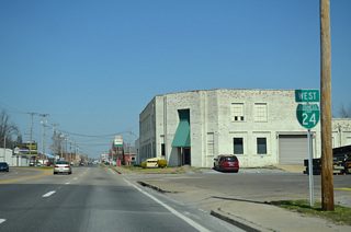
 Interstate 24
195 photos
 Business Loop I-24 - Paducah
34 photos
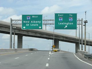
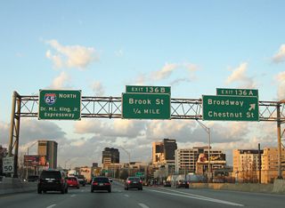
 Interstate 64
305 photos
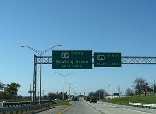
 Interstate 65
242 photos
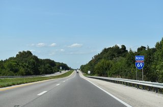
 Interstate 69
262 photos

 Interstate 71
289 photos
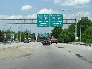
 Interstate 75
464 photos
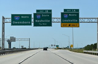
 Interstate 165 - William H. Natcher Expressway
83 photos
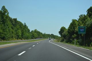
 Edward T. Breathitt Parkway - Future I-169
42 photos
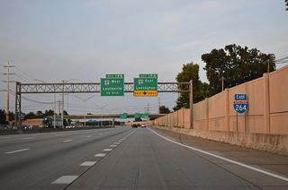
 Interstate 264 - Shawnee Expressway / Watterson Expressway
145 photos
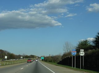
 Interstate 265 / KY 841 - Gene Snyder Freeway
137 photos
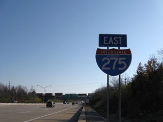
 Interstate 275
115 photos
 Interstate 471
73 photos
U.S. Highways
 U.S. 25
38 photos
 U.S. 27
22 photos
 U.S. 41
46 photos
State Routes
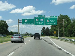
 Route 4 - New Circle Road
35 photos
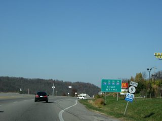
 Kentucky 9 - AA Highway
22 photos
 Route 21
13 photos
 Route 446
3 photos
26 photos
Photo Coverage of Roads and Highways in Kentucky
AARoads documents highways and roads across Kentucky with route-by-route photo guides organized by direction of travel. Coverage includes Interstate Highways, U.S. Routes, Kentucky State Routes, and select county roads.
Photo guides focus on highway signage, interchanges, route markers, city limit signs, county lines, and notable points of interest along each route. Photo guides include extensive coverage of beltways, parkways and major river crossings.
New and updated photos for Kentucky routes are added periodically and cataloged on the updates page.
Photographic Contributors
Photography by Alex Nitzman, Brent Ivy, Carter Buchanan and Justin Cozart.
Last updated: Wednesday December 29, 2021