
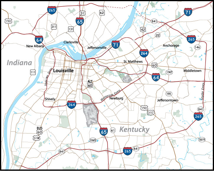
Interstate 64
Interstate 64 joins Louisville, Frankfort, Lexington and Huntington, West Virginia across northern Kentucky. Passing through 12 counties, the freeway runs 191.507 miles between the Sherman Minton Bridge spanning the Ohio River and the Big Sandy River south of Catlettsburg. Throughout the state, I-64 replaced U.S. 60. The freeway also overlaps with Interstate 75 for 6.5 miles around the city of Lexington.
Interstate 64 Kentucky Guides
East
Jefferson County - 59 photos
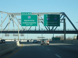
Louisville to Lexington - 46 photos
I-64 East / I-75 South - Lexington - 19 photos
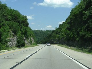
Lexington to Mount Sterling - 9 photos
Mount Sterling to Morehead - 35 photos
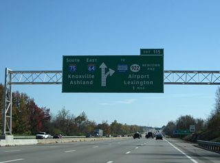
Carter County to West Virginia - 50 photos
West
I-64 West / I-75 North - Lexington - 15 photos

Lexington to Louisville - 20 photos
Jefferson County - 46 photos
Riverside Expressway
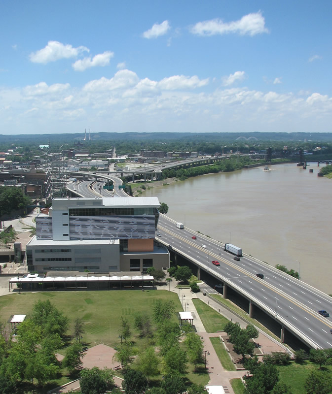
Within Louisville, Interstate 64 is locally known as the Riverside Expressway as it runs along the Ohio River east and west through the city. Leading away from Downtown, I-64 turns more into Kentucky and leaves the Louisville metro area to the east. The Riverside Expressway began in 1955 when it was proposed that the existing riverfront road be widened. In 1957 the plan upgraded the new road to a freeway, and public hearings began in April of 1961. There were no detractors at the public meetings, and public opinion was very pro-freeway. Construction began from the Shawnee Expressway to 3rd St in 1963, and from 3rd St to Zorn in 1965. Both sections were open by late 1967.
Interstate 64 (Riverside Expressway) straddles the Ohio River west of Downtown Louisville to a directional T interchange (Exit 4) with Roy Wilkins Avenue. Further west is the Norfolk-Southern Railroad bridge. Photo by Justin Cozart. - 06/04/2008
The Riverside Expressway is widely blamed for turning Downtown Louisville against the river, and forming a symbolic barrier. Most downtown development began to drift south down 4th Street instead of towards the river, which was at that time covered with railroad tracks and dirty warehouses. The first removal idea was touted in a 1999 study, but was abandoned because of expected traffic congestion. The “8664” idea, to remove the Riverside Expressway, gained traction when proposals surfaced in 2002 to add an Ohio River bridge to ease congestion in the city, and widen I-64.
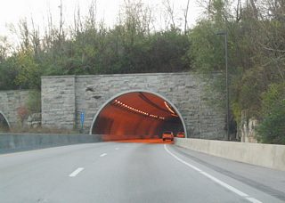
A landmark on the freeway east of Downtown Louisville is the Cochran Hill Tunnel. Opened in 1970, the tunnel carries Interstate 64 under Cherokee Park. The state gave the tunnel a historic landmark designation in 2007. This inhibits plans to widen the expressway, which is only two lanes wide in the area and frequently experiences traffic backups.
Roy Wilkins Avenue northbound at Jefferson Street, one block south of the ramps to Interstate 64 at Exit 4.
06/04/08
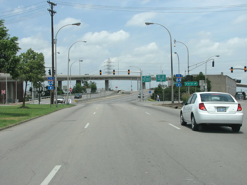
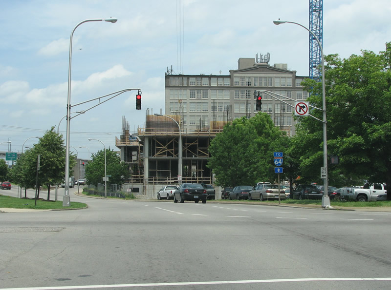
A second set of Interstate 64 trailblazers lie along Roy Wilkins Avenue north at the split with 9th Street at Market Street east. Market Street carries U.S. 31W northbound from 21st Street north to 2nd Street in Downtown Louisville.
06/04/08
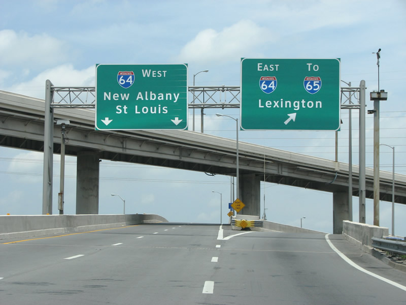
A directional T interchange connects Roy Wilkins Avenue with Interstate 64 along the Ohio River.
06/04/08
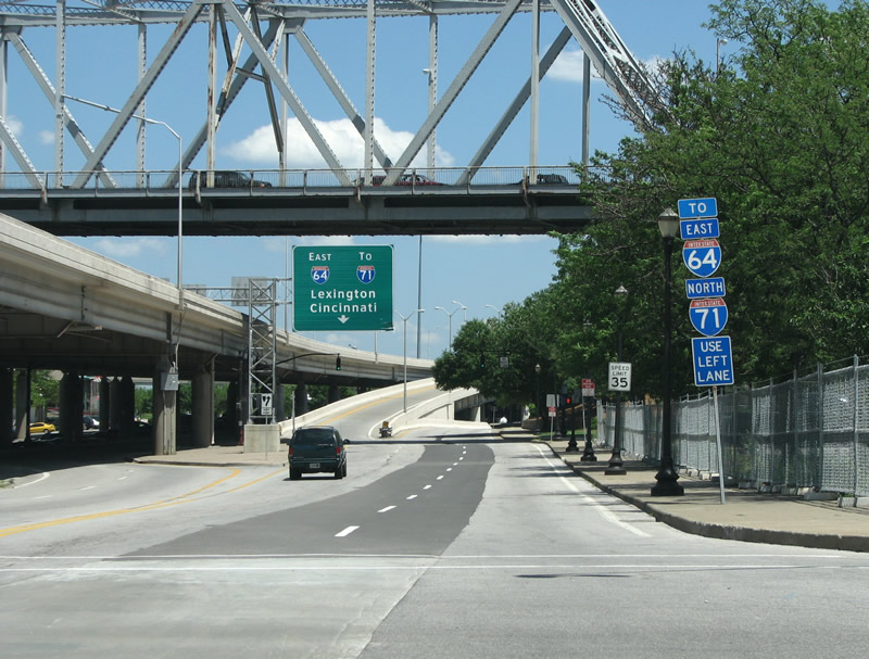
Looking east from the River Road intersection with North 3rd Street at the entrance ramp to Interstate 64 east. U.S. 31 (George Rogers Clark Memorial Bridge) passes over the wye interchange at Exit 5B in this scene.
06/05/08
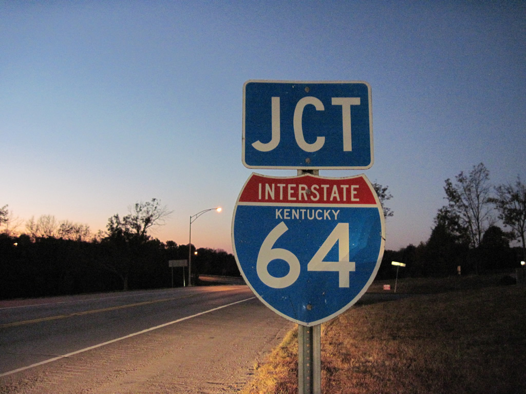
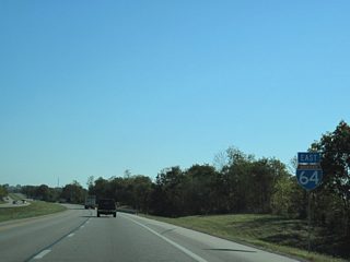
I-64 state named shield posted along KY 151 north ahead of the diamond interchange at Exit 48.
10/01/10
Photo Credits:
- Justin Cozart: 06/04/08, 06/05/08
- ABRoads, Carter Buchanan: 10/01/10
Connect with:
Page Updated Monday February 25, 2013.