
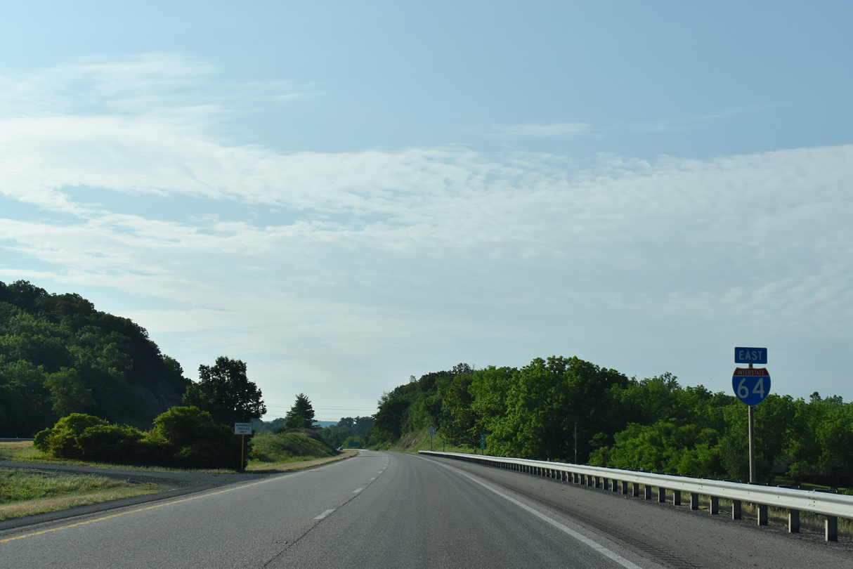
Interstate 64 East - Staunton to Waynesboro

 East
East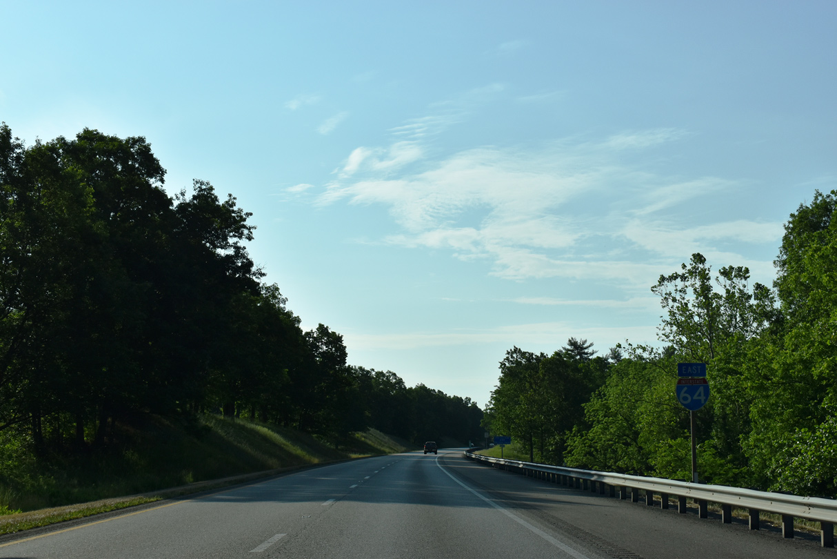
05/28/21
05/28/21
05/28/21
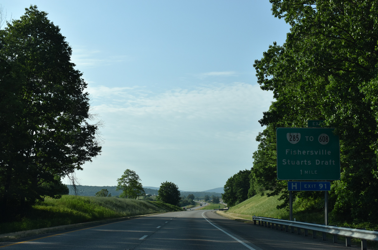
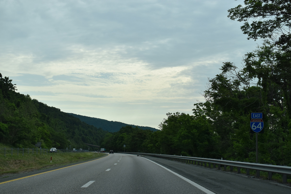
Paralleling U.S. 250 (Jefferson Highway) to the south Interstate 64 heads southeast from I-81 to Exit 91 for SR 285 north and SR 608 south along Tinkling Springs Road.
05/28/21
05/28/21
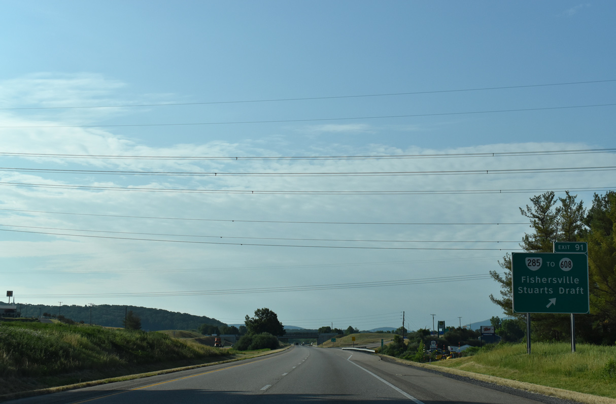
SR 285 (Tinkling Springs Road) runs 1.85 miles north from SR 608 and SR 631 (Ladd Road) just south of the diamond interchange at Exit 91 to U.S. 250 in Fishersville. SR 608 extends Tinkling Springs Road south 4.66 miles to U.S. 340 at Stuarts Draft.
05/28/21
05/28/21
05/28/21
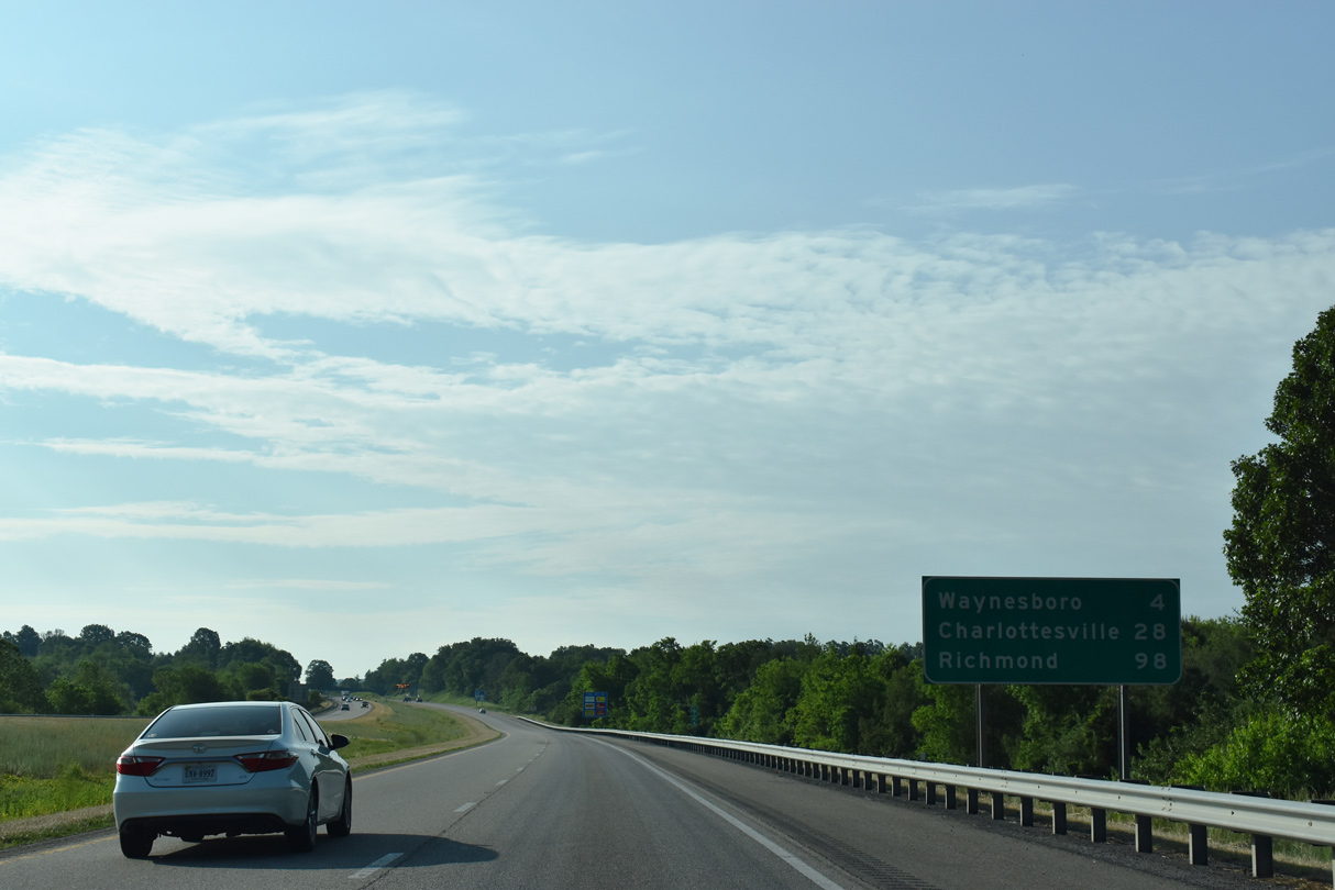
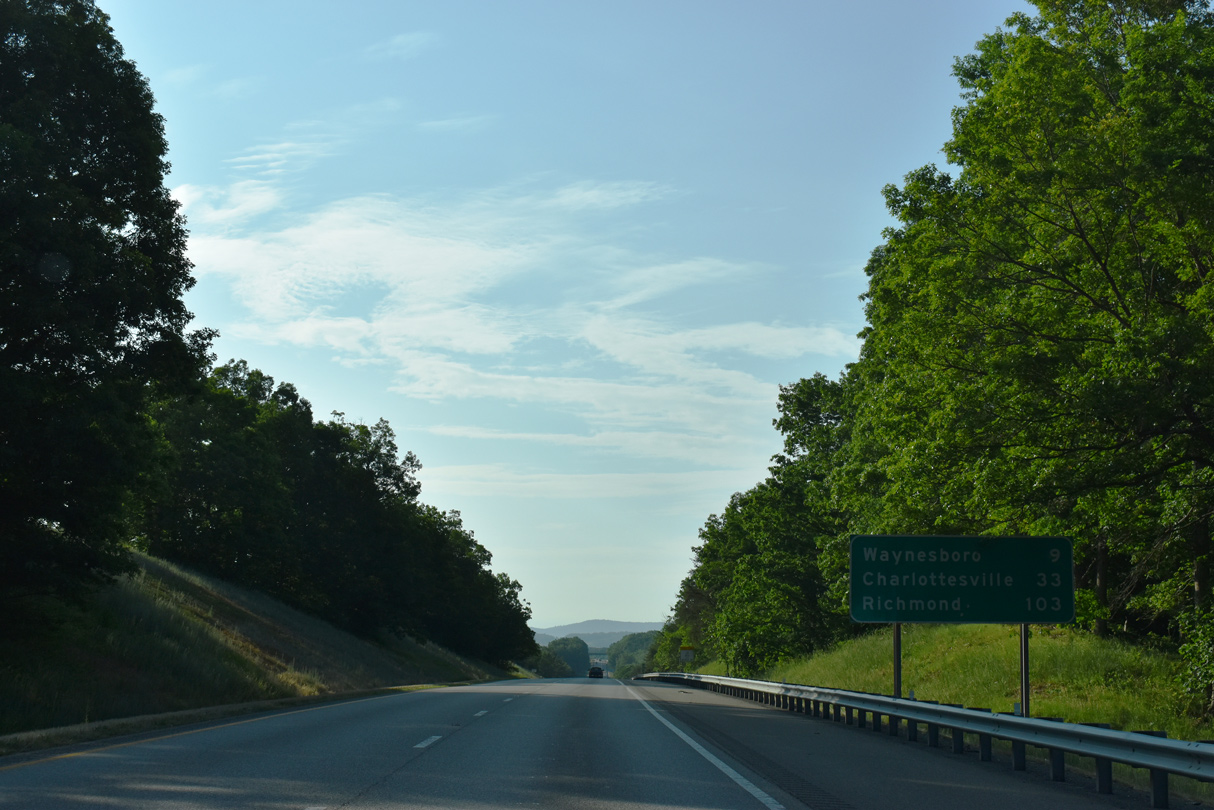
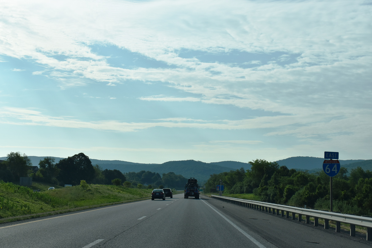
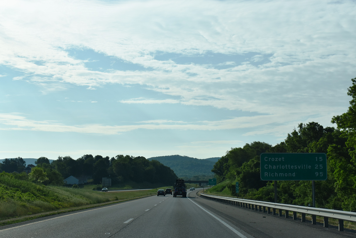
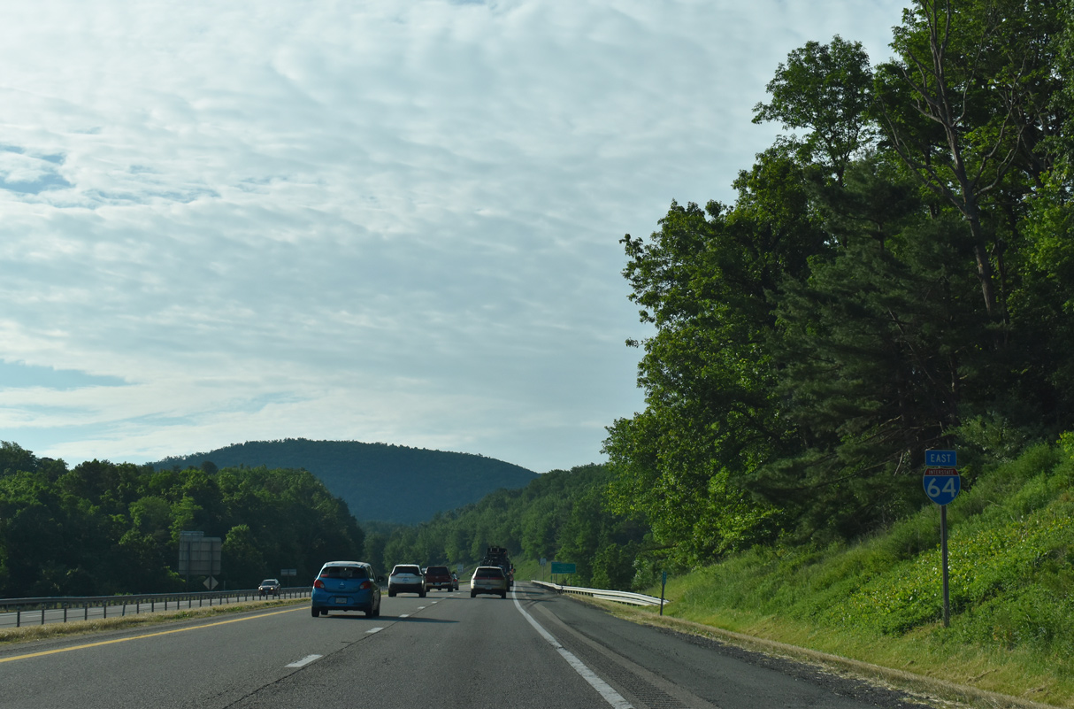
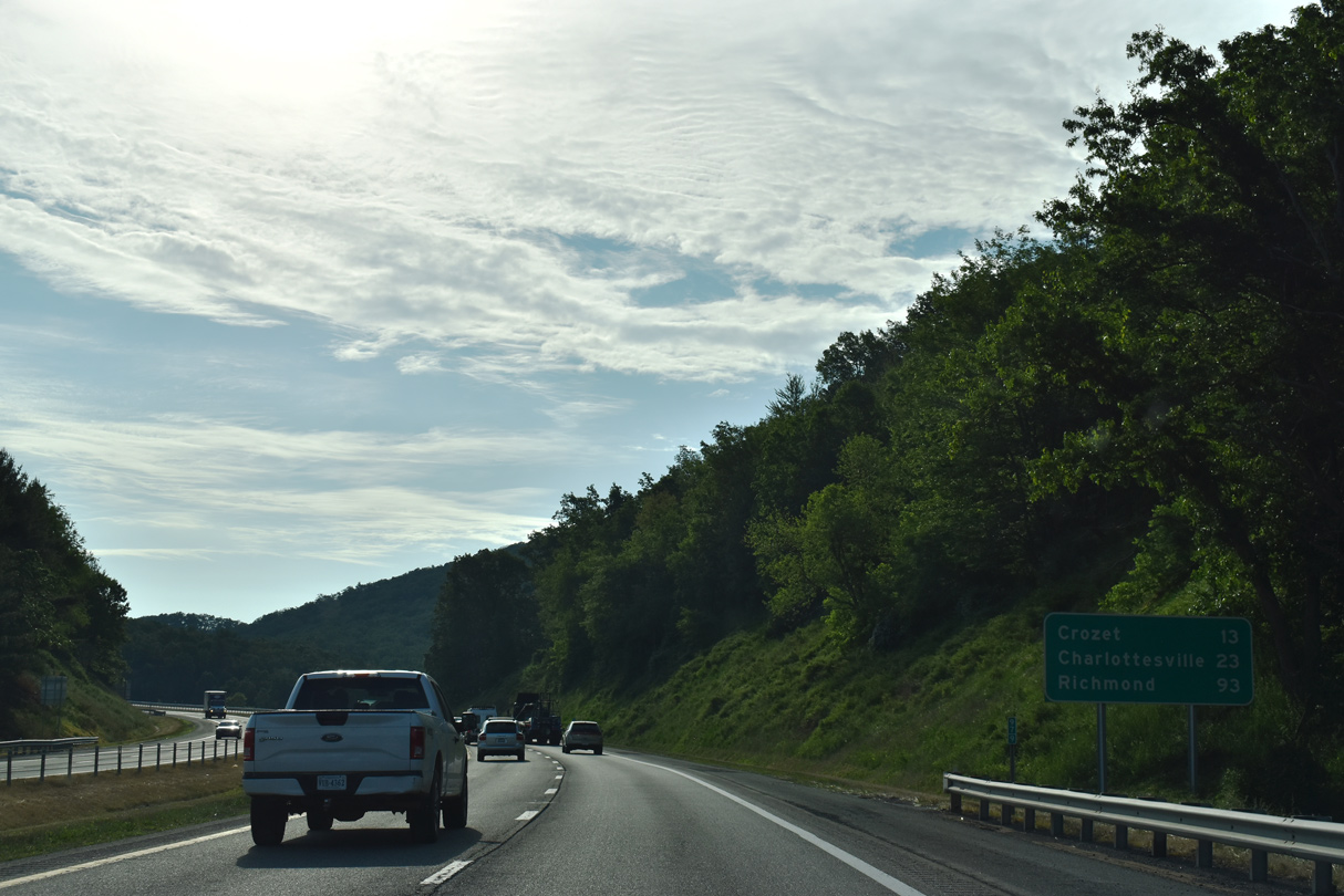
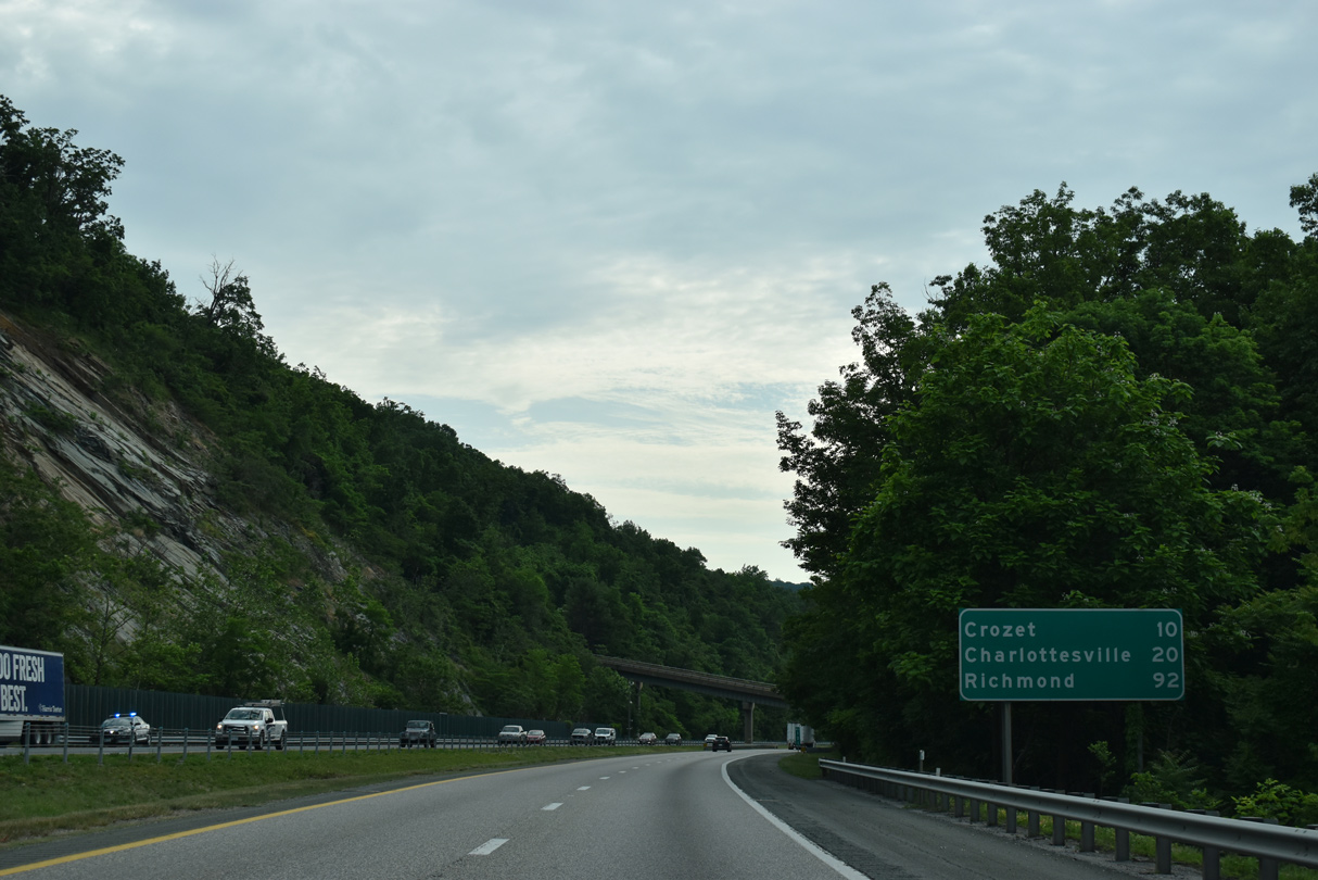
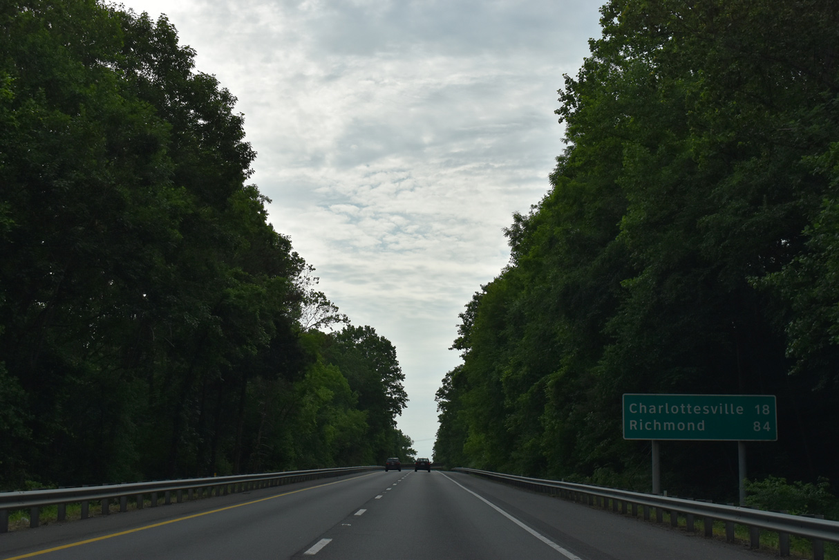
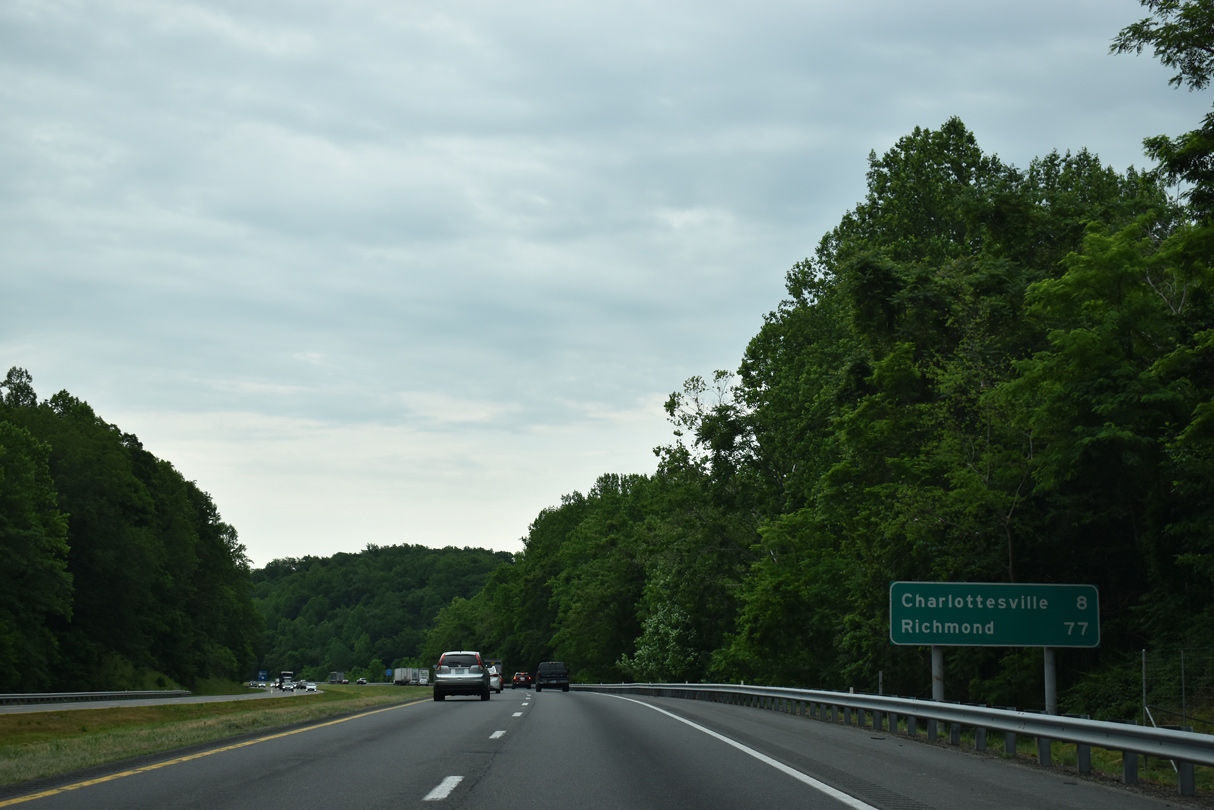
The succeeding two exits along I-64 east fall within the independent city of Waynesboro. Charlottesville follows in 28 miles.
05/28/21
05/28/21
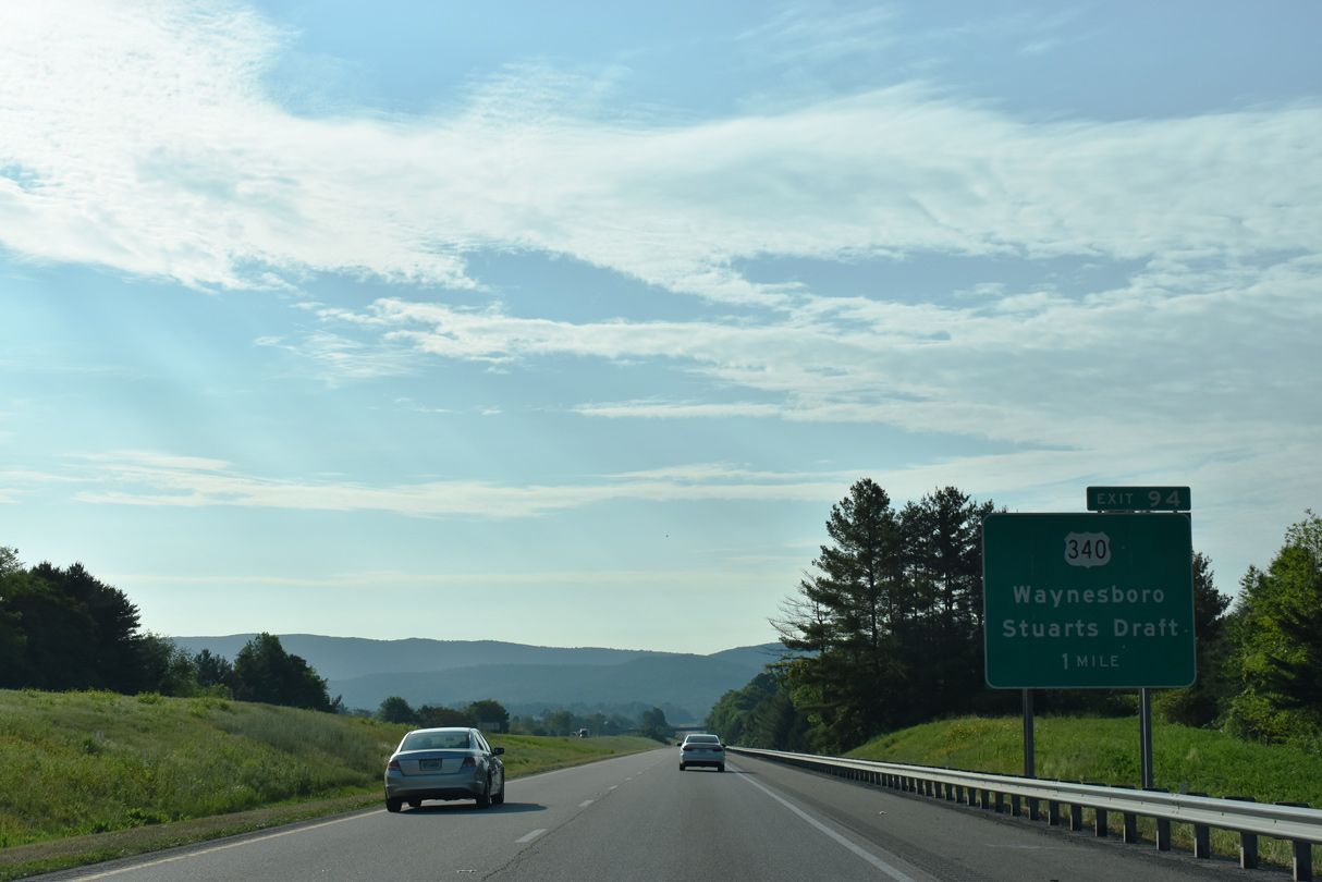
Forthcoming U.S. 340 follows the Shenandoah Valley along the western foothills of the Blue Ridge Mountains from Waynesboro north to Elkton, Luray and Front Royal.
05/28/21
05/28/21
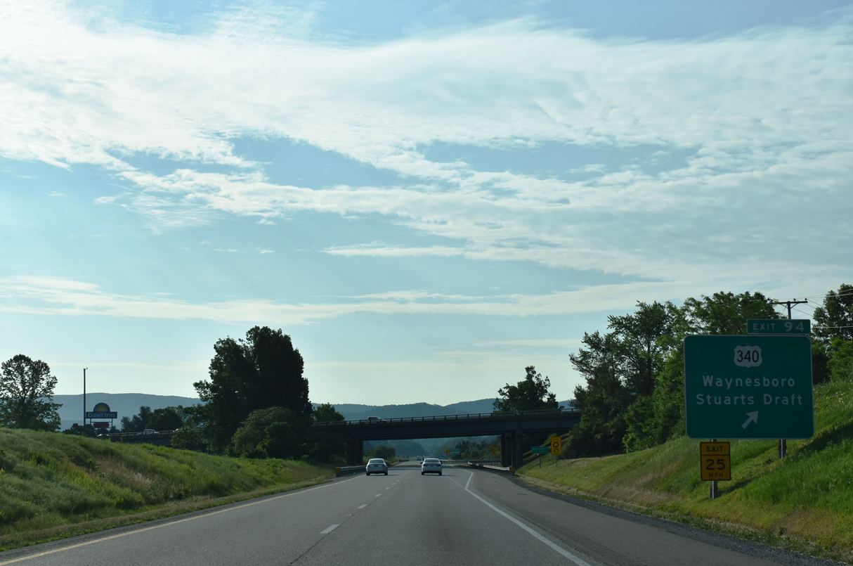
U.S. 340 (Stuarts Draft Highway) continues 12.06 miles west from Exit 94 in Waynesboro to Stuarts Draft and U.S. 11 near Greenville.
05/28/21
05/28/21
05/28/21
05/28/21
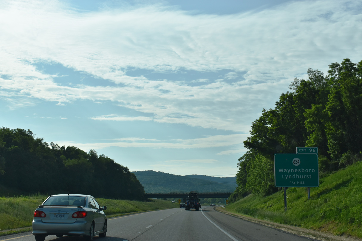
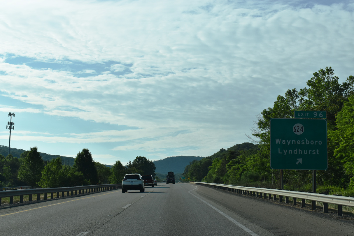
Continuing east, I-64 advances 0.75 miles to Exit 96 with Delphine Avenue north toward Downtown Waynesboro and south to SR 624 (Mount Torrey Road) for Lyndhurst.
05/28/21
05/28/21
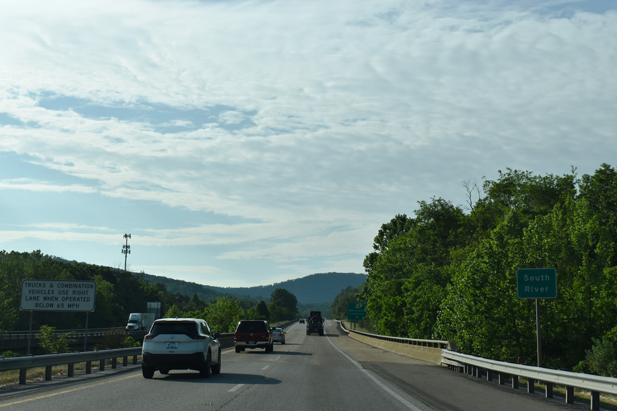
Interstate 64 crosses the South River ahead of the parclo interchange (Exit 96) with Delphine Avenue in Waynesboro.
05/28/21
05/28/21
SR 624 (Mount Torry Road) connects I-64 with SR 664 (Lyndhurst Road) south to Sherando and George Washington National Forest in the Blue Ridge Mountains.
05/28/21
05/28/21
05/28/21
05/28/21
05/28/21

05/28/21
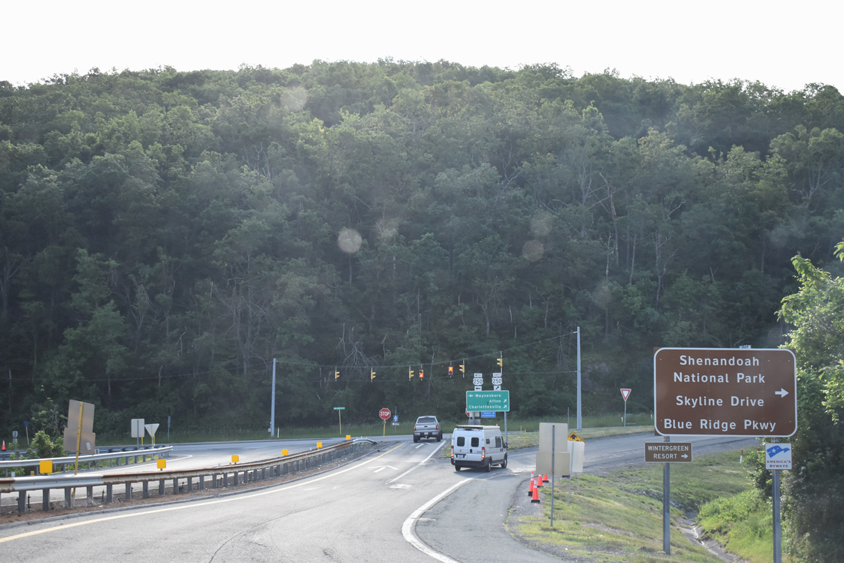
Interstate 64 climbs eastward into the Blue Ridge Mountains to Rockfish Gap, where U.S. 250, Skyline Drive and Blue Ridge Parkway come together.
05/28/21
05/28/21
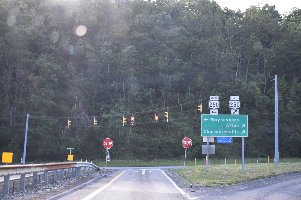
U.S. 250 (Rockfish Gap Turnpike) parallels I-64 east to SR 6 (Afton Mountain Road) at Afton. SR 6/151 combine south from Avon into Rockfish Valley. SR 6 heads east to Richmond along a route roughly parallel to the James River, while SR 151 heads south to meet U.S. 29 just north of Amherst.
05/28/21
05/28/21
05/28/21

Skyline Drive spans Interstate 64 north from Blue Ridge Parkway adjacent to the U.S. 250 underpass at Rockfish Gap.
05/28/21
05/28/21

Blue Ridge Parkway follows the Blue Ridge Mountains of the Appalachian Mountains from the Great Smoky Mountains National Park south entrance near Cherokee, North Carolina, northeast into Virginia. Skyline Drive continues the scenic byway from U.S. 250 north into Shenandoah National Park.
05/28/21
05/28/21
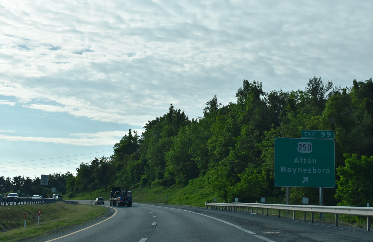
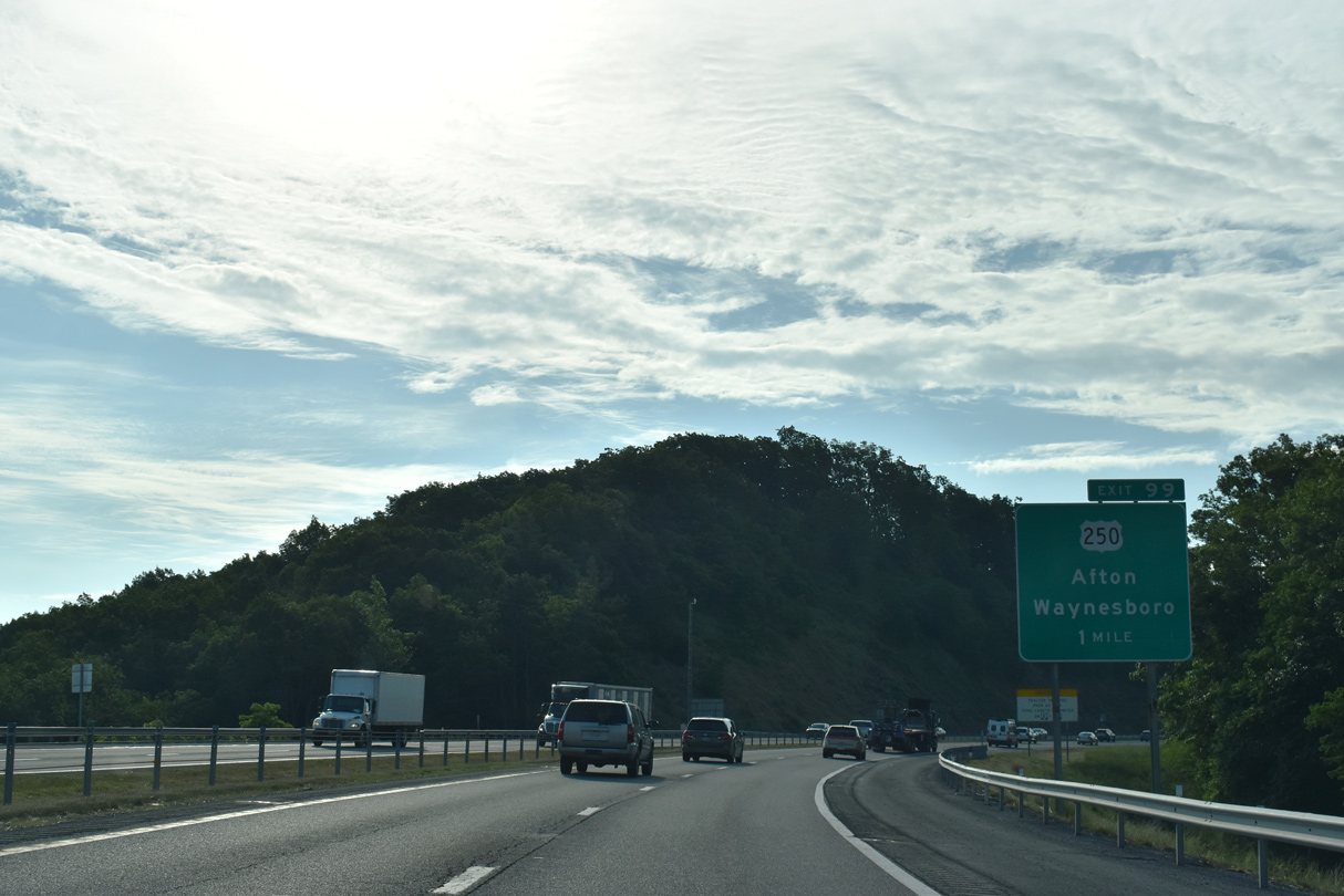
U.S. 250 (Three Notched Mountain Highway) follows a winding course north from the trumpet interchange and access road at Exit 99 back into Waynesboro.
05/28/21
05/28/21
05/28/21
05/28/21
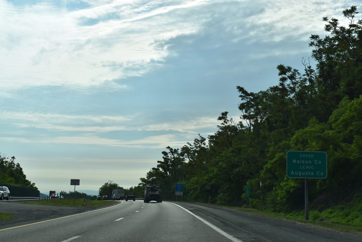
Interstate 64 runs across the northern tip of Nelson County 1.36 miles east from Rockfish Gap.
05/28/21
05/28/21
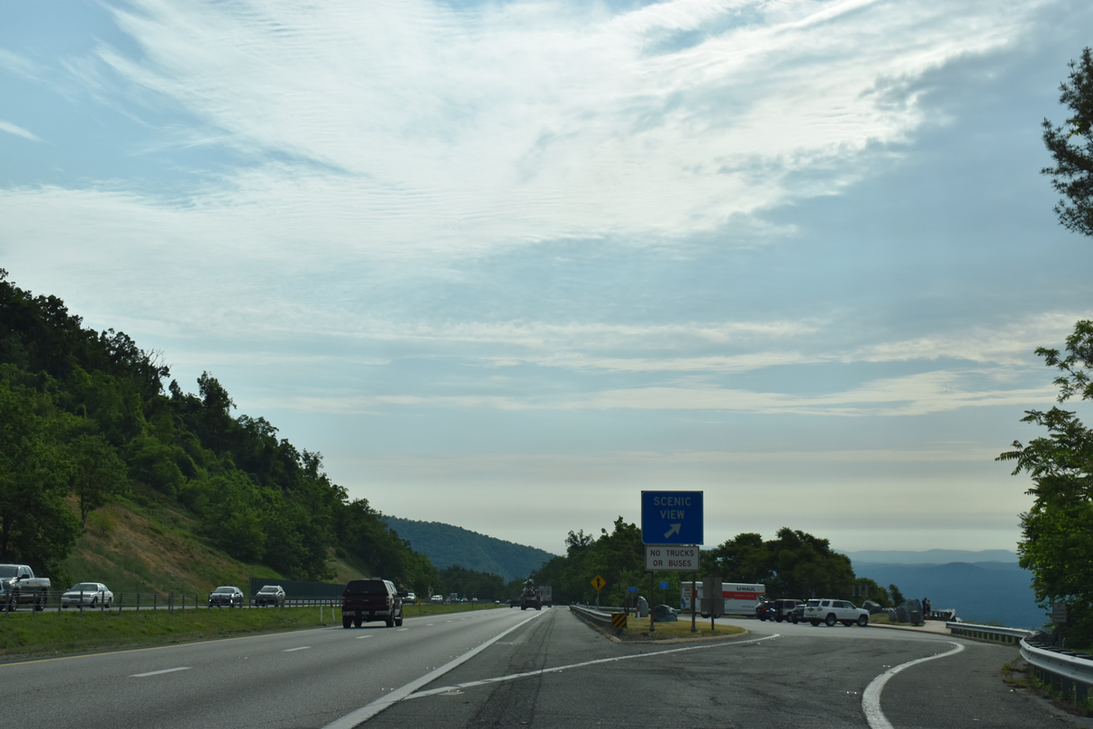
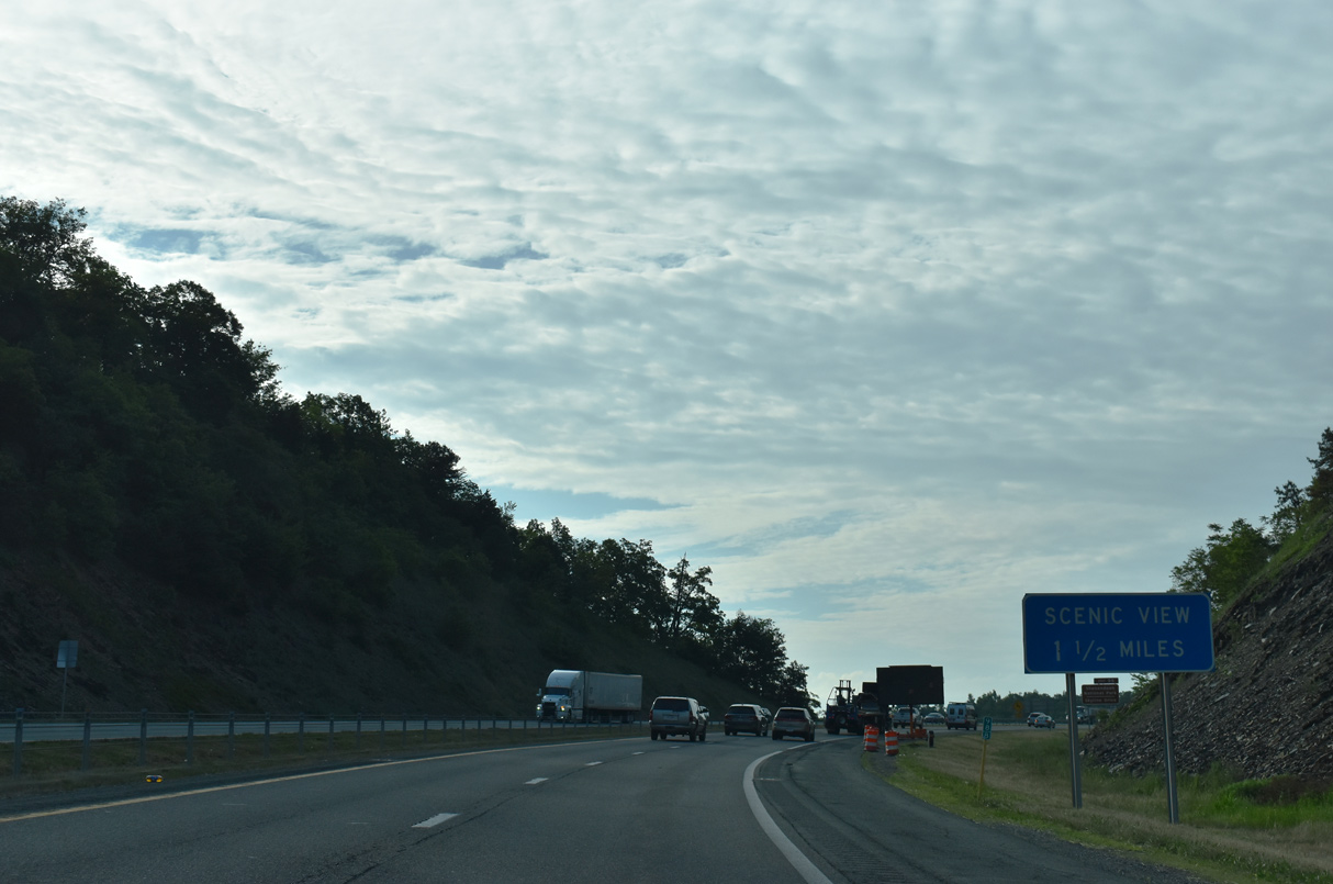
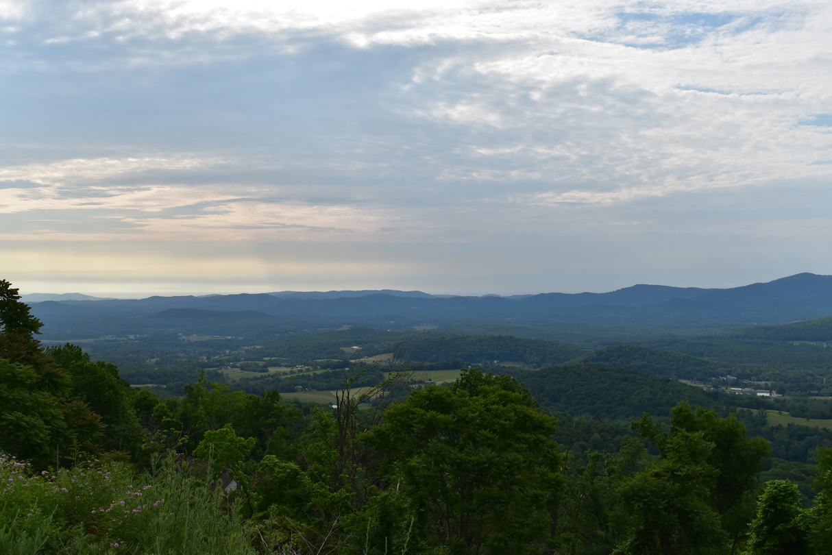
The first of two scenic view areas along Interstate 64 in the Blue Ridge Mountains is located in Nelson County northeast of Elk Mountain.
05/28/21
05/28/21
05/28/21
05/28/21
05/28/21
05/28/21
05/28/21

Interstate 64 enters Albemarle County 99.96 miles east of the West Virginia state line.
05/28/21
05/28/21
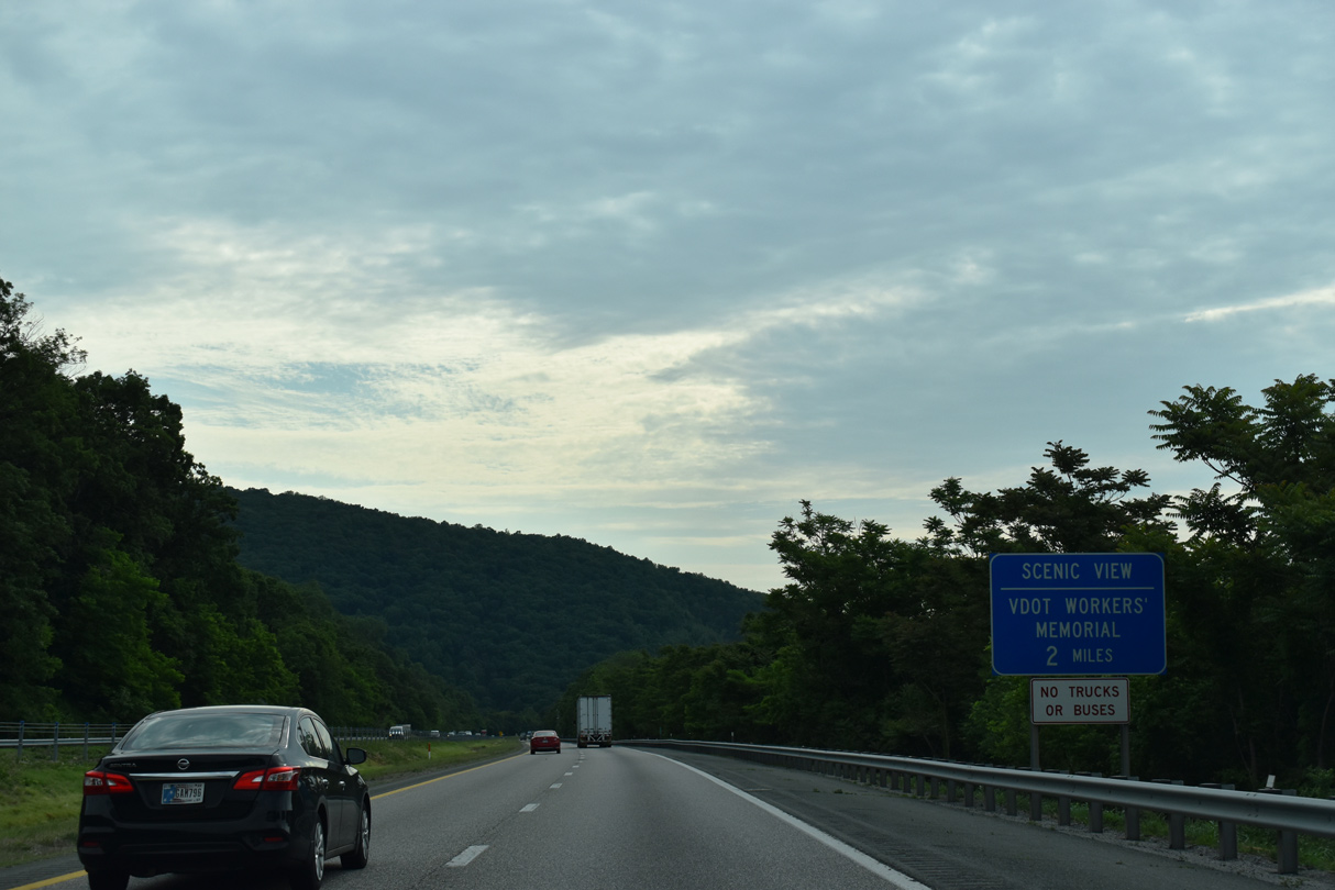
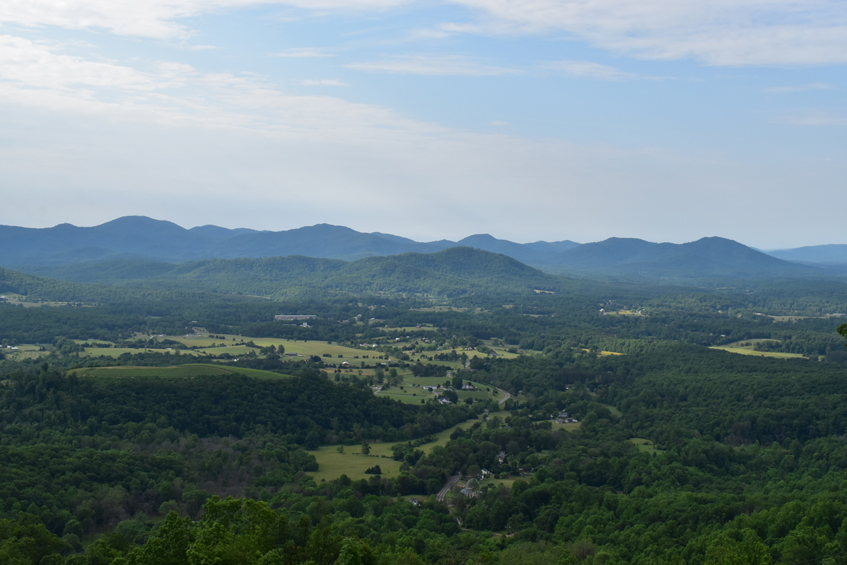
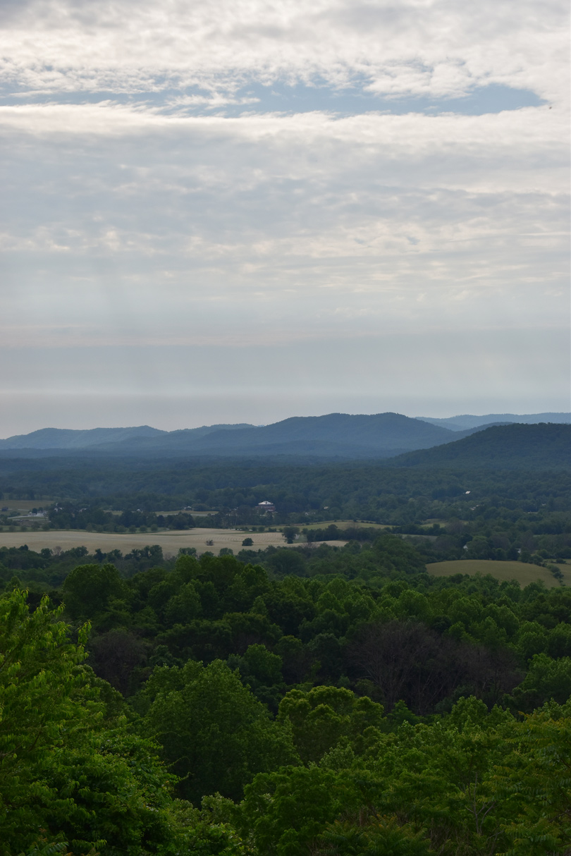
Home of the VDOT Workers's Memorial, the second scenic view area lines I-64 eastbound near Newtown, north of Turks Mountain.
05/28/21
05/28/21

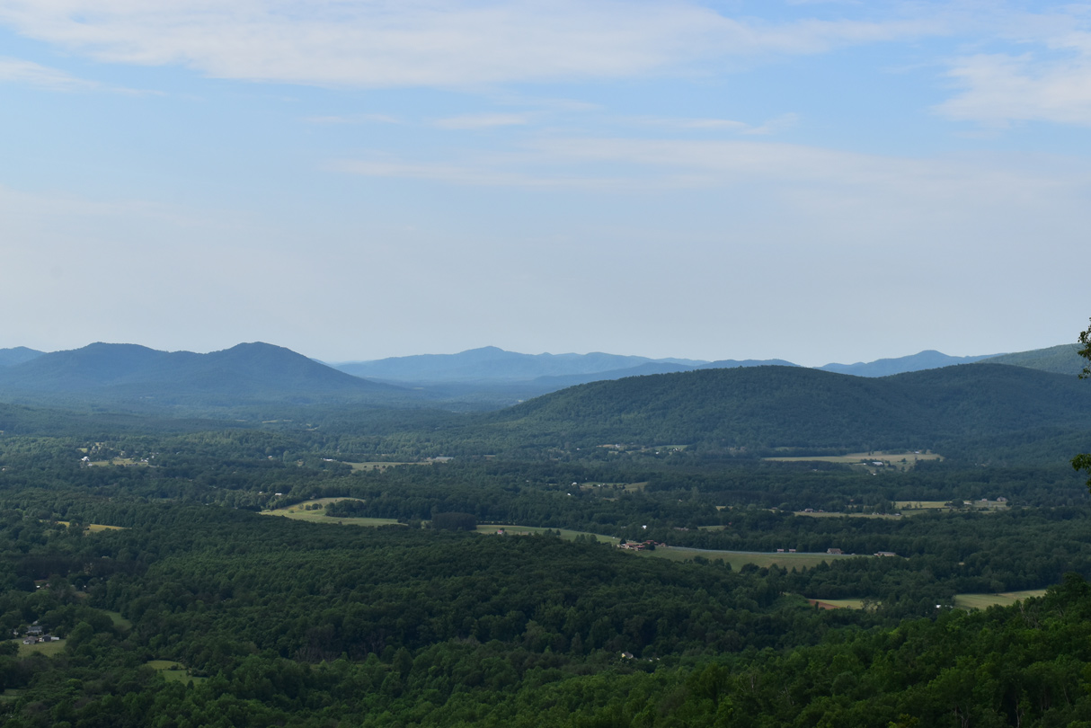
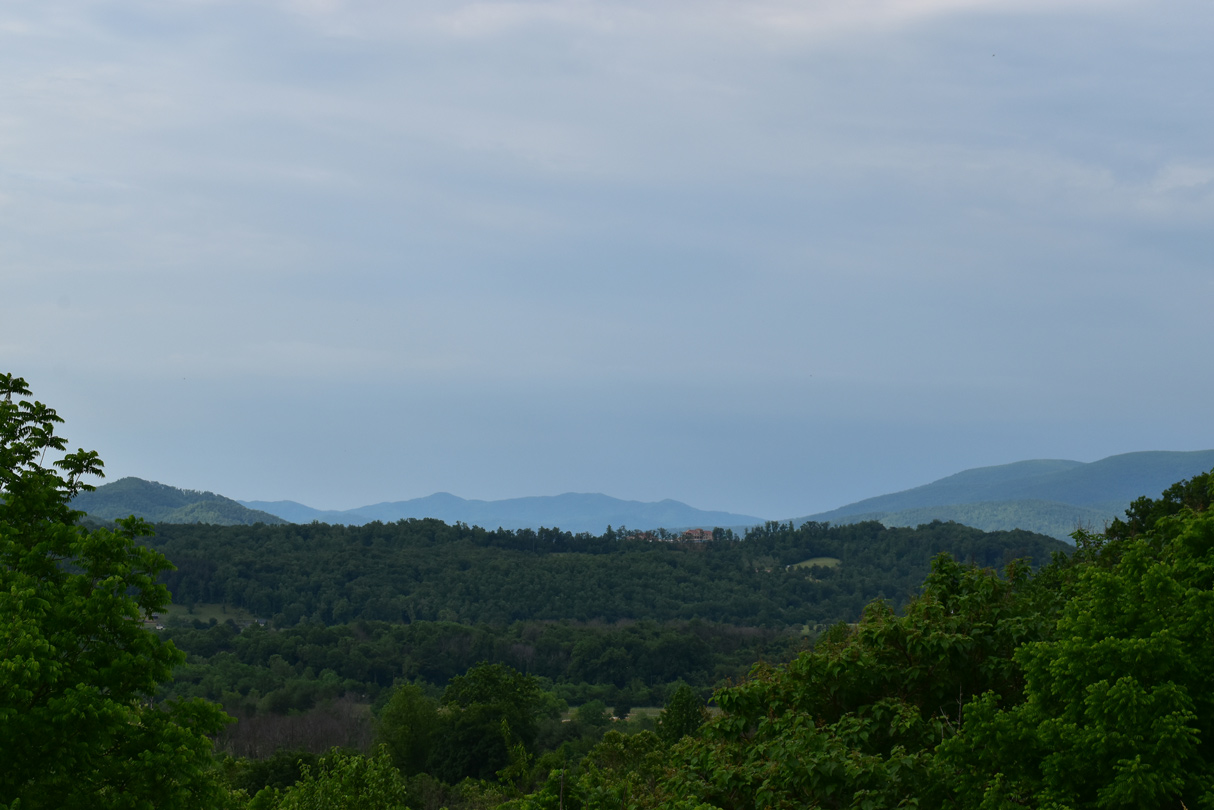
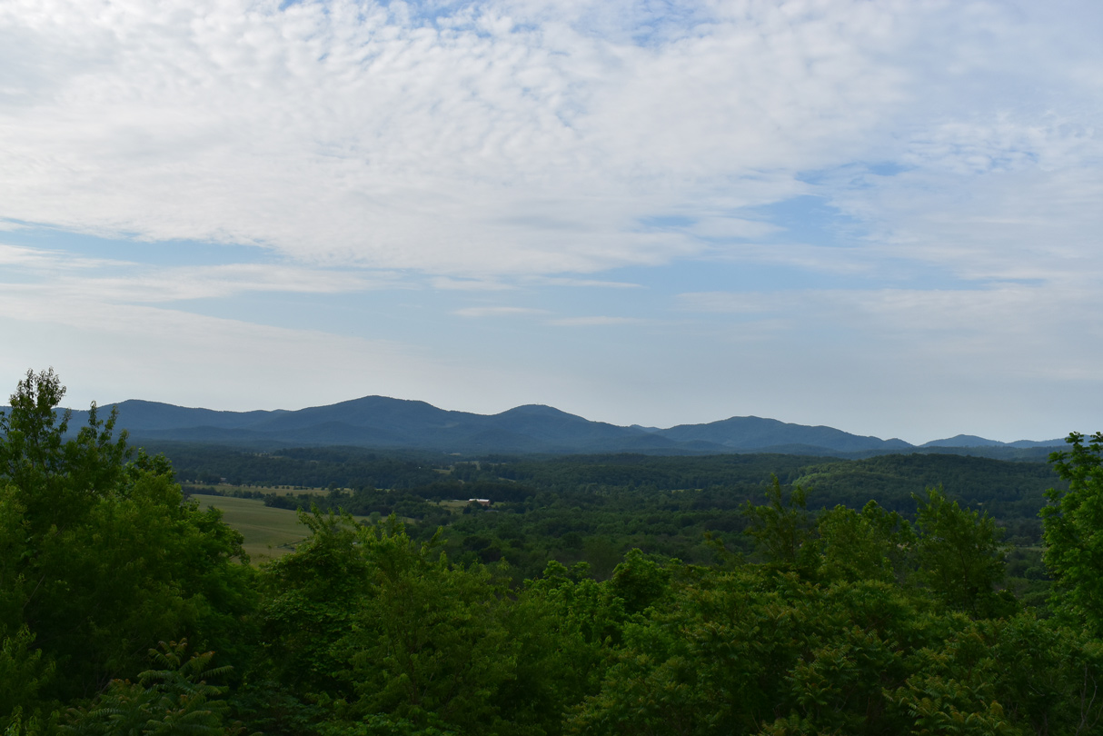
The second scenic turn out shows rural Albemarle County near Milepost 103, south of Bear Den Mountain.
05/28/21
05/28/21
05/28/21
05/28/21
05/28/21
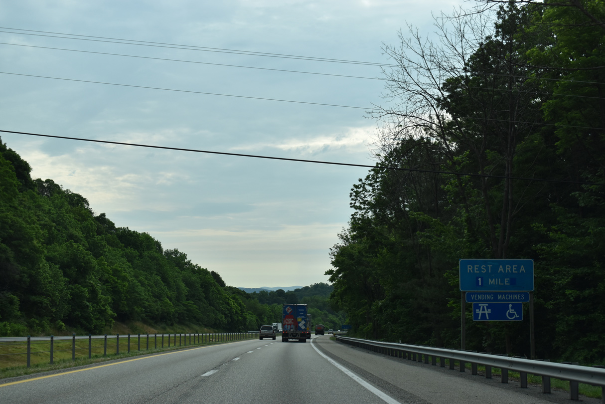
The Charlottesville Safety Rest Area along Interstate 64 eastbound is located near mile marker 104.
05/28/21
05/28/21
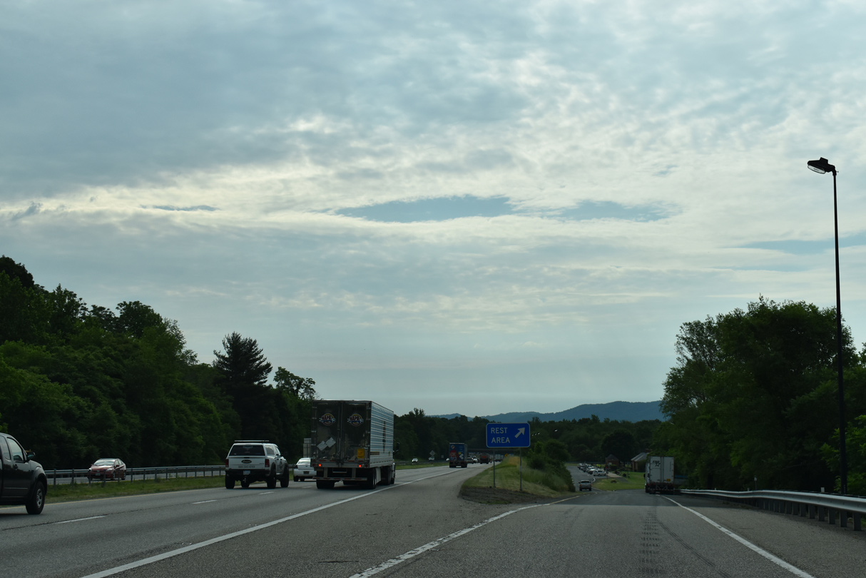
Interstate 64 reaches the Charlottesville Safety Rest Area south of Greenwood. The succeeding facility is 66 miles to the east.
05/28/21
05/28/21
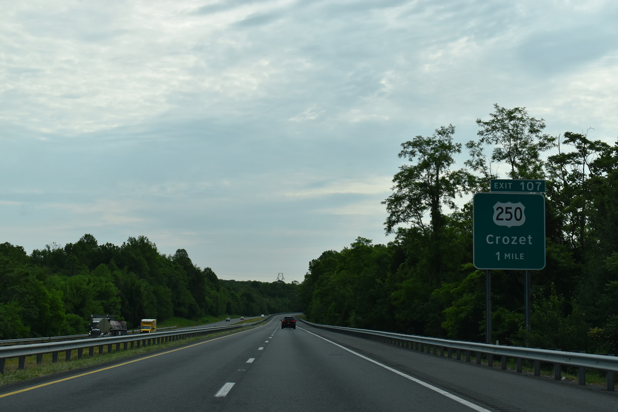
U.S. 250 (Rockfish Gap Road) converges with I-64 again at Exit 107 at Yancey Mills.
05/28/21
05/28/21
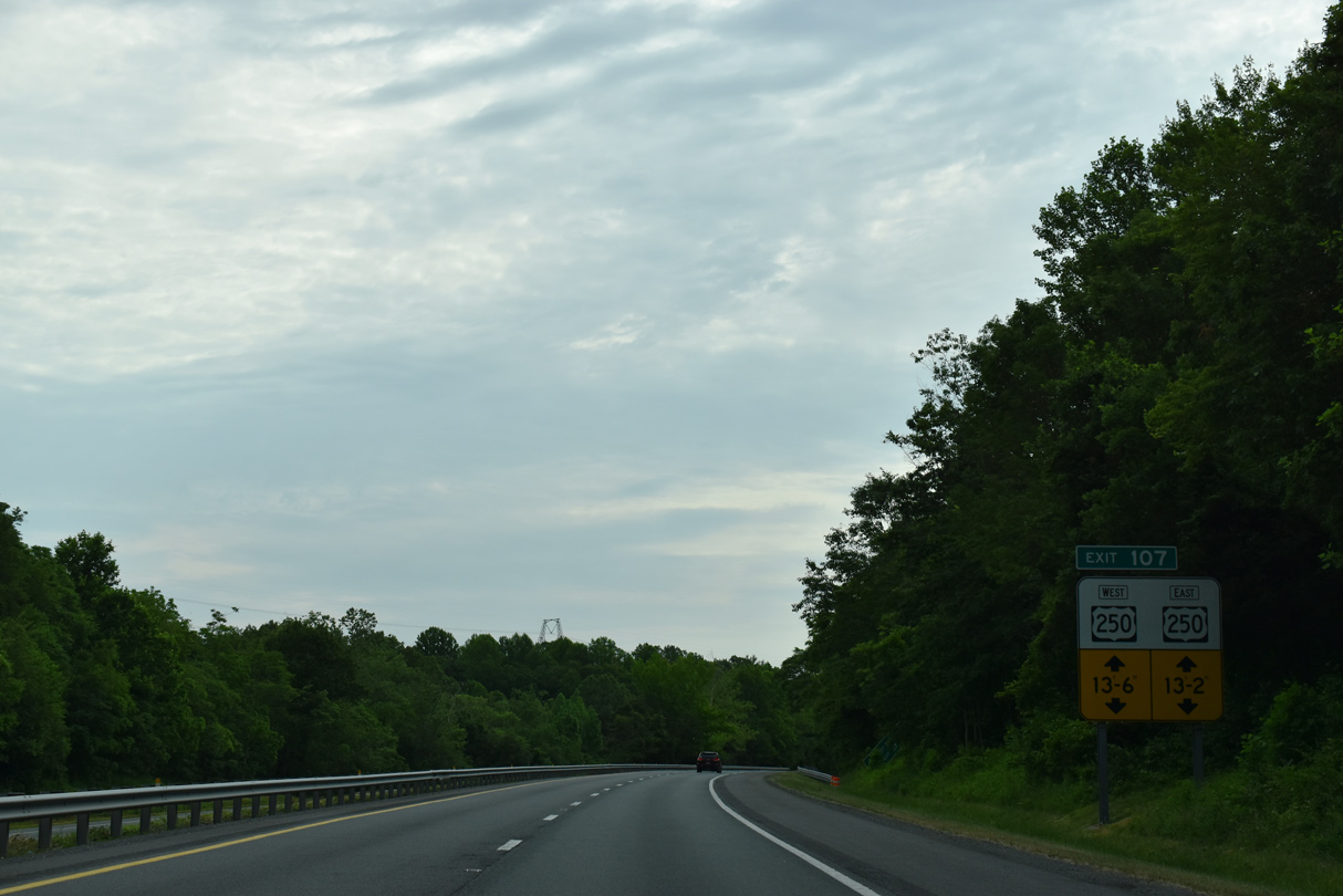
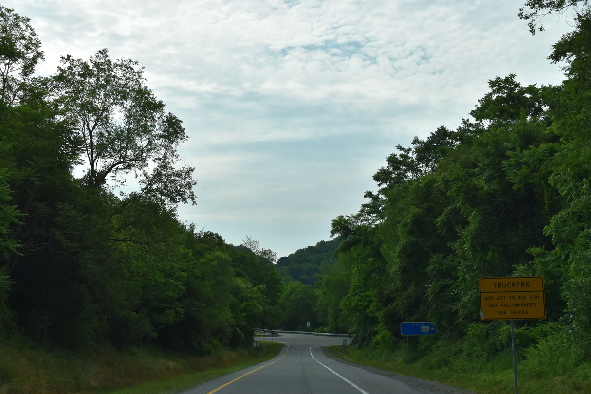
Low clearance restrictions are in place along both directions of U.S. 250 leading away from the diamond interchange at Exit 107.
05/28/21
05/28/21

U.S. 250 advances 1.69 miles east from Exit 107 to SR 240 (Crozet Avenue) north into the bedroom community of Crozet at Brownsville.
05/28/21
05/28/21
05/28/21
05/28/21

05/28/21

Passing south of Gillums Mountain, I-64 progresses east to a diamond interchange (Exit 114) with SR 637 (Dick Woods Road).
05/28/21
05/28/21
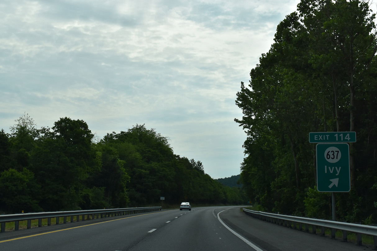
Paralleling Ivy Creek, SR 637 (Dick Woods Road) meanders north 2.10 miles to U.S. 250 (Ivy Road) at the community of Ivy.
05/28/21
05/28/21
05/28/21
05/28/21
Interstate 64 traverses the Ragged Mountains south of Charlottesville Reservoir ahead of the six-ramp parclo interchange (Exit 118) with U.S. 29 (Moncan Trail).
05/28/21
05/28/21

Photo Credits:
- Brent Ivy: 05/28/21
Connect with:
Page Updated Tuesday August 10, 2021.