
Interstate 64 West - Jefferson County
Interstate 64 skims the outer fringes of Louisville's suburbs on the approach to Exit 19, I-265/KY 841 (Gene Snyder Freeway). Like the Watterson Expressway, Interstate 265 has its name as a control point.
11/12/04
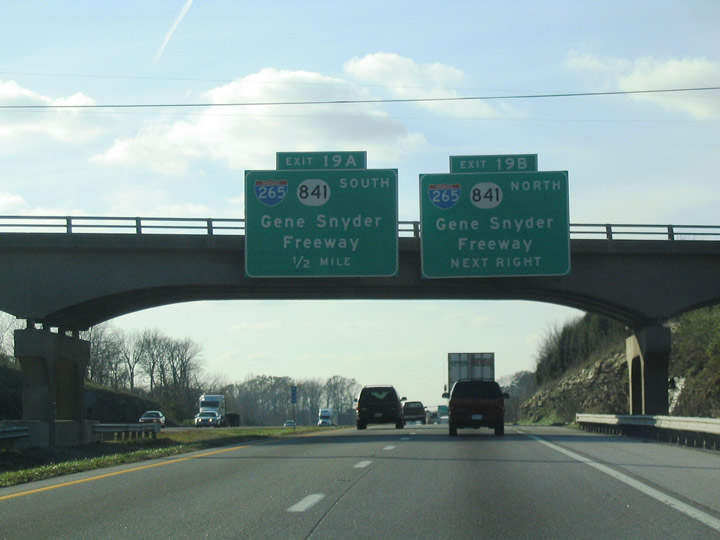
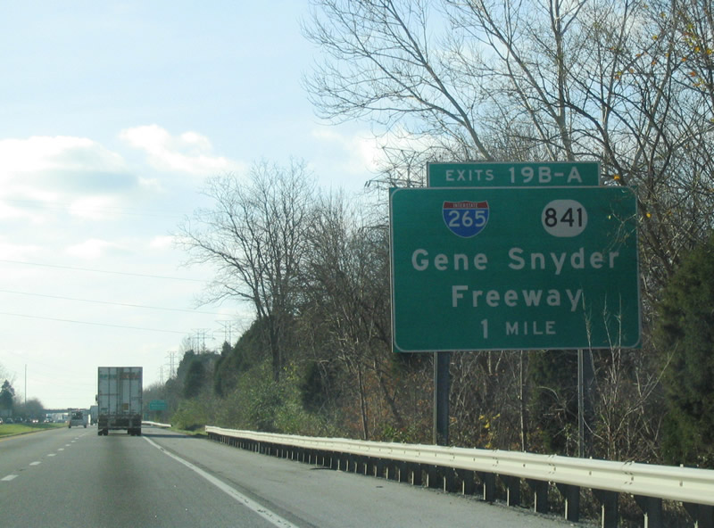
Passing under English Station Road, Exits 19B to Middletown and 19A to the south suburbs prepare to depart Interstate 64 west at a cloverleaf interchange. KY 841 is consistently co-signed with Interstate 265 throughout the Gene Snyder Freeway.
11/12/04
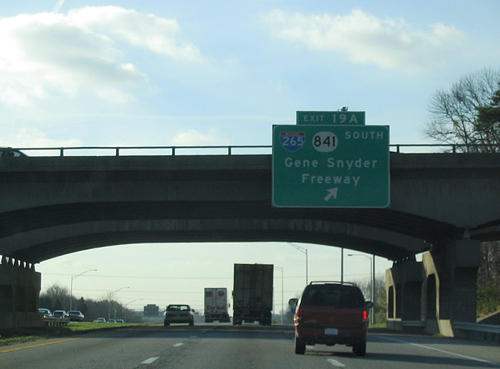
Exit 19 A loops onto I-265/KY 841 south; the Gene Snyder continues 15 miles to Interstate 65 and 25 miles to U.S. 31W/60 near Valley Station. This junction was built in the late 1970s and has not been upgraded since.
11/12/04
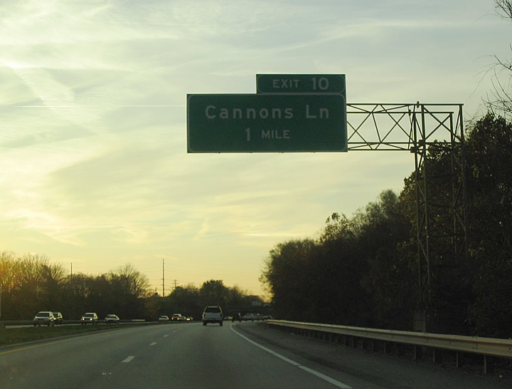
Interstate 64 enters the suburb of St. Matthews ahead of Exit 10 to Cannons Lane.
11/12/04
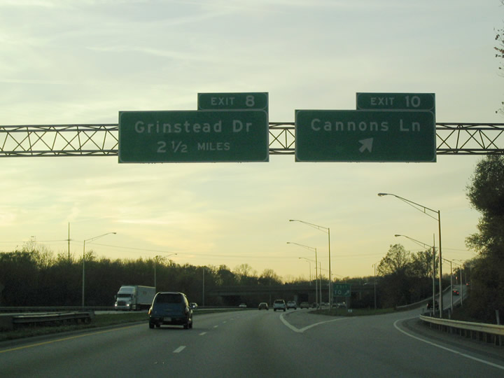
A diamond interchange joins I-64 west with Cannons Lane (KY 2048) at Exit 10. KY 2048 leads south to Bowman Field and KY 155 (Taylorsville Road) and northwest to U.S. 42 (Brownsboro Road), wholly within Louisville.
11/12/04
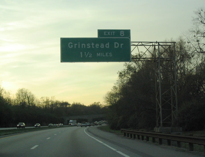
Grinstead Drive ties into Interstate 64 north of its connection with U.S. 60 Alternate (Lexington Road / Cherokee Parkway) at Exit 8.
11/12/04

The freeway enters Seneca Park west of the Old Cannons Road underpass. Stone facades adorn the overpasses to blend in the architecture with the surrounding parkland. Passing above the freeway is Pee Wee Reese Parkway, named after the Louisville-born Major League Baseball player.
11/12/04
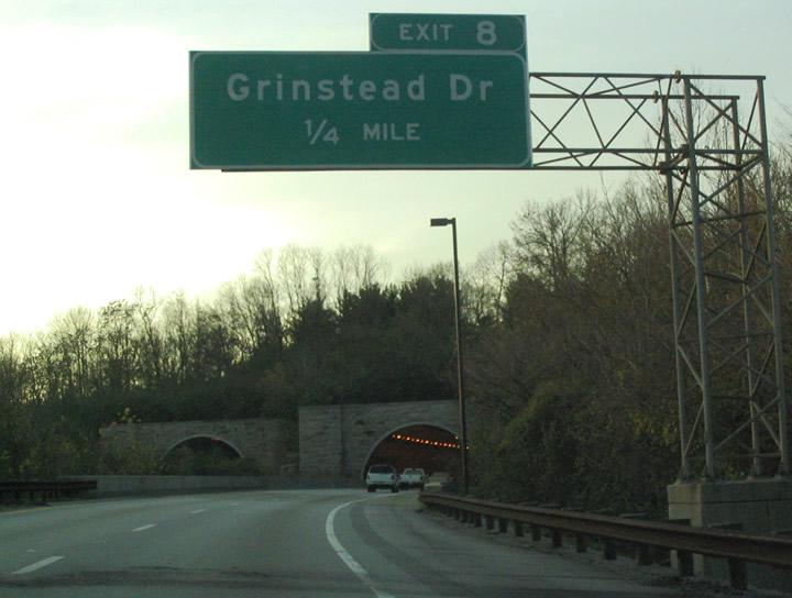
Approaching the Cherokee Park tunnel on Interstate 64 west, one quarter mile east of the Exit 8 diamond interchange with Grinstead Drive.
11/12/04
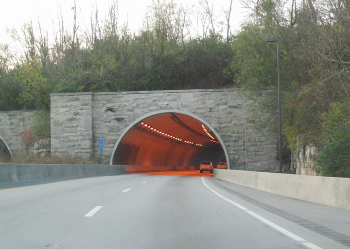
The Cherokee Park tunnels opened in 1970 and take Interstate 64 under Cherokee Park. The park, designed by famous landscape architect Frederick Law Olmstead, is an oasis of green in central Louisville. The tunnels were repaved in 2006, and talk was made of painting a mural in them but was determined to be too much of a distraction to drivers. The two lane tunnels also mean that widening the freeway here would be very difficult.
11/12/04
Motorists exit the tunnel and immediately encounter the Exit 8 off-ramp to Grinstead Drive. There is no trace of the adjacent residential areas, and the beautiful Cherokee Triangle neighborhood just south of the freeway here. The area is known for its annual art fair and funky architecture.
11/12/04
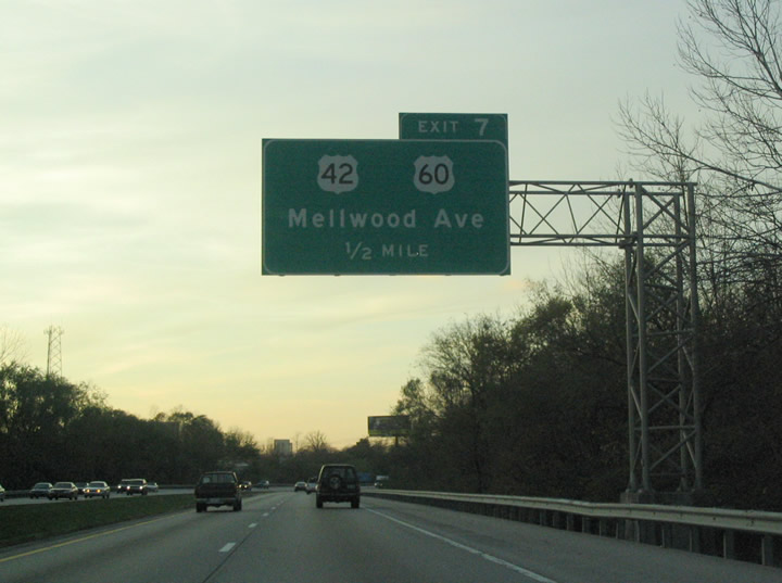
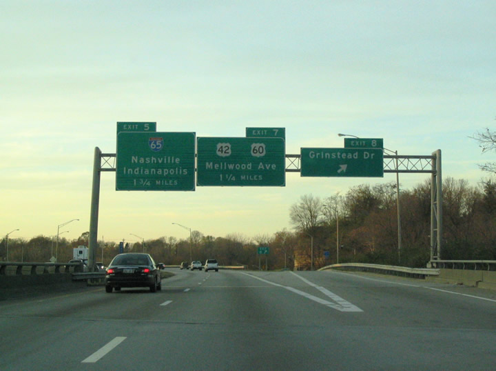
U.S. 42 (Brownsboro Road) and U.S. 60 (Frankfort Avenue) combine near the split diamond interchange (Exit 7) with Mellwood and Story Avenues east of Downtown.
11/12/04
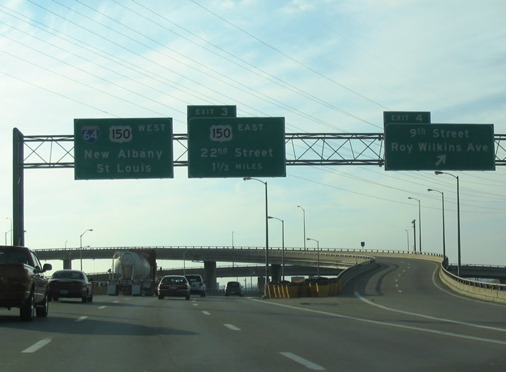
I-64 passes under Payne Street and an adjacent railroad ahead of Exit 7 for U.S. 42 north and U.S. 60 east (Mellwood Avenue). U.S. 42 south / U.S. 60 west follow Story Avenue briefly before the two directions combine along Main Street into Downtown.
11/12/04
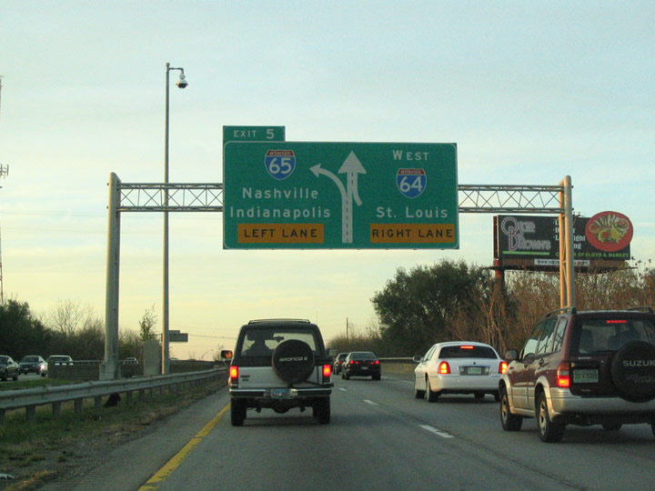
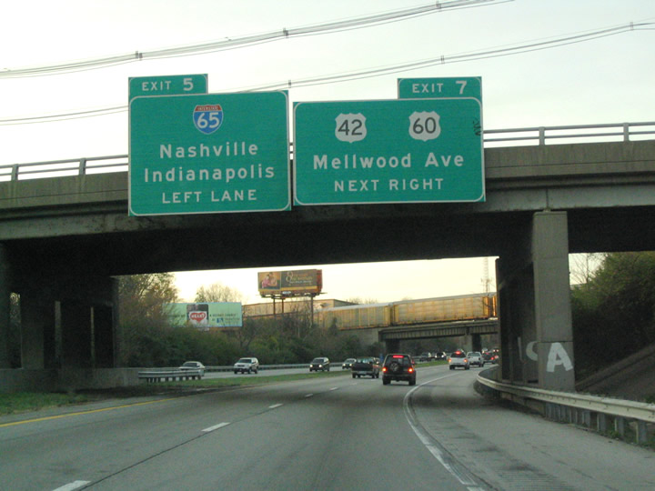
Just beyond the Story Avenue on-ramp is the merge with Interstate 71's southern terminus and the Kennedy Interchange with Interstate 65 (Exit 5A).
11/12/04
Interstate 71's northbound beginning passes over Interstate 64 west ahead of the Exit 5A ramp split to the Kennedy Interchange. All traffic interests to Interstate 65 depart in unison for the freeway north to Jeffersonville and Clarksville and south through downtown.
11/12/04
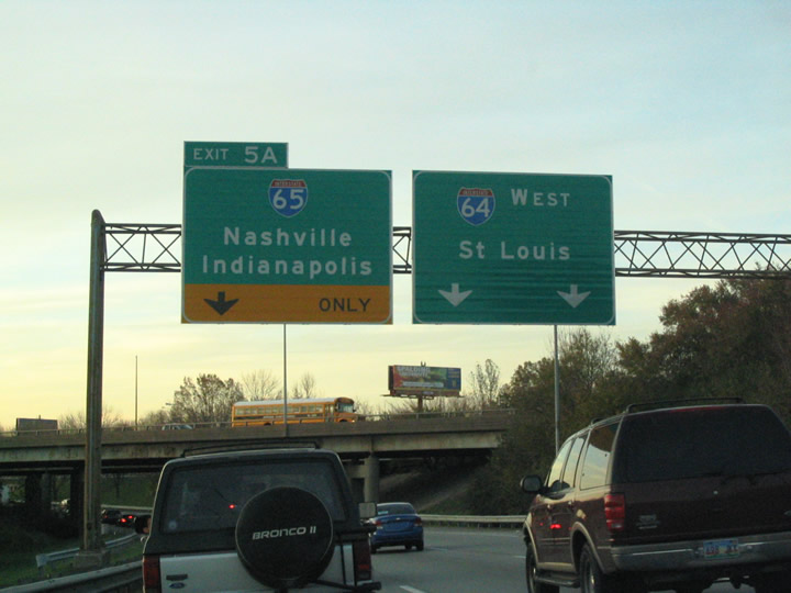
Interstate 71 southbound travelers merge from the right as Exit 5A leaves on the left side of Interstate 64 west. This entire merge and Interstate 64 overall to the Kennedy Interchange is slated for a complete redesign as part of the Ohio River Bridges project. Interstate 64 will be relocated onto a new alignment away from the Ohio River into a brand new interchange with Interstate 65.
11/12/04
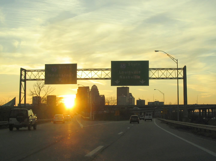
Exit 5A partitions into a directional ramps for Interstate 65 north across the John F. Kennedy Memorial Bridge to Indianapolis and Gary and south to Elizabethtown and Nashville.
11/12/04
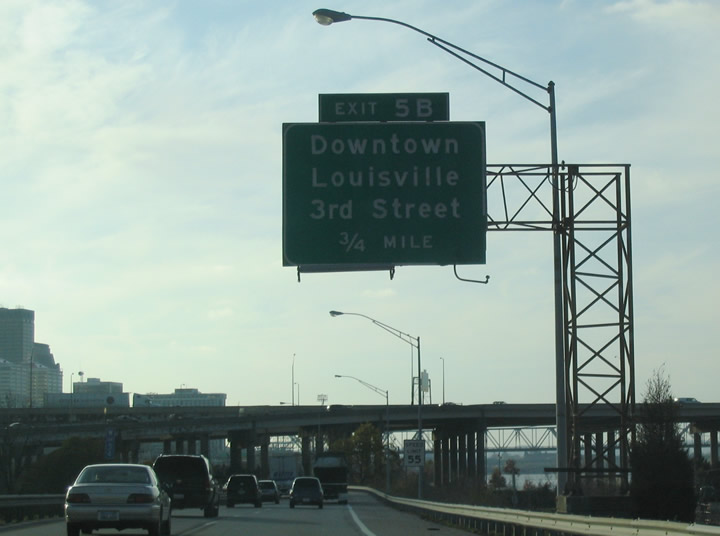
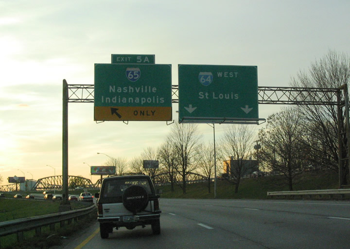
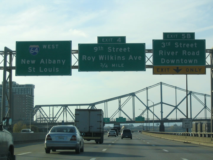
Interstate 64 meanwhile continues west toward the Kennedy Bridge and Exit 5B (3rd Street / Downtown Louisville).
11/12/04
The Riverfront Expressway has always been at least mildly controversial, it opened the same year that New Orleans saw a similar riverfront project get cancelled due to community opposition. The road opened through downtown in stages from 1969 to 1970. Realistically, it was the only place to put an east/west freeway through the central city without bulldozing even more historic structures. Nevertheless, a movement is underway with the 8664 group to tear down the road and return it to a riverfront park status with an at-grade boulevard running through it.
06/04/08
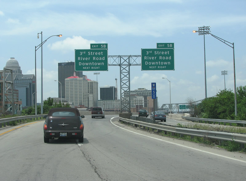
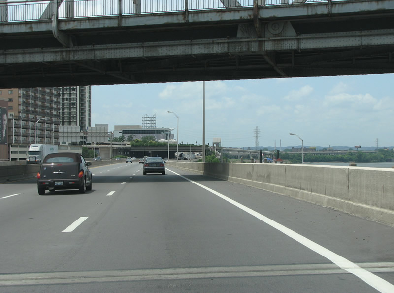
This view looks westbound along I-64 at the main business district exit at 3rd Street.
06/04/08
11/12/04
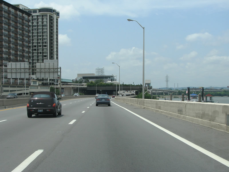
I-64 westbound at 3rd Street. 3rd Street leads south from the river to Fourth Street Live! and KY 1020.
06/04/08
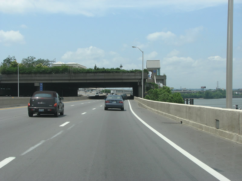
I-64 runs under the George Rogers Clark Memorial Bridge here. The span takes US 31 over the Ohio River into Kentucky. The cantilevered truss bridge has four lanes of traffic and includes pedestrian walkways - it opened in 1929 and was originally tolled. After the bonds used for its construction were paid off, the tolls were removed in 1946
06/04/08
Back in the late 90s, Indiana demanded that a new Ohio River bridge be constructed to connect the two disparate sections of I-265. This would have the effect of routing most east/west through traffic through Indiana. Louisville saw this as a threat to its decades-long struggle to develop the central city area and instead demanded a second span across the river at I-65 and a rebuild of the Kennedy Interchange at I-64 and I-65 downtown. Through several years of negotiations and heated arguments, the compromise was set upon to just build it all. Currently plans call for a rebuilding of the large downtown interchange and construction has already started on the East End bridge at I-265. The 8664 movement largely sprang from all of this brouhaha.
06/04/08
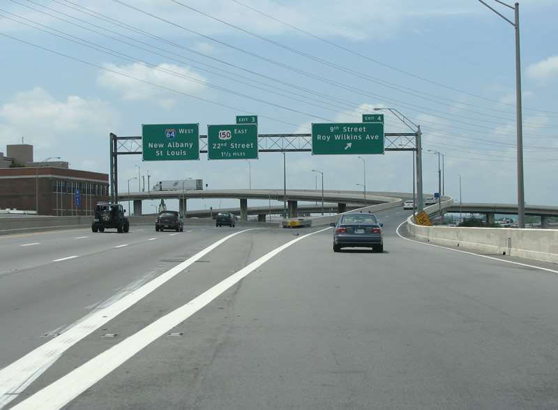
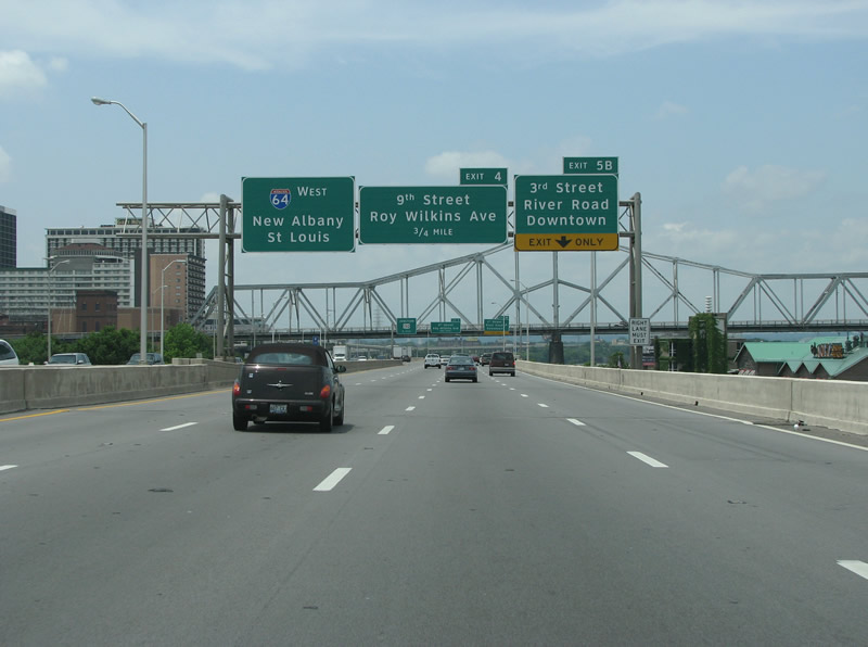
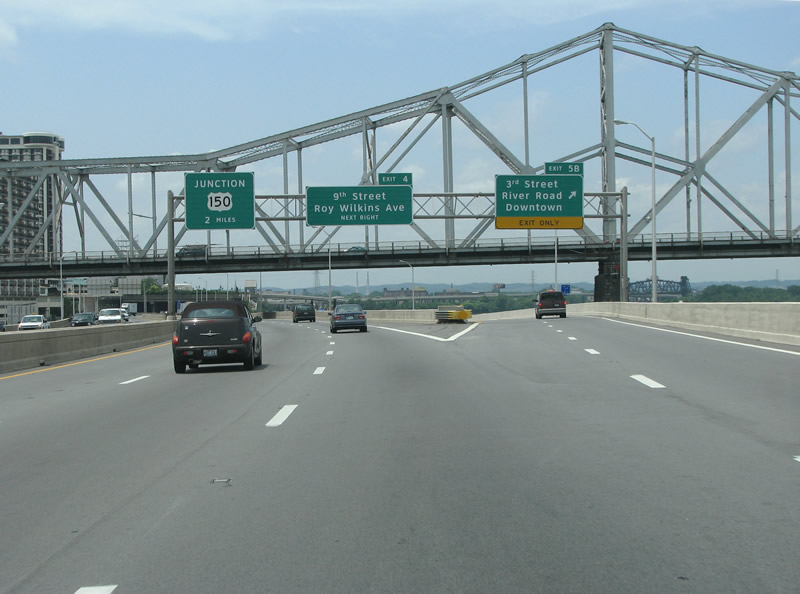
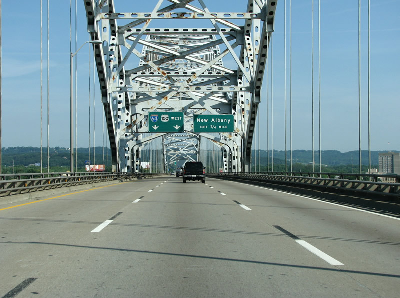
Here, the 9th Street/Roy Wilkins interchange was the last portion of I-64 to be completed through Louisville, it opened in August of 1970. The northern section of 9th Street was named after Roy Wilkins in the early 80s. Wilkins, who died in 1981, was a prominent civil rights activist and president of the NAACP. He was born in St. Louis. The boulevard which carries his name runs south through the prominently black area of Louisville, and has large blocks of public housing to each side of the street.
06/04/08
11/12/04
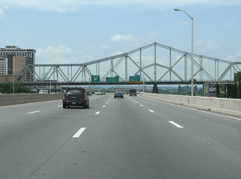
The expressway runs over the south approach to the 14th Street Bridge here, which carries the Louisville and Indiana Railroad over the river. The span is a truss drawbridge that opened in 1868. The first train went over it in 1870 and it is still in daily use today.
06/04/08
11/12/04
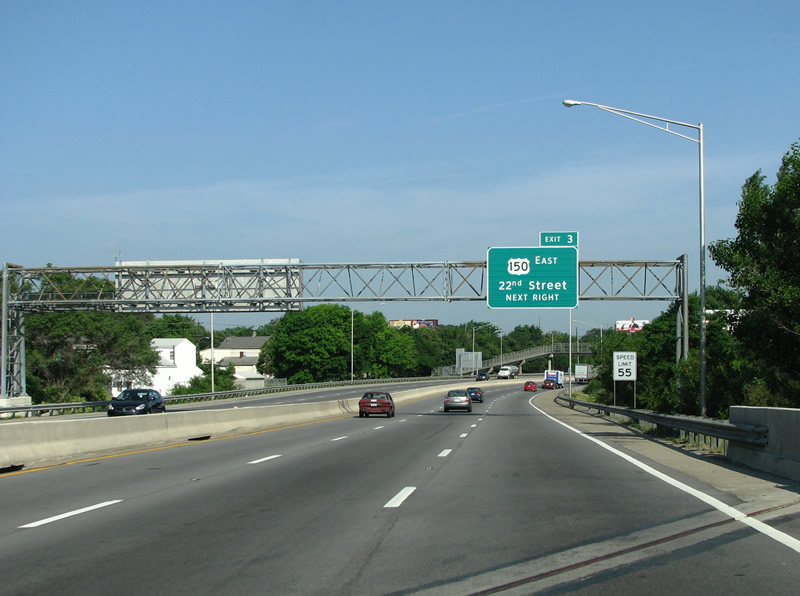
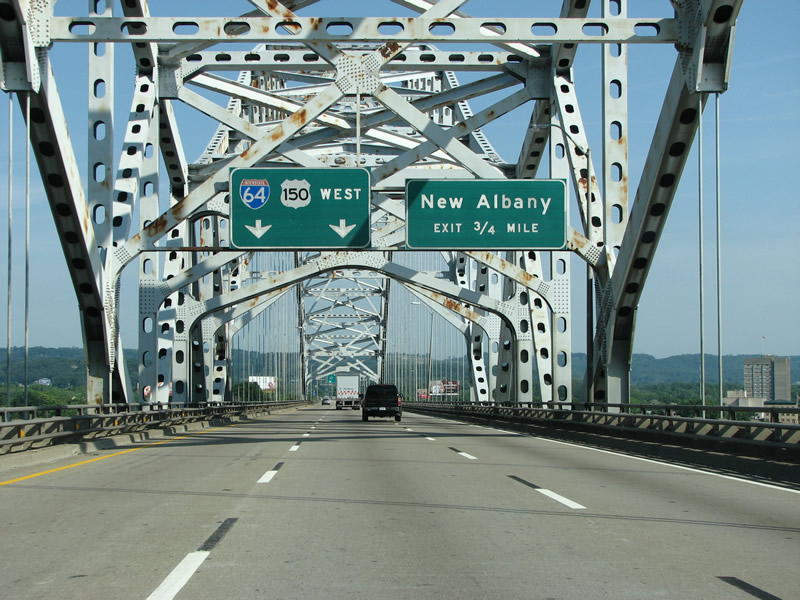
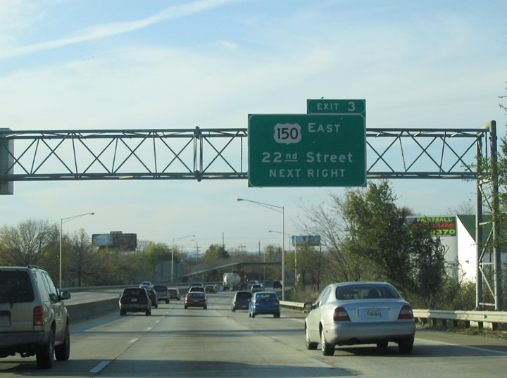
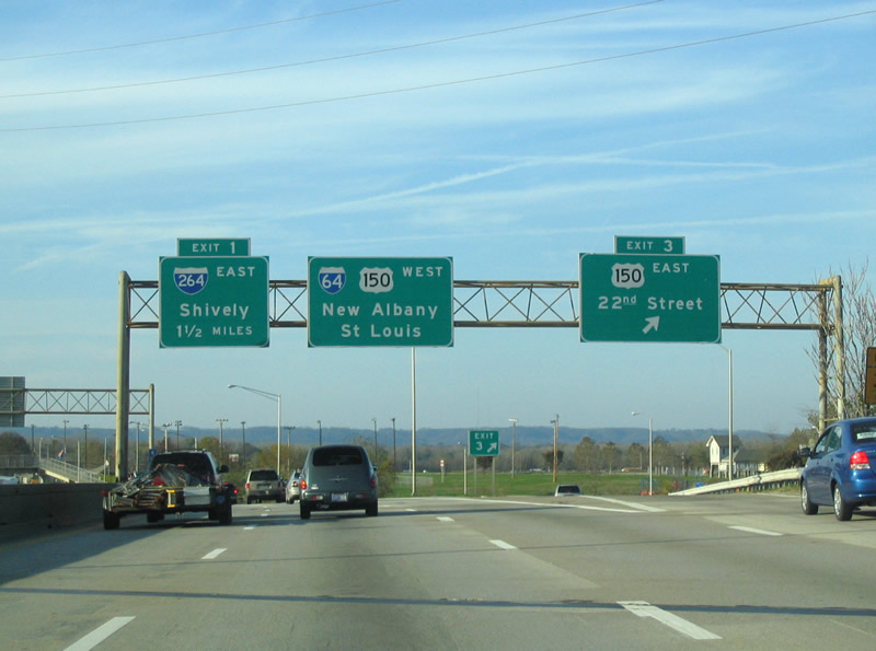
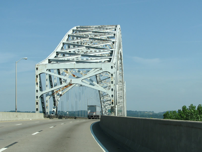
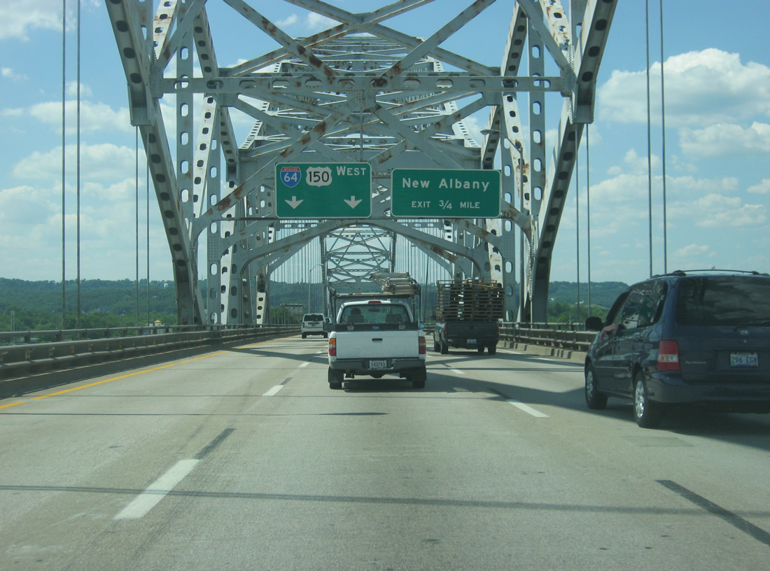
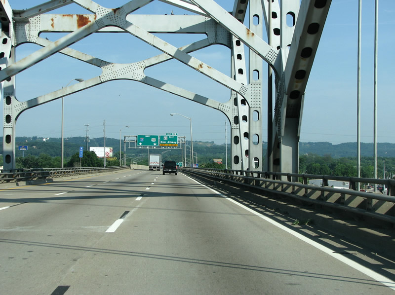
I-64 westbound at US 150. US 150 joins the freeway here for the journey into Indiana.
06/04/08
11/12/04
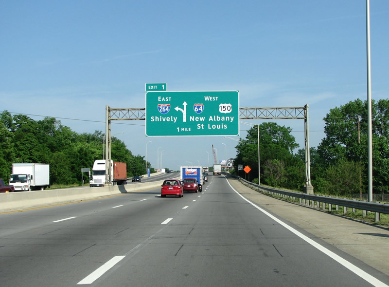
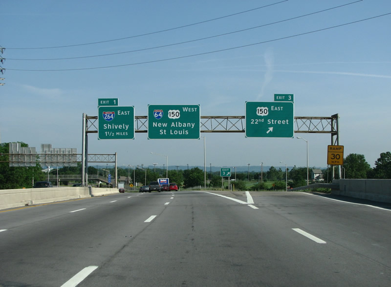
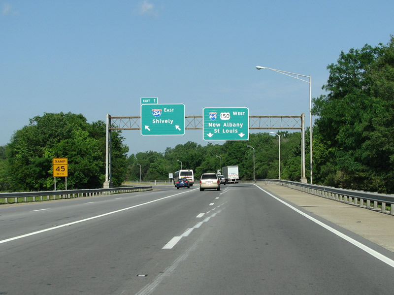
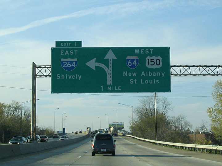
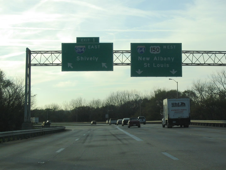
I-264 is the last junction for I-64 in Kentucky, and forms the northern end of the Shawnee Expressway. It continues south and east to form a beltway around Louisville known as the Watterson Expressway.
06/05/08
11/12/04
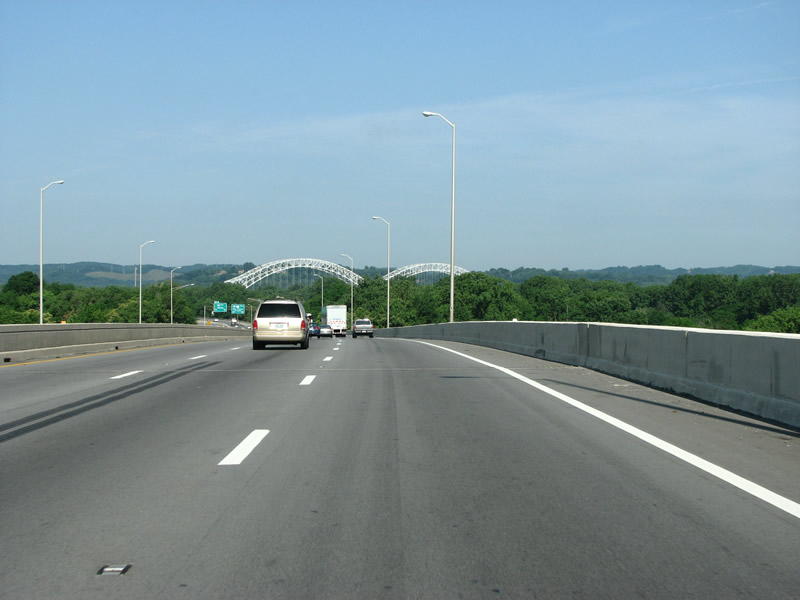
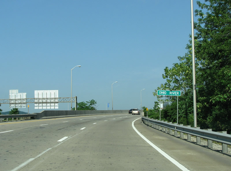
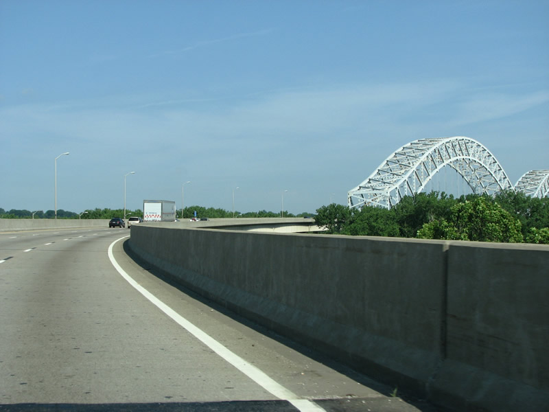
The Minton Bridge over the Ohio River appears through the trees here.
06/05/08
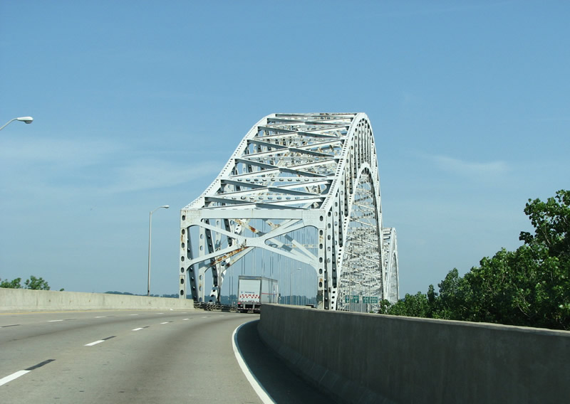
I-64 westbound at I-264. This lightly traveled freeway travels south through some of the poorest parts of Louisville.
06/05/08
11/12/04
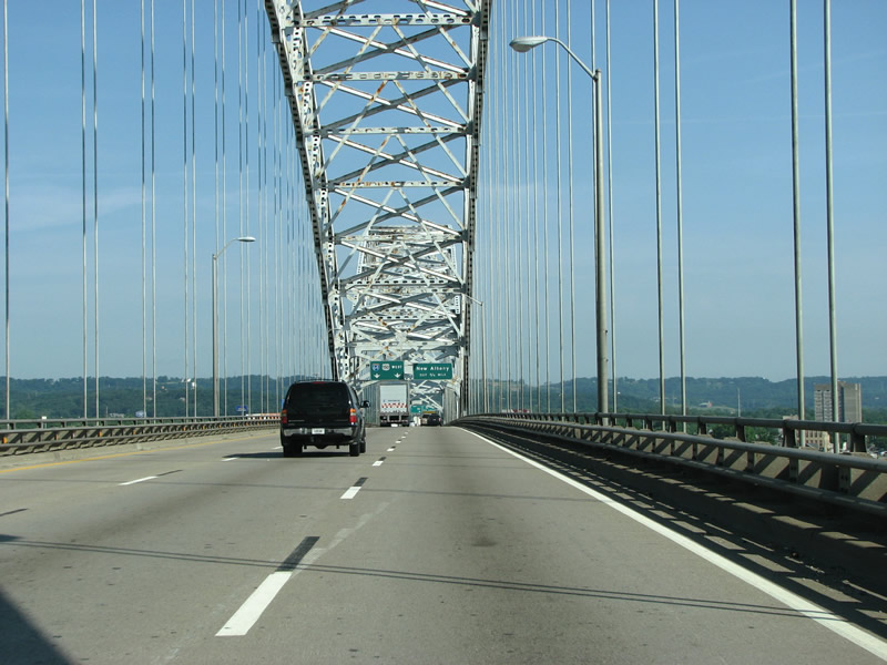
I-64 leaves Kentucky here as it crosses the Ohio River across the Sherman Minton Bridge.
A routine inspection revealed a crack in a critical load bearing element of the cantilever bridge on September 8, 2011. The span was closed the following day and emergency repair worked ensued, with all Interstate 64 through traffic redirected onto a combination of Interstate 65 (Kennedy Bridge) to Interstate 265 at Jeffersonville, Indiana. Repairs continued on the closed bridge until 11:50 PM February 16, 2012, when Hall Contracting completed work. The firm completed the work ahead of the March 1 deadline and received $100,000/day bonuses.1
06/05/08
Opened in 1962,1 the Sherman Minton Bridge was named for a US Supreme Court justice from New Albany, Indiana. Indiana paid for the entire bridge, with Kentucky just paying from its approach to it.
06/05/08
I-64/U.S. 150 enter the city of New Albany from Louisville, Kentucky. The city of 36,372 (2010 census) was founded in 1813 by three brothers from Albany, New York. Forthcoming Exit 123 is the sole ramp to the municipality from I-64 west.
06/05/08
06/07/12
I-64/U.S. 150 formally enter Indiana and Floyd County over the north banks of the Ohio River. The Interstate stretches 123 miles across the Hoosier State.
06/05/08


References:
- "Sherman Minton Bridge Open," WDRB. February 17, 2012.
Photo Credits:
- Carter Buchanan: 11/12/04
- Justin Cozart: 06/04/08, 06/05/08
- Thomas Decker: 06/07/12
Connect with:
Page Updated Sunday February 24, 2013.