
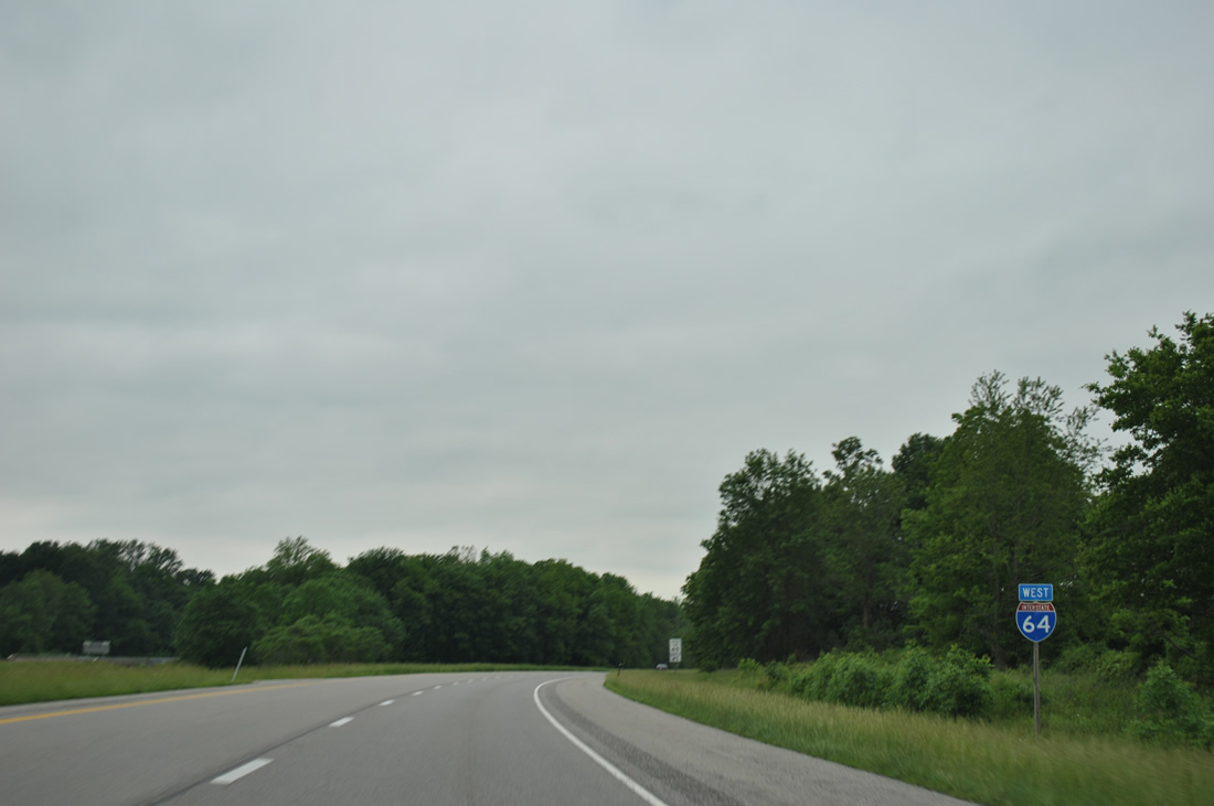
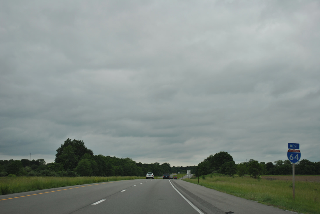
Interstate 64 West - Indiana to Mt. Vernon

 West
West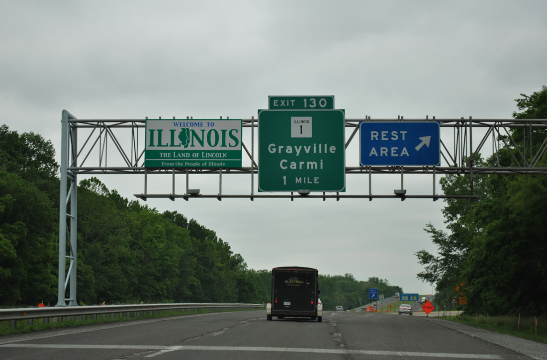
The westbound rest area for Interstate 64 lies on a bluff above Water Street and the Wabash River. There are no tourist information centers in either direction of I-64 in Illinois.
05/27/11
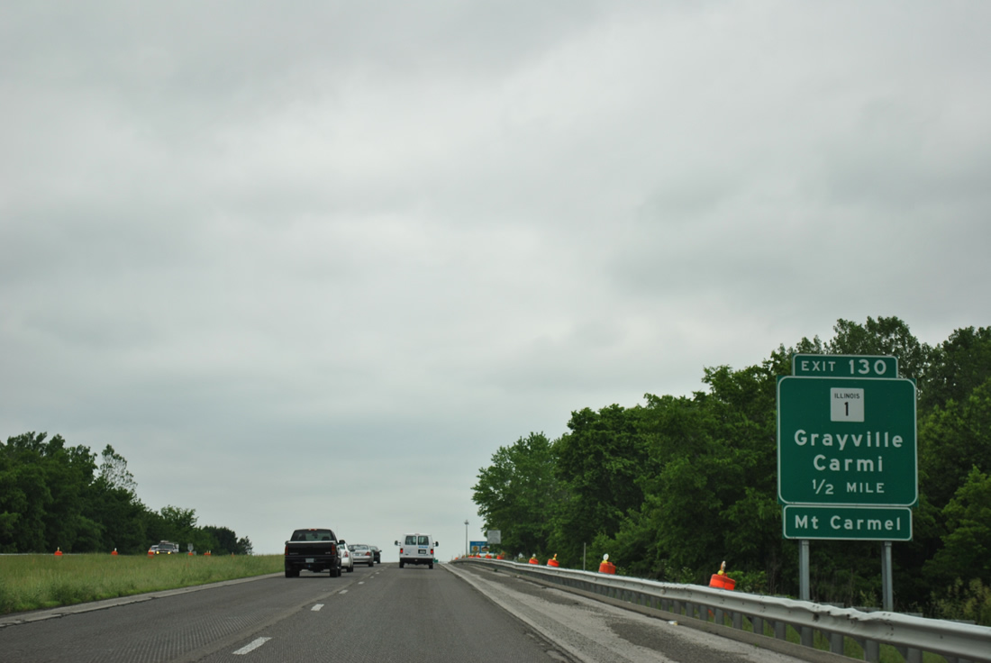
IL 1, a 309 mile route from Cave in Rock on the Ohio River to Chicago, meets Interstate 64 at Exit 130 in one half mile.
05/27/11
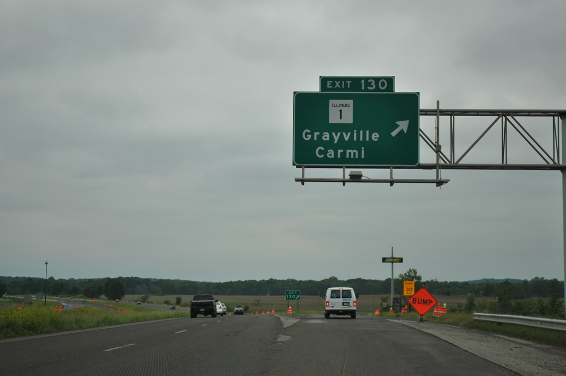
A folded diamond interchange connects Interstate 64 and IL 1 (Court Street) in southern reaches of Grayville. The exchange design accommodated a former Conrail line paralleling IL 1.
05/27/11
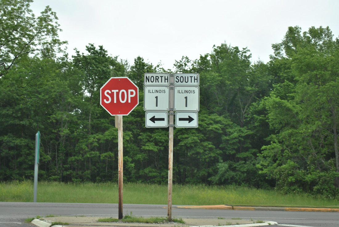
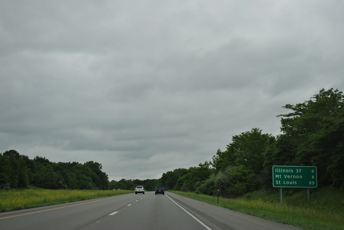
Downtown Grayville is 1.6 miles to the north of Exit 130, with IL 1 continuing northeast 14 miles to the Wabash County seat of Mt. Carmel. Carmi, the seat of White County, is 14 miles to the southwest along the IL 1 overlap with IL 14 (former U.S. 460).
05/27/11
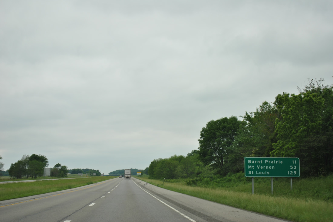
Interstate 64 curves more to the west on the 11 miles to Burnt Prairie in northern White County. St. Louis is just over a two hour drive away.
05/27/11
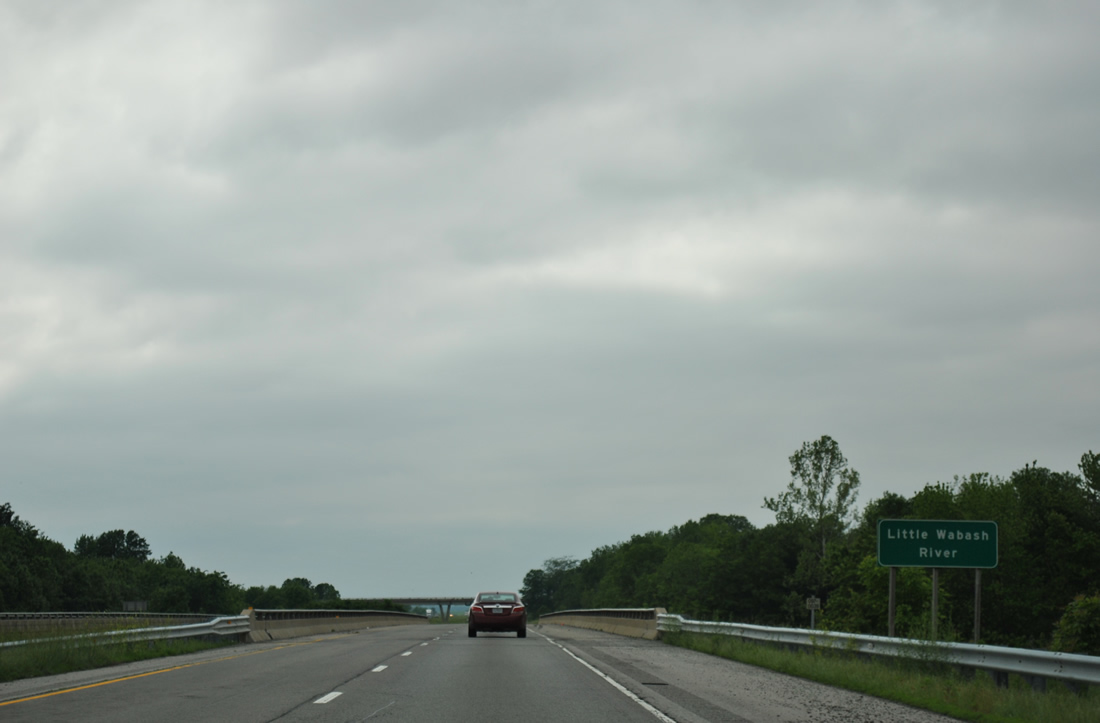
Spanning the Little Wabash River midway between Grayville and Exit 117 near Burnt Prairie. A 240 mile long waterway, Little Wabash River originates near Mattoon, in eastern Illinois, and flows southward into the Wabash River at New Haven.
05/27/11
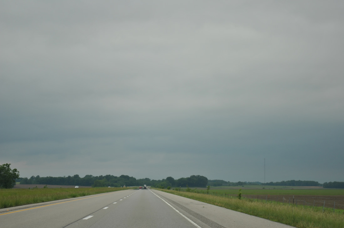
Traversing areas of farm land, Interstate 64 passes by County Road 1200 East and shifts northwest after Randolph Drainage Ditch onto low rise hills east of Burnt Prairie.
05/27/11
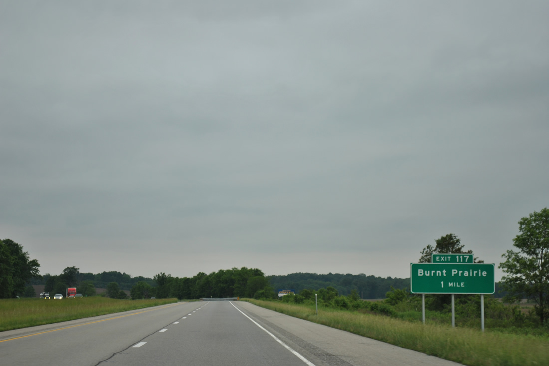
White County Route 20 meets Interstate 64 at a diamond interchange (Exit 117) in one mile.
05/27/11
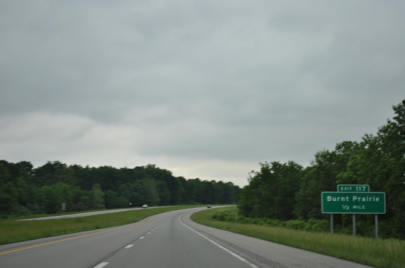
Burnt Prairie is a village with less than 100 people located 1.7 miles west of Exit 117 along County Route 20 (Main Street).
05/27/11
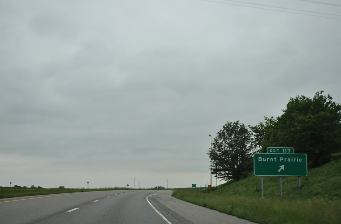
County Route 20 continues west from Burnt Prairie to U.S. 45 in Mill Shoals and east from Exit 117 back to Grayville.
05/27/11
Interstate 64 reassurance marker posted where the freeway roadways separate beside the waters of Freds Creek.
05/27/11
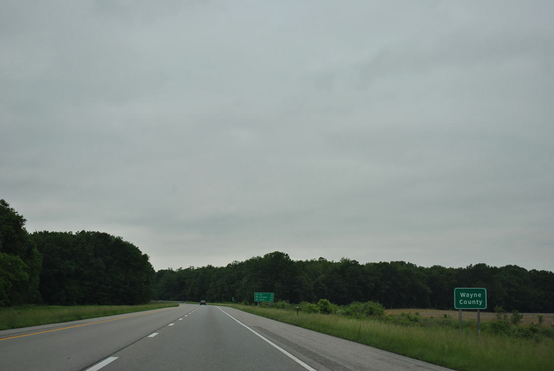
The northerly jog of Interstate 64 by Burnt Prairie takes the freeway into southern Wayne County.
05/27/11
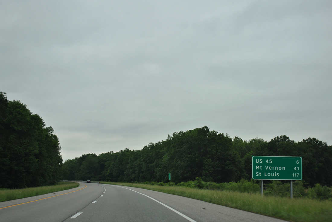
U.S. 45 meets I-64 in six miles at the first of two exits in Wayne County. Mt. Vernon is 41 miles to the west.
05/27/11
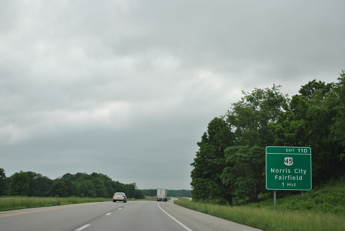
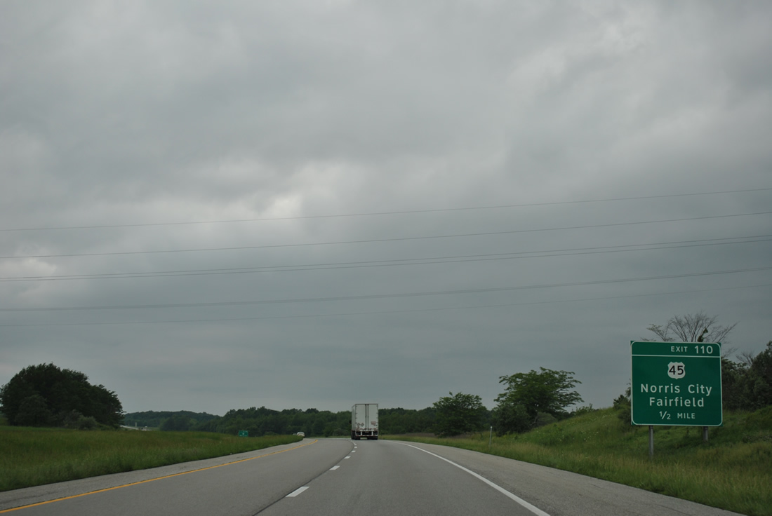
Joining the Wayne County seat of Fairfield with Norris City to the south, U.S. 45 meets I-64 at a diamond interchange (Exit 110) in one mile.
05/27/11
Interstate 64 and U.S. 45 come together on the outskirts of Mill Shoals, a village of around 250. U.S. 45 travels 1,297 miles from Mobile, Alabama northward to Ontonagon, Michigan. Within Illinois, U.S. 45 runs 408 miles from the Ohio River at Brookport north to Wisconsin near Antioch.
05/27/11
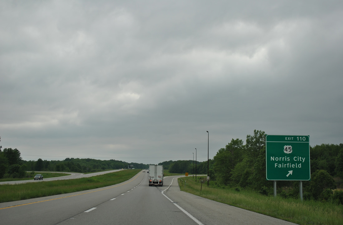
Exit 110 leaves Interstate 64 west for U.S. 45. U.S. 45 navigates along a rural course northward to Effingham, where it parallels the I-57 corridor north to Kankakee. Southward U.S. 45 leads to Harrisburg and I-24 at Vienna.
05/27/11

Another long exit less stretch ensues along I-64 westbound from near Mill Shoals to IL 242.
05/27/11
There are only two more exits along I-64 west until the overlap with I-57 north to Mount Vernon.
05/27/11

Spanning the Skillet Fork Drainage Canal along Interstate 64 west. The canal channelizes lower reaches of the 98 mile long river through Wayne and White Counties.
05/27/11
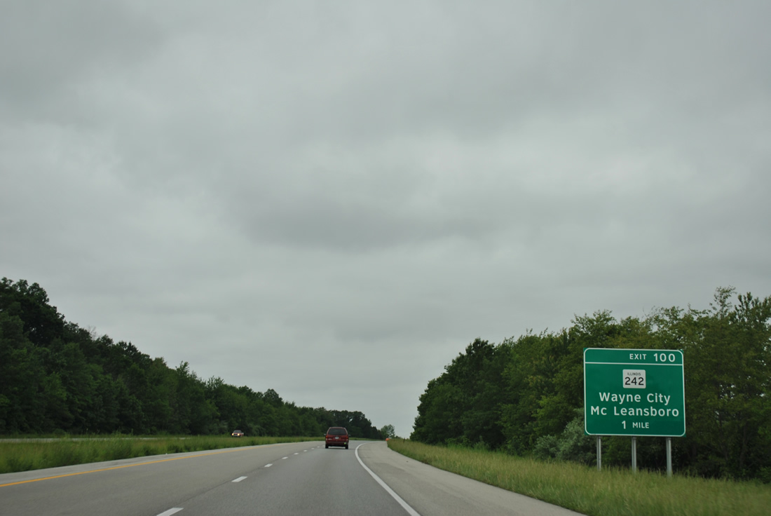
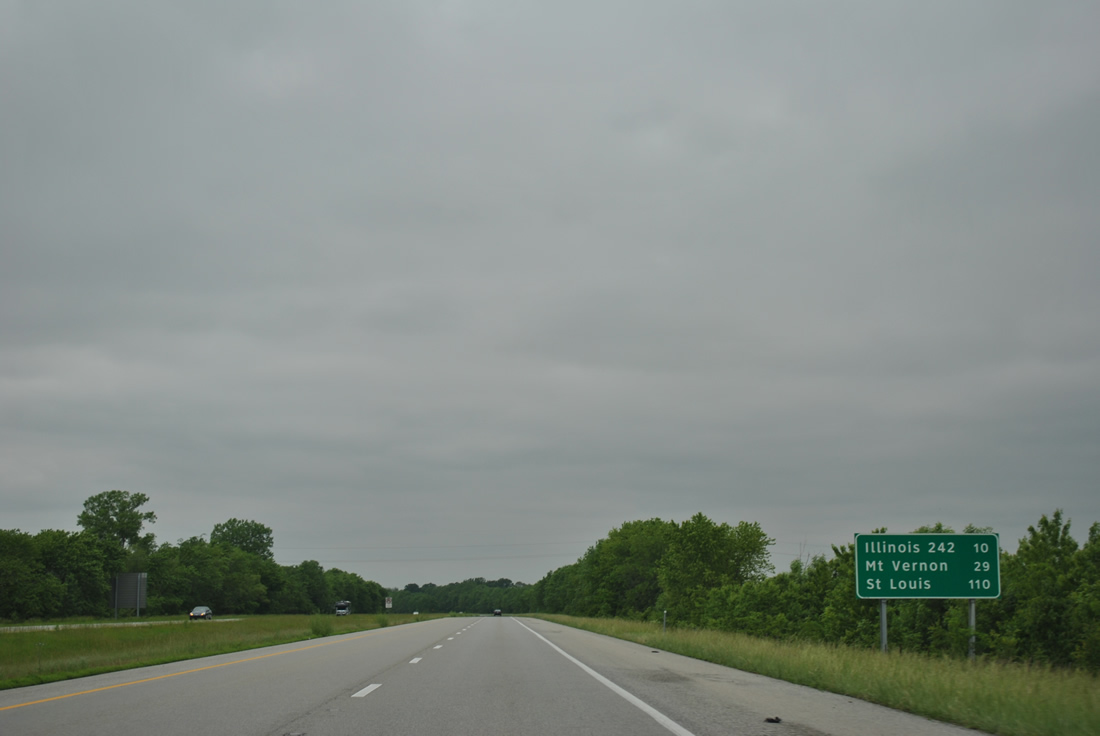
Interstate 64 continues west paralleling the White / Hamilton County line to a diamond interchange (Exit 100) with IL 242.
05/27/11
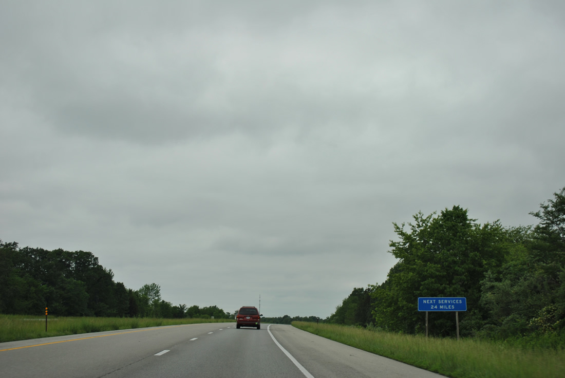
A testament to the emptiness of agricultural Illinois along Interstate 64 is this sign which advises motorists of the lack of services between Exit 100 and Mt. Vernon.
05/27/11
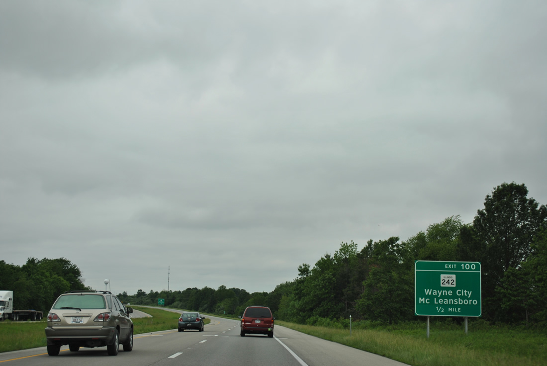
IL 242 travels 19 miles south from IL 15 at Wayne City to IL 142 at McLeansboro.
05/27/11

Westbound at Exit 100 to IL 242. Wayne City is seven miles to the northwest.
05/27/11

McLeansboro is 12 miles south of Exit 100. The town of Belle Prairie City (population 60 as of the 2000 census) lies nearby.
05/27/11

Interstate 64 leaves Wayne County for Jefferson County on the 11 miles from near Smithville to Exit 89.
05/27/11

Exit 89 joins the freeway with Brehm Lane (County Road 17) south to IL 142 at Belle Rive, a village of nearly 400.
05/27/11

County Route 17 head north from the parclo interchange at Exit 89 to become Main Street in the village of Bluford. The road ends at IL 15 north of Bluford.
05/27/11

A loop ramp departs Interstate 64 west at Exit 89. IL 142, which crosses I-64 without access en route to Mt. Vernon, southward represents the historic route of U.S. 460. U.S. 460 was truncated in 1977 east from St. Louis, Missouri to Frankfort, Kentucky.
05/27/11
Interstate 64 winds west from Exit 80 and crosses Auxier Creek after this reassurance marker.
05/27/11
The first of three Mt. Vernon exits lies eight miles ahead with IL 37 near Bakerville. Mt. Vernon's city limits nearby reach Interstate 64, but downtown is another three miles to the north.
05/27/11
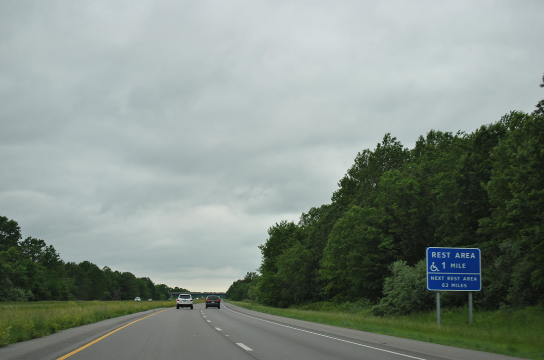
The second of three rest areas along Interstate 64 west in Illinois follows in one mile.
05/27/11
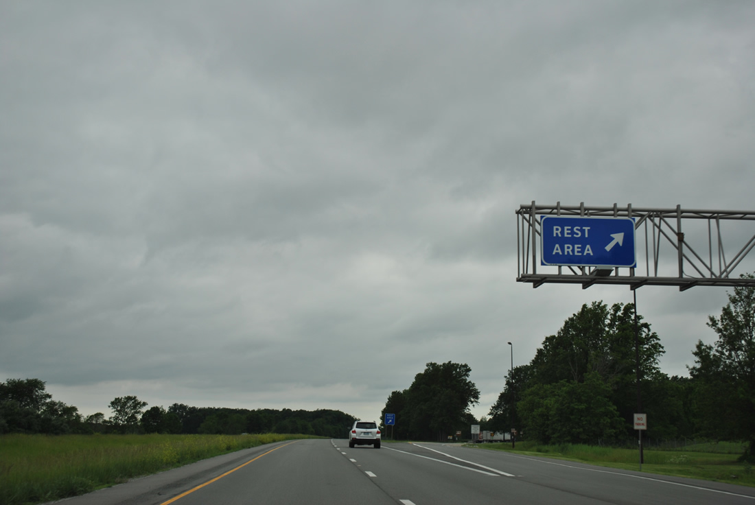
The Jefferson County rest area on I-64 lies north of the community of Opdyke along IL 142.
05/27/11
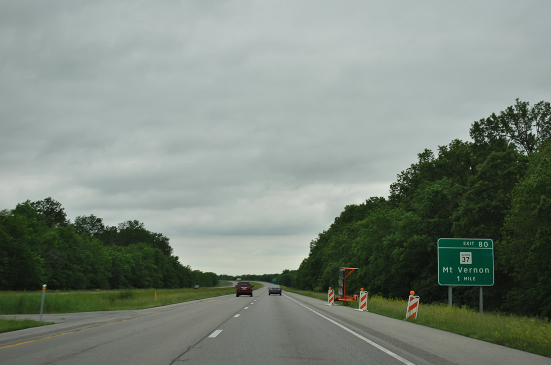
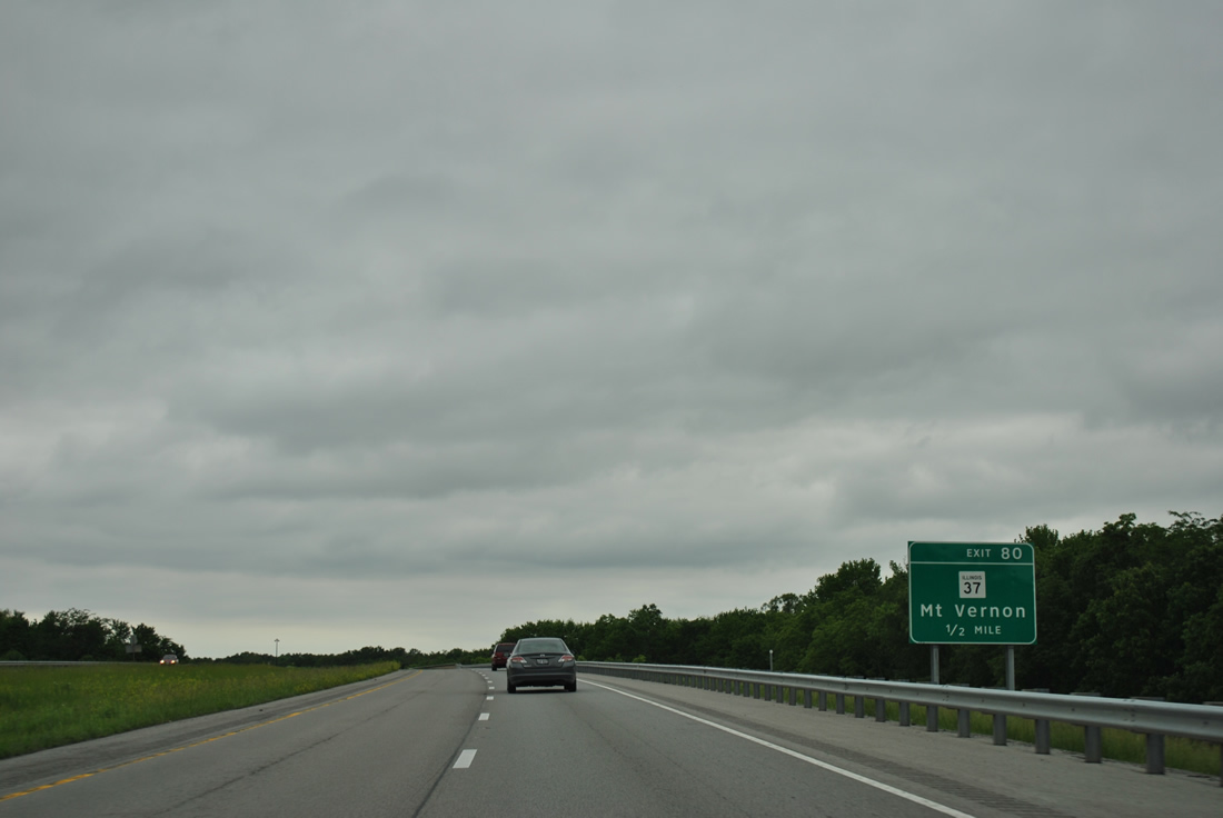
West of IL 142 (old U.S. 460), Interstate 64 progresses one mile to a diamond interchange (Exit 80) with IL 37 (10th Street / Benton Road).
05/27/11
IL 37 stretches 165 miles north from Urbandale to Effingham. The state route was vastly replaced by Interstate 57 as the main route through southern Illinois.
05/27/11
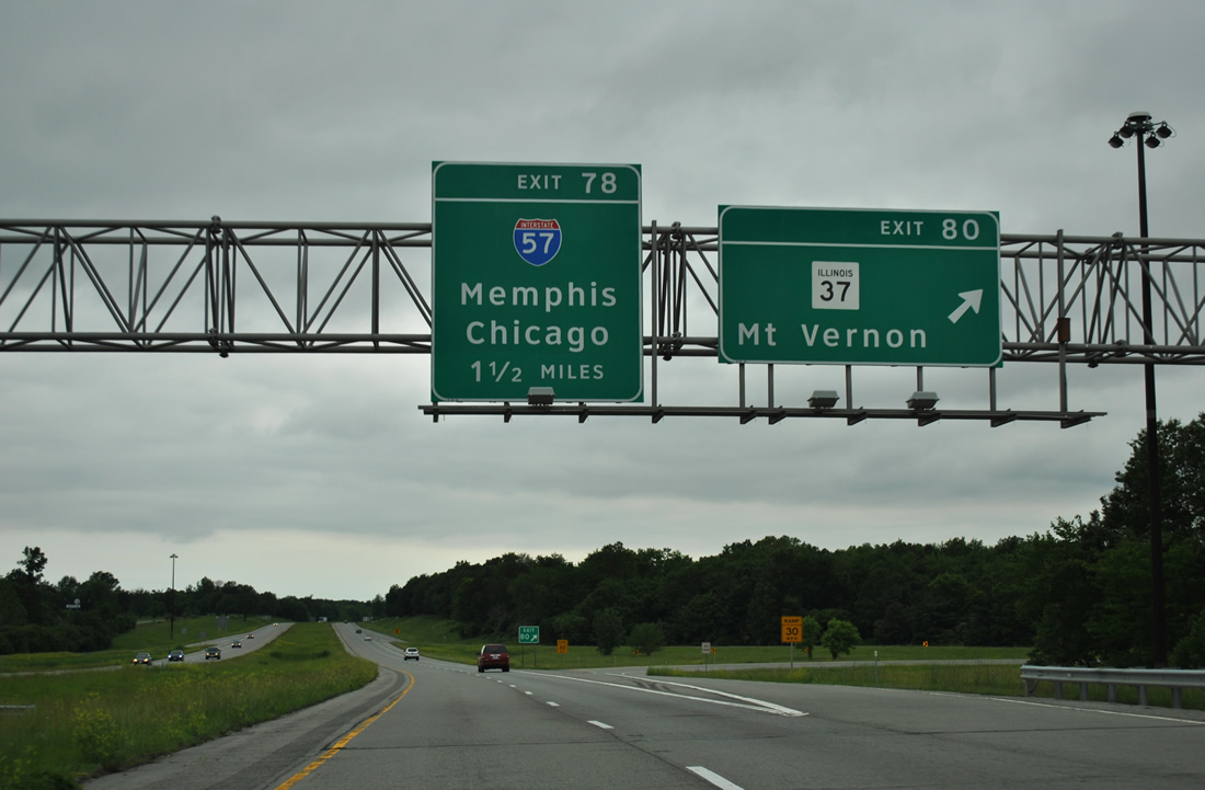
Exit 80 leaves Interstate 64, 1.5 miles ahead of the exchange (Exit 78) where I-57 north combines with I-64. IL 37 follows 10th Street north throughout Mount Vernon. Southward the state route provides an alternate to I-57 through Bonnie, Ina and Benton.
05/27/11

A three-wye interchange joins I-64 west with Interstate 57 on the rural outskirts of Mount Vernon. I-57 travels 114 miles south to cross the Mississippi River en route to Sikeston, Missouri as part of a longer route to Memphis via I-55.
05/27/11

I-64 overlaps with I-55 for 4.14 miles through the west side of Mount Vernon. I-57 reaches Marion in 38 miles and the beginning of Interstate 24 in 48 miles.
05/27/11


Photo Credits:
- ABRoads: 05/27/11
Connect with:
Page Updated Saturday March 24, 2012.