
Business Loop I-69 - Port Huron

Business Loop I-69 forms a backwards L-shaped route 6.11 miles1 from Exit 199 of I-69 east to I-69/94 at Exit 275 and the west end of the Blue Water Bridge in Port Huron. The route branches southward from the west split of I-69/94 along an expressway connector linking the freeways with the couplet of Griswold / Oak Streets through the Port Huron residential street grid. Griswold (west) and Oak (east) Streets carry Business Loop I-69 to Military Street and an overlap with Business Loop I-94 north into Downtown. Business Loop I-69/94 follow a combination of Military Street, Huron Avenue and Pine Grove Avenue north to an expressway connector from I-69/94 to Pine Grove Avenue (M-25), north of Hancock and Garfield Streets.
M-21 followed Oak and Griswold Streets east to M-25 (Military Street) originally. When Interstate 69 was designated between Flint and Port Huron in 1984, the non-freeway portion of M-21 along these streets was redesignated as Business Spur I-69. The spur was changed to Business Loop I-69 by 1987 when M-25 was truncated northward and replaced with Business Loop I-94 through both Port Huron and Marysville.1

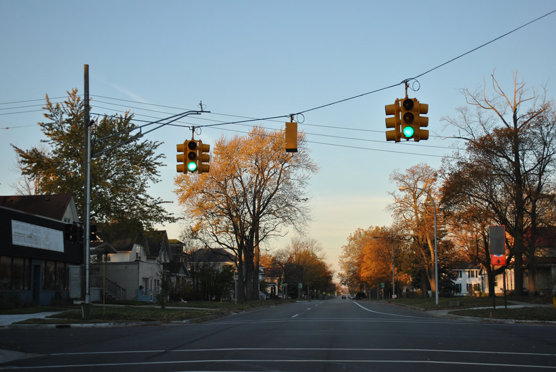
 East
East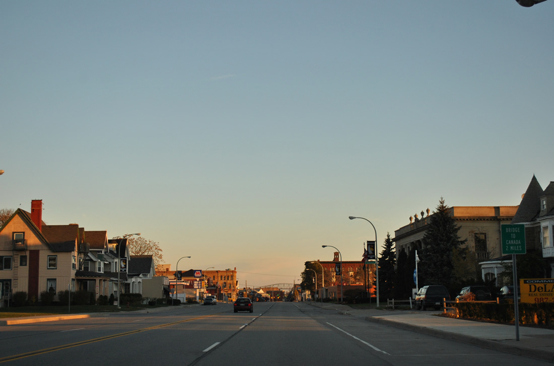
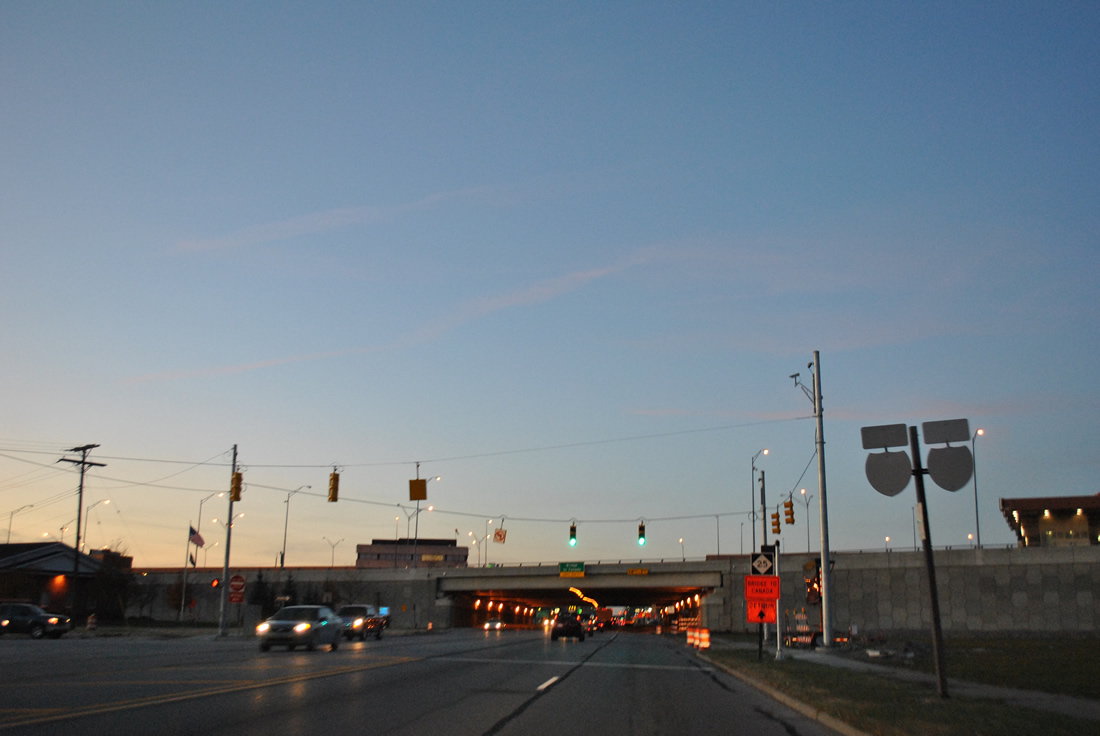
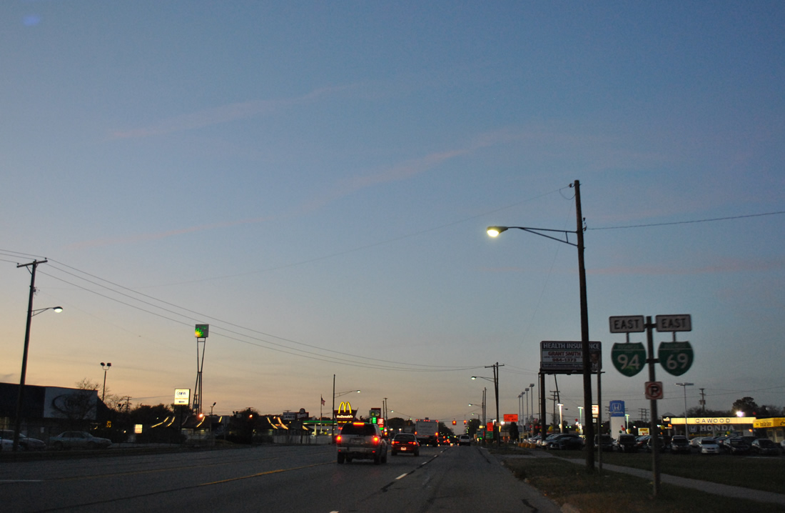
A small sign directs motorists along Business Loop I-69/94 (Military Street) northward two miles for the Blue Water Bridge east into Canada.
11/06/11
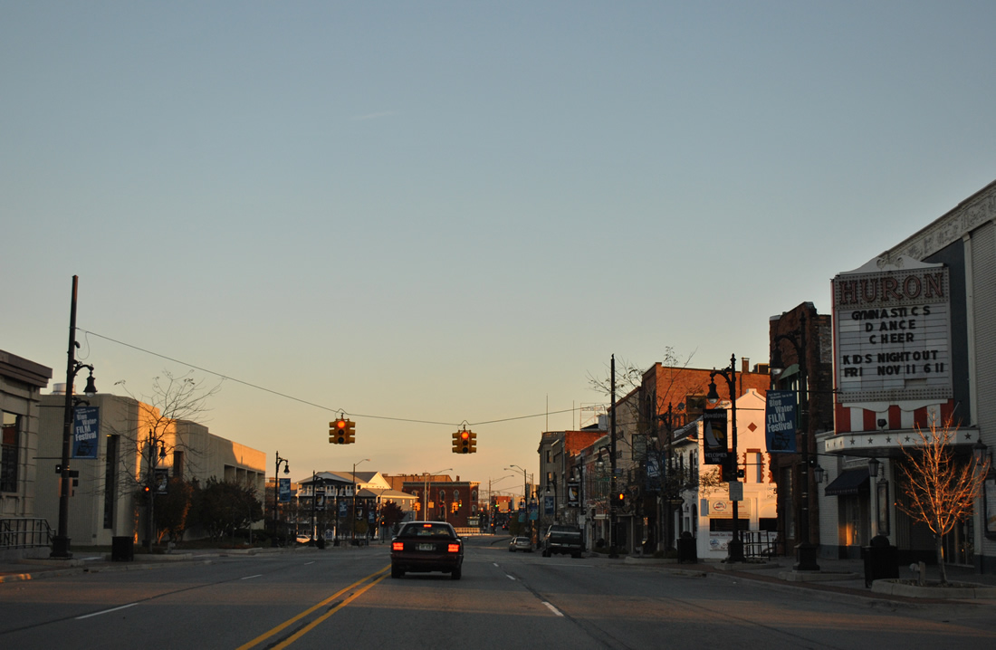
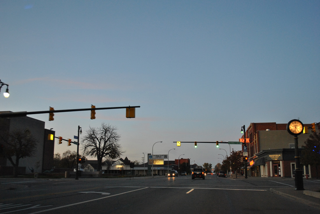
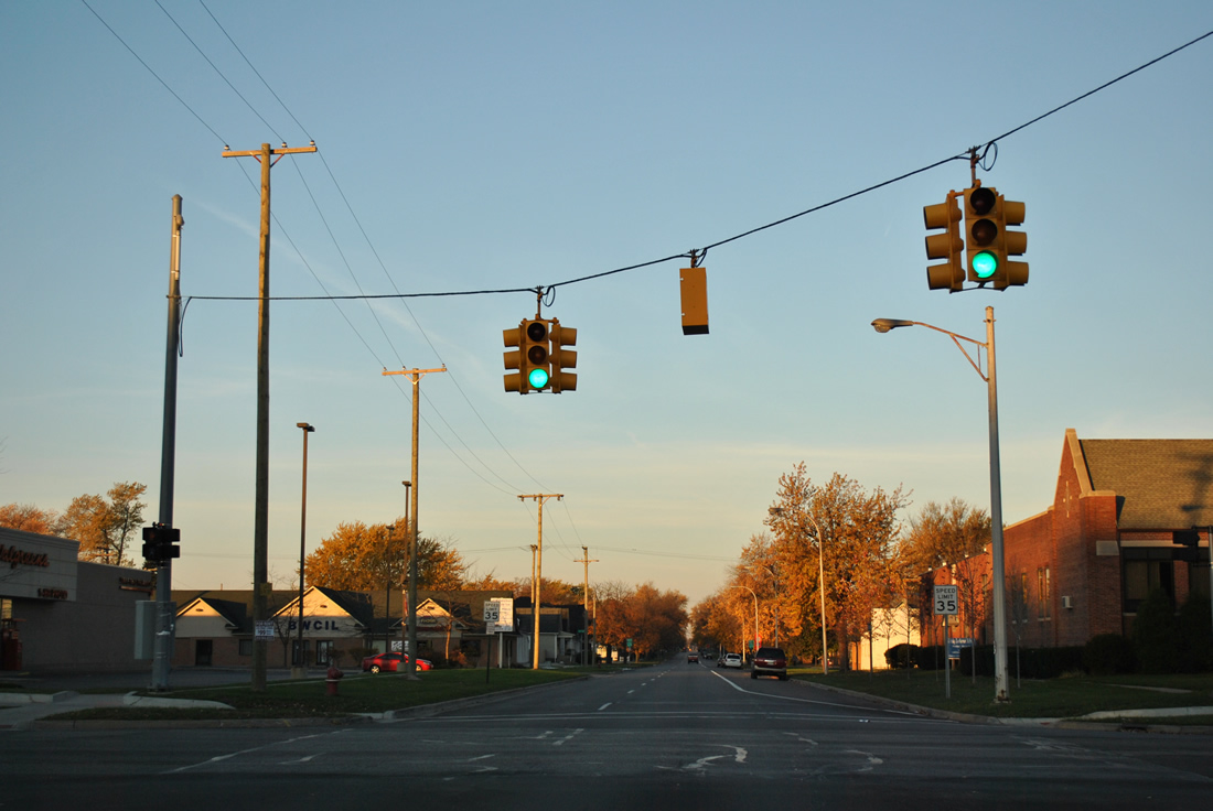
Military Street north at Pine Street in the Port Huron business district.
11/06/11
Military Street kinks eastward from Water Street to span the Black River.
11/06/11
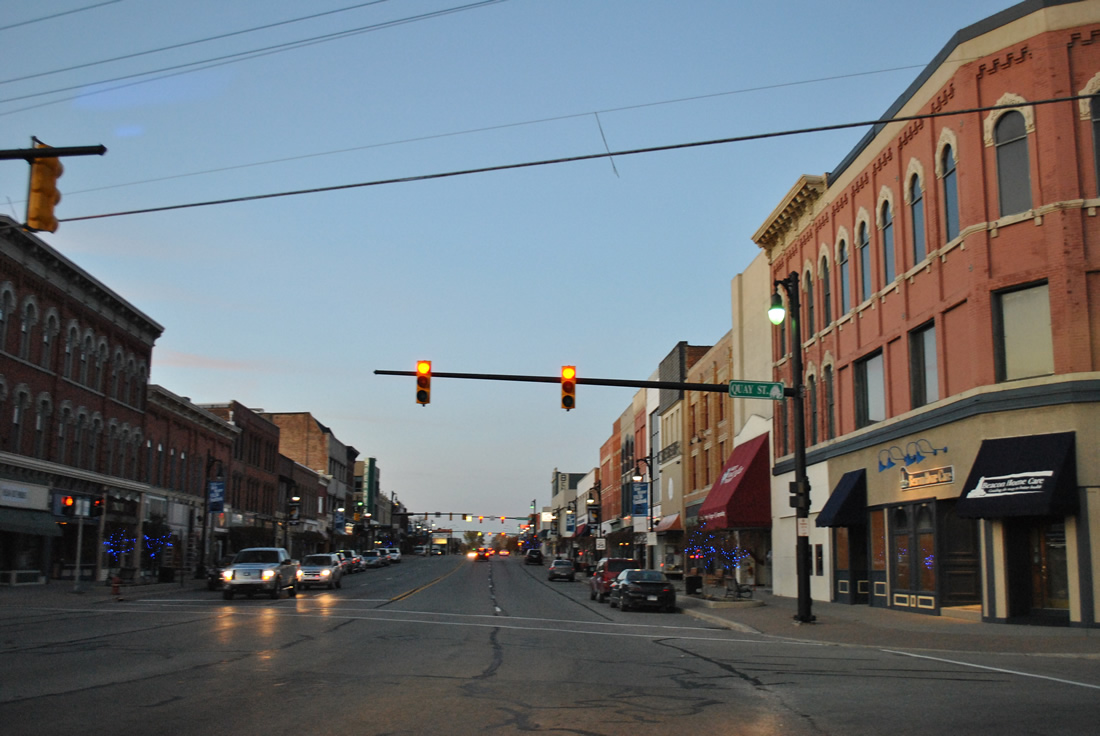
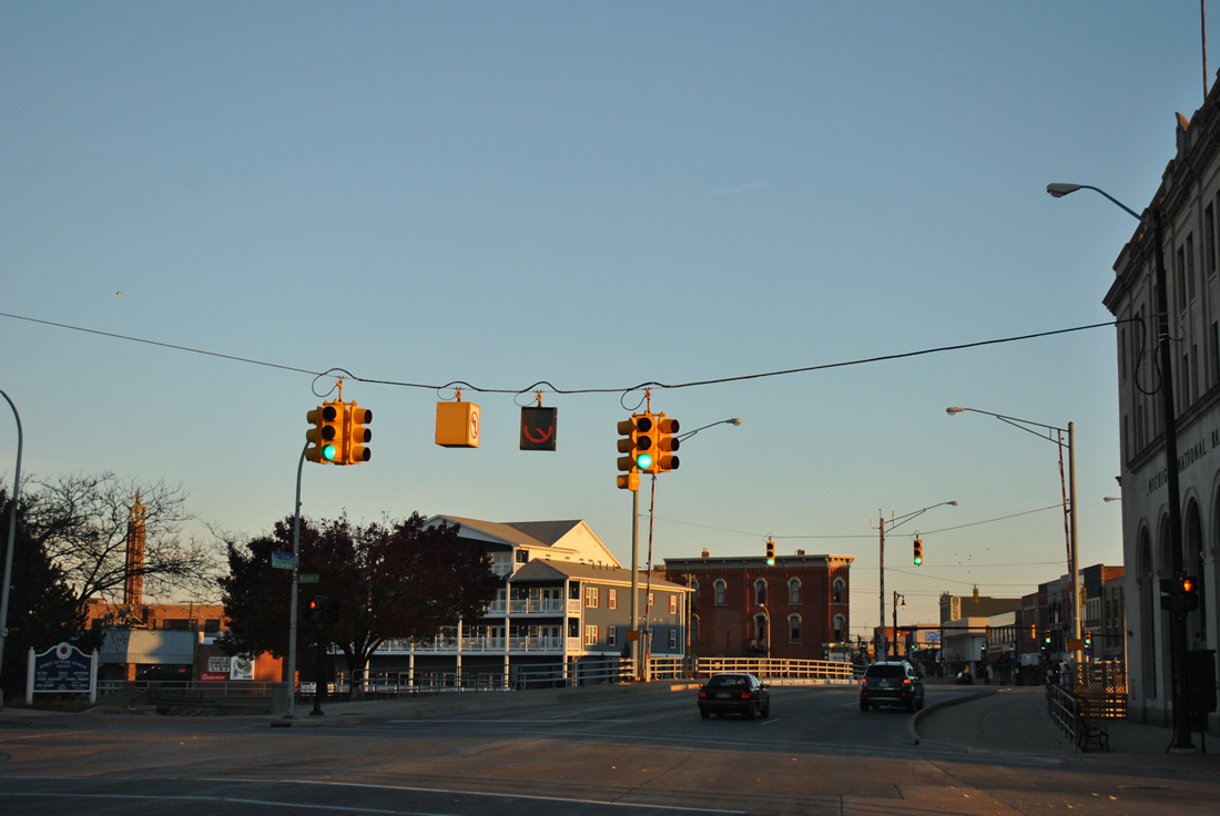
Quay Street intersects Business Loop I-69/94 east immediately north of the Black River.
11/05/11
McMorran Boulevard links Business Loop I-69/94 east with Keifer Park along the St. Clair River and St. Clair Community College to the west.
11/05/11
Heading northwest, Pine Grove Avenue passes by Port Huron Hospital to the west and Pine Grove Park to the east between Kearney Street and Prospect Place.
11/05/11
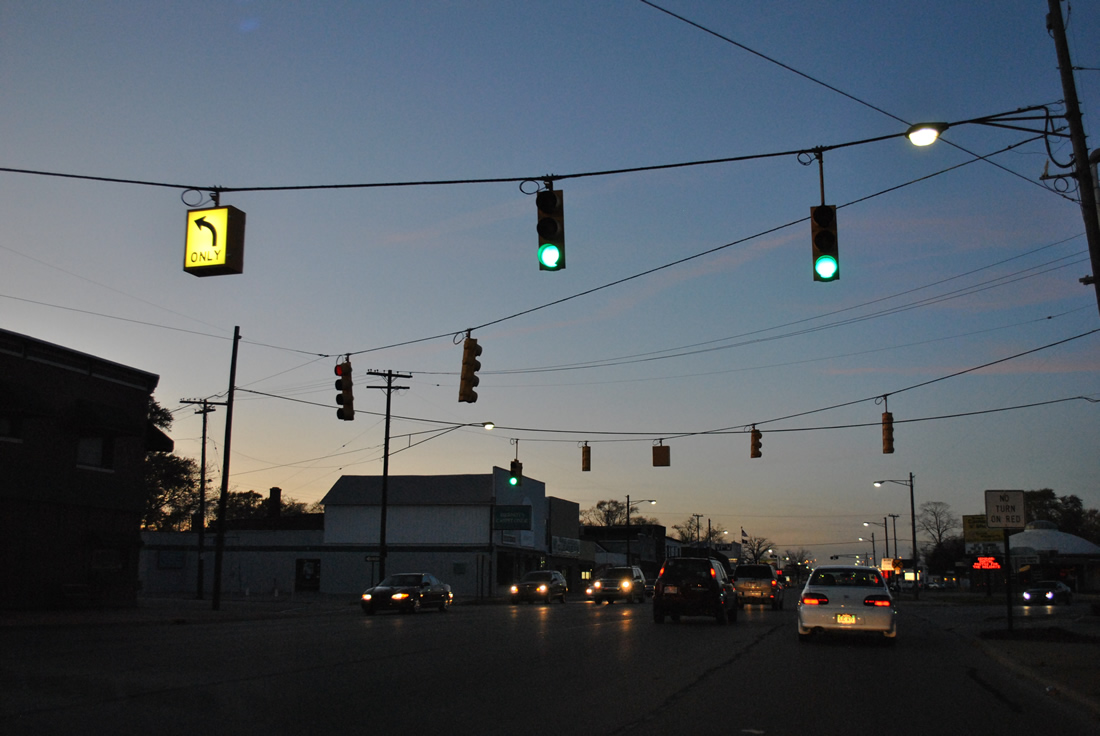
A five-way intersection with Thomas Street west and north-south Stone Street follows.
11/05/11
A set of weathered reassurance markers for Business Loop I-69/94 east precede the new eastbound off-ramp from I-69/94 to Pine Grove Avenue (former M-25).
11/05/11
Although already beyond the return point for I-69/94 east, Business Loop I-69/94 east continue a short distance to Hancock Street west.
11/05/11
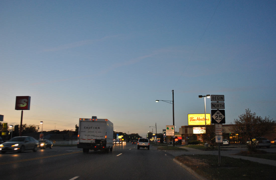
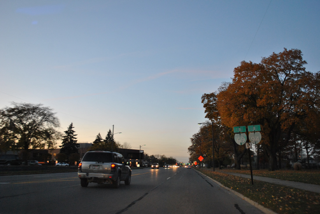
M-25 takes over for Business Loop I-69/94 along Pine Grove Avenue north toward Lexington along the Lake Huron shoreline.
11/05/11
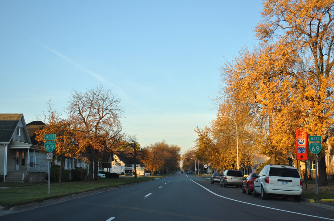
West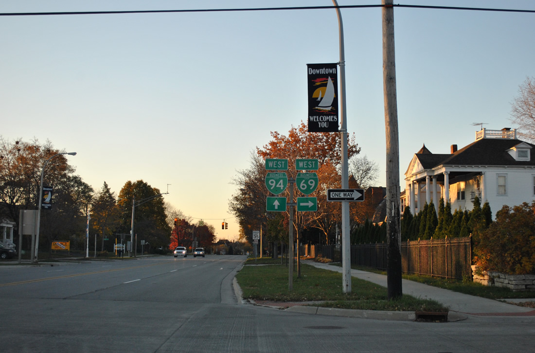
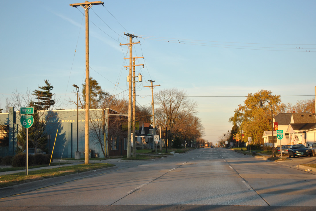
The 2.8 mile overlap between Business Loop 69/94 west from Pine Grove Avenue near Garfield Street concludes at Griswold Street. Griswold Street carries Business Loop I-69 west, one block north of eastbound along Oak Street.
11/06/11
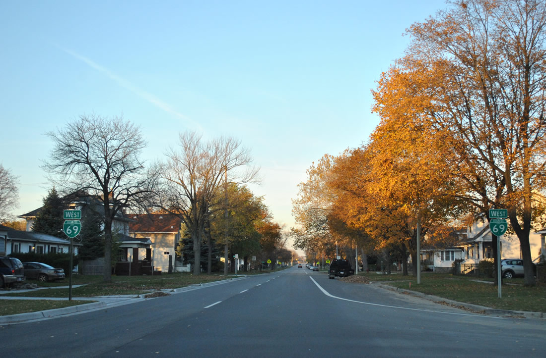
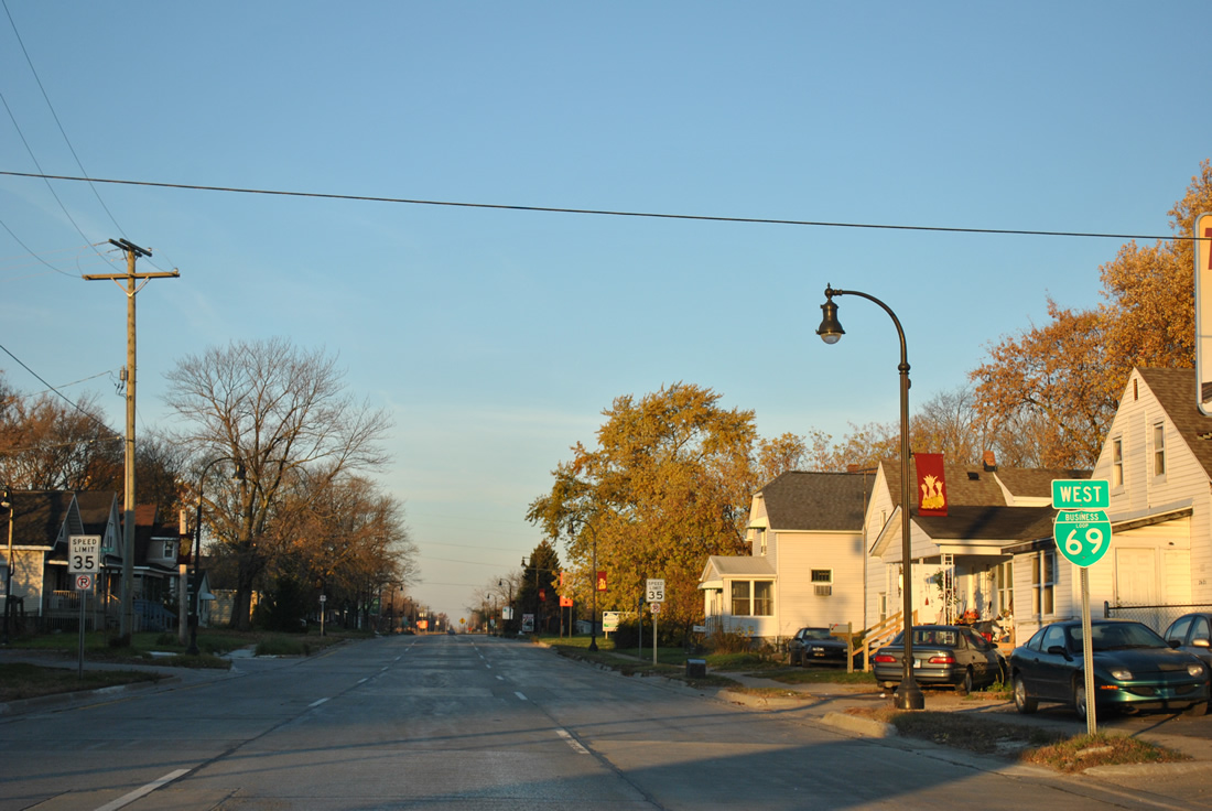
West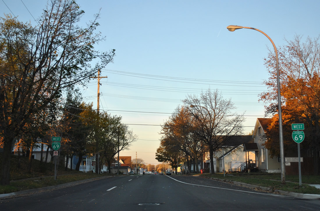
A pair of shields for Business Loop I-69 stand at the Griswold Street intersection with 6th Street, one block removed from Business Loop I-94.
11/06/11
10th Street constitutes a north-south through street between Business Loop I-94 by St. Joseph Mercy Hospital and the Black River bridge near Haynes Park.
11/06/11
Westbound Business Loop I-69 (Griswold Street) at 11th Street.
11/06/11
16th Street heads south from Business Loop I-69 to a large industrial park south of the Canadian National Railroad and Business Loop I-94 (Electric Avenue / Military Street).
11/06/11
Signage for Business Loop I-69 west remains consistent with another pair of shields posted at 17th Street.
11/06/11
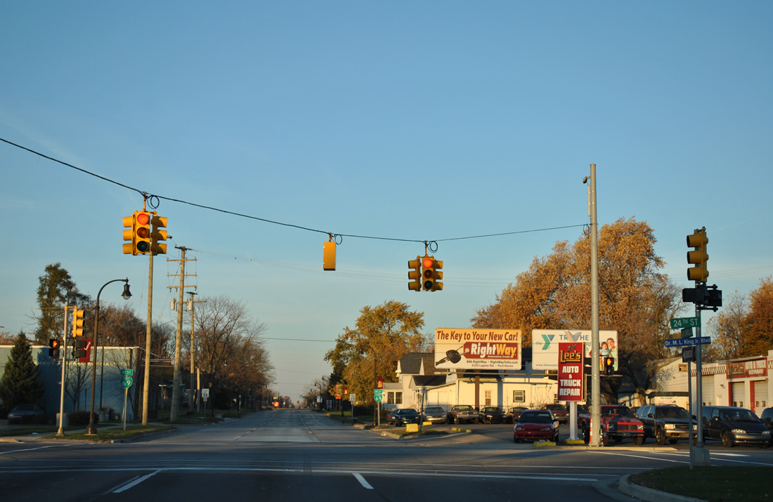
24th Street is the last street crossing the CN Railroad line to south Port Huron from Business Loop I-69 (Griswold Street). The arterial street continues north to Memorial Park, a number of shopping centers and Lapeer Road near the Lapeer Connector to I-69/94.
11/06/11
Four blocks of the Griswold and Oak Street couplet remain as Business Loop I-69 prepares to leave the Port Huron street grid for an expressway connector to the west split of I-69/94.
11/06/11
The final reassurance marker for Business Spur I-69 precedes the split with Griswold Street west.
11/06/11
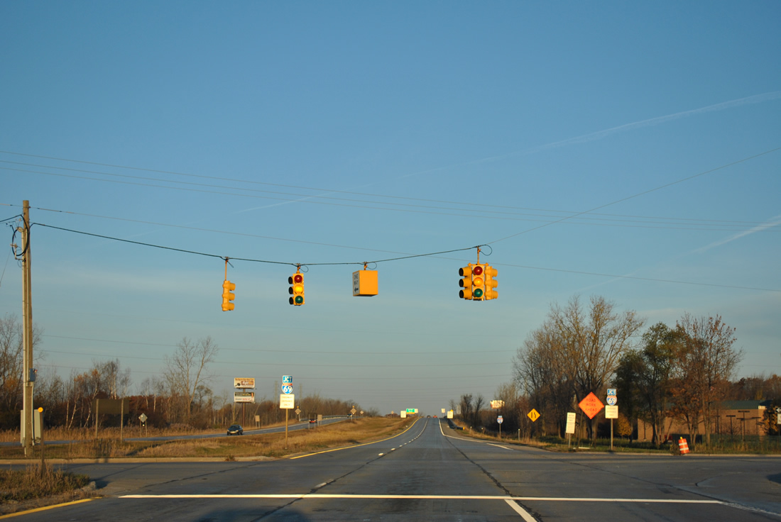
Angling northwest along an expressway, Business Spur I-69 intersects 32nd Street. 32nd Street stems north from Griswold Street to a nearby shopping center and Lapeer Road.
11/06/11
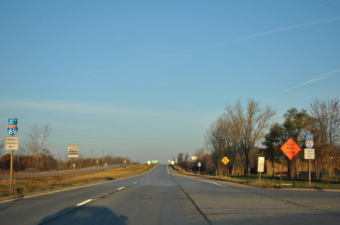
A pair of junction shields for I-69 accompany freeway entrance only signs as the expressway leaves 32nd Street.
11/06/11
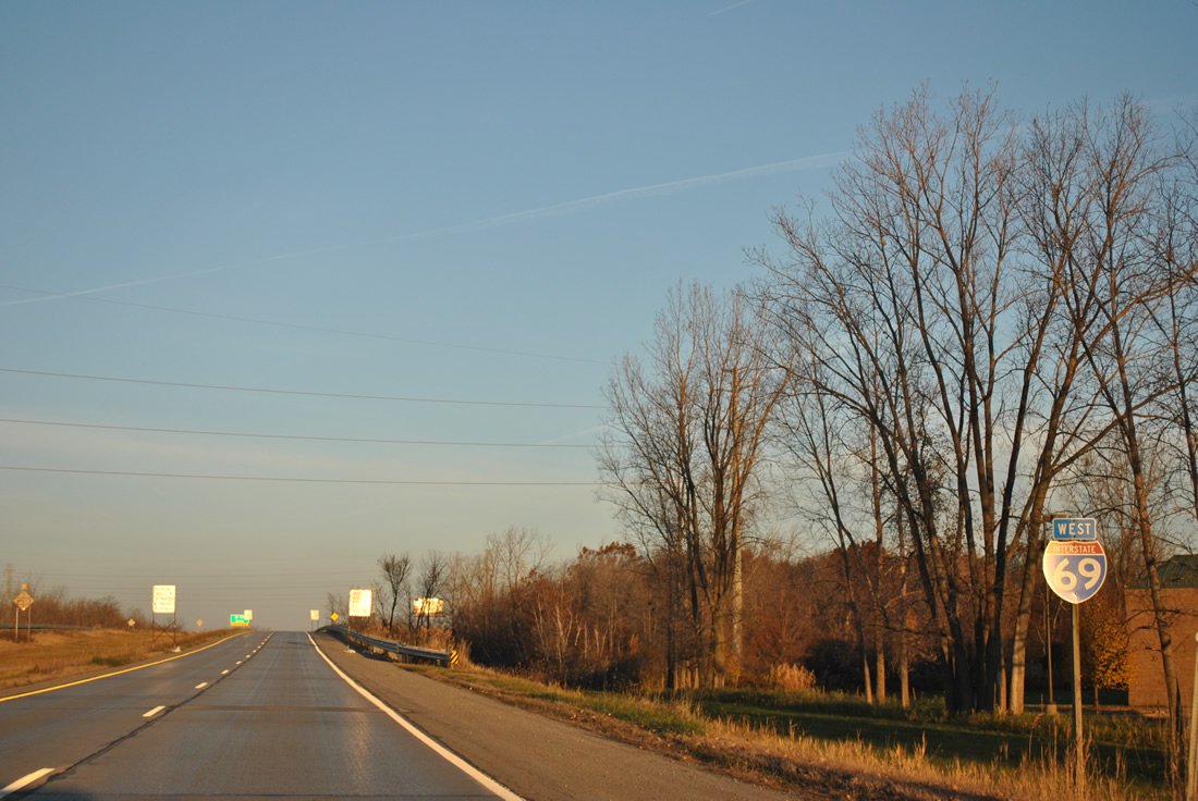
An Interstate 69 west shield takes the place of Business Loop I-69 west as the expressway elevates to pass over an abandoned railroad line.
11/06/11
Business Loop I-69 provides access to Interstate 94 west before merging onto I-69 west ahead of Flint.
11/06/11
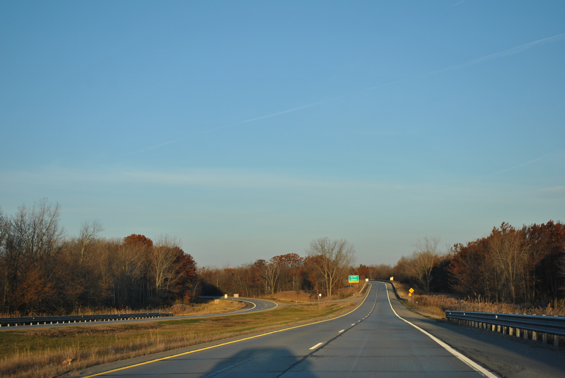
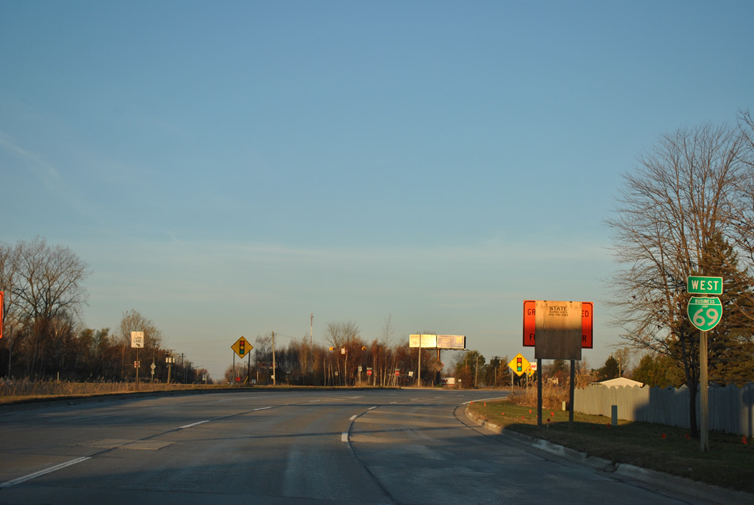
Approaching the wye interchange with I-69/94 west on Business Loop I-69 west. Construction kicked off on September 30, 2013 involving a $76 million project to rebuild 3.7 miles of I-69/94 west from Lapeer Road, including the interchange with Business Loop I-69. Work is scheduled through late 2015.2
11/06/11
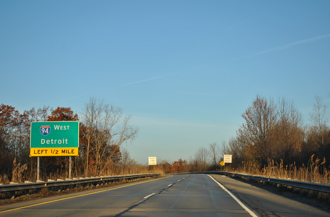
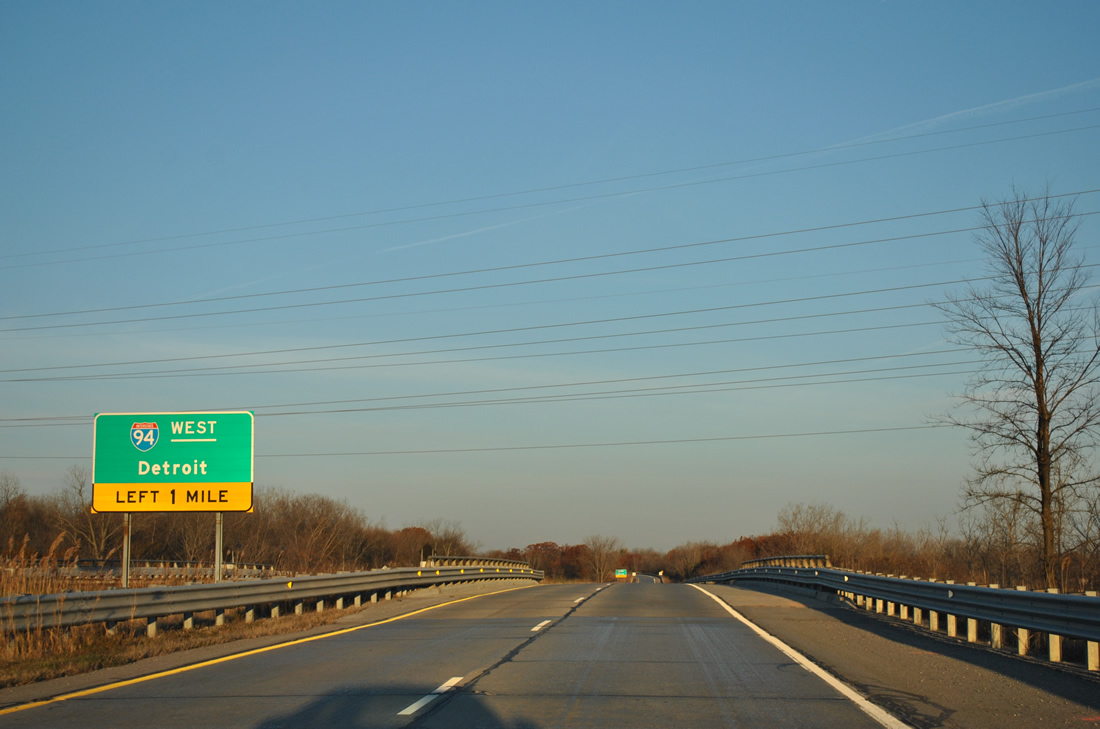
One half mile out from the connecting ramp to Interstate 94 west for Detroit.
11/06/11
A left side ramp departs for I-94 west as two lanes of Business Loop I-69 west merge onto Interstate 69 west.
11/06/11
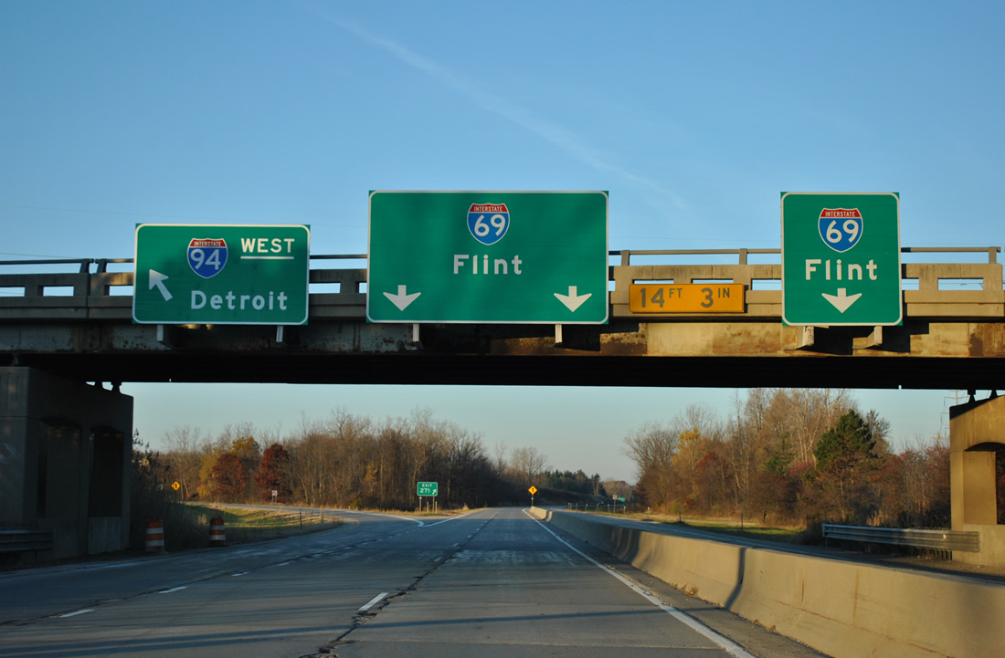
An I-94 exit number references the Business Loop I-69 transition onto I-69 west. I-69/94 split at a three-wye interchange to the left. It was replaced with a new directional ramp further west as part of the 2013-15 road work.
11/06/11
References:
- Michigan Highways: Business Connections 32 through 94.
- "I-94/I-69 interchange construction begins Monday, Sept. 30, in St. Clair County." MDOT Office of Communications, press release. September 24, 2013.
- Military Street Bascule Bridge. http://bridgehunter.com/mi/st-clair/bh37124/ Bridgehunter.com.
Photo Credits:
- ABRoads: 11/05/11, 11/06/11
Connect with:
Page Updated Wednesday October 23, 2013.