
Interstate 94
Interstate 94 runs 278 miles across southern Michigan, from the Indiana state line near New Buffalo to the Blue Water Bridge spanning the St. Clair River from Port Huron to Point Edward in Ontario, Canada. I-94 follows Lake Michigan northeast to Benton Harbor, where I-196 branches northward to Holland and Grand Rapids. I-94 turns east from St. Joseph and U.S. 31 to Kalamazoo, Battle Creek and Jackson.
Advancing east to the Detroit area, I-94 arcs south around the city of Ann Arbor between the freeways along M-14 and U.S. 23. I-94 continues to Belleville, Romulus and Dearborn in Wayne County. Following the Edsel Ford Freeway I-94 enters the city of Detroit at Claytown. Passing well north of Downtown, I-94 crosses paths with I-96 (Jeffries Freeway), M-10 (John C. Lodge Freeway) and I-75 (Walter P. Chrysler Freeway). Curving north into the city of Harper Woods, I-94 parallels the west shore of Lake St. Clair to I-696 at St. Clair Shores and past the last of the north Detroit suburbs at New Baltimore.
Interstate 94 bee lines northeast across rural St. Clair County to Marysville. The northernmost stretch of I-94 overlaps with I-69 for 3.57 miles east to the tolled Blue Water Bridge in the city of Port Huron.
Interstate 94 was fully completed in Michigan by 1972.1 The Edsel Ford Freeway in Detroit opened between the Dearborn city limit and Grand River Road in 1953 and eastward to the John C. Lodge Freeway (M-10) by 1954. Portions of I-94 leading west to Ypsilanti were previously designation as M-112 then later U.S. 12.2
 East
East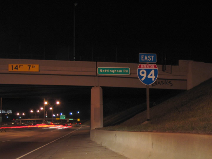
Confirming marker posted along Interstate 94 east at the Nottingham Road overpass in Detroit. Exit 222 B departs ahead for Harper Avenue.
11/13/04
References:
Photo Credits:
- Carter Buchanan: 11/13/04
Connect with:
Page Updated Friday August 06, 2021.