
Interstate 70 West - Sevier to Cove Fort

The final 23.91 miles of Interstate 70 travel independent of any U.S. Highway. The freeway across Pavant Range replaced SR 4, which previously replaced SR 13.
08/17/13
08/17/13
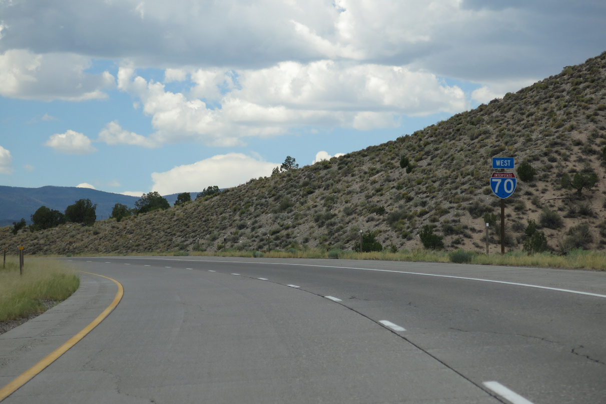
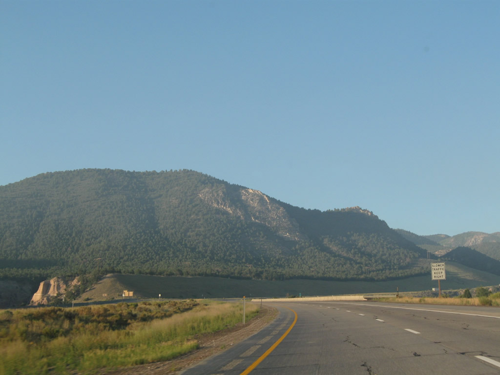
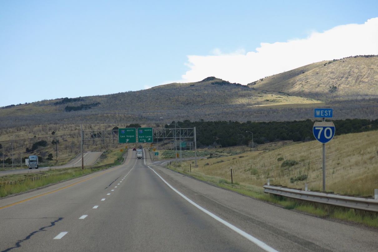
The last distance sign for Interstate 70 was amended to increase the mileage for I-15 from 21 to 22 miles.
08/17/13
08/17/13
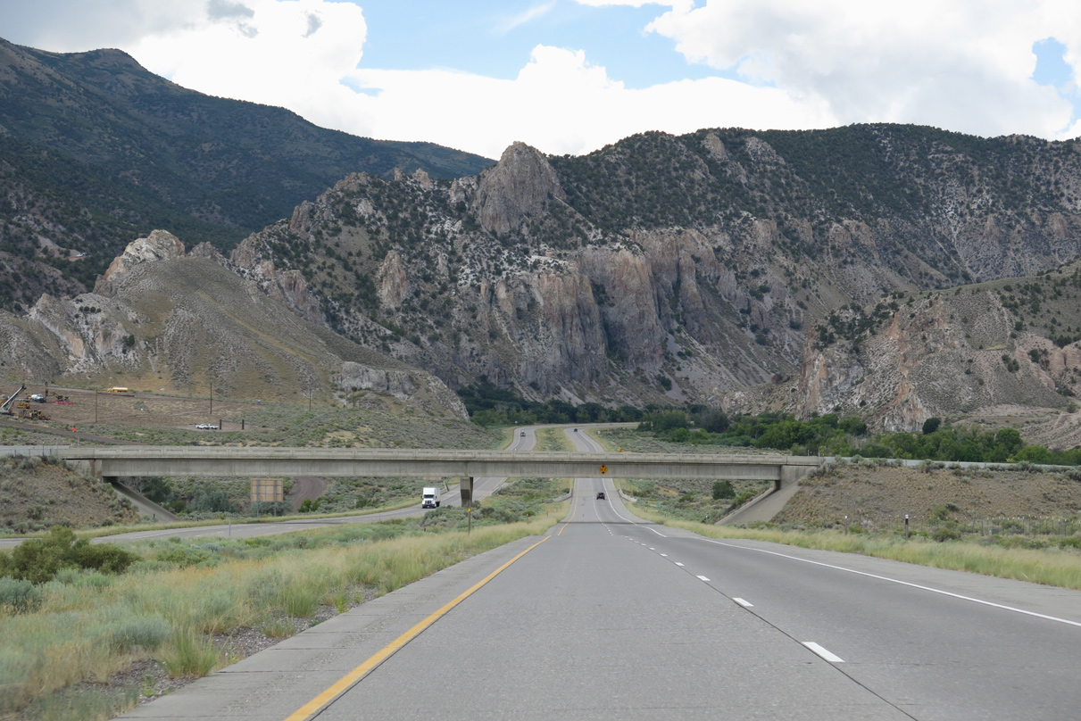
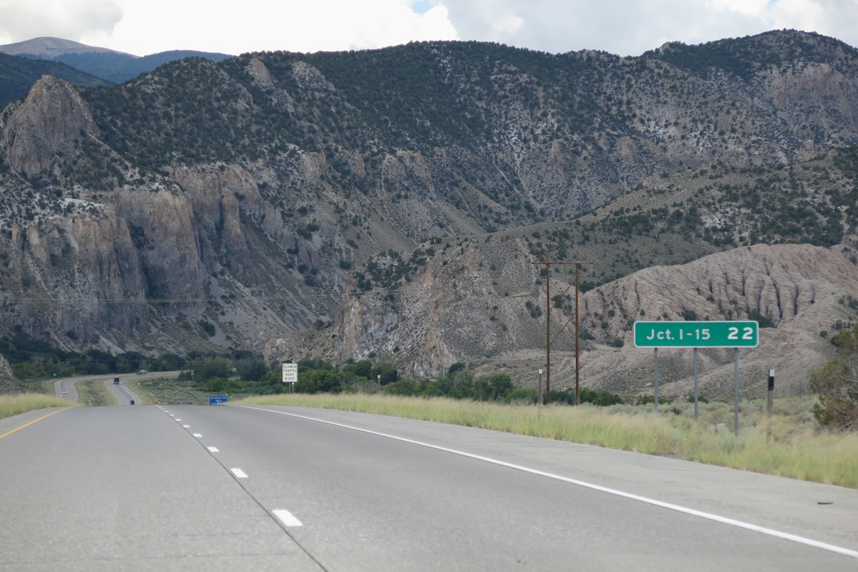
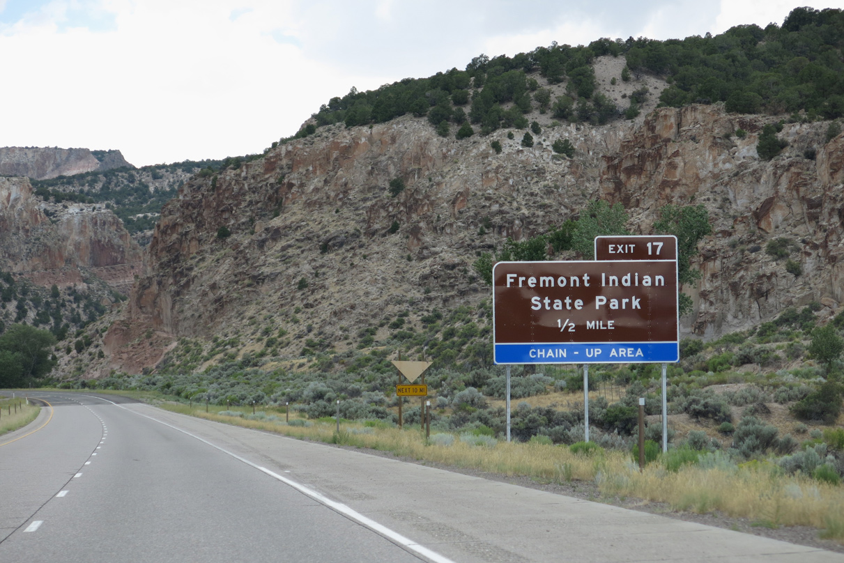
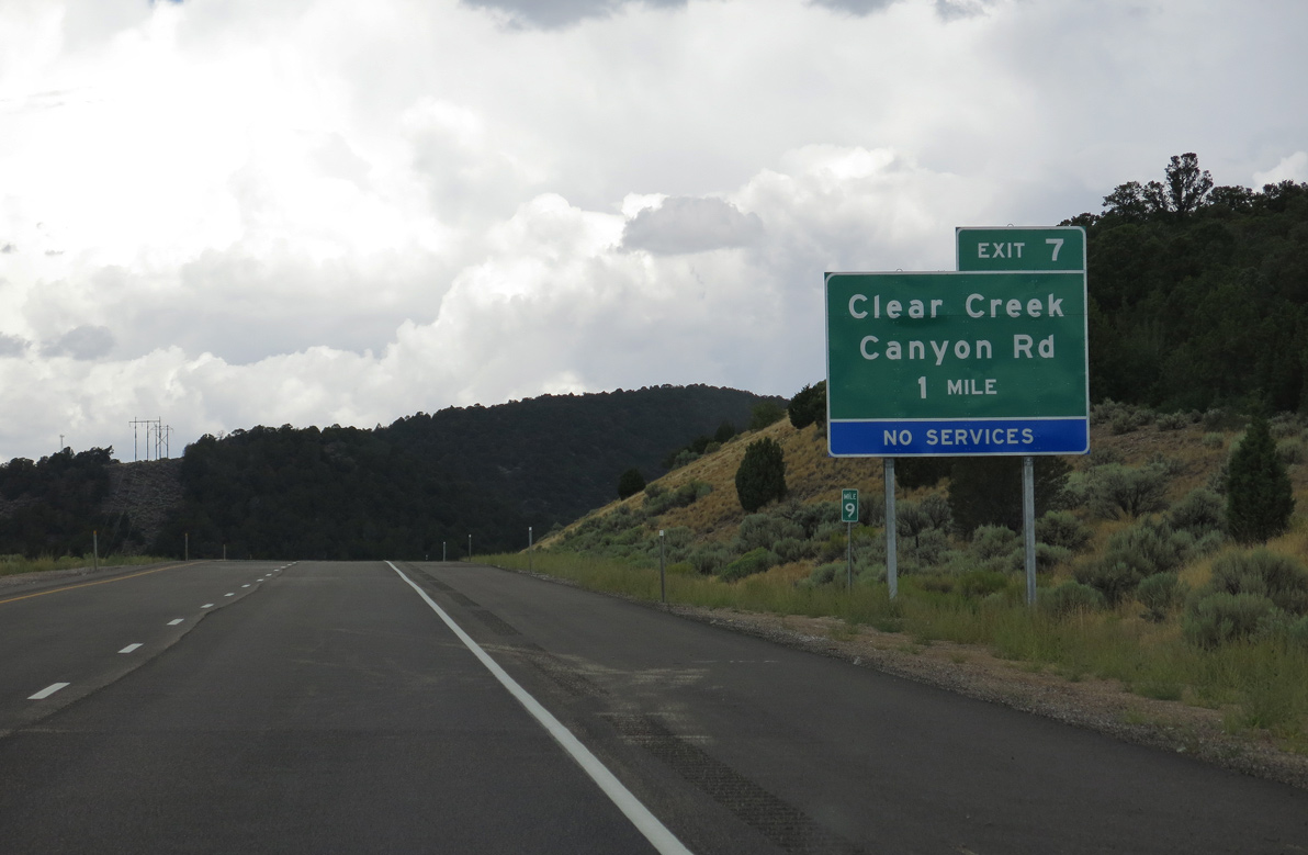
Clear Creek Canyon Road (old SR 4) spans Interstate 70 ahead of milepost 22. Old SR 4 parallels the north side of the freeway westward into Fremont Indian State Park and Museum.
08/17/13
08/17/13
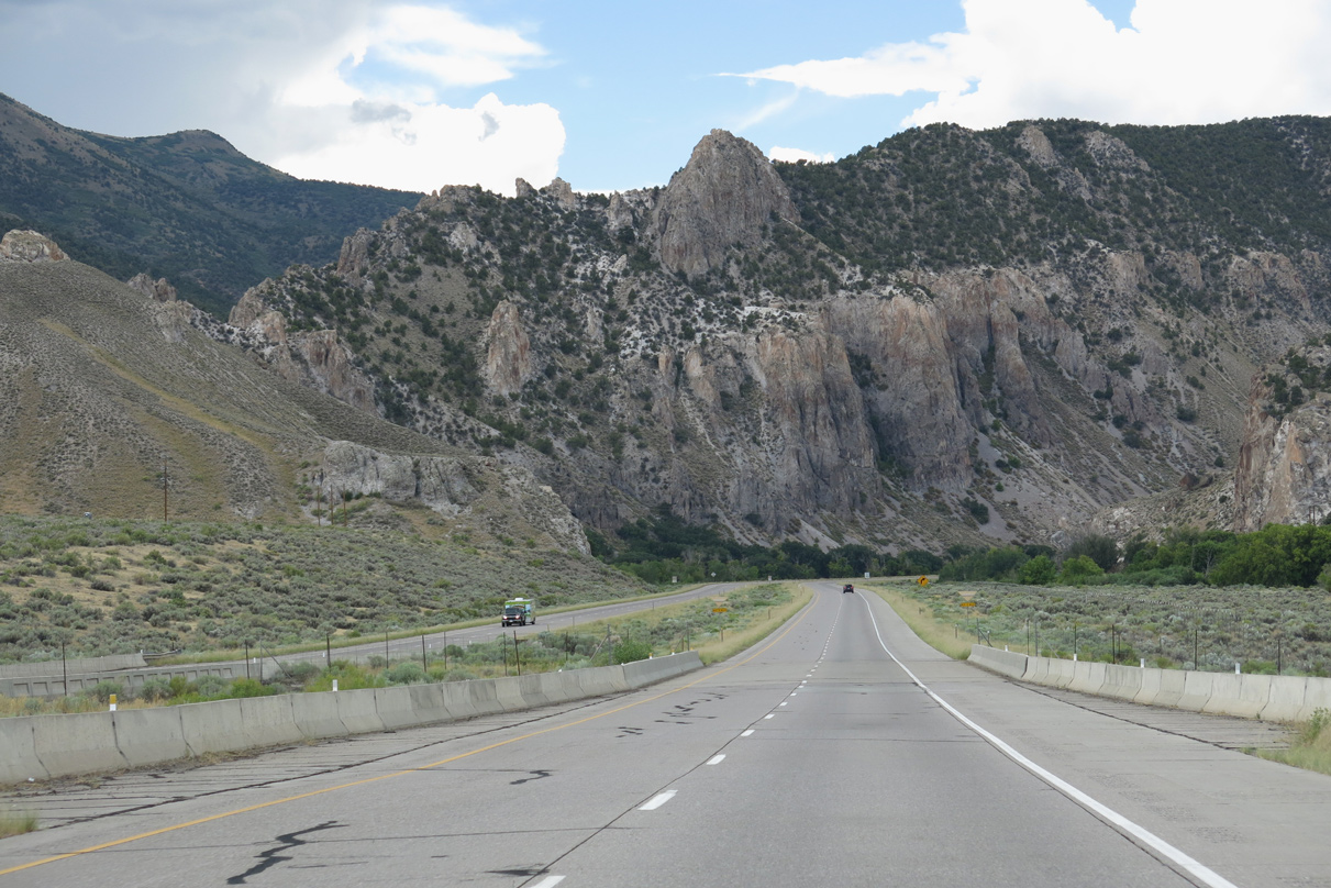
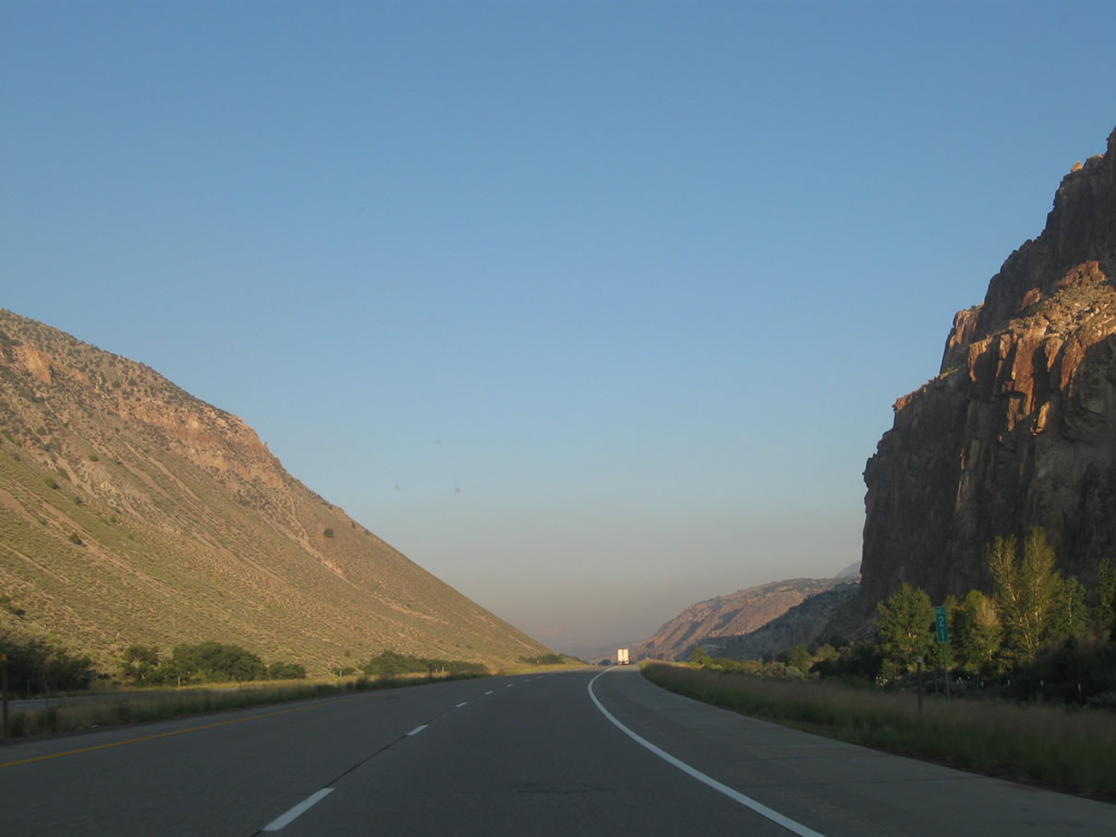
Interstate 70 turns west beside rocky crags on the north side of Sargent Mountain.
08/17/13
08/17/13
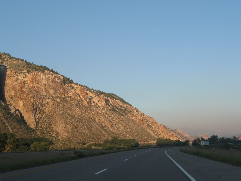
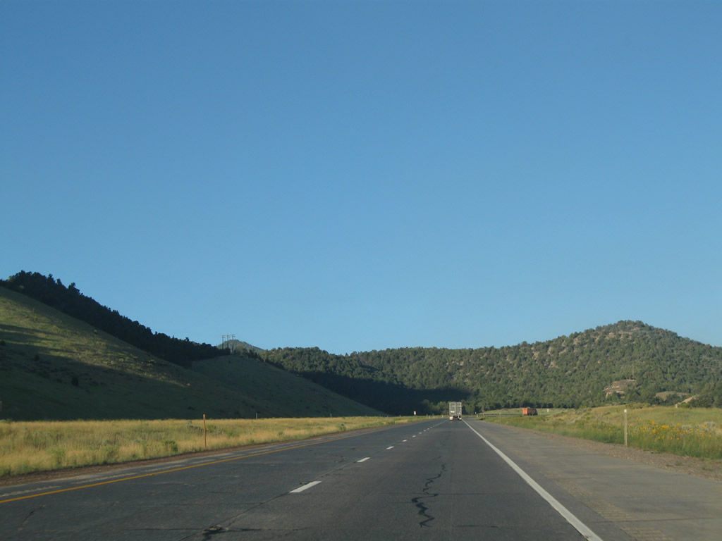
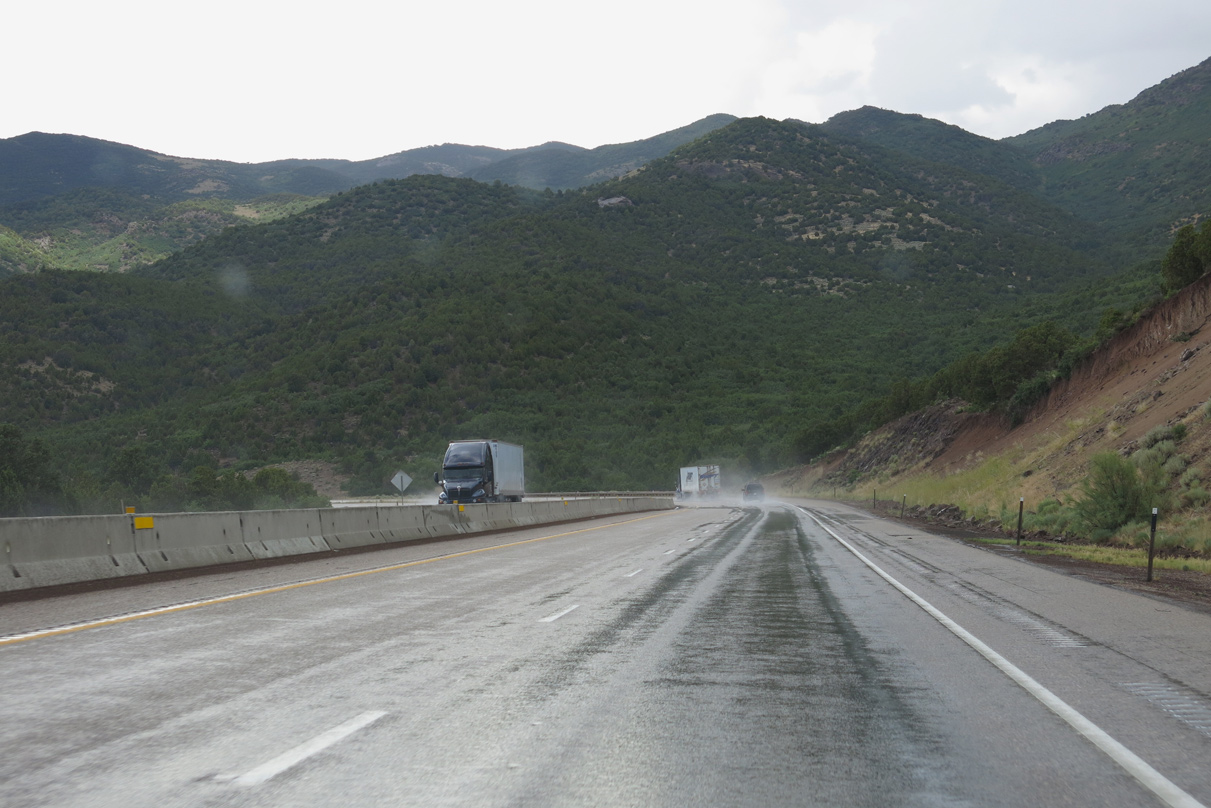
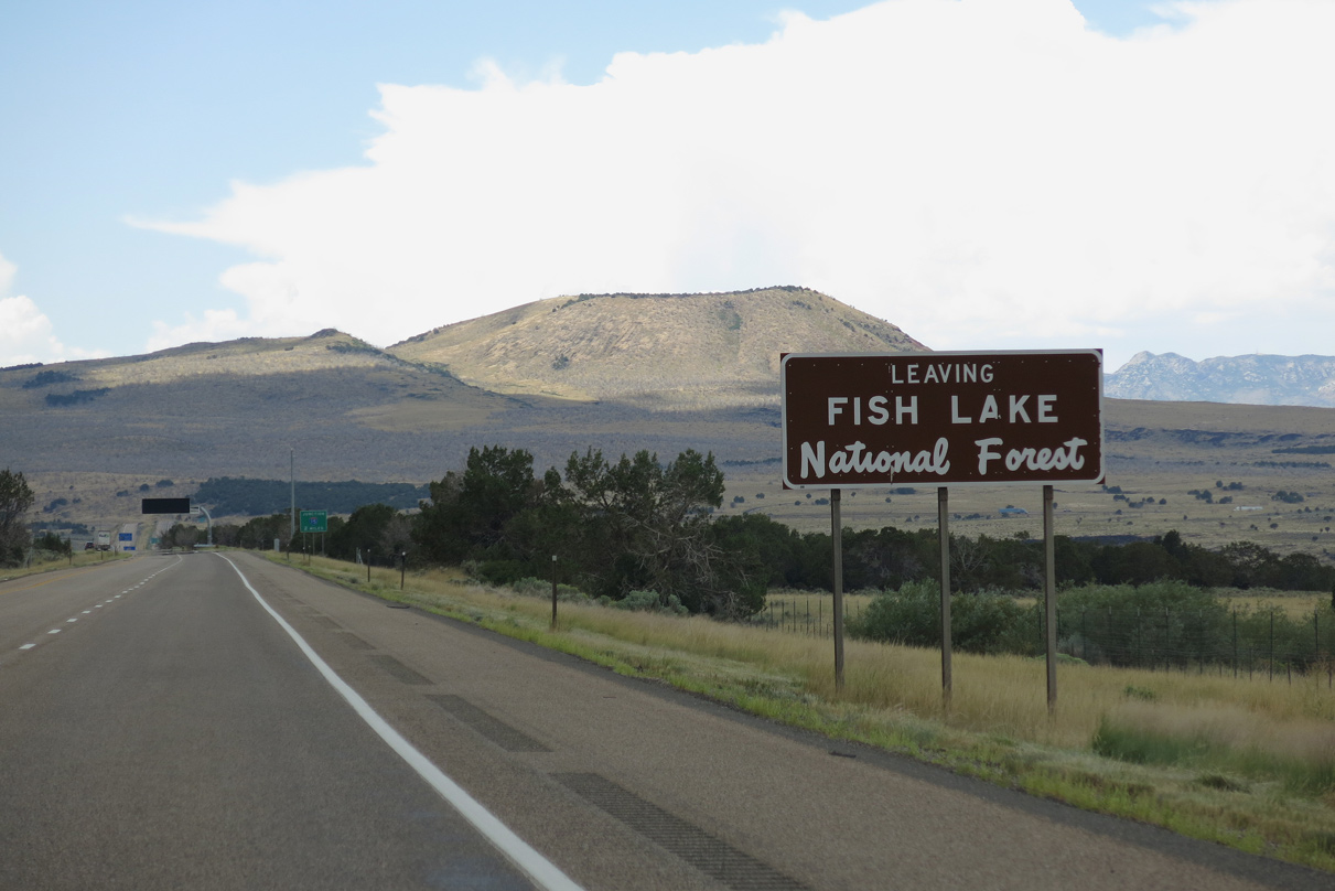
Advancing west into Clear Creek Canyon, Interstate 70 reenters Fishlake National Forest.
08/15/10
08/15/10
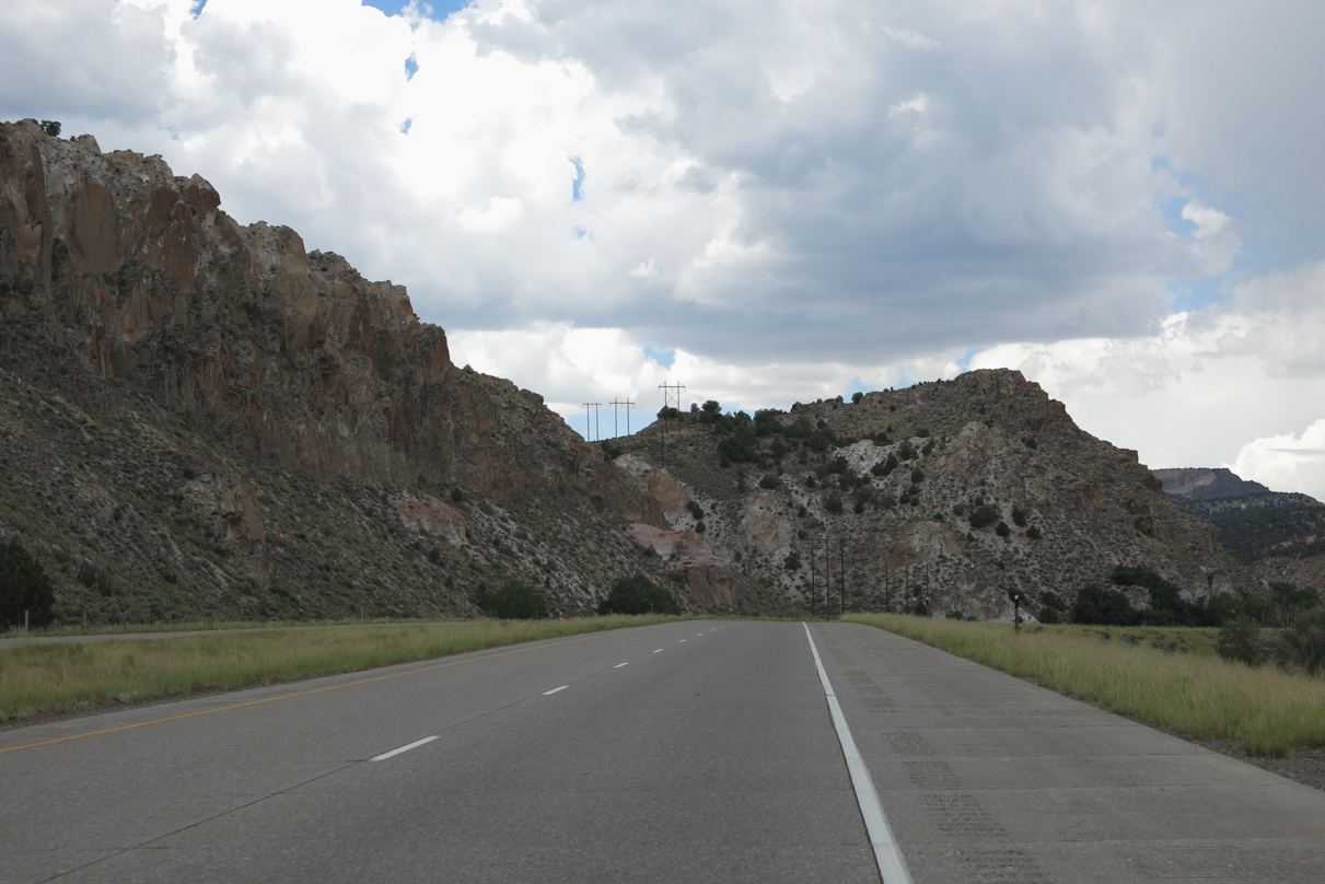
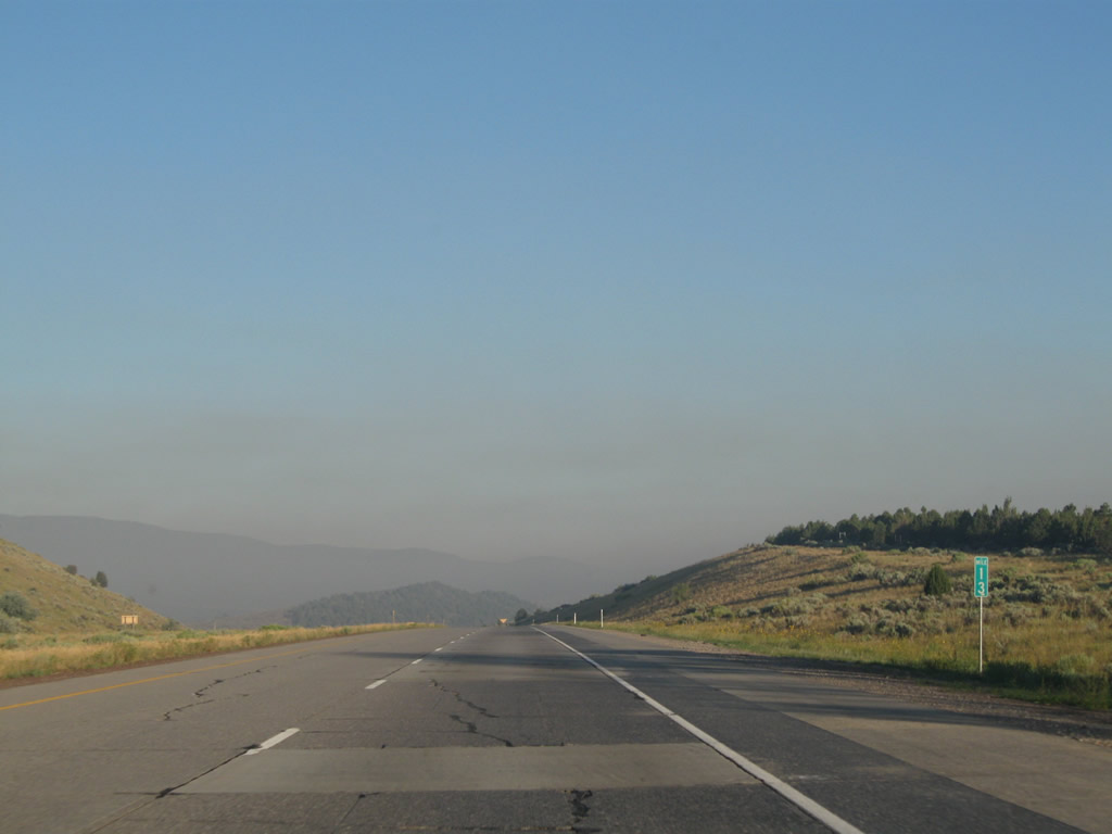
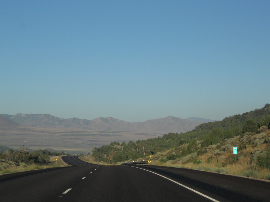
Haze on the morning of August 15, 2010 was due to nearby wildfires.
08/15/10
08/15/10
08/17/13
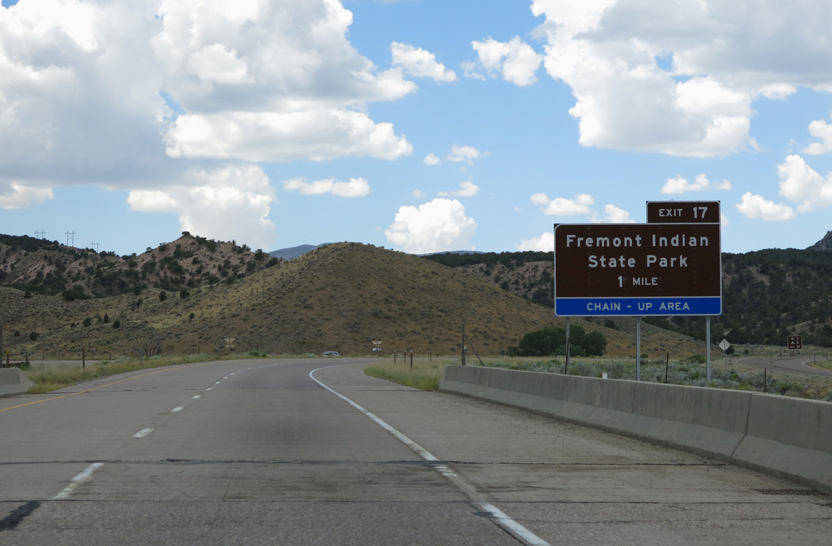
The forthcoming diamond interchange (Exit 17) with Castle Rock Campground Road includes a chain up area, due to the increasing elevation along Interstate 70.
08/17/13
08/17/13
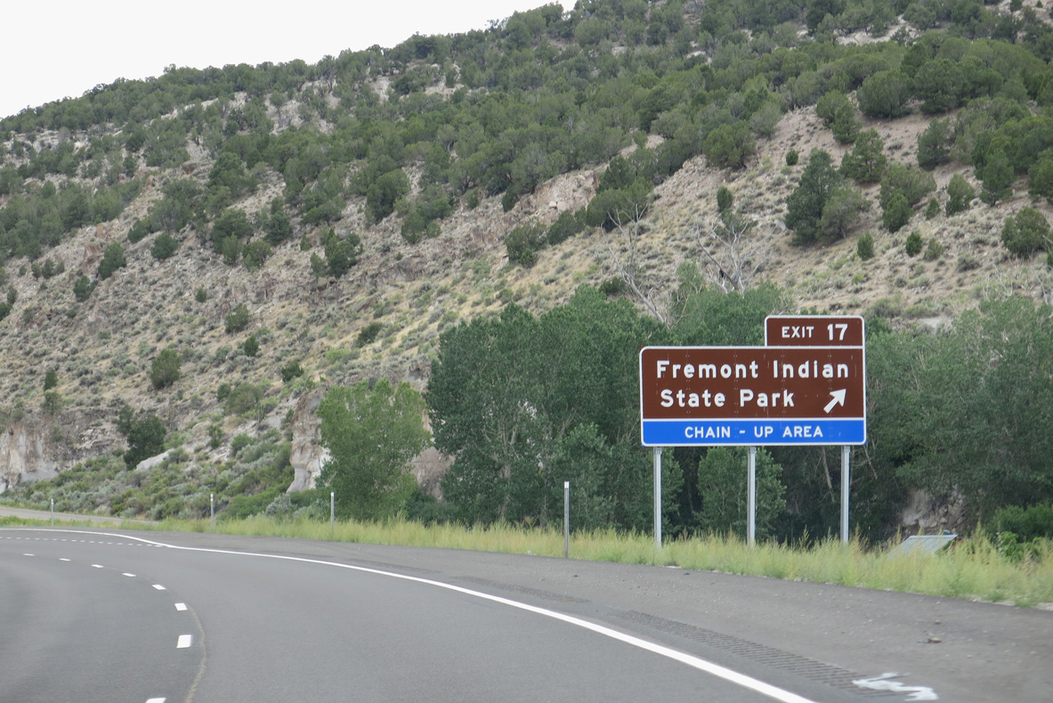
Exit 17 links Interstate 70 with adjacent Kimberly Loop Road (Route 1990) and Kimberly Road (old SR 4) at the Fremont Indiana State Park and Museum.
08/17/13
08/17/13
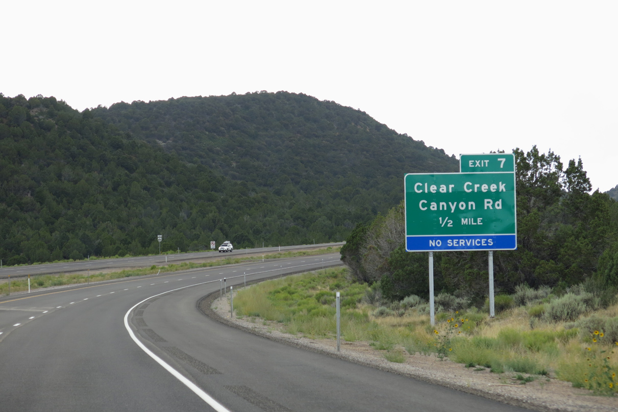
Clear Creek Canyon Road (CR 4) continues 8.19 miles west from Kimberly Road and Fremont Indian State Park and Museum to I-70 at Exit 7. CR 4 was part of SR 13 until 1962, when it was renumbered as SR 4.
08/17/13
08/17/13
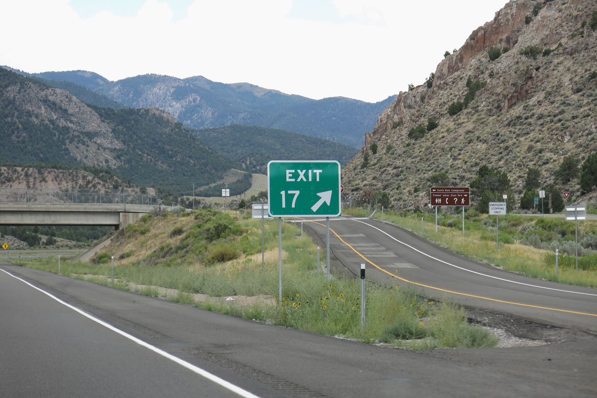
Castle Rock Campground is south of the exchange at Exit 17.
08/17/13
08/17/13
08/17/13
08/15/10
08/17/13
08/15/10
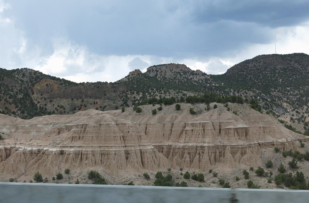
Interstate 70 traverses the Mud Flats westbound by mile marker 13.
08/15/10
08/15/10
08/17/13
08/17/13
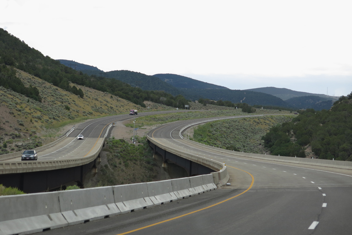
An S-curve leads I-70 northwest across Fish Creek.
08/17/13
08/17/13
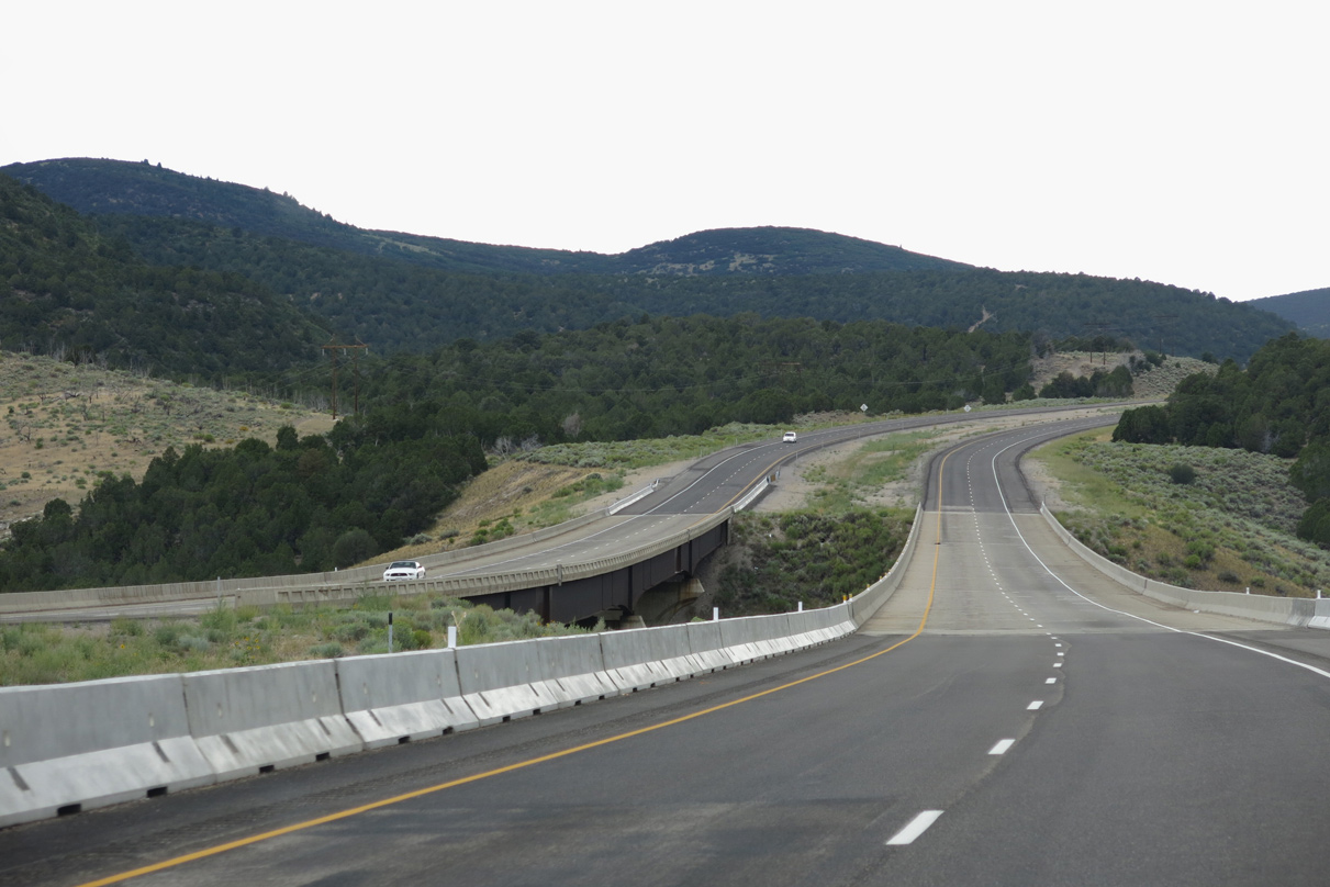
Interstate 70 spans both Shingle Creek and County Road 1120 west of mile marker 10.
08/17/13
08/17/13
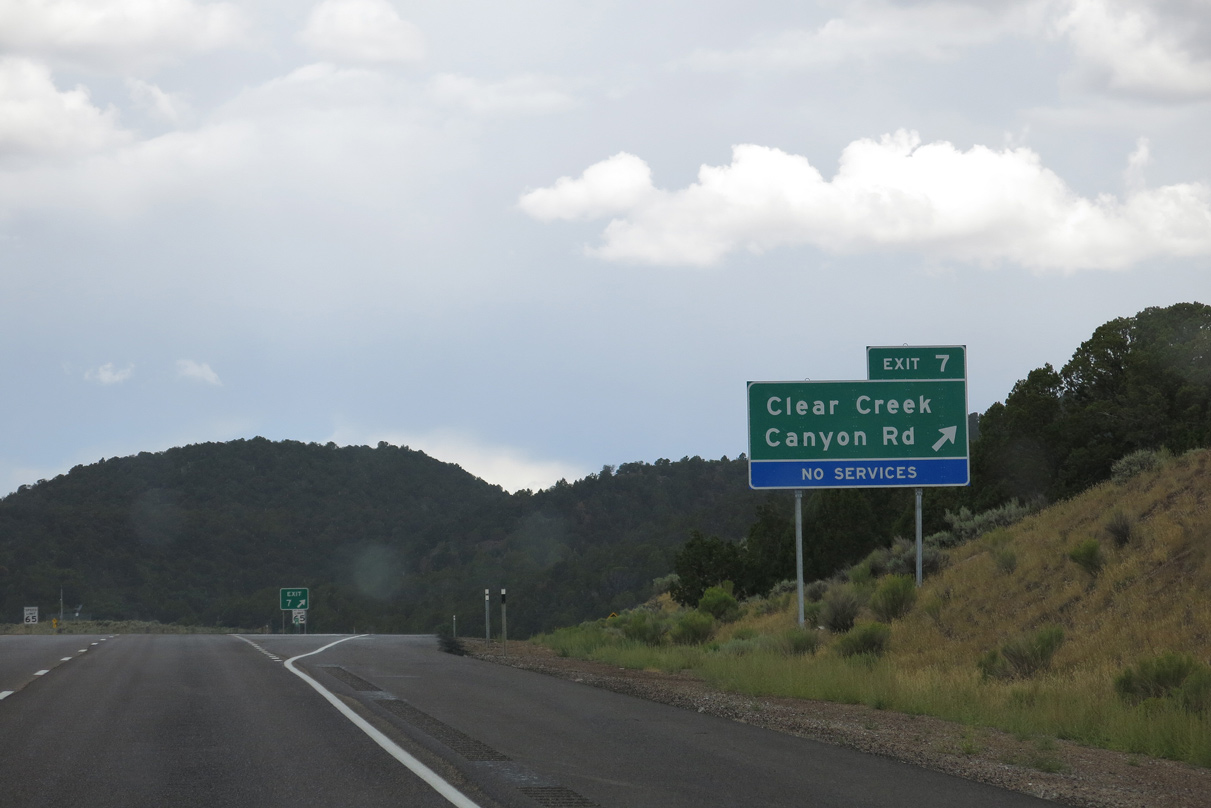
A diamond interchange joins I-70 with the west end of Clear Creek Canyon Road (CR 4) and County Road 1115 at Exit 7.
08/17/13
08/17/13
Formerly signed as just a ranch exit, Clear Creek Canyon Road (CR 4) follows Clear Creek east back into Fishlake National Forest.
08/17/13
08/17/13
Interstate 70 generally replaced Old SR 4/13 from Exit 7 westward to Cove Fort.
08/17/13
08/17/13
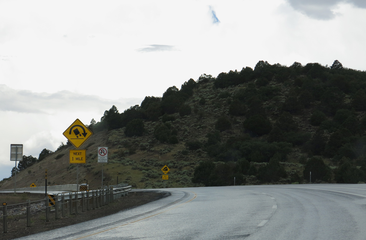
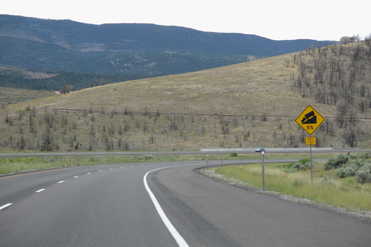
Interstate 70 lowers at a 6% grade along the ensuing four miles west from Exit 7.
08/17/13
08/17/13
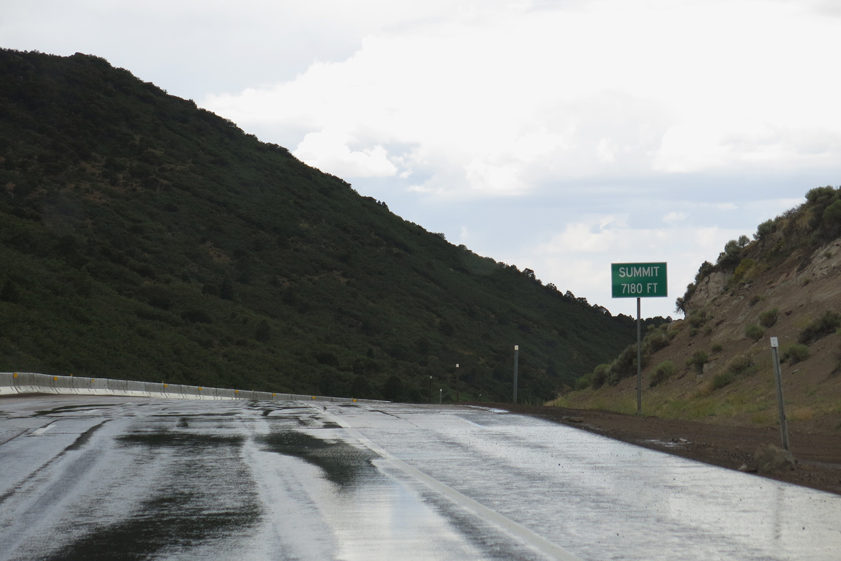
Located just west of Exit 7, the summit of Interstate 70 across the Pavant Range is 7,180 feet above sea level.
08/17/13
08/17/13
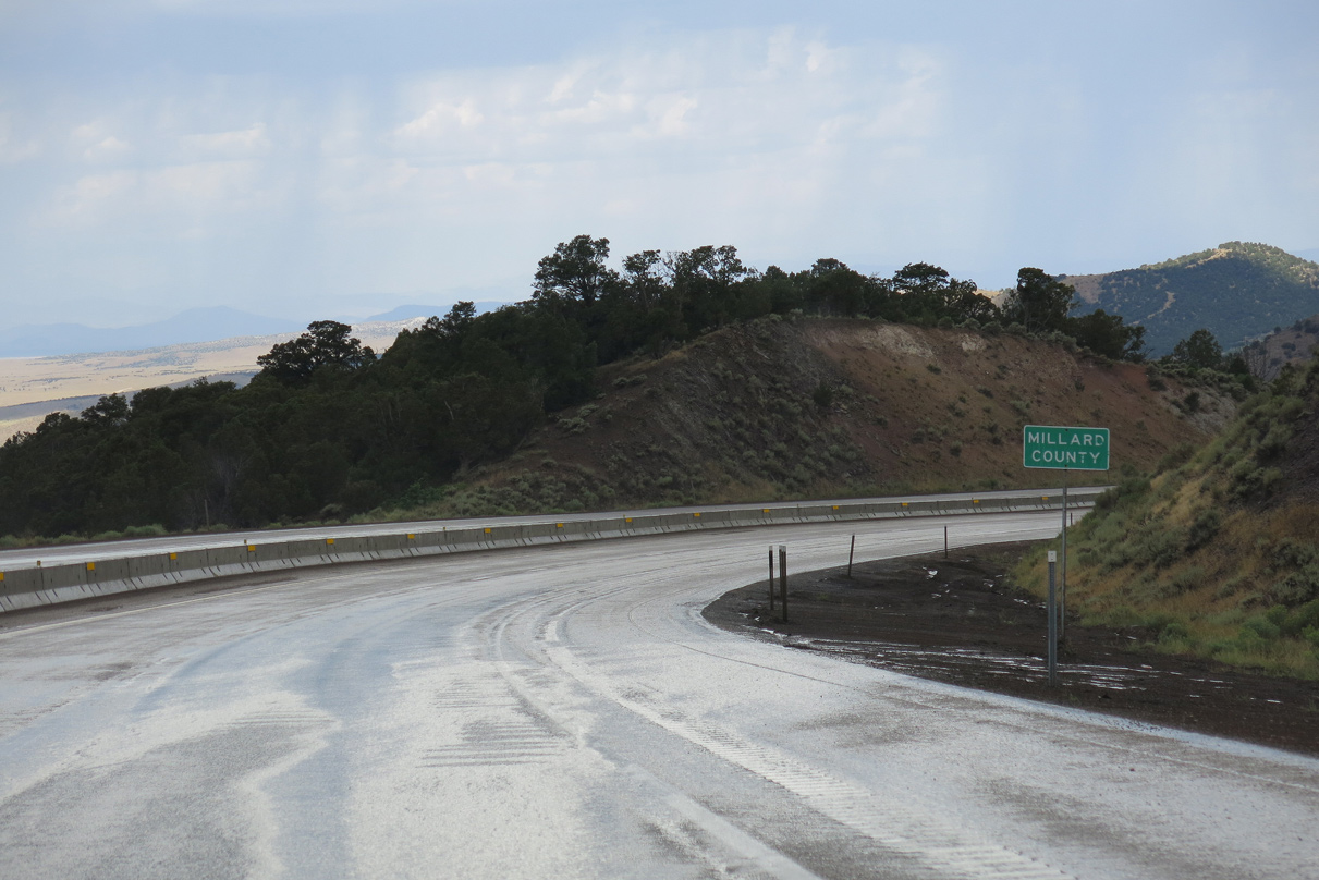
Interstate 70 west next enters Millard County, named for former U.S. President Millard Fillmore. It had a population of 12,975 as of the 2020 Census. The county seat is Fillmore along I-15 to the southwest.
08/17/13
08/17/13
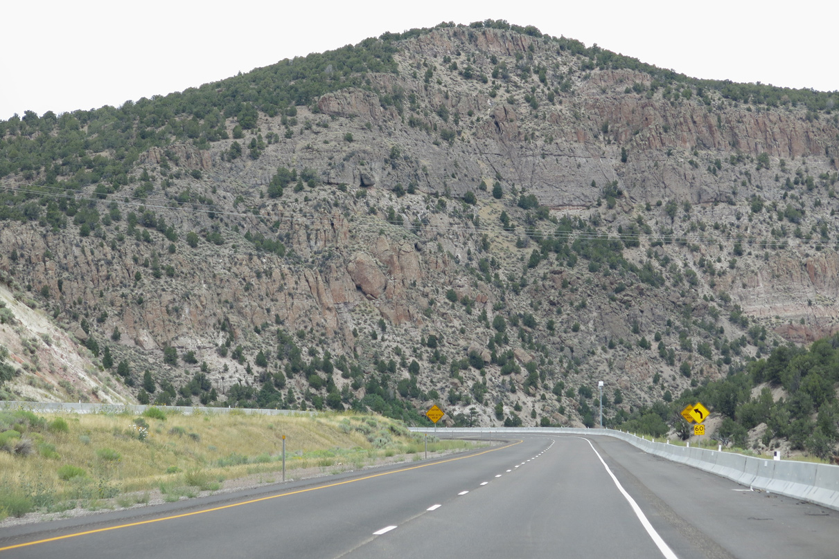
Interstate 70 curves westward sharply across Bear Canyon.
08/17/13
08/17/13
A broad valley comes into west from Interstate 70 between Sulphur Peak (el. 7,018 feet) and County Road 3920 (old SR 4/13).
08/15/10
08/15/10
I-70 shifts southwest from CR 3920 (old SR 4) past Cove Fort. Cove Fort began as an outpost for weary pioneers traveling between Beaver and Fillmore in 1867. Created by Ira Hinckley at the request of Brigham Young, the settlement remained an attraction long after its duties came to an end.
08/17/13
08/17/13
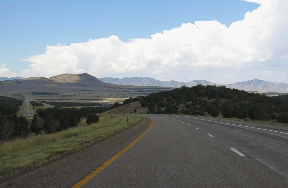
Cinder Crater appears along the western horizon as Interstate 70 leaves Fishlake National Forest.
08/17/13
08/17/13
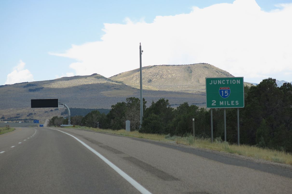
Interstate 70 concludes in two miles at I-15 beyond the upcoming diamond interchange (Exit 1) with SR 161 (Cove Fort Road) north and CR 6045 (old U.S. 91) south.
08/17/13
08/17/13

Following old U.S. 91, SR 161 (Cove Fort Road) loops northwest 3.09 miles from Exit 1 to Interstate 15 at Exit 135.
08/17/13
08/17/13
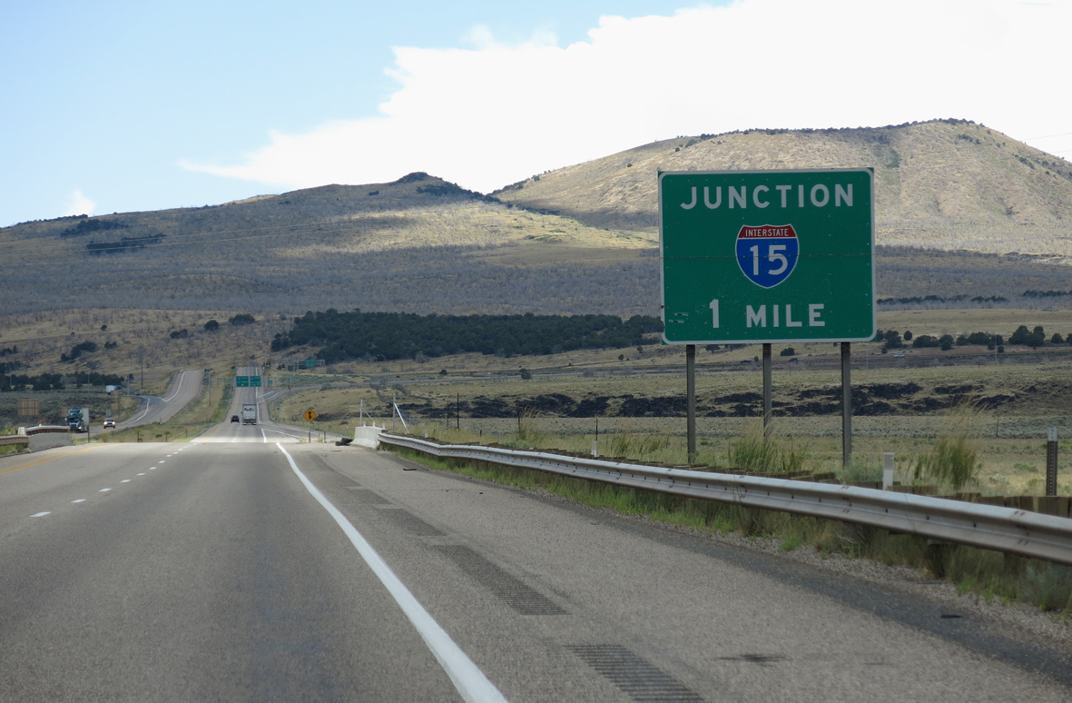
Continuing one mile west from SR 161 (Cove Fort Road), Interstate 70 ties into I-15 at an unnumbered trumpet interchange.
08/17/13
08/17/13
The final confirming marker for Interstate 70 west.
08/17/13
08/17/13
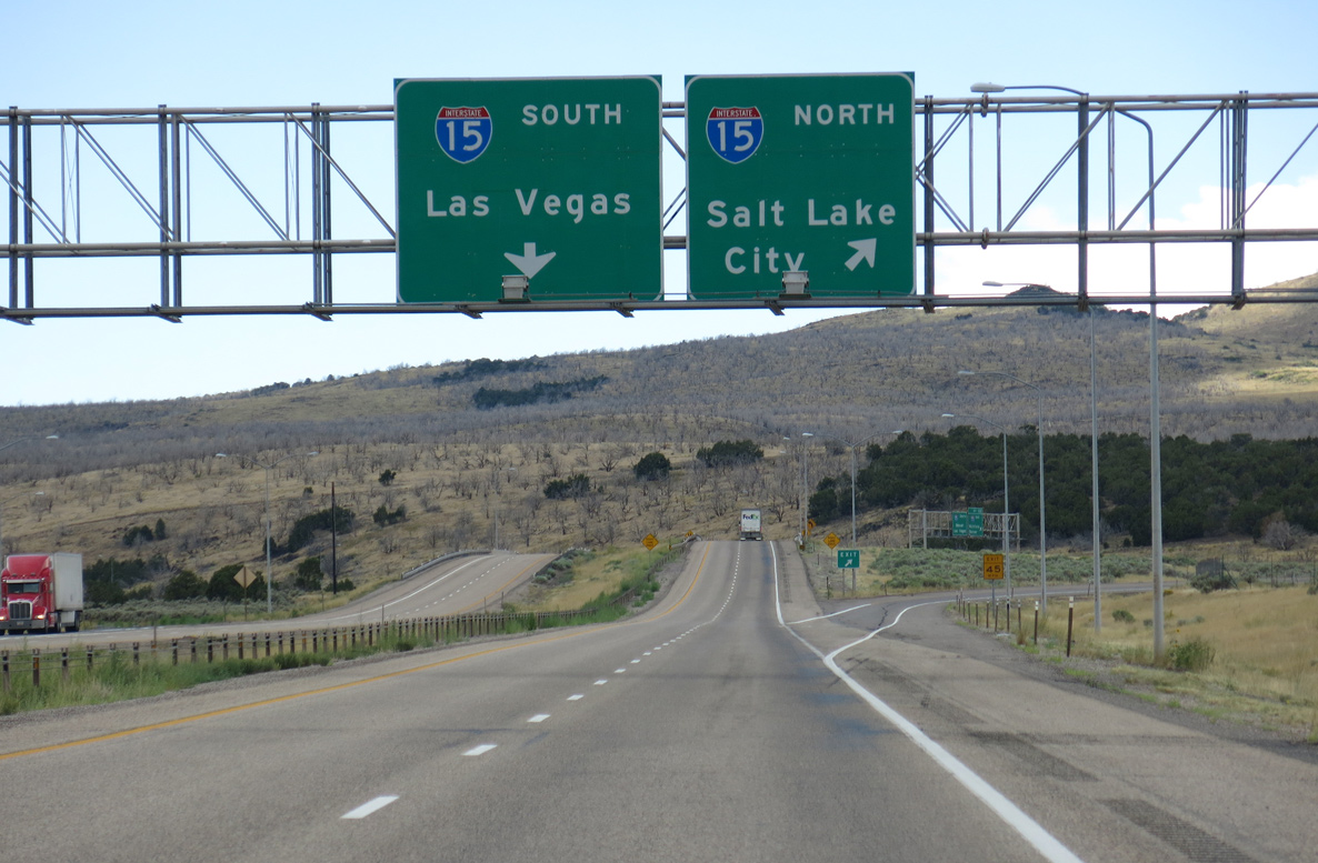
Traffic separates for I-15 north to Provo, Salt Lake City and Ogden and I-15 south to Fillmore, Cedar City and St. George.
08/17/13
08/17/13
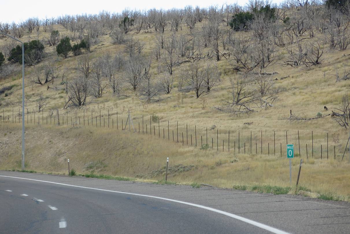
Milepost zero for Interstate 70 stands along the ramp to I-15 south. Replacing U.S. 91, Interstate 15 travels southwest from Utah to Las Vegas, Nevada and San Bernardino, California.
08/17/13
08/17/13
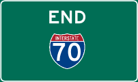
Photo Credits:
- Andy Field: 08/15/10, 08/17/13
Connect with:
Page Updated Wednesday February 23, 2022.