
Interstate 70 West - Aurora to Joseph

 West
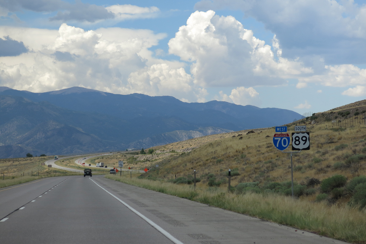
West  South
South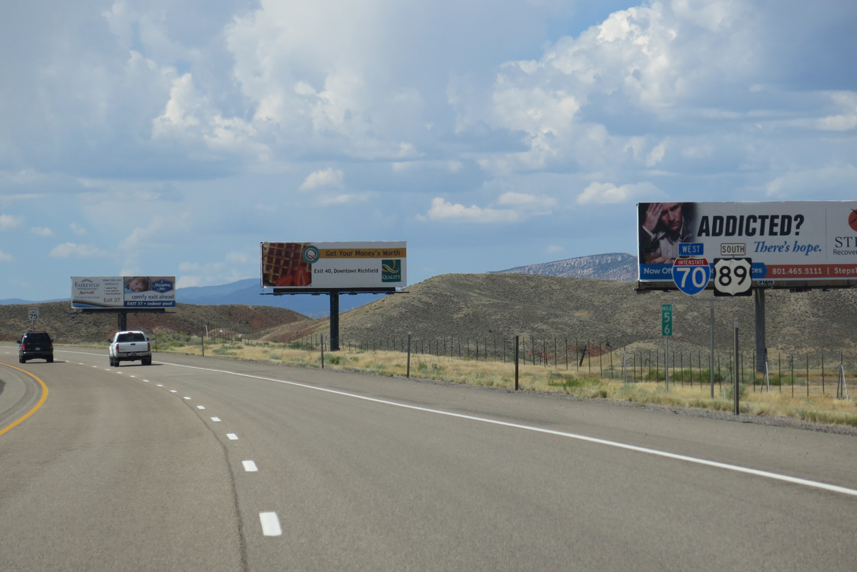
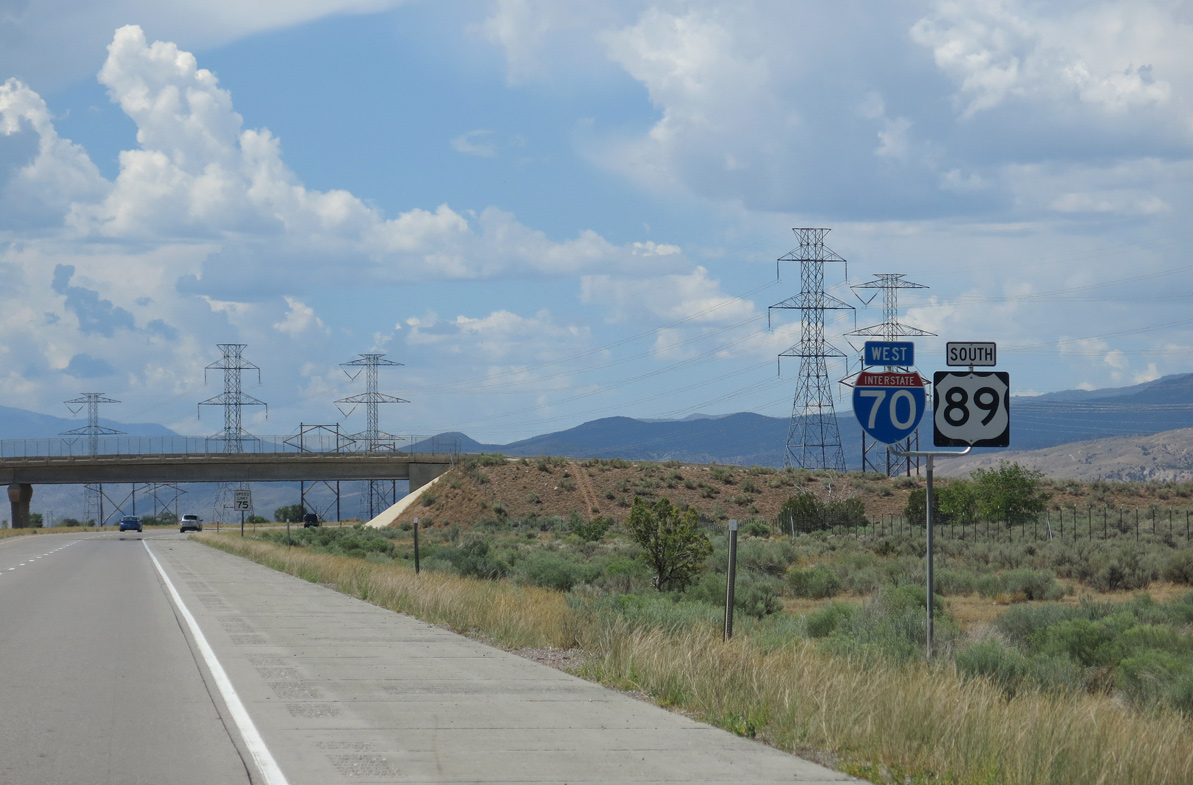
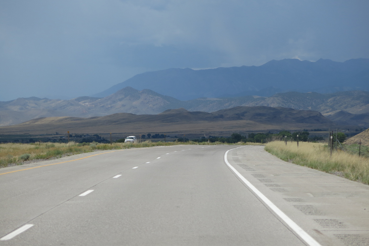
U.S. 89 combines with Interstate 70 southwest from Salina 40.89 miles to Exit 23 at Sevier.
08/17/13
08/17/13

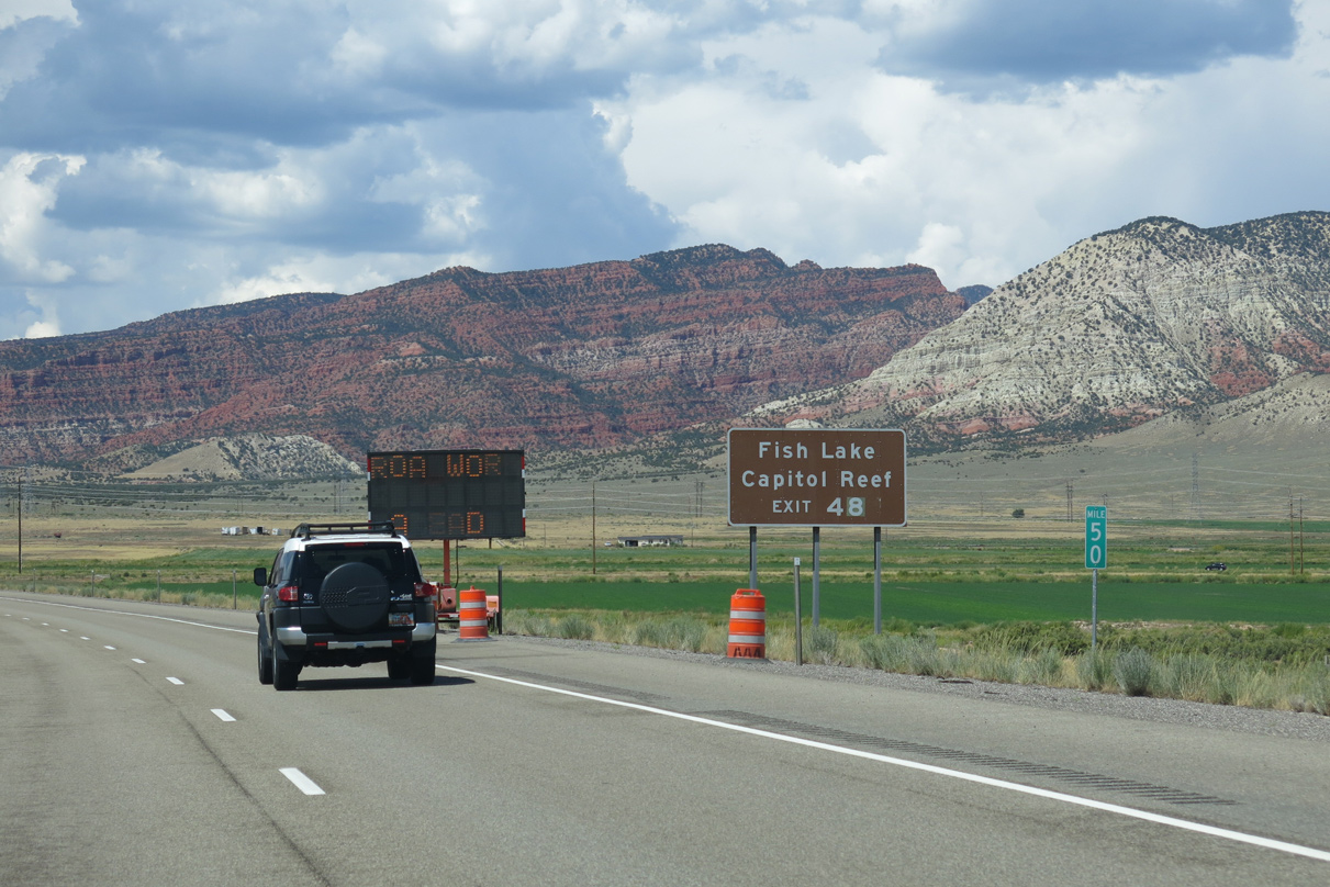
The succeeding exit along I-70/U.S. 89 west lies 6.6 miles ahead with SR 259 to SR 24 (old U.S. 89) to Sigurd.
08/17/13
08/17/13
08/17/13
08/17/13
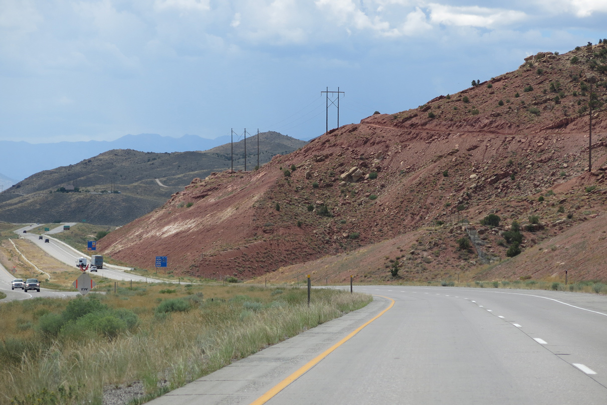
A double-circuit power line crosses over Interstate 70 east of the Sevier River. This line connects to several power generation facilities in the area.
08/17/13
08/17/13
08/17/13

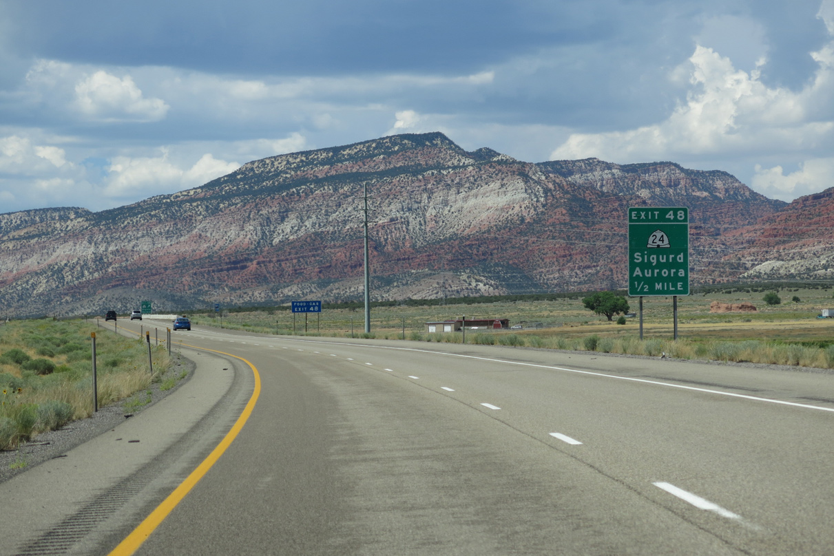
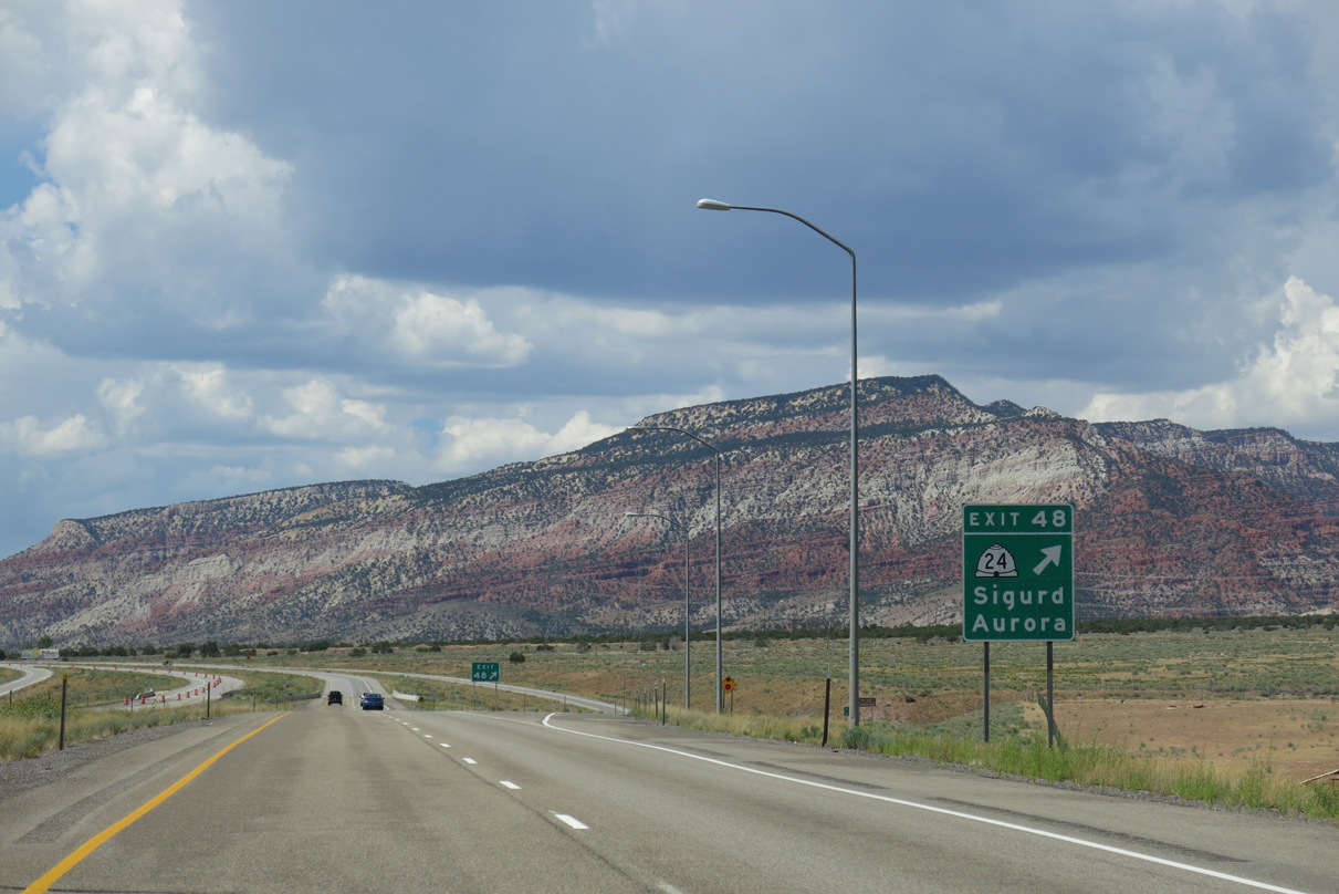
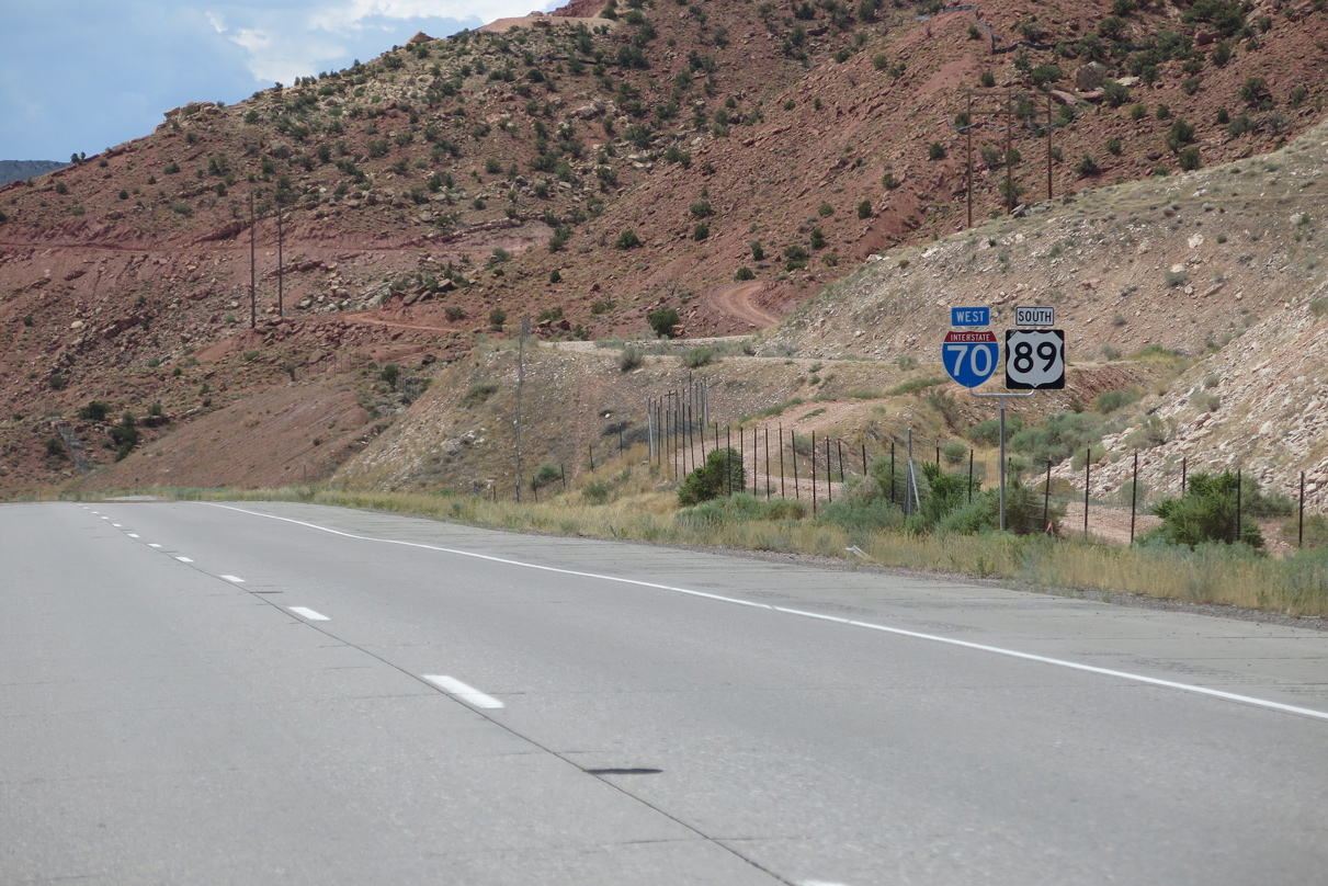
SR 24 meets Interstate 70 for the second time at Exit 48 between the town of Sigurd and city of Aurora. SR 24 represents the pre-freeway alignment of U.S. 89 northeast to Salina. Old U.S. 89 continued southwest from Sigurd along SR 118 to Richfield.
08/17/13
08/17/13
SR 24 heads 32 miles south to connect with SR 25 north for Fish Lake. SR 24 continues 35 miles east to Loa, Torrey and Capitol Reef National Park.
08/17/13
08/17/13
A 0.350 mile route, SR 259 links the diamond interchange (Exit 48) with I-70/U.S. 89 and adjacent SR 24 in Sigurd. The original route of U.S. 89 followed SR 259 south and Interchange Road north 2.75 miles from Exit 48 to SR 260 at Aurora.
08/17/13
08/17/13
Exit 48 departs I-70/U.S. 89 west for SR 259 south and Interchange Road north. SR 24 constitutes a 160.51 mile long arc northeast to U.S. 50 (Main Street) in Salina and northeast from Hanksville to I-70 at Exit 149 by San Rafael Reef.
08/17/13
08/17/13
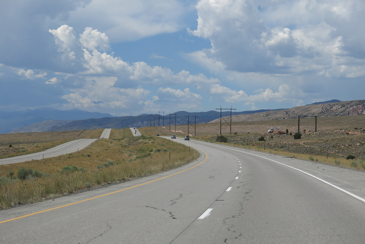
I-70/U.S. 89 parallel Piute Canal along the ensuing stretch westbound.
08/17/13
08/17/13
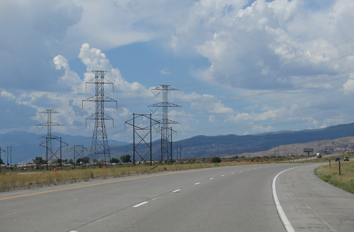
Several transmission lines span I-70/U.S. 89 just west of Sigurd. Some of these lines supply power to populated areas along the Wasatch Front.
08/17/13
08/17/13
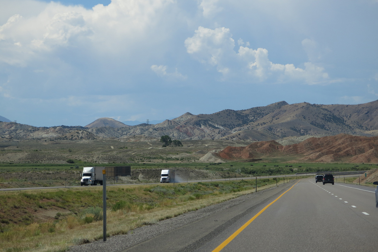
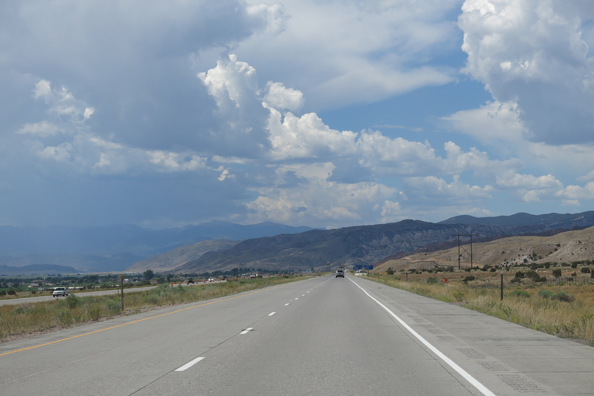
Interstate 70 shifts west along the eastern foothills of the Pavant Range, passing by Table Mountain (el. 7,293 feet) ahead of Richfield.
08/17/13
08/17/13
08/17/13
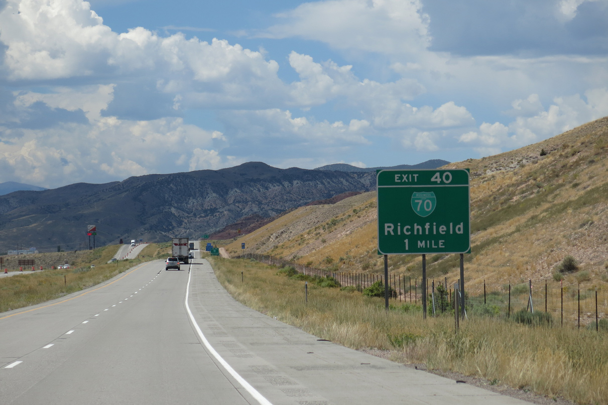
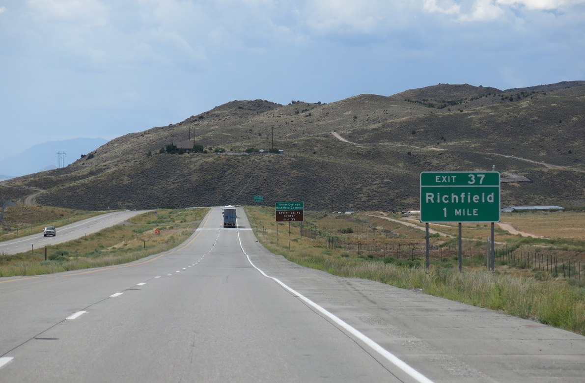
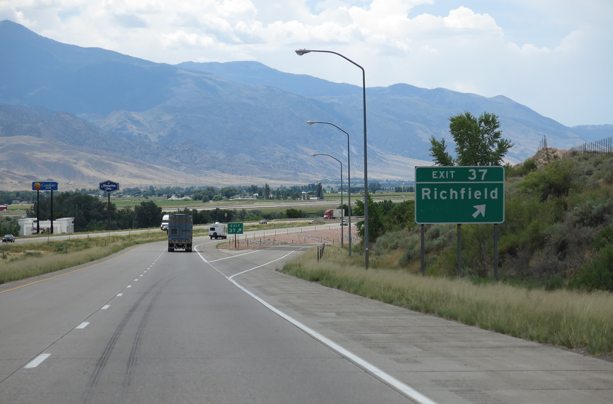
Business Loop I-70 connects I-70/U.S. 89 with the city of Richfield between Exits 40 and 37. The seat of Sevier County, Salina had a population of 8,201 as of 2020 Census, and sits at an elevation of 5,354 feet above sea level.
08/17/13
08/17/13

Business Loop I-70 through Richfield overlaps with SR 120 for 3.87 miles south from Exit 40 along Main Street and west back to I-70/U.S. 89 along 1200 South.
08/17/13
08/17/13
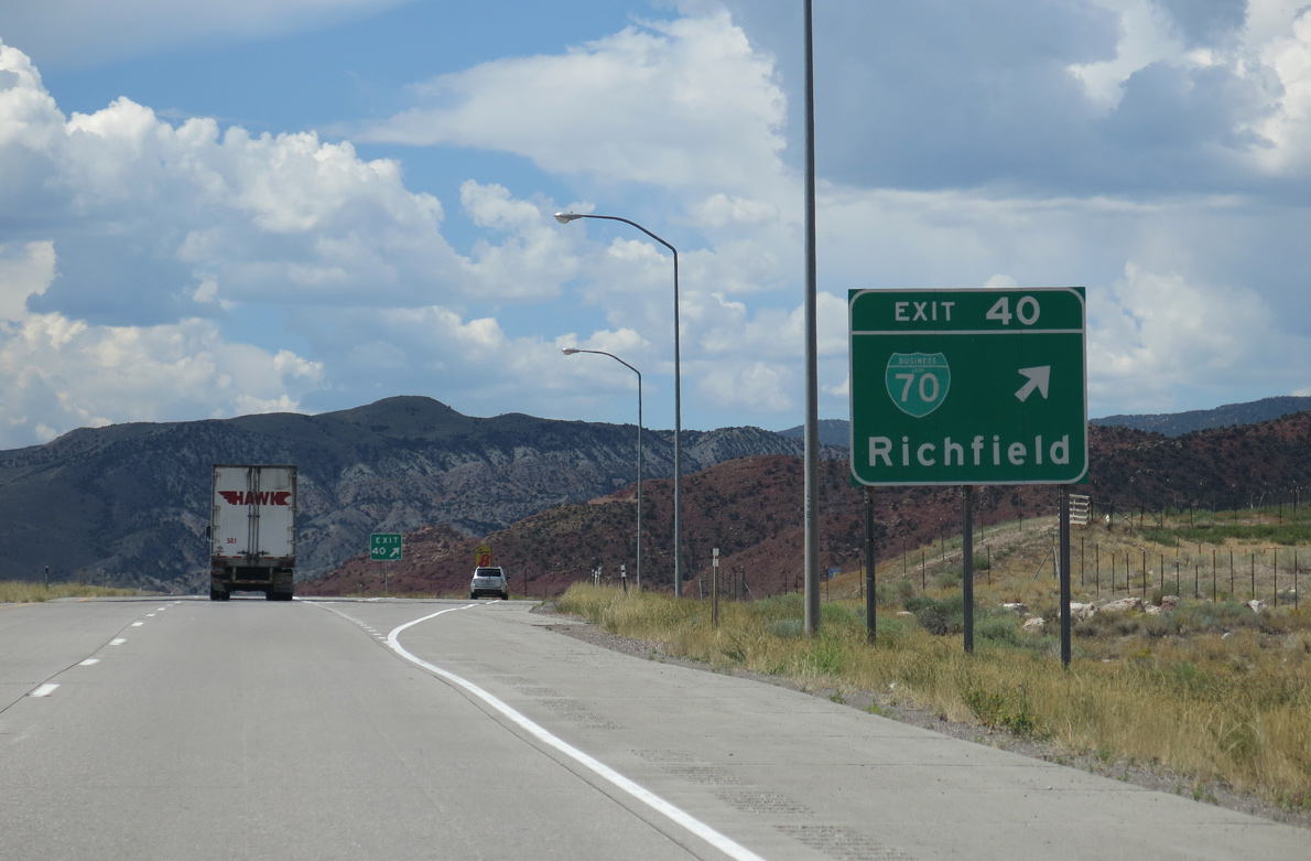
Entering the diamond interchange (Exit 40) with Business Loop I-70/SR 120 (Main Street) west on I-70/U.S. 89. SR 118, the pre-freeway route of U.S. 89, ties into Main Street along 300 North.
08/17/13
08/17/13
I-70/U.S. 89 run along the west side of Richfield between Sevier Valley Canal and Fishlake National Forest.
08/17/13
08/17/13
08/17/13
SR 118 overlaps with Business Loop I-70/SR 120 (Main Street) south 1.59 miles from Downtown Richfield to 1300 South, which returns the business route to I-70 at Exit 37.
08/17/13
08/17/13
Business Loop I-70/SR 120 (1300 South) east meet SR 118 (old U.S. 89) north of Richfield Municipal Airport (RIF). SR 118 continues south to Austin and Monroe.
08/17/13
08/17/13
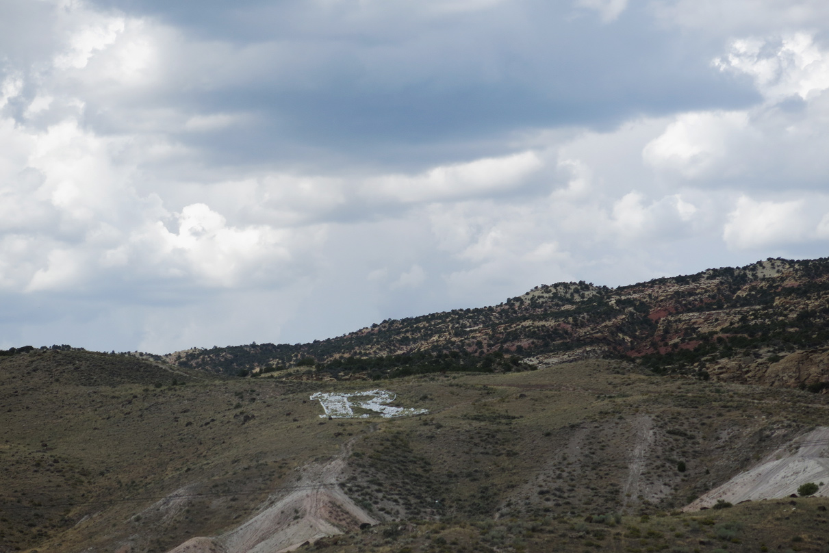
The letter R for Richfield appears on the foothills west of Interstate 70.
08/17/13
08/17/13
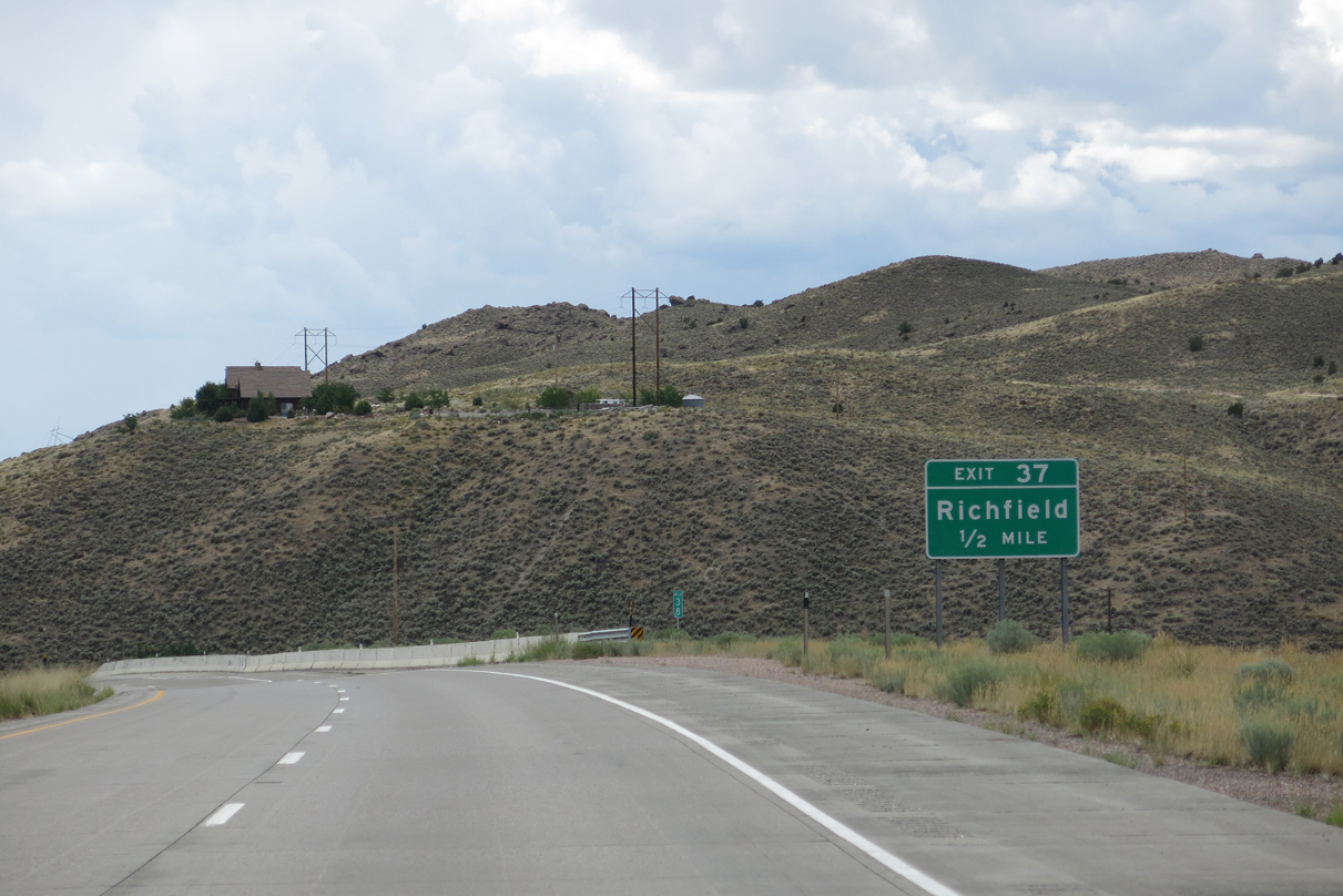
Red Hills Drive, the west side service road, ties into the diamond interchange at Exit 37 across from the end of Business Loop I-70/SR 120. College Avenu stems north from nearby to Snow College and the Sevier Valley Center.
08/17/13
08/17/13
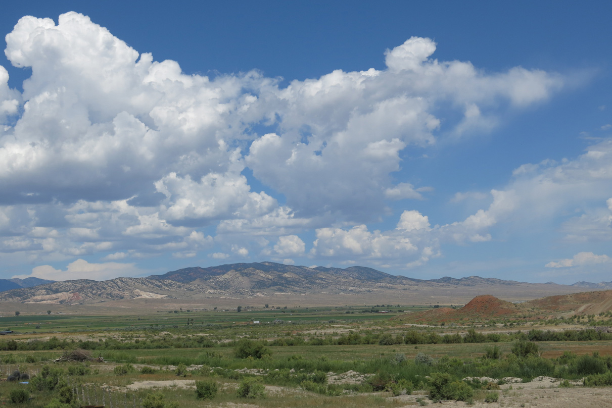
The Tushar Mountains rise beyond the south end of the Sevier River valley.
08/17/13
08/17/13
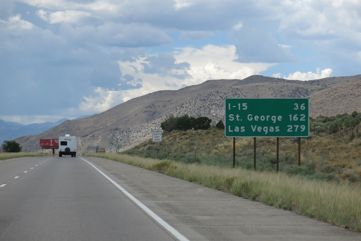
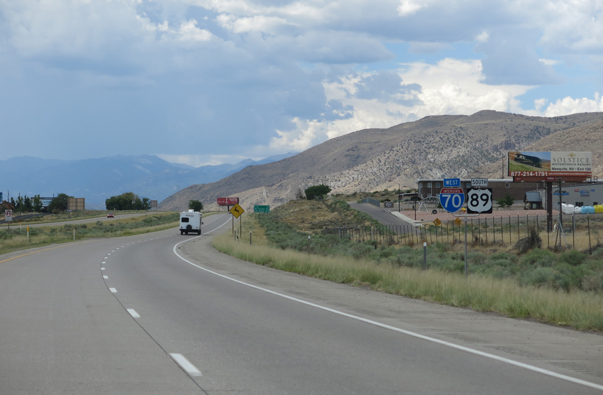
Located southwest of St. George along Interstate 15, Las Vegas, Nevada is the main control city for I-70 west of Richfield.
08/17/13
08/17/13
08/17/13
08/17/13
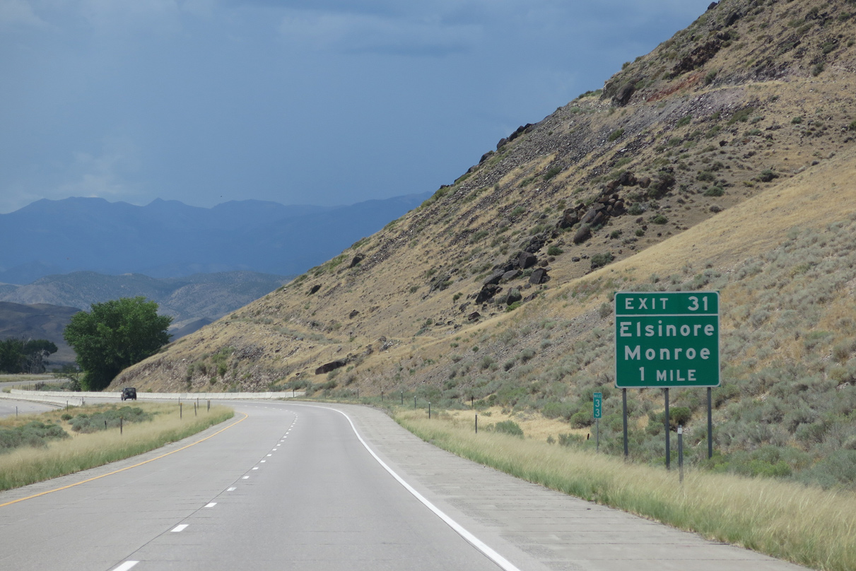
I-70/U.S. 89 enter the town of Elsinore ahead of the diamond interchange (Exit 31) with SR 258 (Main Street) east.
08/17/13
08/17/13
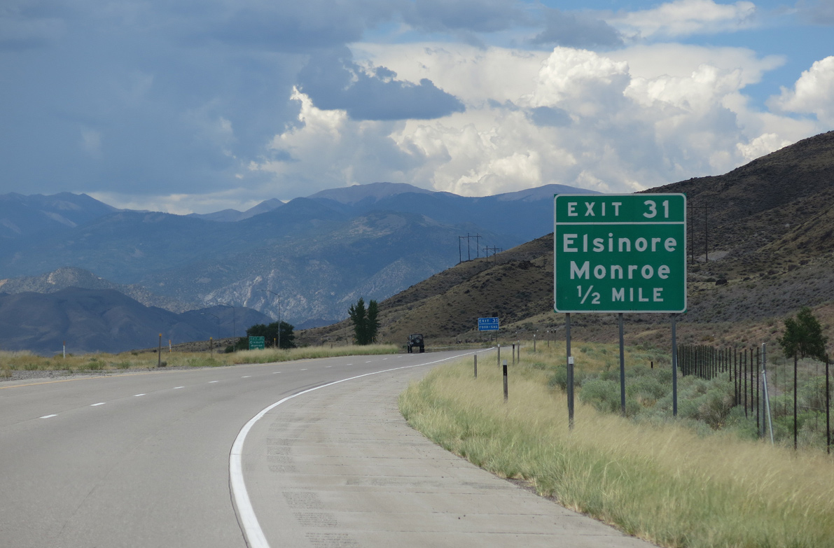
SR 258 constitutes a 2.03 mile long connector from Exit 31 to SR 118 on the east side of Elsinore. Old U.S. 89 stems south from Main Street along 300 West, continuing 9.29 miles to U.S. 89 at Sevier Junction.
08/17/13
08/17/13
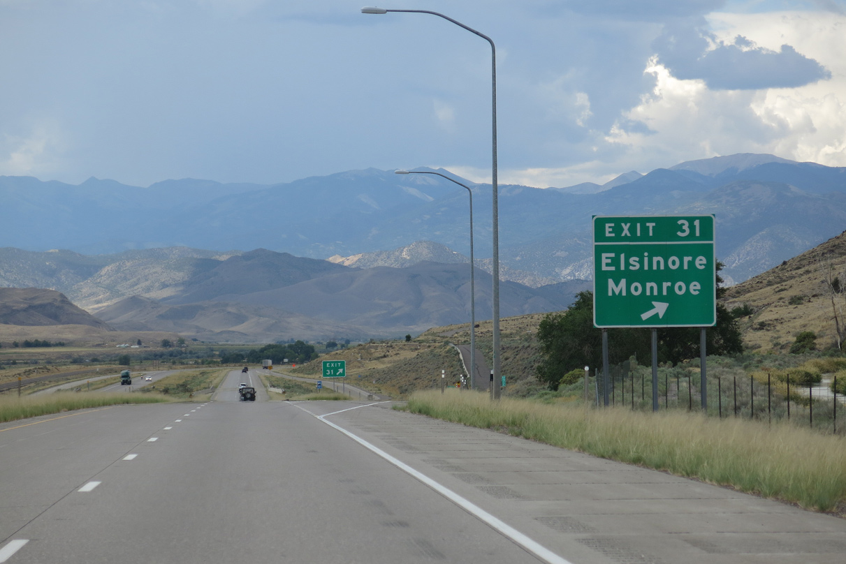
Exit 31 departs I-70/U.S. 89 west for Elsniore Mountain Road west and SR 258 (Main Street) east to SR 118 north for Central Valley and Annabella and SR 118 south to Austin and Monroe.
08/17/13
08/17/13
Continuing southwest toward Sargent Mountain (el. 8,855 feet) and Signal Peak (el. 11,289 feet) in the Tushar Mountains on I-70/U.S. 89.
08/17/13
08/17/13
Remaining west of Sevier Valley Canal, I-70/U.S. 89 straddle the eastern boundary of Fishlake National Forest along the Pavant Range foothills.
08/17/13
08/17/13
08/17/13
I-70/U.S. 89 arc southward onto Joseph Flats.
08/17/13
08/17/13
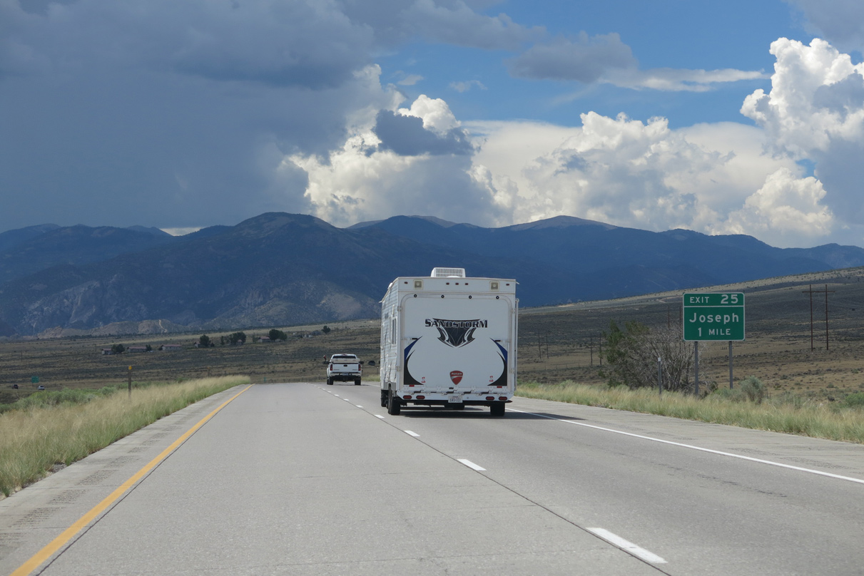
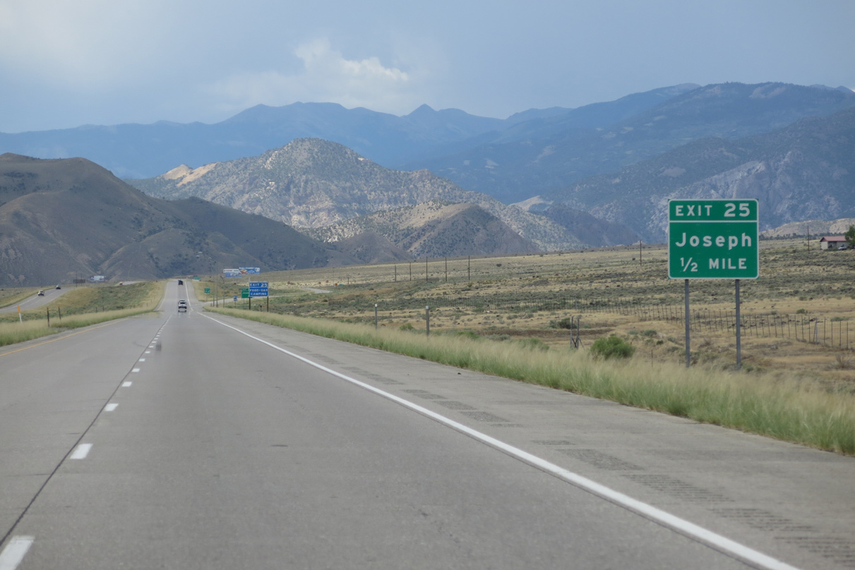
The succeeding exit along I-70/U.S. 89 west is with the south end of SR 118 in the town of Joseph.
08/17/13
08/17/13
UDOT inventories SR 118 as a 24.17 mile long route, but this excludes the overlap with Business Loop I-70 through Richfield. The state route east joins Joseph with the city of Monroe.
08/17/13
08/17/13
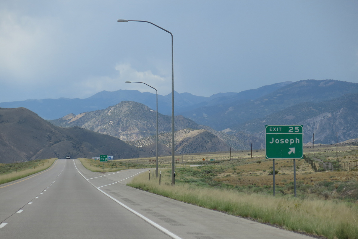
Joseph Mountain Road extends west from the diamond interchange (Exit 25) with SR 118 (Main Street) in Joseph toward Joseph Peak (el. 9,331 feet) in Fishlake National Forest.
08/17/13
08/17/13
08/17/13
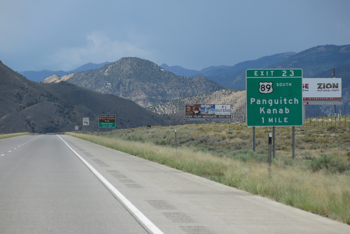
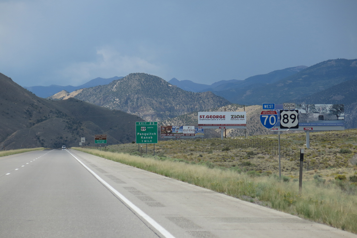
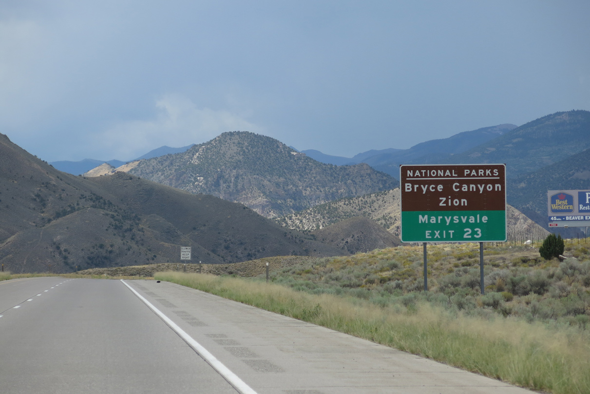
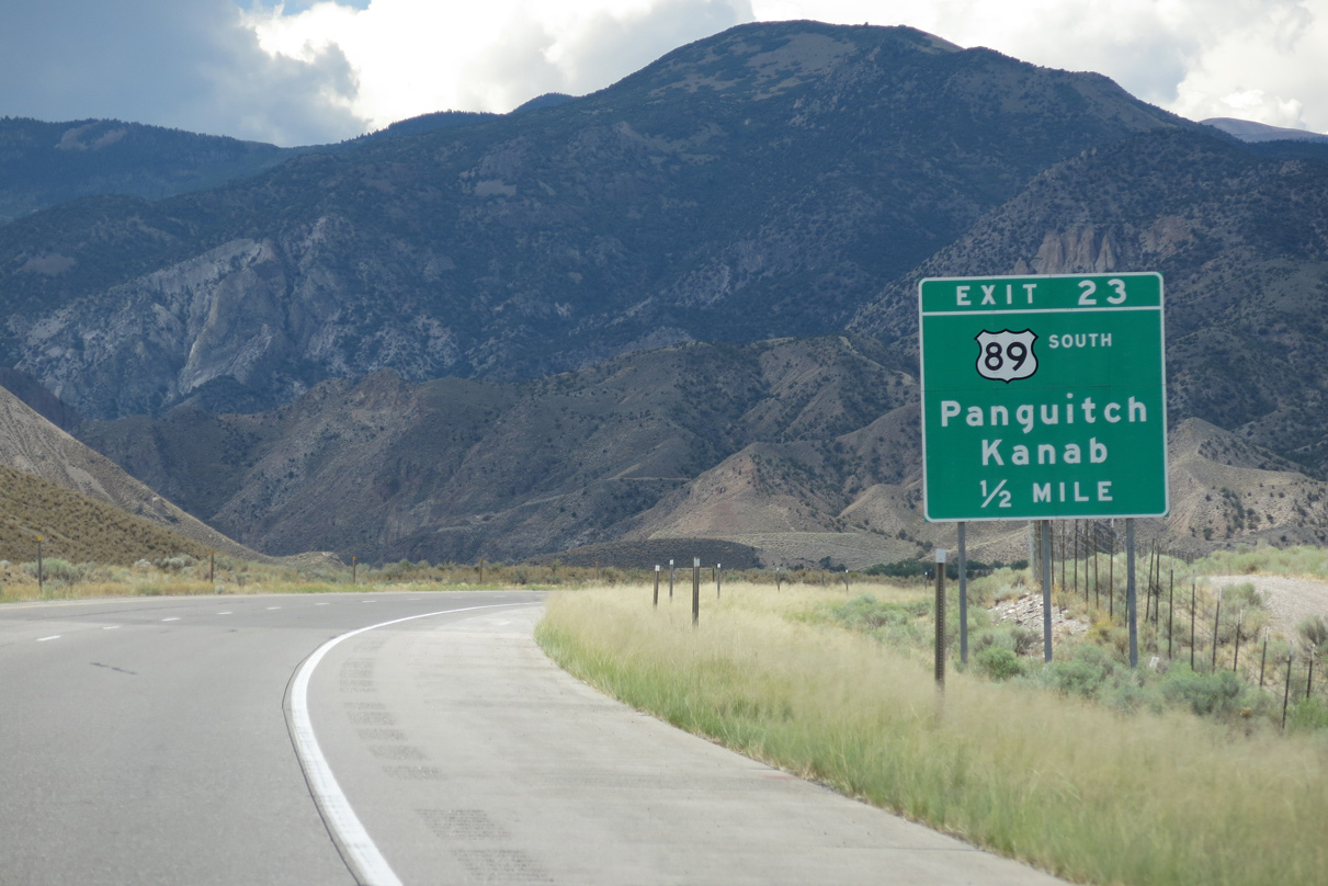
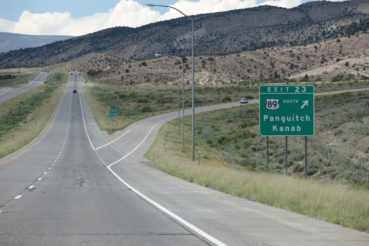
Advancing southwest from the Joseph Plats, U.S. 89 parts ways with Interstate 70 at a trumpet interchange (Exit 23) in one mile.
08/17/13
08/17/13
U.S. 89 south connects with SR 12 east of Panguitch to Bryce Canyon National Park. Zion National Park lies west of U.S. 89 via SR 9 from Mt. Carmel Junction.
08/17/13
08/17/13
U.S. 89 travels 12 miles south from Exit 23 to the town of Marysville, 27 miles to the town of Junction, and 60 miles to the city of Panguitch.
08/17/13
08/17/13
South from Exit 23, U.S. 89 reaches the city of Kanab near the Arizona state line in 127 miles and concludes in 330 miles at U.S. 180 in Flagstaff, Arizona. Sevier Highway (old U.S. 89) ties onto U.S. 89 just south of I-70 at Clear Creek Canyon Road (former SR 4).
08/17/13
08/17/13
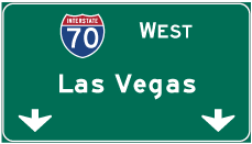
Photo Credits:
- Andy Field: 08/17/13
Connect with:
Page Updated Wednesday February 23, 2022.