
Interstate 70 West - Salina to K-156

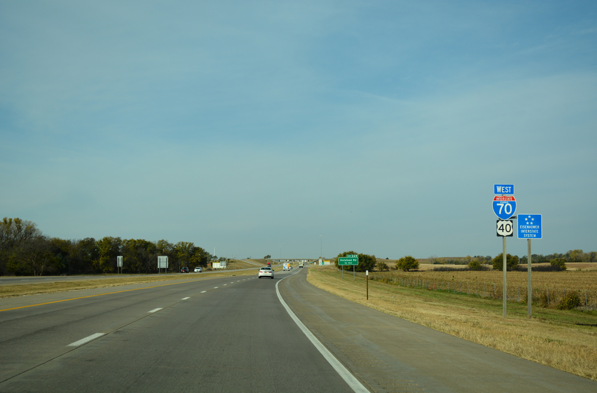
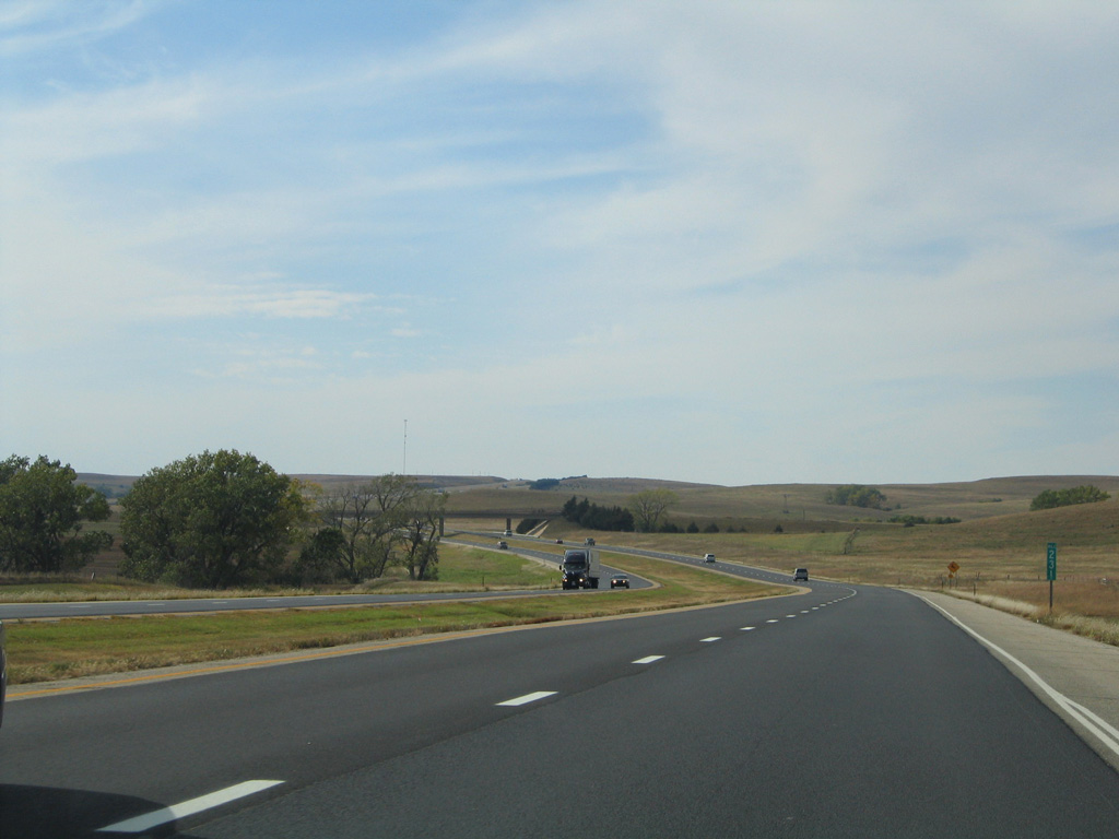
I-70/U.S. 40 west of the Halstead Street overpass at Exit 249 near Salina, Kansas. - 11/01/2016

 West
West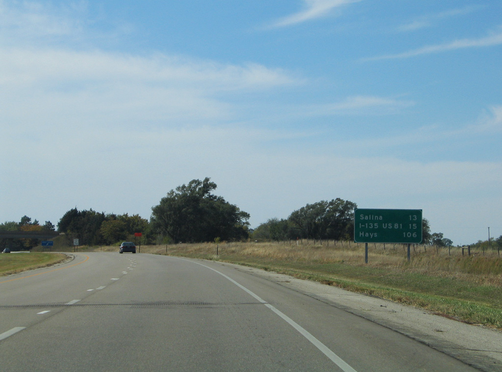
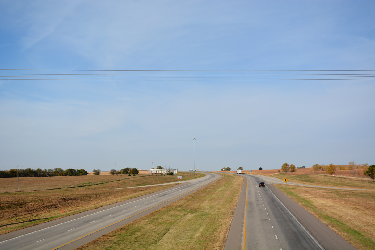
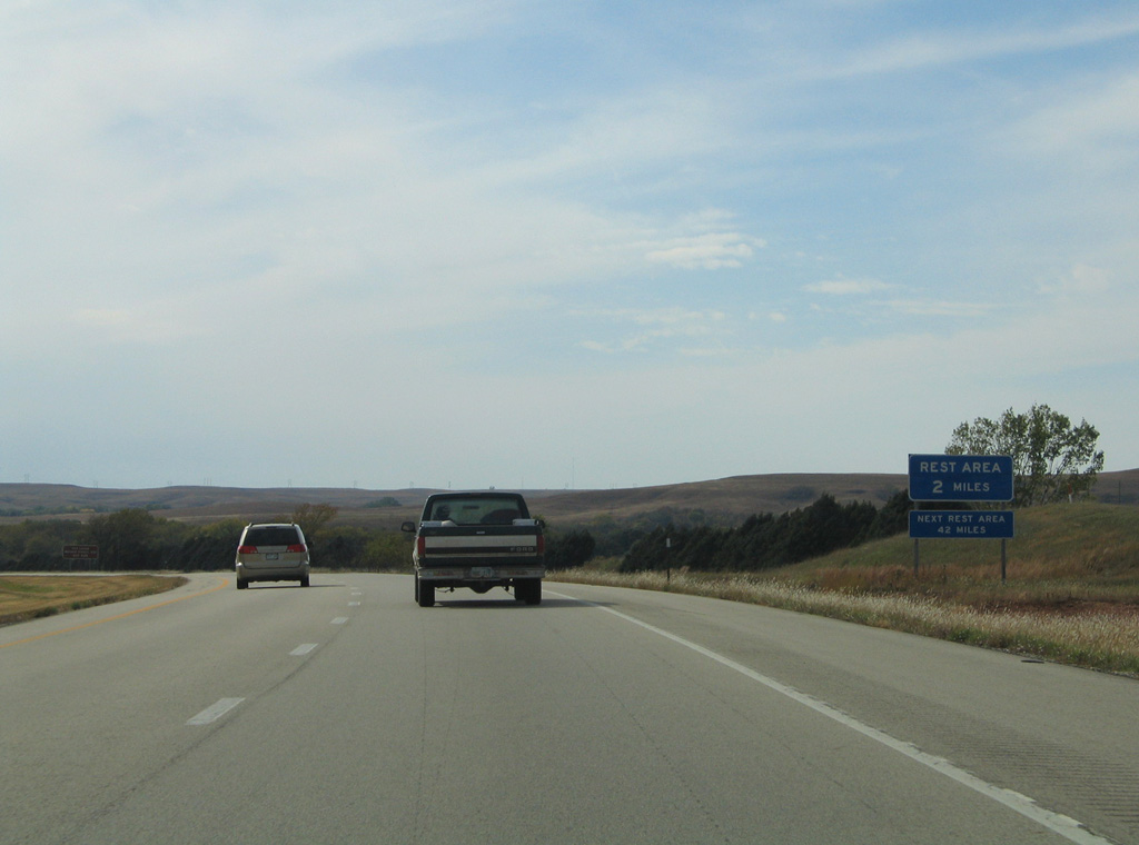
Rest areas line both sides of I-70/U.S. 40 between the Amos Road overpass and mile marker 265.
10/17/04
10/17/04

Leading southwest to New Cambria, Old Highway 40 parallels a Union Pacific Railroad line south of I-70/U.S. 40.
10/17/04
10/17/04
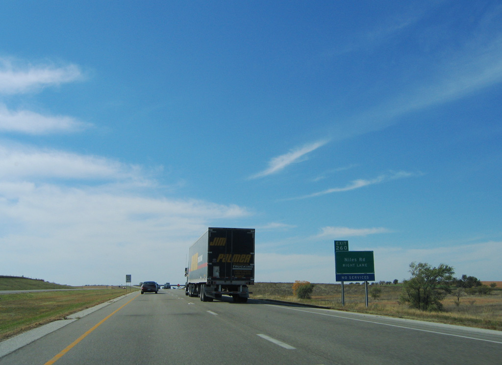
Niles Road heads 1.5 miles north from Old Highway 40 to the diamond interchange with I-70/U.S. 40 at Exit 260.
10/17/04
10/17/04
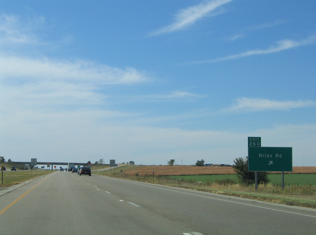
Niles Road extends 3.5 mile north from Exit 260 to the Ottawa County line, where it becomes 240th Road en route to Arrowhead Road west of Niles.
10/17/04
10/17/04
10/17/04
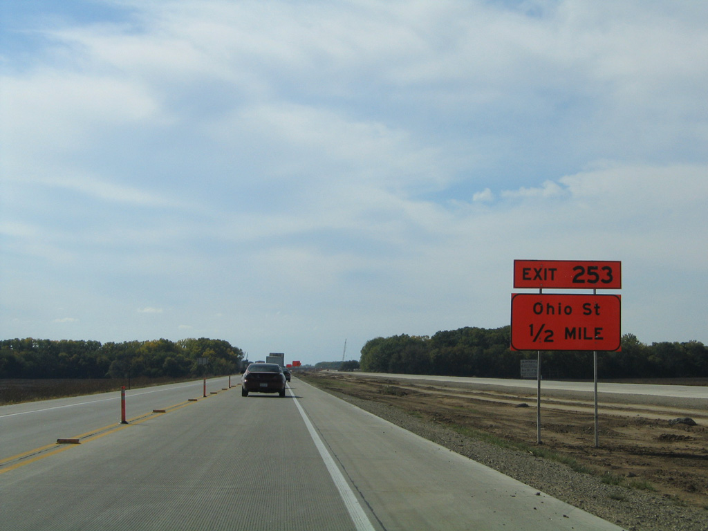
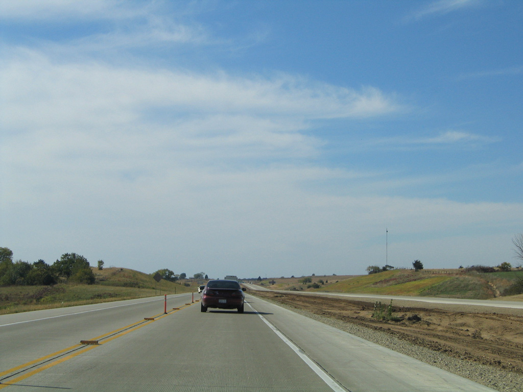
Angling southwest ahead of the Saline River, the succeeding exit from I-70/U.S. 40 is for Ohio Street.
10/17/04
10/17/04
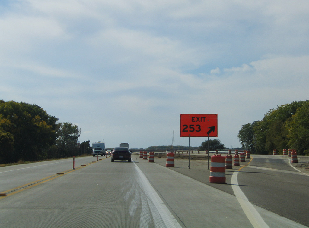
The diamond interchange (Exit 253) with Ohio Street lines northeastern reaches of the Salina city limits.
10/17/04
10/17/04
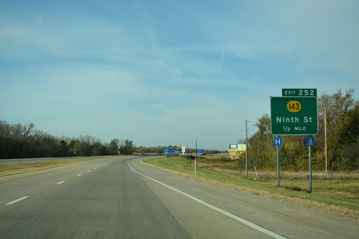
9th Street and K-143 through north Salina represent the pre-freeway alignment of U.S. 81.
11/01/16
11/01/16
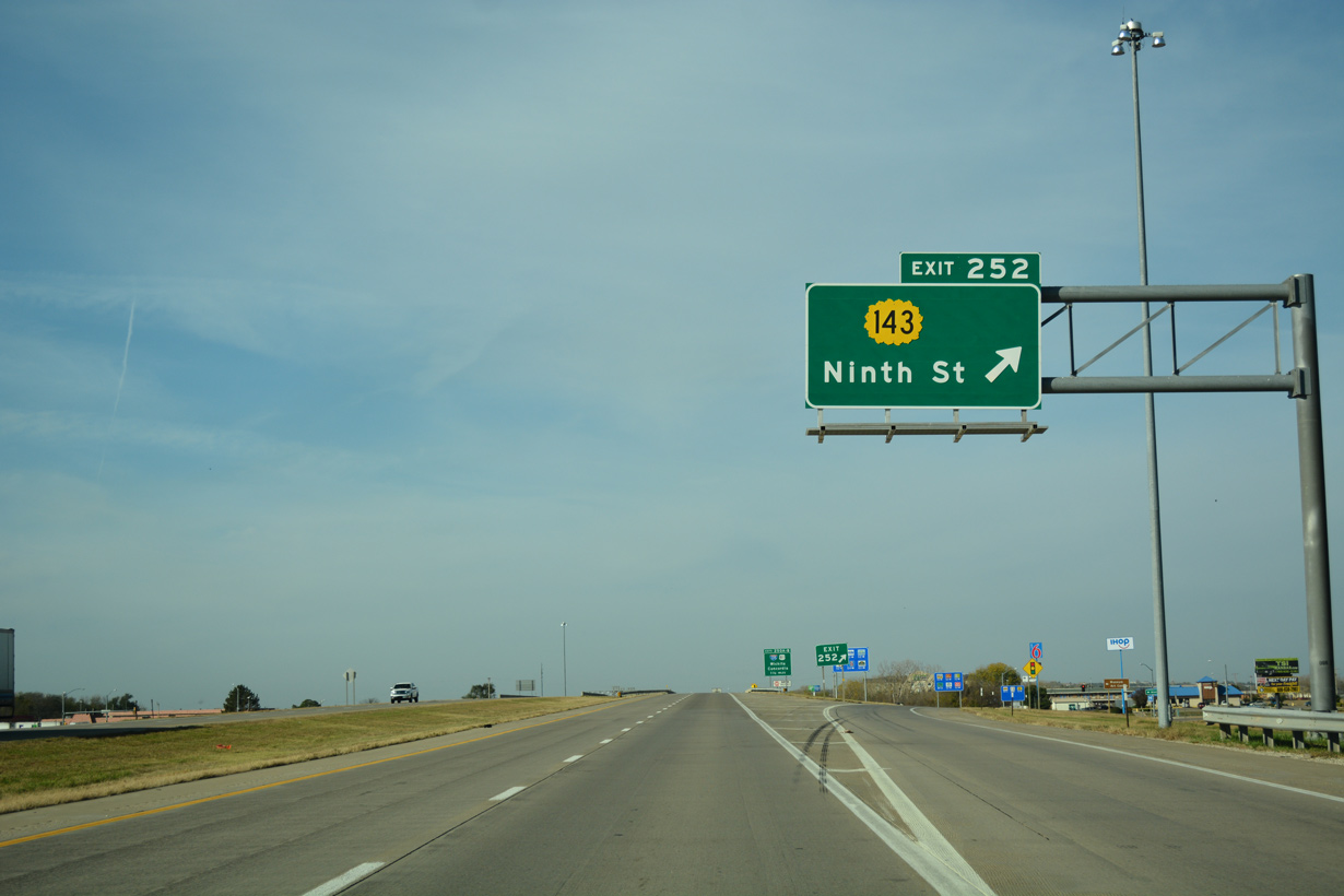
K-143 forms a 4.66 mile long loop northwest from Exit 252 to U.S. 81. Ninth Street (old U.S. 81) south leads to Downtown Salina.
11/01/16
11/01/16
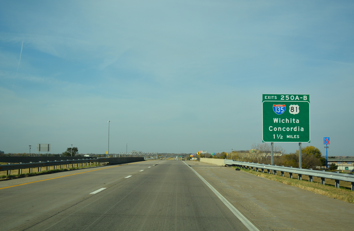
I-70/U.S. 40 advance 1.5 miles west from K-143 (Ninth Street) to a cloverleaf interchange (Exit 250) with I-135 south and U.S. 81.
11/01/16
11/01/16
11/01/16
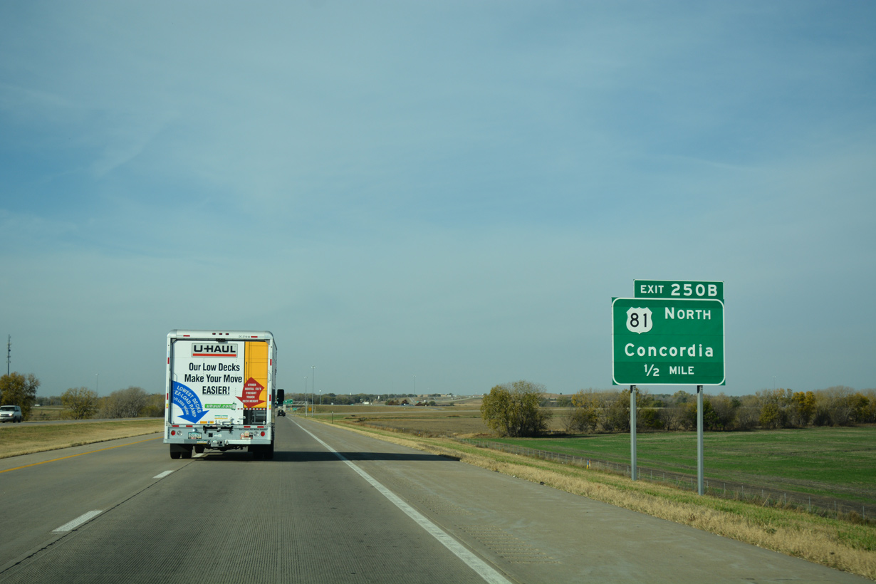
U.S. 81 continues north from the end of I-135 at Exit 250 along a freeway 17.2 miles to K-106 near the Ottawa County seat of Minneapolis.
11/01/16
11/01/16
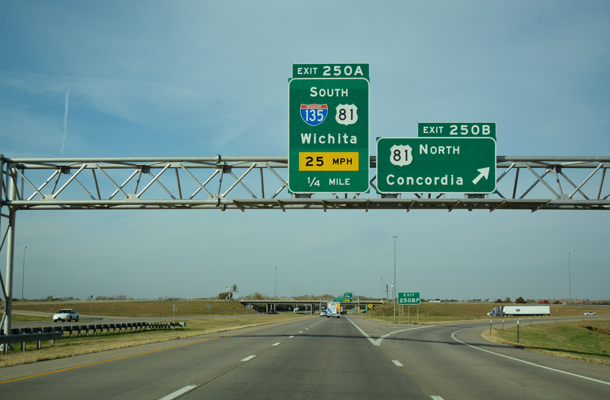
U.S. 81 travels north from Salina along an expressway to Concordia and south alongside Interstate 135 to .McPherson, Newton and Wichita.
11/01/16
11/01/16
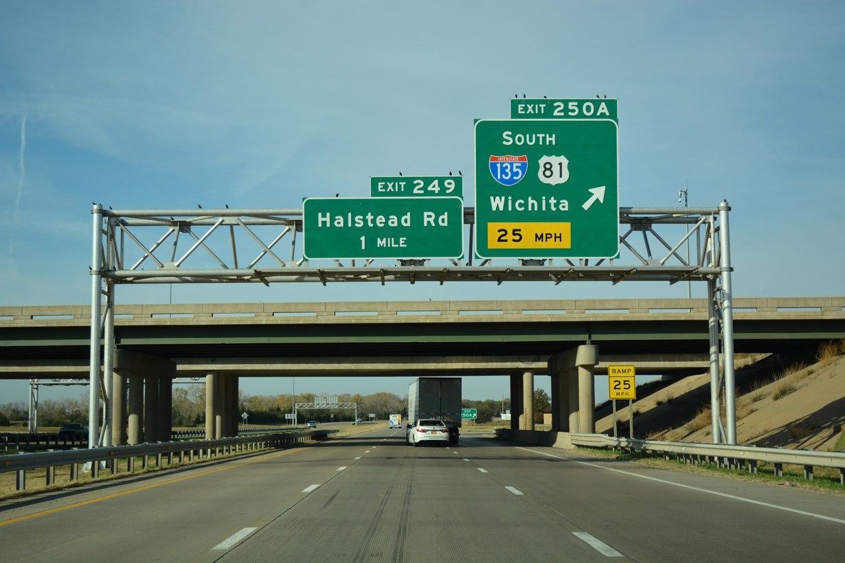
Measuring 95.74 miles in length, Interstate 135 runs south from I-70 and Salina to I-35 (Kansas Turnpike) at the South Area of Wichita.
11/01/16
11/01/16
11/01/16
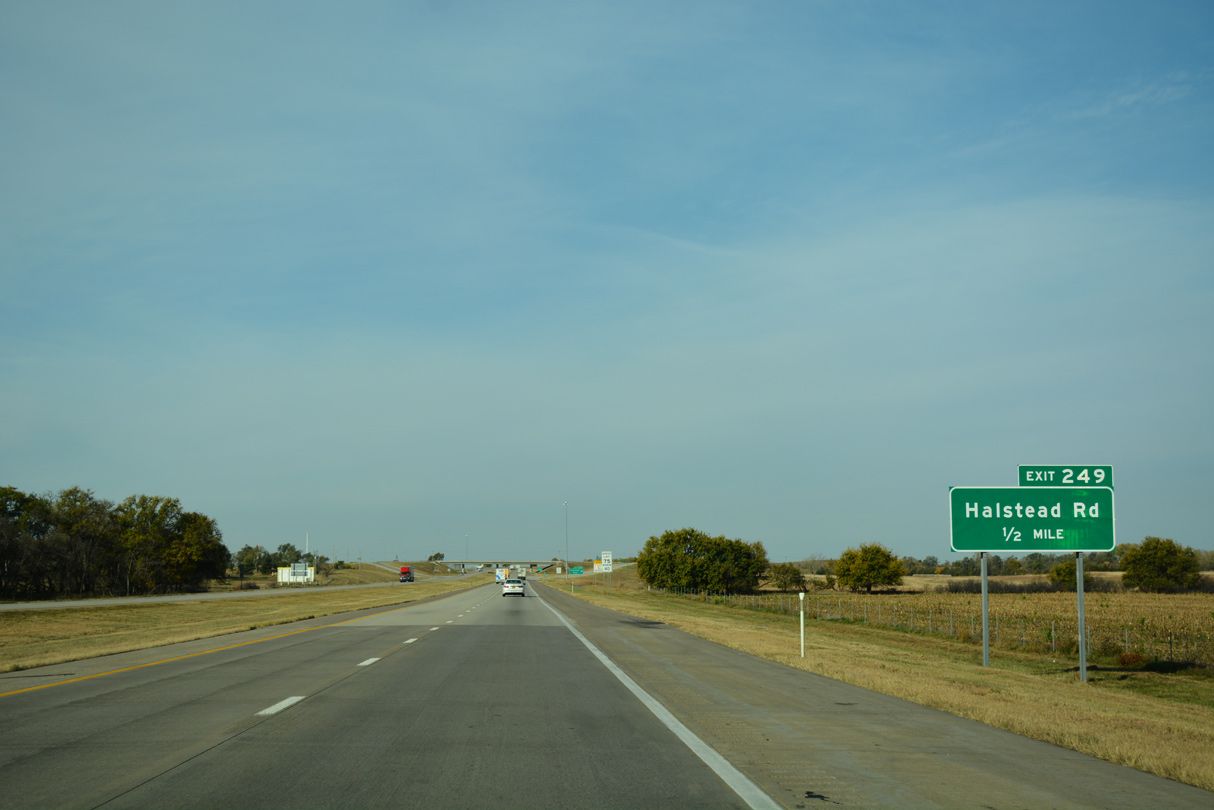
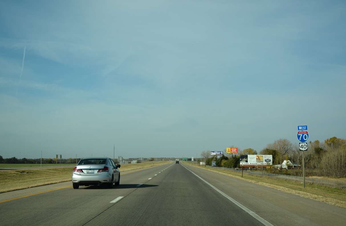
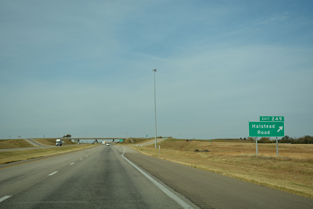
I-70/U.S. 40 shift northward from I-135/U.S. 81 to a diamond interchange (Exit 249) with Halstead Road.
11/01/16
11/01/16
11/01/16

10/17/04

10/17/04

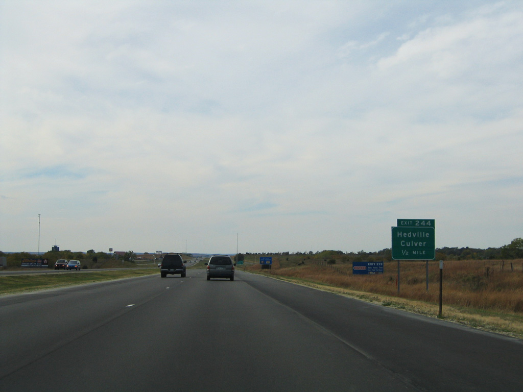
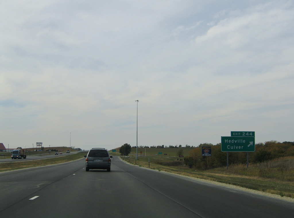
Hedville Road heads north from Rolling Hills Zoo and the unincorporated community of Hedville to the diamond interchange with I-70/U.S. 40 at Exit 244.
10/17/04
10/17/04
The rural city of Culver lies 6.5 miles to the north from Exit 244 in Ottawa County.
10/17/04
10/17/04
10/17/04

Continuing west, I-70/U.S. 40 meet Brookville Road at a diamond interchange (Exit 238) 1.5 miles south of Glendale.
10/17/04
10/17/04
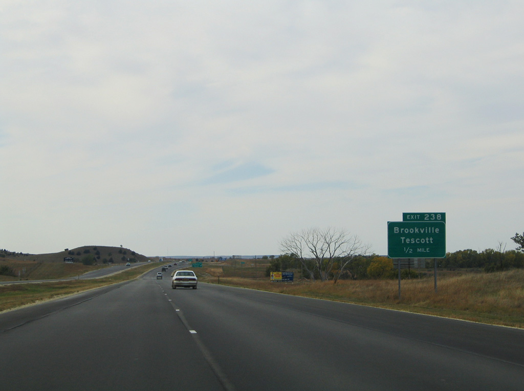
The city of Brookville lies seven miles south of Exit 238 along K-140 (old U.S. 40).
10/17/04
10/17/04

The city of Tescott is nine miles to the north along K-18 in Ottawa County.
10/17/04
10/17/04
10/17/04
10/17/04
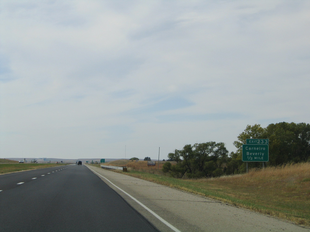
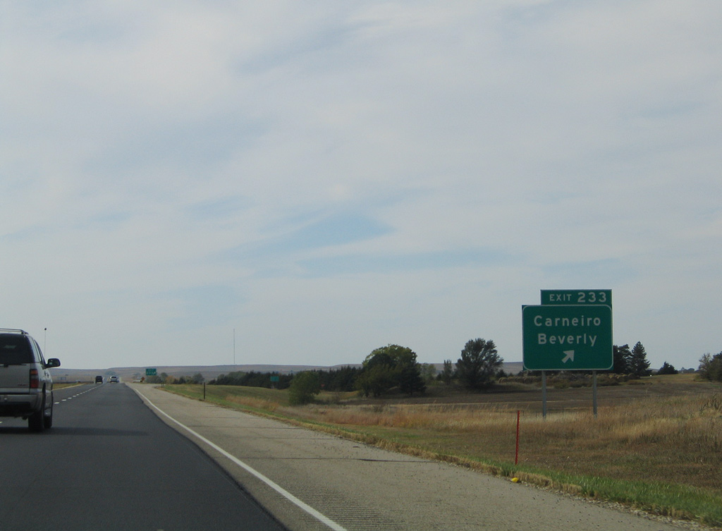
A 7.8 mile long exit less stretch ensues west from the 290th Street entrance ramp at Exit 233.
10/17/04
10/17/04
10/17/04
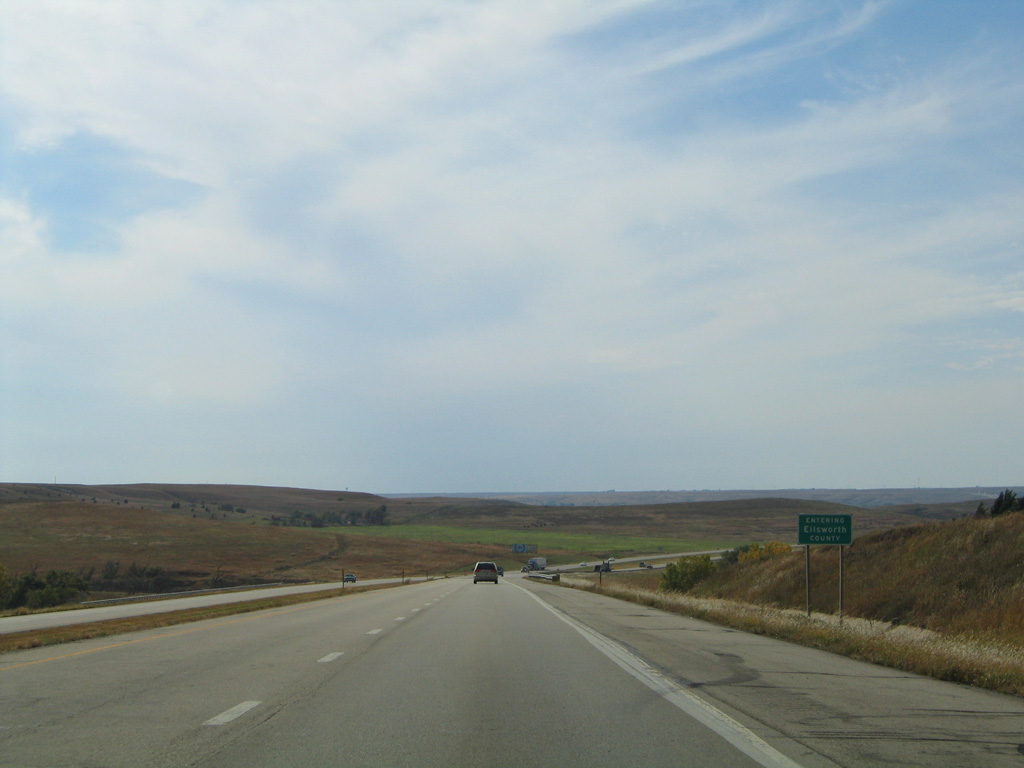
I-70/U.S. 40 runs 7.25 miles across southeastern Lincoln County into northern Ellsworth County.
10/17/04
10/17/04
10/17/04

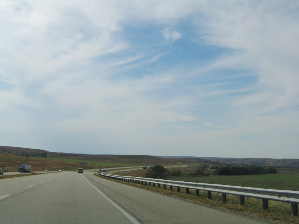
I-70/U.S. 40 navigate through a number of S-curves west into a broad valley fed by East Elkhorn Creek.
10/17/04
10/17/04
10/17/04
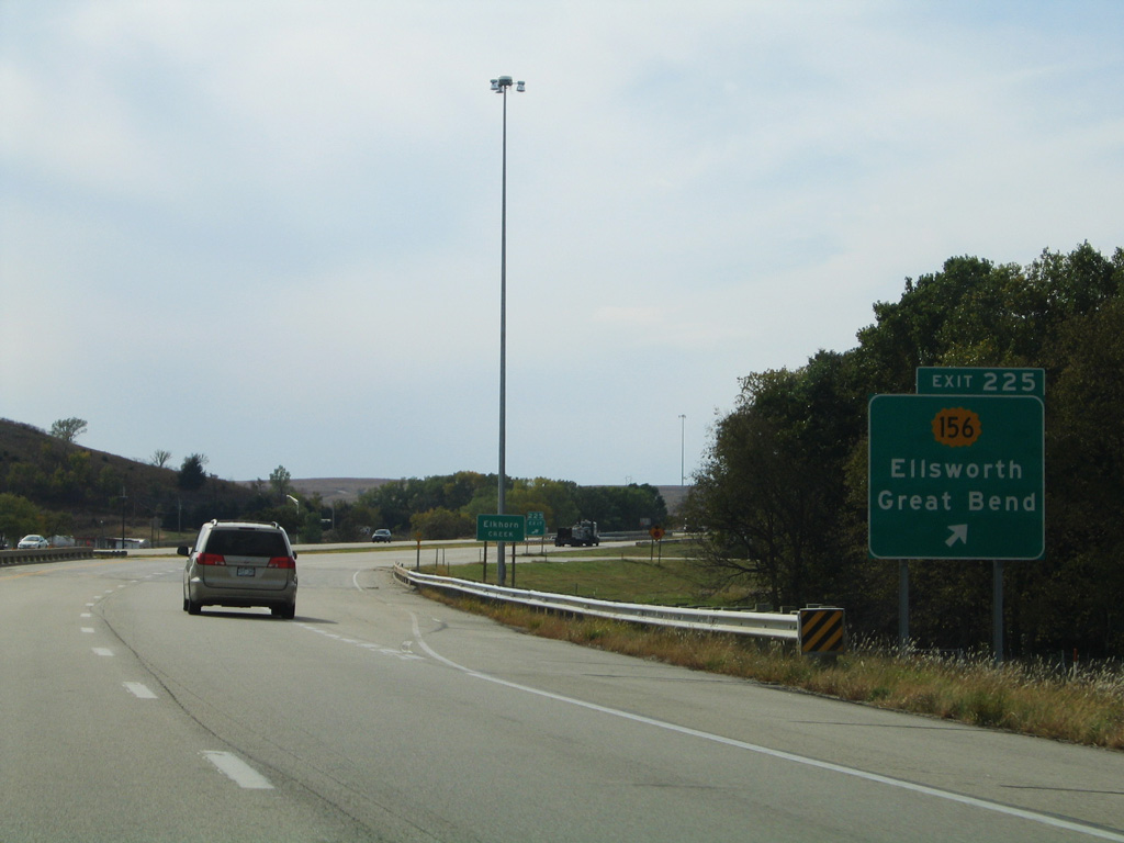
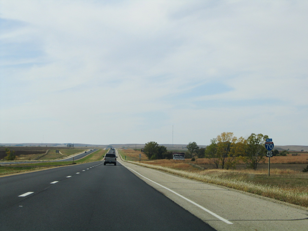
The diamond interchange at Exit 225 joins I-70/U.S. 40 with the east end of K-156. Traveling 176.31 miles overall, K-156 runs southwest to Ellsworth, Great Bend and Garden City over the former route of U.S. 156.
10/17/04
10/17/04
Photo Credits:
- AARoads: 10/17/04
- Alex Nitzman, JP Nasiatka: 11/01/16
Connect with:
Page Updated Monday November 08, 2021.