
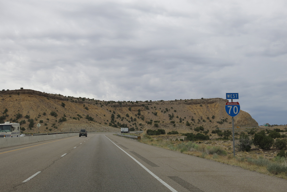
Interstate 70 San Rafael Swell West - Spotted Wolf Canyon to Eagle Canyon


 West
West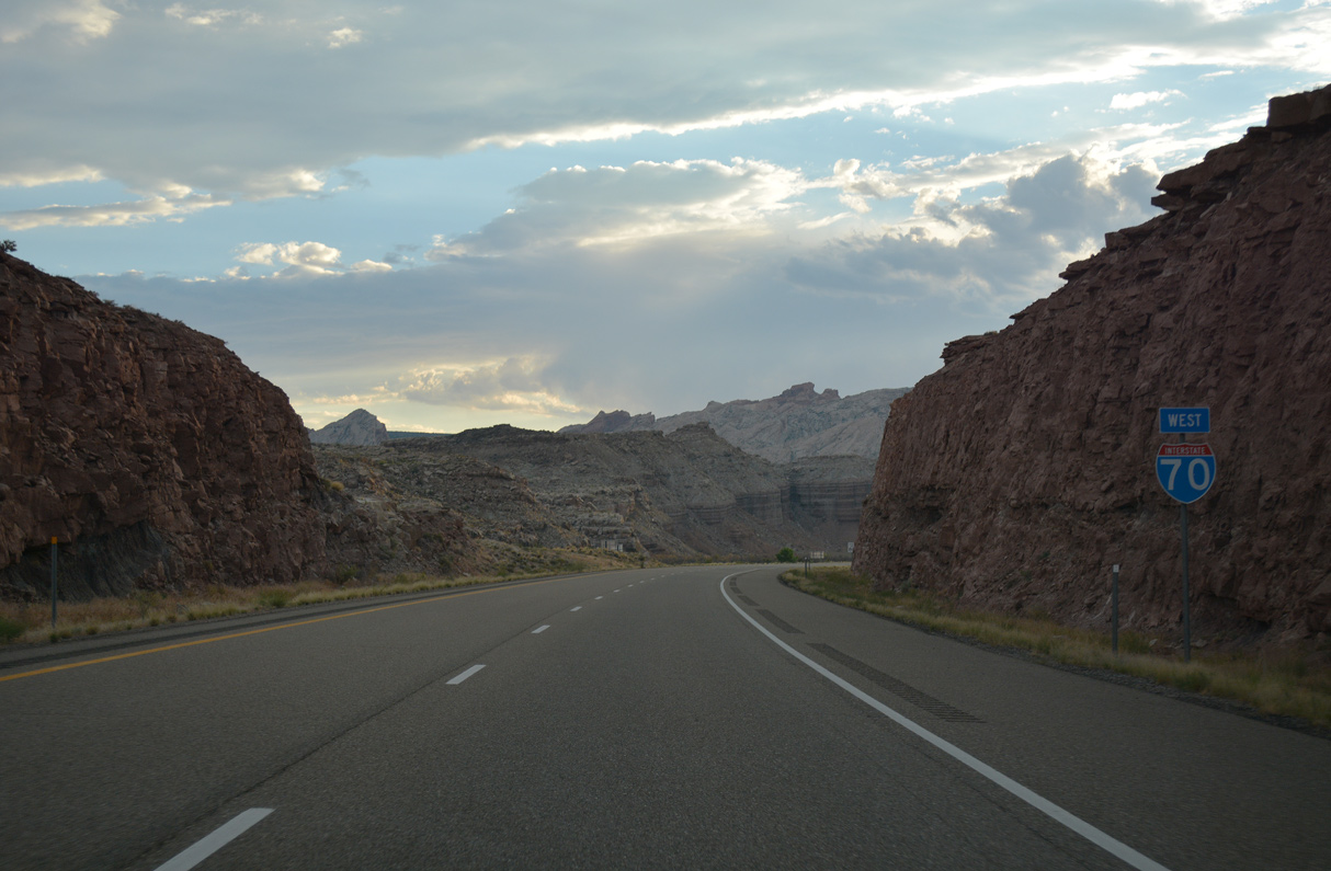
07/15/17

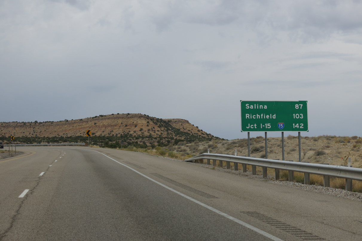
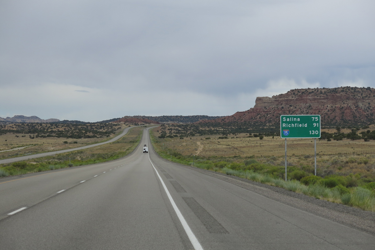
Interstate 70 travels 93 miles west from SR 24 to Salina and 109 miles to Richfield.
08/17/13
08/17/13
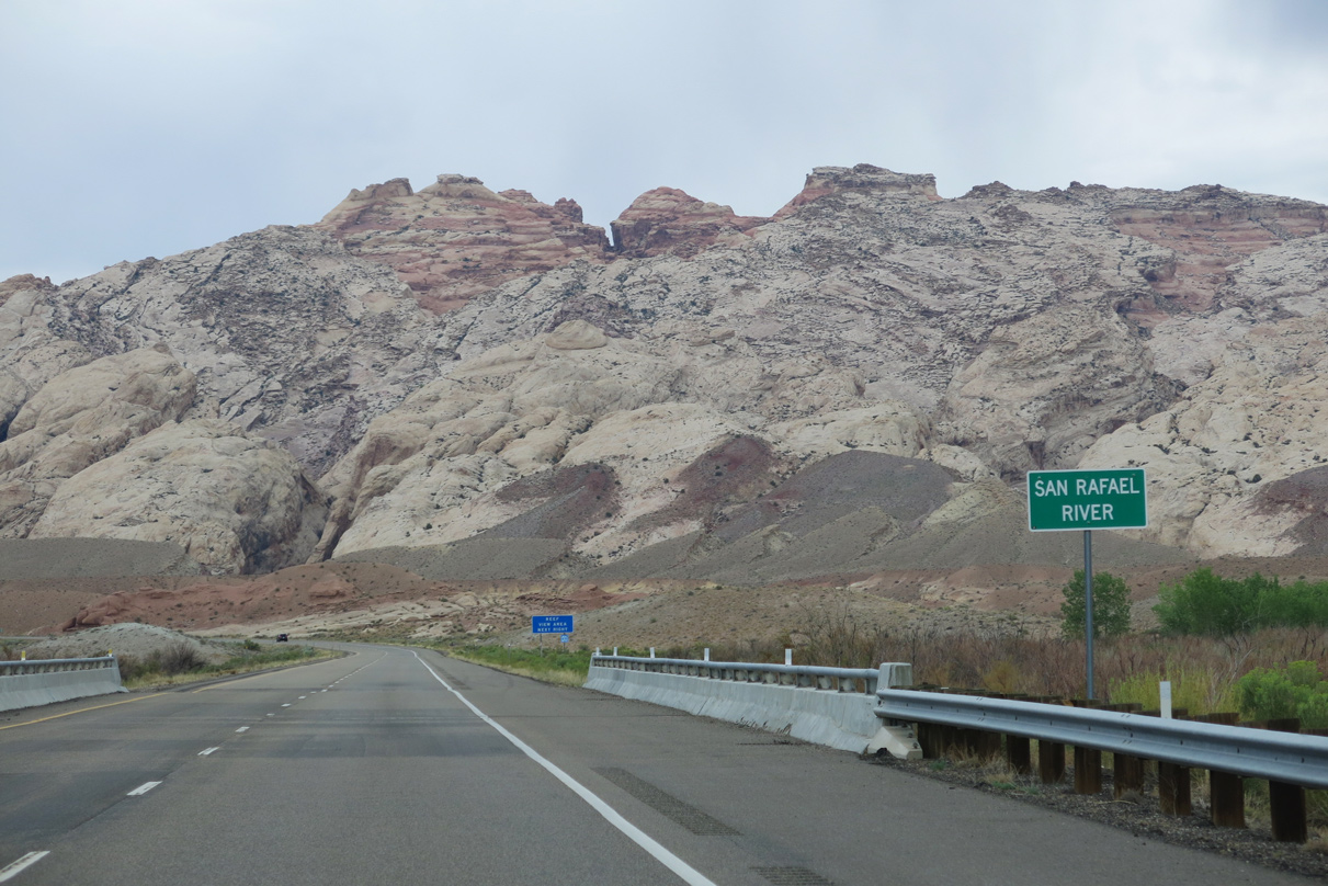
I-70/U.S. 50 span the San Rafael River beyond mile marker 148 at Tidwell Bottoms.
08/17/13
08/17/13
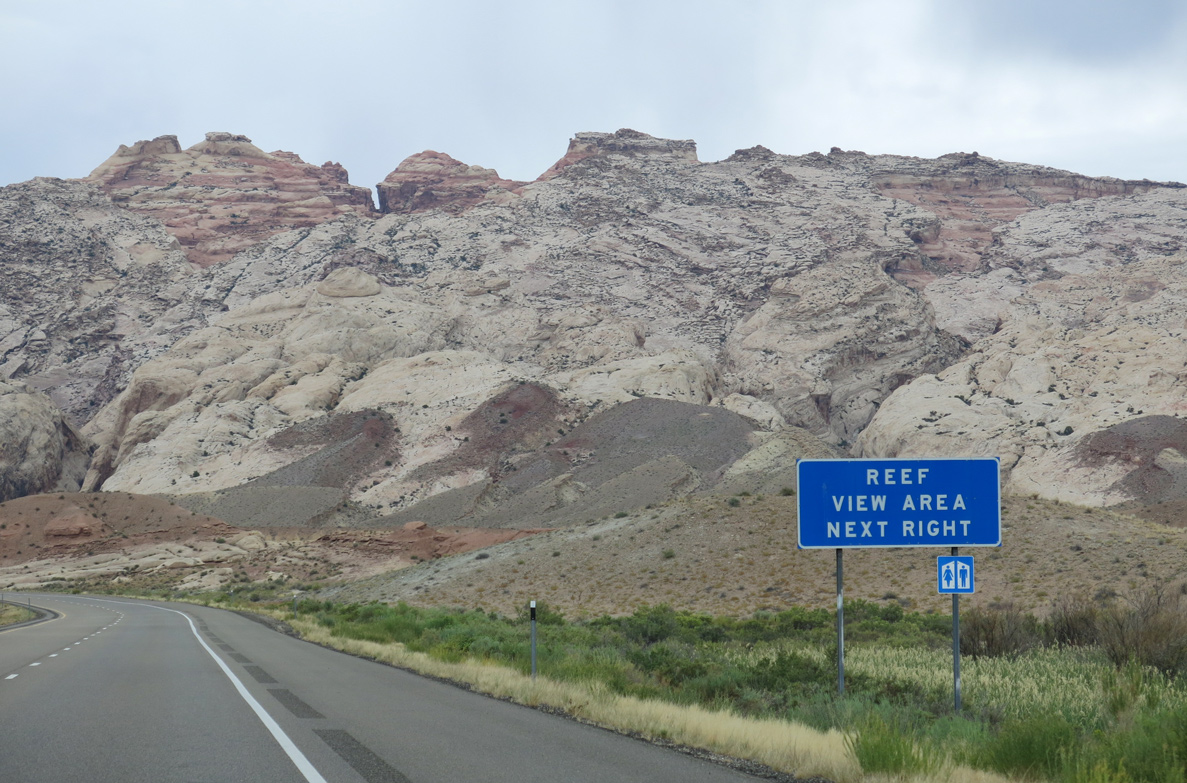
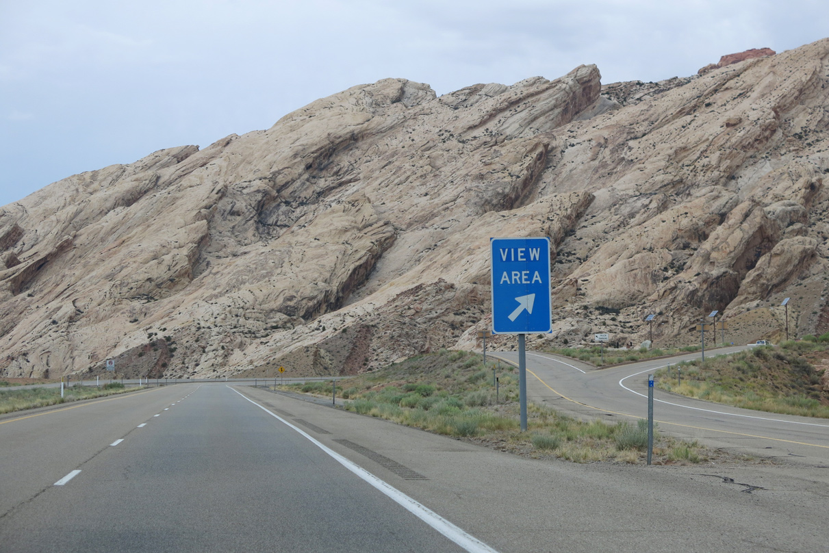
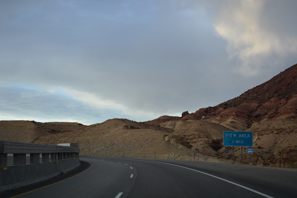
The San Rafael Reef view area replaced a rest area along I-70 westbound at mile marker 146. The eastbound area by The Squeeze was removed.
08/17/13
08/17/13
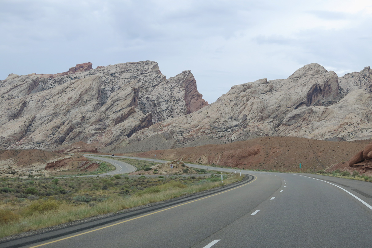
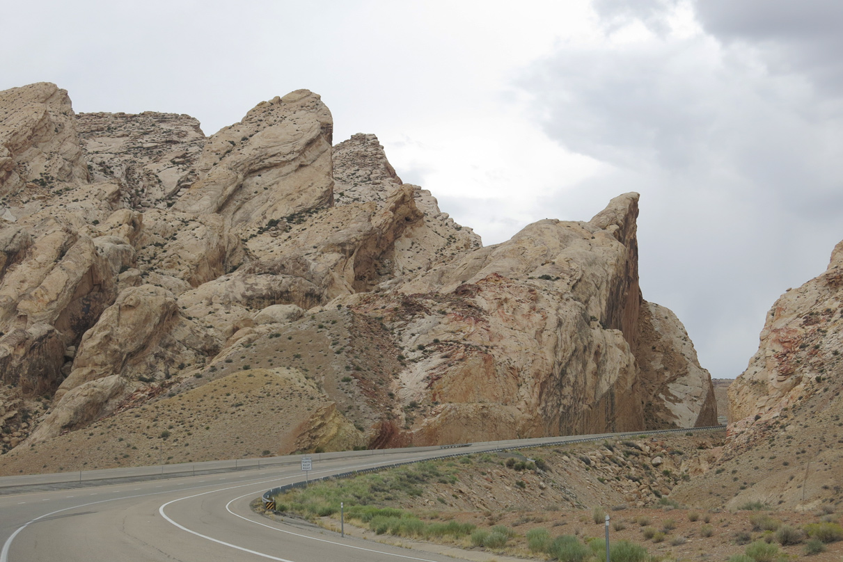
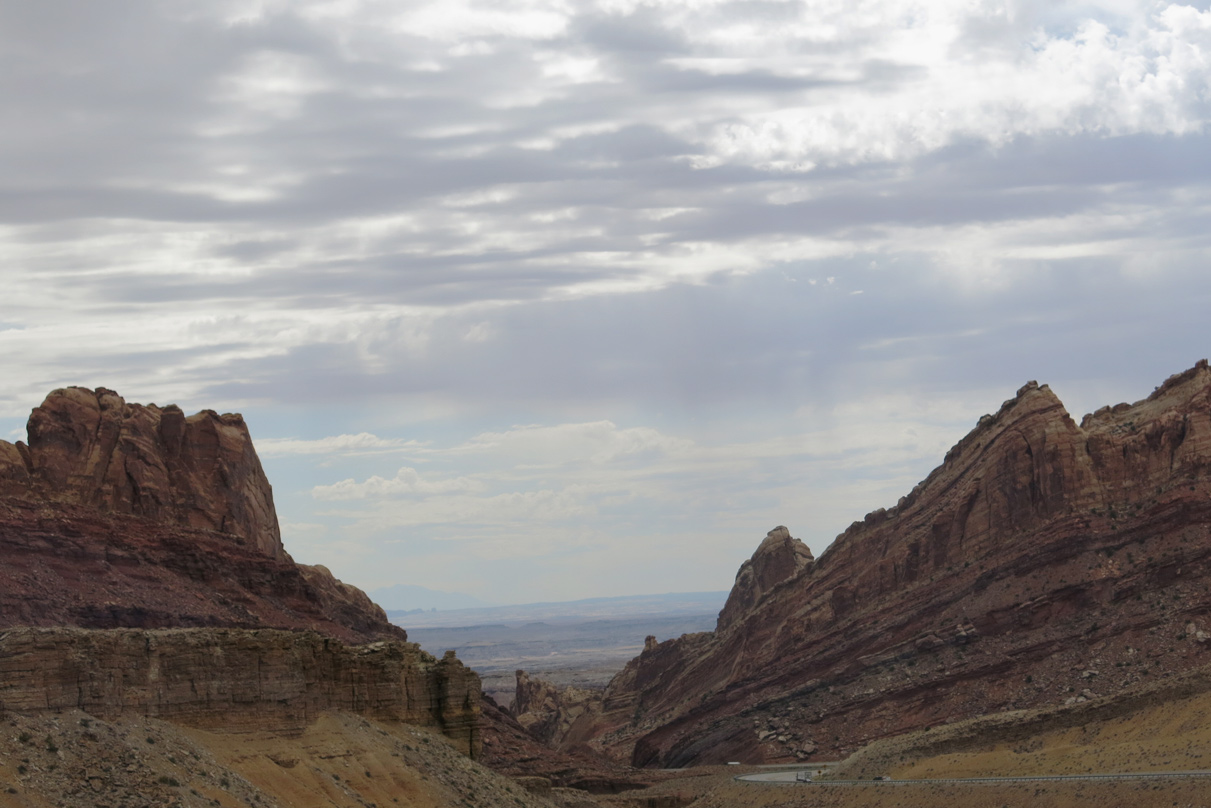
The opening of San Rafael Reef at Spotted Wolf Canyon appears.
08/17/13
08/17/13
08/17/13
08/17/13
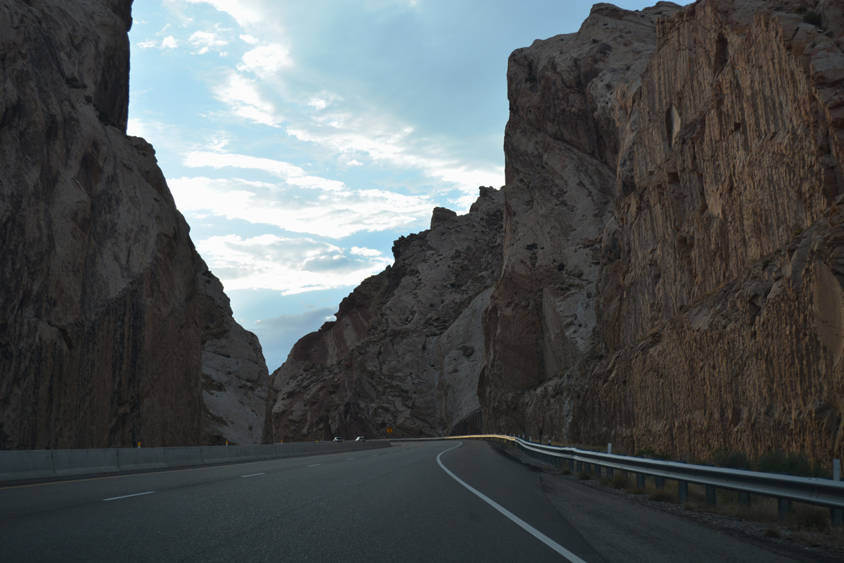
Interstate 70 westbound climbs over 500 feet in elevation through Spotted Wolf Canyon.
07/15/17
07/15/17

08/17/13
07/15/17
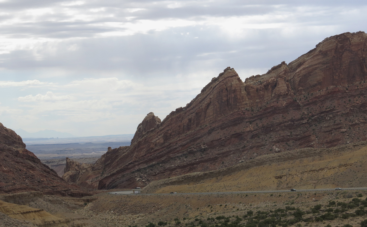
Looking back to the southeast at Interstate 70 through Spotted Wolf Canyon.
08/17/13
08/17/13
08/17/13
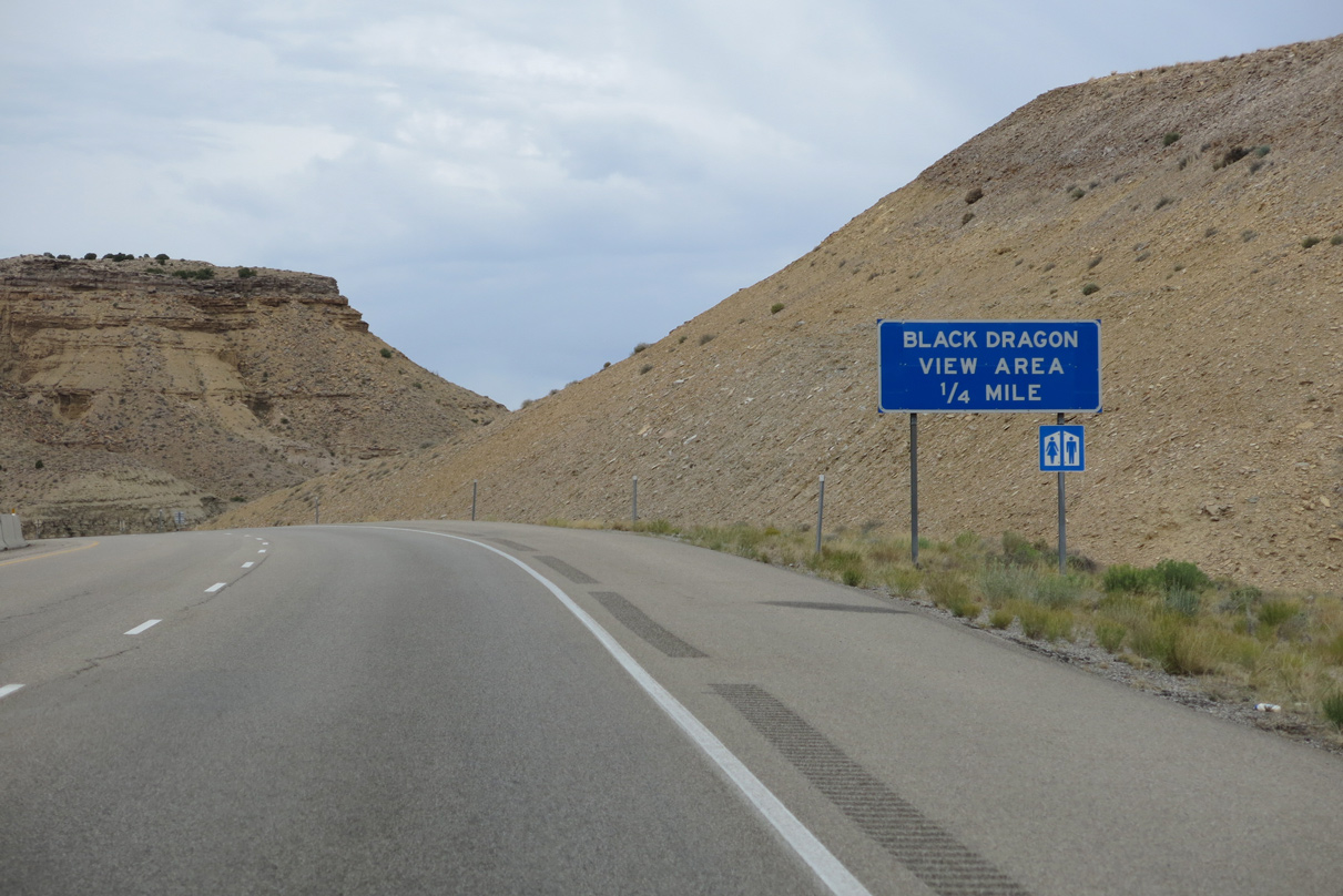
The Black Dragon view area is next along I-70/U.S. 50 westbound at mile marker 143.
07/15/17
07/15/17
08/17/13
08/17/13
08/17/13
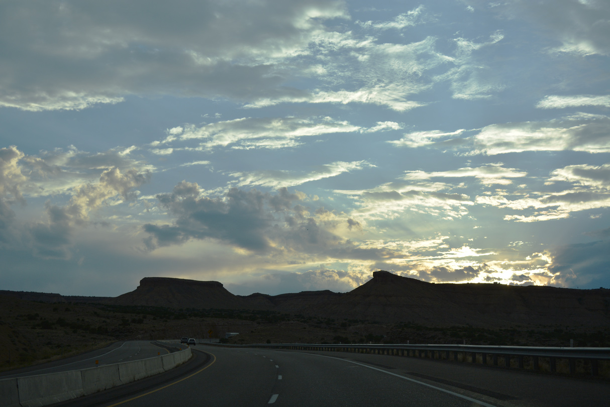
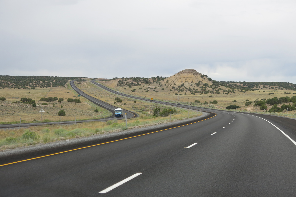
Turning south, I-70/U.S. 50 navigate through a series of S-curves to Rattlesnake Flat and Rattlesnake Bench.
08/17/13
08/17/13
08/17/13
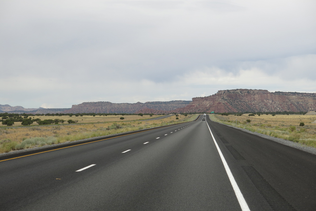
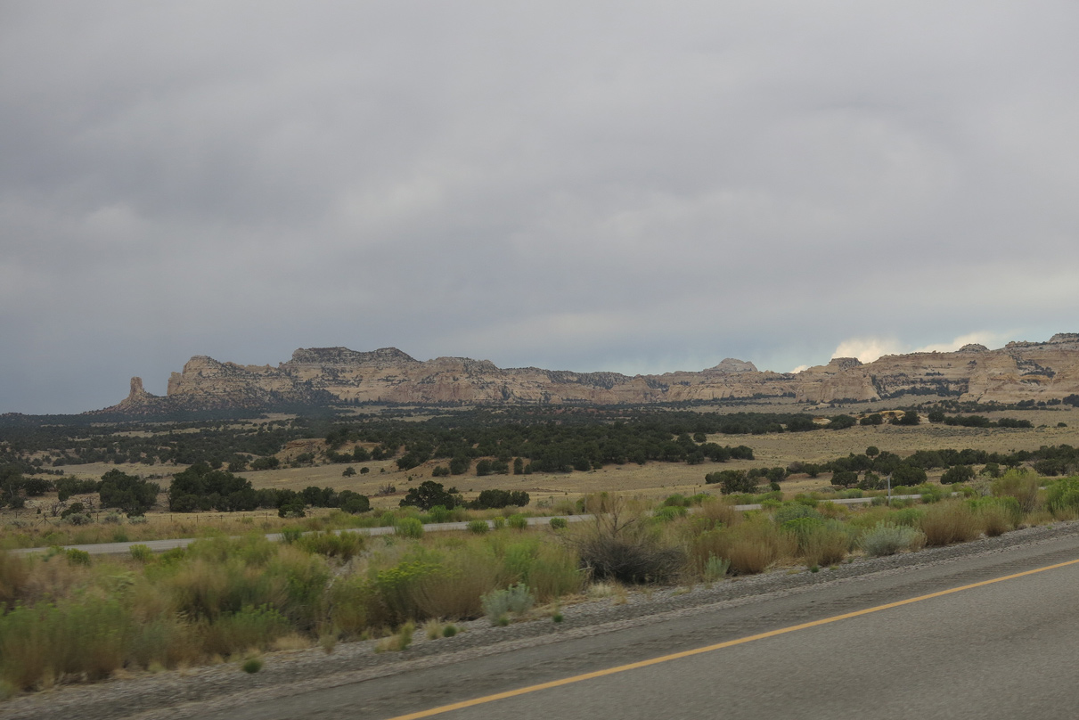
I-70 ascends over 6,600 feet above sea level west between Jerrys Flat and Sagebrush Bench.
08/17/13
08/17/13
08/17/13
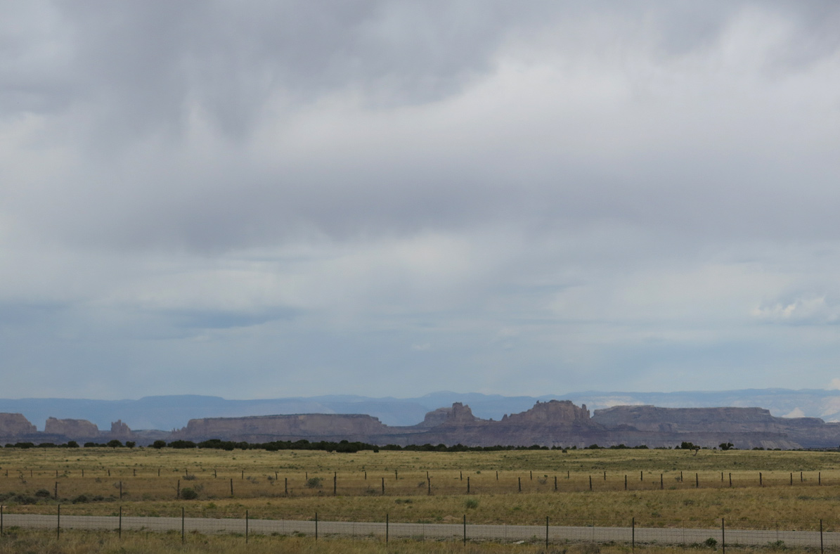
San Rafael Swell
08/17/13
08/17/13
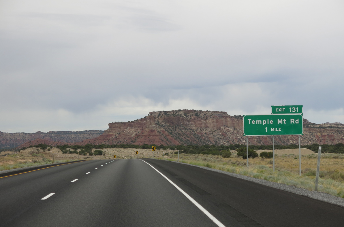
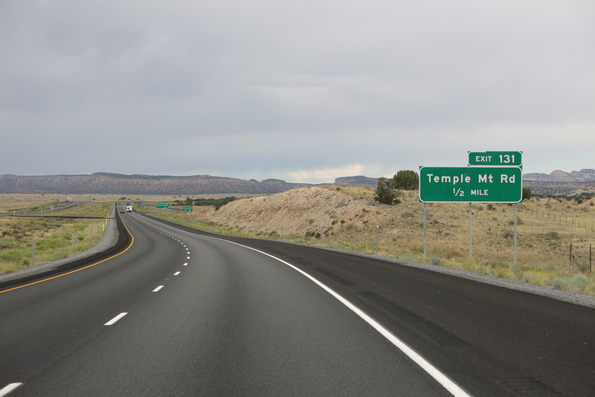
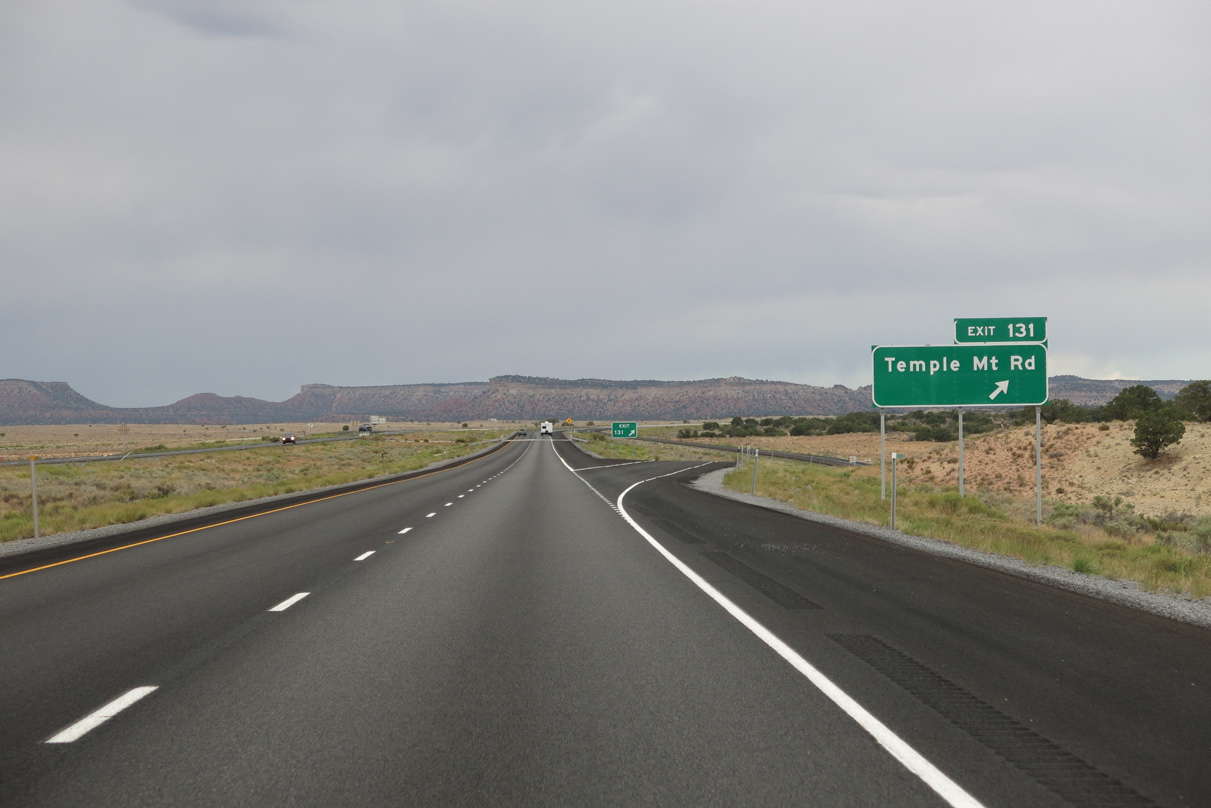
Temple Mountain Road north and Buckhorn Draw Road south come together at the ranch exit with I-70/U.S. 50 at Indian Flat.
08/17/13
08/17/13
Buckhorn Draw Road meanders northward to Window Blind Peak (elevation 7,014 ft) and Buckhorn Flat en route to SR 10 at Castle Dale.
08/17/13
08/17/13

08/17/13
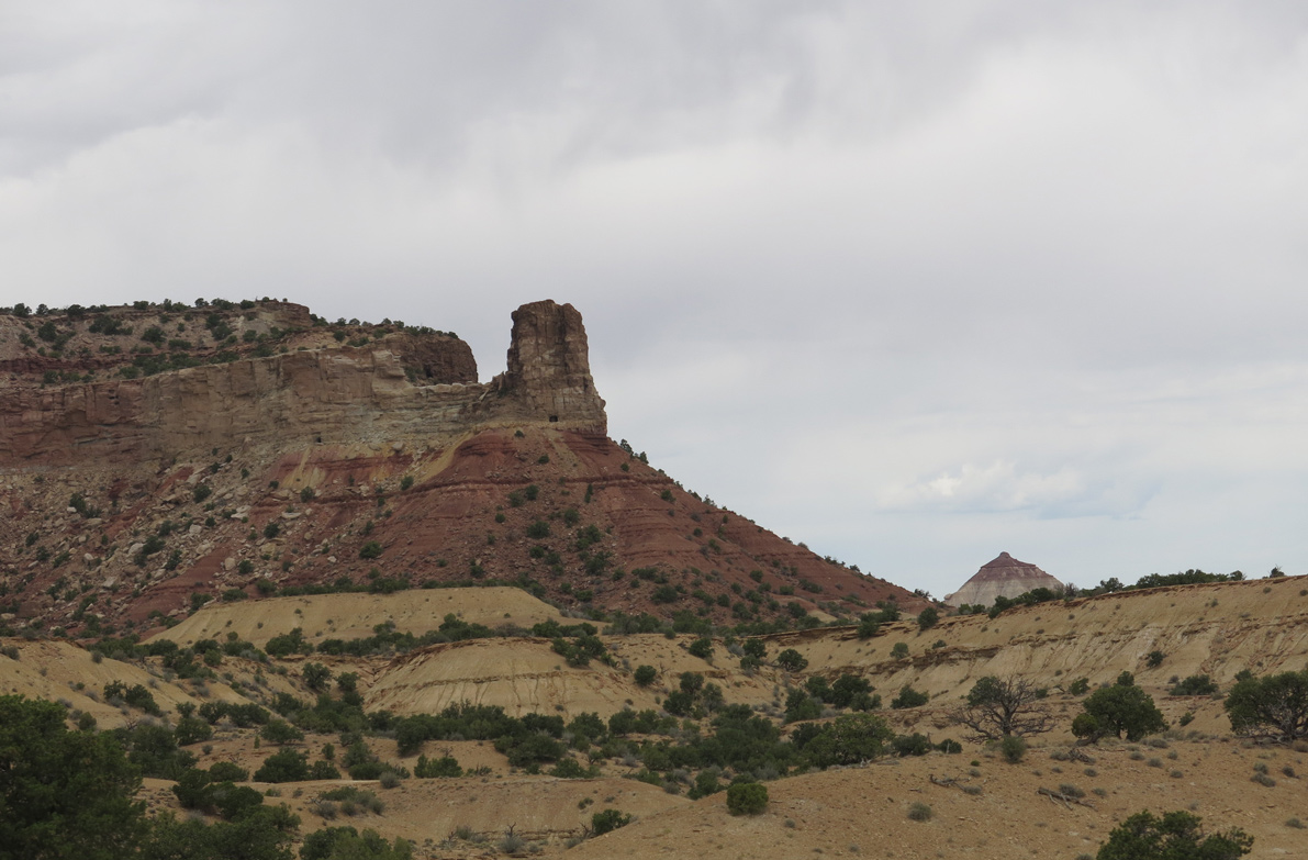
Temple Mountain Road travels southwest across Paige Flat toward Block Mountain (el, 7,431 feet) and then southeast across San Rafael Reef by Temple Mountain (el. 6,571 ft) to SR 24.
08/17/13
08/17/13
08/17/13
08/17/13
08/17/13
08/17/13

08/17/13
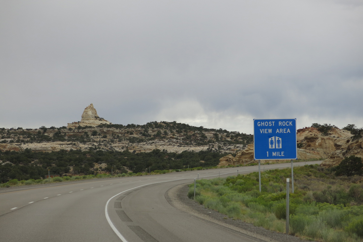
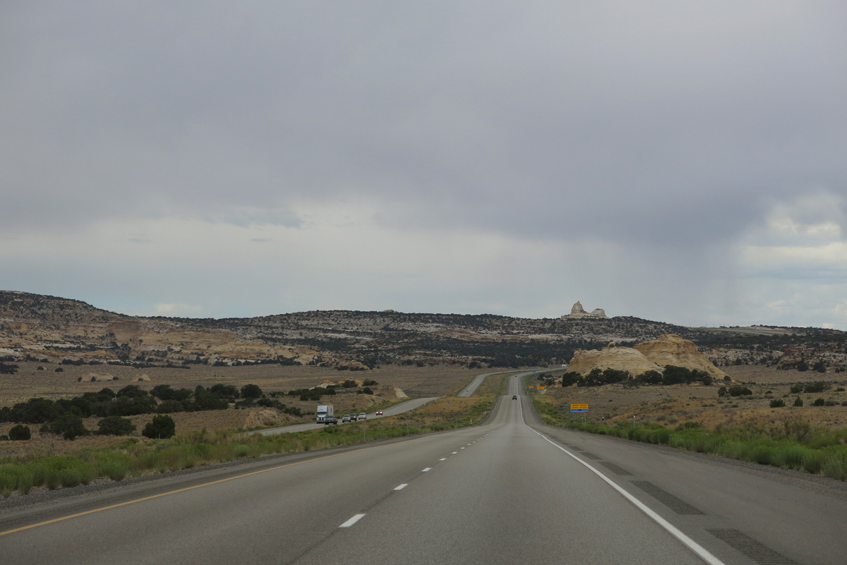
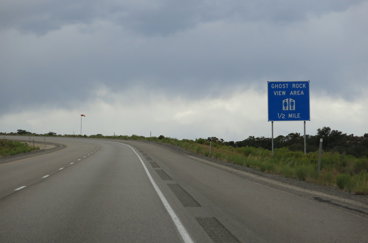
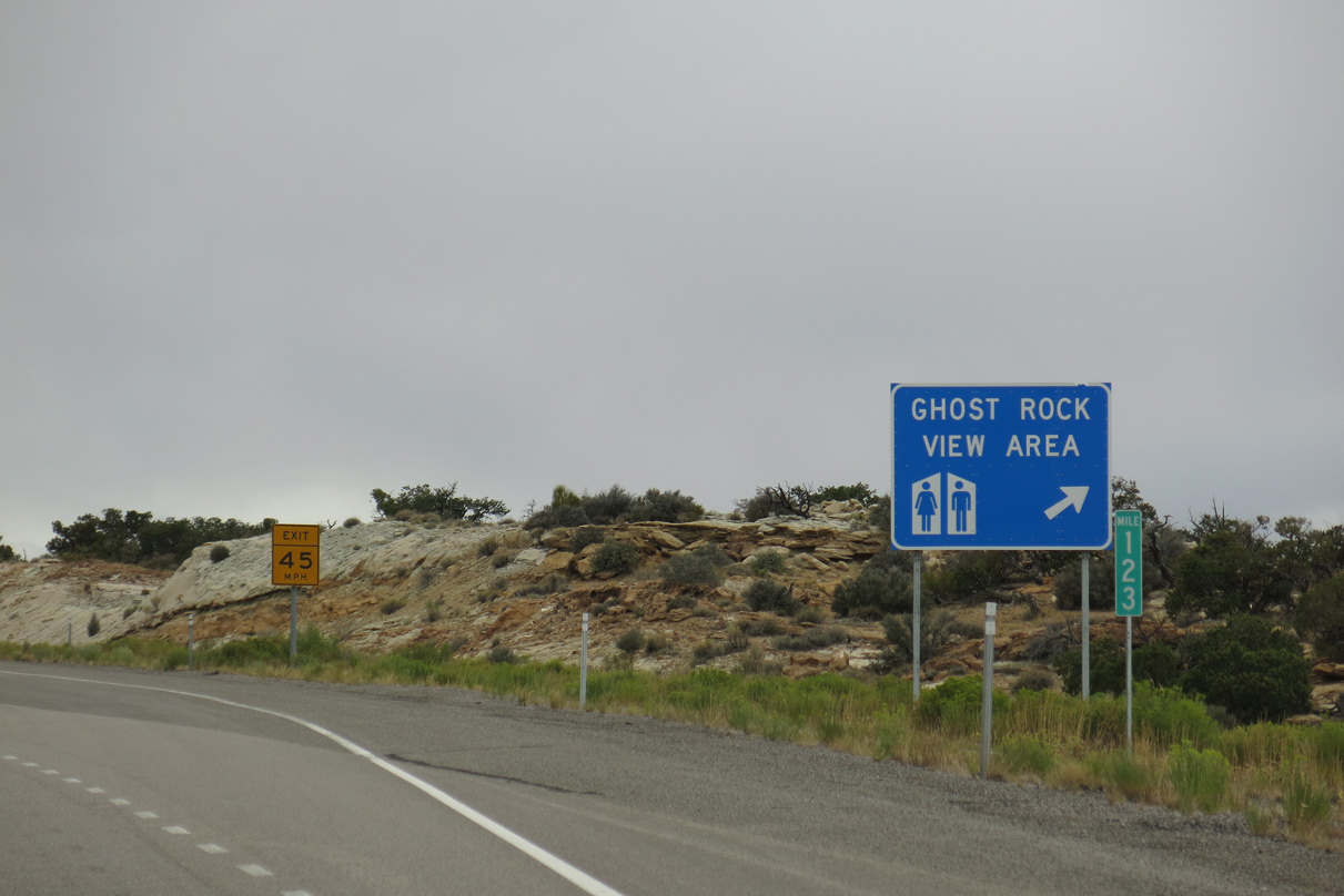
The Ghost Rock View Area lies along I-70/U.S. 50 beyond the Head of Sinbad (el. 7,123 feet) at mile marker 123.
08/17/13
08/17/13
08/17/13
08/17/13
08/17/13
08/17/13
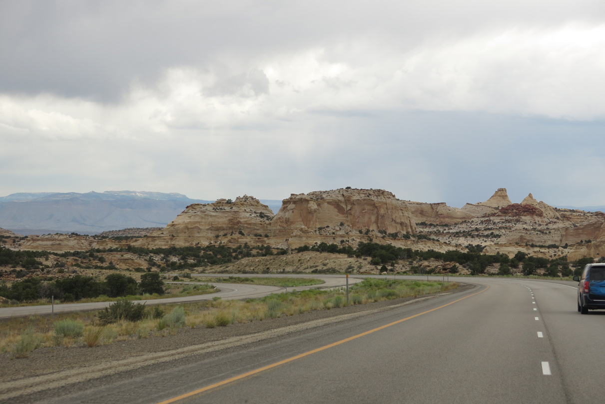
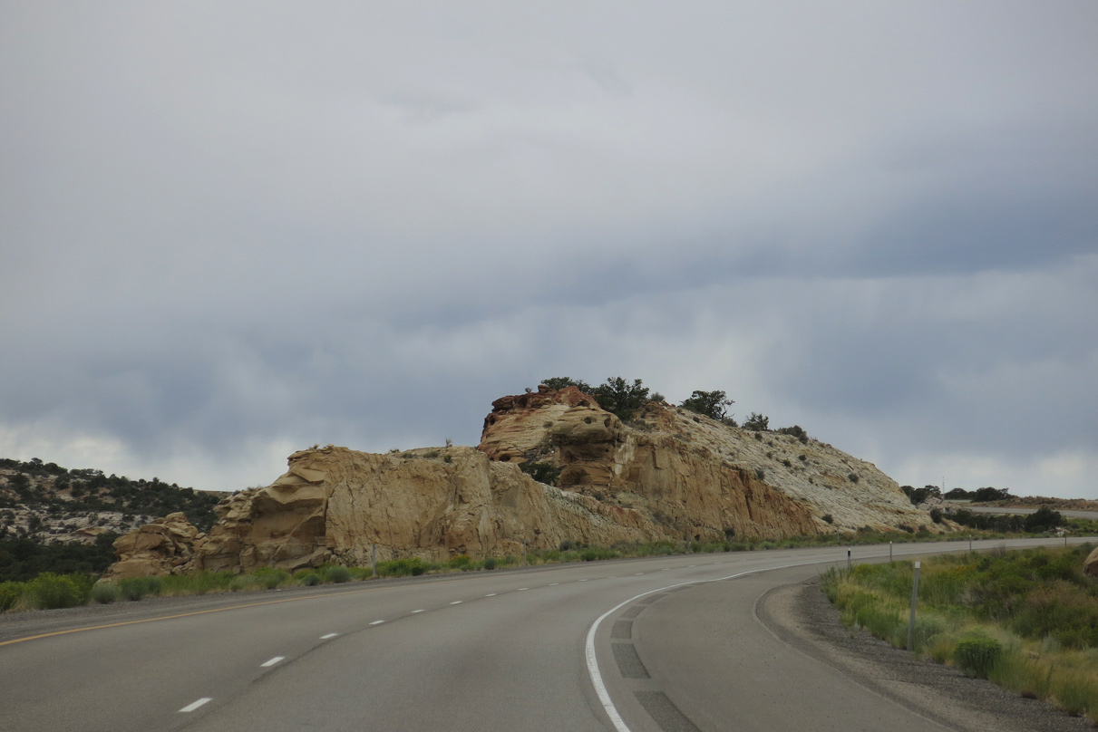
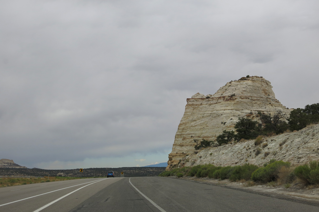
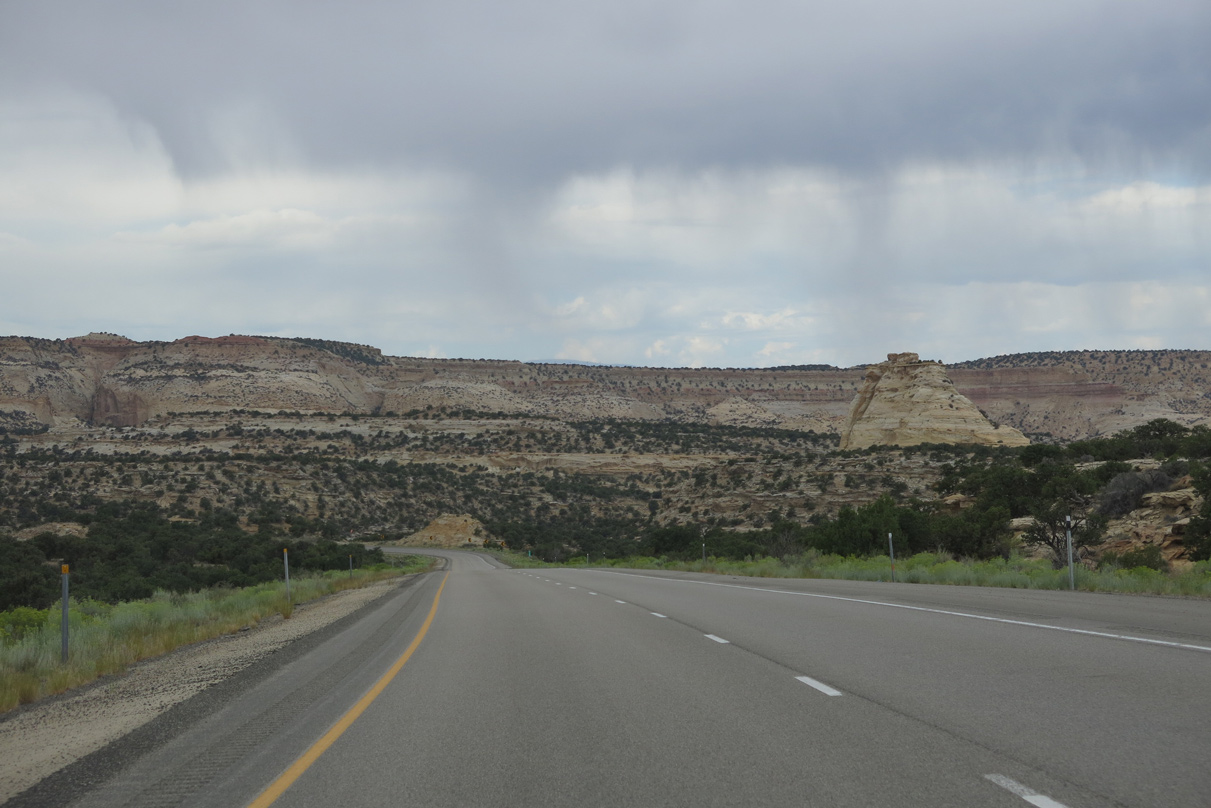
West from Ghost Rock, I-70/U.S. 50 traverse Secret Mesa (el. 7,211 feet).
08/17/13
08/17/13
08/17/13
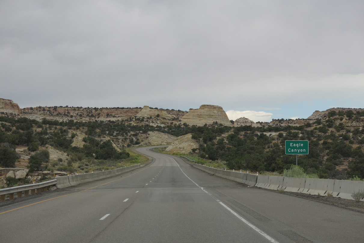
A set of arch bridges span the Eagle Canyon ravine along a series of S-curves between Secret Mesa and Justensen Flats.
08/17/13
08/17/13
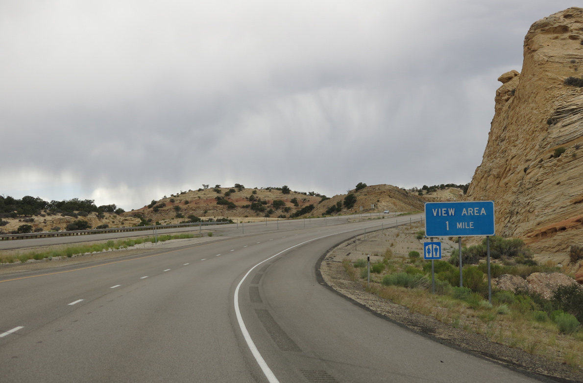
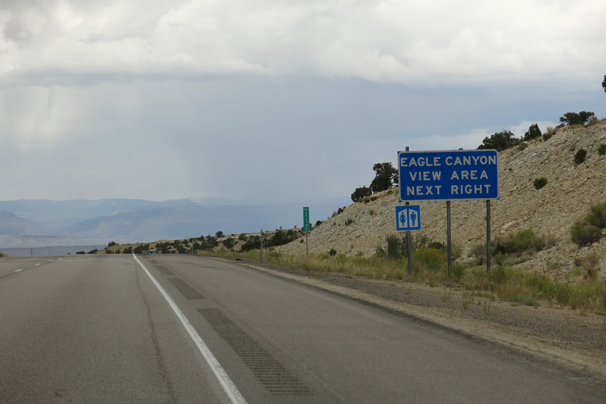
The Eagle Canyon view area lies off the freeway at forthcoming Exit 116.
08/17/13
08/17/13
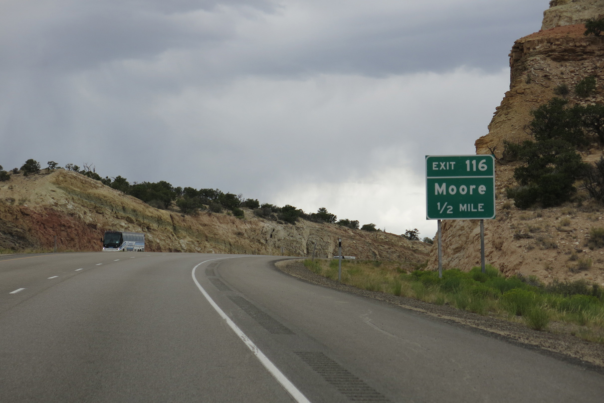
Moore Cutoff Road (CR 803) branches northwest from a diamond interchange (Exit 116) with I-70/U.S. 50 north of Devils Canyon.
08/17/13
08/17/13
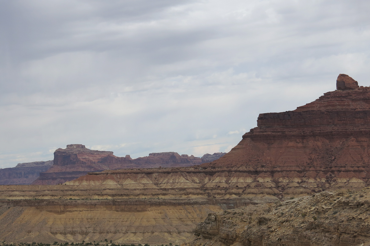
Molen Reef rises along the far western horizon.
08/17/13
08/17/13
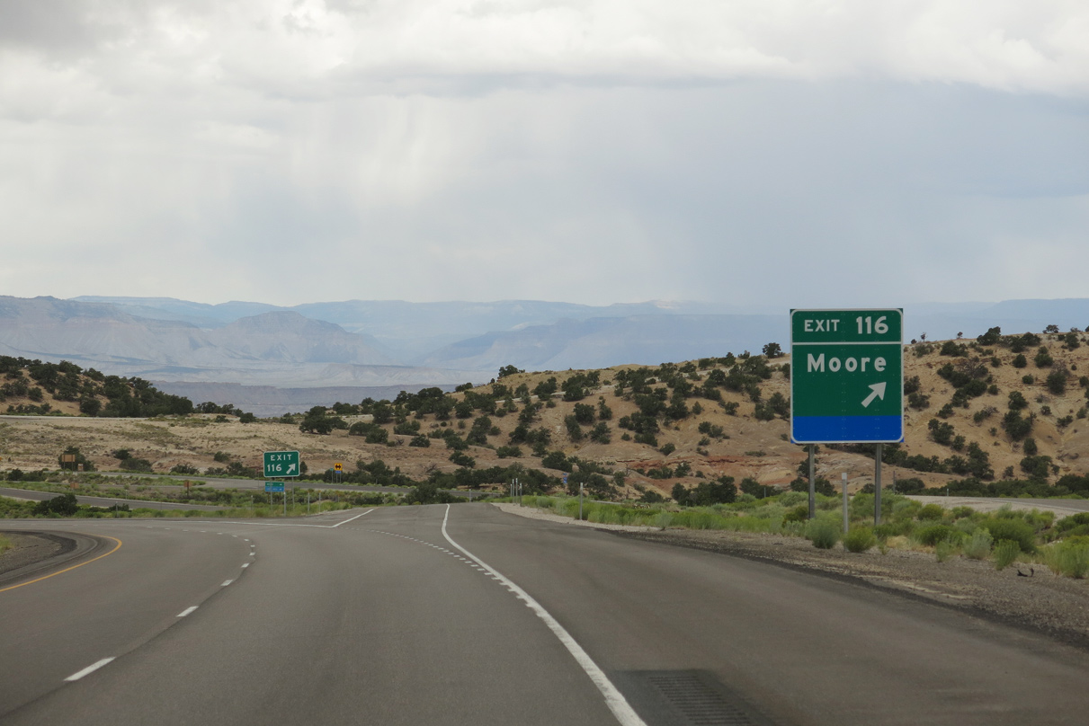
County Road 803 forms part of a 19.43 mile long route from Exit 116 to Moore and SR 10 via Moore Street.
08/17/13
08/17/13

08/17/13
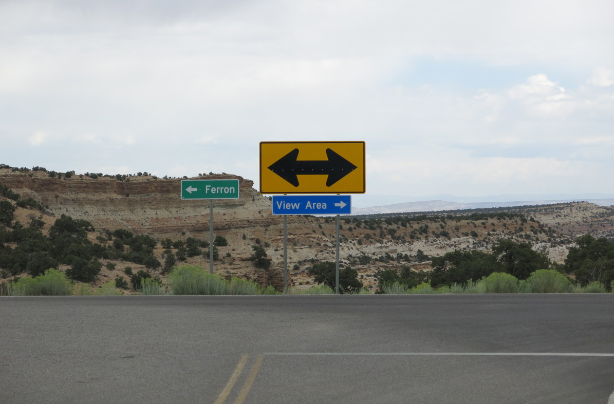
CR 803 (Moore Cutoff Road) west to SR 10 leads north to the city of Ferron.
08/17/13
08/17/13
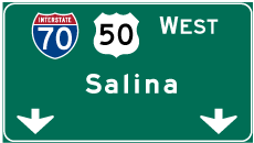
Photo Credits:
- Brent Ivy: 07/15/17
- Andy Field: 08/17/13
Page Updated Tuesday February 22, 2022.