
Business Spur I-75 - Sault Ste. Marie
The second Business Spur of I-75 runs 5.87 miles from Interstate 75 at Exit 392 north and east to the Sugar Island Ferry dock along the Saint Marys River. The route angles northeast from Three Mile Road along a commercialized stretch by Sault Sainte Marie Municipal Airport (ANJ) to Ashmun Street. Ashmun Street brings the route north to Downtown Sault St. Marie and East Portage Avenue. Crossing the Edison Power Canal from the business district, Business Spur I-75 continues along East Portage Avenue onto Riverside Drive before concluding at the ferry dock opposite 1 1/2 Mile Road on Sugar Island.
Interstate 75 north from Three Mile Road and the International Bridge opened to traffic in 1962. Business Spur I-75 was designated at this time with U.S. 2 along Three Mile Road to Mackinaw Trail and a new alignment northeast to former U.S. 2 (Ashmun Street) toward Downtown. U.S. 2 north from Three Mile Road shifted to the new freeway and toll bridge.1
Changes were made in 1981 when Business Spur I-75 was truncated from Portage Avenue south to Ashmun Street at Easterday Avenue. This lasted until 1984 when the 0.66 mile segment was restored to state control. Further additions to the route occurred in 1989 when 2.2 miles of Portage Avenue and Riverside Drive were added to the present eastern terminus.1
 North
North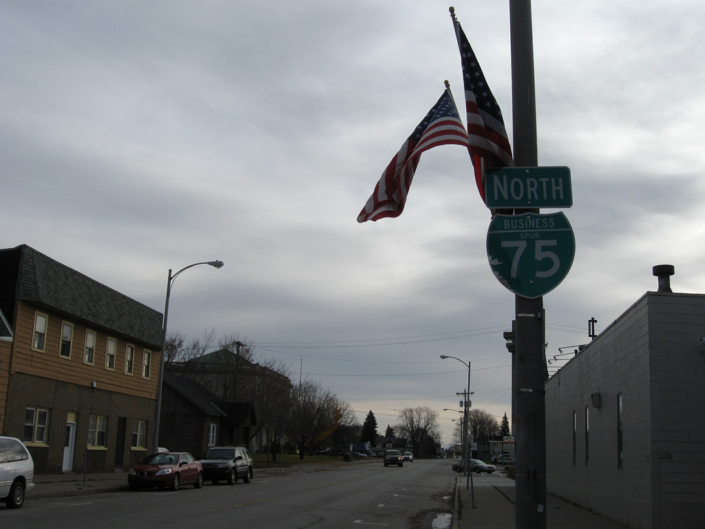
A reassurance marker lines East Portage Avenue after the Business Spur I-75 eastern turn from Ashmun Street north in Downtown Sault Ste. Marie.
11/06/09
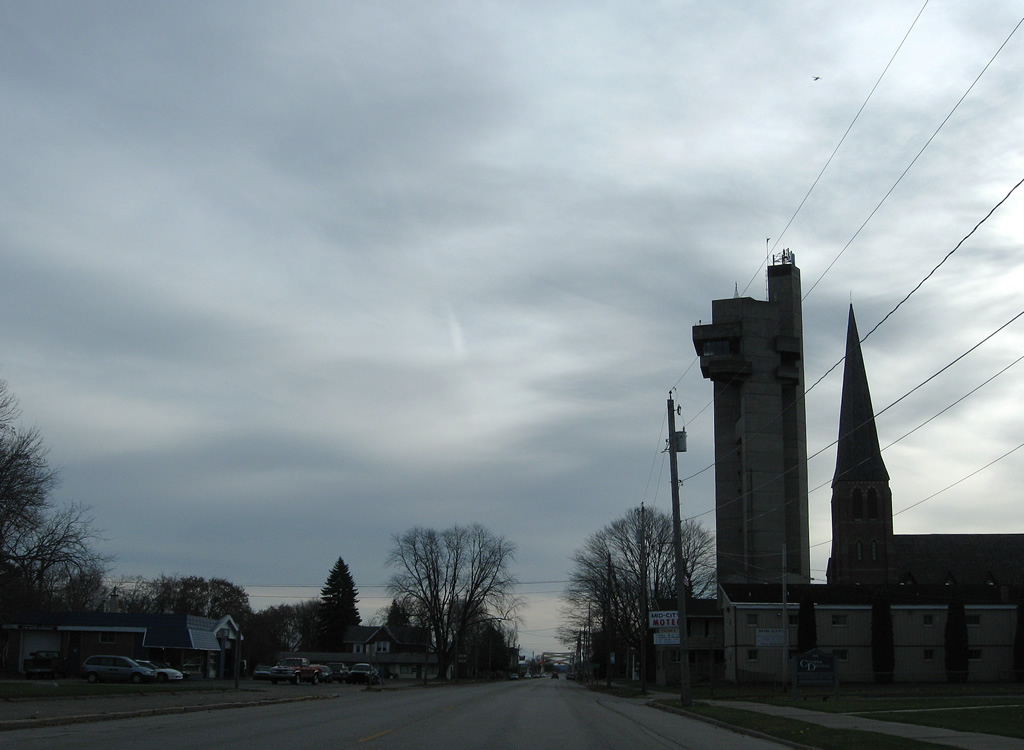
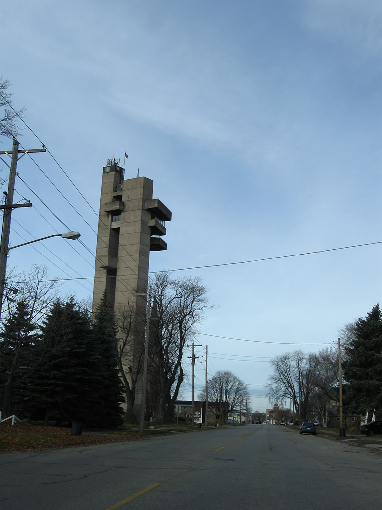
The Tower of History, a 210-foot structure, rises to the east of Downtown along Business Spur I-75 (East Portage Avenue) at Kimball Street. Built in 1968 by the Catholic Church as the Shrine of the Missionaries, the tower was one component of a larger project planned to include a community center and new church. Those plans never made it to fruition and the tower was later donated to the Sault Historic Sites in 1980, which operates the tower now as a museum and observation deck.4
11/06/09
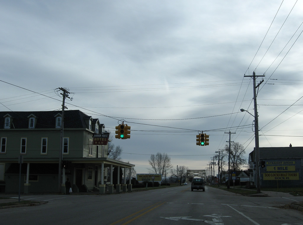
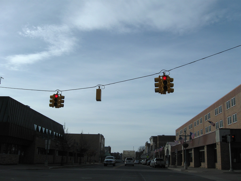
Water Street curves southward as Johnston Street to cross paths with Business Spur I-75 at this set of traffic lights.
11/06/09
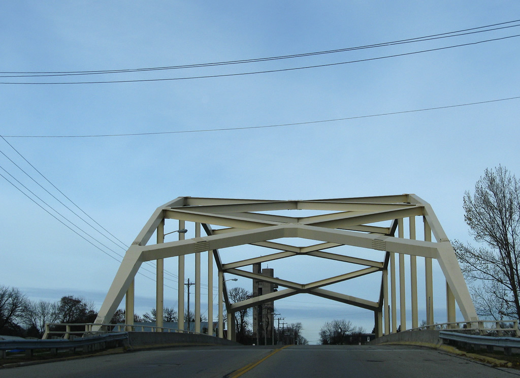
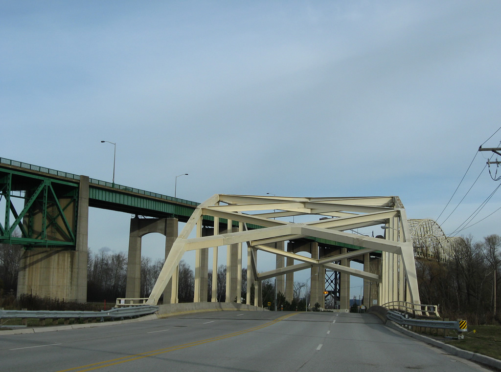
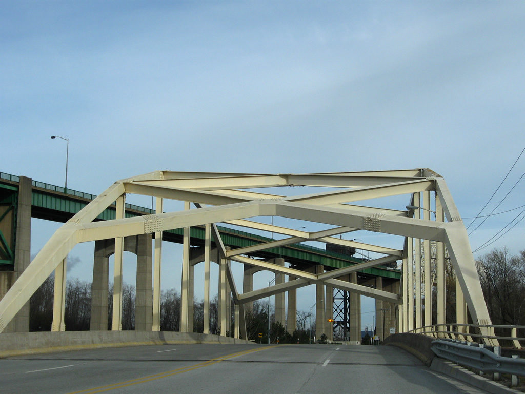
Similar to the West Portage Avenue Bridge, the East Portage Avenue Bridge consists of a steel through arch design. The 265-foot bridge spans the Edison Power Canal with two overall lanes and was built in 1970 and rehabilitated in 1988.5
11/06/09
Business Spur I-75 shield posted along East Portage Avenue after Barbeau Street.
11/06/09
East Portage Avenue becomes Riverside Drive at the intersection with Mission Road. The final reassurance marker for Business Spur I-75 follows.
11/06/09
An end shield lies along Riverside Drive at the Sugar Island ferry dock entrance. Riverside Drive continues southward parallel to the Saint Mary River to McCarron and East 22 Mile Road east of Stirlingville and west of Munuscong Lake.
11/06/09
South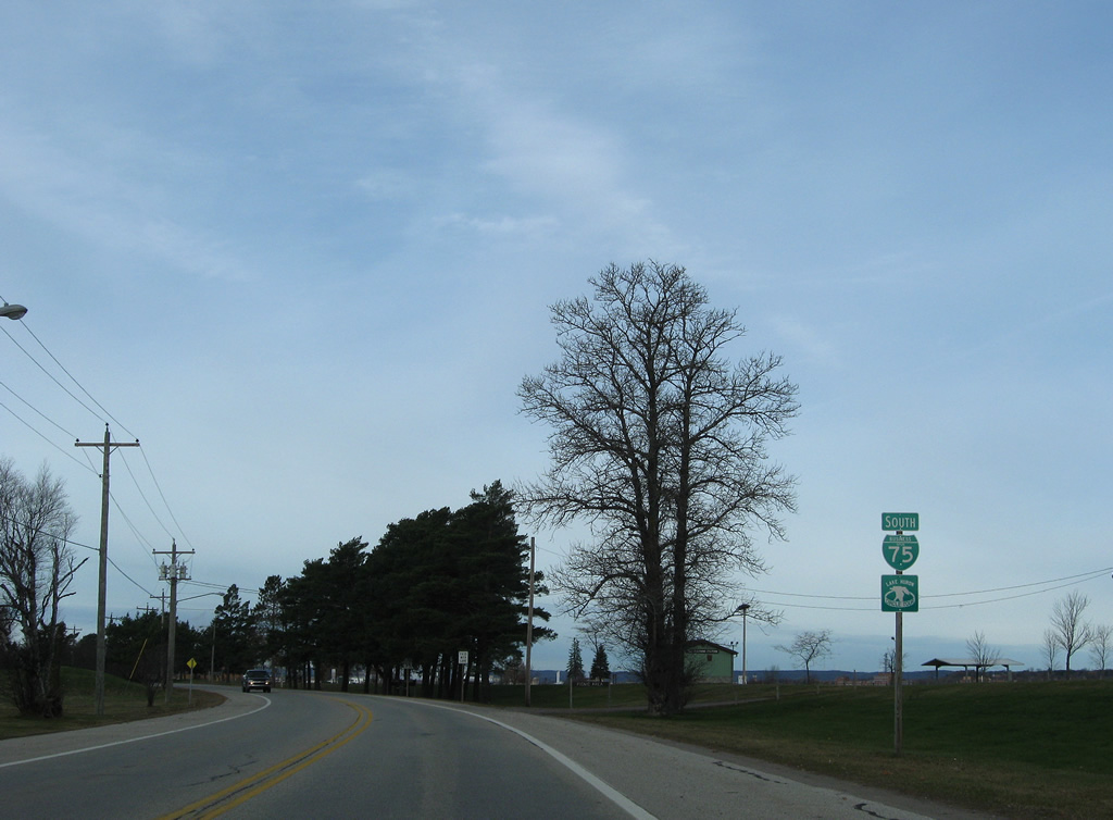
The first shield for Business Spur I-75 appears west of the Sugar Island ferry dock as Riverside Drive lines Sault Ste. Marie Country Club.
11/06/09
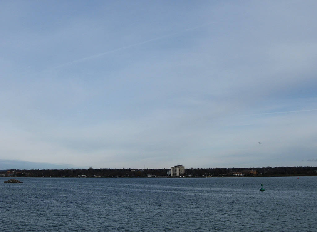
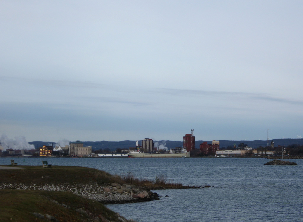
Unobstructed views of the Saint Marys River and Sault Ste. Marie, Ontario from a road side park just north of Business Spur I-75 (Riverside Drive).
11/06/09
Riverside Drive becomes East Portage Avenue at Mission Road and this reassurance marker.
11/06/09
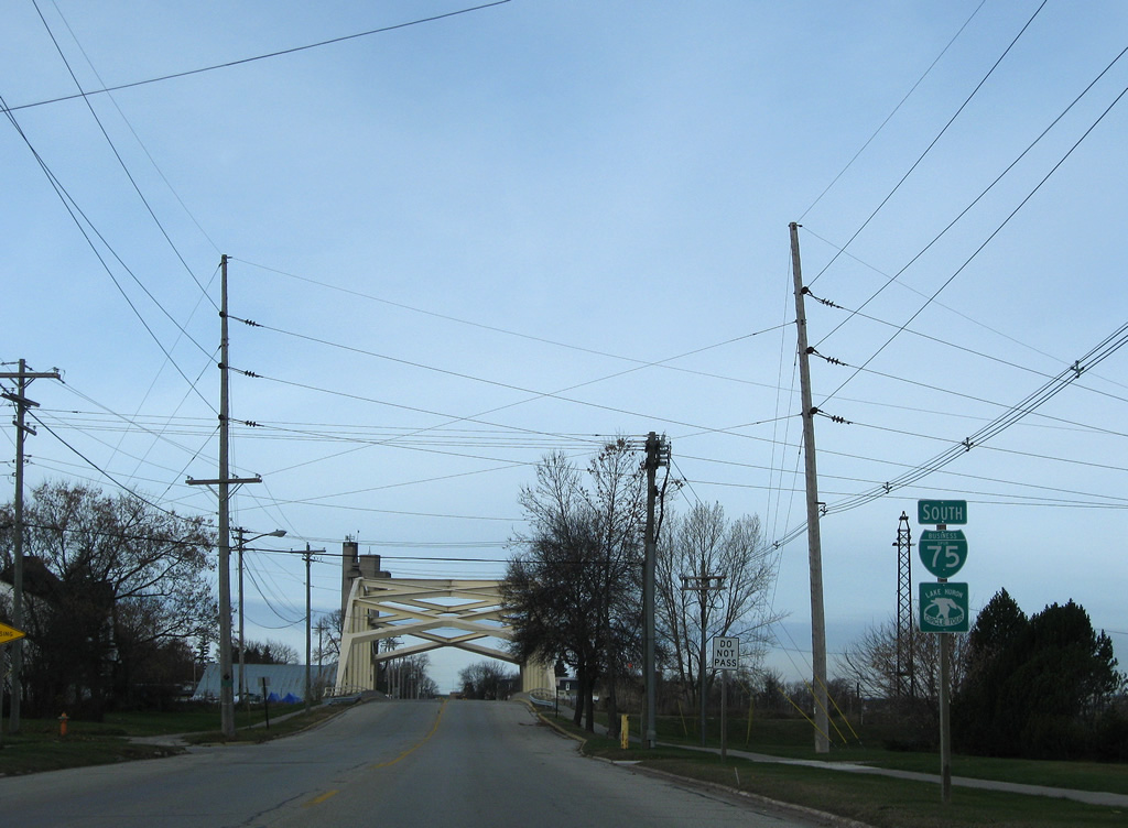
Approaching the East Portage Avenue Bridge on Business Spur I-75 south. The 1970-opened bridge spans the Edison Power Canal.
11/06/09

The East Portage Avenue Bridge is one of seven bridges crossing the Edison Power Canal. The canal flows south around the Sault Ste. Marie business district from Ashmun Bay east to the Edison Powerhouse at the Saint Marys River.
11/06/09
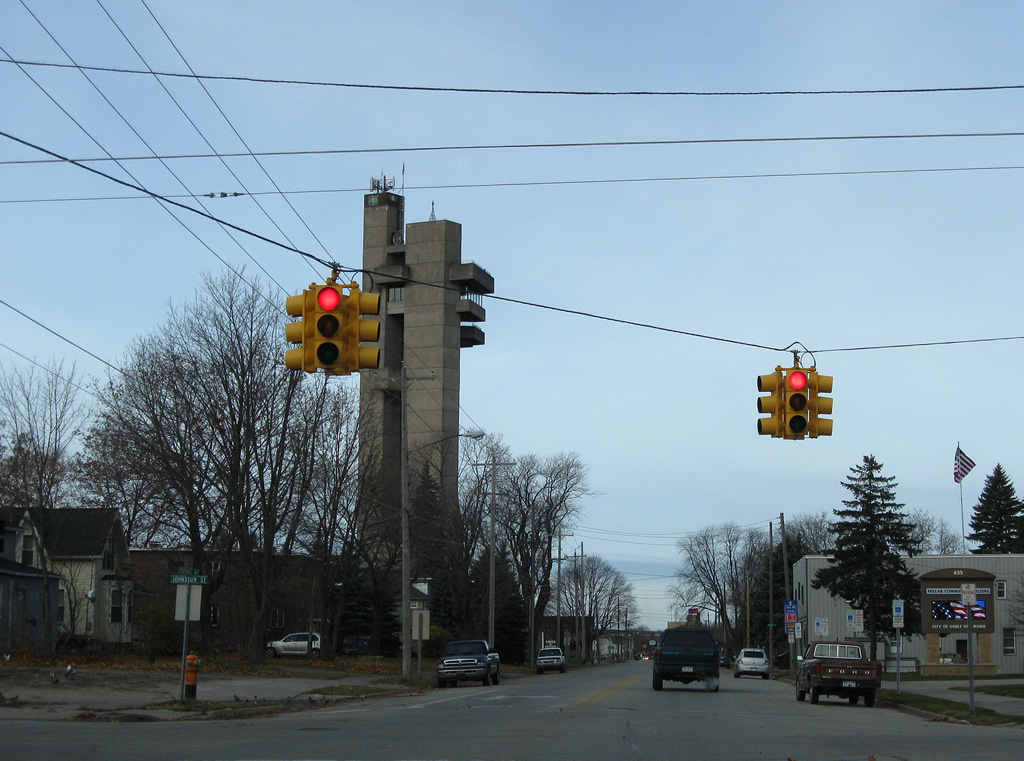
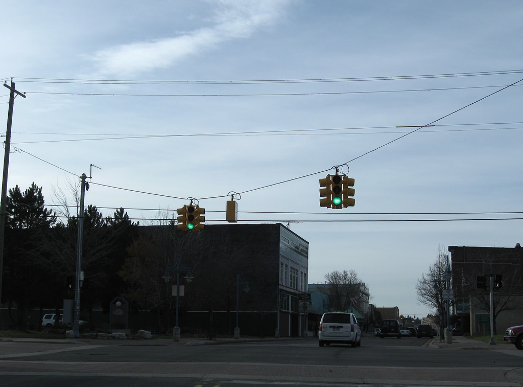
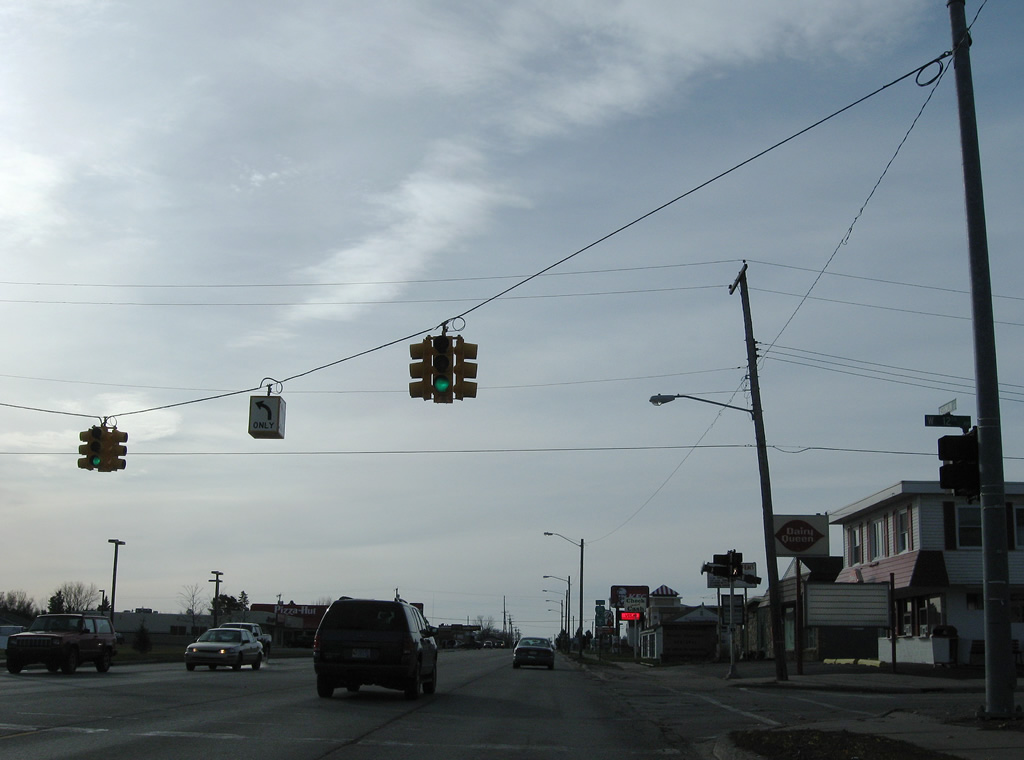
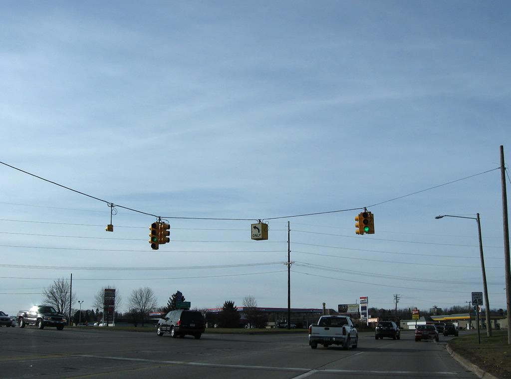
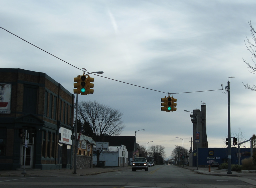
The first set of signals along Business Spur I-75 south govern the movements to Johnston Street north to Water Street and south to Easterday Avenue.
11/06/09
Drivers along East Portage Avenue continue two blocks west to Kimball Street and the Tower of History.
11/06/09
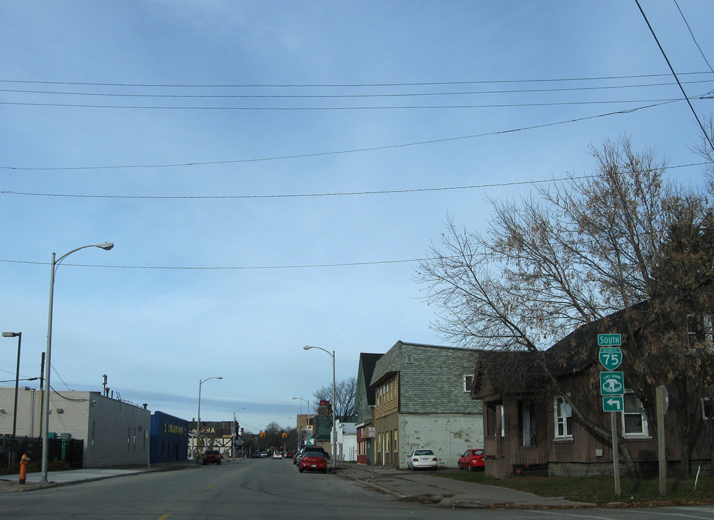
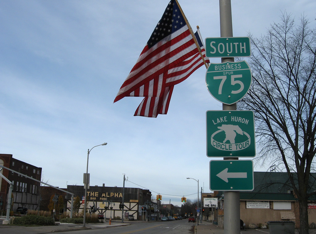
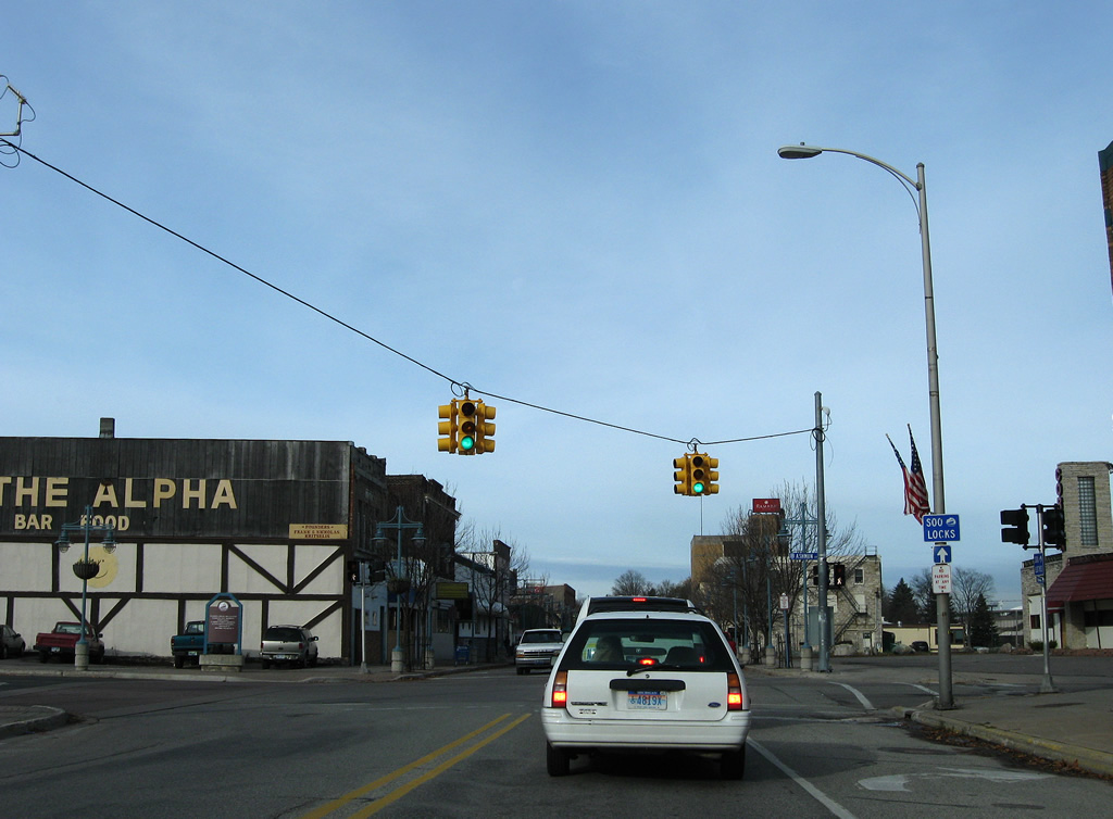
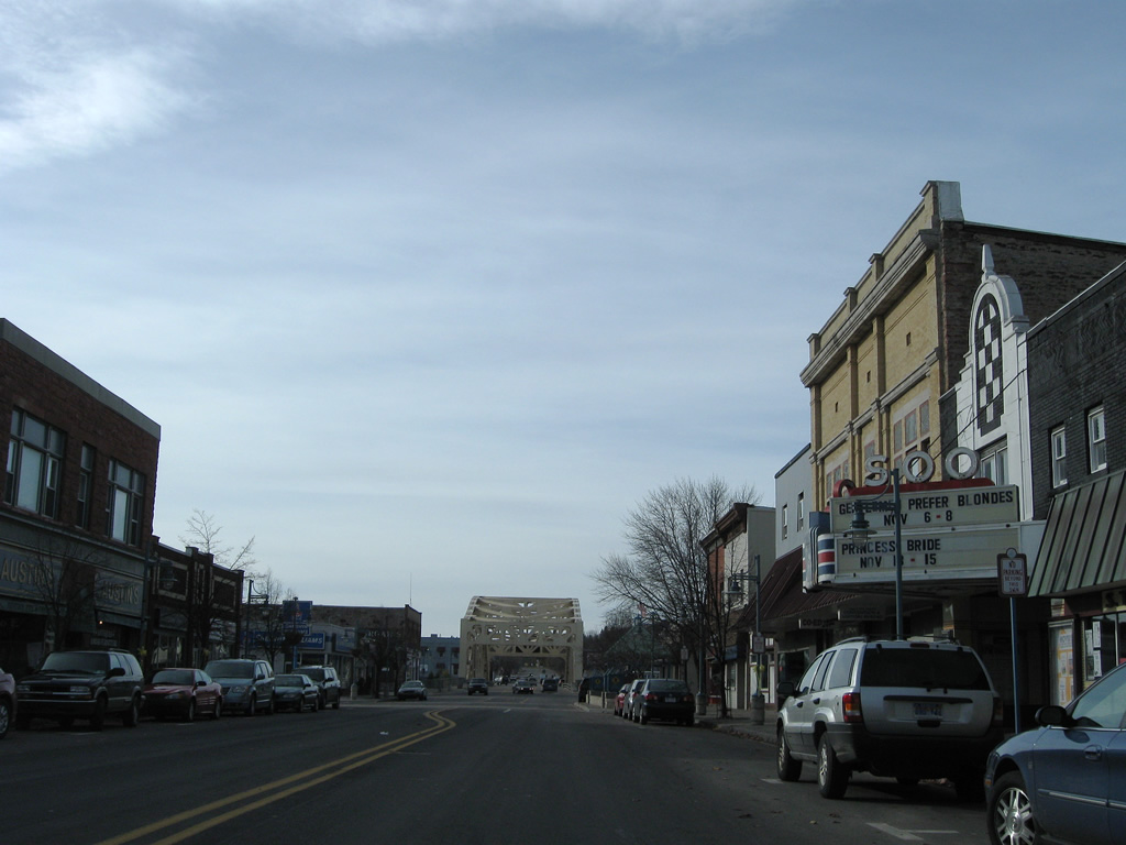
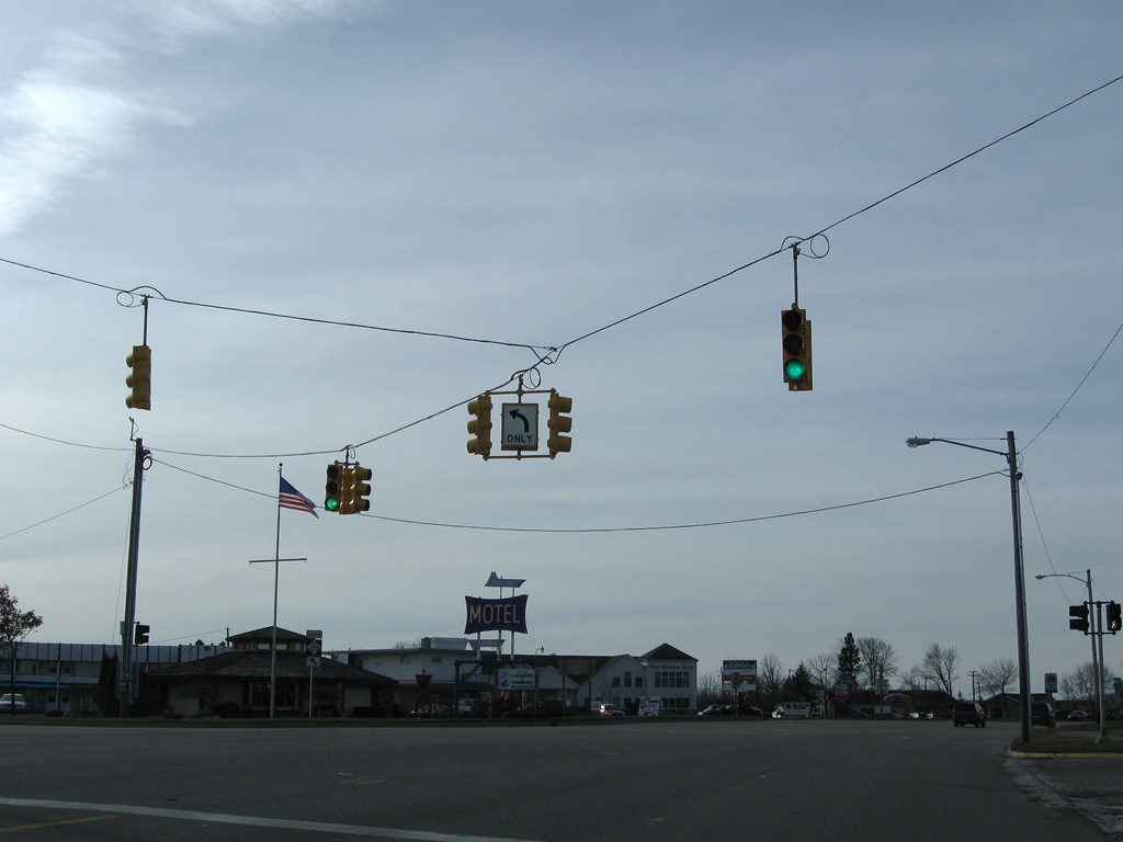
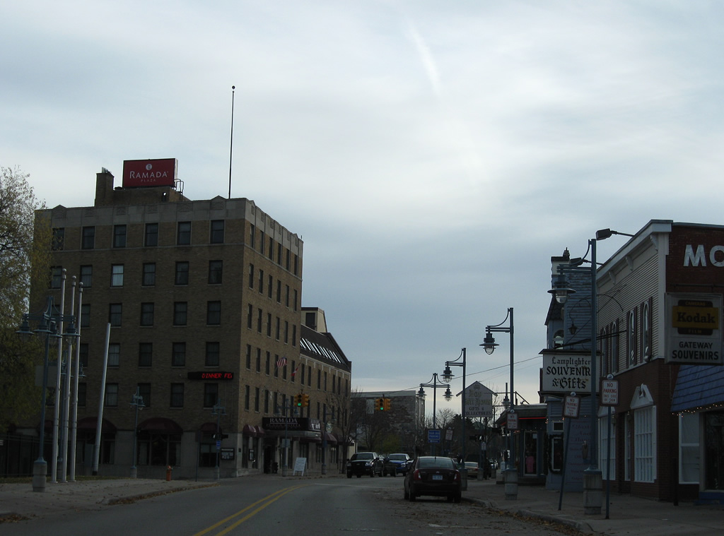
Business Spur I-75 prepares to turn southward from East Portage Avenue onto Ashmun Street in Downtown.
11/06/09
Ashmun Street carries Business Spur I-75 south from Downtown Sault Ste. Marie to M-129 at Three Mile Road. The north-south road was the original alignment of U.S. 2 from Waters Street south.
11/06/09
West Portage Avenue continues west from Business Spur I-75 to the Soo Locks and Easterday Avenue at Interstate 75 (Exit 394).
11/06/09
Southbound Ashmun Street on the block between Portage Avenue and Maple Street.
11/06/09
Maple Street heads east from Business Spur I-75 to residential areas opposite Ridge Street west to West Portage Avenue.
11/06/09
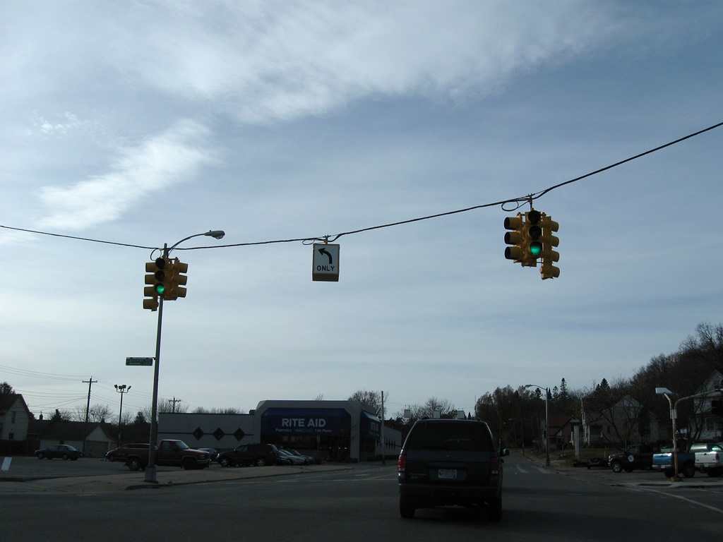
Traffic lights hang above Business Spur I-75 (Ashmun Street) south at Spruce Street. Spruce Street spans the Edison Power Canal to Easterday Avenue and Mission Road.
11/06/09
Ashmun Street south at Dawson Street east.
11/06/09
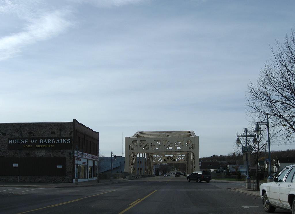
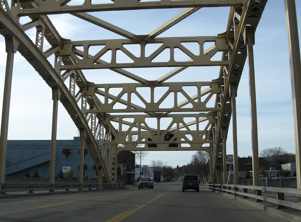
Peck Street east and Library Drive west come together at Business Spur I-75 ahead of its second crossing of the Edison Power Canal.
11/06/09
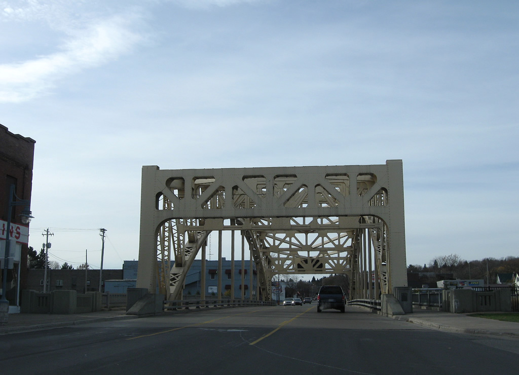
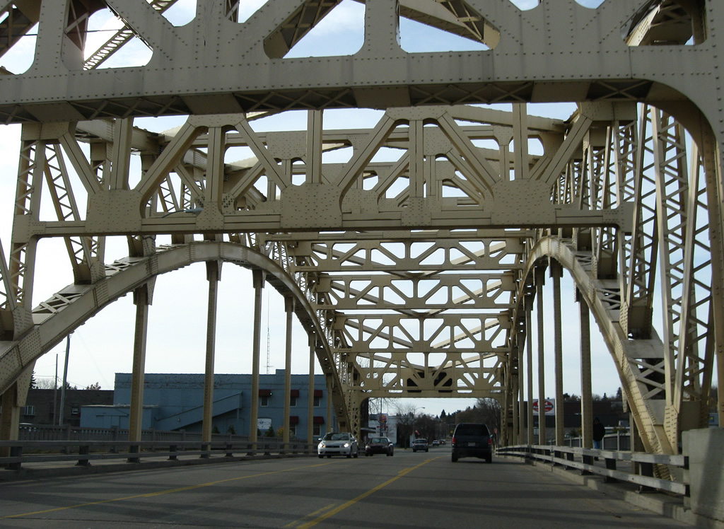
Constructed in 1935 and rehabilitated in 1998, the Ashmun Street Bridge is a 257-foot long tied steel arch bridge. The three-lane span is 42 feet in width.6
11/06/09
Easterday Avenue crosses paths with Business Spur I-75 (Ashmun Street) en route between Spruce Street and the northernmost interchange of Interstate 75.
11/06/09
Business Spur I-75 expands to four lanes south from Easterday Avenue. The road rises onto a ridge and kinks southward after James Street.
11/06/09
An assortment of businesses mix with residences along Ashmun Street south as drivers pass this reassurance marker at 8th Avenue.
11/06/09
12th Avenue connects Business Spur I-75 (Ashmun Street) south with Sault Ste. Marie Municipal Airport (ANJ) to the west. Marquette Avenue continues the road east to Shunk Road near the Kewadin Casino.
11/06/09
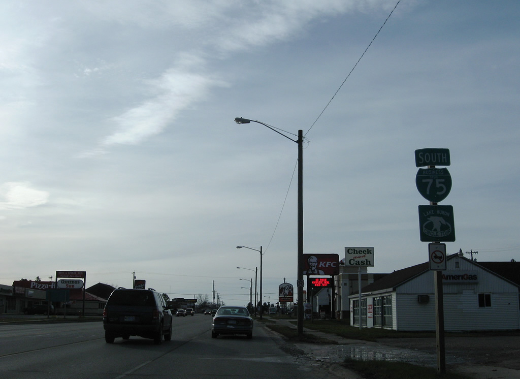
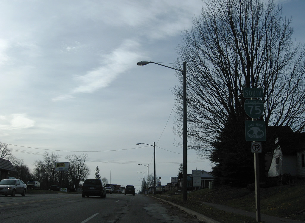
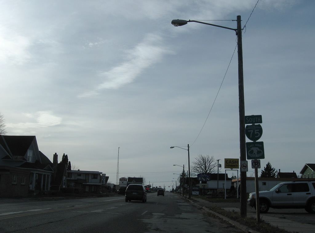
Heading south from 12th Avenue, Business Spur I-75 expands into a commercial arterial by a number of eateries and shopping centers to Interstate 75.
11/06/09
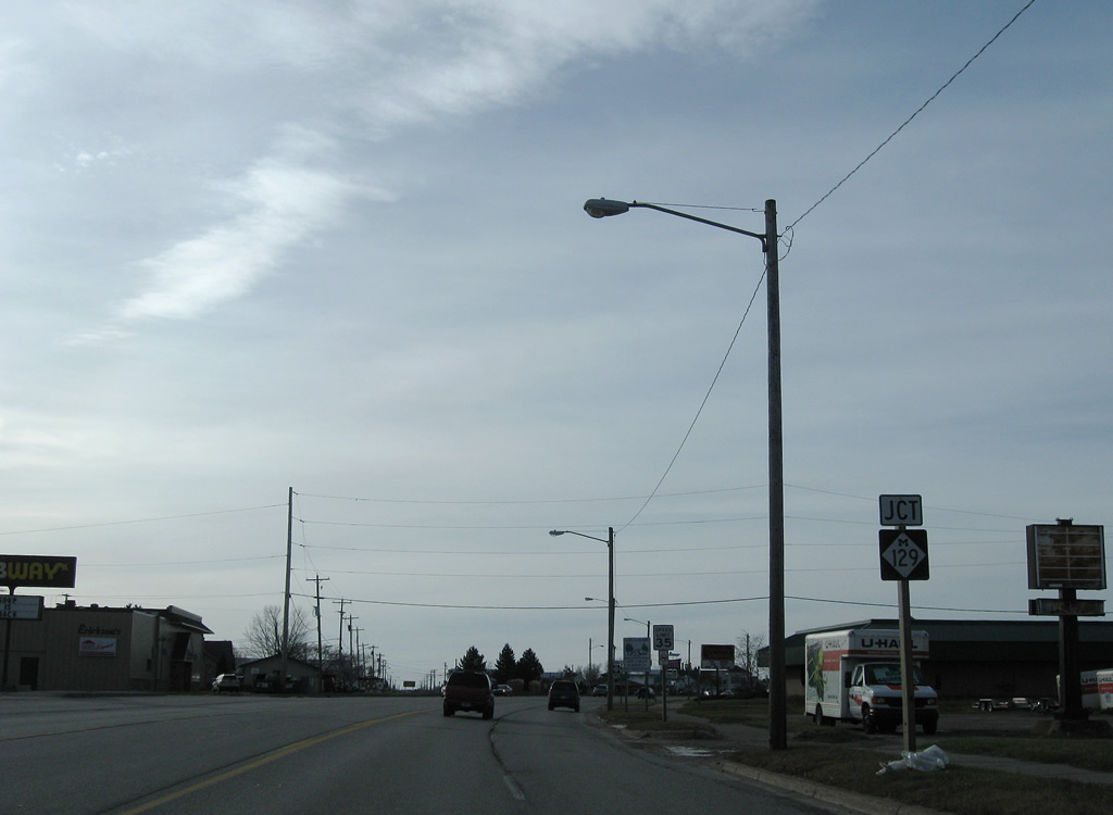
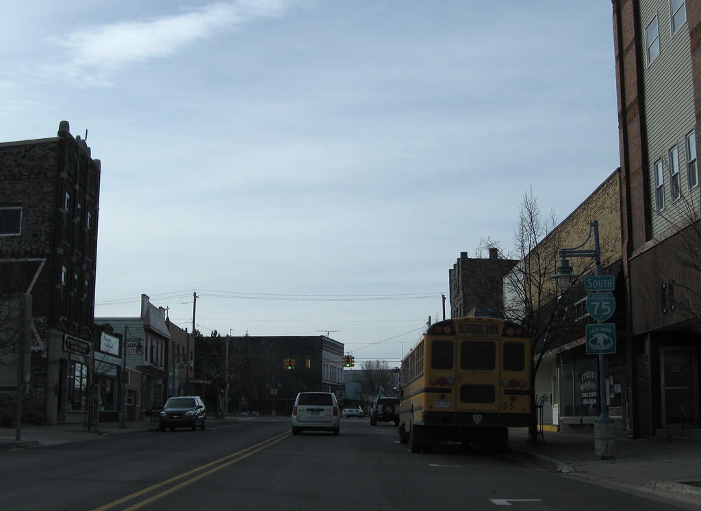
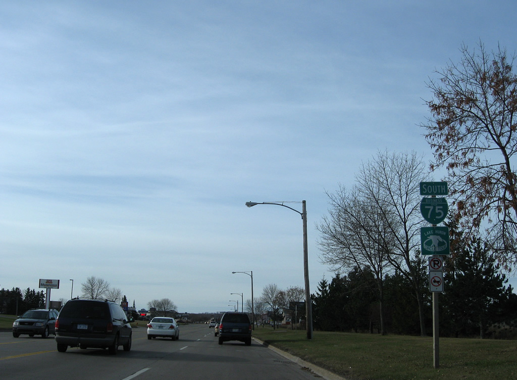
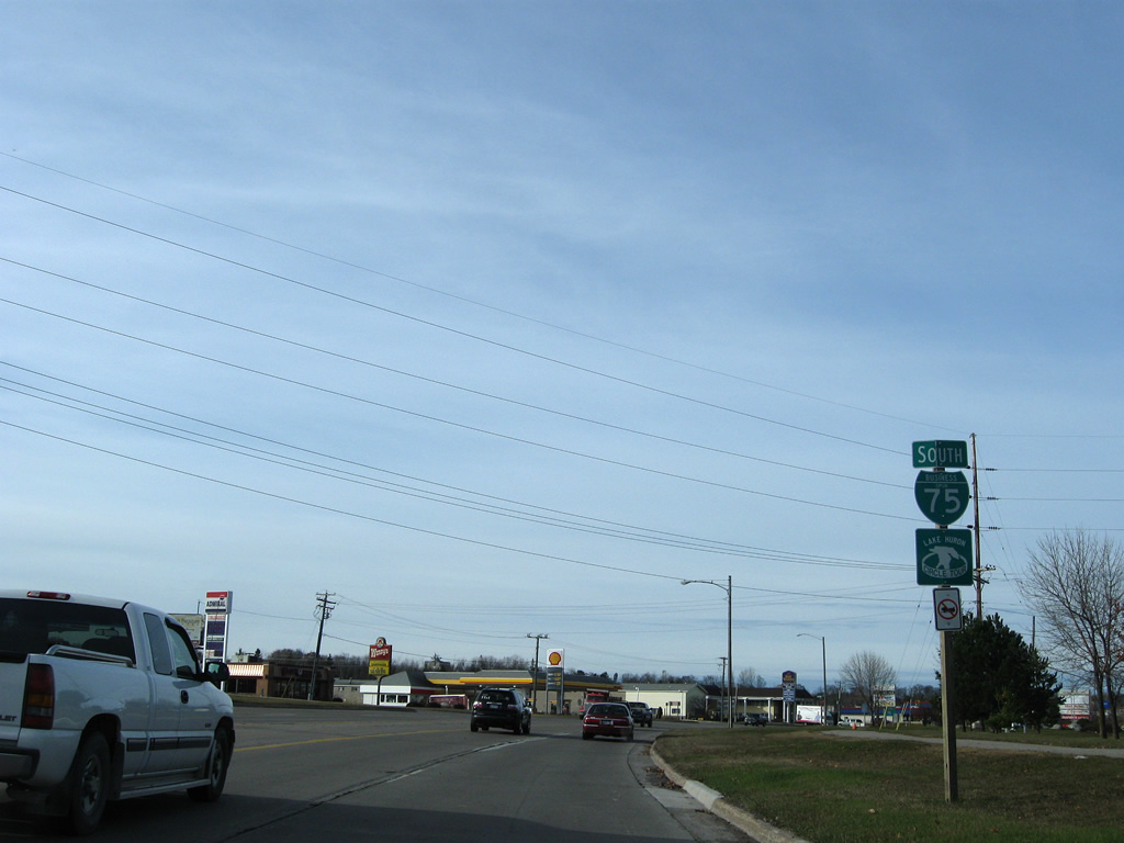
Ashmun Street (M-129) splits with Business Spur I-75 as the arterial turns southwest to Interstate 75 (Exit 392).
11/06/09
M-129 begins a 33.19 mile trek south from Business Spur I-75 to Pickford and Cedarville.
11/06/09
Business Spur I-75 continues another 1.9 miles south from M-129 (Ashburn Street) along an unnamed arterial.
11/06/09
Davitt Street stems north from Business Spur I-75 back to Sault Ste. Marie Municipal Airport (ANJ) via Meridian Street.
11/06/09
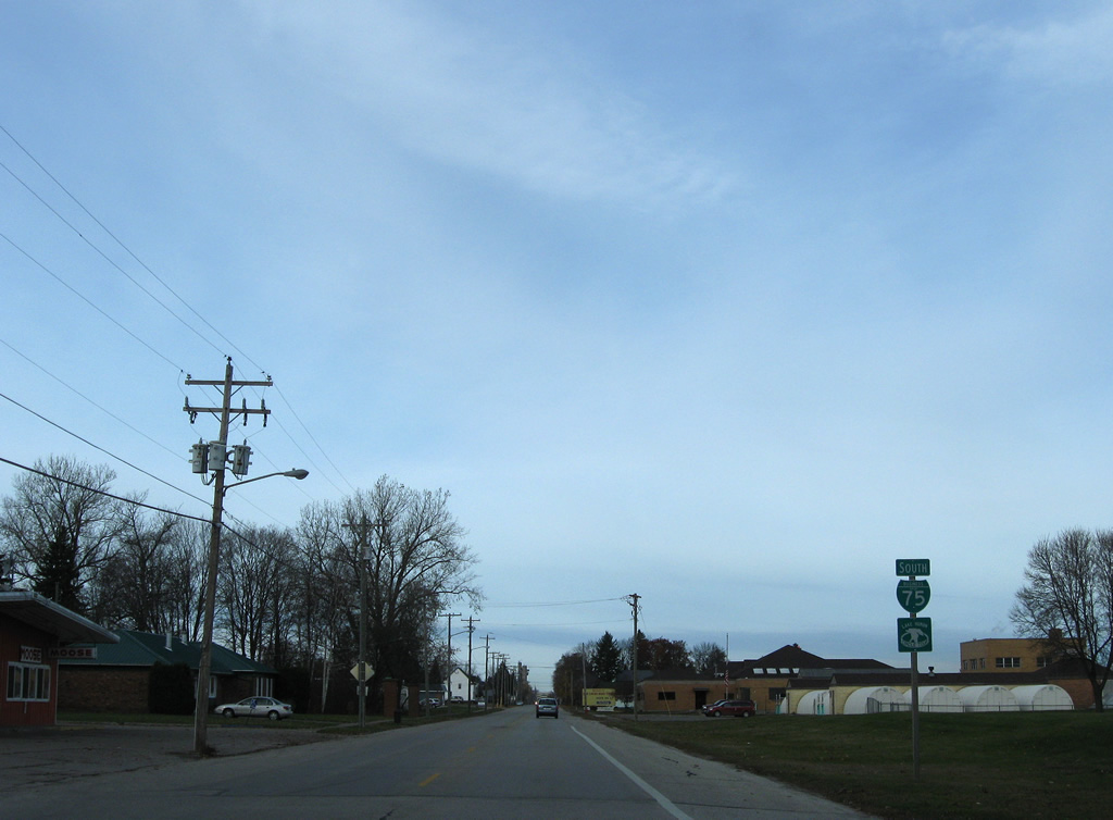
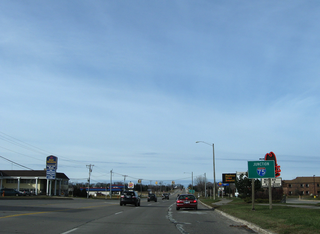
Business Spur I-75 remains well signed on the approach to Interstate 75 in south Sault Ste. Marie.
11/06/09
Mackinac Trail (County Road H63) ties into Business Spur I-75 as the former alignment of U.S. 2 leading south to Rudyard.
11/06/09
Business Spur I-75 follows Three Mile Road west from Mackinac Trail to its end.
11/06/09
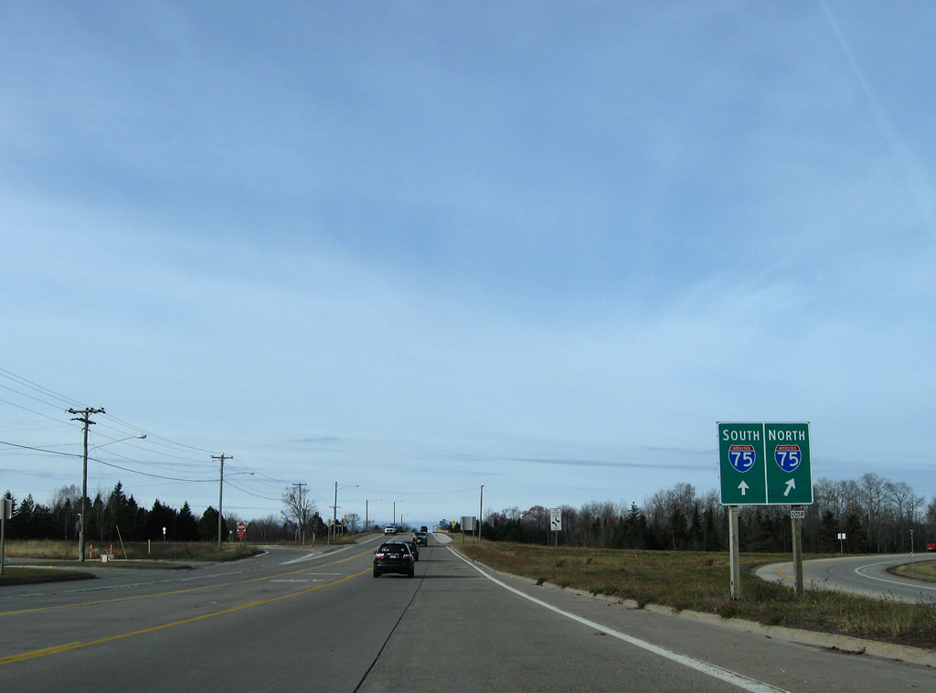
Interstate 75 appears as Business Spur I-75 passes by Cascade Crossings Shopping Center.
11/06/09
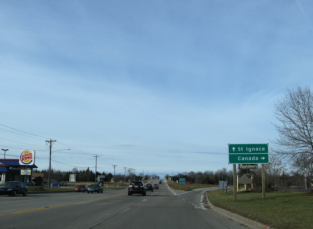
Entering the parclo interchange with Interstate 75, drivers bound for Easterday Avenue in Sault Ste. Marie or the International Bridge to Ontario depart Business Spur I-75 south.
11/06/09
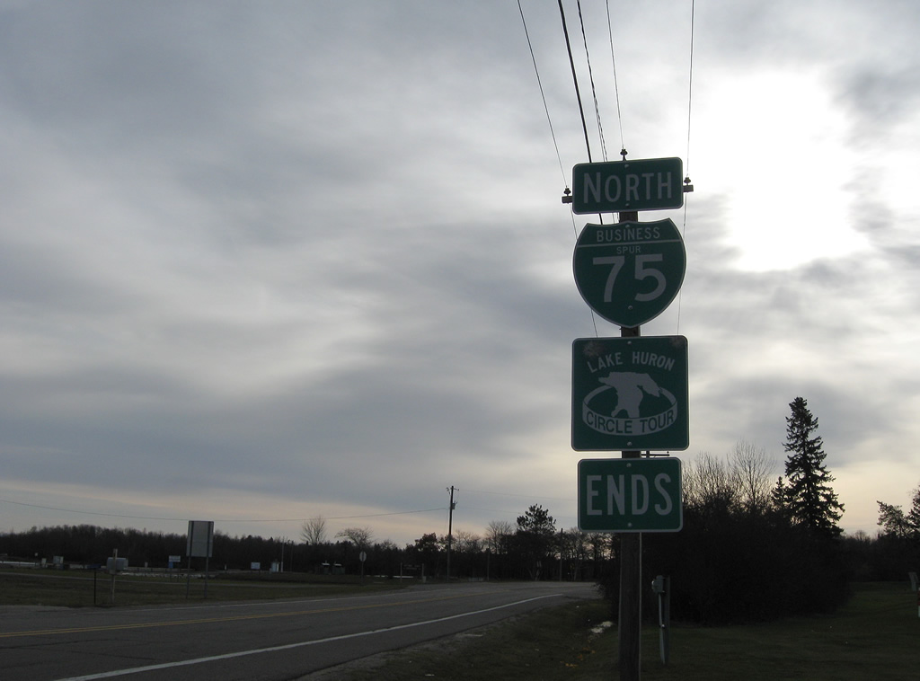
An end shield assembly precedes the I-75 underpass along Business Spur I-75 (Three Mile Road) west. Three Mile Road extends another 1.2 miles west along the city line to a dead end beyond 20th Street.
11/06/09
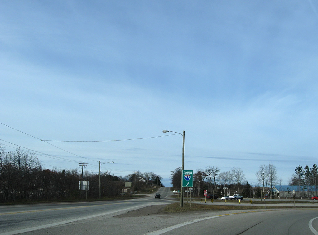
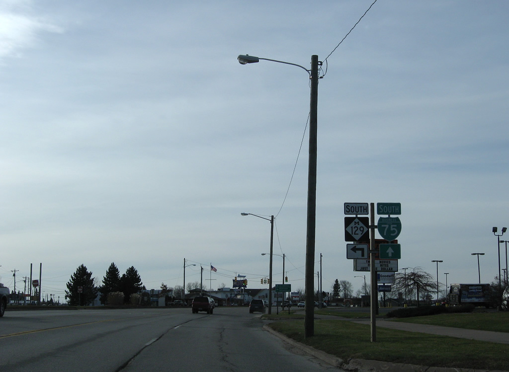
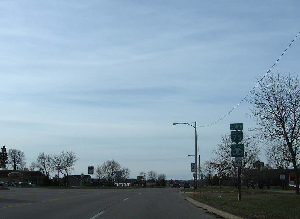
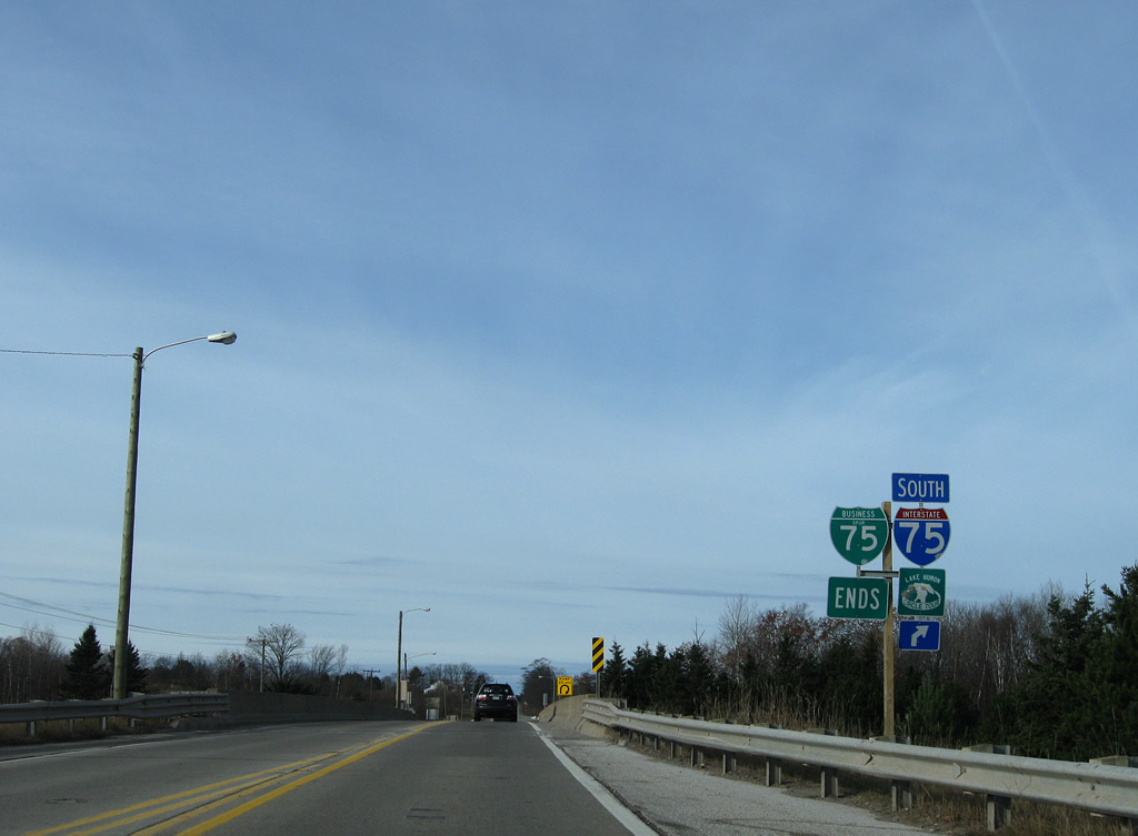
A loop ramp joins Interstate 75 south to St. Ignace and the Mackinac Bridge.
11/06/09
scenes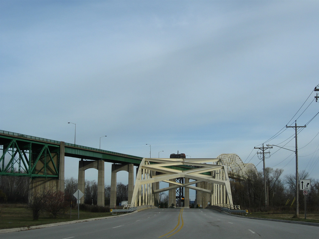
A steel arch bridge carries West Portage Avenue across the Edison Power House Canal next to the International Bridge. The 260-foot long bridge was built in 1970.2
11/06/09
A flasher hangs above the intersection with Spruce Street just north of the West Portage Avenue Bridge. Spruce Street parallels Portage Avenue eastward to Business Spur I-75 (Ashmun Street) and Easterday Avenue.
11/06/09
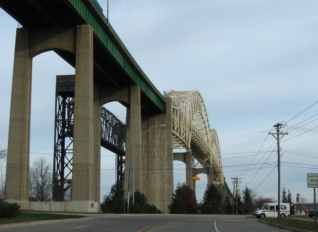
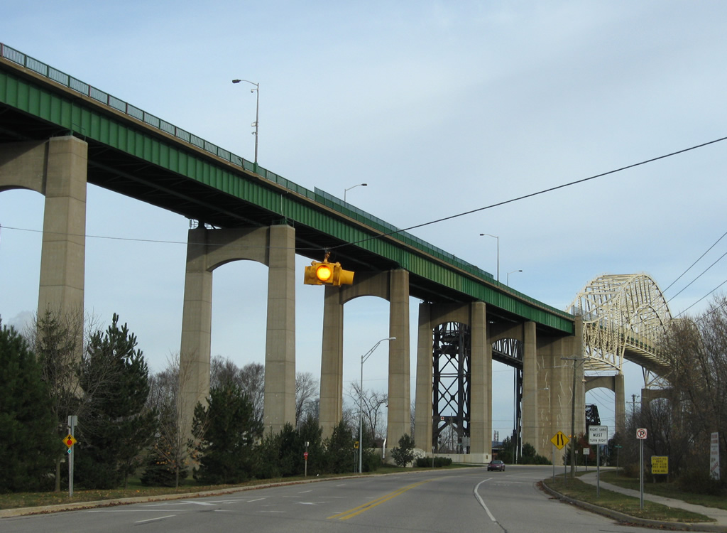
Ridge Street crosses West Portage Avenue next to pier supports for the International Bridge. A cantilevered steel through arch bridge, the International Bridge carries two lanes with a 27.9 foot deck and a length of 9,280 feet3
11/06/09
West Portage Avenue turns eastward parallel to the South Canal of the Soo Locks en route to Downtown Sault Ste. Marie. The Soo Locks consist of parallel canals and locks enabling ships to bypass St. Marys Falls and its associated rapids.
11/06/09
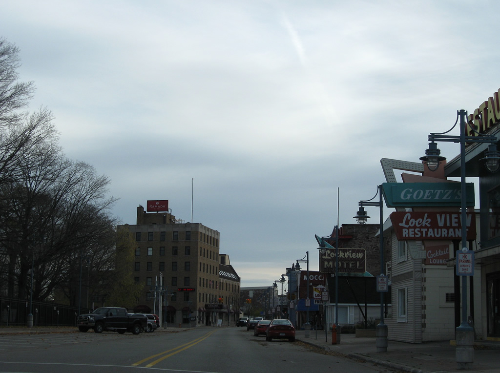
Entering the Sault Ste. Marie business district along West Portage Avenue after Ferris Street.
11/06/09
A set of traffic lights hang above the intersection of West Portage Avenue and Osborn Boulevard. Osborn Boulevard connects Spruce Street with Park Place.
11/06/09
Business Spur I-75 overtakes East Portage Avenue from Ashmun Street at the next signal. Ashmun Street north to Water Street east was the former eastern extent of U.S. 2 to the ferry docks that linked with Sault Ste. Marie, Ontario.1
11/06/09
References:
- Michigan Highways: Business Connections 32 through 94.
- West Portage Avenue Bridge. http://bridgehunter.com/mi/chippewa/west-portage-avenue/ Bridgehunter.com.
- International Bridge. http://bridgehunter.com/mi/chippewa/17117034000B010/ Bridgehunter.com.
- Tower Of History - Sault Ste. Marie Michigan Historic Sites.
- West Portage Avenue Bridge. http://bridgehunter.com/mi/chippewa/174602800065B01/ Bridgehunter.com.
- Ashmun Street Bridge. http://bridgehunter.com/mi/chippewa/ashmun/ Bridgehunter.com.
Photo Credits:
- ABRoads: 11/06/09
Connect with:
Page Updated Thursday October 24, 2013.