
Interstate 75

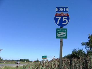
Interstate 75 travels nearly 400 miles in Michigan, joining the Upper and Lower Peninsulas across the Mackinac Bridge between Mackinaw City and St. Ignace. A heavily traveled route through the Detroit metropolitan area, I-75 runs northeast from Toledo, Ohio to Monroe and the south suburbs at Wayne County. I-75 leads directly to Downtown along the Fisher Freeway, where it turns northwest onto the Walter P. Chrysler Freeway. Continuing into Oakland County, I-75 advances to the cities of Royal Oak, Madison Heights and Troy en route to Pontiac.
Leading northwest into Genesse County, Interstate 75 becomes rural again to I-475, the urban loop through Flint. U.S. 23 accompanies I-75 north from Flint to Saginaw, where I-675 loops west to Downtown, and Bay City. The two part ways beyond Saginaw Bay, with U.S. 23 turning east toward Lake Huron and I-75 remaining northwest to Grayling. I-75 replaced U.S. 27 north to Gaylord and Mackinaw City, where it overtakes U.S. 31 and U.S. 23 to the Mackinac Bridge.
Replacing U.S. 2, Interstate 75 across the Upper Peninsula runs northeast from St. Ignace to Sault Ste. Marie. I-75 north concludes at the tolled Sault Ste. Marie International Bridge to Sault St. Marie in Ontario, Canada.
Interstate 75 Michigan Guides
North - Ohio to Rockwood - 30 photos
North - Detroit - 14 photos
South - Monroe to Ohio - 4 photos
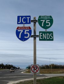
Business Loop I-75 - St. Ignace - 38 photos
Business Spur I-75 - Sault Ste. Marie - 56 photos
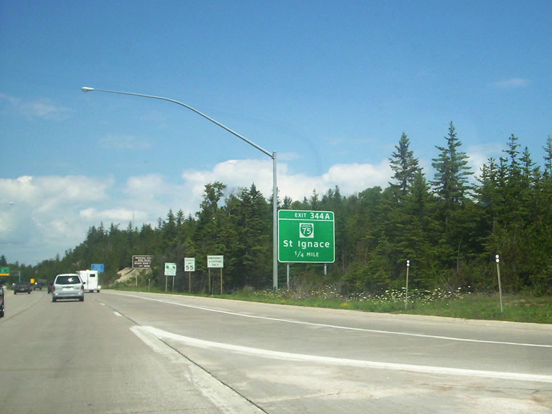
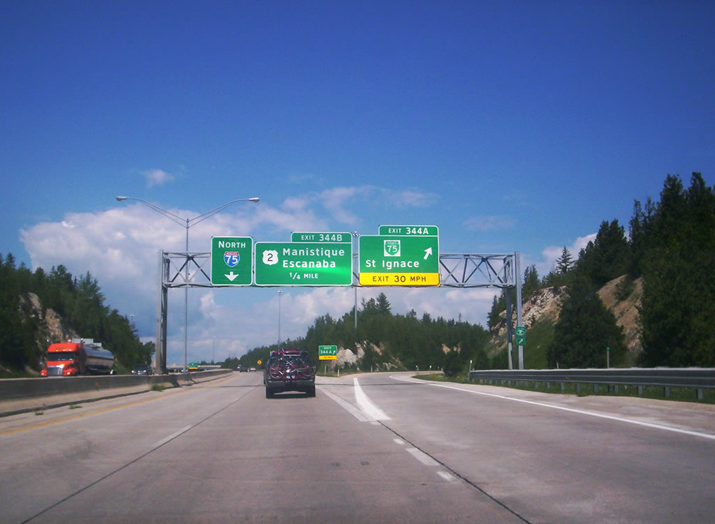
Advancing north from the Michigan Welcome Center and Mackinaw Bridge Toll Plaza, Interstate 75 meets U.S. 2 west and Business Loop I-75 north at a three quarter cloverleaf interchange (Exit 344) in St. Ignace.
07/28/07
Business Loop I-75 follows the former alignment of U.S. 2 through St. Ignace. The route follows State Street along East Moran Bay to Mackinac County Airport (83D) and Evergreen Shores.
07/28/07
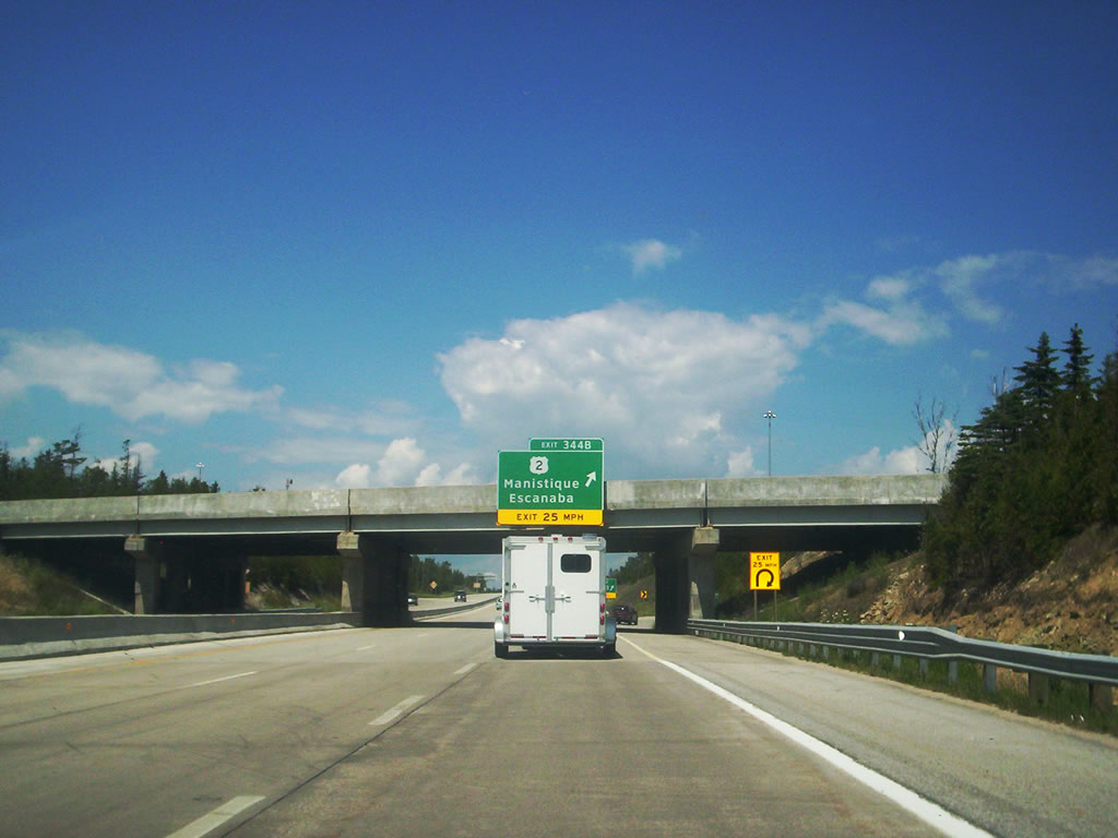
Exit 344B loops onto the westbound beginning of U.S. 2 to Manistique, Gladstone and Escanaba. Prior to 1983, U.S. 2 continued northeast along or with Interstate 75 to Sault Sainte Marie.1
07/28/07
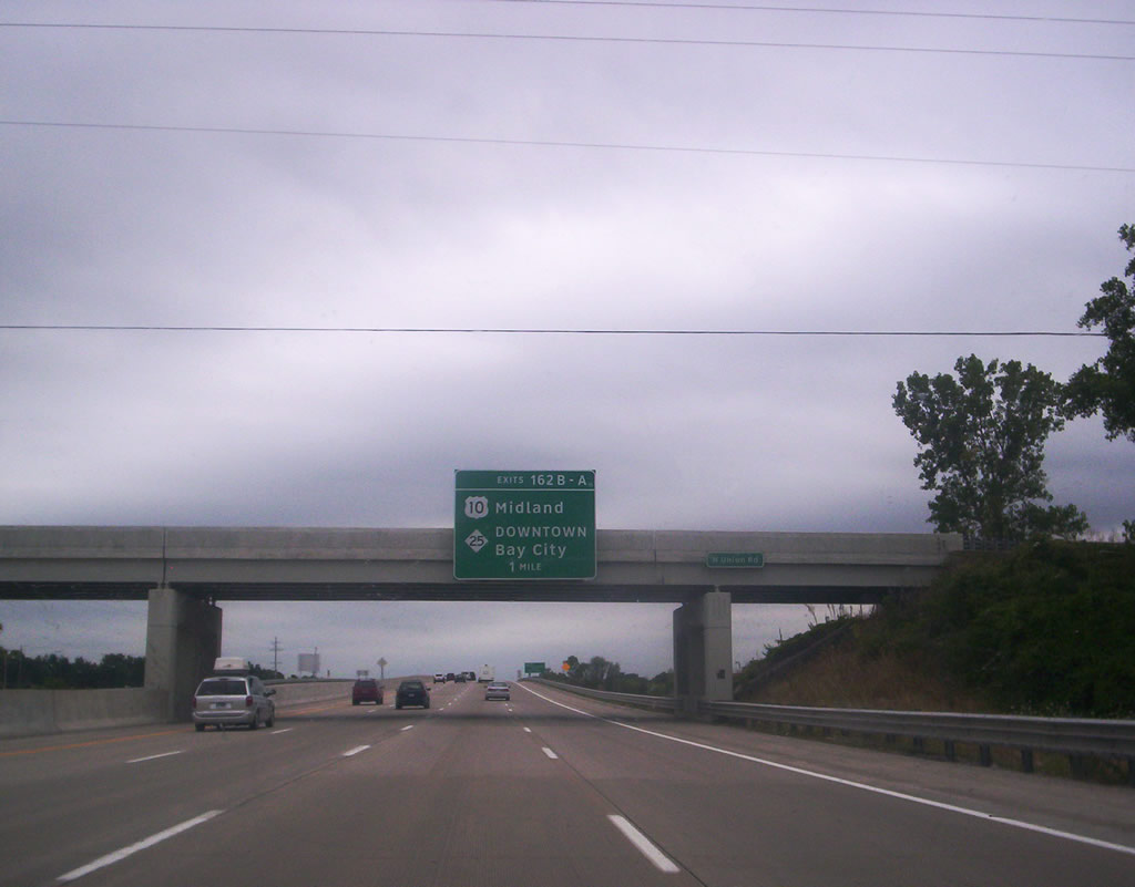
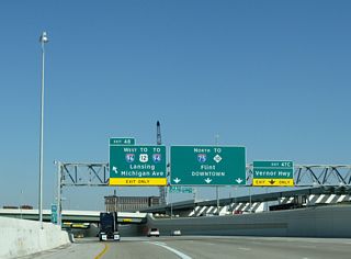
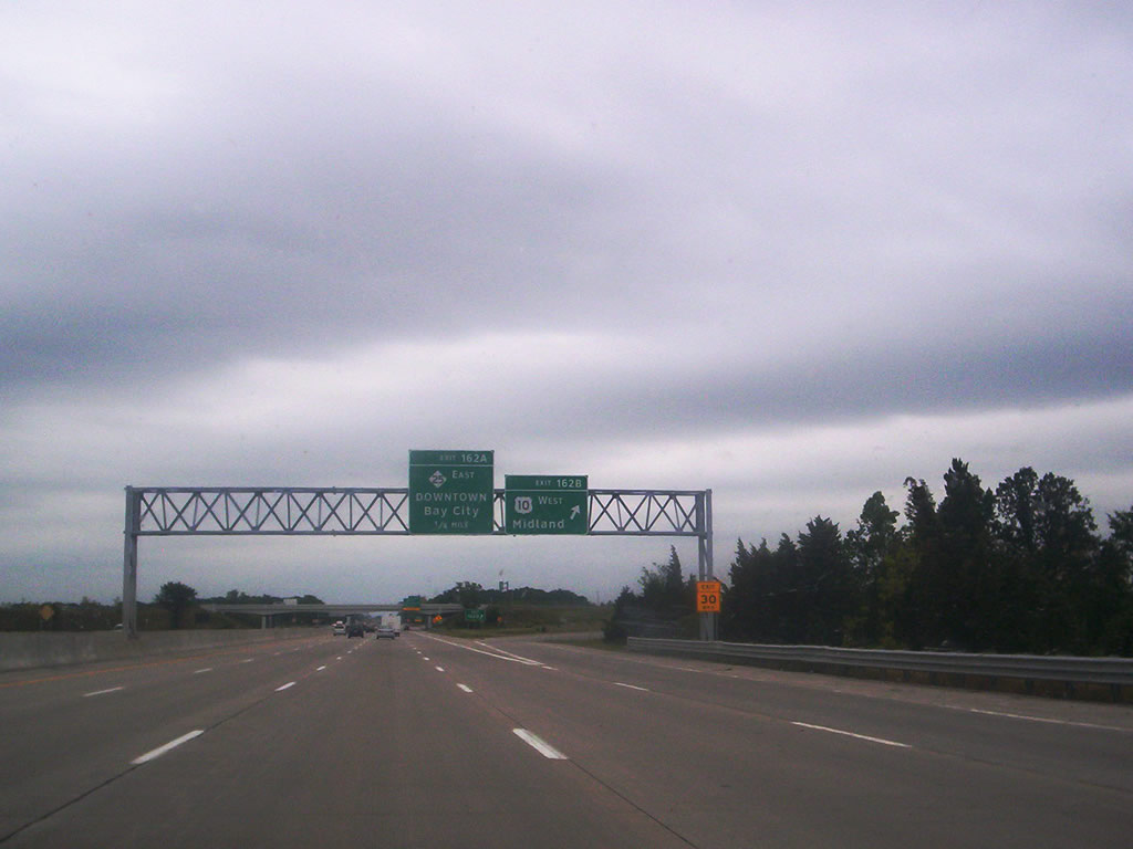
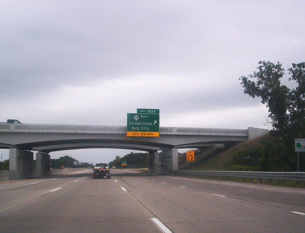
I-75/U.S. 25 converge with U.S. 10 east and M-25 west at a cloverleaf interchange (Exit 162) in Monitor Township. U.S. 10 begins at the forthcoming exchange, traveling west to Midland and Ludington on Lake Michigan. M-25 heads eastward with Business Spur I-75 into Downtown Bay City.
07/28/07
U.S. 10 constitutes a freeway west from Exit 162B to U.S. 127 at Clare. Mostly replaced by Interstate 75, U.S. 10 continued southeast to Downtown Detroit until 1987.2
07/28/07
A 154.93 mile long highway,3 M-25 arcs northeast along Saginaw bay and Lake Huron to Port Austin and Harbor Beach. The trunk highway continues south to Port Huron. Business Spur I-75 overlaps with M-25 east 3.05 miles to M-84 (Washington Avenue) in Downtown Bay City.
07/28/07
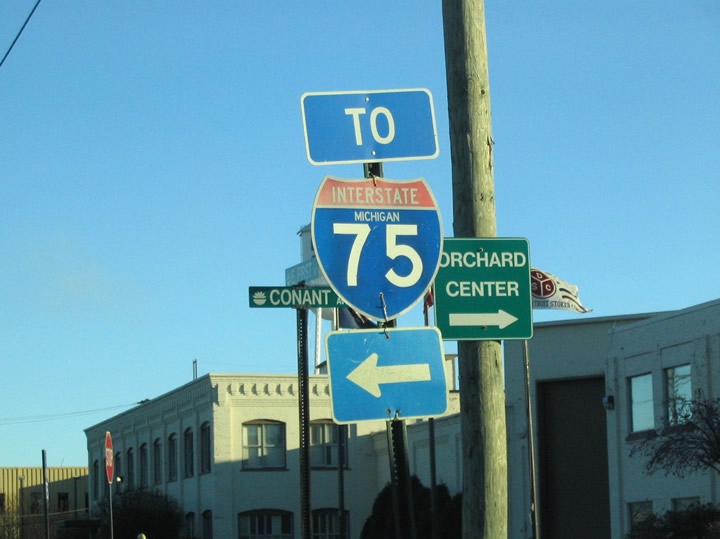
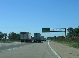
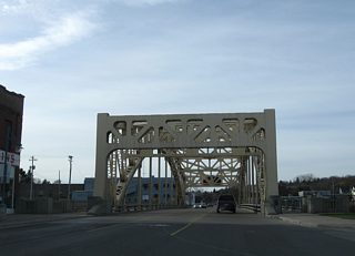
Replaced trailblazer at the intersection of E 1st Street, Conant Avenue and Front Street in the city of Monroe. Front Street parallels the River Raisin east to a folded diamond interchange with I-75 at Exit 13.
11/13/04
References:
Photo Credits:
- Ryan Pooya: 07/28/07
- Carter Buchanan: 11/13/04
Connect with:
Page Updated Friday August 06, 2021.