
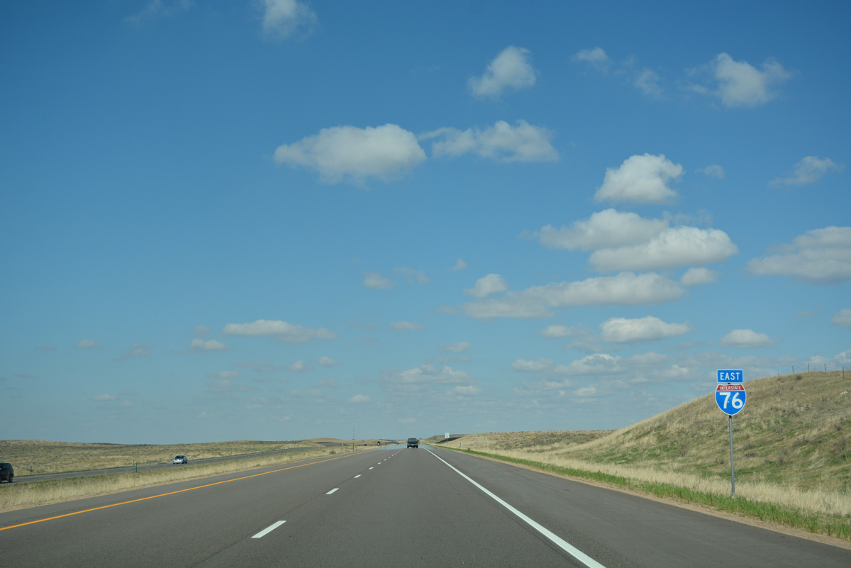
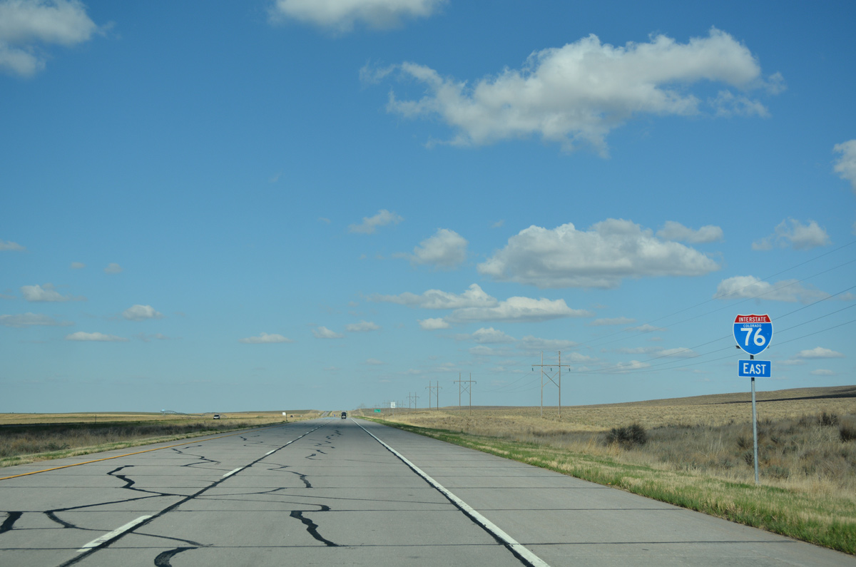
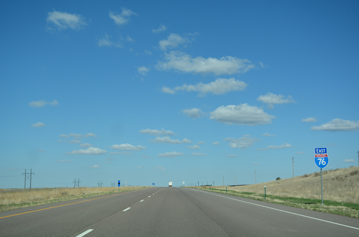
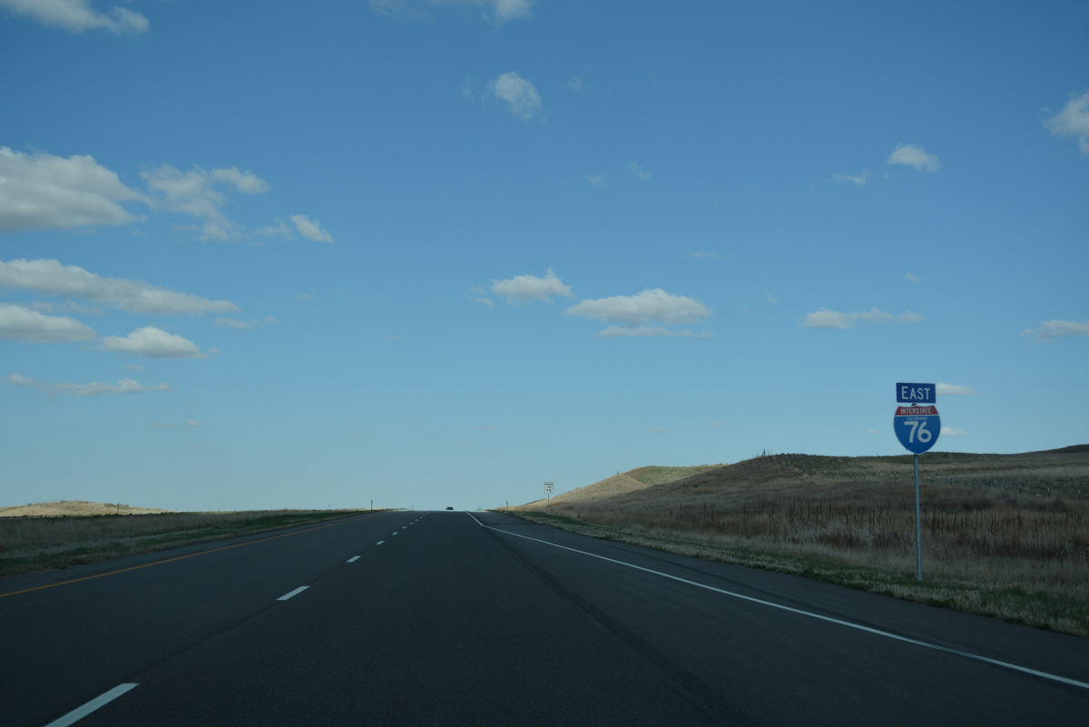
Interstate 76 East - Sterling to Julesburg
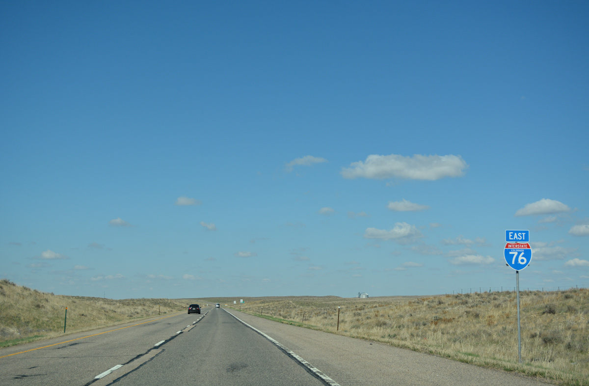
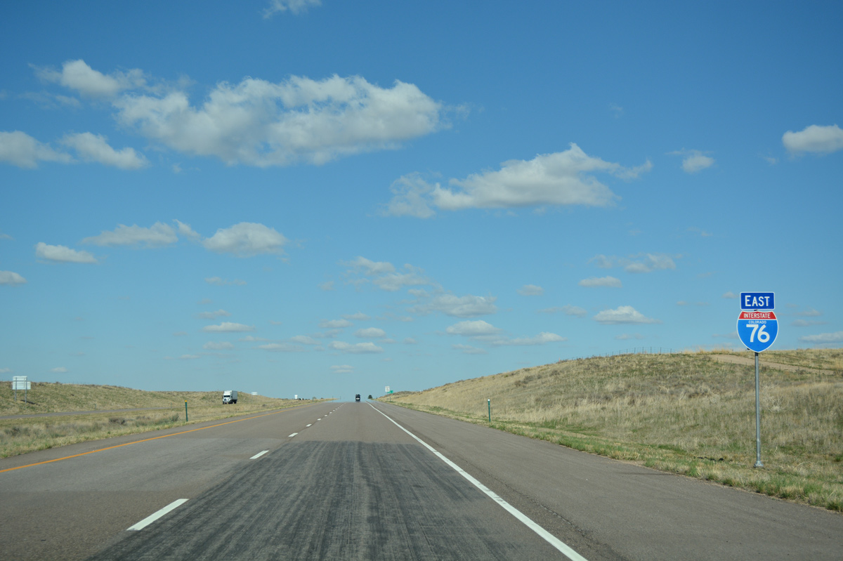
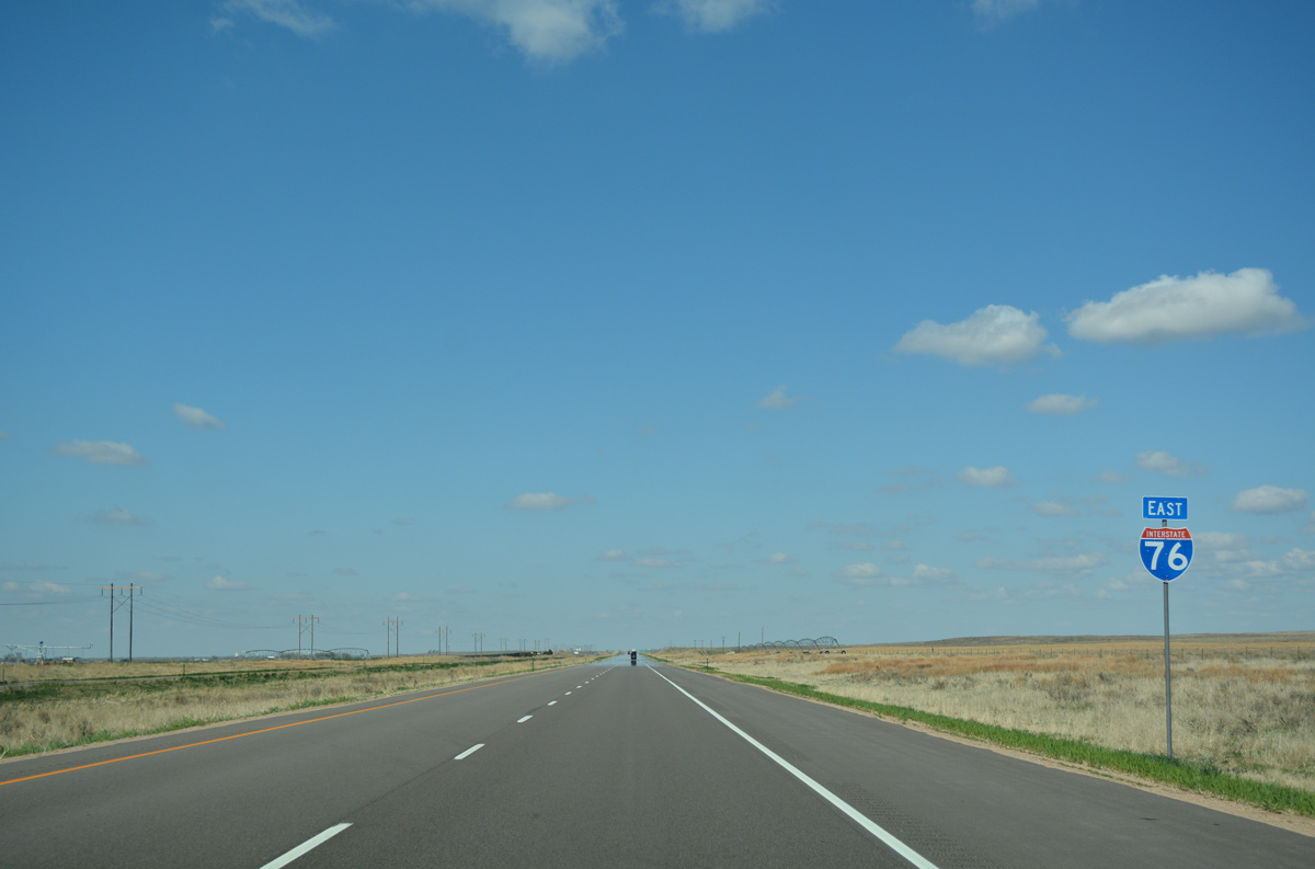
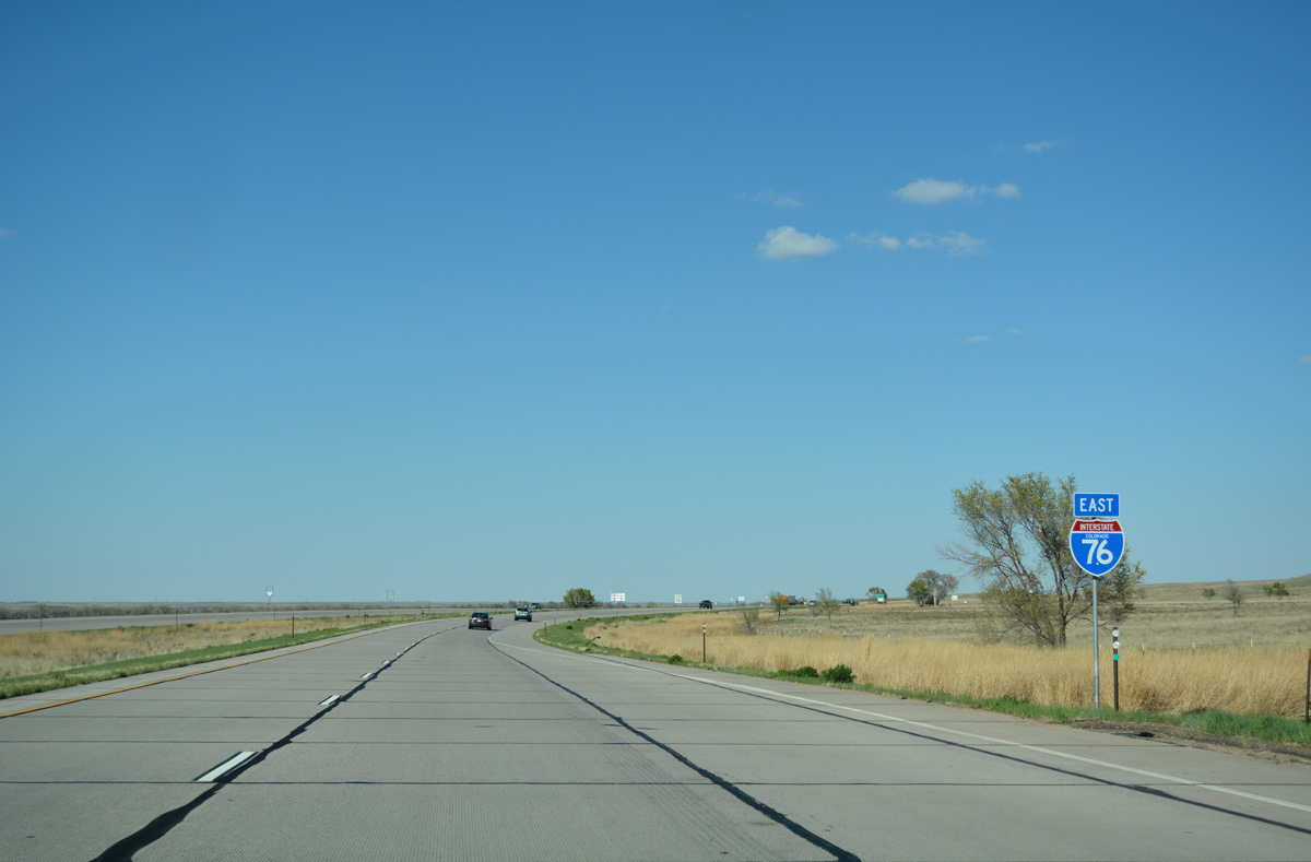
 East
East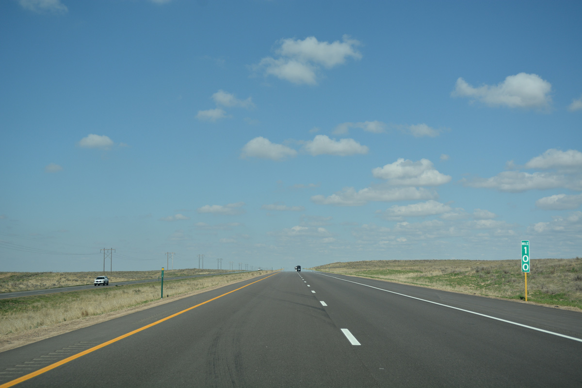
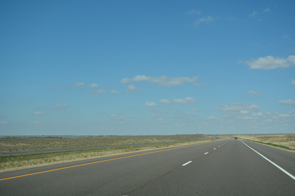
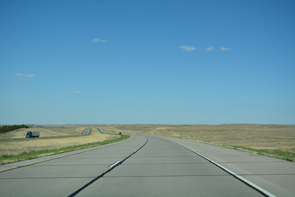
Low rise hills make up the landscape along Interstate 76 to Prewitt Reservoir.
04/22/17
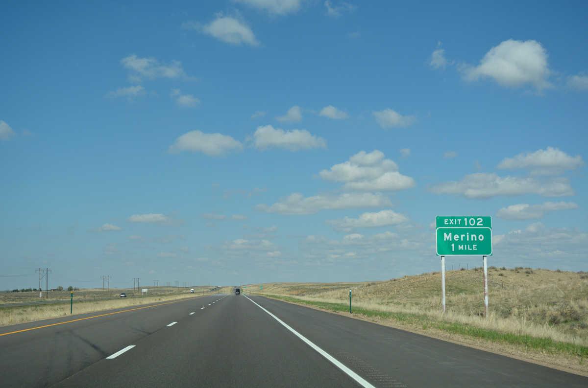
The lone Washington County along Interstate 76 is the diamond interchange with County Road Q.
04/22/17
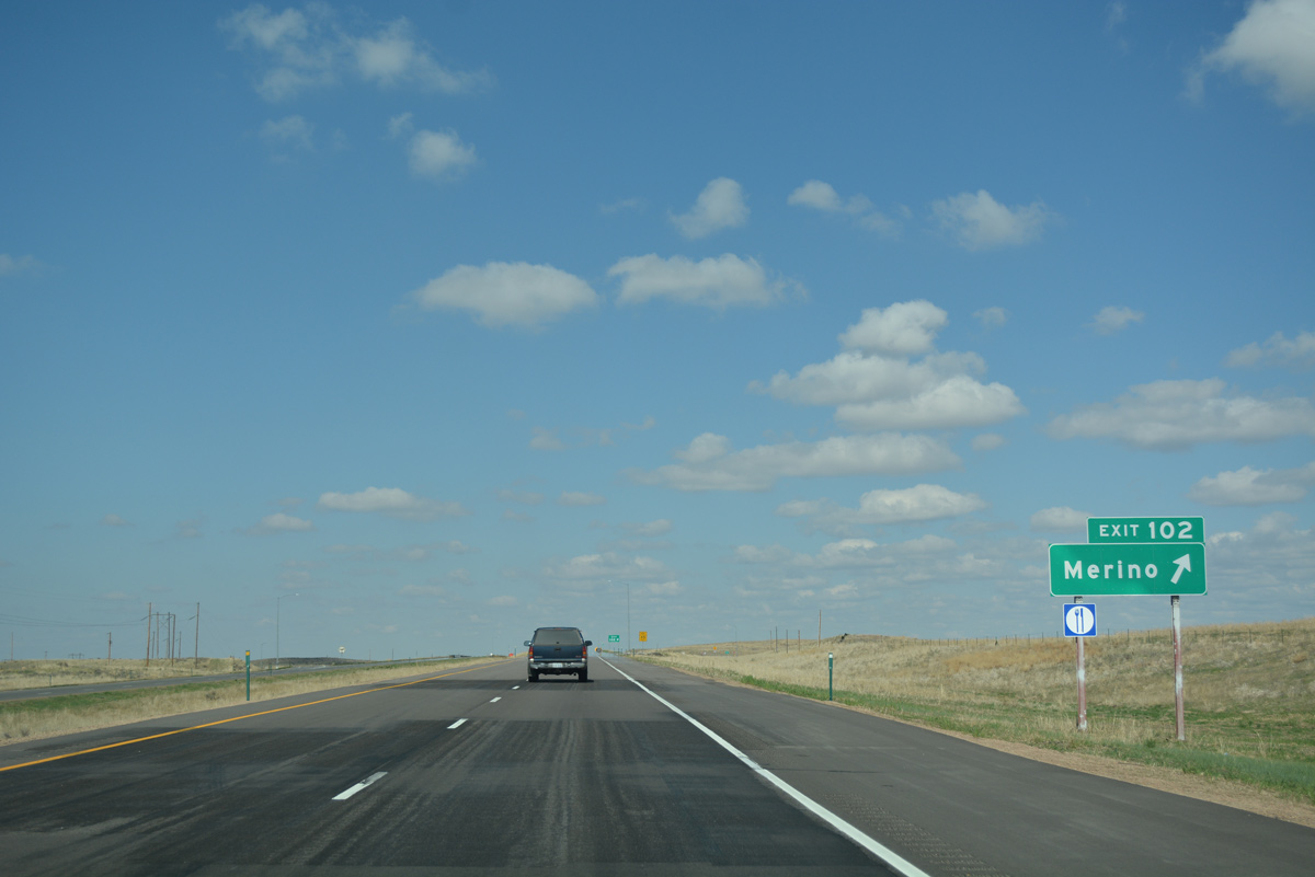
County Road Q stems 1.2 miles north from Exit 102 to Business Loop I-76/U.S. 6. U.S. 6 stays west of Prewitt Reservoir as it continues north 8.5 miles from County Road Q to Merino.
04/22/17
Reassurance marker for Interstate 76 east posted after Exit 102.
04/22/17
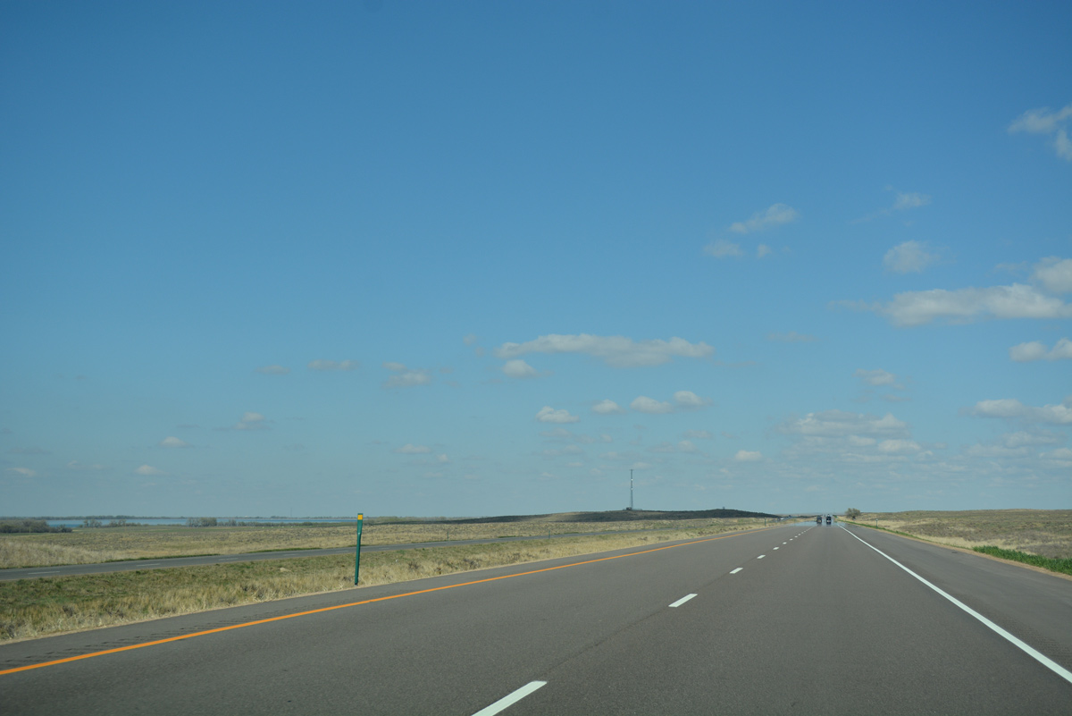
Prewitt Reservoir comes into view to the north of Interstate 76. An inlet canal from the South Platte River supplies water to the lake.
04/22/17

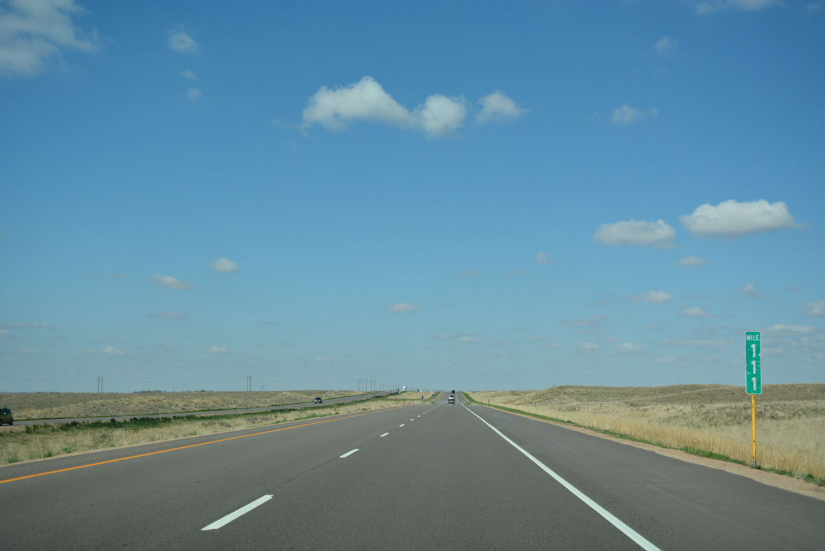
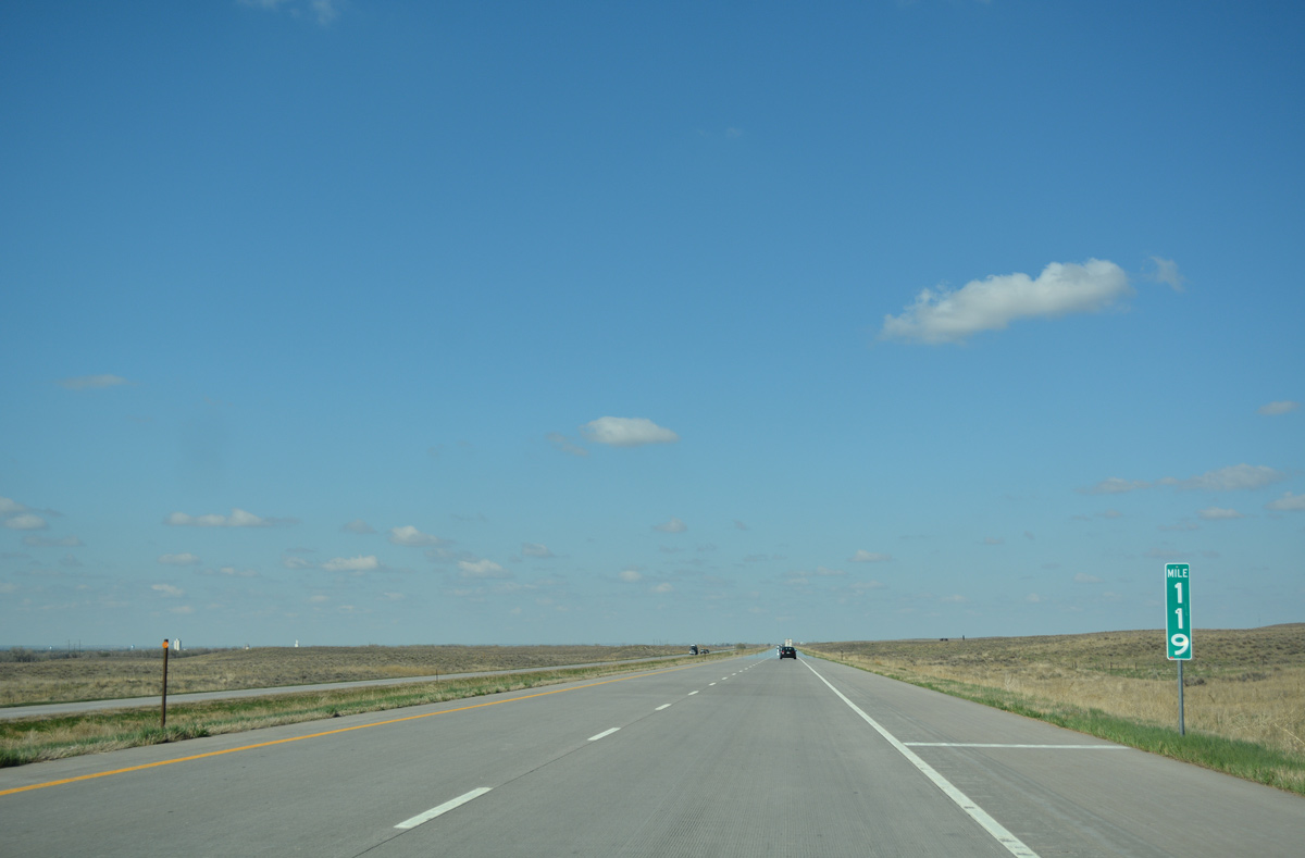
The 12.6 mile exit less stretch to Exit 115 is the longest along the western Interstate 76.
04/22/17
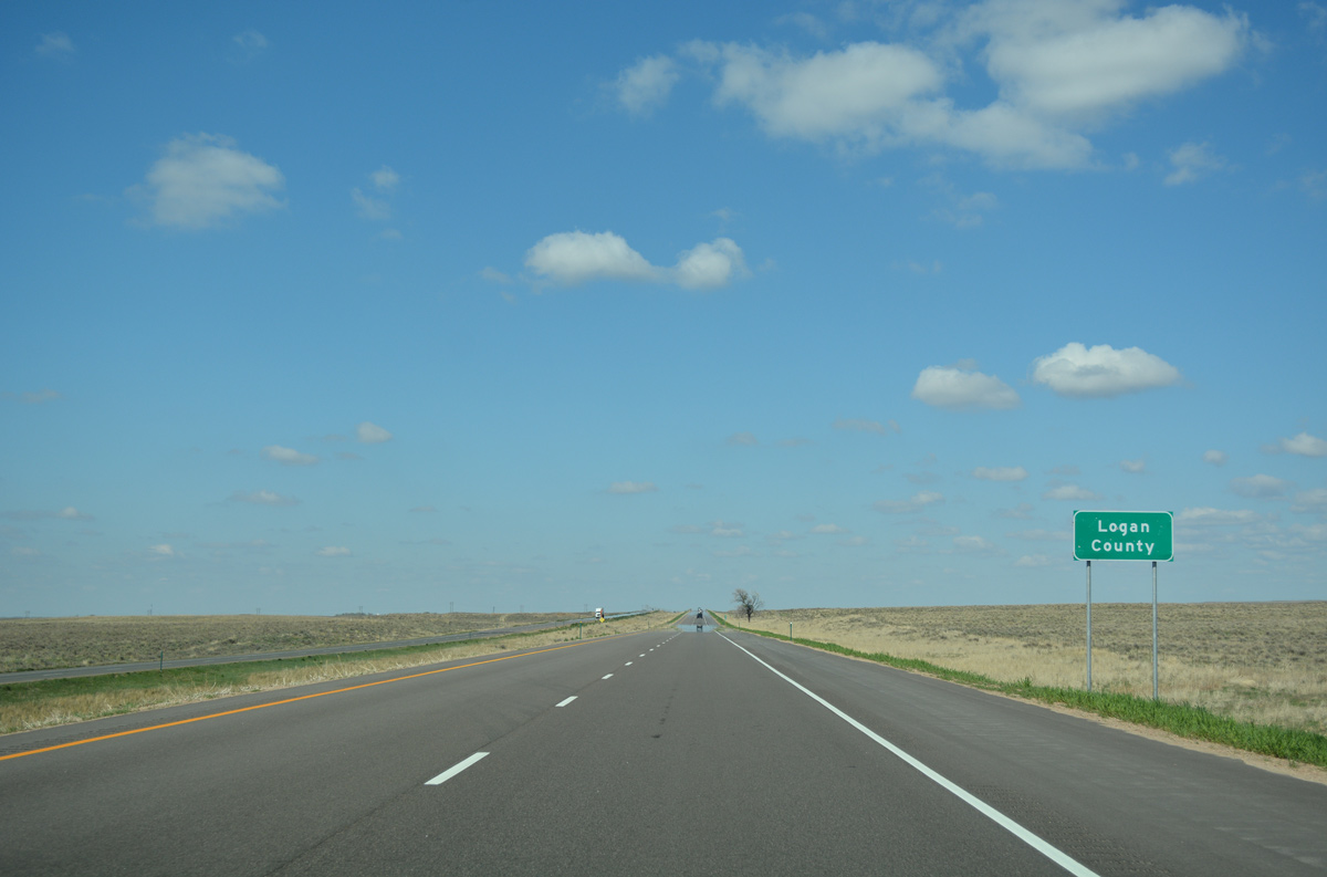
Interstate 76 enters Logan County, which includes the towns of Merino and Atwood and the city of Sterling.
04/22/17
The freeway skims eastern reaches of farm land along the South Platte River valley in southwest Logan County.
04/22/17
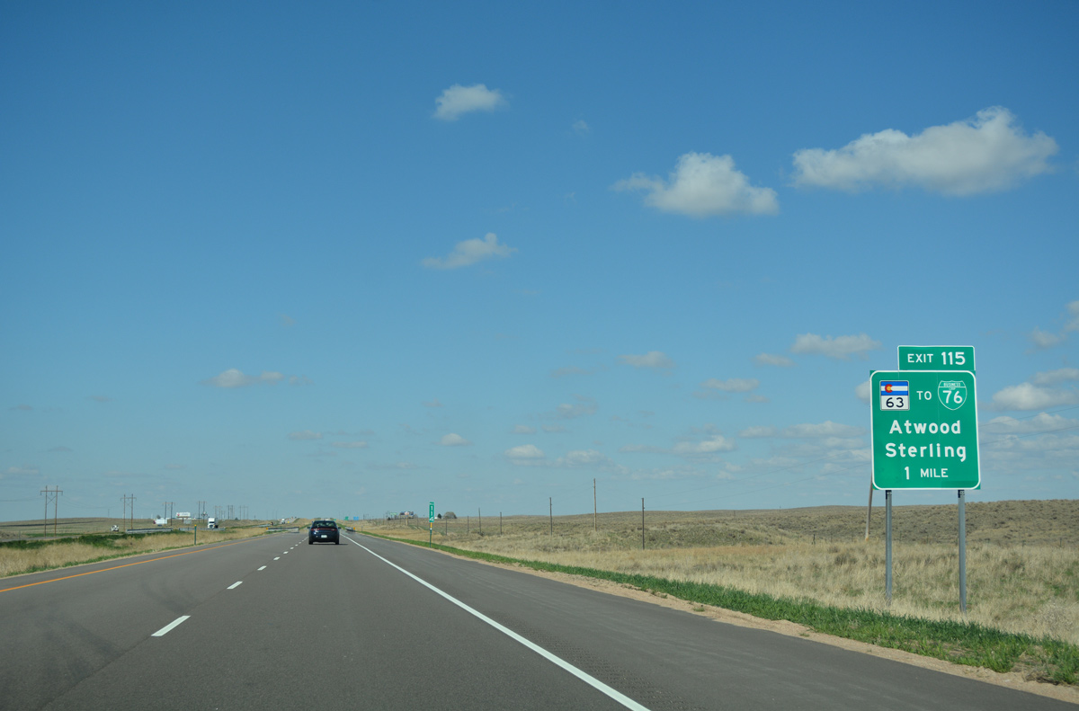
SH 63, a 56.41 mile long highway north from U.S. 36 at Anton to Business Loop I-76/U.S. 6 at Atwood, crosses paths with Interstate 76 in one mile.
04/22/17
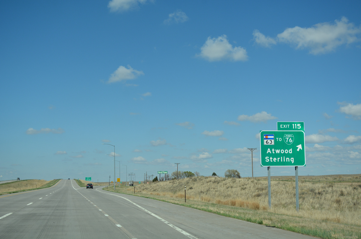
Eastbound Interstate 76 reaches the diamond interchange (Exit 115) with SH 63. SH 63 heads 24 miles south to U.S. 34 at Akron and three miles north to Atwood.
04/22/17
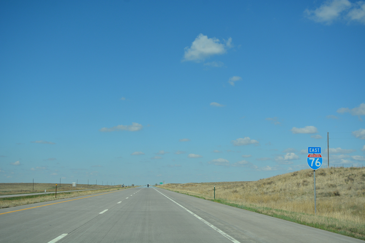
A nine mile exit less stretch ensues north from SH 63 on I-76 east.
04/22/17
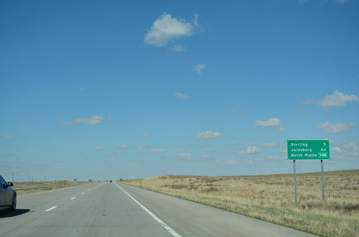
North Platte, Nebraska, 146 miles to the east along Interstate 80, debuts to eastbound travelers on this distance sign after Exit 115. Julesburg is less than an hour out.
04/22/17
CDOT recorded 9,700 vehicles per day (vpd) along Interstate 76 leading northeast to Sterling in 2015.
04/22/17
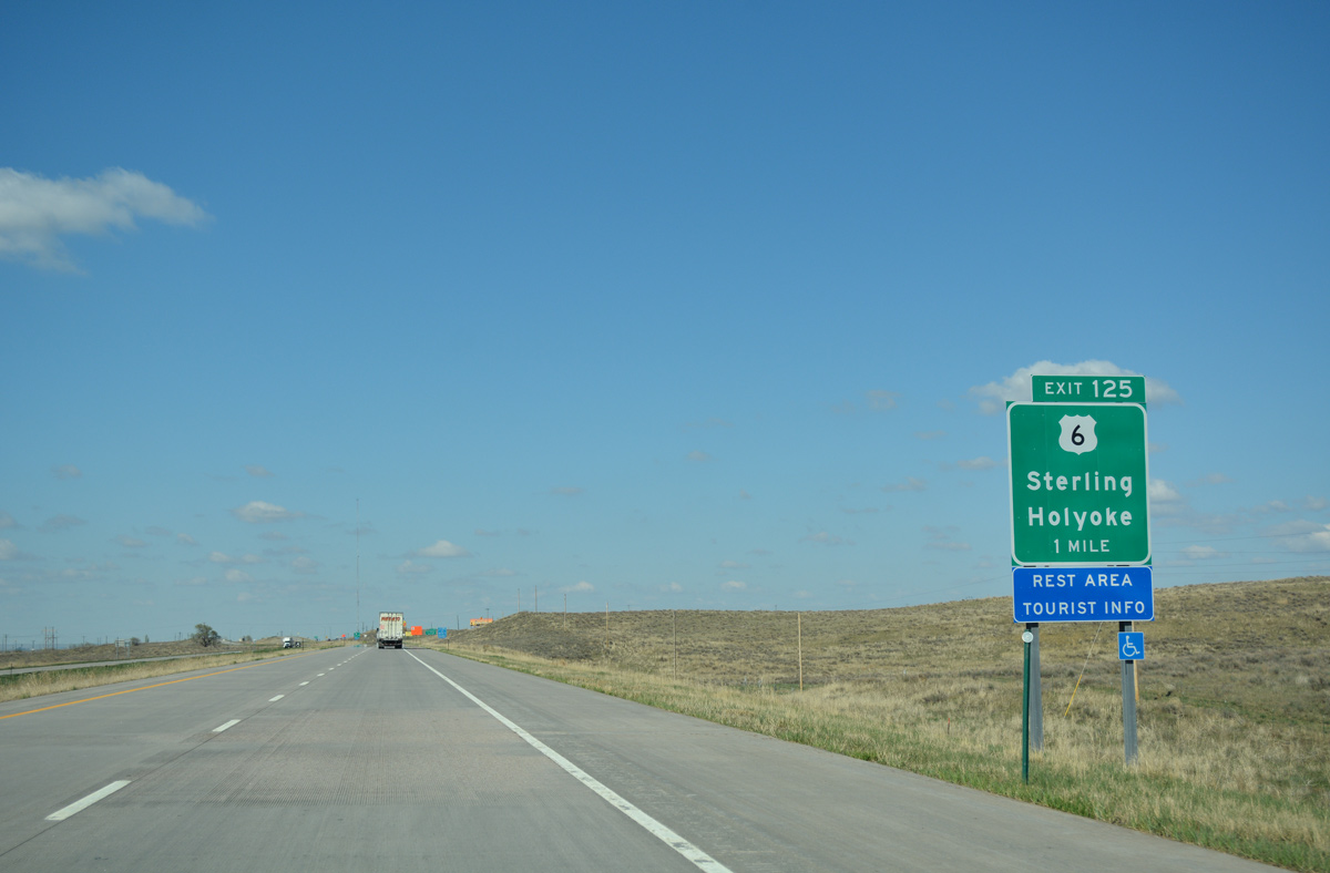
U.S. 6 turns east from Downtown Sterling to cross paths with Interstate 76 for the final time at Exit 125 through the east side of the city.
04/22/17
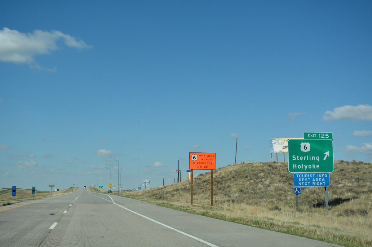
Now a diamond interchange, separates ramps formerly connected I-76 east with U.S. 6 west to Sterling and east to the Phillips County seat of Holyoke at Exit 125.
04/22/17
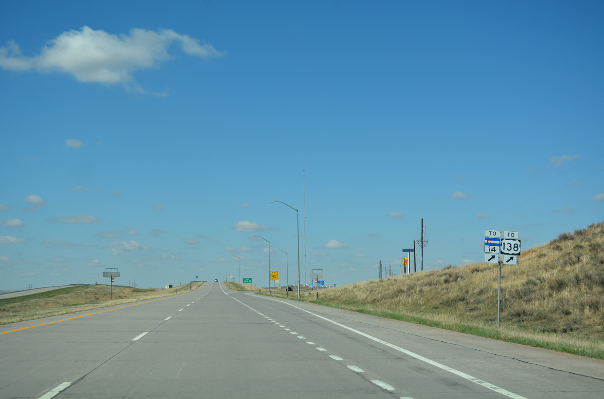
U.S. 6 west to the Sterling city center provides connections with the west end of U.S. 138 (3rd Street), SH 14 (Main Street) west toward Greeley and North Sterling State Park.
04/22/17
An off freeway rest area at the Logan County visitors center lies just west of Exit 125 on County Road 370 (Riverview Road).
09/01/04
Traffic counts decrease to 7,600 vpd (2015) as Interstate 76 progress northeast from Sterling.
04/22/17
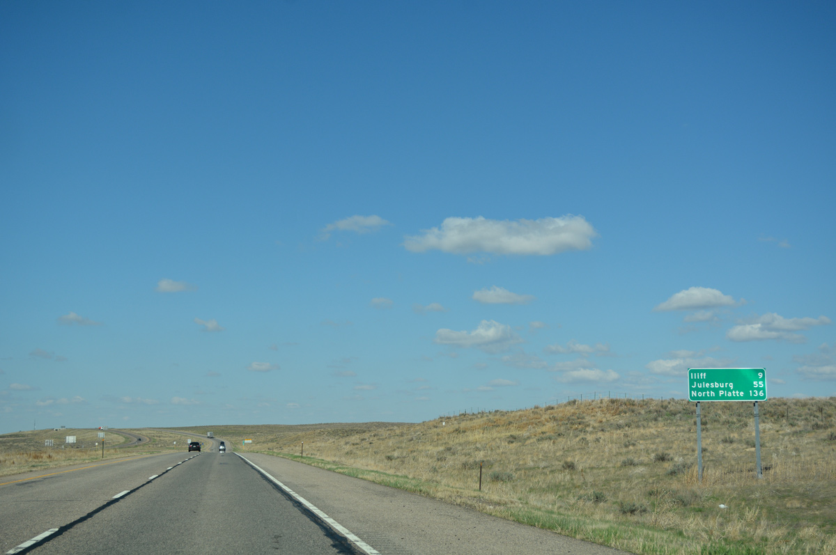
Distance sign posted 55 miles from Julesburg and 136 miles from North Platte, Nebraska.
04/22/17
Interstate 76 travels uninterrupted for 8.1 miles to Exit 134.
04/22/17
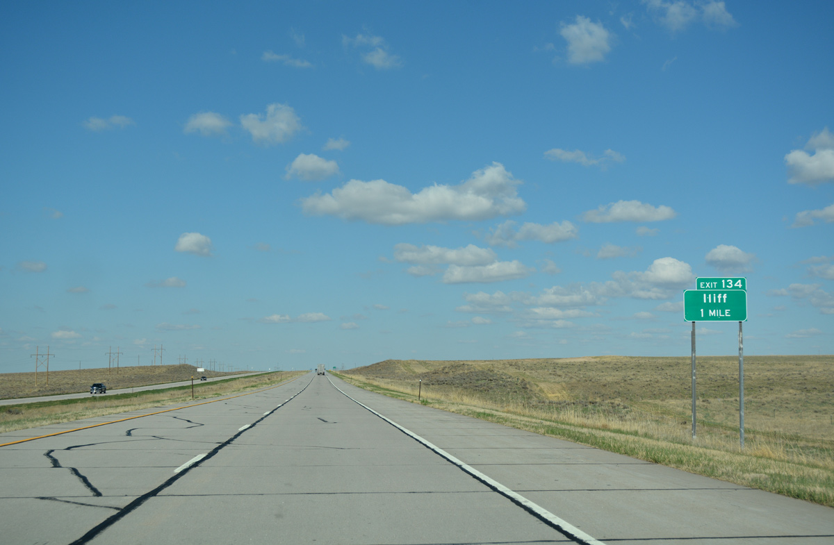
The first in a series of eight interchanges linking Interstate 76 with parallel U.S. 138 to the north of the South Platte River is Exit 134 with Logan County 55.
04/22/17
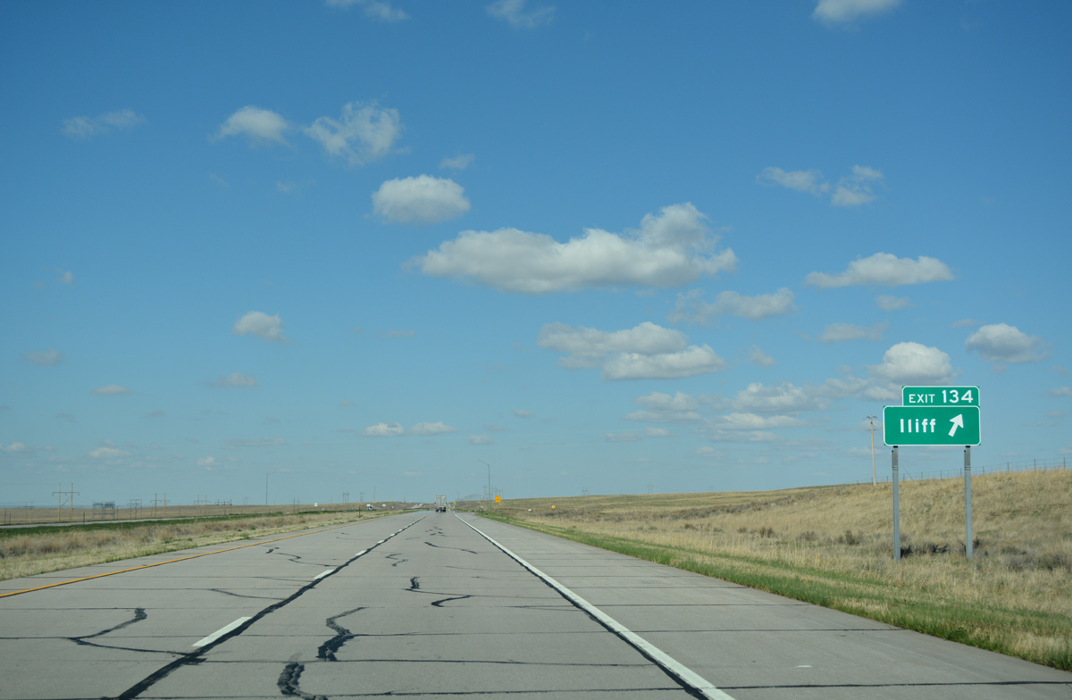
County Road 55 bee lines north 3.7 miles from the diamond interchange (Exit 134) with I-76 to U.S. 138 by the small town of Iliff.
04/22/17
Interstate 76 advances seven miles northeast to the Proctor exit and 48 miles to Julesburg at the northeastern corner of the state.
04/22/17
Traveling at around 3,900 feet above sea level, Interstate 76 shifts eastward between mileposts 138 and 139.
04/22/17

One mile ahead of the rural diamond interchange (Exit 146) with County Road 67 north to the settlement of Proctor.
04/22/17
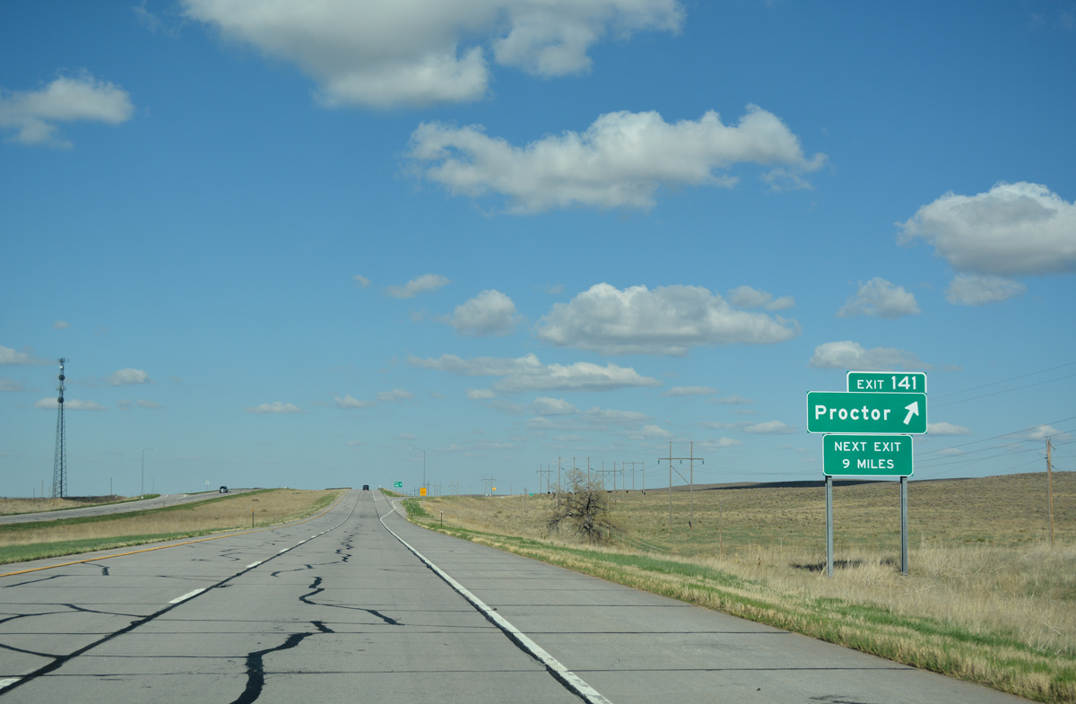
CR 67 intersects U.S. 138, 2.7 miles to the north of Exit 141 and continues south from I-76 through open ranch land 4.6 miles to CR 38.
04/22/17
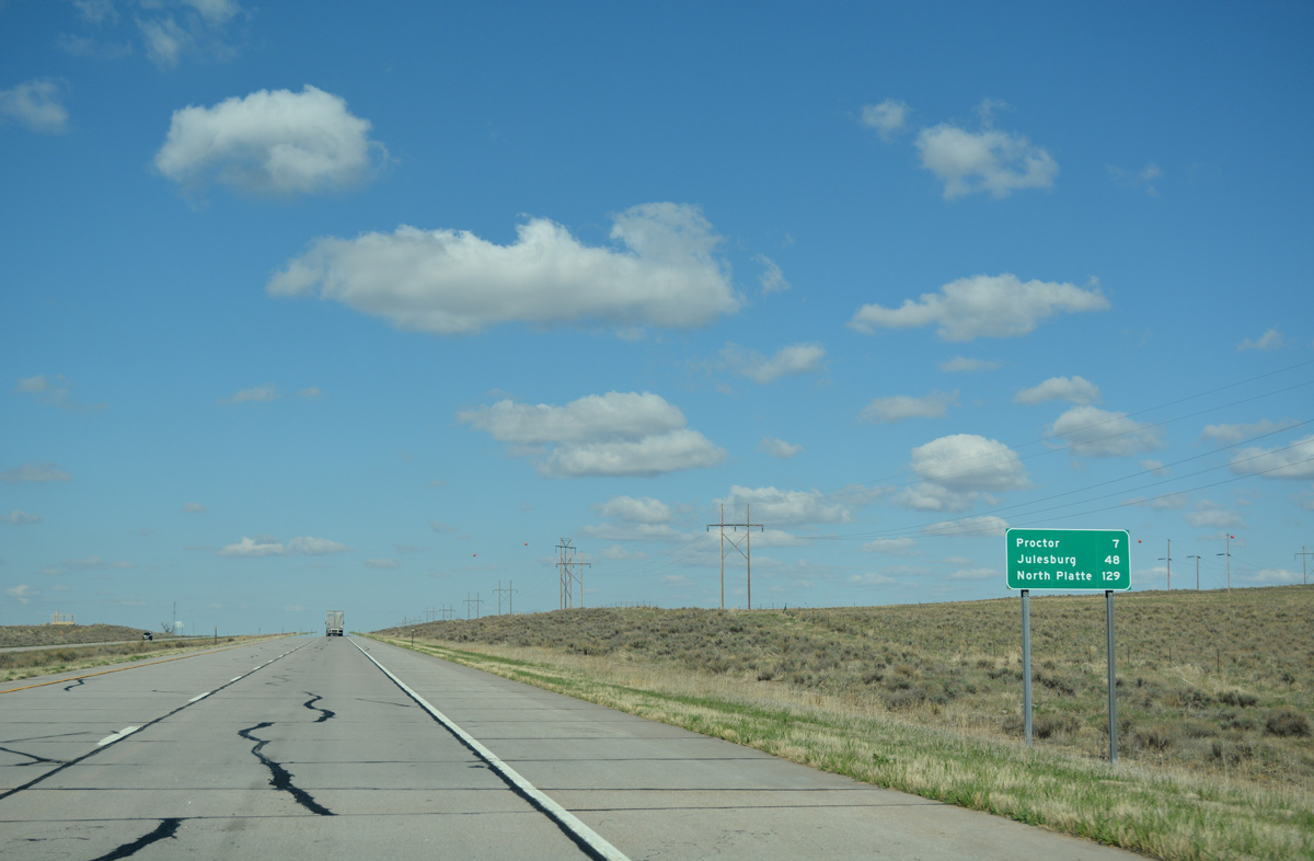
Separating agricultural areas to the west and open plains to the east, Interstate 76 next meets SH 55 in nine miles. Julesburg is 41 miles away.
04/22/17
Upcoming SH 55 runs just 5.66 miles south from U.S. 138 to County Road 81 near Tamarack Ranch State Wildlife Area.
04/22/17
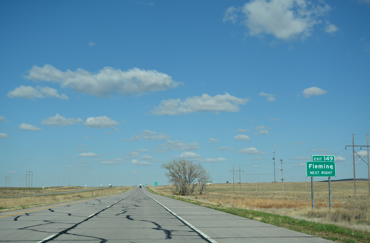
CR 81 extends south from SH 55 to become CR 83. CR 83 south to CR 36 provides a through route to the town of Fleming, which lies along U.S. 6.
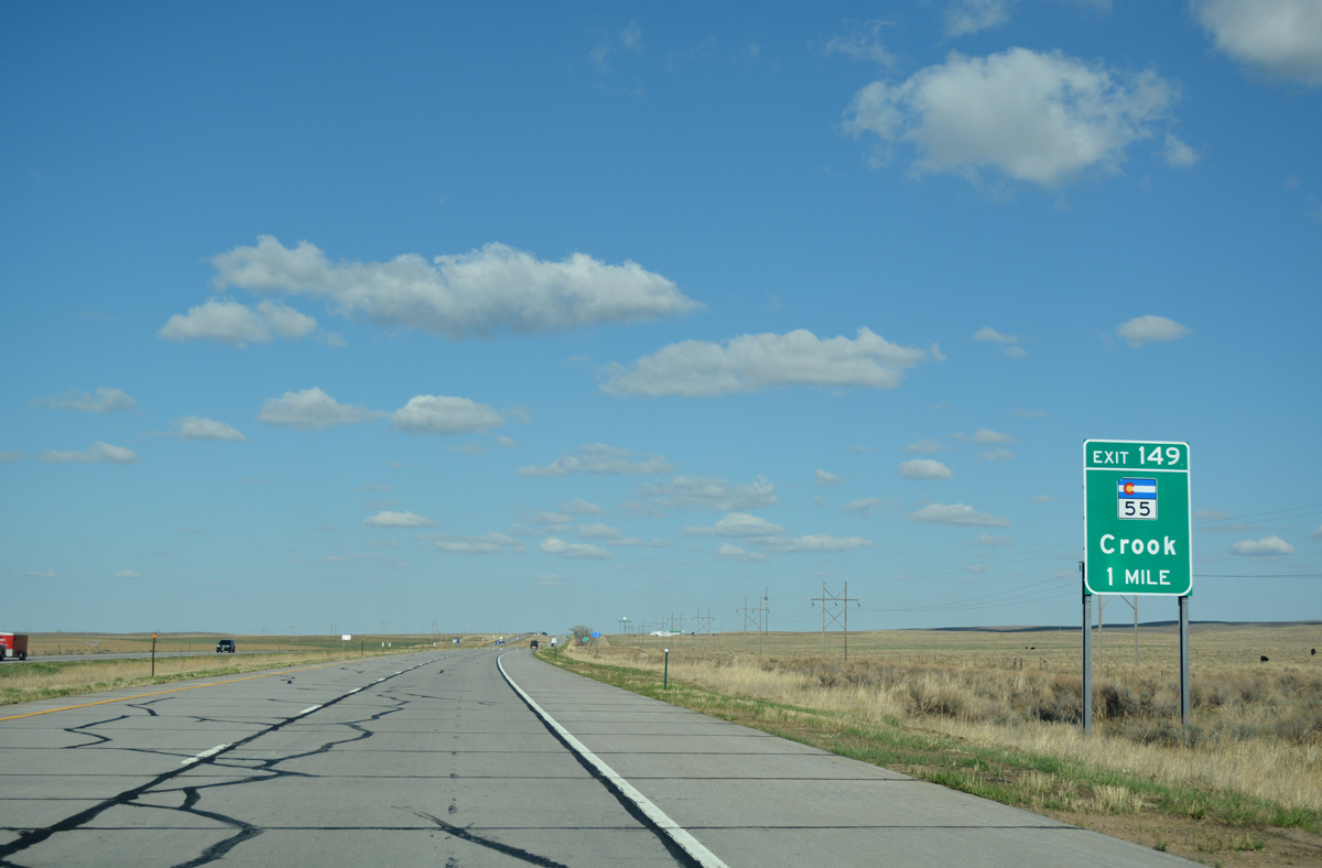
04/22/17

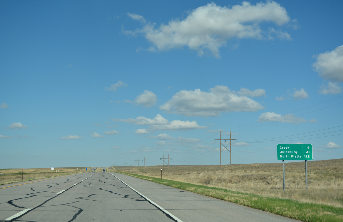
SH 55 leads north 2.4 miles from the diamond interchange (Exit 149) with Interstate 76 to U.S. 138 (2nd Avenue) in the small town of Crook.
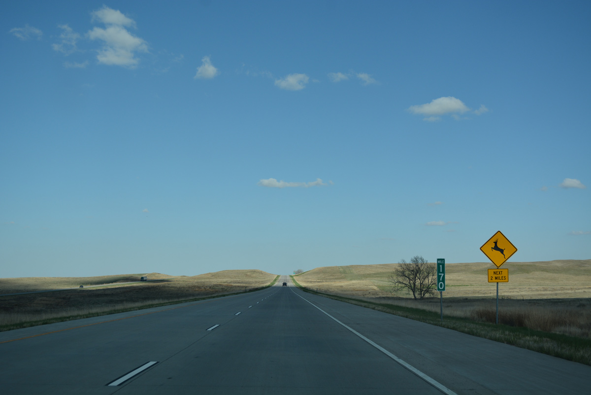
The placard pictured here is incorrect, as the next exit is just six miles ahead.
04/22/17
Continuing east, Interstate 76 passes by an abandoned set of rest areas 1.6 miles from SH 55.
04/22/17
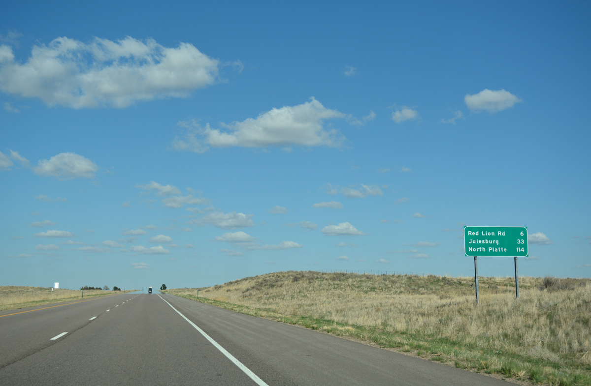
Travelers on I-76 reach Julesburg in 33 miles and North Platte, Nebraska in 114 miles via Interstate 80 east.
04/22/17
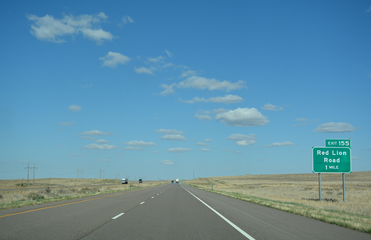
A diamond interchange (Exit 155) follows in one mile for Red Lion Road (County Road 93).
04/22/17
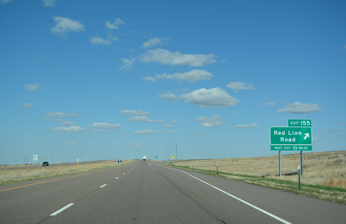
Red Lion Road crosses the South Platte River to link I-76 with U.S. 138. The rural exit serves areas of Tamarack Ranch State Wildlife Area to the south.
04/22/17
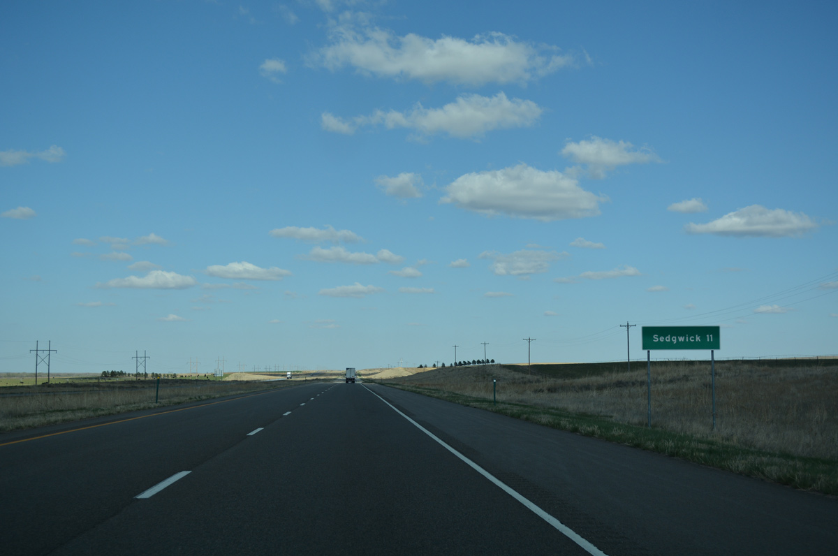
A long straight away takes Interstate 76 east 9.2 miles to the Sedgwick exit. The farming town lies 2.5 miles to the north of Exit 165.
04/22/17
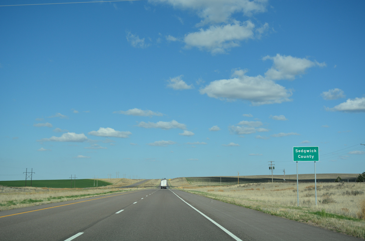
Crossing into Sedgwick County, the last along Interstate 76 east in Colorado.
04/22/17

SH 59, a 173.34 mile route originating from U.S. 40 at Kit Carson, meets Interstate 76 in one mile at Exit 165.
04/22/17
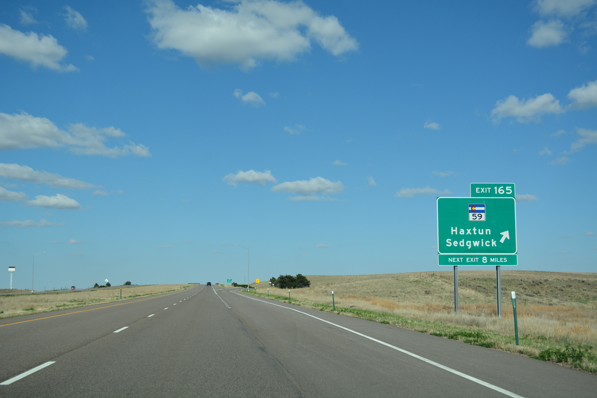
A lone service station is located by the diamond interchange (Exit 165) joining Intestate 76 with SH 59. The state highway ends at U.S. 138 in Sedgwick to the north. A stair stepped route leads the highway 24 miles south and west to U.S. 6 at Haxtun.
04/22/17
Interstate 76 remains lightly traveled, with 2015 counts at 7,200 vpd between Exits 165 and 172.
04/22/17
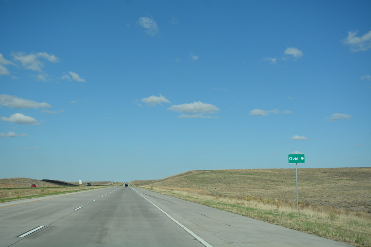
The small town of Ovid, nine miles to the northeast, is the lone destination referenced in place of Julesburg or North Platte, Nebraska.
04/22/17
The freeway turns east and expands to incorporate a large median beyond milepost 169.
04/22/17

One mile from the diamond interchange (Exit 172) with County Road 29 north to Ovid on I-76 east.
04/22/17
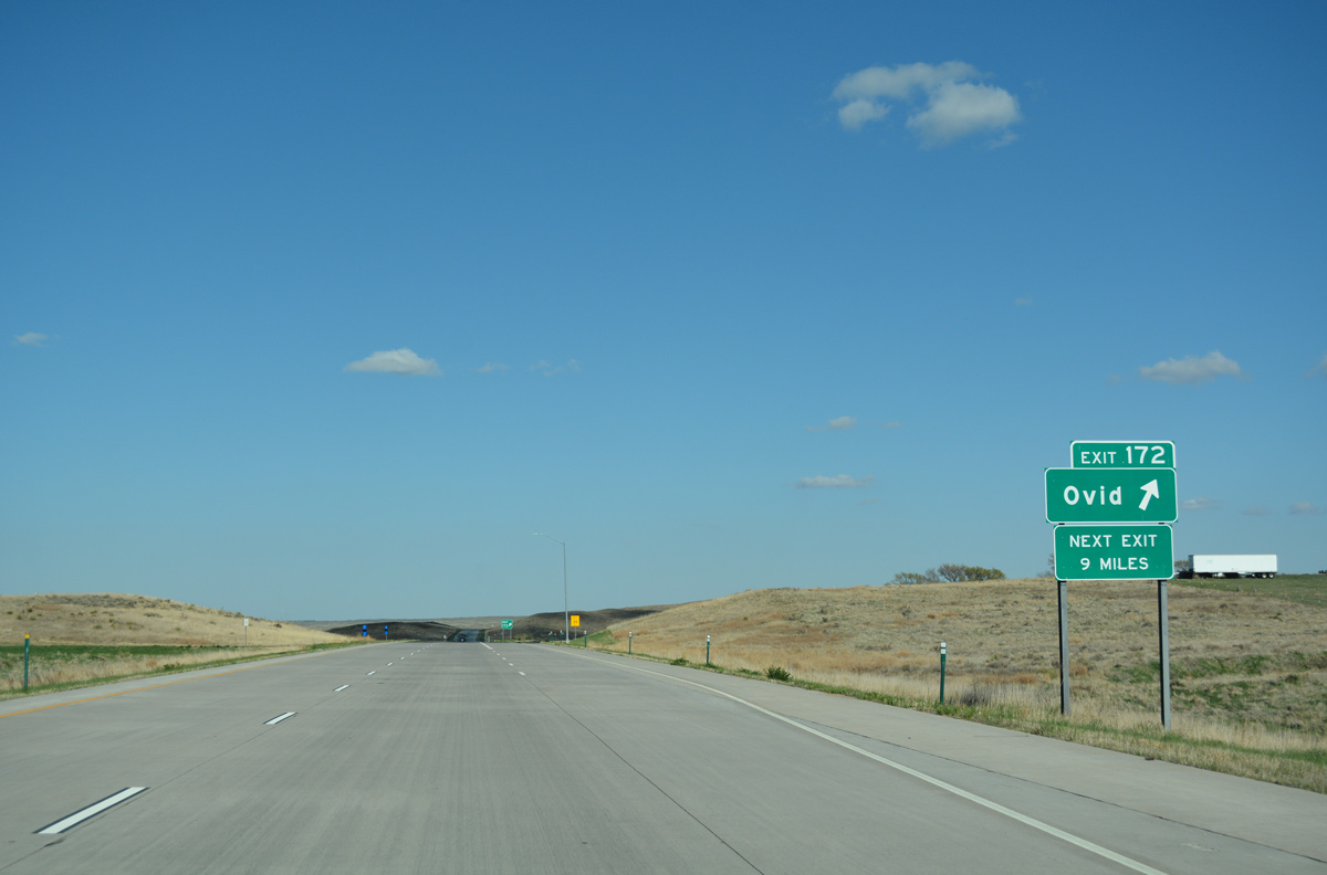
County Road 29 heads 2.4 miles north from Exit 172 to U.S. 138 (Saunders Avenue) at Main Street in the Ovid town center.
04/22/17
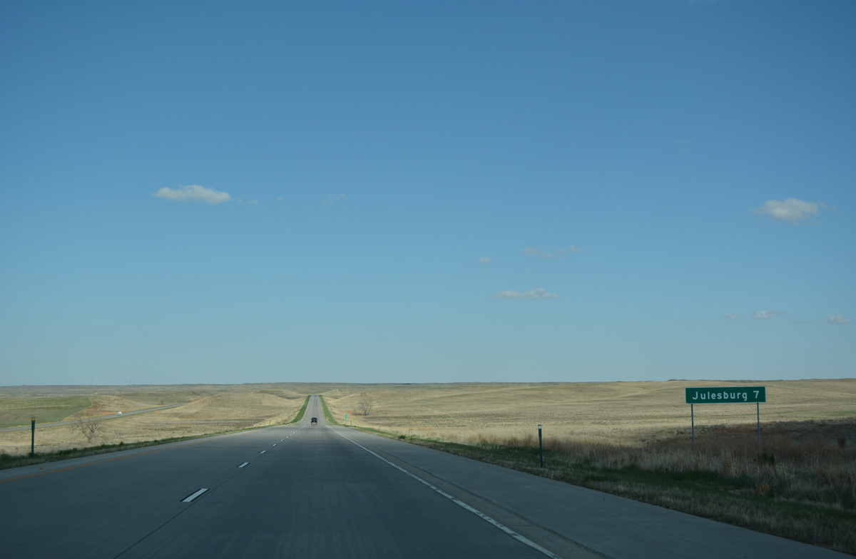
Julesburg, a town of around 1,200, is the last destination along Interstate 76 east in Colorado.
04/22/17
Matching the course of the South Platte River, Interstate 76 gradually curves northward between Johnson Spring and Johnson Lake.
04/22/17
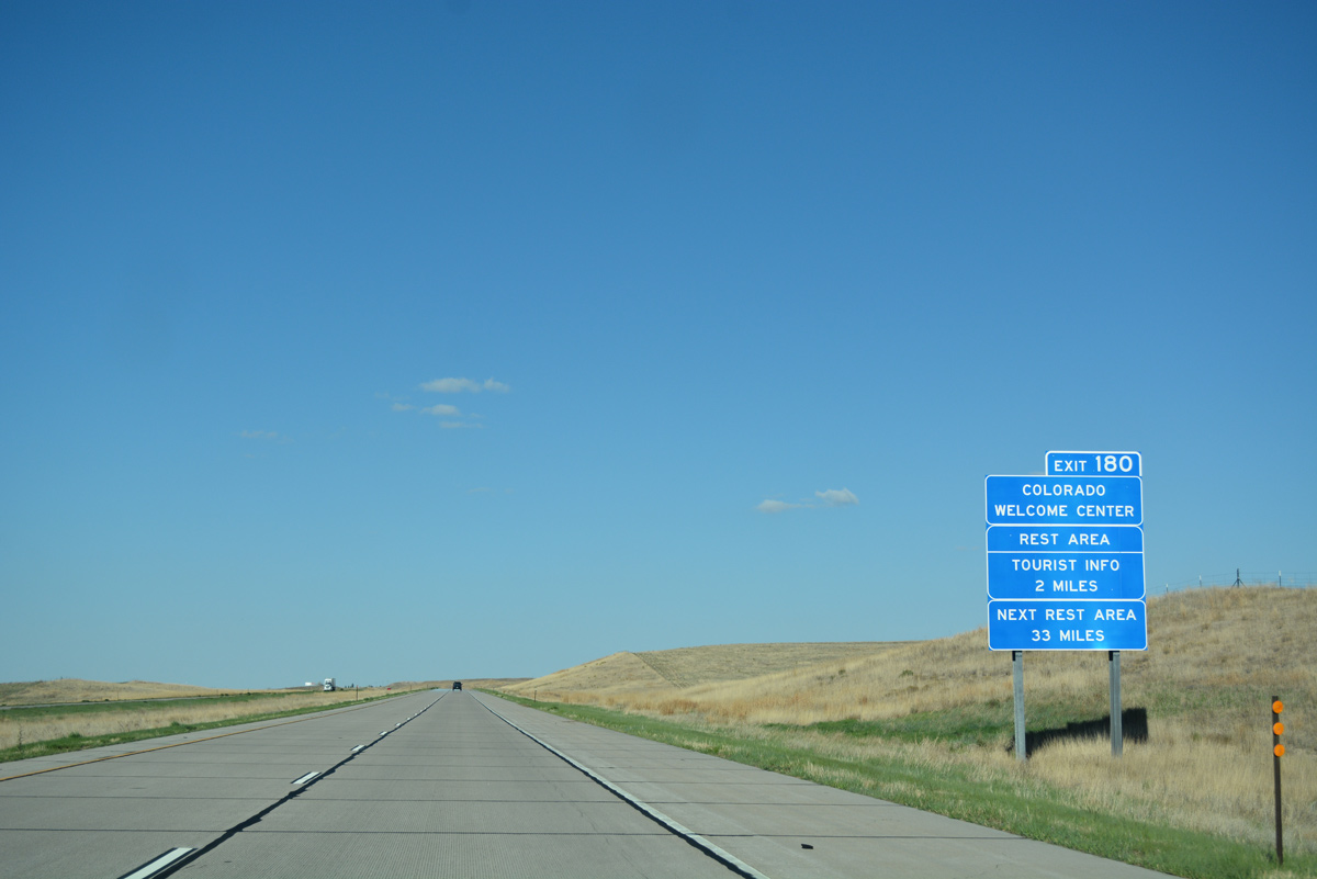
The Colorado Welcome Center is located just north of upcoming Exit 180 in the south town limits of Julesburg.
04/22/17
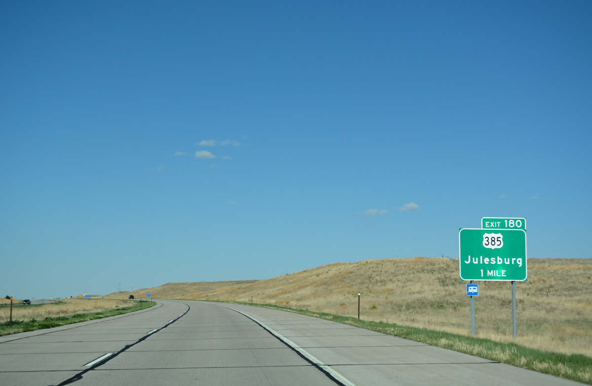
U.S. 385 travels the height of Colorado from the Oklahoma panhandle north to Springfield, Lamar, Cheyenne Wells, Burlington, Wray, Holyoke and Julesburg. The US highway meets Interstate 76 at a diamond interchange (Exit 180).
04/22/17

Advancing east to Exit 180 for U.S. 385 in south Julesburg and the last I-76 rest area.
04/22/17
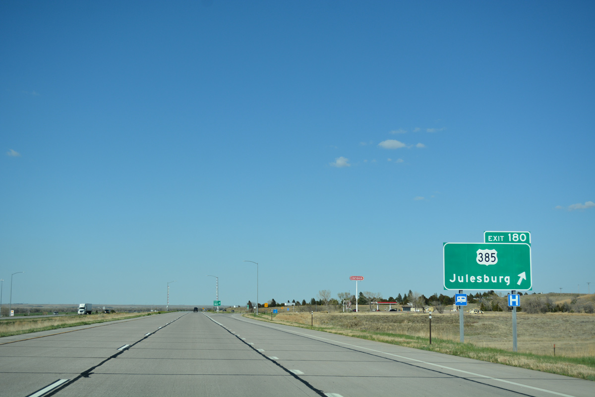
U.S. 385 spans the South Platte River and curves northeast to join U.S. 138 at a diamond interchange east of the Julesburg business district. The two routes overlap west 3.8 miles, with U.S. 385 resuming a northward heading to Chappell, Nebraska.
04/22/17
Leaving Julesburg, the last confirming marker for Interstate 76 east in Colorado appears.
04/22/17
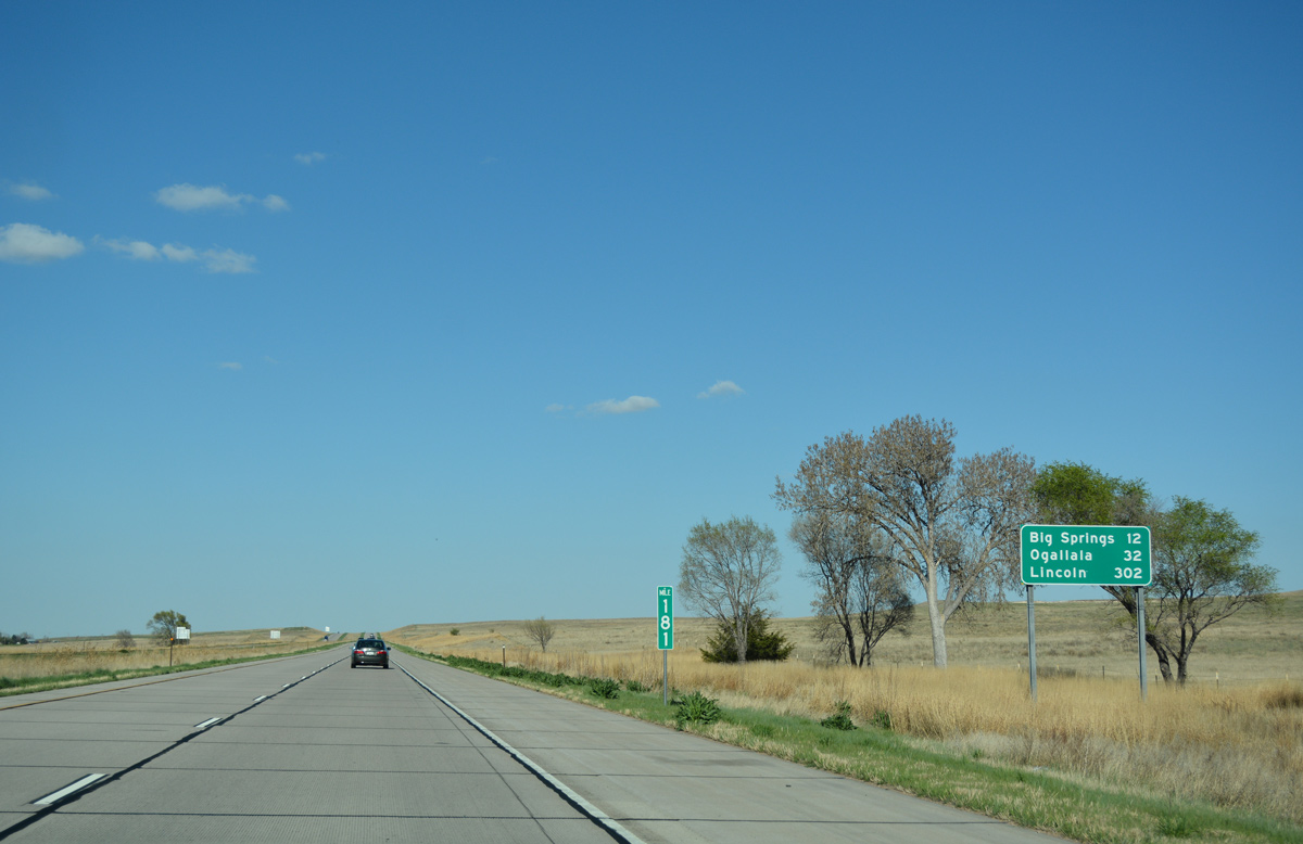
Big Springs, Nebraska is located five miles beyond the east end of Interstate 76. Ogallala, where U.S. 26 concludes, follows in 32 miles, while the capital city of Nebraska debuts on distance signs at 302 miles out.
04/22/17
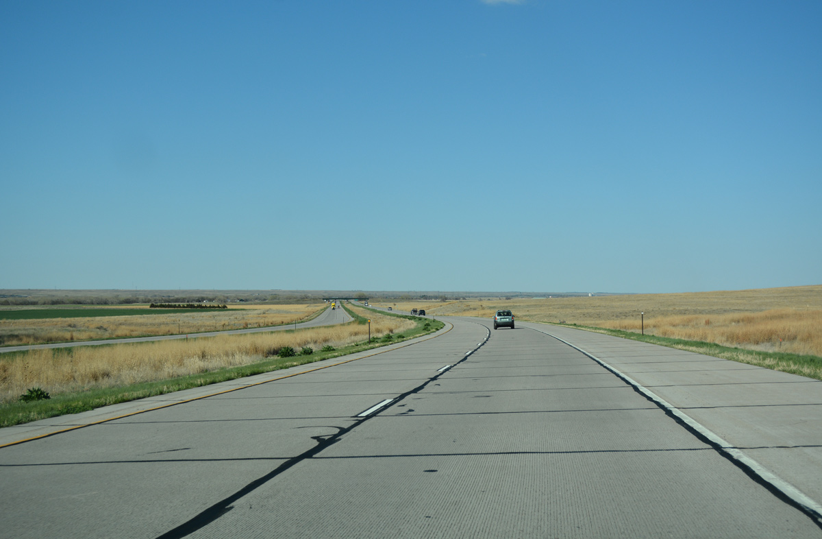
Interstate 76 makes a final northward shift on the approach to Deuel County, Nebraska.
04/22/17
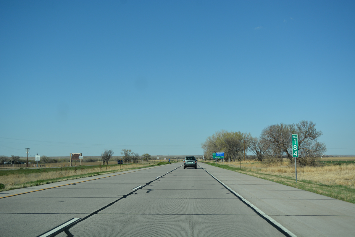
Milepost 184 precedes the Nebraska state line by 0.135 miles. There are no exits between here and Interstate 80 on I-76.
04/22/17

Photo Credits:
- ABRoads: 04/22/17
- Andy Field: 09/01/04
Connect with:
Page Updated Thursday May 11, 2017.