
Interstate 76
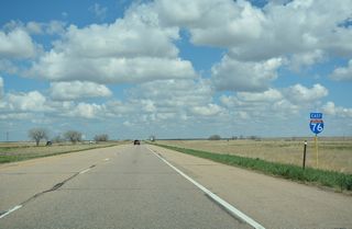
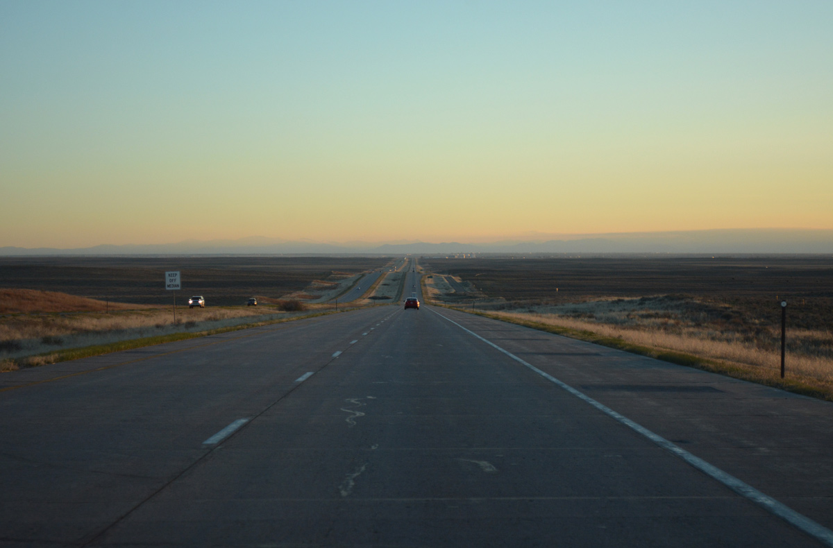
Interstate 76 curves northeast around the periphery of Bijou Flats to the west of Fort Morgan. Business Loop I-76/U.S. 34 split with the freeway east into Fort Morgan along this stretch. 2015 traffic counts along this stretch topped out at 16,000 vehicles per day (vpd). - 04/22/2017
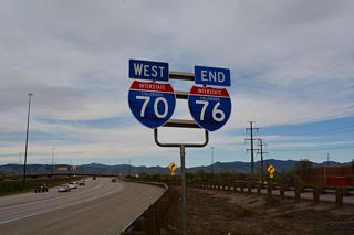
Traveling 184.135 miles in Colorado, the western Interstate 76 angles northeast from Denver to Fort Morgan and Julesburg. A short extension into Nebraska joins the freeway with transcontinental Interstate 80 east to Lincoln and Omaha, Nebraska.
Passing through the eastern plains of the state, Interstate 76 serves the communities of Fort Morgan, Sterling and Julesburg along the banks of the South Platte River. Although it is very wide river, the South Platte is not very deep. As a result, it is not commercially navigable, which is typical of many western rivers. However, the Interstate 76 corridor through the South Platte River valley has grown nonetheless.
Interstate 76 Colorado Guides
East
Denver to Commerce City - 46 photos
Brighton to Wiggins - 55 photos
Fort Morgan to Brush - 52 photos
Sterling to Julesburg - 58 photos
West
Julesburg to Sterling - 58 photos
Brush to Fort Morgan - 31 photos
Wiggins to Brighton - 47 photos
Commerce City to Denver - 39 photos
Business Routes

Business Spur I-76 - Keenesburg - 9 photos
Construction on what was originally designated as Interstate 80S began in August of 1958. The route was renumbered to Interstate 76 on January 1, 1976. The change resulted in the replacement of 488 signs according to the Colorado Department of Transportation (CDOT). For more information on the history of Interstate 76, visit CDOT 50th Anniversary of the Interstate Highway System.
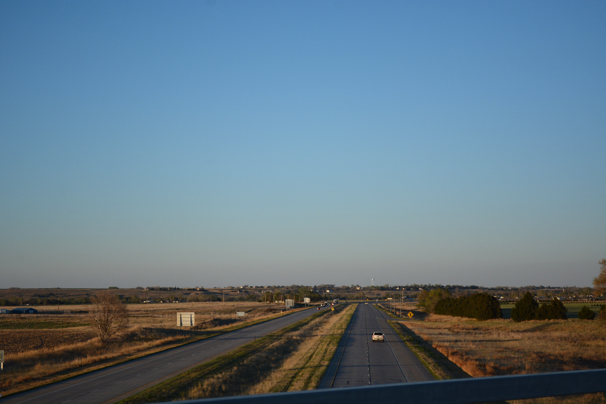
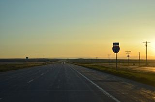
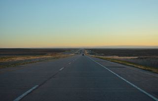
The distant community of Roggen and the Front Range appear in this vista along Interstate 76 west in Weld County - 04/22/2017
The following chart shows the dates on which each section of Interstate 76 was opened, from the western terminus in Denver to the Nebraska State Line.
| Section | Date | Length |
|---|---|---|
| From Interstate 70 and SH 121 (Wadsworth Boulevard) east to SH 95 (Sheridan Boulevard) | December 3, 1985 | 1.6 miles |
| From SH 95 (Sheridan Boulevard) to U.S. 287 (Federal Boulevard) | November 5, 1987 | 1.4 miles |
| From U.S. 287 (Federal Boulevard) to Pecos Street | November 1, 1989 | 1 mile |
| From Pecos Street east to Interstate 25/U.S. 87 | September 15, 1993 | 1 mile |
| From Interstate 25/U.S. 87 east to U.S. 85 (Greeley Highway) | October 11, 1968 | 4 miles |
| From U.S. 85 (Greeley Highway) to Barr Lake | 1966 | 7 miles |
| From Barr Lake to Hudson | 1966 | 12 miles |
| From Hudson to Wiggins | 1966 | 35 miles |
| Conversion of U.S. 6 on segment near Wiggins into Interstate standards | 1977 | 8 miles |
| From Wiggins to Fort Morgan | 1966 | 9 miles |
| From Fort Morgan to Sterling | 1966 | 50 miles |
| From Sterling northeast to Crook | 1966 | 24 miles |
| From Crook east to Sedgwick | 1970 | 15 miles |
| From Sedgwick east to Julesburg | October 24, 1970 | 15 miles |
| From Julesburg east to Nebraska State Line | December 1969 | 4 miles |
Connect with:
Page Updated Tuesday January 12, 2021.