Interstate 77 travels through two tunnel systems between the northern exchange with I-81 at Wytheville and the West Virginia state line.
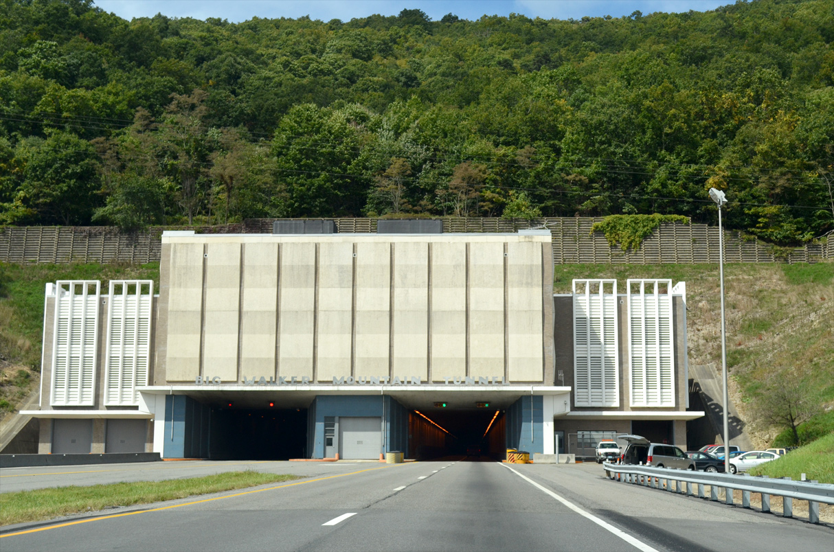
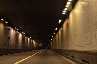
Midway between Wytheville and Bland, I-77 passes through Big Walker Mountain via twin tunnel tubes measuring 0.80 miles in length. The tunnel opened to traffic June 29, 1972, along with an 11.4 mile section of I-77 south to Wytheville. Building of the tunnel cost approximately $25 million.1
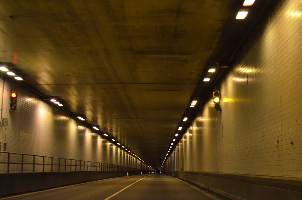
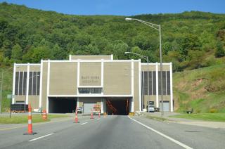
Crossing into West Virginia, I-77 travels 1,077 feet below East River Mountain through two 1.025 mile long tubes. Construction of the East River Mountain Tunnel commenced August 4, 1969, with a formal dedication held December 20, 1974 on the West Virginia side.2 U.S. 52 follows I-77 through the East River Mountain Tunnel located between Exit 66 on the Virginia side and Exit 1 in West Virginia.

North
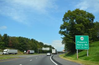
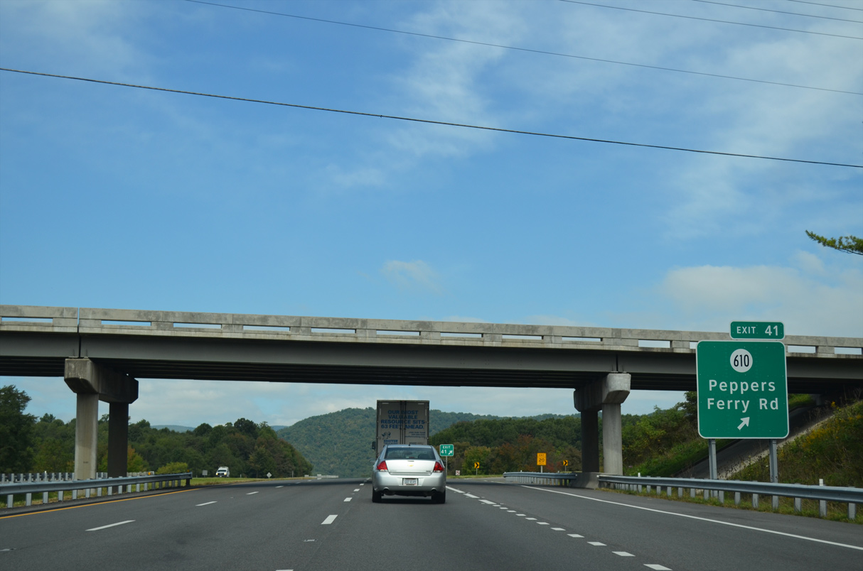
Interstate 77 advances north from the split with I-81 / U.S. 52 (Exit 72) to SR 610 (Peppers Ferry Road).
09/23/14
SR 610 (Peppers Ferry Road) heads east from the folded diamond interchange at Exit 41 to Max Meadows and southwest into Wytheville.
09/23/14
09/23/14

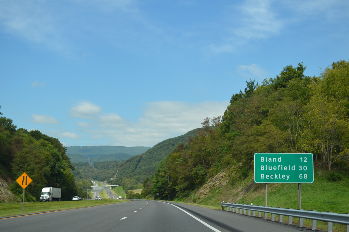
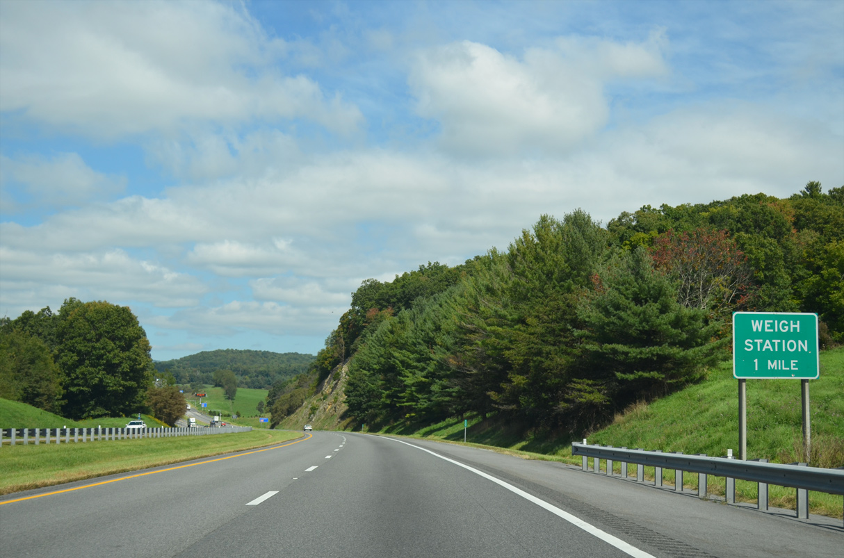
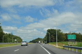
Bland is unincorporated but represents the seat of Bland County 12 miles ahead.
09/23/14
09/23/14

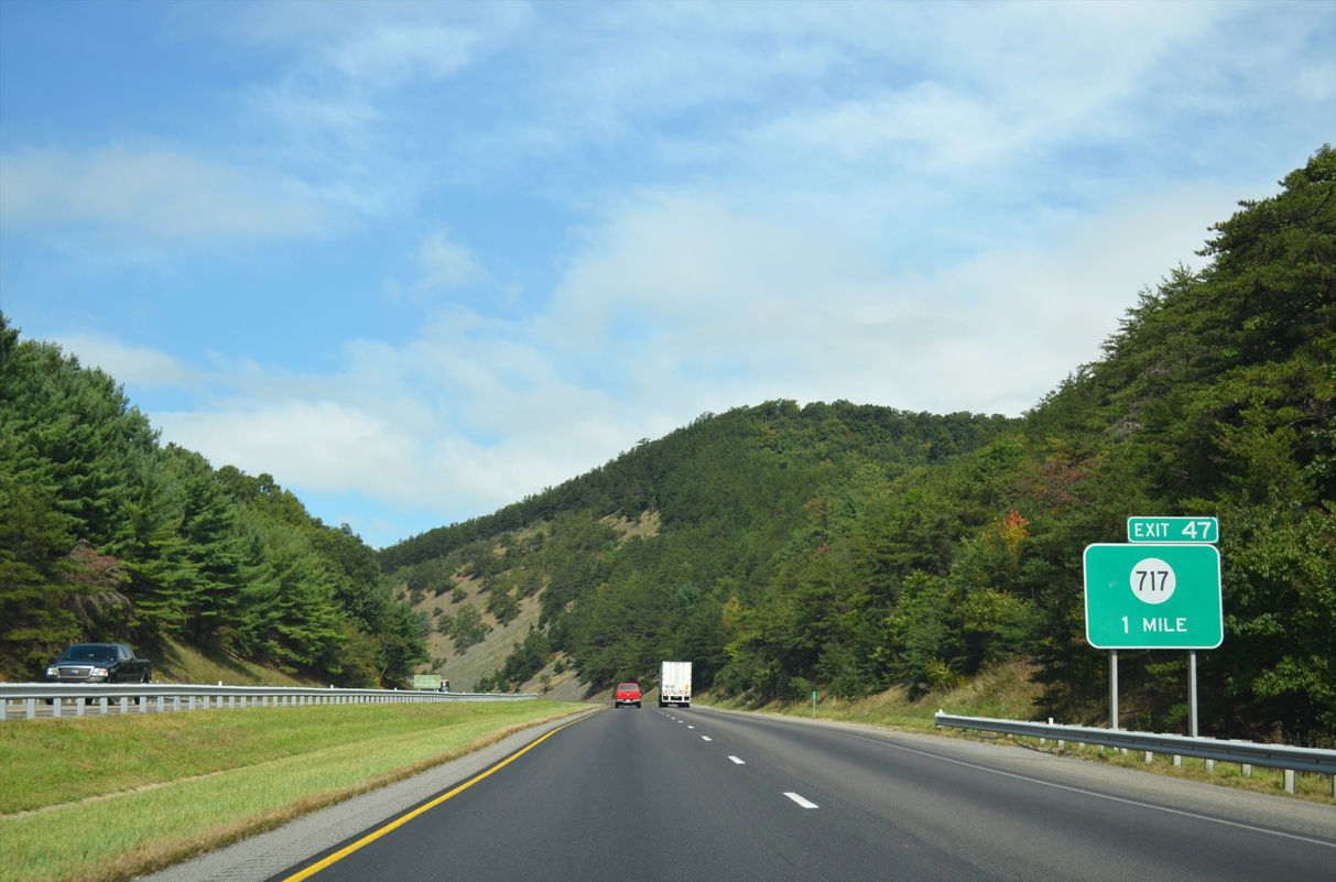
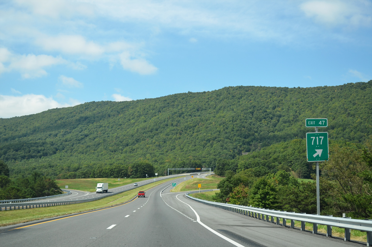
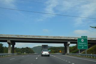
SR 717 (Krenning Road) angles 4.4 miles southwest from a folded diamond interchange (Exit 47) with I-77 to U.S. 52.
09/23/14
09/23/14

09/23/14

East of I-77, SR 717 transitions into SR 601, which runs along the Big Walker Mountain ridge northeast toward Alum Springs and SR 100.
09/23/14

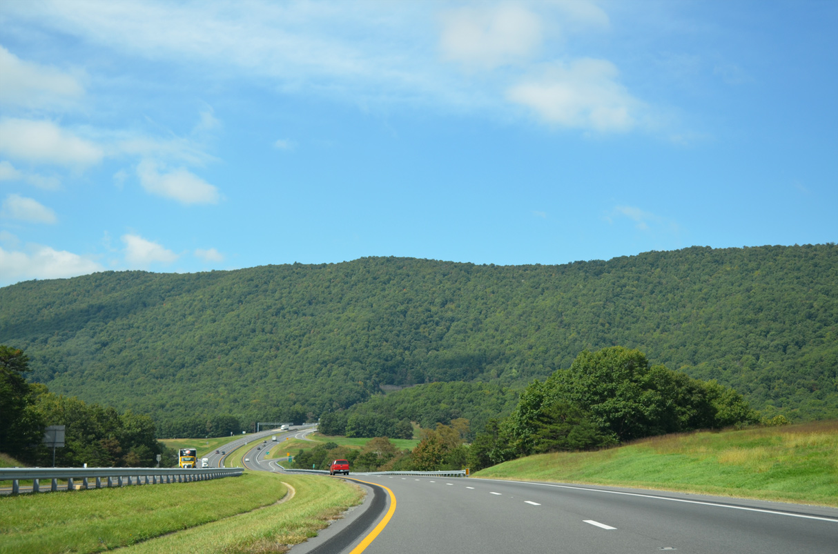
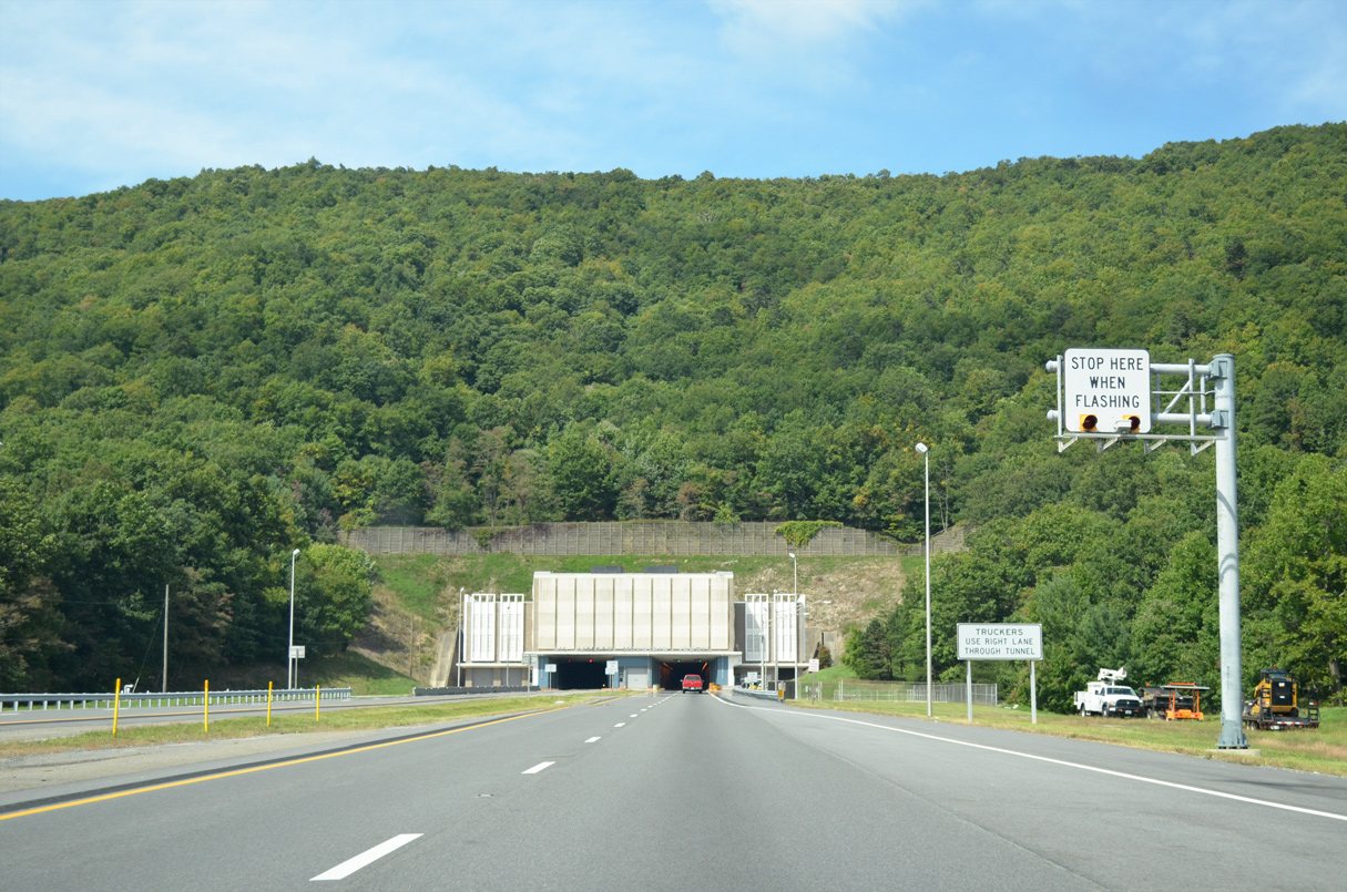
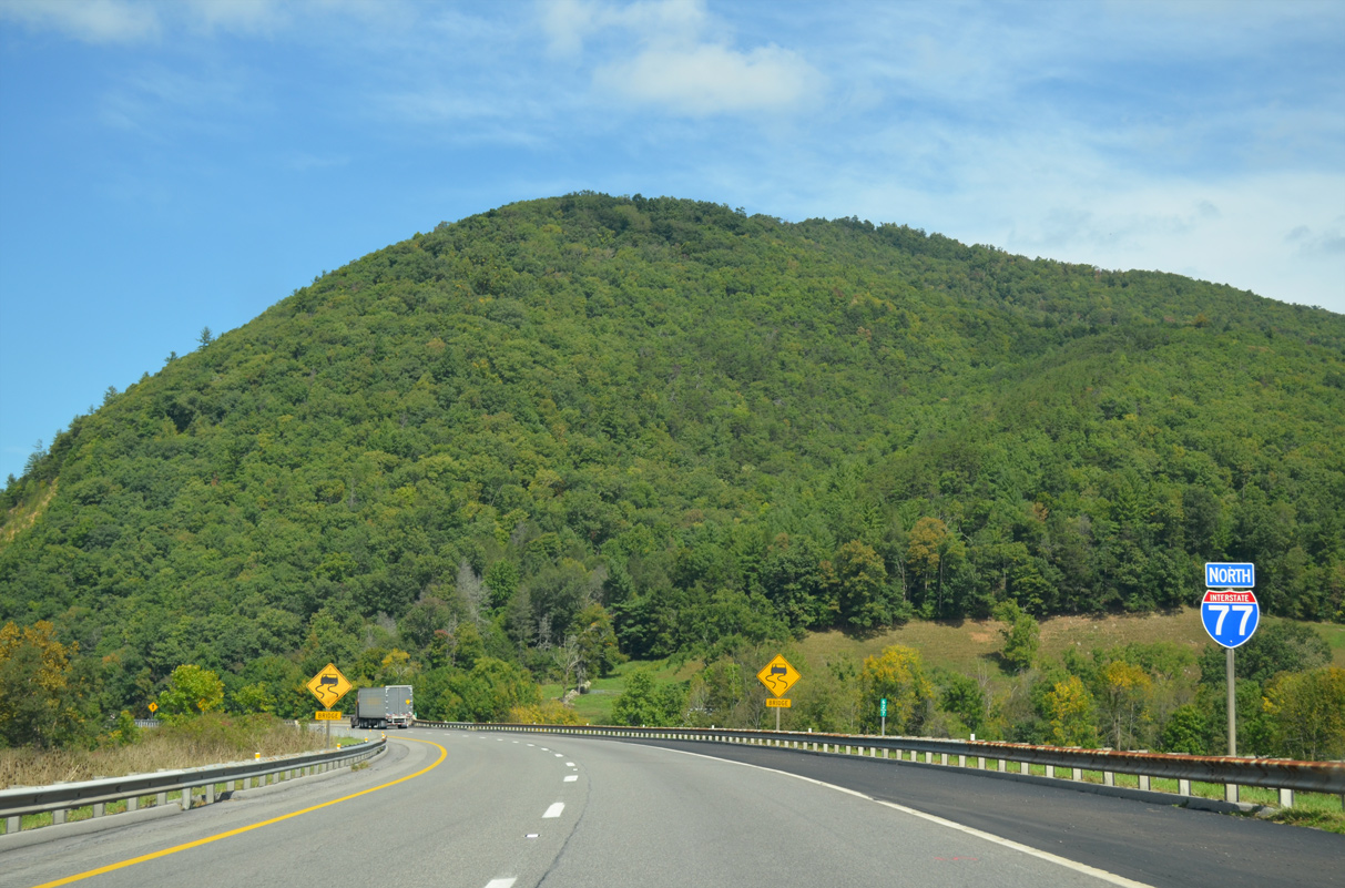
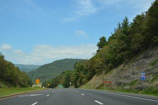
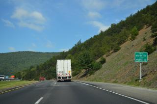
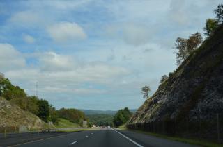
Interstate 77 proceeds northwest from SR 717 / Exit 47 to the entrance of Big Walker Mountain Tunnel in Jefferson National Forest.
09/23/14

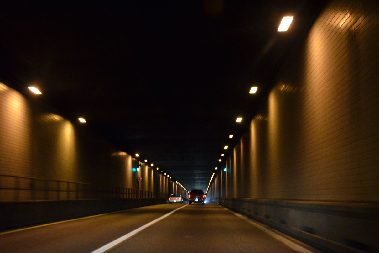
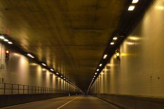
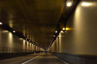
Twin tubes carry I-77 traffic under Big Walker Mountain, which peaks at 3,650 feet in elevation.
09/23/14
Open to traffic in 1972, Big Walker Mountain Tunnel measures over 4,200 feet in length.
09/23/14

09/23/14
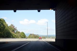
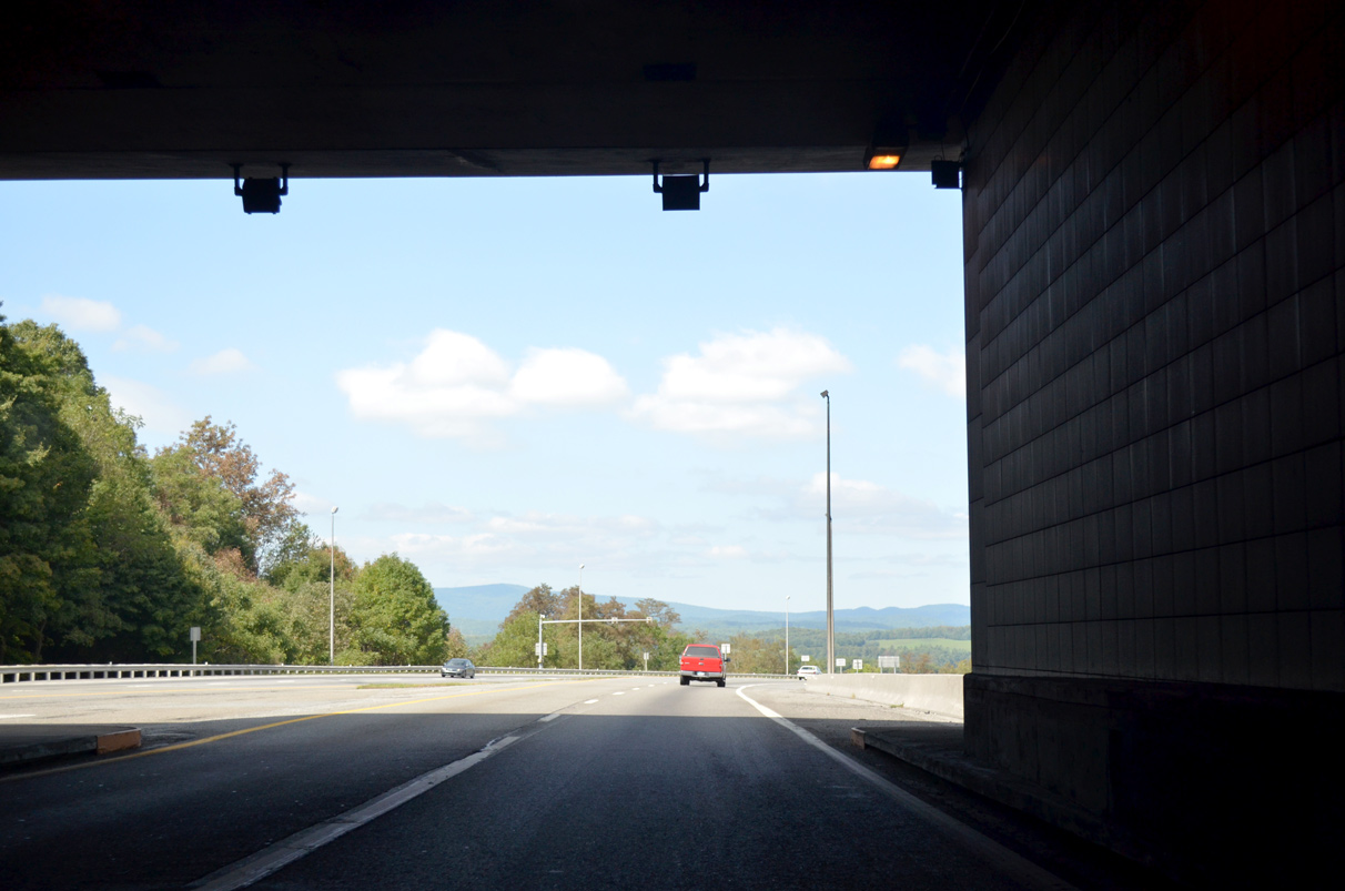
Emerging from Big Walker Mountain Tunnel, I-77 curves northerly toward Bland.
09/23/14
A confirming marker appears beyond the entrance ramp from Exit 47.
09/23/14
09/23/14

09/23/14
09/23/14
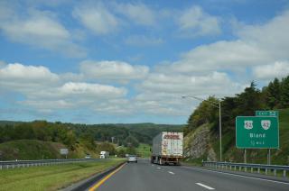
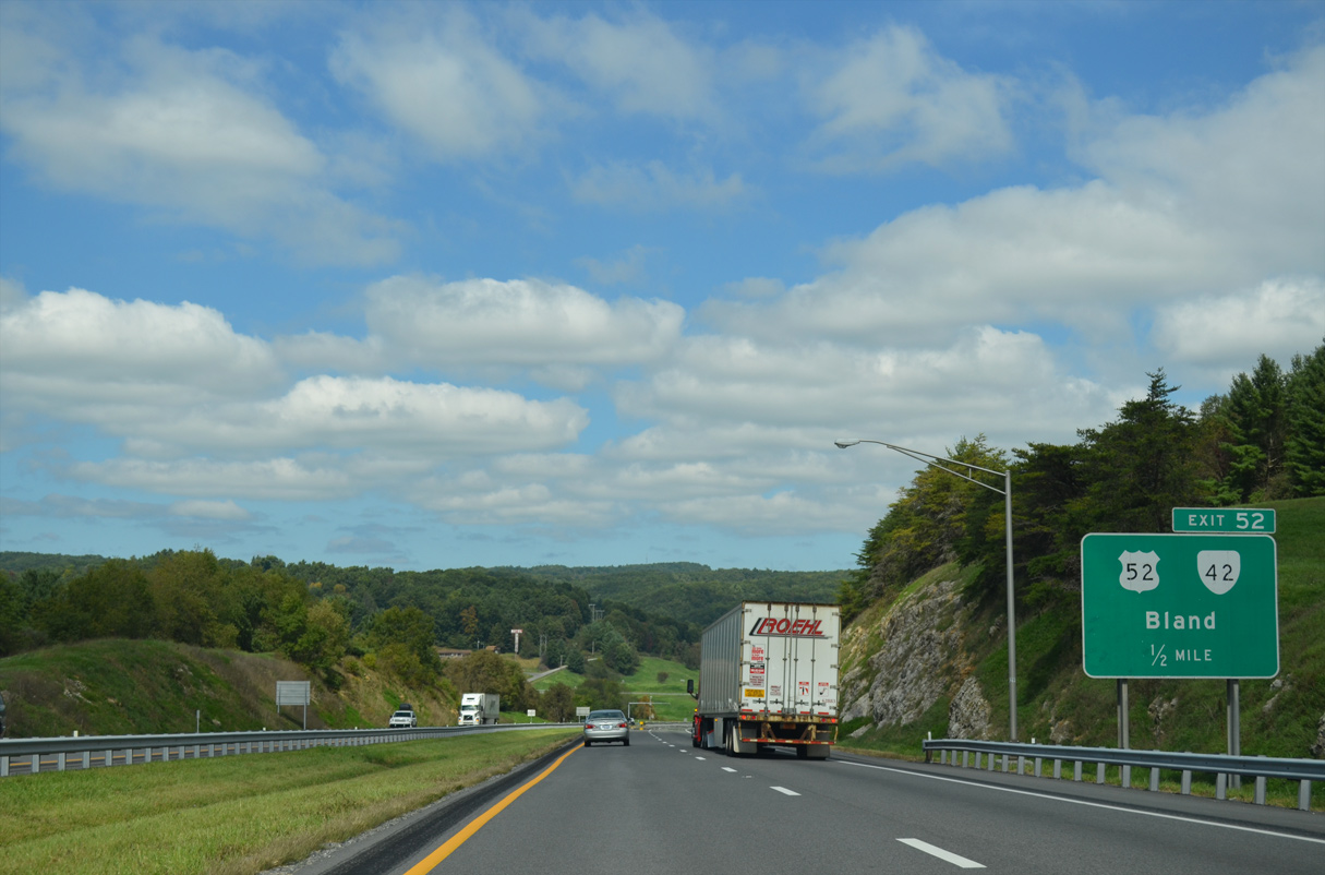
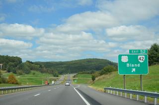
U.S. 52/SR 42 meet Interstate 77 one half mile ahead at a diamond interchange (Exit 52) west of the Bland County seat.
09/23/14
SR 42 travels northeast from Broadford, joining U.S. 52 southwest of I-77. The two routes part ways in Bland, with SR 42 following along E Blue Grass Trail toward Staffordsville.
09/23/14

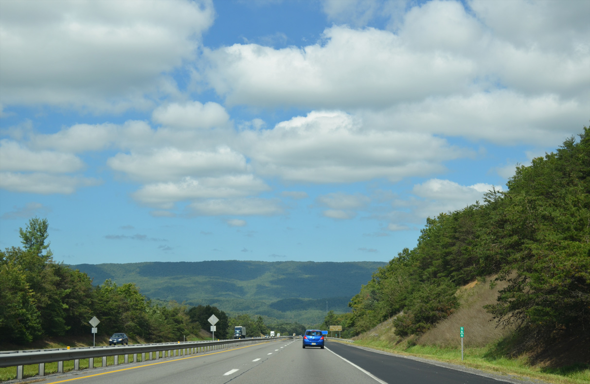
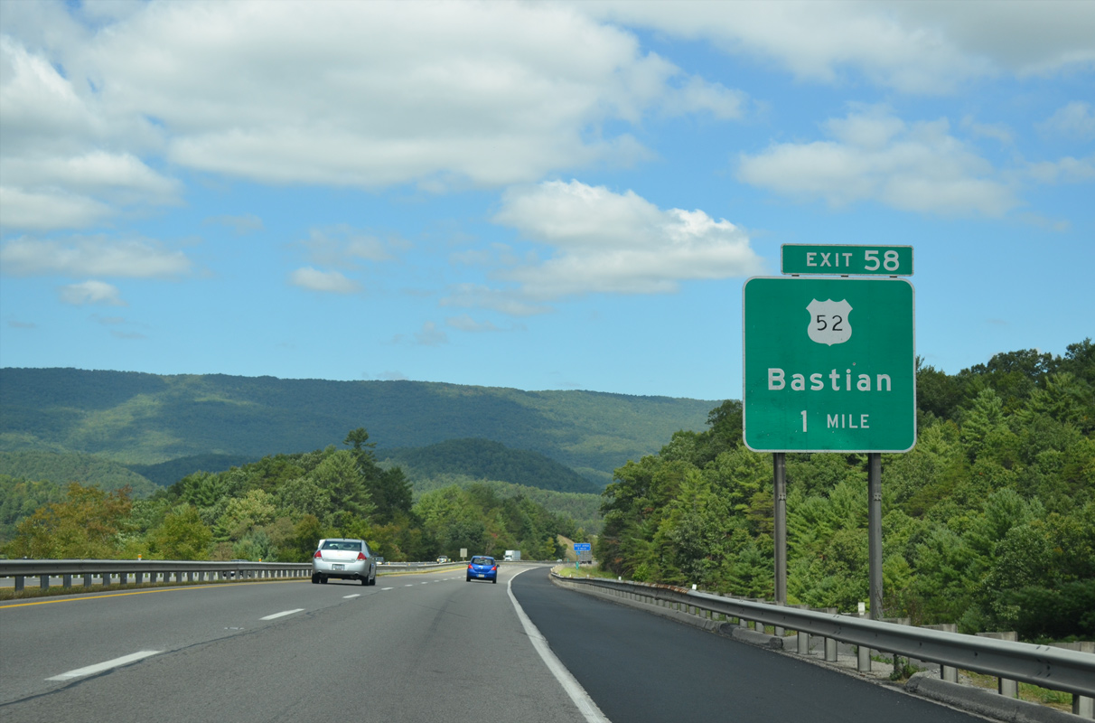
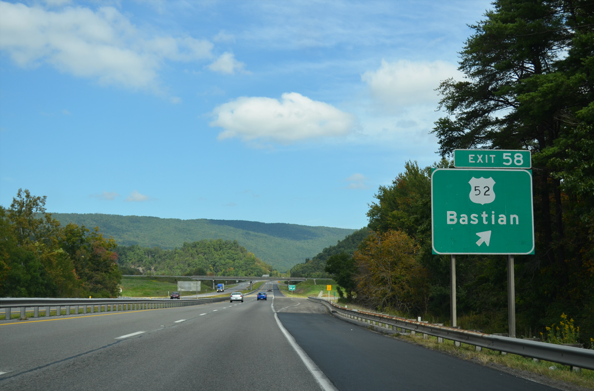
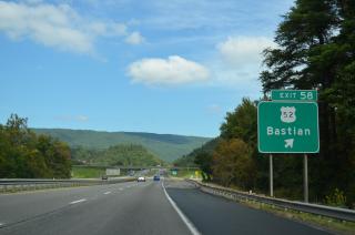
U.S. 52 crosses I-77 one mile north of Exit 52 en route to Bastian.
09/23/14
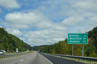
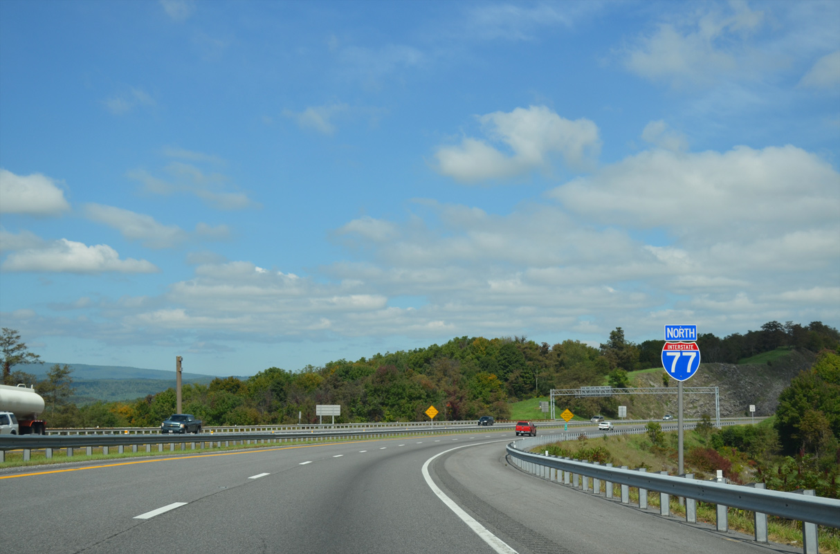
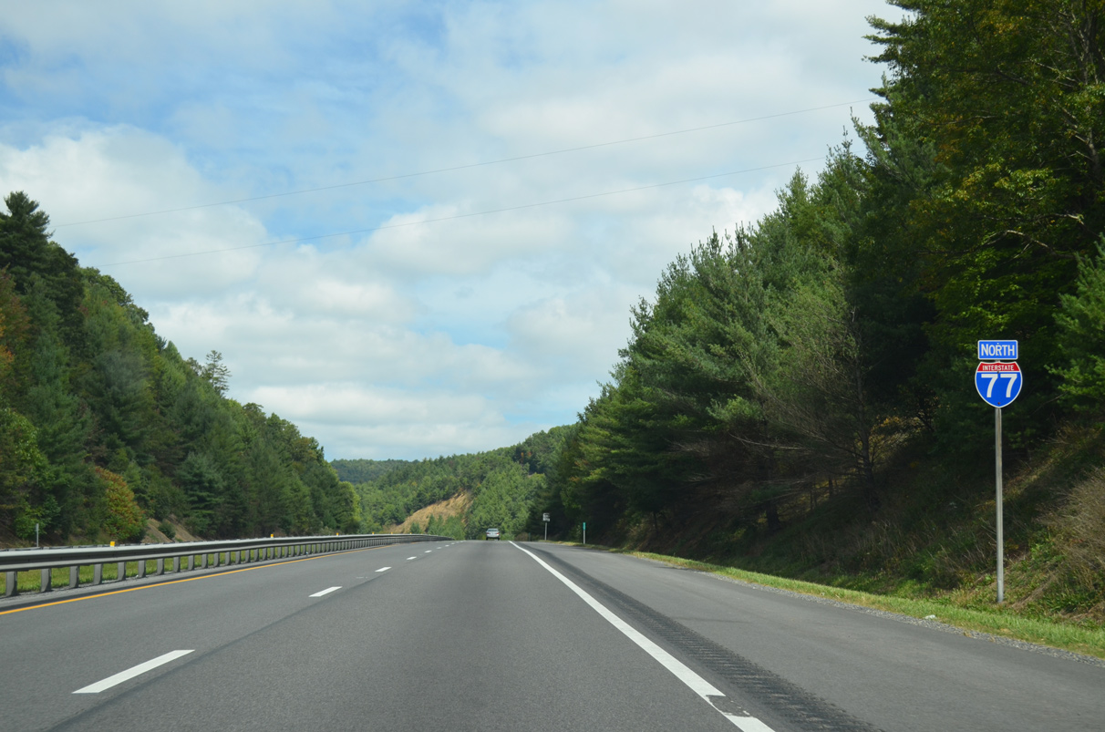
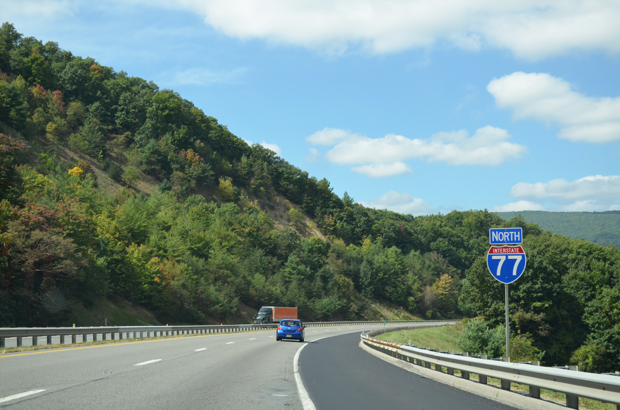
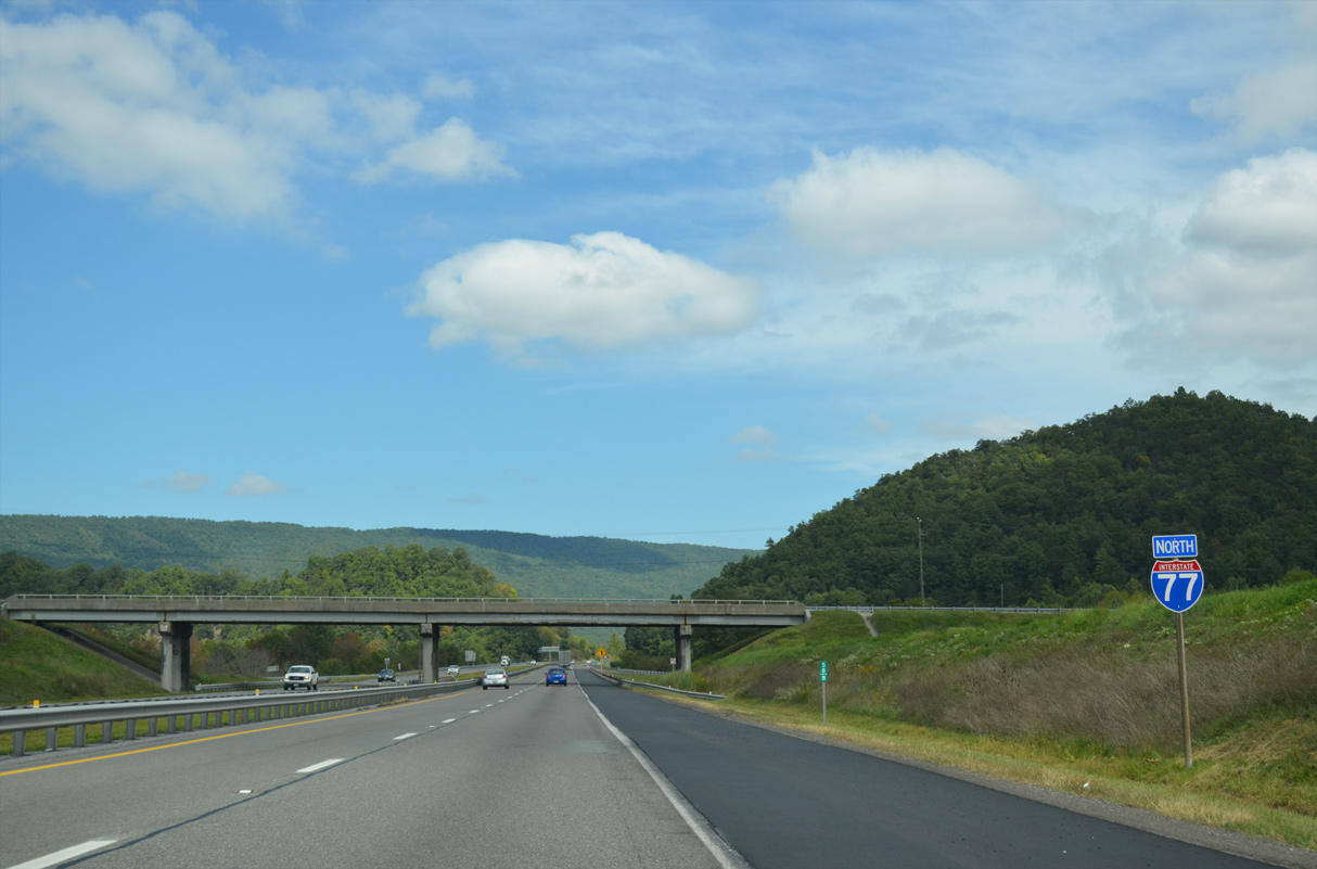
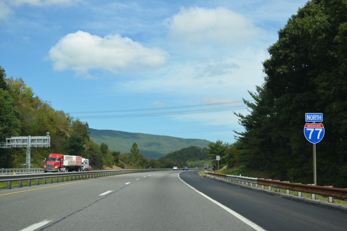
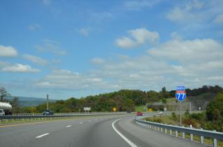
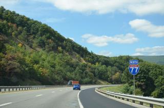
Interstate 77 north continues toward Bluefield and Beckley, West Virginia.
09/23/14
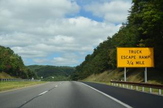
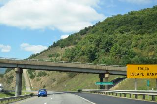
A commercial truck escape ramp follows the SR 612 (Kimberling Road) overpass on I-77 northbound.
09/23/14
The Appalachian Trail overlays SR 612 (Kimberling Road) to cross Interstate 77 midway between Bland and Bastian. The hiking trail meanders 555.1 miles through the state of Virginia.
09/23/14
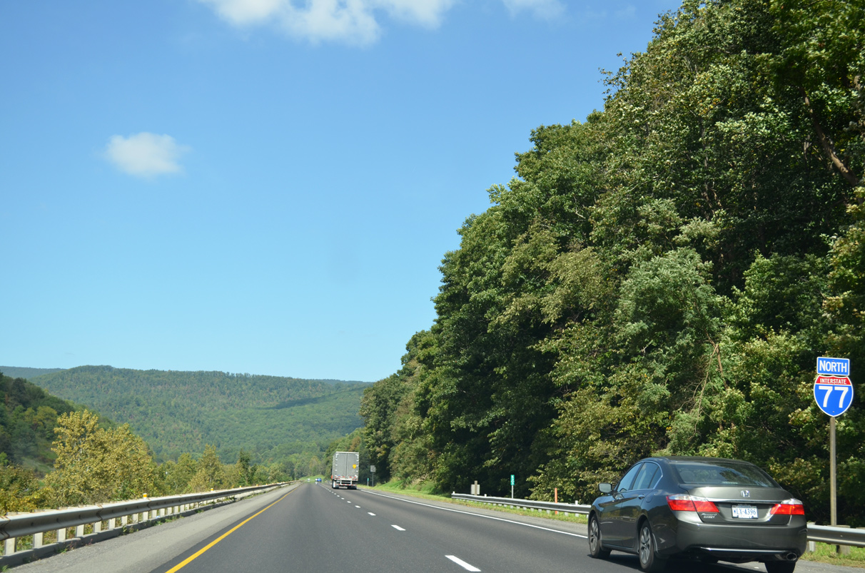
Interstate 77 north crossing Hogback Mountain.
09/23/14

09/23/14

SR 666 (Indian Village Trail) joins Interstate 77 with U.S. 52 along a 0.33 mile route in one mile.
09/23/14
The diamond interchange (Exit 58) with SR 666 (Paul Bartell Road) is 2.3 miles northeast of Bastian.
09/23/14

09/23/14

Interstate 77 continues north toward Rocky Gap.
09/23/14

The last rest area for I-77 in Virginia is within a mile of SR 666 / Exit 58.
09/23/14
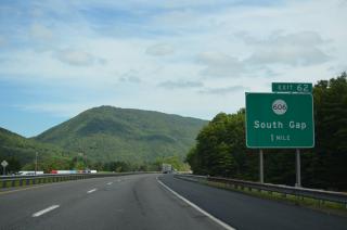
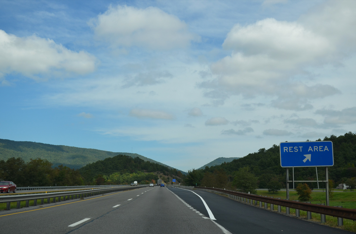
I-77 passes the Rocky Gap rest area for southbound motorists one mile ahead of Exit 62 to SR 606 at South Gap.
09/23/14
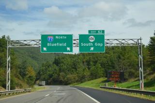
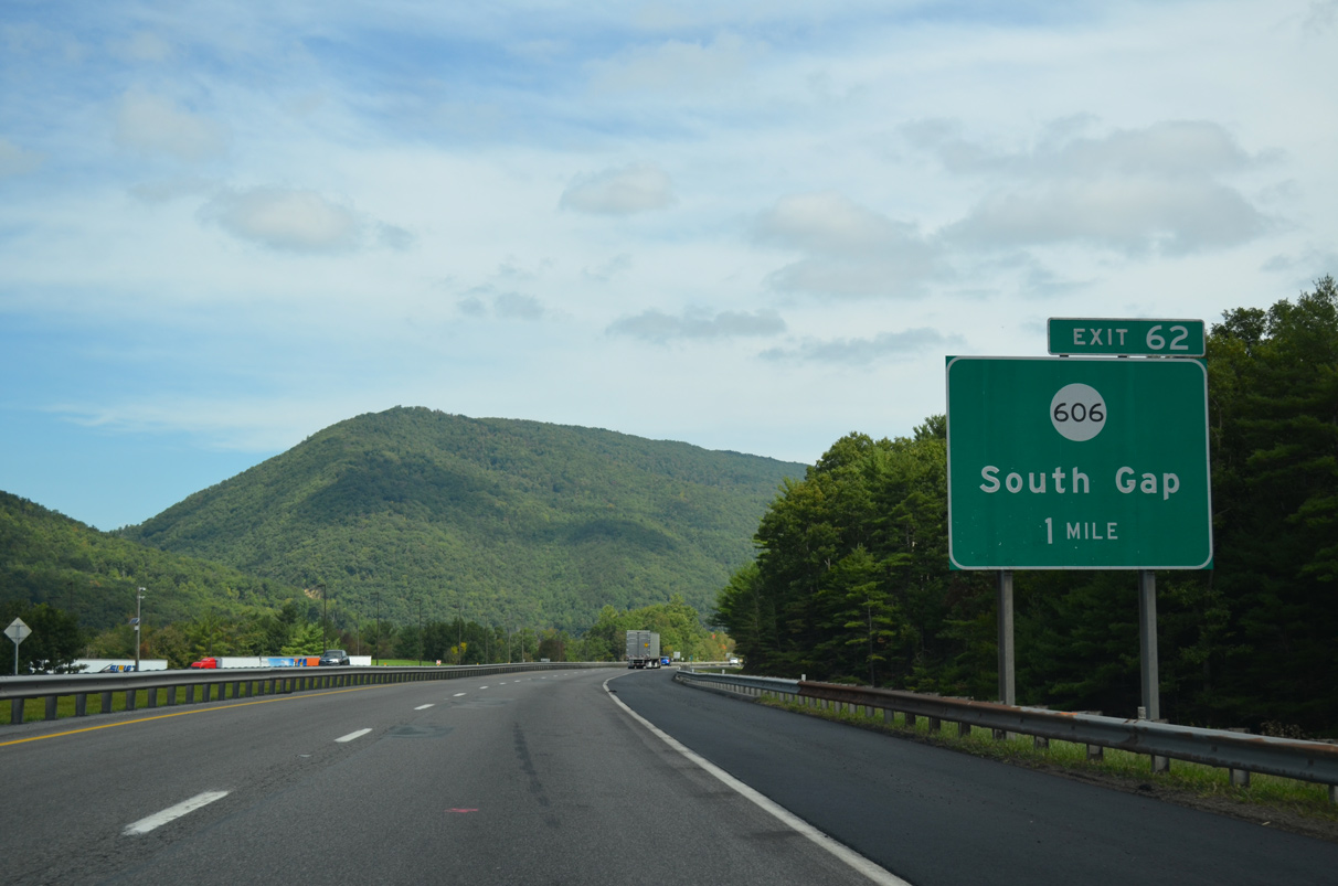
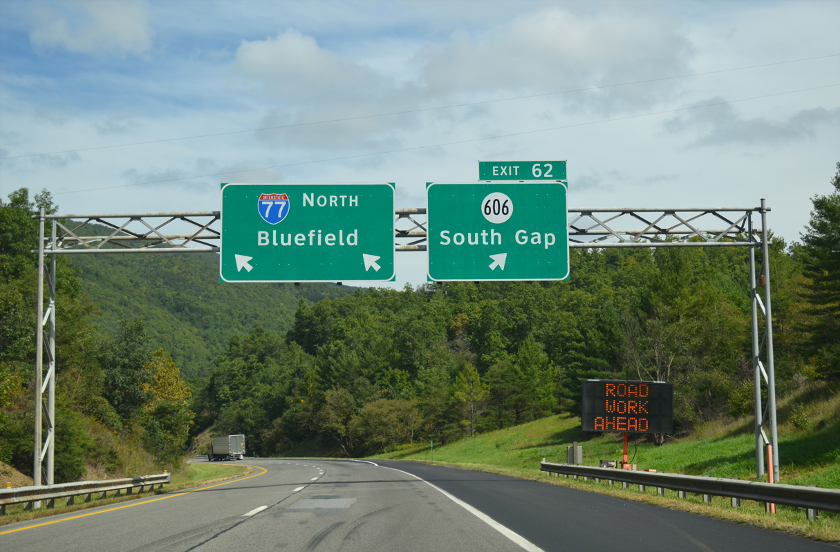
SR 606 ties into I-77 at a diamond interchange (Exit 62) just east of U.S. 52. SR 606 arcs southeast to Pumpkin Center and SR 42 while U.S. 52 runs along the west side of I-77 to Rocky Gap.
09/23/14
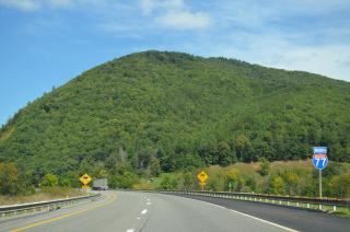
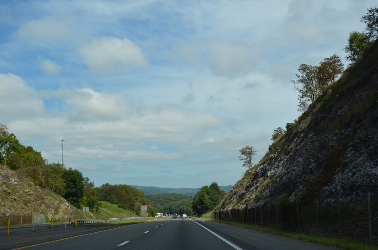
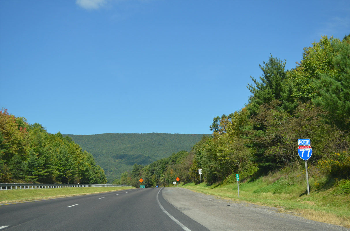
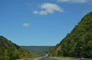
Interstate 77 travels between Rich Mountain and Wolf Creek Mountain on the ensuing stretch to Rocky Gap.
09/23/14
Rocky Gap is located at nearly 2,200 feet in elevation.
09/23/14

Wolf Creek flows between the north and south roadways of I-77 through Rocky Gap.
09/23/14
U.S. 52 switches sides with Interstate 77 at a diamond interchange (Exit 64) near Rocky Gap.
09/23/14

SR 61 originates in North Tazewell along the U.S. 19/460 corridor. SR 61 traverses areas of Jefferson National Forest between Tazewell and Narrows and combines with U.S. 52 at Rocky Gap.
09/23/14

09/23/14

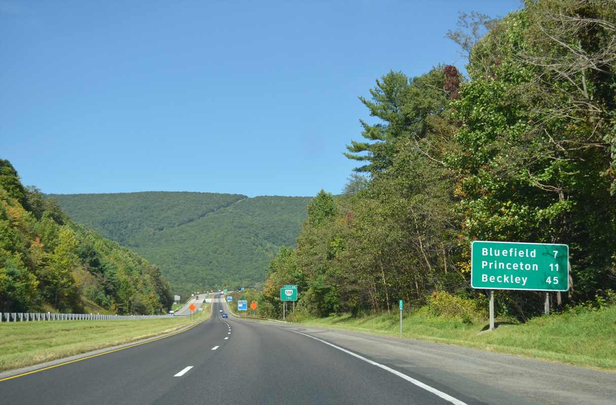
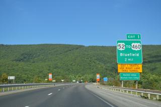
Bluefield, West Virginia is seven miles to the north. Beckley, where I-64 joins I-77 north to Charleston, follows in 45 miles.
09/23/14
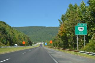
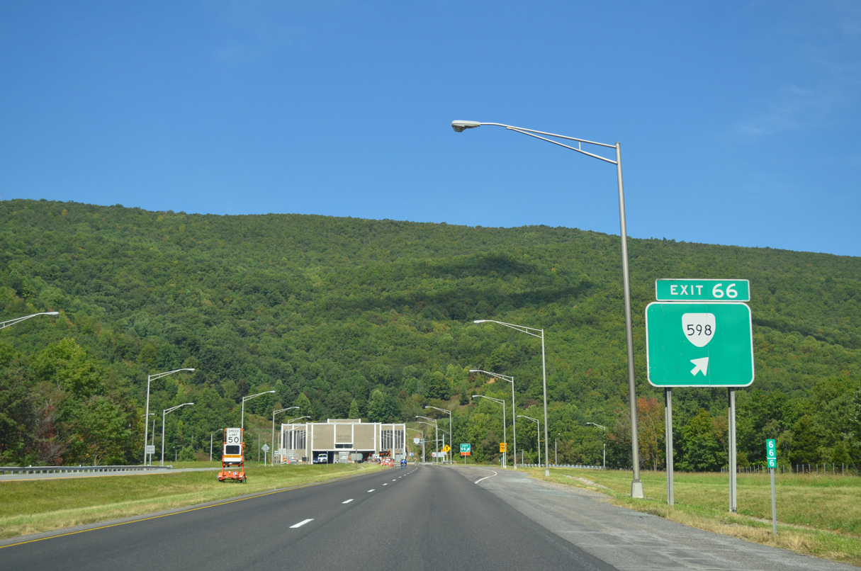
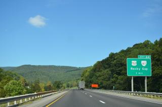
U.S. 52 and SR 598 converge at a folded diamond interchange (Exit 66) ahead of the East River Mountain Tunnel in one mile.
09/23/14
U.S. 52 joins I-77 north from Exit 66 to Exit 1 in West Virginia.
09/23/14

SR 598 travels 6.1 miles west from I-77 to Bluefield, West Virginia. The multi state route represents the former alignment of U.S. 21/52 into the Mountaineer State.
09/23/14

North

U.S. 52 overlaps with I-77 north 1.75 miles through East River Mountain Tunnel.
09/23/14
09/23/14
09/23/14
Interstate 77 / U.S. 52 north enters West Virginia midway through the East River Mountain tunnel.
09/23/14
Page Updated Saturday May 01, 2021.