
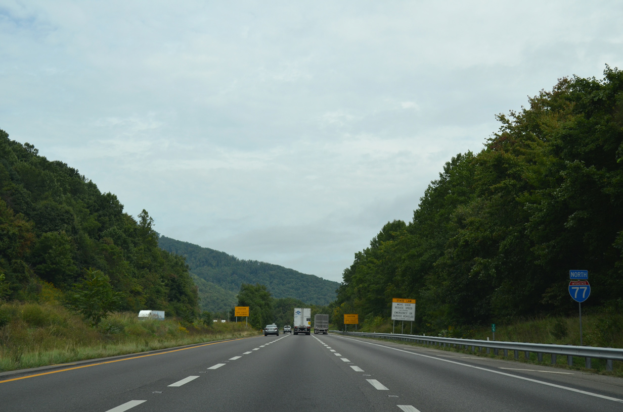
Interstate 77 North - North Carolina to Fort Chiswell
 North
North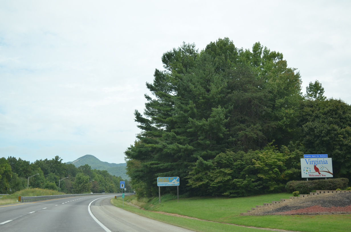
09/23/14
09/23/14
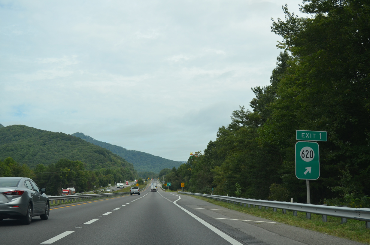
A folded diamond interchange joins I-77 SR 620 (Old Pipers Gap Road) just east of the unincorporated community of Lamsburg. SR 620 constitutes a 7.48 mile long route northwest from the North Carolina line to the Blue Ridge Parkway and SR 97 at Pipers Gap.
09/23/14
09/23/14
09/23/14
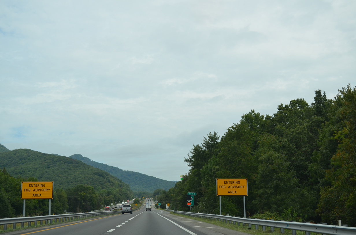
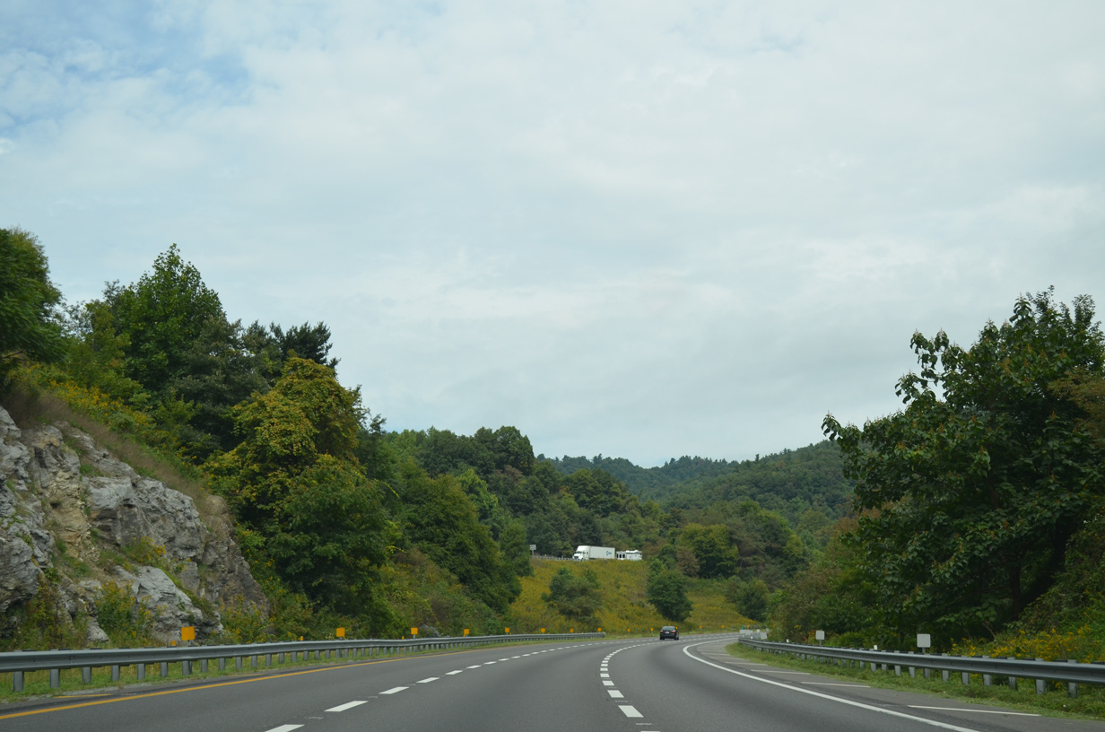
Gaining elevation, I-77 passes between Sugarloaf and Wheeler Knob through an S-curve.
09/23/14
09/23/14
09/23/14
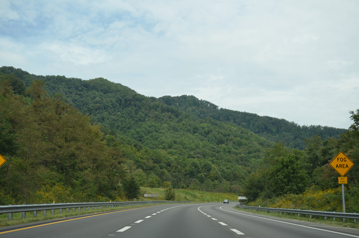
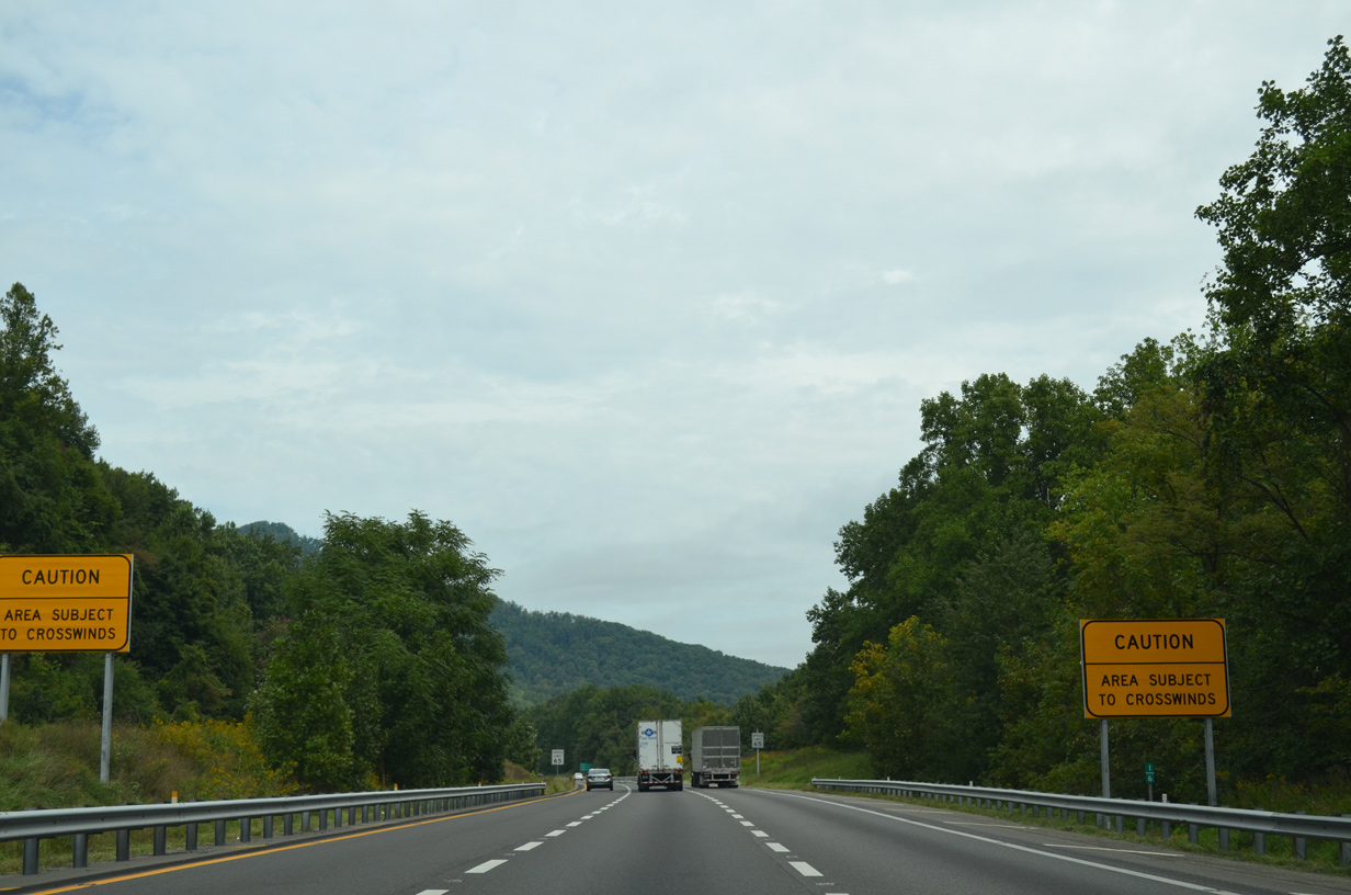
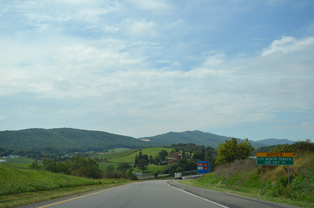
The Blue Ridge Mountains are prone to periods of dense fog.
09/23/14
09/23/14
09/23/14
09/23/14
09/23/14
09/23/14
09/23/14
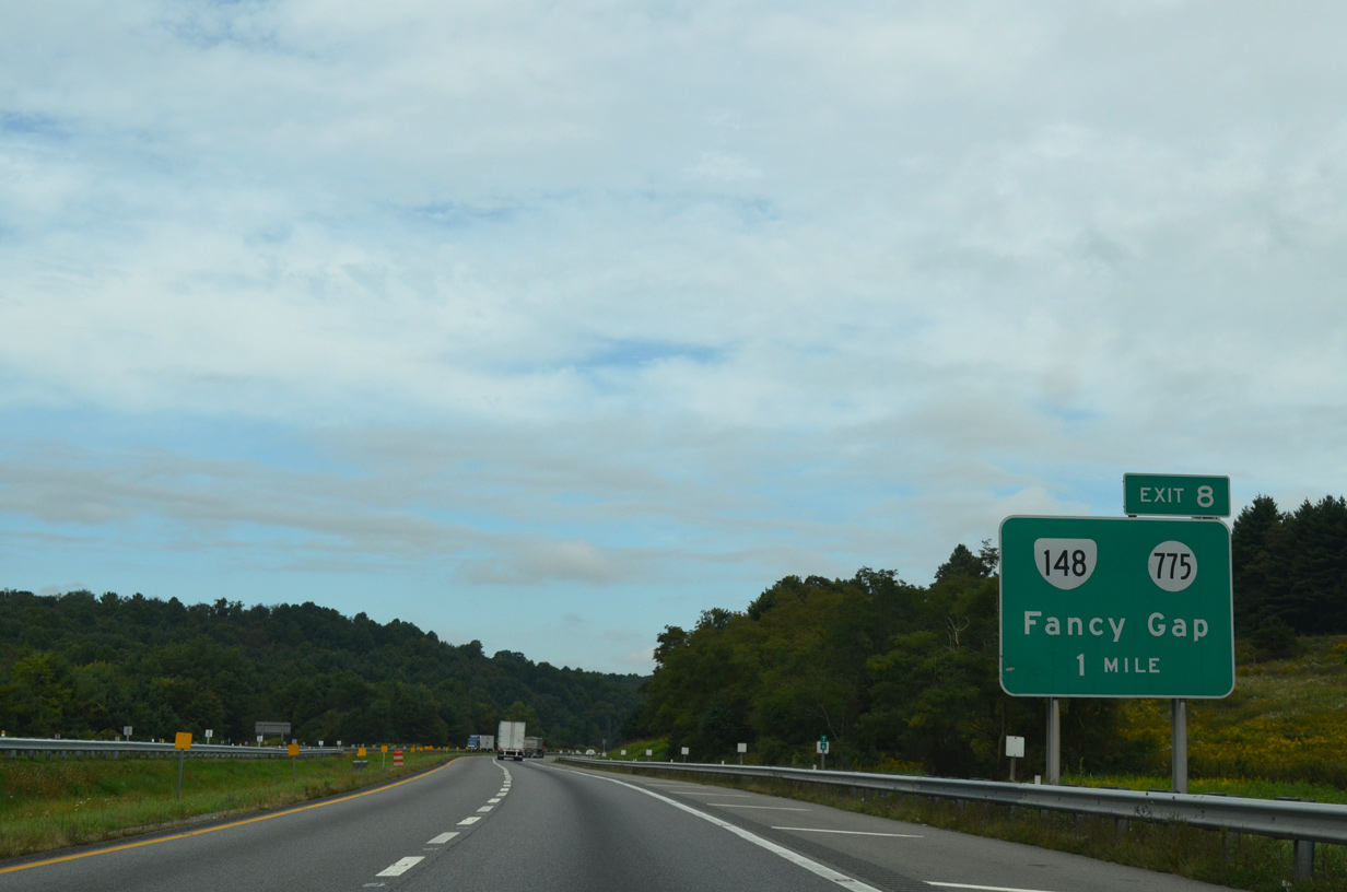
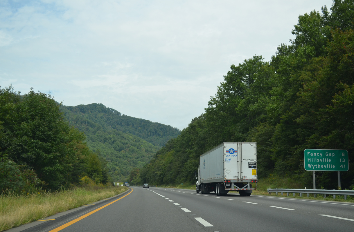
SR 148 comprises a 0.87 mile long connector between I-77 at SR 775 (Chances Creek Road) and parallel U.S. 52 at Fancy Gap.
09/23/14
09/23/14

SR 148 (Chances Creek Road) east to U.S. 52 (Fancy Gap Highway) south leads to the Blue Ridge Parkway at Fancy Gap.
09/23/14
09/23/14
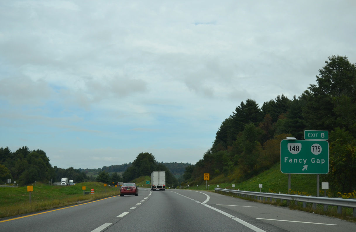
SR 775 (Chances Creek Road) meanders 6.72 miles southwest from the diamond interchange at Exit 8 to SR 97 (Pipers Gap Road) at Drenn.
09/23/14
09/23/14
09/23/14
09/23/14
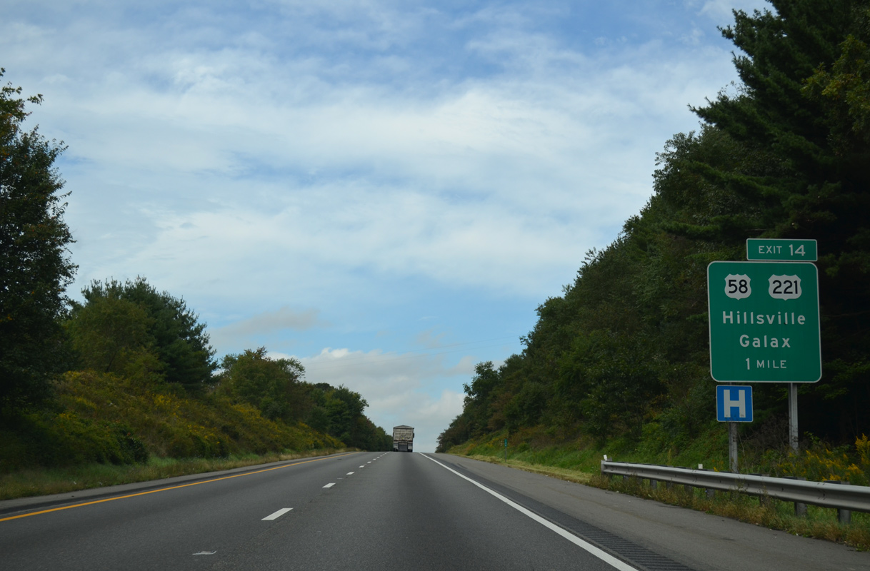
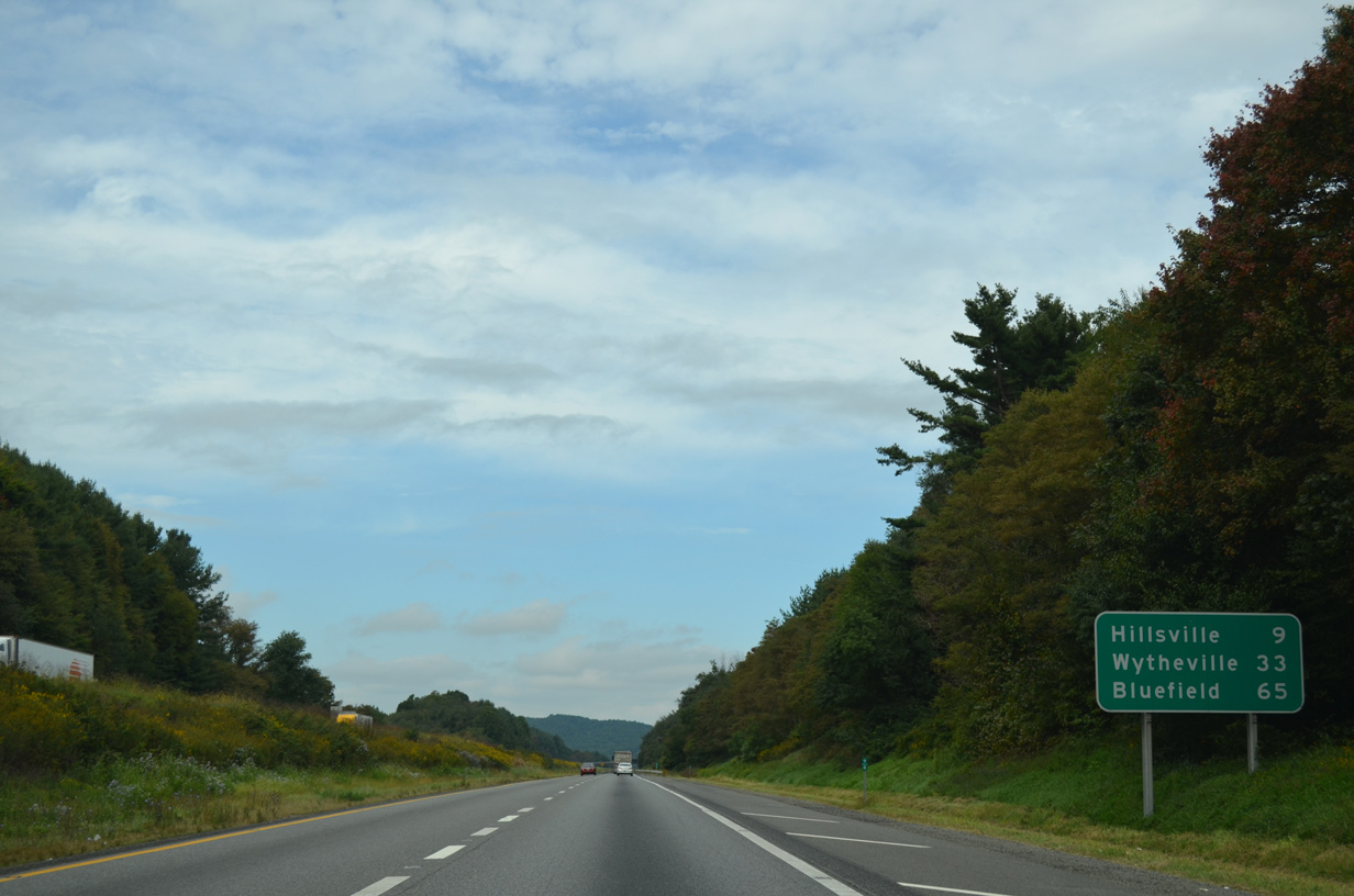
U.S. 58/221 (Carrollton Pike) meet Interstate 77 just west of the Hillsville town line at forthcoming Exit 14.
09/23/14
09/23/14
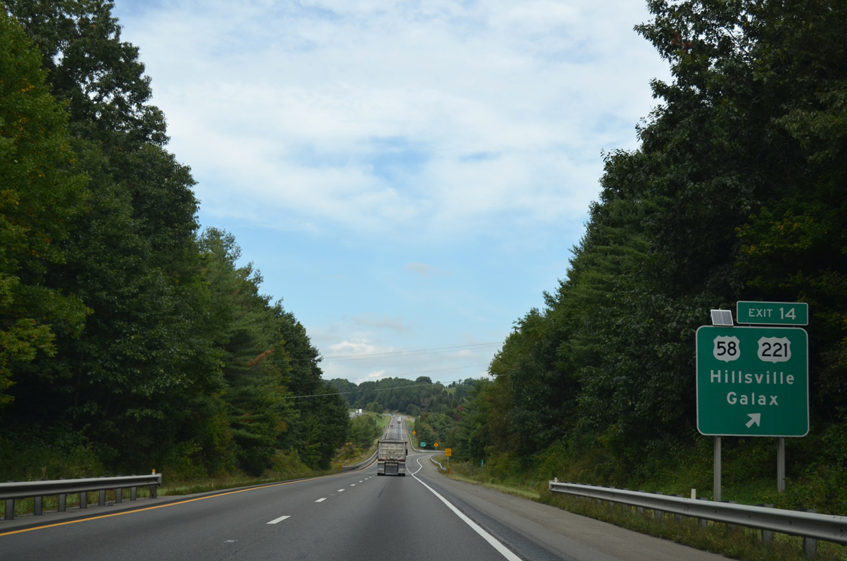
U.S. 58/211 overlap 26.05 miles east from U.S. 21 at Independence to the independent city of Galax and the Hillsville Bypass.
09/23/14
09/23/14

09/23/14
09/23/14
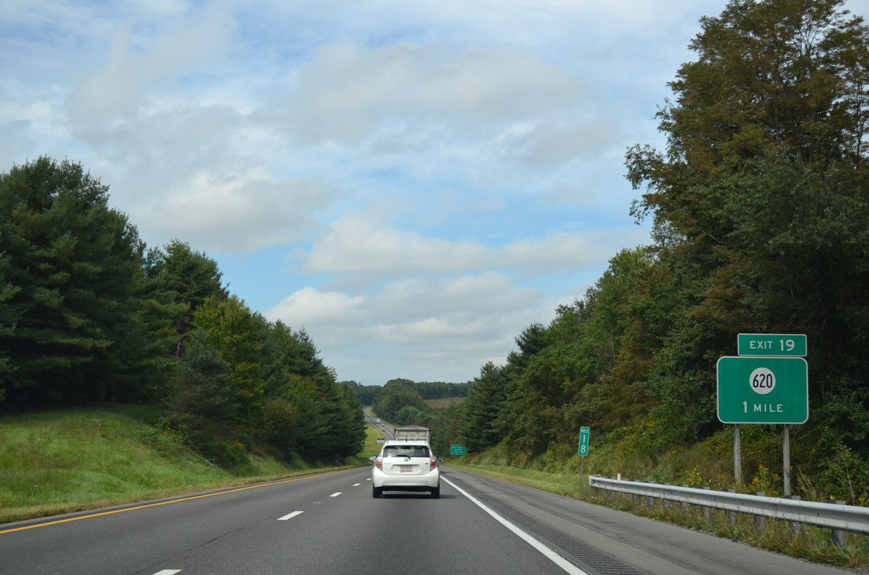
A diamond interchange (Exit 19) joins I-77 with SR 620 (Coulson Church Road), 2.72 miles southwest of U.S. 52 (Poplar Camp Road).
09/23/14
09/23/14
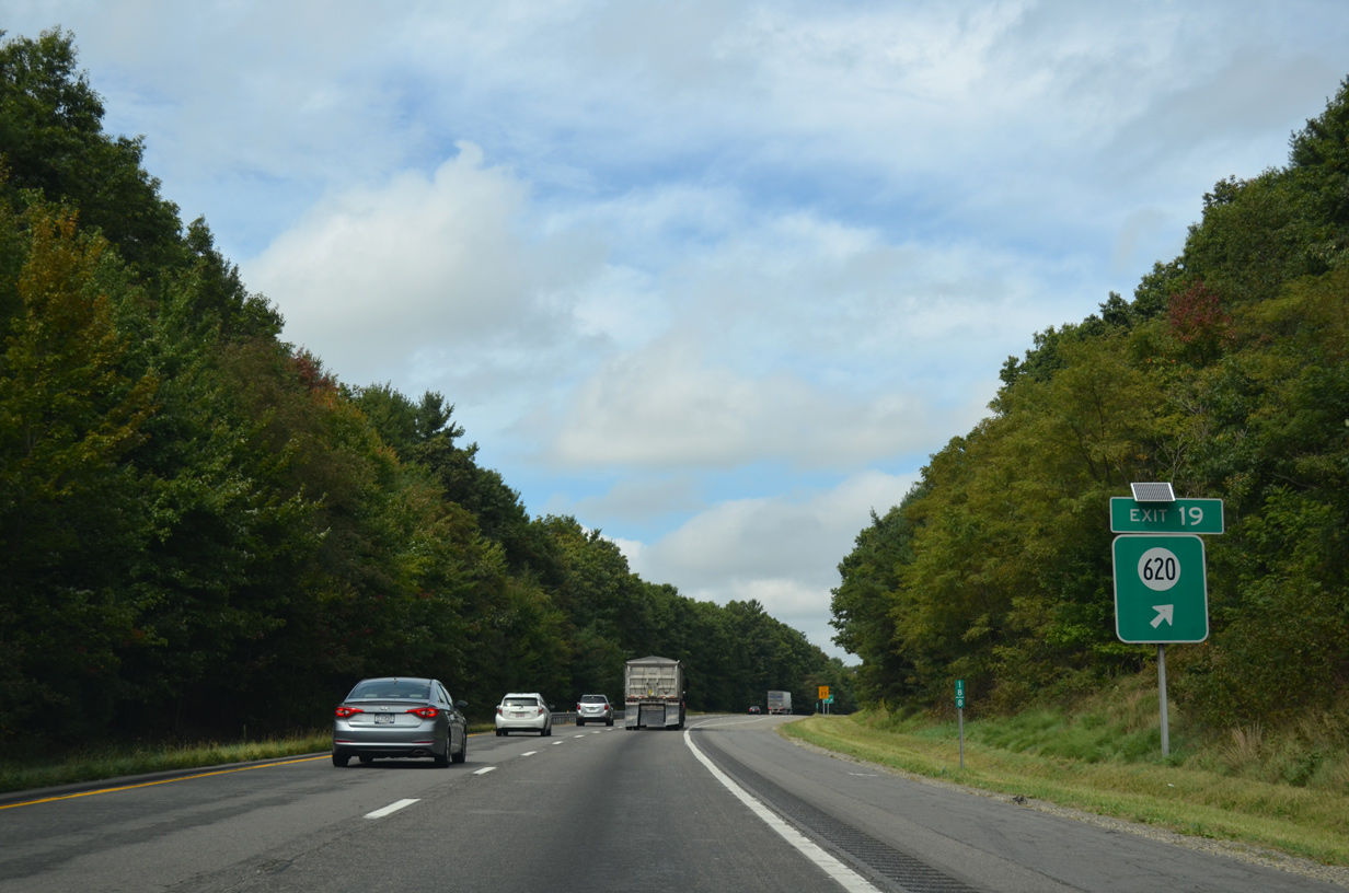
SR 620 (Coulson Church Road) west to SR 743 (Airport Road) nearby leads to Twin County Airport (HLX).
09/23/14
09/23/14
09/23/14
09/23/14
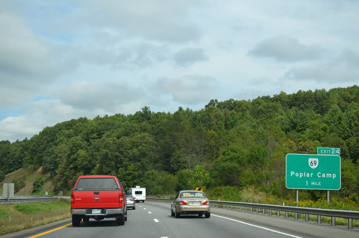
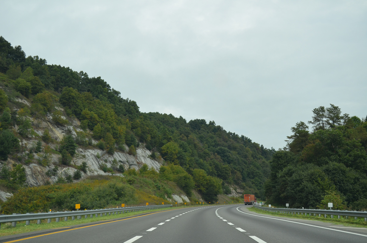
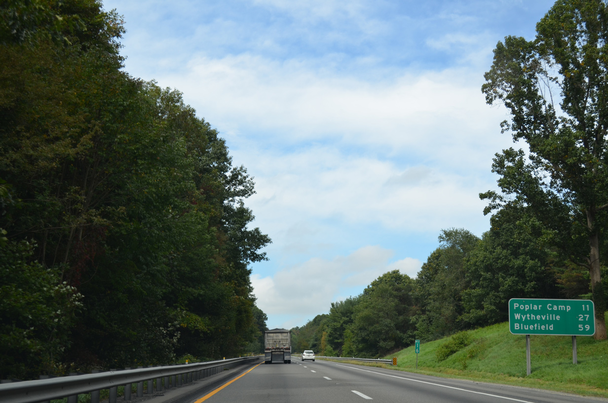
Interstate 77 crosses Poplar Camp Mountain at Exit 24 for SR 69 (Lead Mine Road).
09/23/14
09/23/14
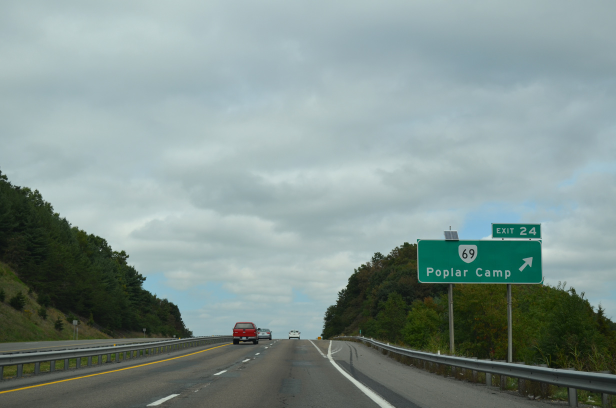
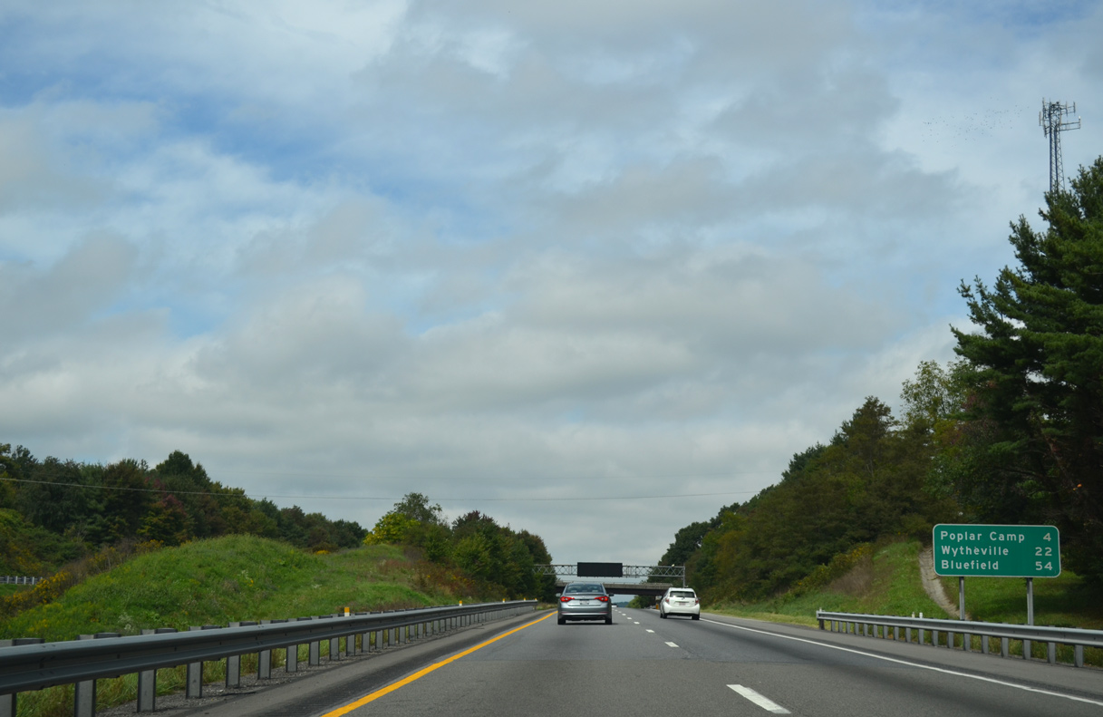
SR 69 (Lead Mine Road) is a 3.59 mile route spurring west from U.S. 52 (Fort Chiswell Road) at Poplar Camp to SR 636 (Store Hill Road) at Austinville.
09/23/14
09/23/14
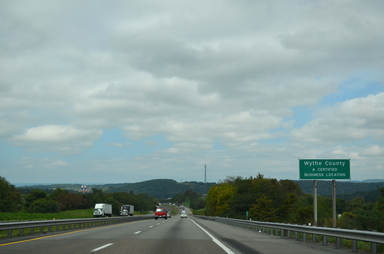
I-77 enters Wythe County within the exchange at Poplar Camp.
09/23/14
09/23/14
09/23/14

09/23/14

Interstate 77 spans the New River and U.S. 52 (Fort Chiswell Road) by Jackson Ferry.
09/23/14
09/23/14
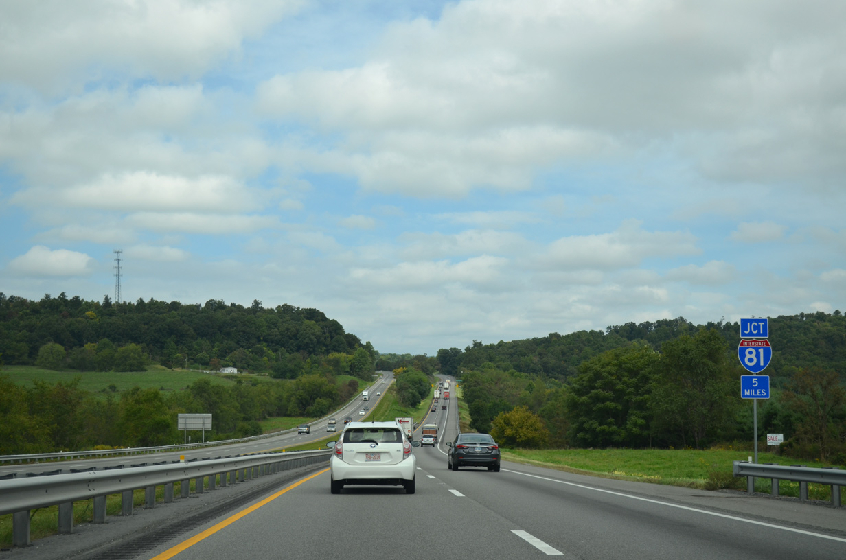
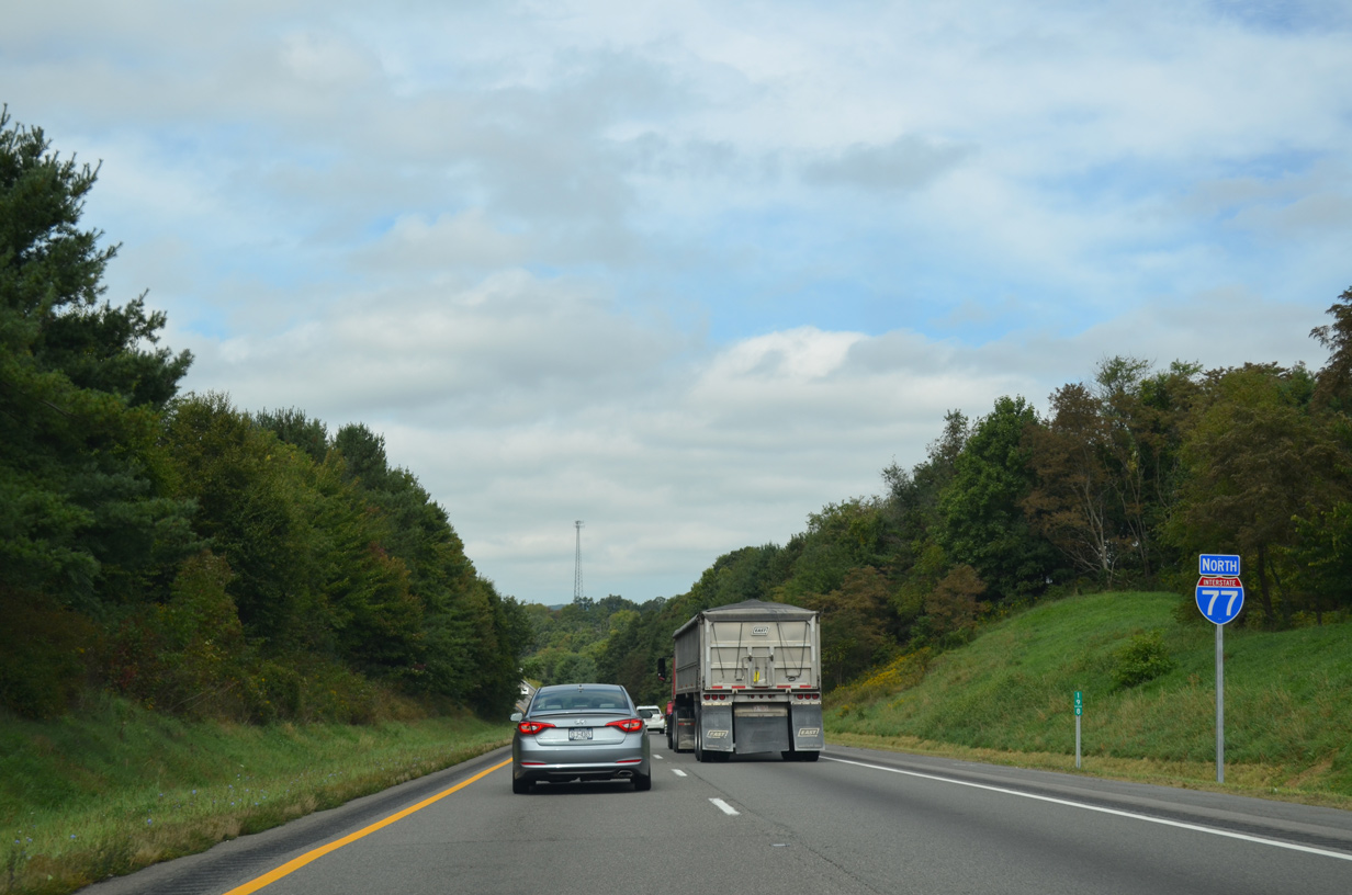
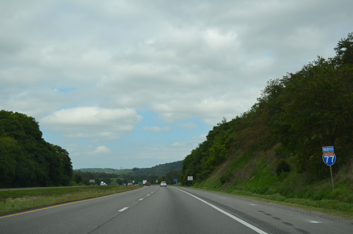
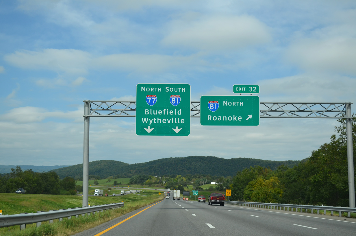
Interstate 77 converges with I-81 five miles north of Hematite Mountain.
09/23/14
09/23/14

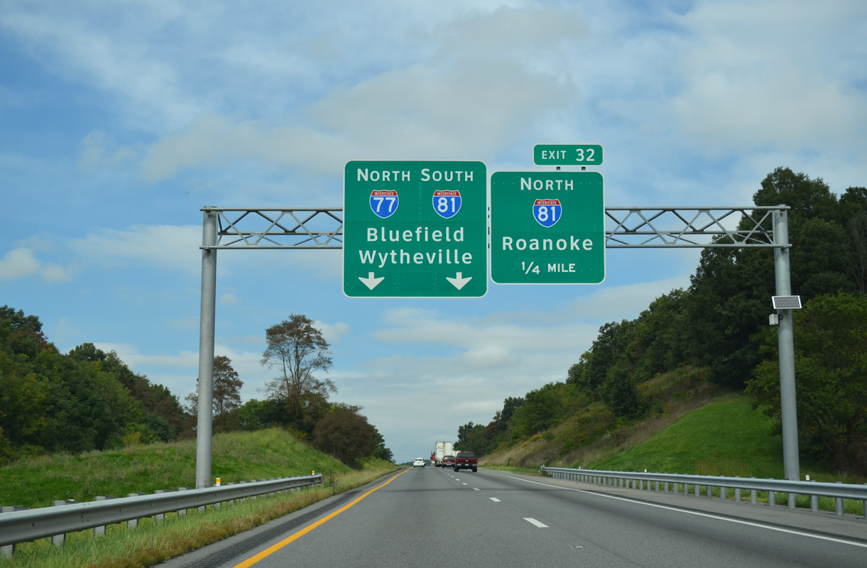
A trumpet interchange joins I-77 north with I-81/U.S. 11 at Exit 32. I-81 and U.S. 11 overlap between Exit 73 at Wytheville and Exit 89 at Pulaski.
09/23/14
09/23/14
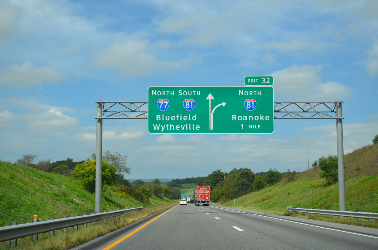
Interstate 81 travels 12 miles northeast to Pulaski and 62 miles from I-77 to Roanoke.
09/23/14
09/23/14
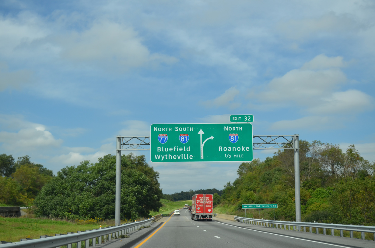
I-77 north combines with I-81 south for 7.7 miles into the town of Wytheville.
09/23/14
09/23/14
09/23/14
09/23/14
Lick Mountain rises to the southwest of I-77/81 and Fort Chiswell.
09/23/14
09/23/14
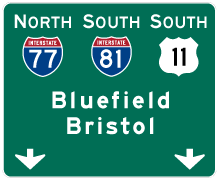

Photo Credits:
- ABRoads: 09/23/14
Connect with:
Page Updated Sunday April 18, 2021.