
U.S. 58
U.S. 58 stretches across the width of Virginia from Cumberland Gap at the southwestern tip of the state to the Atlantic Ocean in Virginia Beach. The route measures 509.34 miles in The Old Dominion. The highway joins Jonesville, Gate City and Bristol at the Tri-Cities of Tennessee to the west. East from Independence in Grayson County, U.S. 58 continues to Galax, Hillsville and Martinsville.
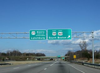
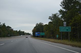
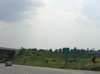
U.S. 58 bypasses Danville along the Danville Expressway, where U.S. 29 ties in between Reidsville, North Carolina and Chatham. The four lane corridor stays close to the North Carolina state line east to South Boston, South Hill, Emporia, Courtland and Franklin. Within Hampton Roads, U.S. 58 overlaps with U.S. 13 from Suffolk into Chesapeake. The route parallels I-264 into Portsmouth and crosses the Midtown Tunnel into Norfolk.
U.S. 58 Virginia Guides
East
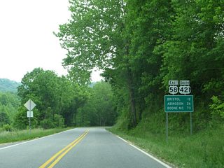
U.S. 58/421 - Gate City to Bristol - 29 photos
U.S. 29/58 - Danville Expressway - 68 photos
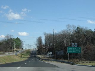
U.S. 58/360 - Danville to South Boston - 67 photos

Hampton Roads - 11 photos
West
Hampton Roads to Courtland - 25 photos
U.S. 29/58 - Danville Expressway - 49 photos
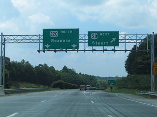
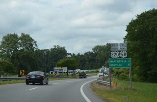
U.S. 58/220 - Martinsville - 39 photos
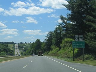
U.S. 58/221 - Hillsville to Independence - 34 photos
Business Routes
Martinsville - 16 photos
U.S. 58 Business in Virginia Beach follows Virginia Beach Boulevard east from U.S. 58 (Laskin Road) 3.97 miles to U.S. 60 (Pacific Avenue) at 17th Street by the oceanfront.
Connect with:
Page Updated Monday April 26, 2021.