
Interstate 80

Interstate 80 runs 68.54 miles across North Jersey, from Delaware Water Gap at Hardwick Township to Interstate 95 at Teaneck Township. The freeway was completed in New Jersey by November 1973 (Anderson, n.d.).
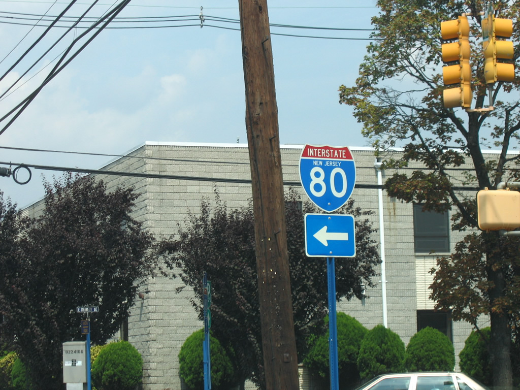
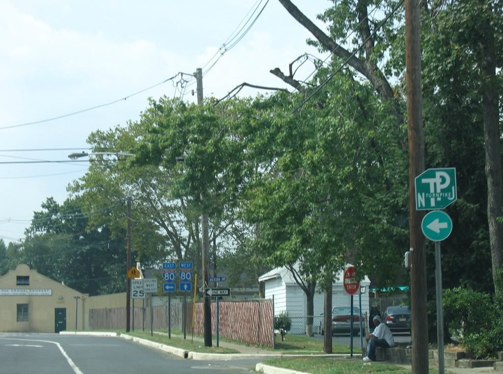
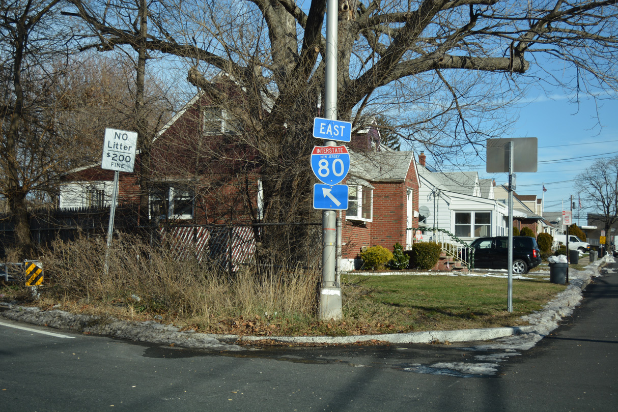
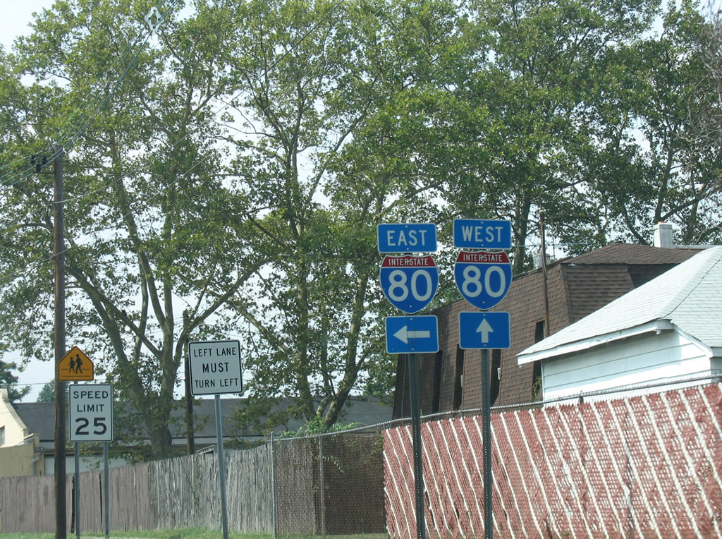
Interstate 80 New Jersey Guides
East

Delaware Water Gap to Netcong - 54 photos

Roxbury Township to Parsippany-Troy Hills - 42 photos
Montville Township to Teaneck - 66 photos
West
Teaneck to Parsippany - 60 photos

Parsippany to Roxbury Township - 48 photos

Netcong to Delaware Water Gap - 72 photos
I-80 weaves through mountainous terrain east into New Jersey, straddling the Delaware River southeast from Kittatinny Mountain to Columbia before curving east to Jenny Jump Mountain and Allamuchy Township. The last major elevation change takes I-80 over Allamuchy Mountain into Mount Olive Township.
U.S. 206 ties into I-80 by the borough of Netcong, which represents the western extent of the North Jersey suburbs. Continuing east, traffic increases along I-80 to Interstate 287 through Wharton, Rockaway Township, Denville Township and Parsippany-Troy Hills Township. New Jersey Department of Transportation (NJDOT) traffic counts increased from 70,633 vehicles per day (vpd) as recorded in 2010 west of Netcong to 158,825 vpd as recorded in 2011 counts ahead of I-280.
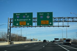
A lengthy collector distributor roadway system accompanies I-80 between I-287 and the separation with Interstate 280 southeast to Orange and Newark. Beyond that wye interchange, I-80 curves northward to Great Piece Meadows through Fairfield Township ahead of an urbanized stretch through Totowa, Paterson, Elmwood Park and Saddle Brook Township. An Express / Local roadway setup takes I-80 southeast from Hackensack to Ridgefield Park and the dual freeway along I-95 east to Fort Lee and the George Washington Bridge.

Interstate 80 trailblazer referencing the entrance ramp from the Knowlton Tourist Information Center I-80 eastbound. The rest area includes a picnic area east of this assembly.
07/26/24

An I-80 east trailblazer faces the picnic area access road at the Knowlton Tourist Information Center in Knowlton Township.
07/26/24
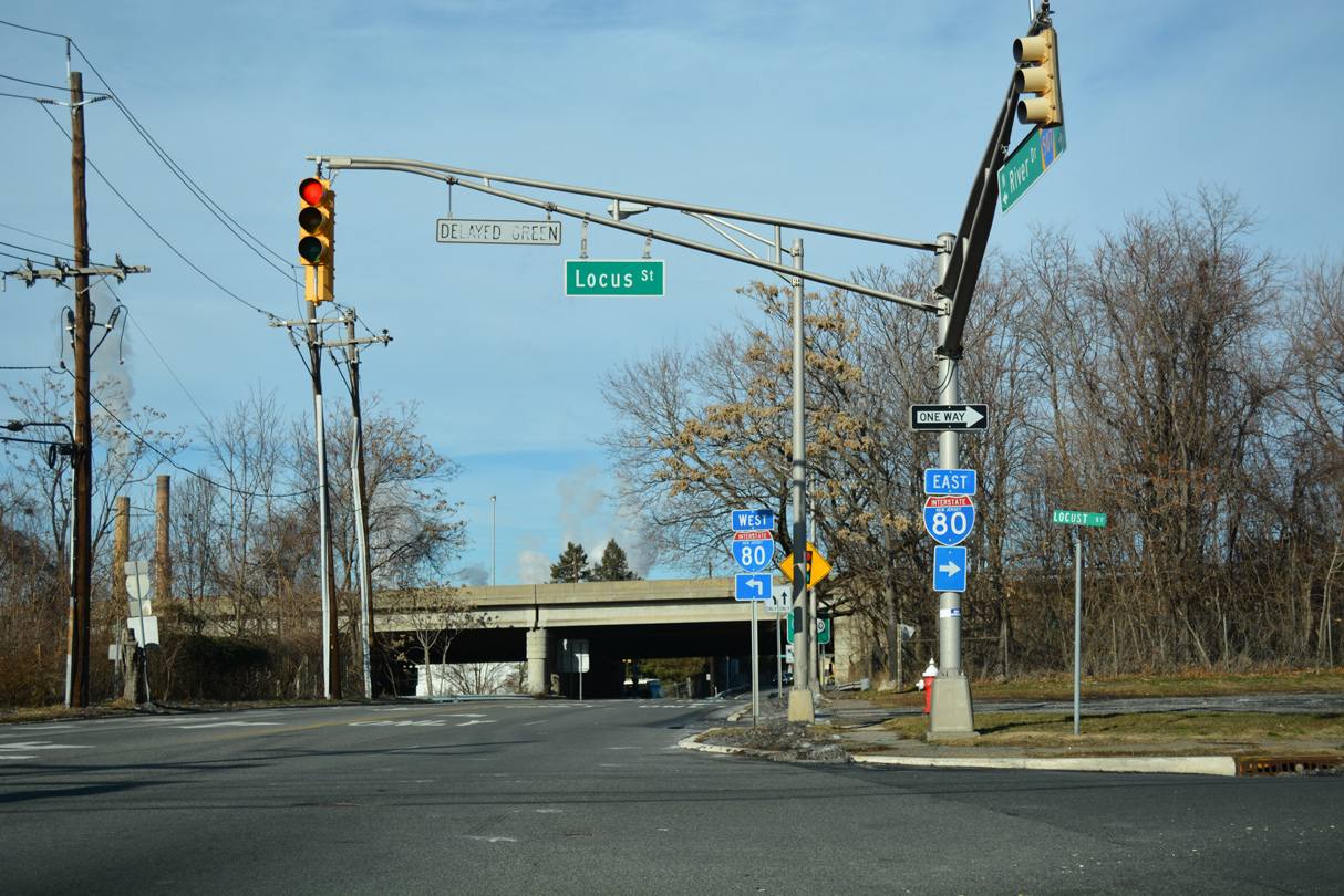
CR 507 (River Drive) heads north from U.S. 46 in the borough of Elmwood Park to Interstate 80 at Locust Street.
12/19/16
Locust Street stems east from River Drive to the eastbound entrance ramp for Interstate 80 and Elmhurst Street.
12/19/16
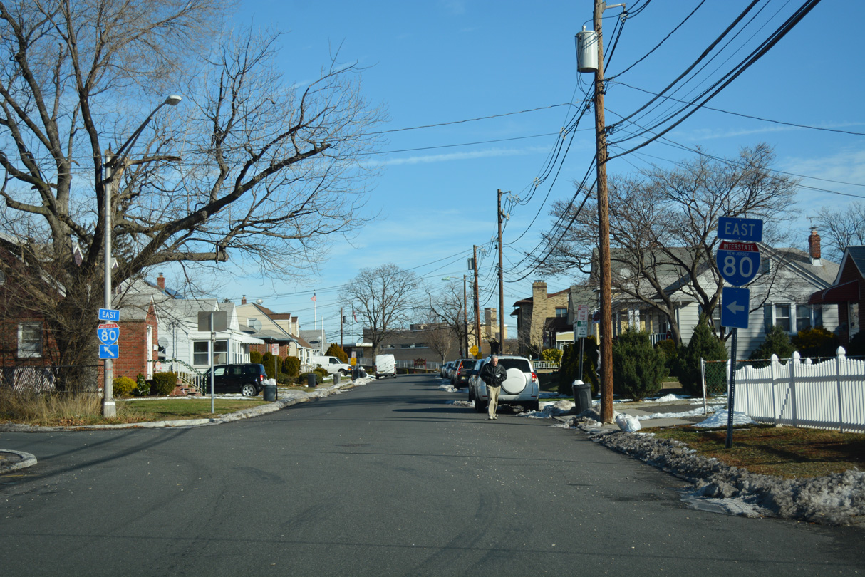
Interstate 80 trailblazer directing traffic from Hudson Street (CR 124) north onto Kennedy Street west in Hackensack.
08/29/05
Ramps connect Kennedy Street with the Local lanes of I-80 two blocks to the west of Hudson Street in Hackensack.
08/29/05
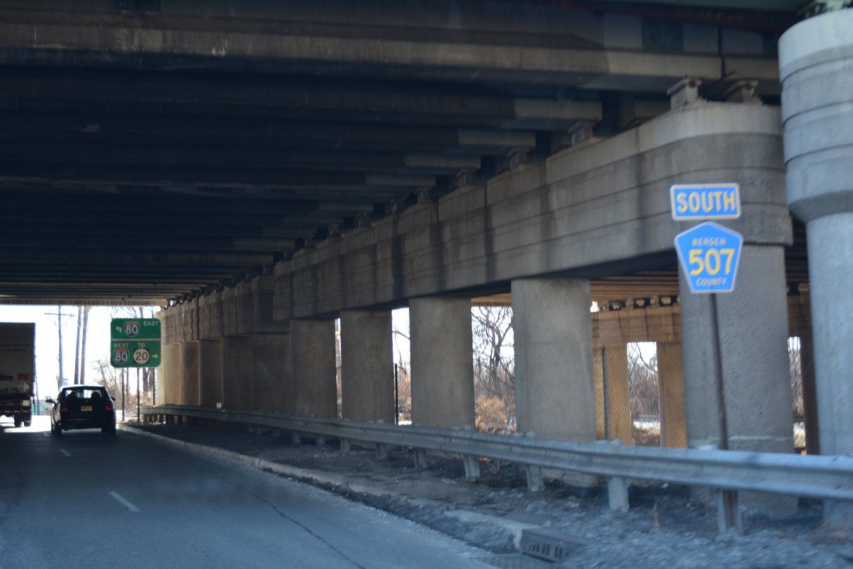
CR 507 (River Drive) intersects Market Street (CR 56) within the parclo interchange at Exit 61 along Interstate 80. This confirming marker stands southbound below the freeway.
12/19/16
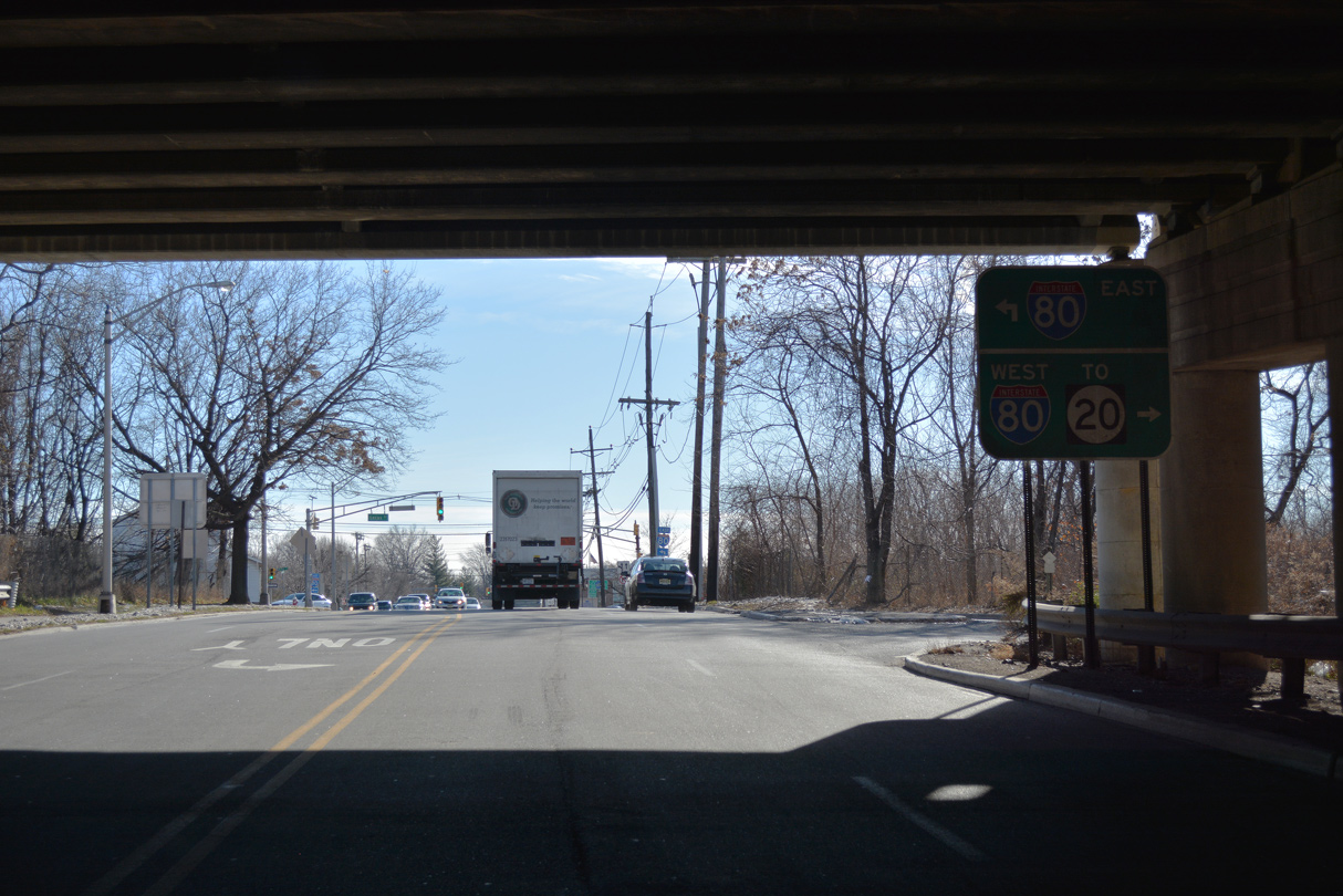
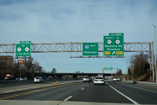
The entrance ramp from CR 507 (River Drive) joins I-80 west ahead of Exit 60 to Route 20 (McLean Boulevard) in the city of Paterson.
12/19/16
References:
Anderson, S. (n.d.). Interstate 80 (New Jersey). NYCRoads.com. http://www.nycroads.com/roads/I-80_NJ/
Photo Credits:
- Brent Ivy: 07/26/24
- Alex Nitzman: 12/19/16
- AARoads: 08/29/05
Connect with:
Page Updated Tuesday May 12, 2026.