
Interstate 82 East - Ellensburg to Yakima
 East
East  South
South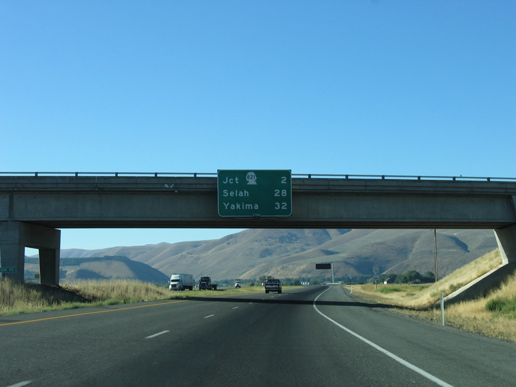
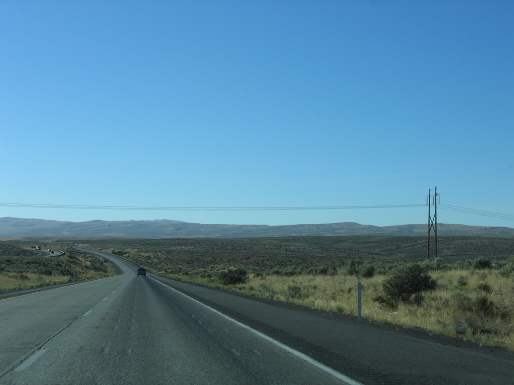
Attached to the Tjossem Road overpass is the first distance sign of Interstate 82 east. Selah and Yakima lie south of the climb over Umtanum Ridge in 28 and 32 miles respectively.
08/31/06
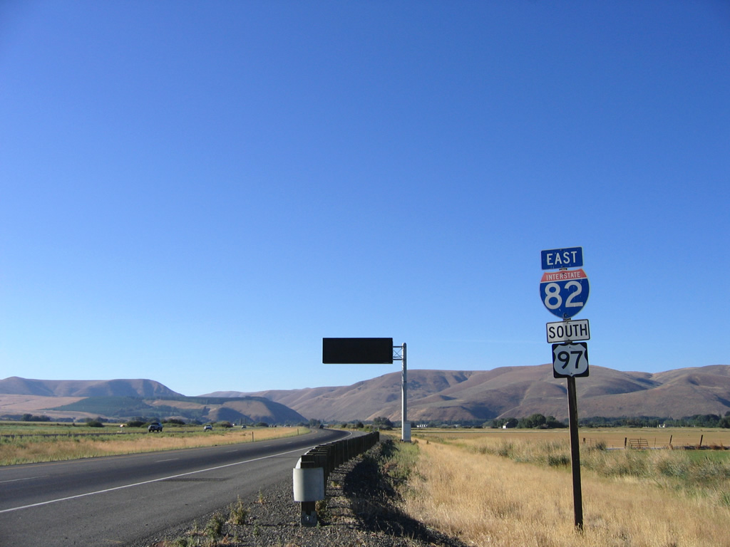
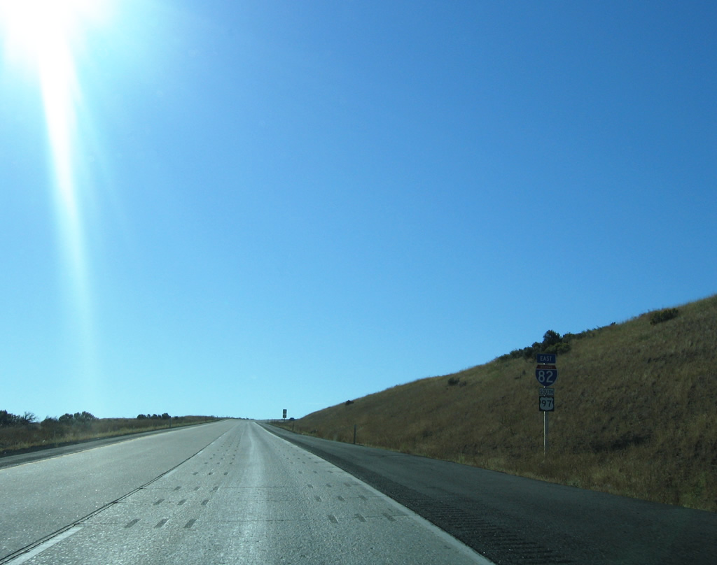
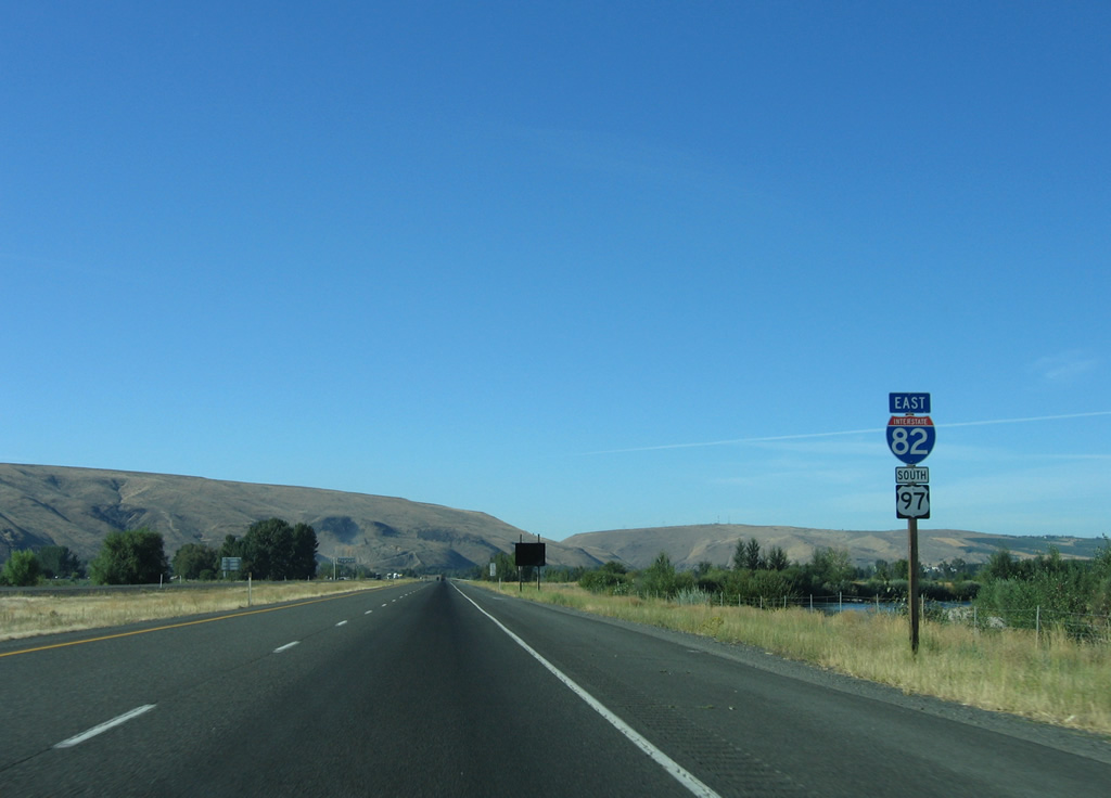
The first shield assembly posted for Interstate 82 coincides with U.S. 97 south. The freeway begins near Ellensburg in Kittitas Valley.
08/31/06

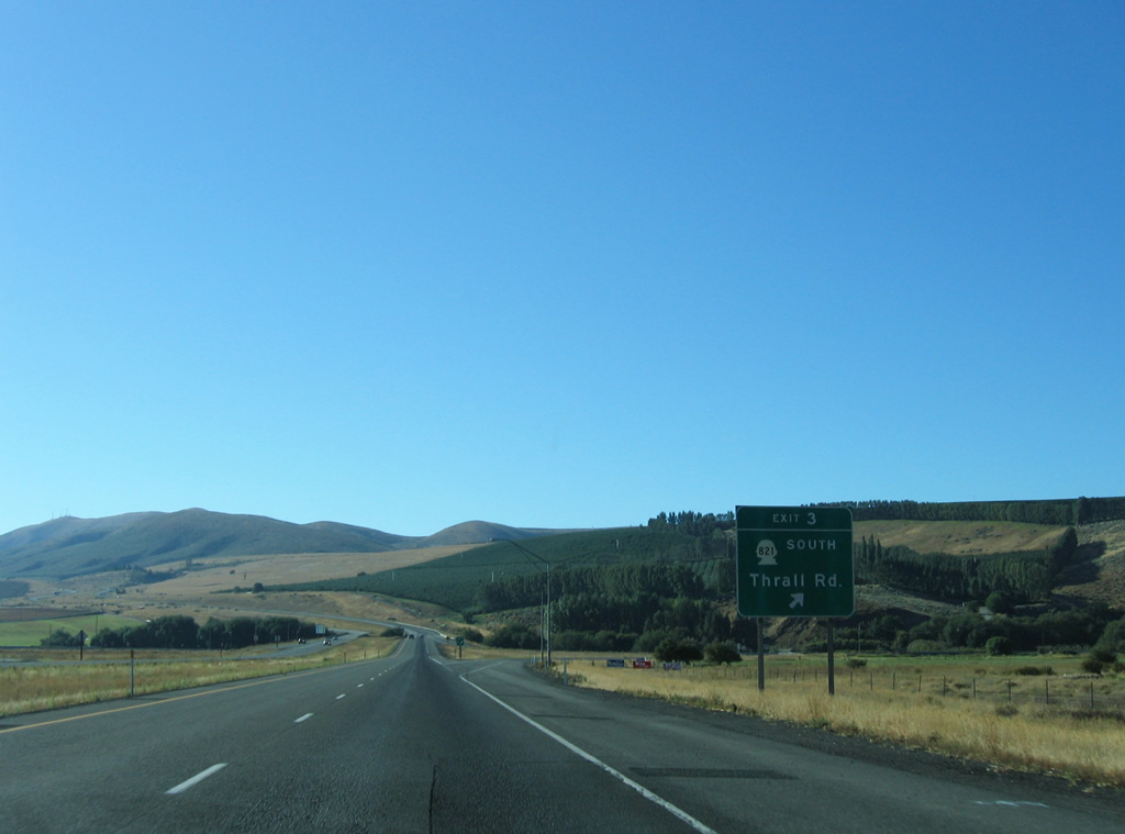
SR 821 begins at a folded diamond interchange (Exit 3) with I-82 in one mile. The state route follows Thrall Road west to Canyon Road south at Thrall.
08/31/06
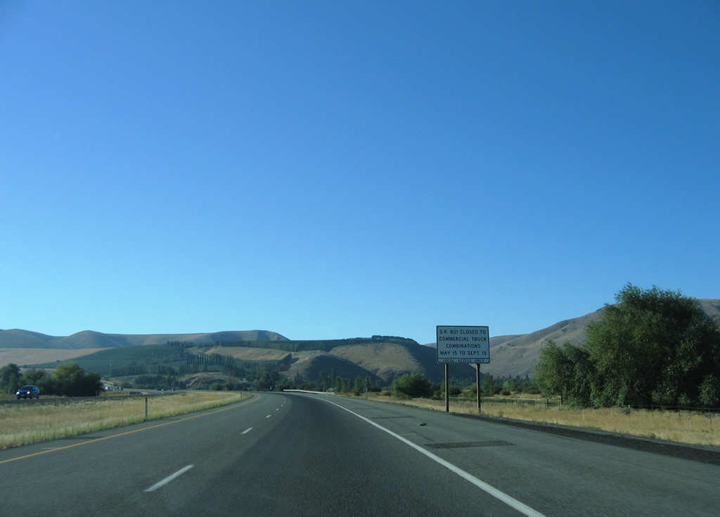
SR 821 is restricted to trucks during the warm weather months as it parallels the Yakima River through Manastash and Umtanum Ridges to Selah. The state route follows the original alignment of U.S. 97.
08/31/06
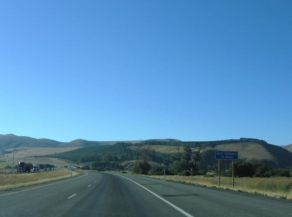
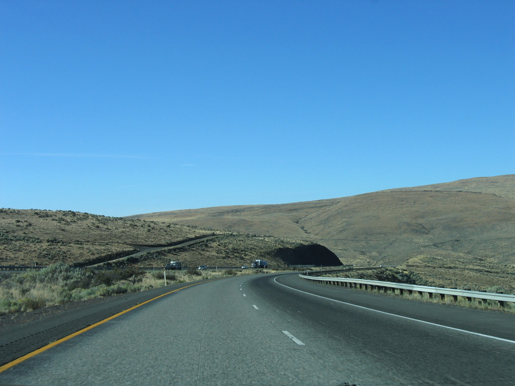
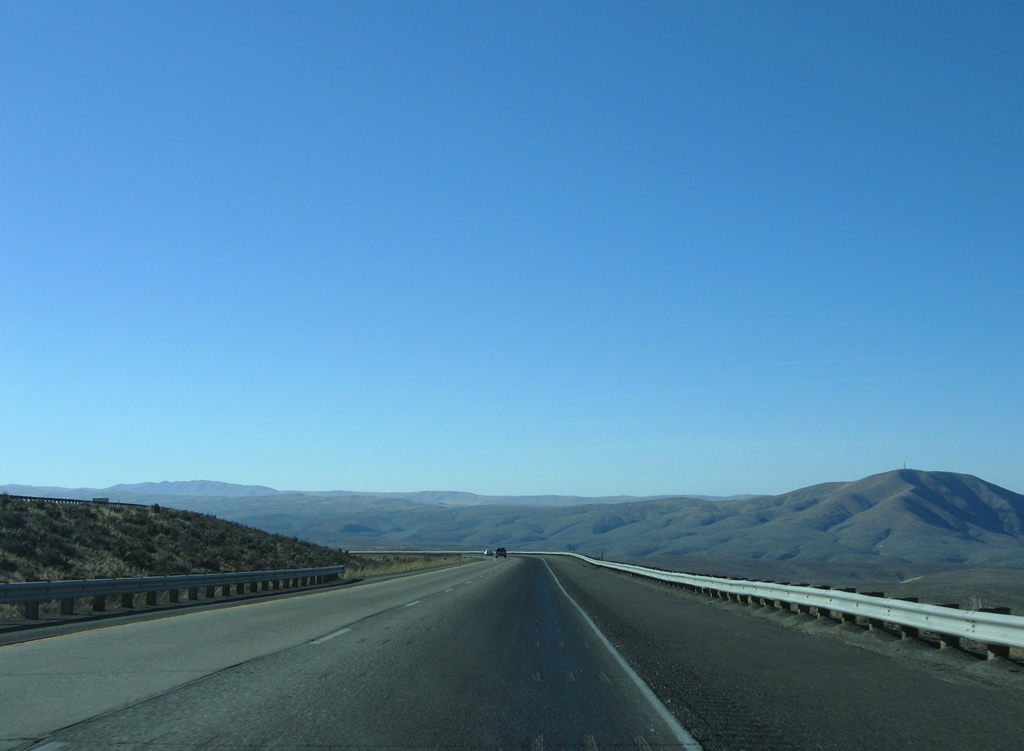
There are no services along the 24 mile stretch of Interstate 82 east between Exit 3 and Exit 26 at East Selah.
08/31/06
SR 821 travels 25.21 miles from Exit 3 and Thrall to Exit 26 at East Selah. The state route used to continue north from Thrall along Canyon Road to Holmes and Interstate 90 at Ellensburg.
08/31/06
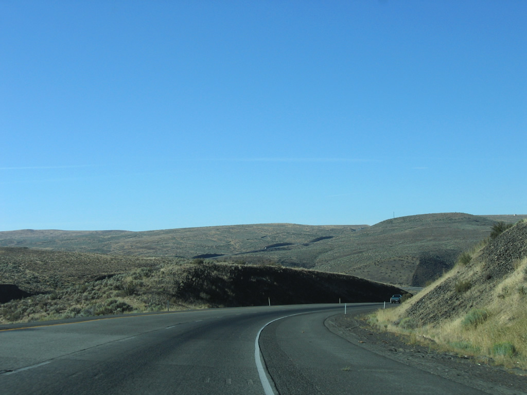
Interstate 82 begins the rise onto Manastash Ridge from near Thrall and Edgemont.
08/31/06
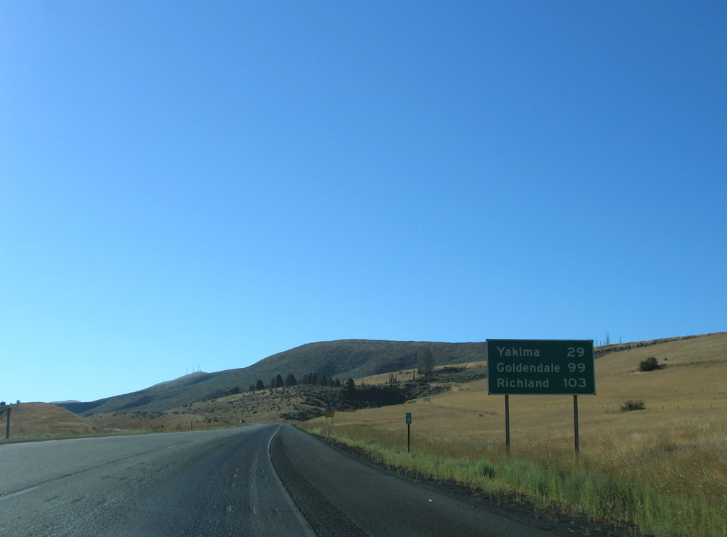
Goldendale, the southbound destination of U.S. 97 beyond Interstate 82, joins Richland as the next two control cities featured Yakima.
08/31/06
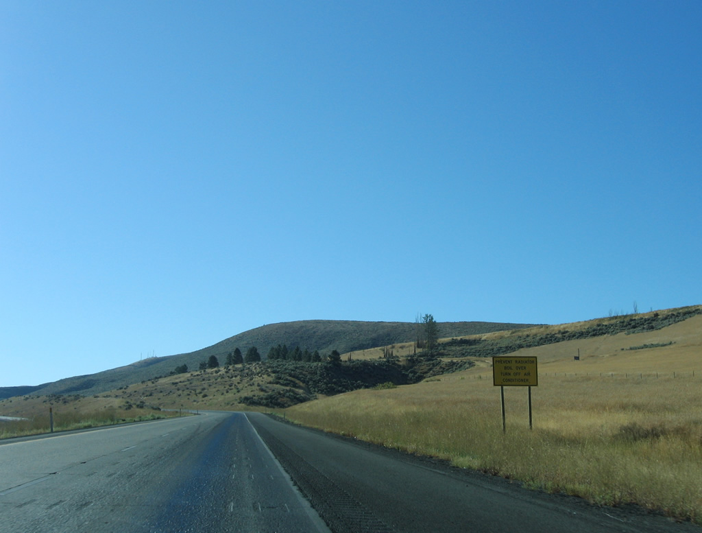
The climb from 1,440 feet above sea level to 2,672 feet on Manastash Ridge can cause car radiators to boil over. This sign advises to discontinue the use of air conditioning for eastbound motorists during hot weather.
08/31/06

Interstate 82 angles southeast just below the peaks of Manastash Ridge on this scene.
08/31/06
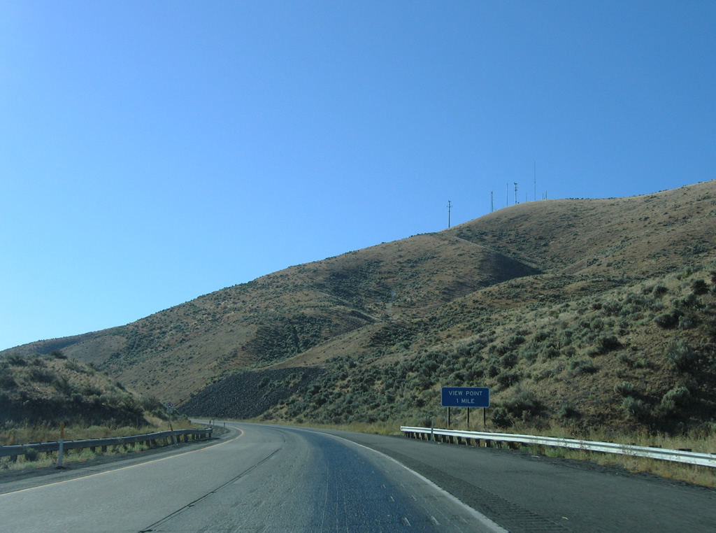
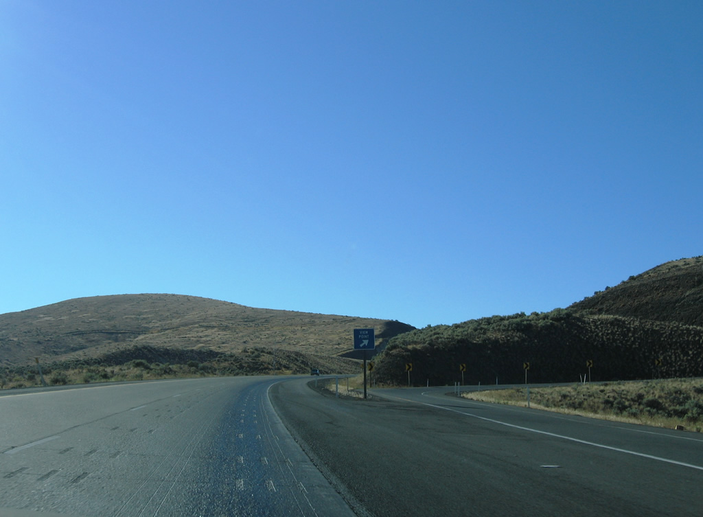
Scenic pull-offs line both sides of Interstate 82 near Vanderbilt Gap across Manastash Ridge.
08/31/06
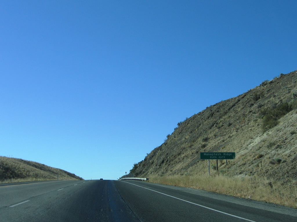
Cresting over Manastash Ridge at 2,672 feet above sea level on Interstate 82 east. The freeway continues across the south side of the mountain to the Lmuma Creek valley.
08/31/06
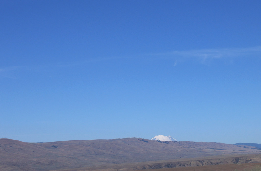
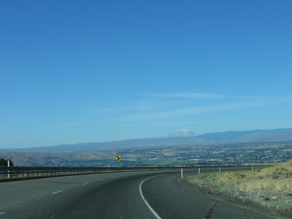
Mount Rainier (elevation 14,411 feet) appears beyond Umtanum Ridge to the west of Interstate 82.
08/31/06
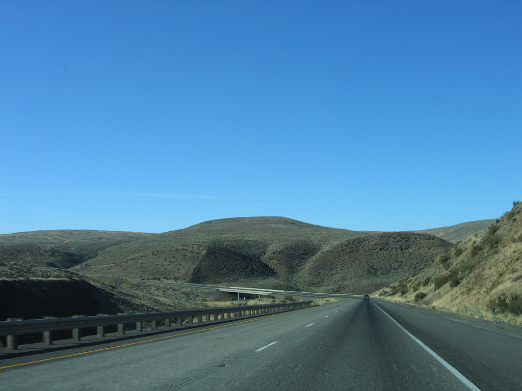
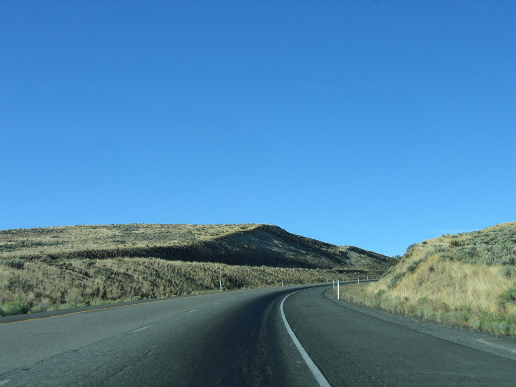
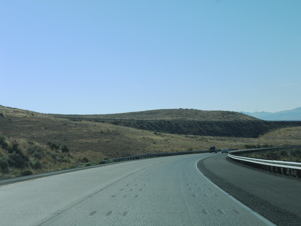
Continuing south by Manastash Ridge on Interstate 82 east.
08/31/06
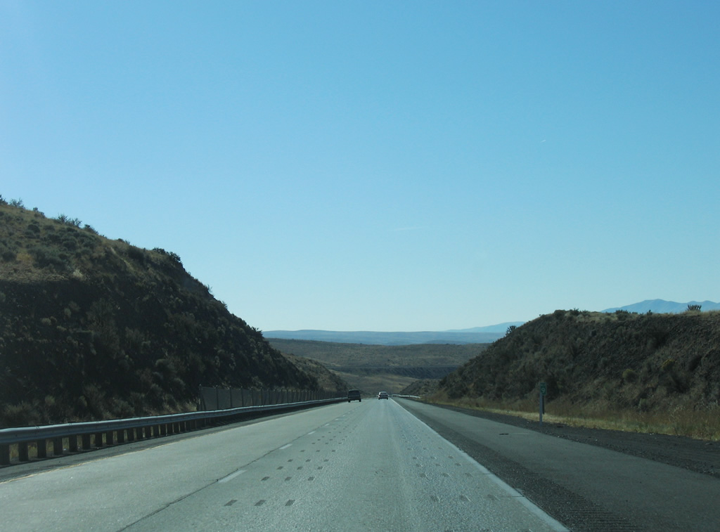
Interstate 82 east / U.S. 97 south enter the U.S. Military Reservation Yakima Training Center ahead of the diamond interchange at Exit 11.
08/31/06
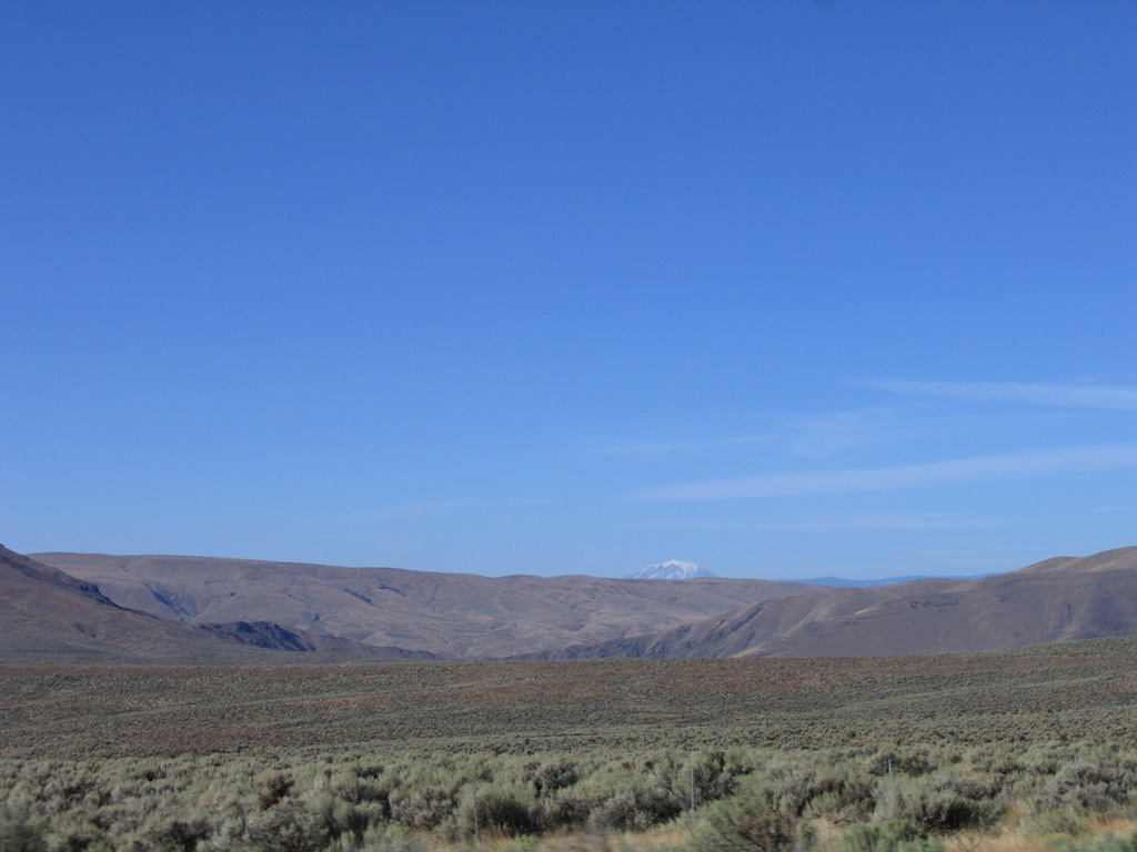
Mount Adams appears along the southwestern horizon on the decline from Manastash Ridge to the southwest.
08/31/06
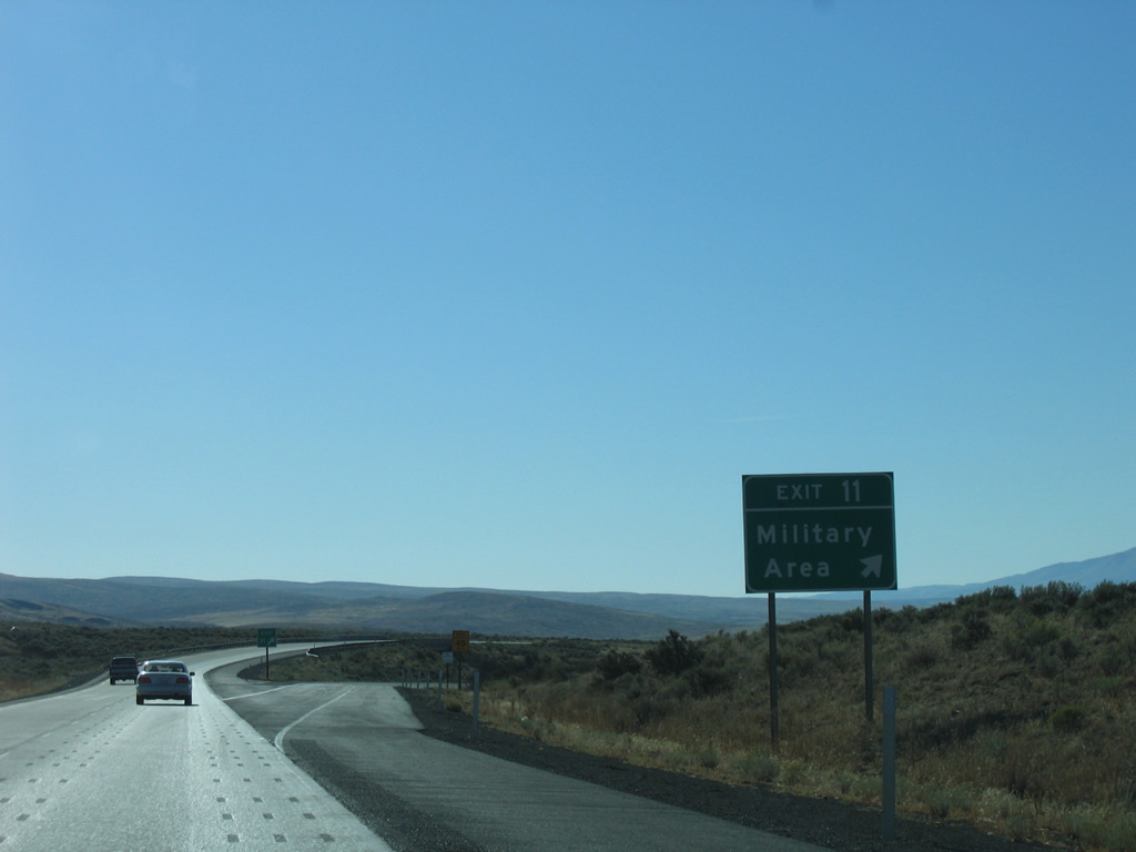
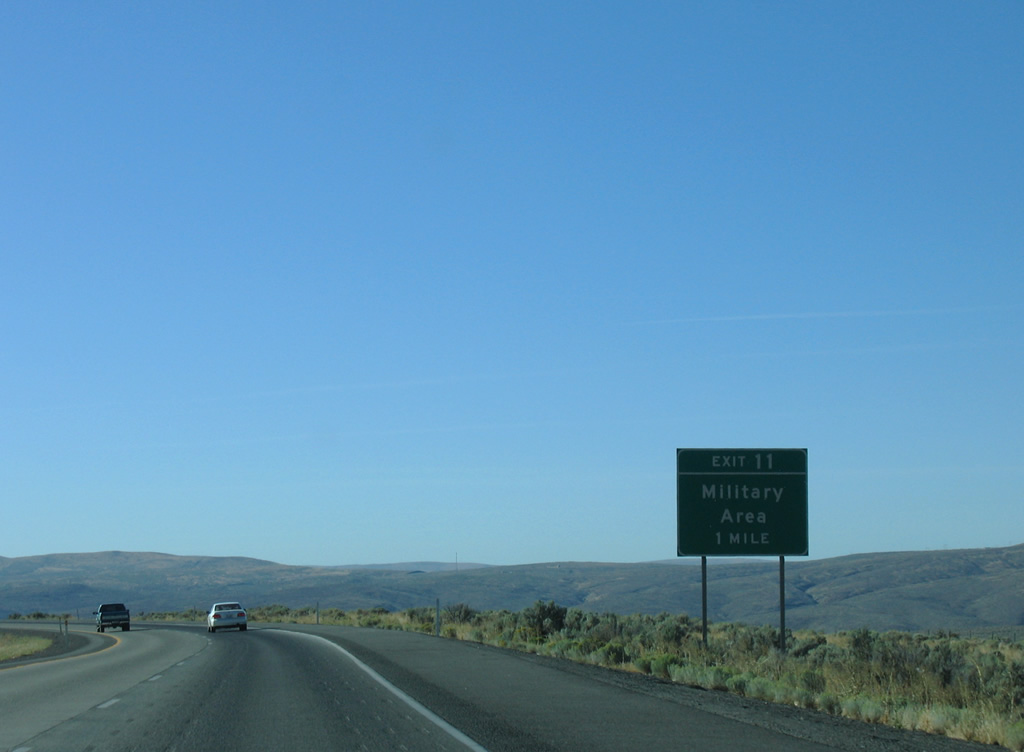
Exit 11 connects I-82/U.S. 97 with Military Road in western reaches of the Yakima Training Center. Restricted unpaved roads lead east into the military reservation from the exchange.
08/31/06
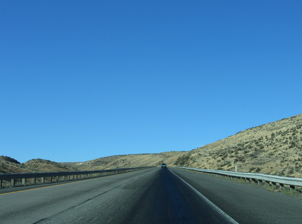
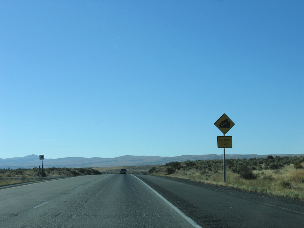
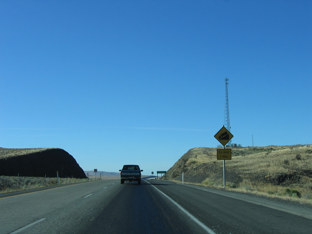
Interstate 82 lowers and briefly rises before dropping at a 5% grade to span Lmuma Creek.
08/31/06
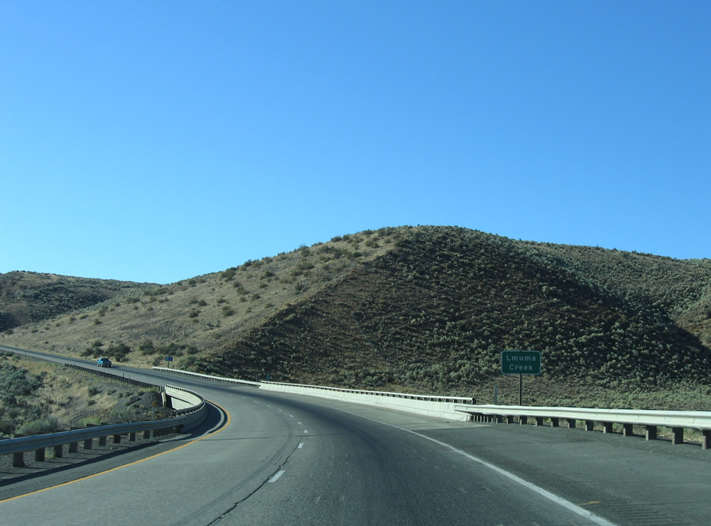
Turning southwest, the freeway descends into Lmuma Creek valley before rising onto North Umtanum Ridge. Rock cuts from the freeway are visible in the distance.
08/31/06
I-82/U.S. 97 bottom out at Lmuma Creek, curving southeast and then southwest to Burbank Valley.
08/31/06
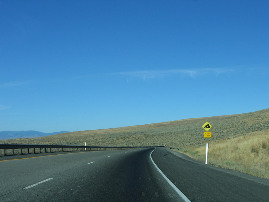
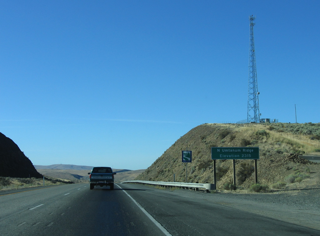
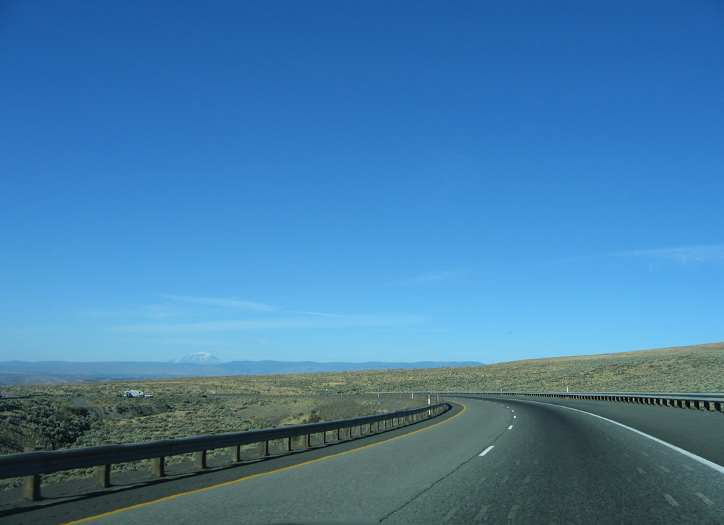
Roadways splits come together on the southwest ascent to North Umtanum Ridge (elevation 2,315 feet). Truckers are advised of another 5% grade as I-82/U.S. 97 drop south into Burbank Valley.
08/31/06
I-82/U.S. 97 curve westward and lower to span Burbank Creek within Burbank Valley. This stretch of freeway was built by 1970.
08/31/06
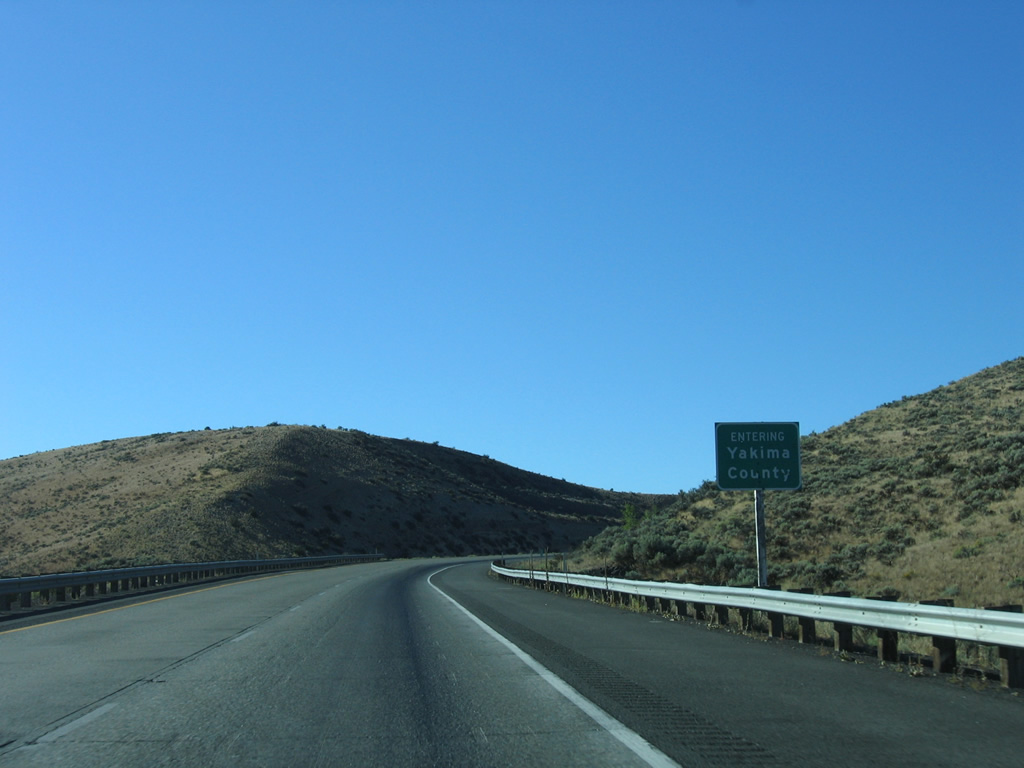
I-82 runs 19.88 miles south through Kittitas County into Yakima County.
08/31/06
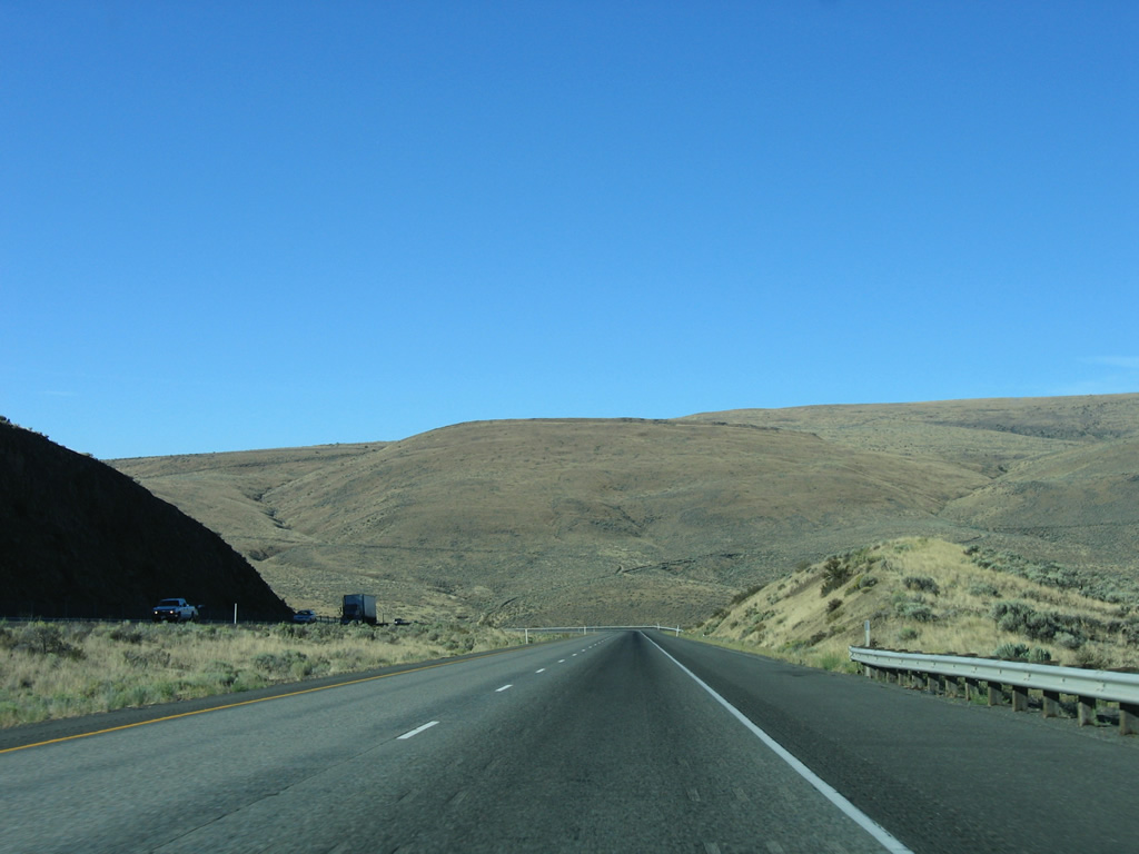
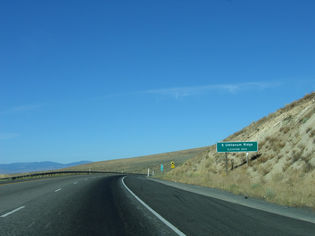
Cresting over South Umtanum Ridge at 2,265 feet above sea level. The freeway angles southwest to Selah from this point.
08/31/06
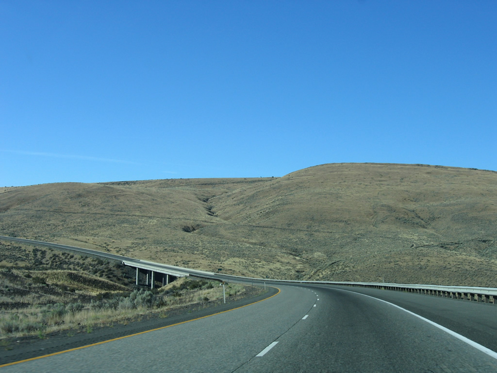
A 5% grade lowers I-82/U.S. 97 to 1,400 feet above sea level at Selah Creek.
08/31/06
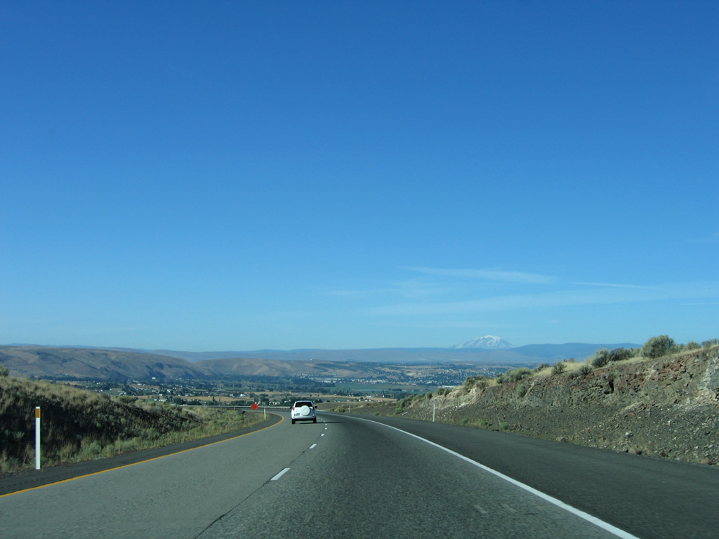
Selah Valley spreads below with Mount Adams rising along the western horizon in this scene along I-82 east / U.S. 97 south.
08/31/06
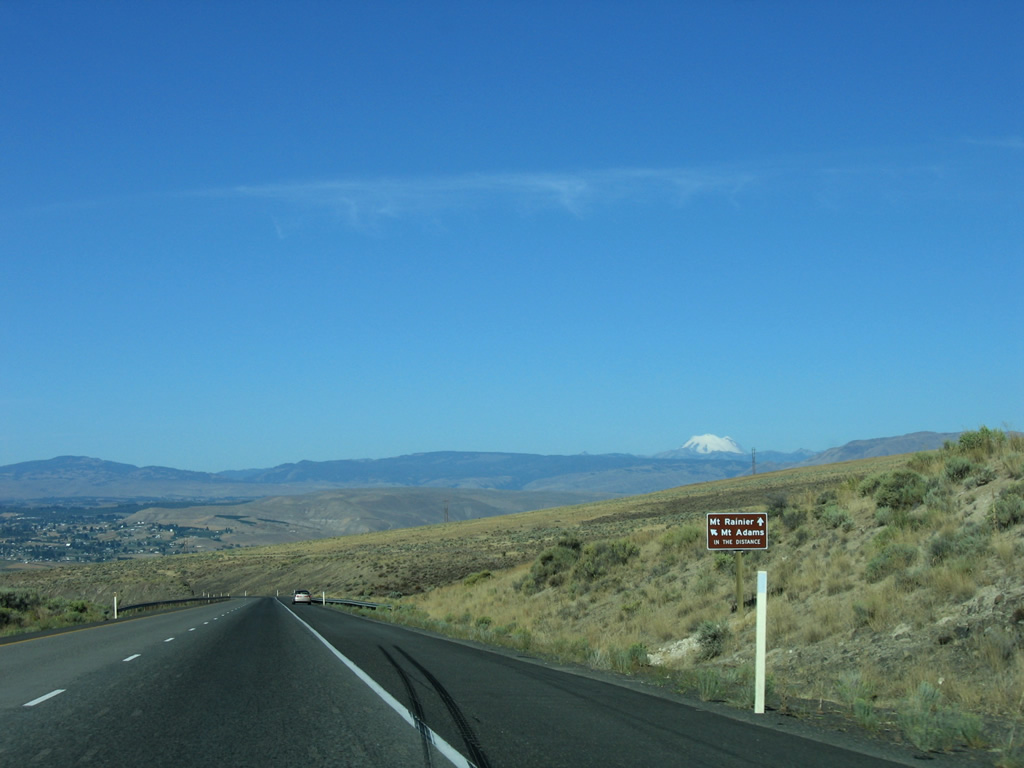
An informative sign accurately points out the peaks of Mount Adams and Rainier to motorists on the drop south from Selah Butte.
08/31/06
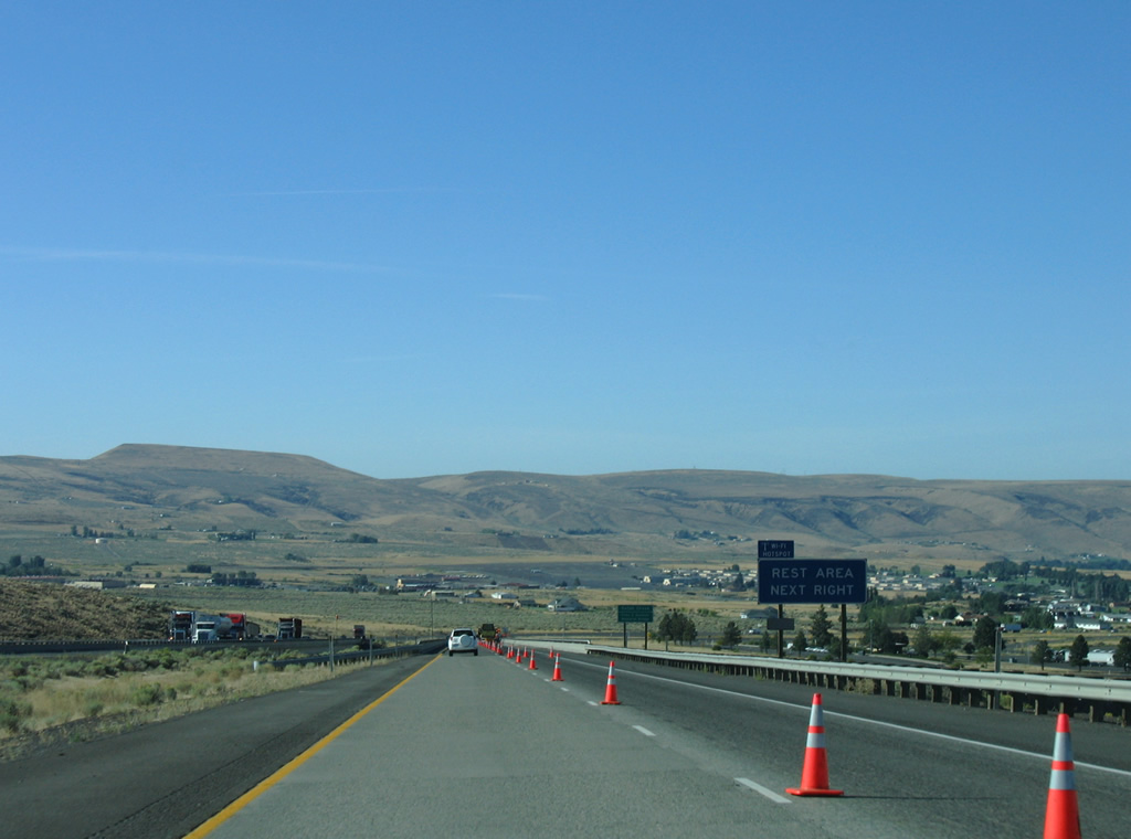
A rest area follows beyond the concrete arch bridges over Selah Creek on I-82/U.S. 97 east. Buildings in in the background are within Yakima Training Center.
08/31/06

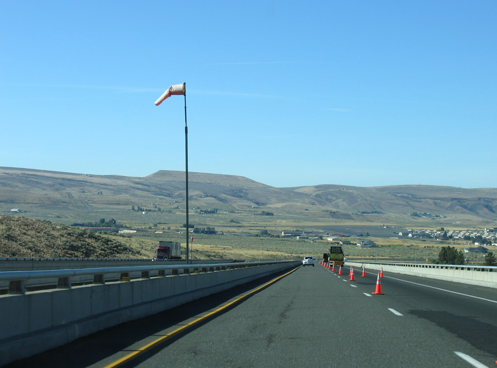
The wind sock acknowledges severe side winds are possible across the Fred G. Redmon Memorial Bridge of Interstate 82 over Selah Creek. Completed in 1969, the bridges rise 325 above the narrow creek and travel 1,336 feet.
08/31/06
SR 821 returns to Interstate 82 to end at the diamond interchange (Exit 26) with Firing Center Road. The state route heads 25.21 miles northward to I-82 at Exit 3.
08/31/06
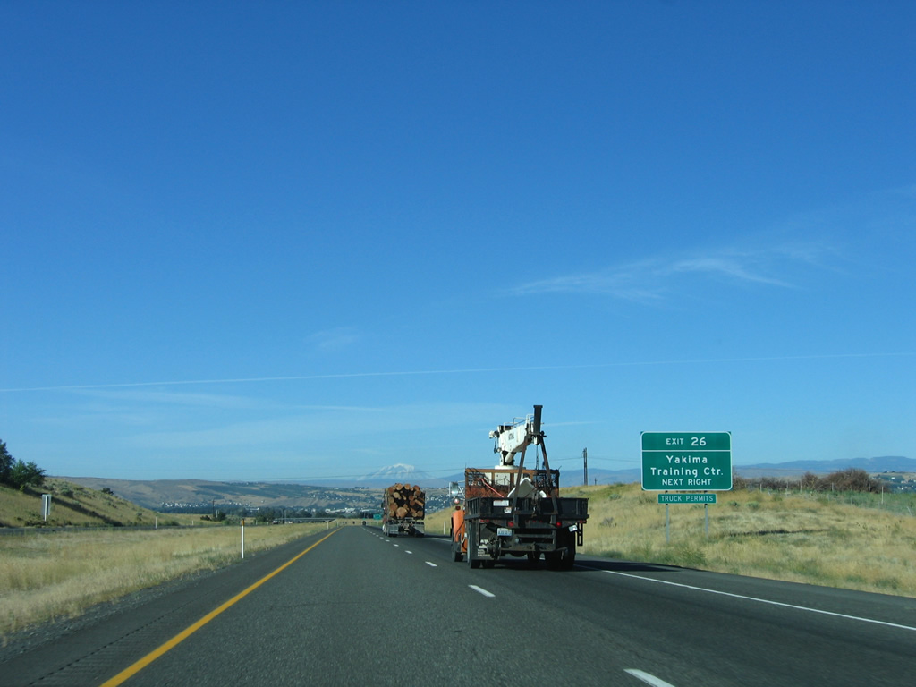
Firing Center Road spurs eastward from SR 821 (Canyon Road) and East Selah Road into the Yakima Training Center.
08/31/06

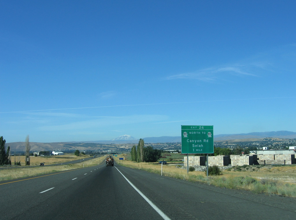
Exit 26 departs I-82/U.S. 97 east at the bridge over Roza Canal. SR 823 begins nearby and follows Harrison Road westward across the Yakima River into Selah. SR 823 loops 5.62 miles west into Selah Valley along an old stretch of U.S. 97.
08/31/06
Reassurance shields posted for I-82/U.S. 97 at East Selah. Several ponds line the west side of the freeway as the Yakima River flows nearby.
08/31/06
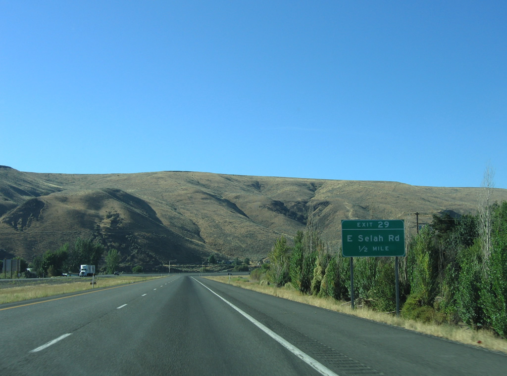
E Selah Road runs southward from Firing Center Road near Exit 26 to Pomona Heights and I-82/U.S. 97 at Exit 29.
08/31/06
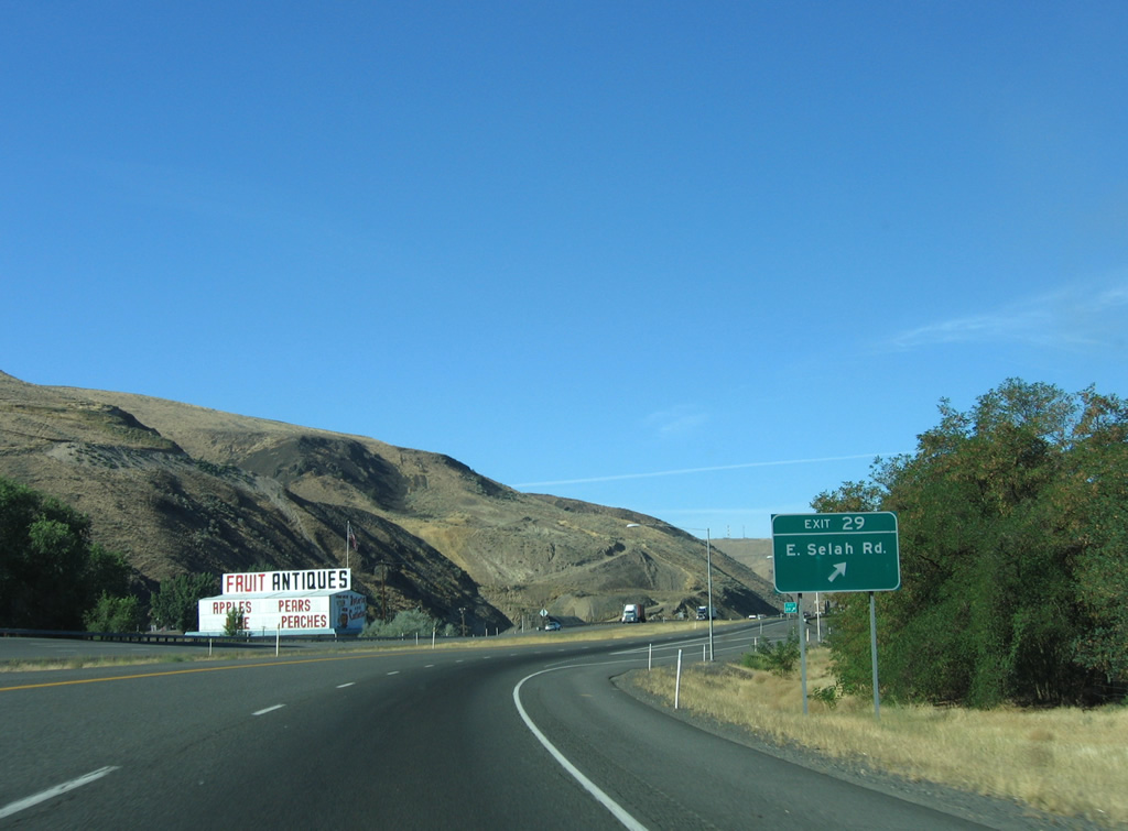
Interstate 82 kinks westward and encircles Yakima Ridge from the diamond interchange (Exit 29) with E Selah Road.
08/31/06
Speed limits drop to 60 mph along Interstate 82 leading to Yakima and Exit 30 with the south end of SR 823 (Rest Haven Road).
08/31/06
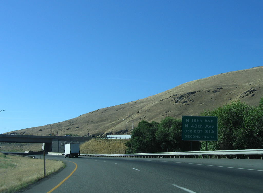
Exit 31 A follows SR 823 for the freeway leading U.S. 12 west through north Yakima and Fruitvale.
08/31/06
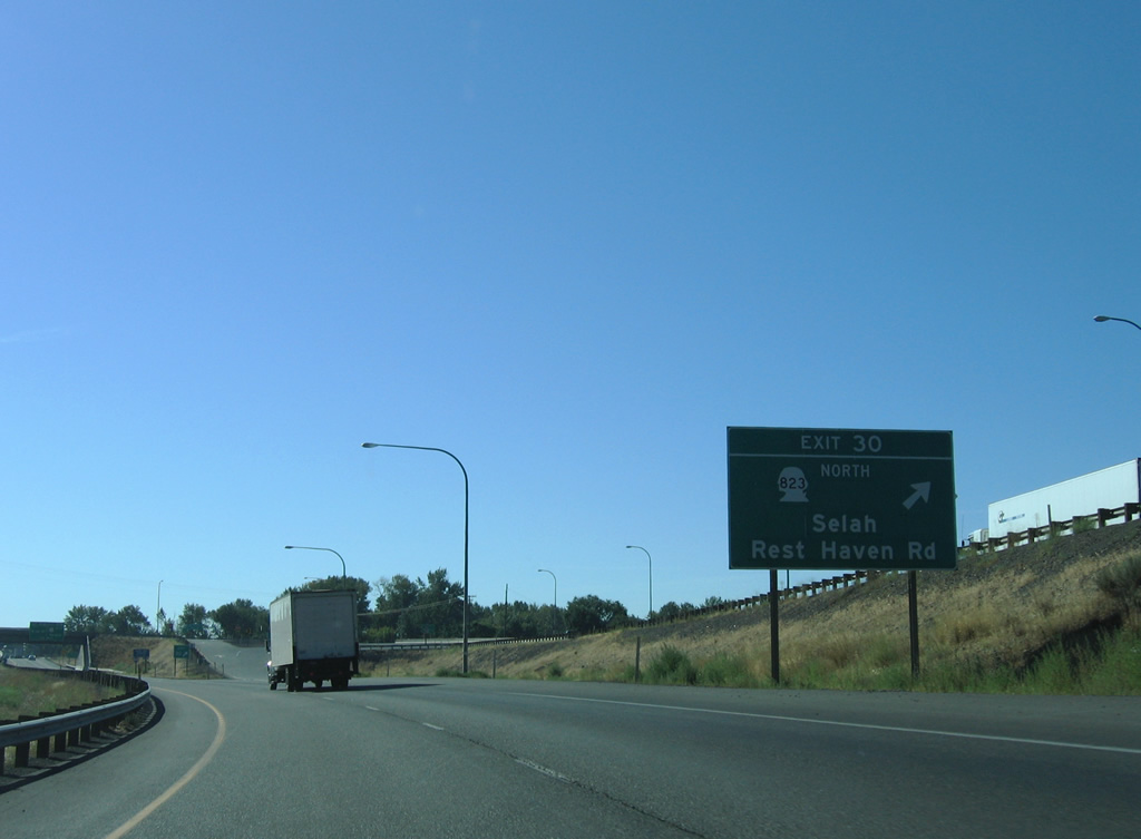
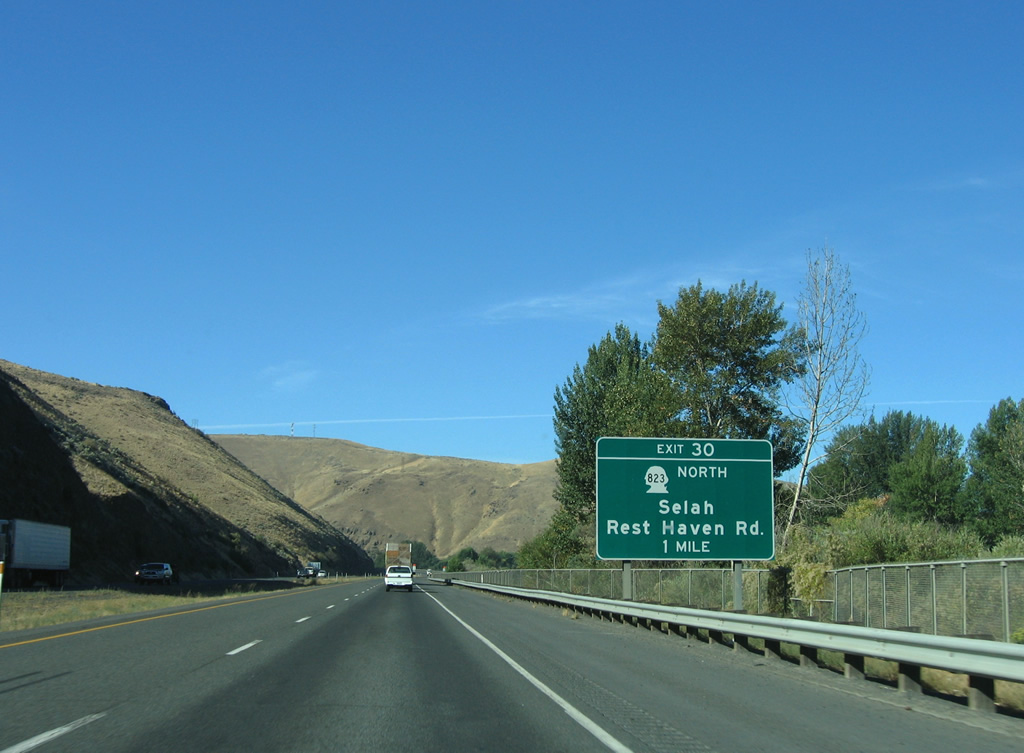
Exit 30 leaves I-82/U.S. 97 east for SR 823 (Selah Road) north to Selah and Rest Haven Road east to Terrace Heights.
08/31/06
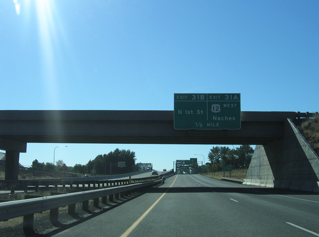
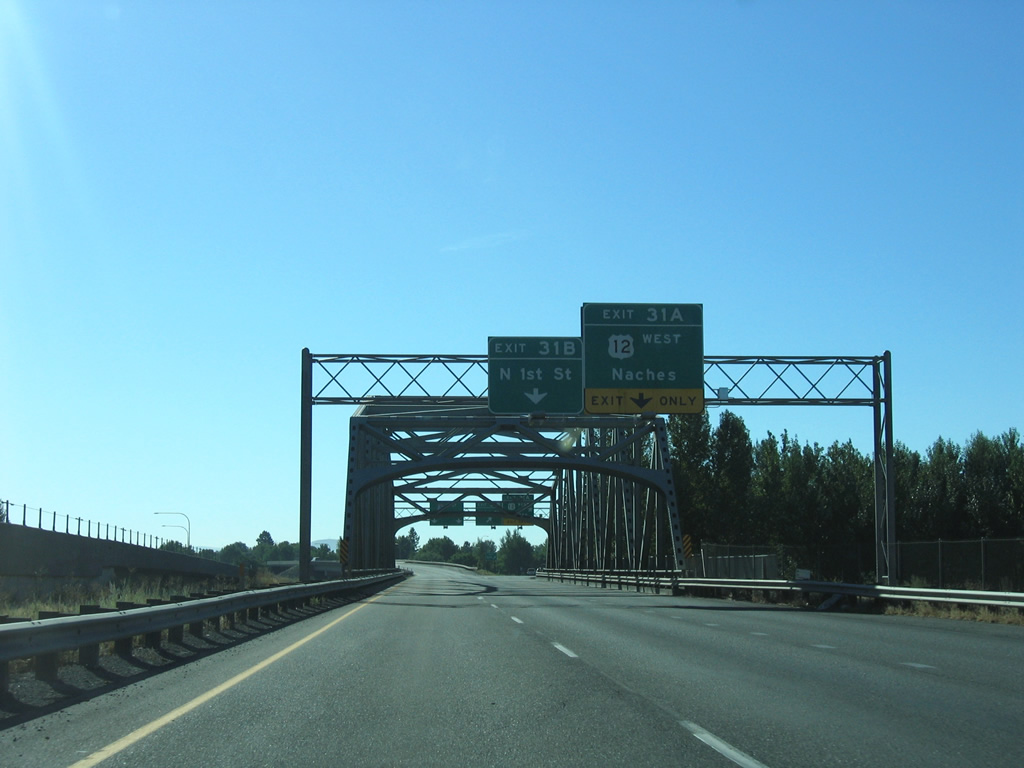
Exit 31 is the first of four for Yakima on I-82/U.S. 97 east. Meeting the freeway next is U.S. 12 along the freeway west to Brace and N 1st Street.
08/31/06
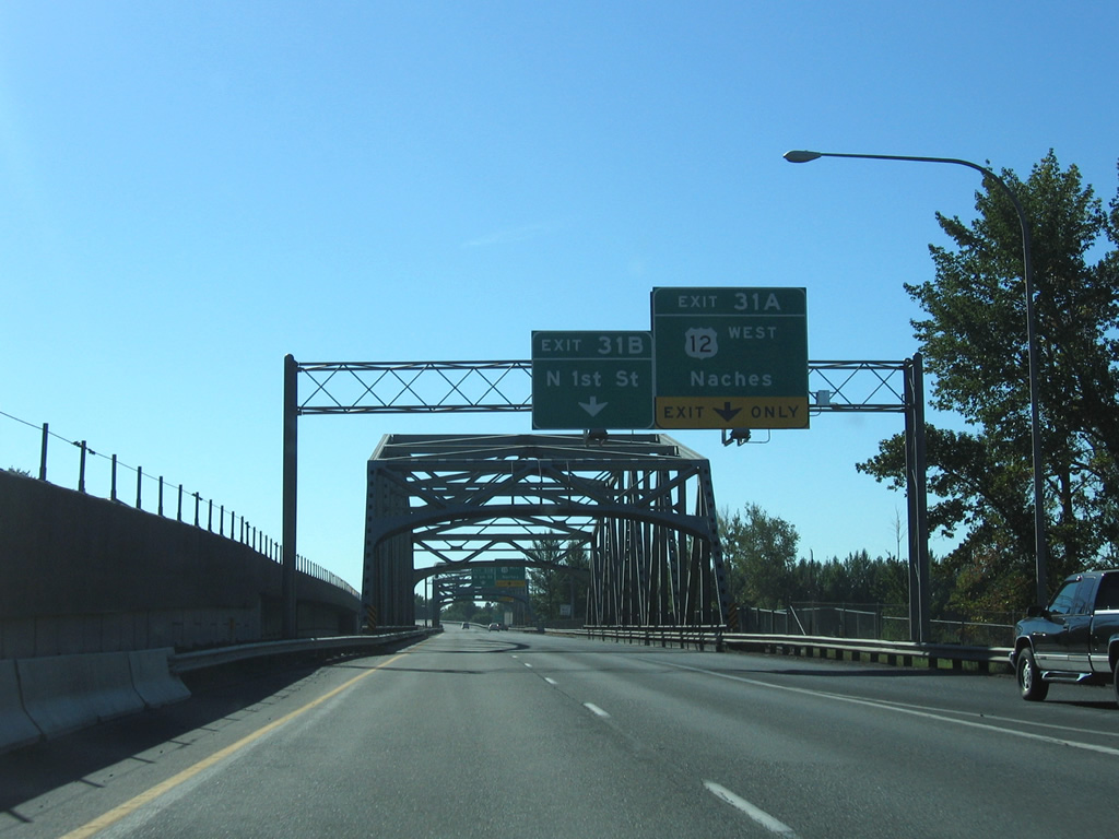
Traffic merging from SR 823 south forms an auxiliary lane to Exits 31 A for U.S. 12 west to Naches and Exit 31 B to N 1st Street (former U.S. 97/Business Loop I-82) south to Downtown Yakima.
08/31/06
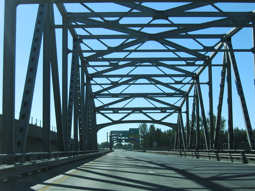
I-82/U.S. 97 span the Yakima River south on a steel truss bridge built in 1960.
08/31/06
Entering the Twin Bridges area of north Yakima, I-82 spans the Naches River into a directional cloverleaf interchange with U.S. 12 and N 1st Street. N 1st Street doubled as a business loop for I-82 until 2000 or so. The business route followed the couplet of B Street and Lincoln Avenue east to 8th Street and Yakima Avenue back to I-82 at Exit 33.
08/31/06
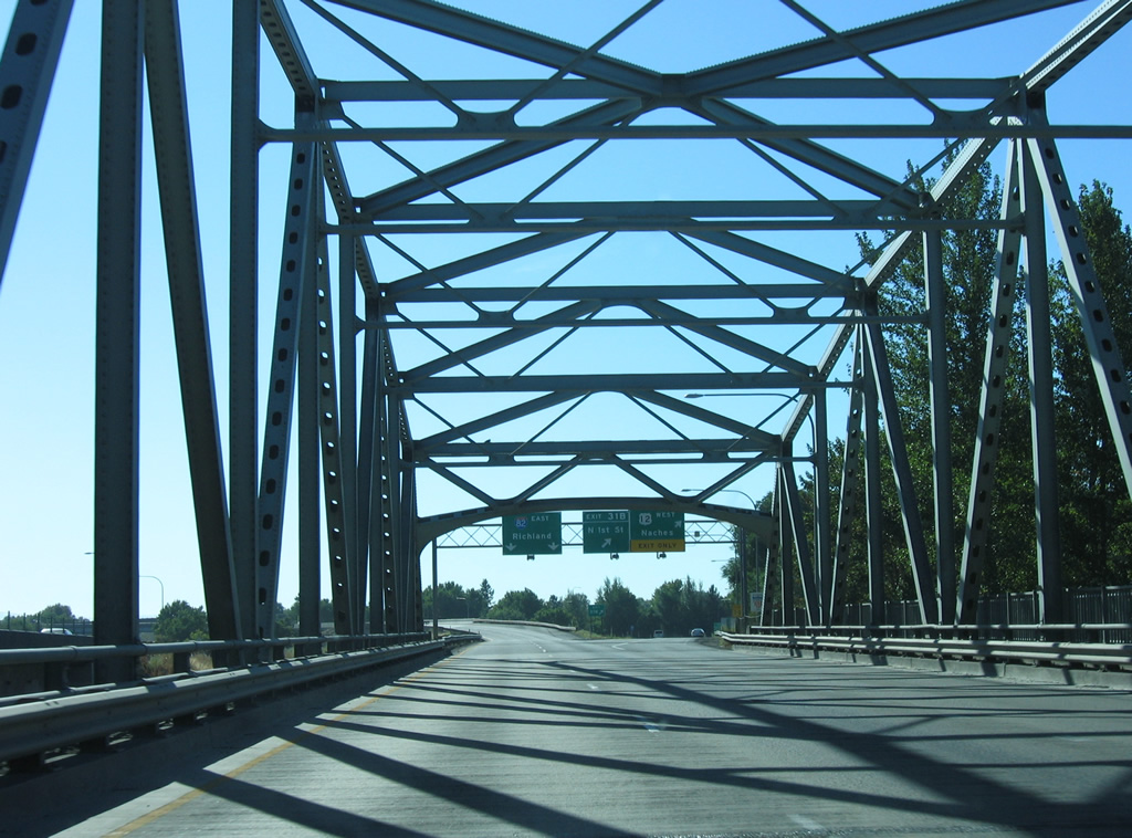
A second steel truss bridge from 1960 takes I-82/U.S. 97 across the Naches River.
08/31/06
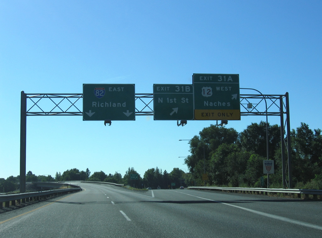
Traffic departs for U.S. 12 west and N 1st Street south from I-82/U.S. 97 at Berglund Lake. U.S. 12 heads 17 miles west through Naches to the split with SR 410. U.S. 410 followed this route until 1967, when it was replaced by extension of U.S. 12.
08/31/06
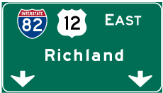

Photo Credits:
- AARoads, Chris Kalina: 08/31/06
Connect with:
Page Updated Tuesday September 20, 2011.