
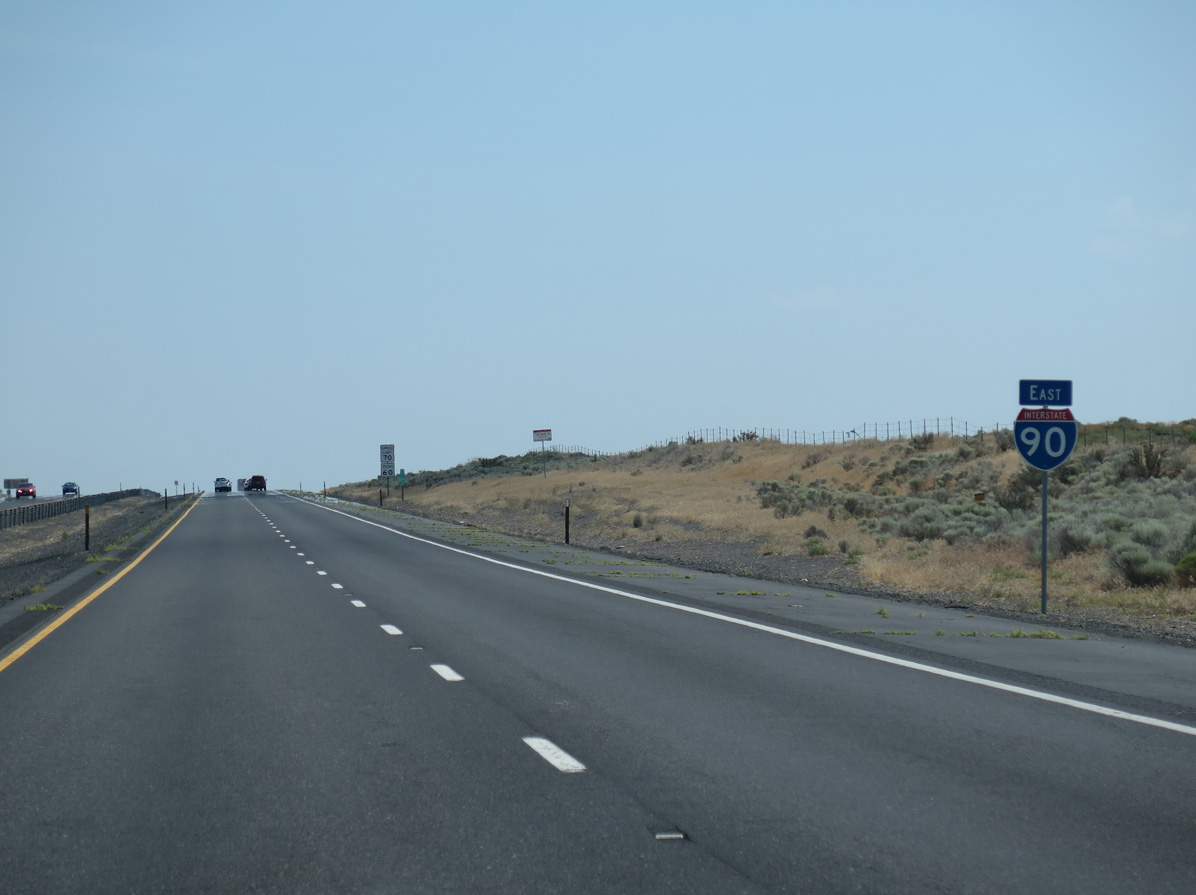
Interstate 90 East - Wanapum Lake to Moses Lake
06/28/15
06/28/15
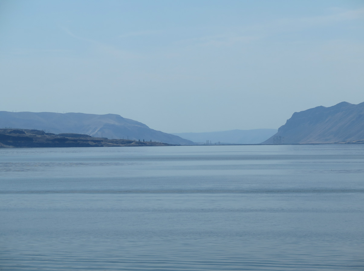
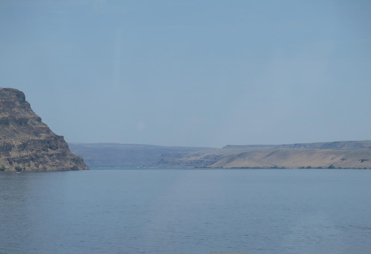
Looking south along the Columbia River toward Wanapum Dam.
06/28/15
06/28/15
06/28/15
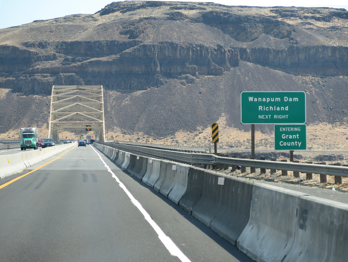
The original Vantage Bridge was located further north along the Columbia River at Rocky Coulee. A portion of the old alignment for U.S. 10 is submerged.
06/28/15
06/28/15
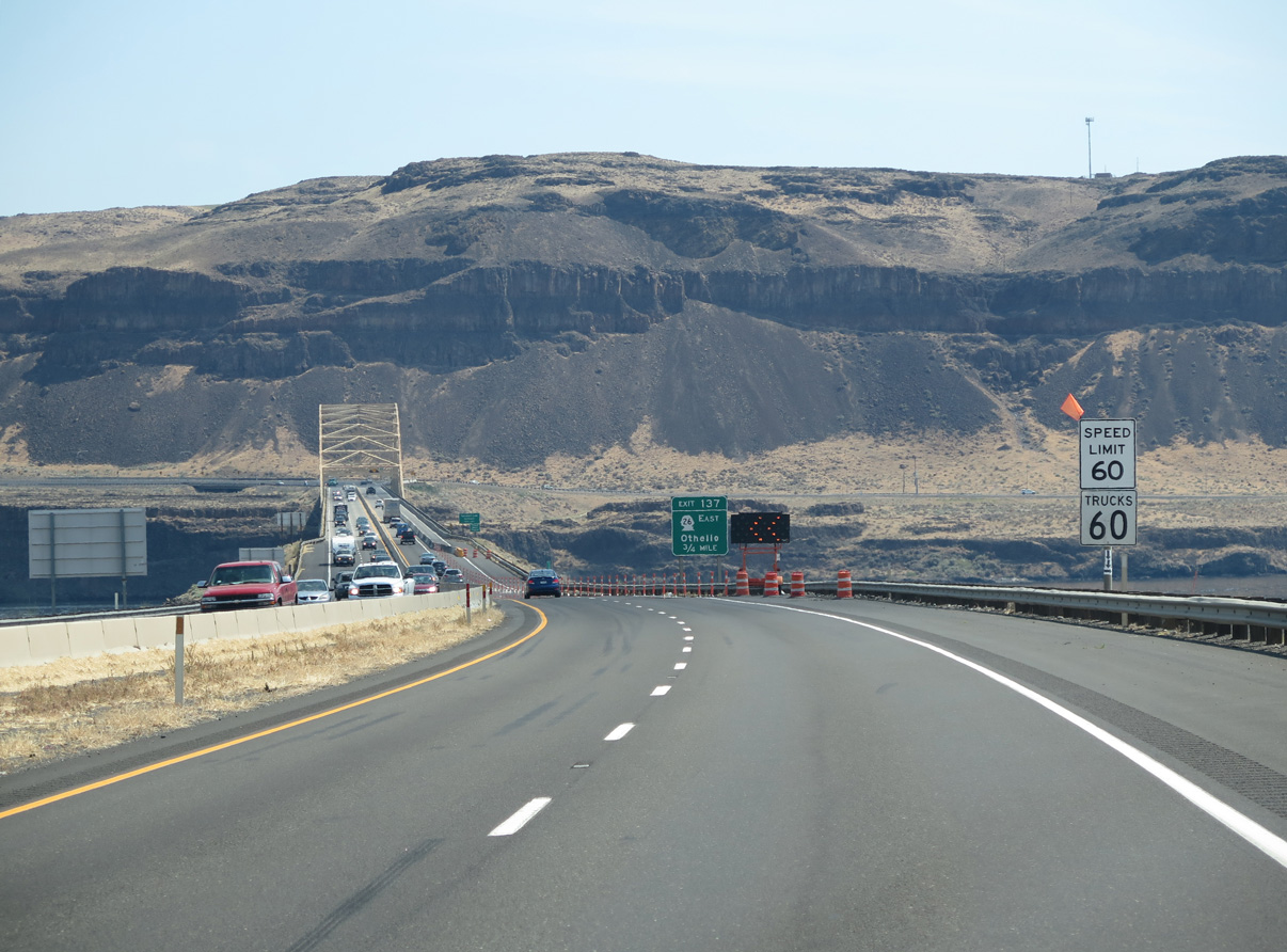
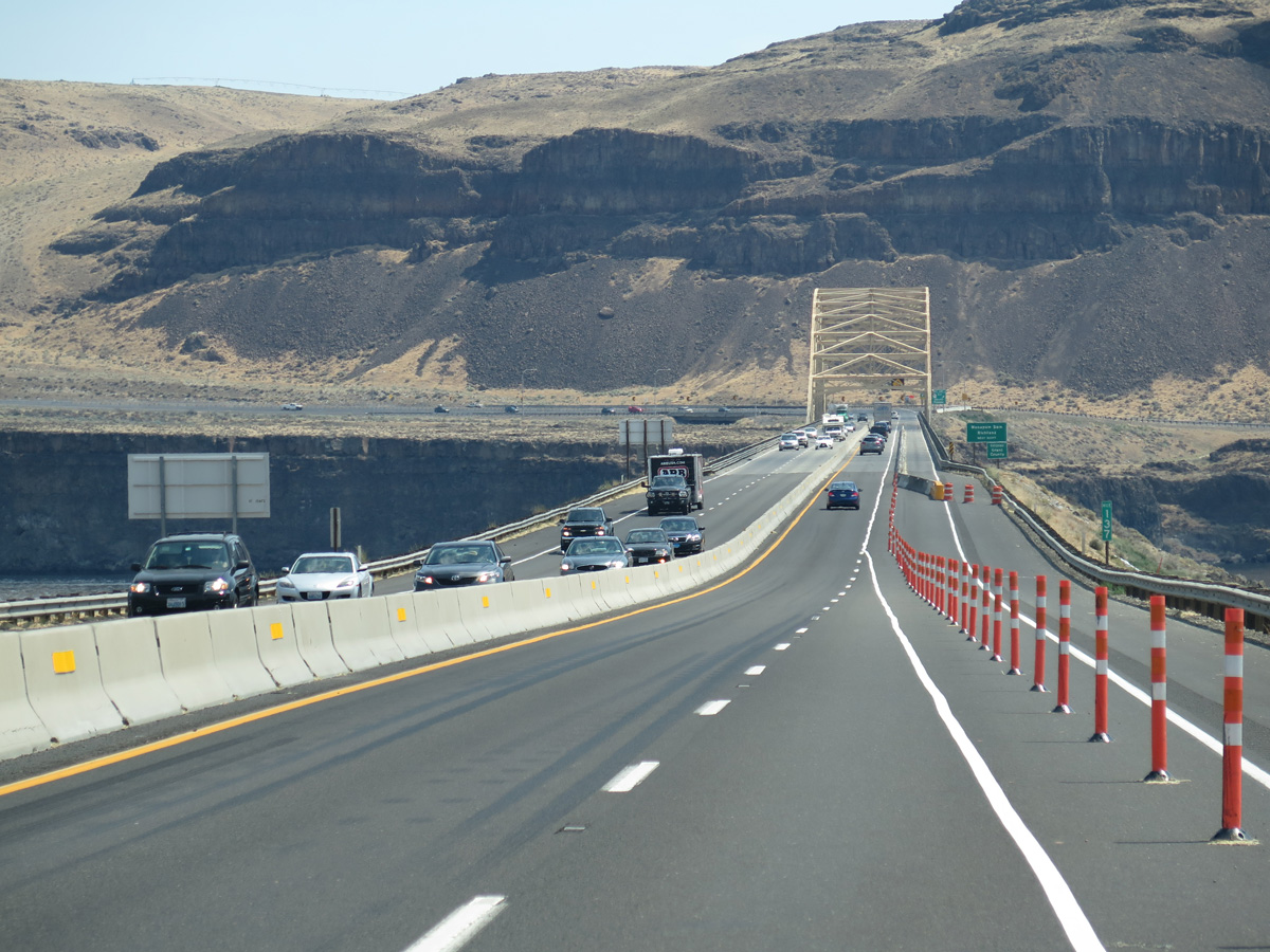
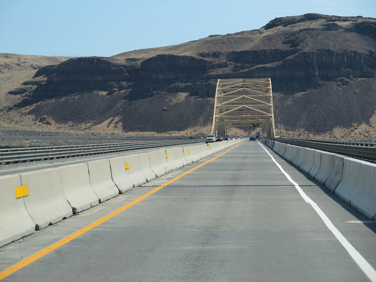
Interstate 90 east enters Grant County toward the east side of Wanapum Lake.
06/28/15
06/28/15
06/28/15
06/28/15
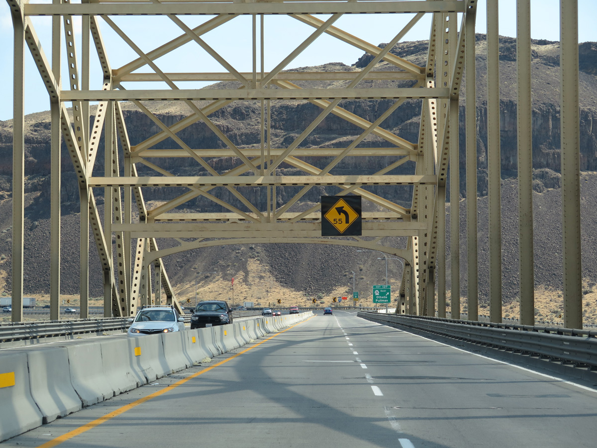
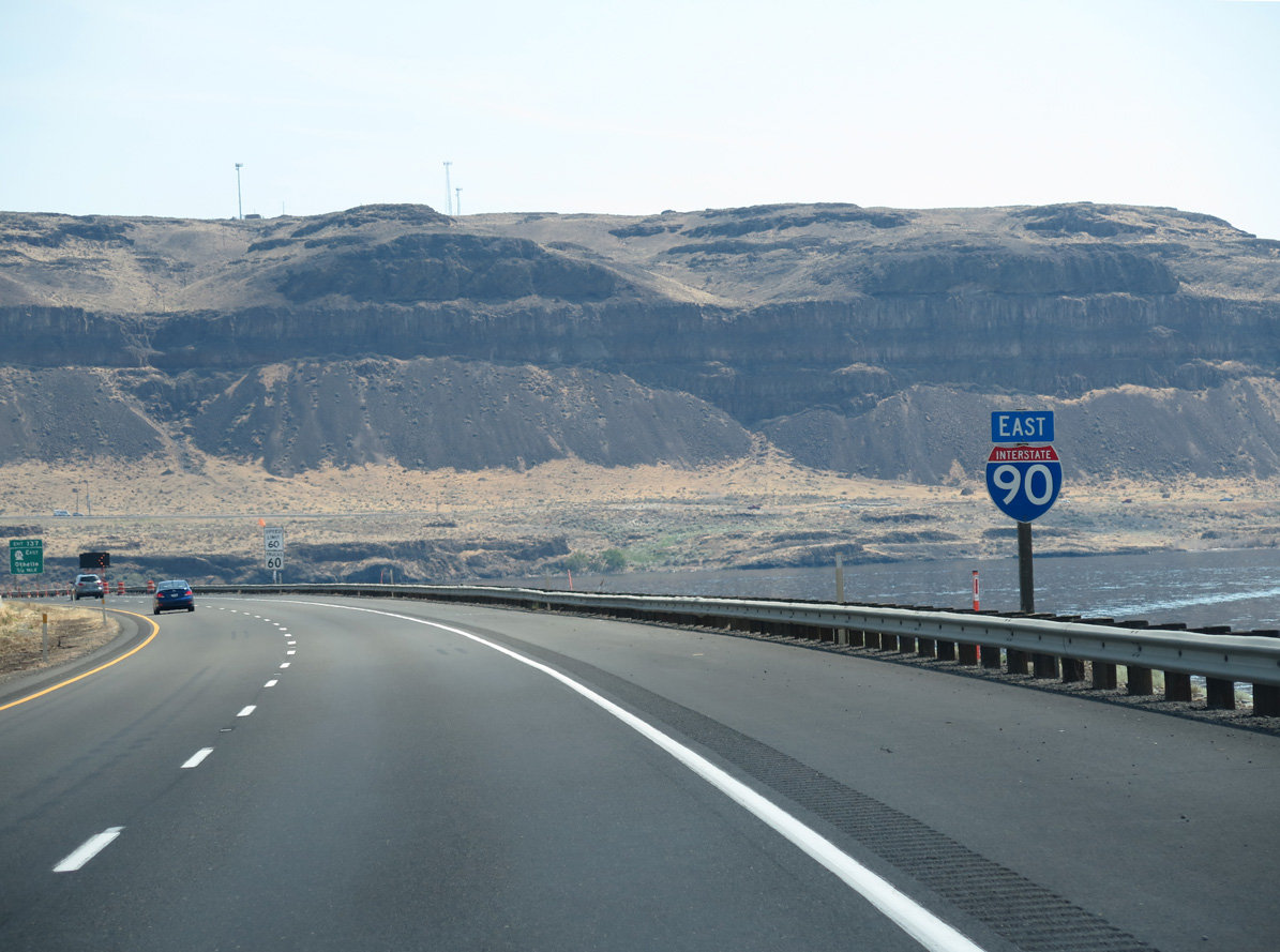
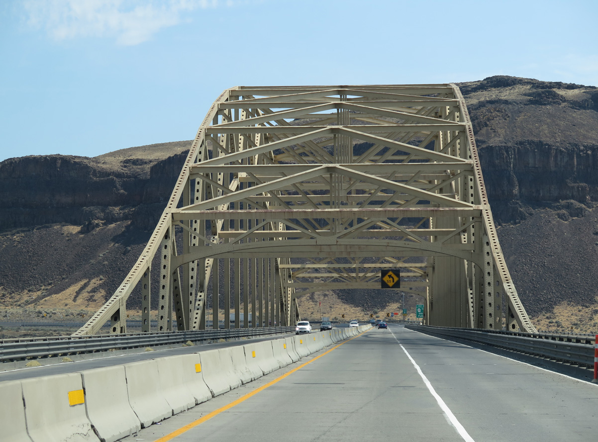
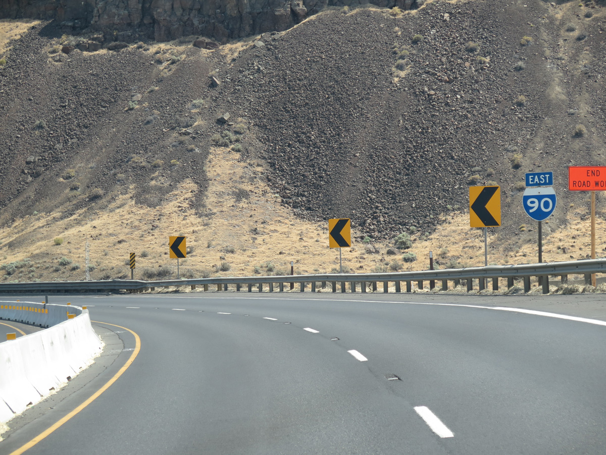
Interstate 90 turns north along the Columbia River at the trumpet interchange (Exit 137) with SR 26 east.
06/28/15
06/28/15
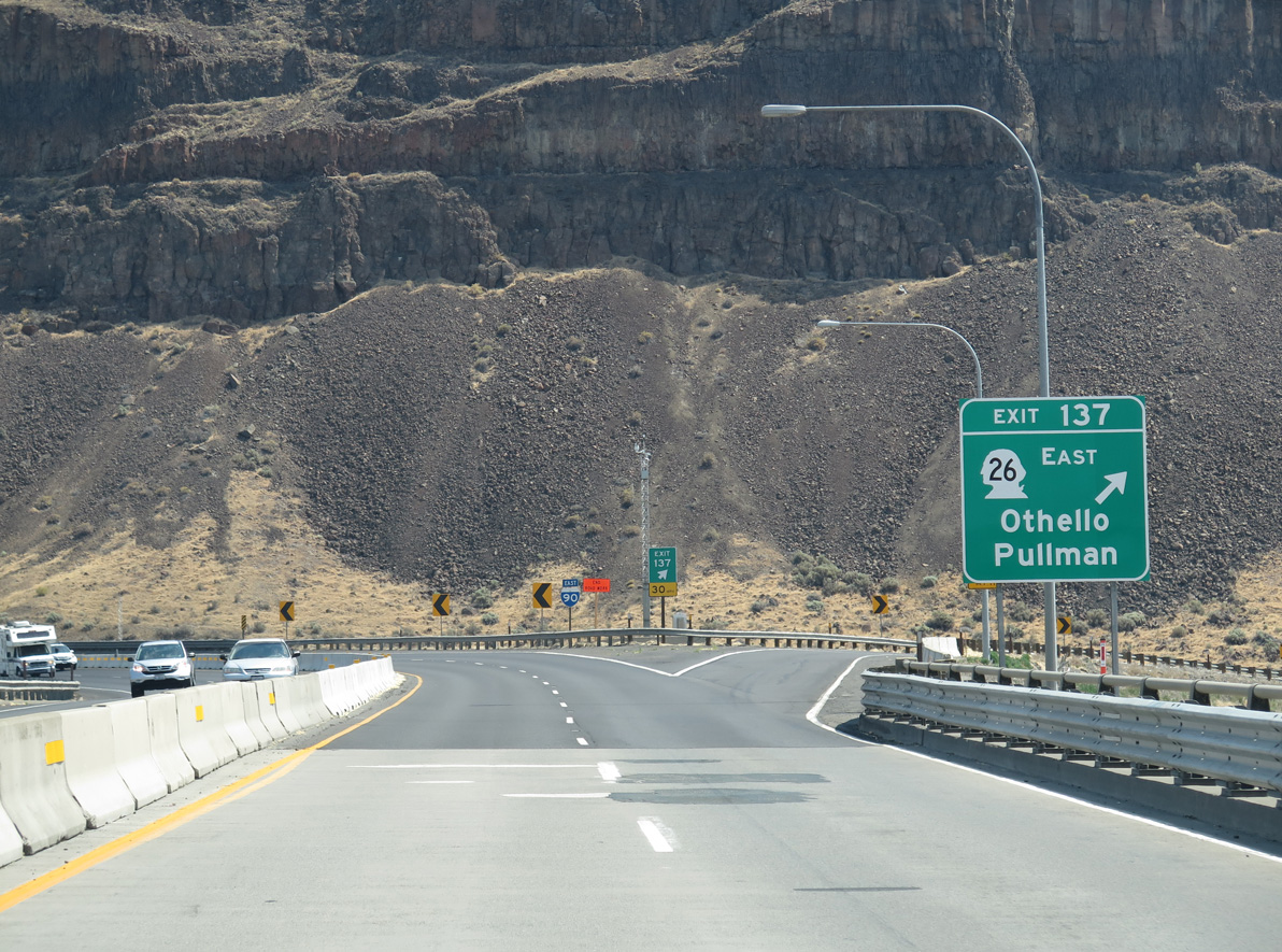
SR 26 stretches 133.53 miles east from I-90 at the Vantage Bridge to U.S. 195 at Colfax.
06/28/15
06/28/15
06/28/15
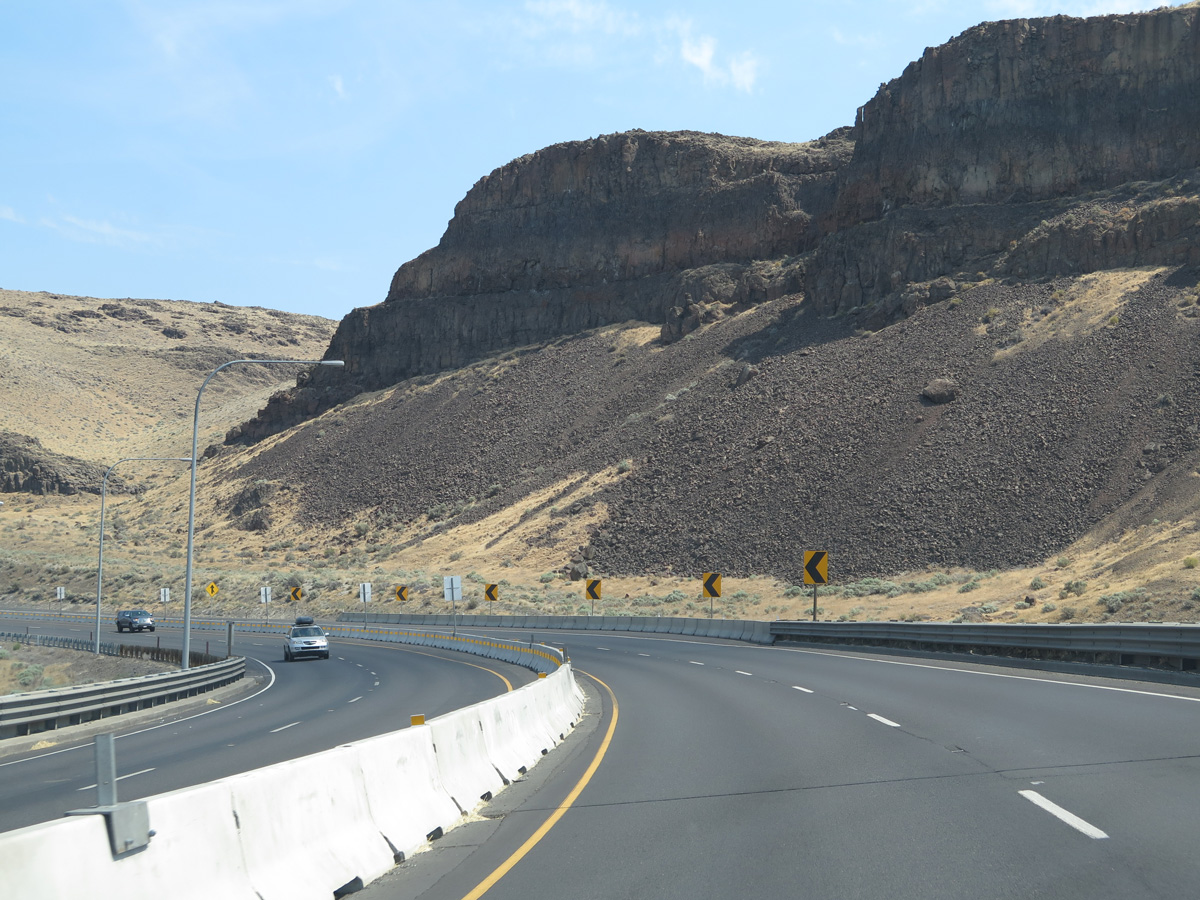
Interstate 90 advances north onto Babcock Bench overlooking the Columbia River.
06/28/15
06/28/15
06/28/15
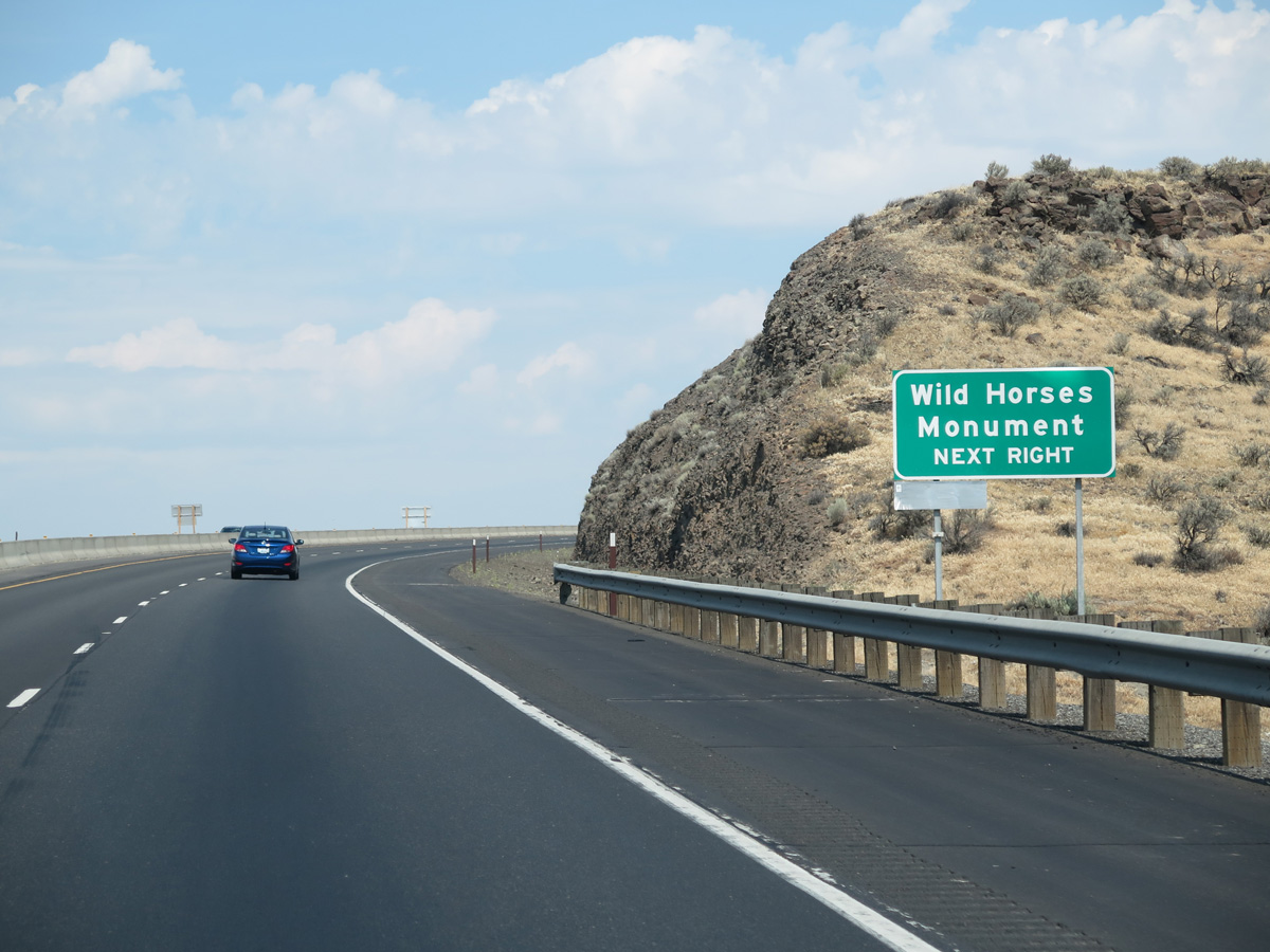
Wild Horse Monument is located at the scenic view area along Interstate 90 east for Wanapum Lake.
06/28/15
06/28/15
06/28/15
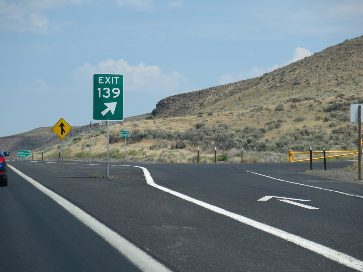
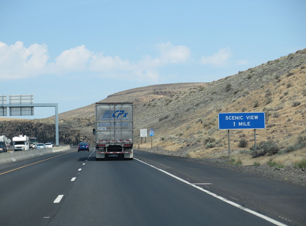
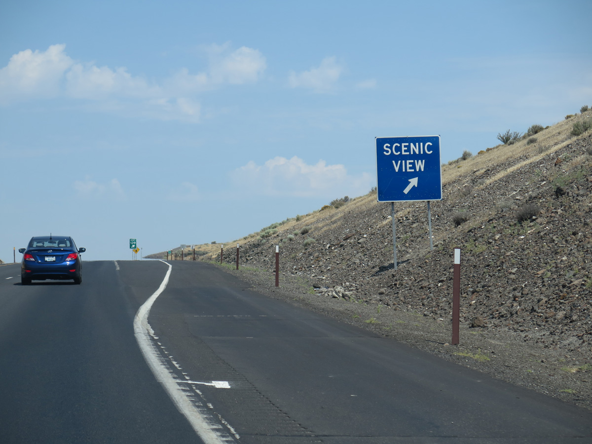
The scenic view area of the Columbia River valley is Exit 139.
06/28/15
06/28/15
06/28/15
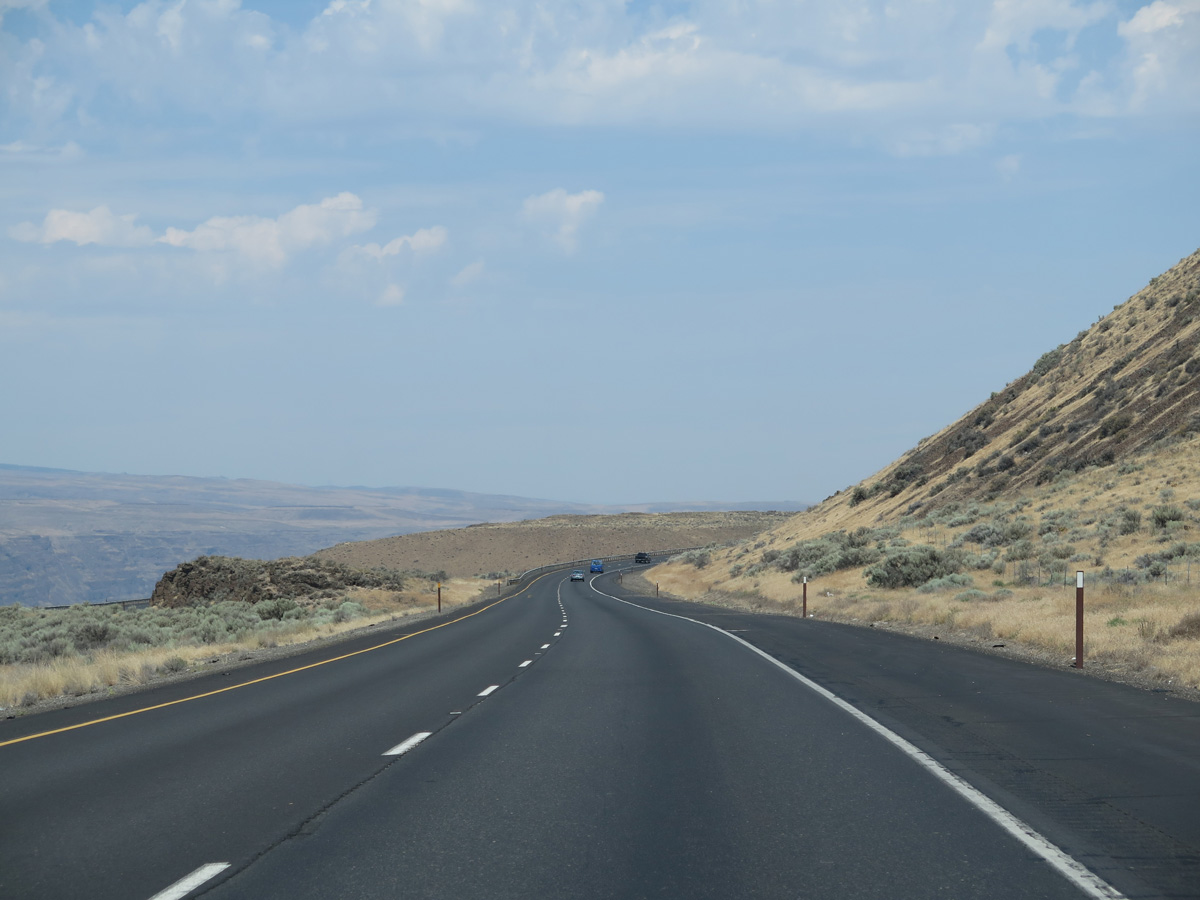
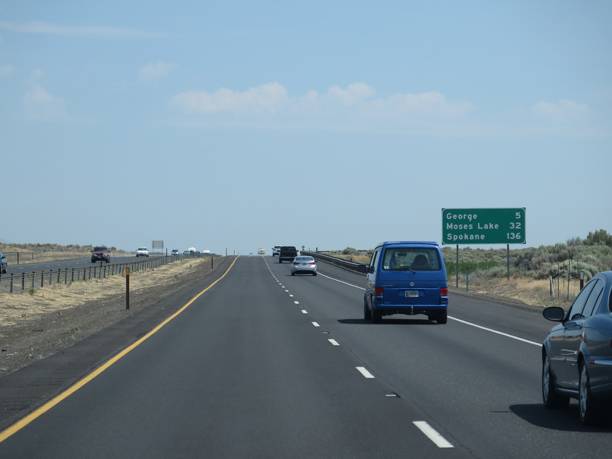
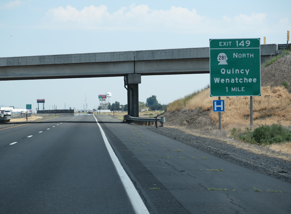
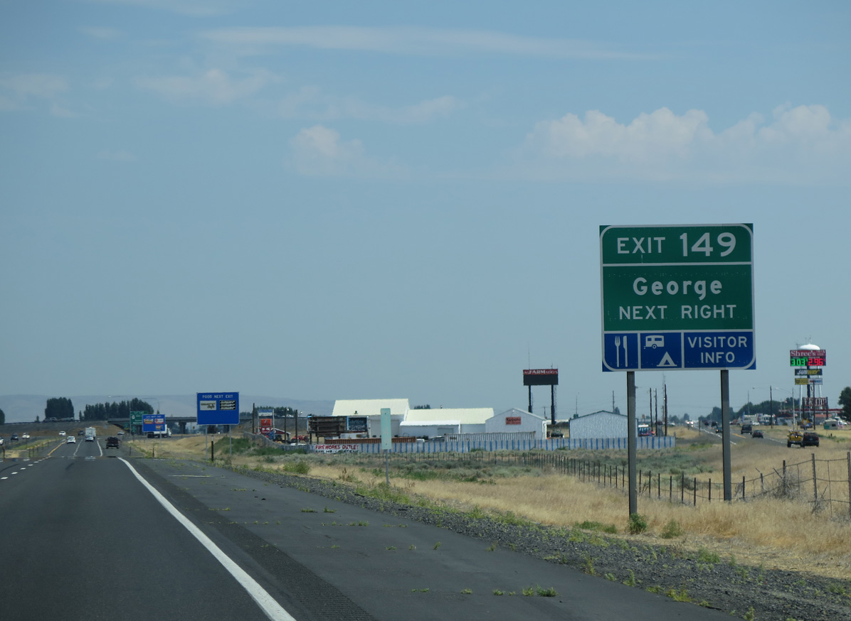
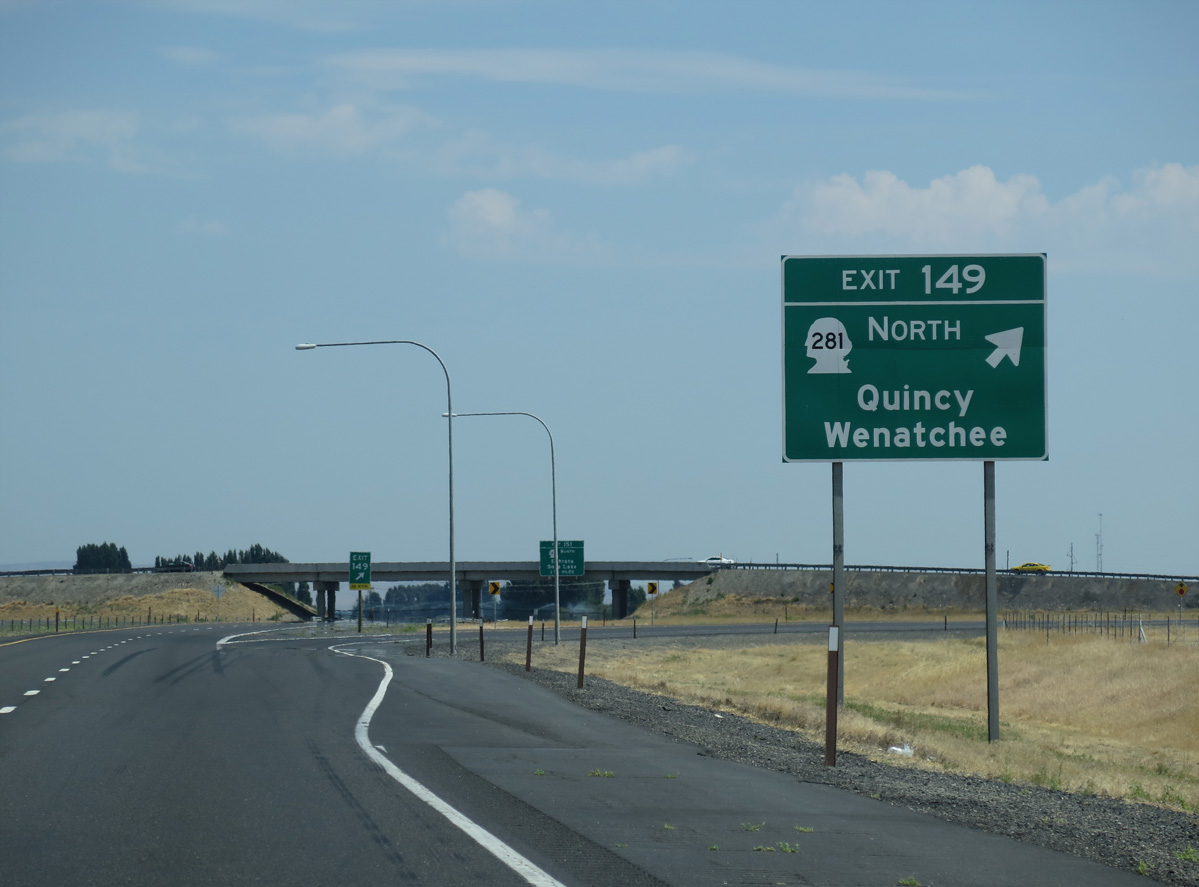
Interstate 90 encircles western reaches of the Frenchman Hills en route to George.
06/28/15
06/28/15
06/28/15
06/28/15
06/28/15
06/28/15

06/28/15
06/28/15
06/28/15
06/28/15
06/28/15
06/28/15
06/28/15
06/28/15
06/28/15
06/28/15

06/28/15
06/28/15
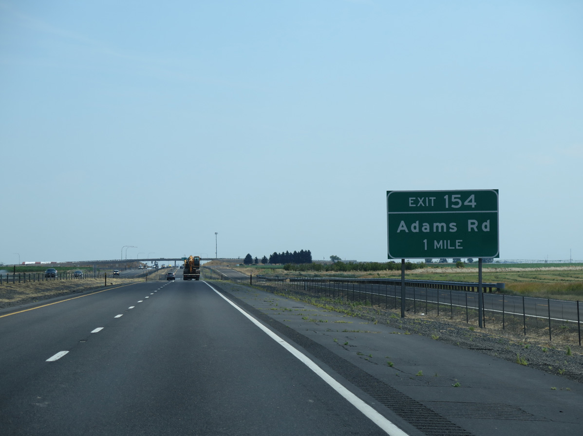
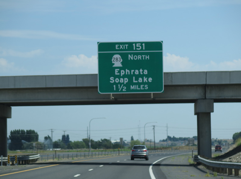
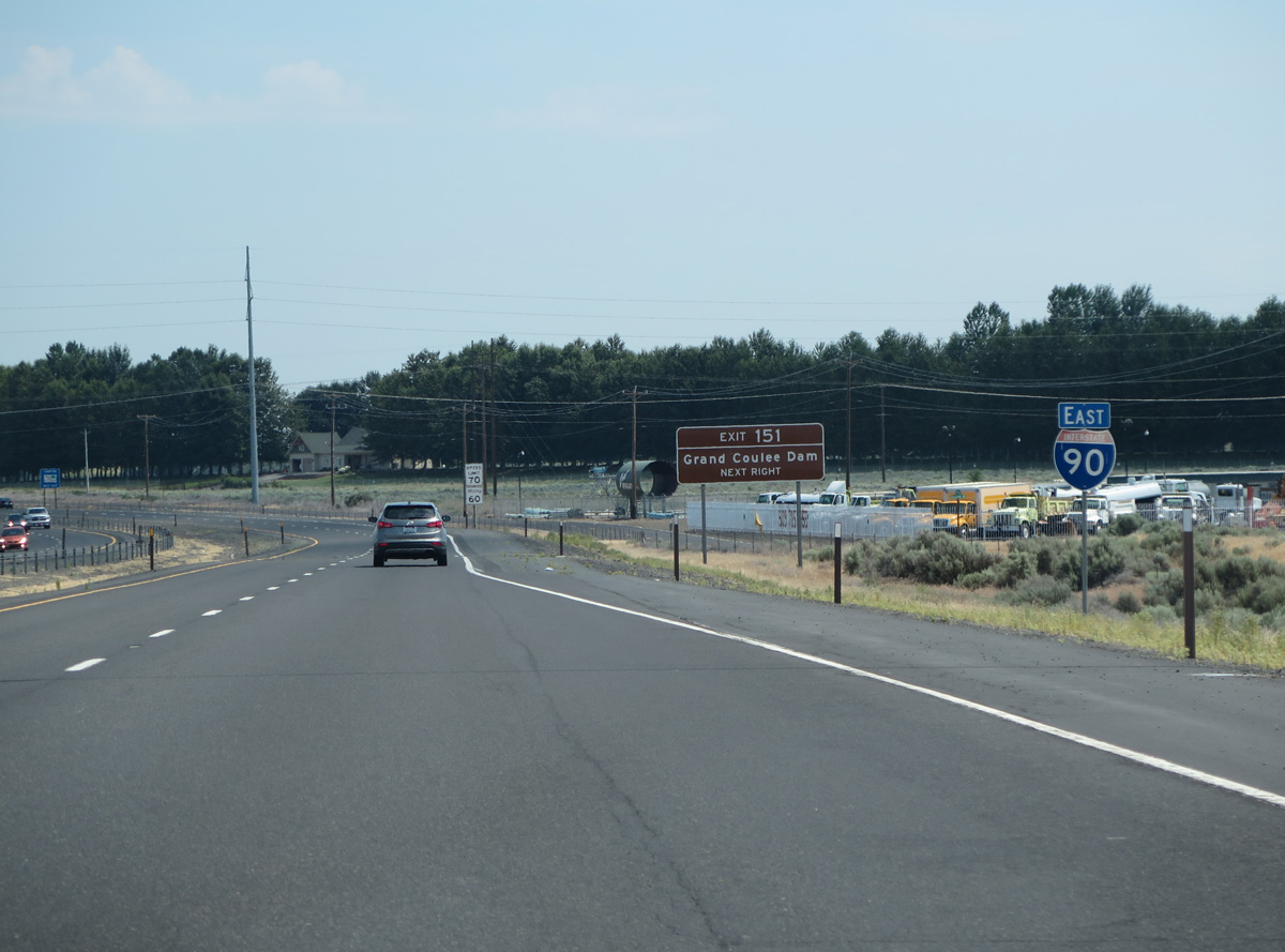
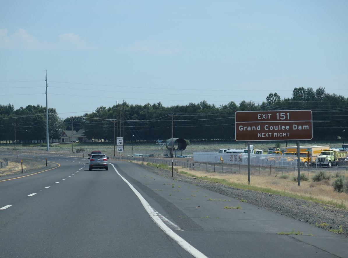
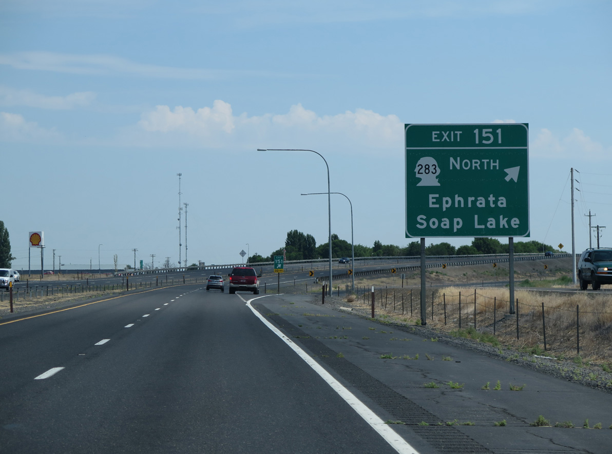
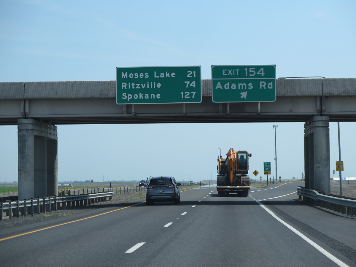
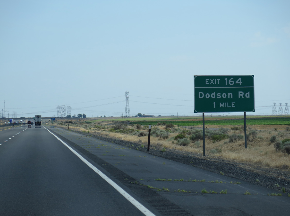
A parclo B2 interchange joins Interstate 90 with Adams Road at Exit 154.
06/28/15
06/28/15
06/28/15
06/28/15
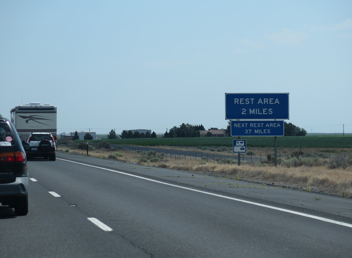
The Winchester Safety Rest Area is the third facility along Interstate 90 eastbound in Washington.
06/28/15
06/28/15
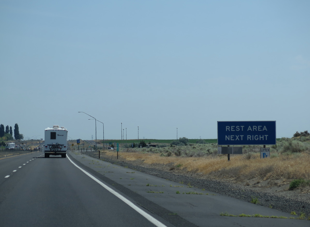
Located south of Winchester Reservoir, the Winchester Safety Rest Area lines eastbound I-90 at mile marker 161.
06/28/15
06/28/15
06/28/15
06/28/15
06/28/15
06/28/15
06/28/15
06/28/15
06/28/15
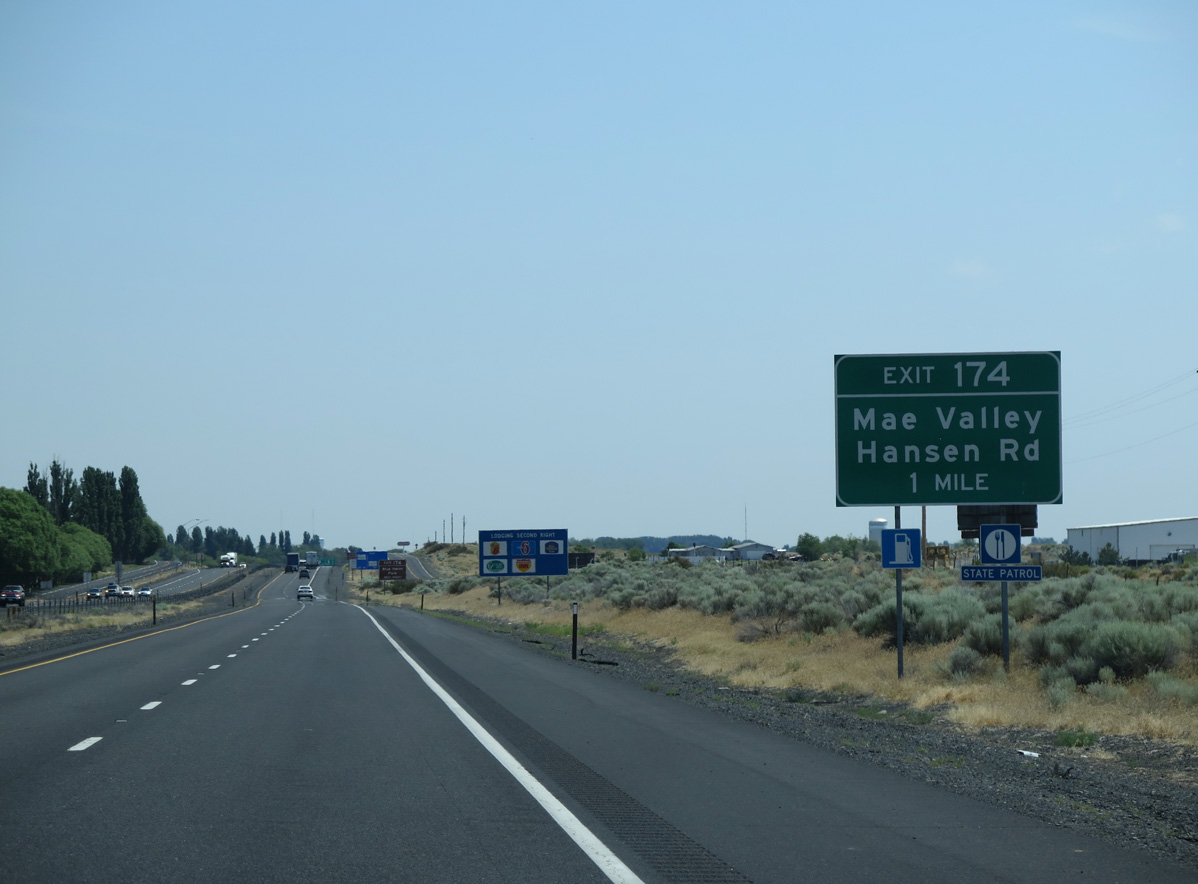
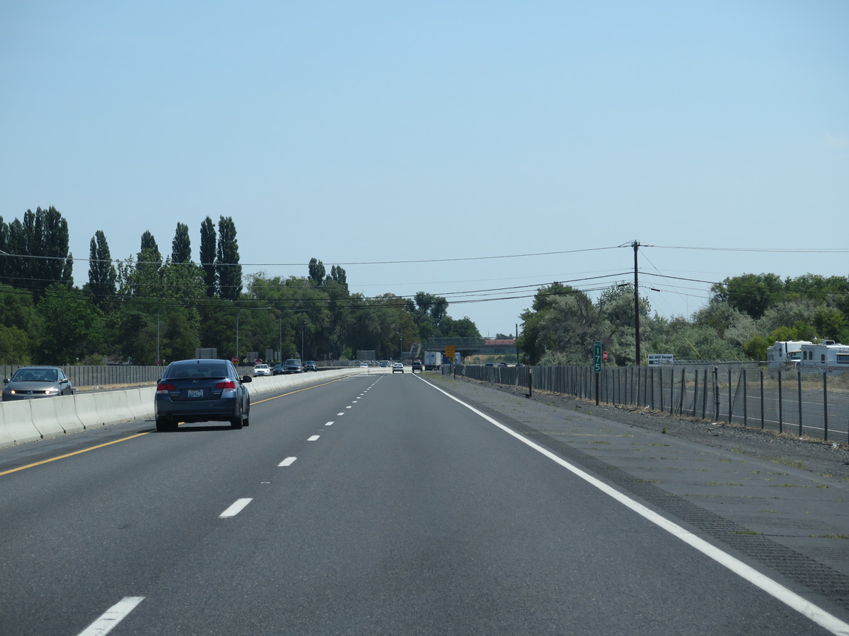
Interstate 90 enters the city of Moses Lake at forthcoming Exit 174 to Prichard Road.
06/28/15
06/28/15
06/28/15

Prichard Road connects Exit 174 with S Frontage Road NW to Hansen Road north to the community of Mae Valley.
06/28/15
06/28/15
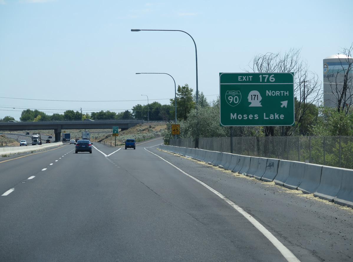
Business Loop I-90/SR 171 (Broadway Avenue) angle northeast from Exit 176 to the Moses Lake city center.
06/28/15
06/28/15
Prichard Road and Westlake Road accompany I-90 as frontage roads to Westshore Drive at Exit 175 from westbound.
06/28/15
06/28/15
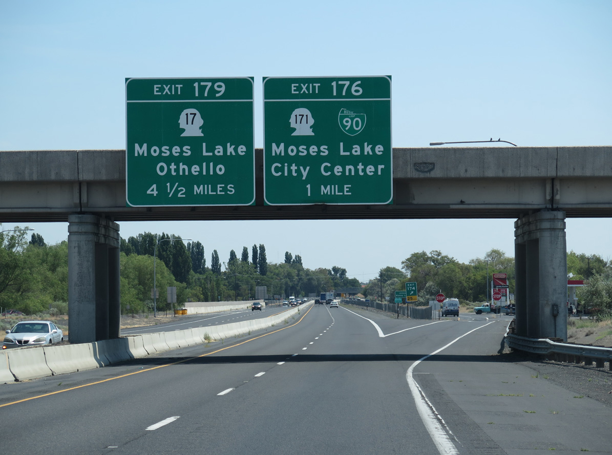
Business Loop I-90 runs 6.0 miles north along SR 171 from Exit 179 to Pioneer Way. The route returns south along Pioneer Way and on an overlap with SR 17 to Exit 179.
06/28/15
06/28/15
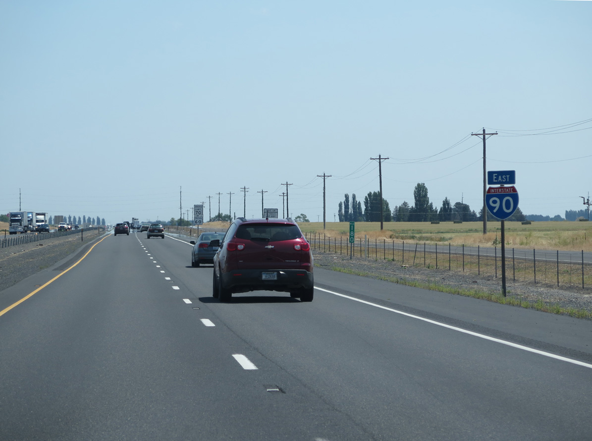
Interstate 90 crosses Pelican Horn on Moses Lake east from Exit 179.
06/28/15
06/28/15
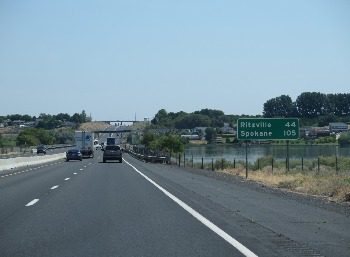
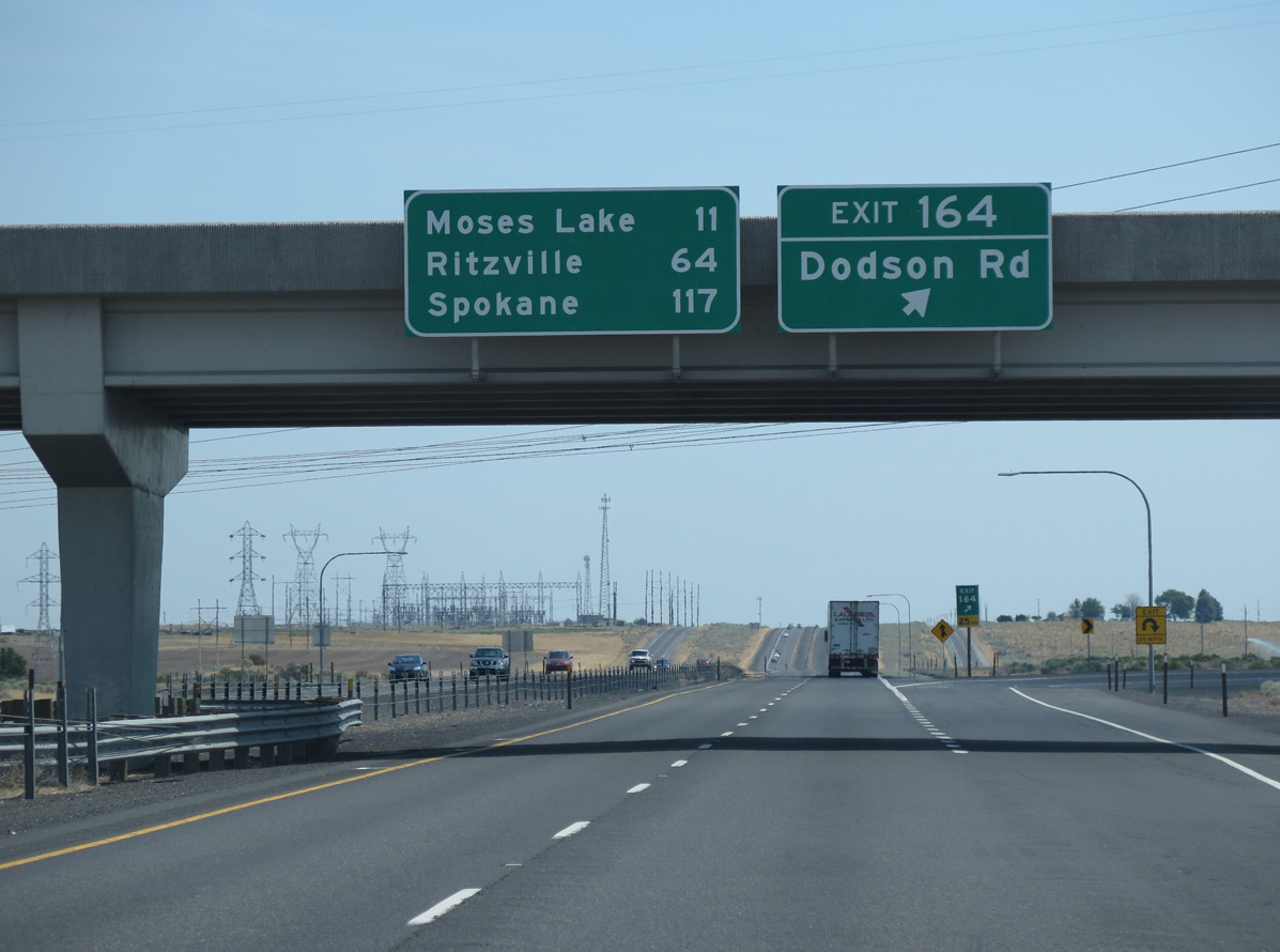
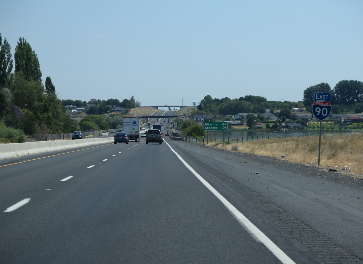
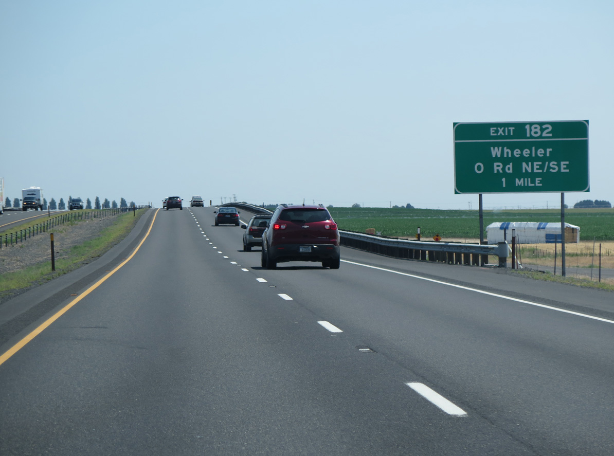
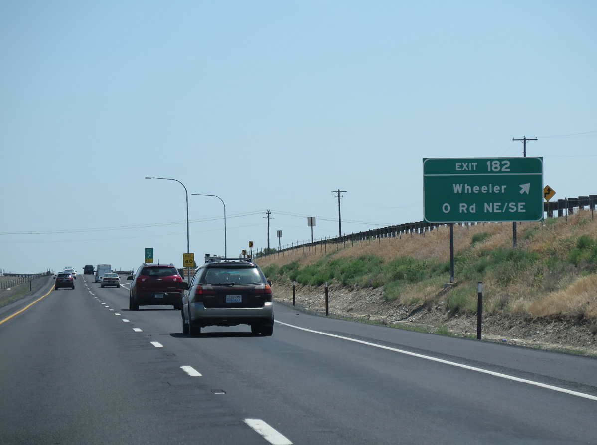
Located 44 miles to the east, the Adams County seat of Ritzville follows a rural stretch of Interstate 90 from Moses Lake.
06/28/15
06/28/15
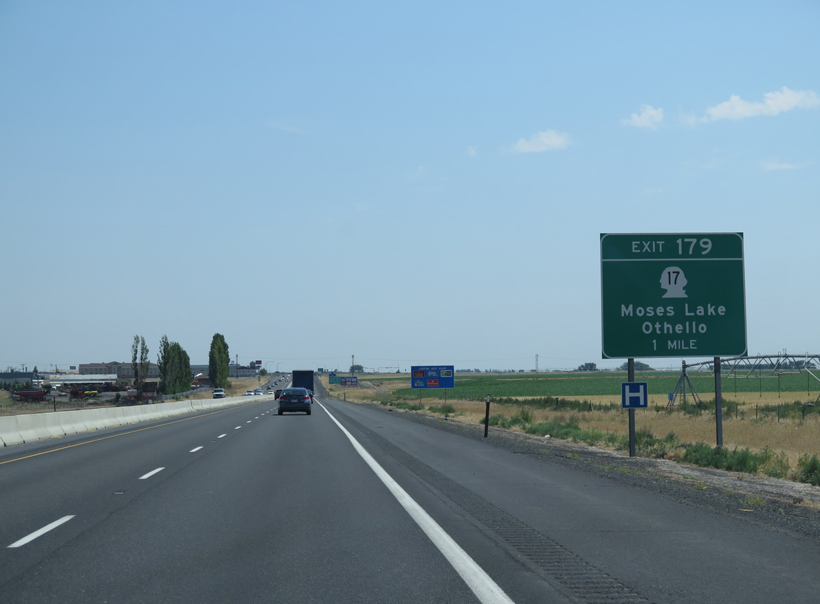
Measuring 144.29 miles in length, SR 17 travels north from Moses Lake to U.S. 97 near Brewster and south to SR 26 outside Othello and U.S. 395 in Mesa.
06/28/15
06/28/15
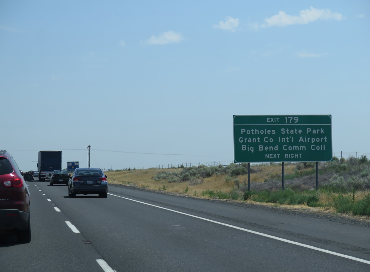
Grant County International Airport (MWH) and Big Bend Community College are located in north Moses Lake off SR 17.
06/28/15
06/28/15
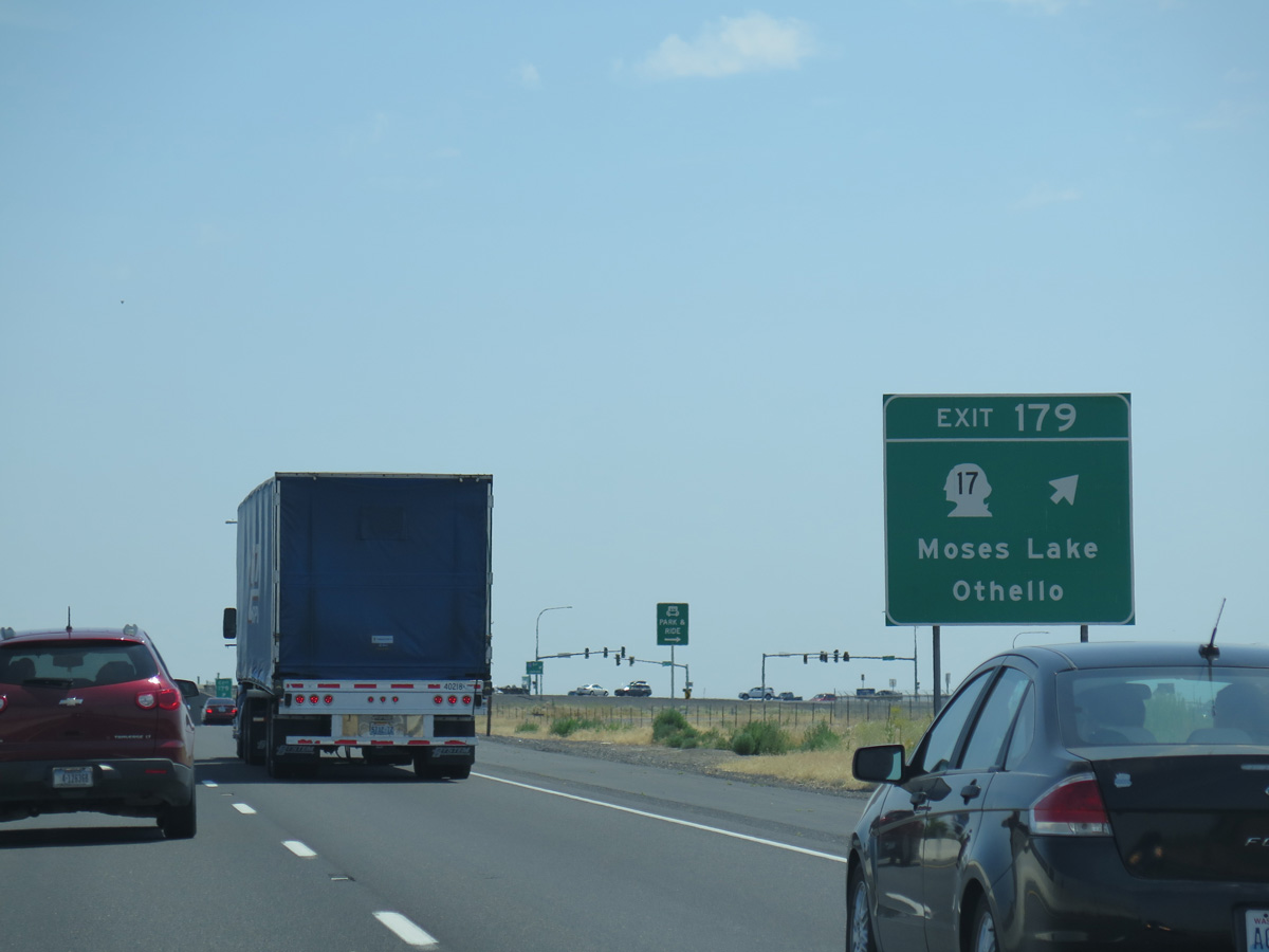
Business Loop I-90/SR 17 angle northwest from the parclo interchange at Exit 179 along a four lane commercial arterial to Pioneer Way. Business Loop I-90 on Pioneer Way leads directly north to the Moses Lake city center.
06/28/15
06/28/15
06/28/15
06/28/15
06/28/15
Photo Credits:
- Andy Field: 06/28/15
Page Updated Thursday July 13, 2023.