
Interstate 90 West - Vantage to Cle Elum
 West
West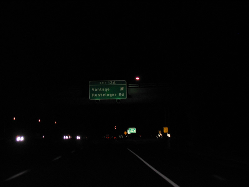
The folded diamond interchange (Exit 136) at Huntzinger Road lies west of the Columbia River. Huntzinger Road becomes Main Street north through Vantage. The road south from Interstate 90 leads to Wanapum Dam.
09/01/06
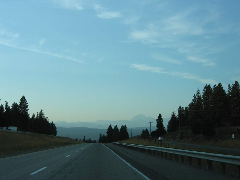
A 21 mile exit less stretch ensues along I-90 west from Vantage to Kittitas. I-82/U.S. 97 converge with the freeway five miles beyond Kittitas. Completed in Washington by November 1982, Interstate 82 is a 143.6 mile long route leading south to Yakima, the Tri-Cities and Pendleton, Oregon.
09/01/06

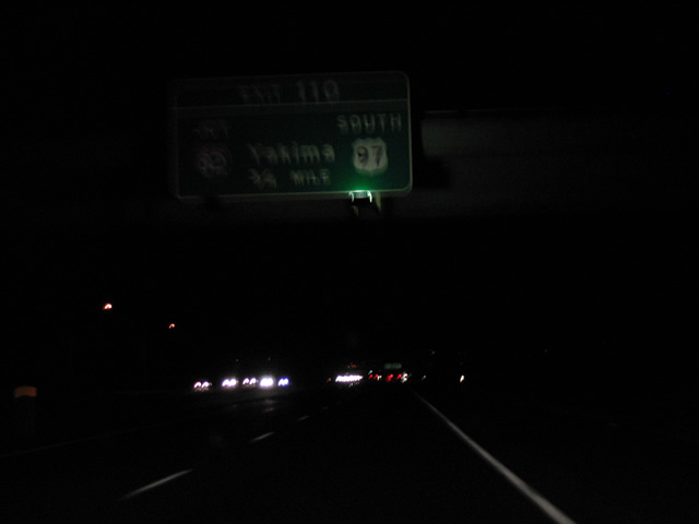
Exit 110 is a trumpet interchange joining I-90 with I-82/U.S. 97 south. I-82/U.S. 97 overlap 37 miles south to Yakima and Union Gap. I-82 continues east from U.S. 97 alongside U.S. 12 to Sunnyside and the Tri-Cities while U.S. 97 advances southwest to Toppenish, Goldendale and Biggs, Oregon.
09/01/06
West  North
North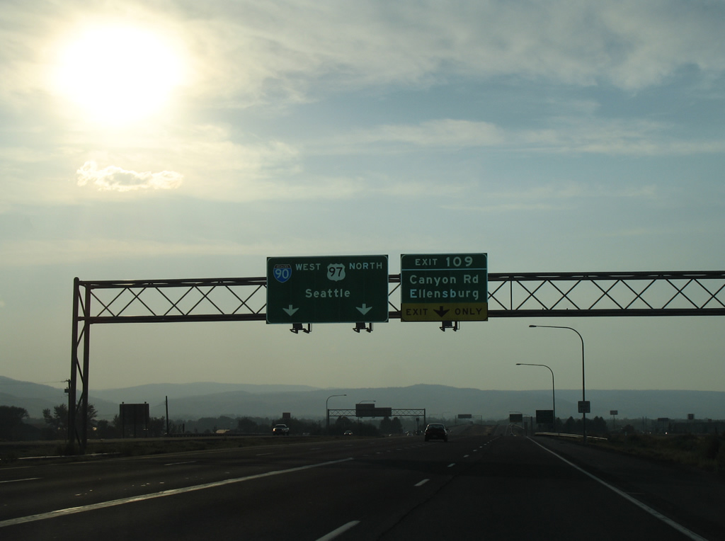
Two lanes join Interstate 90 west from I-82 west / U.S. 97 north ahead of the folded diamond interchange (Exit 109) with Canyon Road. Canyon Road represents a former Business Loop I-90 north to Main Street and the Ellensburg city center.
08/28/06
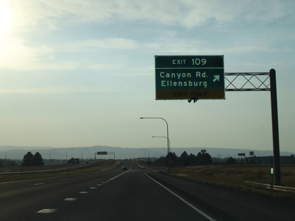
Exit 109 leaves I-90/U.S. 97 west for Canyon Road. Canyon Road is old U.S. 97 north from SR 821 at Thrall. The former alignment of U.S. 97 followed Main Street north to University Way (old U.S. 10) west through Ellensburg.
08/28/06
U.S. 97 bypasses Ellensburg to the west along Interstate 90. These confirming markers stand at the bridge over Wilson Creek.
08/28/06
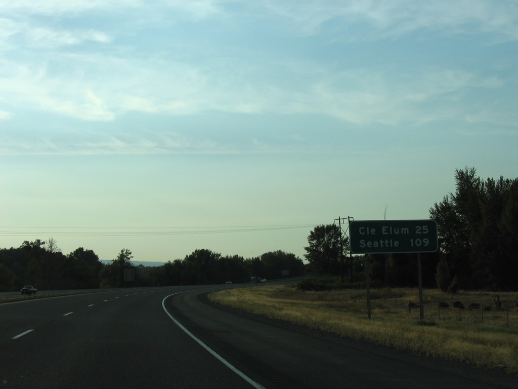
With a population of 2,114 per the 2020 census, the city of Cle Elum is the next destination along Interstate 90 west. Seattle is 109 miles away.
08/28/06
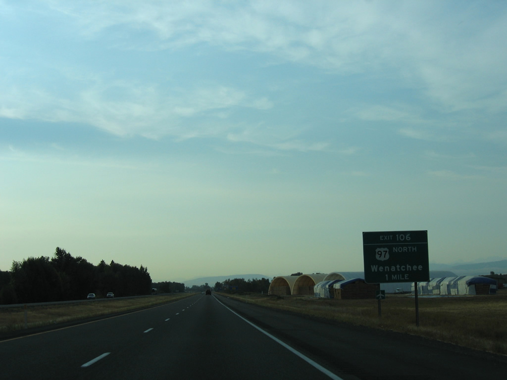
U.S. 97 overlaps with I-90 west for 3.9 miles to Exit 106, where it heads north 66 miles to Wenatchee.
08/28/06
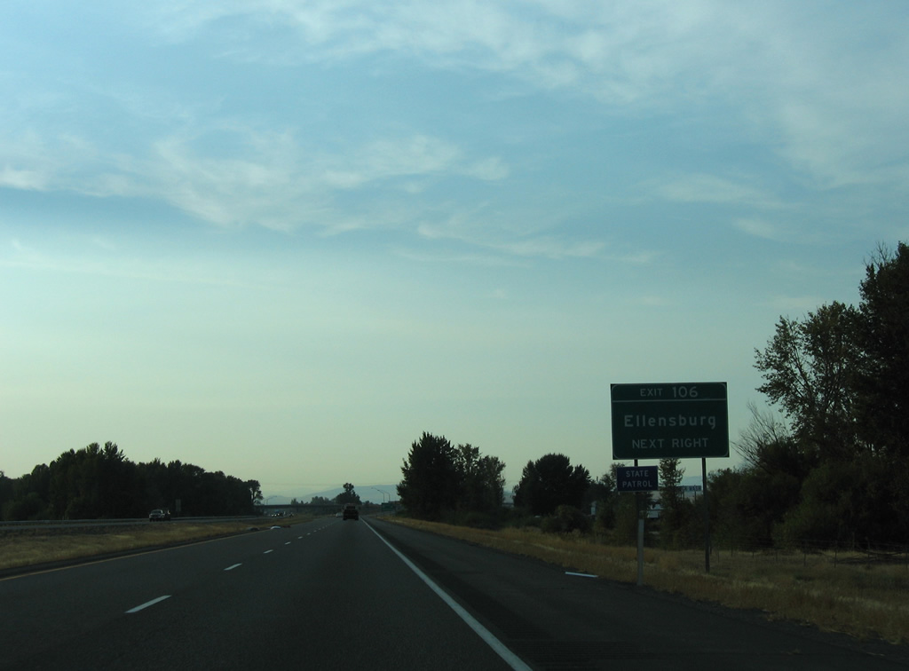
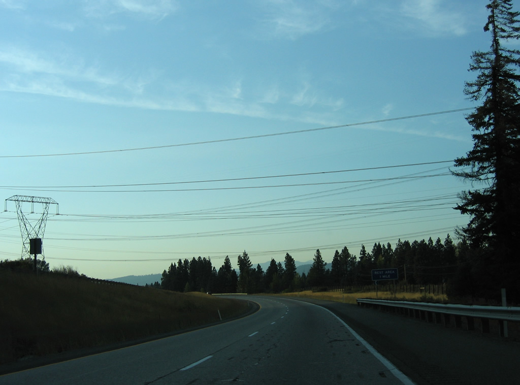
Exit 106 provides a second route into the Kittitas County seat of Ellensburg via University Way east from U.S. 97 to the city center.
08/28/06
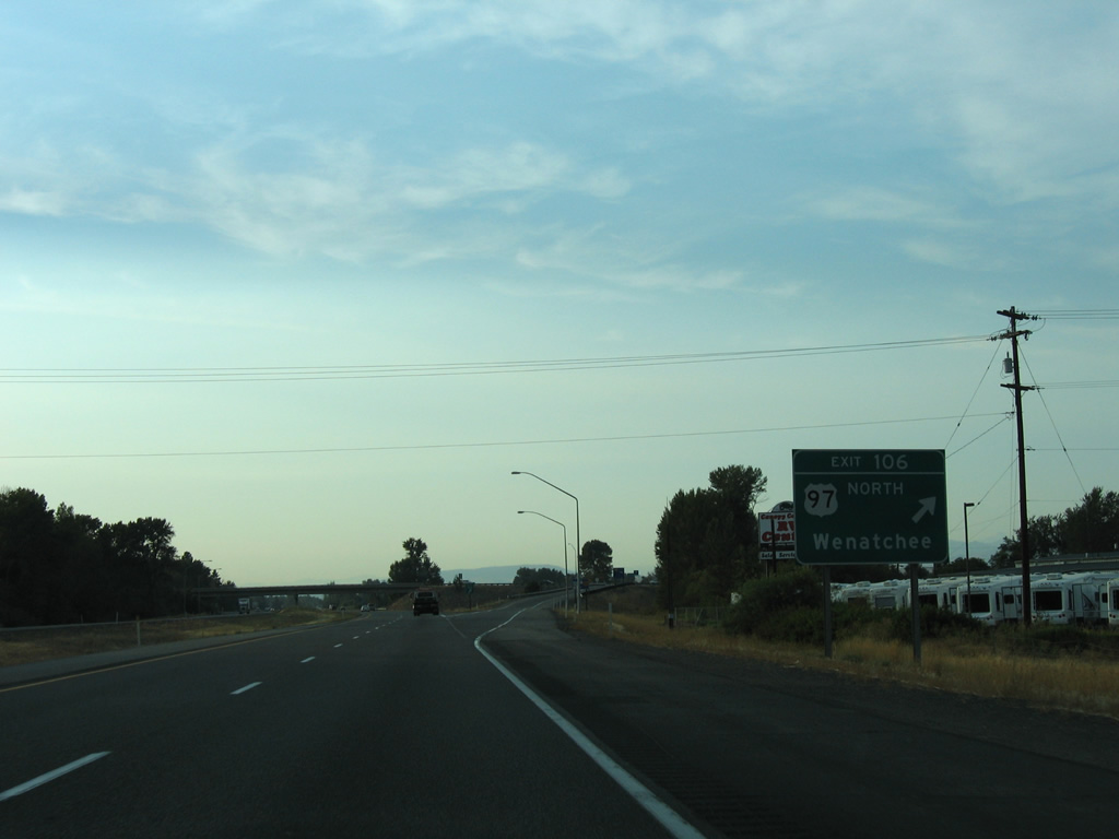
Leaving I-90 and the Kittitas Valley, U.S. 97 north reaches Virden in 16 miles. The route parallels Swauk Creek northeast from there to Blewett Pass (4,102 feet) over the Wenatchee Mountains. North from Wenatchee, U.S. 97 proceeds to Okanogan and the Canadian border beyond Oroville.
08/28/06
West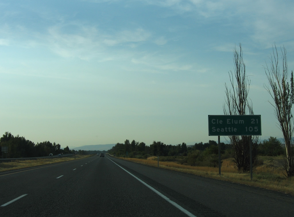
Interstate 90 parallels the Yakima River through northern reaches of Kittitas Valley on the 21 miles to Cle Elum. Seattle is less than two hours away depending upon conditions at Snoqualmie Pass.
08/28/06
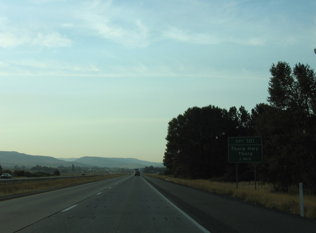
Thorp Highway leads northwest and parallels the Yakima River from U.S. 97 at Exit 106 before turning north across Interstate 90 at Exit 101.
08/28/06
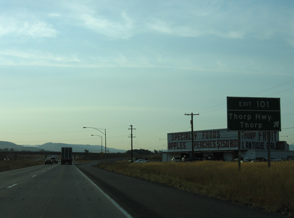
North from the diamond interchange at Exit 101, Thorp Highway passes through the community of Thorp before rejoining the Yakima River to SR 10 (old U.S. 10).
08/28/06

Westbound reassurance shield posted ahead of the bridge over West Side Canal.
08/28/06

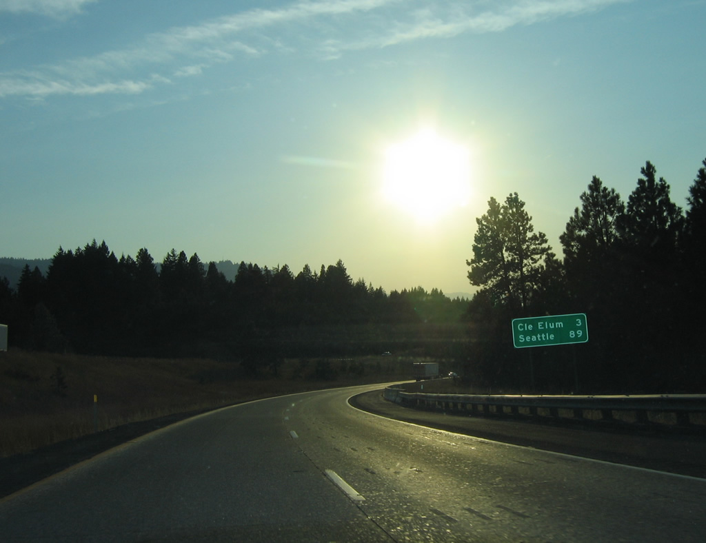
Seattle is 100 miles away as Interstate 90 continues to within 15 miles of Cle Elum.
08/28/06
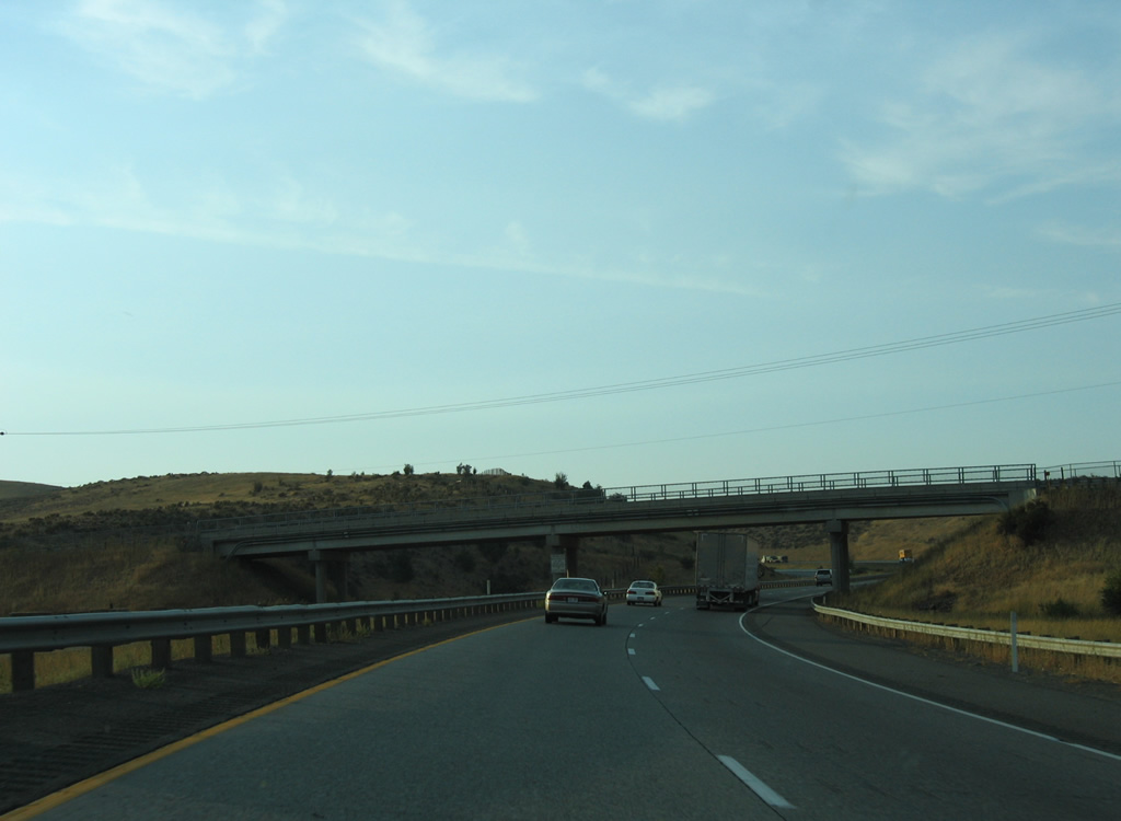
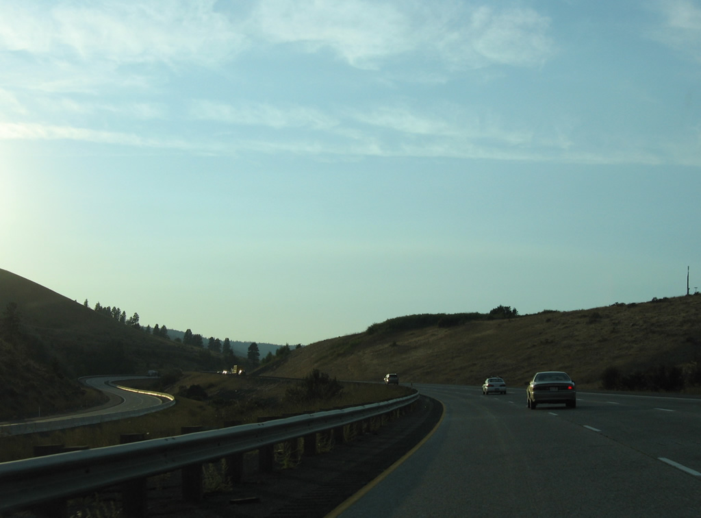
Interstate 90 gains elevation west from Kittitas Valley through Taneum Canyon and Thorp Prairie.
08/28/06
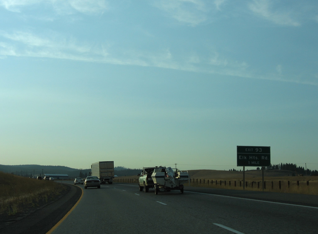
Elk Heights Road meets Interstate 90 west at a diamond interchange (Exit 93) in one mile.
08/28/06
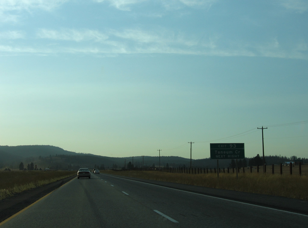
Thorp Prairie Road leads south from Elk Heights Road near Exit 93 to Taneum Creek. Taneum Creek flows east into the Yakima River from Taneum Ridge in Wenatchee National Forest.
08/28/06
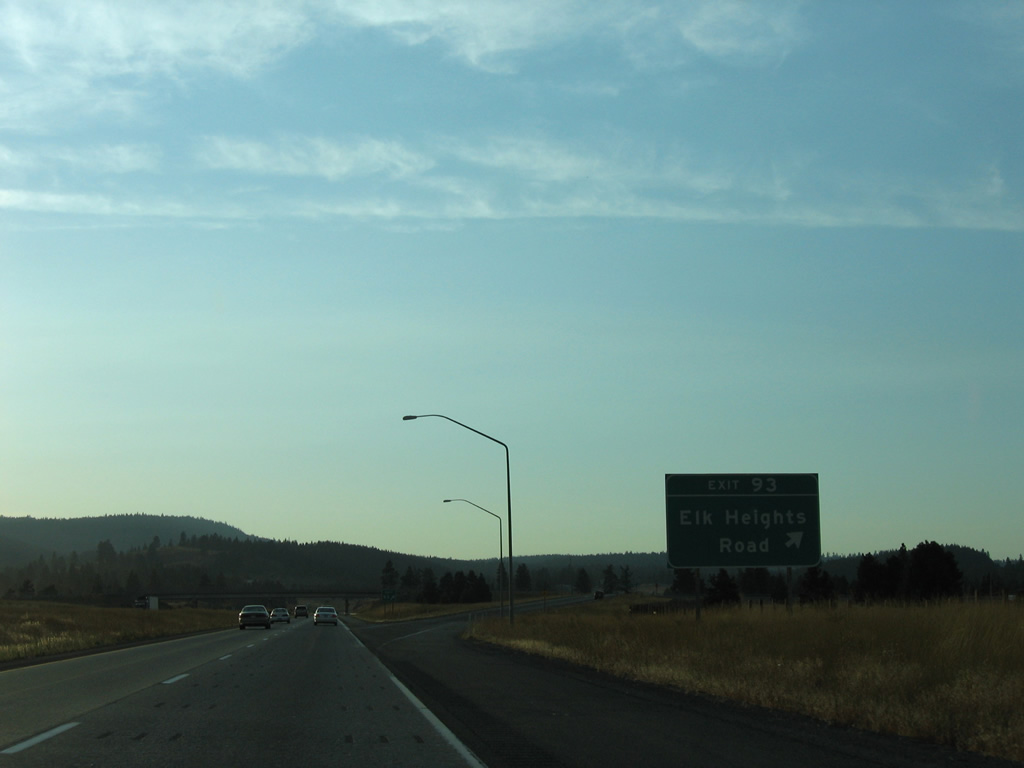
Exit 93 departs Interstate 90 west for Elk Heights Road. The exit serves a handful of residences nearby and Thorp Prairie Road north, which parallels I-90 to Upper Peoh Point Road for South Cle Elum.
08/28/06
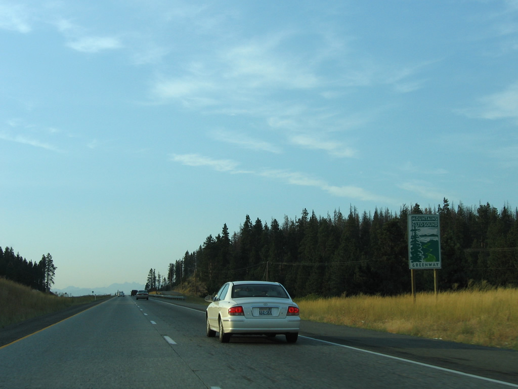
The Mountains to Sound Greenway encompasses 1.5 million acres of forest land and mountains surrounding Interstate 90 on the route to Seattle. The greenway initiative protects lands on the Cascade Mountains east of the Emerald City from development while showcasing parks and public forests.1
08/28/06
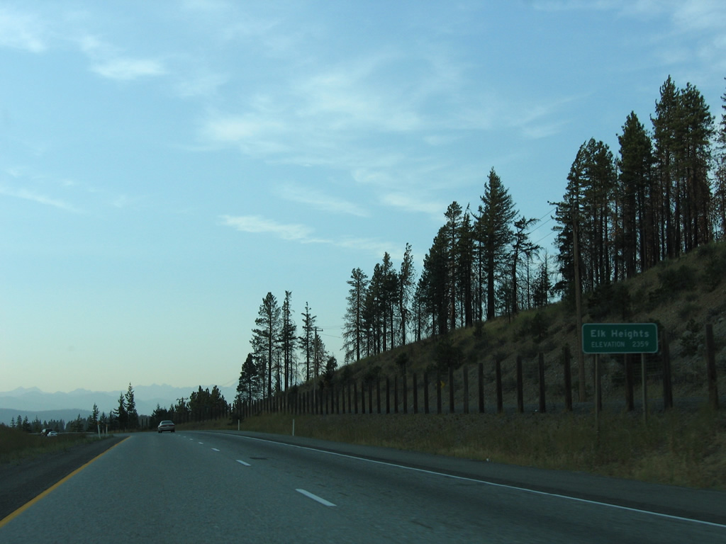
Interstate 90 climbs to an elevation of 2,359 feet above sea level at Elk Heights.
08/28/06
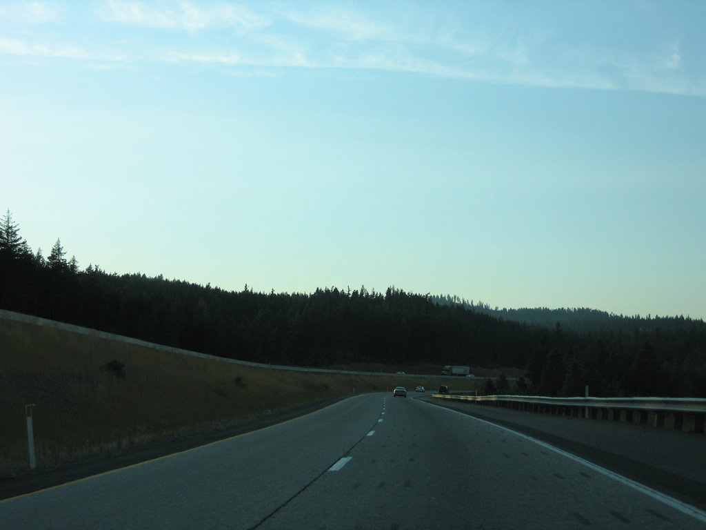
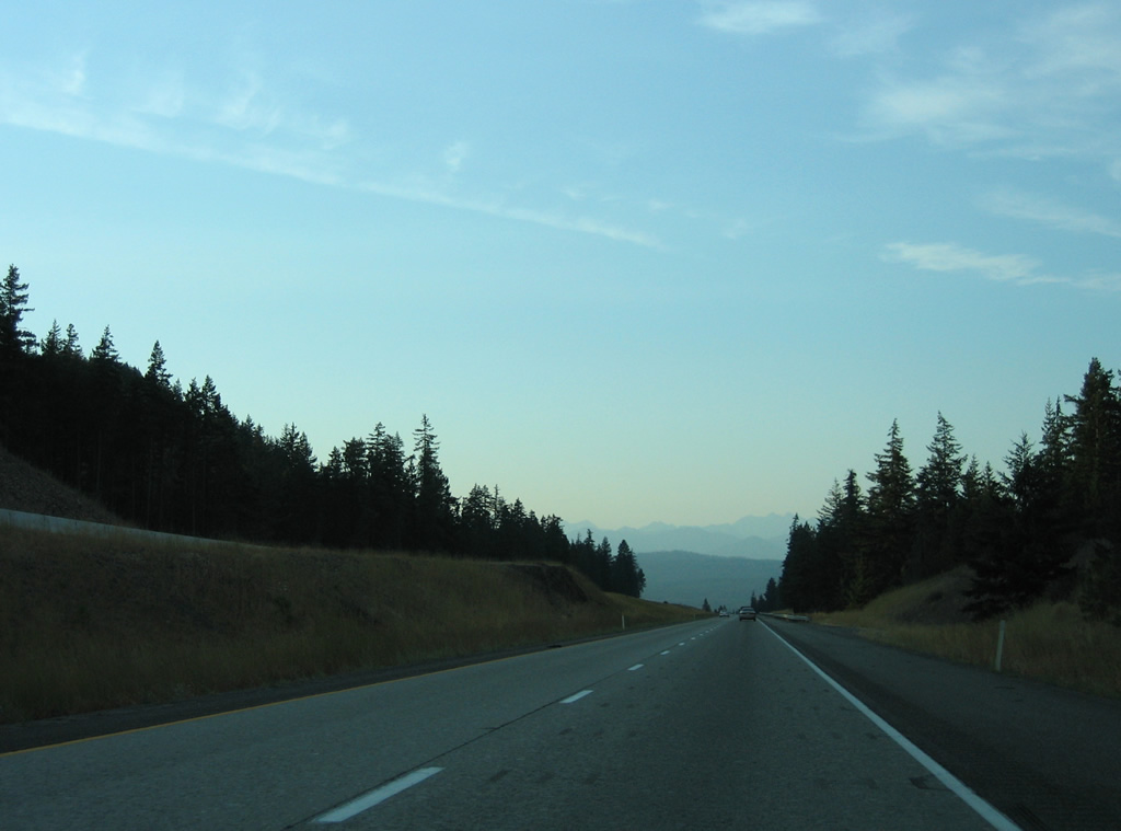
Interstate 90 curves northward through Horseshoe Canyon.
08/28/06
Thorp Prairie Road appears alongside Interstate 90 while the Wenatchee Mountains rise along the northern horizon.
08/28/06

Spanning Main Canal, Interstate 90 curves back to the west while a set of transmission lines pass overhead.
08/28/06
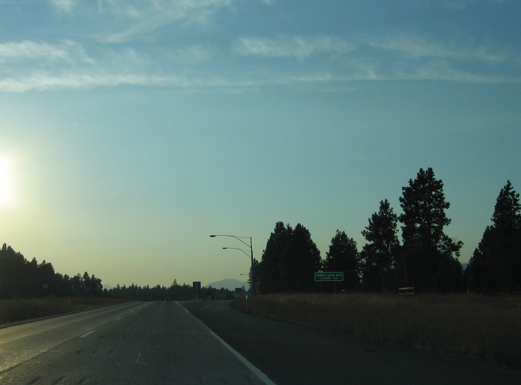
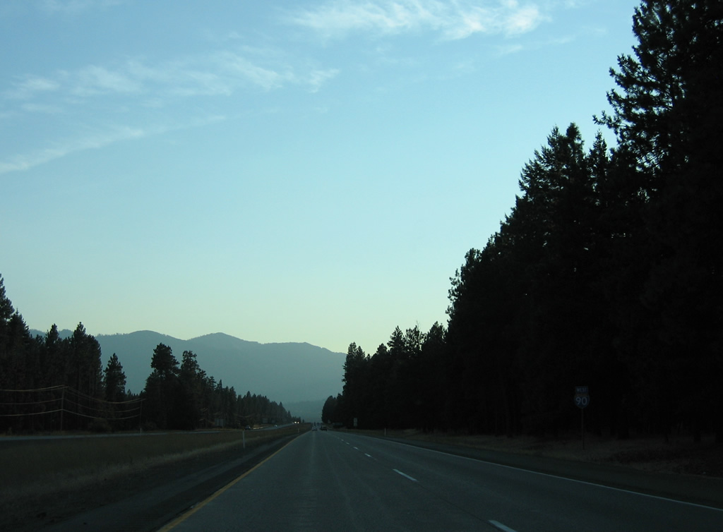
The final westbound rest area along Interstate 90 is located at Indian John Hill (elevation 2,141 feet).
08/28/06
Leaving the rest area, I-90 advances three miles to Cle Elum and 89 miles to Seattle.
08/28/06
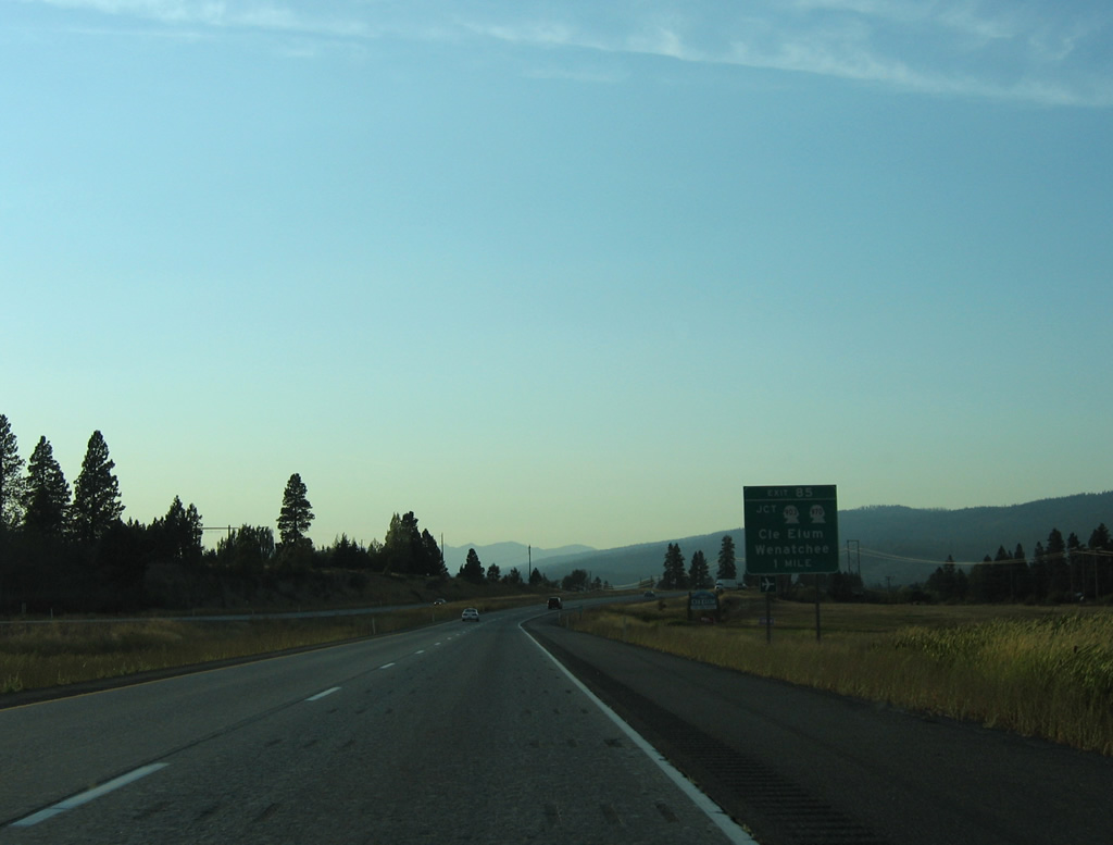
Two exits join Interstate 90 with the city of Cle Elum. Exit 85 serves the east side of town via a diamond interchange with SR 970 east to SR 903 (1st Street) west. SR 970 travels 10.3 miles east from Exit 85 to U.S. 97 as part of a route to Wenatchee for points west.
08/28/06

Interstate 90 crosses the Yakima River just ahead of Exit 85 to SR 970. SR 970 follows old U.S. 10 east to Teanaway and SR 10. SR 903 lines old U.S. 10 along 1st Street through the Cle Elum city center.
08/28/06
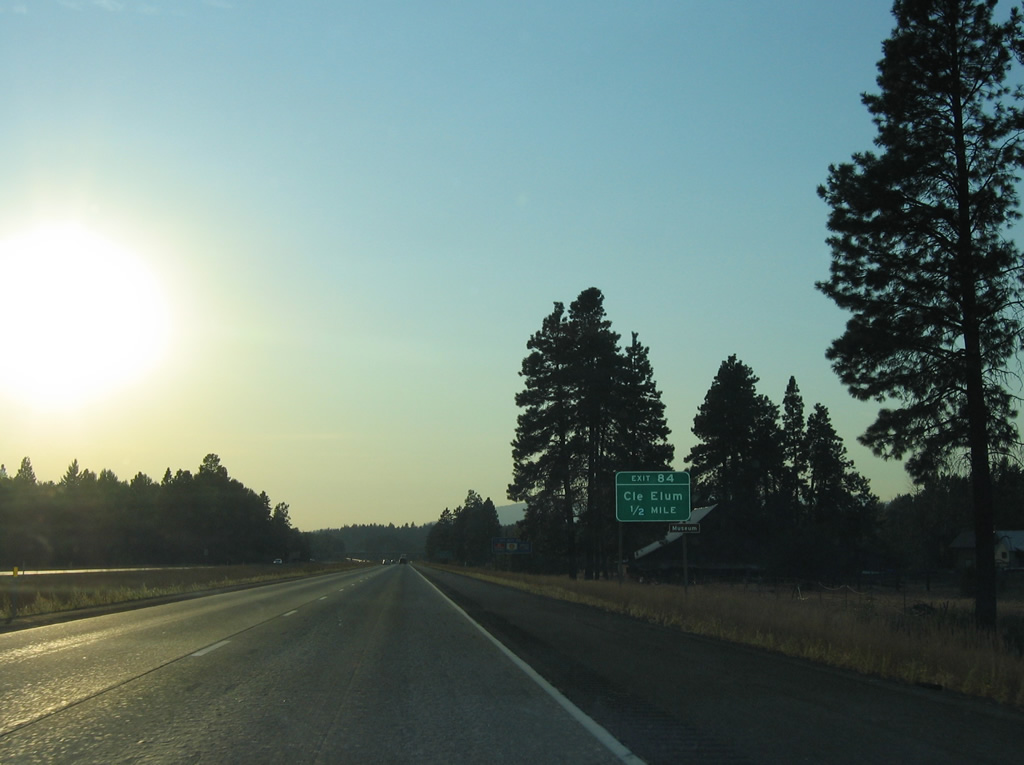
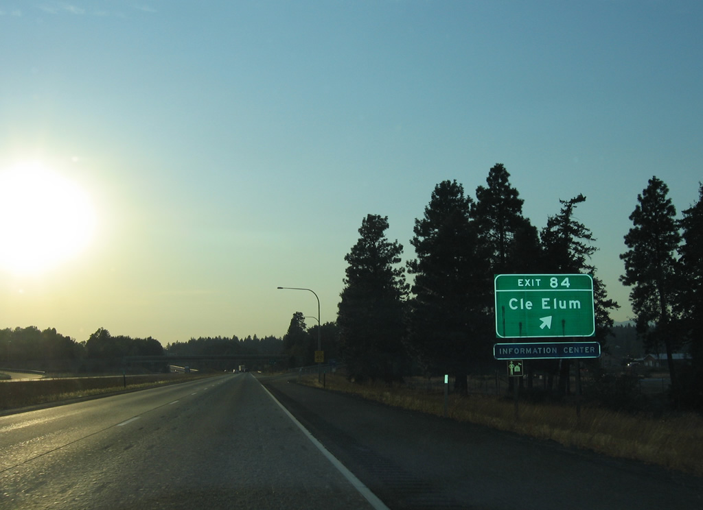
The half diamond interchange at Exit 84 joins I-90 west with Oakes Avenue in a half mile.
08/28/06
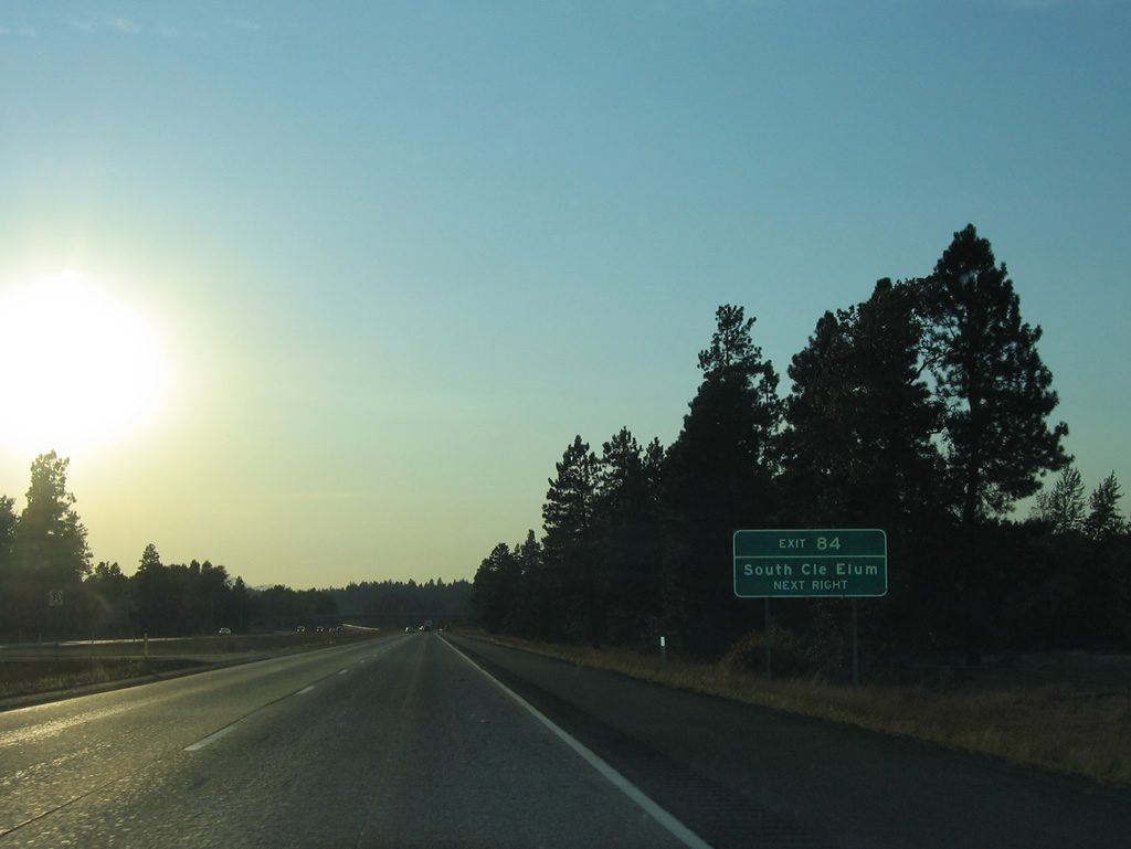
The town of South Cle Elum lies south of the Yakima River via Cle Elum Way from 1st Street.
08/28/06
Oakes Avenue takes an S-curve north to the Cle Elum Street grid, meeting 1st Street at the SR 903 turn to 2nd Street for Roslyn and Ronald.
08/28/06
1st Street converges with Interstate 90 at a wye interchange on the west side of Cle Elum. 1st Street between Exits 85 and 84 was once a part of Business Loop I-90.
08/28/06

References:
- Mountains to Sound Greenway Trust web site. https://mtsgreenway.org/
Photo Credits:
- AARoads: 08/28/06, 09/01/06
Connect with:
Page Updated Wednesday June 26, 2013.