
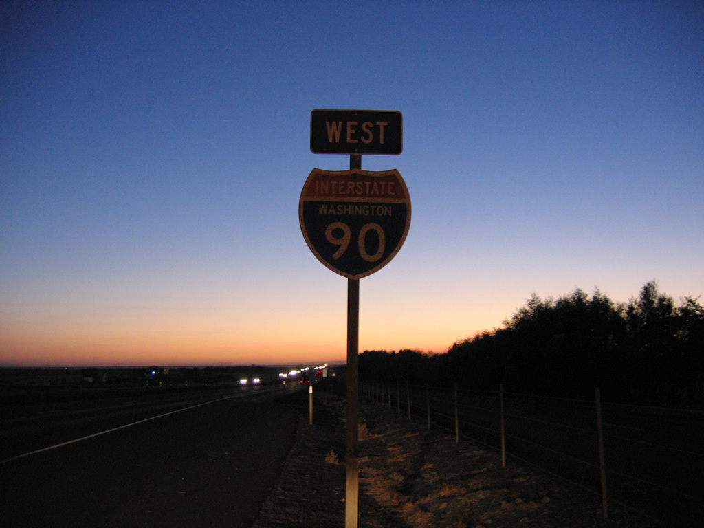
Interstate 90 West - Moses Lake to Wanapum Lake
 West
West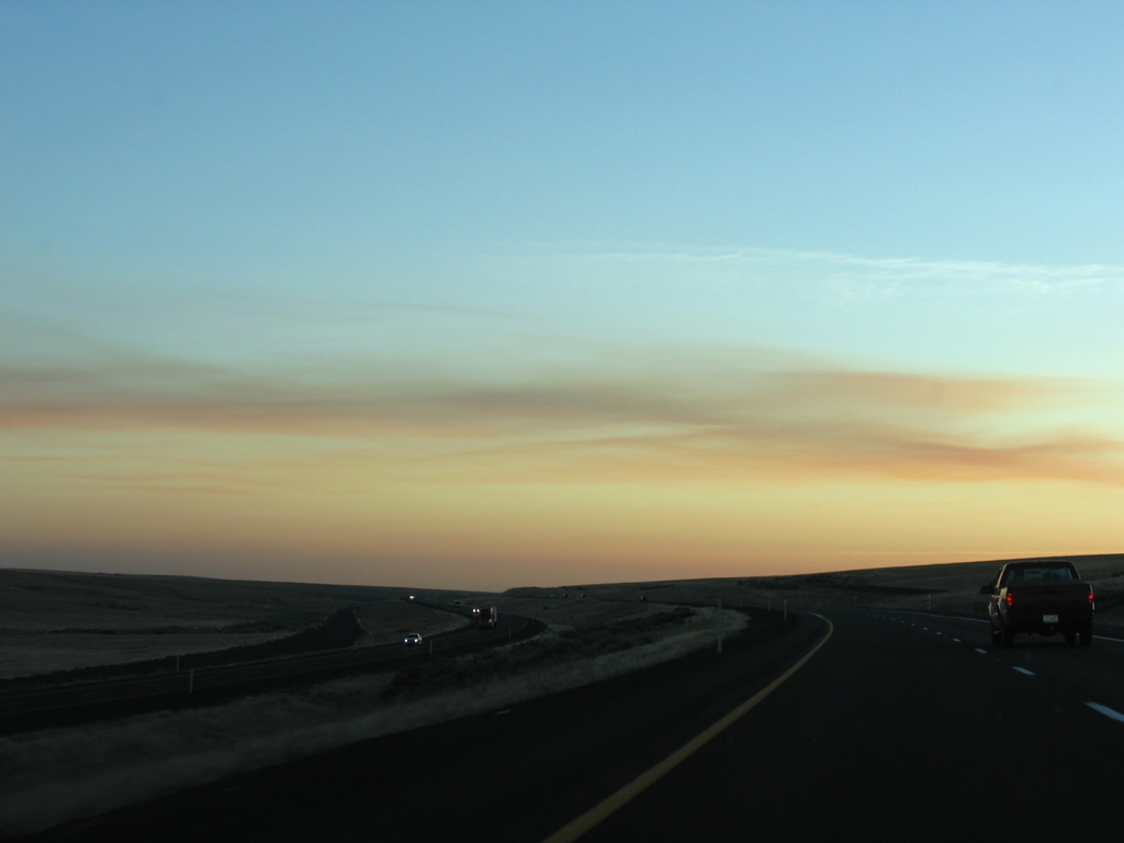
Old U.S. 10 (Schrag Road) appears to the south in this scene as Interstate 90 enters Bauer Coulee
09/01/06

Interstate 90 and old U.S. 10 separate as the former US highway remains through Bauer Coulee to SR 21.
09/01/06
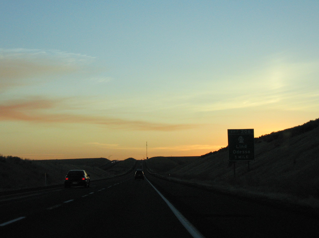
SR 21, a 191.3 mile long highway from Kahlotus to the Canadian border at Danville, connects with I-90 at a diamond interchange (Exit 206) in one mile.
09/01/06
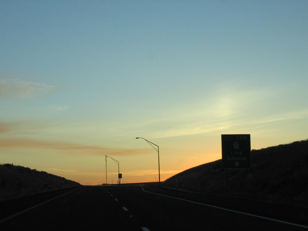
Heading south from Exit 206, SR 21 travels 13 miles to U.S. 395 via Lind. Odessa is 19 miles to the north at SR 28.
09/01/06
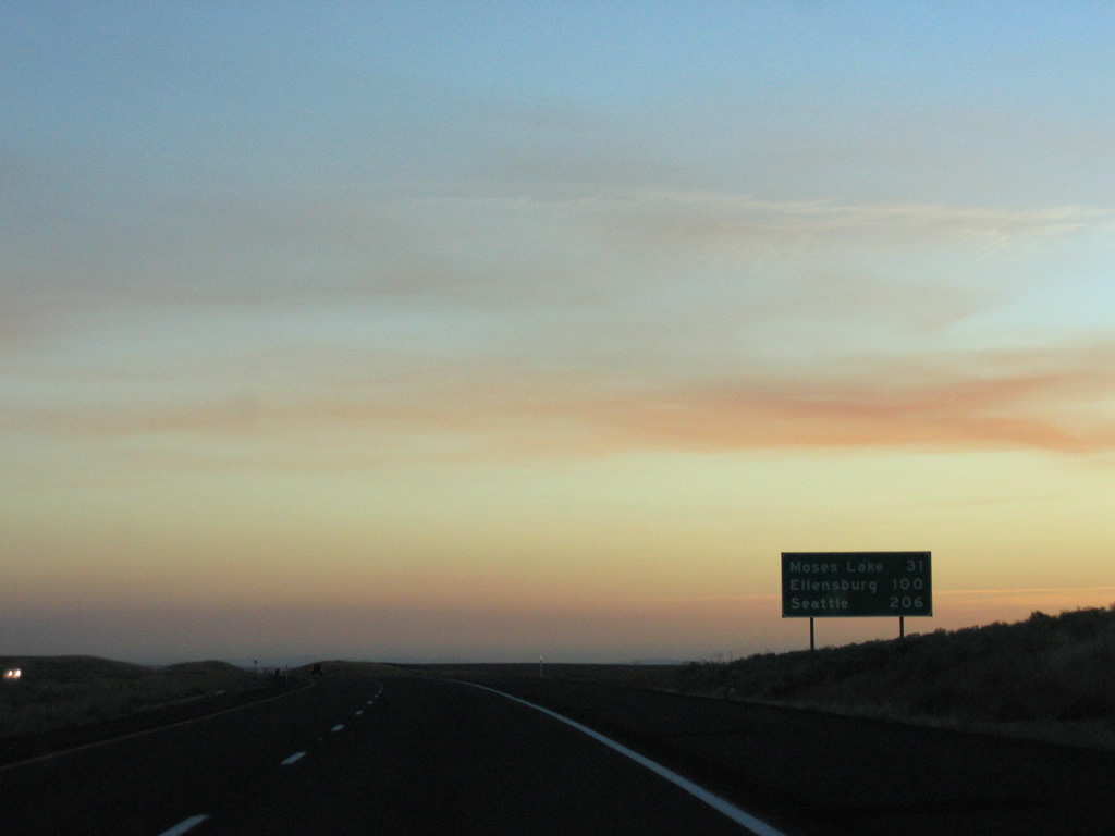
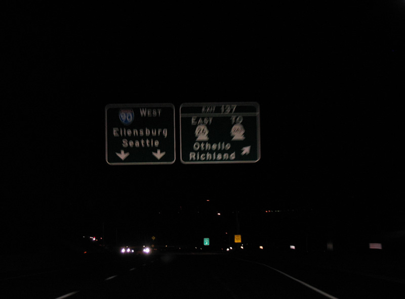
Moses Lake, a city of 20,366 per the 2010 census, is the next city along Interstate 90 west in 31 miles. Ellensburg, just west of I-82, is 100 miles away followed by Seattle at 206 miles.
09/01/06

Sunset along Interstate 90 as the freeway kinks southward to again parallel Schrag Road (old U.S. 10).
09/01/06
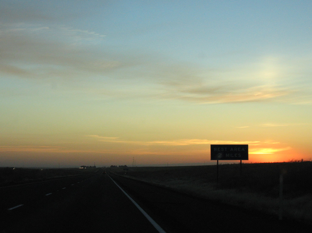
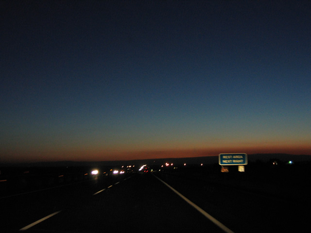
A pair of rest areas line Interstate 90 east of Farrier Coulee and north of Bauer Coulee near the settlement of Schrag. This is the second of five westbound facilities.
09/01/06
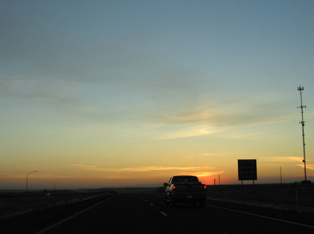
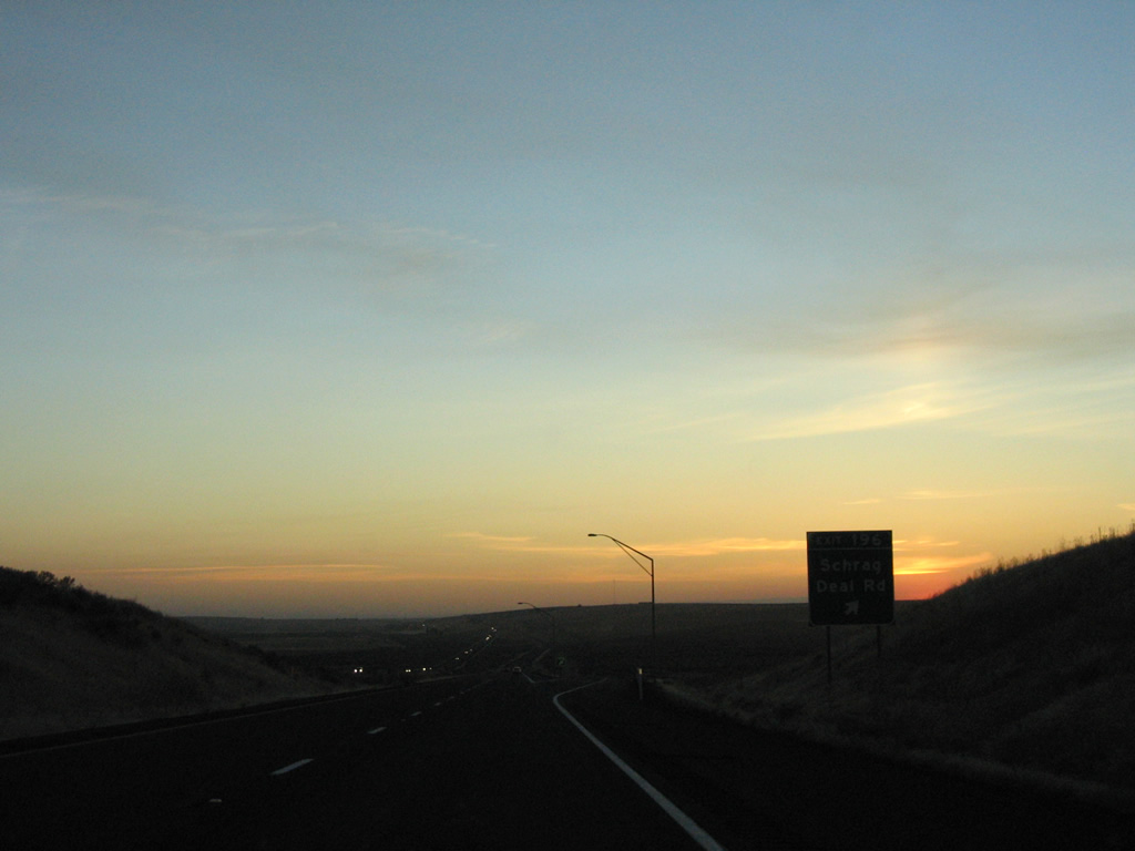
Deal Road connects Interstate 90 with adjacent Schrag Road ahead of Farrier Coulee. Deal Road south to Urquhart Road east leads to the siding of Schrag.
09/01/06
Entering the diamond interchange (Exit 196) with Deal Road on I-90 west. Deal Road runs south to Lind-Warden Road and north to Davis Road at the Lincoln County line, serving agricultural areas in either direction.
09/01/06
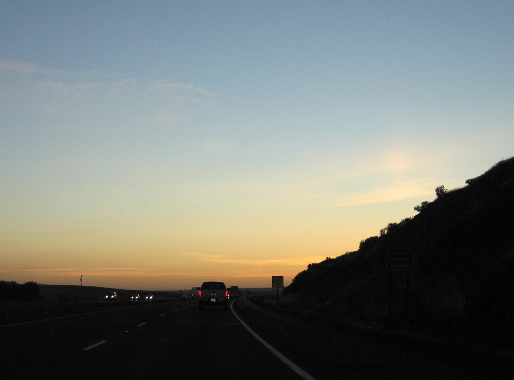
Interstate 90 straddles the hill side north of Weber Coulee to the Grant County line.
09/01/06
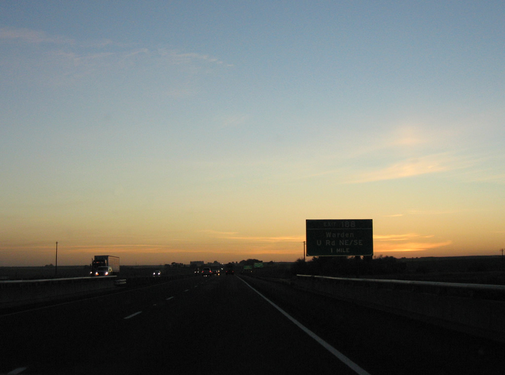
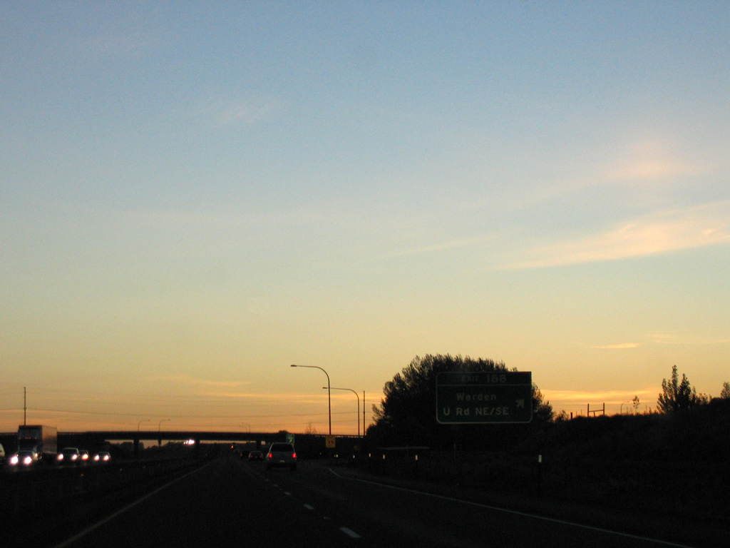
U Road meets Interstate 90 at the first of 13 Grant County interchanges in one mile. The rural road links I-90 with Warden and the east end of SR 170, 8.1 miles to the south.
09/01/06
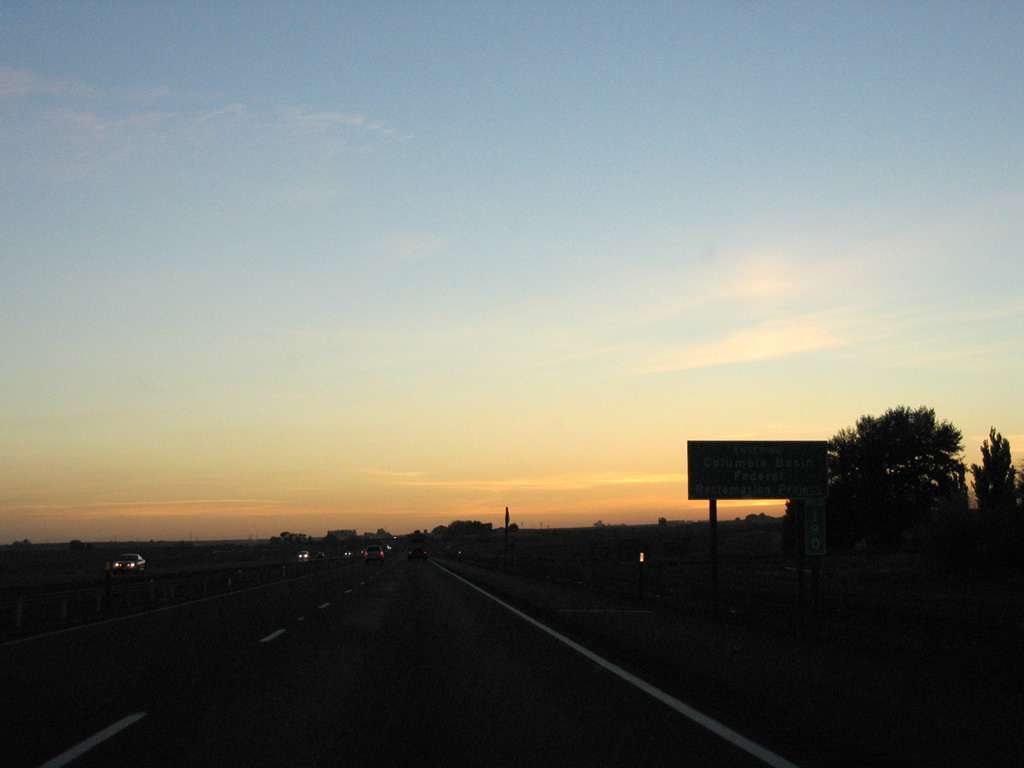
Interstate 90 enters the Columbia Basin Federal Reclamation Project>, the largest water reclamation project in the U.S. The project supplies irrigation water to over 670,000 acres via a series of canals and reservoirs, made possible by the construction of Grand Coulee Dam.1 Interstate 90 passes over East Low Canal, one of the network waterways, just east of Exit 188.
09/01/06
Exit 188 is a diamond interchange with U Road Northeast and U Road Southeast.
09/01/06
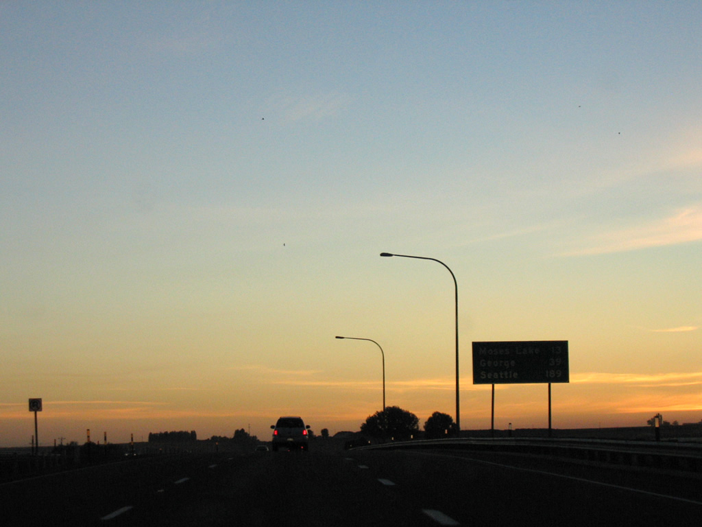
Moses Lakes is 13 miles to the west, followed by George in 39 miles, where Interstate 90 turns southward for the crossing of the Columbia River.
09/01/06

A Washington Central Railroad line passes over Interstate 90 one half mile east of the diamond interchange (Exit 184) with Q Road.
09/01/06
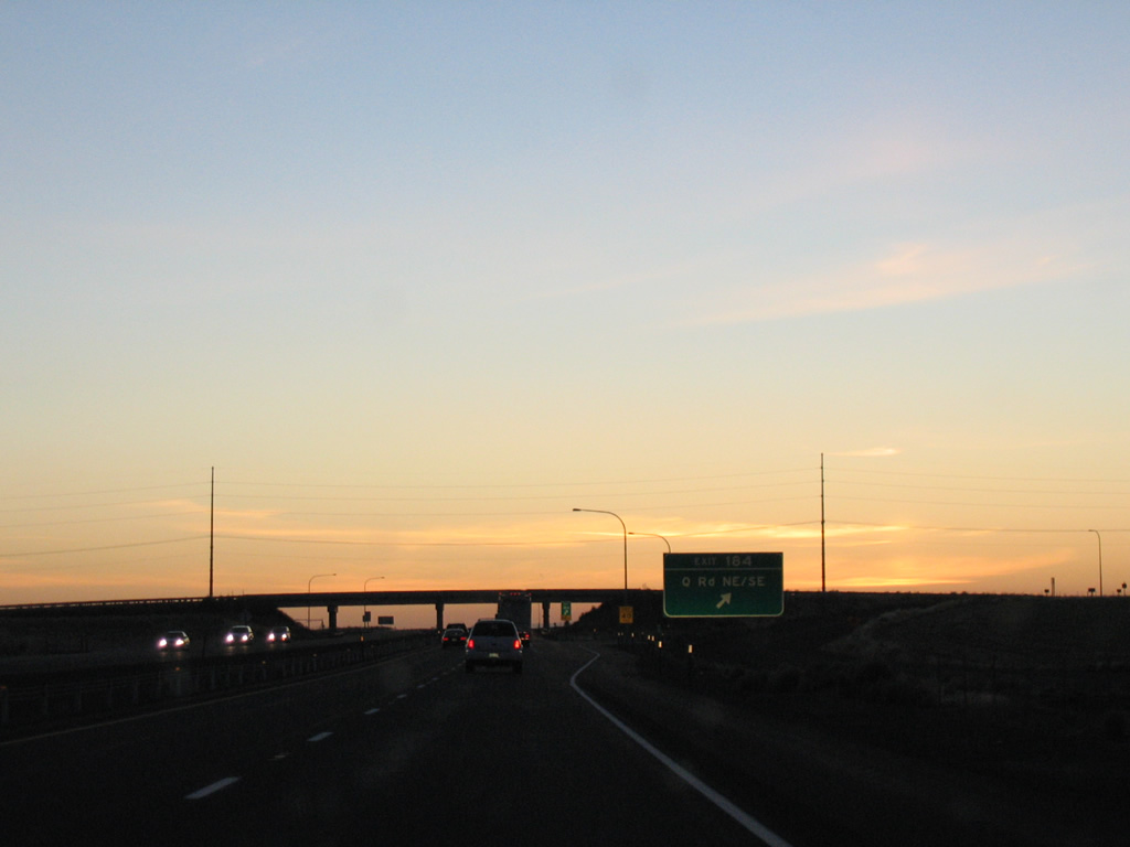
Like U Road to the east, Q Roads separates between a Southeast and Northeast suffix at Interstate 90. The rural road serves agricultural areas and a nearby agribusiness.
09/01/06
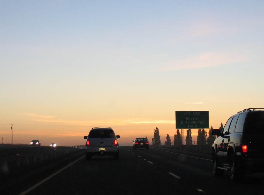
Two miles further west, Interstate 90 meets O Road at another rural diamond interchange (Exit 182).
09/01/06
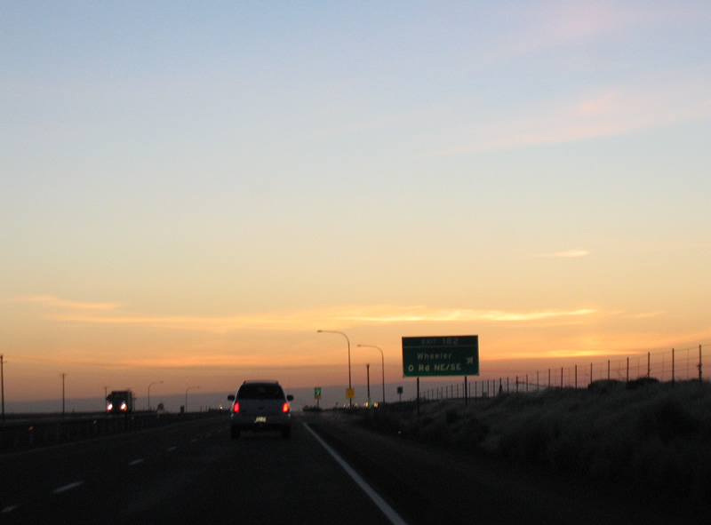
O Road Northeast leads motorists 2.7 miles north from Exit 182 to the community of Wheeler.
09/01/06
Additional agribusinesses appear along Interstate 90 ahead of Moses Lake.
09/01/06
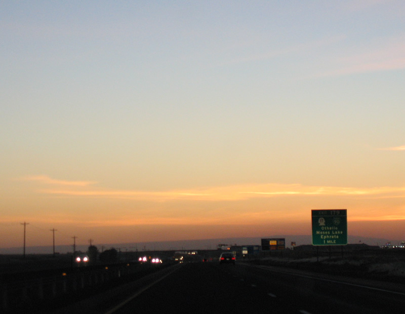
Exit 179 joins Interstate 90 with SR 17 and Business Loop I-90 west into Moses Lake. The business loop is signed well as compared to any of the other loops along I-90's course through Washington. It follows SR 17 north to Pioneer Way and Pioneer Way to the city center before looping back south along Broadway Avenue and SR 171.
09/01/06
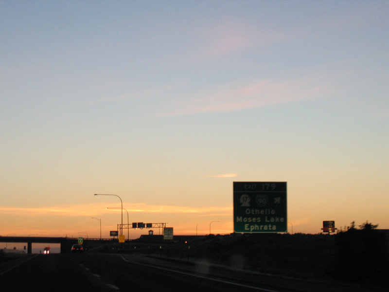
Exit 179 leaves I-90 for Business Loop I-90 west and SR 17. SR 17 measures 136.7 miles between Mesa, Othello, Moses Lake and U.S. 97 east of Brewster. Connections with SR 282, 17 miles to the north, lead motorists to the Grant County seat of Ephrata.
09/01/06
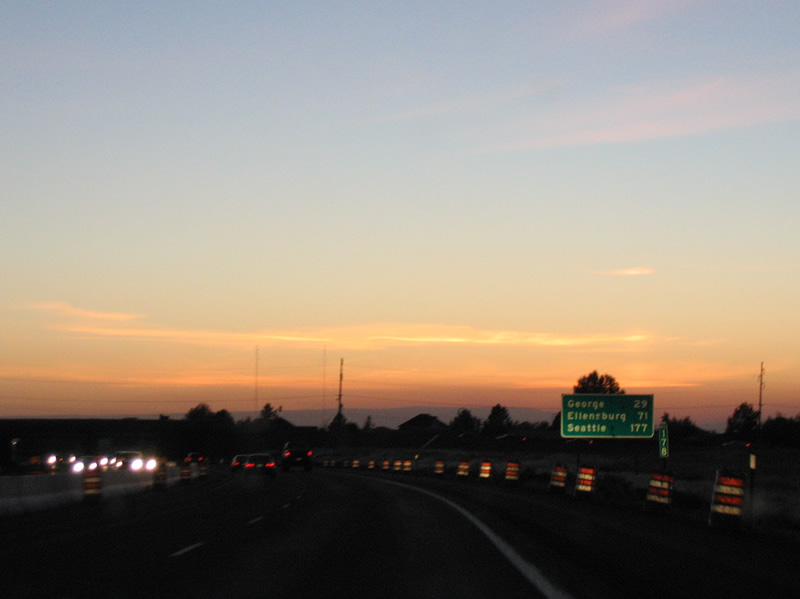
West from Exit 179, Interstate 90 reaches George in 29 miles and Ellensburg in 71 miles. Seattle is 177 miles out.
09/01/06

Interstate 90 lowers to cross Pelican Horn of Moses Lake along a causeway utilizing Marsh Island.
09/01/06
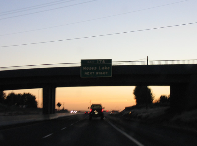
Exit 176 joins Interstate 90 with the west end of the Moses Lake business loop via Broadway Avenue. SR 171, a 3.8 mile route, follows all of Broadway Avenue north to SR 71.
09/01/06

A diamond interchange links Interstate 90 and SR 171 north / Business Loop I-90 east at Broadway Avenue. Originally a half diamond interchange connected westbound with Driggs Drive while a wye interchange carried motorists from SR 171 south onto I-90 west.
09/01/06

West of the crossing over Moses Lake, Interstate 90 enters the community of Westlake and a half diamond interchange (Exit 175) with Westshore Drive. Westshore Drive hugs Moses Lake northward through Mae Valley.
09/01/06
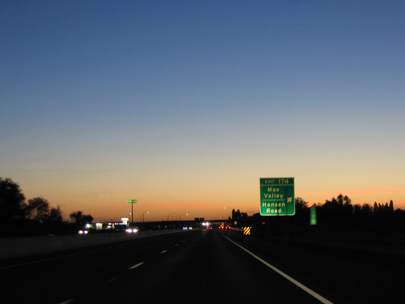
Exit 174 follows from nearby to Hansen Road north to Mae Valley and south to Sage Road.
09/01/06
A vintage state named shield for Interstate 90 was posted west of the Hansen Road emtrance ramp. This was replaced by October 2011.
09/01/06
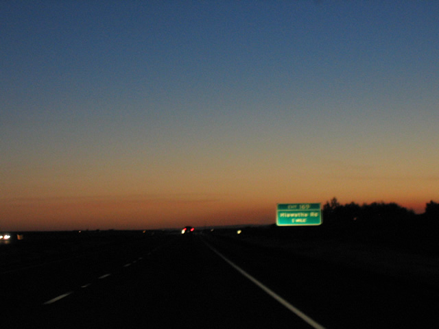
Pressing westward, Interstate 90 enters Hiawatha Valley ahead of the diamond interchange (Exit 169) with Hiawatha Road.
09/01/06
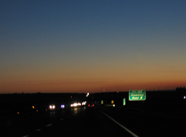
Hiawatha Road stems north from the South Frontage Road and Exit 169 to agricultural areas through Hiawatha Valley.
09/01/06
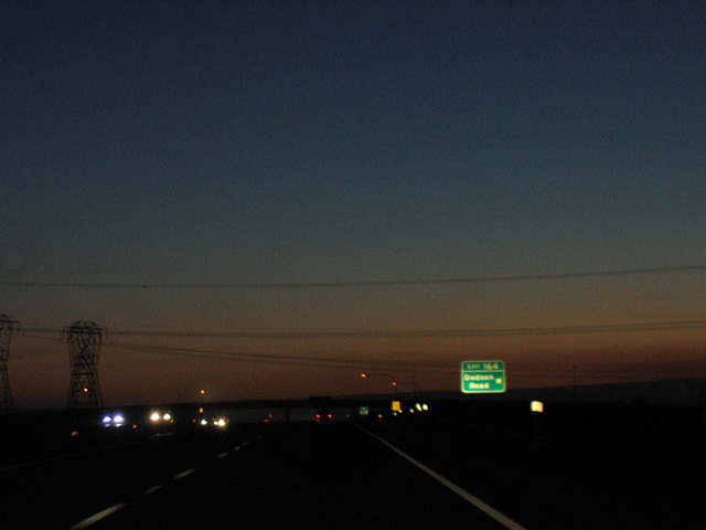
A parclo interchange (Exit 164) joins Interstate 90 with Dodson Road north to Ephrata and south to SR 26 near Red Rock Lake.
09/01/06
The third westbound rest area of Interstate 90 lies at the Winchester Wasteway in two miles.
09/01/06
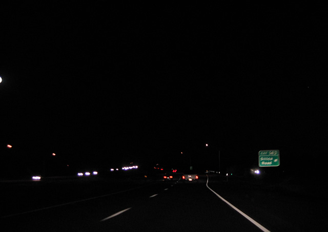
Interstate 90 bee lines west from Westlake toward George. Frontage roads accompany the freeway along this stretch to Exit 151.
09/01/06
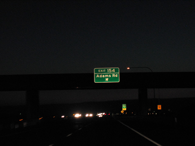
Ramps tie into the adjacent Frontage Roads from Interstate 90 for Adams Road at Exit 154. The rural road leads north to SR 283 and south through Low Gap Pass of Frenchman Hills to SR 26.
09/01/06
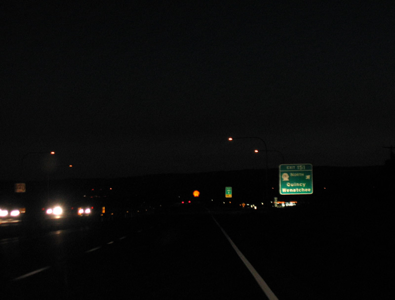
A modified trumpet interchange (Exit 151) connects Interstate 90 west with SR 281 Spur north to SR 281 and SR 283, a 14.8 mile route northeast to Ephrata. SR 281 north to SR 28 west leads motorists to Wenatchee and U.S. 97.
09/01/06
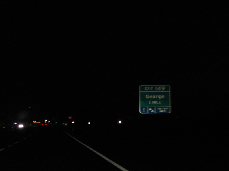
SR 281 leads 2.7 miles south from SR 281 Spur to the diamond interchange at Exit 149 in one mile. Royal Anne Avenue stems southeast from the exchange into the city of George.
09/01/06
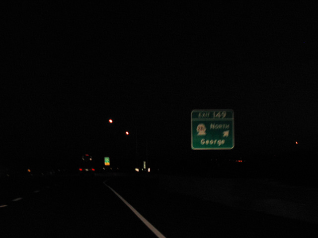
Exit 149 departs I-90 west for SR 281 north and Royal Anne Avenue south. SR 281 travels 10.6 miles north from George to SR 28 at Quincy.
09/01/06
Silica Road meanders northwest from U Road and a diamond interchange (Exit 143) with Interstate 90 onto Evergreen Ridge. Connections with Sunland Road west lead drivers to Sunland Estates along the Columbia River (Wanapum Lake).
09/01/06
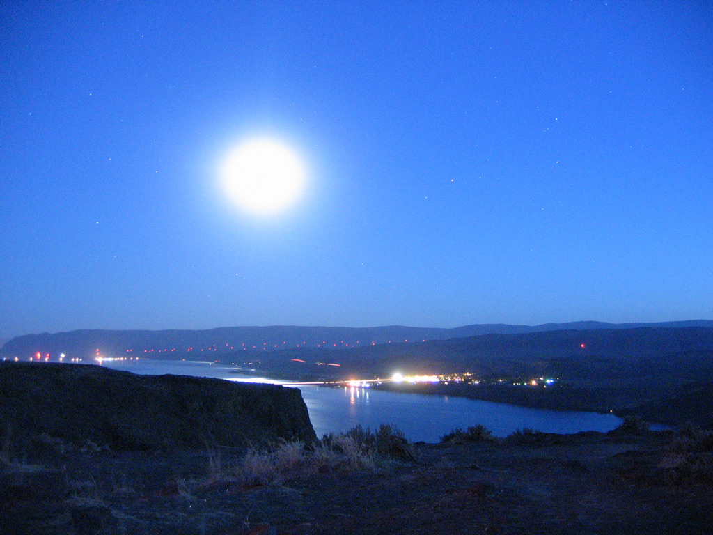
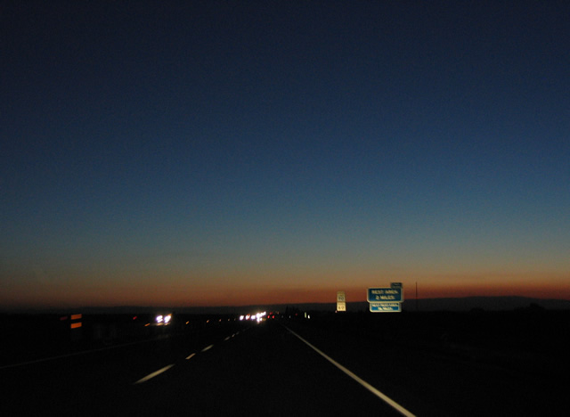
Signed as Exit 139, a vista point along Interstate 90 at Babcock Bench affords motorists a spectacular view of Wanapum Lake at the community of Vantage.
09/01/06
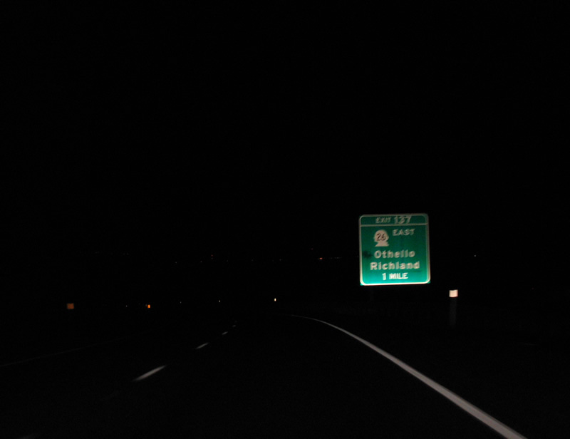
Facing south, Interstate 90 lines the hills above Wanapum Lake to the trumpet interchange (Exit 137) with SR 26. SR 26 commences a 133.6 mile route here to Royal City, Othello, Washtucna and Colfax
09/01/06
Interstate 90 turns west to cross the Columbia River over the Vantage Bridge as SR 26 begins at Exit 137. Separating from SR 26 in 1.6 miles, SR 243 comprises the northern leg of a route south with SR 24 and SR 240 to Richland in the Tri-Cities. The Vantage Bridge was built in 1962.2
09/01/06
References:
- Columbia Basin Project. Wikipedia.
- Vantage Bridge. Wikipedia.
Photo Credits:
- AARoads: 09/01/06
Page Updated Wednesday June 26, 2013.