
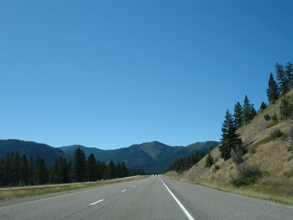
Interstate 90 West - Alberton to St. Regis
 West
West
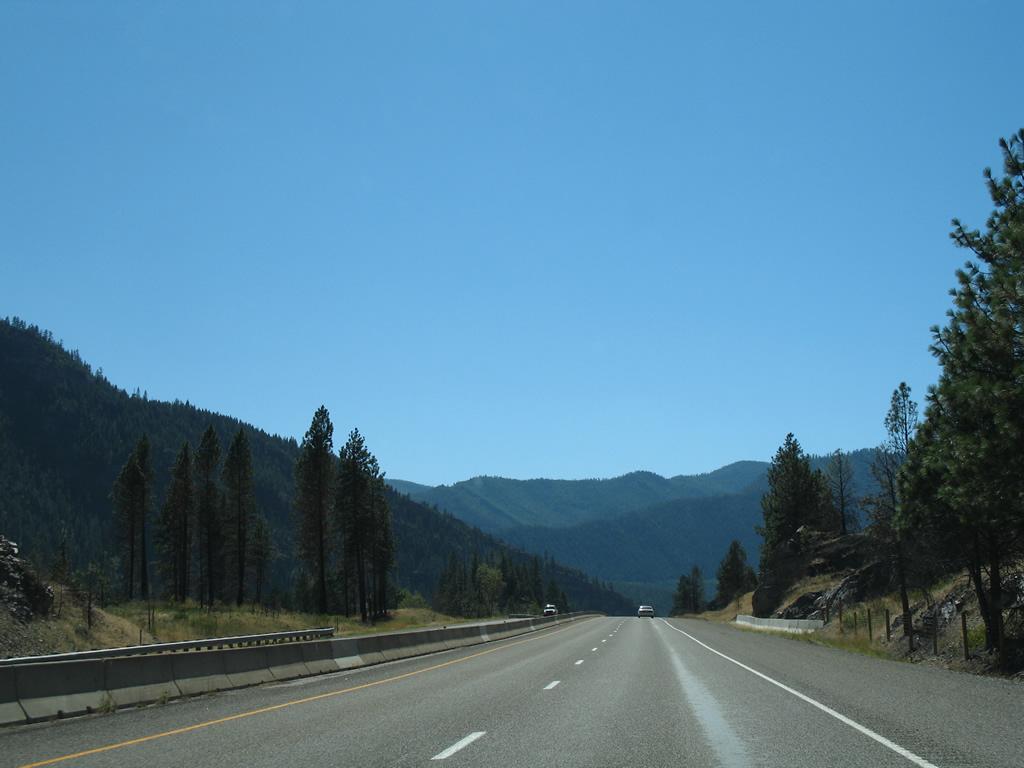
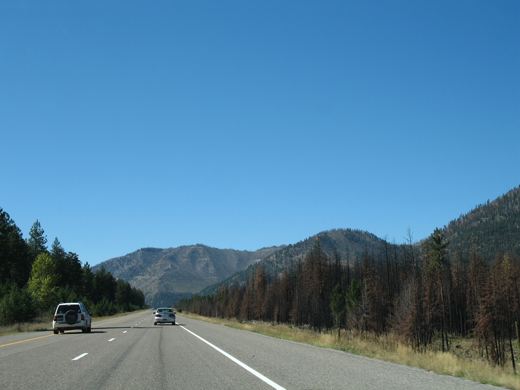
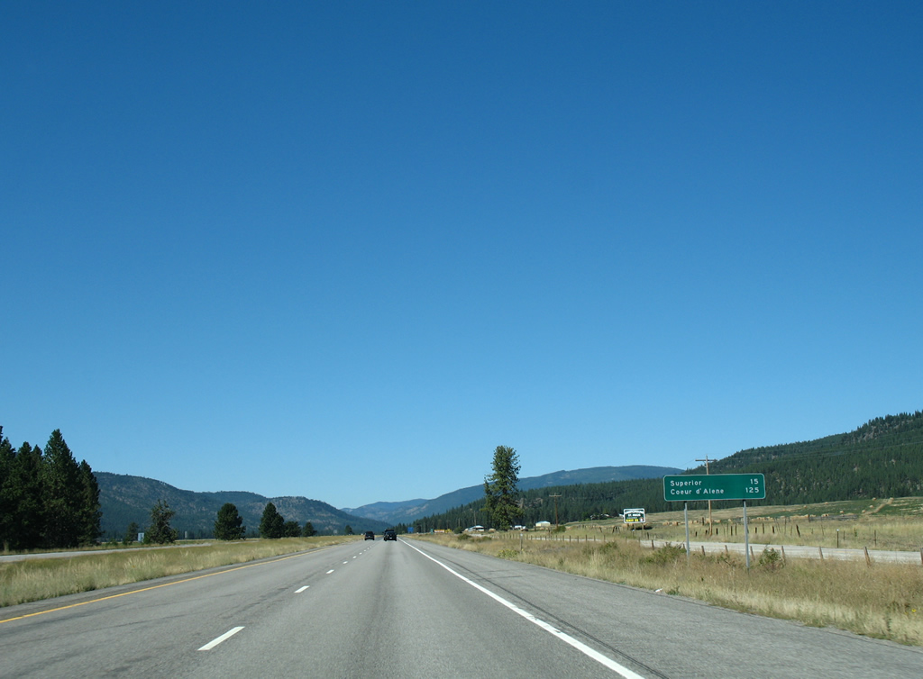
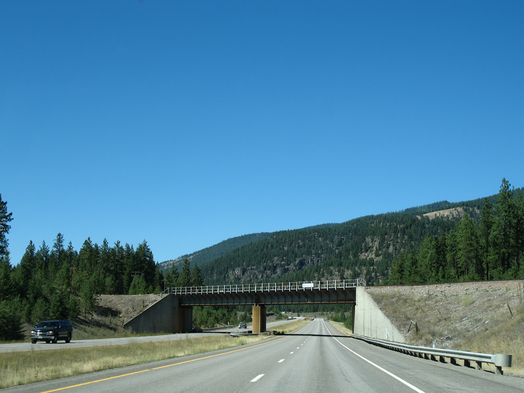
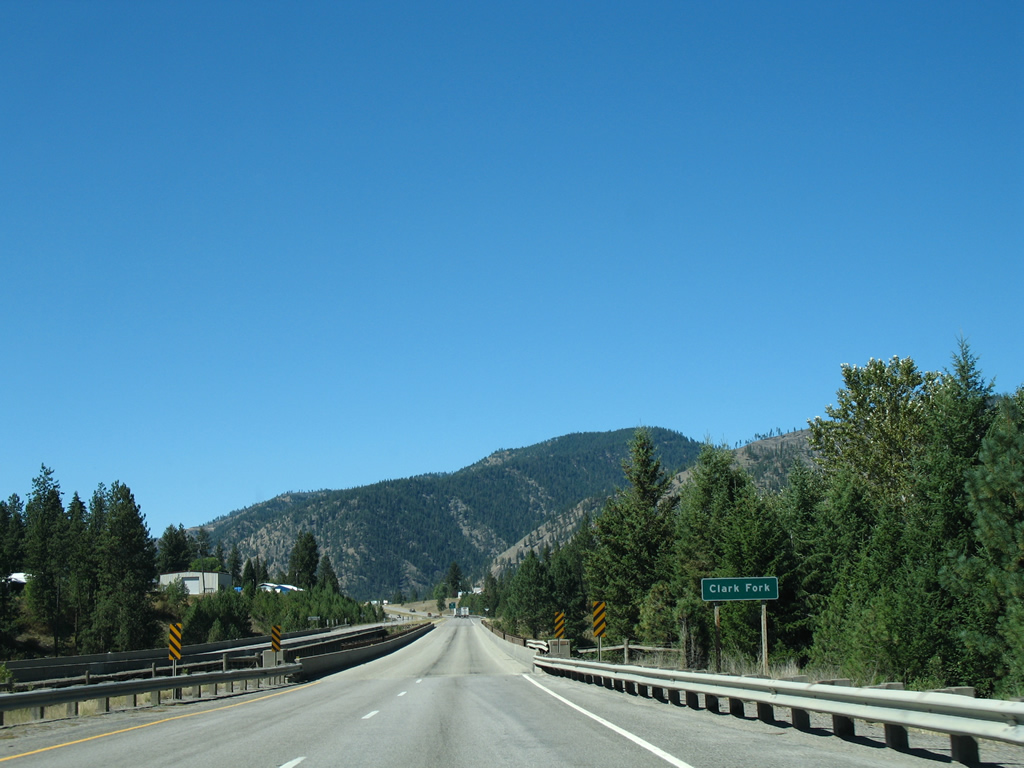
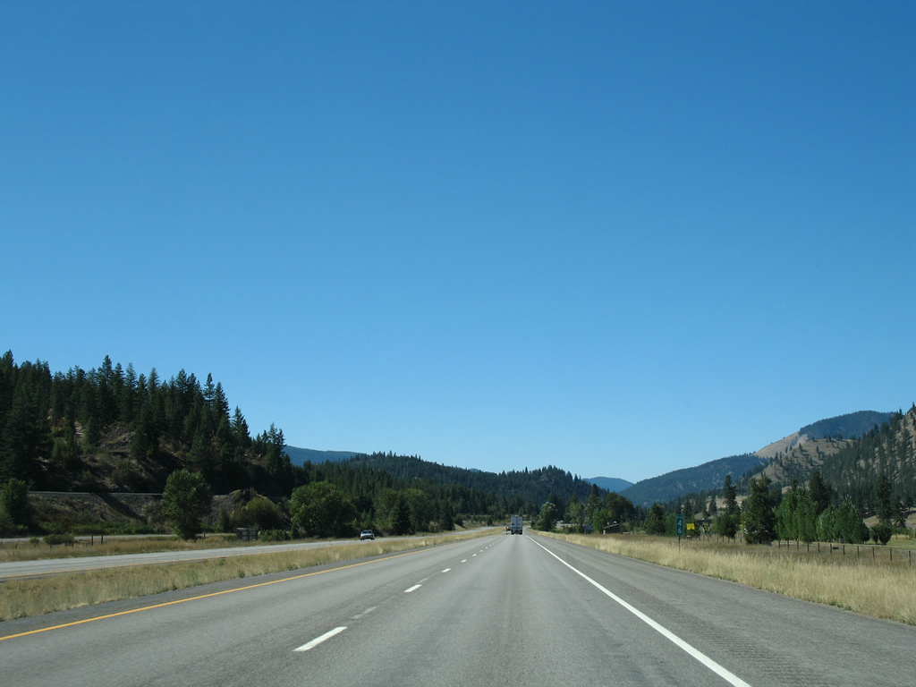
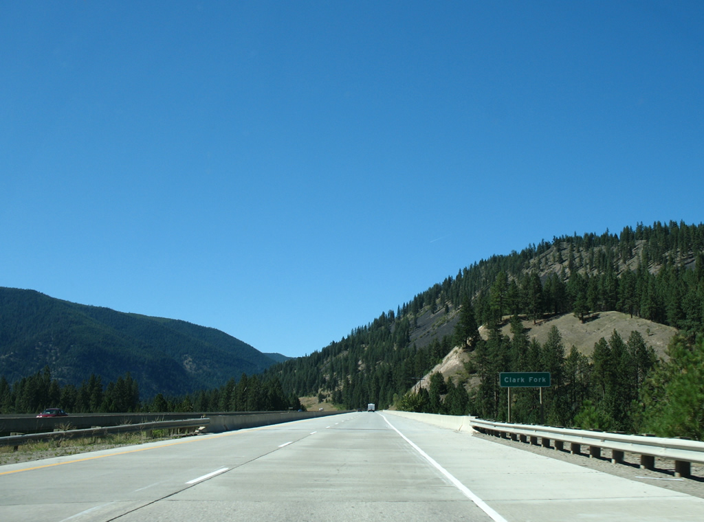
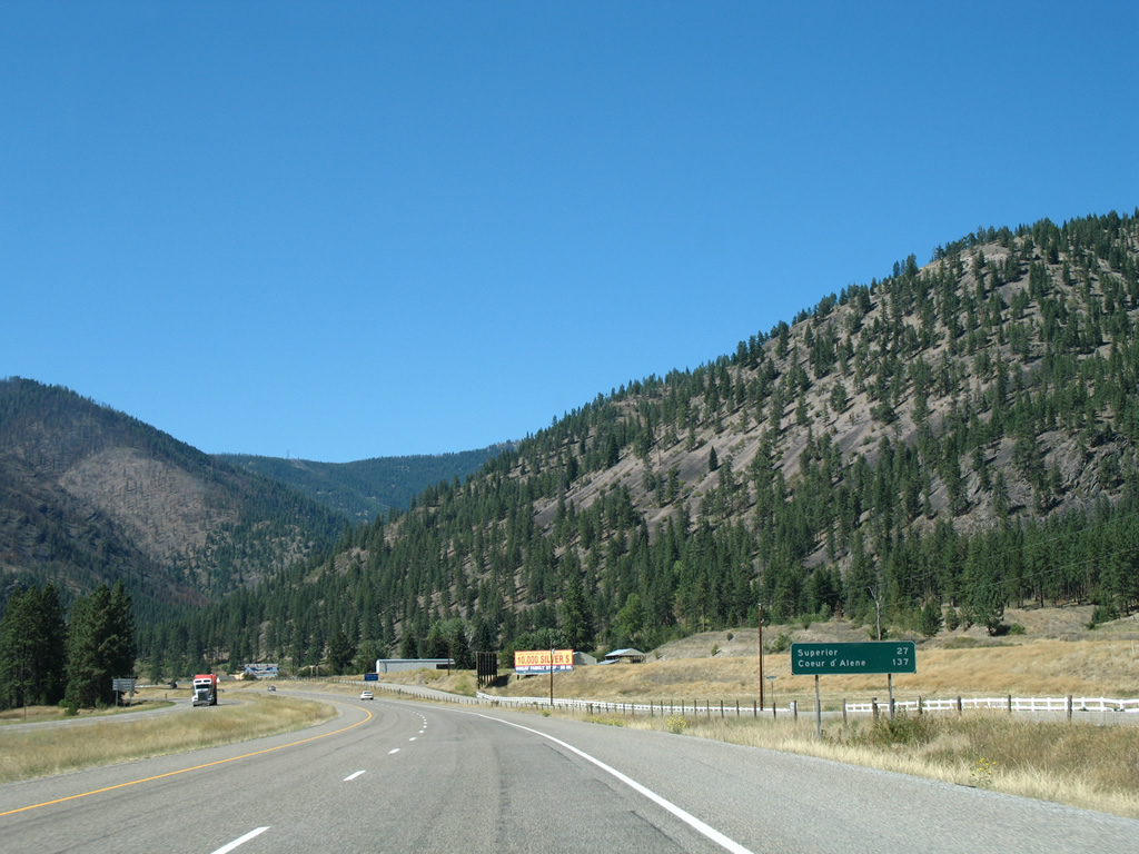
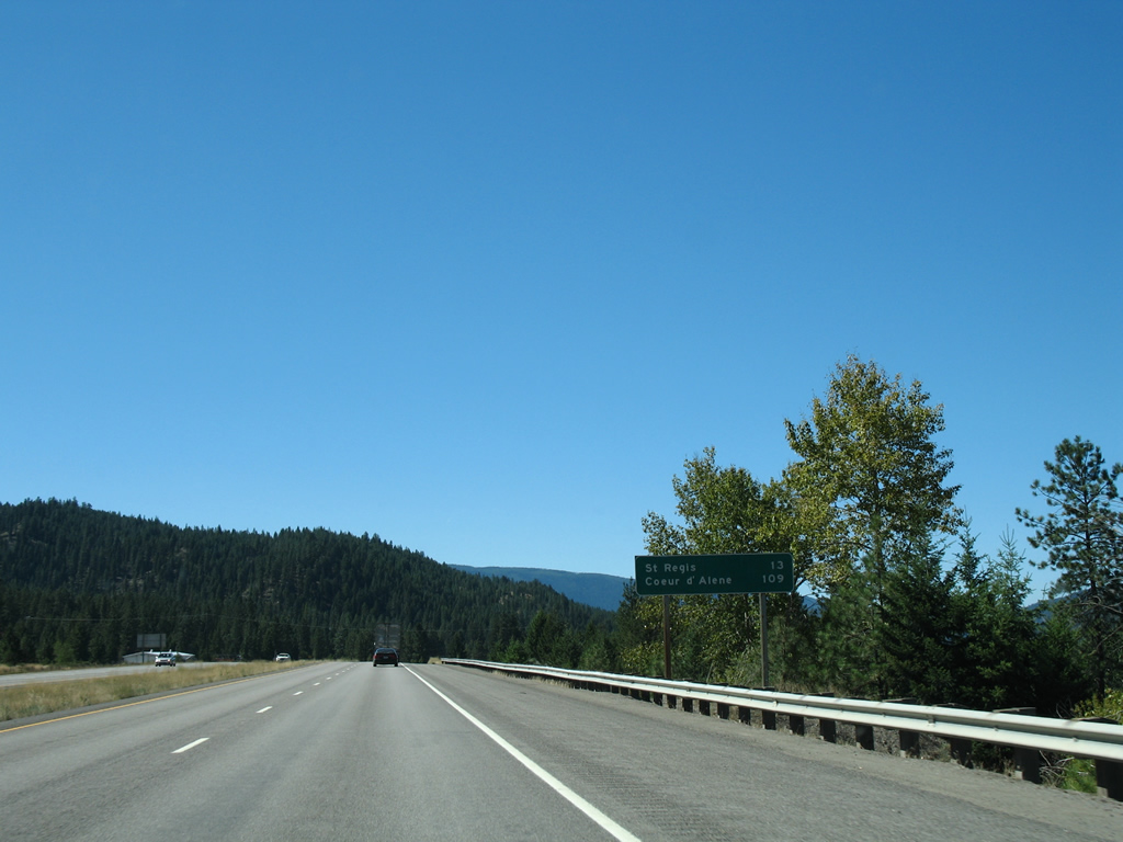
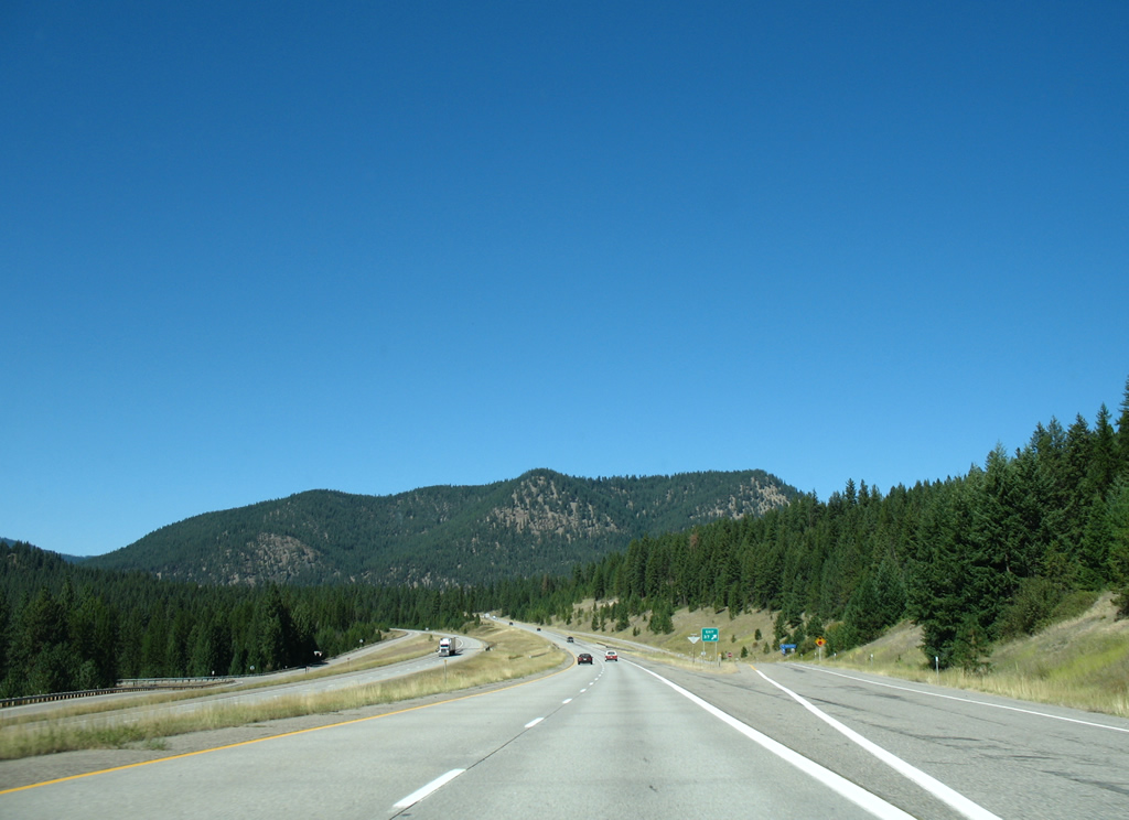
Reassurance shield and distance sign posted as Interstate 90 leaves Alberton. Superior, a town of 812 (2010 census) is next in 27 miles. Coeur d'Alene is 137 miles away.
09/01/06

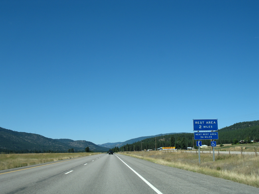
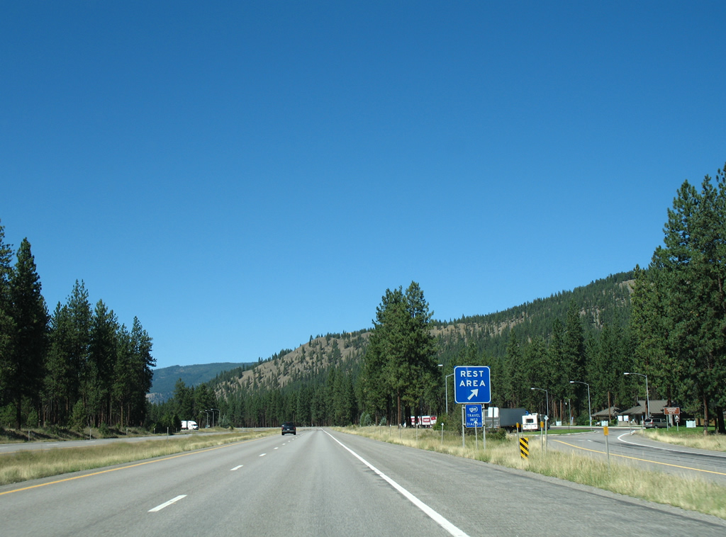
A parking area lines the westbound side of Interstate 90 adjacent to the Frontage Road transition to Mountain Creek Road. Areas of Lolo National Forest line the Clark Fork river valley through this stretch.
09/01/06
An eastbound side parking area serves the St. John Fishing Access area.
09/01/06
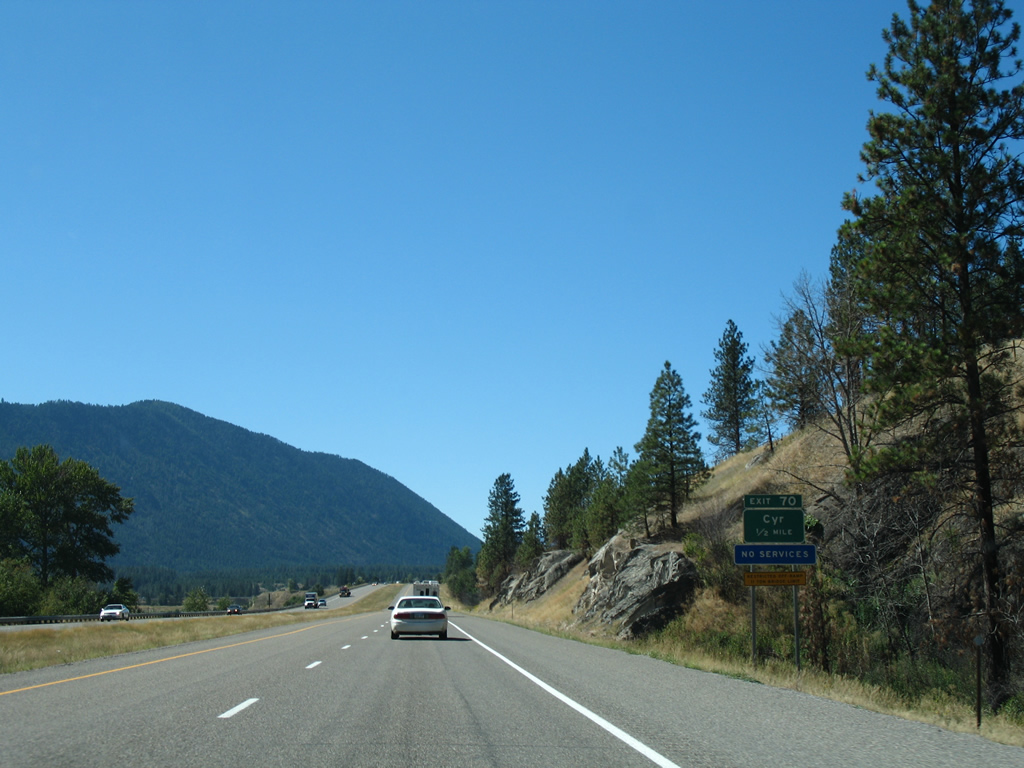
Exit 70 consists of a wye interchange to Old Highway 10 West and the railroad siding of Cyr.
09/01/06
The Cyr off-ramp leads to Cyr Bridge Fishing Access area of the old U.S. 10 bridge over the Clark Fork river. The aging span is restricted to vehicles under 11 tons.
09/01/06
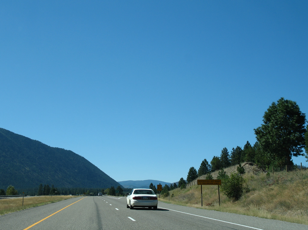
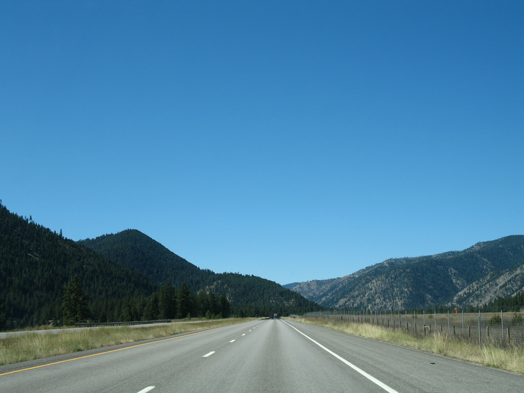
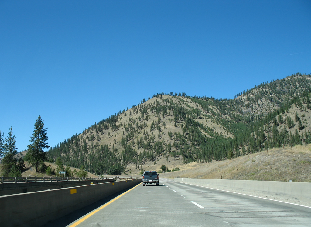
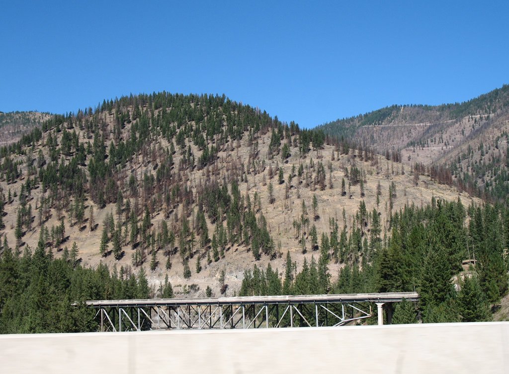
A roadway split along Interstate 90 lines the slope south of the Clark Fork river and north of Cyr Peak (elevation 5,520 feet). Martel Mountain looms in the distance.
09/01/06

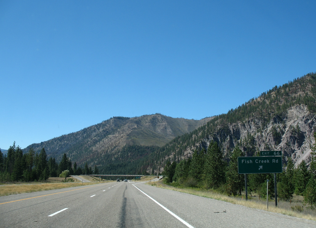
Fish Creek Road stems south from Old Highway 10 West to cross paths with Interstate 90 at the Exit 66 diamond interchange in one mile.
09/01/06
Exit 66 leaves Interstate 90 west for Fish Creek Road, which ventures southward around Cyr Peak to the Big Fishing Fishing Access area in Lolo National Forest.
09/01/06

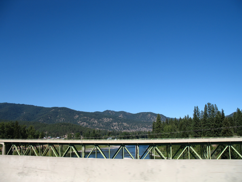
Westbound Interstate 90 again crosses the Clark Fork river beyond Exit 66. The westbound bridge was built in 1965; the eastbound when Interstate 90 was twinned in 1981.
09/01/06
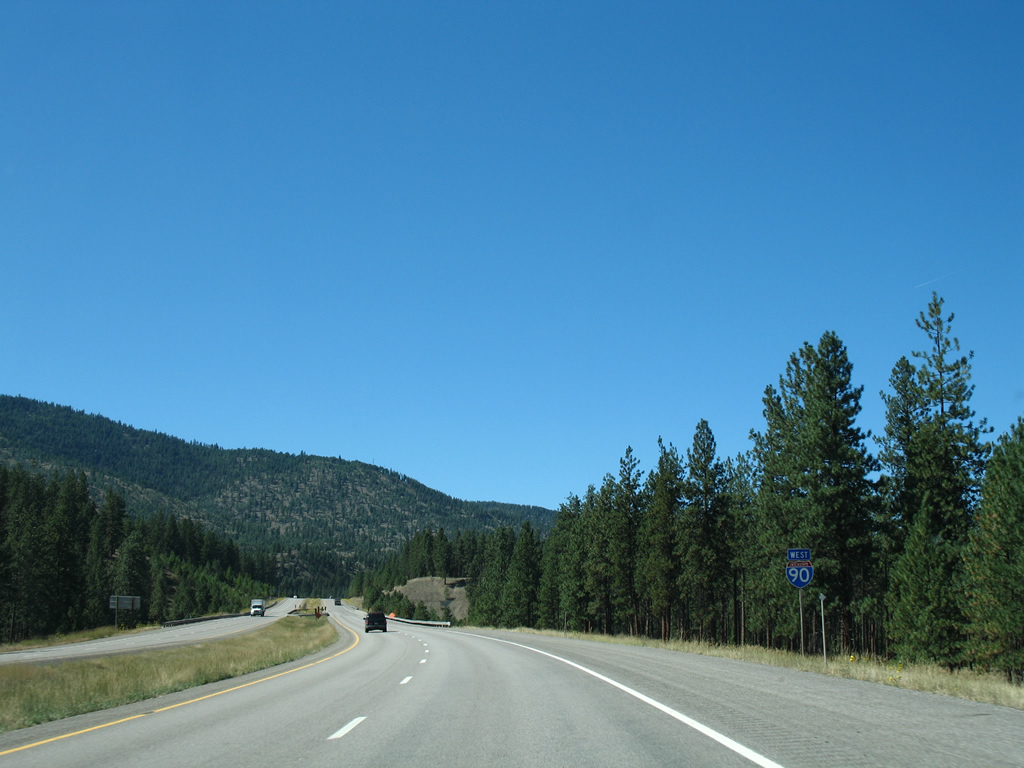
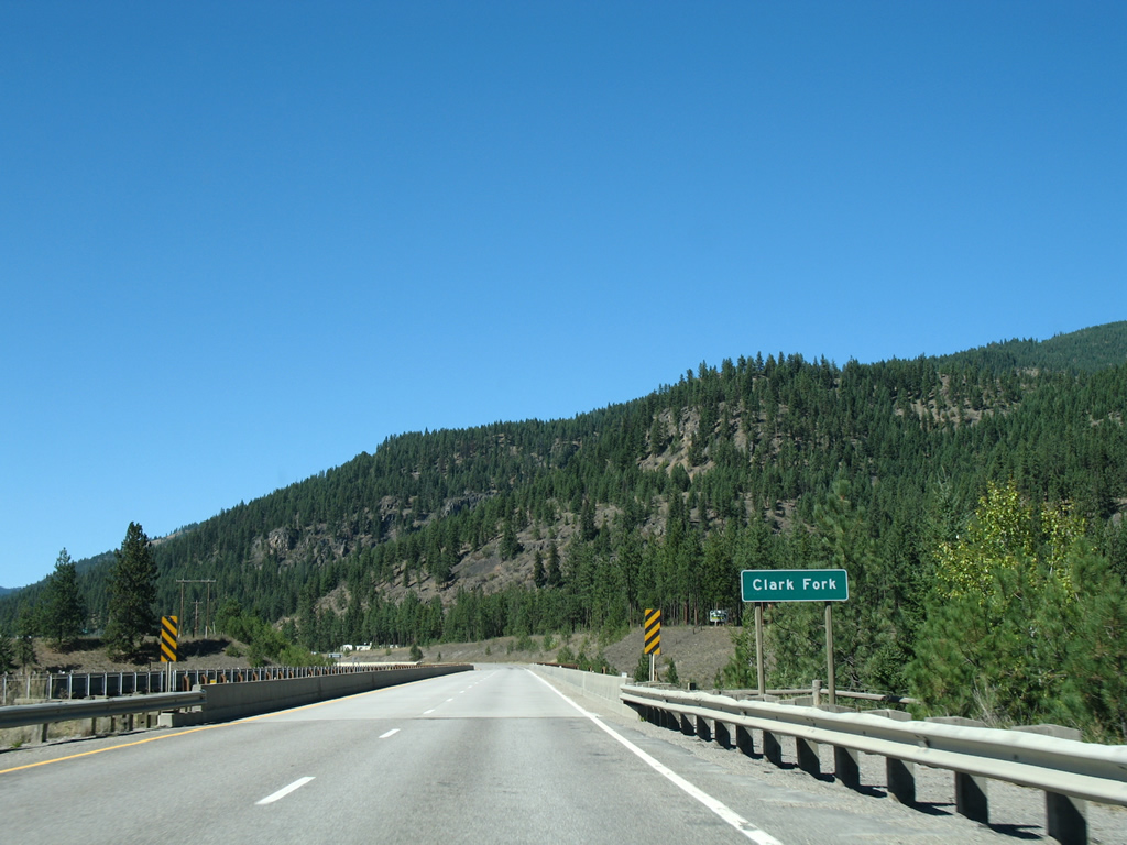
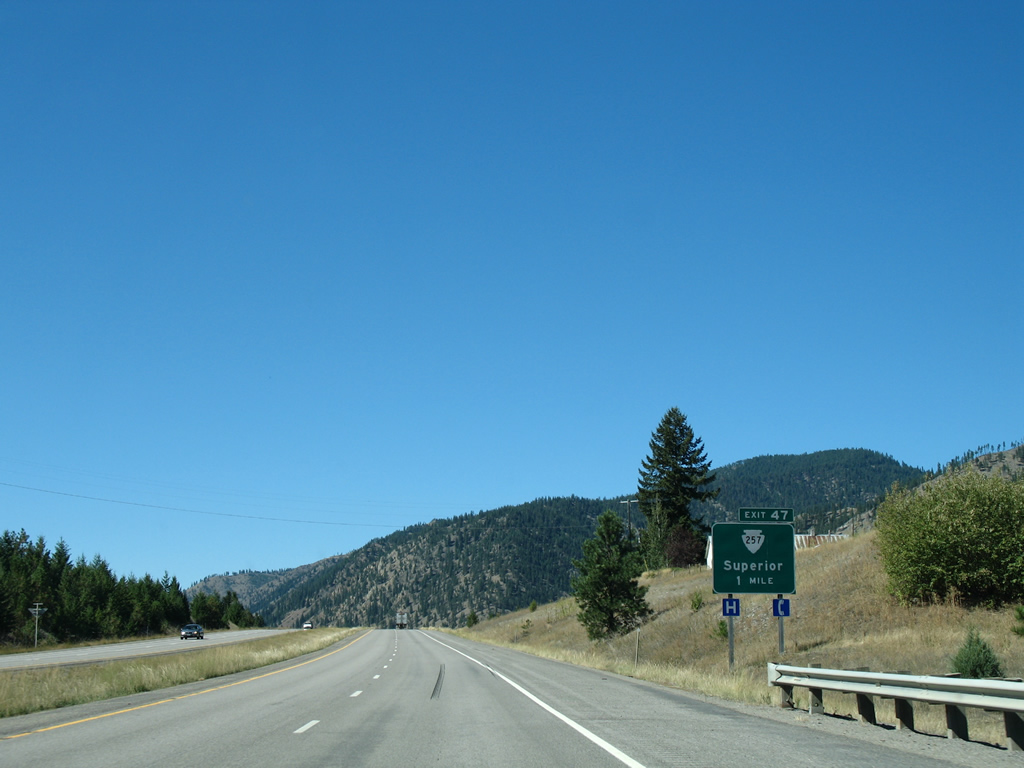
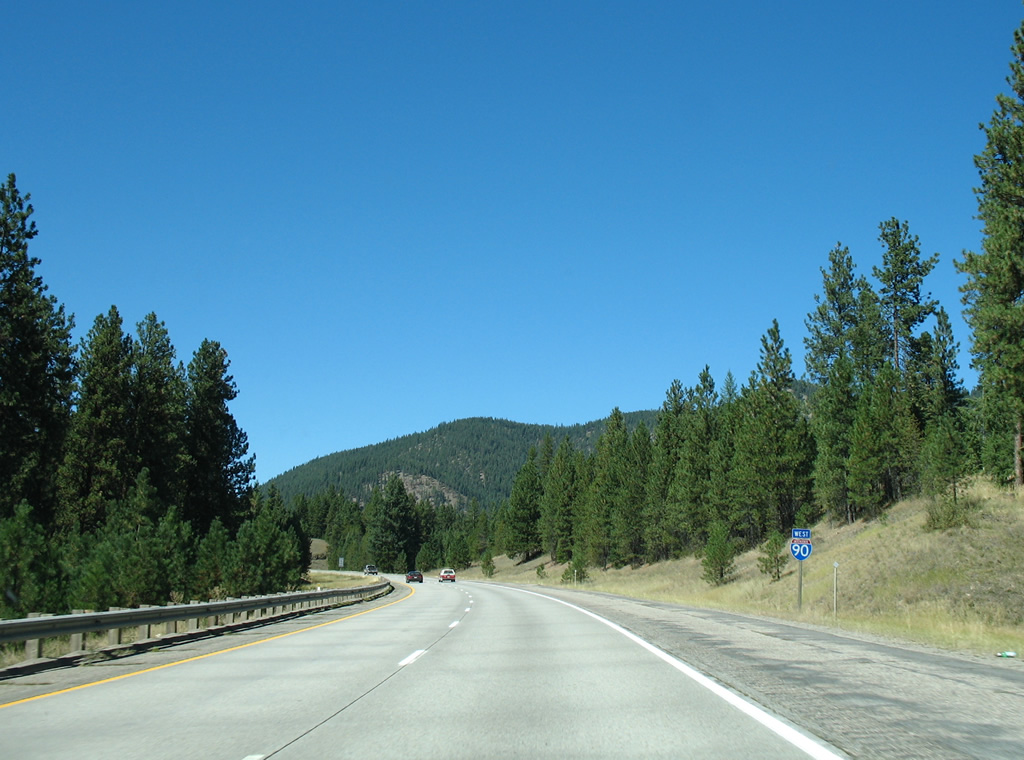
The Mineral County seat of Superior is 18 miles to the west while Coeur d'Alene is two hours away.
09/01/06
Old Highway 10 West and Elizabeth Lane pass under Interstate 90 as the freeway expand separates south of Martel Mountain.
09/01/06
The roadways for Interstate 90 reconvene east of Tarkio and Quartz Peak.
09/01/06
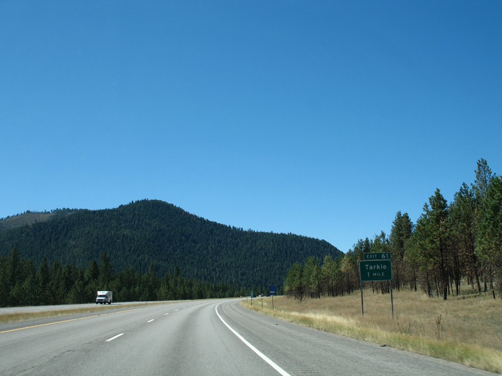
Interstate 90 turns northerly again parallel to the Clark Fork river from Tarkio (Exit 61) to Superior.
09/01/06
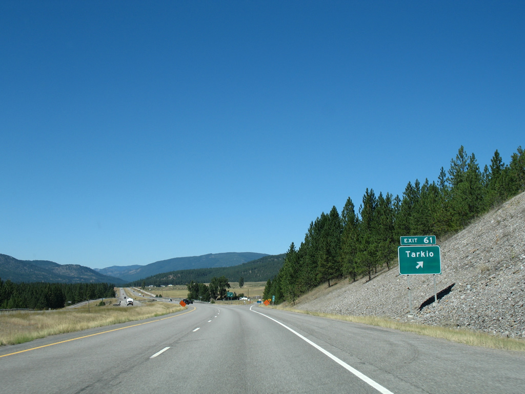
River Gorge Road north and Tarkio Loop west tie into the diamond interchange (Exit 61) at Tarkio. Tarkio is an old Chicago, Milwaukee, St. Paul and Pacific Railroad siding.
09/01/06
Mullan Road East (old U.S. 10), seen next to this reassurance marker, parallels Interstate 90 west to near Quartz Flat.
09/01/06
Superior is nestled in a valley 15 miles to the northwest by Thompson Peak.
09/01/06
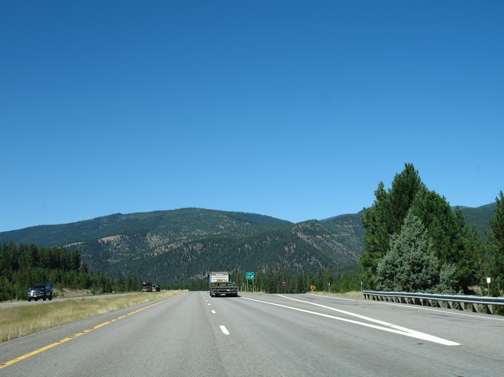
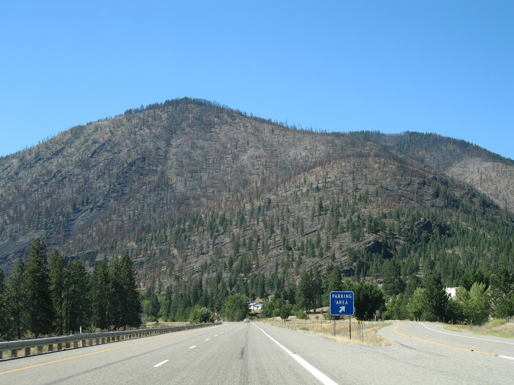
The second to last rest area of Interstate 90 west lies two miles ahead near Quartz Flat.
09/01/06
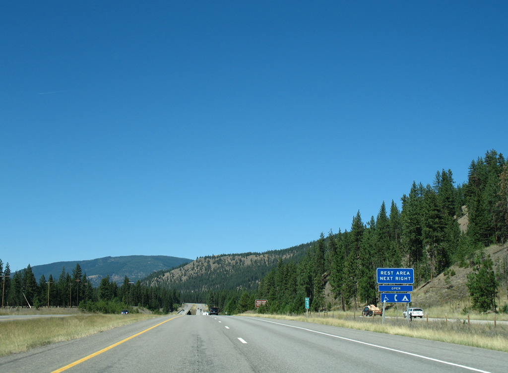
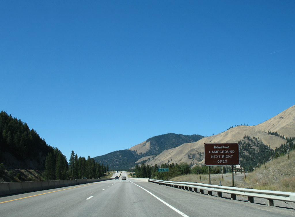
The forthcoming rest area includes access to the Quartz Flat Campground of Lolo National Forest.
09/01/06
A pair of 1967-built bridges span the Clark Fork river for Interstate 90 ahead of Quartz Flat. Mullan Road (old U.S. 10) stays on the east side of the waterway to the Forest Grove Fishing Access area.
09/01/06
Westbound at the Quartz Flat rest area and campground facility, which includes an access road below I-90.
09/01/06
Interstate 90 bends northwest and spans a Montana Rail Link line and Meadow Creek.
09/01/06

Exit 55 joins Interstate 90 with Lozeau Crossover Road near the old railroad sidings of Westfall and Lozeau in one half mile.
09/01/06
Quartz Road stems south from Lozeau Crossover Road near Exit 55 for the old Northern Pacific Railroad siding of Quartz. Lozeau Crossover Road meanders east from Interstate 90 across the Clark Fork river to Mullan Road at Second Creek Road by Lozeau.
09/01/06
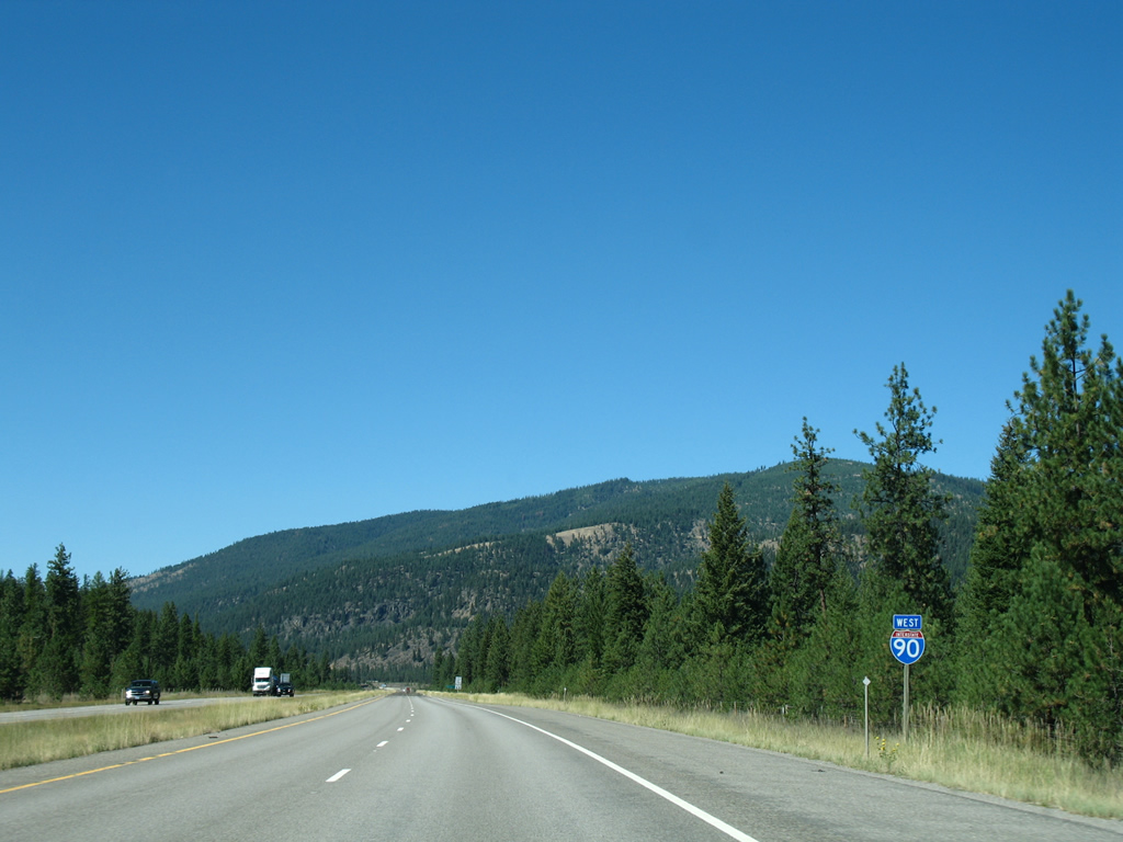
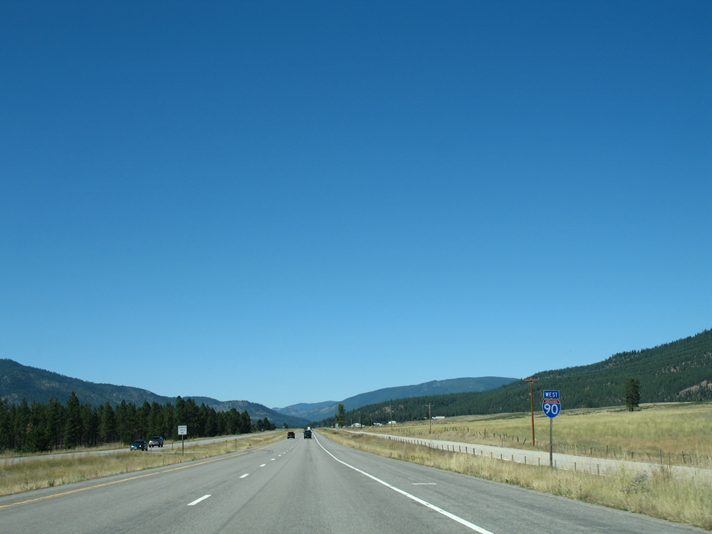
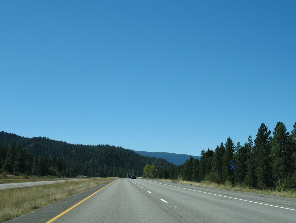
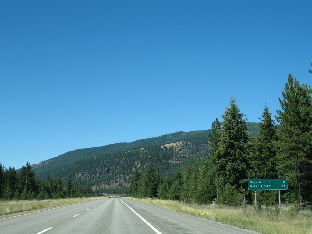
Passing by Westfall, Interstate 90 is now eight miles out from Superior and 118 miles away from Coeur d'Alene, Idaho.
09/01/06
The parallel Montana Rail Link switches sides with Interstate 90 at Westfall. The line follows the original Northern Pacific Railroad into Superior.
09/01/06
A pair of shoulder less 1967-built bridges carry Interstate 90 motorists across the Clark Fork just north of Westfall.
09/01/06
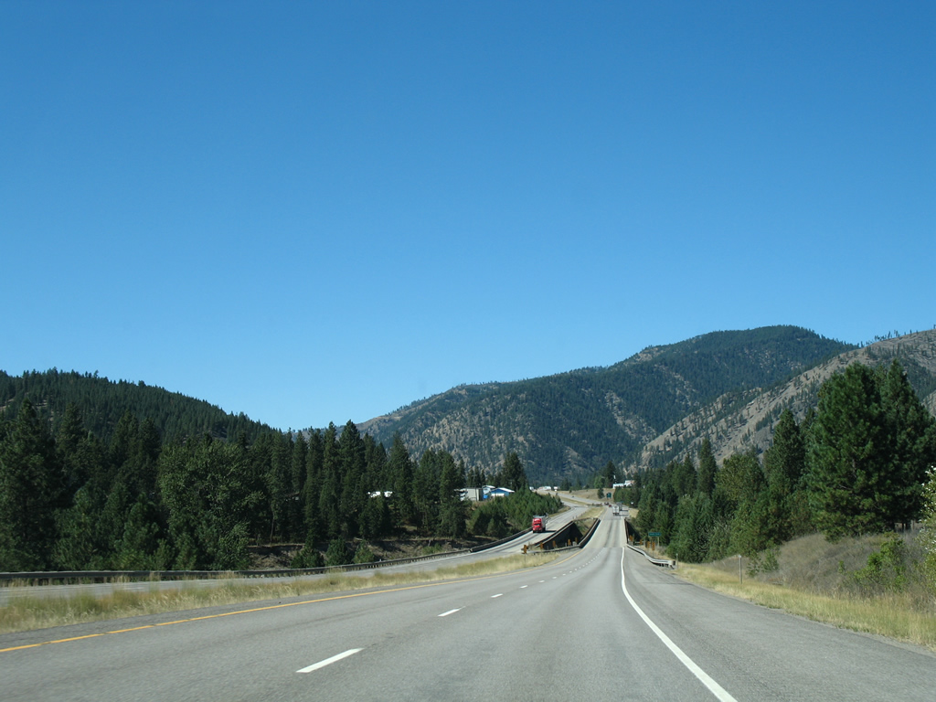
Interstate 90 traverses a wide valley northeast of Chimney Rock on the approach to Superior. Old U.S. 10 (Mullan Road) and Mineral County Airport lie east of I-90 along this stretch.
09/01/06
Nearing Superior, Interstate 90 and Clark Fork river cross paths once more.
09/01/06
The bridges over the Clark Fork outside Superior were built in 1960 and 1966 respectively. Both were reconstructed in 2010-11, which included the removal of the original guard rails pictured here.
09/01/06
Exit 47 is the lone interchange joining Interstate 90 with the town of Superior, meeting the freeway at the diamond interchange with S-257 (Diamond Match Road) north and River Street south. S-257 spurs 5.77 miles southward to the Trout Creek area of Lolo National Forest.
09/01/06
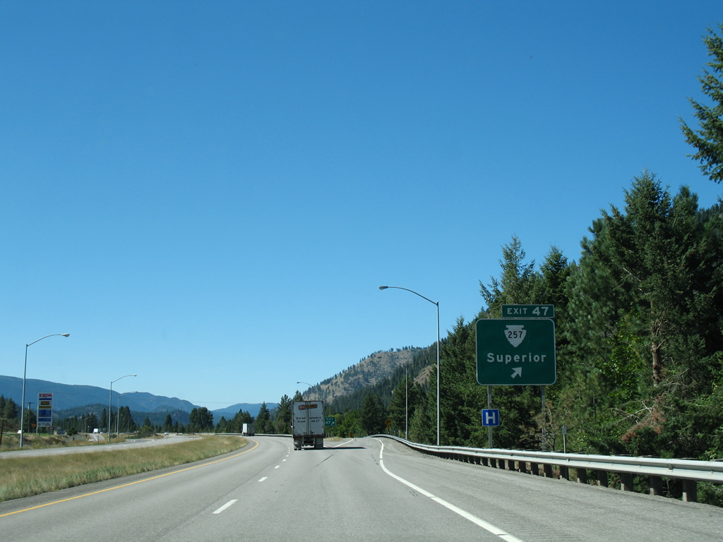
Exit 47 connects Interstate 90 west with adjacent 4th Street east of River Street and S-257 south. River Street bisects the Superior business district northward to Mullan Road.
09/01/06
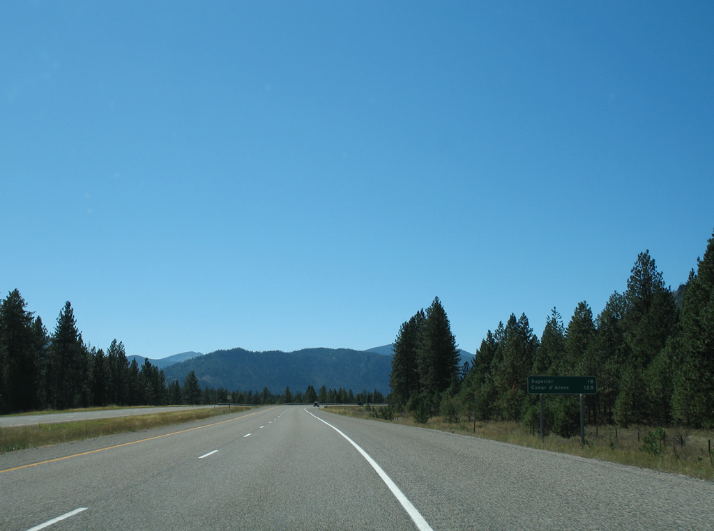
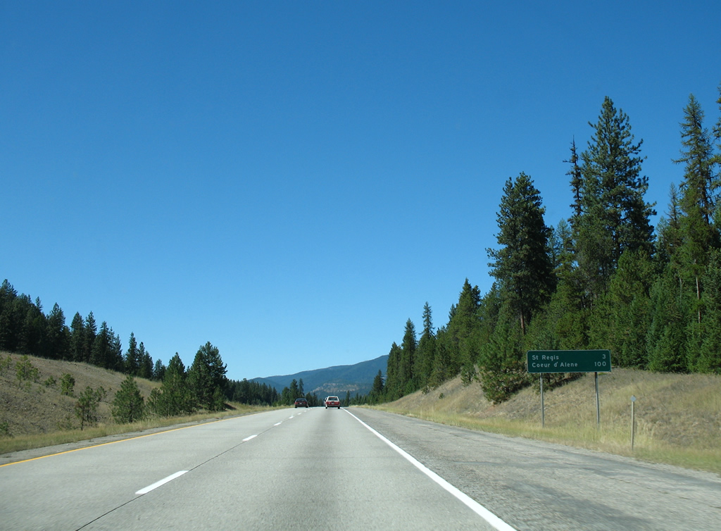
St. Regis, an unincorporated community of around 300, lies 13 miles to the northwest of Superior. Coeur d'Alene is 109 miles away.
09/01/06
Interstate 90 parallels Southside Road, the Montana Rail Link and Choo Choo Lane / Tami Drive on the exit of Superior.
09/01/06
Interstate 90 shifts from west of the Clark Fork river to east of it outside of Superior. The westbound 1960 bridge is slightly longer than its eastbound 1976-built component.
09/01/06
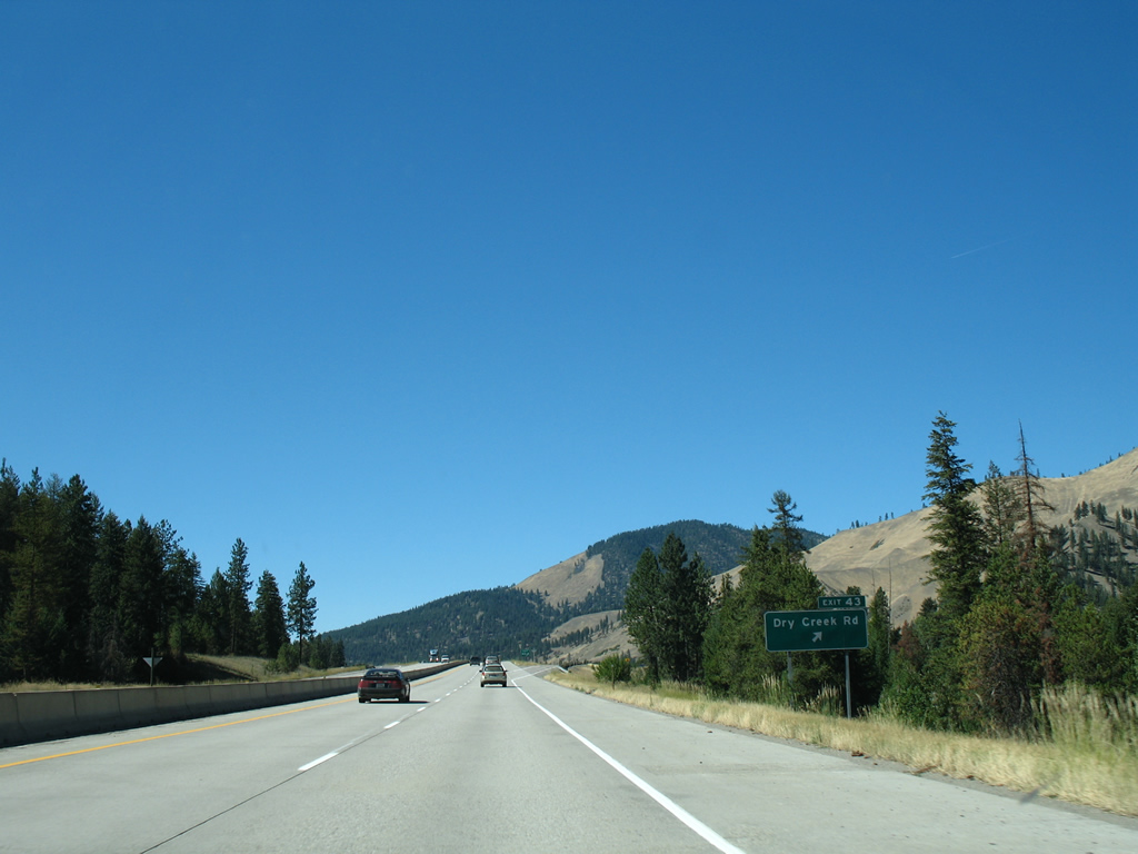
Southside Road continues out from Superior to reconvene with Interstate 90 at the Dry Creek Road diamond interchange (Exit 43) in one mile. Dry Creek Road meanders southwest from nearby through a valley between Marble Point and Sheep Mountain.
09/01/06
An abandoned stretch of old U.S. 10 appears as Interstate 90 shifts back to the west of Clark Fork on 1982 and 1984 bridges.
09/01/06
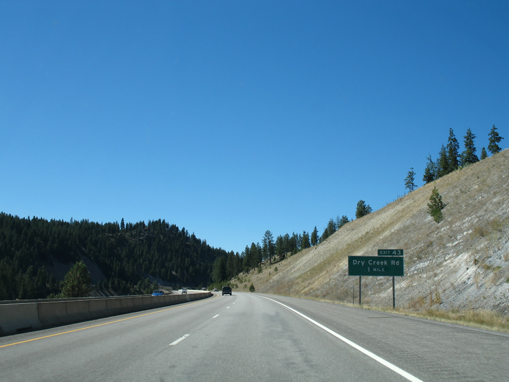
Exit 43 leaves Interstate 90 west for Southside Road south to Dry Creek Road and north to Old U.S. 10 (Sloway Frontage Road). Old U.S. 10 hugs the hillside along the north banks of the Clark Fork river through La Vista to the Sloway Campground.
09/01/06
Eight miles east of St. Regis and 103 miles from Coeur d'Alene along Interstate 90 west near Spring Gulch.
09/01/06
Southside Road accompanies the north side of Interstate 90 by cattle land west of Exit 43.
09/01/06
An unnamed hill rises to 4,944 feet to the west of Bald Hill (elevation 5,151 feet) to the north of both Interstate 90 and old U.S. 10 (Sloway Frontage Road).
09/01/06
Another pair of 1982/84 bridges carry motorists over the Clark Fork river adjacent to Sloway Campground.
09/01/06
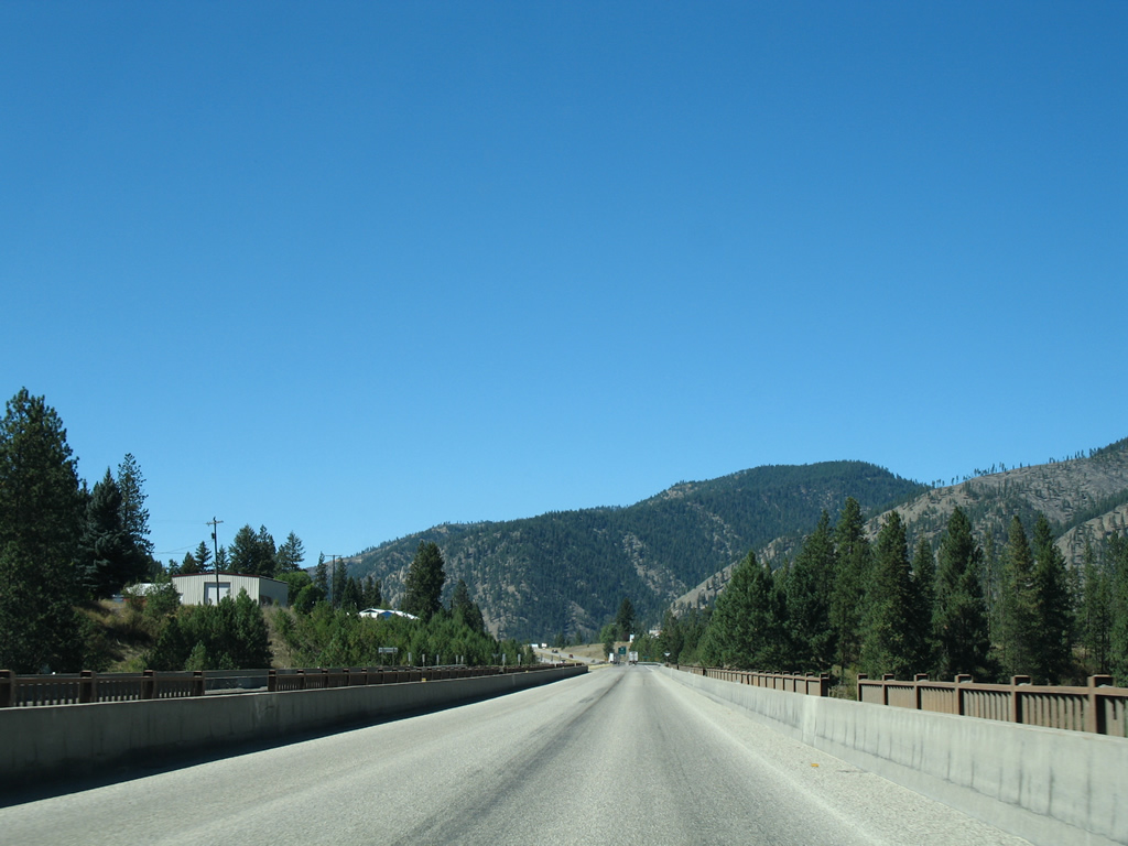
20 feet of elevation separate the westbound lanes from the lower eastbound roadway as Interstate 90 straddles the hillside north of both old U.S. 10 and the Clark Fork north of Marble Point.
09/01/06
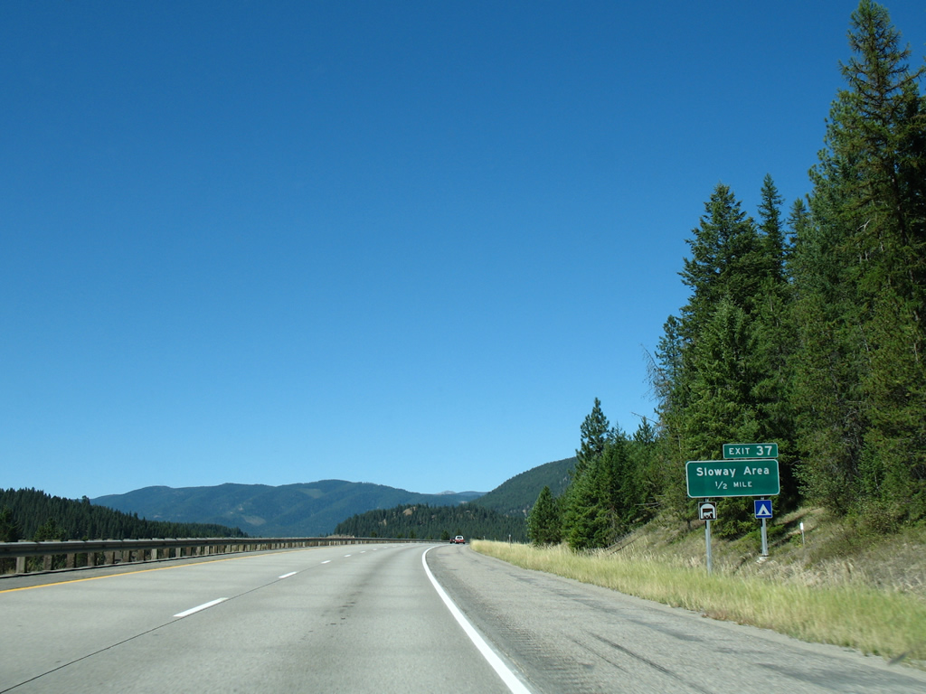
Sloway Frontage Road (old U.S. 10) curves north with Interstate 90 to meet the freeway at Exit 37 in one mile.
09/01/06
Passing through the diamond interchange (Exit 37) with Sloway Frontage Road on Interstate 90 west. I-90 directly overlays old U.S. 10 from here northwest to just south of the Clark Fork at St. Regis.
09/01/06
Reassurance marker posted as Interstate 90 briefly separates east of Red Hill.
09/01/06
St. Regis is just three miles ahead as Interstate 90 motorists finally reach the 100 mile mark from Coeur d'Alene, Idaho.
09/01/06
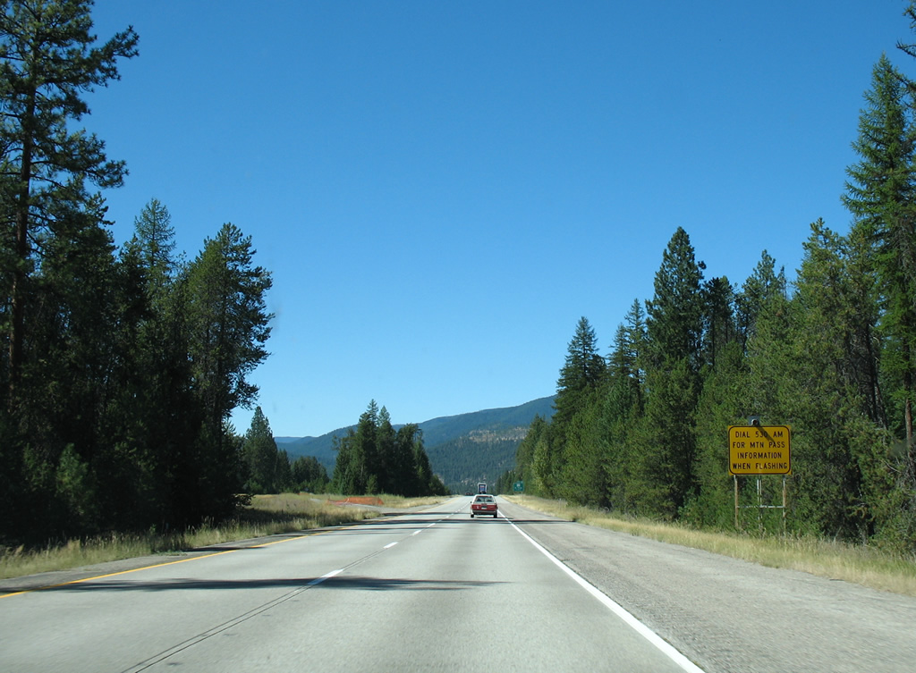
St. Regis is the last service center for Interstate 90 travelers before Lookout Pass into Shoshone County, Idaho. Motorists are advised to tune into 530 AM for pass information during periods of inclement weather.
09/01/06

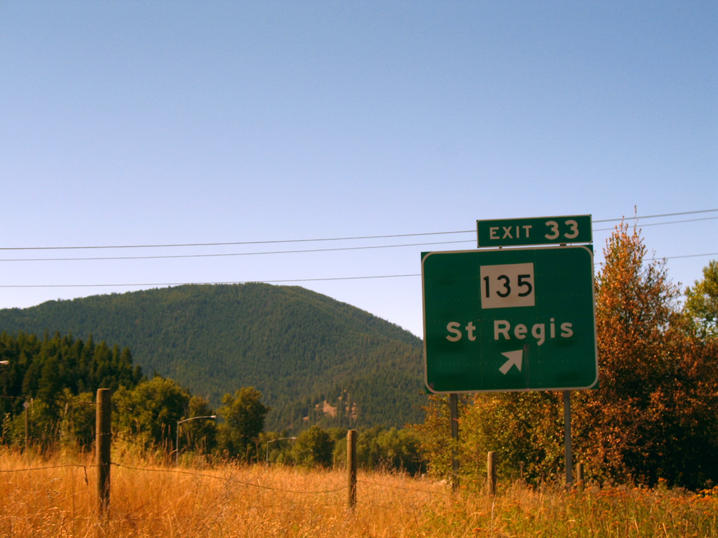
MT 135 joins Interstate 90 with St. Regis at a diamond interchange (Exit 33) in one mile. The state highway doubles as the St. Regis-Paradise Scenic Byway.
09/01/06
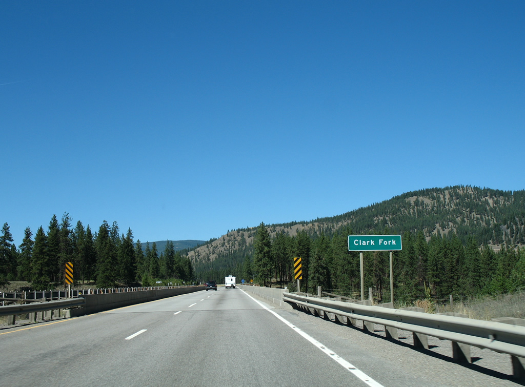
Old Highway 10 East emerges alongside Interstate 90 from Fourmile Creek Road into St. Regis as Interstate 90 crosses the Clark Fork river for the final time on a 1982-built bridge. The Clark Fork winds northeast to Paradise and then northwest to Thompson Falls.
09/01/06
MT 135, a 21.55 mile route, begins at Interstate 90 and leads east to MT 200 near Paradise.
09/01/06

A number of traveler services are available to I-90 drivers at the adjacent crossroads of MT 135 and Old Highway 10 / Mullan Gulch Road in St. Regis. MT 135 is signed simply to "Junction MT 200" as no towns exist along the byway.
09/01/06
Photo Credits:
- AARoads: 09/01/06
Connect with:
Page Updated Sunday July 14, 2013.