
Interstate 90
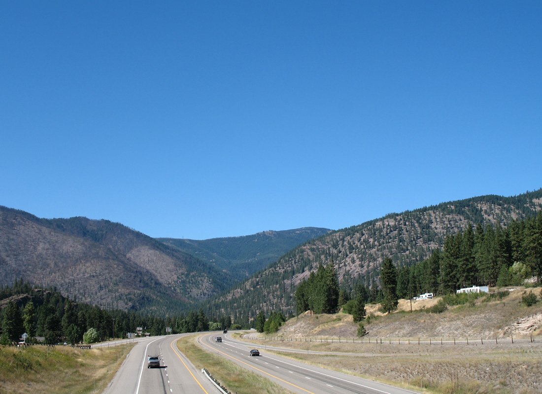
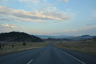
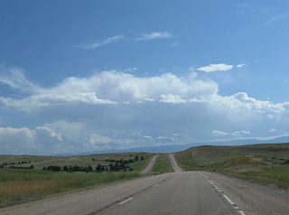
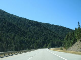
Interstate 90 leading away from the west end of Business Loop I-90 and Alberton toward Plateau. - 09/01/2006
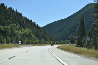
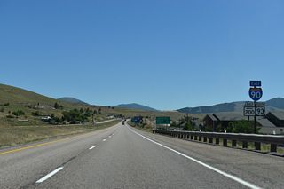
Entering the state at Lookout Pass in the Bitteroot Mountains, Interstate 90 follows the original course of U.S. 10 southeast to St. Regis and Missoula. The freeway combines with U.S. 93 and MT 200 through Missoula, and with U.S. 12 from Montana's second largest city eastward to Garrison. Interstate 90 hooks southward from Garrison to Butte and Silver Bow County, where the freeway shares a 7.556 mile overlap with Interstate 15. I-15 joins Butte with Dillon and Pocatello, Idaho to the south and the capital city of Helena and Great Falls to the north.
East from Butte, Interstate 90 remains along the former U.S. 10 corridor to Whitehall, Three Forks and Bozeman. U.S. 191 joins the route between Bozeman and Big Timber and U.S. 89 for seven miles at Livingston. Continuing east along the Yellowstone River, Interstate 90 reaches Columbus, Laurel and Billings, where I-94 splits and follows old U.S. 10 to Miles City, Glendive and Bismark, North Dakota. Interstate 90 enters Montana's largest city with U.S. 212 and exits it with both U.S. 212 and U.S. 87 to Hardin and the Crow Indian Reservation.
Interstate 90 turns south from Hardin, remaining cosigned with U.S. 87 to Sheridan and Buffalo, Wyoming while U.S. 212 peels away from the freeway south of Crow Agency for Lame Deer and Broadus. I-90 concludes a 552.364 mile cross-state route south of Aberdeen through hilly grasslands.
Interstate 90 Montana Guides
East
Lookout Pass to St. Regis - 66 photos

Superior to Frenchtown - 67 photos
Missoula to Clinton - 49 photos

Drummond to Garrison - 64 photos
Deer Lodge to Anaconda - 59 photos

I-15/90 East - Butte - 27 photos
Butte to Whitehall - 57 photos
Three Forks to Bozeman - 52 photos
Billings to Hardin - 61 photos
Hardin to Wyoming - 65 photos
West
Wyoming to Hardin - 57 photos
Missoula to Alberton - 53 photos
Alberton to St. Regis - 60 photos
St. Regis to Lookout Pass - 53 photos
Business Routes

Business Loop I-90 - Alberton - 32 photos
Business Loop I-90 - Missoula - 40 photos
Business Loop I-90 - Deer Lodge - 25 photos
Business Loop I-90 - Hardin - 38 photos
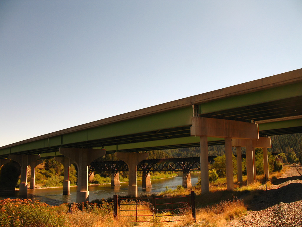
Waters of the Clark Fork river flow northward below Interstate 90 at St. Regis. Old U.S. 10 parallels this bridge to the north while an abandoned railroad bridge remains in place to the south. - 09/01/2006

Portions of U.S. 10 upgraded to Interstate 90 - 1968 Gousha map of Montana.
Three sections of Interstate 90 were opened in October 1966. They included portions in Billings, Manhattan and Bozeman and between Butte and Whitehall. Opening of I-90 across Homestate Pass represented the second Interstate crossing of the Continental Divide in the U.S (Montana Highway Department, 1967).
A trailblazer directs motorists from Broadway Street (former U.S. 10-93 and MT 200) westbound onto Airway Boulevard for I-90 by Missoula International Airport (MSO). Traffic lights were added to this intersection by 2012.
09/01/06
Airway Boulevard comprises a half mile arterial linking Broadway Street with I-90 at Exit 99. Midway between the two is Expressway, an arterial serving a number of traveler services and residential developments. The at-grade intersection with Airway Boulevard was converted into a roundabout in 2011.
09/01/06
Airway Boulevard splits into ramps for Interstate 90 east into Missoula and west to Coeur d'Alene, Idaho. The freeway doubles as U.S. 93 between the succeeding exits west and east, and also MT 200 from Exit 93 to 109 and Bonner.
09/01/06
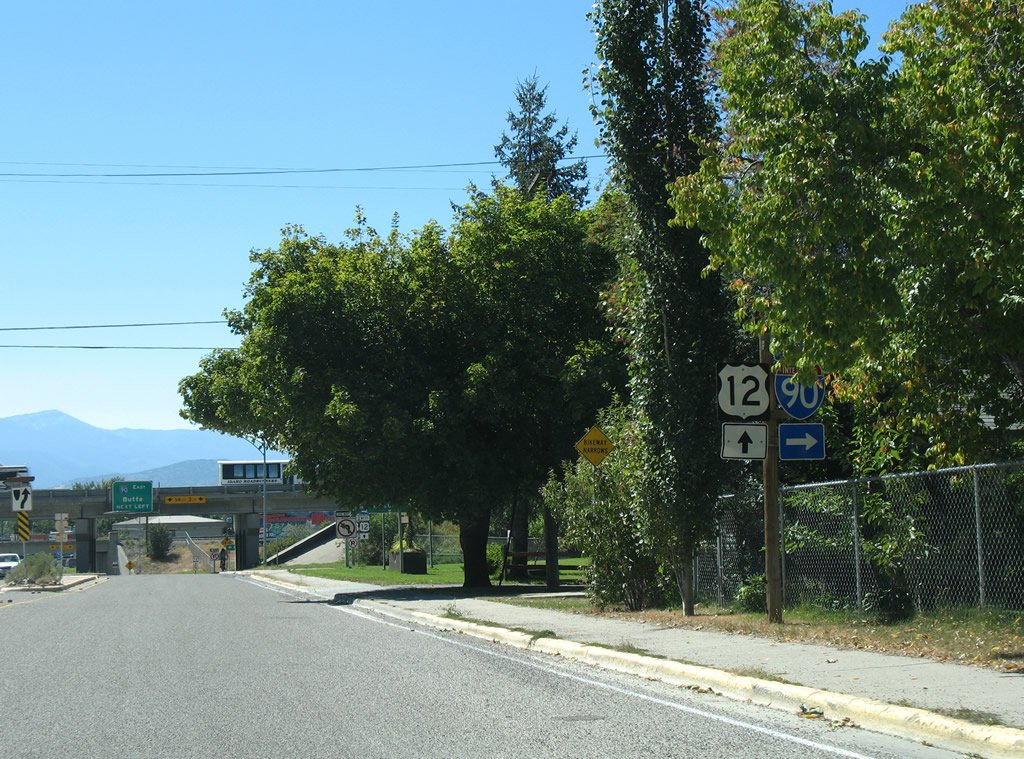
Van Buren Street meets I-90 at the west split with U.S. 12 (Exit 105) in Missoula. U.S. 12 exits the freeway for Van Buren Street south to Broadway Street west as the freeway circumvents the city center to Orange Street and U.S. 93 (Reserve Street).
09/01/06
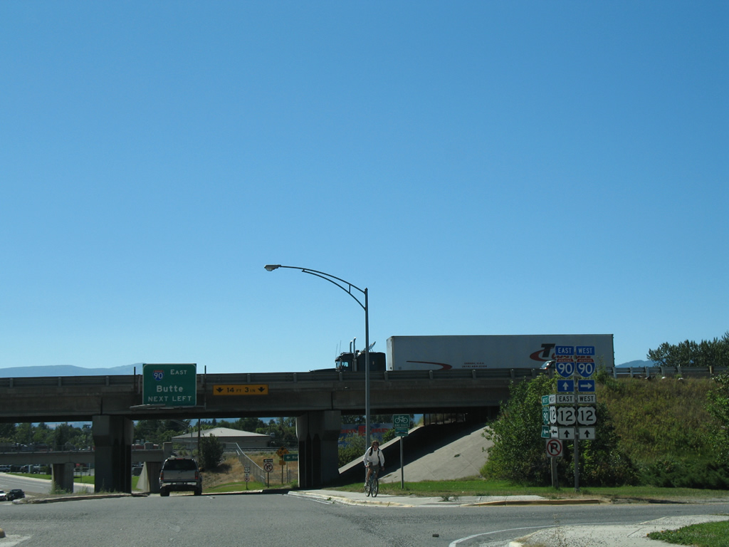
I-90/MT 200 continue toward Missoula International Airport (MSO) and a split 12 miles to the west. I-90 continues from there to Coeur d'Alene, Idaho.
09/01/06
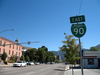
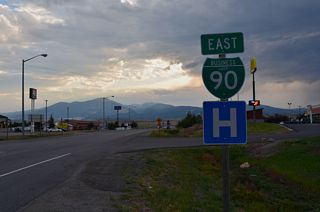
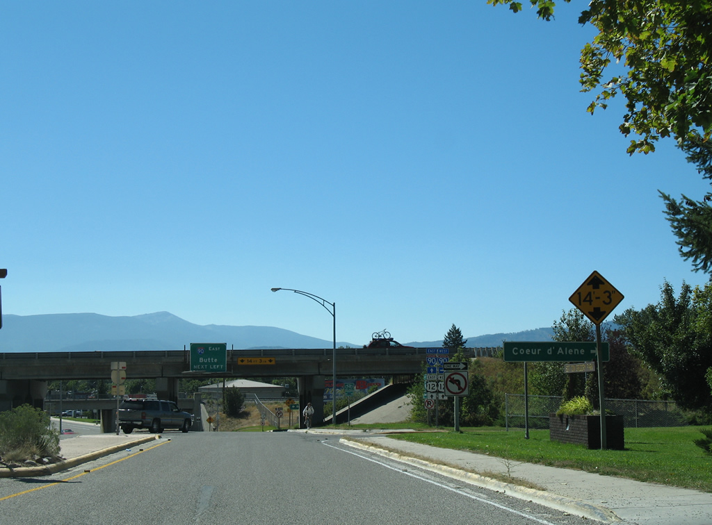
The westbound entrance ramp for I-90/MT 200 departs Van Buren Street as U.S. 12 turns south from the off-ramp at Exit 105. Van Buren Street also carries Business Loop I-90 west to Broadway Street (former U.S. 10/MT 200).
09/01/06

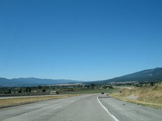
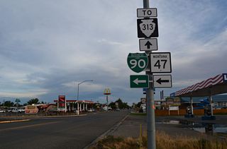
S-276 (Browns Gulch Road) south meets I-15/90 at Rocker in the consolidated city-county of Butte.
07/07/16

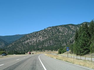
I-15/90 continue east from S-276 and Rocker to Interstate 115 for the Butte city center.
07/07/16
References:
Montana Highway Department. (1967). The Center line: Montana Highway Commission. Helena, MT.
Photo Credits:
- AARoads: 09/01/06
- Alex Nitzman: 07/07/16
Connect with:
Page Updated Thursday January 29, 2026.