
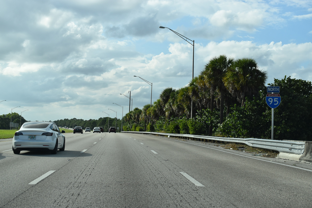
Interstate 95 North - Jupiter to Port St Lucie
 North
North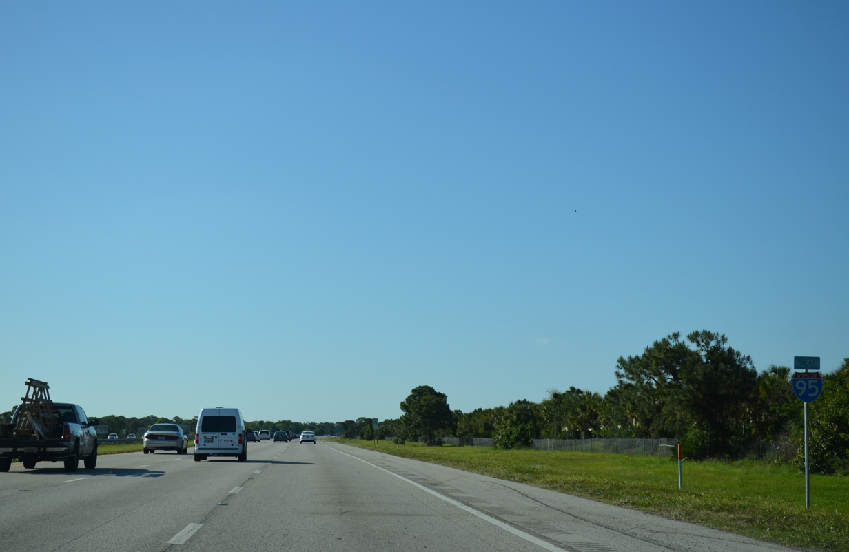
Interstate 95 enters an entirely rural area northwest beyond Jupiter. The six lane freeway passes by Jonathan Dickinson State Park and the Loxahatchee River Natural Area over the course of 3.5 miles.
04/01/14
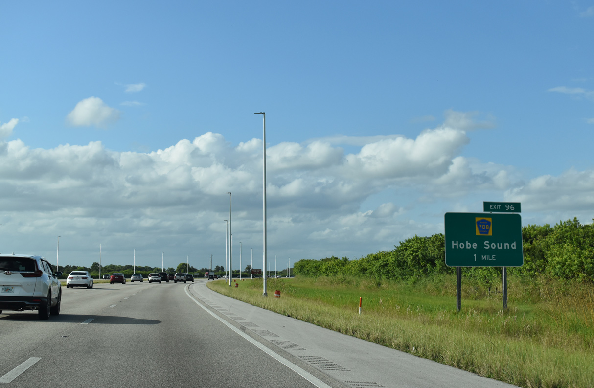
The unincorporated community of Hobe Sound is served by the next exit in nine miles. Daytona Beach debuts on distance signage at 175 miles away.
10/17/21
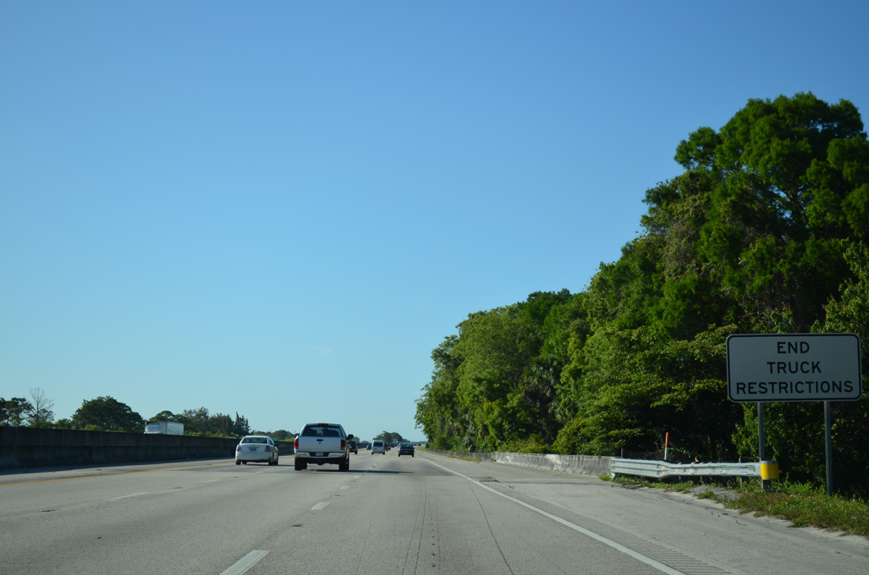
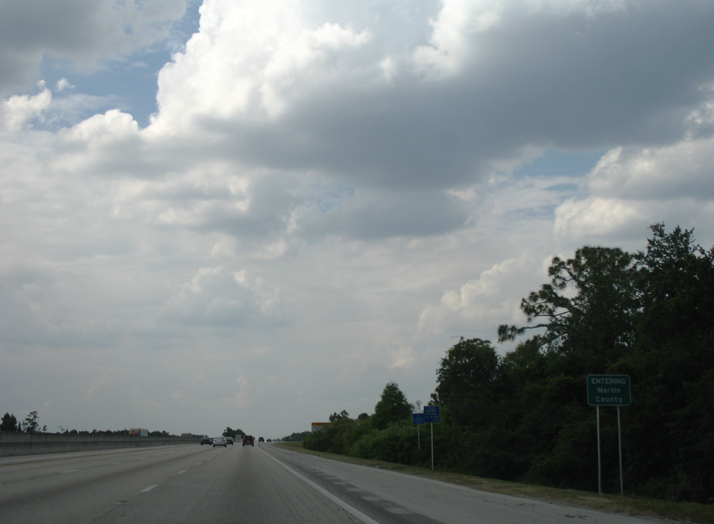
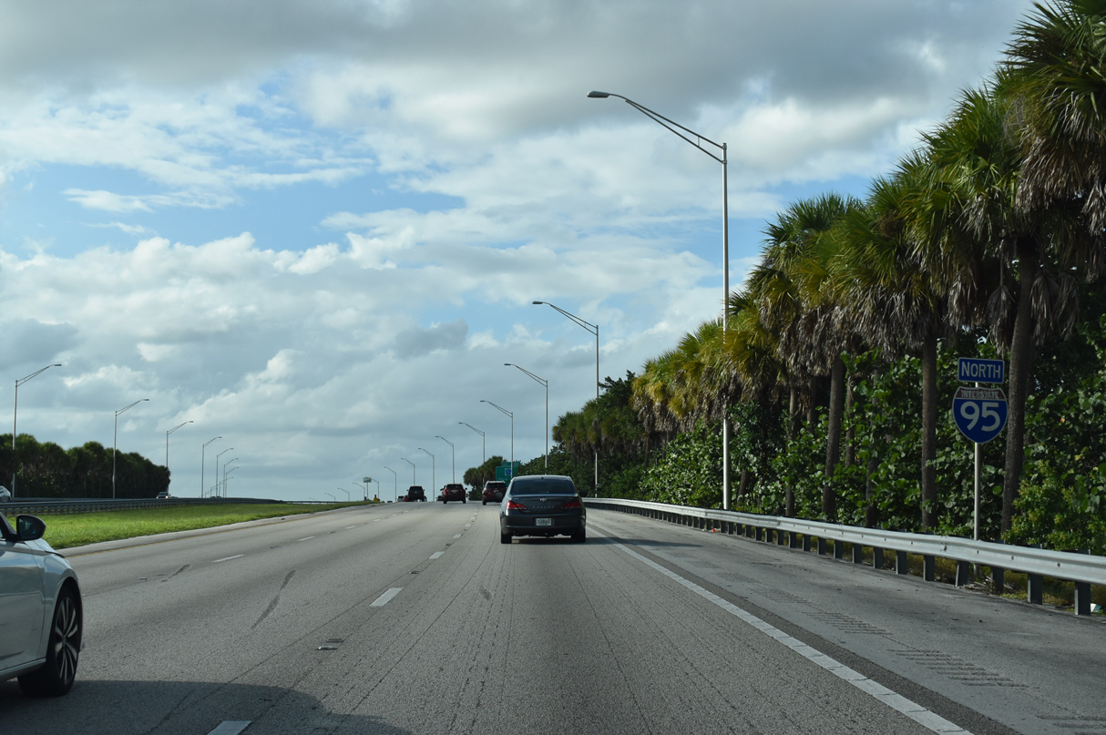
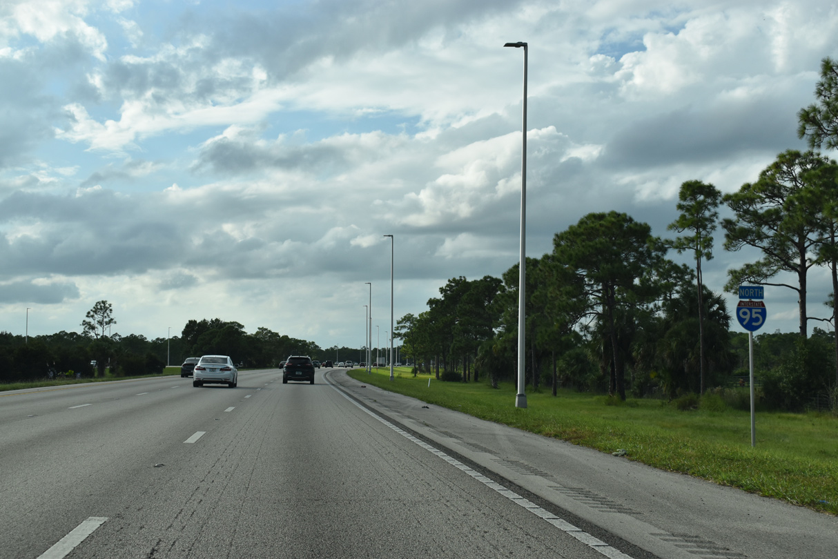
A left lane restriction on trucks was in place for all miles of Interstate 95 throughout Miami-Dade, Broward and Palm Beach Counties. It ends as the freeway spans a tributary of Cypress Creek and formally crosses the Martin County line.
04/01/14
Interstate 95 traveled 46.02 miles through Palm Beach County. Stretches through Martin, St. Lucie and Indian River Counties are much shorter.
04/20/08
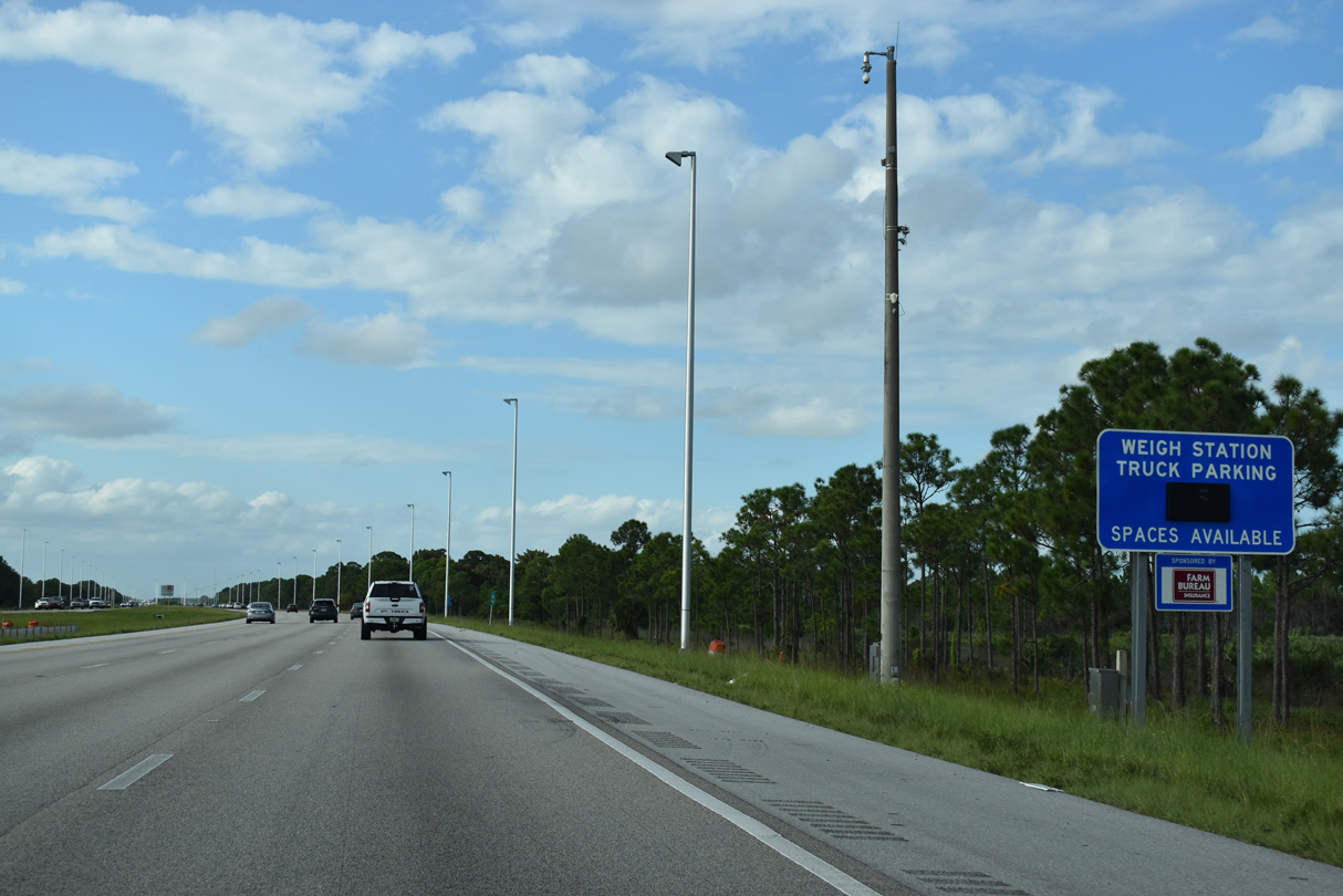
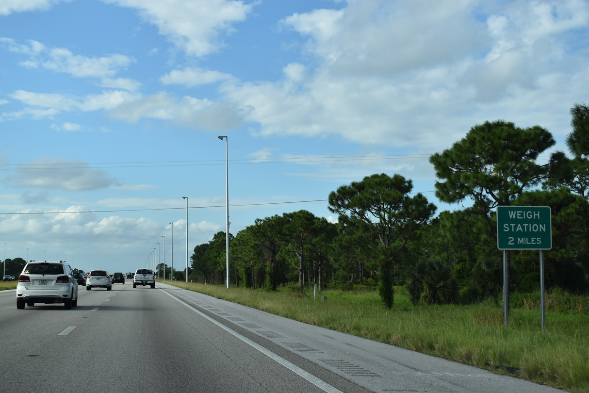
A northbound side truck weigh station is the along Interstate 95 leaving South Florida.
10/17/21
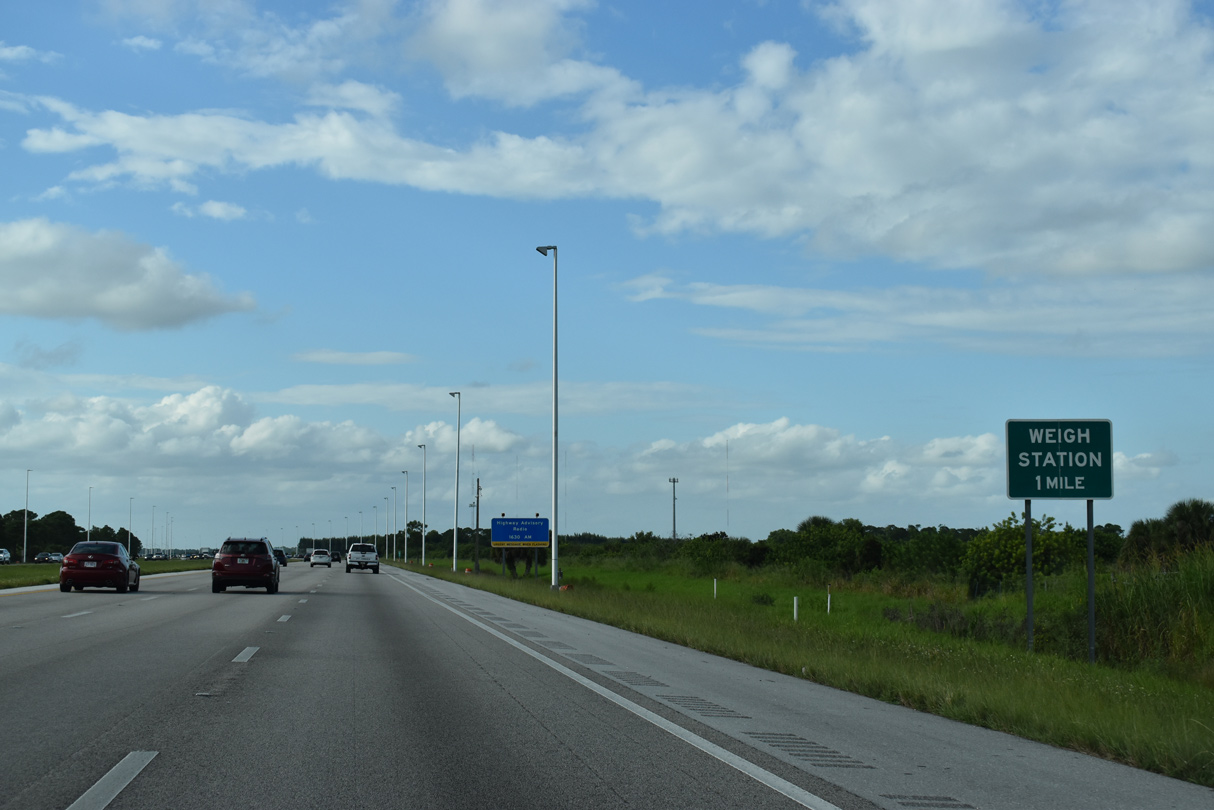
The weigh station lies in a rural area mostly consisting of wetlands.
10/17/21
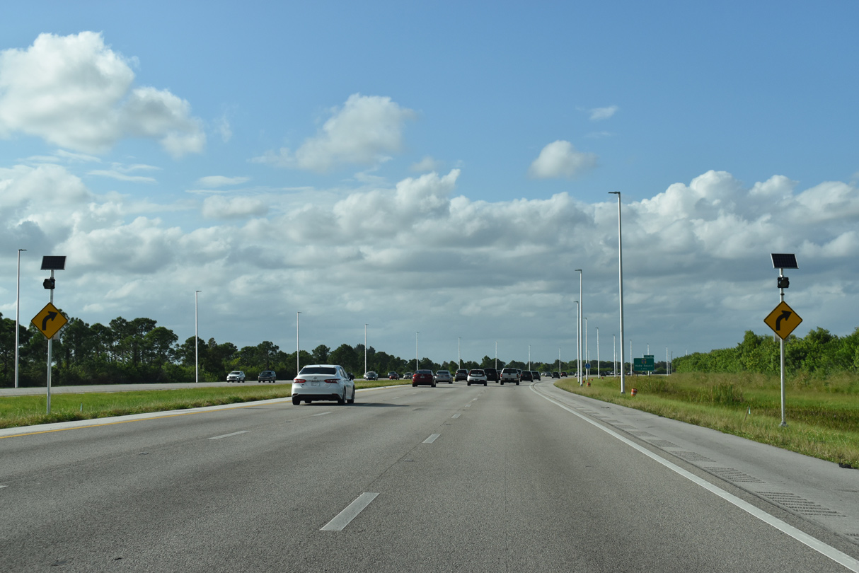
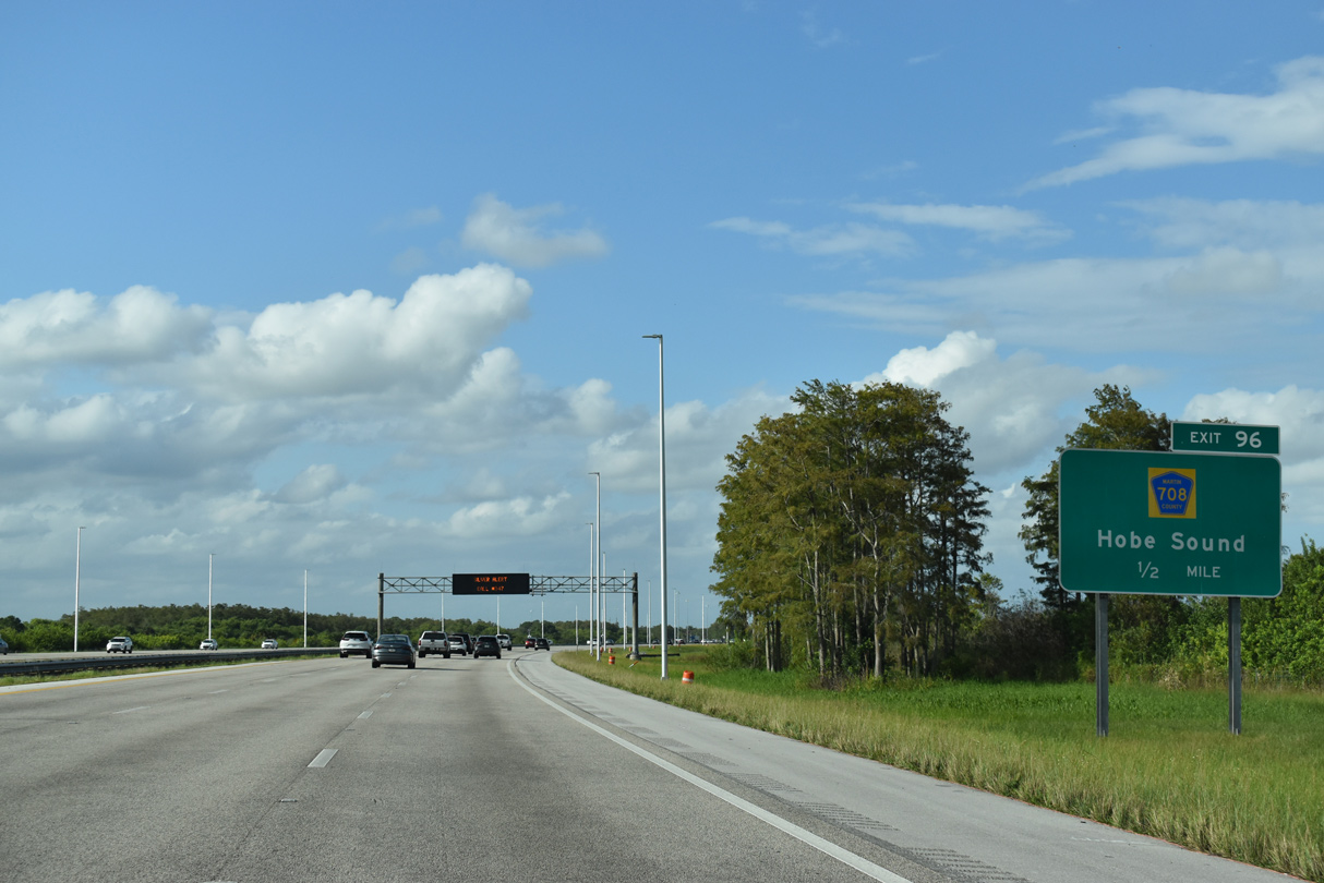
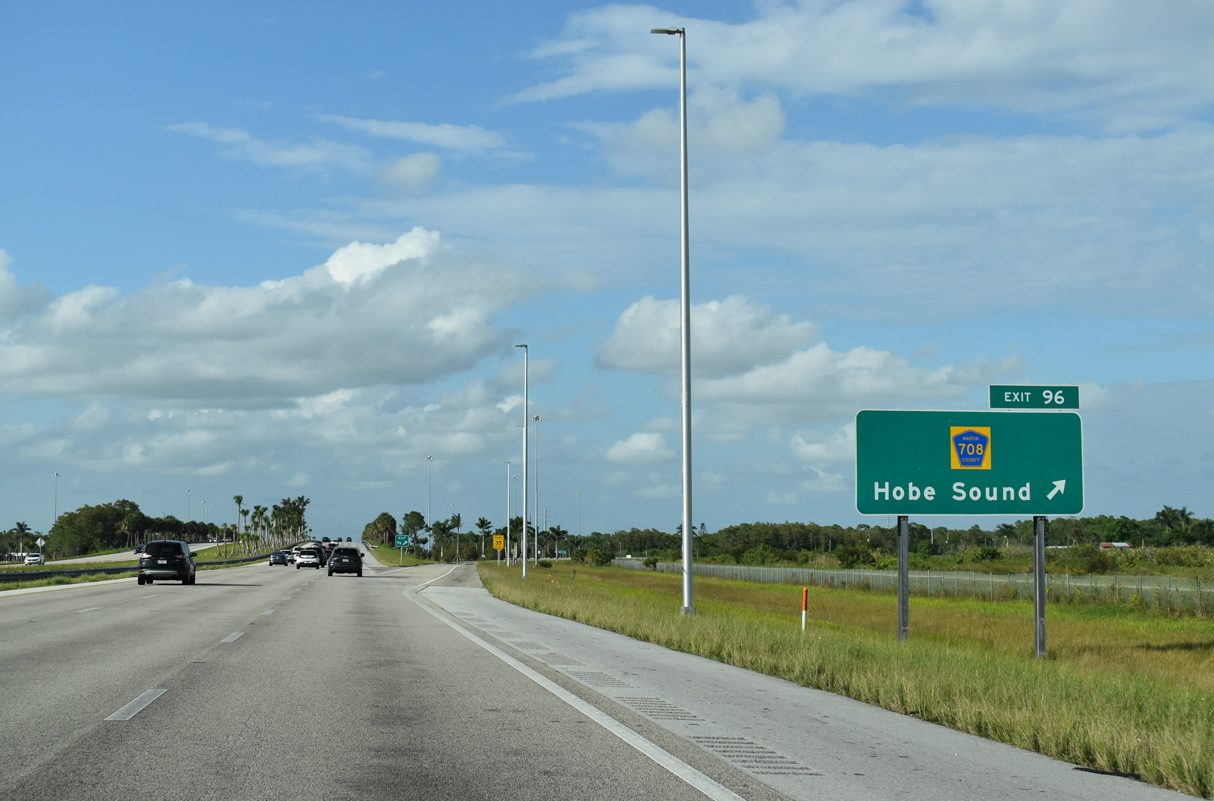
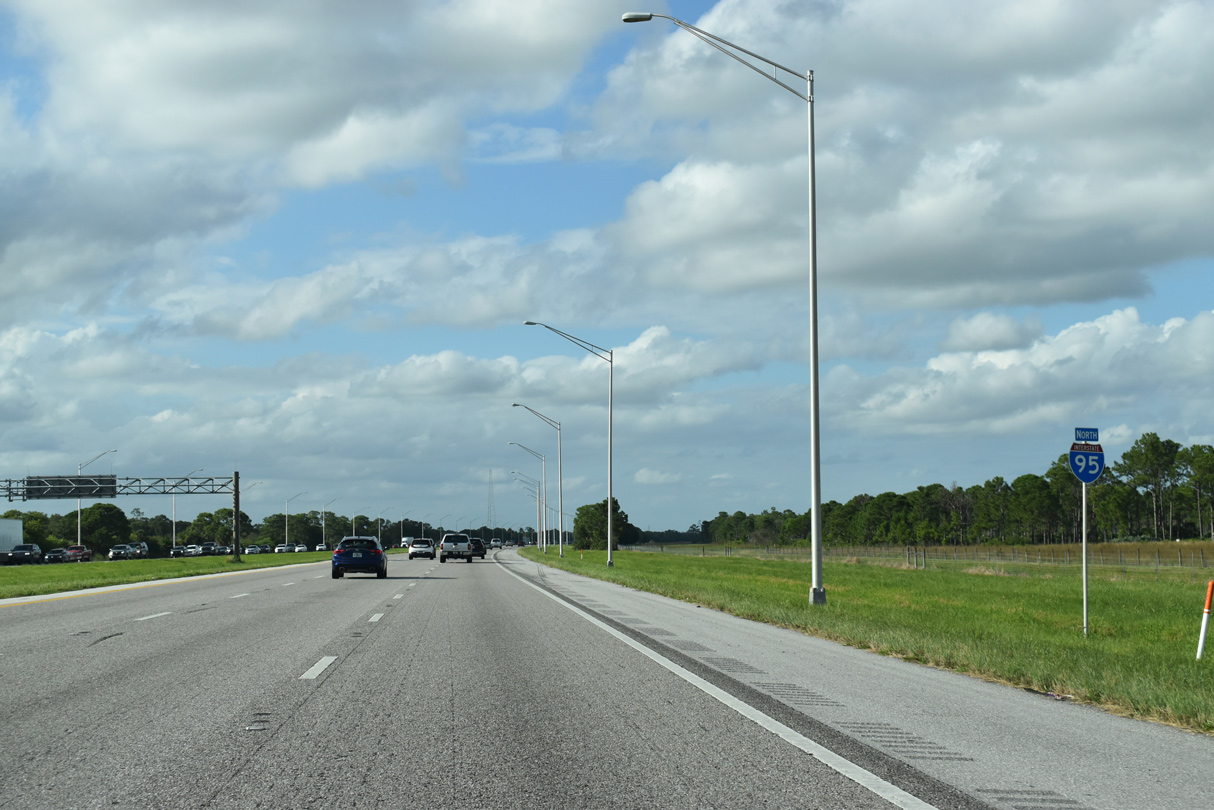
Curving northward, Interstate 95 diverges from the adjacent Florida's Turnpike ahead of Exit 96.
10/17/21
Martin County Road 708 (Bridge Road) comprises a rural route five miles east from SR 76 (Kanner Highway) to the diamond interchange at Exit 96.
10/17/21
East from Exit 96, County Road 708 (Bridge Road) advances another four miles before angling northward into the community of Hobe Sound.
10/17/21
Martin County Road 708 (Bridge Road) runs 11.78 miles east from SR 76 to the intersection of CR A1A (Dixie Highway) and CR 707 east to Jupiter Island.
10/17/21
Interstate 95 remains parallel to Florida's Turnpike northward to the outskirts of Stuart.
04/01/14
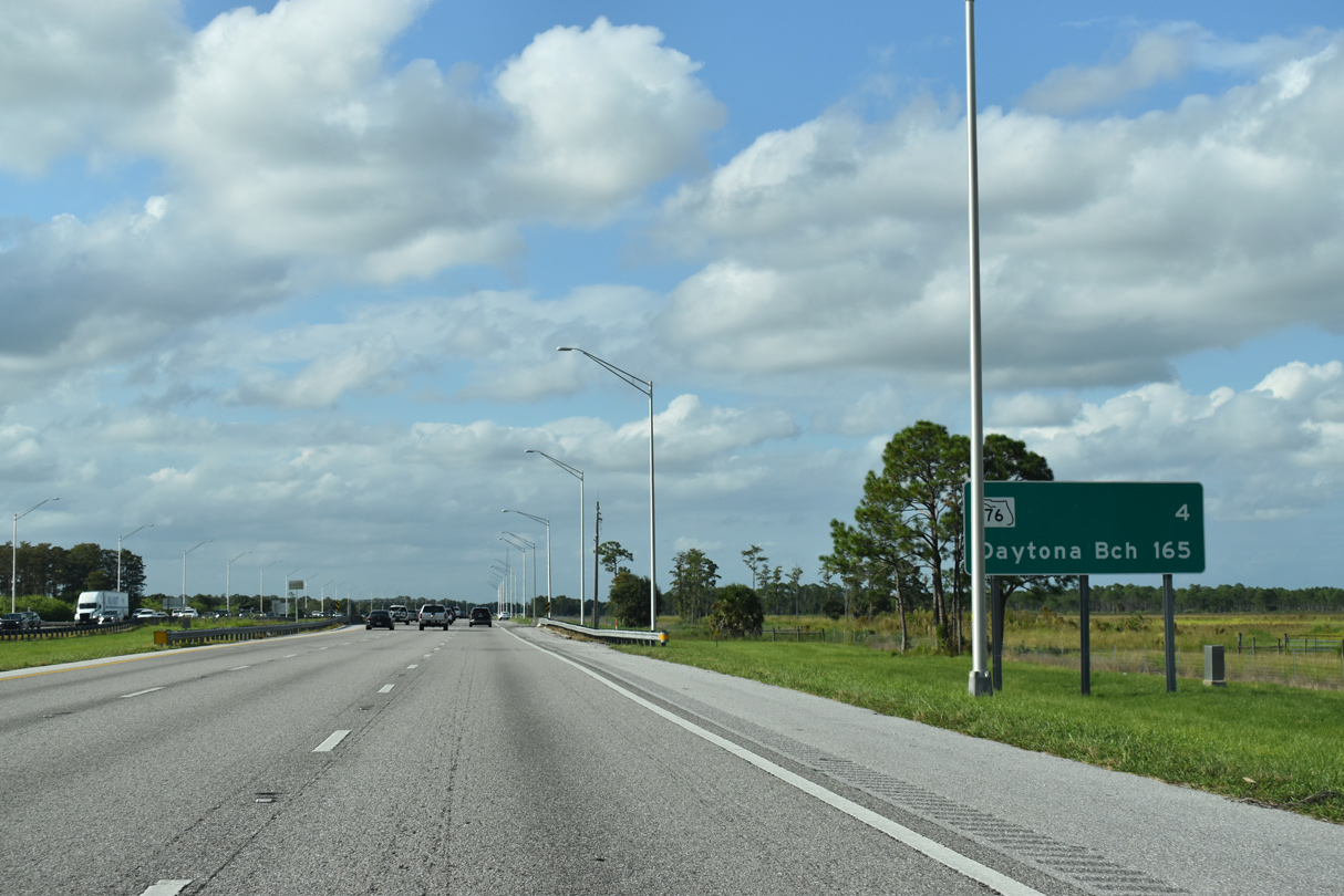
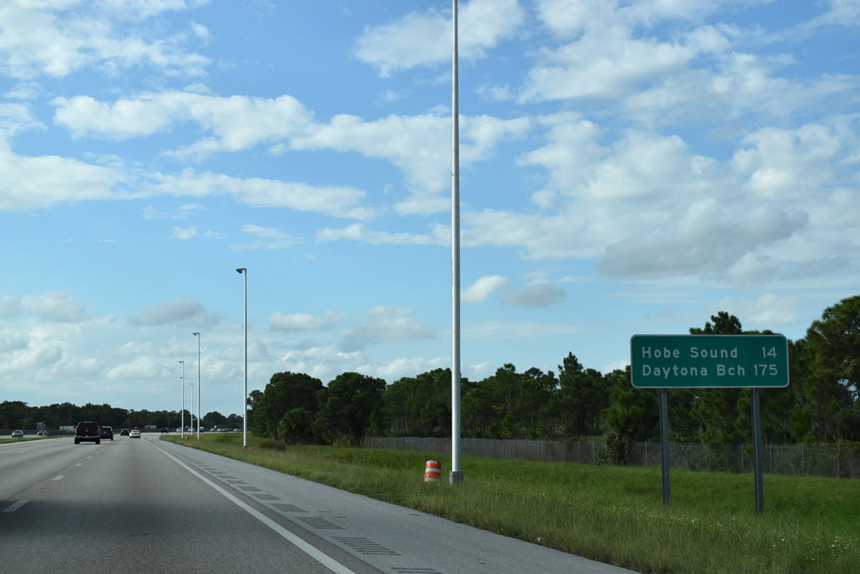
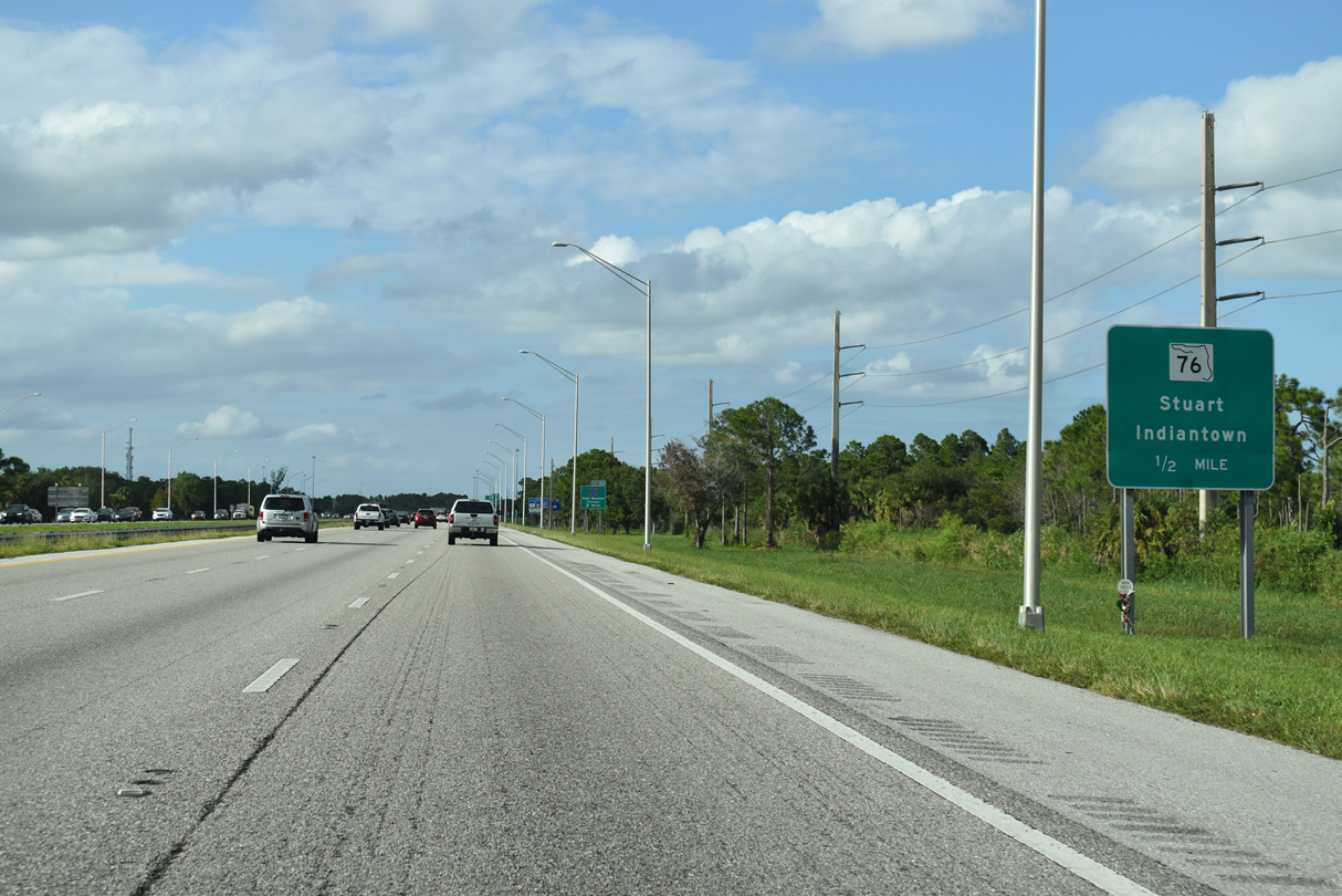
The succeeding exit from Interstate 95 north is with SR 76 in four miles while Daytona Beach is 165 miles away.
10/17/21
A second shield for I-95 stands along the stretch leading to Stuart. Atlantic Ridge Preserve State Park and Halpatiokee Regional Park Conservation Area line the east side of the freeway here.
10/17/21
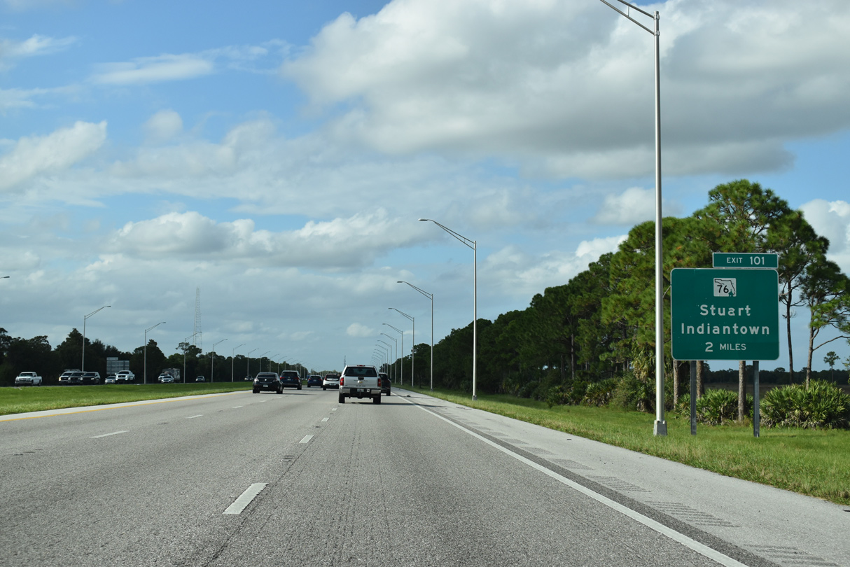
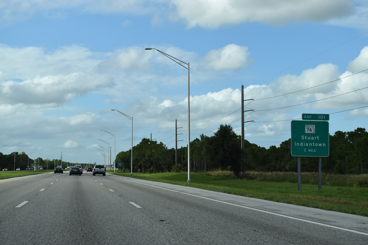
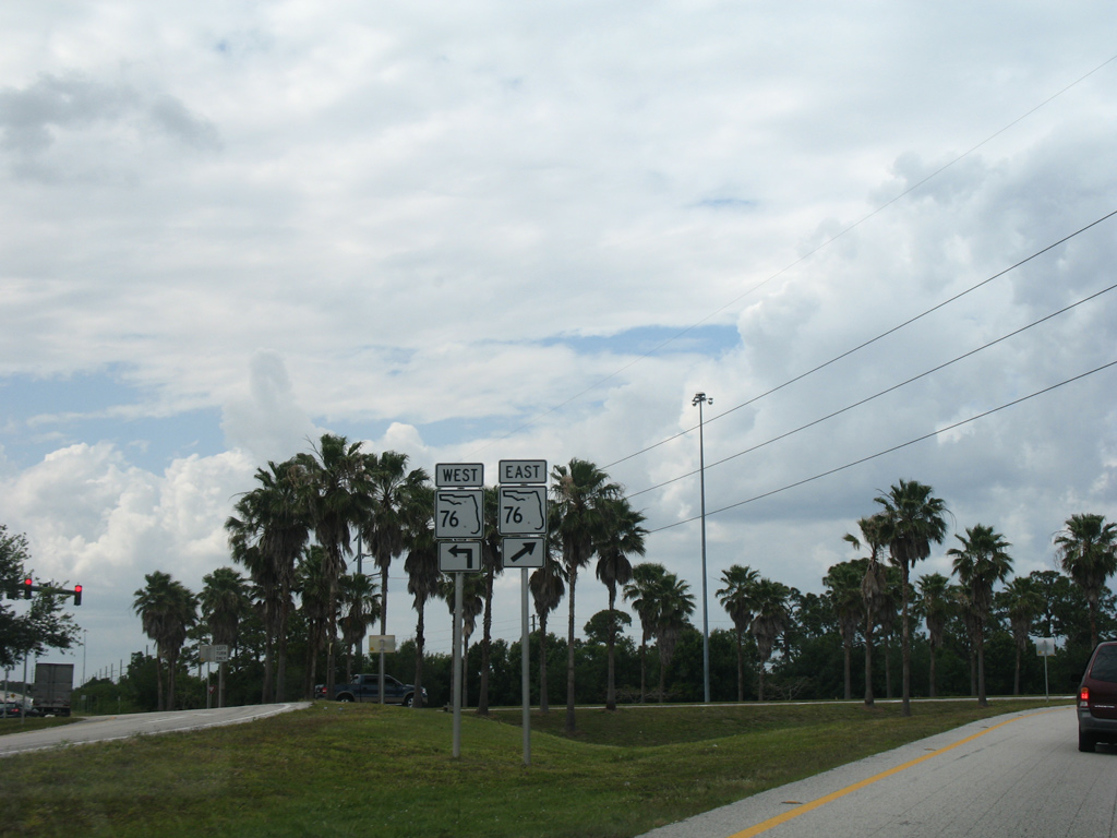
A parclo interchange (Exit 101) joins Interstate 95 with SR 76 in two miles.
10/17/21
SR 76 forms a 31.50 mile arc from U.S. 98-441 by Lake Okeechobee to U.S. 1 in the city of Stuart. Exit 101 links I-95 also with adjacent Halpatiokee Regional Park.
10/17/21
Development surrounds SR 76 (Kanner Highway) southwest to CR 76A. SR 76 expands into a multi lane arterial leading north paralleling the St. Lucie River into Stuart.
10/17/21
A second Stuart exit lies just north of the St. Lucie River with High Meadow Avenue (County Road 713) in two miles.
10/17/21
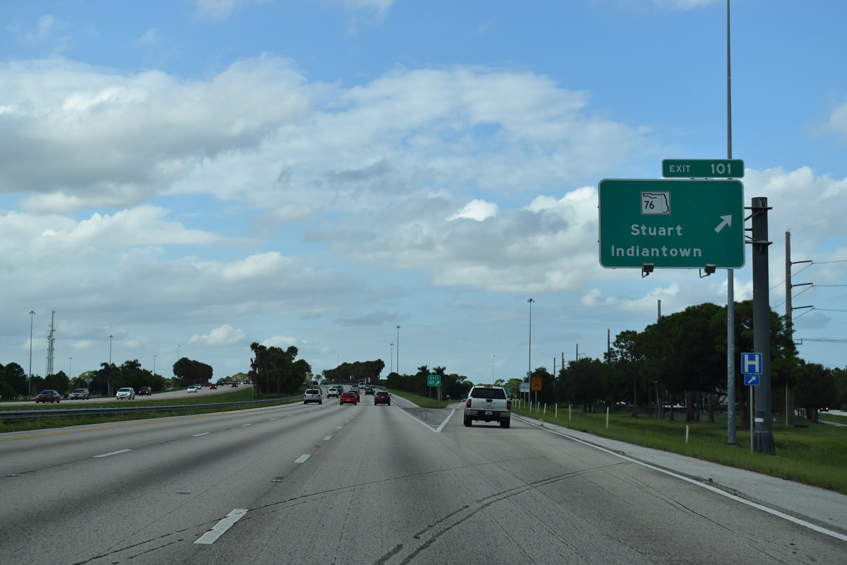
Exit 101 departs I-95 north for SR 76 (Kanner Highway). SR 76 connects with SR 714 east in Stuart to Sewalls Point and SR A1A to Hutchinson Island.
10/17/21
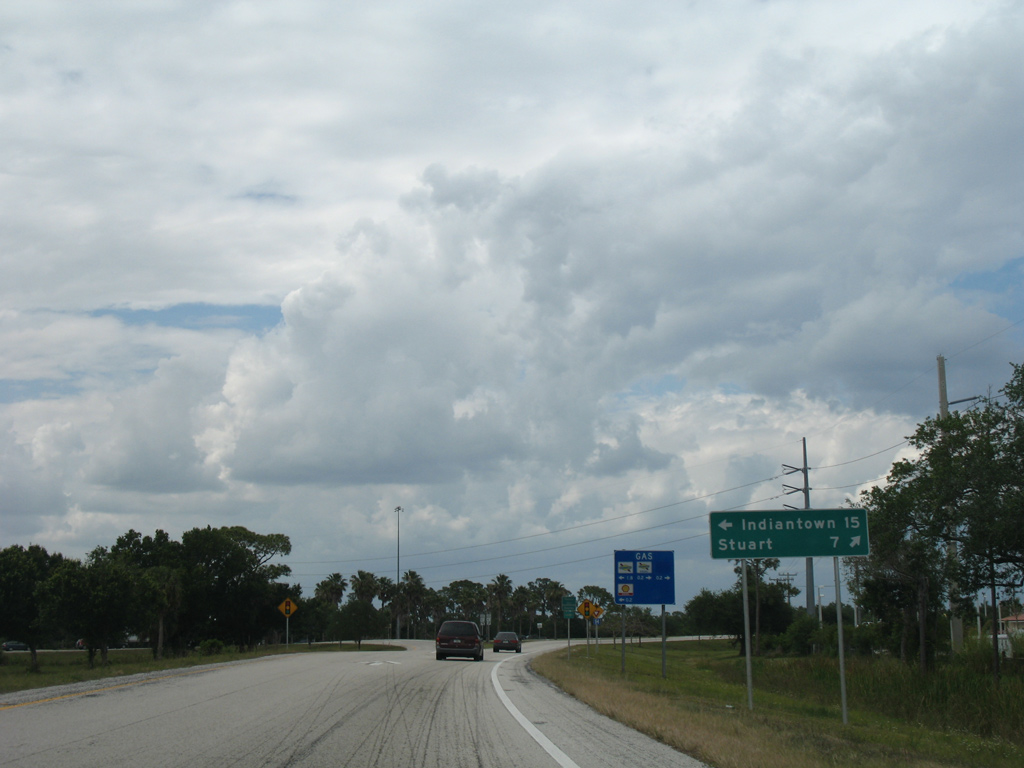
Indiantown lies 15 miles to the west by the crossroads with SR 710 while the Stuart city center is seven miles to the north.
04/20/08
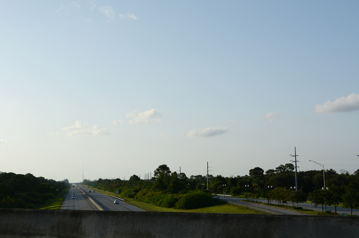
Interstate 95 commences a gradual western turn ahead of St. Lucie Canal. The freeway arcs around Port St. Lucie to Fort Pierce.
10/17/21
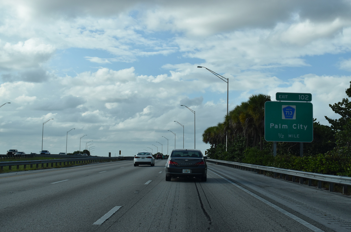
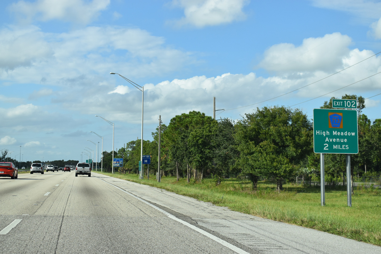
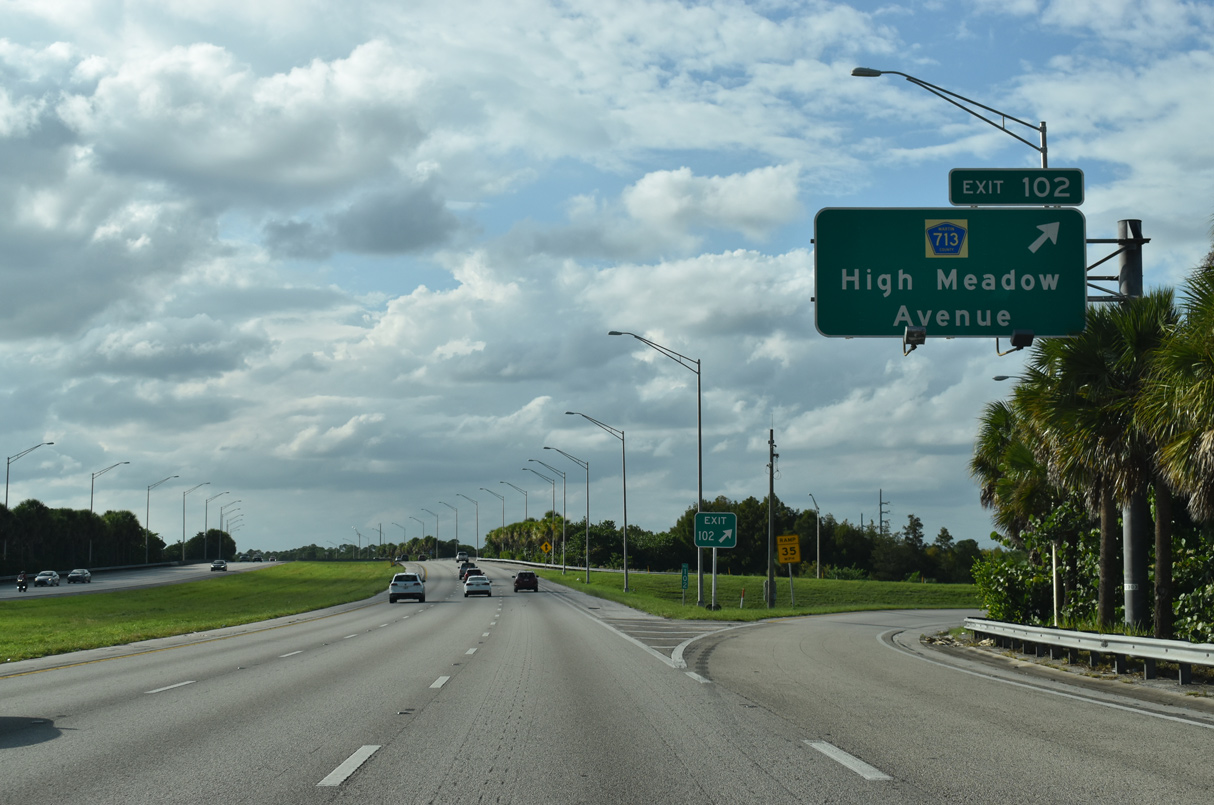
A folded diamond interchange (Exit 102) lies just north of the river with High Meadows Avenue north to Martin Highway (CR 714).
10/17/21

Palm City is an unincorporated community spreading east between Florida's Turnpike and the St. Lucie River East Fork.
10/17/21
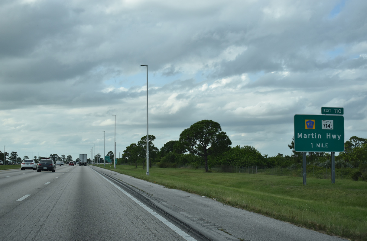
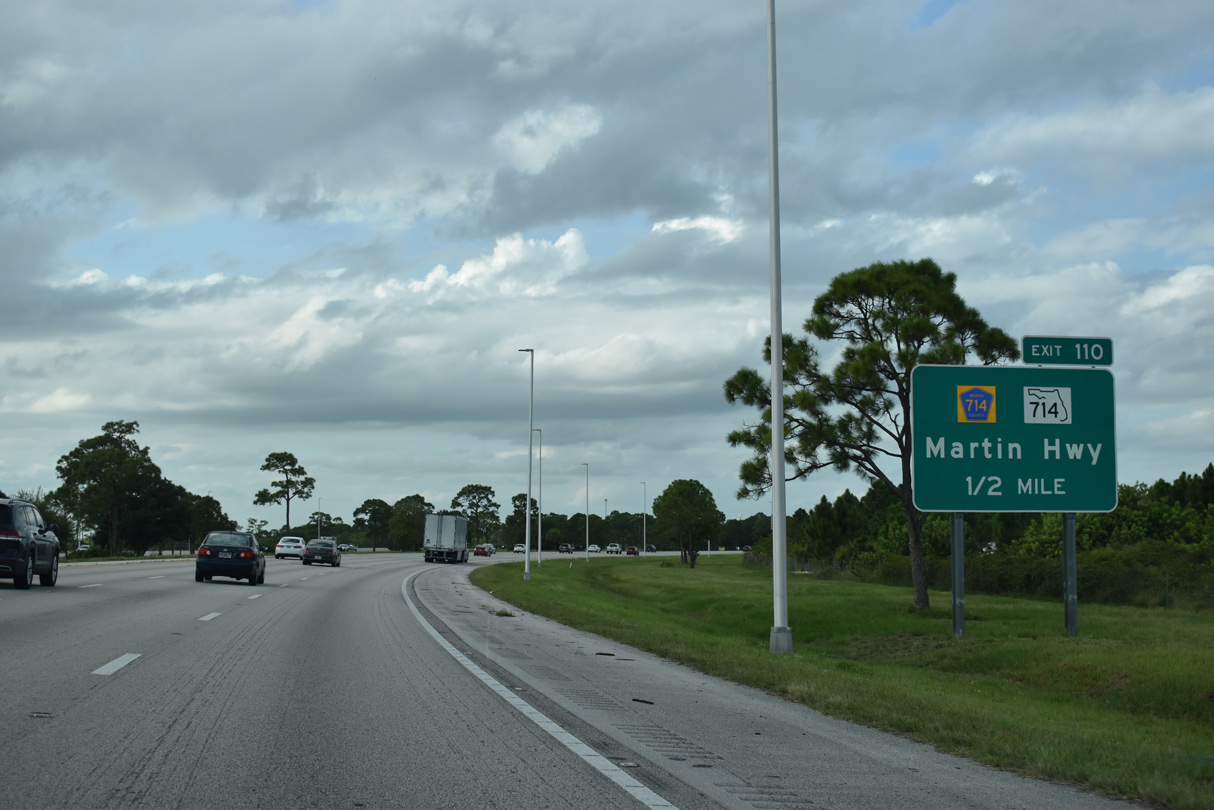
Martin Highway heads west as SR 714 from the Turnpike and Martin Downs Boulevard to I-95 at Exit 110 and east as CR 714 into Palm City.
10/17/21
High Meadow Avenue parallels Florida's Turnpike 4.47 miles northwest from Exit 102 to CR 714 (Martin Highway).
07/27/16
Interstate 95 aims westward for two and a half miles after crossing Florida's Turnpike. The Turnpike and I-95 again cross paths between Exit 126 and 129.
10/17/21
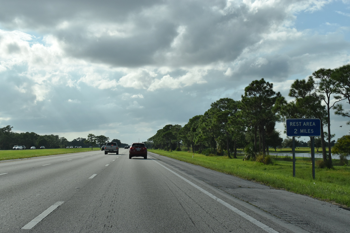
The first rest area for Interstate 95 lines the eight mile exit less stretch west of Stuart.
10/17/21
CR 76A (Citrus Boulevard) spans Interstate 95 one mile east of the Martin County Rest Area.
10/17/21
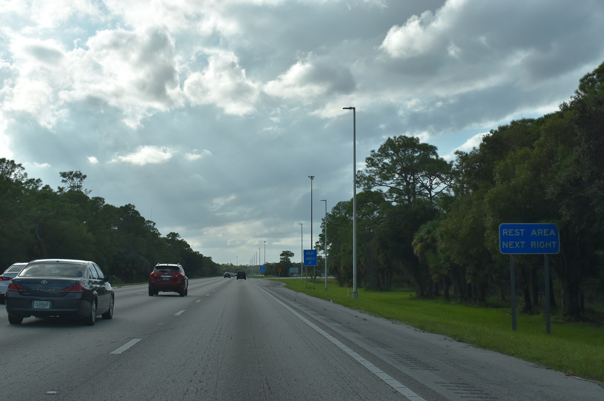
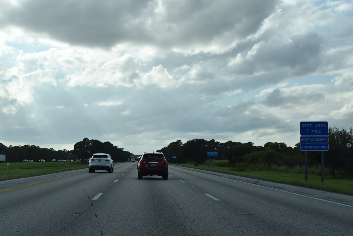
Northbound traffic reaches the Martin County Rest Area. A southbound side facilities lies nearby.
10/17/21
Interstate 95 arcs northwest to Green Ridge.
10/17/21
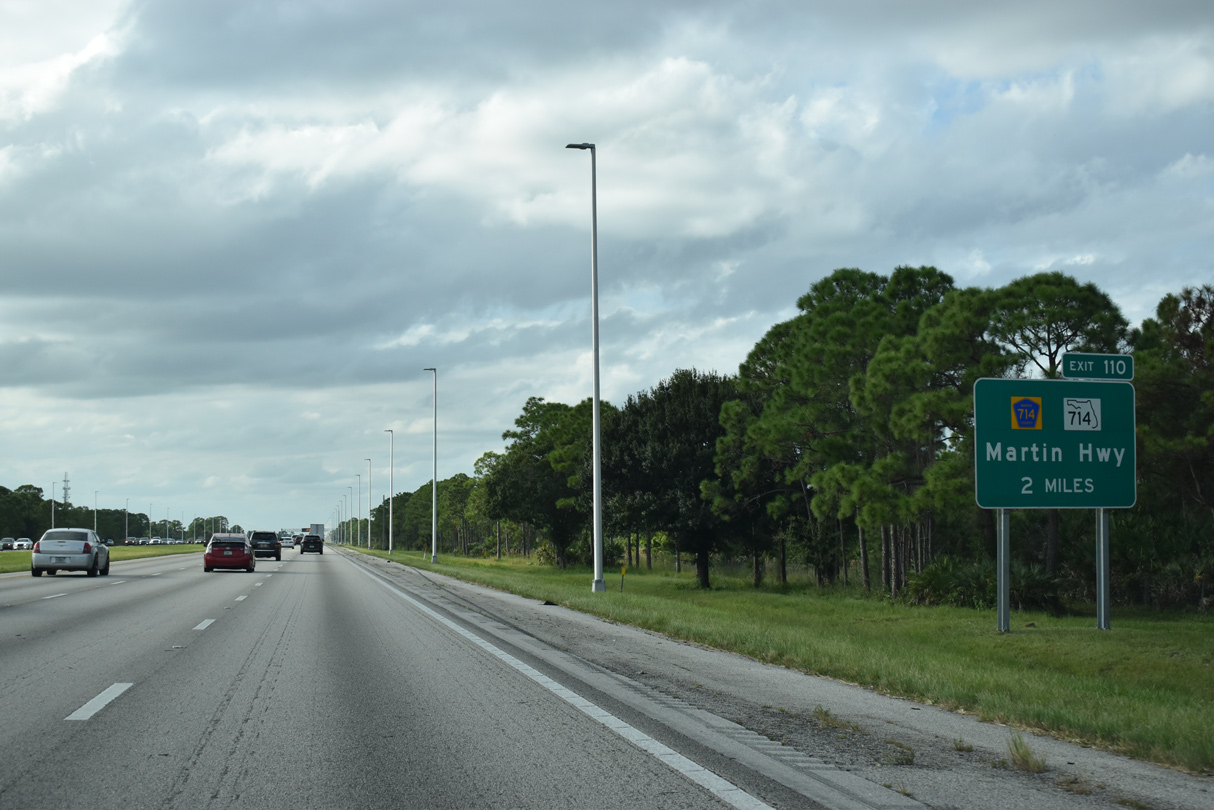
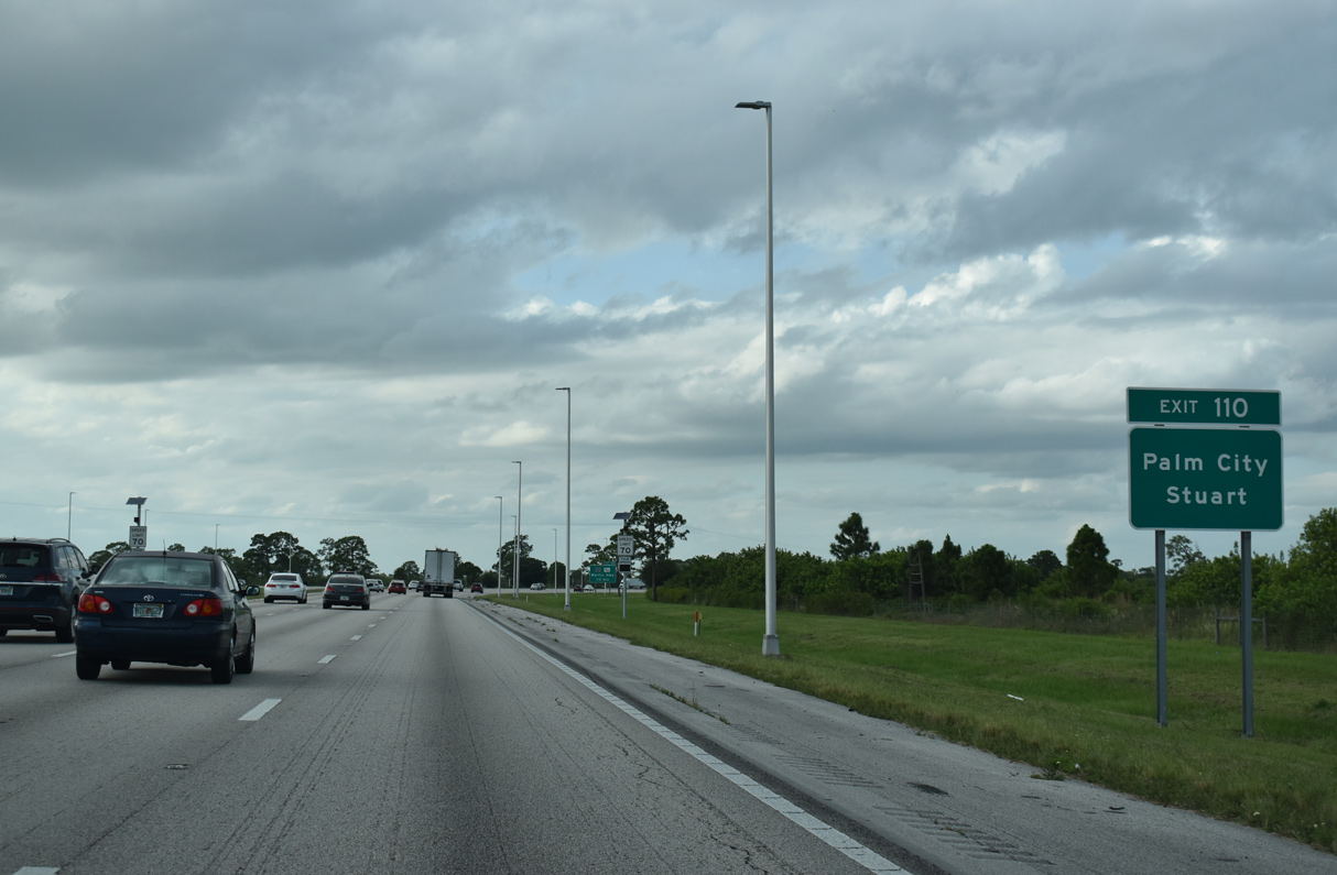
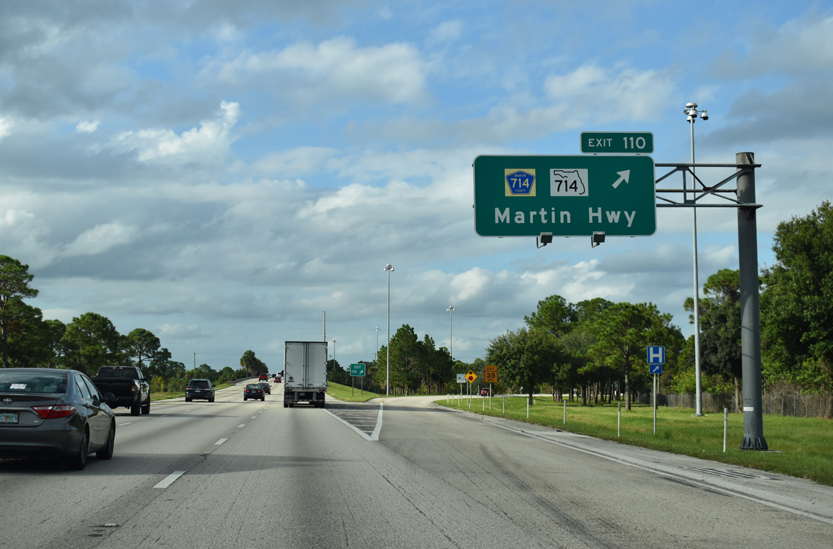
SR 714 west and County Road 714 east come together at a diamond interchange (Exit 110) with Interstate 95 in two miles.
10/17/21
Collectively known as Martin Highway, CR 710 and SR 710 join Palm City to the east with SR 710 (Bee Line Highway) west near Lake Okeechobee.
10/17/21
State Road 76 stretches 12.38 miles east from I-95/CR 710 to SR A1A in Stuart.
10/17/21
Interstate 95 resumes a northward heading at Exit 110 to Martin Highway. CR 714 traverses a rural area, mostly in protected lands west toward Lake Okeechobee.
10/17/21
East from Exit 110, SR 714 (Martin Highway) remains rural to Martin Downs Boulevard and the interchange with Florida's Turnpike on the west side of Palm City.
10/17/21
Interstate 95 runs along the west side of a rural golf course community to County Line Canal.
10/17/21
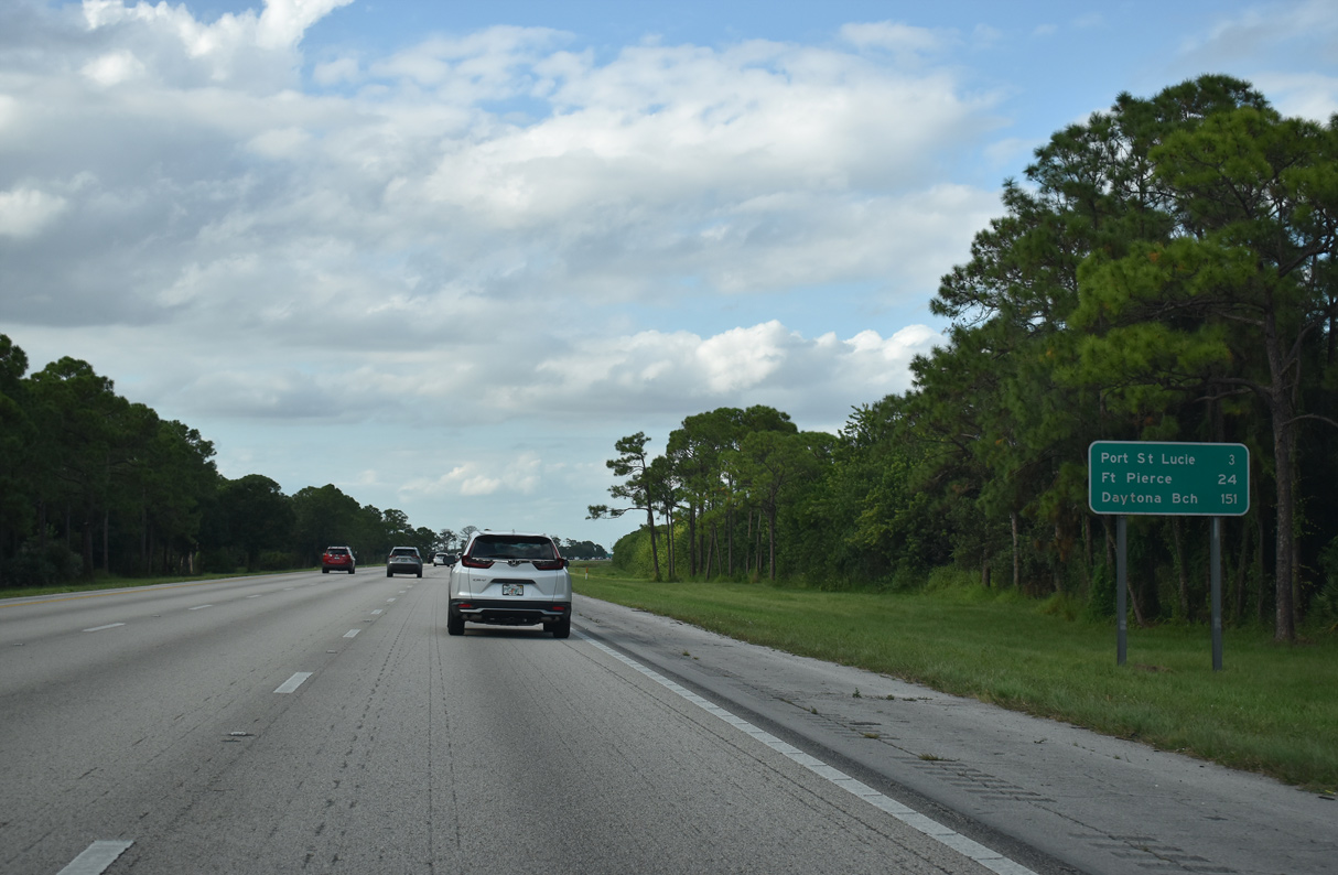
Continuing three miles north, I-95 reaches the first of five interchanges within Port St. Lucie, a city of over 200,000. Fort Pierce, seat of St. Lucie County, is 24 miles away, followed by Daytona Beach in 151 miles.
10/17/21
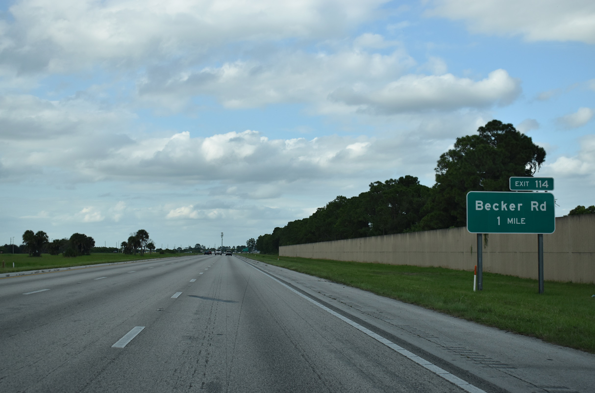
A diamond interchange (Exit 114) connects Interstate 95 with Becker Road in south Port St. Lucie. Constructed at a cost of $40 million, the exchange opened to traffic on July 31, 2009.1
10/17/21

Becker Road runs 6.64 miles east from Exit 114 across a sprawling residential network of streets to Florida's Turnpike at Exit 138 and Gilson Road near Floridian Golf Club.
10/17/21
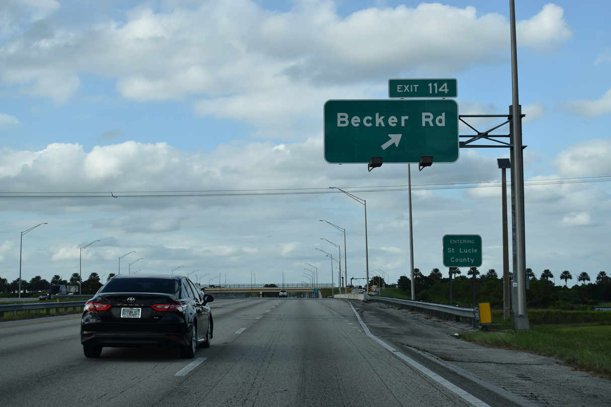
Interstate 95 north spans County Line Canal into St. Lucie County at Exit 114. Becker Road spurs 0.89 miles west to a dead end beyond SW Village Parkway, a newer arterial paralleling I-95 north to Crosstown Parkway.
10/17/21
FDOT recorded 62,000 vehicles per day (vpd) along Interstate 95 through southwest Port St. Lucie in 2013. Counts increased to 80,500 vpd in 2018. The freeway maintains six overall lanes here.
10/17/21
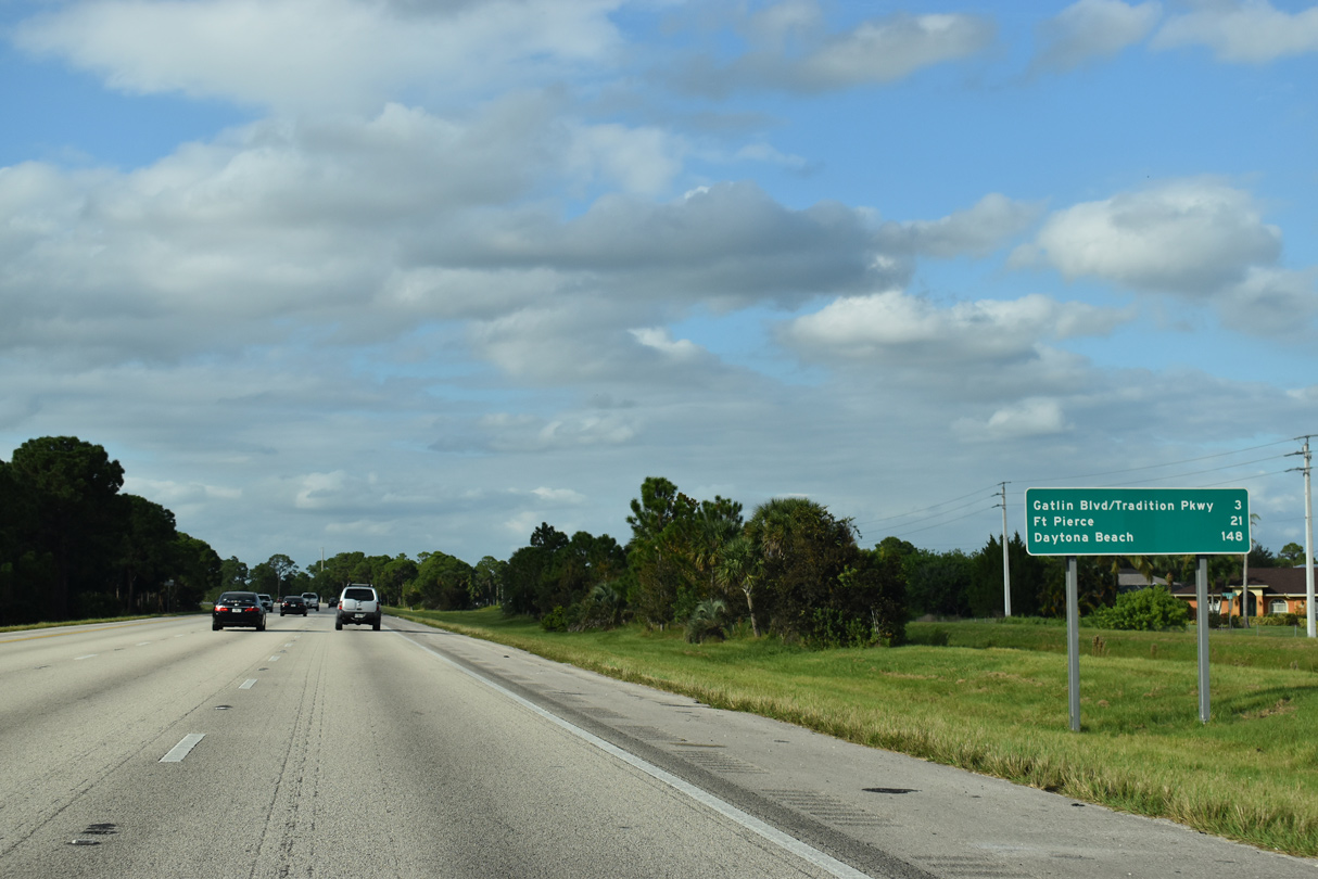
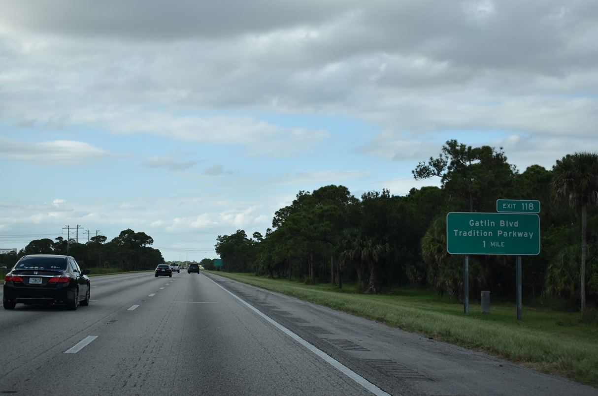
The succeeding exit is a diamond interchange joining I-95 north with Tradition Parkway west and Gatlin Boulevard east.
10/17/21
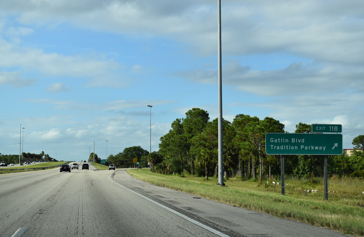
Tradition Parkway provides access to the master planned community of Tradition to the west. Gatlin Boulevard extends the arterial east by a number of shopping centers to Port St. Lucie Boulevard.
10/17/21
Tradition, built from 2003 onward, spreads to the west of I-95 as the freeway curves eastward.
10/17/21
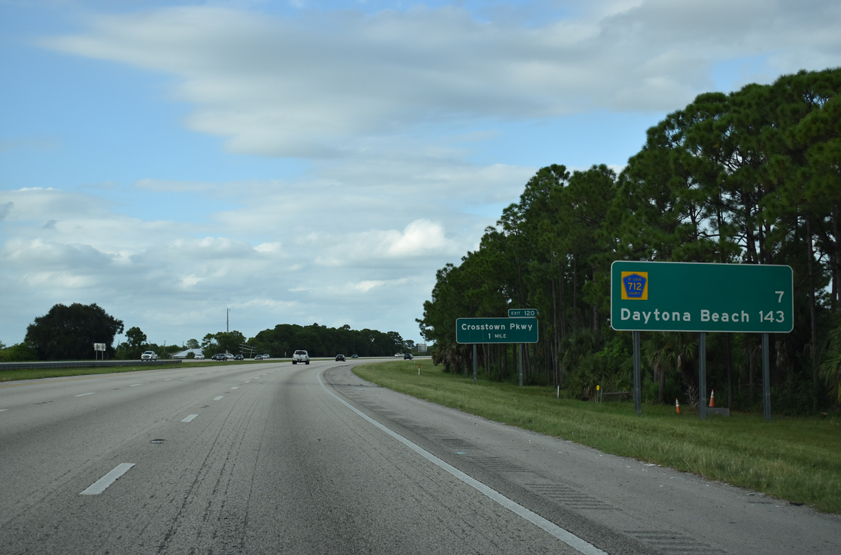
A distance sign posted after Tradition Parkway predates the opening of the diamond interchange (Exit 120) with Crosstown Parkway. It also omits St. Lucie West Boulevard (Exit 121) and instead references CR 712 on the north Port St. Lucie city line in seven miles.
10/17/21
Costing $300 million overall, Crosstown Parkway was constructed by the city of Port St. Lucie in six segments. Segment 1,2 the Crosstown Parkway Bridge spanning the St. Lucie River east to U.S. 1, was the final. It opened on September 28, 2019.3 Built in conjunction with Segment 5, the interchange with I-95 opened on March 28, 2009.2
10/17/21
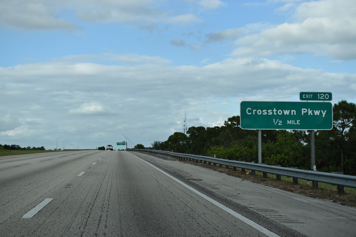
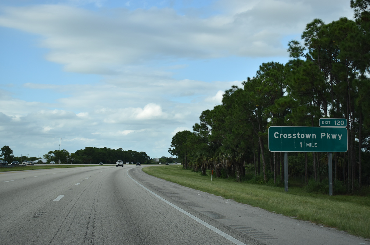
Interstate 95 spans C-24 Canal ahead of Exit 120 to Crosstown Parkway. Crosstown Parkway travels a short distance west to Village Parkway south through Tradition.
10/17/21
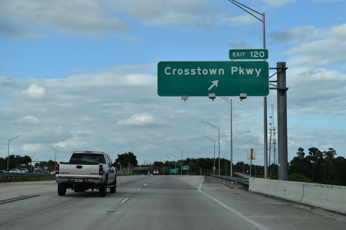
Interstate 95 north reaches Exit 120 with Crosstown Parkway. The controlled access boulevard heads 6.9 miles east to U.S. 1 at SE Village Green Drive.
10/17/21

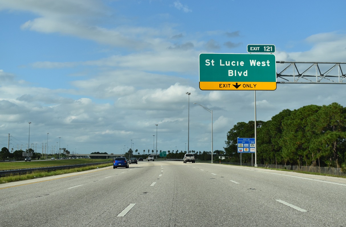
A parclo interchange (Exit 121) follows with St. Lucie West Boulevard in one mile.
10/17/21
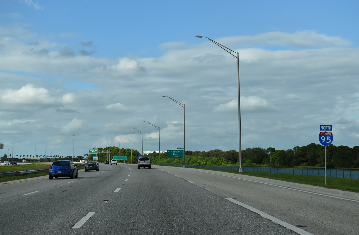
A storm water pond abuts the east side of I-95 north to Exit 121.
10/17/21
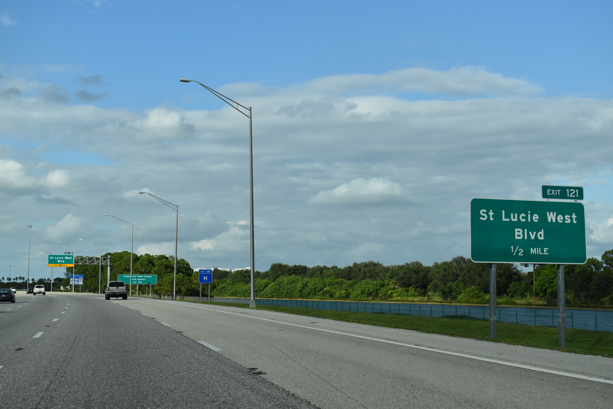
St. Lucie West Boulevard constitutes a commercial arterial east from Exit 121 to the crossing over Florida's Turnpike.
10/17/21
An auxiliary lane from Crosstown Parkway defaults onto St. Lucie West Boulevard at Exit 121. The arterial becomes Prima Vista Boulevard east of the Turnpike, which extends the route to U.S. 1 across the St. Lucie River.
10/17/21
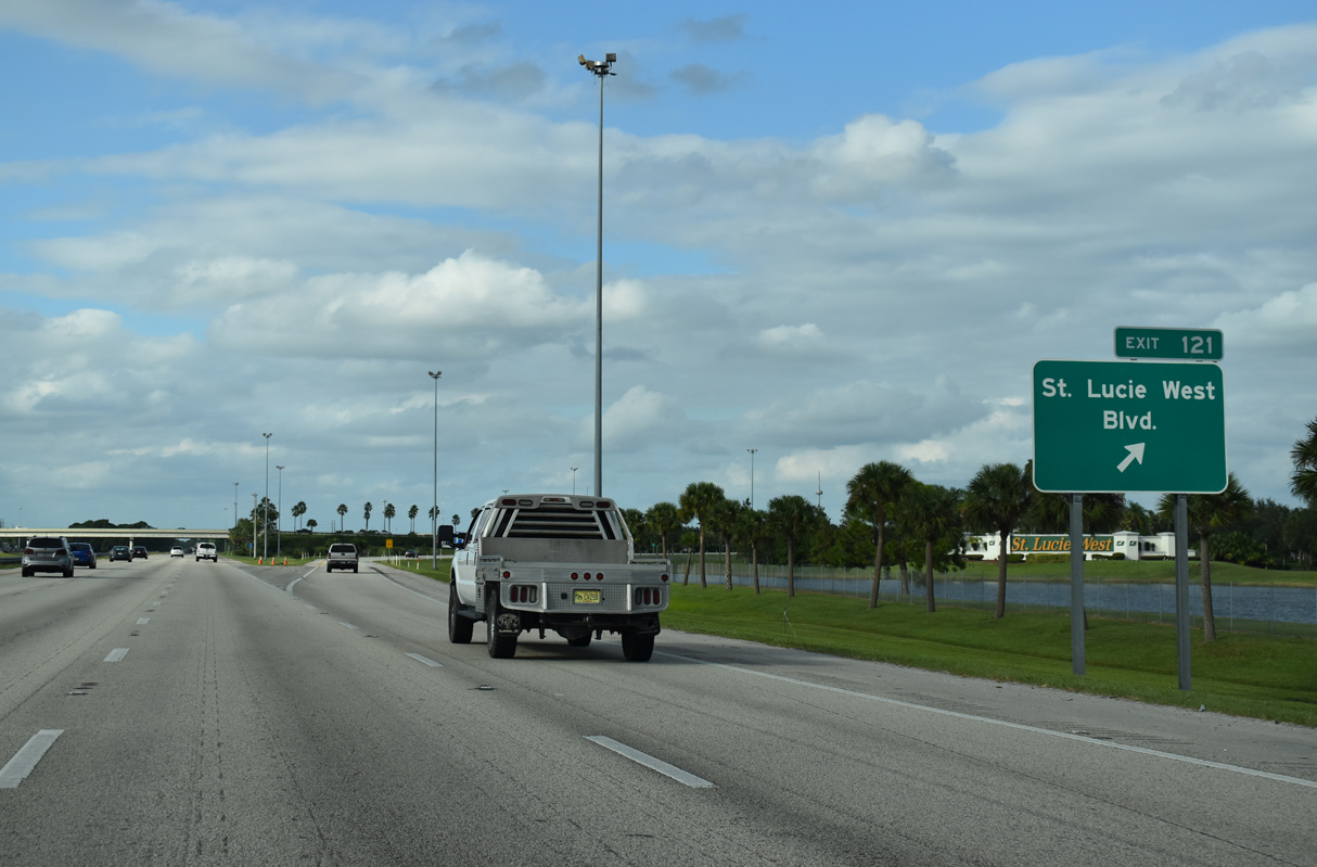
Reserve Boulevard stems west from Exit 121 and St. Lucie West Boulevard to the gated community of PGA Village. Commerce Centre Drive parallels I-95 both north and south as a frontage road system from the boulevard.
10/17/21


References:
- "I-95 interchange at Becker Road should be open by end of July in Port St. Lucie." TCPalm (Stuart, FL), July 9, 2009.
- City of Port St. Lucie Crosstown Parkway Archive.
http://pslcrosstownparkway.com/archive/ - "After 40 years, Port St. Lucie opens Crosstown Parkway Bridge 'At Last'." Treasure Coast News (FL), September 28, 2019.
Photo Credits:
- Alex Nitzman, Carter Buchanan: 04/01/14
- Alex Nitzman: 10/17/21
- Alex Nitzman, Larry Epstein: 04/20/08
- Alex Nitzman, JP Nasiatka: 07/27/16
Connect with:
Page Updated Saturday October 29, 2022.