
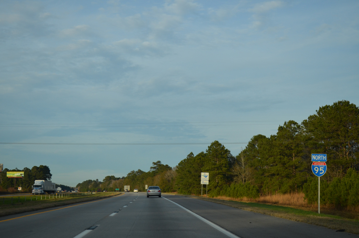
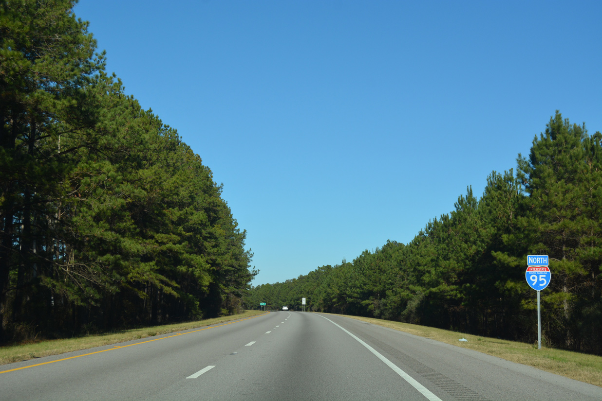
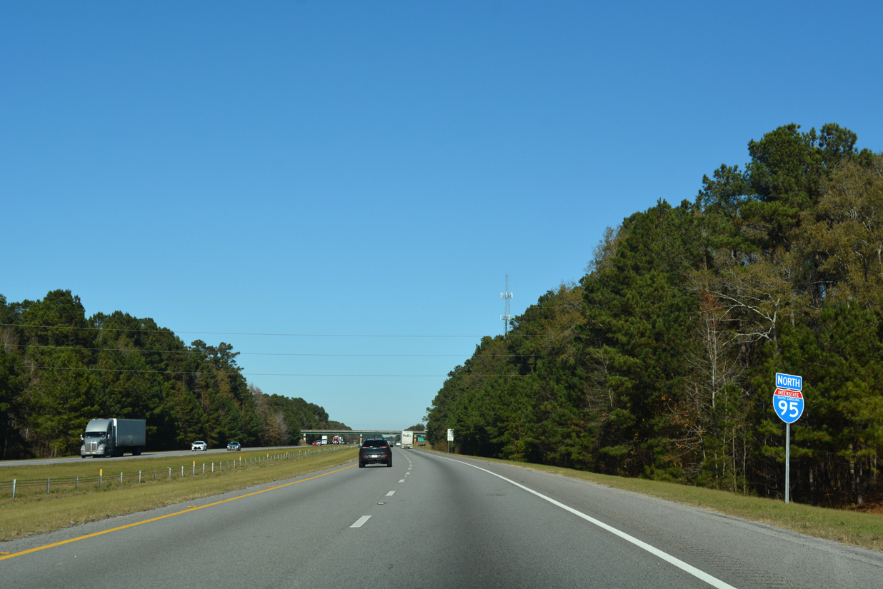
Interstate 95 North - St. George to Summerton
Construction started on January 5, 2025 upgrades the cloverleaf interchange joining I-26/95. Work replaces the loop ramps from I-95 to I-26 with directional flyovers and accommodates both freeways for future widening. Substantial project completion is anticipated for June 9, 2027, followed by final completion on November 6, 2027.
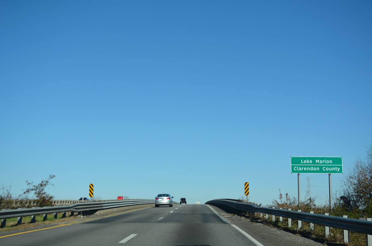
Further north, construction replaces the bridges taking Interstate 95 across Lake Marion. Built in 1968, the spans were rated in fair but deteriorating condition (Laird, 2024). The new wider spans will accommodate two 12-foot wide travel lanes, 10-foot inside shoulder and a 12-foot outside shoulder. Additionally the bridge decks will be wide enough to support three lanes in each direction. A $175 million federal grant for the $350 million overall project was awarded to the South Carolina Department of Transportation (SCDOT) on July 17, 2024 (Laird, 2024).

Reassurance marker for I-95 north posted at the Edisto River. This bridge was built in 1974.
12/13/17
Interstate 95 plies across a low lying area north of the Edisto River on the initial portion of the eight mile drive to St. George.
09/05/25
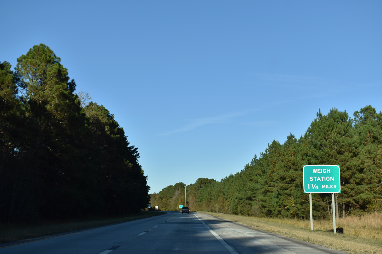
A northbound weigh station operates along Interstate 95 by Cowtail Creek.
09/05/25
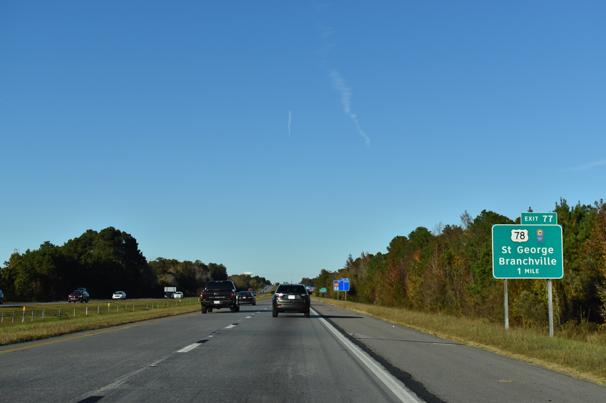
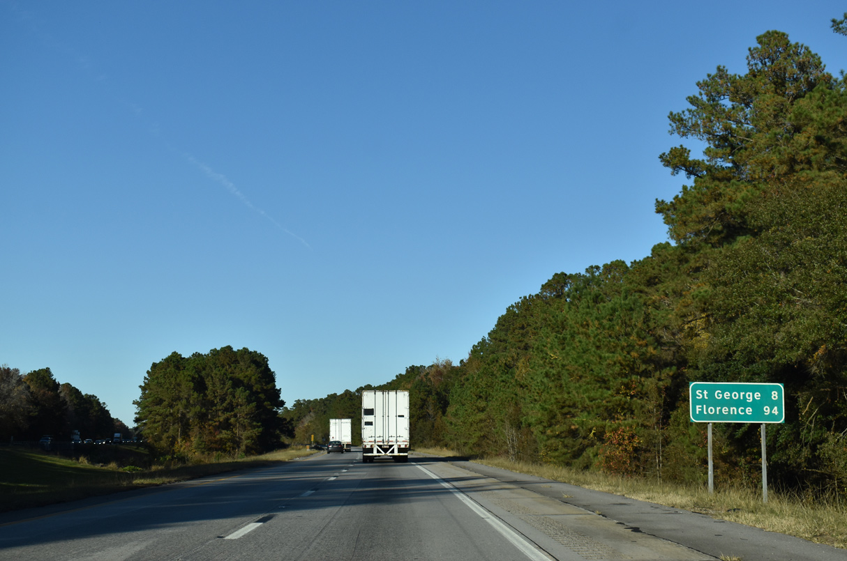
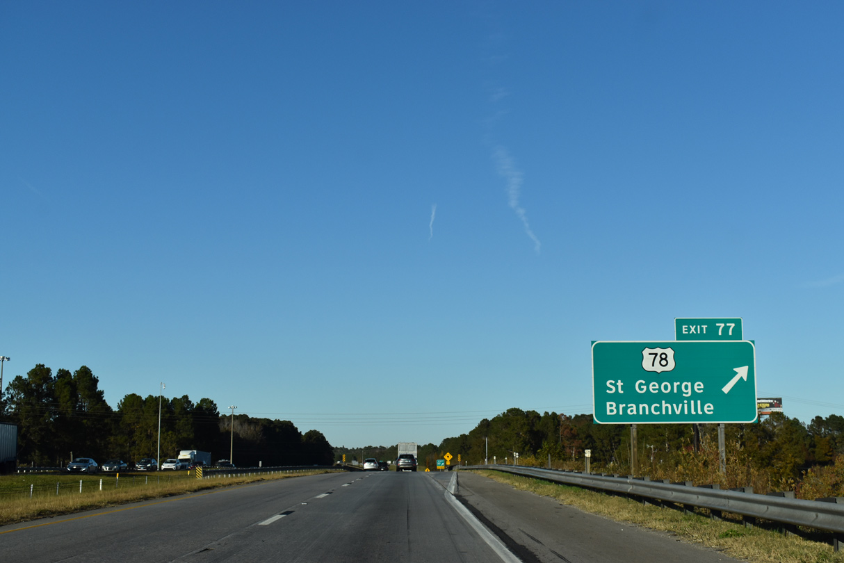
U.S. 78 links I-95 with the Dorchester County seat of St. George from Exit 77. U.S. 78 is part of the South Carolina Heritage Trail scenic route westward to Aiken and Augusta.
09/05/25
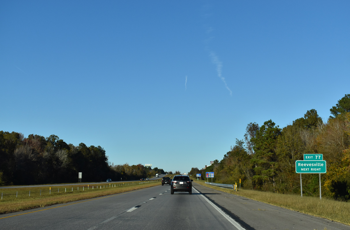
West of St. George, U.S. 78 follows a rural course 15 miles to Reevesville and U.S. 21 at Branchville.
11/19/21
I-95 passes over a Norfolk Southern Railroad ahead of the folded diamond interchange with U.S. 78 (Badham Drive). U.S. 78 mirrors I-26 from Ridgeville southeast into Charleston. Much of the route is slow going with U.S. 78 a commercial arterial through the Summerville, Ladson, and North Charleston areas.
09/05/25
Interstate 95 continues north from this shield assembly by Hudsontown.
12/19/13

Interstate 26 again appears on distance signage eight miles out while Florence is 87 miles away.
09/05/25
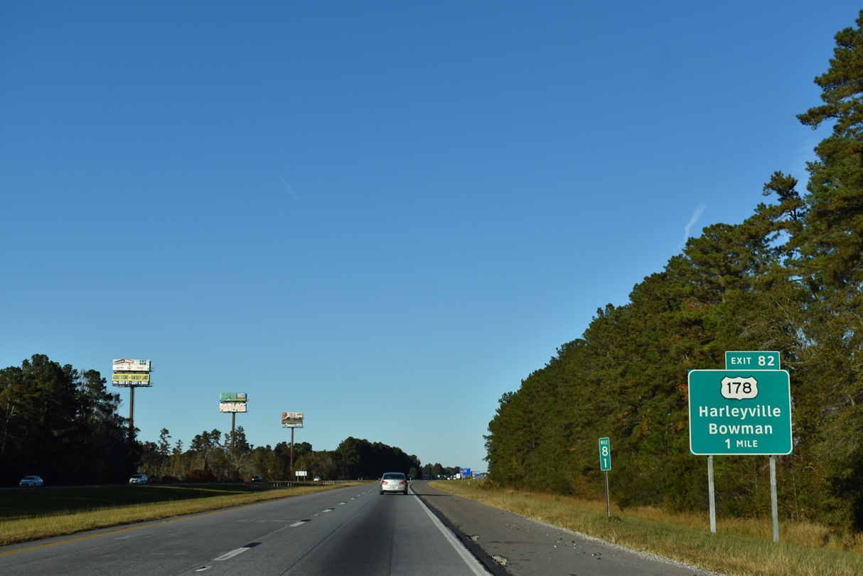
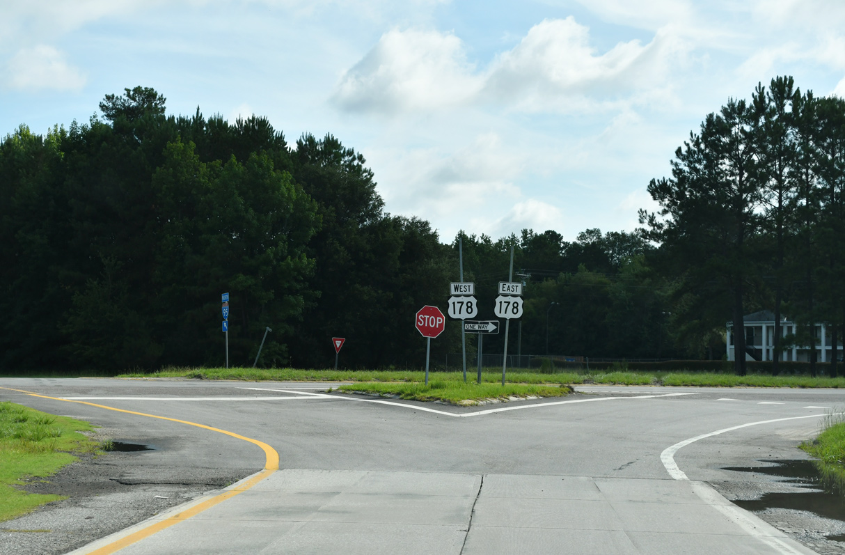
U.S. 178 splits with U.S. 78 near Dorchester and Ridgeville and crosses paths with I-95 at Exit 82. U.S. 178 parallels Interstate 26 west to Harleyville, Rosinville, Bowman and Orangeburg before turning toward North and Greenwood.
09/05/25
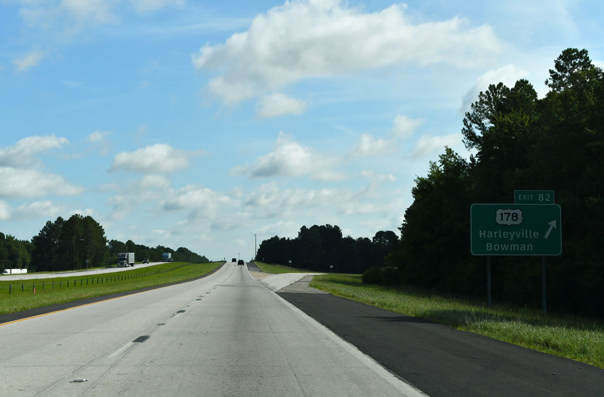
Entering the diamond interchange (Exit 82) with U.S. 178 (Charleston Highway) on Interstate 95. U.S. 178 reaches the town of Harleyville in seven miles at S.C. 453 and Bowman nine miles west at S.C. 210.
09/05/25
07/10/24
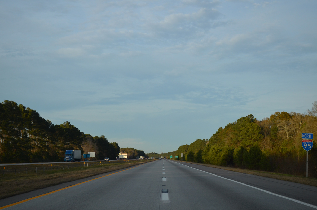
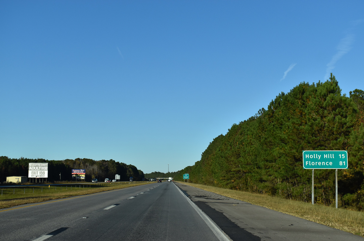
Beyond forthcoming Interstate 26, I-95 progresses northeast to toward Santee. Holly Hill is referenced as the following exit with U.S. 176 in 15 miles.
12/19/13
09/05/25
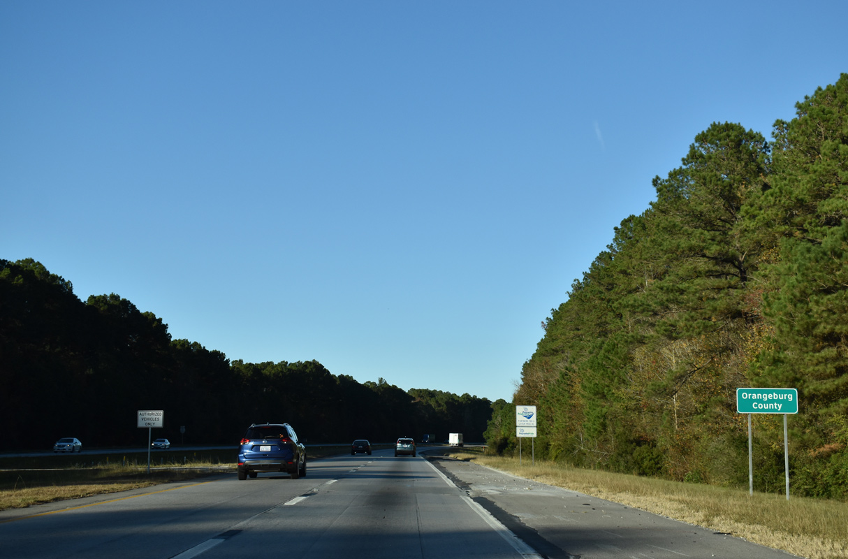
Interstate 26 angles northwest from South Carolina's LowCountry to converge with I-95 in a rural area between Bowman and Holly Hill in south Orangeburg County.
09/05/25
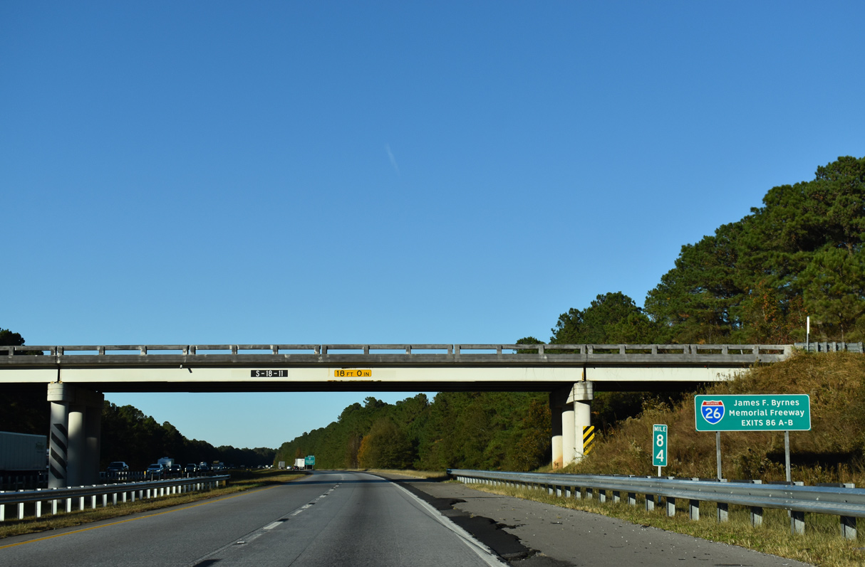
Interstate 26 throughout South Carolina is formally named the James F. Byrnes Memorial Freeway. Byrnes was a former governor, U.S. Senator and associate justice of the U.S. Supreme Court.2
09/05/25
Within the Palmetto State, I-26 comprises the main route between Charleston, the capital city of Columbia and Spartanburg in the Upstate.
09/05/25
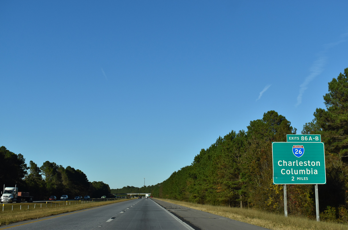
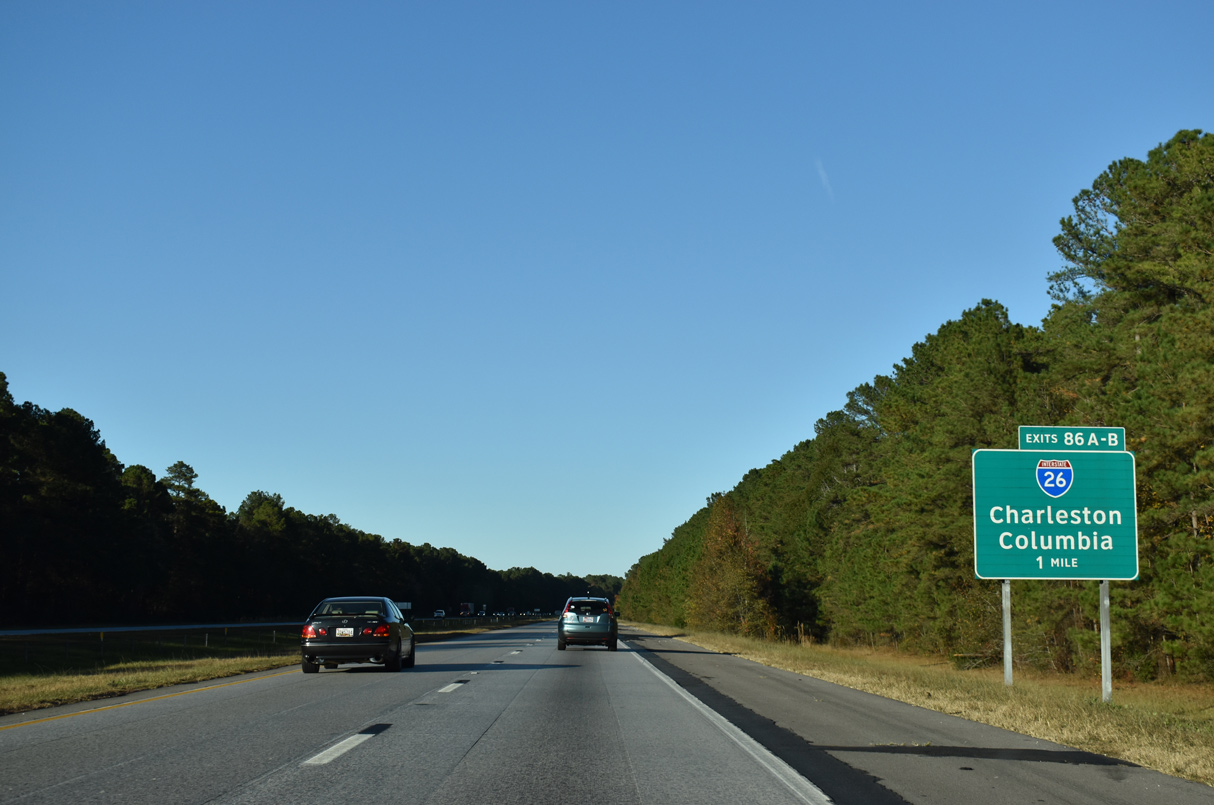
I-26 and I-95 meet just beyond the Orangeburg County line at a cloverleaf interchange, 53 miles from U.S. 17 near Downtown Charleston.
09/05/25
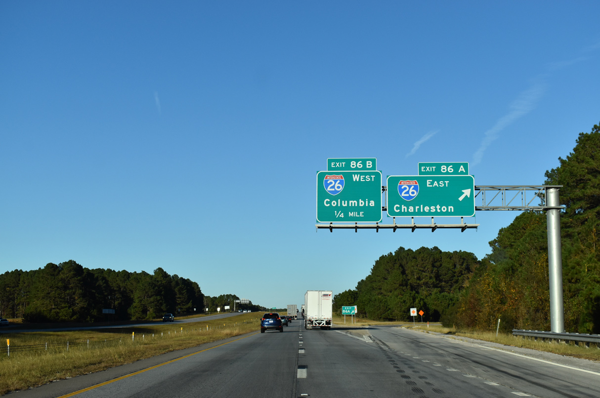
Exit 86 A departs I-95 north for I-26 east to Summerville, North Charleston and Charleston. Charleston is a Colonial city rich in history. The coastal metropolitan area boasts the Port of Charleston, Charleston Air Force Base and the beaches of Sullivans Island, Isle of Palms and Folly Beach.
09/05/25
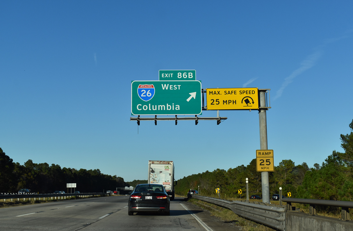
Interstate 26 travels northwest 61 miles to Columbia and 148 miles to Spartanburg. The rural freeway also connects with Orangeburg in 20 miles and with I-77 north to Charlotte, North Carolina in 53 miles.
09/05/25
Interstate 95 traverses Four Hole Swamp northward from Interstate 26.
12/13/17
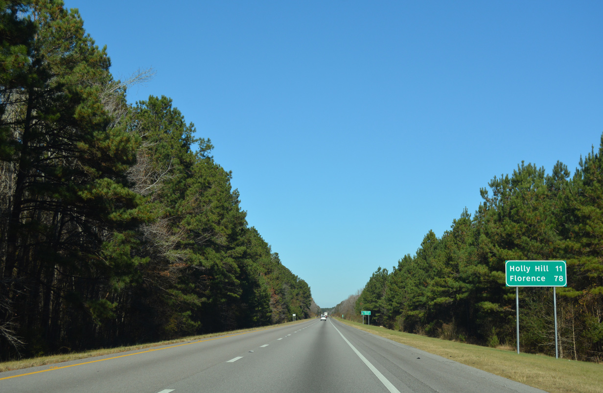
Holly Hill, a town eight miles to the southeast along U.S. 176, is the next destination referenced on northbound distance signs for I-95. Florence, the main control city in SC, remains 78 miles to the northeast.
12/13/17
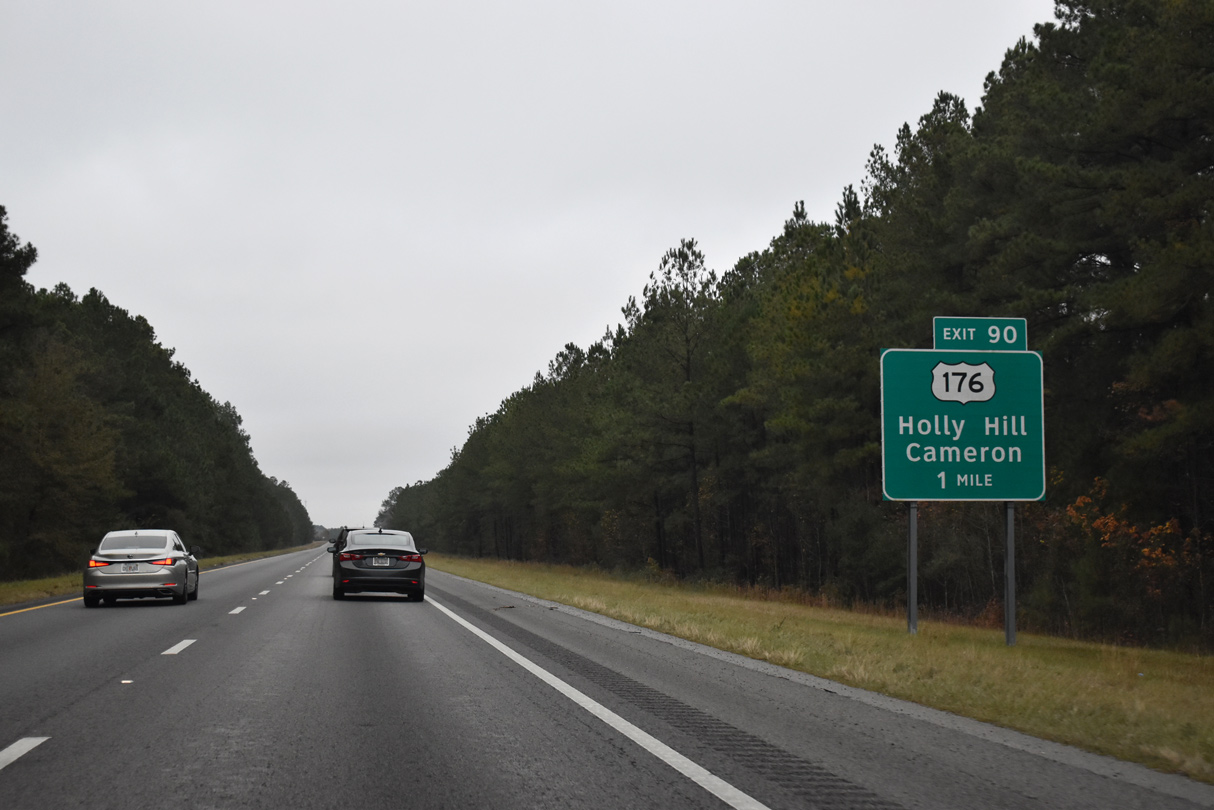
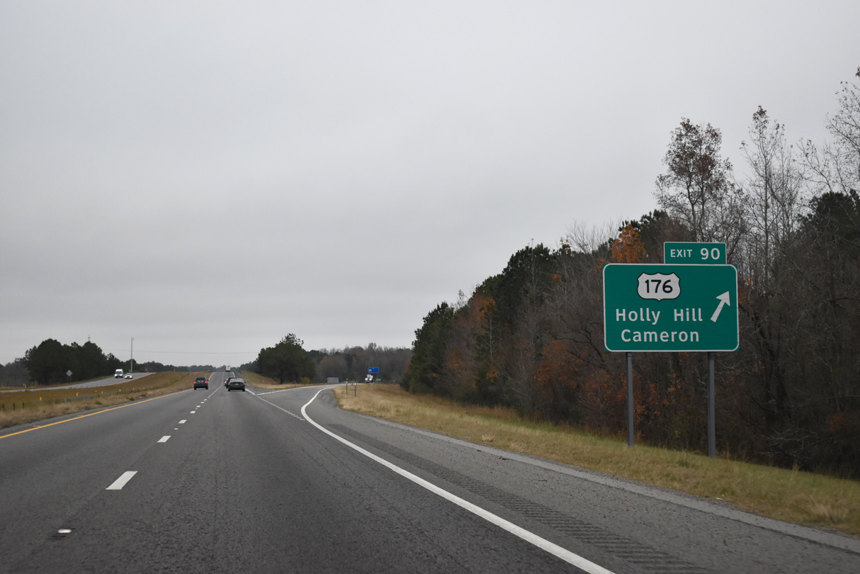
A diamond interchange (Exit 90) connects U.S. 176 (Old State Road) with Interstate 95 in one mile near Providence.
12/20/24
U.S. 176 travels almost wholly within the Palmetto State, following a 229 mile route southeast to Goose Creek outside Charleston and northwest to Hendersonville near Interstate 26.
12/20/24
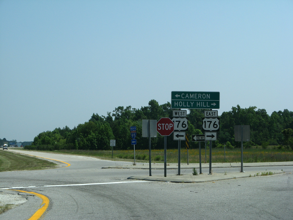
Within the LowCountry, U.S. 176 (Old state Road) angles northwest to Cameron and St. Matthews and southeast to Wells and Holly Hill.
05/30/07
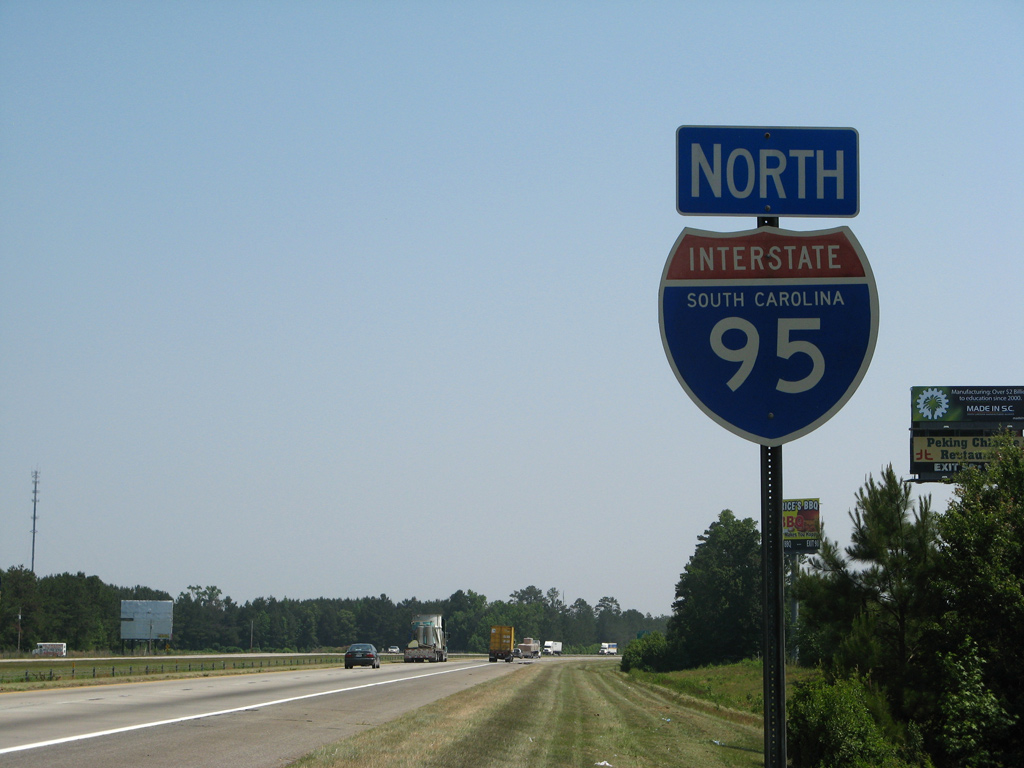
A older shield design for Interstate 95 was posted north of the U.S. 176 emtrance ramp until 2008. No shield is posted along this stretch as of early 2021.
05/30/07
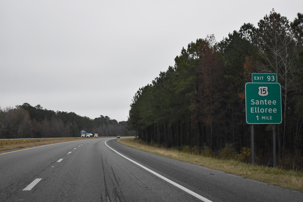
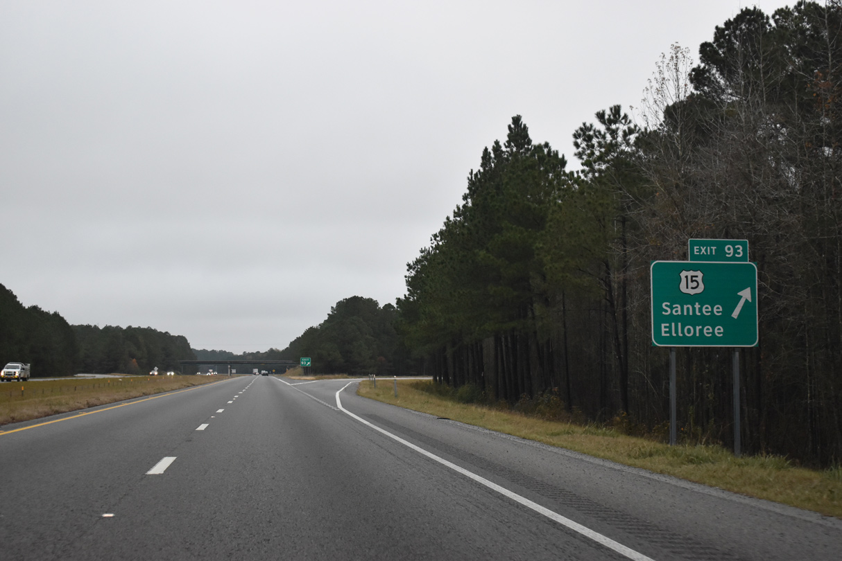
The concrete surface along I-95 north leading toward Exit 93 with U.S. 15 was paved over with asphalt by 2013. U.S. 15, which parallels the I-95 corridor northward from Walterboro, finally crosses paths with the freeway four miles north of Wells.
12/20/24
U.S. 15 loops west from Exit 90 toward the town of Santee, where it combines with U.S. 301. A stretch along Bass Drive leading to S.C. 6 into town doubles as U.S. 15 Connector.
12/20/24
Interstate 95 shifts northward toward Santee and Lake Marion from Exit 93. This shield was removed by 2020.
12/13/17
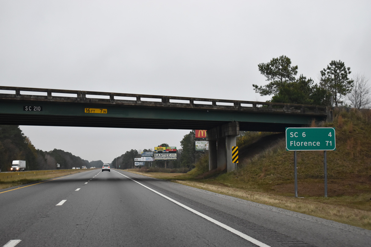
S.C. 210 (Vance Road) spans I-95 east from U.S. 15 to S.C. 310 at Vance by this distance sign posted 71 miles south of Florence.
12/17/20
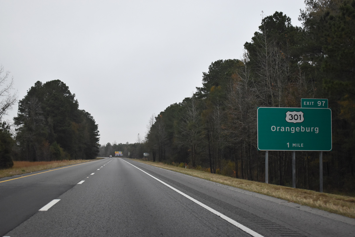
Construction from August 2013 to September 2017 expanded the wye (Exit 97) bringing U.S. 15/301 north onto I-95 into a full access interchange. The $41 million design-build project provided another access point for the Global Logistics Triangle, an area of Orangeburg County along U.S. 301 between I-95 and I-26.1
12/20/24
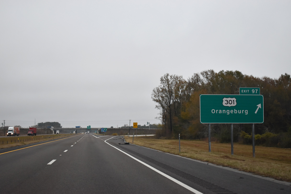
Exit 97 is the first of four interchanges along I-95 north for the Santee Cooper Lakes region. S.C. 6 Connector extends 1.69 miles east from U.S. 15/301 and I-95 to S.C. 6. The roadway was built during the 2013-17 project.1
12/20/24


 North
North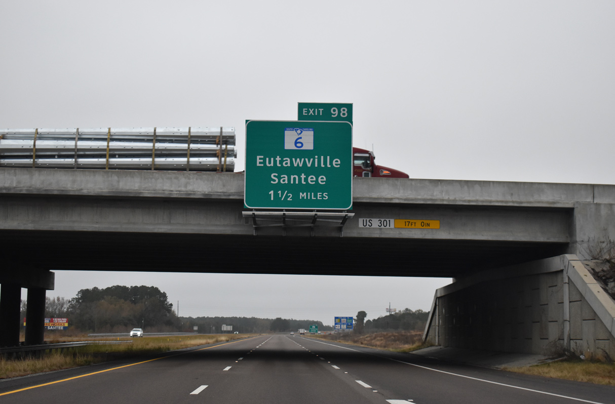
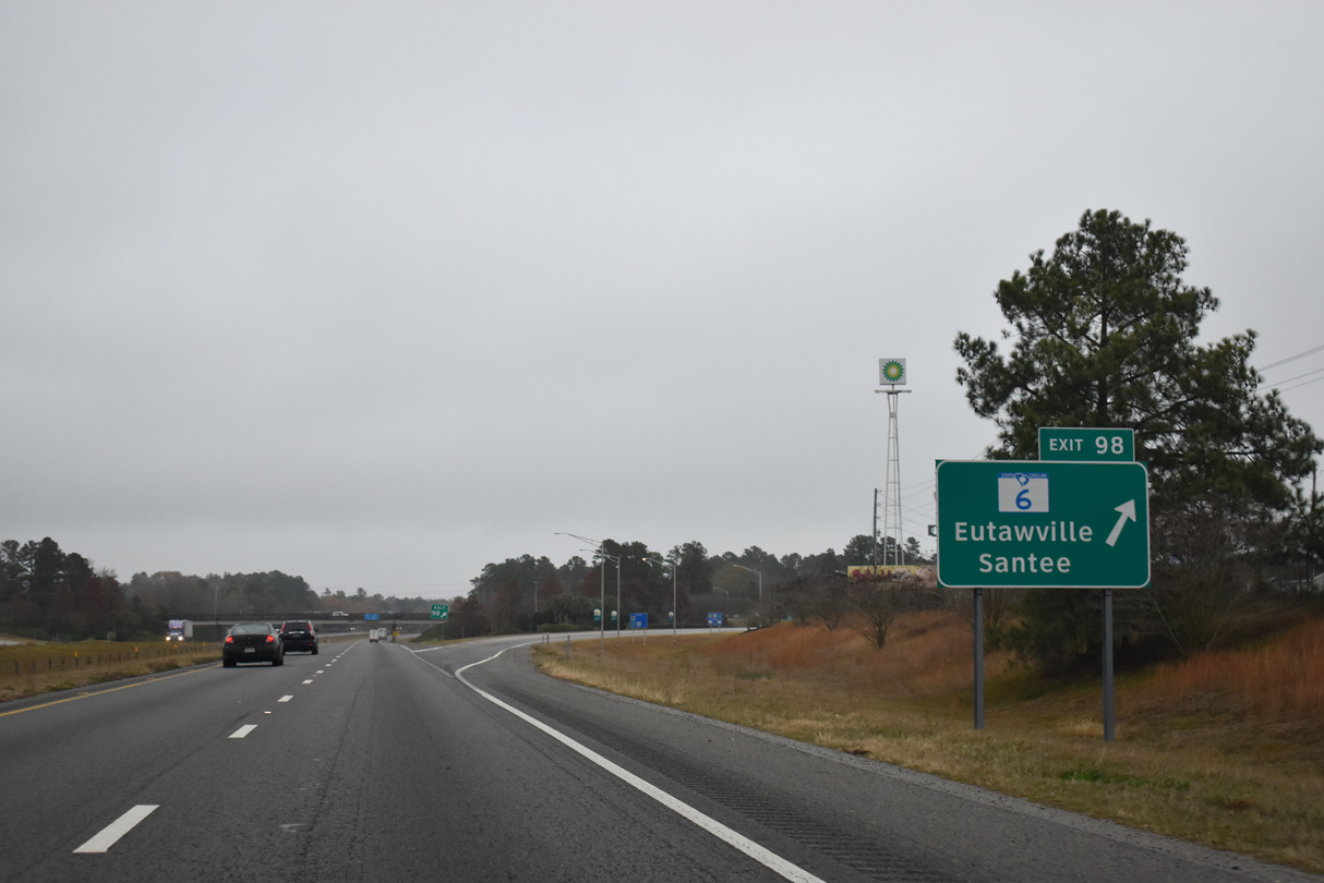
Meeting I-95/U.S. 15-301 next is S.C. 6, a 116 mile long route between Moncks Corner to the southeast and Ballentine to the northwest of Columbia. This overhead was removed by 2024.
12/17/20
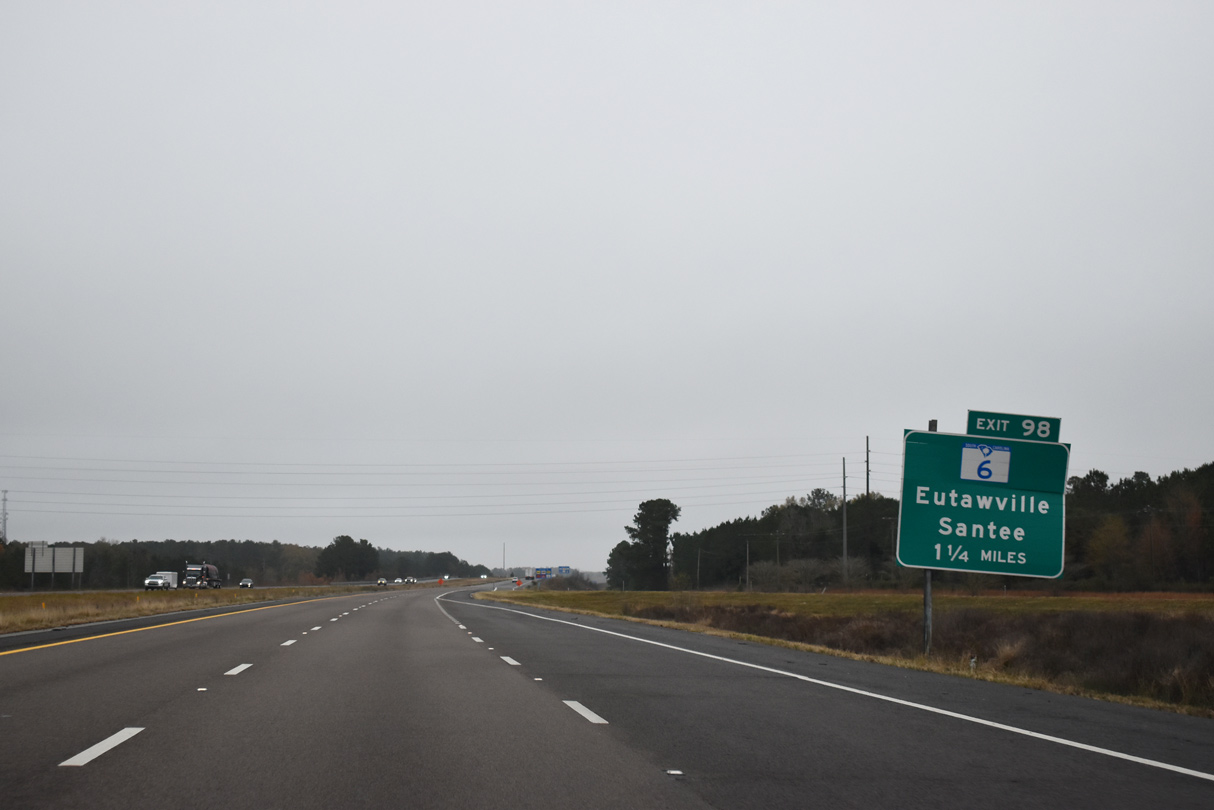
U.S. 15/301 north combine with Interstate 95 north to cross Lake Marion. Forthcoming Exit 98 to S.C. 6 north serves interests to Santee State Park, which hugs the west shore of the man made lake.
12/17/20
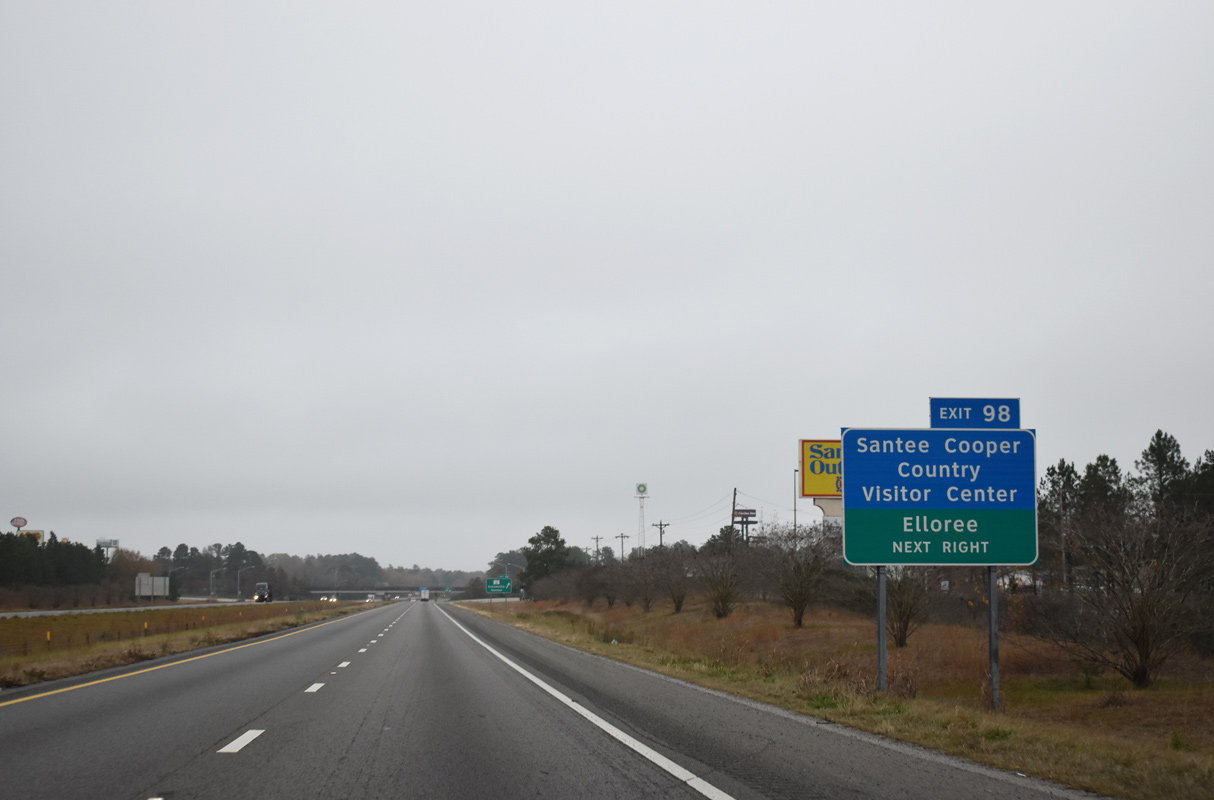
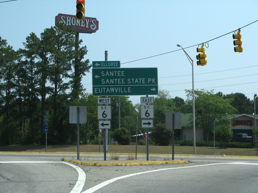
S.C. 6 heads nines miles southeast to Eutawville and seven miles beyond Santee to Elloree.
12/17/20
Replaced shield assembly posted at Exit 97. Traveler services line both sides of S.C. 6 in each direction from the diamond interchange.
05/30/07
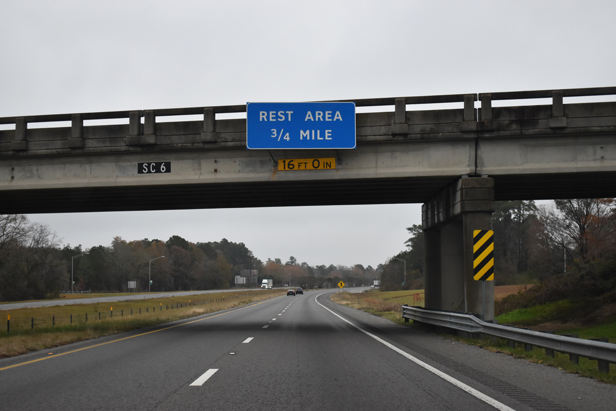
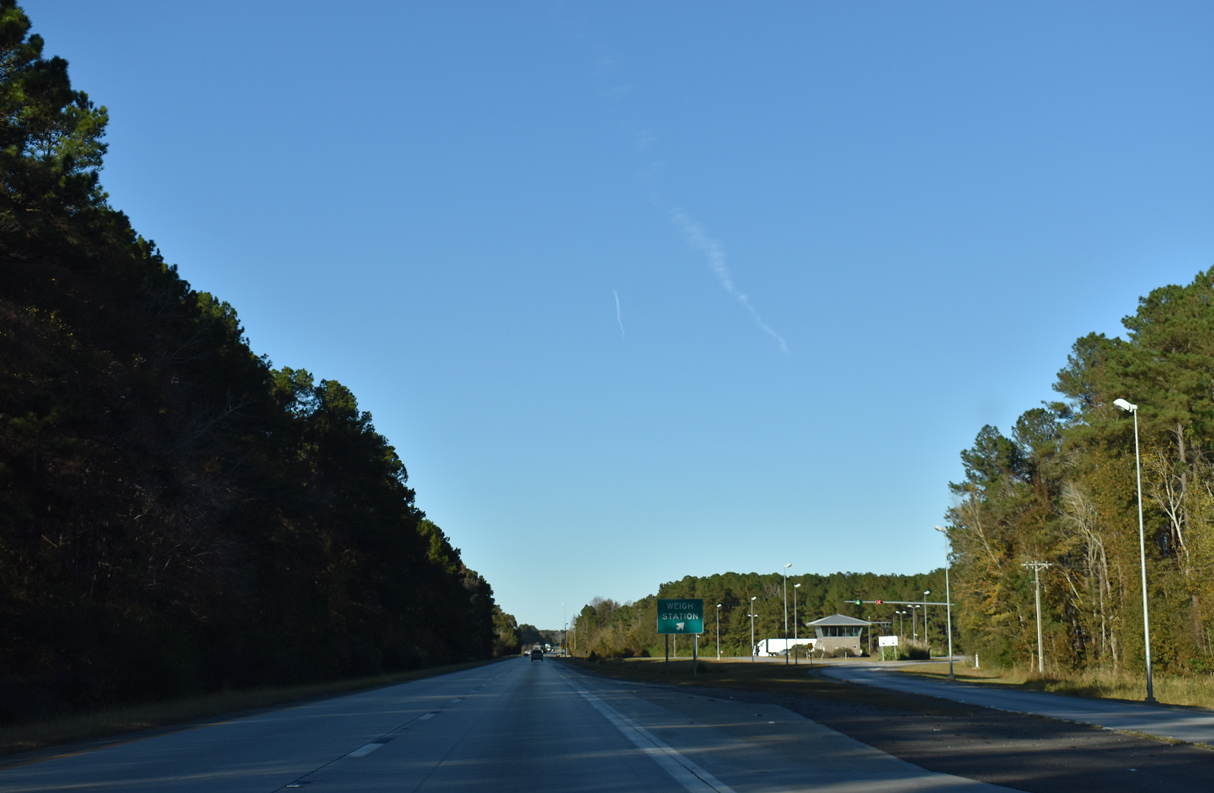
The third northbound rest area in South Carolina precedes Lake Marion beside Lake Marion Golf Course in 0.75 miles.
12/20/24
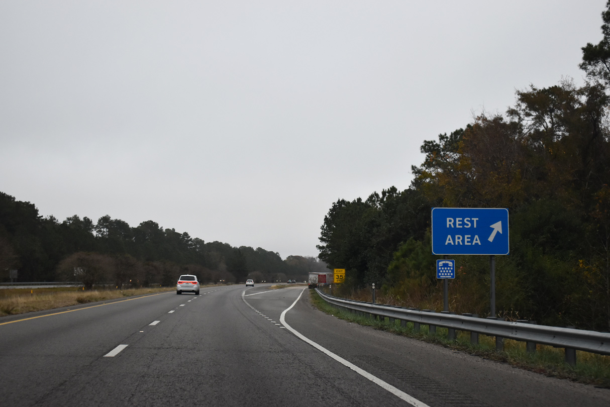
The rest area on I-95/U.S. 15-301 north at Santee is the second to last along the freeway northward to the North Carolina state line.
12/20/24
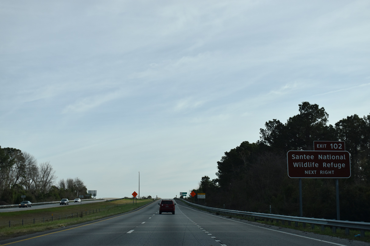
Interstate 95 reaches Santee National Wildlife Refuge along the east shores of the lake. The man make lake was formed by Santee Dam, which was completed in 1941.
12/20/24
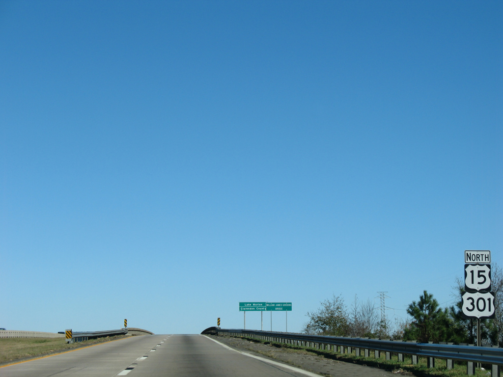
Reassurance markers appear for U.S. 15 and U.S. 301 ahead of Lake Marion (Santee River). U.S. 301 accompanies the Interstate 95 corridor to Richmond, Virginia.
12/16/07
The original course of the Santee River marks the boundary between Orangeburg and Clarendon Counties across Interstate 95 and U.S. 15/301.
12/13/17
12/20/24
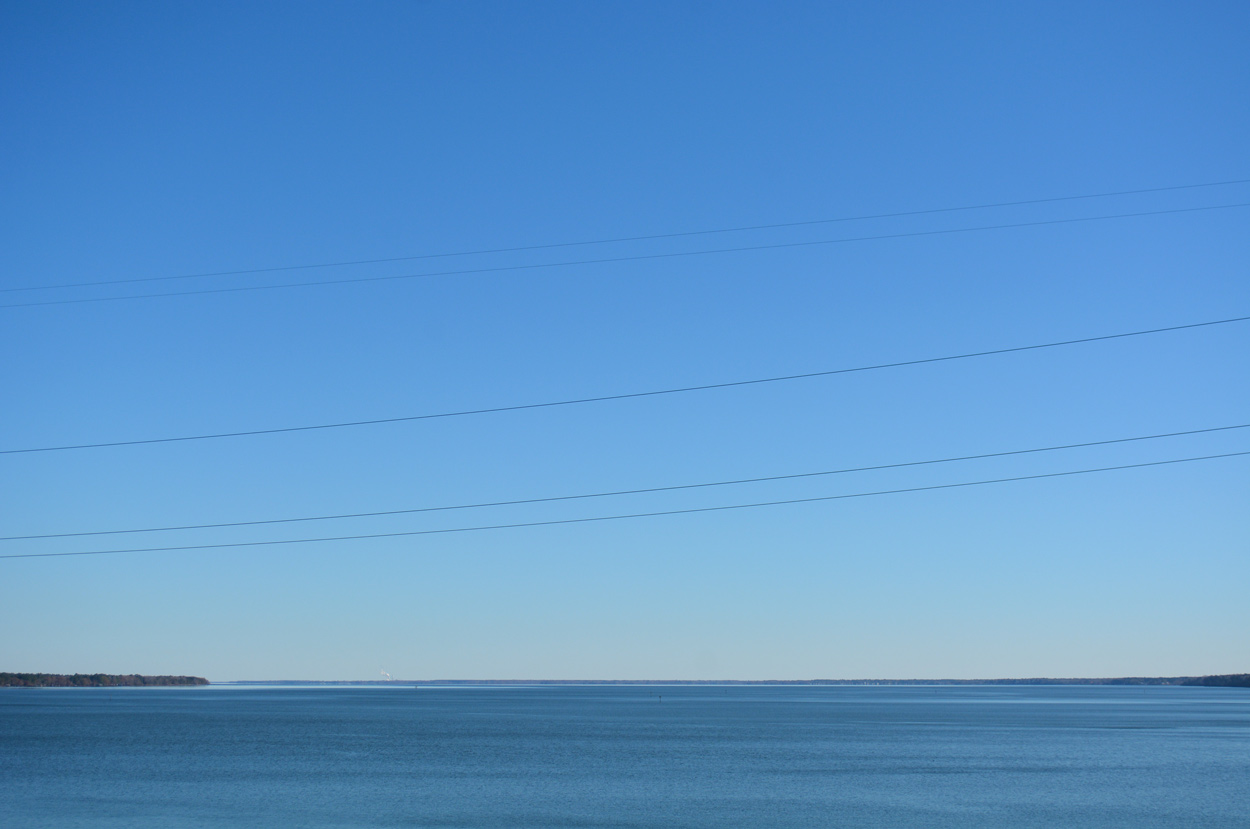
A pair of two lane bridges carry I-95/U.S. 15-301 across Lake Marion. The spans were completed in 1968.
12/20/24

Paralleling the crossing to the north is the Francis Marion Bridge. The former bridge of U.S. 15/301 is closed to vehicular traffic but open for fishing.
02/15/19
12/20/24
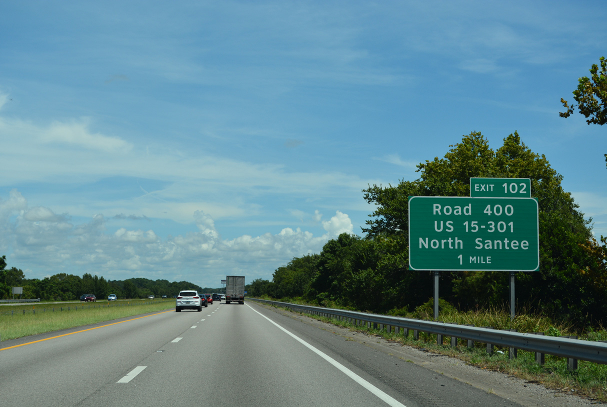
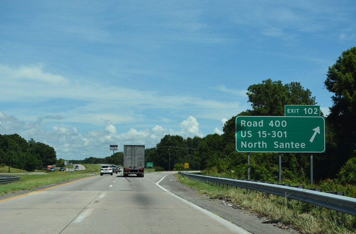
A trumpet interchange (Exit 102) lies at the north end of Lake Marion where U.S. 15/301 separates from I-95 to North Santee and Road 400 to Santee Lakes Campground.
12/20/24
U.S. 15/301 part ways with I-95 for a parallel alignment northward eight miles to Summerton. There U.S. 15 turns northward to Sumter while U.S. 301 remains northeast to Manning.
U.S. 15 concludes a 794 mile long route at Painted Post, New York.
12/20/24
North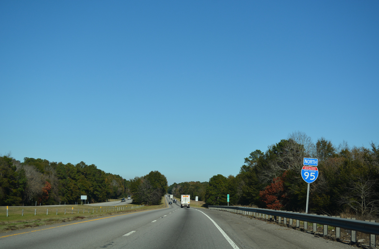
Interstate 95 crosses Cantey Bay at the start of a six mile exit less stretch.
12/20/24
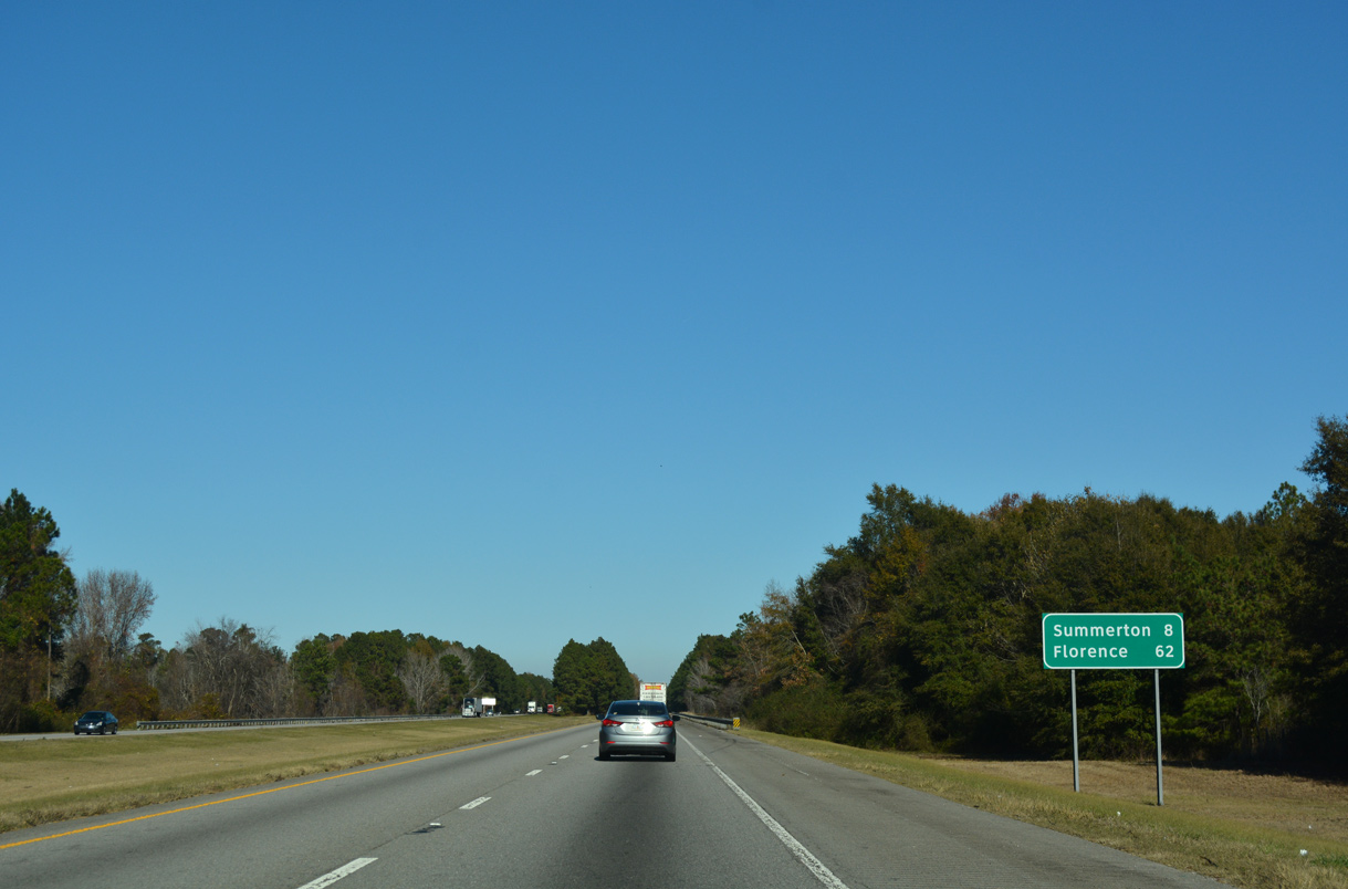
A forested median reappears on the eight mile drive northeast along I-95 toward Summerton. Florence is now less than an hour away.
12/20/24

Buff Road (Road 102) joins Interstate 95 with the town of Summerton at a diamond interchange (Exit 108) in one mile. This sign was missing by 2024.
12/13/17

Road 102 connects I-95 with U.S. 15/301 (Church Street) ahead of their split at Main Street in Downtown Summerton. Southward Road 102 extends through agricultural areas to Bill Davis Road.
12/20/24

References:
- "Traffic using interchange; I-95, U.S. 301 accessible; work on connector to be done in April." The Times and Democrat (Orangeburg, SC), February 21, 2017.
Laird, S. (2024, July 17). $175M federal grant enables SC to build new I-95 bridge over Lake Marion. South Carolina Daily Gazette. https://scdailygazette.com/2024/07/17/175m-federal-grant-enables-sc-to-build-new-i-95-bridge-over-lake-marion/
Photo Credits:
- ABRoads: 12/13/17, 11/19/21
- Brent Ivy: 02/15/19, 07/10/24, 09/05/25
- Alex Nitzman: 12/16/07, 12/19/13, 12/17/20, 12/20/24
- Andy Field: 05/30/07
Connect with:
Page Updated Tuesday December 09, 2025.