
Interstate 95 South - Wilson to Selma

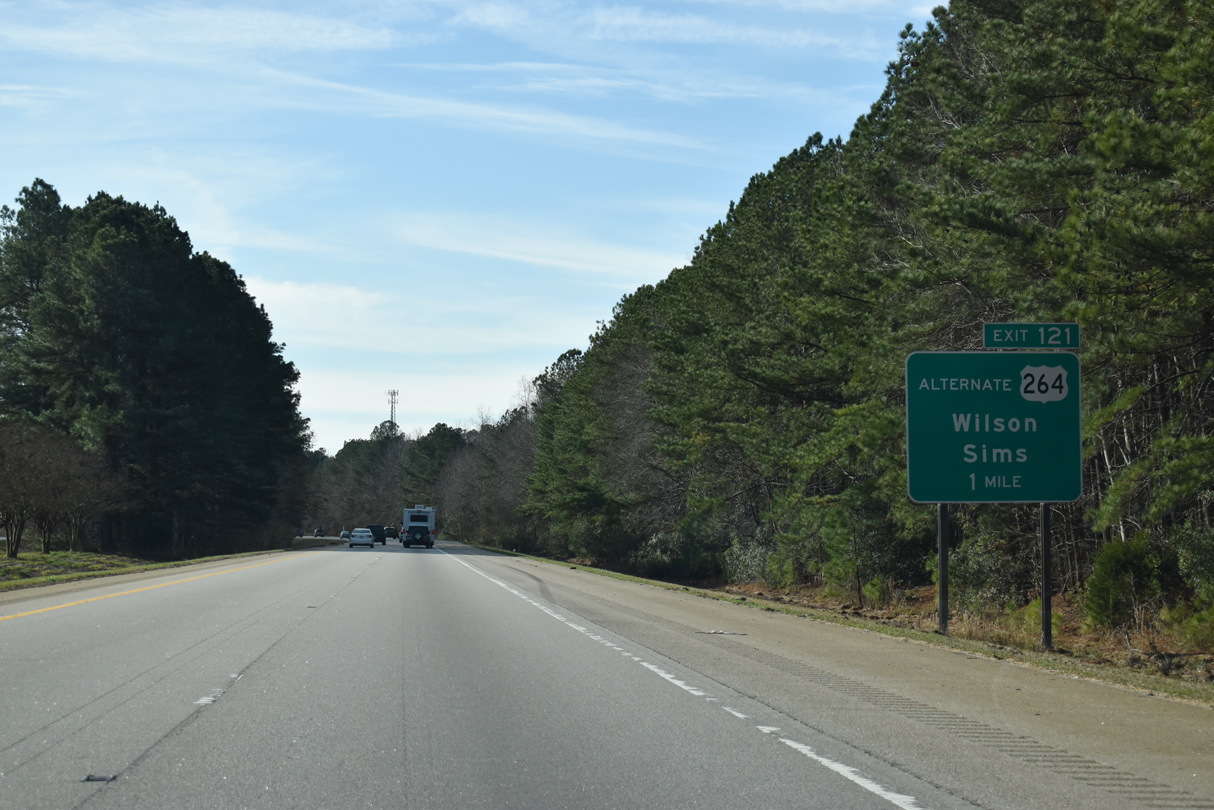
Interstate 95 proceeds south from the Nash County line to a diamond interchange (Exit 121) with U.S. 264 Alternate in western reaches of the city of Wilson.
12/29/25
U.S. 264 Alternate follows the pre-freeway alignment of U.S. 264 west to Sims, Bailey and Middlesex. Eastward U.S. 264 ALT acts as a business route for I-587-795/U.S. 264 to Downtown Wilson.
12/29/25
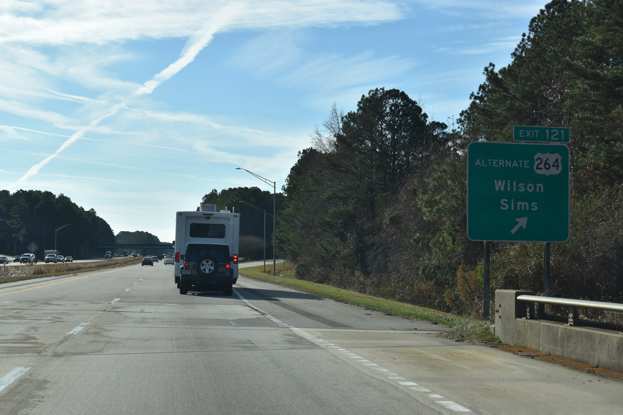
U.S. 264 Alternate connects with the U.S. 264/Future I-587 west to Zebulon and Raleigh, 1.38 miles from I-95.
12/29/25
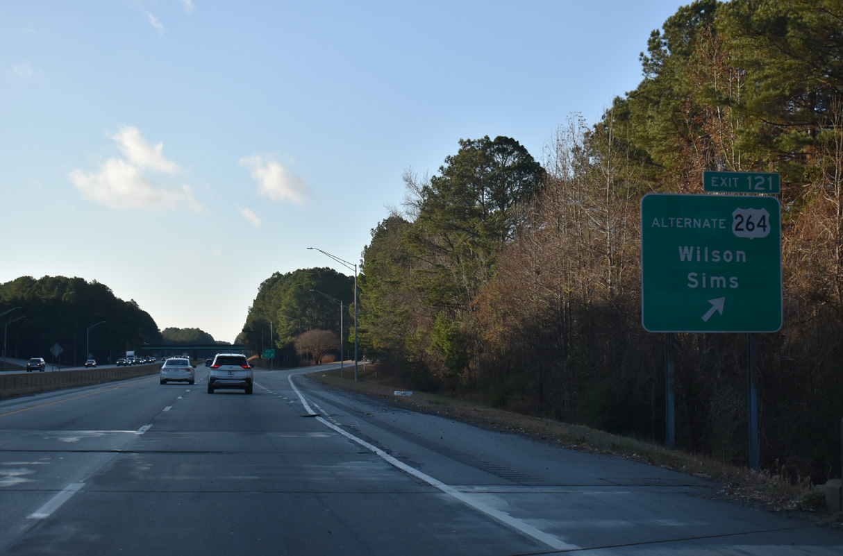
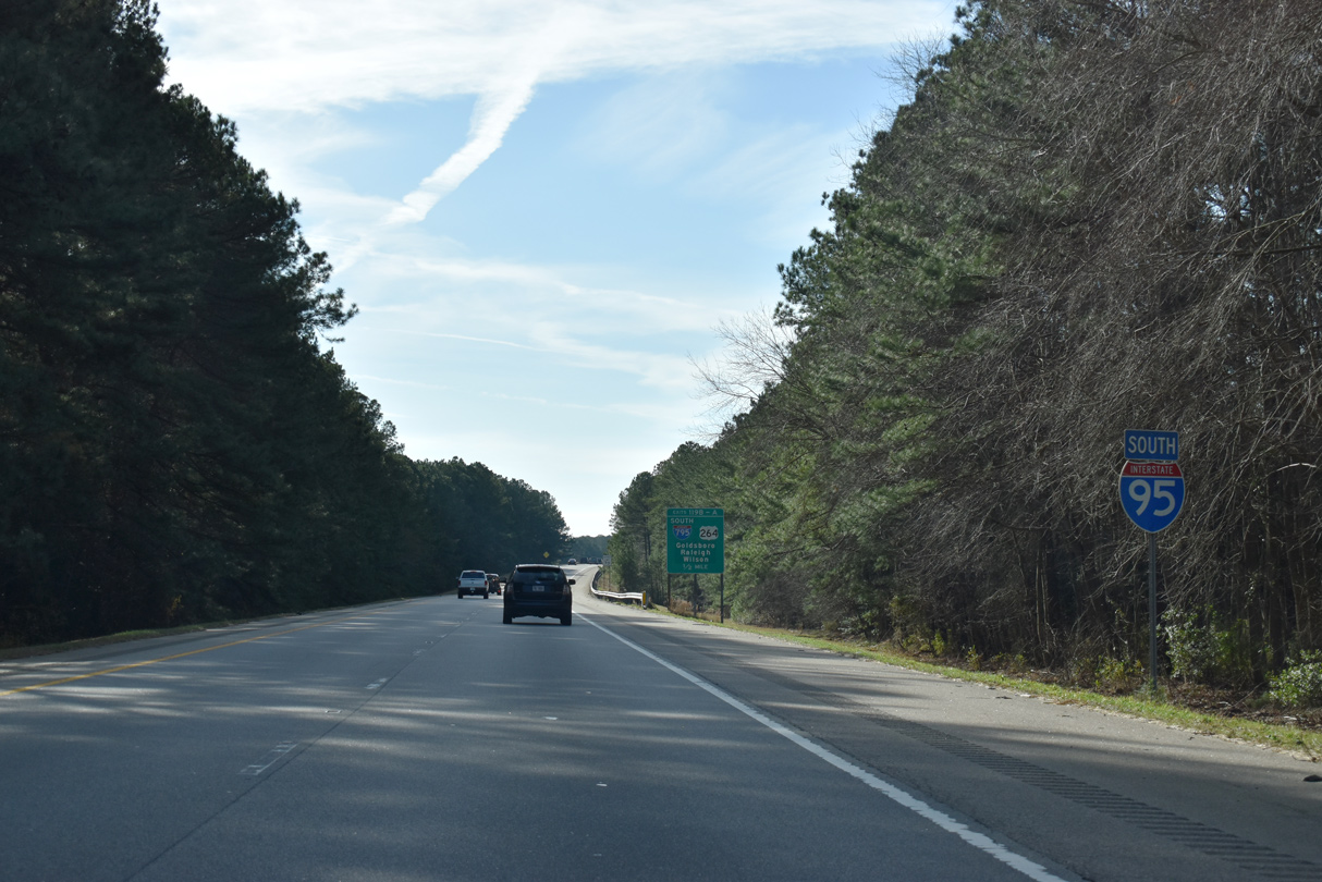
Exit 121 leaves I-95 south after Bloomery Swamp for U.S. 264 Alternate (Raleigh Road Parkway).
12/29/25

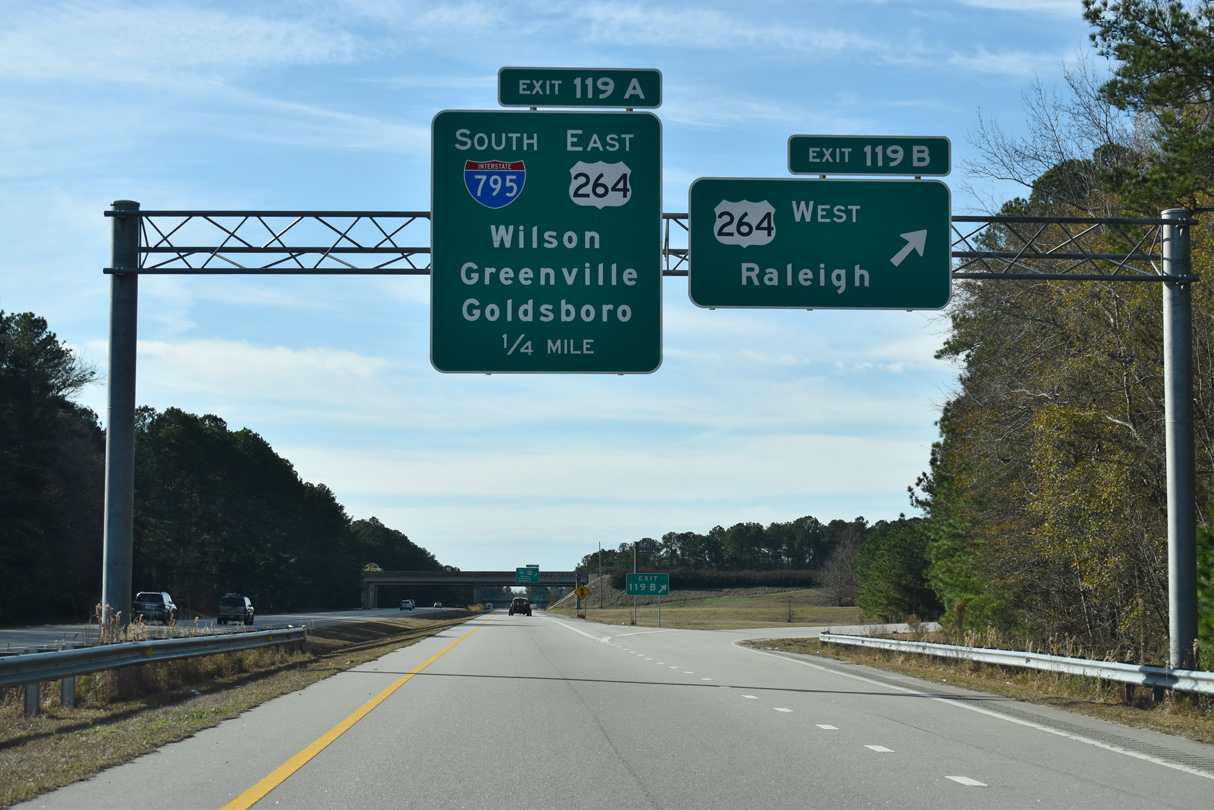
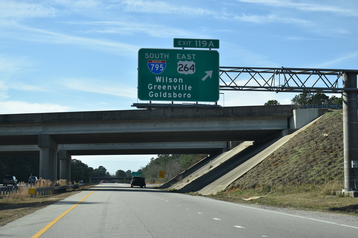
U.S. 264 curves south from U.S. 264 Alternate near Sims to bypass Wilson alongside I-587 east before shifting southward through Farmville en route to Greenville. I-795 combines with I-587/U.S. 264 east for 4.4 miles before turning south to Goldsboro.
12/29/25
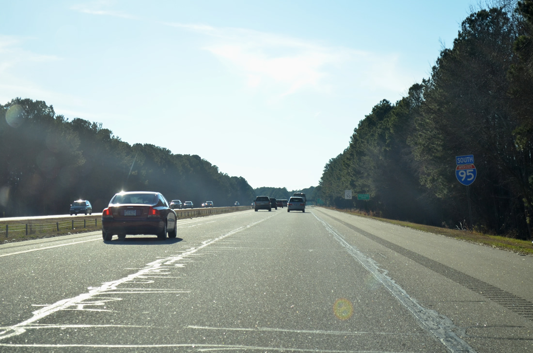
Interstate 95 spans a Norfolk Southern Railroad midway between U.S. 264 ALT and Exit 119 with I-587-795/U.S. 264.
12/29/25
Designated on October 7, 2007, Interstate 795 stretches 25.42 miles south from I-95 to U.S. 70 at Goldsboro. I-795 replaced U.S. 117 from U.S. 264 southward, with U.S. 117 shifting back to its parallel alignment.
12/29/25
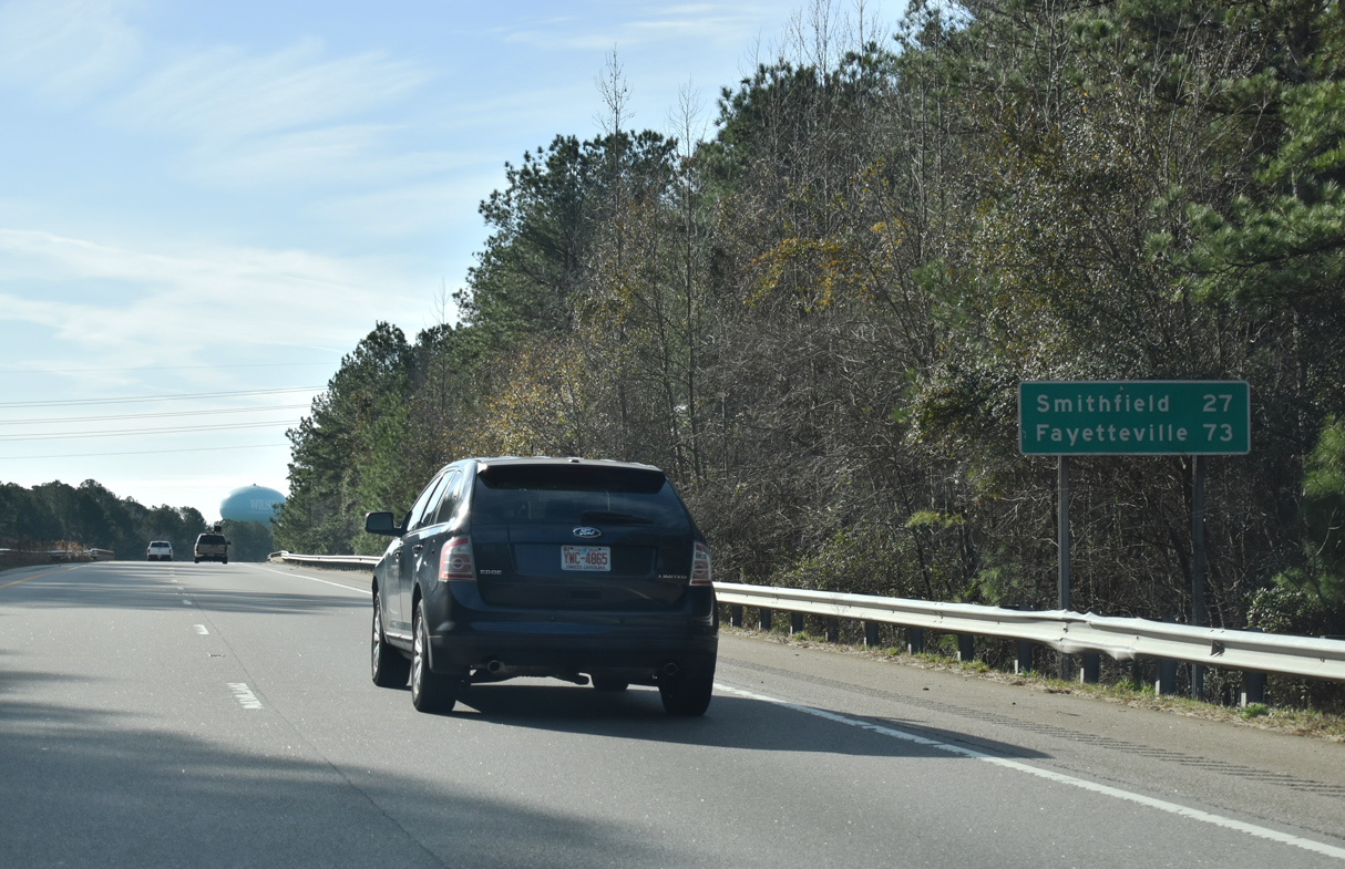
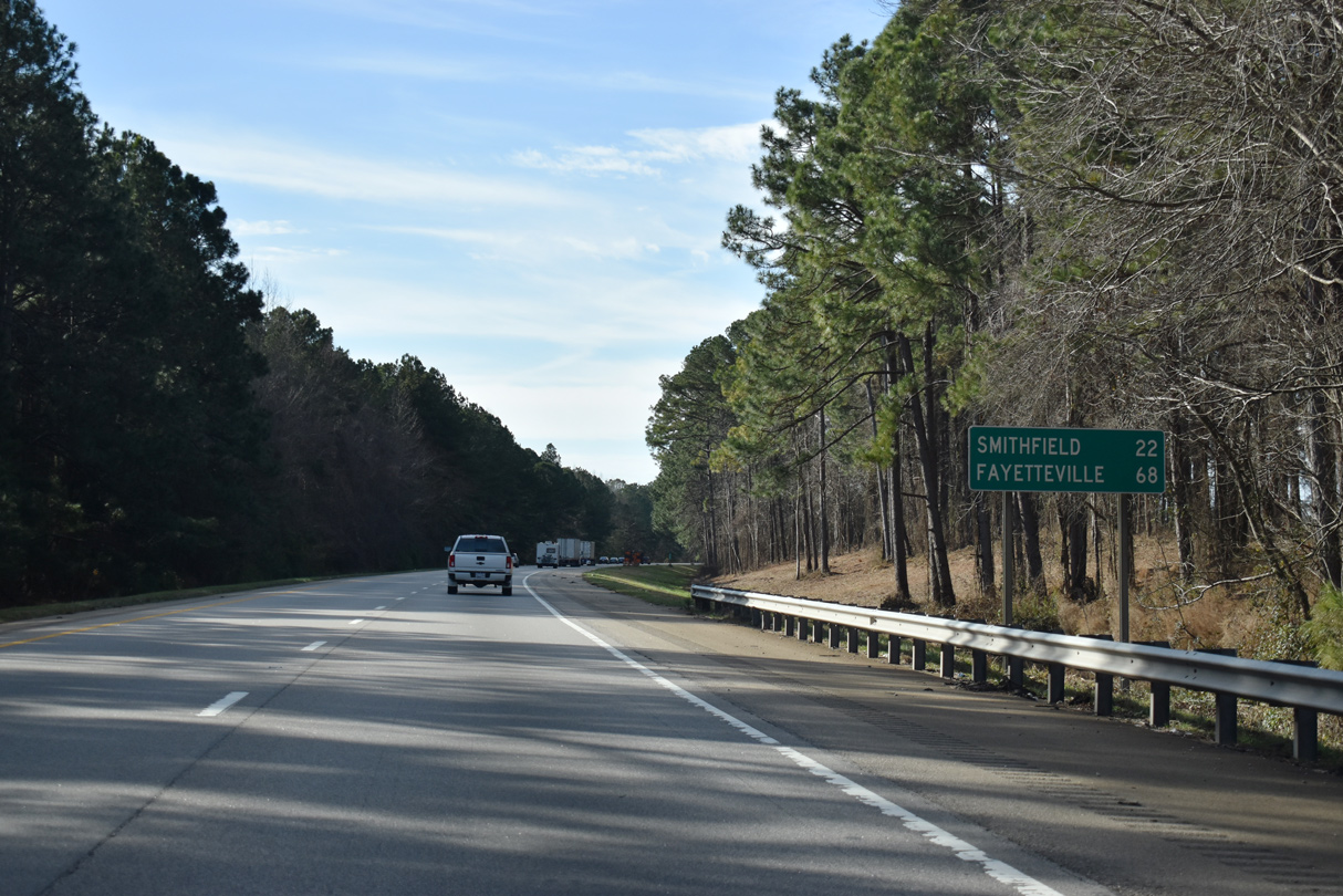
A distance sign predating the 2004 completion of the U.S. 264 Wilson bypass lists Smithfield at 27 miles and Fayetteville at 73 miles.
12/29/25
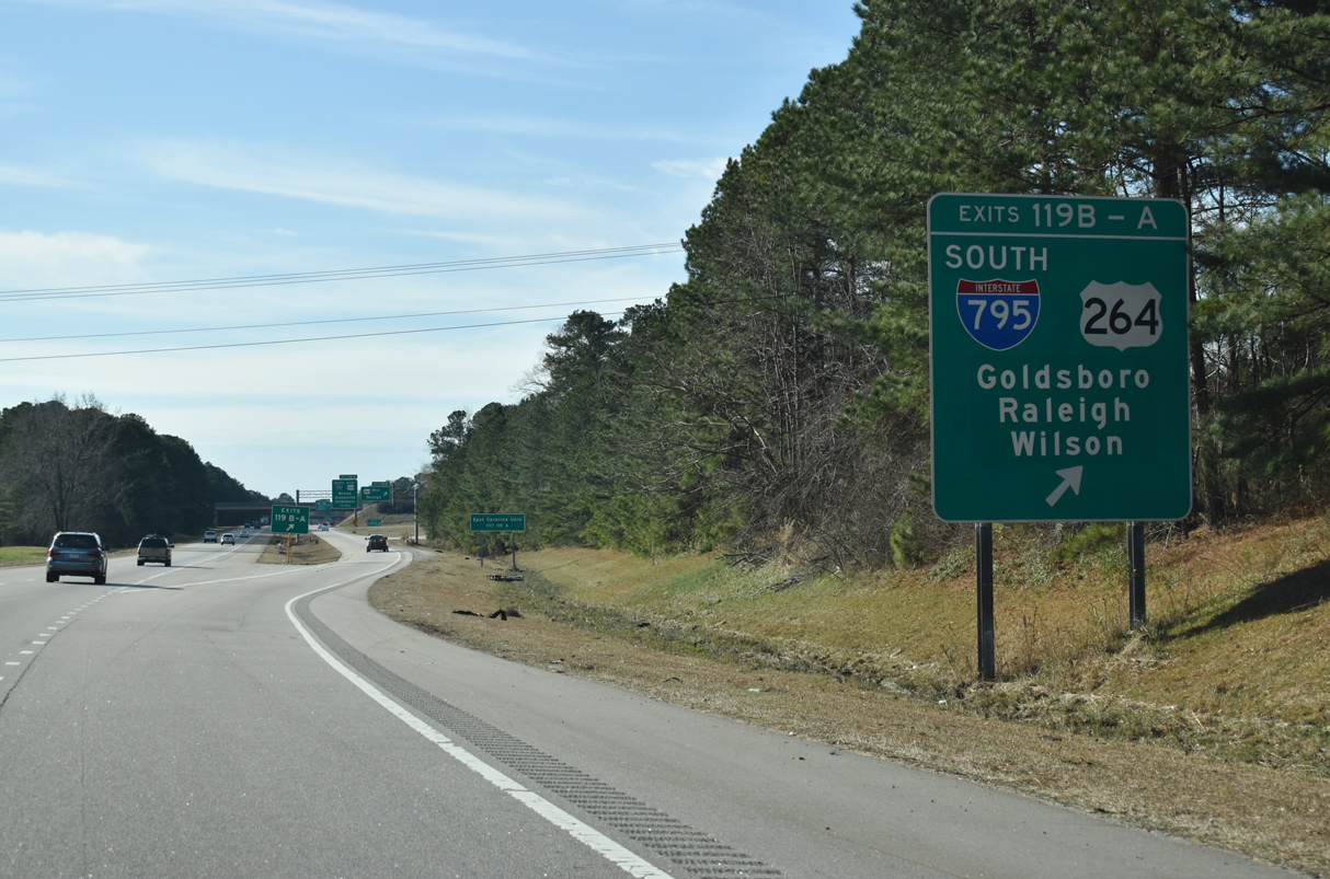
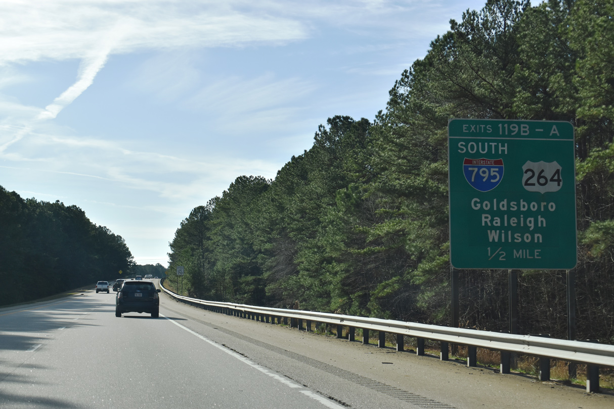
A c/d roadway separates at Exit 119 for I-587 east, I-795 south and U.S. 264.
12/29/25
U.S. 264/Future I-587 extends west from I-95, 18.5 miles to U.S. 64 west at Zebulon. U.S. 264 overlaps with U.S. 64 and I-87 to Interstate 440 in Raleigh.
12/29/25
I-795 extends south from I-587/U.S. 264 to Goldsboro. A planned extension lengths the spur south to I-40. I-587 continues east from U.S. 264 and Wilson to Greenville. U.S. 264 provides a second route to the Outer Banks via U.S. 64 near Manns Harbor.
12/29/25
Interstate 95 continues to the St. Rose Church Road overpass near Fillmore beyond this shield assembly.
12/30/12
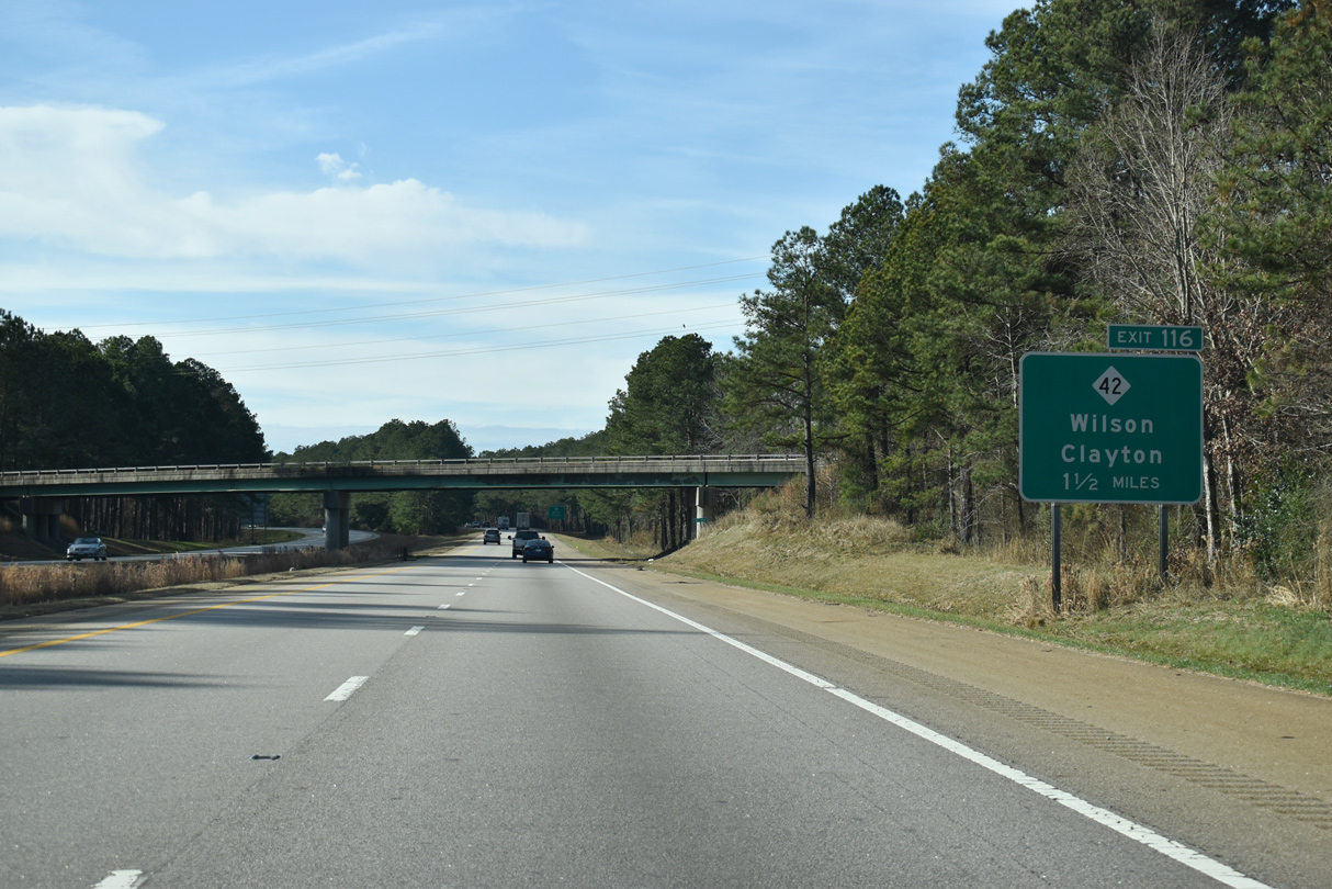
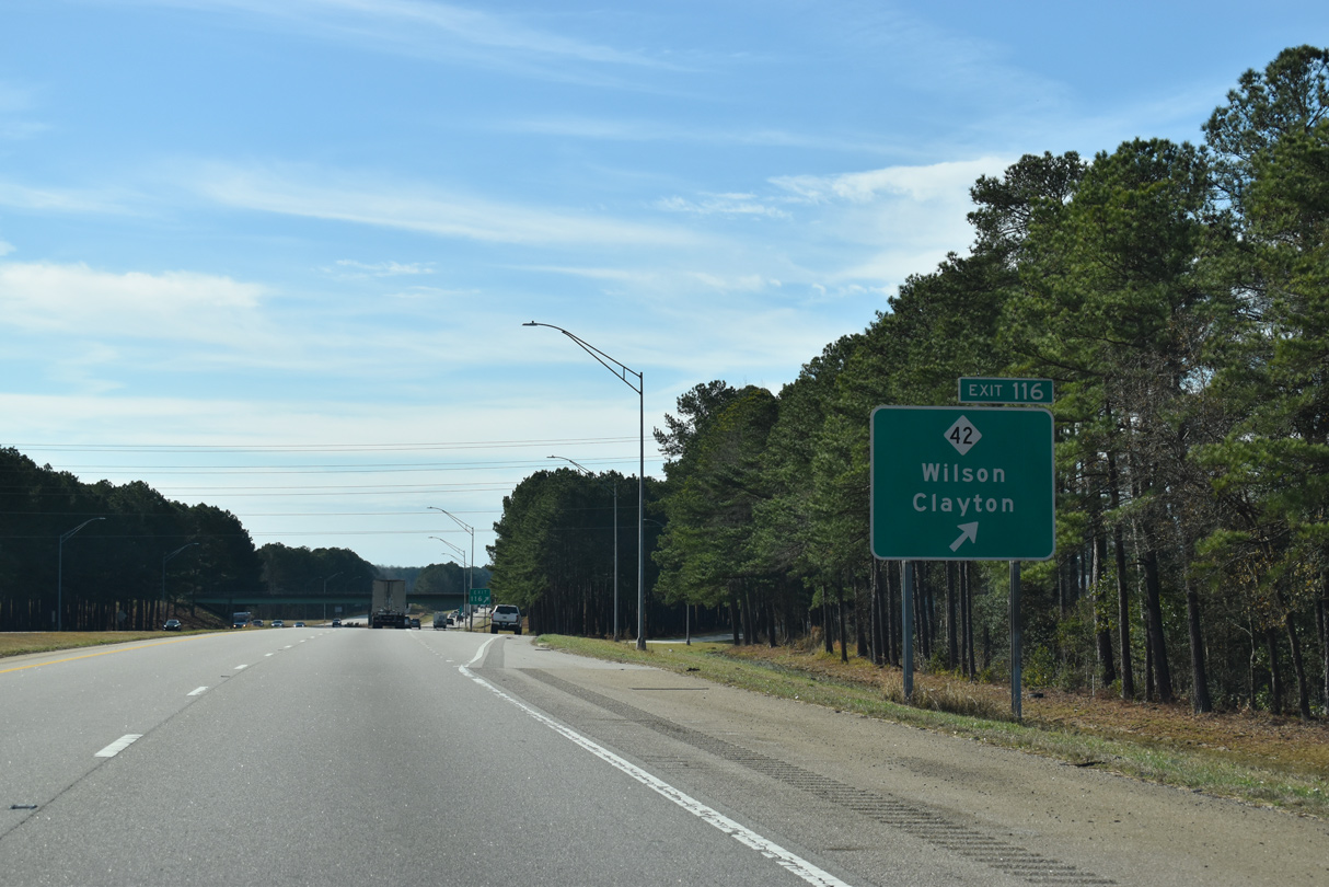
The diamond interchange (Exit 116) with NC 42 near Rock Ridge is the final connection to Wilson from Interstate 95 south.
12/30/20

A 222 mile long highway, NC 42 travels west across the state to Sanford and Asheboro and northeast from Wilson to Colerain.
12/30/20
Within Wilson County, NC 42 heads 4.07 miles west to NC 581 at Buckhorn Crossroads and east along a four lane highway 2.56 miles to I-587-795/U.S. 264. Beyond I-587/795, NC 42 constitutes a five lane boulevard to Tarboro Street in Wilson.
12/30/20
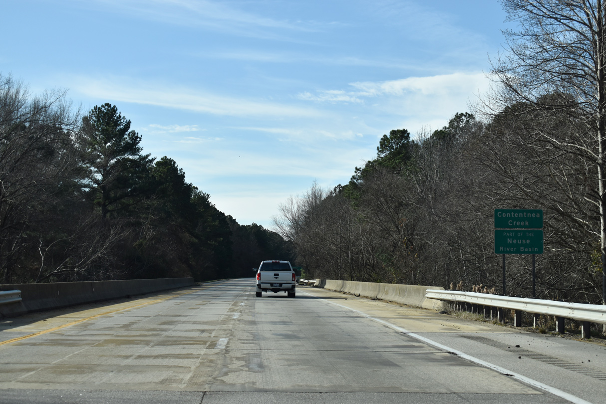
Interstate 95 south crosses Contentnea Creek north of Moores Crossroads.
12/30/20
The Johnston County seat of Smithfield lies 22 miles to the south along parallel U.S. 301.
12/30/20
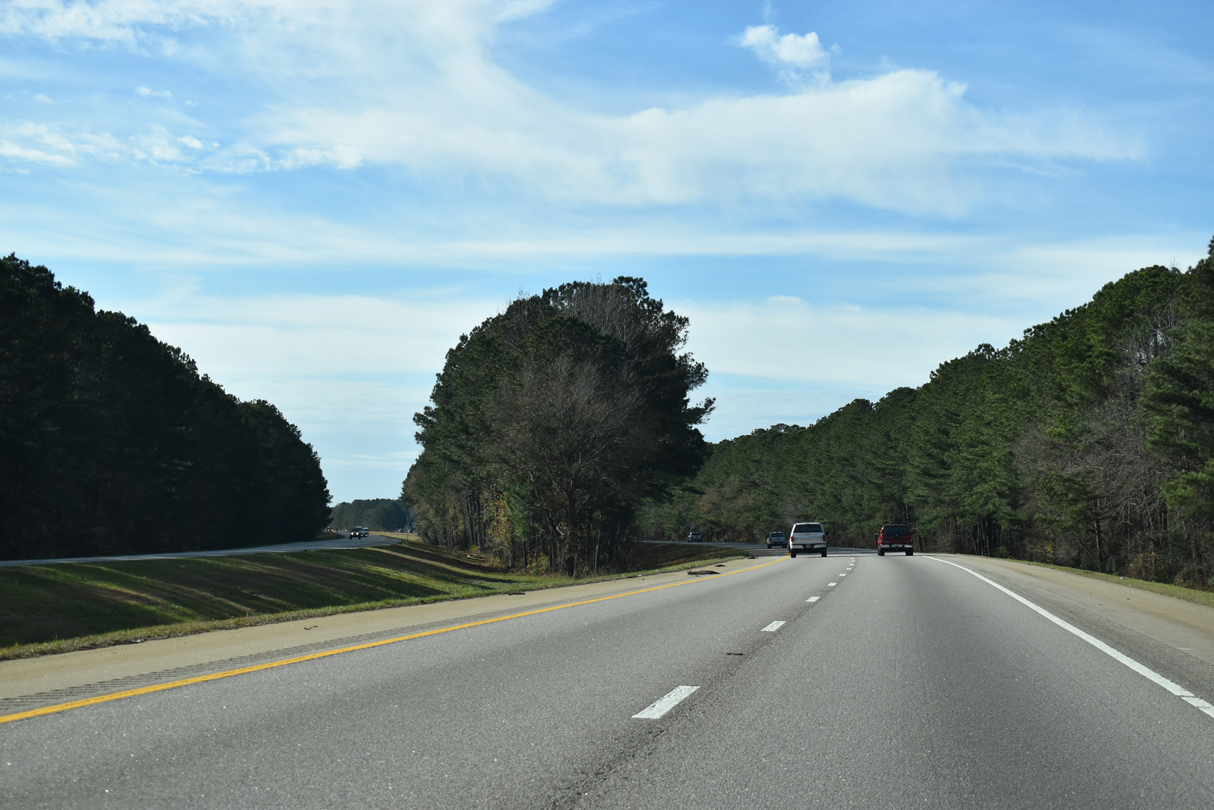
The roadways of I-95 diverge across an area of wetlands southwest of NC 581.
12/30/20
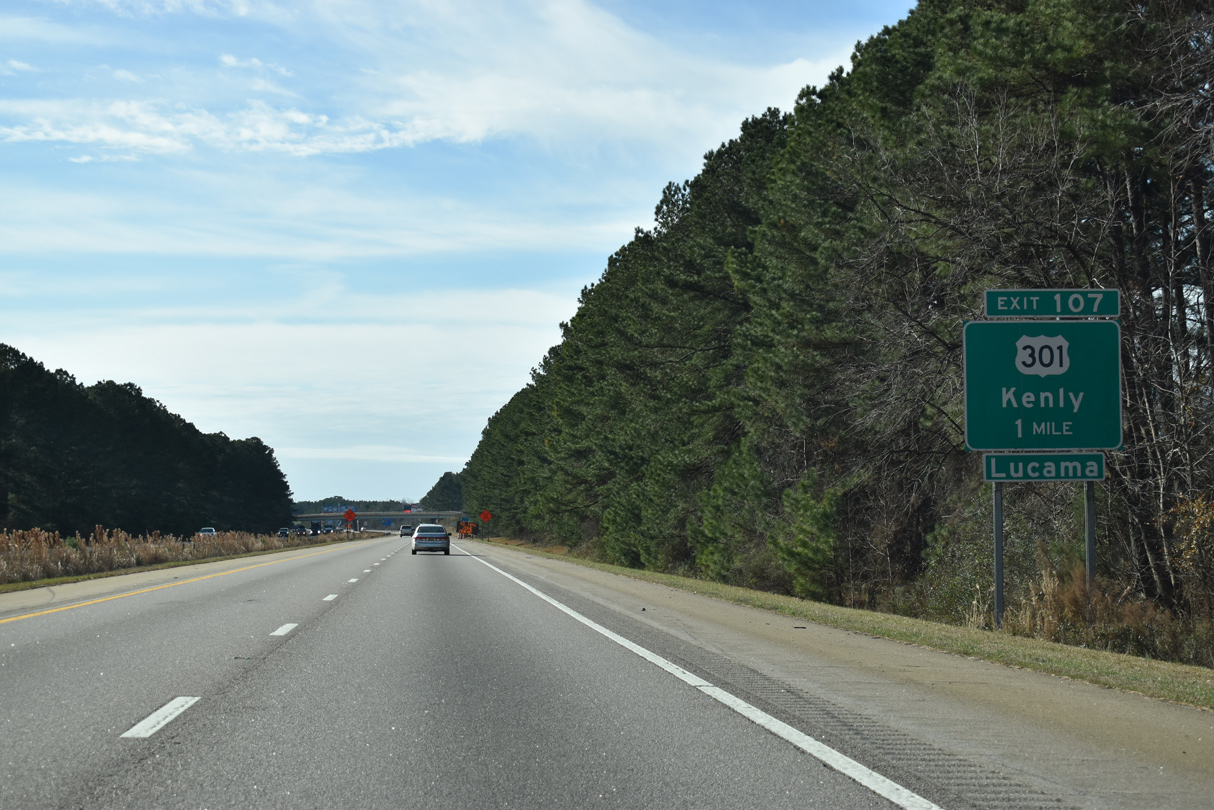
U.S. 301, which last crossed I-95 directly outside Emporia, Virginia, returns at Exit 107 by the town of Kenly in Johnston County.
12/30/20

I-95 south enters Johnston County ahead of the NC 222 overpass on the north side of Kenly.
12/30/20
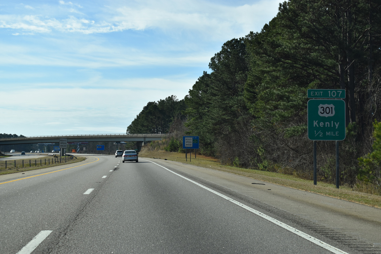
I-95 south converges with U.S. 301 (Church Street) at a parclo interchange (Exit 107) within Kenly. Continuing southwest, U.S. 301 follows I-95 to Micro and Selma.
12/30/20
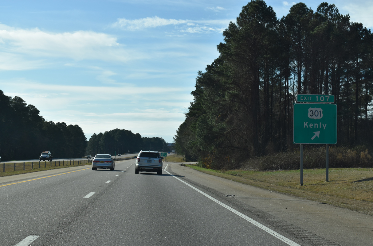
U.S. 301 heads northeast to NC 222 (2nd Street) in Kenly before expanding to a divided highway en route to Lucama and Wilson. This stretch represented the southern extent of the former Business Loop I-95.
12/30/20
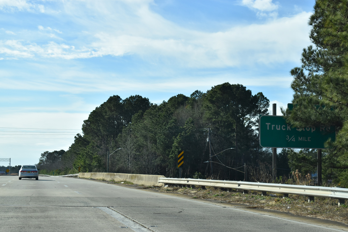
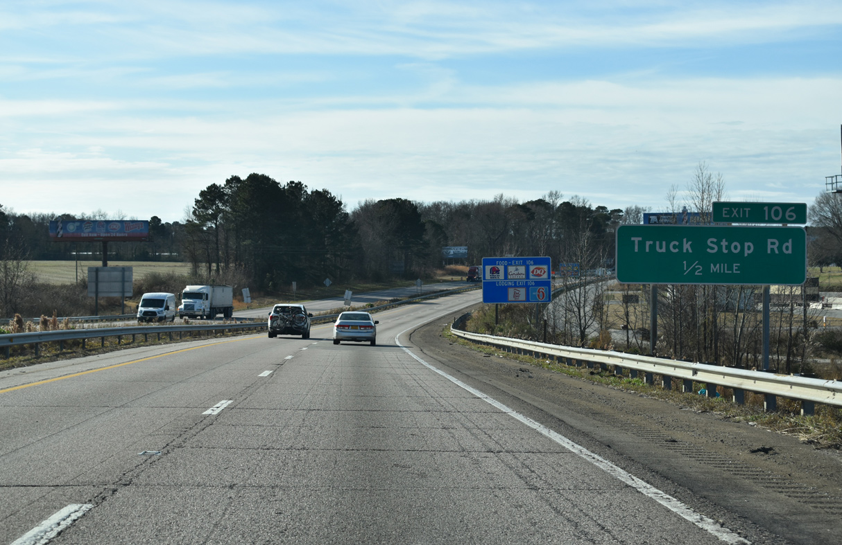
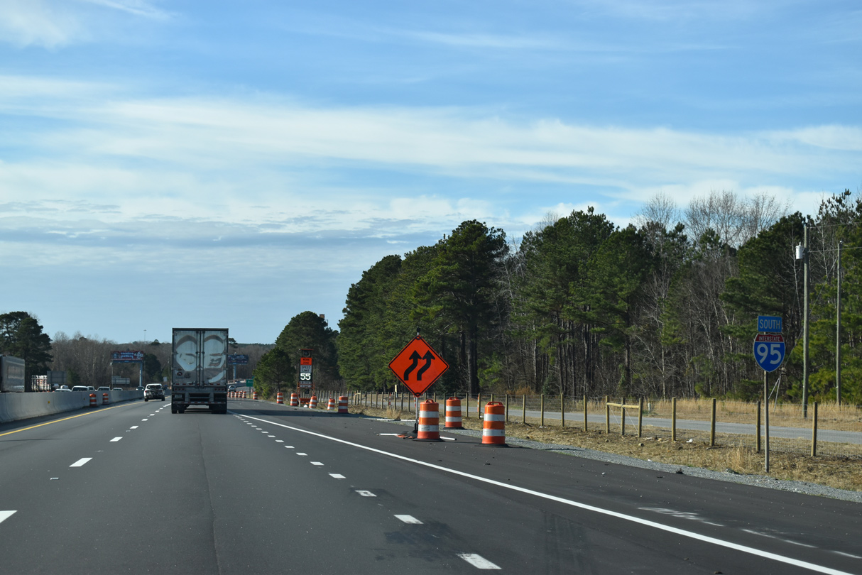
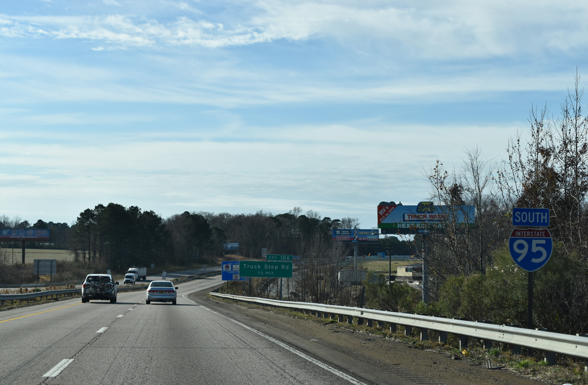
Populated with a number of closely placed interchanges, I-95 was completed between Kenly and Fayetteville by 1961. A diamond interchange (Exit 106) follows with Truck Stop Road.
12/30/20
Interstate 95 spans the parallel CSX Railroad line ahead of Exit 106.
12/30/20
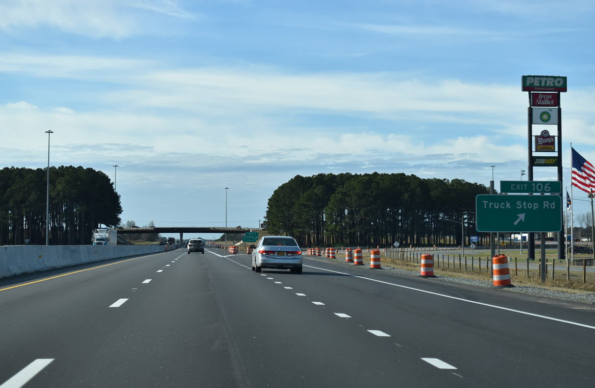
Truckstop Road (SR 2399) stems south from U.S. 301 at J. Howell Road to become Princeton Kenly Road (SR 2342) beyond I-95 en route to Rains Crossroads. A pair of truck stops line the north side of the Exit 106.
12/30/20
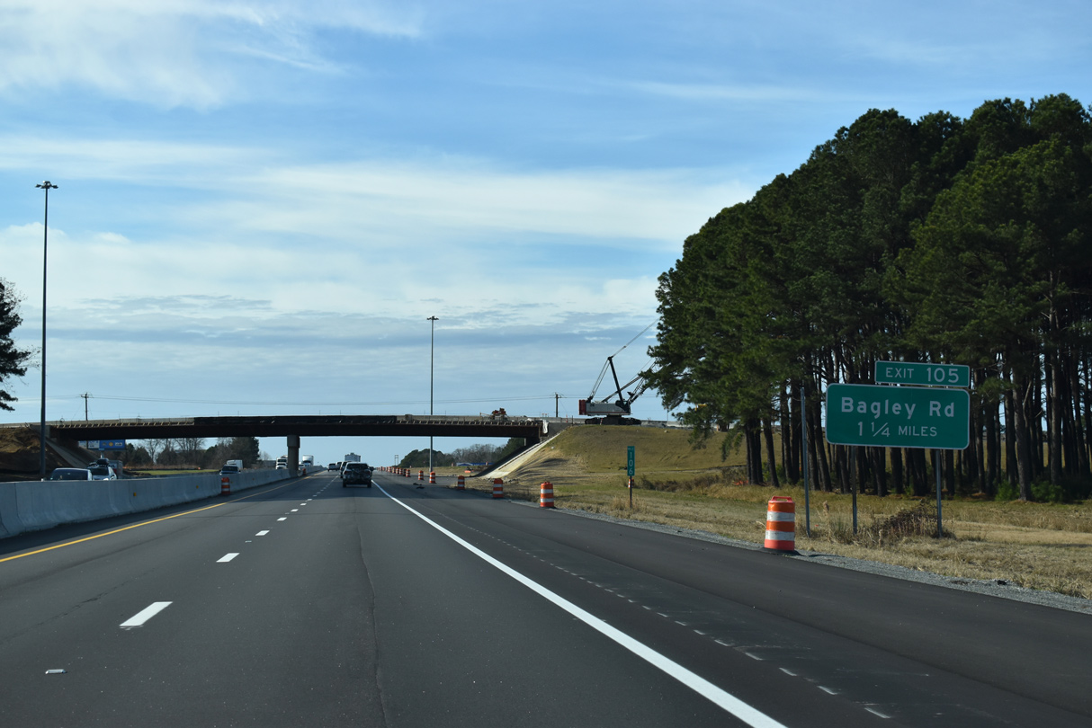
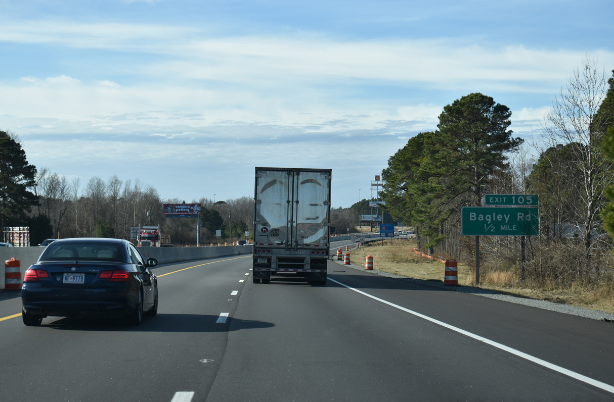
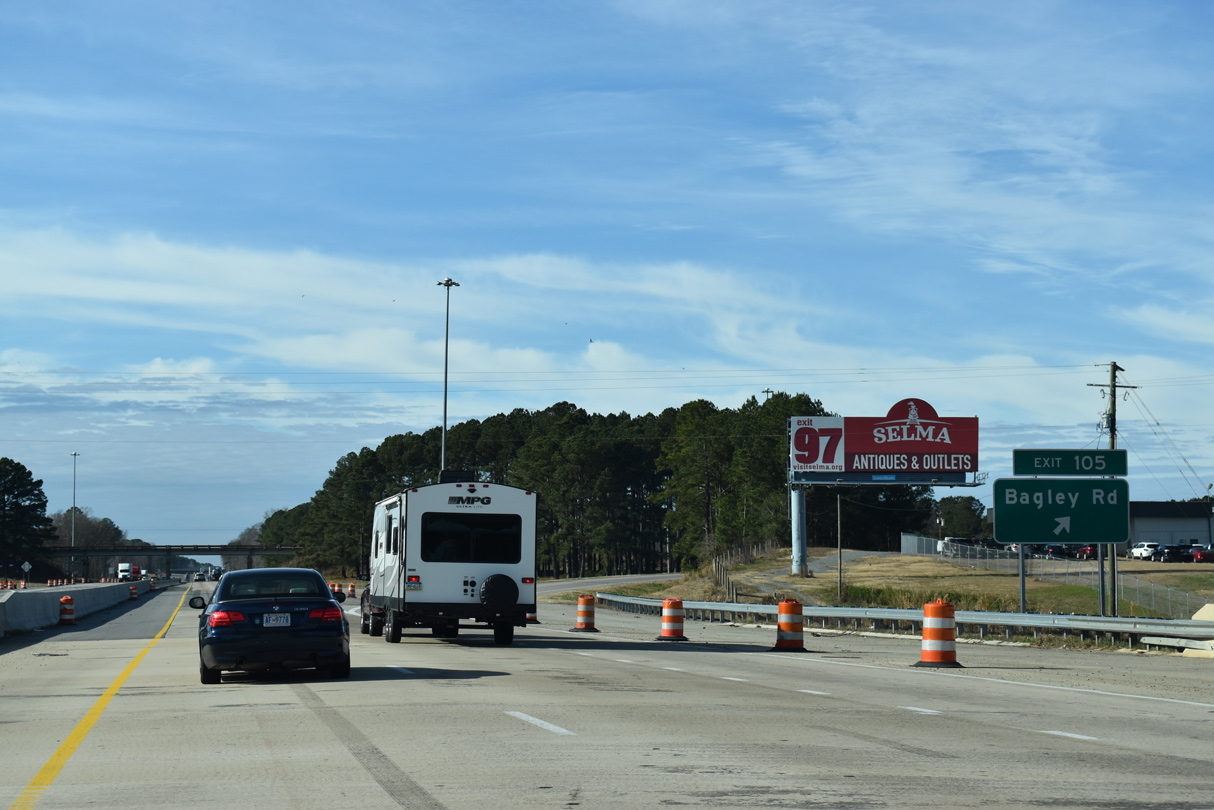
Bagley Road (SR 2339) crosses paths with I-95 at a diamond interchange (Exit 105) in 1.25 miles.
12/30/20
Johnston Parkway Road (SR 2390) runs alongside I-95 south by this confirming marker preceding Exit 105.
12/30/20
Bagley Road (SR 2339) leads 0.58 miles north from I-95 to U.S. 301 at Bagley. South from Exit 105 and Lowell Mill, SR 2339 extends 1.85 miles to Princeton Kenly Road.
12/30/20
Interstate 95 crosses the Little River at the departure of Exit 105 to Bagley Road.
12/30/20
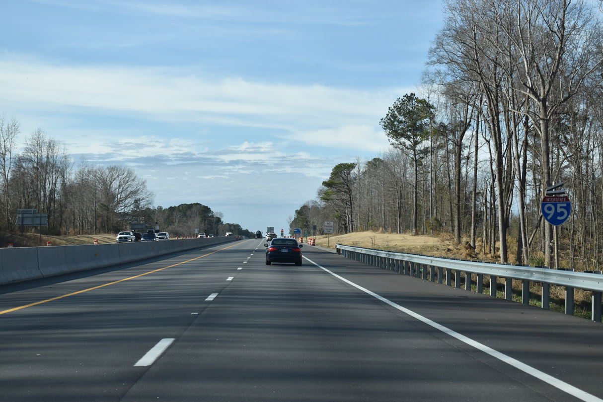
Continuing westward along Interstate 95 south at Big Branch near Oak Grove Inn.
12/30/20
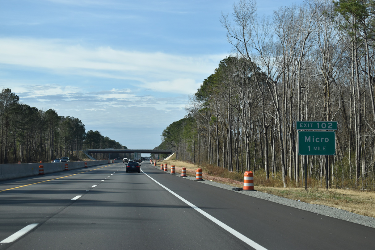
The town of Micro is served from I-95 south by the diamond interchange at Exit 102.
12/30/20
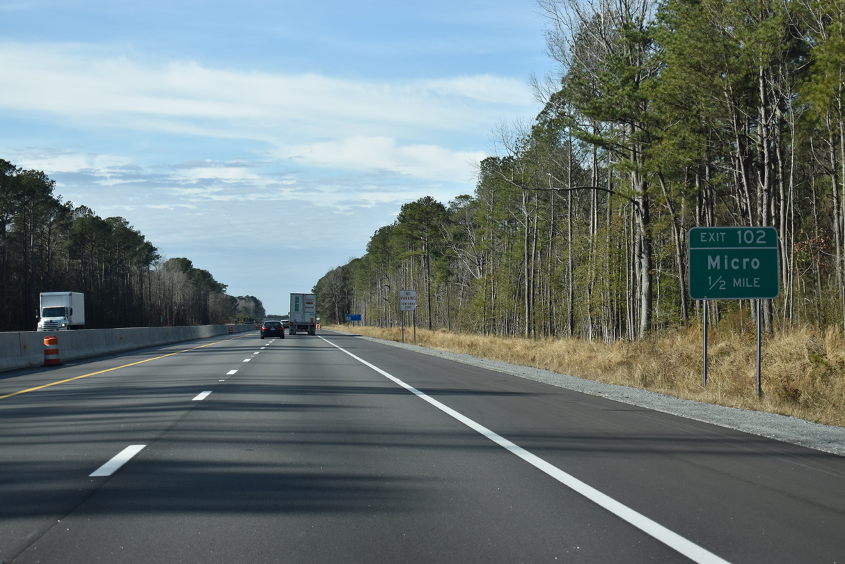
Micro Road and Main Street come together at Exit 102. Micro Road (SR 2130) connects Interstate 95 with parallel Lowell Mill Road to the south.
12/30/20
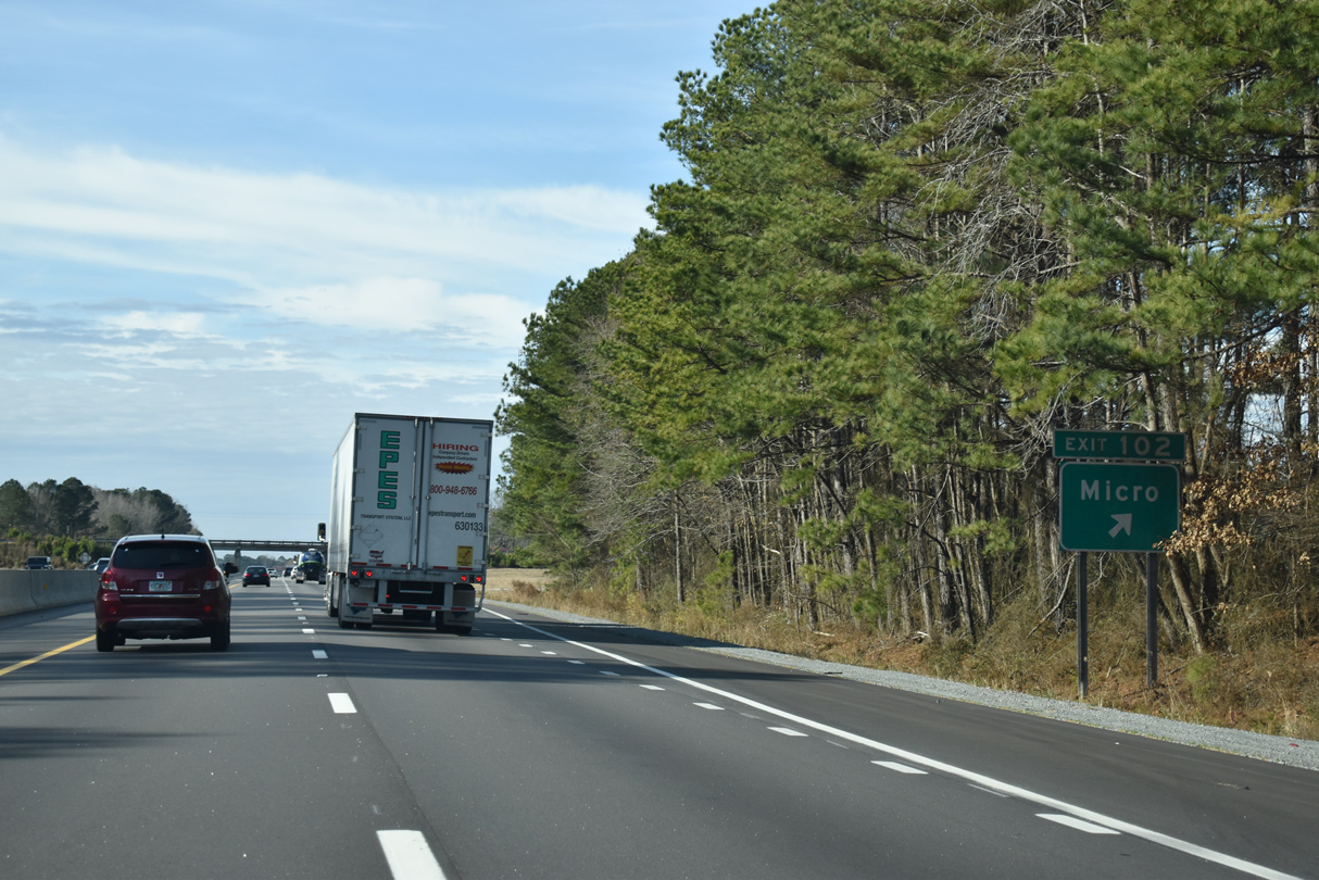
Exit 102 leaves Interstate 95 south for Main Street (SR 2130) into Micro. Main Street reverts back to Micro Road north of town to Old Beulah Road.
12/30/20
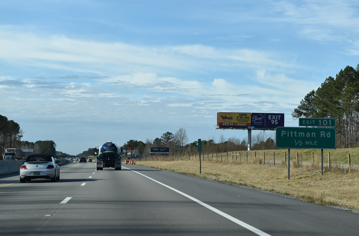
St. Stephens Road (SR 2391) lines the north side of I-95 between Exit 102 and 101 with Pittman Road.
12/30/20
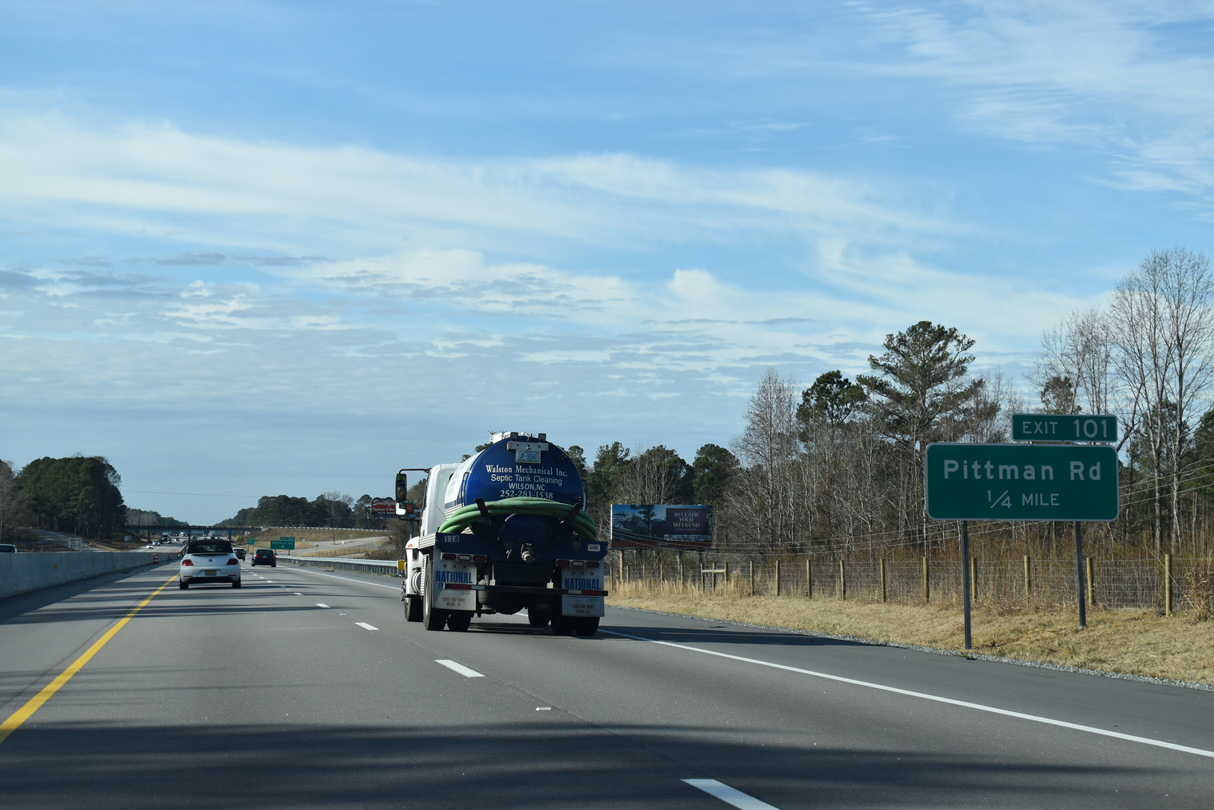
Pittman Road (SR 2137) joins I-95 with Lizzie Mill Road to the south and U.S. 301 at Davis-Homestead Road to the north.
12/30/20
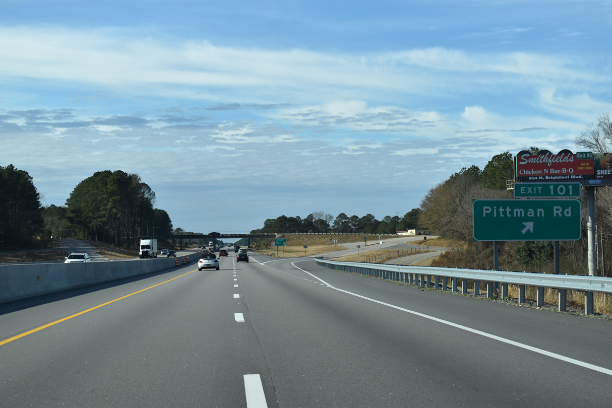
Entering the diamond interchange (Exit 101) with Pittman Road. Ramps on all sides of Pittman Road utilize frontage roads.
12/30/20
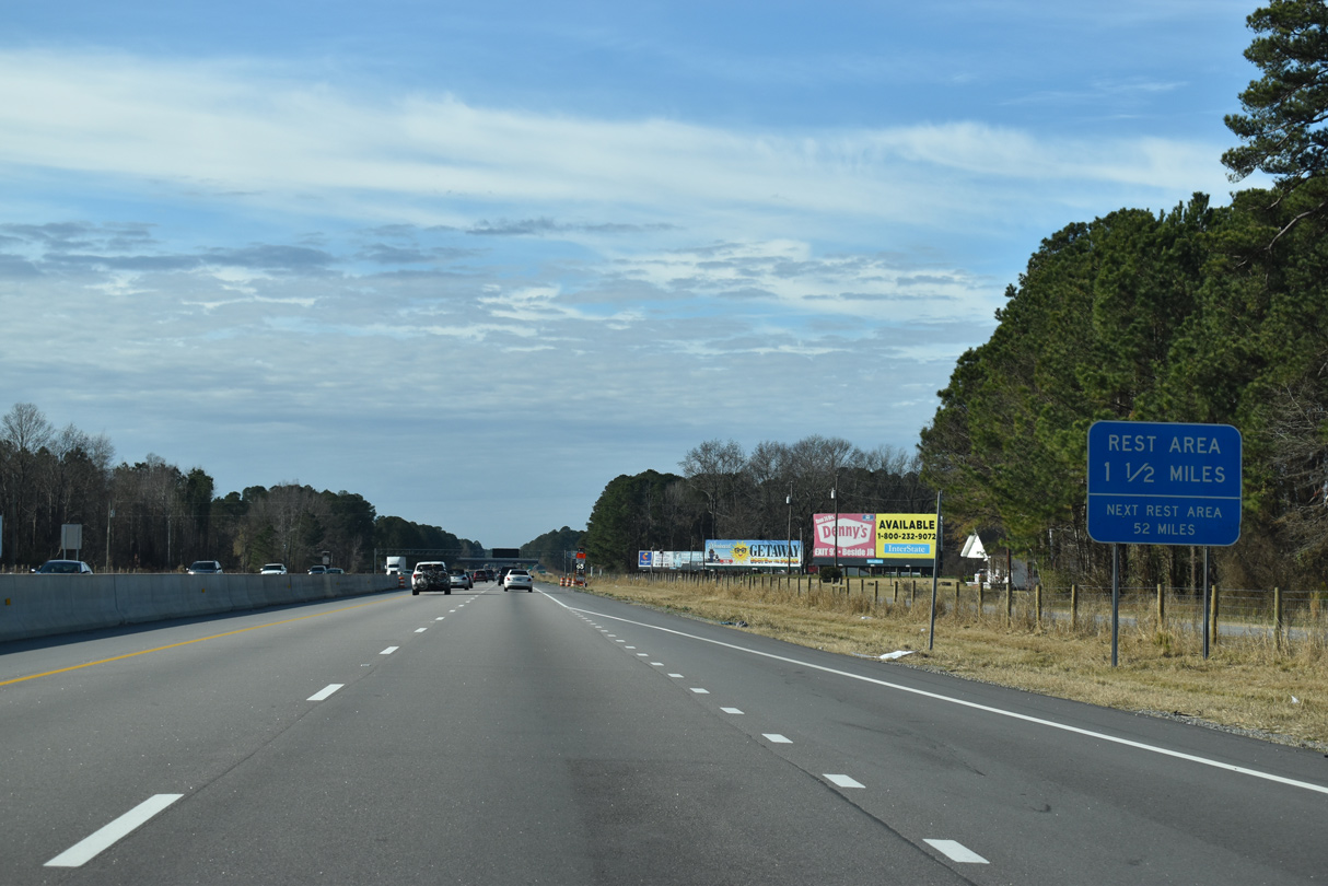
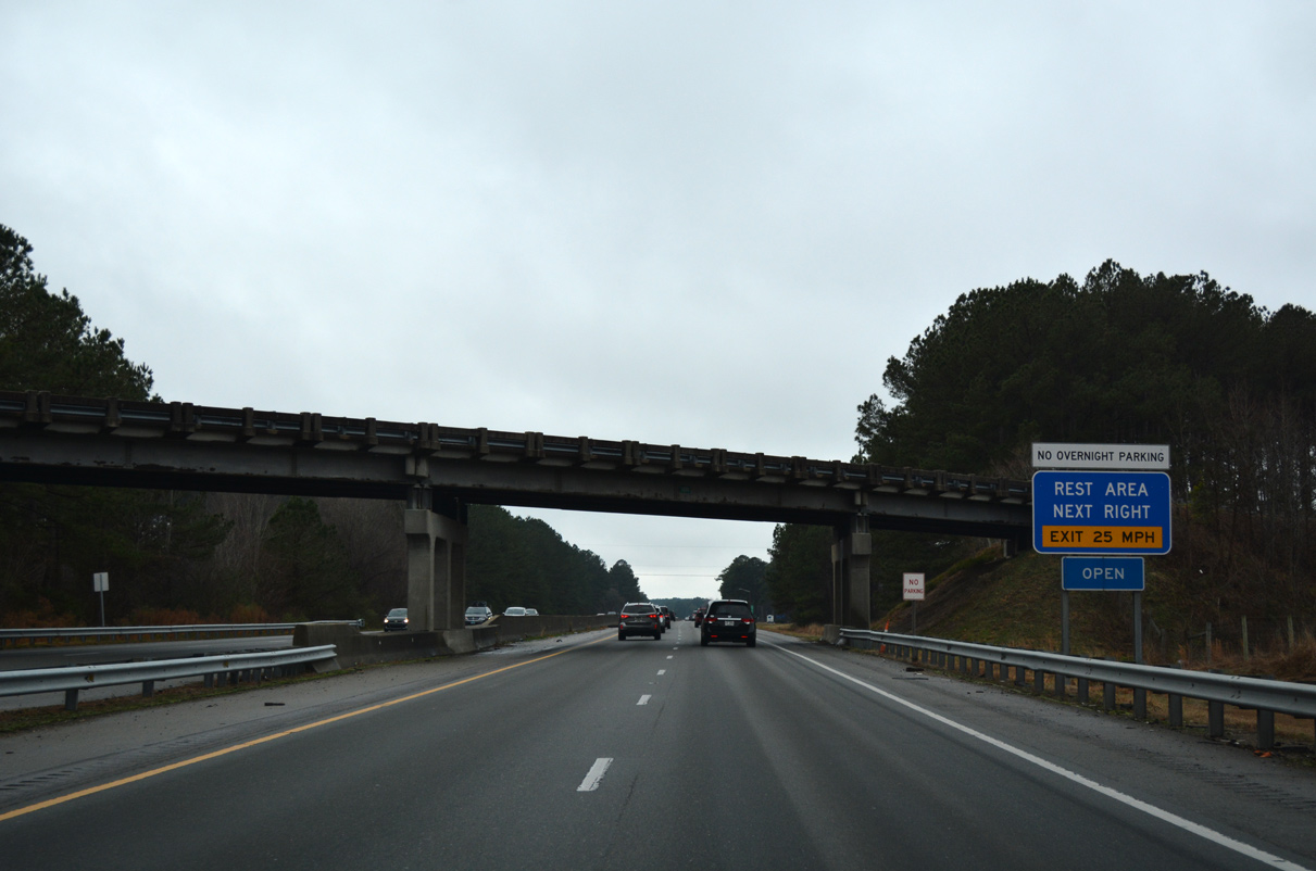
The Johnson County Rest Areas lie west of Crumpler Crossroads ahead of Exit 98 in 1.25 miles.
12/30/20
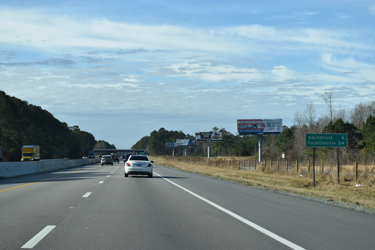
Smithfield, the Johnston County seat, is six miles further on Interstate 95 south. Fayetteville is 54 miles out.
12/30/20
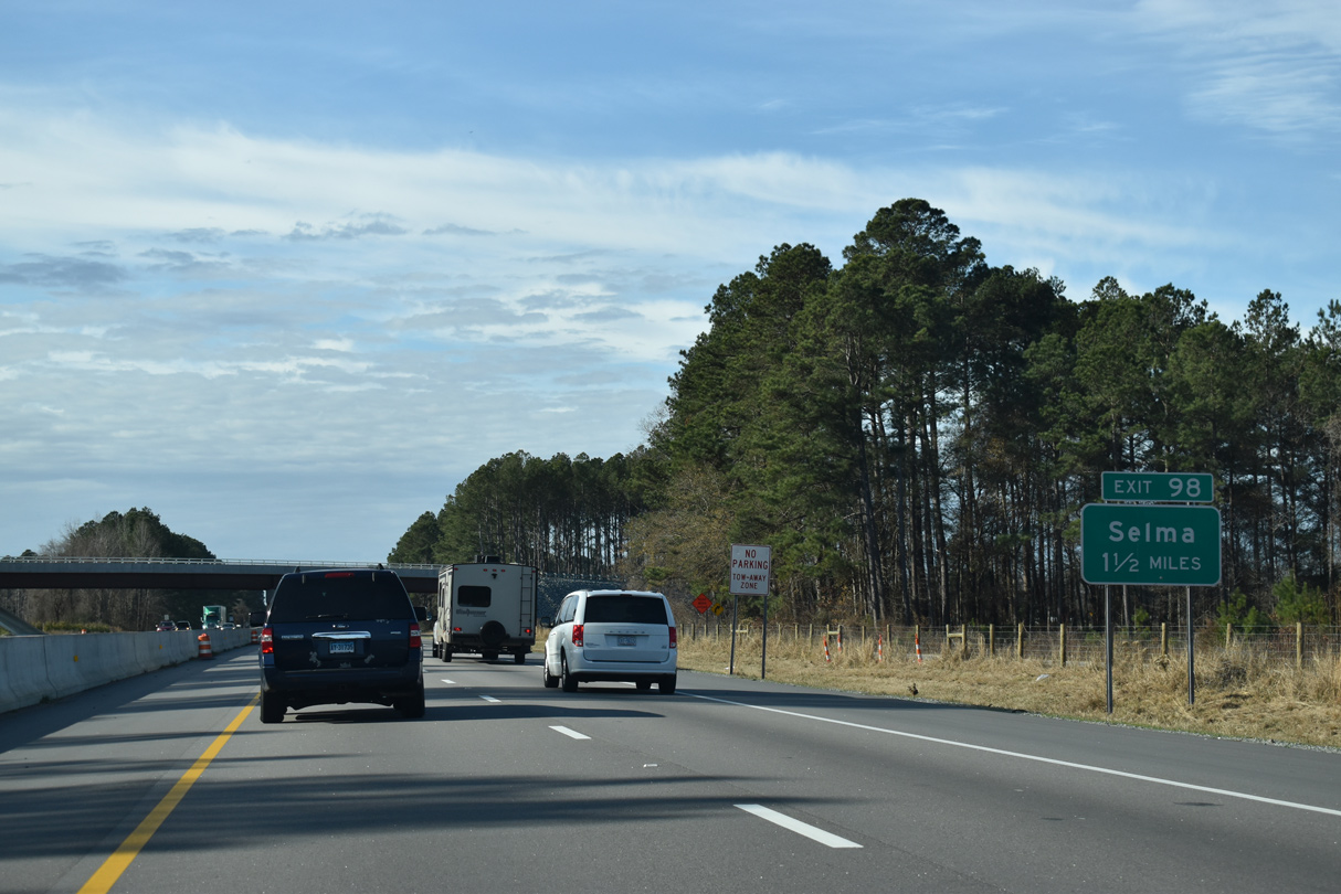
Lizzie Mill Road (SR 1001) switches sides with I-95 ahead of the Johnston County Rest Area and Exit 98. The span for SR 1001 was replaced by Summer 2019.
12/30/20
01/01/17
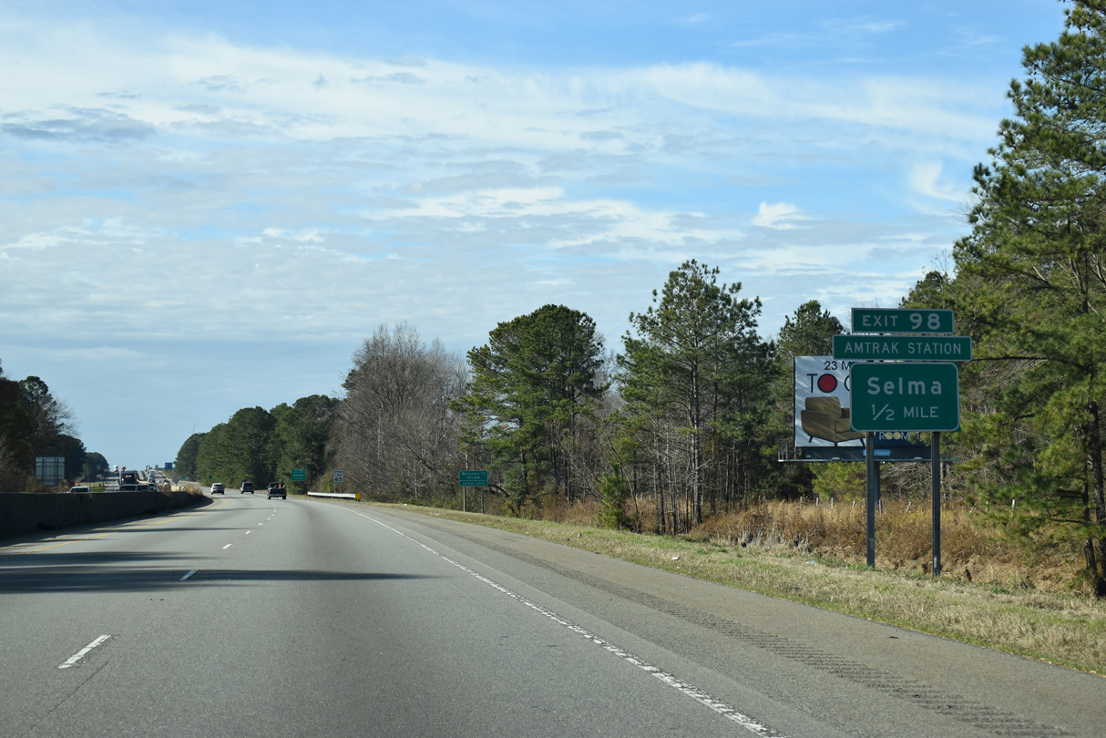
Pine Level Selma Road (SR 1927) joins Anderson Street in the city of Selma with Main Street in the town of Pine Level. Exit 98 provides access to Historic Union Station which serves Amtrak trains. Amtrak follows the CSX railroad line nearby through eastern reaches of Selma.
12/30/20
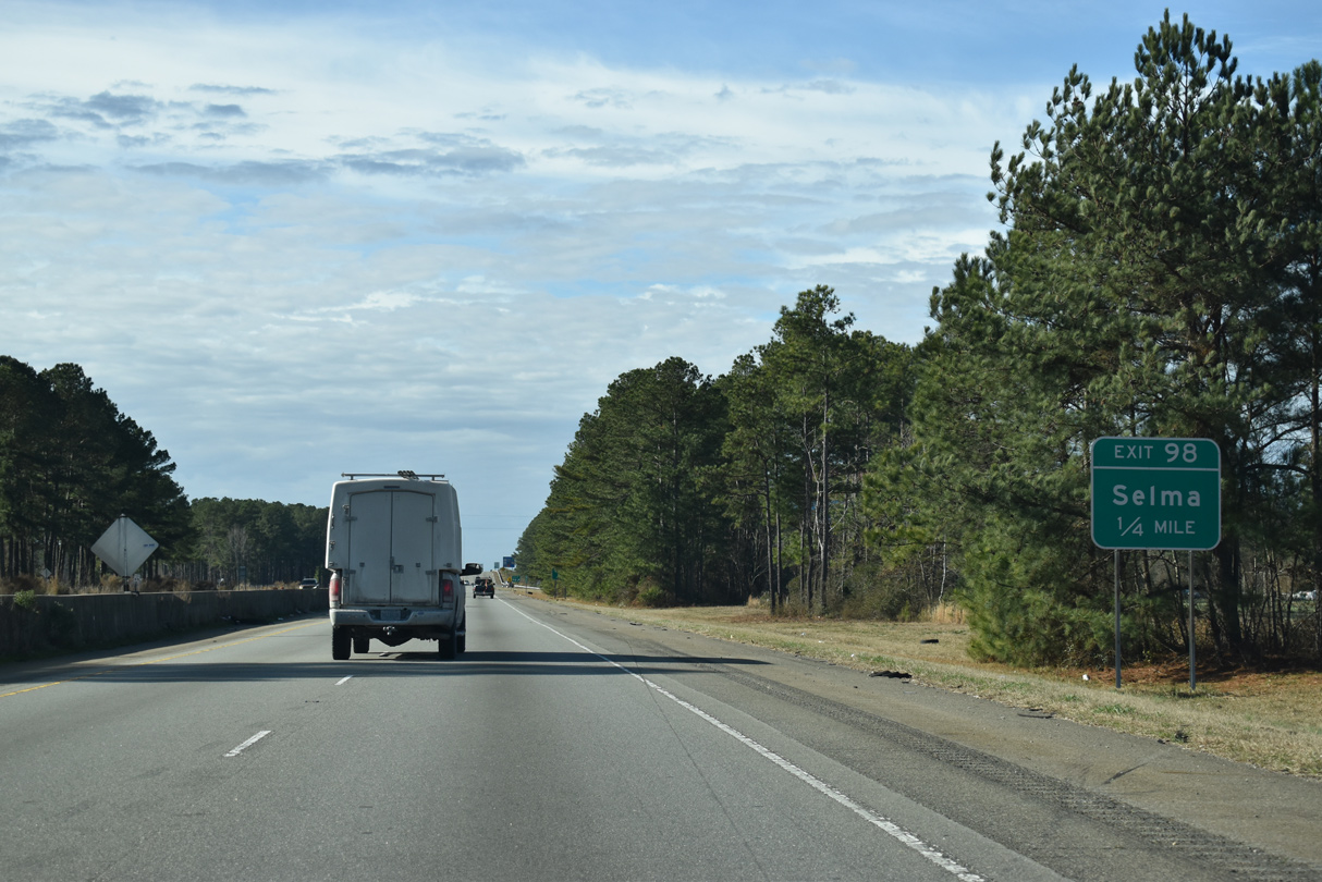
A folded diamond interchange at Exit 98 joins I-95 with Pine Level Selma Road / Anderson Street adjacent to a Norfolk Southern Railroad.
12/30/20
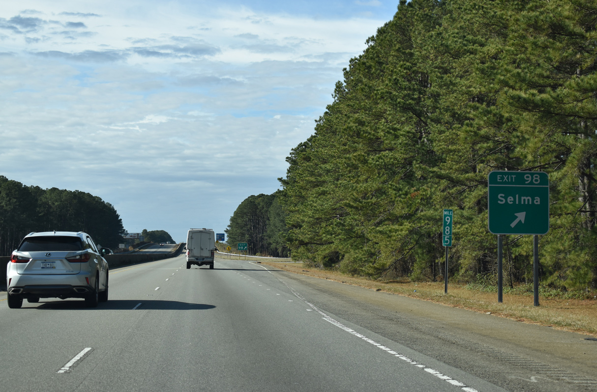
Exit 98 leaves I-95 south for Selma and Pine Level. Anderson Street intersects U.S. 301 and NC 39/96 (Pollock Street) in 0.91 miles at Downtown Selma. NC 39, a multi state highway with Virginia Route 39, ends at U.S. 70 in Selma.
12/30/20
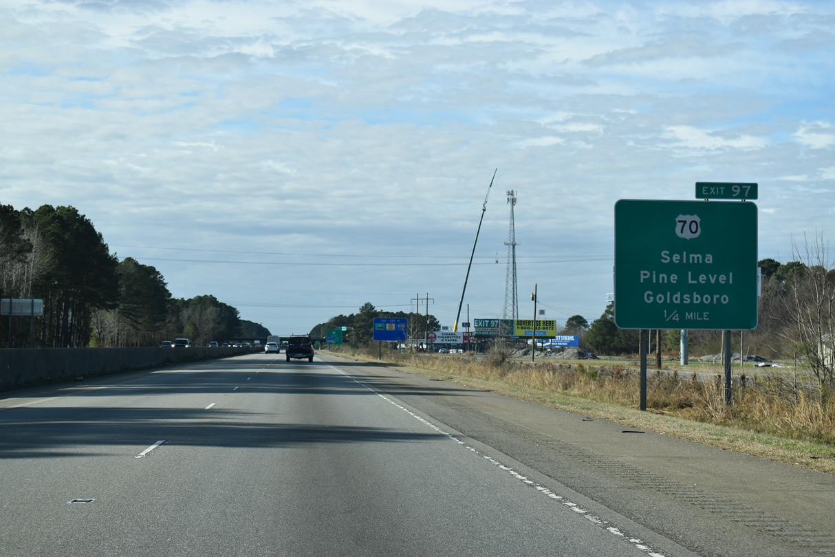
I-95 advances southwest from Exit 98 to meet U.S. 70 at a six-ramp parclo interchange (Exit 97) next.
12/30/20
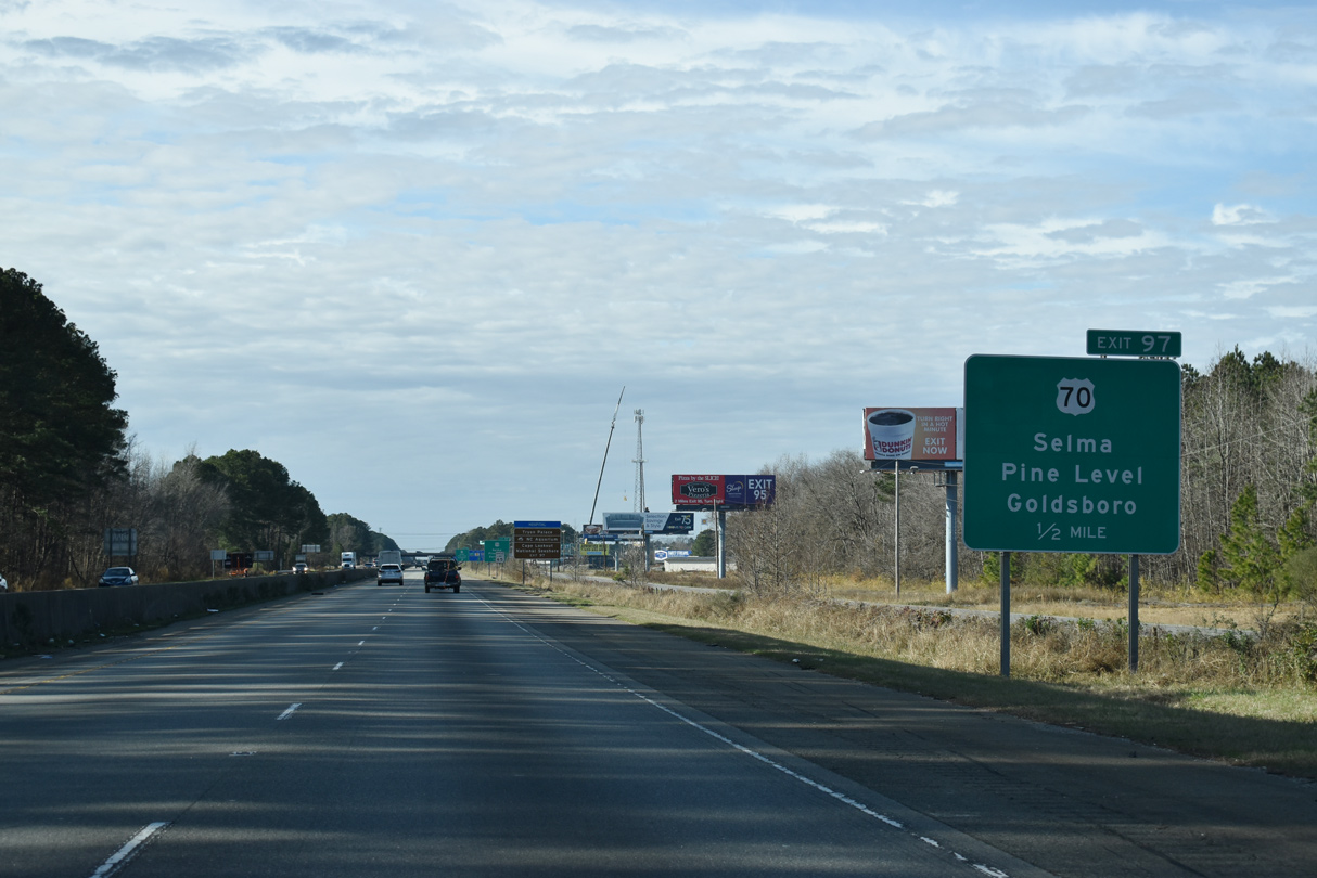
Three branches of U.S. 70 are designated in the Selma and Smithfield vicinity. U.S. 70A splits with U.S. 70 east of Exit 97 en route to Pine Level. U.S. 70 Bypass circumvents Exit 97 along a short freeway segment to the west.
12/30/20
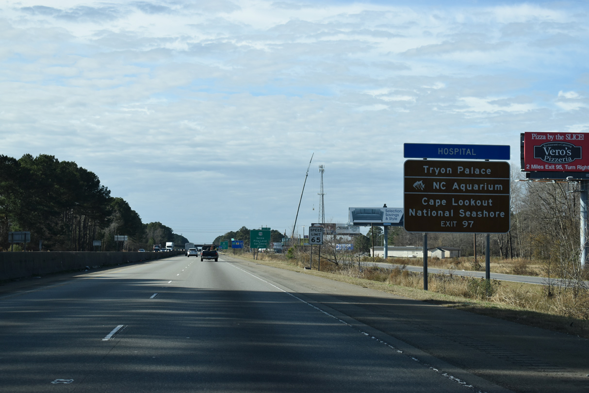
Statewide, U.S. 70 runs 481 miles from Tennessee, west of Hot Springs, to Atlantic along Core Sound, and across from Cape Lookout National Seashore.
12/30/20
U.S. 70 west to Clayton and I-40 and east to Goldsboro, Kinston, New Bern and Morehead City is part of the Future I-42 corridor. As of December 2024, I-42 was designated on bypasses of Clayton and Goldsboro.
12/30/20
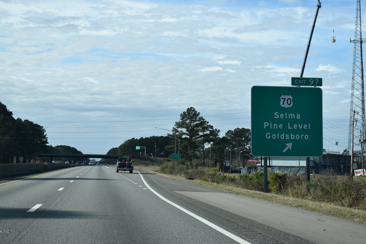
Exit 97 parts ways from I-95 south to U.S. 70 at Selma. U.S. 70 originally traveled west through Smithfield, with U.S. 70A continuing from I-95 to U.S. 301/NC 96 (Brightleaf Boulevard) south.
12/30/20
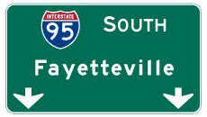

Photo Credits:
- Alex Nitzman: 12/30/20, 12/29/25
- AARoads: 12/30/12, 01/01/17
Connect with:
Page Updated Monday January 19, 2026.