
U.S. 264
An intrastate highway, U.S. 264 provides an alternate route from Raleigh to the Outer Banks of North Carolina. U.S. 264 measures 215.75 miles in length from I-87/440-U.S. 64 (Cliff Benson Beltline) in Raleigh to U.S. 64 near Manns Harbor. Prior to 2003, U.S. 264 overlapped with U.S. 64 east from Manns Harbor to Manteo and Whalebone Junction.
U.S. 264 North Carolina Guides
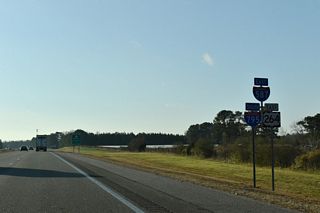
East - Zebulon to Wilson - 51 photos
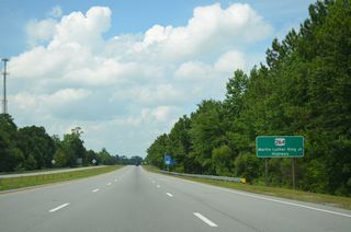
East - Greenville to Washington - 14 photos
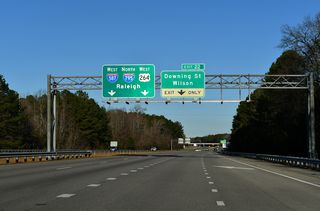
West - Wilson - 15 photos
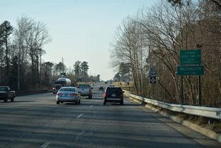
West - Beaufort County - 45 photos
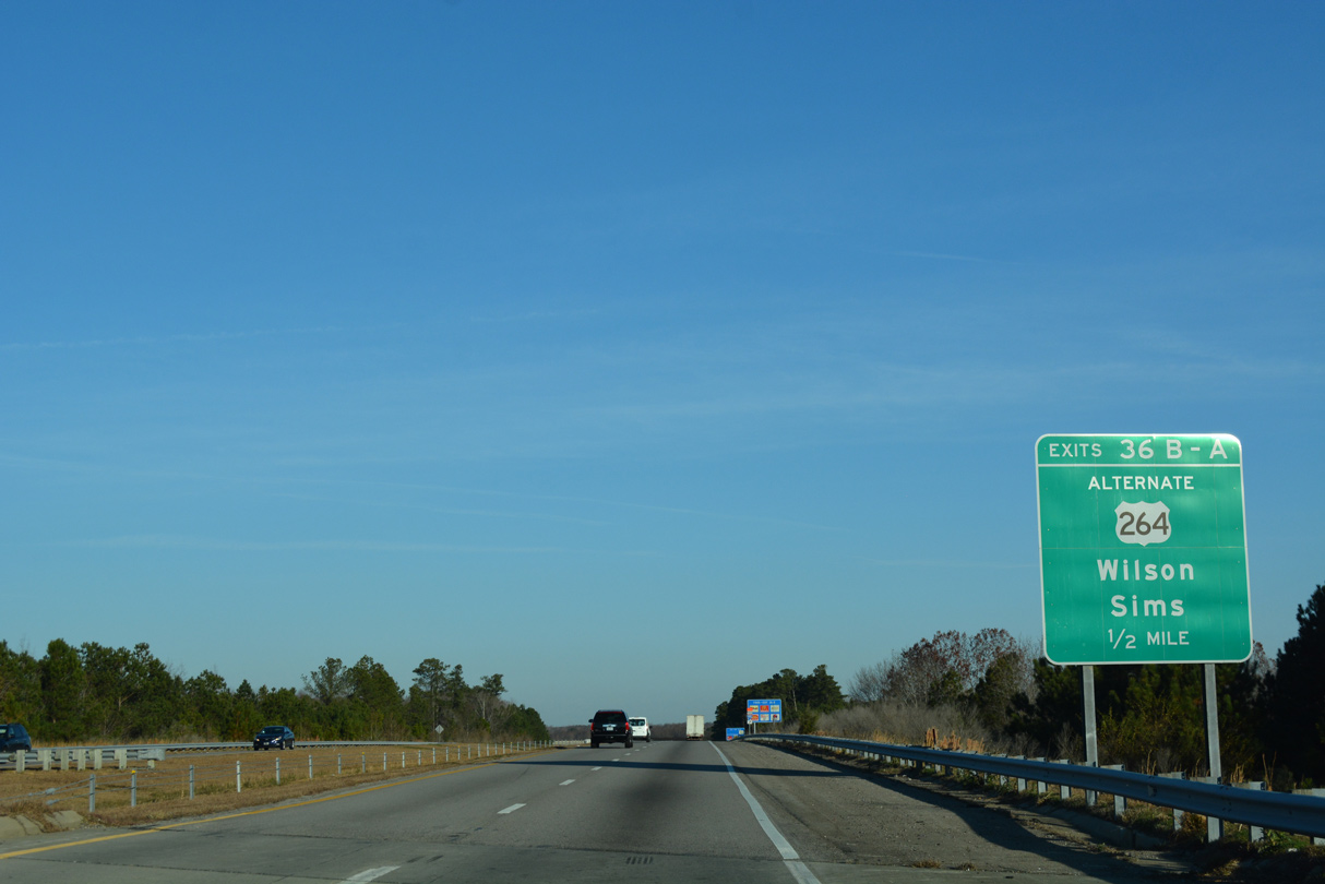
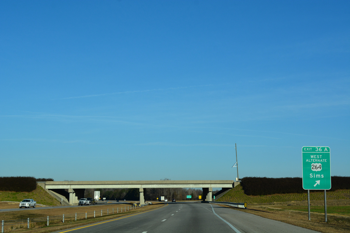
U.S. 264 follows a freeway east from the split with U.S. 64 (Future I-87) at Zebulon to Wilson. I-587 overlaps with U.S. 264 east 14.16 miles from I-95/795 at Wilson to U.S. 264 ALT near the town of Saratoga. The remainder west of I-95/795 will eventually be upgraded to Interstate 587. The American Association of State Highway and Transportation Officials (AASHTO) conditionally approved the establishment of I-587 from I-95/795 east to NC 11 at Greenville at the Spring 2021 Meeting. The Federal Highway Administration (FHWA) followed with approval of I-587 in November 2021.
With the formal establishment of Interstate 587 between I-95/795 and NC 11 (Greenville Bypass) at Greenville, U.S. 264 was relocated off the freeway from Exit 32 to U.S. 264 ALT east of Wilson. U.S. 264 replaced U.S. 264 ALT east from ahead of Saratoga to Farmville and NC 11 southwest of Greenville. U.S. 264 overlaps with NC 11 north back to the original bypass alignment around Greenville.
 West
West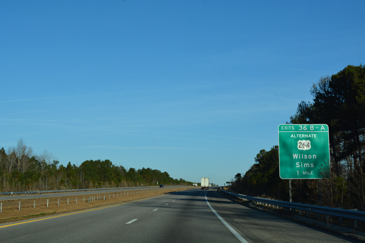
12/14/17
12/14/17
12/14/17
 East
East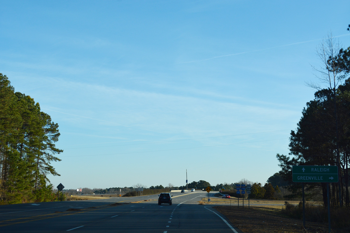
12/14/17
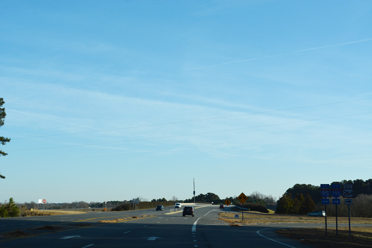
12/14/17
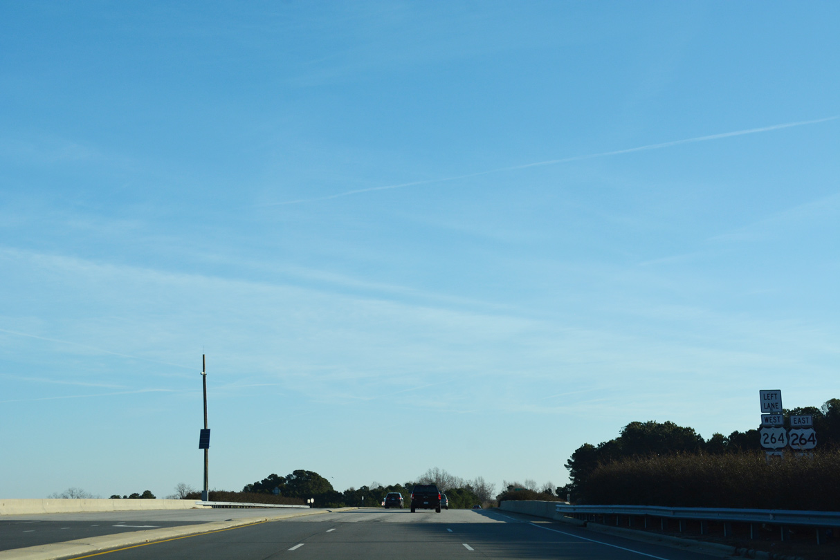
12/14/17
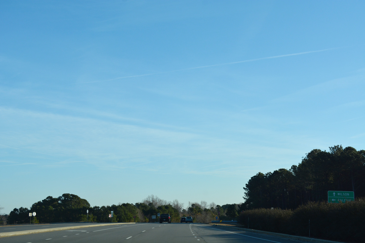
12/14/17

12/14/17
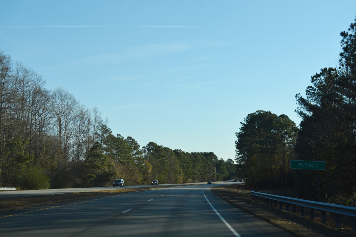
12/14/17
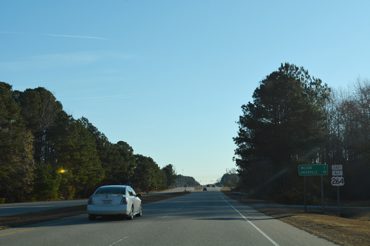
12/14/17
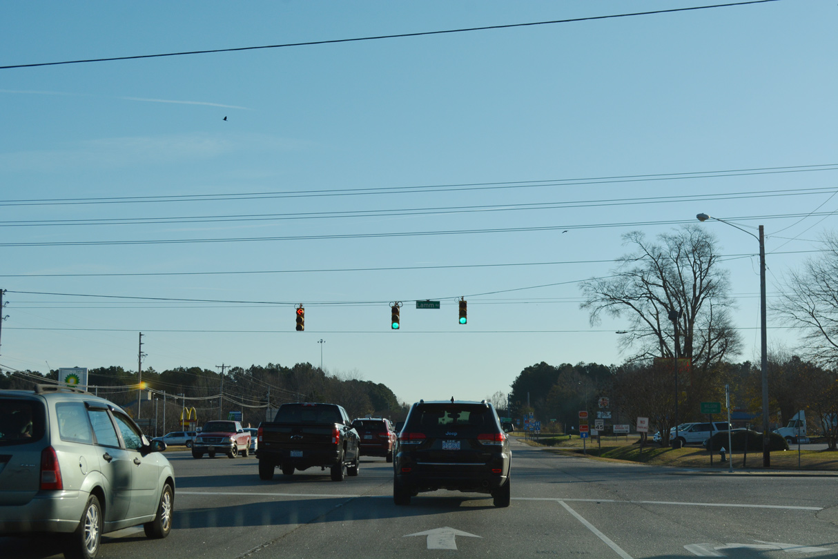
12/14/17
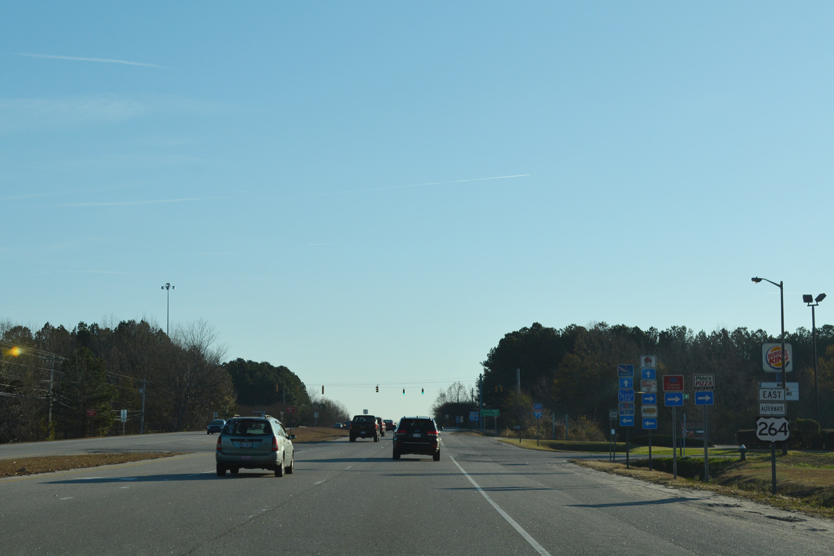
12/14/17
12/14/17
12/14/17
12/14/17
12/14/17
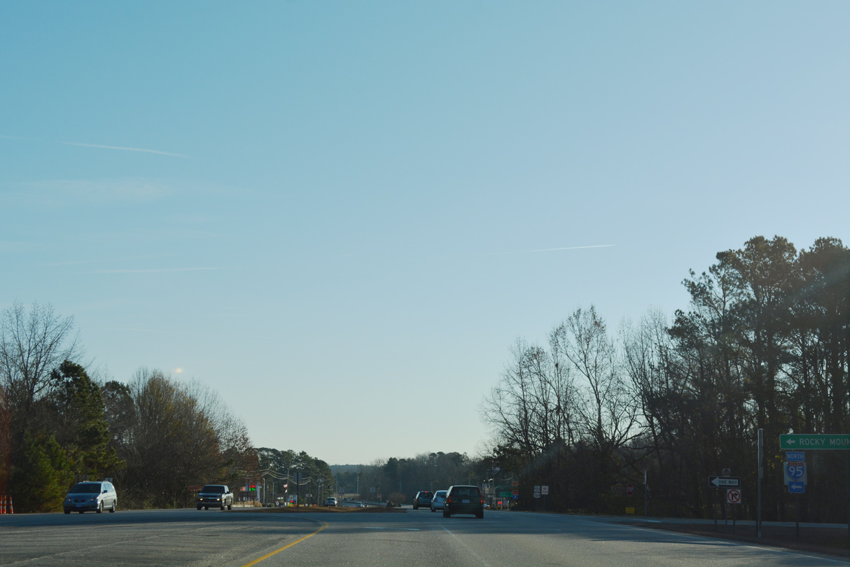
12/14/17
West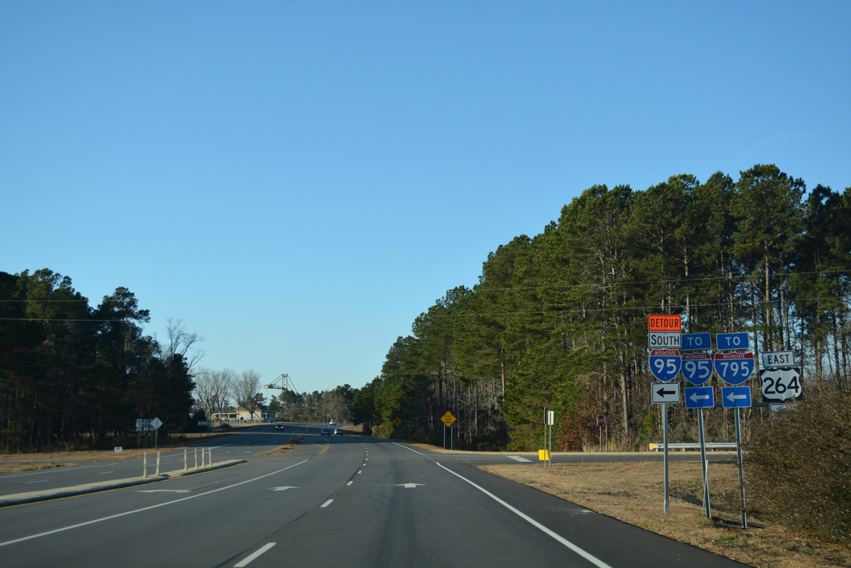
12/14/17
Photo Credits:
- ABRoads: 12/14/17
Connect with:


Page Updated Monday January 19, 2026.