
Interstate 215 East - Taylorsville to Millcreek
 East
East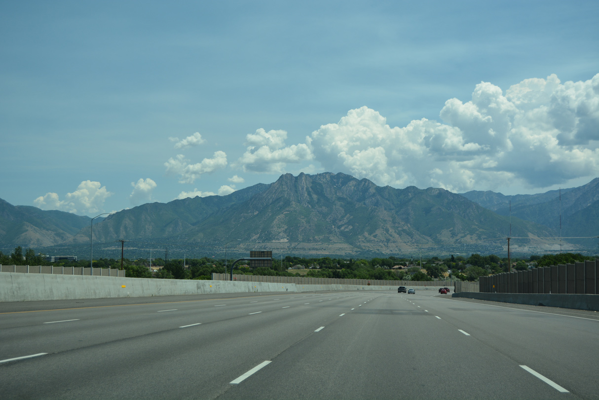
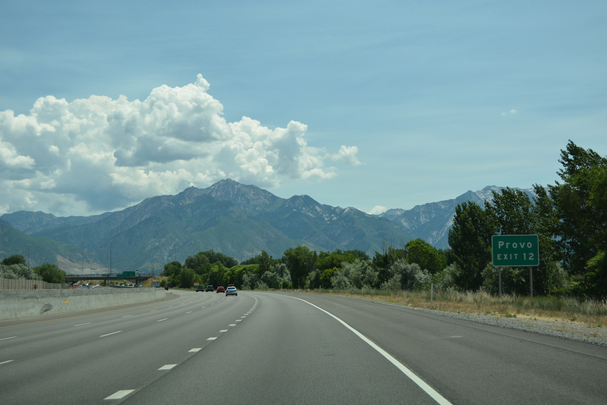
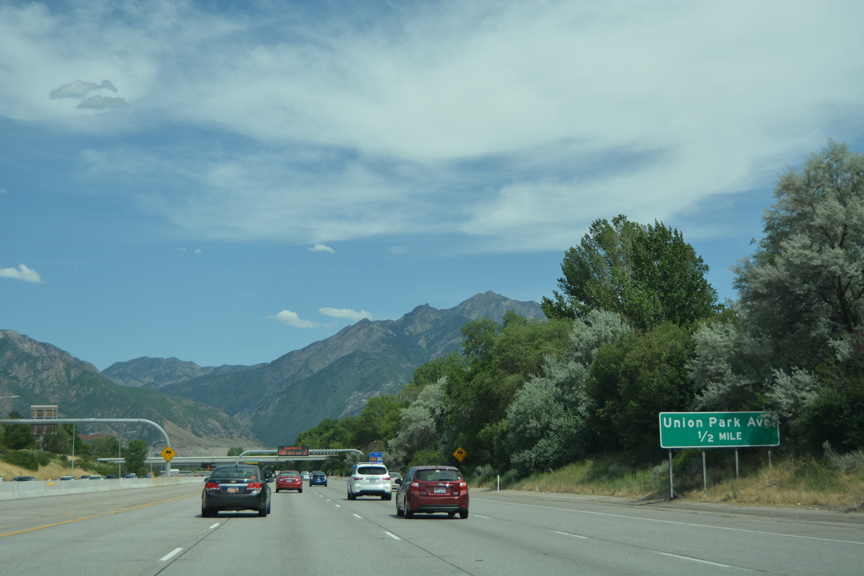
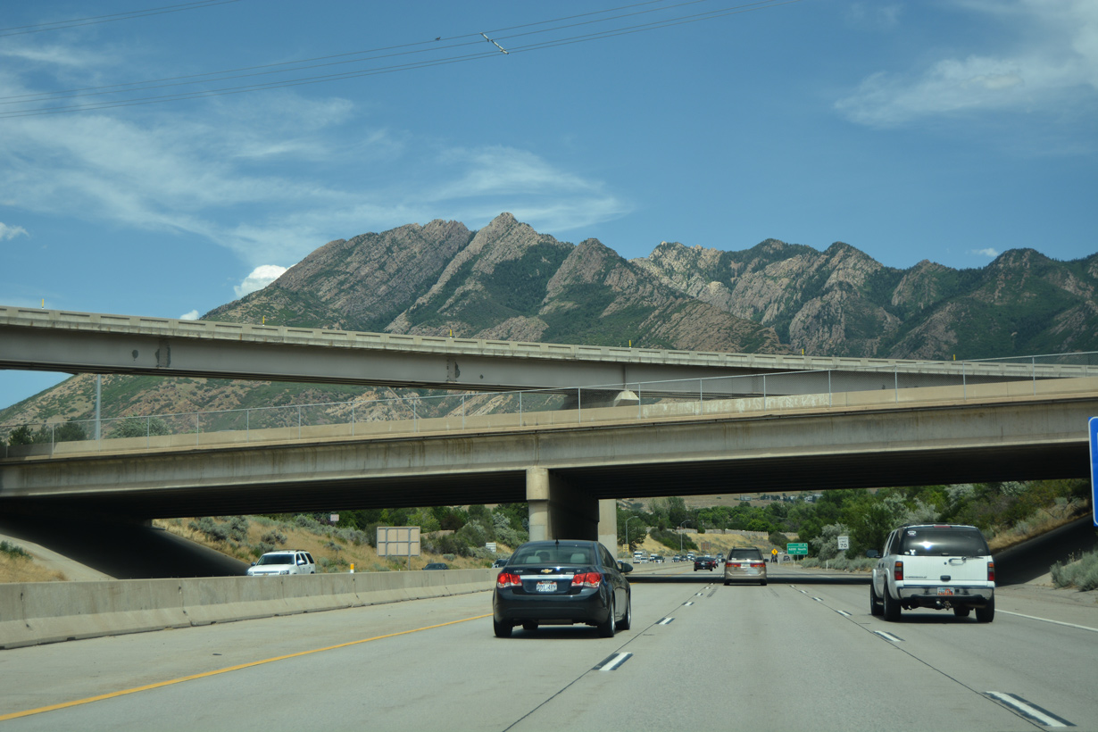
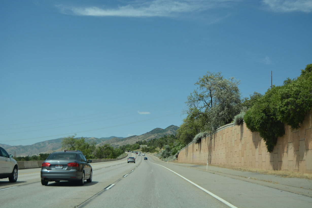
The Wasatch Range rises along the east side of Salt Lake Valley.
07/08/16
Confirming marker posted southbound at 1300 West.
07/08/16
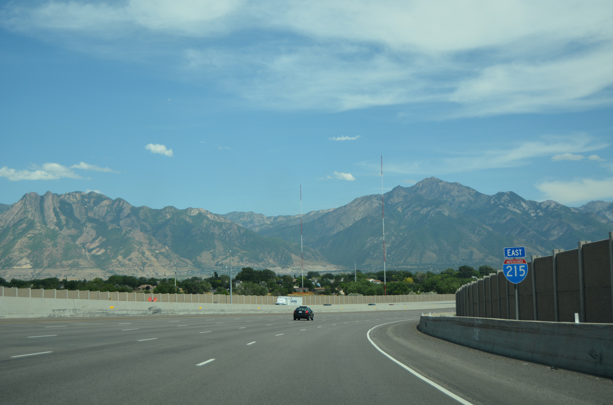
Interstate 215 converges with I-15 at directional cloverleaf interchange (Exit 12) with left entrance ramps.
07/08/16
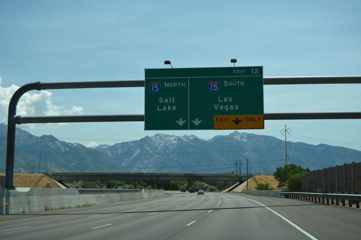
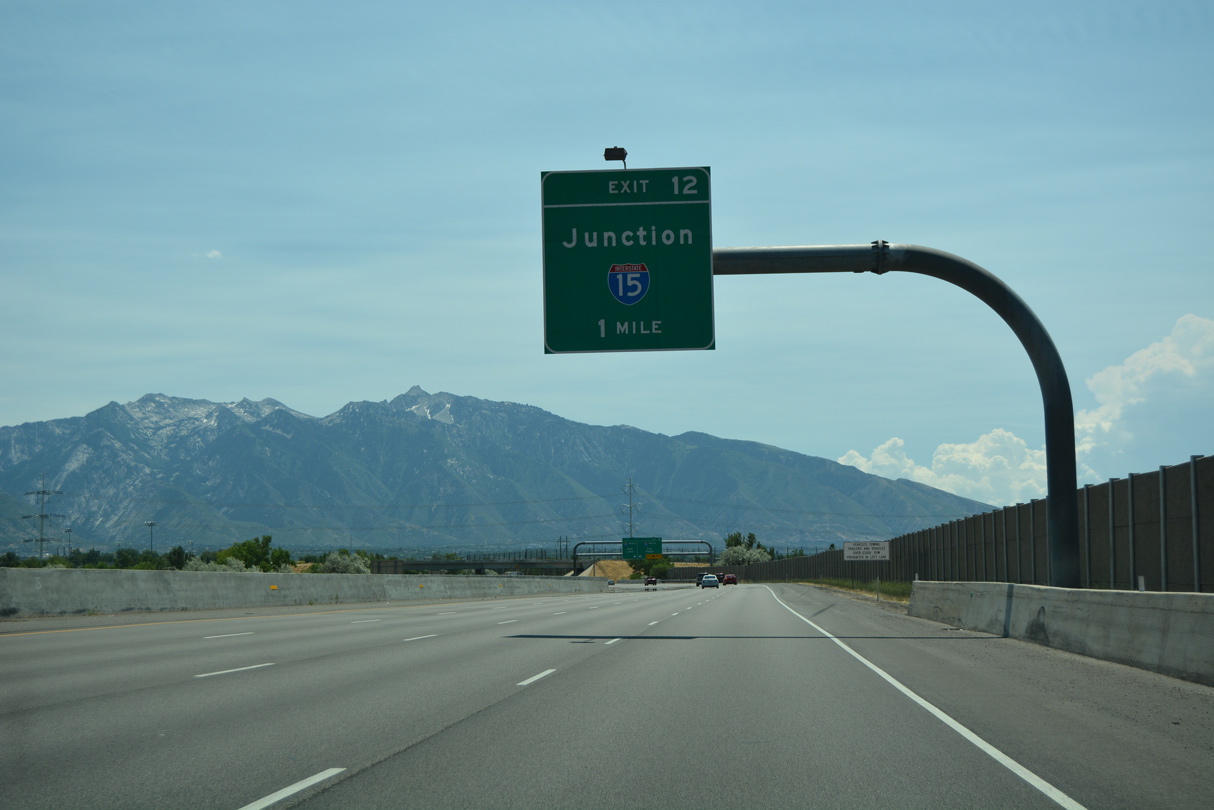
A lane drop occurs at Exit 12 for Interstate 15 south to Midvale, Sandy, South Jordan and Draper.
07/08/16
Interstate 15 constitutes an urban freeway north to Ogden and south to Provo.
07/08/16

700 West spans I-215 at the separation of Exit 12 for I-15. I-15 proceeds five miles north through Murray and South Salt Lake to the overlap with I-80 to Downtown Salt Lake City.
07/08/16

I-15 south reaches Provo in 33 miles, Las Vegas in 410 miles and the end at Interstate 8 at San Diego, California in 740 miles.
07/08/16
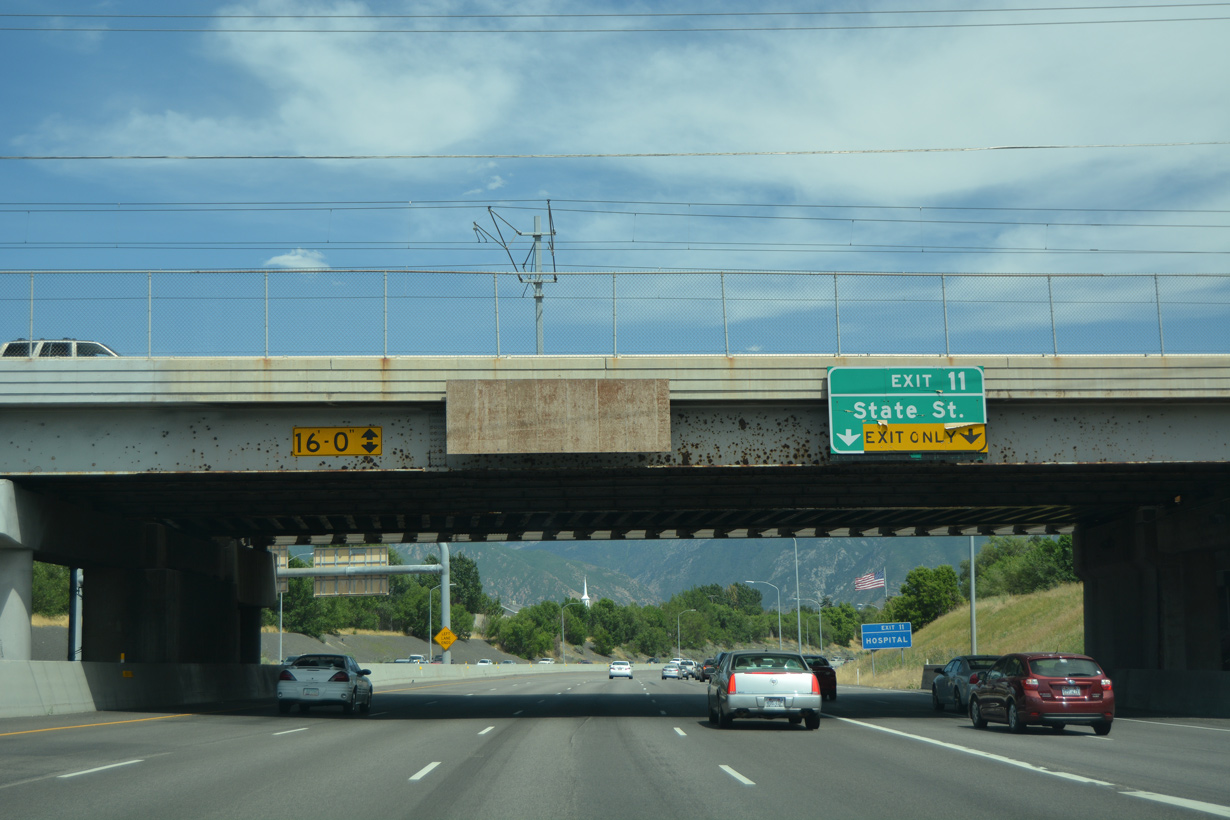
300 West and TRAX Sandy Salt Lake Light Rail span Interstate 215 a quarter mile from Exit 11 for U.S. 89 (State Street).
07/08/16
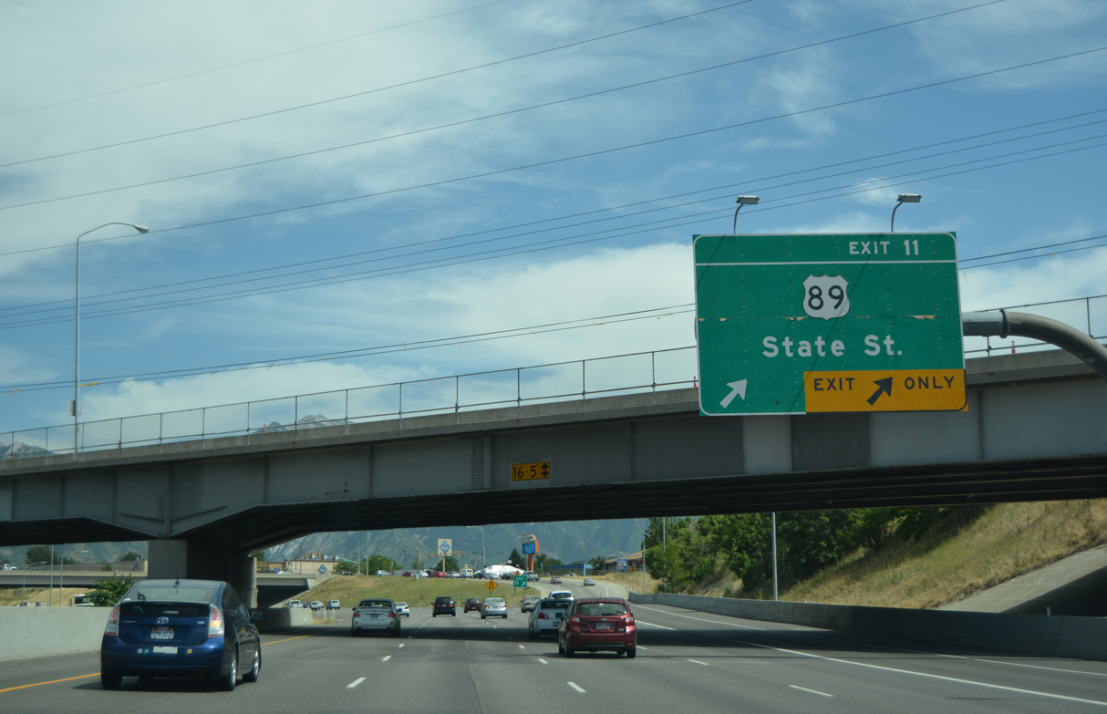
Winchester Street passes over I-215 east at Exit 11 for U.S. 89 (State Street) and Fashion Place mall. U.S. 89 follows State Street between I-15 at Exit 295 and North Temple at the Capitol Hill section of Salt Lake City.
07/08/16
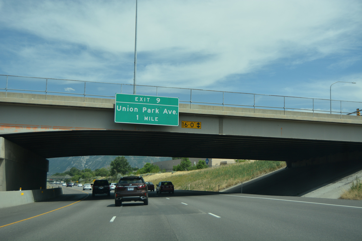
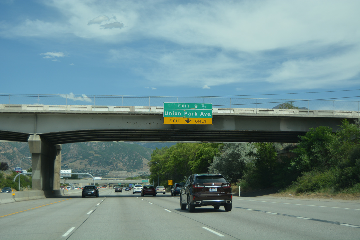
Advancing east, Interstate 215 runs along the Murray/Midvale city line to Union Park Avenue at Exit 9.
07/08/16
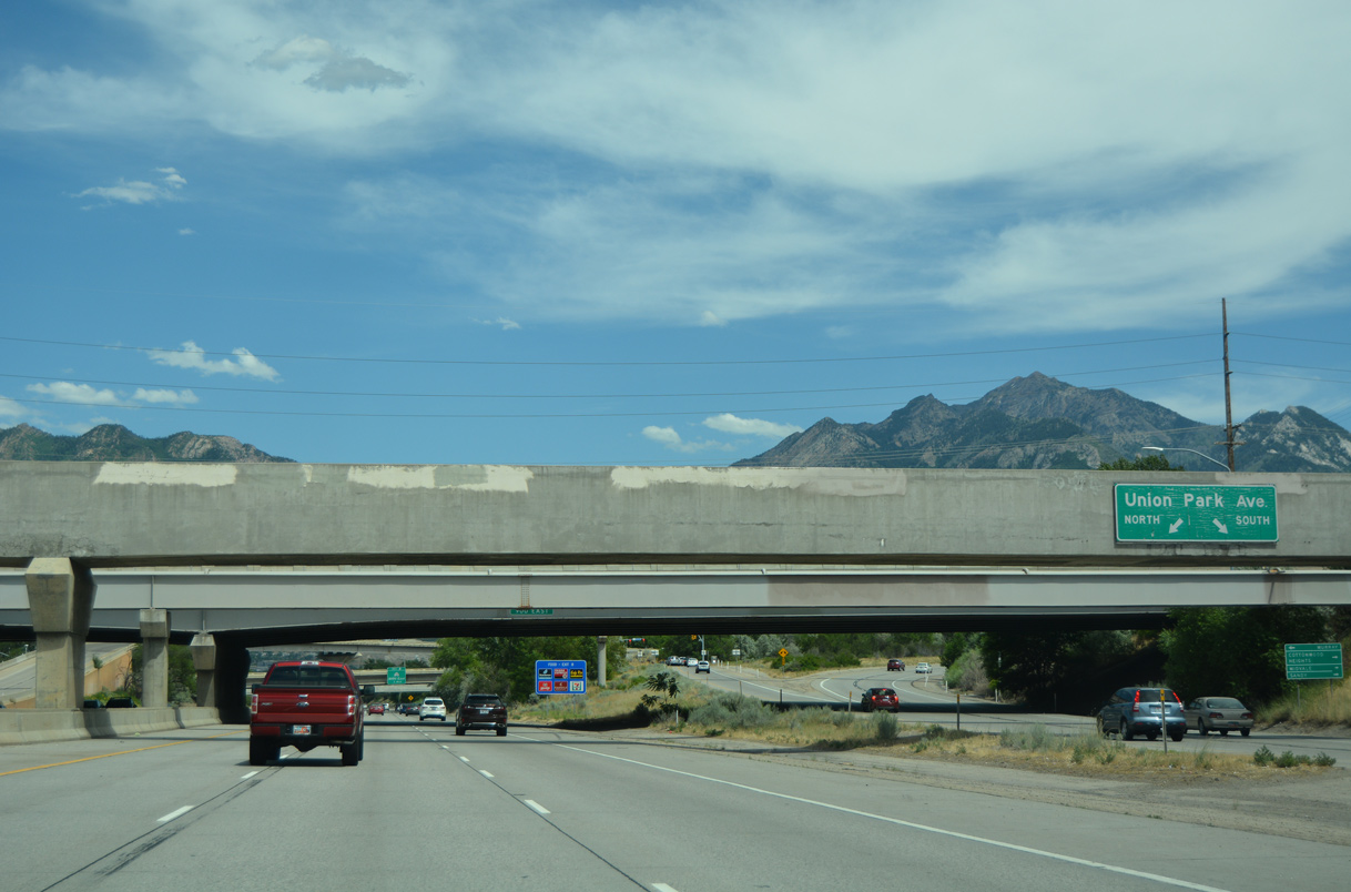
Union Park Avenue stems south from adjacent 6600 South between Midvale and Cottonwood Heights to the city of Sandy in south Salt Lake County.
07/08/16
Union Park Avenue weaves south through a series of apartment complexes, business parks and big box retail to become 1300 East through Sandy.
07/08/16
An aqueduct and SR 71 (900 East) span Interstate 215 east at the departure point of Exit 9 for Union Park Avenue. SR 71 comprises an L-shaped route 22.48 miles from SR 68 at Riverton to SR 168 at Central City in Salt Lake.
07/08/16
A flyover connects Union Park Avenue north with I-215 west above the diamond interchange at Exit 9.
07/08/16
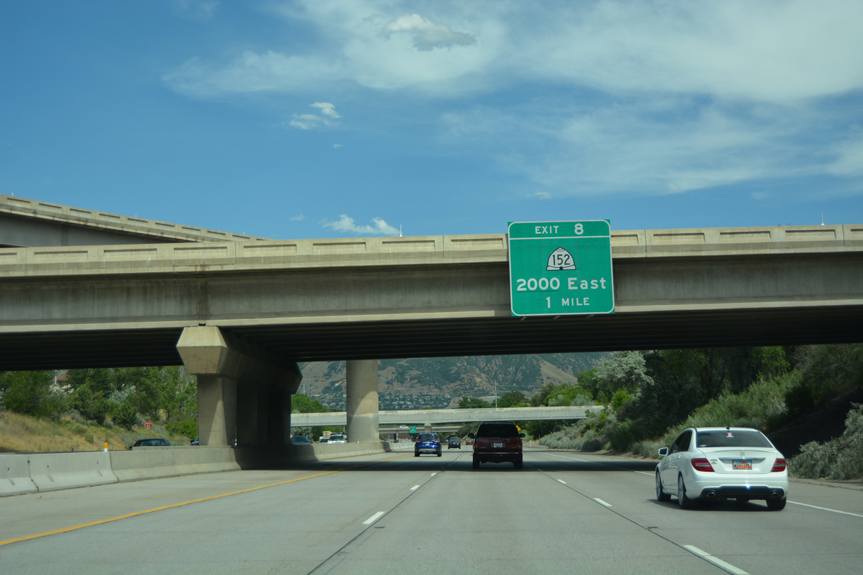
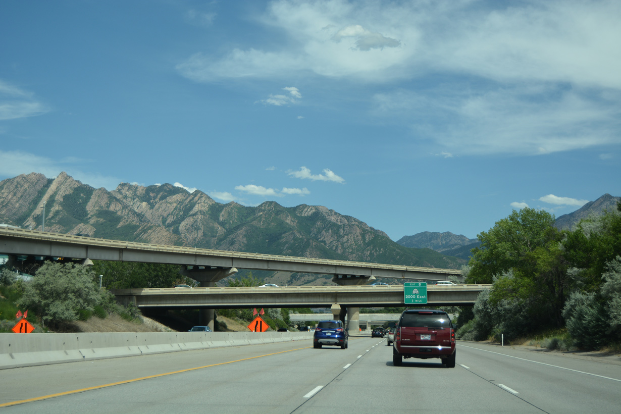
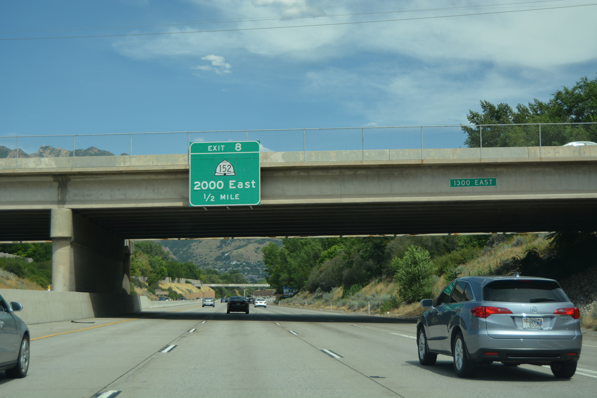
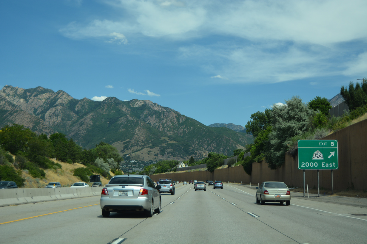
Progressing east, I-215 meets the south end of SR 152 (2000 East) in one mile.
07/08/16

An aqueduct crosses over Interstate 215 as part of Little Cottonwood Creek south of the Wheeler Historic Fam.
07/08/16
SR 152 is an arterial route running 3.05 miles northwest to SR 71 (900 East) at Vanwinkle Expressway and the city of Millcreek.
07/08/16
Highland Drive extends 3.6 miles south from SR 152 and Exit 8 through the city of Cottonwood Heights to SR 209 (9400 South) in Sandy.
07/08/16
Similar to Exit 9, the diamond interchange at Exit 8 includes a high speed flyover from Highland Drive north onto I-215 west.
07/08/16
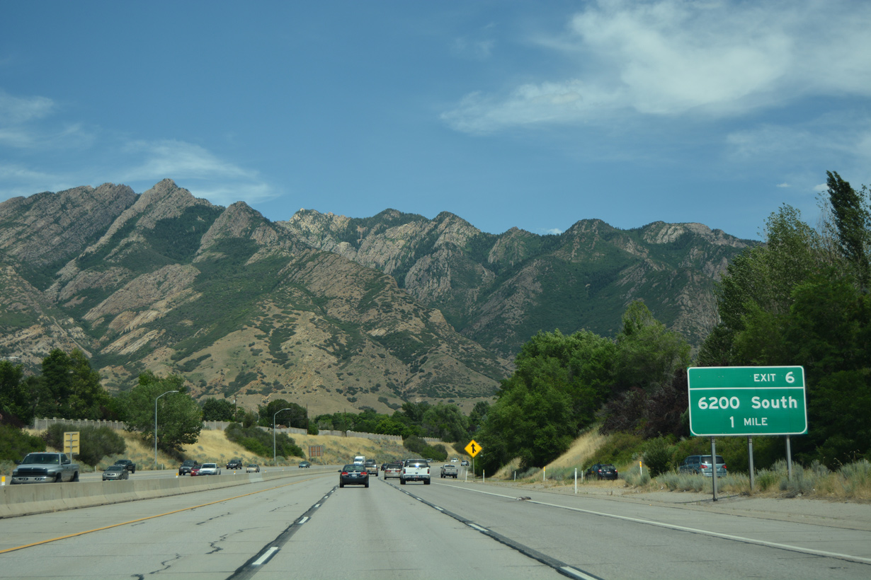
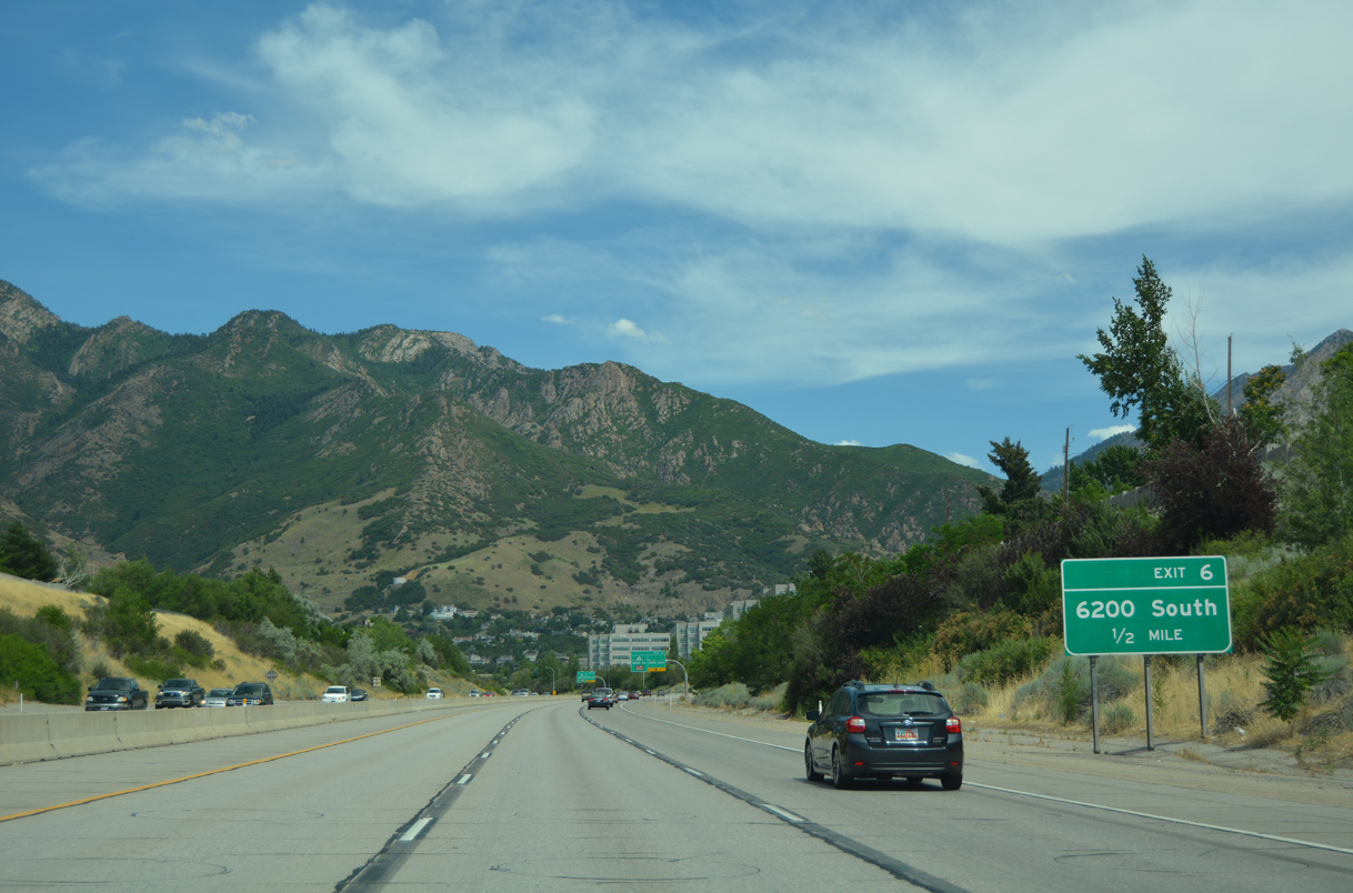
6200 South stems east from SR 152 (Highland Drive) to Holladay Boulevard and Interstate 215 and SR 190 in south Holladay.
07/08/16
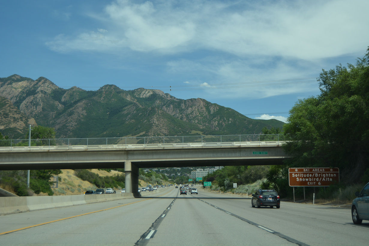
6200 East becomes SR 190 east from Exit 6. The 18.84 mile long highway connects the Salt Lake Valley with Wasatch Range ski resorts.
07/08/16
SR 190 travels east from Exit 6 to Cottonwood Heights, the Mount Olympus Wilderness area, Wasatch-Cache National Forest and Guardsman Pass Road.
07/08/16
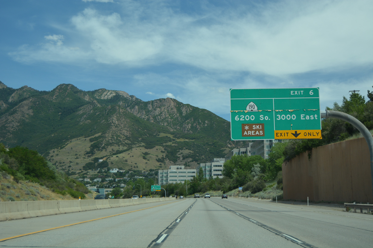
A bypass lane accompanies SR 190 (6200 South) from Exit 9 to business parks along 3000 East.
07/08/16
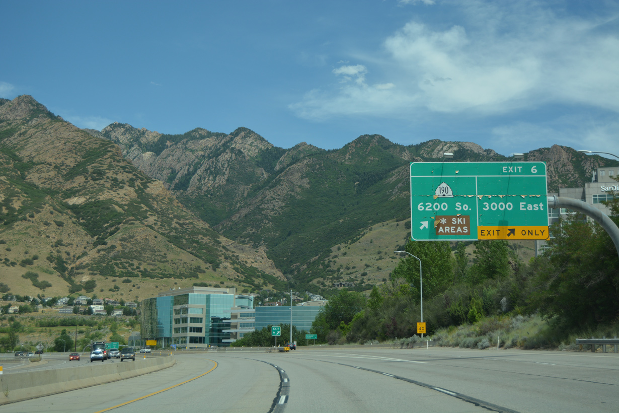
Interstate 215 turns north at the SPUI (Exit 6) with 6200 South (Big Cottonwood Road) and SR 190 east.
07/08/16
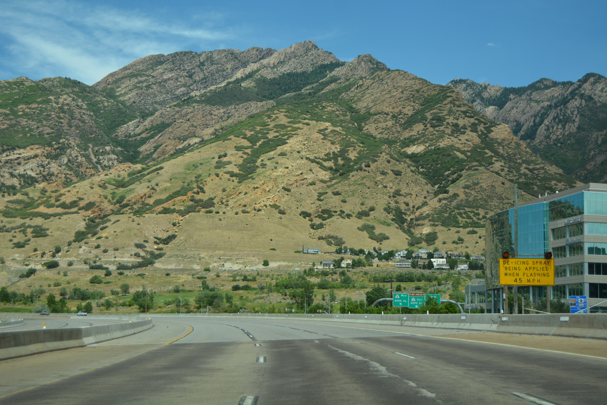
A warning sign at Exit 6 advises motorists of de-icing spray usage on the ensuing stretch of Interstate 215 north.
07/08/16
North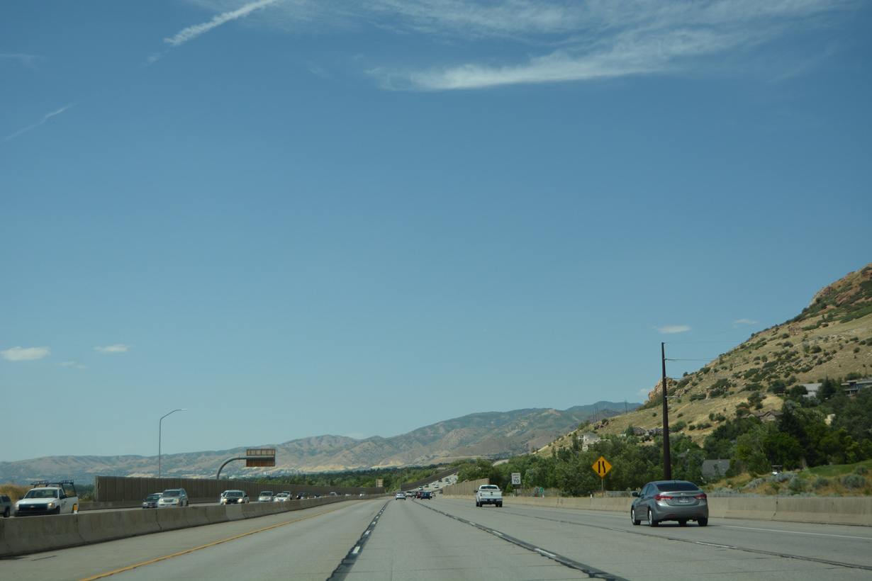
Continuing north through the city of Holladay, Interstate 215 straddles western reaches of Mount Olympus (el. 8,933 feet).
07/08/16
Interstate 215 separates Holladay and the city of Millcreek north to Exit 4.
07/08/16
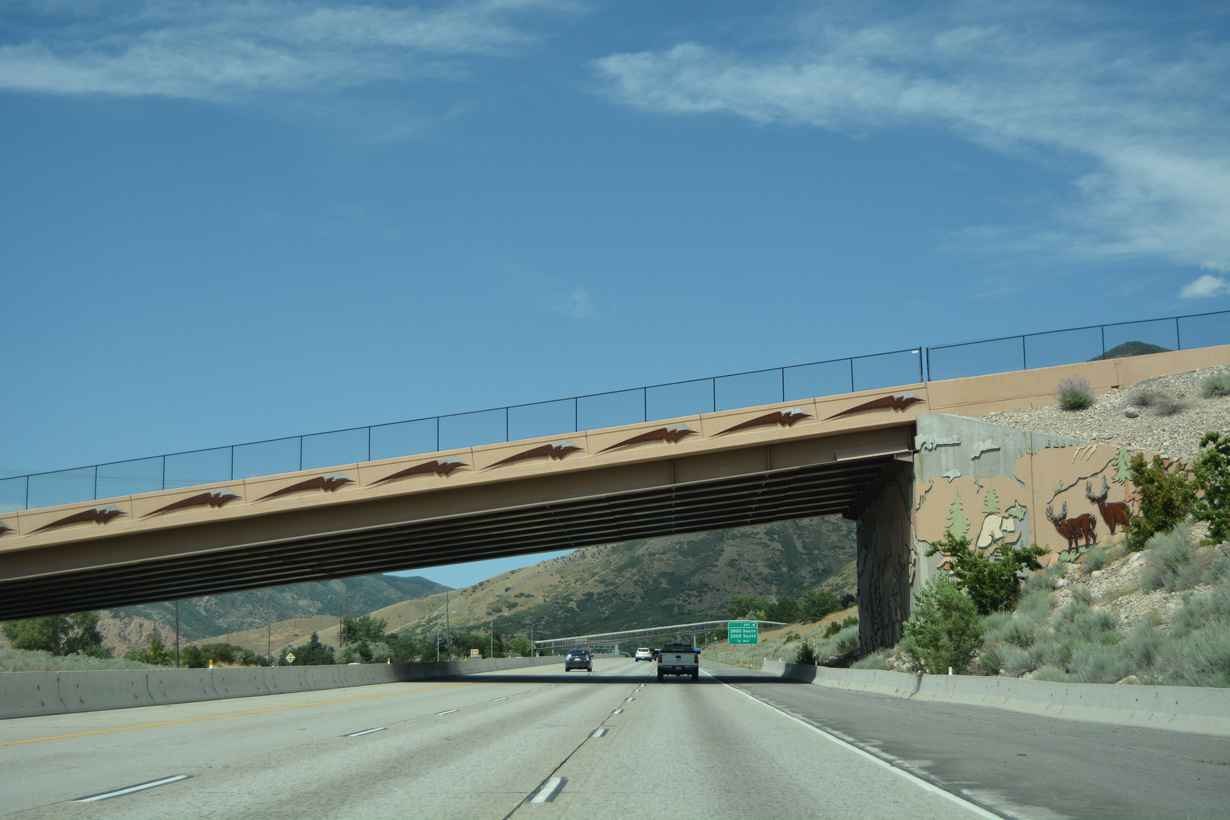
The east end of SR 266 ties into adjacent Wasatch Boulevard just above this decorative overpass at 4500 South.
07/08/16
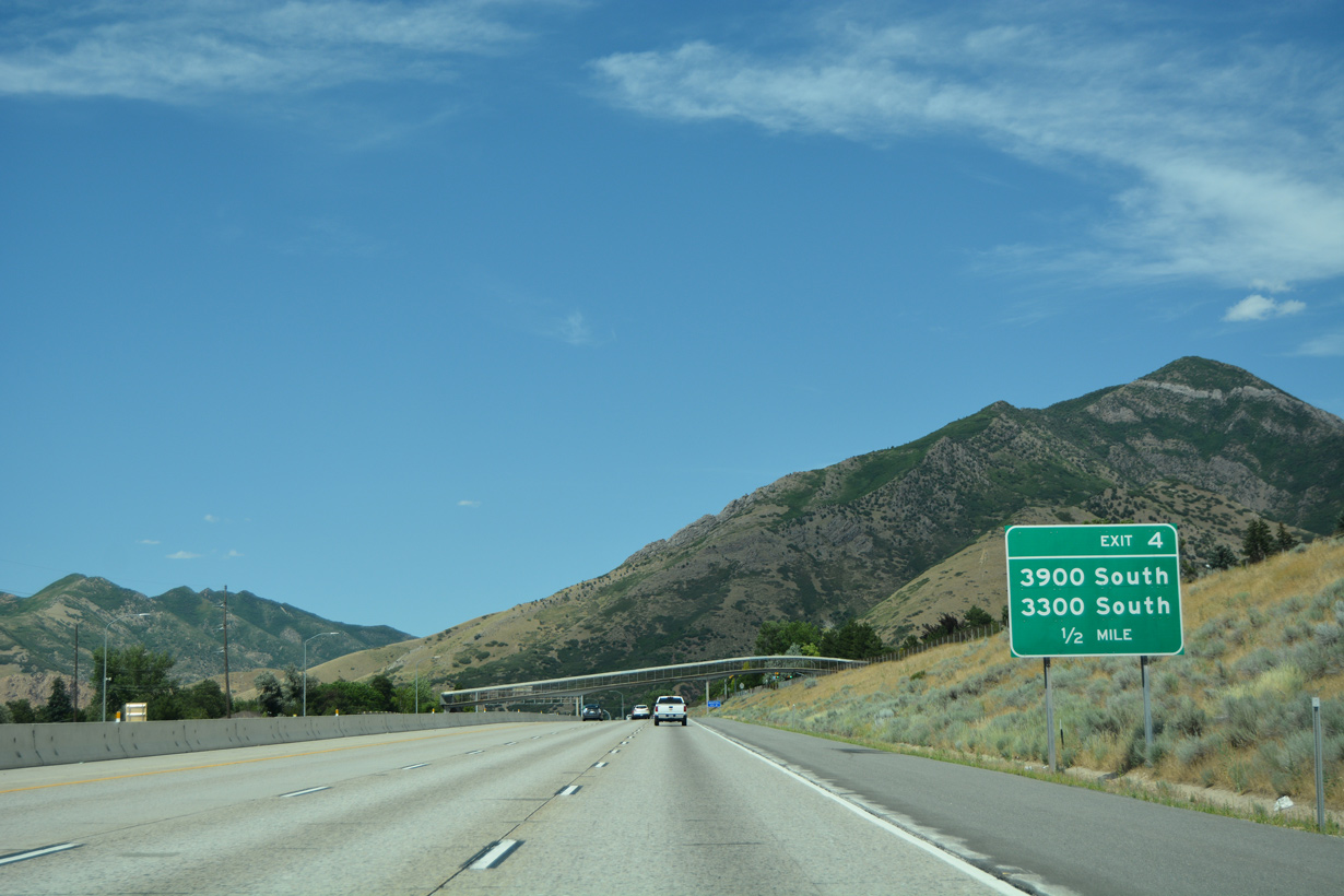
Exit 4 links I-215 northbound with parallel Wasatch Boulevard near Olympus Hills shopping center.
07/08/16
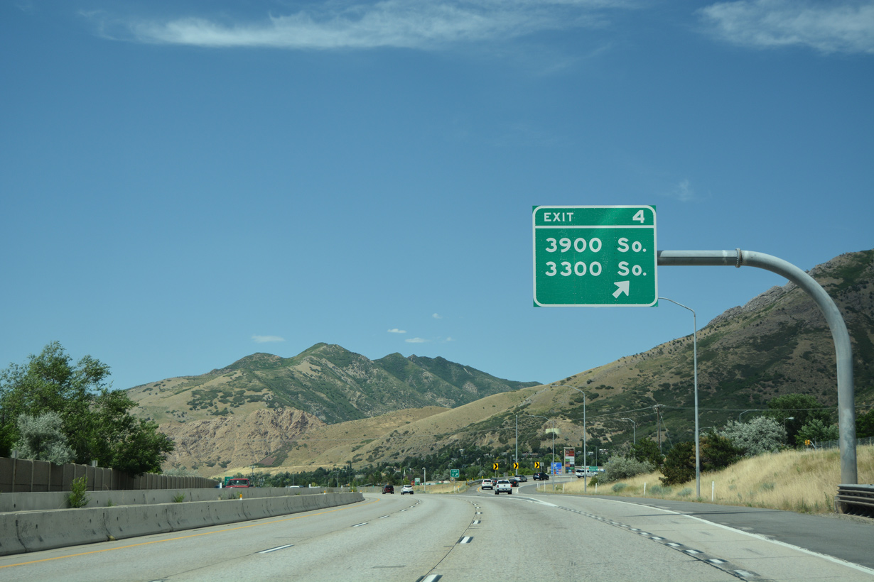
Wasatch Boulevard remains along the east side of I-215 north from Exit 4 to 3900 South at Jupiter Drive and the east end of SR 171 at 3300 South.
07/08/16
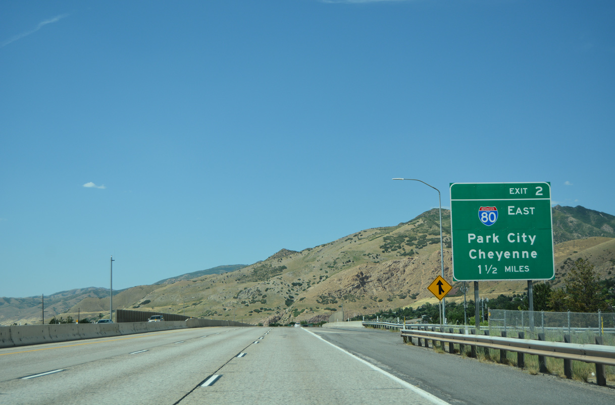
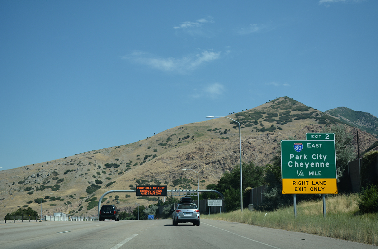
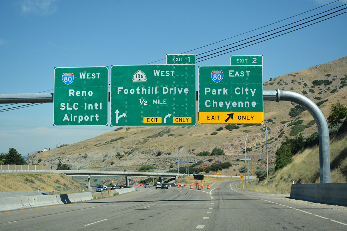
Interstate 215 proceeds two miles north from the entrance ramp at Upland Drive to Exit 2 for I-80 east to Cheyenne, Wyoming.
07/08/16
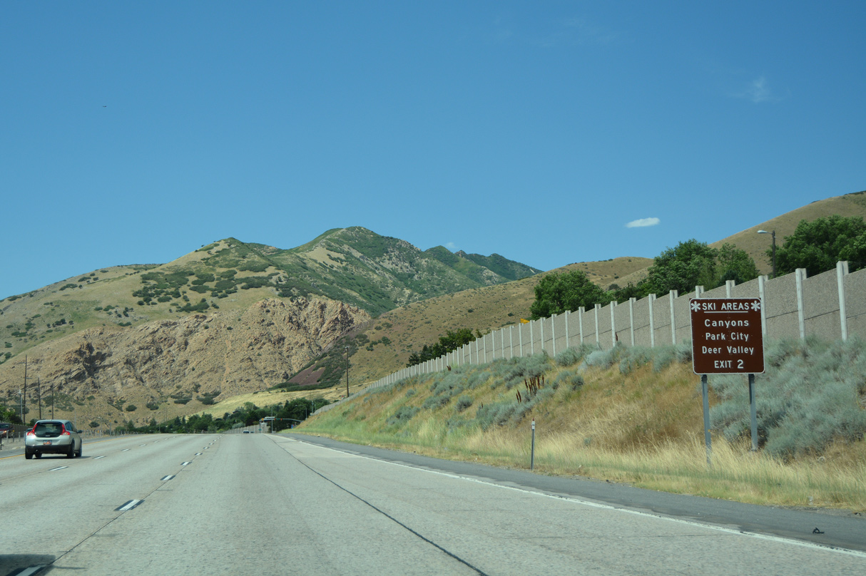
Interstate 80 east to Exit 145 / SR 224 south leads to the Park City and Deer Valley ski resorts on the eastern slopes of the Wasatch Range.
07/08/16

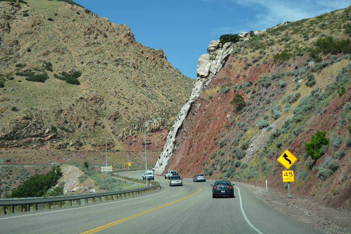
Interstate 80 ascends through Parleys Canyon from Salt Lake City to Kimball Junction.
07/08/16
Interstate 80 east serves bedroom communities located within the Park City area such as Silver Creek Junction.
07/16/17
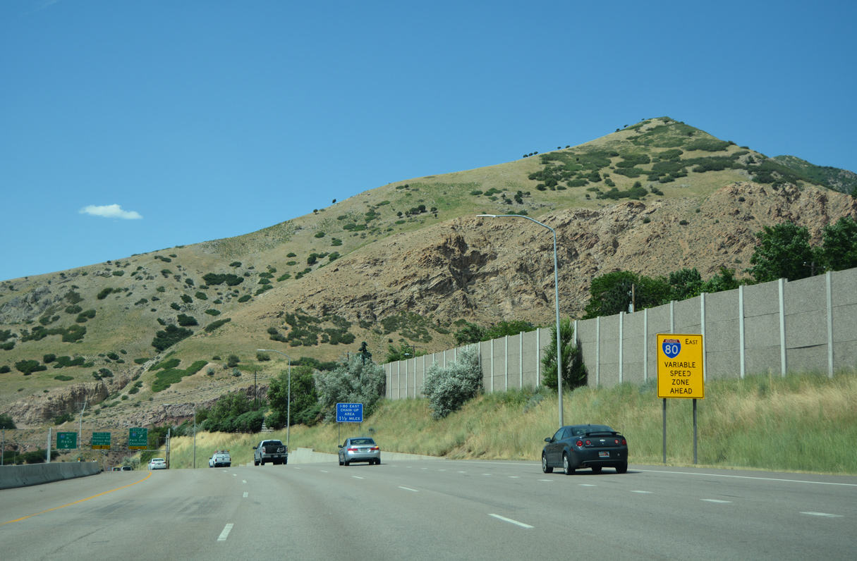
Variable speed limits are used along Interstate 80 through Parleys Canyon.
07/08/16
Interstate 80 travels 68 miles northeast to the Wyoming state line outside of Evanston and 429 miles to the Wyoming capital city.
07/16/17
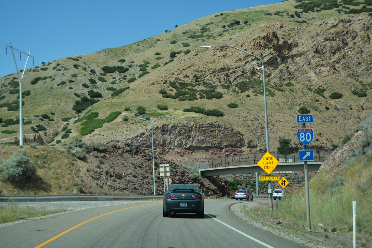
Exit 2 forms a two lane access road linking I-215 north with I-80 east.
07/08/16
The access road from Exit 2 runs along the western slope of Grandeur Peak (el. 8,222 feet) to a wye interchange with Interstate 80 eastbound.
07/08/16
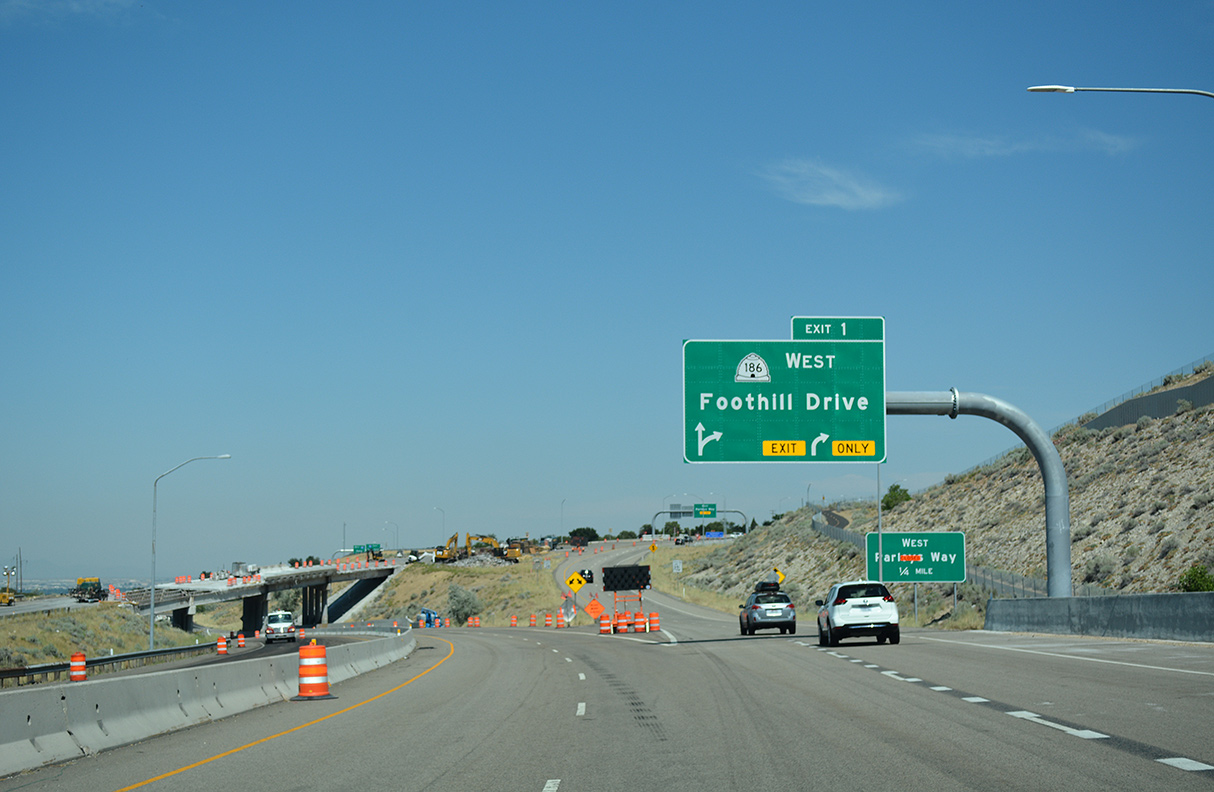
Interstate 215 turns northwest alongside Parleys Historic Nature Park to Exit 1 for SR 186 (Foothill Drive) west and I-80 westbound. SR 186 constitutes an 8.62 mile long urban route north to the University of Utah and U.S. 89 (State Street) at West Capitol Hill in Salt Lake.
07/16/17
West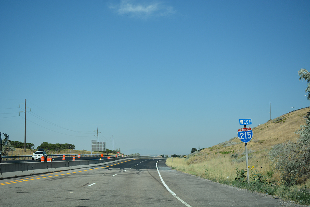
The final confirming marker for Interstate 215 references the Belt Line as west. I-215 defaults onto I-80 west ahead of the Sugar House community in Salt Lake City.
07/16/17
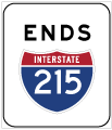
Photo Credits:
- Alex Nitzman: 07/08/16
- Brent Ivy: 07/16/17
Connect with:
Page Updated Wednesday February 02, 2022.