
Interstate 215 West (Inner Loop)

 West
West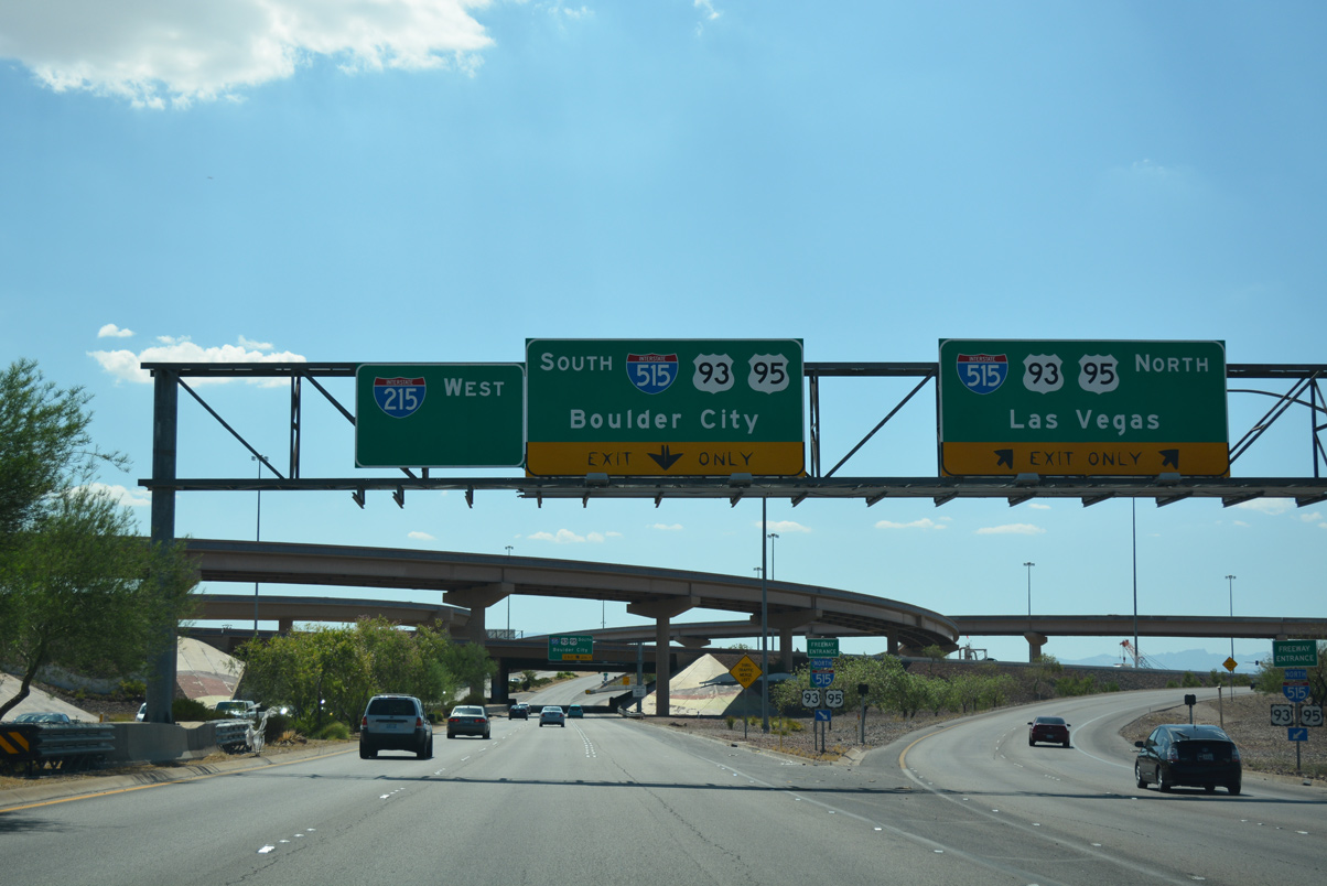
The westbound beginning of Interstate 215 at the departure ramp to I-515/U.S. 93-95 north. Interstate 515 extends along the Oran K. Gragson Freeway to Downtown Las Vegas.
07/21/17
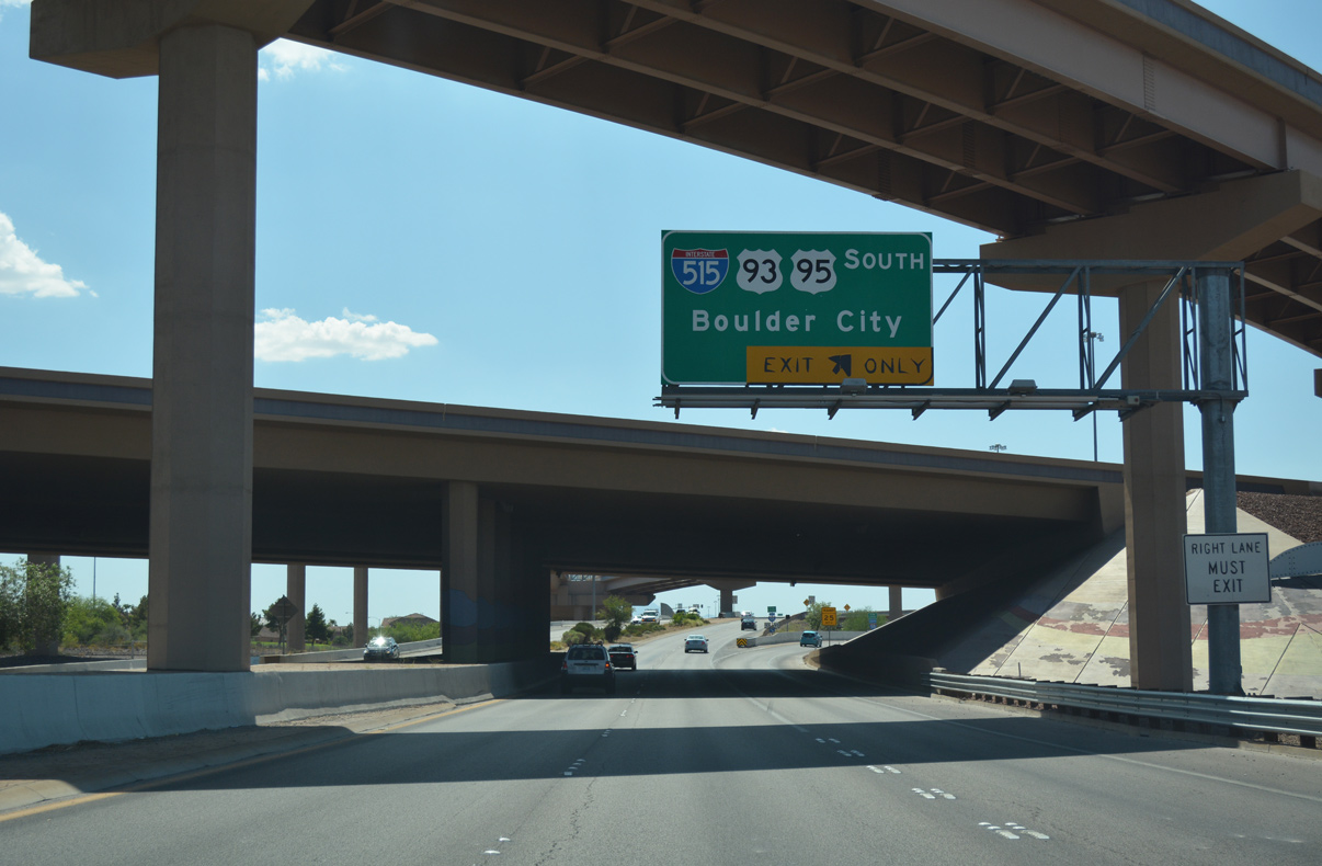
Interstate 11 overtook the southernmost segment of I-515 to Railroad Pass in August 2017. The Boulder City bypass for I-11/U.S. 93 was completed in January 2018.
07/21/17
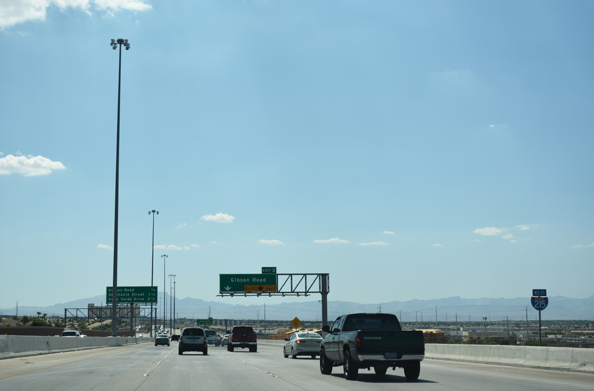
First confirming marker posted for I-215 beyond the exchange with I-11/515. Gibson Road passes under the freeway in one quarter mile.
07/21/17
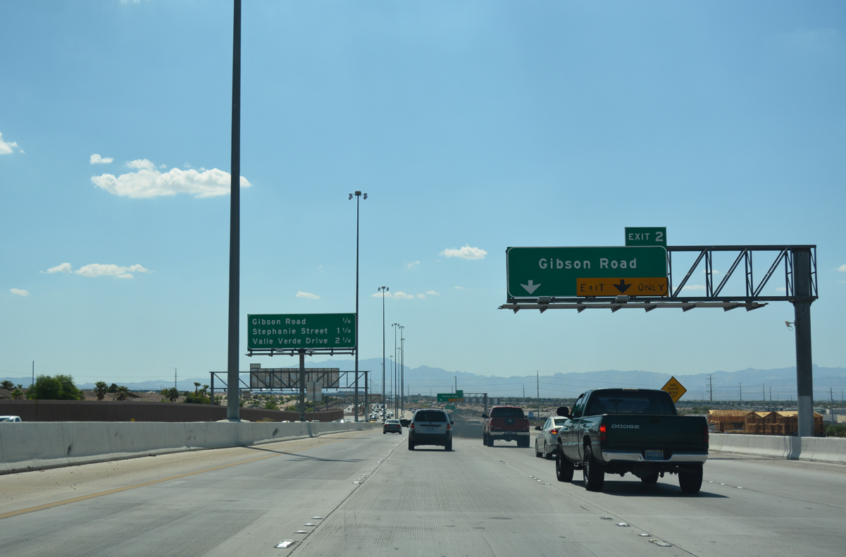
Gibson Road (Exit 2) extends north from I-215 along an industrial and residential corridor to Galleria Drive.
07/21/17
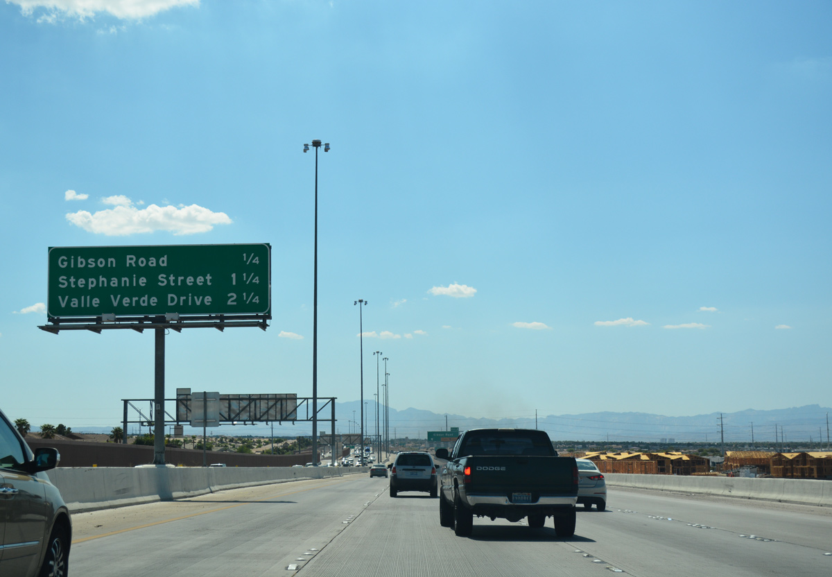
Interstate 215 generally maintains six to eight overall lanes on its course to I-15 (Exit 12).
07/21/17
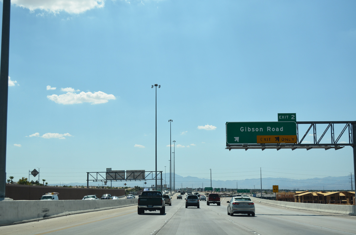
Two lanes leave for Exit 2 to Gibson Road along I-215 west. Gibson Road continues south 0.70 miles to Horizon Ridge Parkway at the head of the McCullough mountain range.
07/21/17
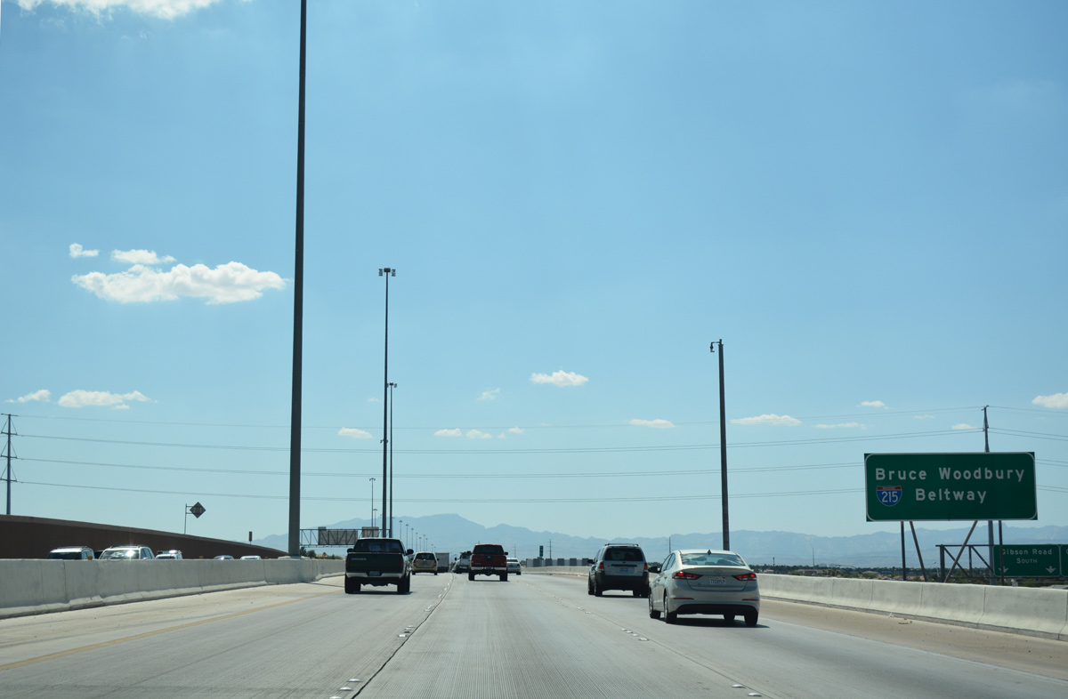
The entire length of the Las Vegas Beltway doubles as the Bruce Woodbury Beltway, named after a local politician and lawyer who was instrumental in shaping the area transportation system. The freeway was designated as such in 2004.
07/21/17
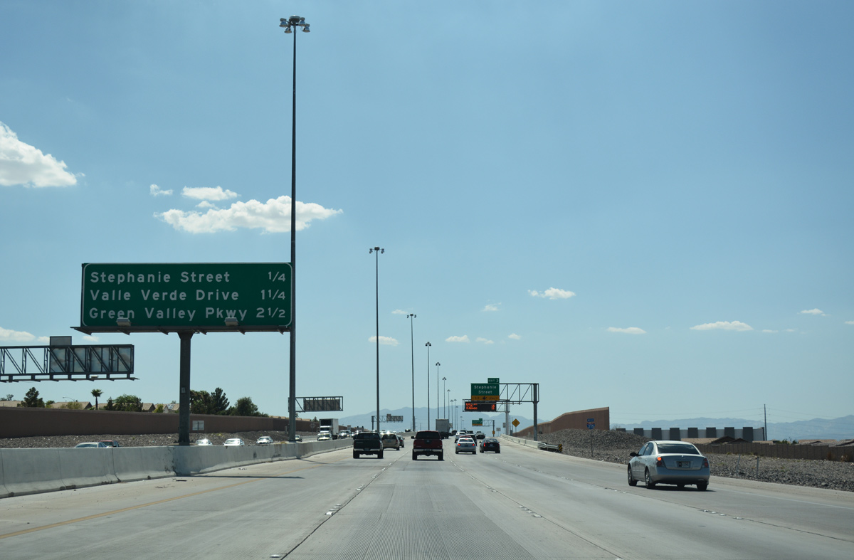
I-215 (Bruce Woodbury Beltway) west bisects several Henderson neighborhoods through the next three interchanges.
07/21/17
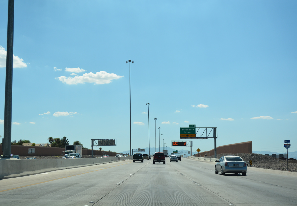
An auxiliary lane joins Interstate 215 west between Gibson Road (Exit 2) and upcoming Stephanie Street (Exit 3).
07/21/17
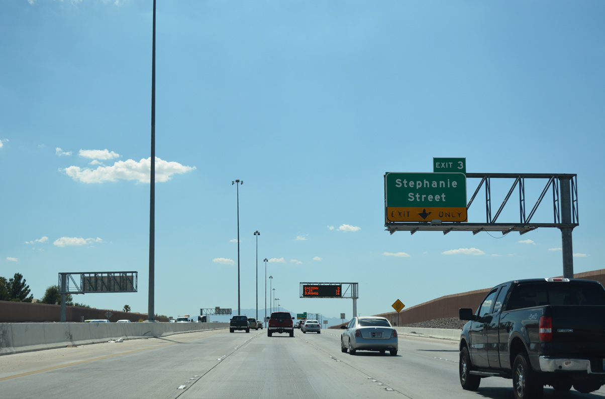
Meeting the Bruce Woodbury Beltway at Exit 3, Stephanie Street is a major north-south arterial connecting the freeway with Gibson Springs and Whitney Ranch.
07/21/17
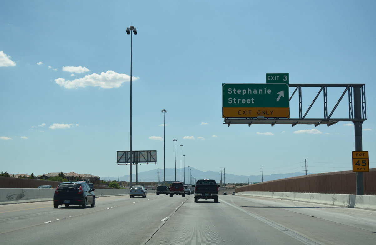
Traffic leaves for the diamond interchange (Exit 3) with Stephanie Street. The Sunset Station Hotel-Casino and Galleria at Sunset regional mall lie along Stephanie Street north at Sunset Road.
07/21/17
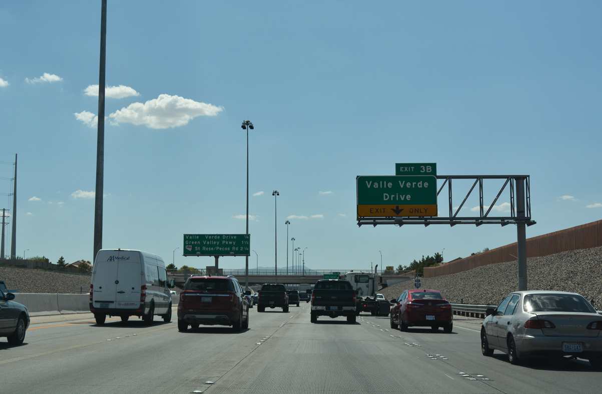
Interstate 215 west swells to four travel lanes between Exit 3 (Stephanie Street) and Valle Verde Drive (Exit 3B).
07/21/17
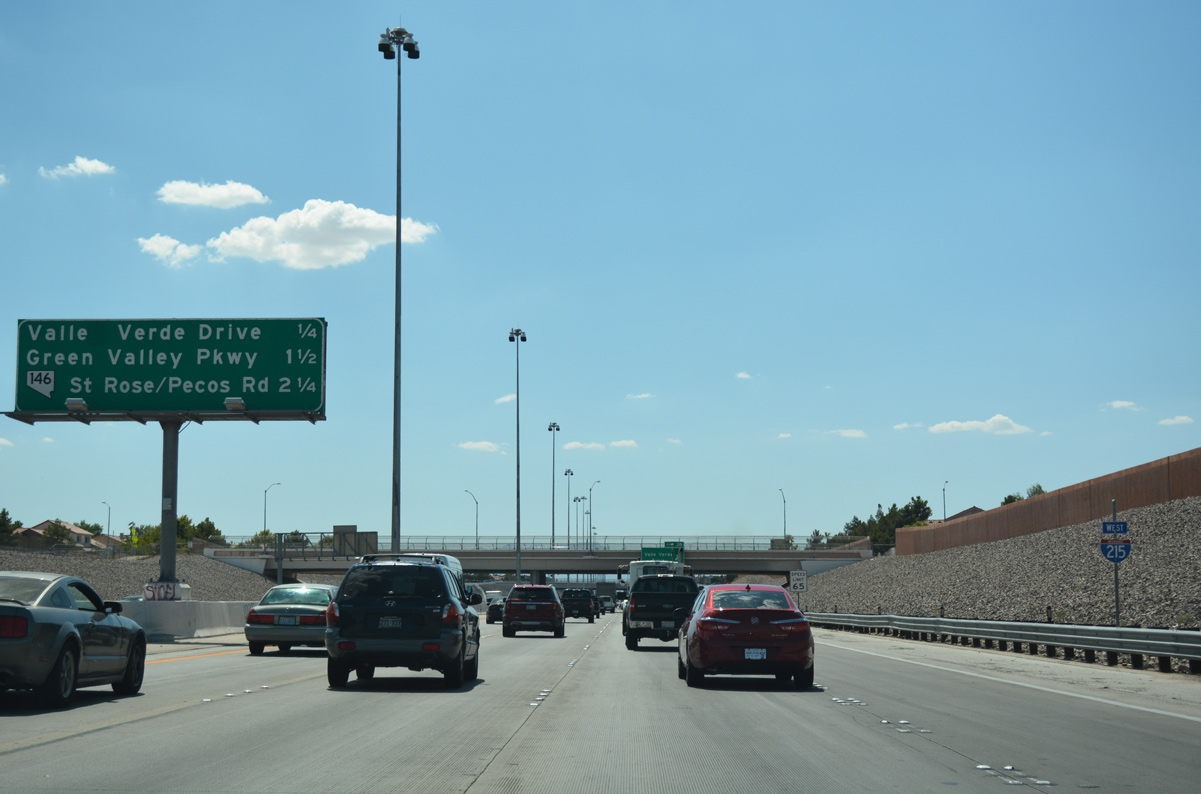
The Bruce Woodbury Beltway drops below grade on the upcoming approach to Valle Verde Drive. SR 146 stems southwest from the freeway along St. Rose Parkway at Exit 6.
07/21/17
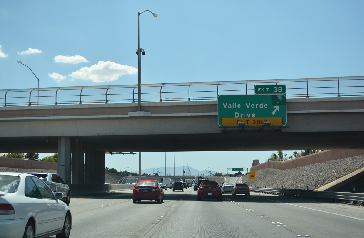
Arroyo Grande Boulevard spans I-215 at the egress point for Exit 3B. Within Henderson, Valle Verde Drive extends north into the Green Valley South and south into the Green Valley Ranch neighborhoods.
07/21/17
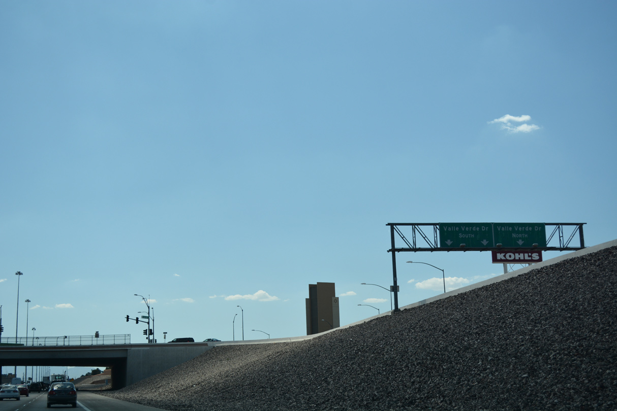
Commercial centers and places of worship occupy three quadrants of the single point urban interchange (SPUI) between I-215 and Valle Verde Drive (Exit 3B).
07/21/17
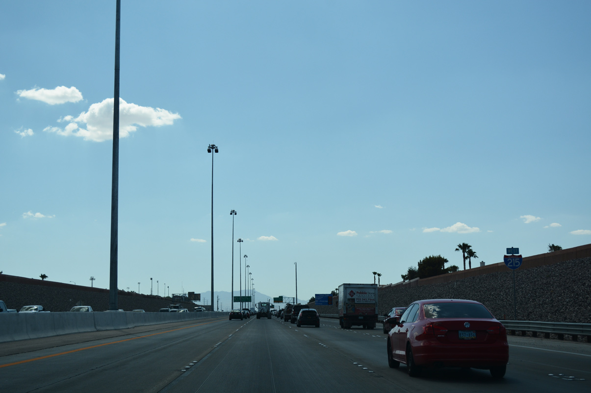
This confirming marker stands along westbound ahead of Green Valley Parkway (Exit 5).
07/21/17
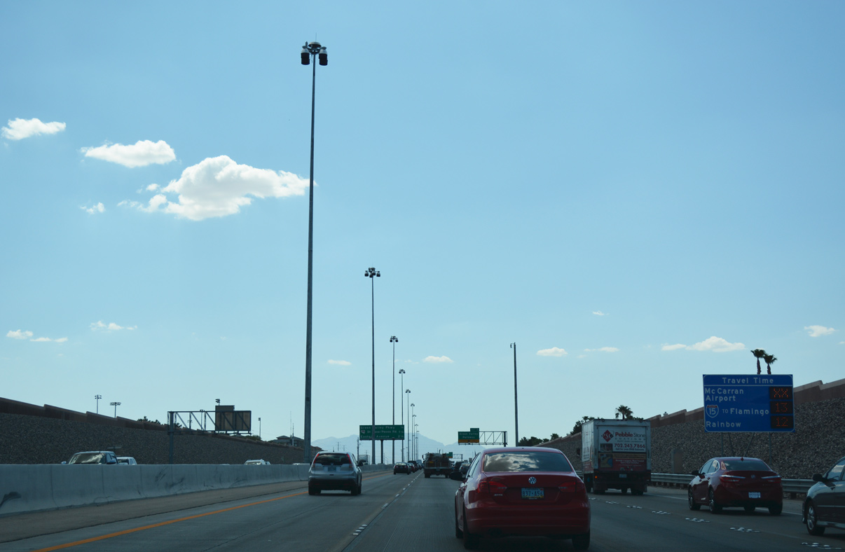
These displays are standard along Las Vegas area freeways, and often include travel times to important local interchanges or points of interest.
07/21/17

Interchange sequence sign posted 0.25 miles ahead of the ramp to Exit 5 (Green Valley Parkway). SR 146 (St. Rose Parkway) represents the final Henderson exit 2.25 miles ahead.
07/21/17
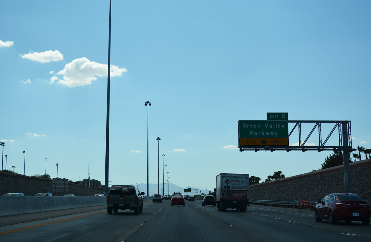
Green Valley Parkway (Exit 5) meanders northward through the Green Valley South neighborhood to Sunset Road (SR 562).
07/21/17
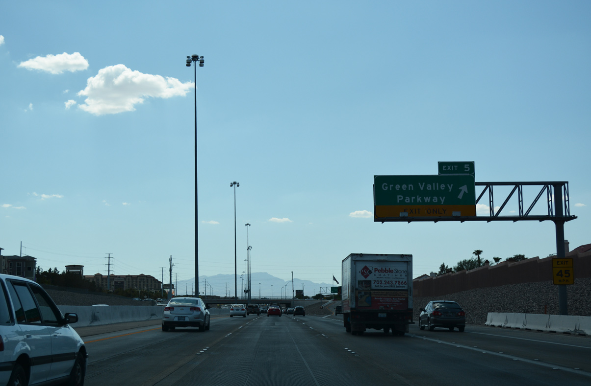
Westbound motorists along I-215 west reach the SPUI with Green Valley Parkway. Green Valley Parkway continues south from the freeway into Green Valley Ranch, passing through the District at Green Valley Ranch commercial center en route to Horizon Ridge Parkway.
07/21/17
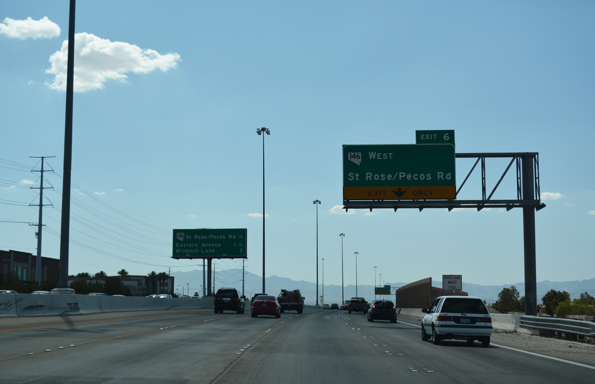
Exit 6 to SR 146 (St. Rose Parkway) south follows in quick succession from Green Valley Parkway (Exit 5). SR 146 provides a connection between I-215 (Bruce Woodbury Beltway) and I-15 at the southernmost point of the Las Vegas metro area.
07/21/17
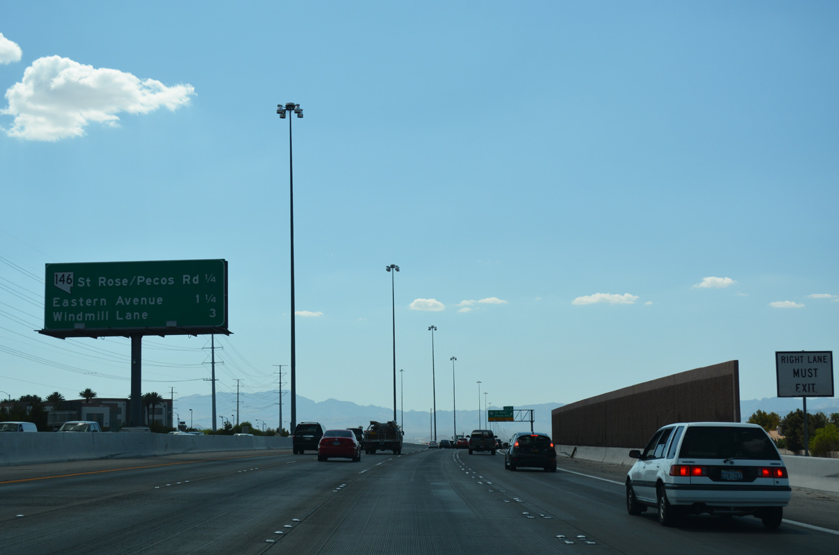
Interstate 215 bends west on the quarter mile drive to SR 146. Originating from Flamingo Road (SR 592) in northern reaches of Paradise, Pecos Road ties into Exit 6 from the north.
07/21/17
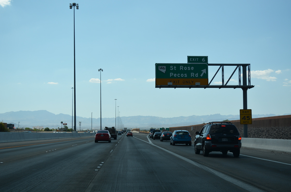
Exit 6 departs for SR 146 (St. Rose Parkway) and Pecos Road. SR 146 extends 6.4 miles southwest between the Silverado and Seven Hills neighborhoods to I-15 opposite Southern Highlands Parkway.
07/21/17
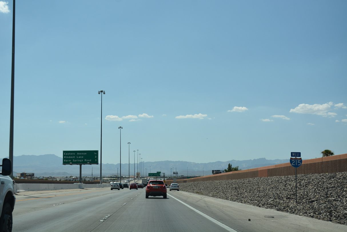
The Sandstone Bluffs remain in constant view as I-215 west advances through unincorporated Paradise. The ensuing exit is for Eastern Avenue. Windmill Lane (Exit 8) and Warm Mineral Springs (Exit 9) both run east-west between Paradise and Henderson.
07/21/17
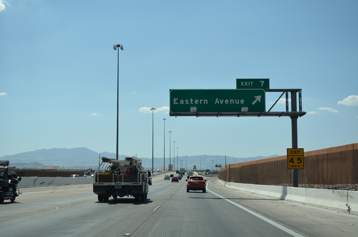
Traveling along a mixed use corridor, Eastern Avenue extends north 11.5 miles to North Las Vegas. Southward from Exit 7, Eastern Avenue curves southeast to SR 146 (St. Rose Parkway) near Seven Hills.
07/21/17
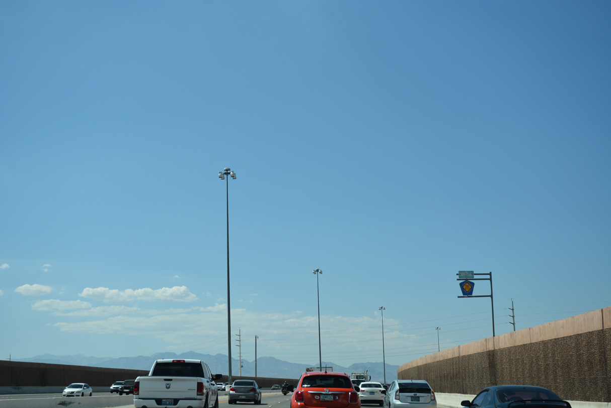
Posted between S Spencer Street and Pebble Road, this CC-215 shield assembly replaced one for I-215 by 2013. This portion of the freeway was the filming location for a car chase scene in the 1998 movie Lethal Weapon 4.
07/21/17
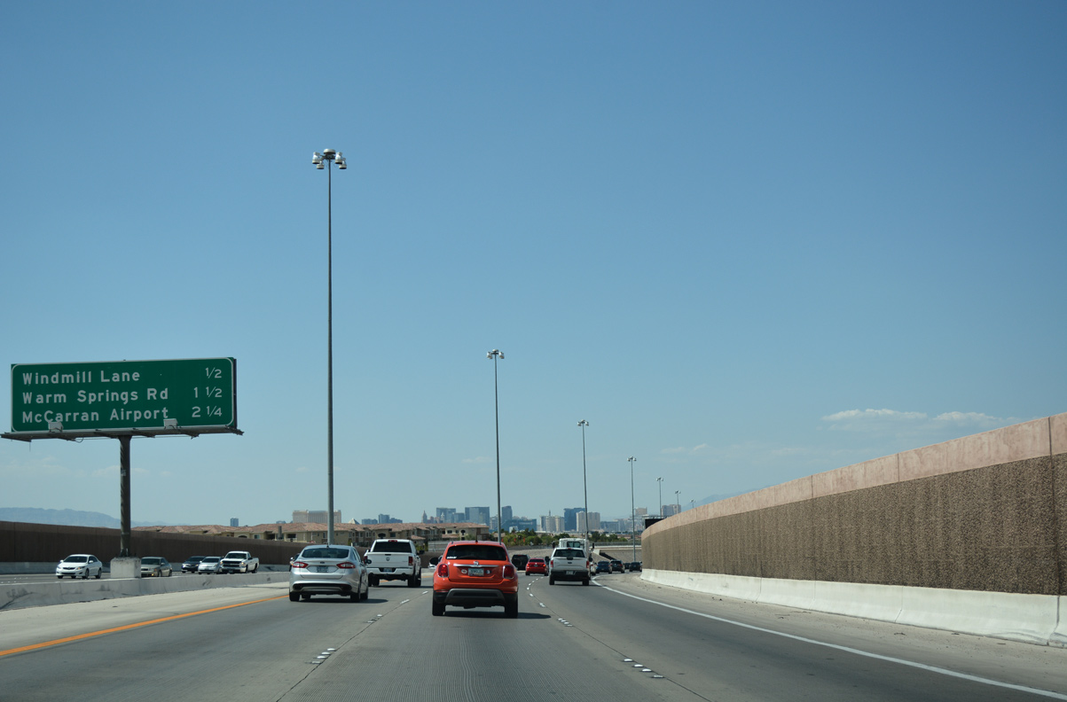
A half mile ahead of Exit 8 to Windmill Lane, the southern extent of the Las Vegas Strip comes into view. SR 171 leaves for McCarran International Airport (LAS) in 2.25 miles.
07/21/17
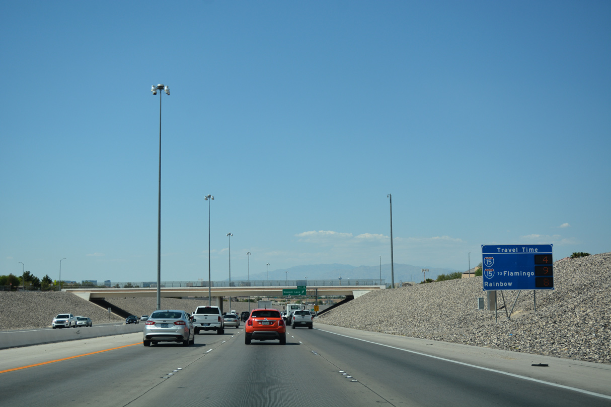
A dynamic travel time sign aids motorists on the approach to the SPUI (Exit 8) with Windmill Lane. This sign was in place by 2012.
07/21/17
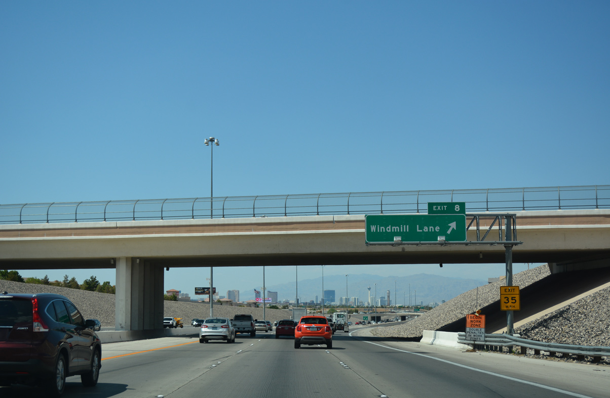
More of the Strip appears along I-215 (Bruce Woodbury Beltway) west at Exit 8 below the Wigwam Avenue underpass. Windmill Lane stretches east toward Green Valley South and Henderson. Heading west, Windmill Lane ties into SR 160 (Blue Diamond Road) at an exchange with I-15.
07/21/17
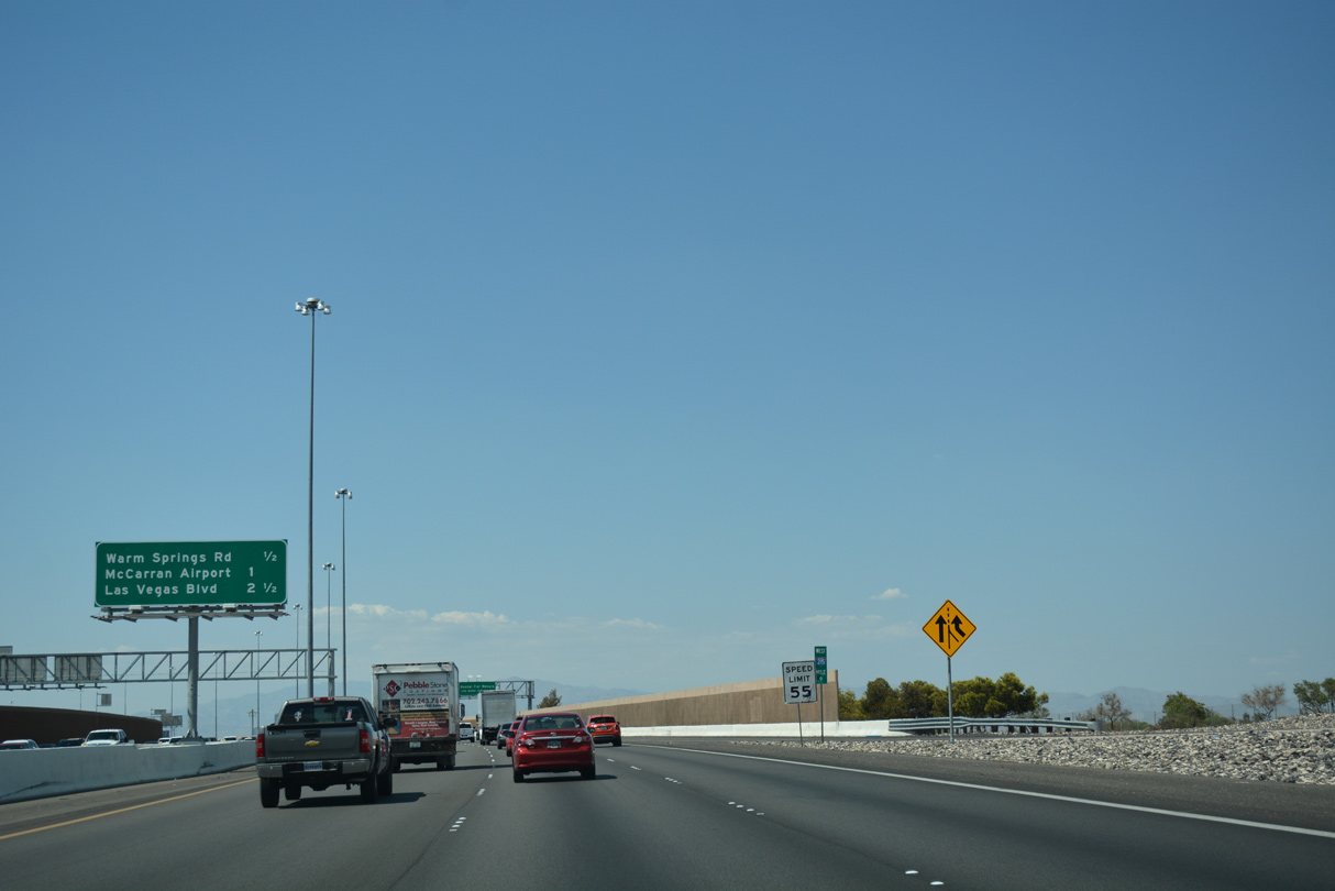
The beltway shifts northwest to a parclo interchange (Exit 9) with Warm Springs Road. Las Vegas Boulevard leads north in 2.5 miles to the Strip and Downtown.
07/21/17
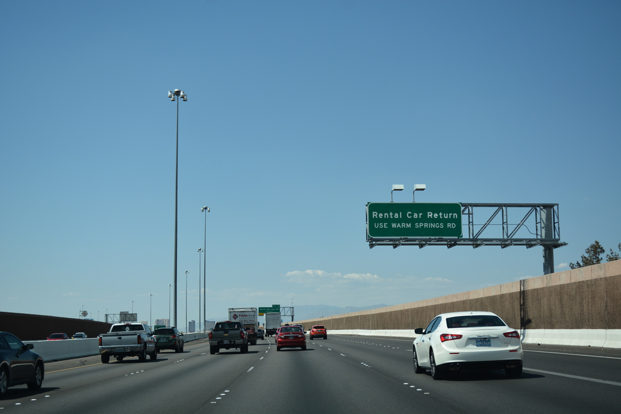
Interests to the McCarran Rent-A-Car Center are advised to connect with Warm Springs Road. The car rental facility lies to the west of Exit 9 at the northwest corner of Warm Springs Road and Gilespie Street.
07/21/17
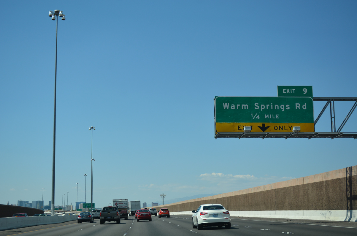
I-215 west widens to five travel lanes on the final approach to Exit 9 (Warm Springs Road). Warm Springs Road stretches across the lower valley connecting Spring Valley and Enterprise with Henderson. Locally, the arterial travels west 1.8 miles to Las Vegas Boulevard and east 1.2 miles to Eastern Avenue.
07/21/17
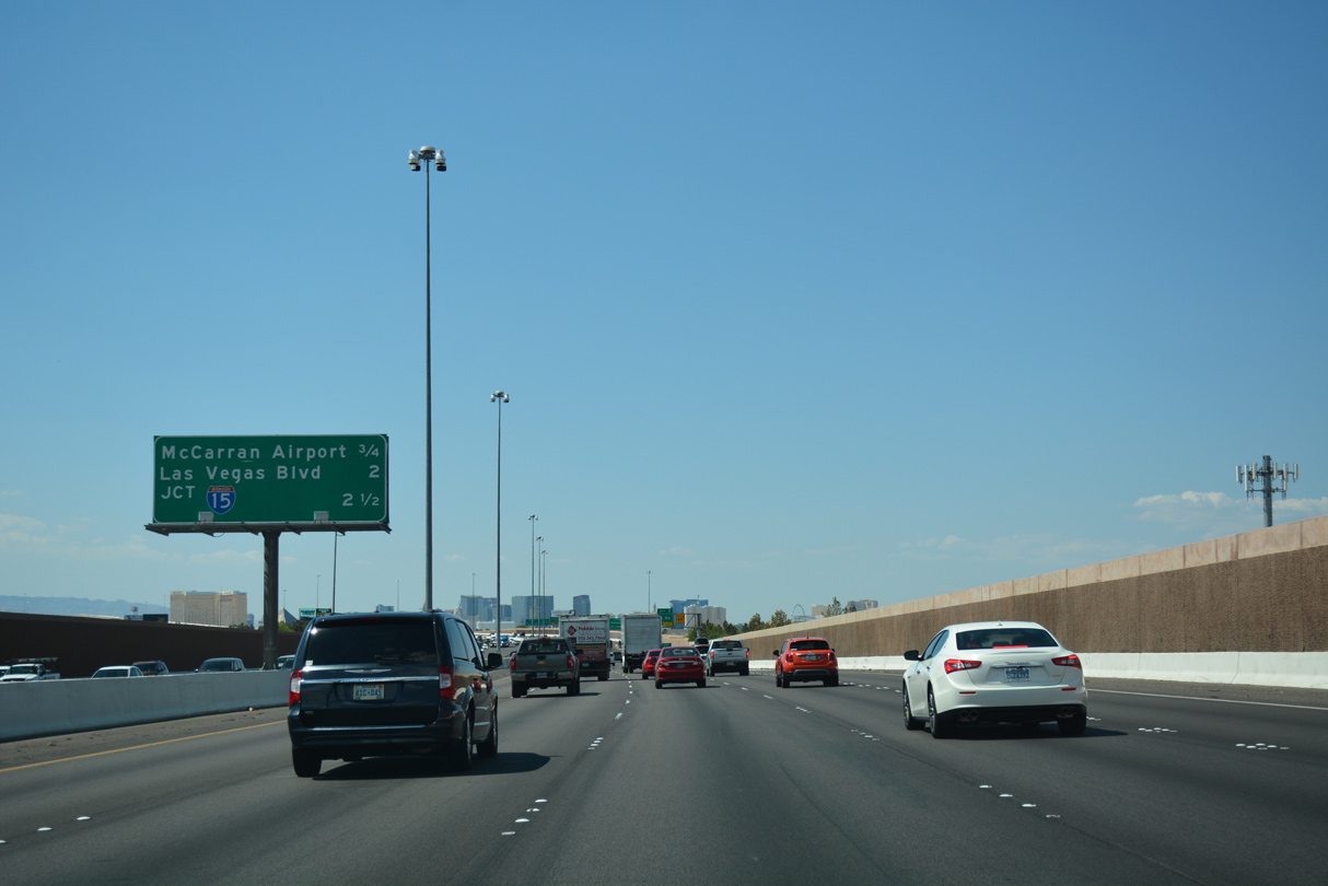
The succeeding exit is for McCarran International Airport (LAS). The Fish Bowl Interchange with I-15 follows in 1.75 miles.
07/21/17
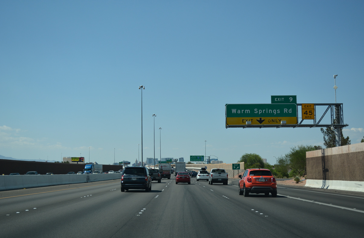
I-215 (Bruce Woodbury Beltway) reaches the egress point for Exit 9. Paradise Road stems north from Warm Springs Road at the parclo interchange with I-215 to Sunset Road opposite LAS. Warm Springs Road enters Paradise Valley to the immediate east.
07/21/17
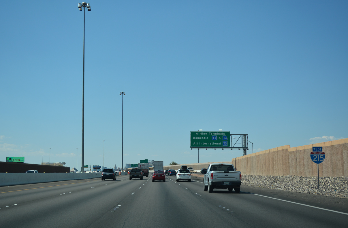
Confirming marker for I-215 west posted after Warm Springs and Paradise Roads. Signage for the LAS terminals follows for Exit 10.
07/21/17
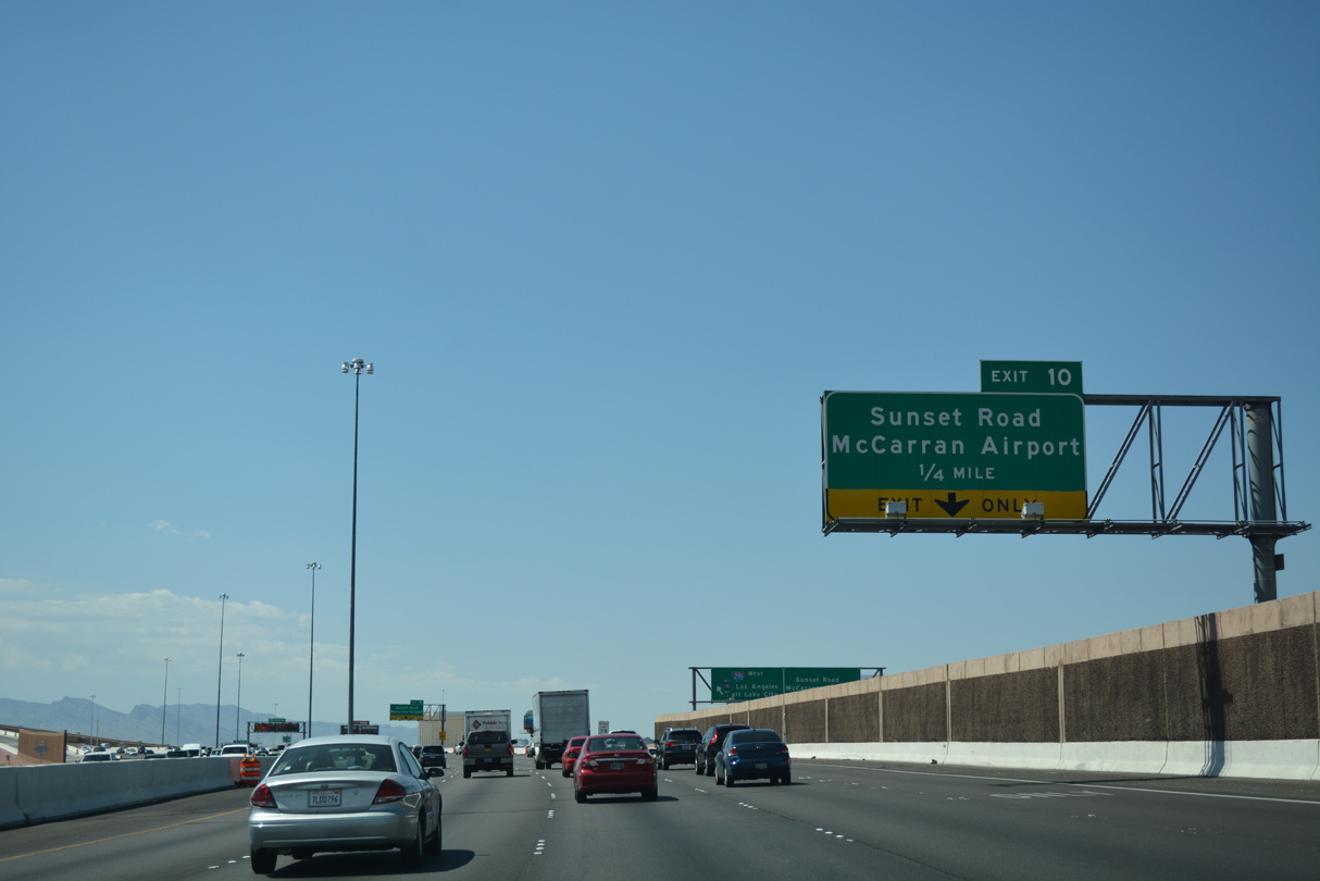
Formerly a part of SR 171, the McCarran Airport Connector spurs northward from Exit 10 to Sunset Road and LAS.
Construction wrapped up January 2014 and August 2017, respectfully, to modify the exchange between I-215, the Airport Connector, and Warm Springs Road.1 Work included direct access from Warm Springs Road to the Airport Connector and c/d roadways along I-215.
07/21/17
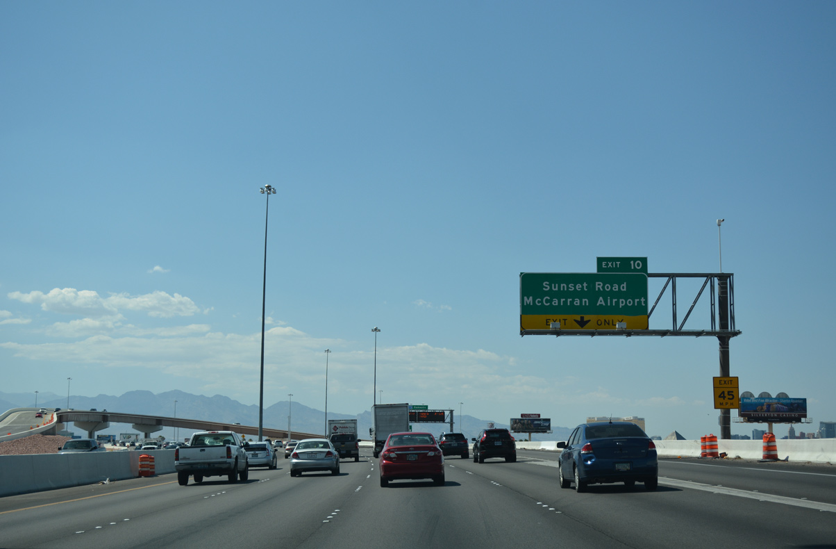
Including a tunnel section under the east-west runways of McCarran International Airport (LAS), the Airport Connector (former SR 171) opened by 1994. The connector transitions to Paradise Road beyond the terminal complex.
07/21/17
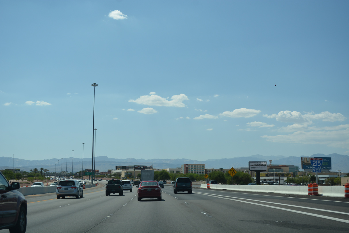
Entrance ramps follow in succession from Warm Springs Road (Exit 9) and the Airport Connector on this stretch of I-215 west.
07/21/17
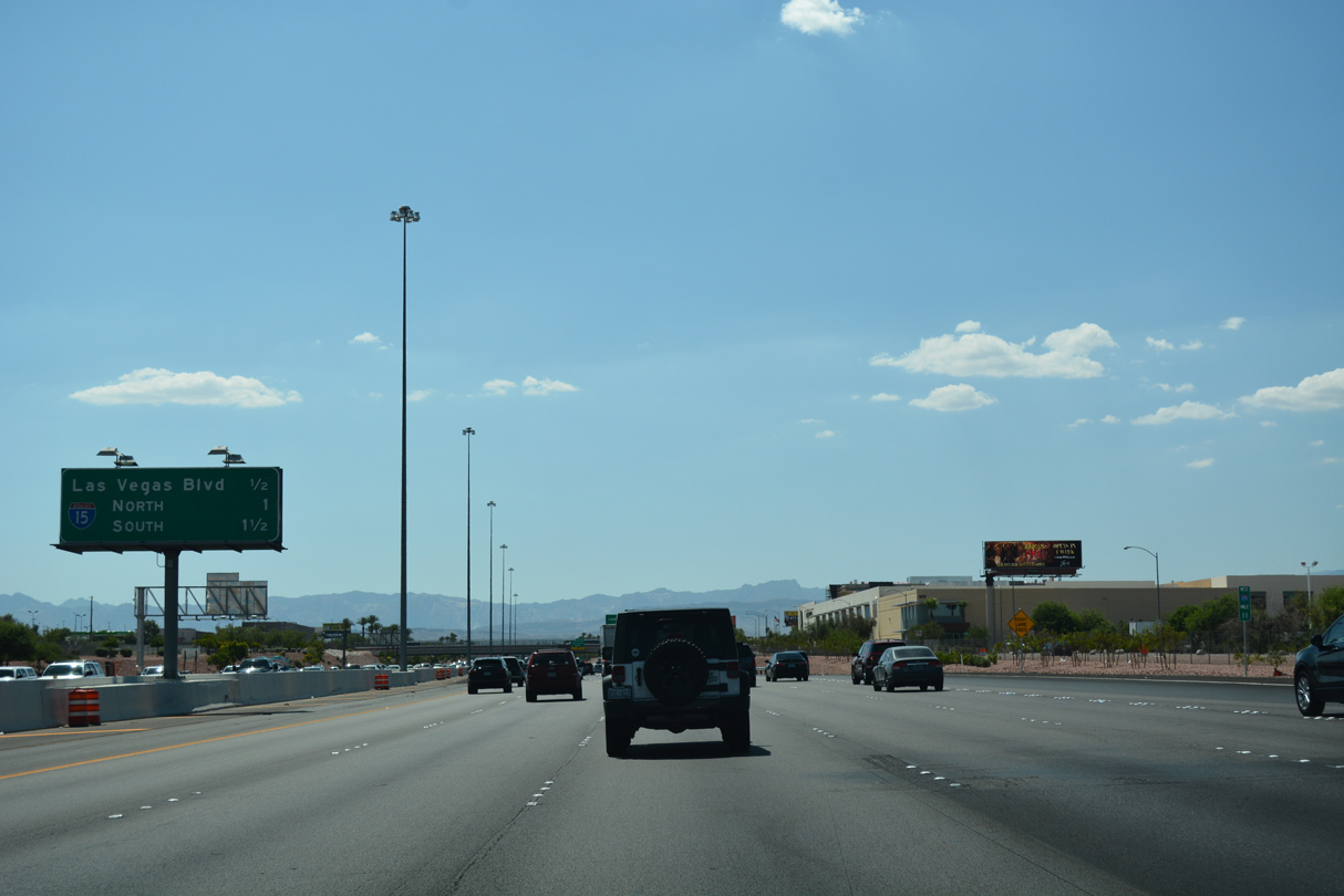
Continuing west, the Bruce Woodbury Beltway next meets Las Vegas Boulevard at Exit 11 and Interstate 15 to St. George, Utah and Barstow, California.
07/21/17

A second reassurance marker for I-215 west precedes the off-ramp to Las Vegas Boulevard.
07/21/17
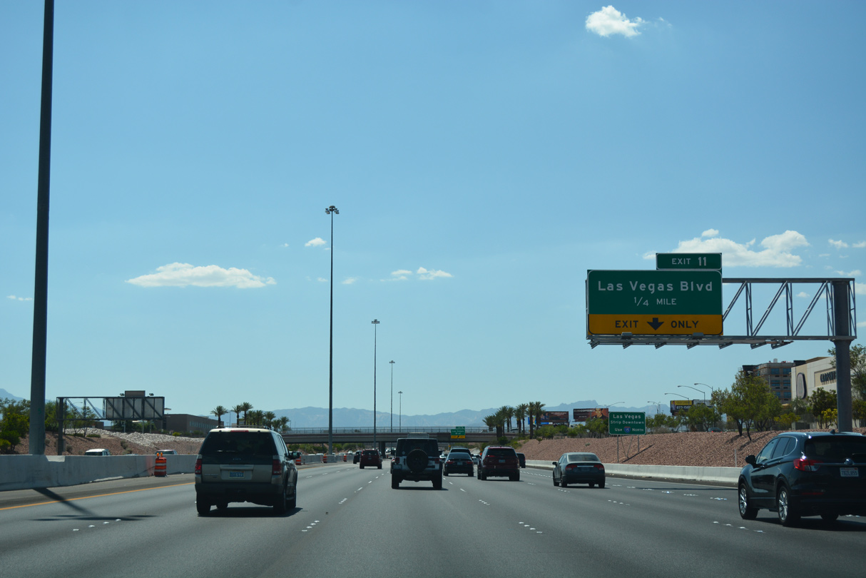
Exit 11 connects motorists with the hotel/casino resorts of the Las Vegas Strip and Downtown Las Vegas. Las Vegas Boulevard also represents the alignments of former SR 604 and U.S. 91-466.
07/21/17
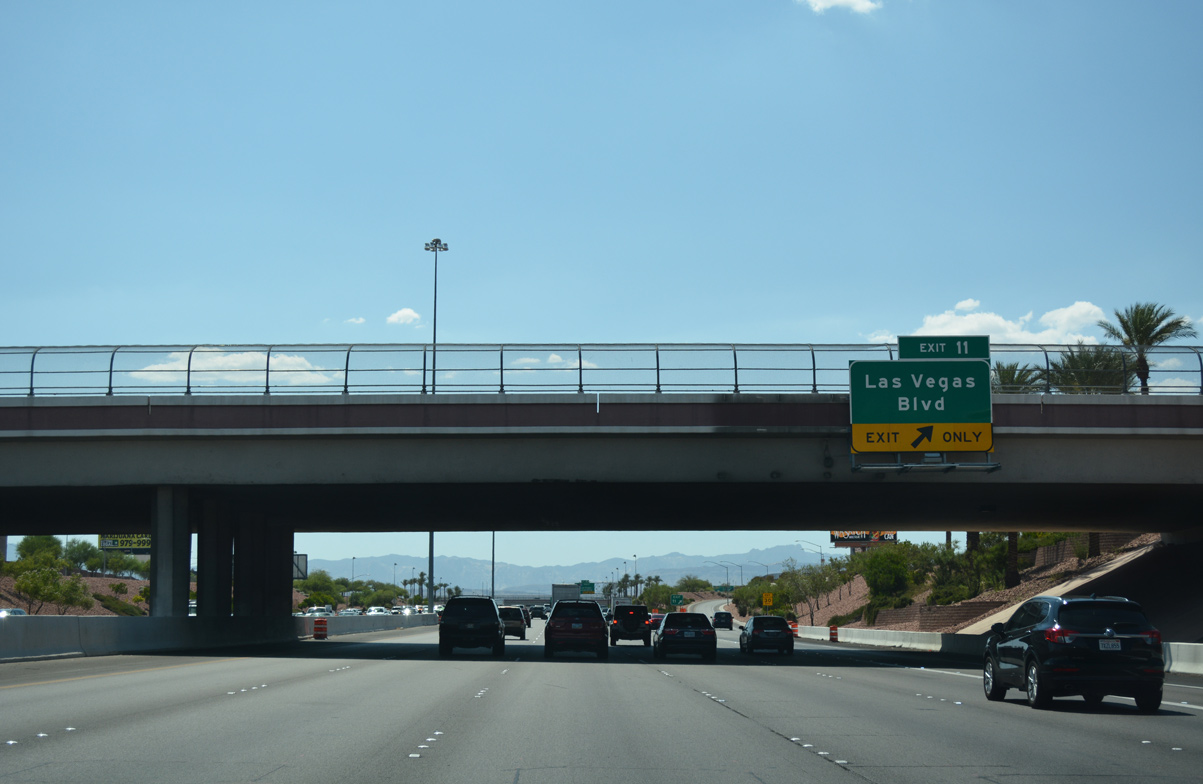
I-215 (Bruce Woodbury Beltway) west passes under Gilespie Street at the gore point (Exit 11) for Las Vegas Boulevard. Forming the Strip, numerous hotel/casino resorts line a six mile stretch of Las Vegas Boulevard from Russell Road to St. Louis Avenue. These include the MGM Grand, City Center, Caesars Palace and The Venetian.
07/21/17

I-215 advances west toward the exchange with I-15. Locally referred as the Fish Bowl interchange, two separate ramps carry traffic onto I-15 north (Exit 12A) and south (Exit 12B).
07/21/17
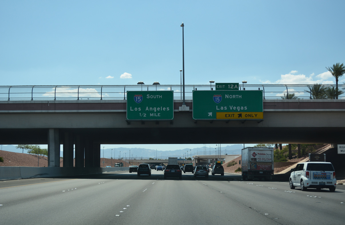
Las Vegas Boulevard spans the Bruce Woodbury Beltway just ahead of Exit 12A. Paralleling Las Vegas Boulevard and the Strip, I-15 runs north from I-215 to Downtown. Regionally, I-15 continues through North Las Vegas toward Mesquite and northwestern Arizona.
07/21/17
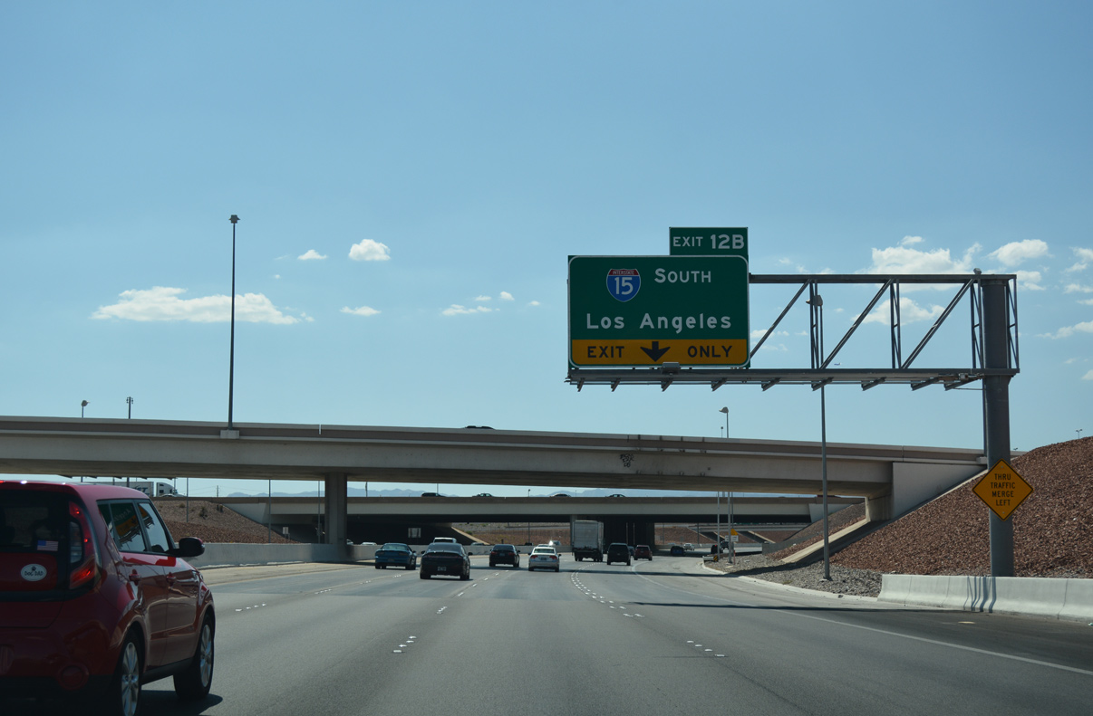
Entering into the Fish Bowl Interchange, a single lane ramp departs for Interstate 15 south to Barstow and San Diego, California. I-15 bypasses Los Angeles 40 miles to the east at San Bernardino.
07/21/17
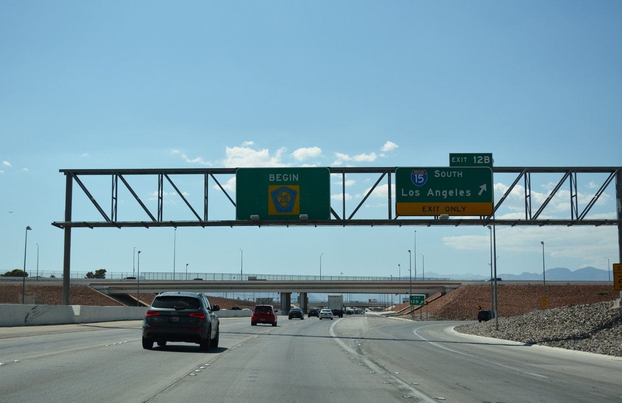
Interstate 215 transitions into CC-215 beyond Exit 12B to I-15 south. I-15 leaves the Las Vegas metro area beyond Exit 27 (SR 146) for Primm at the California border.
07/21/17

References:
- Airport Connector Project, Clark County Public Works web page. Accessed June 16, 2018.
Photo Credits:
- Brent Ivy: 07/21/17
Connect with:


Page Updated Thursday June 14, 2018.