
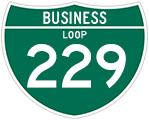
Business Loop I-229 South


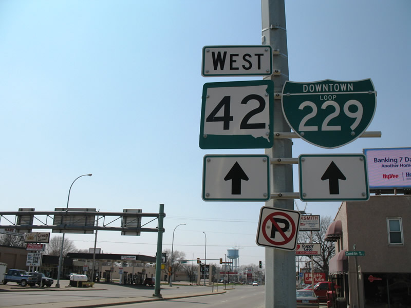
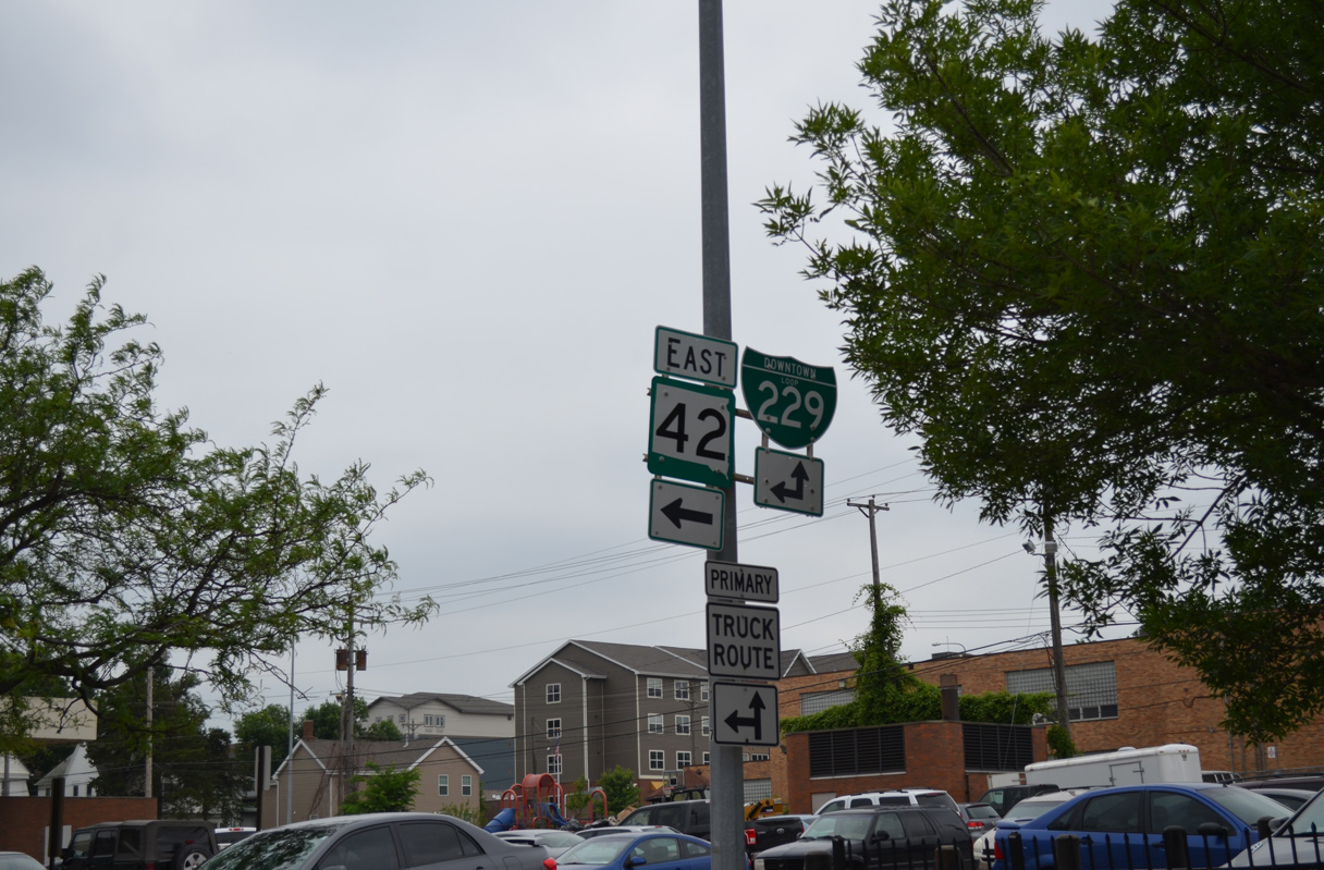
The westbound beginning of Business Loop I-229 is located at the single point urban interchange (SPUI) joining SD 42 with Interstate 229. Pictured here is the first reassurance assembly that features Downtown in place of Business.
04/20/07
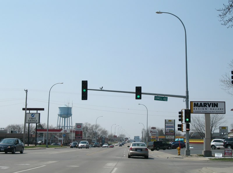
10th Street westbound at Lowell Avenue.
04/20/07
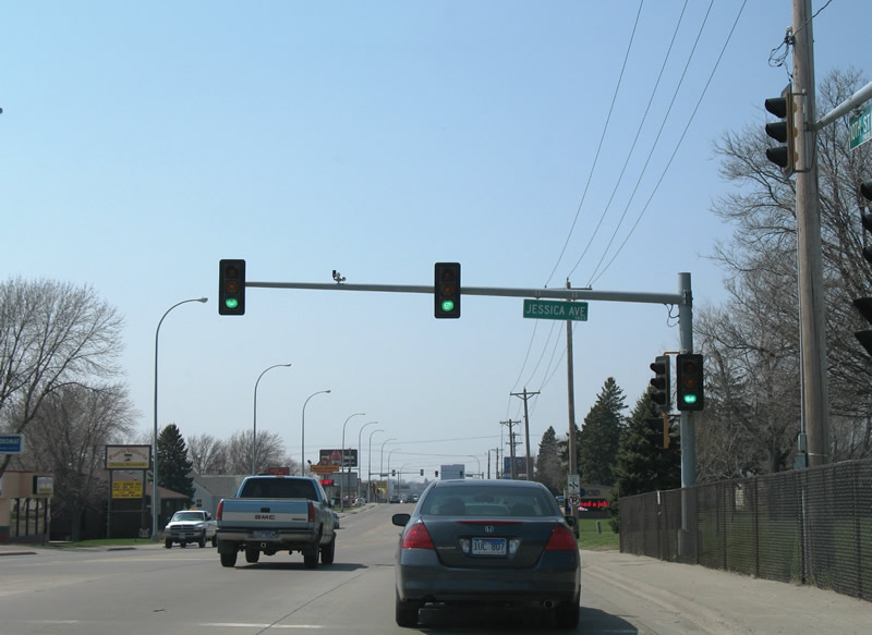
Jessica Avenue leads southward from Business Loop I-229/SD 42 (10th Street) west to Cherry Rock Park.
04/20/07
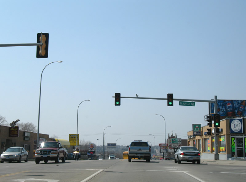
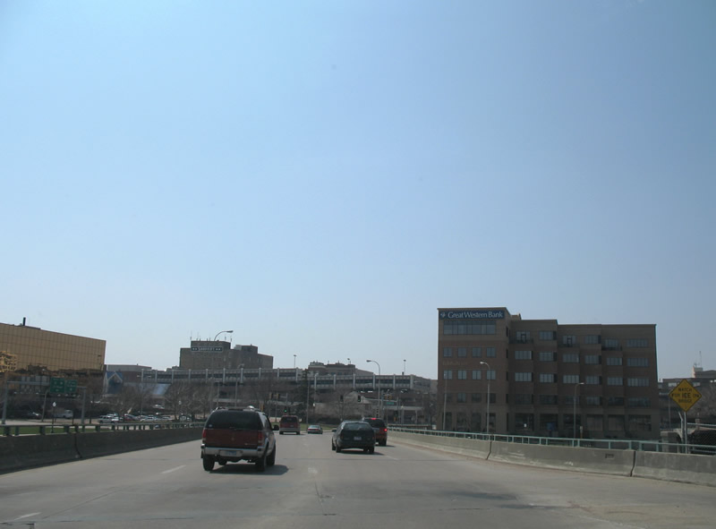
Business Loop I-229/SD 42 (10th Street) sink toward the Big Sioux River beyond Blauvelt Avenue.
04/20/07
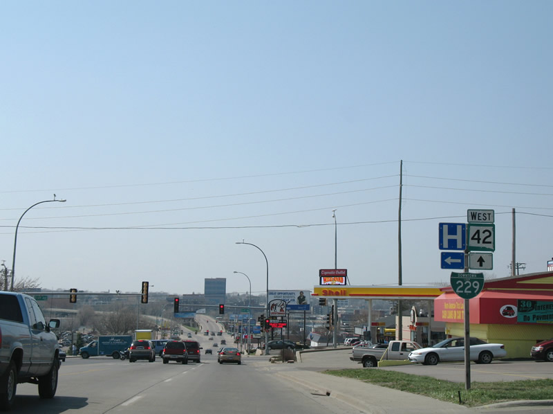
The second reassurance marker for Business Loop I-229 west resides ahead of Cliff Avenue. Cliff Avenue heads south to McKennan Hospital.
04/20/07
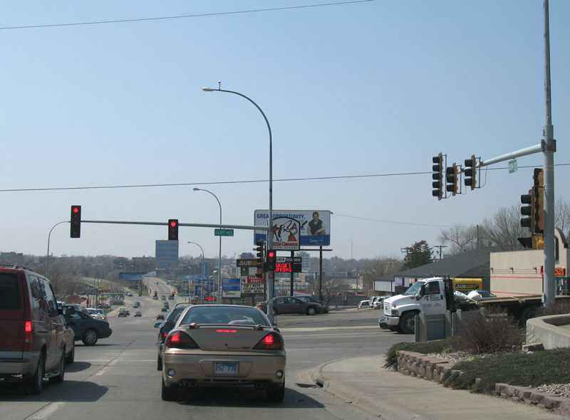
Westbound 10th Street at Cliff Avenue. Nelson Park occupies the southwest corner of this intersection.
04/20/07

Fairfax Avenue travels behind Nelson Park to a commercialized intersection with Business Loop I-229/SD 42 (10th Street).
04/20/07
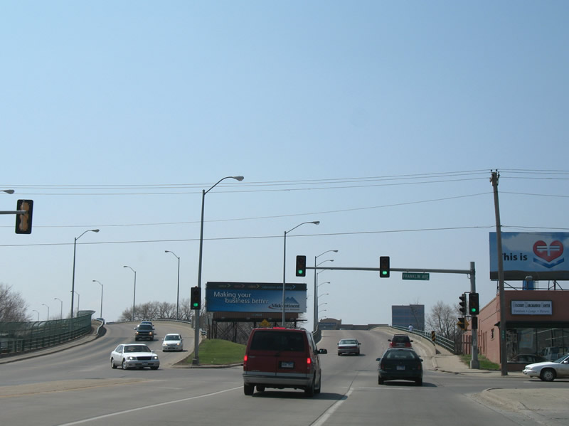
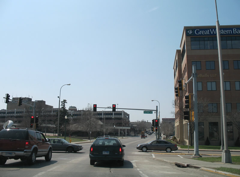
Business Loop I-229/SD 42 partition into a one way couplet beyond Franklin Avenue.
04/20/07
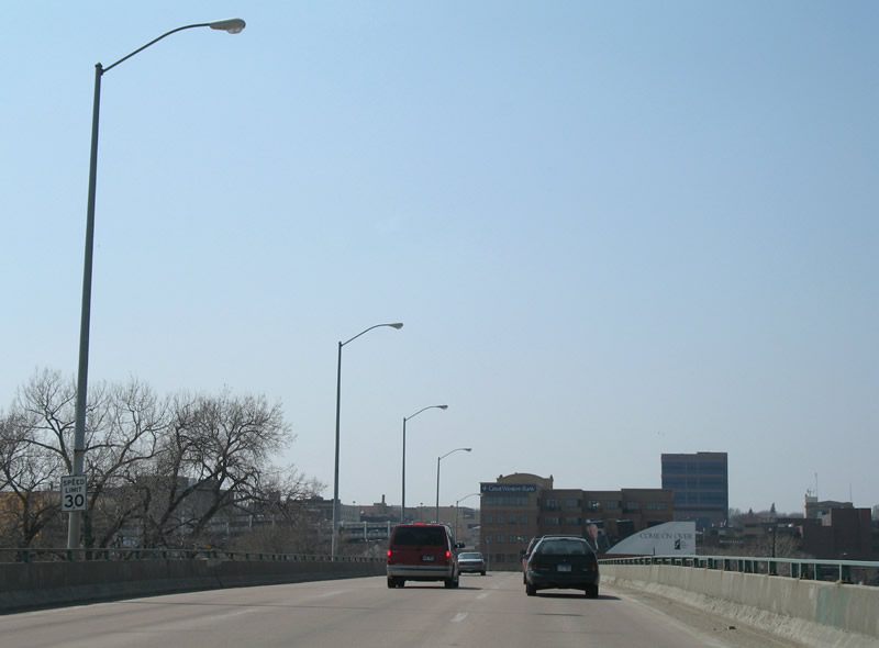
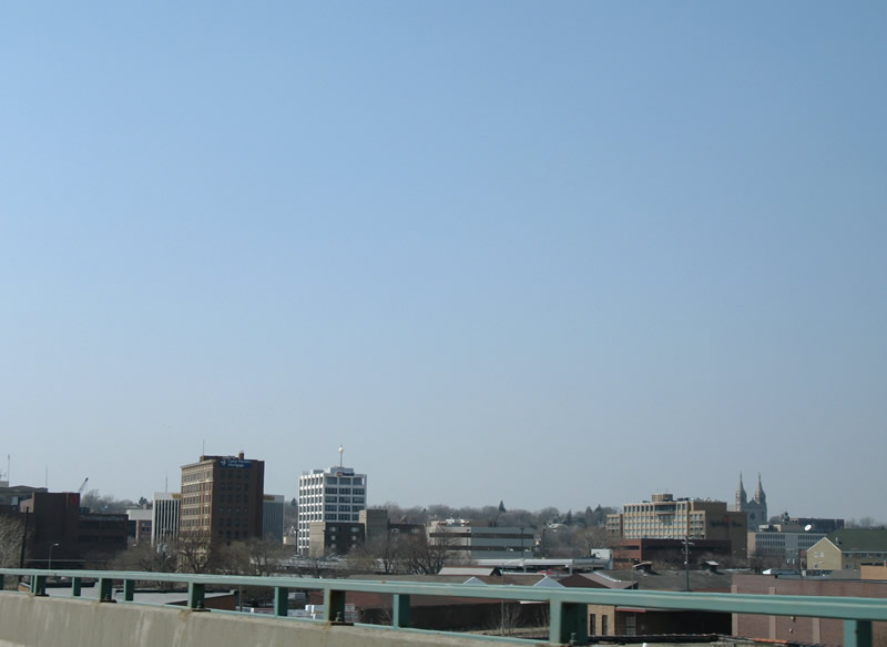
A viaduct carries 10th Street over railroad tracks and the Big Sioux River into Downtown Sioux Falls.
04/20/07
Reid Street ties into the 10th Street elevated highway from 8th Street before it touches down in the Sioux Falls central business district.
04/20/07
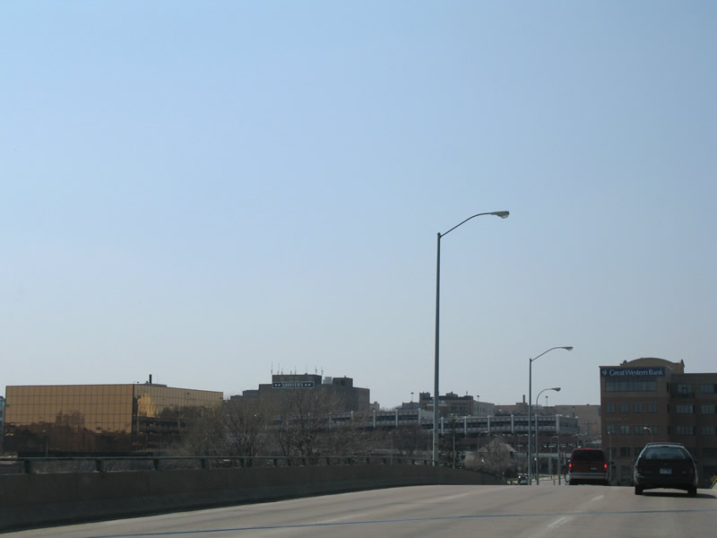
The viaduct descends and intersects 2nd Avenue at River Road.
04/20/07
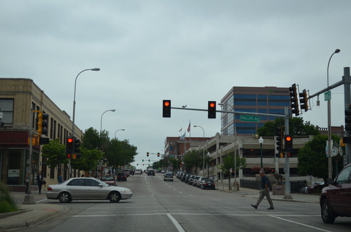
Continuing west on Business Loop I-229/SD 42 (10th Street) to Phillips Avenue in Downtown Sioux Falls.
06/17/15
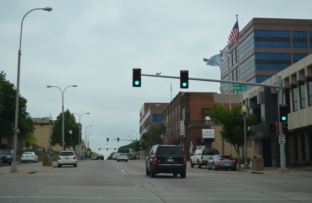
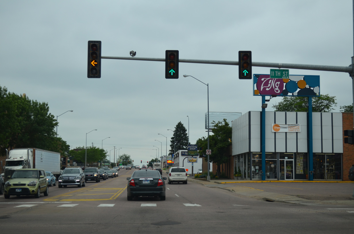
Next on 10th Street west is the signalized intersection with Main Avenue.
06/17/15
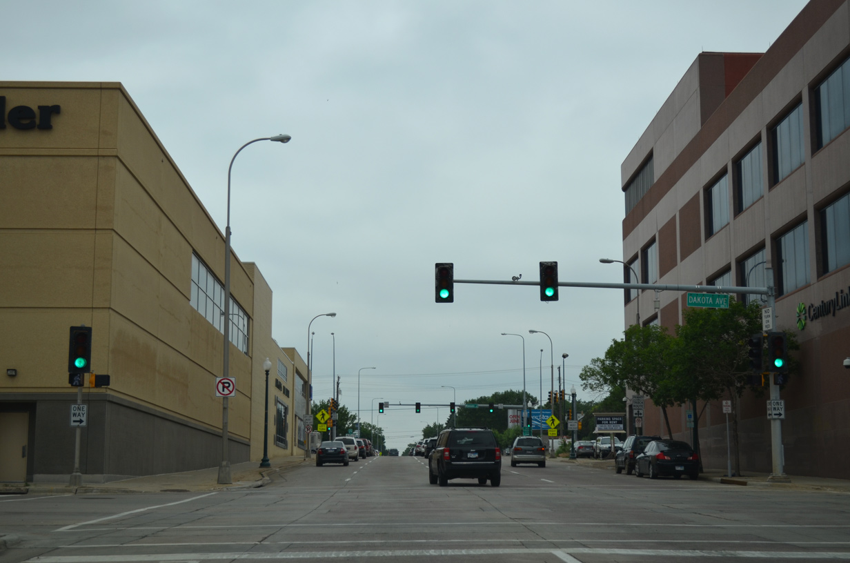
Dakota Avenue leads north one block to Sioux Falls city hall and south from Business Loop I-229 (10th Street) one block to Washington Pavilion.
06/17/15

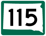
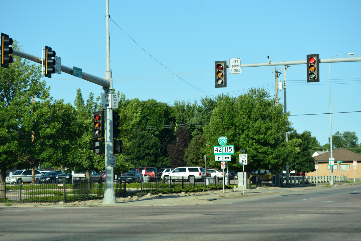
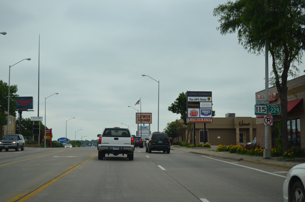
Business Loop I-229 and SD 42 (10th Street) split at SD 115 (Minnesota Avenue), where historically U.S. 16/77 intersected. Minnesota Avenue carries Business Spur I-90/SD 115 north toward Sioux Falls Regional Airport (FSD) and I-90.
08/13/16
Business Loop I-229 joins SD 115 (Minnesota Avenue) south from 10th Street back to I-229. SD 42 (10th Street) continues west alongside Business Spur I-29 through the Pettigrew Heights neighborhood.
08/13/16
Business Loop I-229 south overtakes Minnesota Avenue from the ending Business Spur I-90, one block ahead of SD 42 east and BL I-229 north on 11th Street.
06/17/15
11th Street leads east to Washington Pavilion, the Whittier neighborhood, I-229 and the state maintained portion of SD 42 along Arrowhead Parkway.
06/17/15
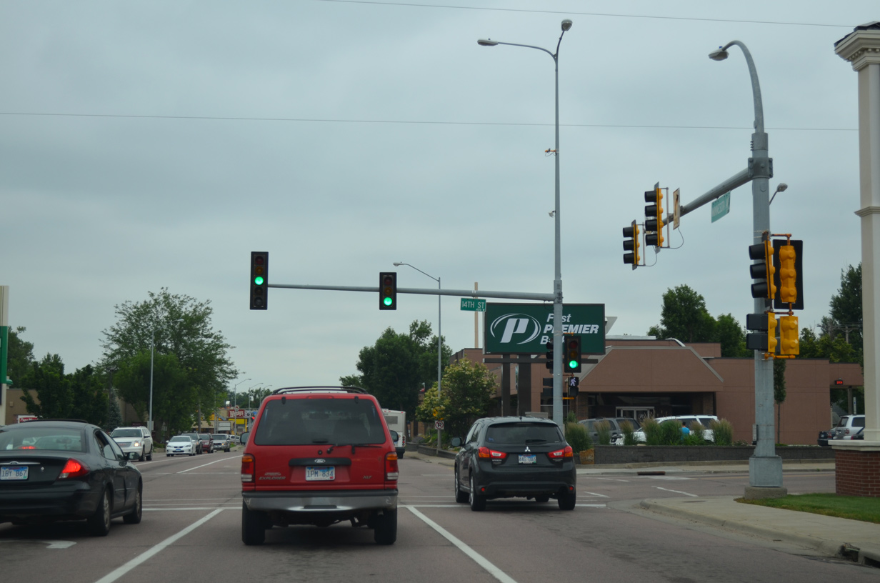
14th Street lines the south end of Downtown east from Minnesota Avenue. The street ends three blocks to the west in the Pettigrew Heights neighborhood.
06/17/15
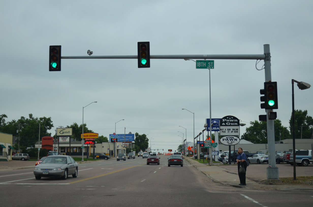
Advancing south across a BNSF Railroad line, Business Loop I-229 reaches the traffic light at 18th Street. 18th Street heads west to the Sanford USD Medical Center and east through the All Saints neighborhood.
06/17/15
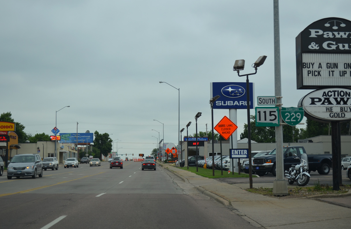
Reassurance markers, the first for the Downtown Loop I-229/SD 115 overlap, appear along Minnesota Avenue south after 18th Street.
06/17/15
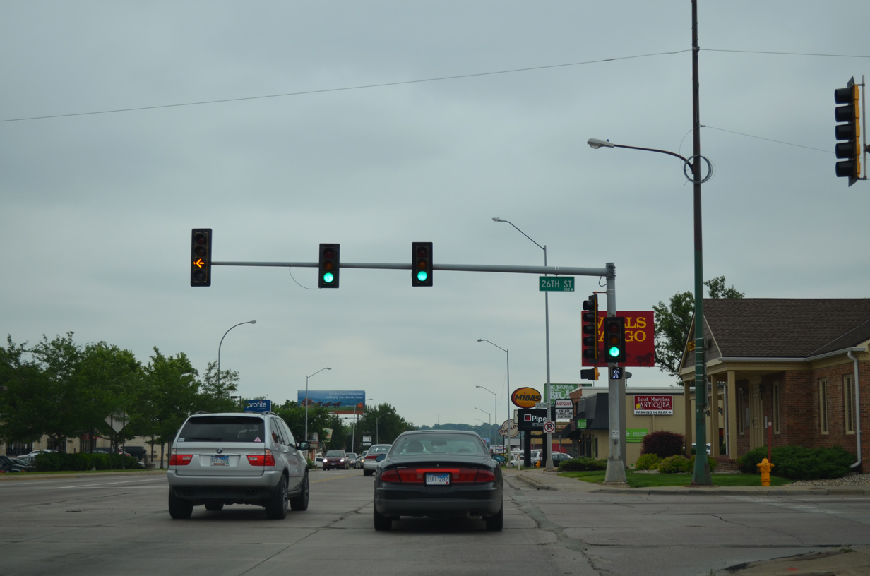
26th Street connects Minnesota Avenue with the Hayes Historic District and McKennan Park to the east and the Park Ridge neighborhood to the west.
06/17/15
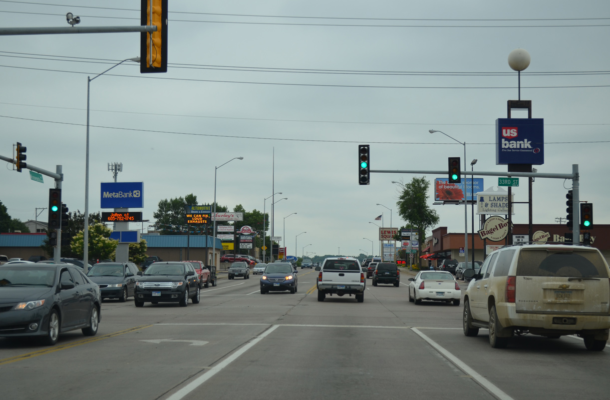
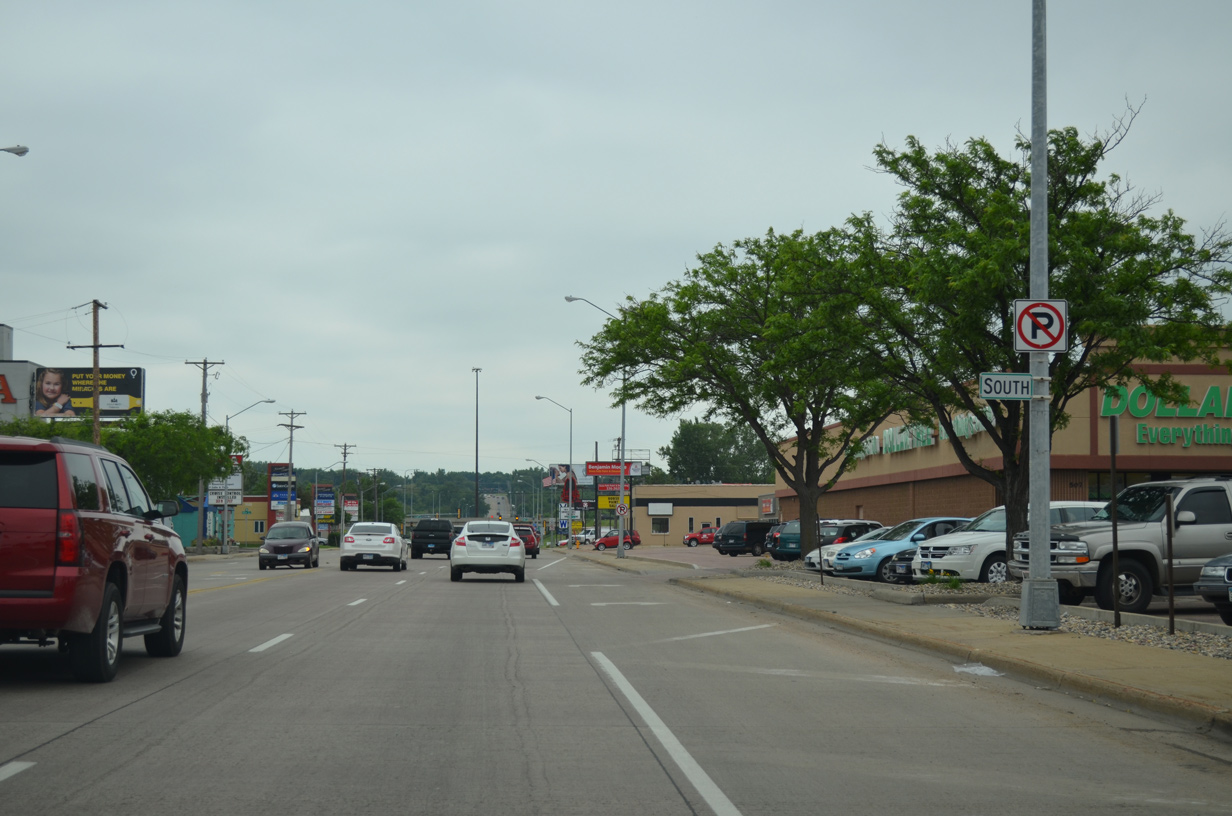
Commercialized frontage continues along both sides of Minnesota Avenue south to 33rd Street, where strip malls and larger retail establishments take over.
06/17/15
Shields for Downtown Loop I-229/SD 115 posted south of 33rd Street.
06/17/15
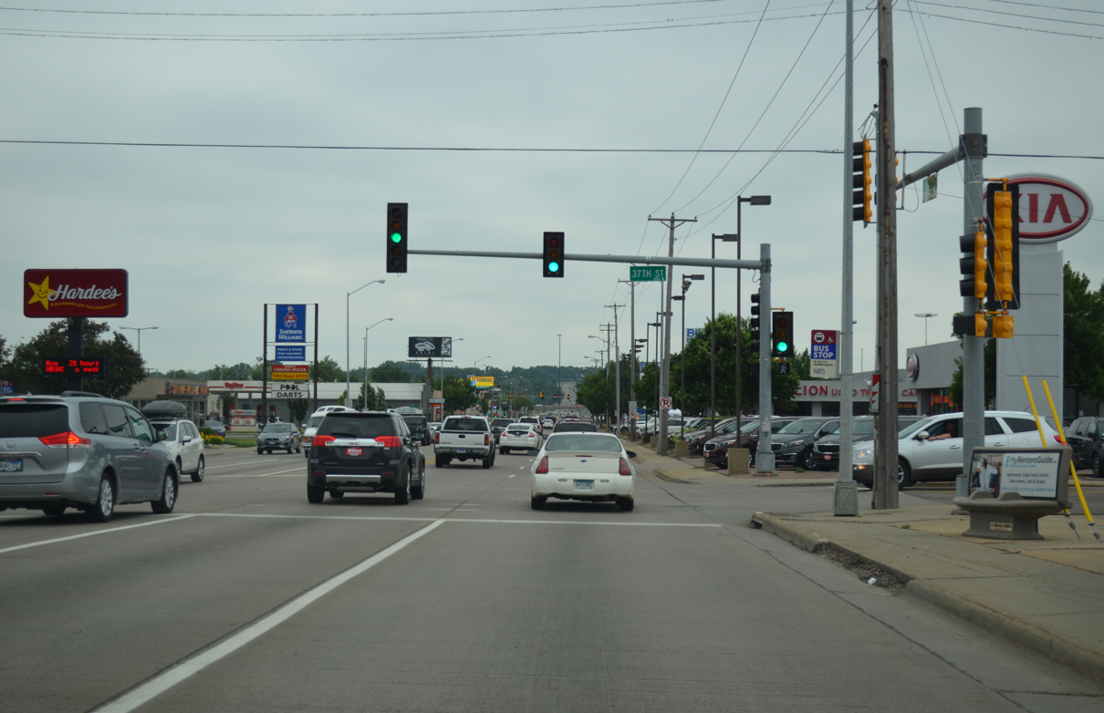
37th Street travels west from Phillips Avenue to Kirkeby-Over Stadium, home of Augustana University football.
06/17/15
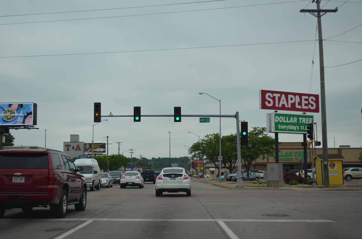
41st Street constitutes an east-west commercial boulevard from Minnesota Avenue west to Interstate 29 by The Empire Mall. The street continues east to Cliff Avenue and the Rose Hill Addition neighborhood.
06/17/15
The final Downtown Loop I-229 shield was missing from the assembly posted south of 41st Street.
06/17/15
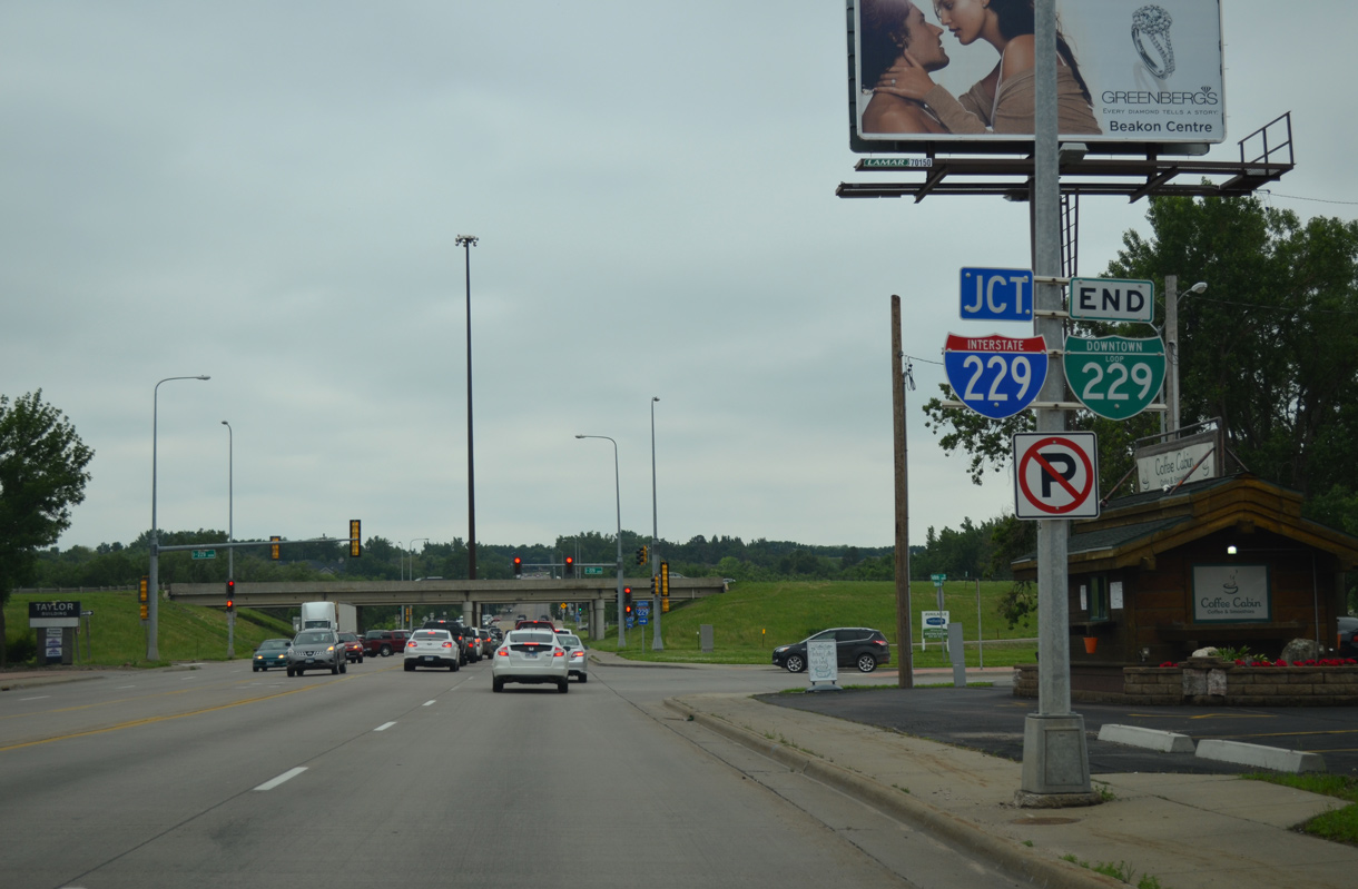
An end shield formally marks the conclusion of Downtown Loop I-229 as Minnesota Avenue enters the diamond interchange with Interstate 229.
06/17/15
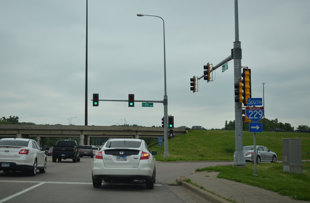
Interstate 229 angles southwest to merge with I-29 in 4.3 miles. Two additional exits southbound serve the Lincoln County section of Sioux Falls.
06/17/15
Photo Credits:
- Alex Nitzman: 04/20/07
- ABRoads: 06/17/15, 08/13/16
Connect with:
Page Updated Monday February 17, 2020.