
Interstate 381 / State Route 381


Interstate 381 constitutes a 1.39 mile long route extending southwest from I-81/U.S. 58 to Commonwealth Avenue north of Downtown Bristol. The freeway spur winds through a valley between two subdivisions to an at-grade intersection with Keys Street west and Church Street east. Unsigned SR 381 extends 0.63 miles south from the freeway along Commonwealth Avenue to U.S. 11, U.S. 11E, U.S. 11W and U.S. 421 and 1.20 miles overall to the Tennessee state line at State Street.
Interstate 381 was constructed at the same time as a six mile section of I-81 from the Tennessee state line northeast to U.S. 11/19 at Exit 5. Costing $7 million to build, both highways opened to traffic on November 18, 1961.1
 South
South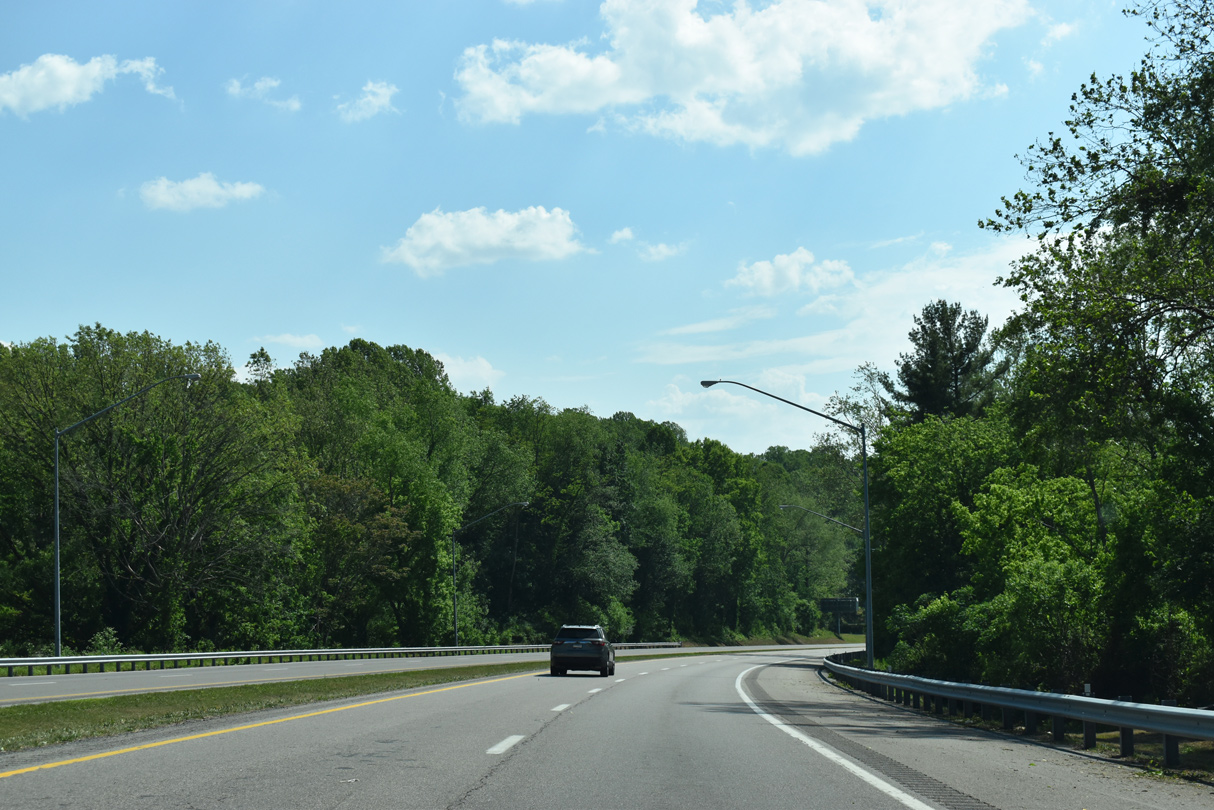
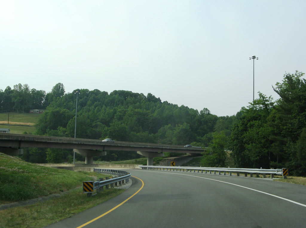
Interstate 381 travels 1.67 miles southwest from a directional T interchange with I-81/U.S. 58 to Keys Street in northern reaches of Bristol.
05/26/21
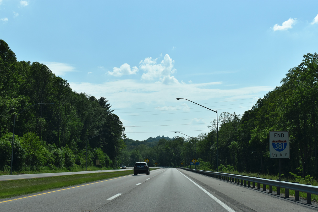
This advisory sign is posted one half mile ahead of the southern end of I-381 at the signalized intersection with Keys and Church Streets.
05/26/21
Interstate 381 transitions into Commonwealth Avenue at Keys Street west and Church Street east. Pinecrest Road parallels I-381 from a subdivision sandwiched between the freeway and nearby I-81/U.S. 58. The frontage street ties into Commonwealth Avenue Extension near Keys Street.
05/26/21
I-381 concludes as the south end of the freeway ties into Church and Keys Streets. Church Street spurs east to an adjacent house of worship. Keys Street continues Church west from I-381 and Commonwealth Avenue to Martin Road in adjacent residential areas.
05/26/21
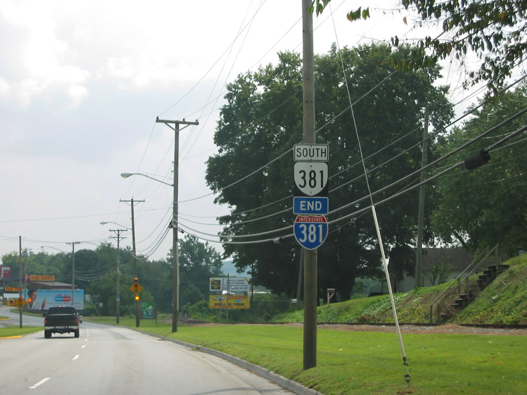
Previous signs posted beyond Keys Street referenced the end of I-381 and the beginning of SR 381. The SR 381 shield was removed by 2005; the end I-381 marker disappeared by 2007.
08/24/03
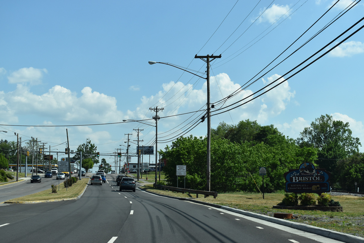
The independent city of Bristol was founded in 1850, and is joined by its counterpart city across the Tennessee state line.
05/26/21
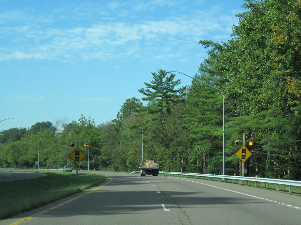
Continuing south from Keys Street, Commonwealth Avenue (unsigned SR 381) intersects Spurgeon Lane west at the next traffic light.
05/26/21
Glenway Avenue heads east from Commonwealth Avenue to connect the arterial with the Spring Garden section of Bristol.
05/26/21
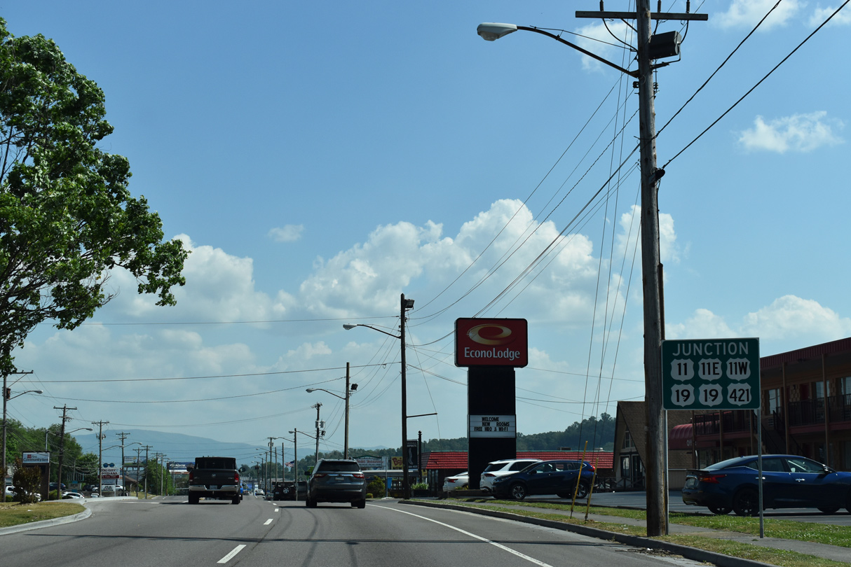
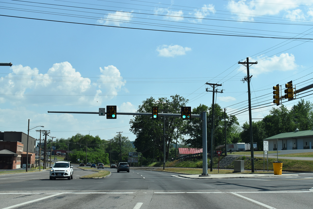
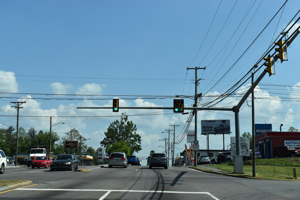
SR 381 (Commonwealth Avenue) meets U.S. 11/11E/11W/19/421 ahead at the upcoming intersection with Euclid Avenue. U.S. 11 splits into U.S. 11W (Euclid Avenue west) and U.S. 11E (Commonwealth Avenue south).
05/26/21
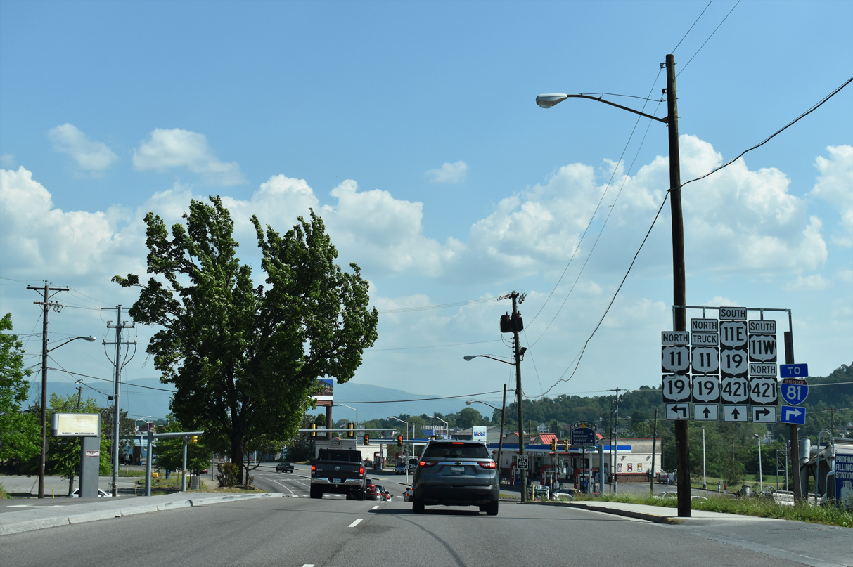
U.S. 11/19 combine from Bristol to Abingdon to the east along Lee Highway. U.S. 11W/421 overlap southwest to Gate City Highway at the Tennessee state line. U.S. 11E/11W recombine at Knoxville. Commonwealth Avenue continues south as U.S. 11E/19/421 and as a truck route for U.S. 11/19.
05/26/21
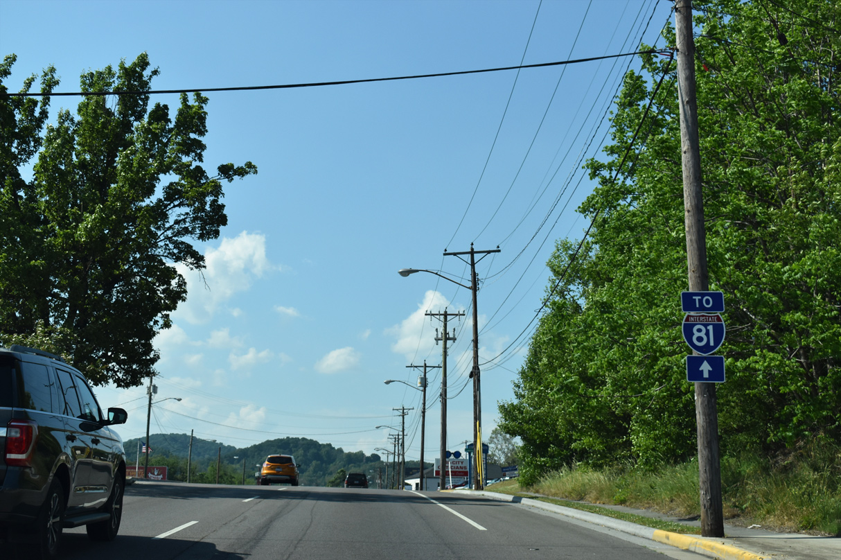
SR 381 follows Commonwealth Avenue from Euclid Street (U.S. 11/19/421) through northern Bristol to I-381 and I-81.
05/26/21
Northbound Commonwealth Avenue at Glenway Avenue east. Glenway Avenue connects unsigned SR 381 with Spring Garden.
05/26/21
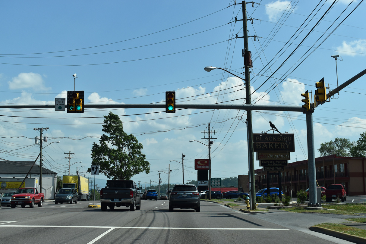
A second signal follows for Spurgeon Lane west. Spurgeon Lane connects SR 381 with Island Road, an eventual frontage road of I-81.
05/26/21
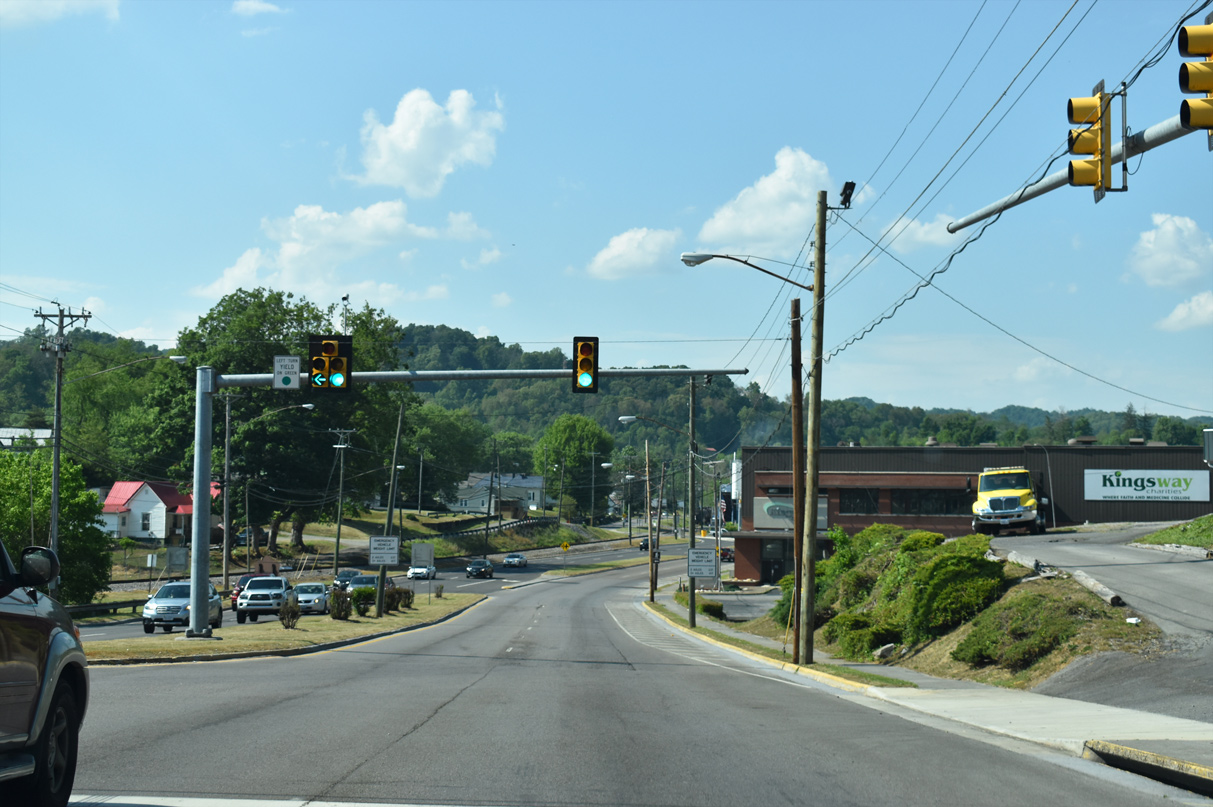
Keys Street angles northeast from Martin Road and Spurgeon Lane to Commonwealth Avenue opposite Church Street. Interstate 381 begins at this intersection.
05/26/21
North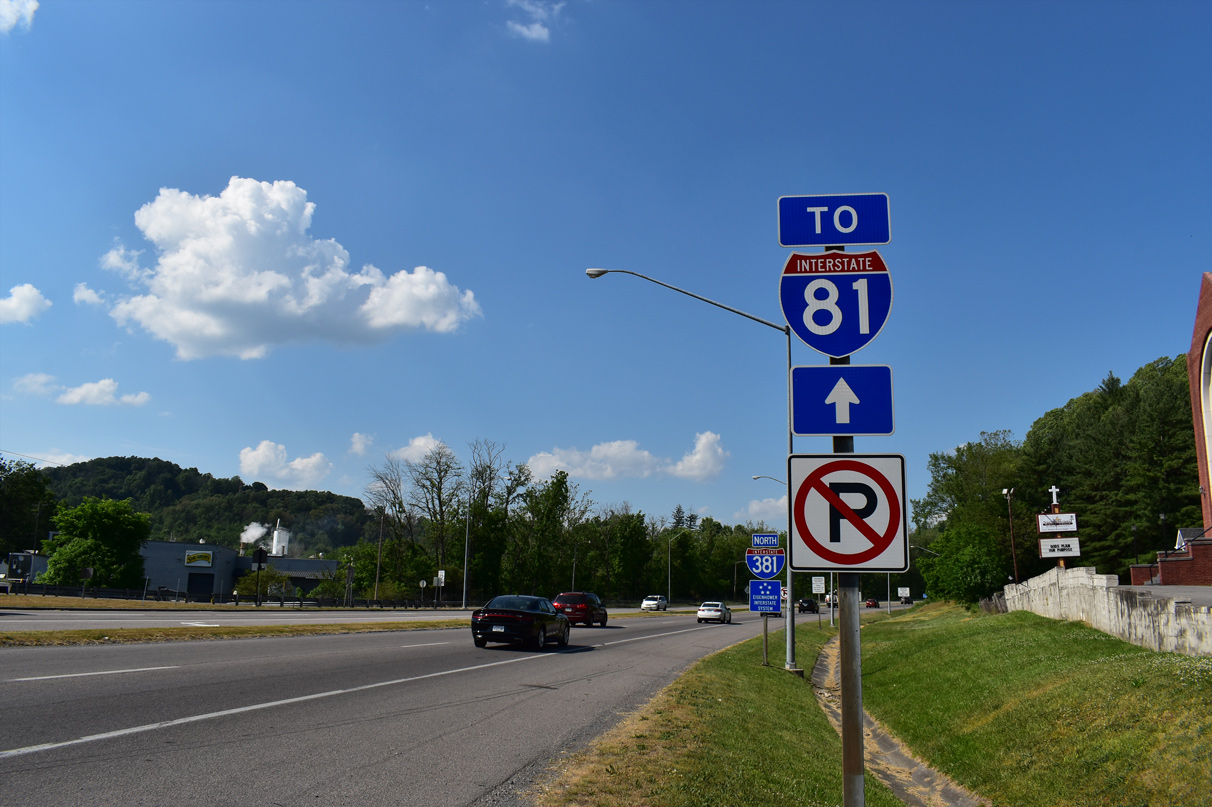
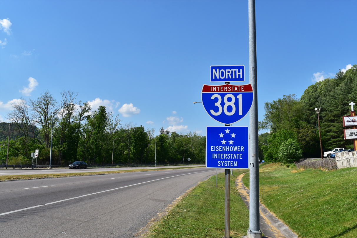
Interstate 381 commences a 1.67 mile run from Keys Street northeast to Interstate 81 along the northern Bristol limits.
05/26/21
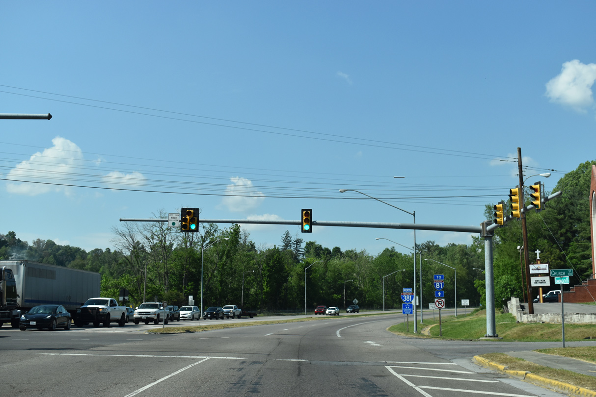
Interstate 381 ends 0.70 miles ahead at the exchange with Interstate 81/U.S. 58.
05/26/21
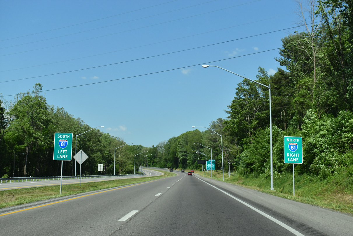
I-81 joins I-381 with Knoxville, Tennessee and the Northeastern United States one half mile ahead.
05/26/21
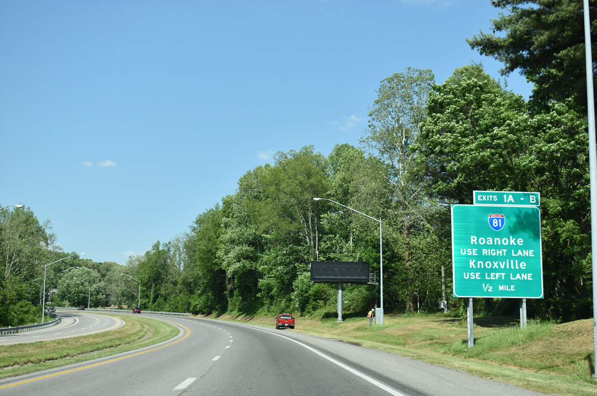
Lanes separate ahead for I-81 south to Kingsport and north to Roanoke.
05/26/21
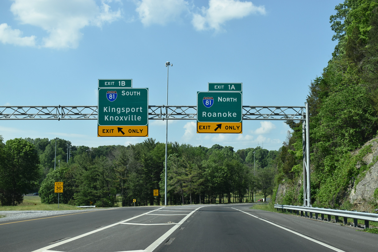
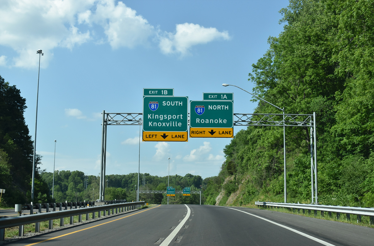
I-381 concludes as ramps separate for I-81/U.S. 58 north to Wytheville and Roanoke and south to Tennessee. Kingsport lies at the northern end of I-26 while Downtown Roanoke is located at the south end of I-581.
05/26/21
Exit 1B to Interstate 81 south uses the second level of the exchange.
05/31/07
References:
- "Bristol Bypass Opens Monday." The Progress-Index (Petersburg, VA), November 19, 1961.
Photo Credits:
- Brent Ivy: 05/26/21
- Alex Nitzman, Justin Cozart: 08/24/03
- Andy Field, Carter Buchanan: 05/31/07
Connect with:
Page Updated Friday June 18, 2021.