
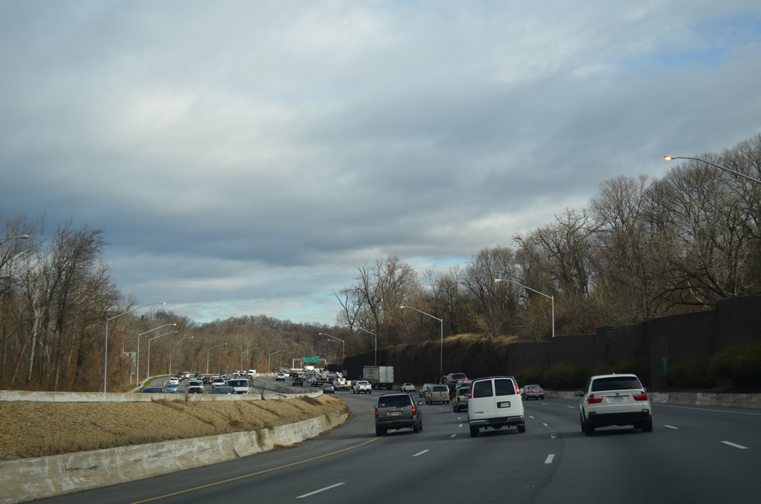
Interstate 495 - Capital Beltway

Interstate 495 follows the course of Rock Creek between the east end of I-270 and Forest Glen. 1960s maps, such as the 1965 Rand McNally road atlas, showed a proposal to straighten out I-495 along this stretch. - 12/21/2012
The Maryland portion of the Capital Beltway opened to traffic on April 2, 1964 at a cost of $96.4 million. All 41 miles were built with at least six lanes of capacity.1
A $2.4-billion project replaced the 1960s Woodrow Wilson Bridge across the Potomac River with two new spans. With work starting on October 20, 2000, the first span opened to traffic in 2006 and the second in 2008. Interstate 495 was expanded to ten overall lanes across the river with future accommodations for HOV lanes.1 Associated work also rebuilt interchanges at Interstate 295 (Exit 2) and MD 210 (Exit 3).
Interstate 495 Capital Beltway Guides
Inner
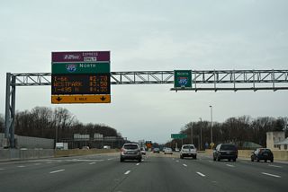
North - Virginia - 67 photos
East - Maryland - 53 photos
I-95/495 South - Maryland - 95 photos
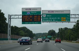
I-95/495 West - Virginia - 39 photos
Outer
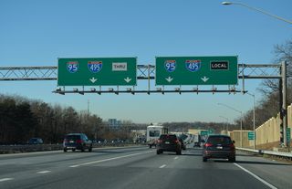
I-95/495 East - Virginia - 32 photos
I-95/495 North - Maryland - 79 photos
West - Maryland - 54 photos
South - Virginia - 70 photos
References:
- Capital Beltway (I-495 and I-95), DCRoads.net.
Connect with:
Page Updated Tuesday February 07, 2023.