
Interstate 670
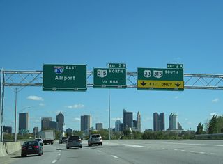
Interstate 670 is an urban loop from Columbus near Valleyview to John Glenn Columbus International Airport (CMH) and the city of Gahanna. 10.86 miles in length, I-670 runs along the north side of Franklinton and the Arena District at Downtown Columbus. The route partitions into separate roadways around Fort Hayes and through separate exchanges with Interstate 71.
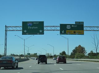
East of I-71, I-670 passes the Mount Vernon and Woodland Park neighborhoods adjacent to a Columbus & Ohio River Company Railroad line. Overlapping with U.S. 62, I-670 turns northeast to CMH Airport and Interstate 270. U.S. 62 extends east from the freeway end into Gahanna along Granville Street.
Interstate 670 Ohio Guides
1970s map showing the initial section of Interstate 670 extending east from I-70 and I-71 along the section north of Downtown Columbus.
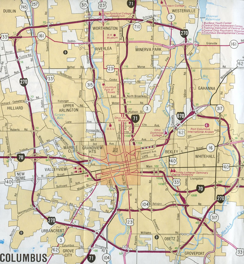
Interstate 670 was mostly complete as of the 1992 Ohio Official Highway Map
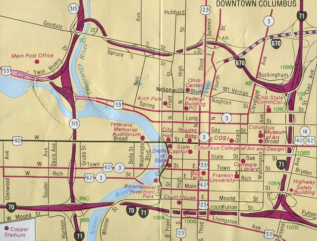
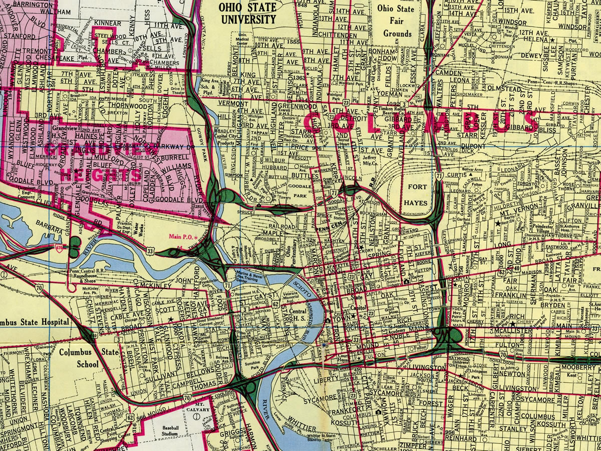
Interstate 670 under construction in the Downtown Columbus inset of the 1992 Ohio Official Highway Map
Connect with:
Page Updated Tuesday July 09, 2024.