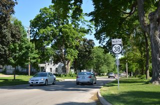
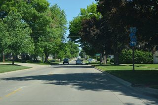
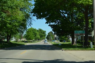
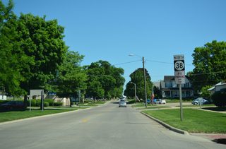
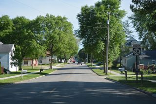
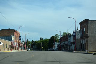
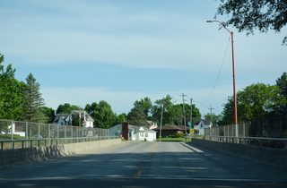
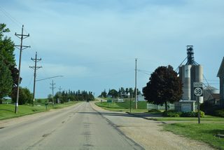
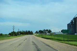
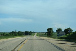
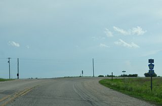
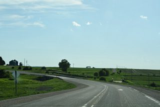
Iowa 38 is a north to south route connecting Muscatine, Wilton, Tipton, Monticello and Delaware. Measuring 99 miles in length, the state highway originates at the Norbert F. Beckey Bridge (Iowa 92) joining Downtown Muscatine with Rock Island County, Illinois. The north end lies three miles beyond Greeley at Iowa 3 in rural Delaware County.
| U.S. 61 Business and Iowa 38/92 combine for two miles from the Beckey Bridge to the U.S. 61 bypass. 03/25/16 |
| 2nd Street carries the three routes northeast from the Beckey Bridge approach to Park Avenue at this intersection. 03/25/16 |
| Confirming markers for U.S. 61 Business/Iowa 38-92 posted between E 4th Street and Holly Street. 03/25/16 |
| Continuing north, Park Avenue intersects E 5th Street at a set of truss-arm supported traffic lights. 03/25/16 |
| The succeeding traffic light along Park Avenue north connects U.S. 61 Business/Iowa 38-92 with Iowa 22 at Washington Street. 03/25/16 |
| Iowa 22 follows Washington Street east from Park Avenue to Weed Park. The state route continues the Great River Road from Muscatine to Montpelier, Buffalo and the Quad Cities. 03/25/16 |
| With Iowa 22 west added, Park Avenue advances north toward Muscatine Community College and Muscatine Mall. 03/25/16 |
| Clay Street east and Colorado Street west come together at this traffic light on Park Avenue by Muscatine Community College. 03/25/16 |
| Lake Park Boulevard east ties into U.S. 61 Business/Iowa 22-38-92 (Park Avenue) across from a signalized entrance to Muscatine Mall. 03/25/16 |
| Ford Avenue connects U.S. 61 Business/Iowa 22-38-92 (Park Avenue) with adjacent businesses and a mobile home park. 03/25/16 |
| Iowa 38 parts ways with Iowa 22/92 west at the forthcoming intersection with U.S. 61. U.S. 61 constitutes a commercial arterial within the vicinity of Park Avenue, and a controlled access expressway across the north side of Muscatine to the west. 03/25/16 |
| Formally marking the conclusion of the 5.7 mile route, an end shield for U.S. 61 Business precedes the signalized intersection with Cleveland Street on Park Avenue north. 03/25/16 |
| Iowa 22, and Iowa 92 as of 2014, combine with U.S. 61 south to bypass the remainder of Muscatine. Iowa 38 remains northward 7.9 miles to U.S. 6 outside the city of Wilton. 03/25/16 |
| U.S. 61 ventures east from Muscatine to Blue Grass and Davenport and southwest to Grandview, Wapello and Burlington. 03/25/16 |
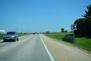
| Confirming marker posted north of 7th Street and the west end of Iowa 130 in the city of Tipton. 05/26/18 |
| Cedar County Road F28 travels west from Iowa 38 (Cedar Street) along 9th Street in Tipton. 05/26/18 |
| CR F28 runs ten miles west along 210th Street to the settlement of Cedar Bluff. The Cedar County Fairgrounds and Raceway lie just outside the city of Tipton along CR F28 as well. 05/26/18 |
| Iowa 38 continues 0.6 mile to the north Tipton city line from CR F28 (9th Street). 05/26/18 |
| Leaving Tipton, Iowa 38 passes by big box retail ahead of open farm land. 05/26/18 |
| The city of Stanwood along U.S. 30 is nine miles north of Tipton via Iowa 38. 05/26/18 |
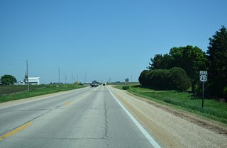
| Confirming marker posted after 175th Street (CR F16) on Iowa 38 north in Red Oak township. 05/26/18 |
| Continuing north, Iowa 38 runs along the Fremont and Dayton township line to U.S. 30 outside the city of Stanwood. 05/26/18 |
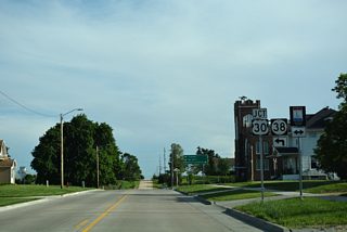
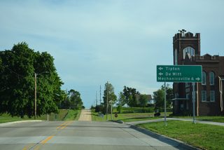
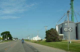
| U.S. 30 doubles as the Lincoln Highway Heritage Highway across northern Cedar County. Iowa 38 combines with the US route one mile west to Ash Street in Stanwood. 05/26/18 |
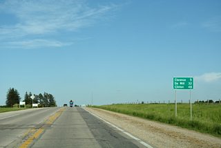
| U.S. 30 travels six miles westnorthwest from Stanwood to Mechanicsville en route to Mount Vernon and Cedar Rapids. De Witt, where U.S. 30 combines with U.S. 61, is 32 miles to the east. 05/26/18 |
| Iowa 38 meets U.S. 30 (Lincoln Highway) at a stop sign across from Monroe Avenue. 05/26/18 |
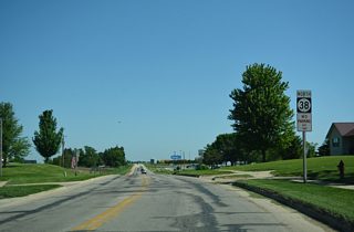
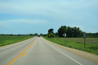
| Iowa 38 heads south from Iowa 64 in a rural area of eastern Jackson township. 05/26/18 |
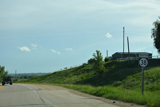
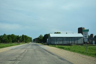
| Reassurance marker posted south of 80th Street in Jackson township. 05/26/18 |
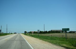
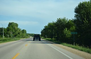
| Unsigned here, Jones County Road E45 branches east from Iowa 38, 4.1 miles to the settlement of Hale. 05/26/18 |
| Navigating southwest through an S-curve, Iowa 38 spans the Wapsipinicon River. 05/26/18 |
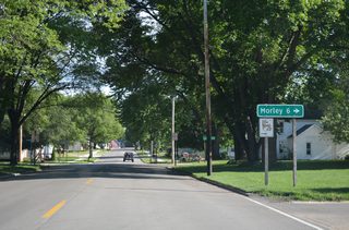
| The western leg of CR E45 ties into Iowa 38 (Jackson Street) along Cleveland Street in the city of Olin. 05/26/18 |
| CR E46 travels 5.6 miles west from Olin to the small city of Morley. 05/26/18 |
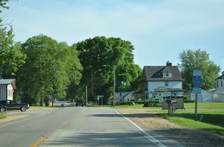
| Iowa 38 proceeds south along Jackson Street to the Olin business district. 05/26/18 |
| Downtown Olin at 2nd and Jackson Streets. 05/26/18 |
| Crossing Walnut Creek, Iowa 38 kinks eastward ahead of Maple Street in Olin. 05/26/18 |
| Iowa 38 follows Walnut Street south out of Olin. 05/26/18 |
| Tipton is a 16 mile drive south from Olin. Iowa 38 concludes at Muscatine in 45 miles. 05/26/18 |
| Lowering from 32nd Street, Iowa 38 heads south across Sibles Creek. 05/26/18 |
| Iowa 38 dog legs a half mile west between segments of CR E53. 05/26/18 |
| Curving south across Sibles Creek, Iowa 38 meets the western segment of CR E53 along 25th Street. 05/26/18 |
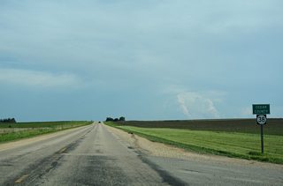
| Iowa 38 enters Cedar County at the intersection with Cedar Jones County Line Road. 05/26/18 |
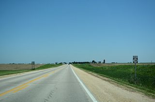
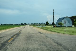
| Iowa 38 shield posted at 120th Street in Fremont township. 05/26/18 |
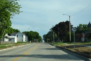
| Iowa 38 transitions to Ash Street through the city of Stanwood. 05/26/18 |
| Broadway Street heads one block east from Iowa 38 (Ash Street) to the Stanwood city center. 05/26/18 |
| Iowa 38 proceeds south from a grade crossing with the Union Pacific Railroad in Stanwood two blocks to U.S. 30 (Lincoln Highway). 05/26/18 |
| Iowa 38 overlaps with U.S. 30 one mile east before resuming southward to Tipton. U.S. 30 enters Stanwood from Mechanicsville, six miles to the west. 05/26/18 |
| U.S. 30 (Lincoln Highway) joins Cedar Rapids with De Witt and Clinton, 15 or so miles north of the parallel Interstate 80 corridor. 05/26/18 |
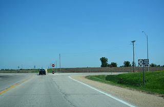
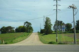
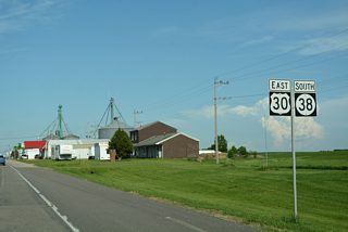
| The first of two sets of confirming markers for U.S. 30 east and Iowa 38 south stands just beyond Ash Street and Lemon Avenue. 05/26/18 |
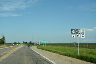
| U.S. 30 and Iowa 38 proceed east through south Stanwood to Maple Street and these markers. 05/26/18 |
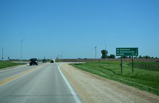
| Distance sign posted for the continuation of U.S. 30 east beyond Stanwood. 05/26/18 |
| Iowa 38 partitions with U.S. 30 east for a 17 mile drive south to Interstate 80. 05/26/18 |
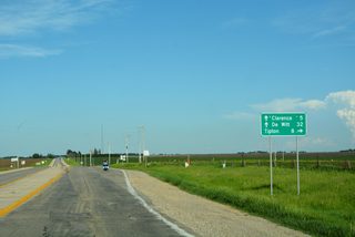
| Clarence lies 3.5 miles east along U.S. 30 while Tipton is 7.2 miles to the south via Iowa 38. 05/26/18 |
| U.S. 61 Business/Iowa 22-38-92 (Park Avenue) south at Madison Street in Muscatine. The four routes overlap 1.3 miles south from U.S. 61 to Washington Street. 03/25/16 |
| One block ahead of the eastbound split of Iowa 22 from U.S. 61 Business/Iowa 38-92 (Park Avenue) south. 03/25/16 |
| Iowa 22 resumes an eastward course along Washington Street, continuing from Muscatine along the Mississippi River to Fairport, Montpeliere and Buffalo in Scott County. 03/25/16 |
| U.S. 61 Business/Iowa 38-92 remain south on Park Avenue to E 2nd Street. Iowa 22 ends 23 miles to the east at Davenport while Iowa 38 ends in 0.75 miles at the Beckey Bridge approach taking MSR 92 into Illinois. 03/25/16 |
| Truss arm traffic lights operate at a residential area of Park Avenue south at E 5th Street. 03/25/16 |
| U.S. 61 Business/Iowa 38-92 angle southwest from Park Avenue along E 2nd Street toward the Beckey Bridge and Downtown Muscatine. 03/25/16 |
| The last southbound Iowa 38 reassurance marker appears on this assembly between Park Avenue and Parmalee Street. 03/25/16 |
| Iowa 38 ends as Iowa 92 branches away from U.S. 61 Business (E 2nd Street) onto the Norbert F. Beckey Bridge approach. 03/25/16 |
| U.S. 61 Business continues along E 2nd Street across Mad Creek to Mulberry Avenue and Downtown Muscatine. Iowa 92 spans the Mississippi River east en route to Illinois City and Andalusia, Illinois. 03/25/16 |
Page Updated 12-18-2019.