
Route 1

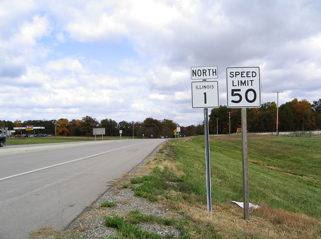
Traveling 309 miles overall, Illinois Route 1 generally stays close to the Indiana state line from Cave in Rock on the Ohio River to Chicago. Outside of Danville, the south Chicago suburbs and the north end at Interstate 57 in Chicago, the state route is generally rural. A free ferry connects the south end with Kentucky Route 91 in Crittenden County.
A portion of Route 1 overlays former U.S. 54 from before the US highway was retracted to I-72/U.S. 36 near Pittsfield in west central Illinois. Route 1 previously ended a few blocks north of Interstate 57 at U.S. 12/20 (95th Street) within the Longwood Manor neighborhood of Chicago.
 North
North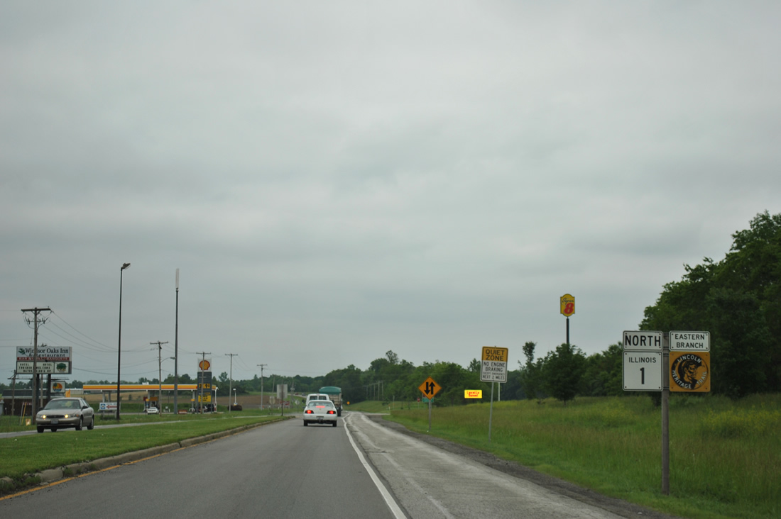
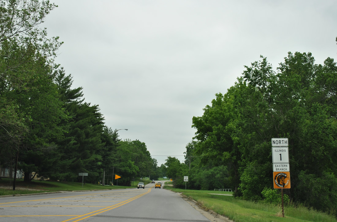
Leaving the folded diamond interchange with Interstate 64 on the south side of Grayville along IL 1 (Court Street) northbound. IL 1 doubles as the Eastern Branch of the Lincoln Heritage Trail between Gordon and Marshall.
05/27/11
A flasher accompanies a four way stop between IL 1 (Court Street) and North Street (County Route 20 west) in Downtown Grayville. CR 20 straddles the White County line to Burnt Prairie and Mill Shoals.
05/27/11
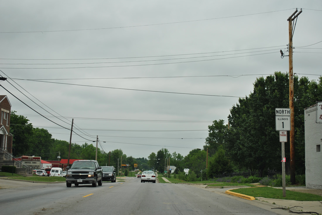
Continuing north along Court Street from 20th Street on IL 1 in Grayville.
05/27/11
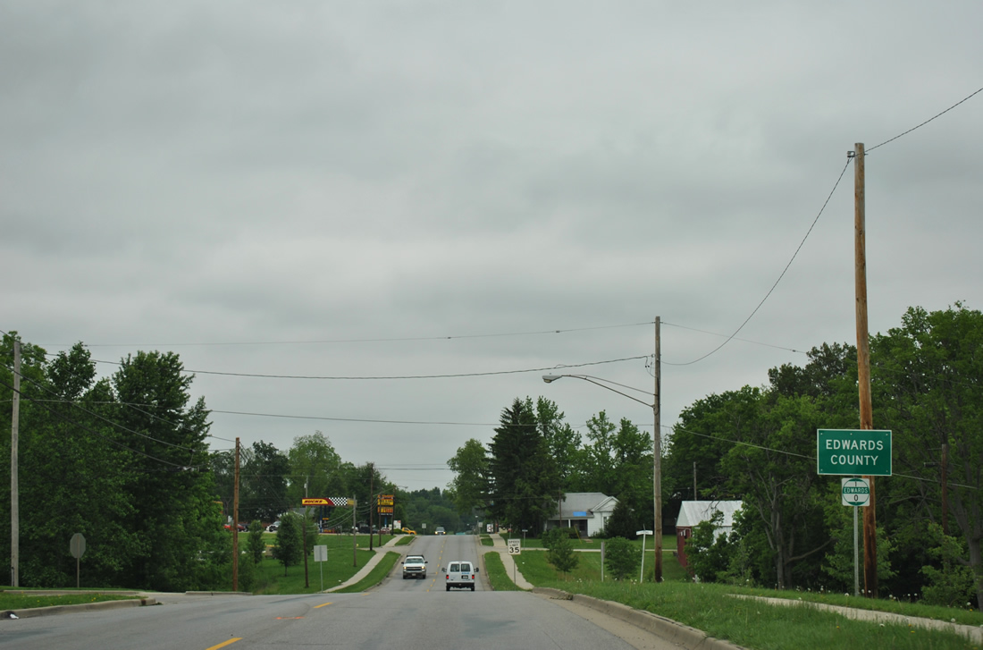
Half of Grayville falls within Edwards County. IL 1 crosses the adjacent county midway between Mill and Spring Streets.
05/27/11
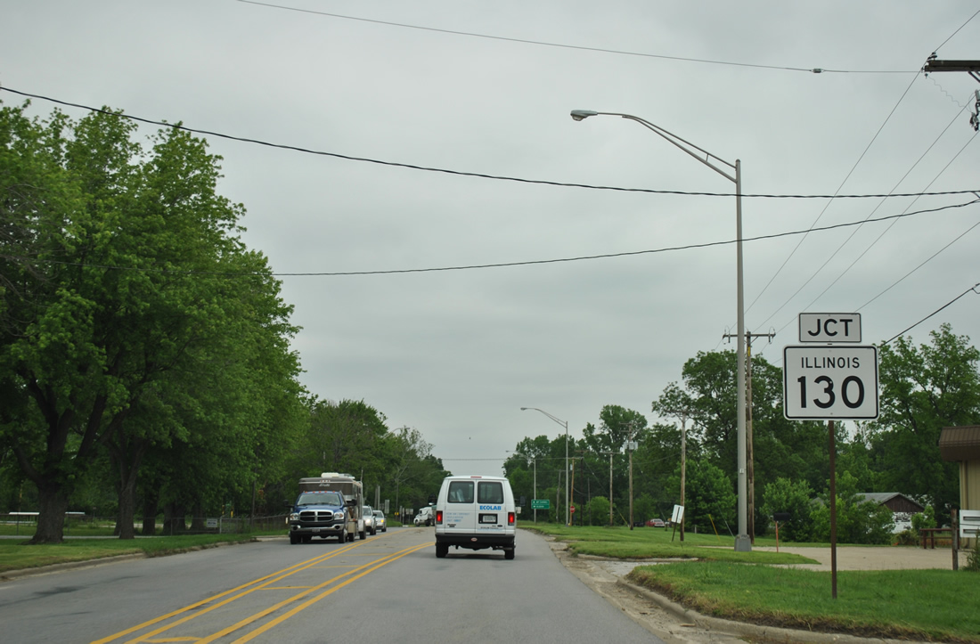
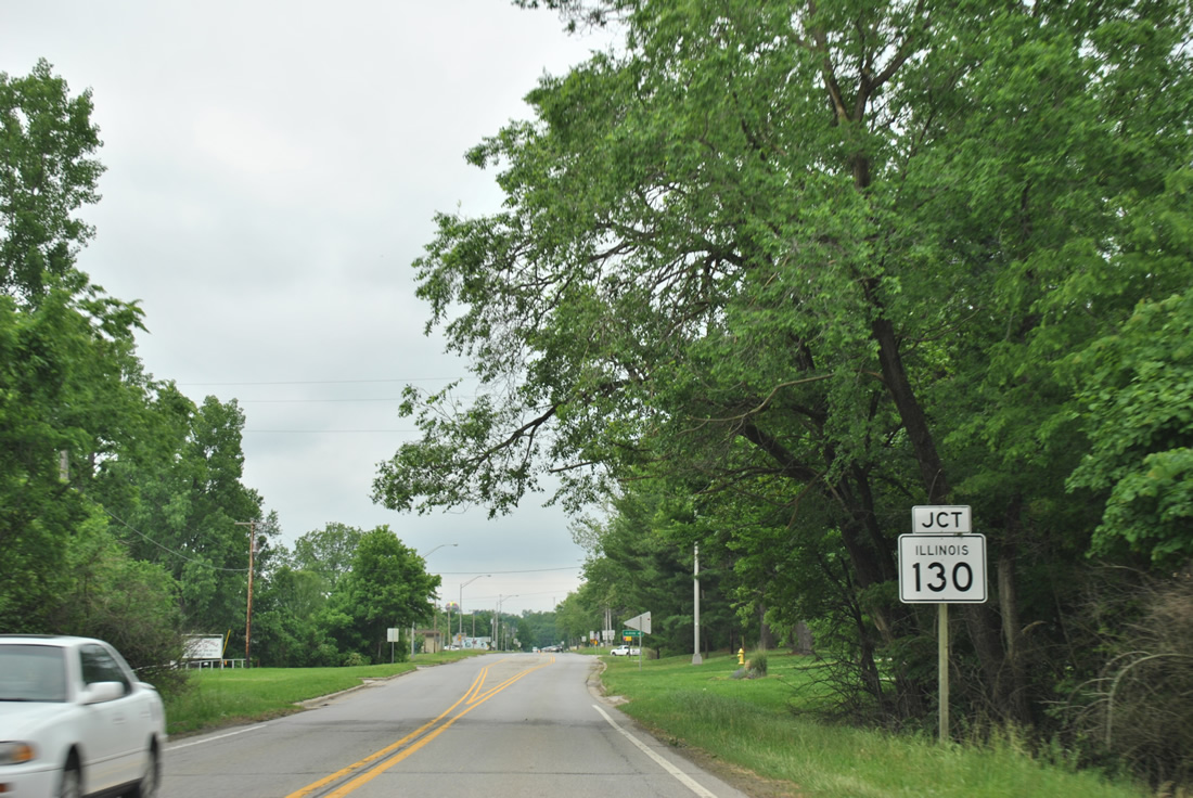
IL 1 (Court Street) angles northeasterly to meet the south end of IL 130 (Hagedorn Road).
05/27/11
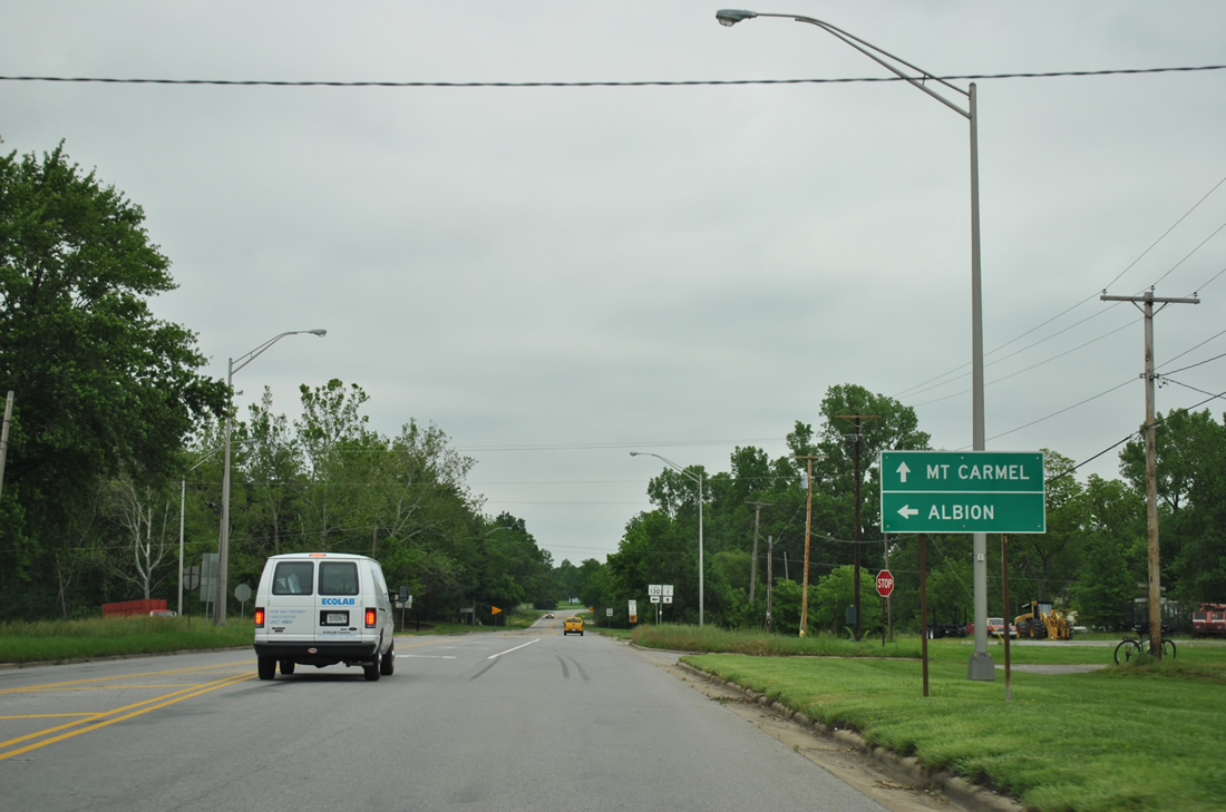
IL 130 connects Grayville with the Edwards County seat of Albion, eight miles to the north. IL 1 continues paralleling the Wabash River to Mt. Carmel.
05/27/11
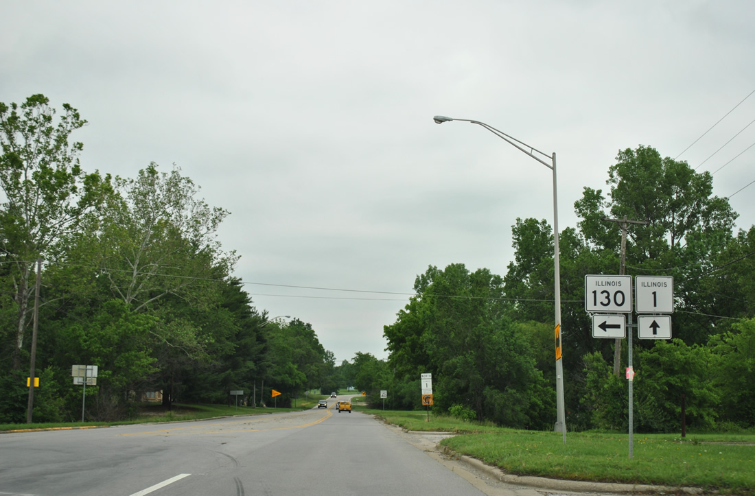
Leading due north for much of its course, IL 130 travels 136 miles from Grayville to Olney, Newton, Greenup, Charleston and Urbana where it ends at Interstate 74.
05/27/11
IL 1 and a Lincoln Heritage Trail Eastern Branch shield assembly posted after IL 130 in north Grayville.
05/27/11
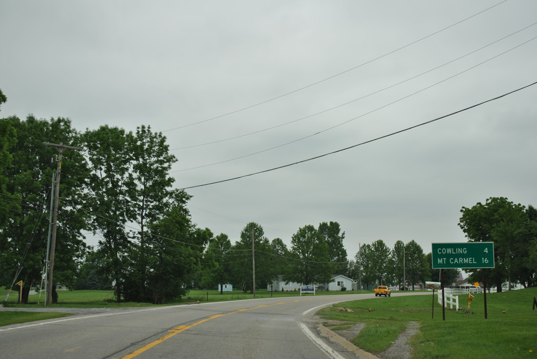
A distance sign follows, four miles southwest of Cowling and 16 miles from the Wabash County seat of Mt. Carmel.
05/27/11
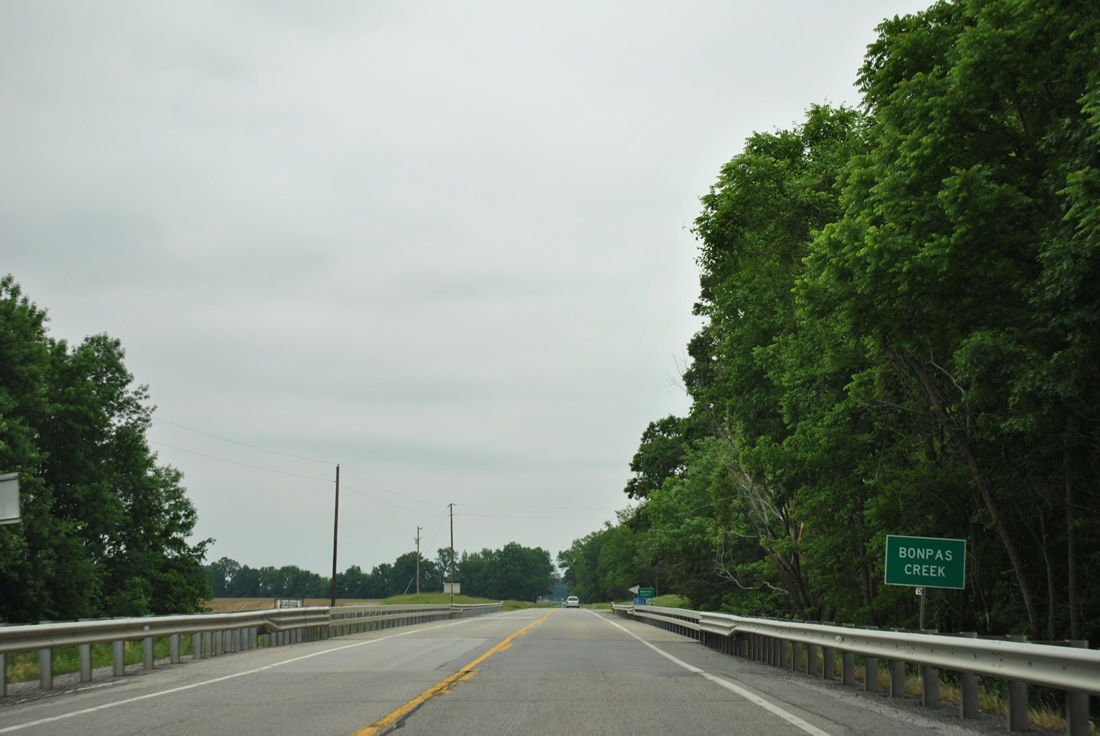
Bonpas Creek separates the shared border of Edwards and Wabash Counties from Grayville north to Richland County.
05/27/11
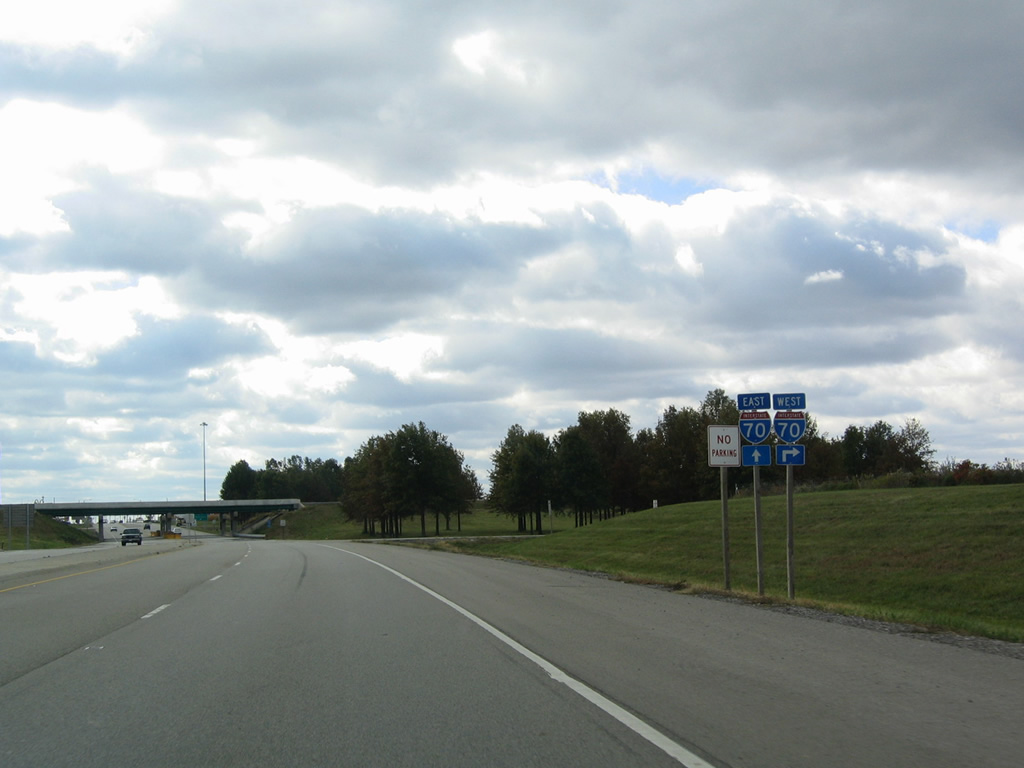
Northbound confirming shield for IL 1 posted beyond the diamond interchange with Interstate 70 near Marshall.
10/16/04
South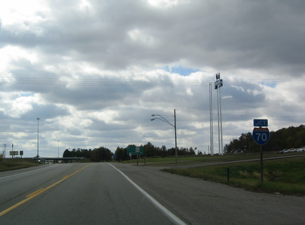
Advancing toward the diamond interchange joining IL 1 south with Interstate 70 outside Marshall in Clark County.
10/16/04
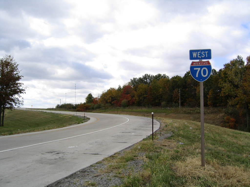
IL 1 widens to four lanes at I-70 as several traveler services line the south side of the exchange. Interstate 70 leads west to Effingham and east to Terre Haute, Indiana from Marshall.
10/16/04
The westbound entrance ramp for Interstate 70 to St. Louis from IL 1.
10/16/04
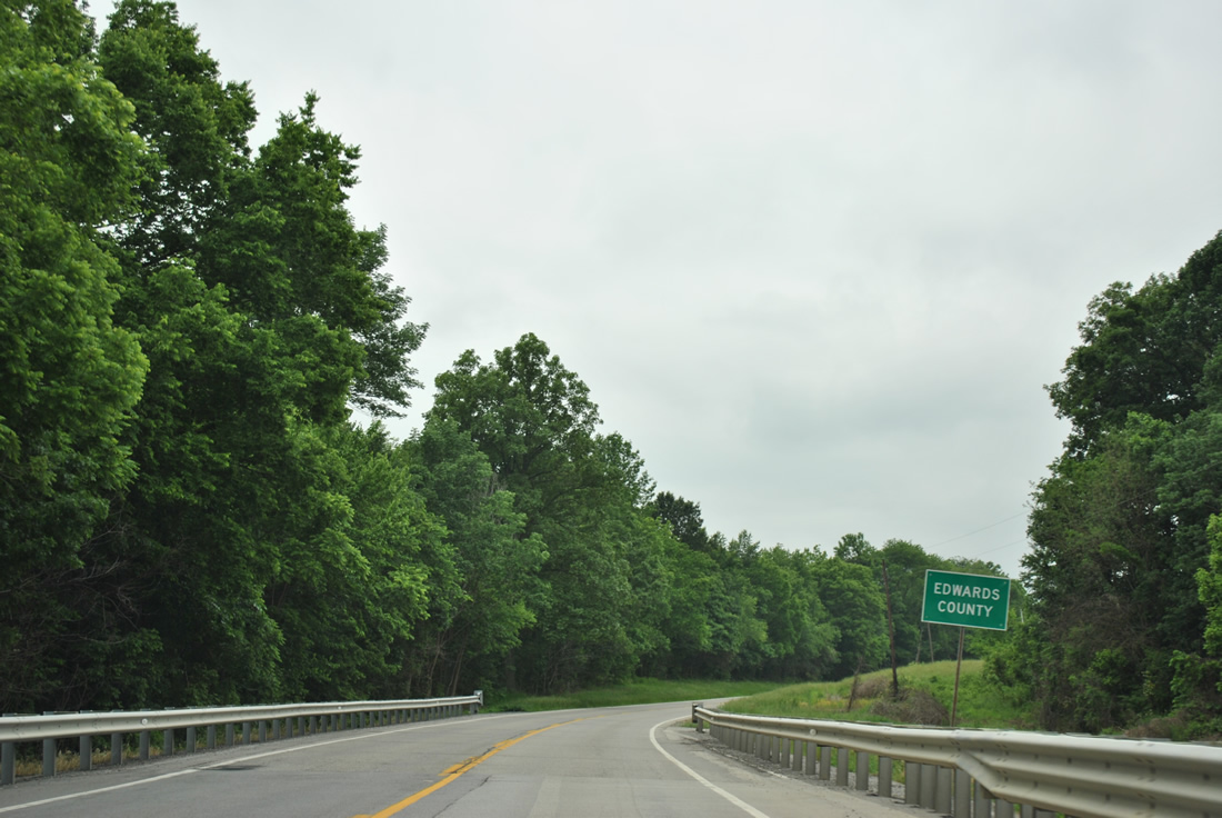
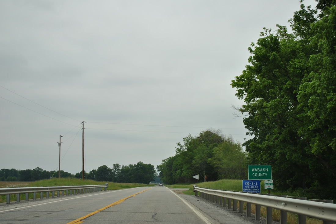
IL 1 south leaves Wabash County for Edwards County.
05/27/11
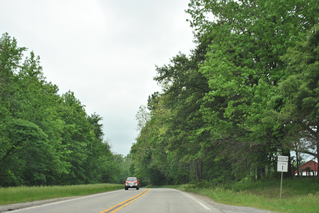
IL 1 shield posted after the Wabash County line. The state route remains rural leading into Grayville.
05/27/11
Entering Grayville, IL 1 follows Court Street to the south end of IL 130 (Hagedorn Road).
05/27/11
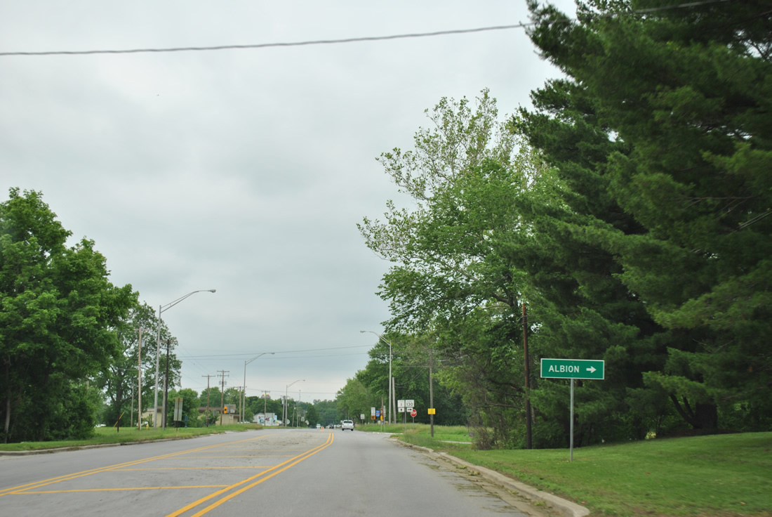
IL 130 heads eight miles northward from Grayville to the Edwards County seat of Albion.
05/27/11
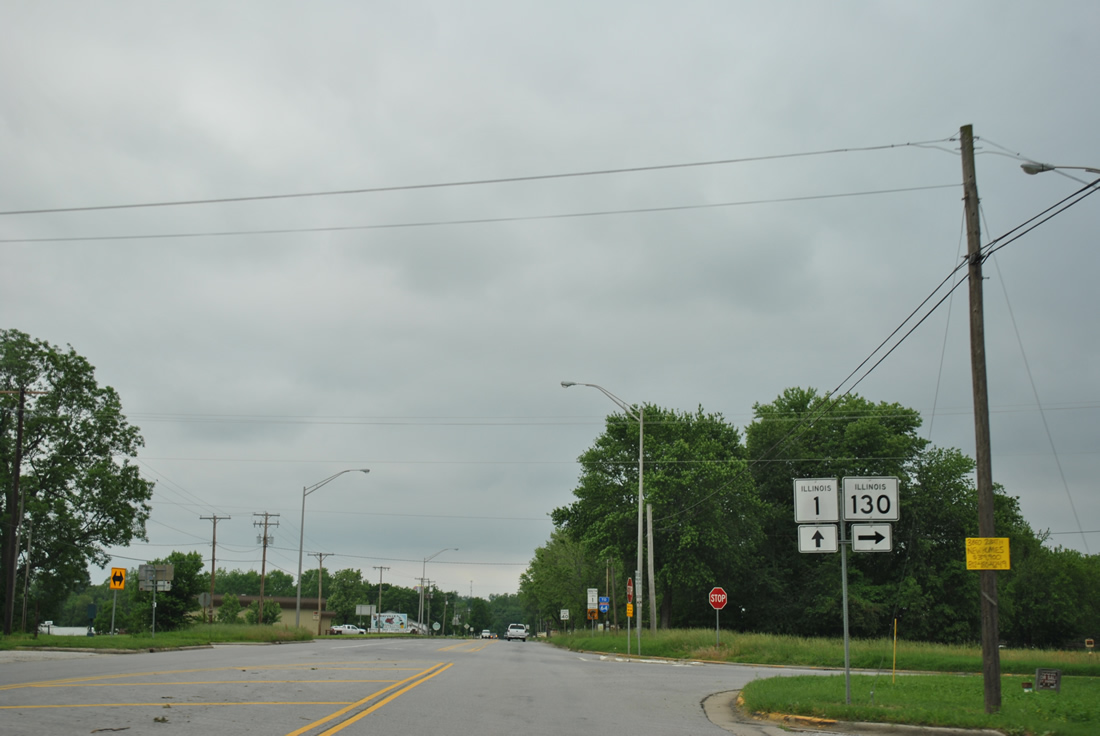
IL 1 (Court Street) south at IL 130 (Hagedorn Road) north. IL 130 runs 136 miles from Grayville to Urbana.
05/27/11
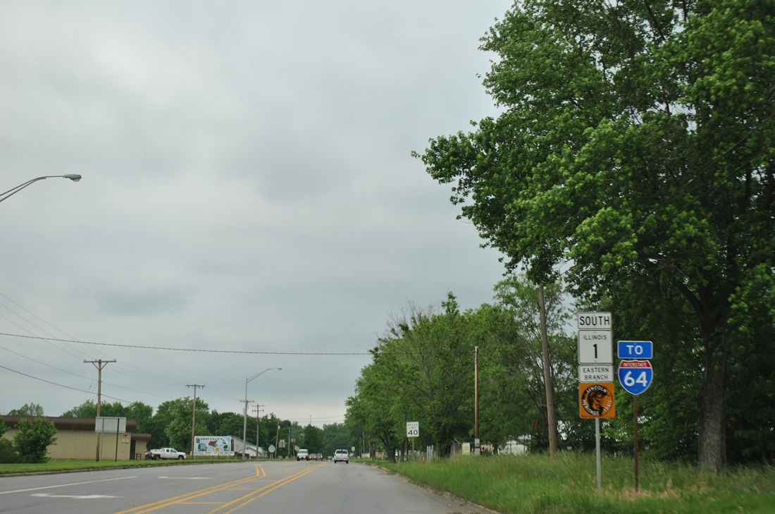
Continuing south from IL 130, IL 1 (Court Street) continues to Interstate 64.
05/27/11
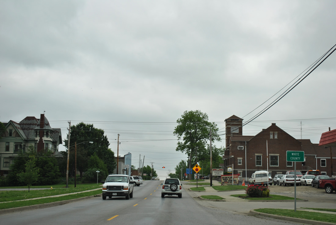
IL 1 enters White County at the Court Street intersection with South Street in Grayville.
05/27/11
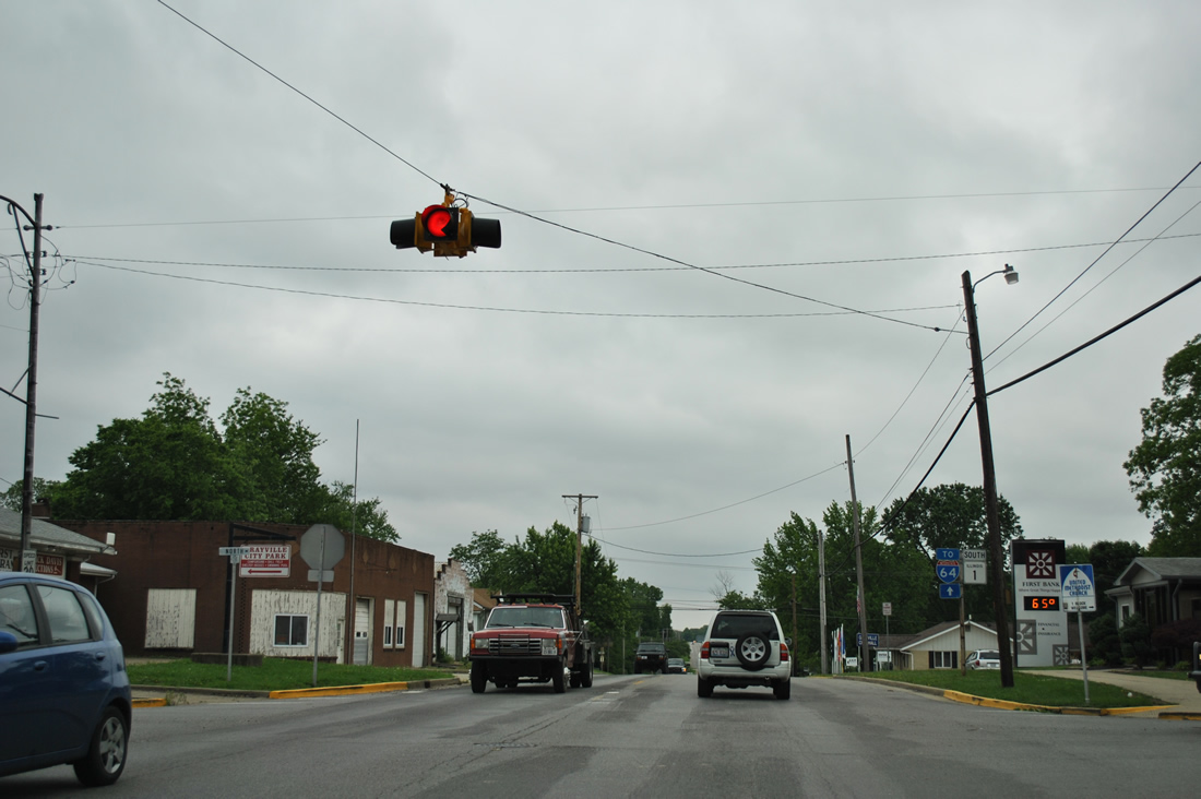
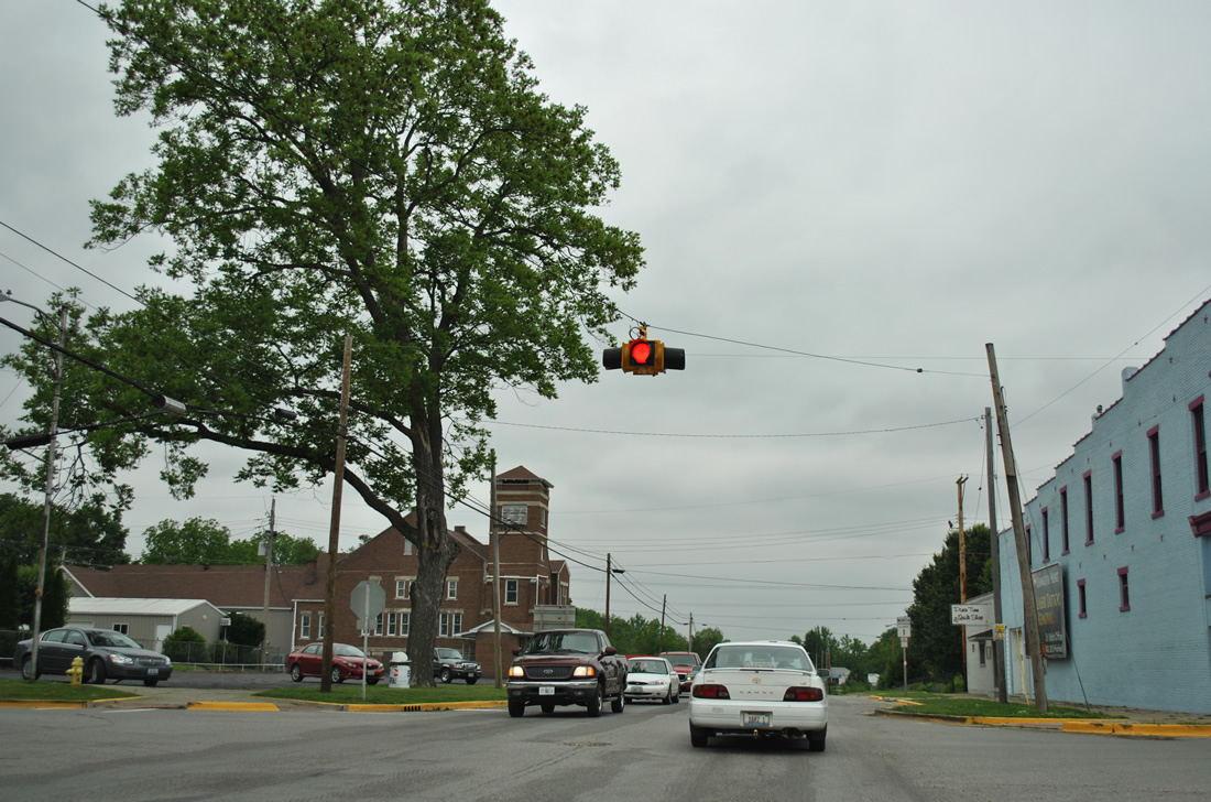
North Street and IL 1 meet at a four way stop in Downtown Grayville. North Street (County Road 20) leads west to the Edwards County line en route to Burnt Prairie.
05/27/11
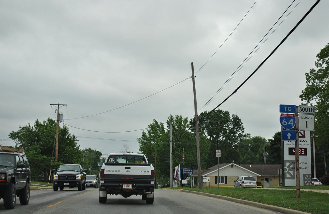
IL 1 passes by Grayville city hall by this set of shields.
05/27/11
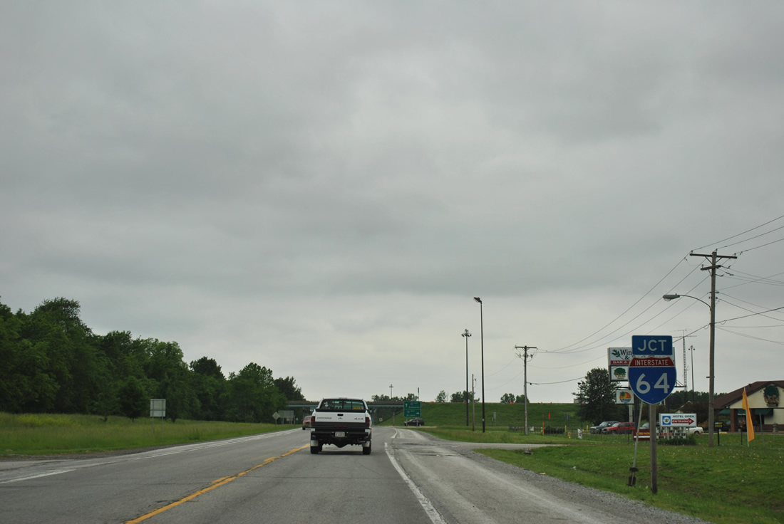
Still within the municipal boundaries of Grayville, IL 1 meets Interstate 64 at a diamond interchange (Exit 130).
05/27/11
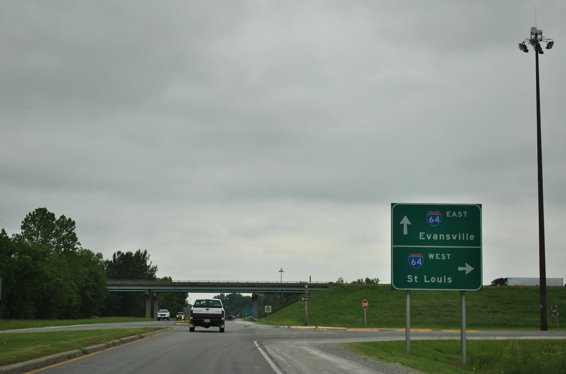
A grassy median separates one lane of traffic in each direction as IL 1 reaches the westbound on-ramp to Mt. Vernon and St. Louis.
05/27/11
Photo Credits:
- ABRoads: 05/27/11
- AARoads: 10/16/04
Connect with:


Page Updated Tuesday March 27, 2012.