
Interstate 70

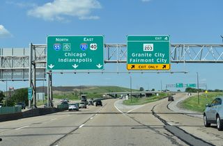
Interstate 70 angles 135 miles northeast from St. Louis, Missouri to Terre Haute, Indiana across southern Illinois. A major trucking corridor, I-70 parallels or overlays U.S. 40 from East St. Louis to Vandalia, Effingham and Marshall across farm and timber land. The western extent of Interstate 70 in the state was realigned onto the Stan Musial Veterans Memorial Bridge, a cabled stayed bridge crossing the Mississippi River which opened to traffic on February 9, 2014. The new span separated I-70 from a shared alignment with I-55 / 64 and U.S. 40 across the Poplar Street Bridge to Downtown St. Louis.
Interstate 70 Illinois Guides
East
West
 scenes
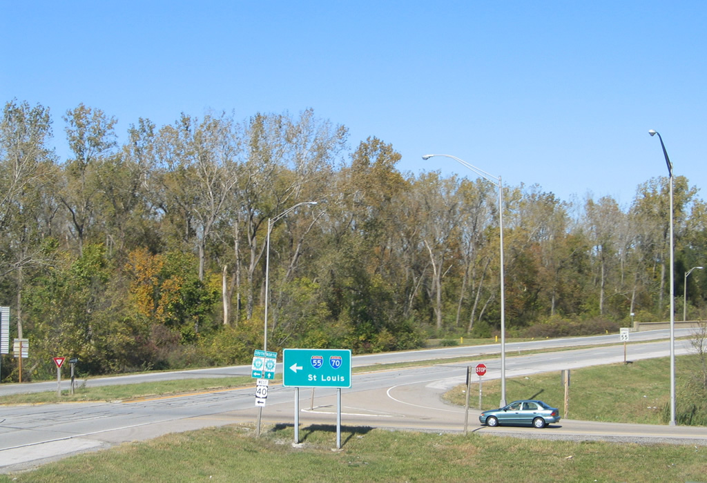
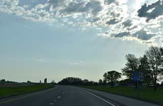
IL 111 follows a four lane divided highway northqard from Collinsville Road (former U.S. 40/66) to a diamond interchange with I-55-70/U.S. 40 near Canteen Lake.
10/16/04
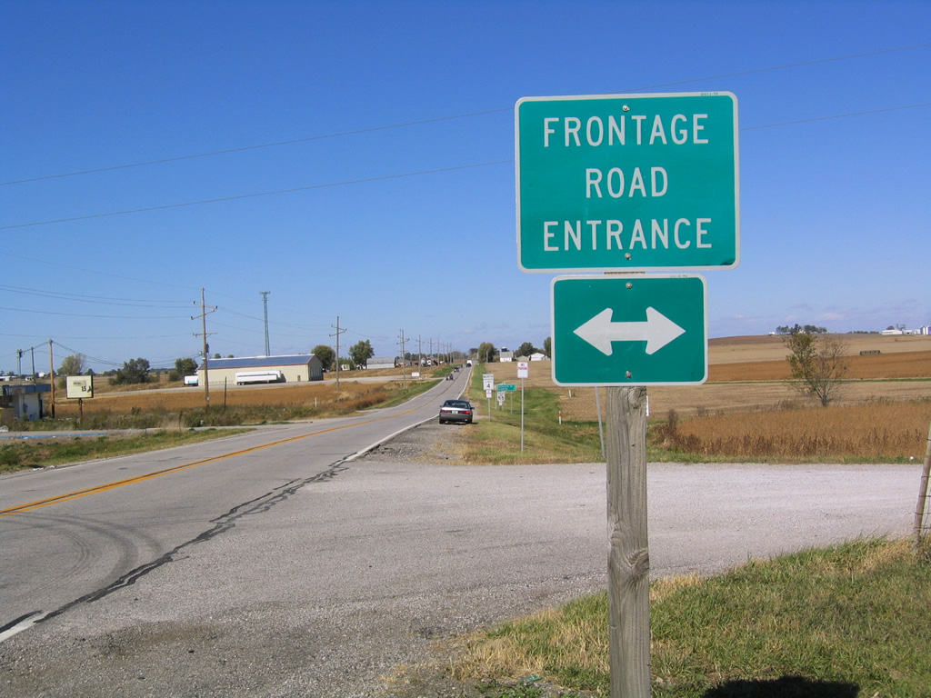
Grotefendt Road west and Blumberg Road east, frontage roads for Interstate 70, come together on the north side of the diamond interchange with IL 4.
10/16/04
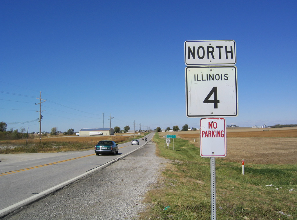
Reassurance marker posted for IL 4 north after Interstate 70. The state route advances two miles north to IL 134 west of Marine.
10/16/04
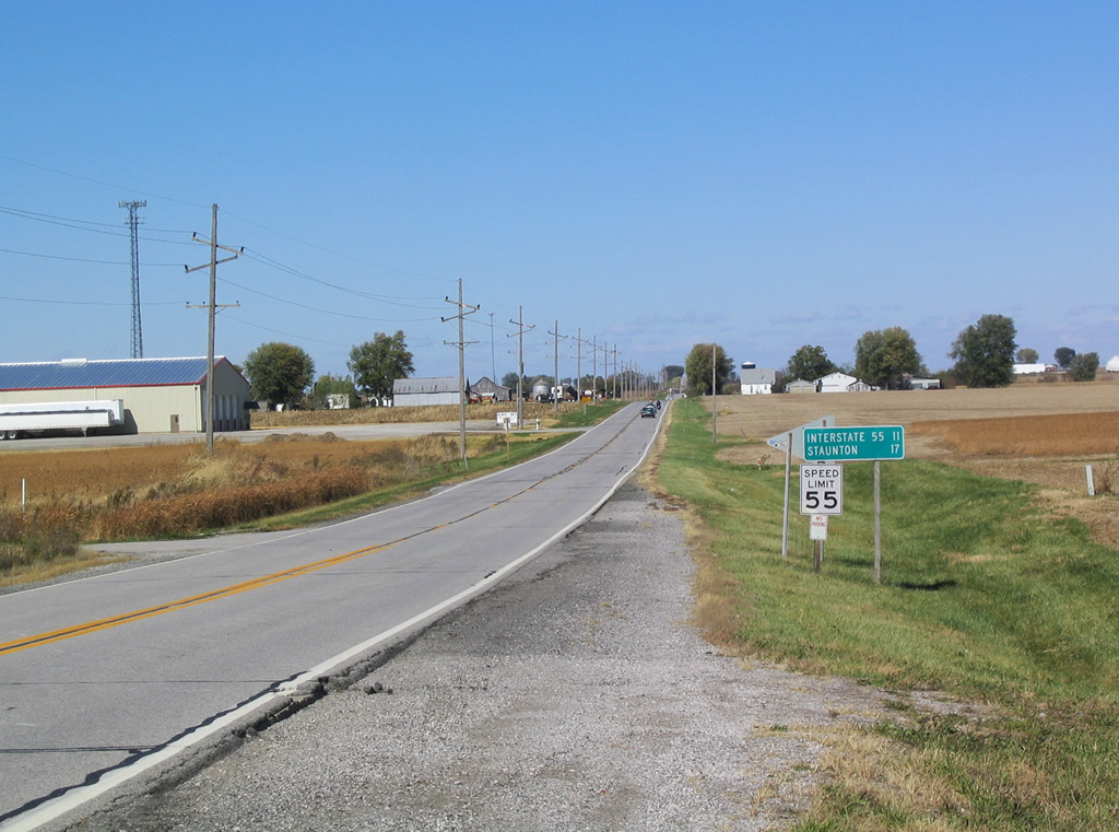
Interstate 55 and Staunton follow within the next 17 miles along IL 4 north.
10/16/04
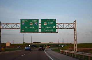
Just southwest of Marine is the diamond interchange linking IL 4 with Interstate 70. I-70 travels a rural route west to join I-55 by Troy and east to I-57 at Effingham.
10/16/04
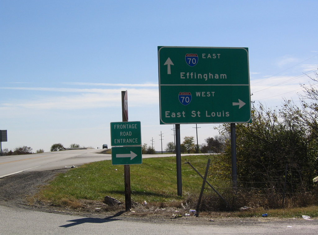
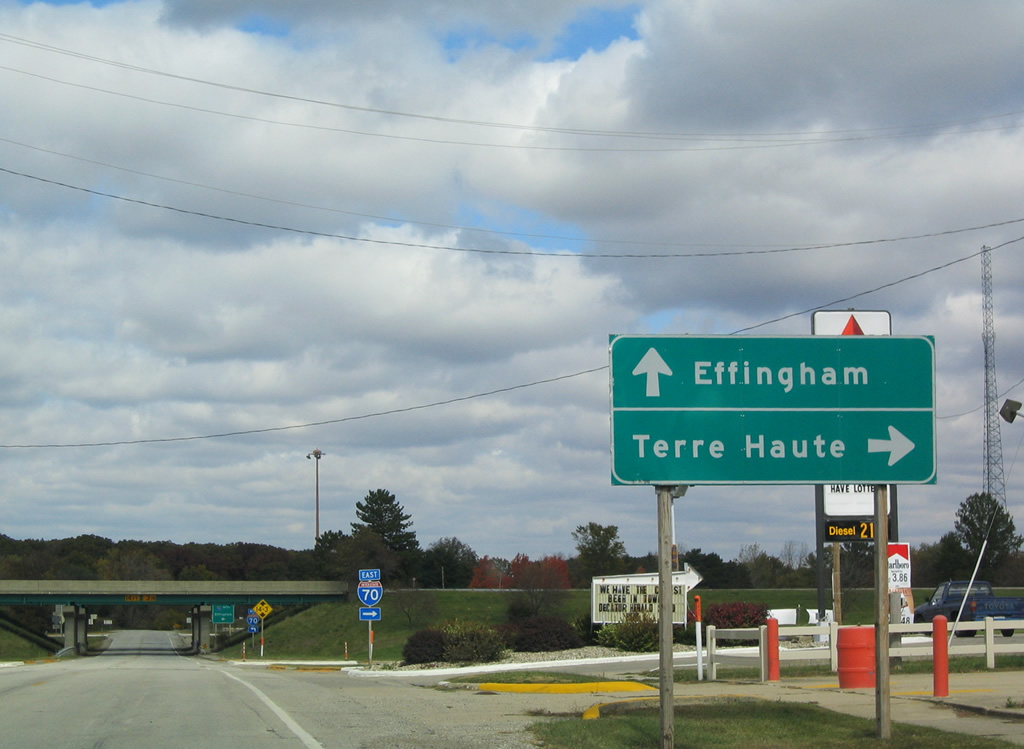
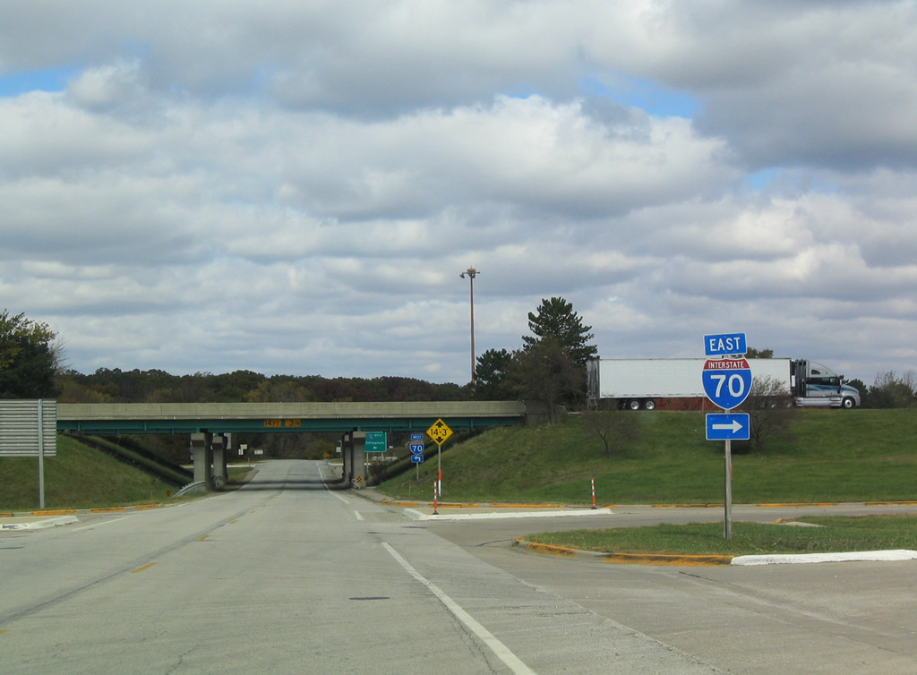
Passing under the Interstate 70 mainline, Spring Creek Road advances toward the eastbound on-ramp at Montrose.
10/16/04
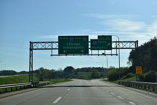
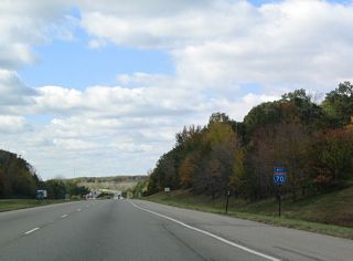
Interstate 70 continues east from Montrose and Spring Creek Road at Exit 105, 60 miles to Terre Haute.
10/16/04
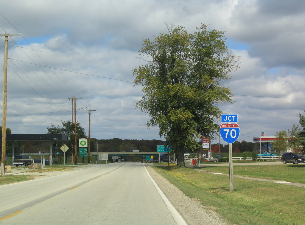
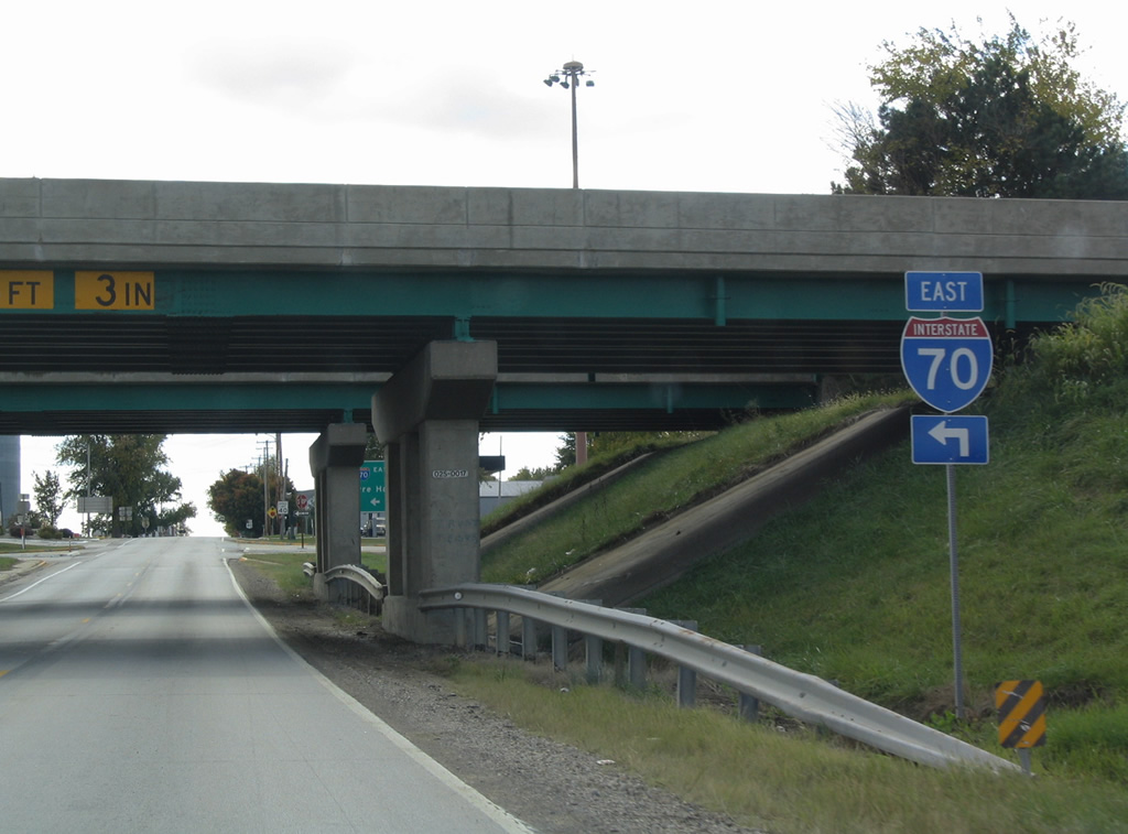
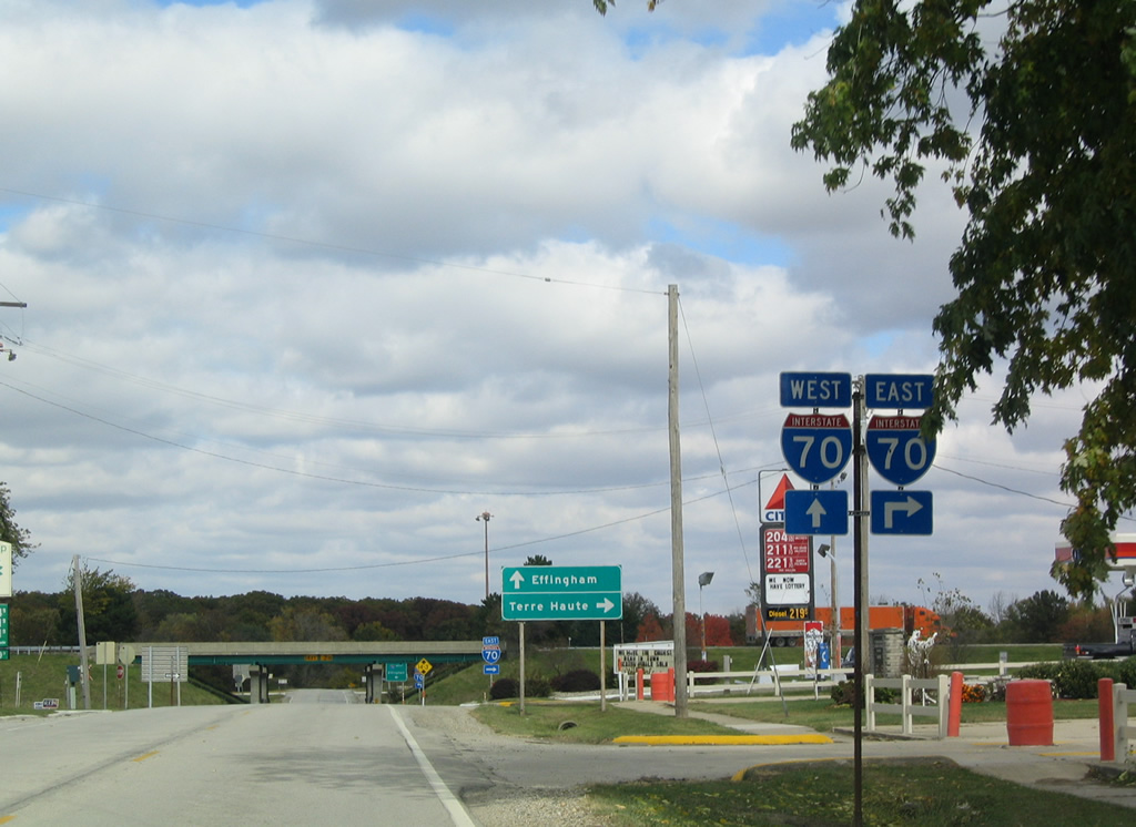
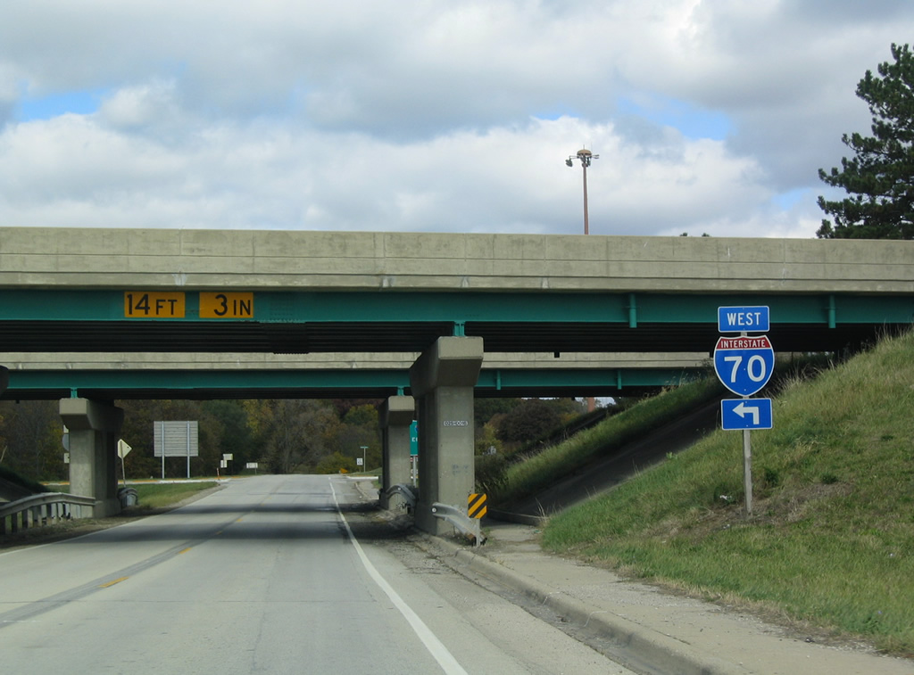
Northbound Spring Creek Road at the diamond interchange with Interstate 70 in Montrose. A pair of gas stations line the south side of the freeway in the village of 250.
10/16/04
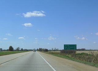
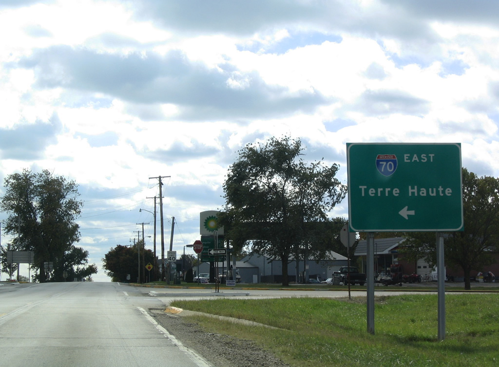
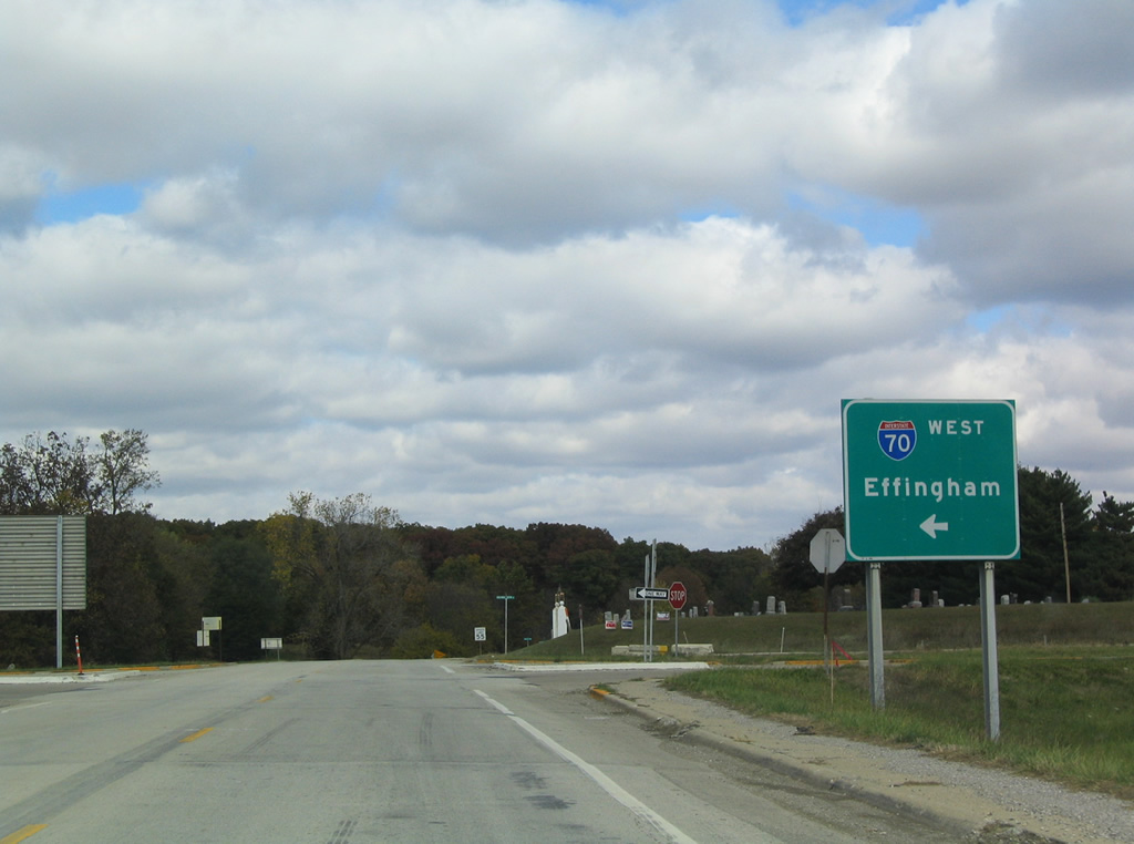
Effingham and Terre Haute are the control cities for Interstate 70 from Spring Creek Road. These take the place of Indianapolis and St. Louis, the usual destinations for I-70.
10/16/04
I-70 converges with Interstate 57 south eight miles west from Montrose.
10/16/04
North from the exchange with Interstate 70, Spring Creek Road continues from Effingham County into Cumberland County.
10/16/04
Photo Credits:
- AARoads: 10/16/04
Connect with:
Page Updated Wednesday January 03, 2024.