
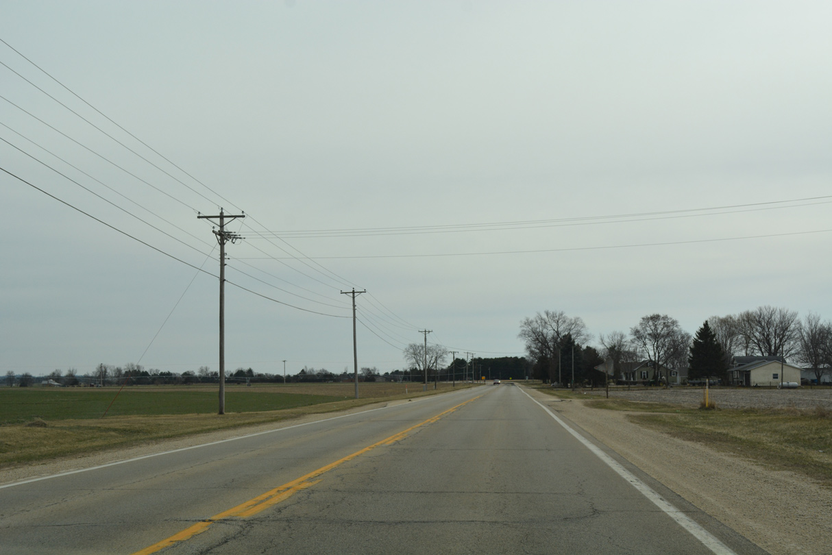
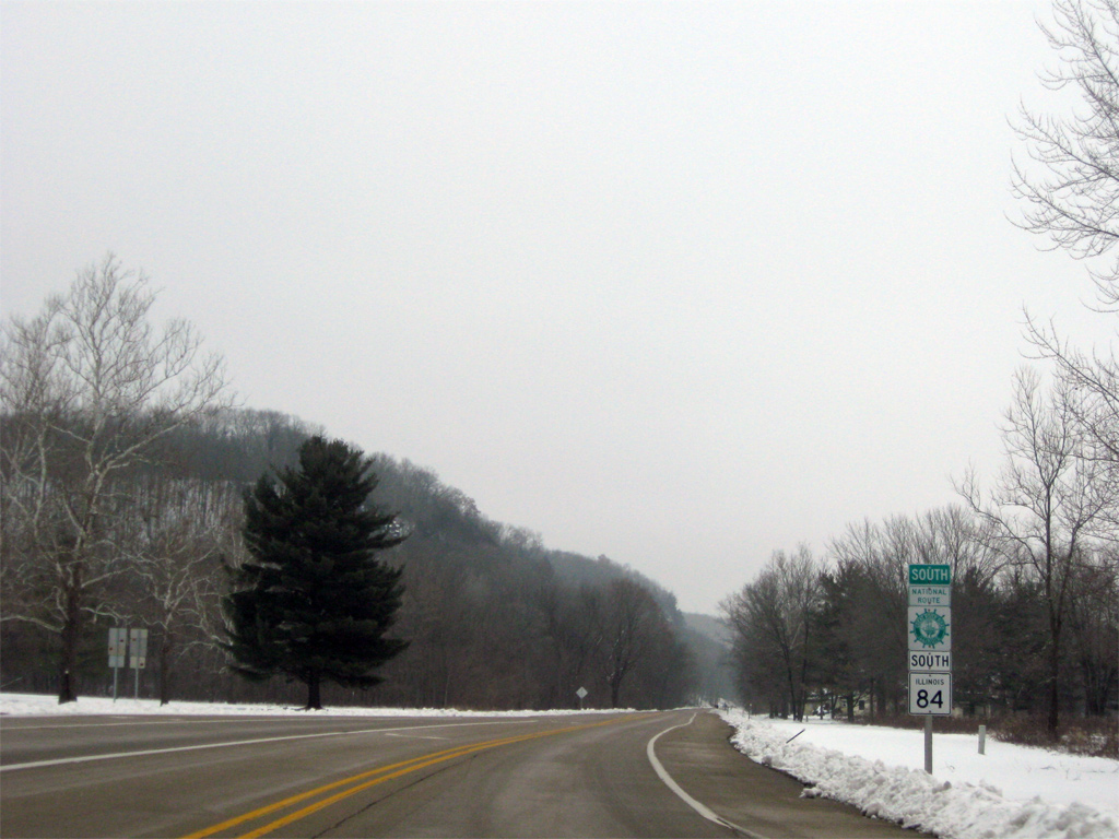
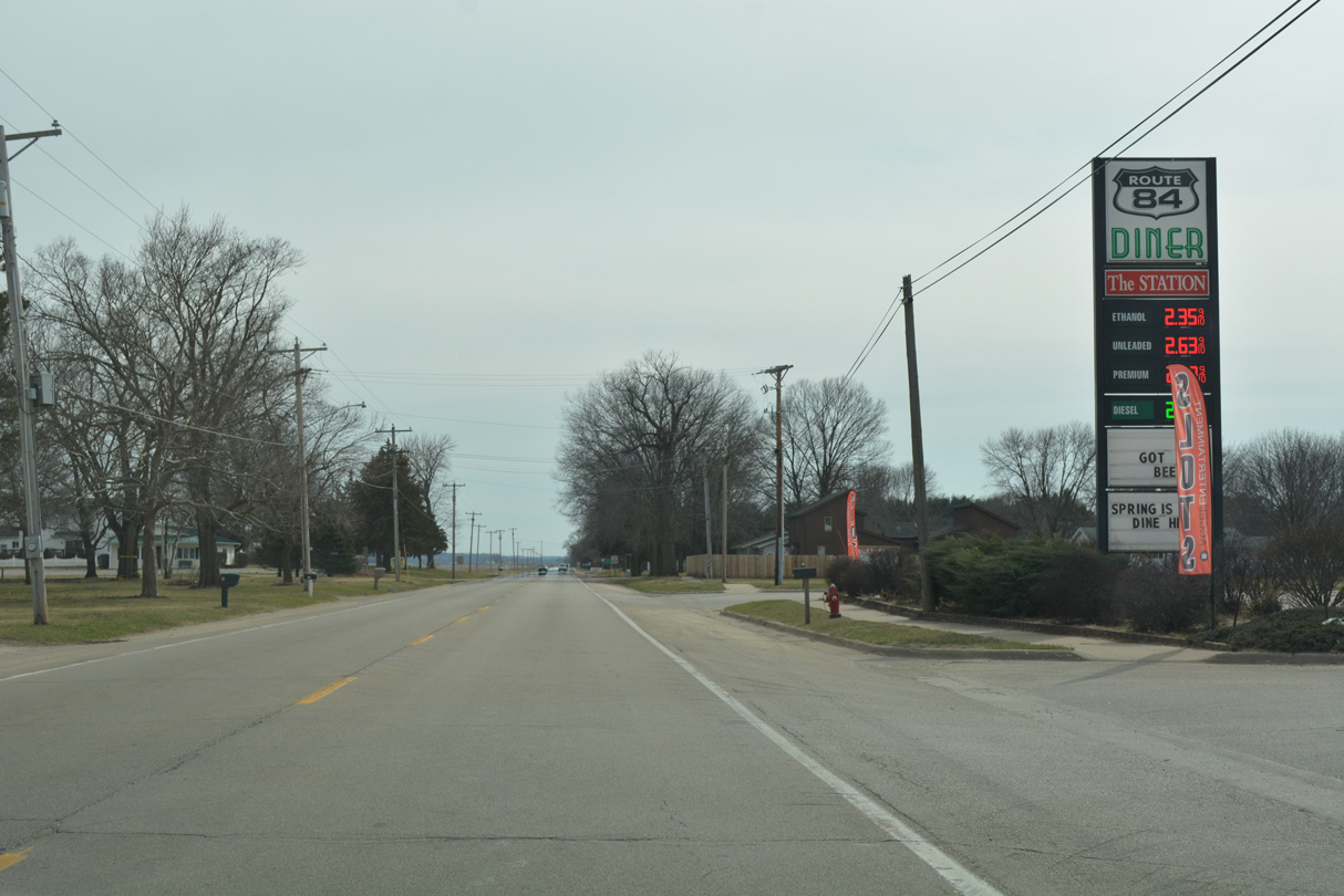
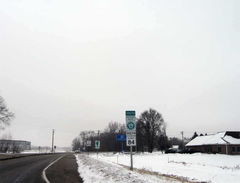
Route 84 South - Carroll / Whiteside Counties
 South
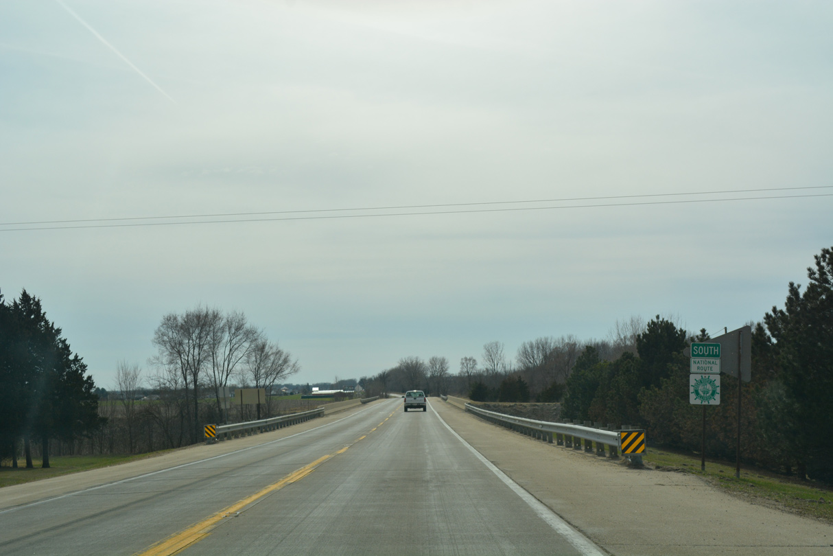
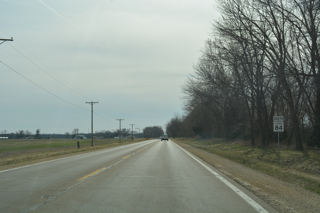
South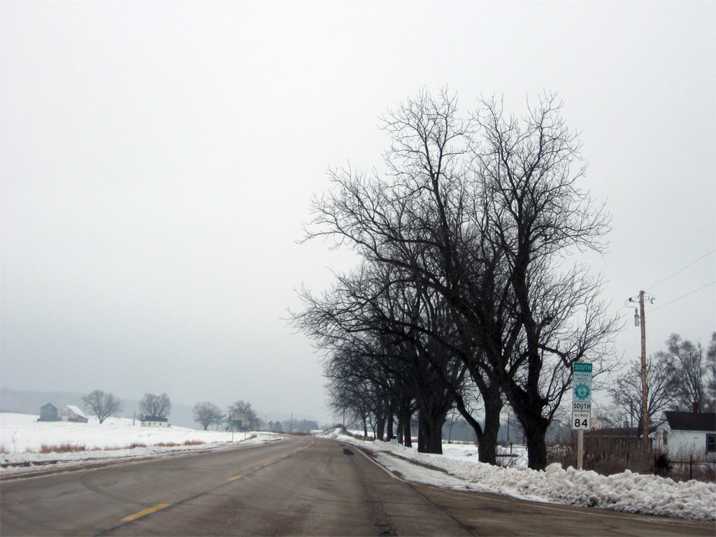
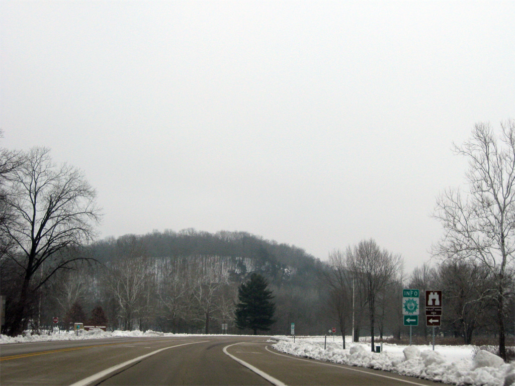
Army Depot Road spurs west from IL 84 to the former Savanna Army Depot. The facility closed on March 18, 2000 after 83 years of service and now is home to a business park and the Lost Mound Unit of the Upper Mississippi River National Wildlife and Fish Refuge.
12/21/09
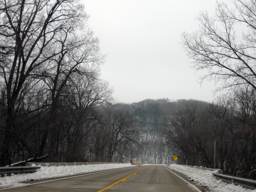
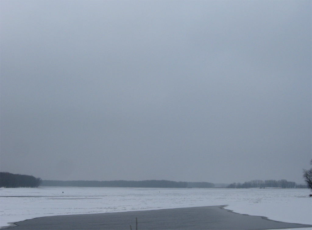
Southward, IL 84 travels closer to the Mississippi River, lining swampland and sloughs to a crossing of Rush Creek.
12/21/09
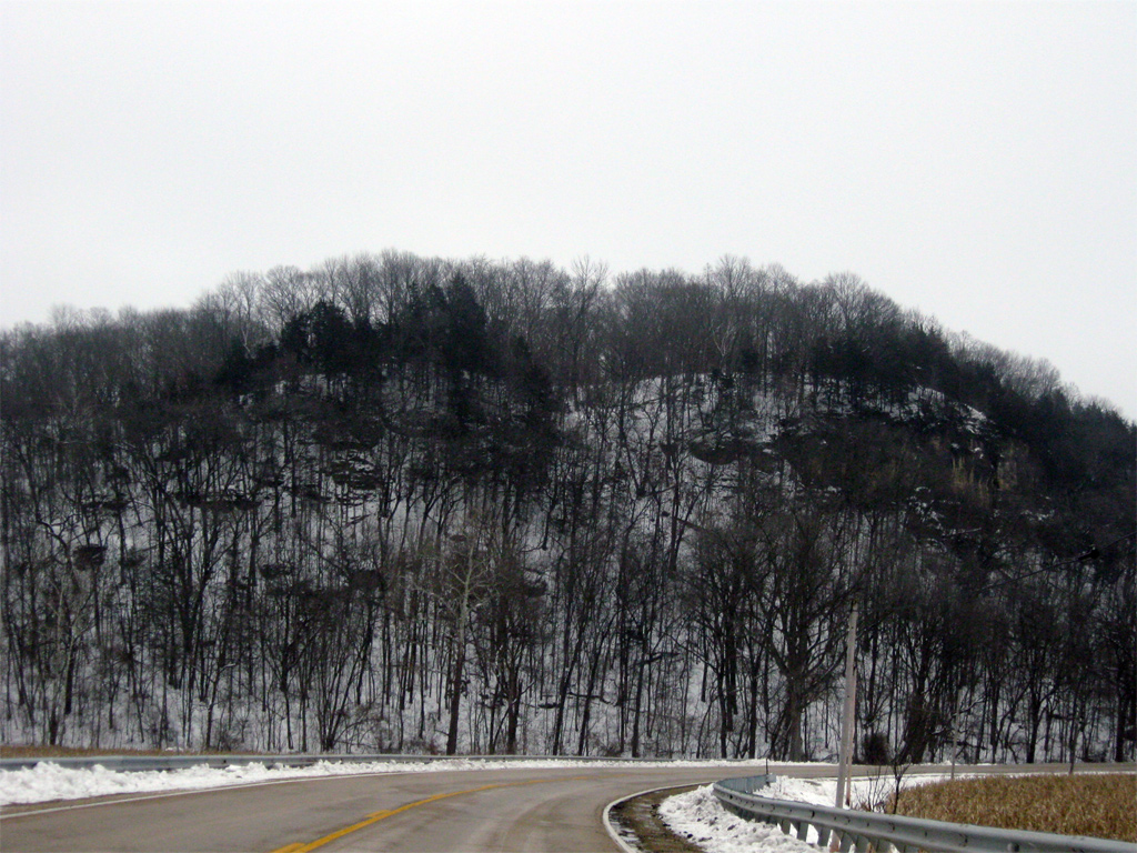
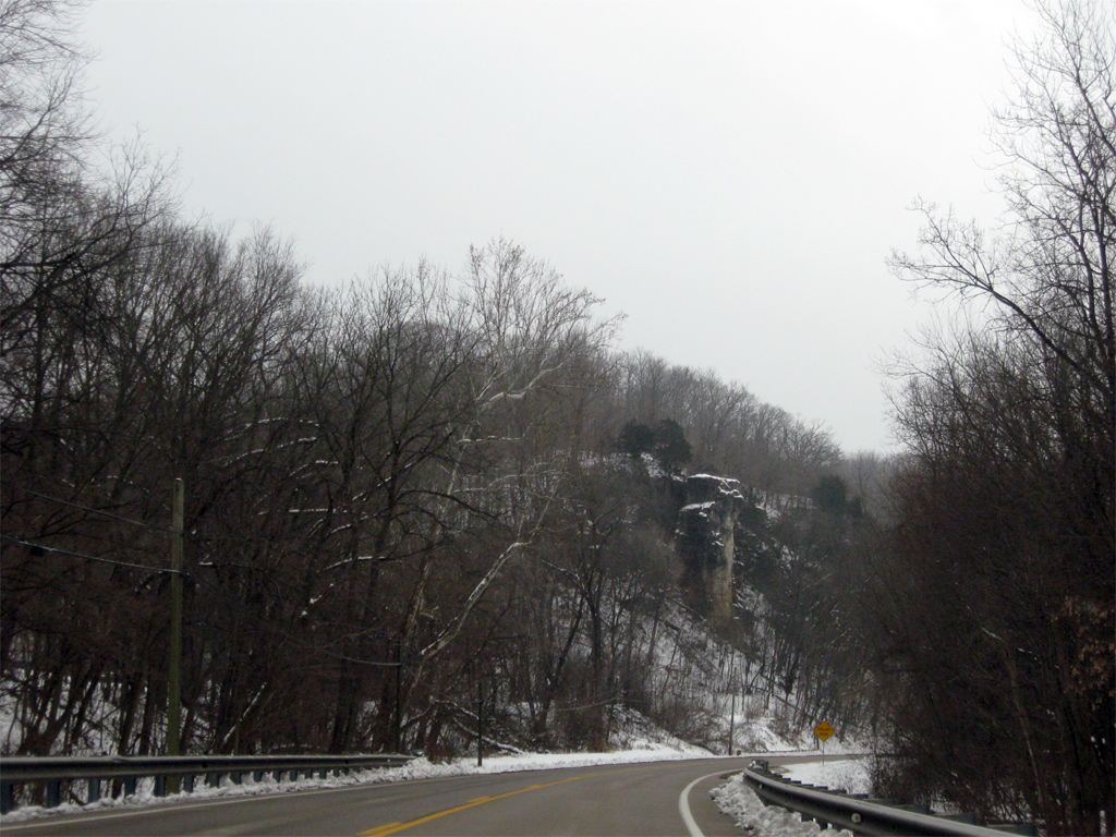
Cliffs of Mississippi Palisades State Park rise high above IL 84 adjacent to the intersection with Mill Hollow Road.
12/21/09
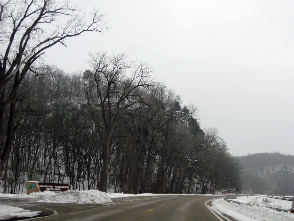
Passing by the entrance to Mississippi Palisades State Park on IL 84 south at Marina Road. The park offers camping, fishing, hunting, a 15 mile trail system and winter sports such as cross-country skiing and sledding.
12/21/09
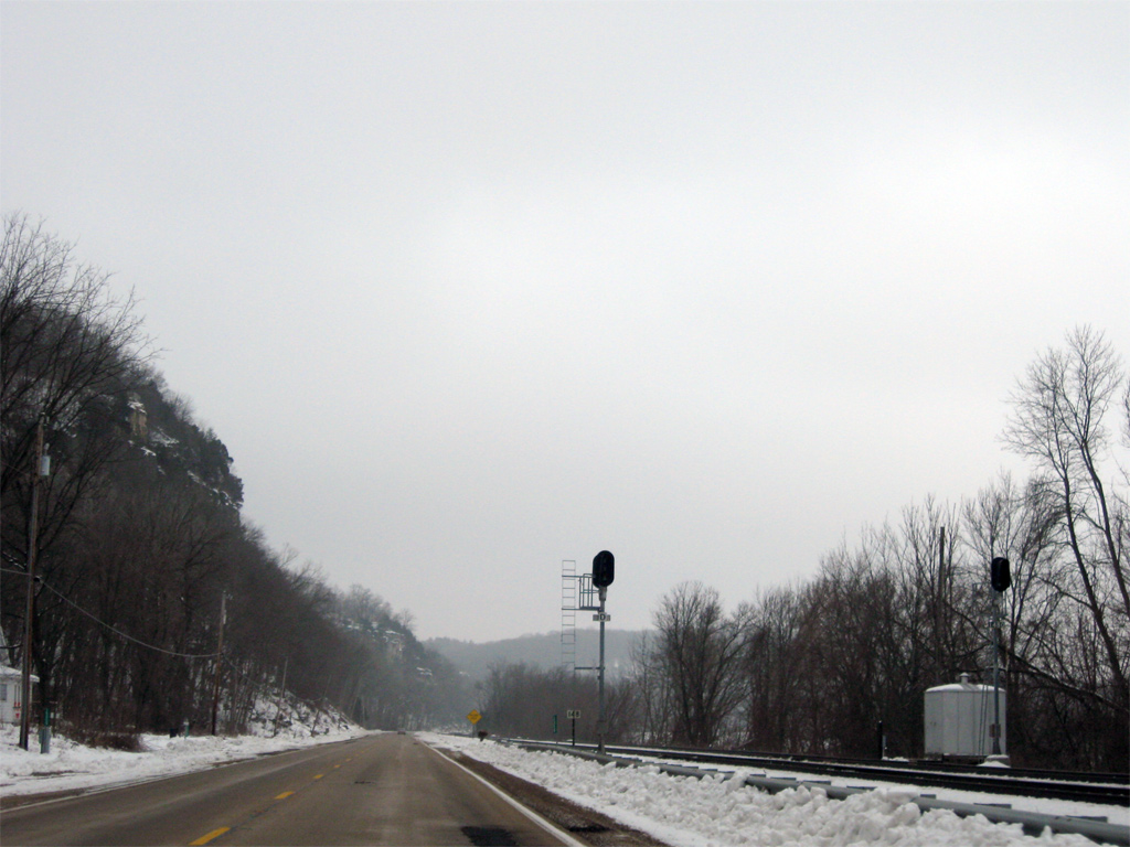
A BNSF Railroad line joins IL 84 along a narrow swath of land between the Mississippi River and the adjacent palisades.
12/21/09
The south entrance of the park provides access to hiking trails including the 1.2 mile long Sentinel Trail.
12/21/09
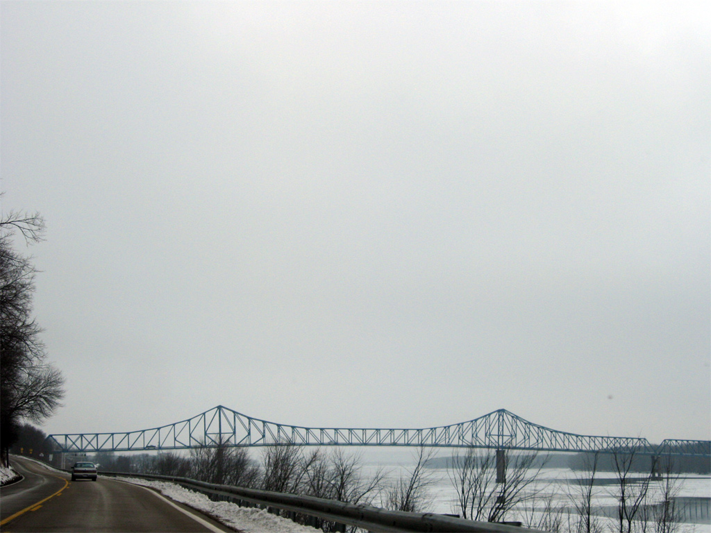
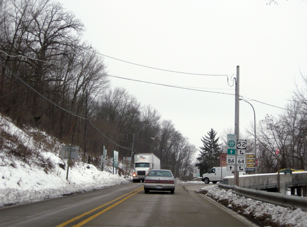
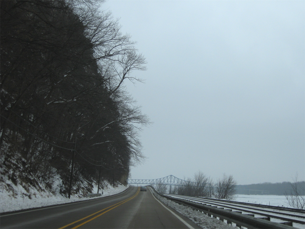
IL 84 emerges from below the cliffs along the Mississippi River to directly line the waterway southward into Savanna. The 1932-built Savanna-Sabula Bridge came into view on the drive.
12/21/09

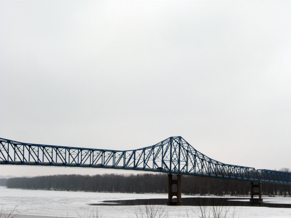
The Savanna-Sabula Bridge tied U.S. 52/IL 64 with IL 84 from Sabula, Iowa to the west. Replaced in 2017 by the Dale Gardner Veterans Memorial Bridge, the through truss span was the first crossing of the Mississippi River south from Dubuque.
12/21/09
U.S. 52 crosses the Mississippi River 20 miles upstream from the Mark Morris Memorial Bridge, the succeeding bridge at Fulton.
12/21/09
IL 64 is part of a multi-state route leading west 200 miles from Chicago to Anamosa, Iowa. The state route combines with U.S. 52 from Savanna west to U.S. 67, west of Sabula.
12/21/09
The Dale Gardner Veterans Memorial Bridge to Sabula was constructed approximately 1,000 feet south of the former Savanna-Sabula Bridge. It leads due west from IL 84 to the U.S. 52/Iowa 64 causeway by Sheepshead Bay, where the original toll collection facility was located.
12/21/09
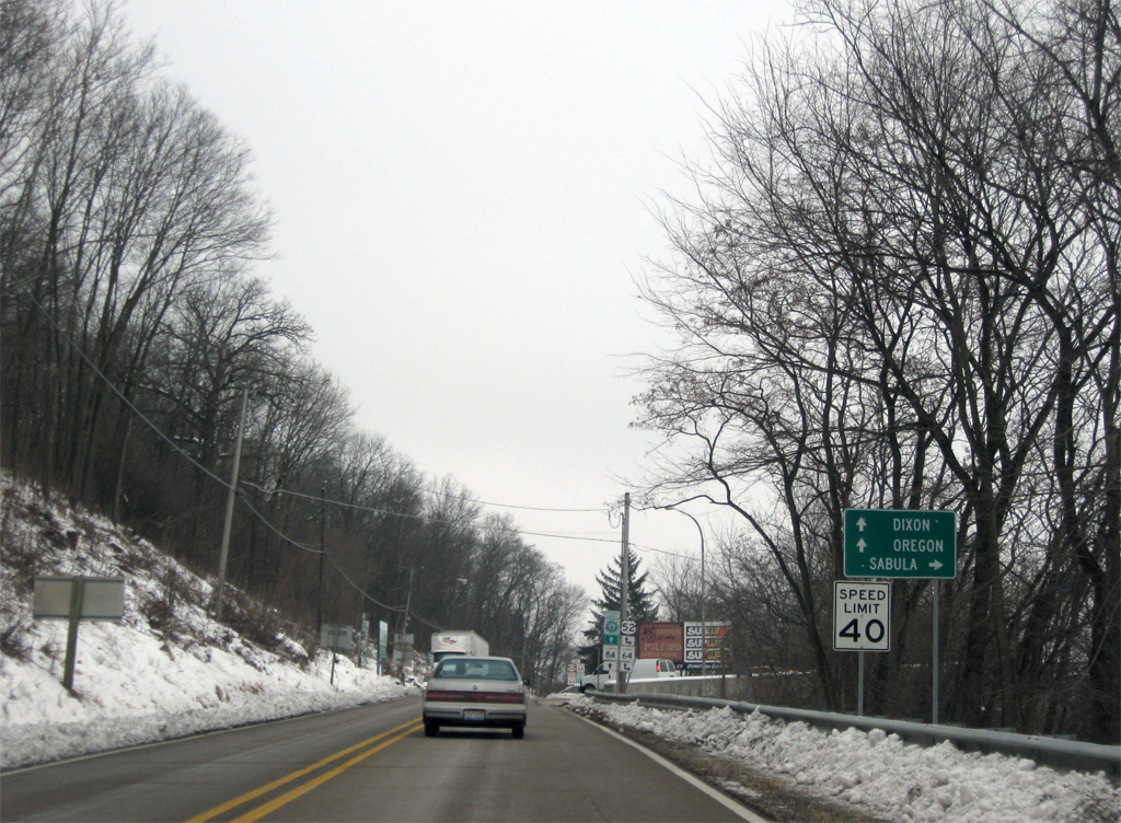
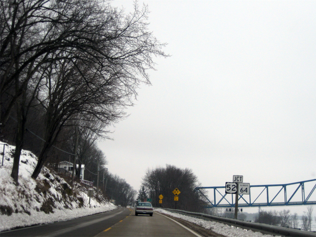
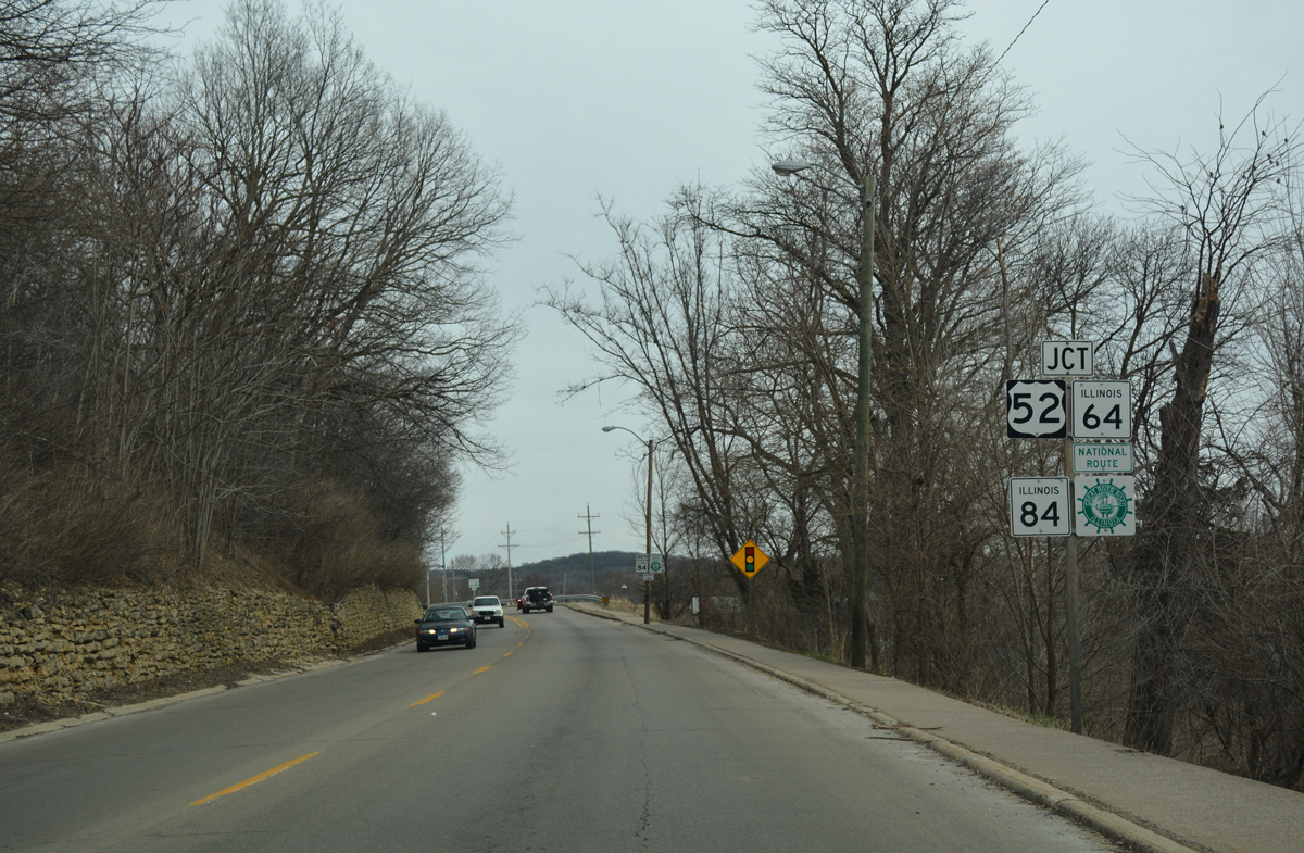
U.S. 52/IL 64 overlap east from the state line 29 miles through Mt. Carroll to the Ogle County line. U.S. 52 turns south from there to Dixon while IL 64 maintains an eastward heading to Oregon.
12/21/09
IL 84 south joins U.S. 52 & IL 64 east into Savanna. Westward, MSR 64 combines with U.S. 67 near Sabula briefly before parting ways en route to Maquoketa. U.S. 52 mirrors the Mississippi River northwest to Bellevue and Dubuque.
12/21/09

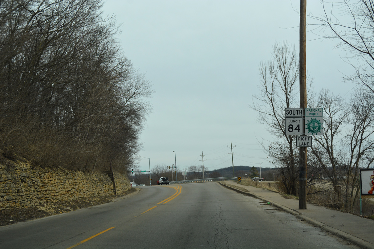
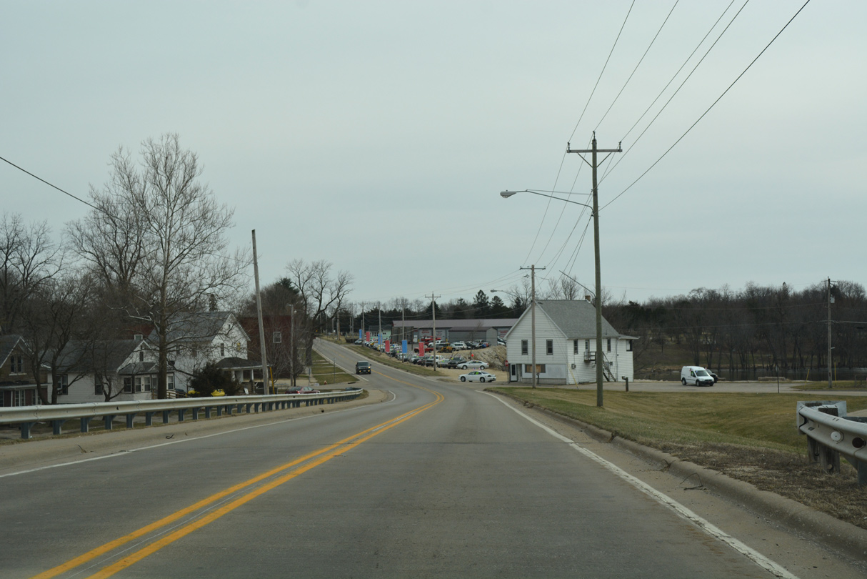
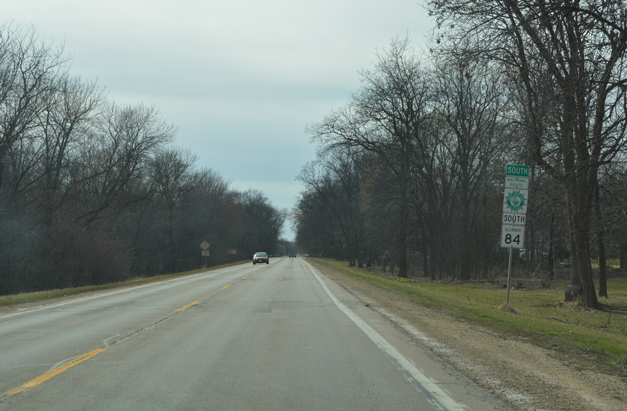
U.S. 52 & IL 64-84 overlap for two miles southeast through the city of Savanna.
03/12/17
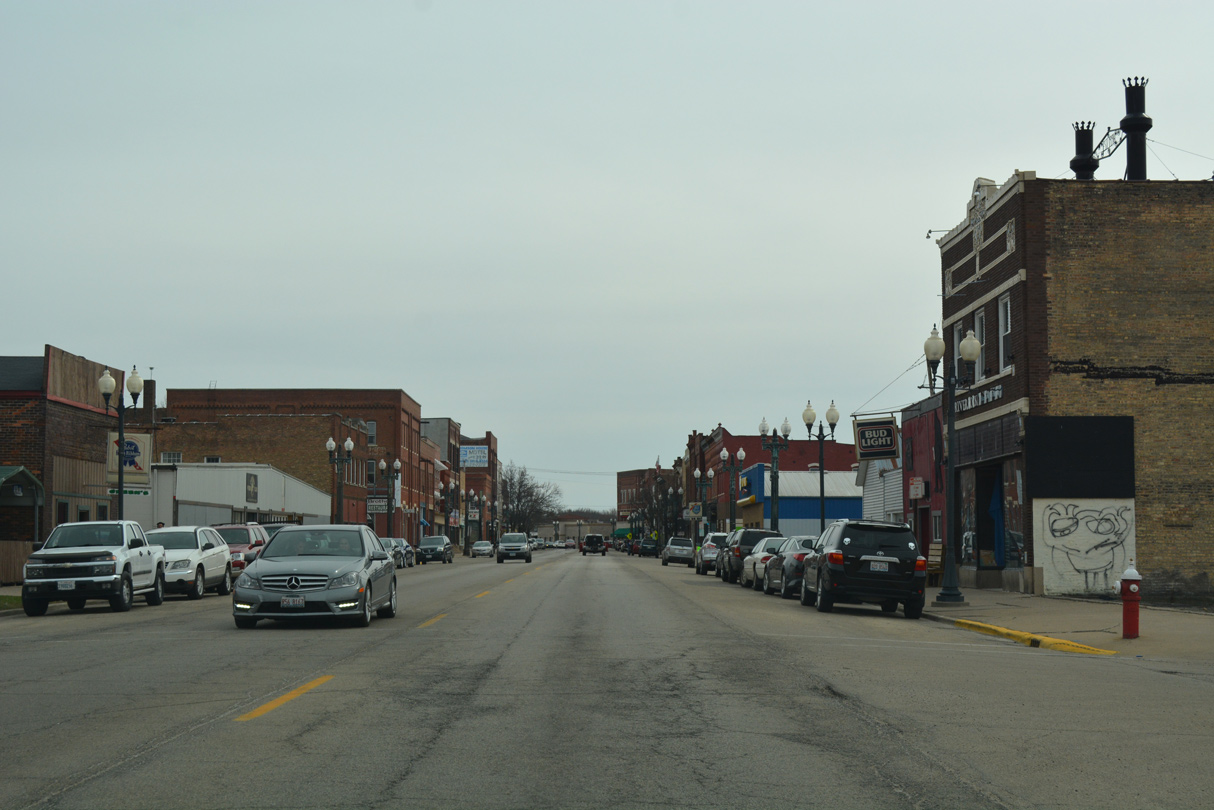
Main Street leads U.S. 52 & IL-64-84 south through Downtown Savannah. Pictured here is the intersection with Madison Street.
03/12/17
Main Street kinks southeast at Jefferson Street, matching the trajectory of the nearby Mississippi River to the mouth of the Plum River.
03/12/17
Main Street curves east onto Chicago Avenue to Savanna city hall at 5th Street.
03/12/17
U.S. 52/IL 64-84 (Chicago Avenue) hug a ridgeline just above CP Railroad line and a BNSF Railroad yard to their separation at Viaduct Road.
03/12/17
IL 84 branches southward from U.S. 52/IL 64 (Chicago Avenue) along Viaduct Road through southeast Savanna.
03/12/17

U.S. 52/IL 64 arc northeast along Chicago Avenue from the split with IL 84 (Viaduct Road) south through east Savannah to the Plum River. The two routes navigate eastward along a rural course to Center Hill and Mt. Carroll.
03/12/17
South
A pair of 1988 bridges cross over the CP and BNSF Railroad lines along IL 84 south of U.S. 52/IL 64 (Chicago Avenue).
03/12/17
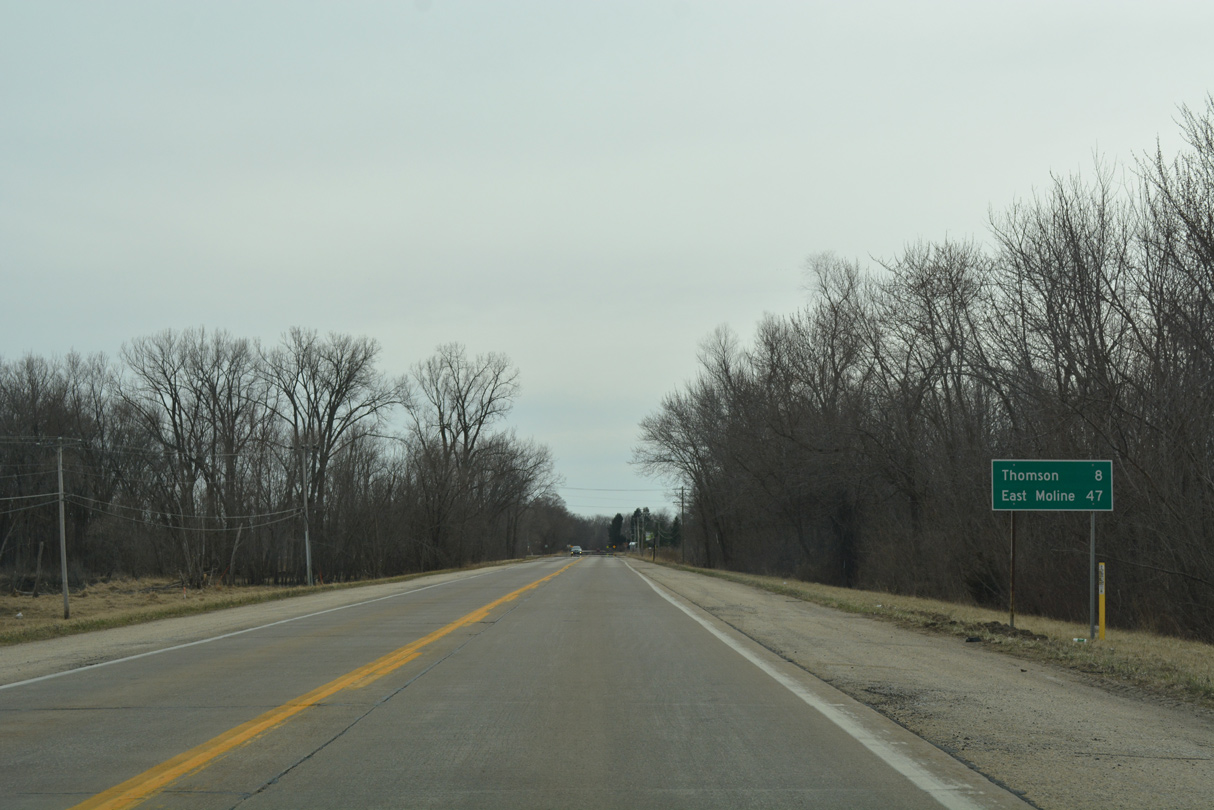
Crossing the Plum River, IL 84 leaves the Savanna city limits. The village of Thomson is next along the Great River Road south in eight miles. East Moline is 47 miles to the southwest.
03/12/17
Continuing south past Tri-Township Airport (SFY), IL 84 shifts away from Spring Lake and the Mississippi River through farmland ahead of Speer Road.
03/12/17
IL 84 straightens out and heads south ahead of Three Mile Road en route to Thomson.
03/12/17

IL 84 runs along the Thomson village line ahead of One Mile Road and fully enters the community ahead of Whitney Street and the business district.
03/12/17
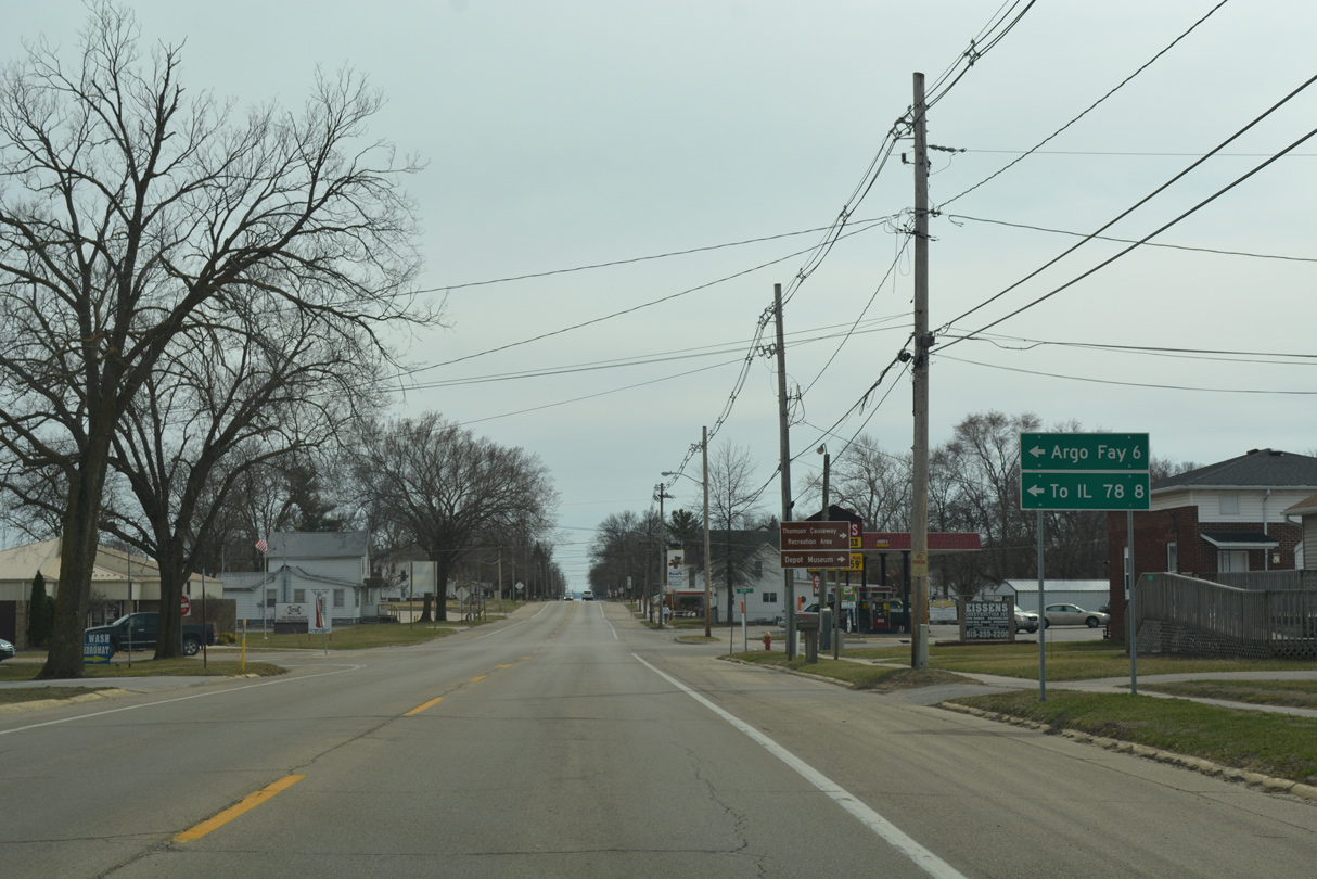
Main Street east and Argo Fay Route come together at IL 84 at the Thomson village center. Argo Fay Route runs six miles northeast to Argo Fay and 7.6 miles to IL 78.
03/12/17
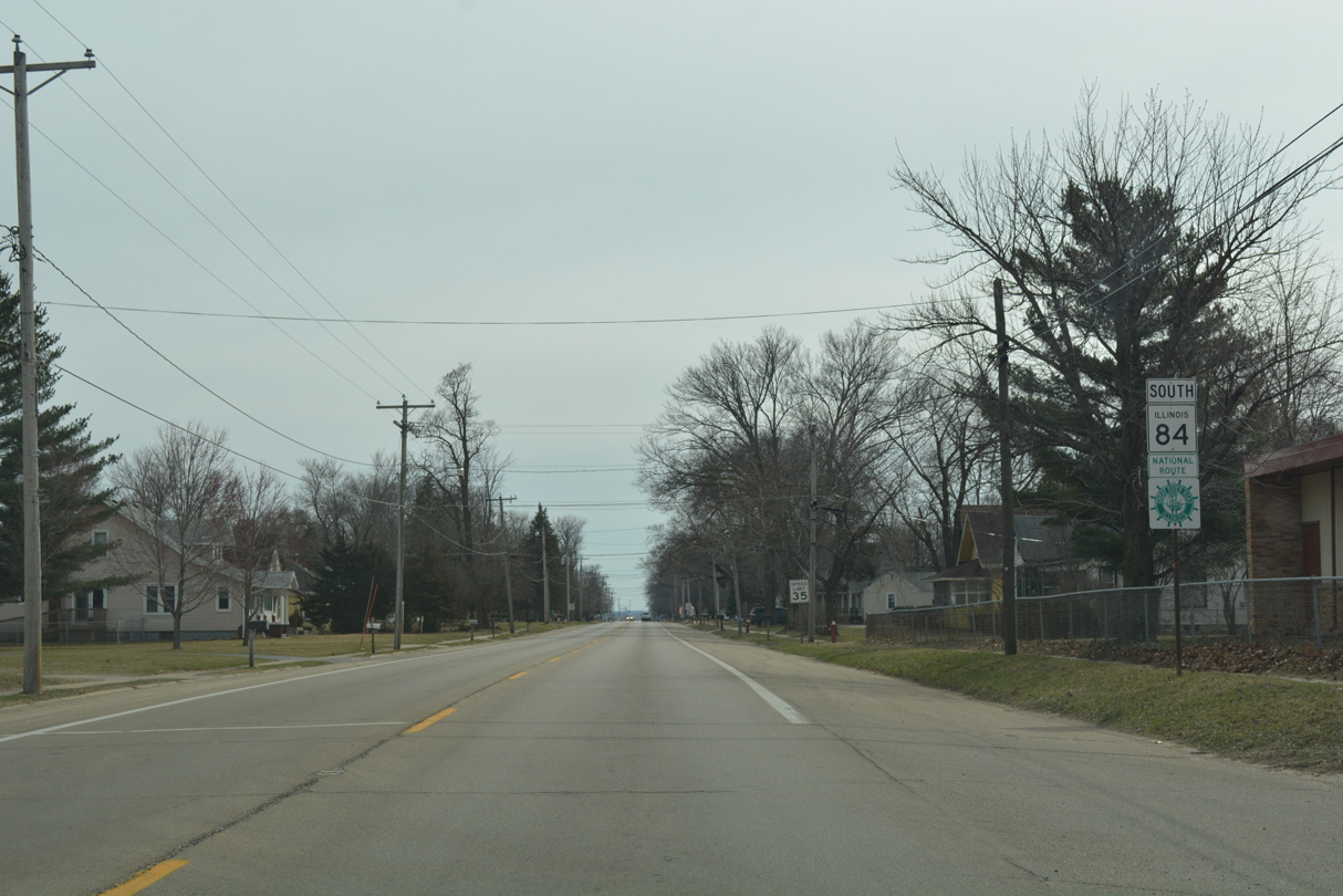
IL 84 extends another 0.7 miles south from Main Street to the Thomson village line.
03/12/17
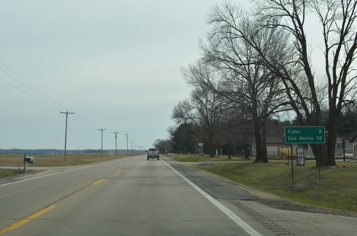
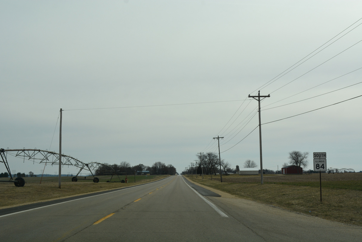
Progressing south from Thomson, motorists on IL 84 reach Fulton in eight miles and East Moline in 38 miles.
03/12/17
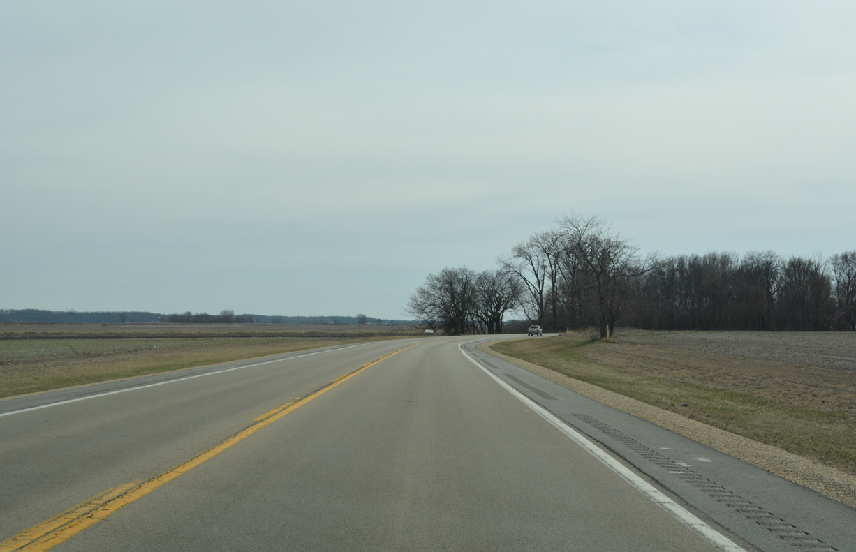
Shifting westward again, IL 84 approaches the old Chicago, Milwaukee, St. Paul and Pacific Railroad siding of Ebner.
03/12/17
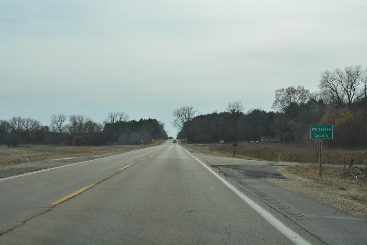
IL 84 and the parallel BNSF Railroad lien cross into northern Whiteside County just east of Potters Slough and Potters Marsh off the Mississippi River.
03/12/17
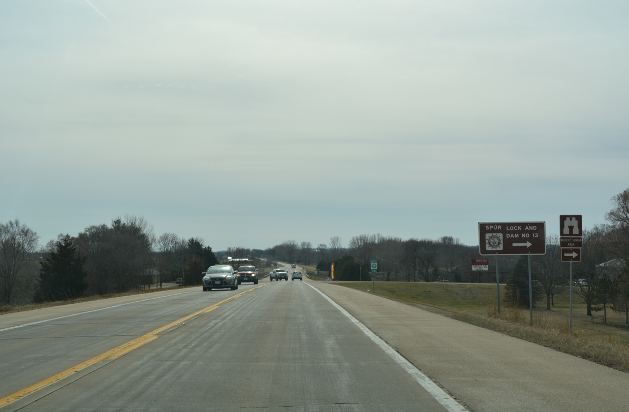
IL 84 south at Lock Road west. Lock Road is a Great River Road Spur connecting IL 84 with Lock and Dam Number 13 along the Mississippi River.
03/12/17
IL 84 and the Great River Road National Road advance south from Lock Road across Johnson Creek toward the city of Fulton.
03/12/17
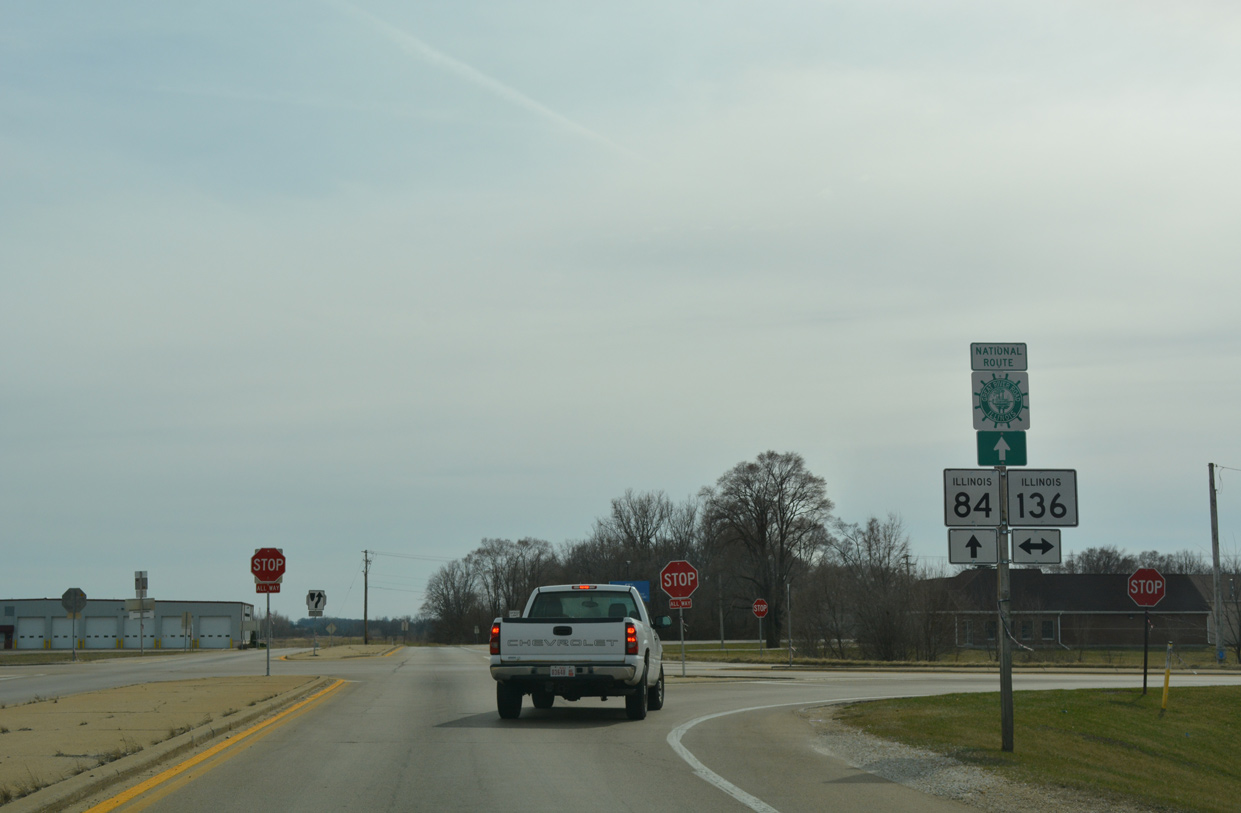
County Road 5 (Penrose Road) west ties into IL 84 ahead of this southbound reassurance marker.
03/12/17
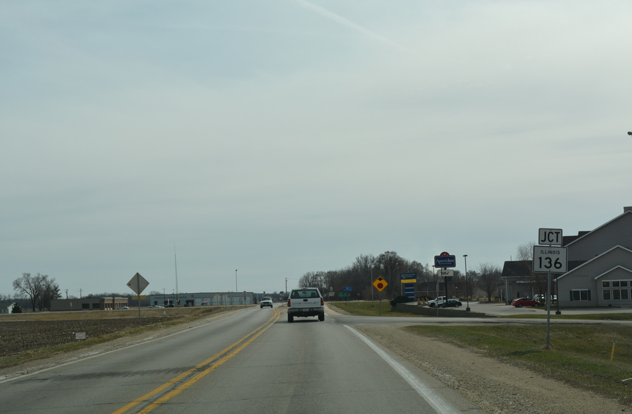
Heading southwest over Cattail Slough, IL 84 (Waller Road) reaches the Fulton city limits. The state route bypasses the community to the east through 10th Avenue (historic U.S. 30) and IL 136 (14th Avenue).
03/12/17
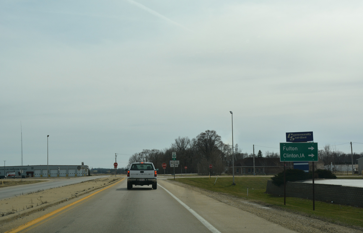
14th Avenue leads IL 136 west toward Downtown Fulton and the Mark Morris Memorial Bridge across the Mississippi River into Clinton, Iowa.
03/12/17
IL 136 is a 3.2 mile extension of Iowa 136 east from Clinton to U.S. 30 along Fulton Road. The historic route of the Lincoln Highway followed IL 84 south from 10th Avenue to Fulton Road east until 1954, when the Gateway Bridge opened to the southwest.
03/12/17
Southbound IL 84 (Waller Road) after the intersection with IL 136 in east Fulton.
12/21/09
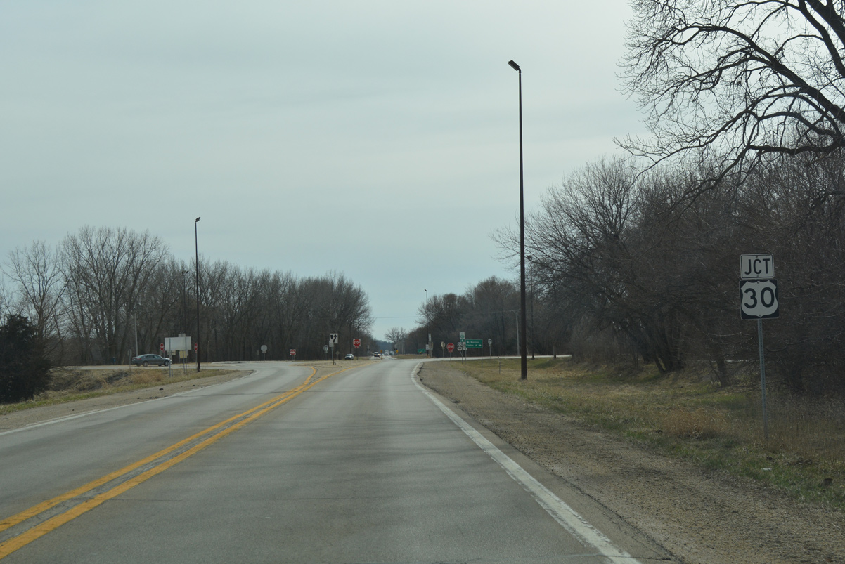
U.S. 30 crosses paths with IL 84 (Waller Road) on the south side of Fulton at East Clinton.
03/12/17
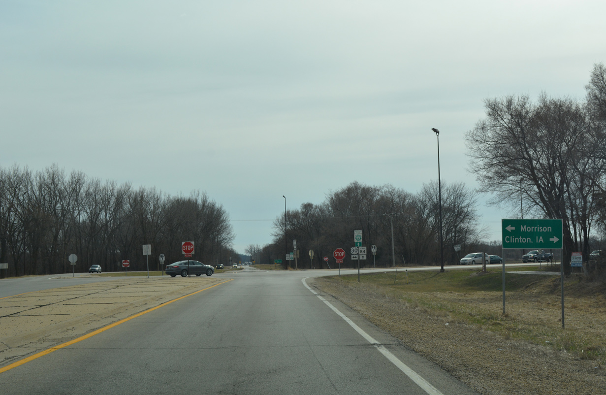
Crossing the Mississippi River along the Gateway Bridge, U.S. 30 leads west to Clinton, Iowa. Eastward the rural route merges with the end if IL 136 on the ten mile drive to the county seat of Morrison.
03/12/17
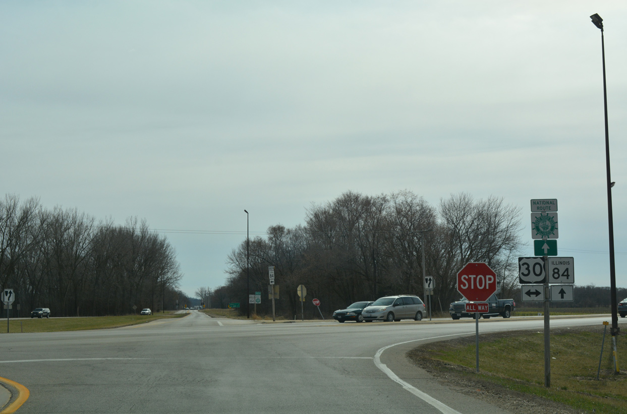
U.S. 30 west combines with U.S. 67 south of Downtown Clinton in 1.9 miles while the route east continues to Rock Falls on a 152 mile trek across the state.
03/12/17
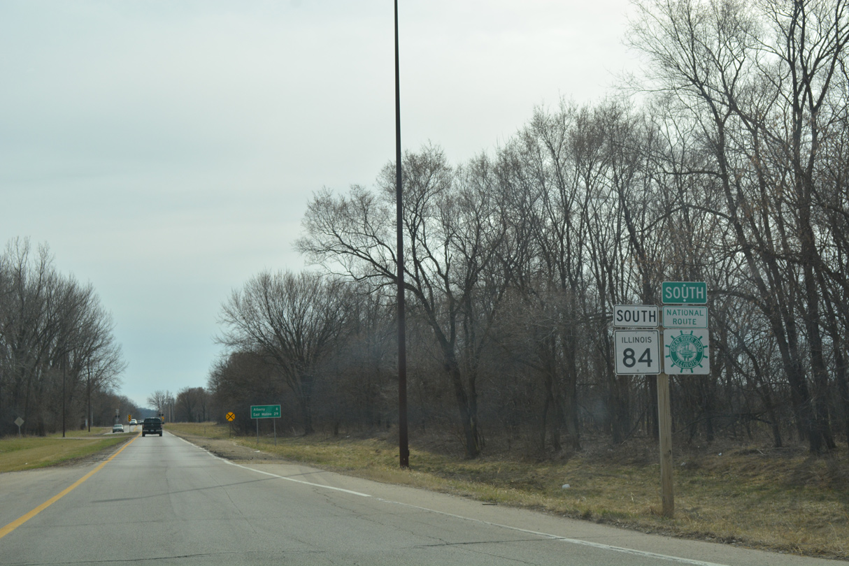
Continuing south from U.S. 30 (Lincoln Highway) on IL 84 by the settlement of East Clinton.
03/12/17
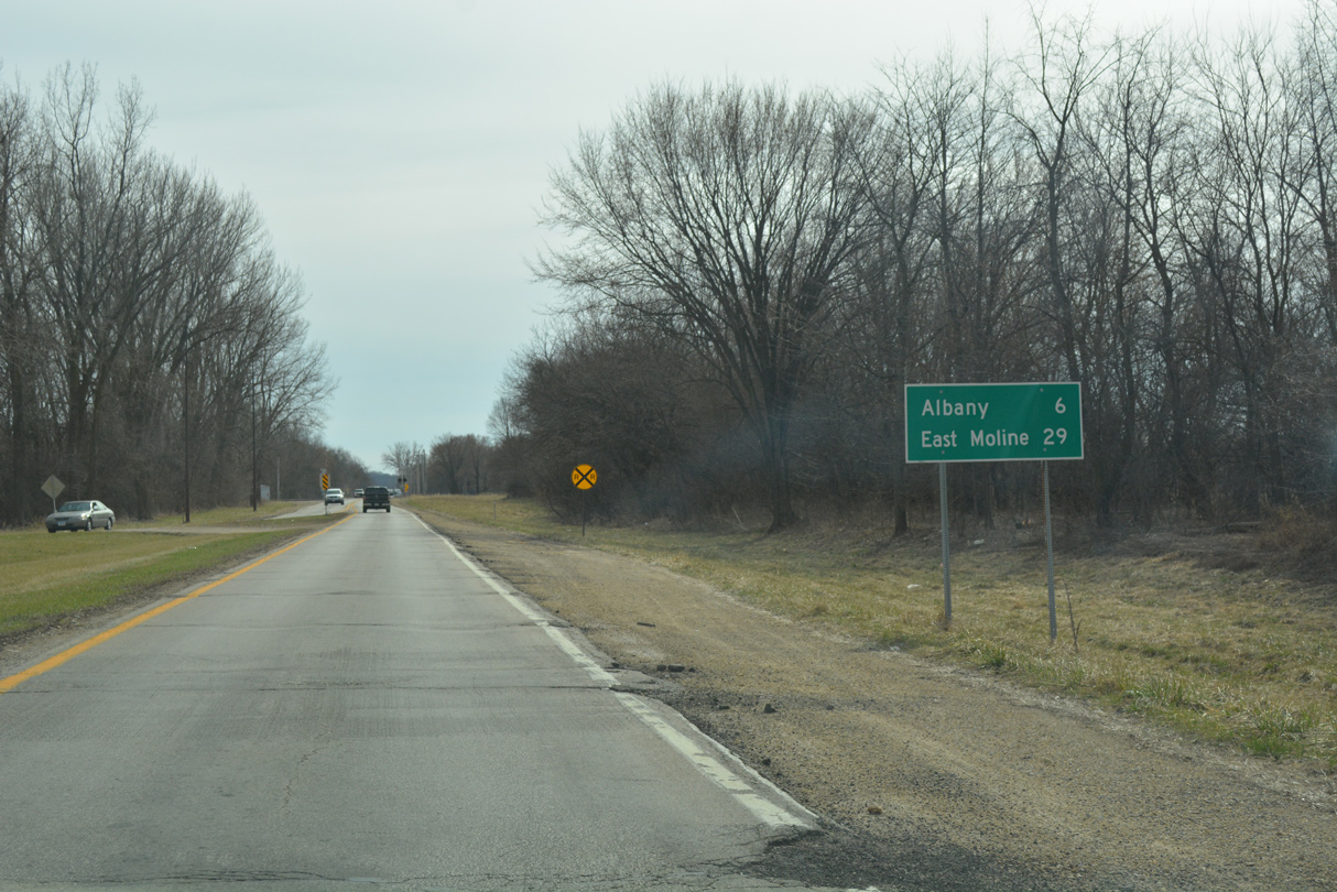
IL 84 and the Great River Road head six miles south from East Clinton to Albany and 29 miles to East Moline.
03/12/17
IL 84 spans a Union Pacific Railroad ahead of Ward Road west to East Clinton.
03/12/17
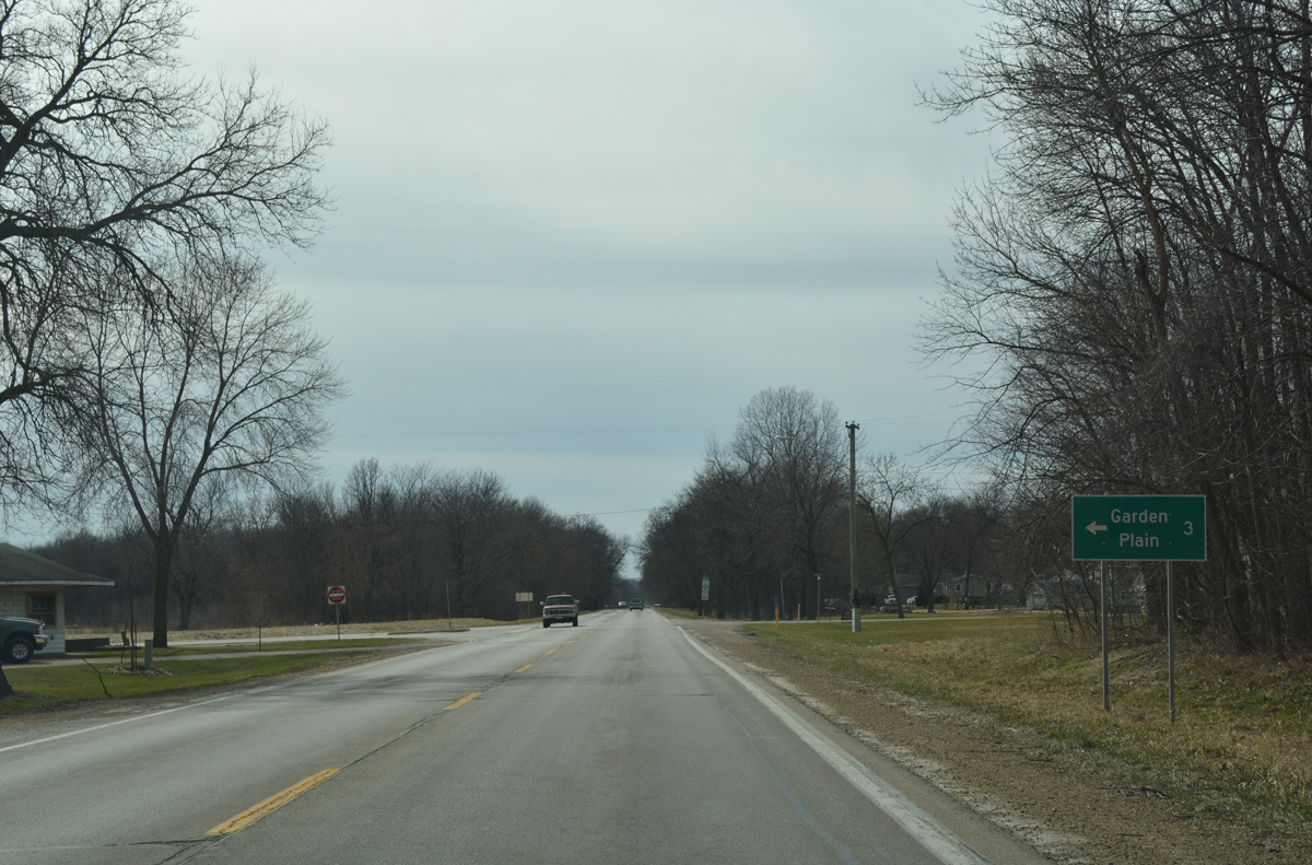
Garden Plain Road stems east from IL 84 to the community of Garden Plain and U.S. 30/IL 78 at Unionville. CR 14 and CR 30 tie into the rural route from the south nearby.
03/12/17
Waller Road (IL 84) curves southwest along the Mississippi River across from Beaver Island on the ensuing stretch.
03/12/17
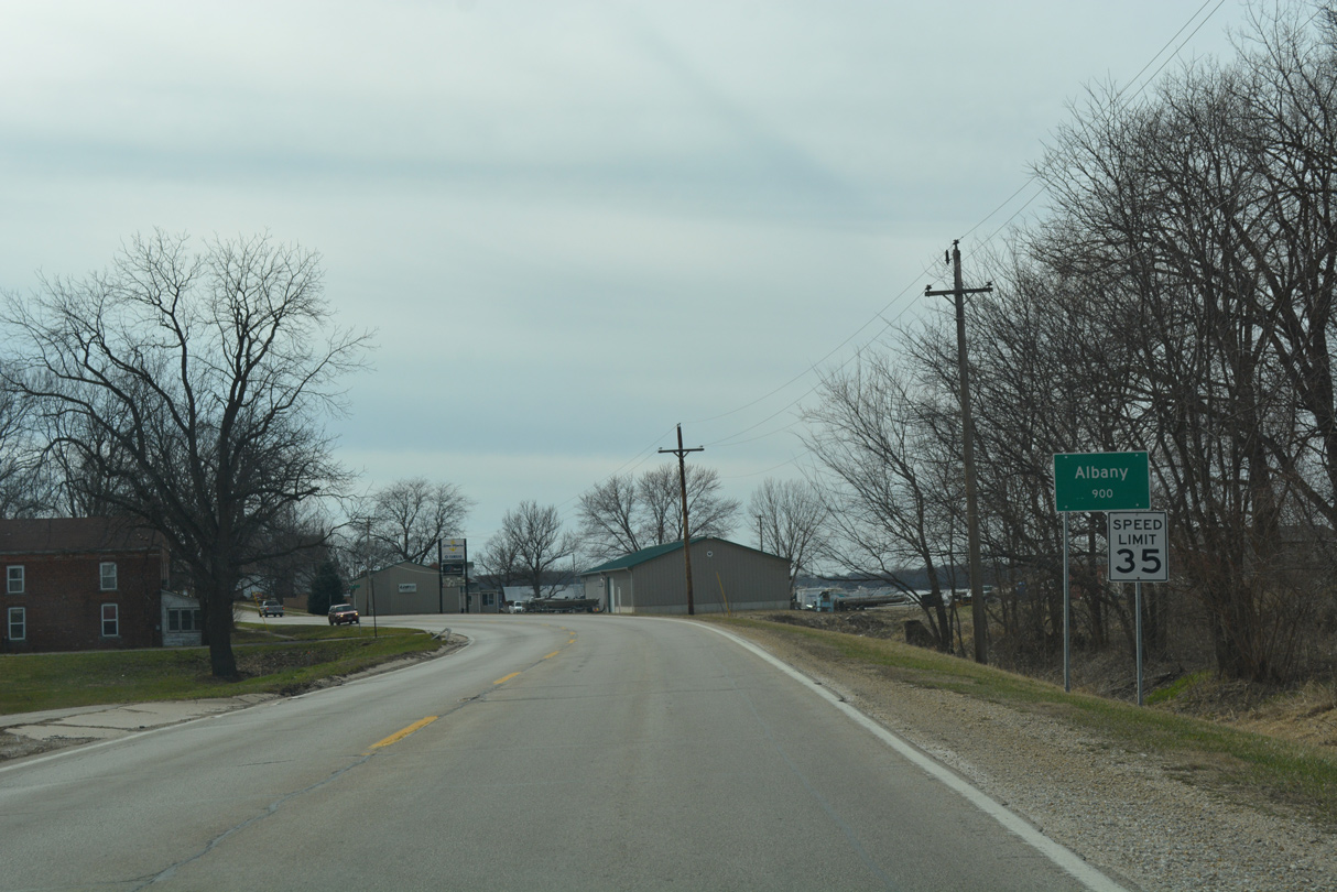
Entering the village of Albany along IL 84 (Waller Road) south ahead of 10th Avenue North.
03/12/17
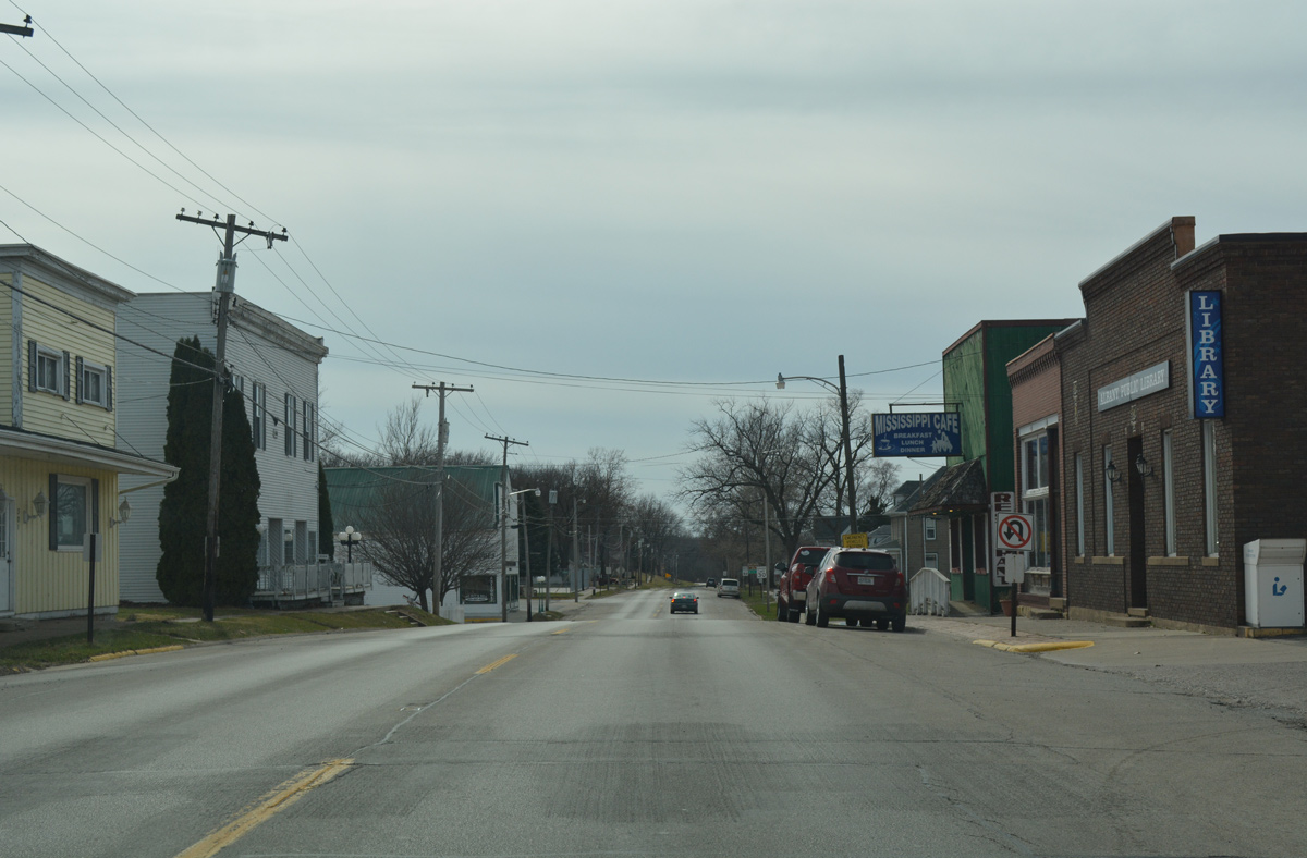
Main Street leads IL 84 through the Albany business district, located just off the Mississippi River at 3rd Avenue South.
03/12/17
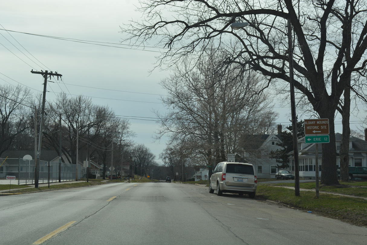
Park Avenue connects Route 84 (Main Street) with 5th Avenue South to both Cherry Street to the Albany Mounds Historic Site, and County Road 13 (Albany Road) southeast to I-88 and Erie.
03/12/17
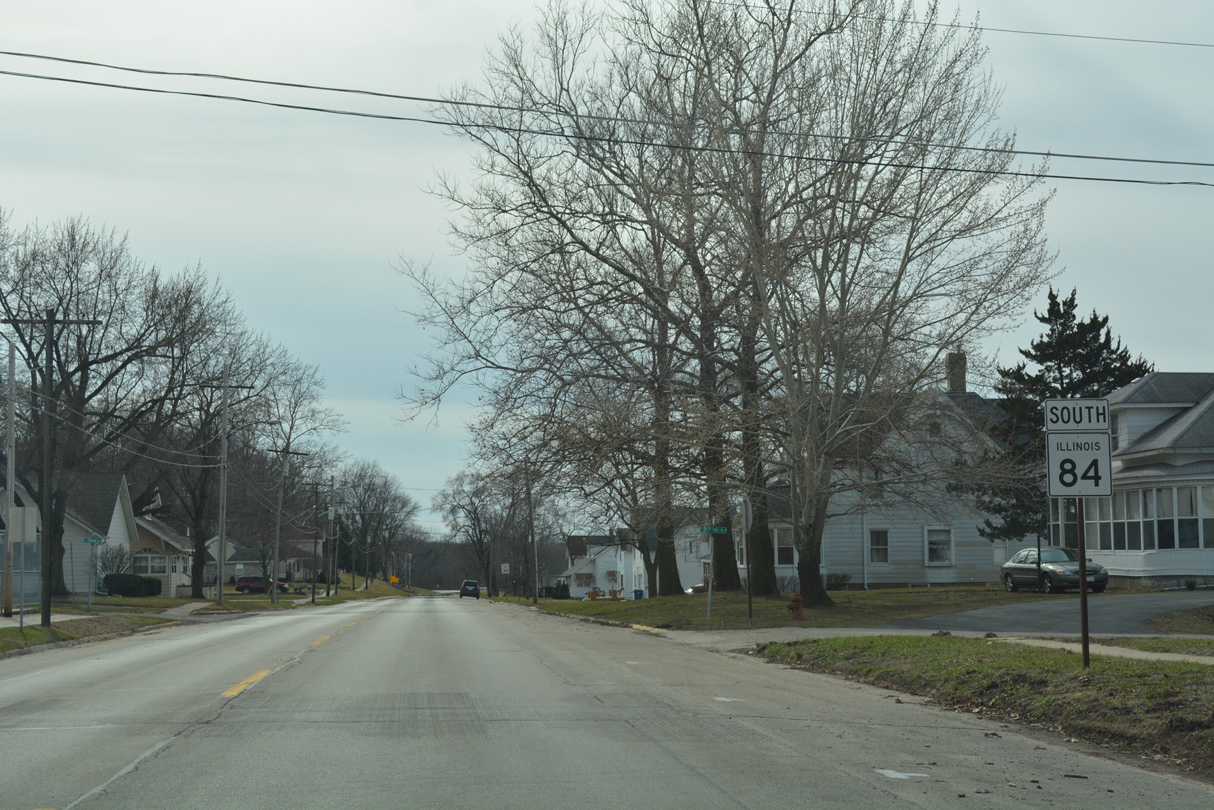
Southbound IL 84 advances past Park Avenue and Albany Main Street Park.
03/12/17
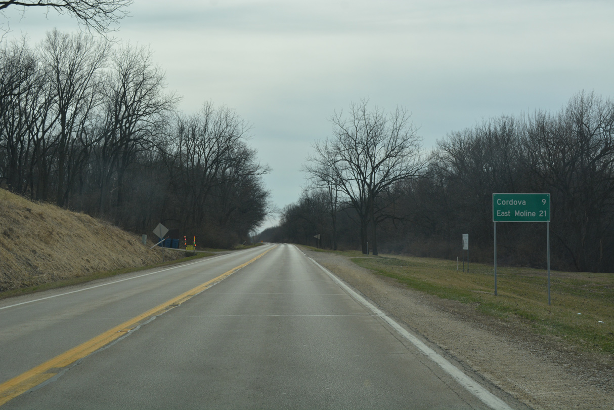
Departing Albany, IL 84 runs alongside the Upper Mississippi River National Wildlife & Fish Refuge and the railroad bed of the former Chicago, Milwaukee, St. Paul & Pacific toward Cordova.
03/12/17

CR 26 (Meredosia Road) branches south from IL 84 by this shield assembly to parallel Meredosia Ditch and the Meredosia Bottoms to Rock Island County Road BB (150th Avenue North).
03/12/17
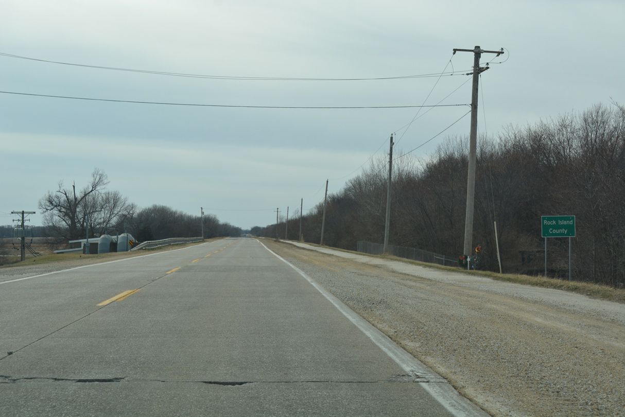
Crossing Meredosia Ditch, IL 84 heads into Rock Island County. The adjacent railroad bed was repurposed into the Great River Trail from Meredosia Road southward.
03/12/17

Photo Credits:
- Alex Nitzman: 12/21/09
- Alex Nitzman, Bill Gatchel: 03/12/17
Connect with:
Page Updated Friday May 18, 2018.