
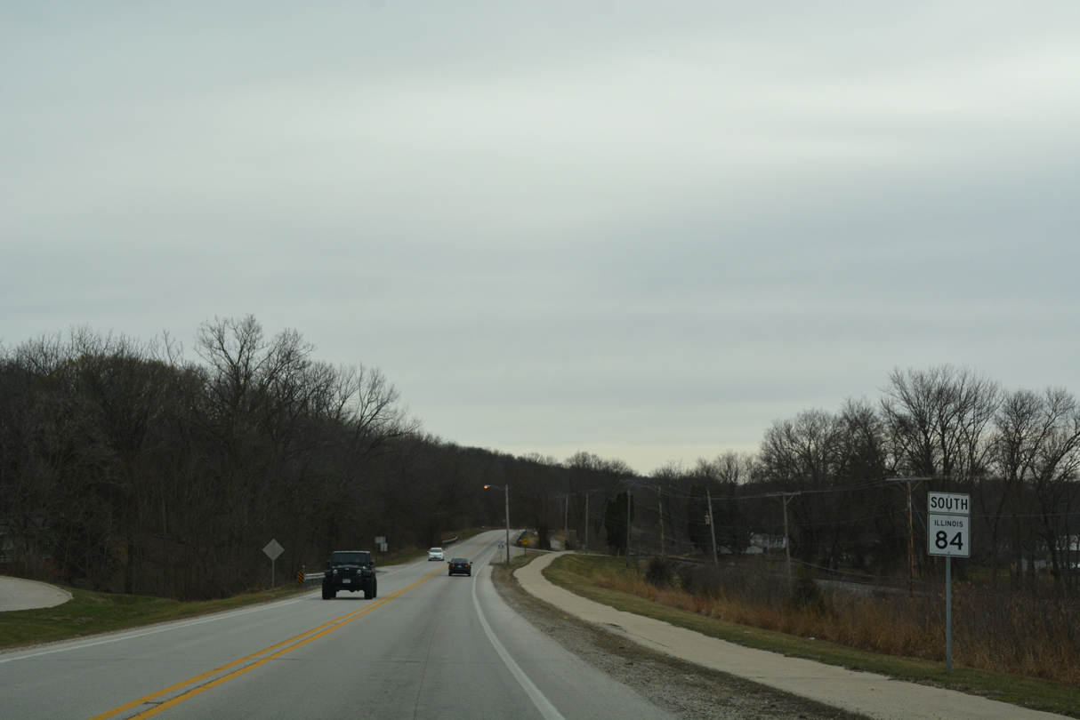
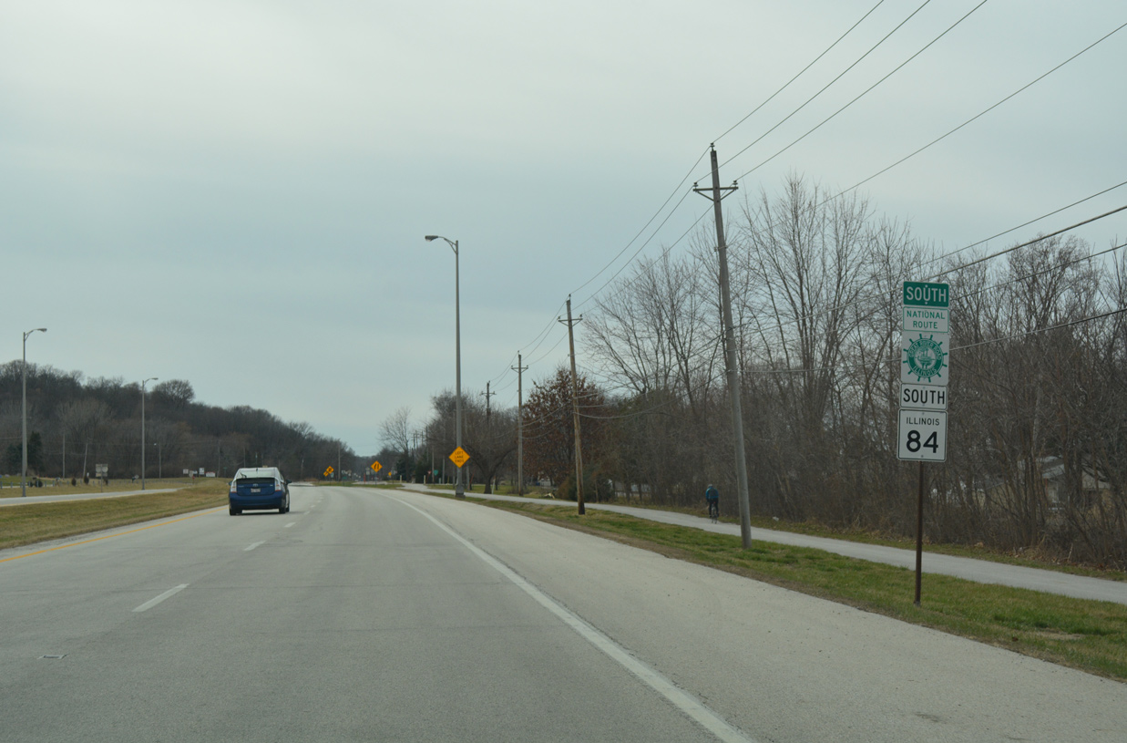
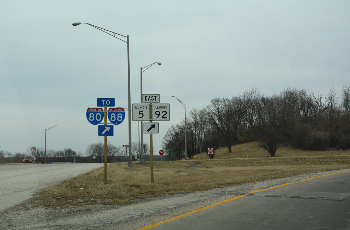
Route 84 South - Rock Island County
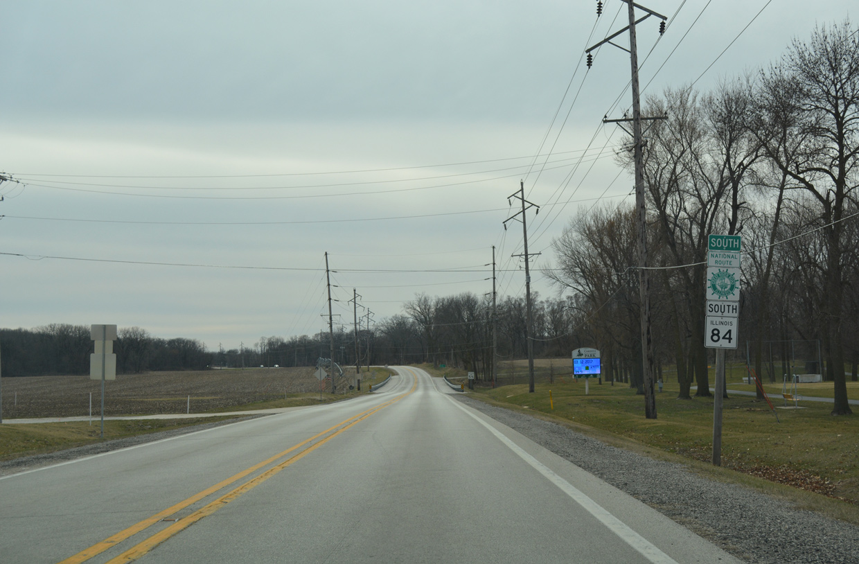
 South
South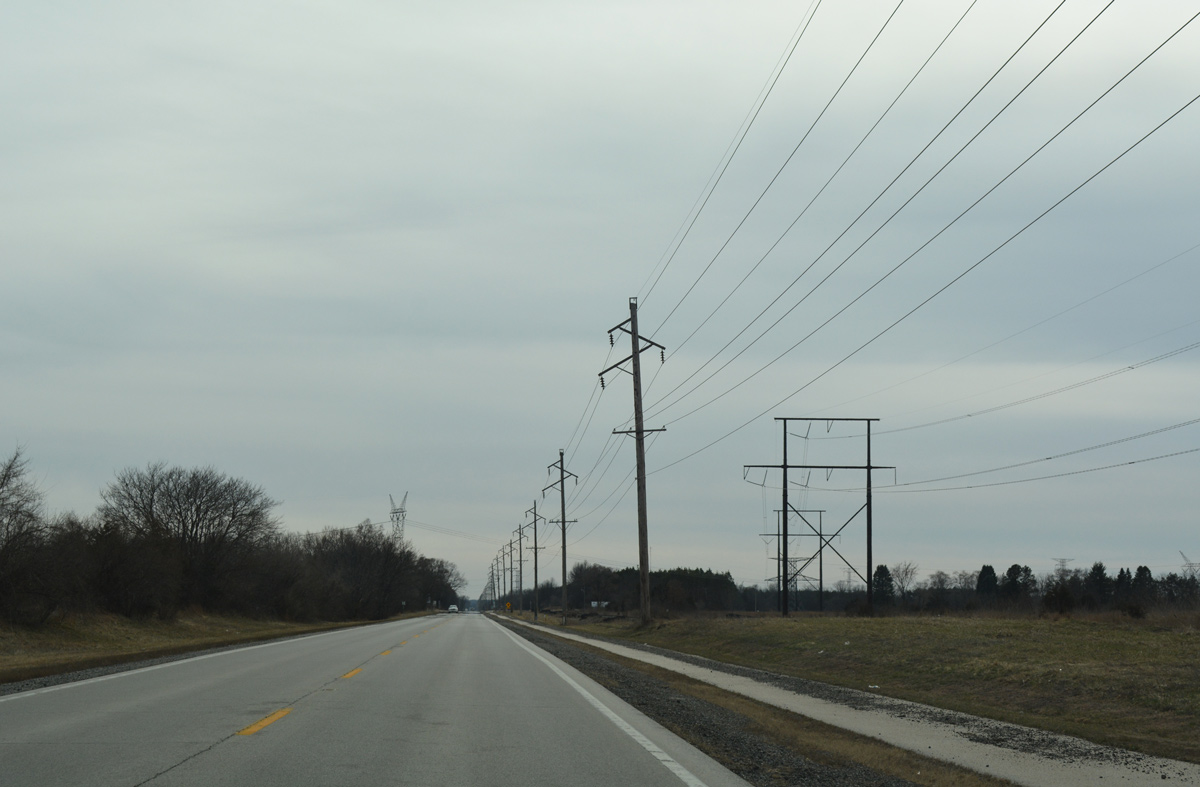
A multi-use trail accompanies IL 84 south from Whiteside County. The initial stretch in Rock Island County traverses agricultural areas east of the Quad Cities Generating Station.
03/12/17

Reassurance markers for IL 84 and the Great River Road south of 206th Avenue.
03/12/17
Cordova International Raceway lines the east side of IL 84 ahead of 192nd Avenue North.
03/12/17
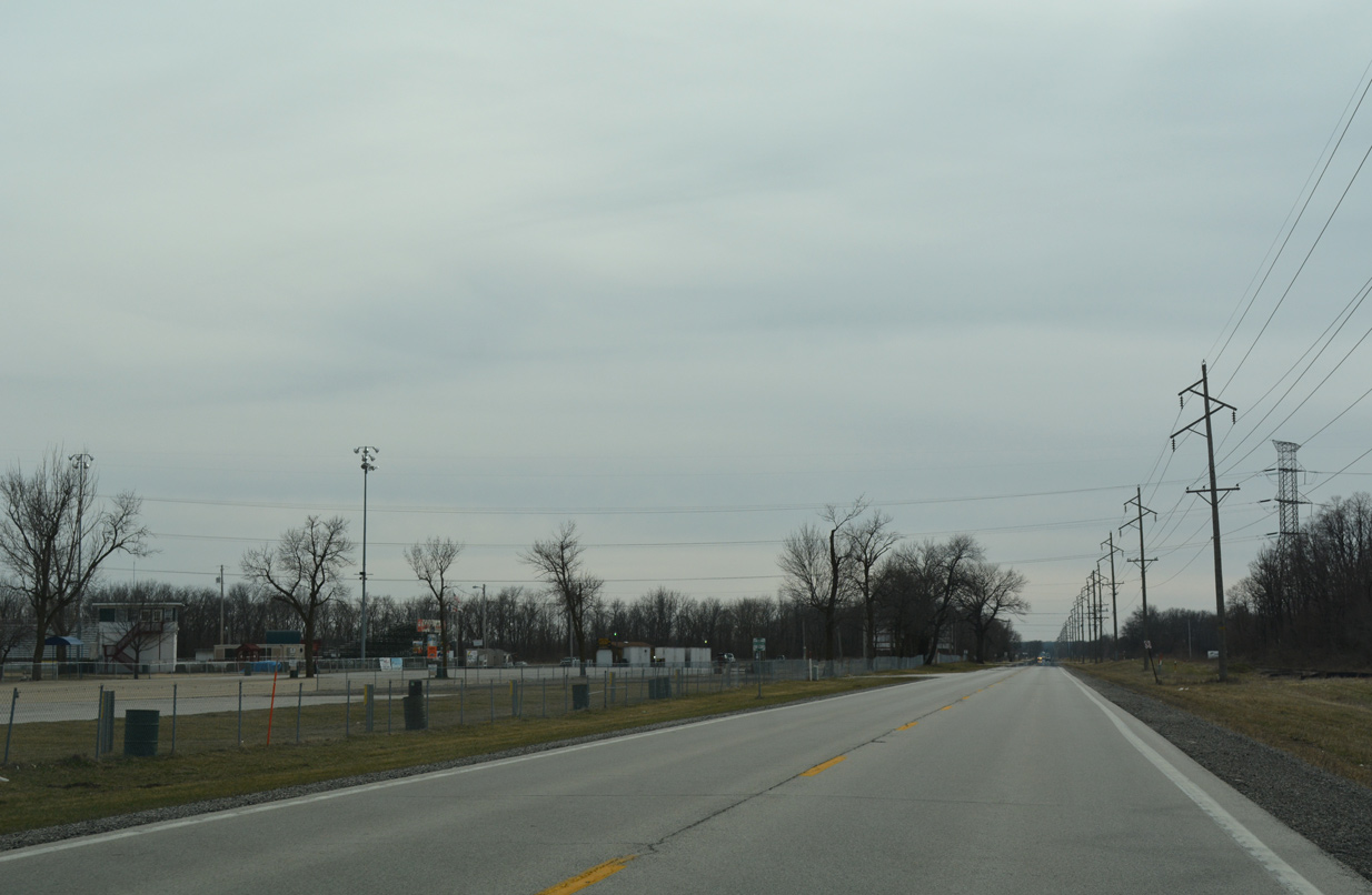
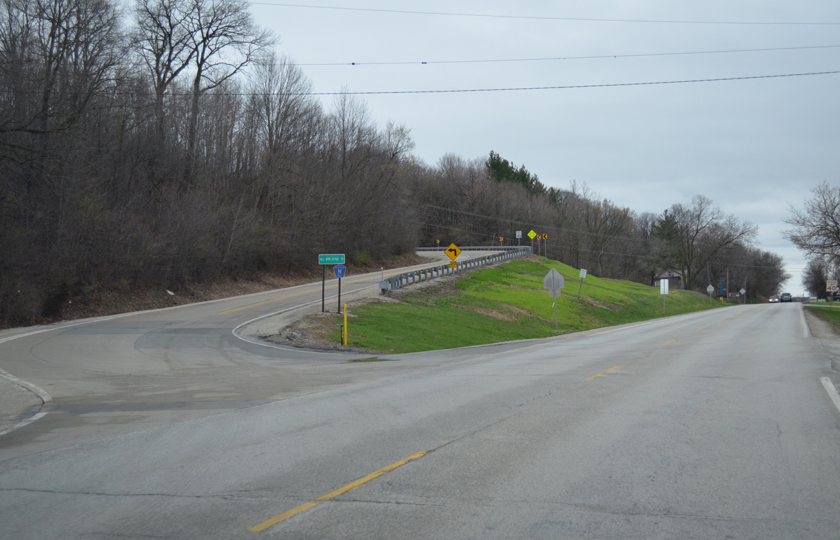
Advancing toward the northern outskirts of Cordova along IL 84 south by 171st Avenue. The state route diverges from the parallel BNSF Railroad line to bypass the forthcoming village.
03/12/17
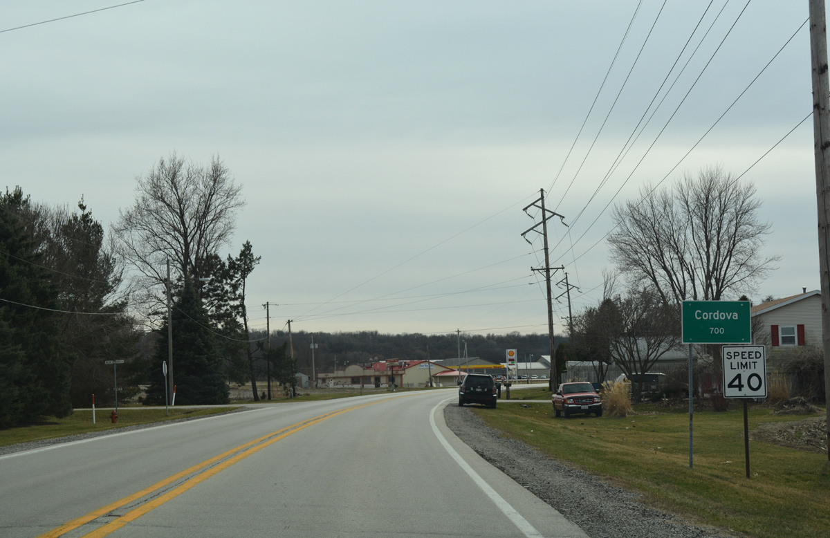
IL 84 enters the Cordova village limits for approximately a half mile. The residential street grid lies west along the Mississippi River via 11th Street north and Main Avenue west.
03/12/17
County Road BB ties into IL 84 ahead of this confirming marker from 157th Avenue North.
03/12/17
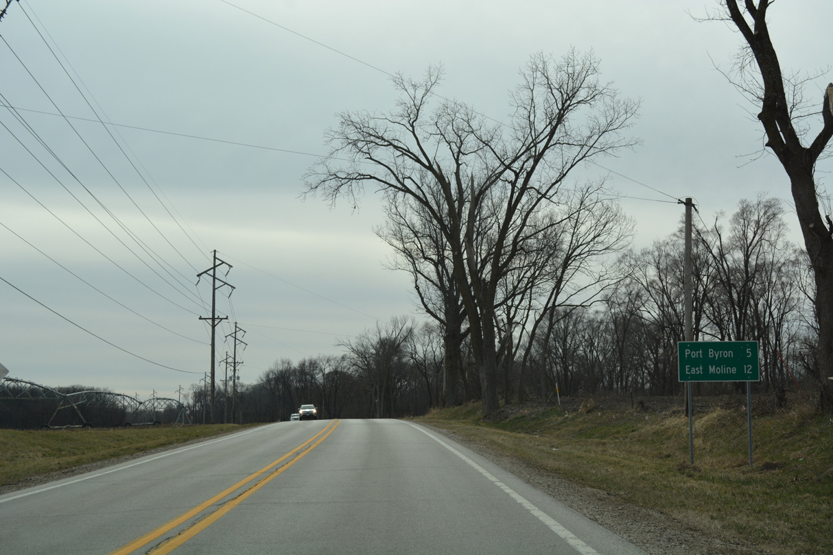
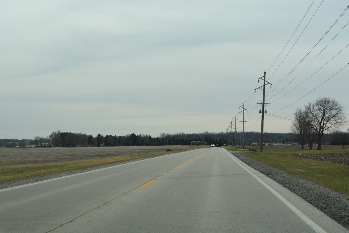
Leaving Cordova, IL 84 continues five miles to Port Byron and 12 miles to the city of East Moline.
03/12/17
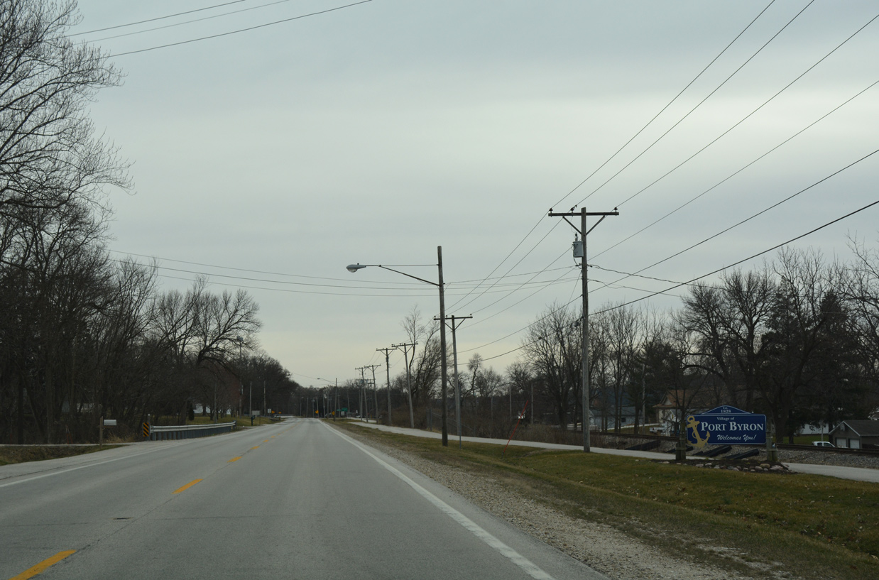
The Great River Trail runs along the west side of IL 84 as the state route enters the Port Byron village limits.
03/12/17
IL 84 south at 11th Street in Port Byron.
03/12/17
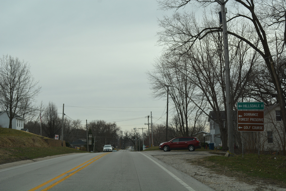
CR 2 (94th Avenue North) travels east from IL 84 by Dorrance Park to Byron Hills Golf Course and the village of Hillsdale. The county road measures 7.7 miles from Port Byron to Moline Road (old IL 2/92) and Main Street at Hillsdale.
03/12/17
South from CR 2 and Agnes Street, IL 84 heads 0.6 miles to Lynn Street by Port Byron Village Hall.
03/12/17
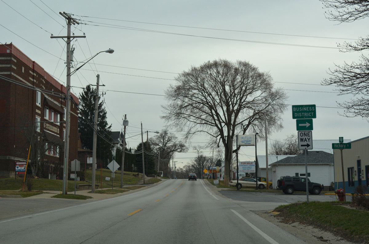
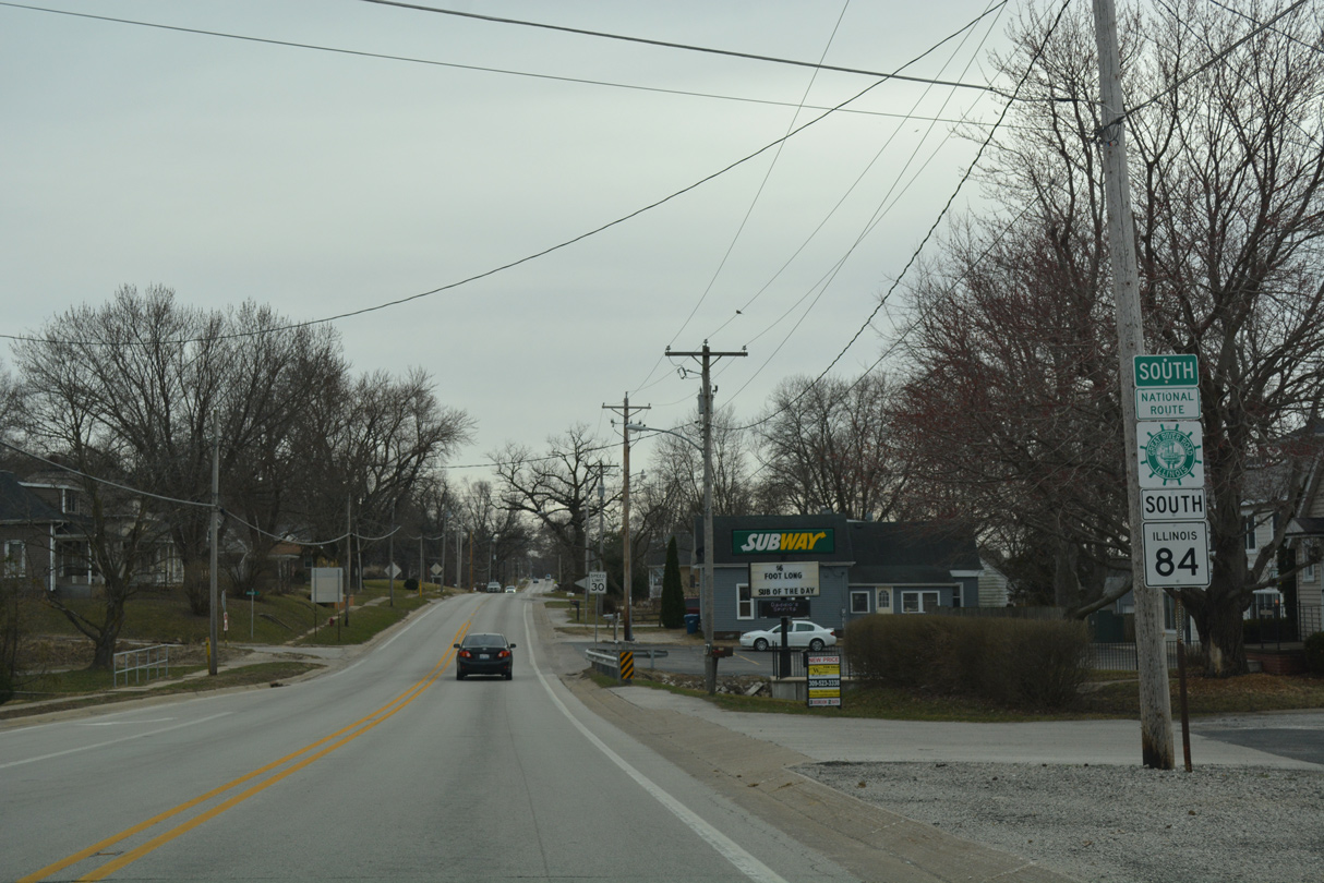
Hickory Street links IL 84 (High Street) with parallel Main Street on the north side of the Port Byron business district.
03/12/17
County Road DD and P-15 tie into IL 84 at the south end of Port Byron from 71sth Avenue North / Barber Creek Road. A confirming marker for IL 84 stands just south of the intersection.
03/12/17
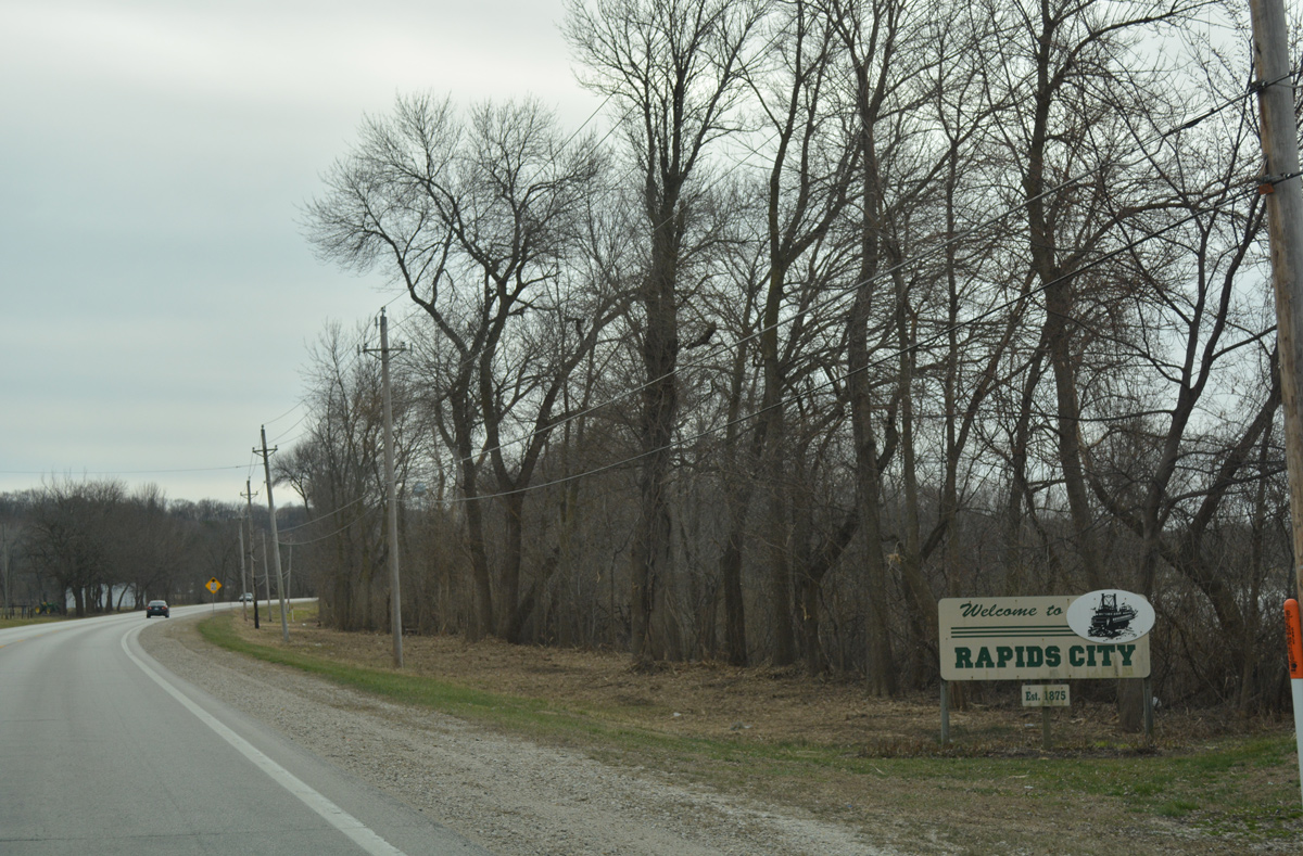
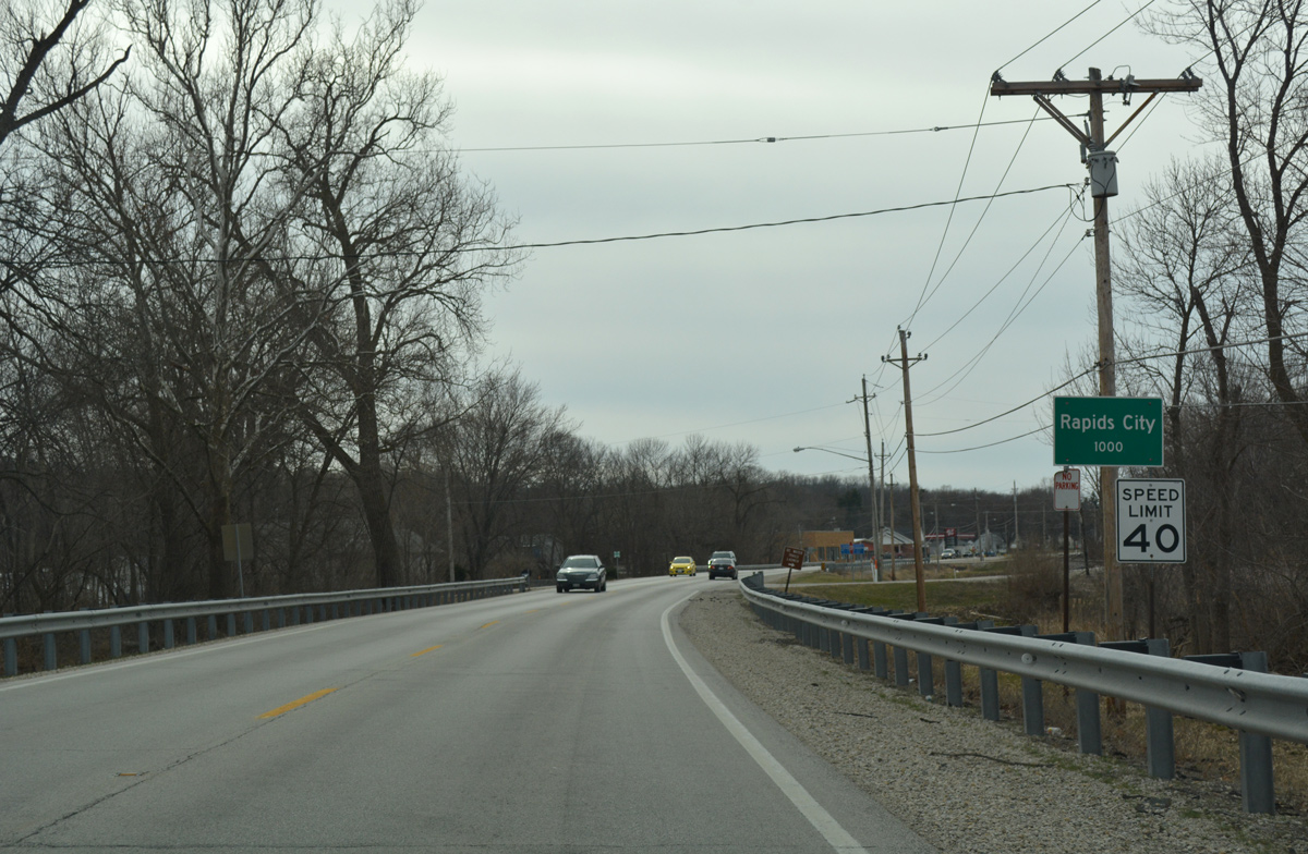
IL 84 begins a gradual southwesterly curve, crossing into the village of Rapids City from Port Byron.
03/12/17
Progressing westward along 2nd Avenue through Rapids City, IL 84 emerges from a short business strip and expands to four lanes ahead of Interstate 80.
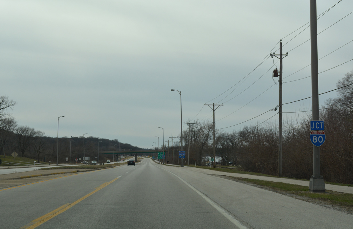
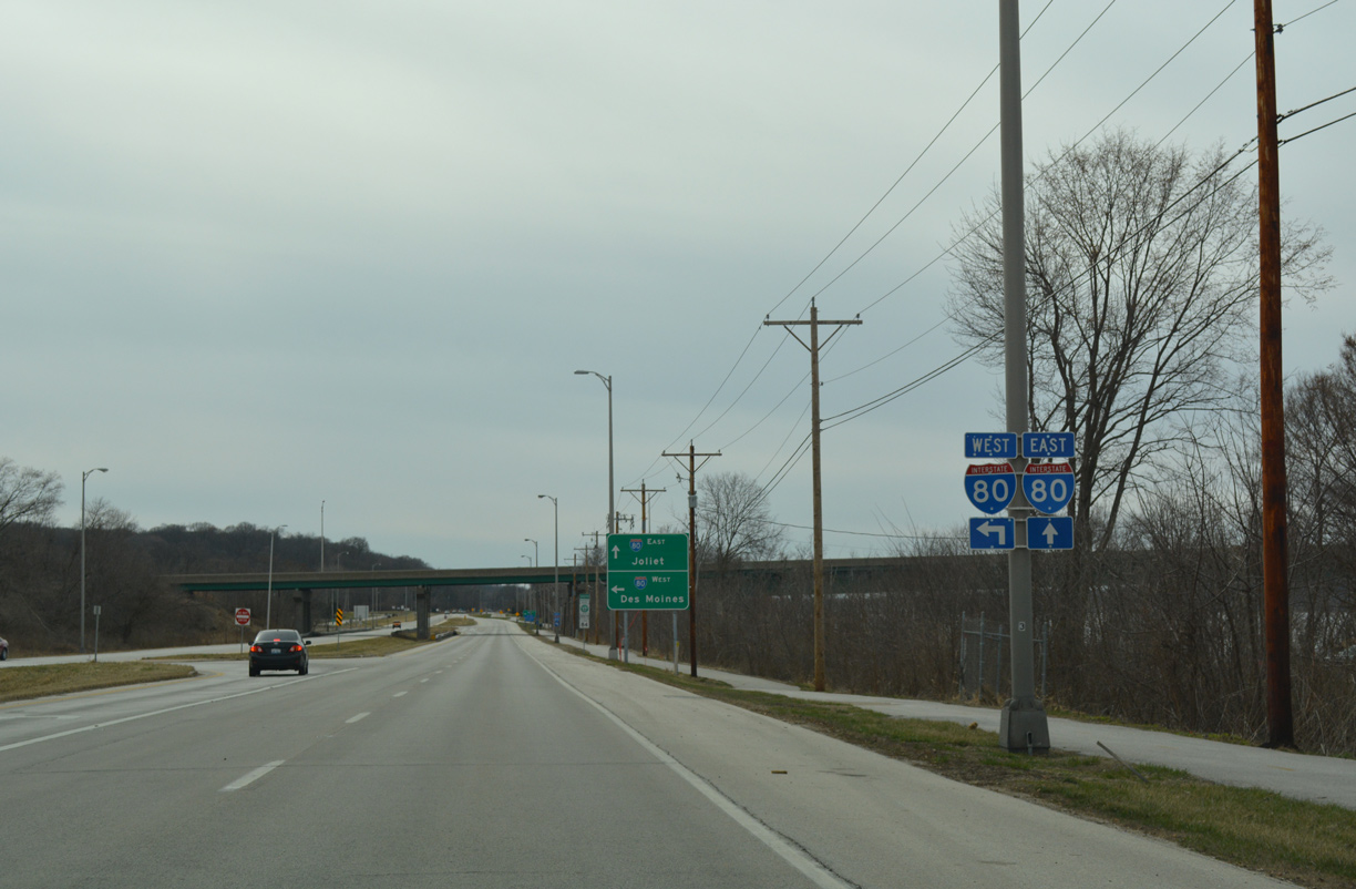
03/12/17

IL 84 and Interstate 80 converge at a folded diamond interchange just west of the Rapids City village line along the east banks of the Mississippi River
03/12/17
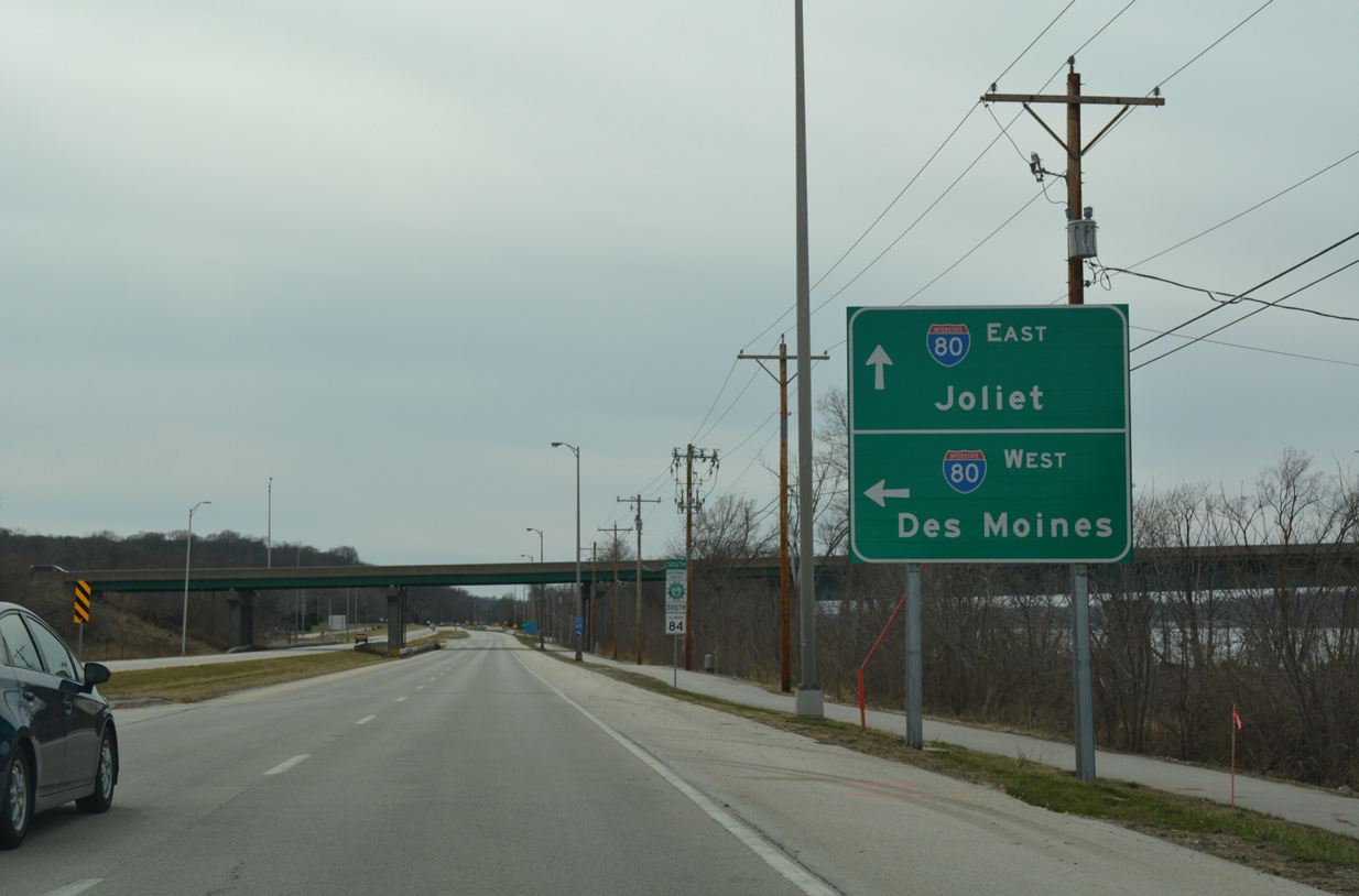
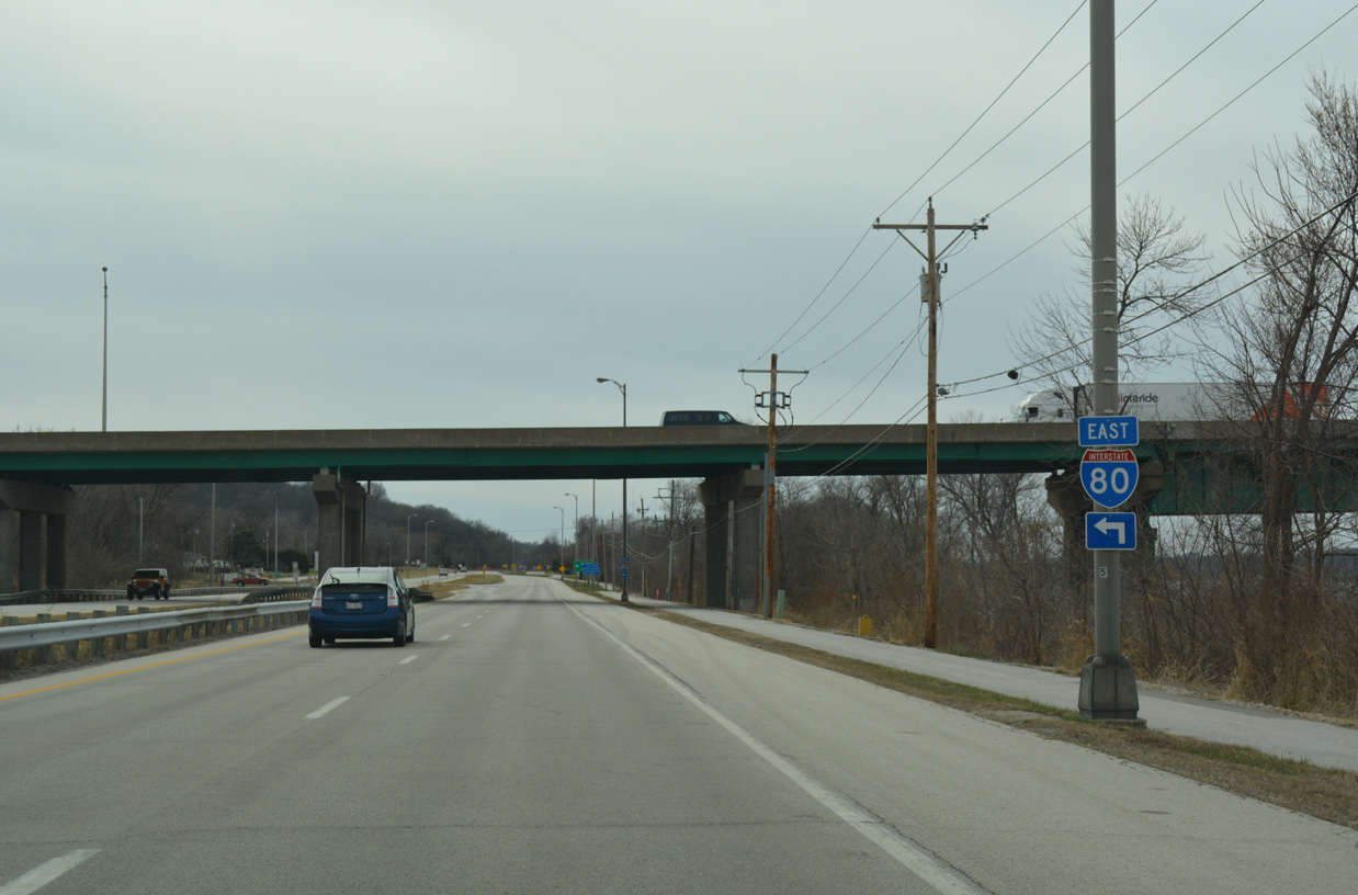
A loop ramp joins I-80 westbound across the Fred Schwengel Memorial Bridge into Le Claire, Iowa. The freeway runs across the north side of Bettendorf and Davenport en route to Iowa City and Des Moines.
03/12/17

An EF-2 tornado struck the area between Rapids City and the neighboring village of Hampton on the evening of March 15, 2016. Injuring ten people, the tornado tracked 4.8 miles from East Moline to northern Rock Island County, damaging 40 homes and destroying another four. With peak winds of 130 mph, the tornado toppled several trees and at least one guide sign at the exchange joining I-80 with IL 84.1
03/12/17
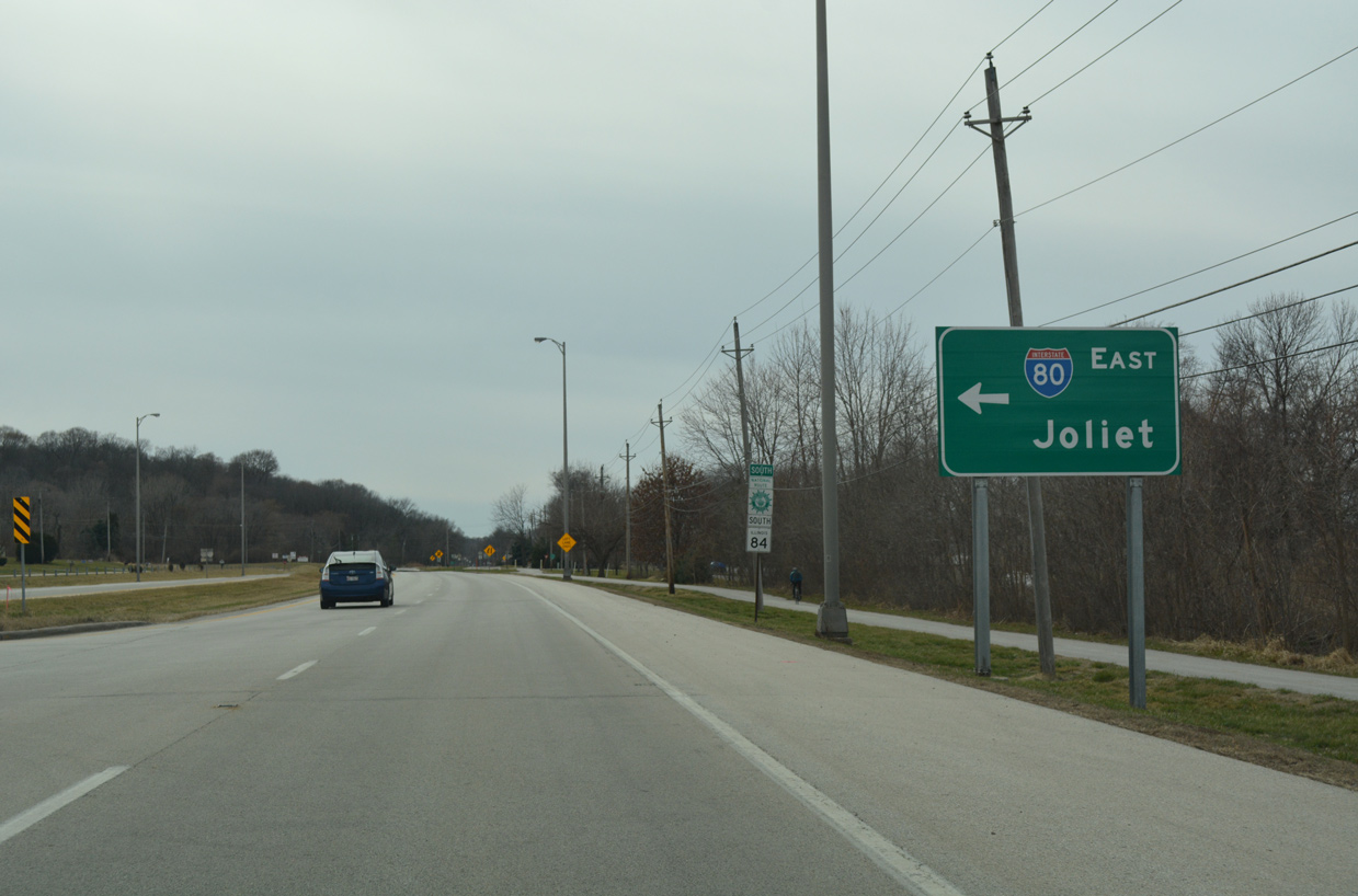
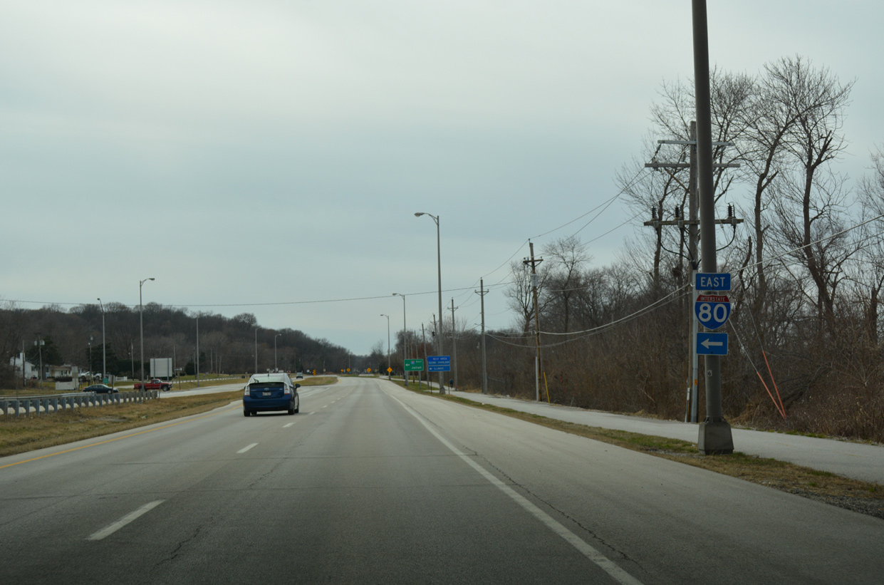
Interstate 80 travels south from IL 84 and Rapids City to East Moline, Colona and the Big X interchange with I-74/280. The freeway joins the Quad Cities with Joliet and the south Chicago suburbs.
This guide sign replaced one with Clearview font.
03/12/17
IL 84 reverts to two lanes beyond I-80 as it continues between the Mississippi River bluffs and the adjacent BNSF Railroad to the Illiniwek Forest Preserve.
03/12/17
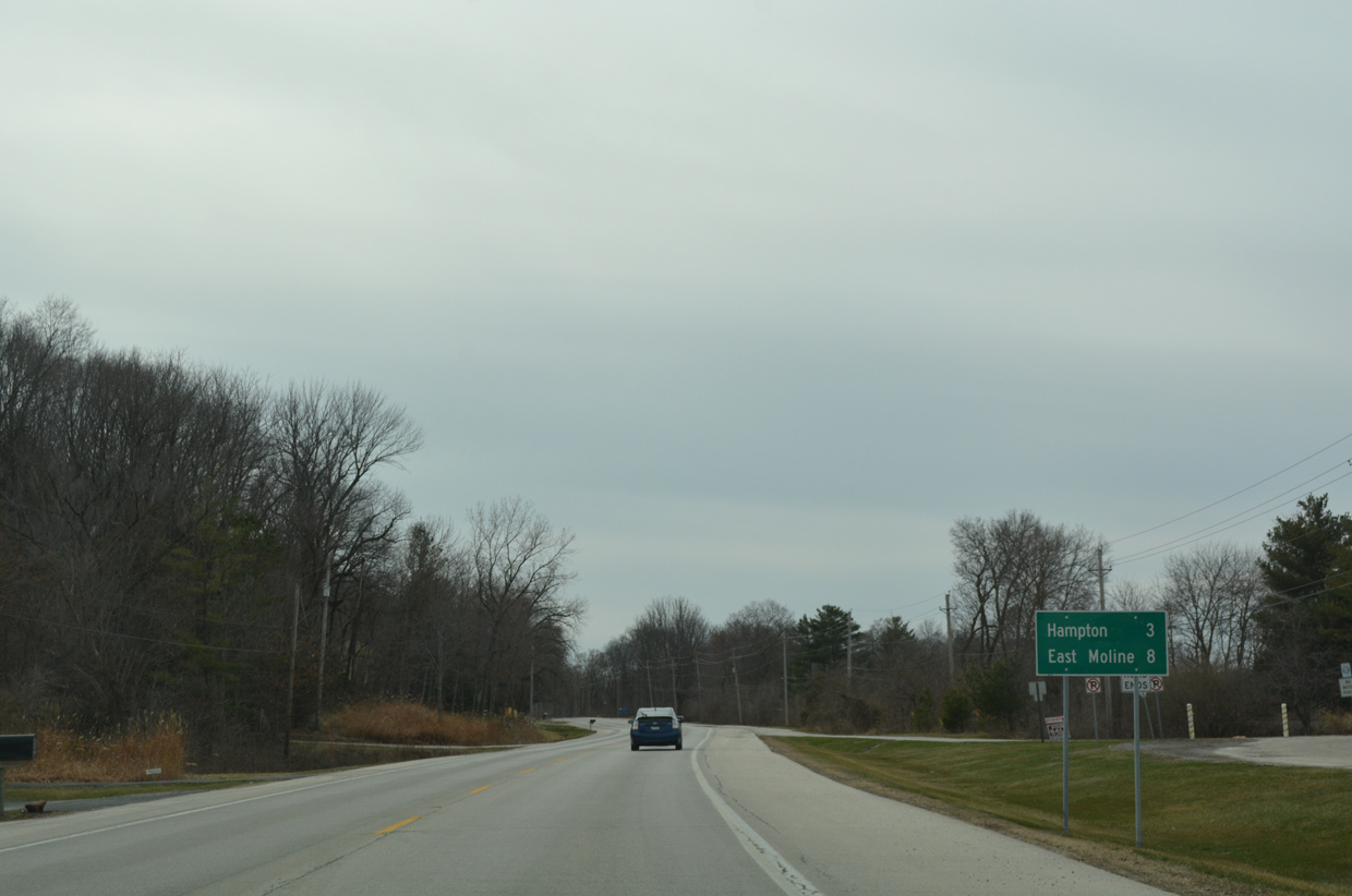
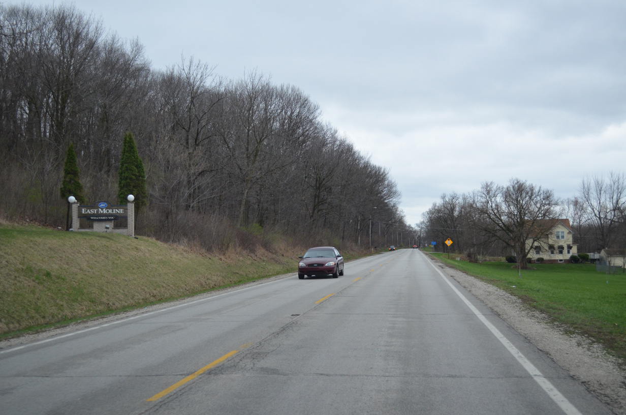
Still listed at eight miles way, IL 84 south enters the East Moline city limits in 3.5 miles. The East Moline city center lies six miles to the southwest via IL 92.
03/12/17

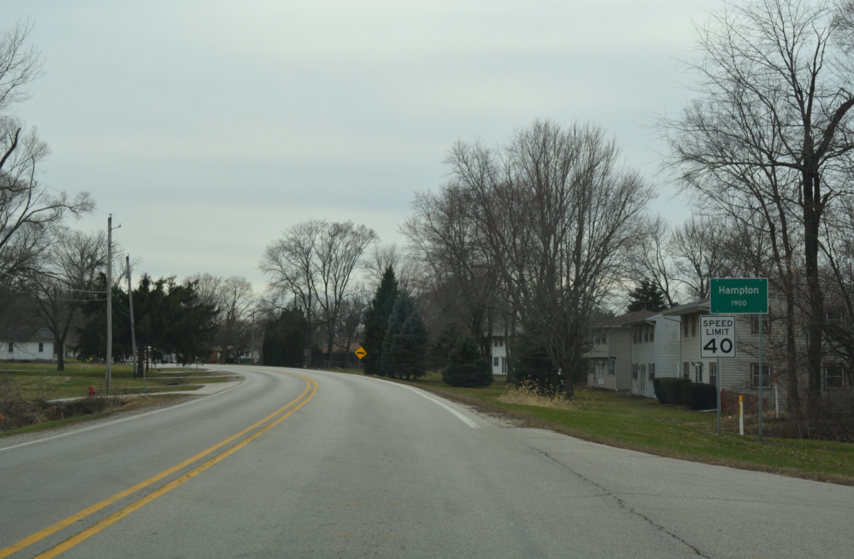
Advancing west, IL 84 reaches the village of Hampton by the Elton E. Fawks Bald Eagle Refuge.
03/31/16
Curving south along the course of the Mississippi River, IL 84 runs between the Hampton street grid and the bluff line on State Avenue.
03/12/17
County Road N climbs eastward from IL 84 (State Avenue) and 5th Street to subdivisions above the bluff line. 158th Street North leads the route south to Babcock and IL 5/92.
03/31/16
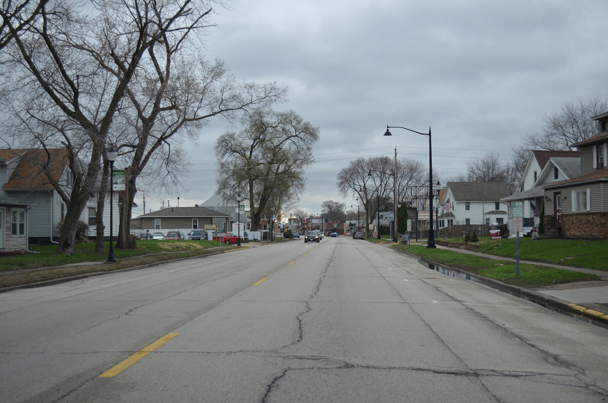
Crossing the East Moline city line, IL 84 (State Avenue) becomes North 20th Street.
03/31/16
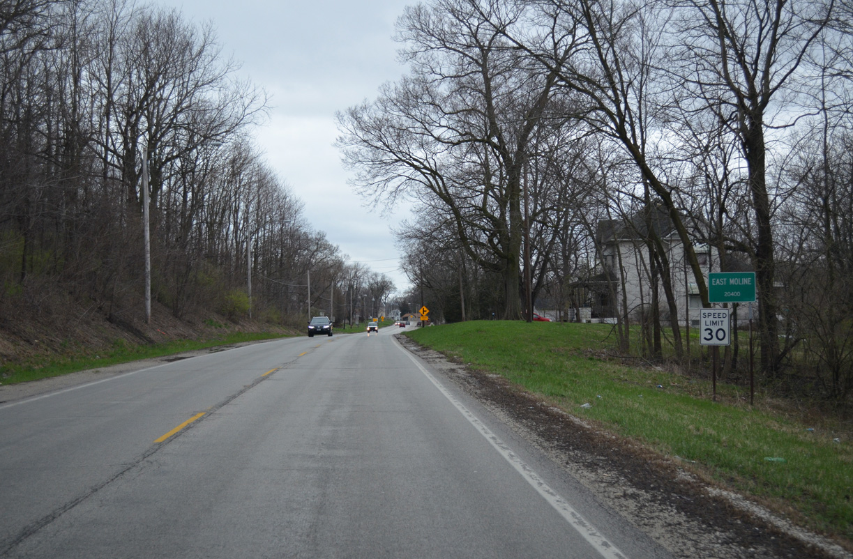
The speed limit reduces to 30 miles per hour as IL 84 (N 20th Street) reaches the East Moline residential street grid.
03/31/16
Reassurance markers are posted in both directions of IL 84 at the intersection with the 19th Street causeway onto Campbells Island.
03/31/16
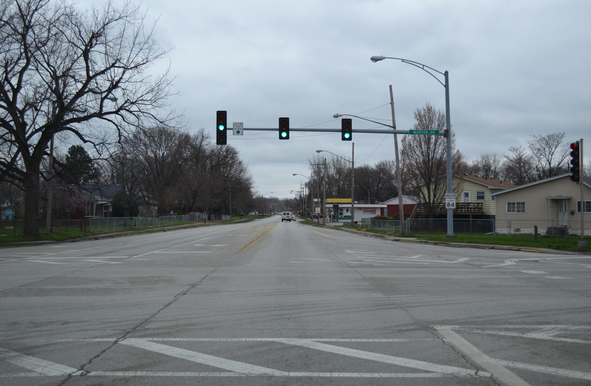
IL 84 shifts onto 19th Street south away from the Mississippi River. Continuing south, the state route intersects Morton Drive. Morton Drive angles northwest to the John Deere Harvester Works plant and east to the IL 5/92 expressway.
03/31/16
South across a BNSF Railroad line, IL 84 (19th Street) advances to IL 92 (18th Avenue west / 1st Avenue east).
03/31/16
IL 92 joins Rock Island, Moline, East Moline and Silvis along an urban route west to the Centennial Expressway and east to IL 5 at Carbon Cliff.
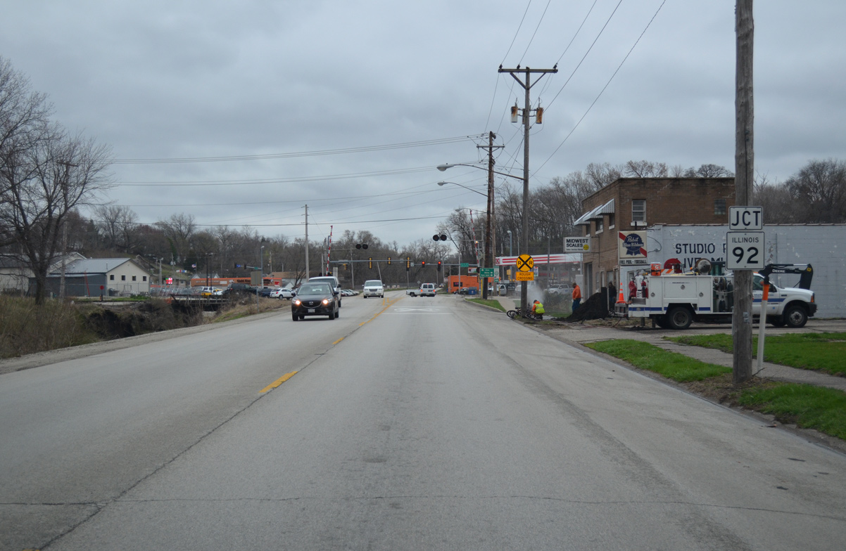
03/31/16
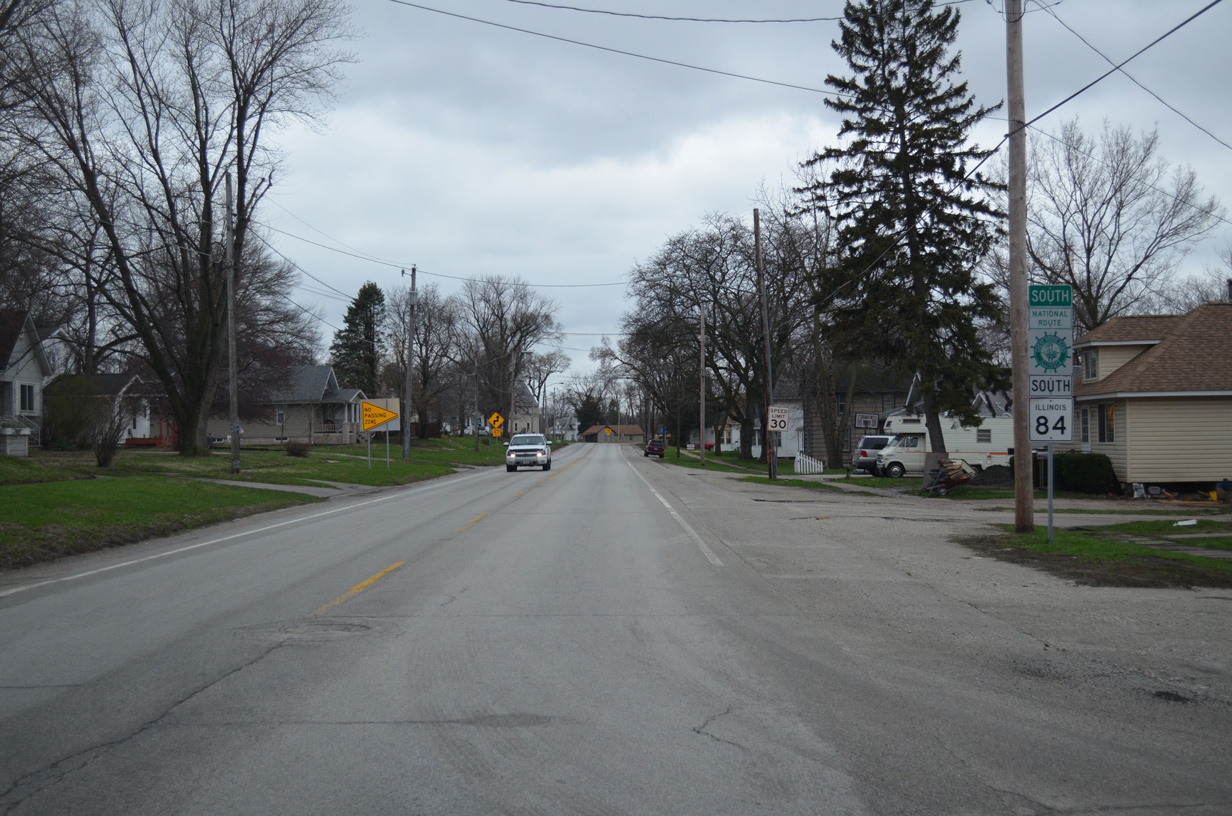
The Great River Road National Route accompanies IL 92 west through Downtown East Moline and overall to Muscatine, Iowa. The Great River Road historically followed what was IL 2 (19th Street) south and west to U.S. 67 at Rock Island.
03/31/16
South  East
East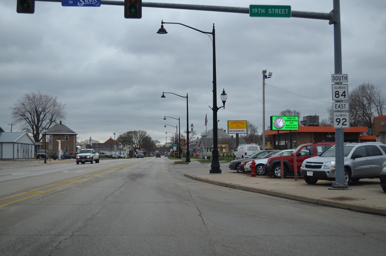
IL 84/92 overlap for 1.3 miles along 1st Avenue east to IL 5.
03/31/16
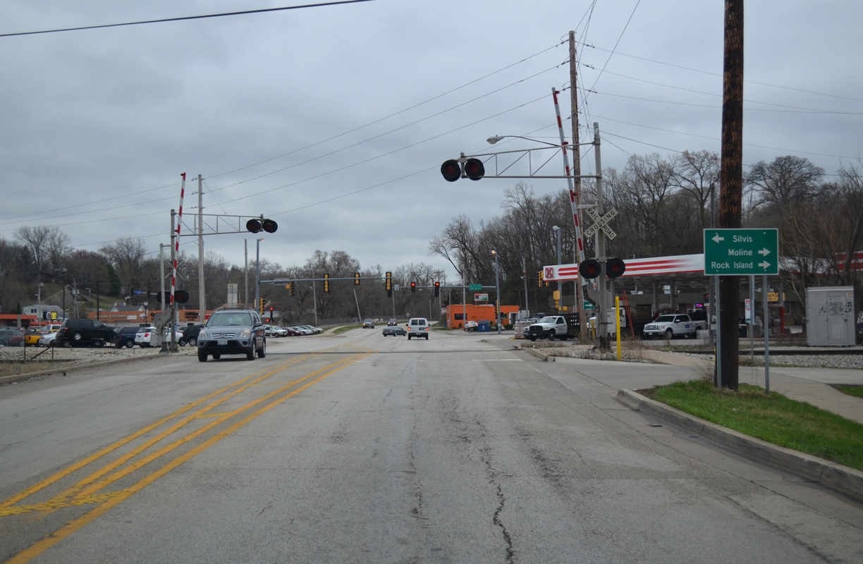
IL 84/92 (1st Avenue) east run through the Silvis city center south of the nearby IAIS and Iowa Interstate Railroad lines. The residential street grid spreads to the south on the adjacent hillside.
03/31/16
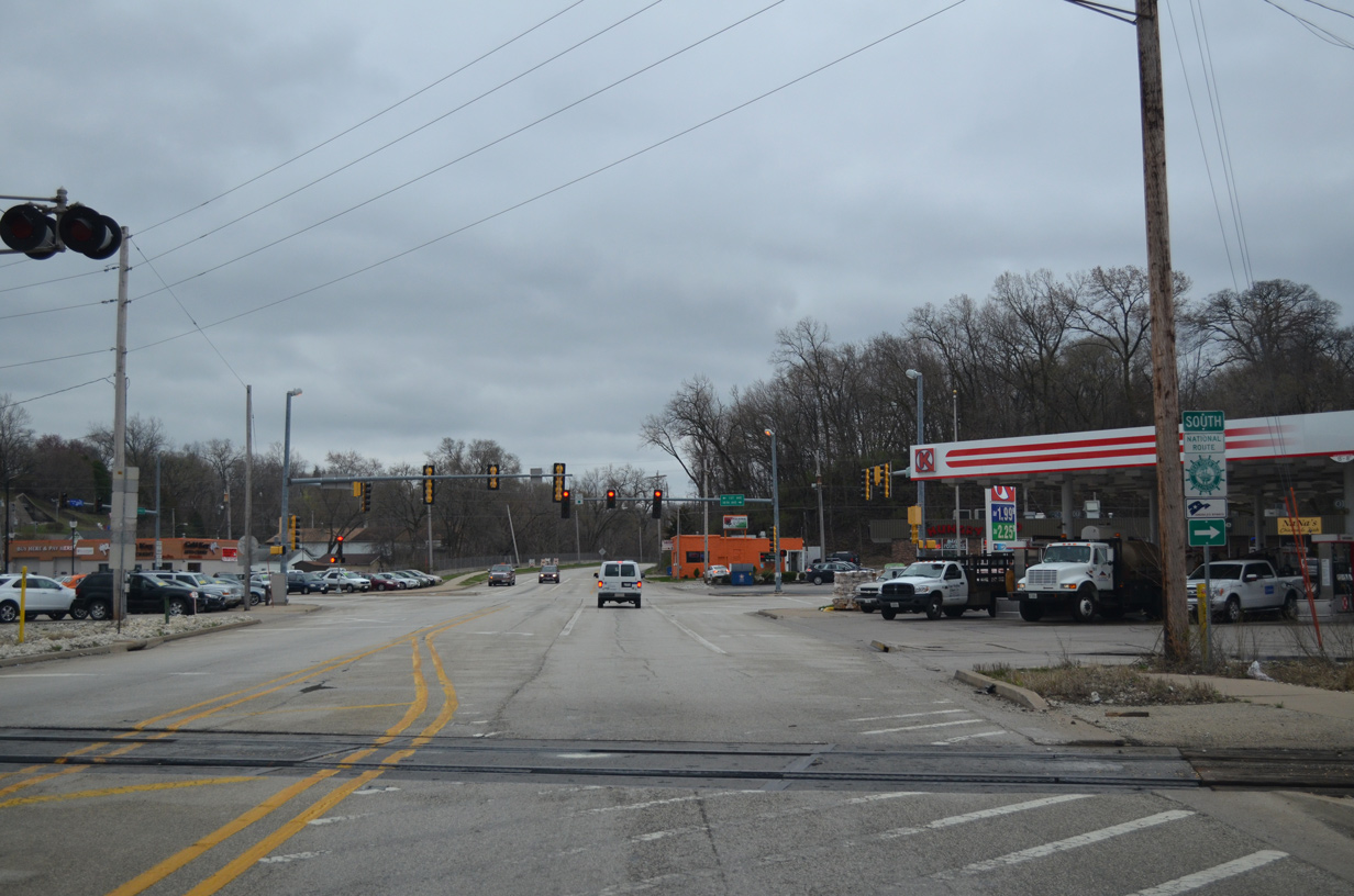
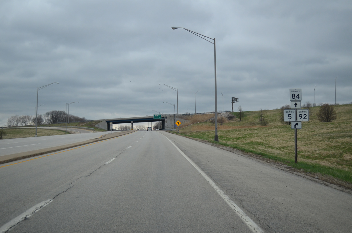
Curving southward, IL 84/92 expand to four lanes through the parclo interchange with the IL 5 (John Deere Expressway).
03/31/16
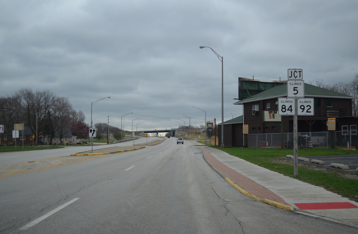
IL 92 east splits with IL 84 (2nd Avenue) south to combine with IL 5 east along an expressway through outer reaches of the East Moline city limits.
03/31/16
A loop ramp takes IL 92 east onto IL 5 (John Deere Expressway) east. IL 5 ends in 3.2 miles at the transition to I-88, while IL 92 extends another 61.3 miles to U.S. 34 at La Moille.
03/12/17
South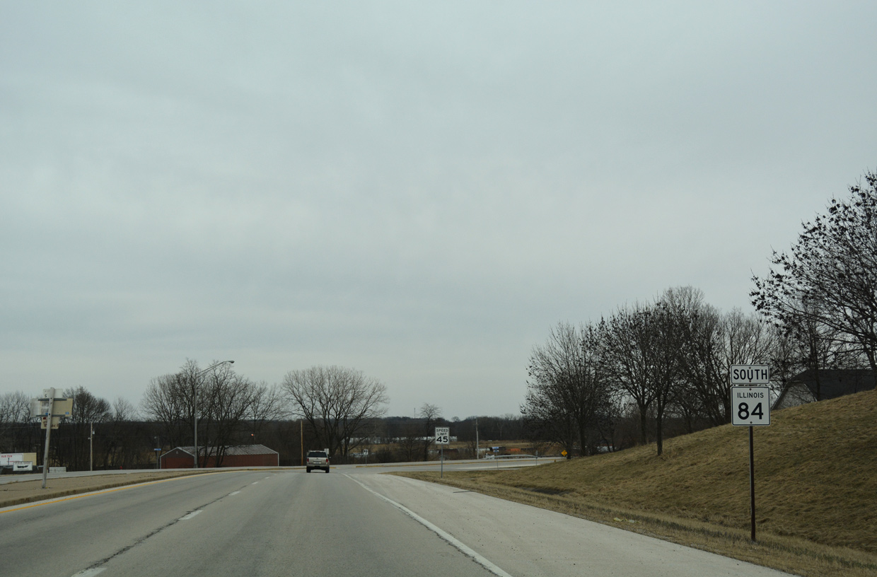
IL 84 (2nd Avenue) turns southward from IL 5/92 through the village of Carbon Cliff.
03/12/17
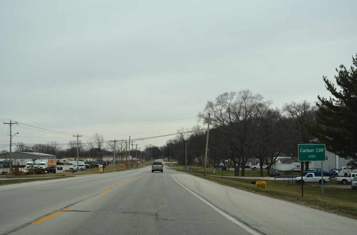
The state route narrows to two lanes through Carbon Cliff. A series of residential streets tie into the east side of IL 84 (2nd Avenue) while forested bluffs rise to the west.
03/12/17
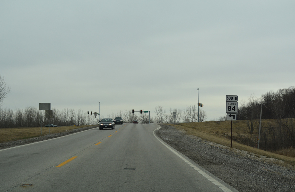
IL 84 rises from 10th Street to intersect Colona Road. A discontinuous road, 10th Street is the former alignment of IL 84 east to the Rock River.
03/12/17
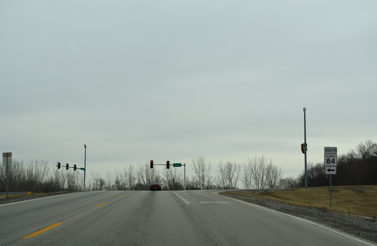
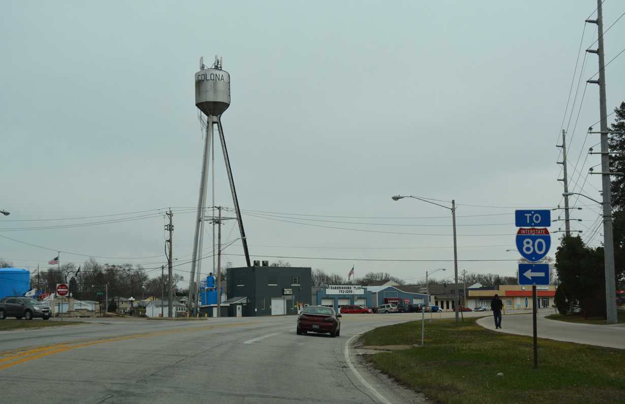
IL 84 combines with Colona Road east from Carbon Cliff to the city of Colona.
03/12/17
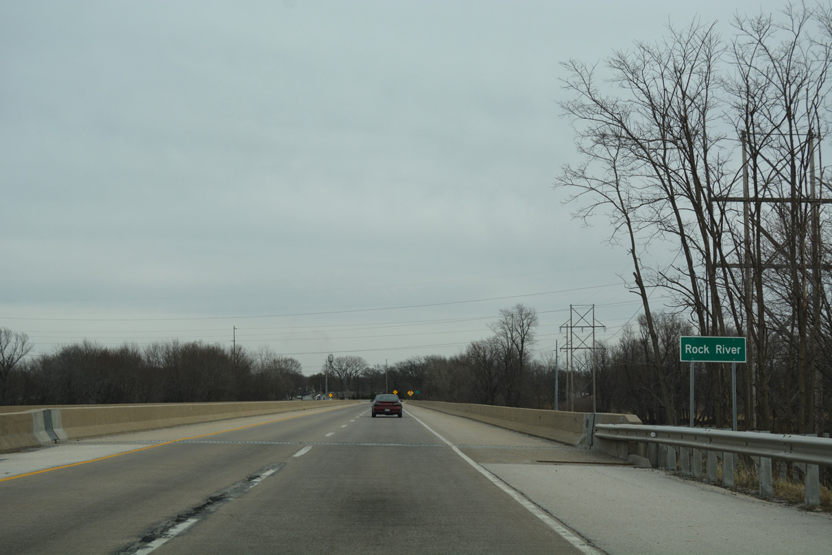
Colona Road extends east from the Avenue of the Cities in Silvis as a four lane divided highway to IL 84. IL 84 continues the highway east across the Rock River on a 1981-built span.
03/12/17
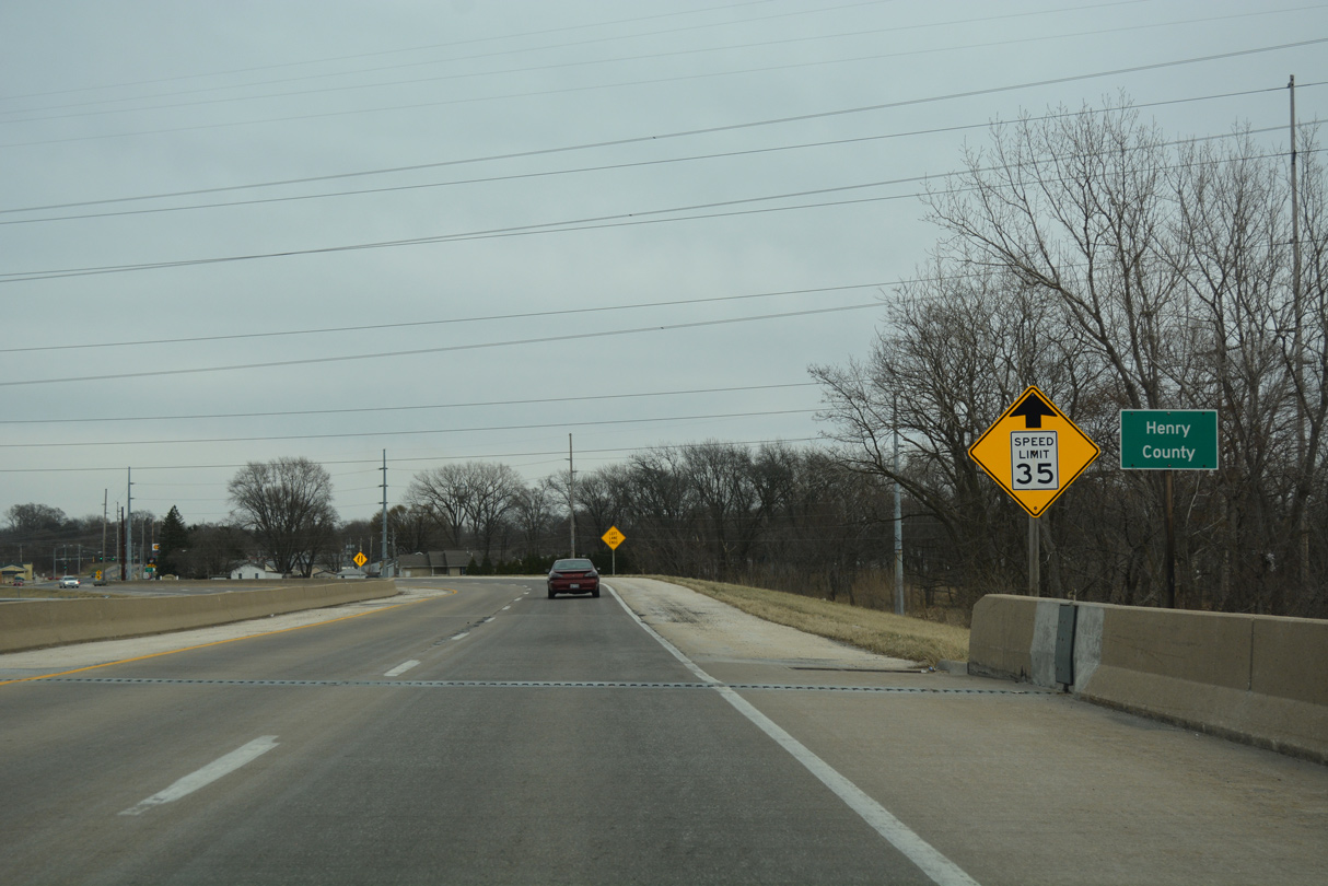
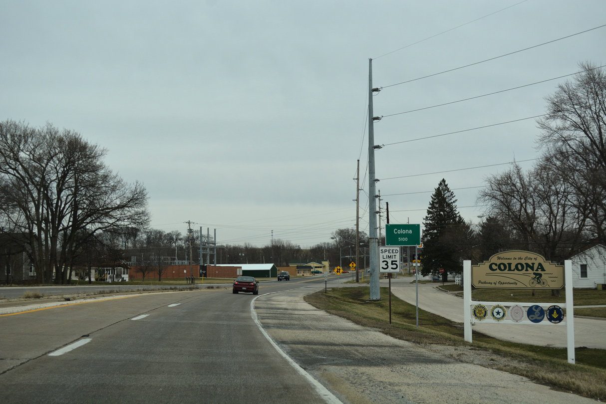
Entering Henry County, speed limits reduce and IL 84 narrows to two lanes ahead of 1st Avenue in Colona.
03/12/17
IL 84 (1st Avenue) wraps around the north side of Colona to Cleveland Road.
03/12/17
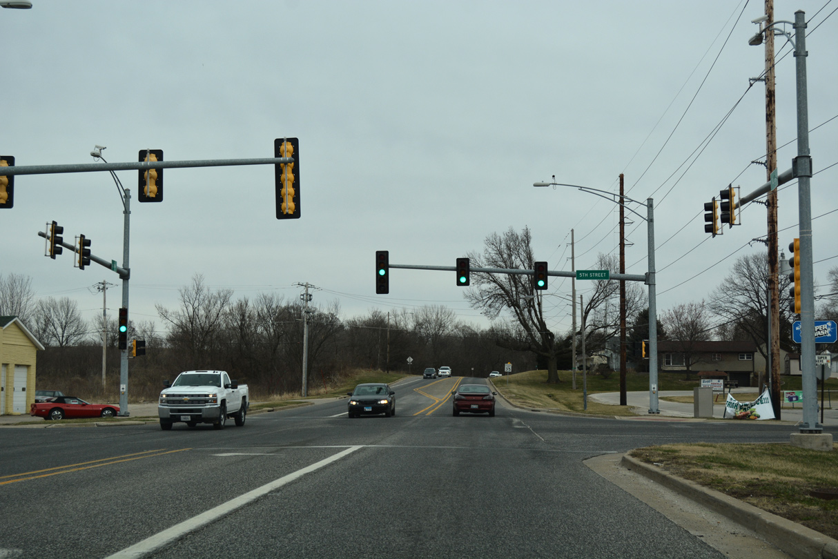
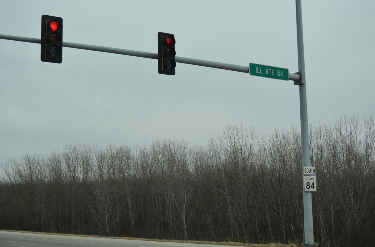
Traffic lights operate along IL 84 (1st Avenue) at 5th Street south and a mobile home park entrance to the north in Colona.
03/12/17
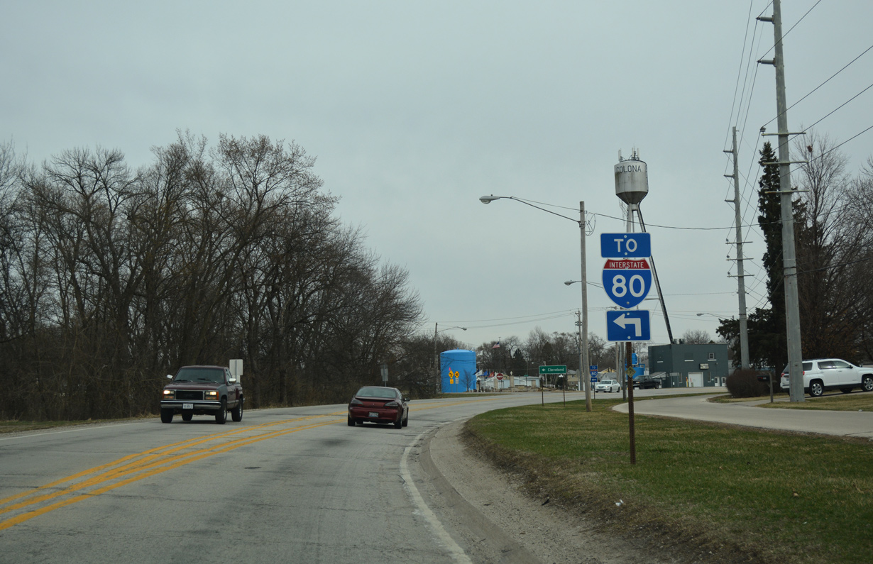
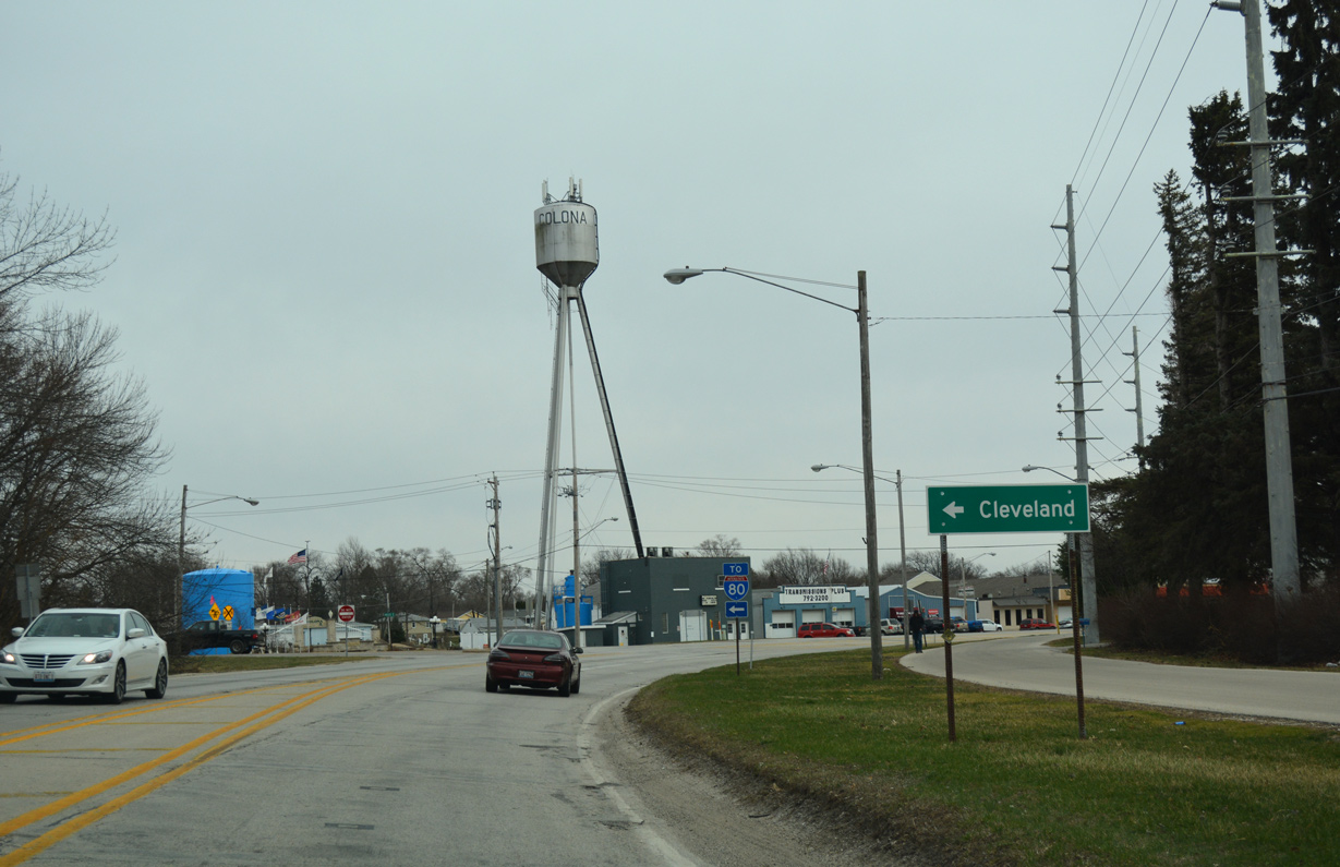
1st Avenue arcs southward to become 1st Street at the forthcoming intersection with Cleveland Road east. Cleveland Road connects the city of Colona with I-80 one mile to the east of IL 84.
03/12/17
Cleveland Road continues beyond the exchange with I-80/IL 110 (CKC) to the village of Cleveland in three miles.
03/12/17
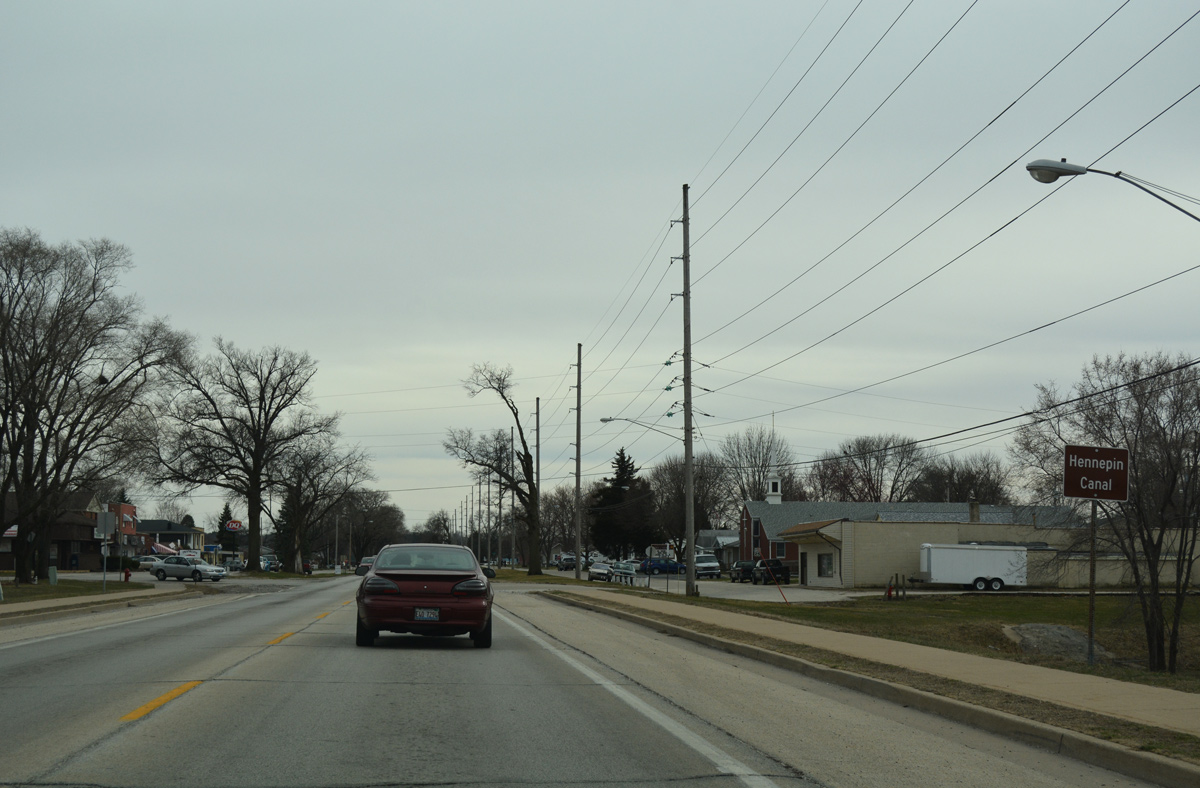
Crossing Hennepin Canal, IL 84 (1st Street) enters the Colona residential street grid.
03/12/17
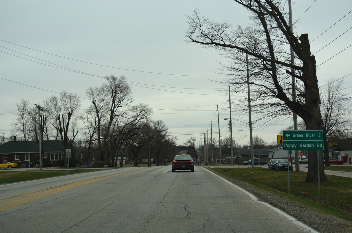
Poppy Garden Road extends east from 9th Avenue and IL 84 (1st Street) two miles to the community of Green River.
03/12/17
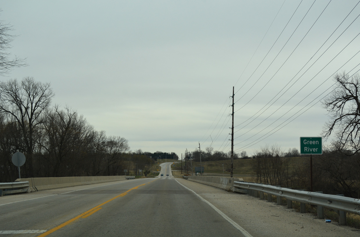
IL 84 crosses a BNSF Railroad at-grade and then spans the Green River in southern reaches of the Colona city limits.
03/12/17
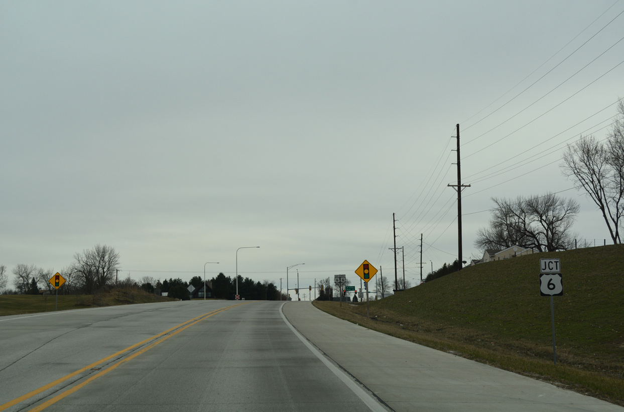
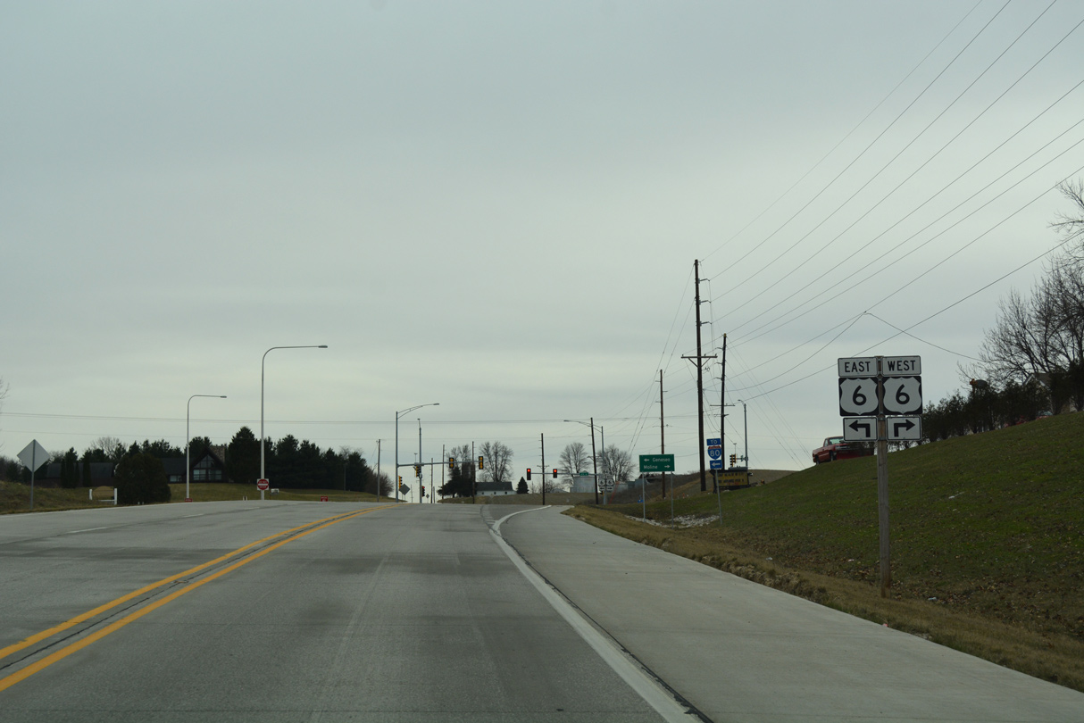
Advancing 0.6 miles south from Green River, IL 84 meets U.S. 6 and E 400th Street south.
03/12/17
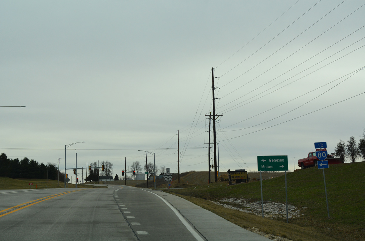
Paralleling I-74/280 to the west, U.S. 6 provides a local route from Colona to Coal Valley and Moline. East from IL 84, U.S. 6 travels a short distance north of I-80 to Geneseo.
03/12/17
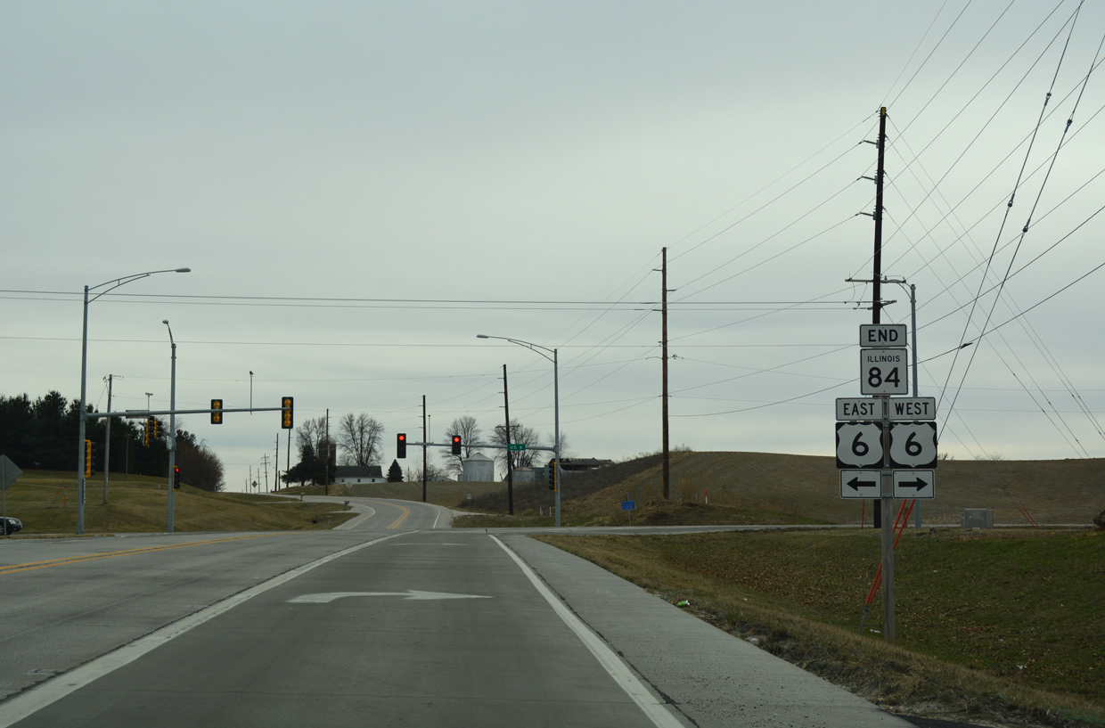
IL 84 concludes with an end shield at U.S. 6. E 400th Street South extends south from the traffic light with U.S. 6 toward the settlement of Warner.
03/12/17
References:
- "NWS: EF-2 tornado hit Rapids City area." Quad City Times (Davenport, IA), March 16, 2016.
Photo Credits:
- Alex Nitzman, Bill Gatchel: 03/12/17
- Alex Nitzman: 03/31/16
Connect with:
Page Updated Tuesday May 15, 2018.