
Highway 1090
LA 1090 is a 4.52 mile long highway through unincorporated areas northeast of Slidell. LA 1090 extends Military Road north from U.S. 190, which turns west along Gause Boulevard into Slidell. Spanning Interstate 10 with no access, LA 1090 proceeds north along Gum Bayou toward Haaswood and the town of Pearl River. The state highway concludes at the diamond interchange joining U.S. 11 (Concord Boulevard) with Interstate 59. Prior to the realignment of U.S. 11 from Main Street onto I-59, LA 1090 continued further northwest to LA 41 at U.S. 11.
 North
North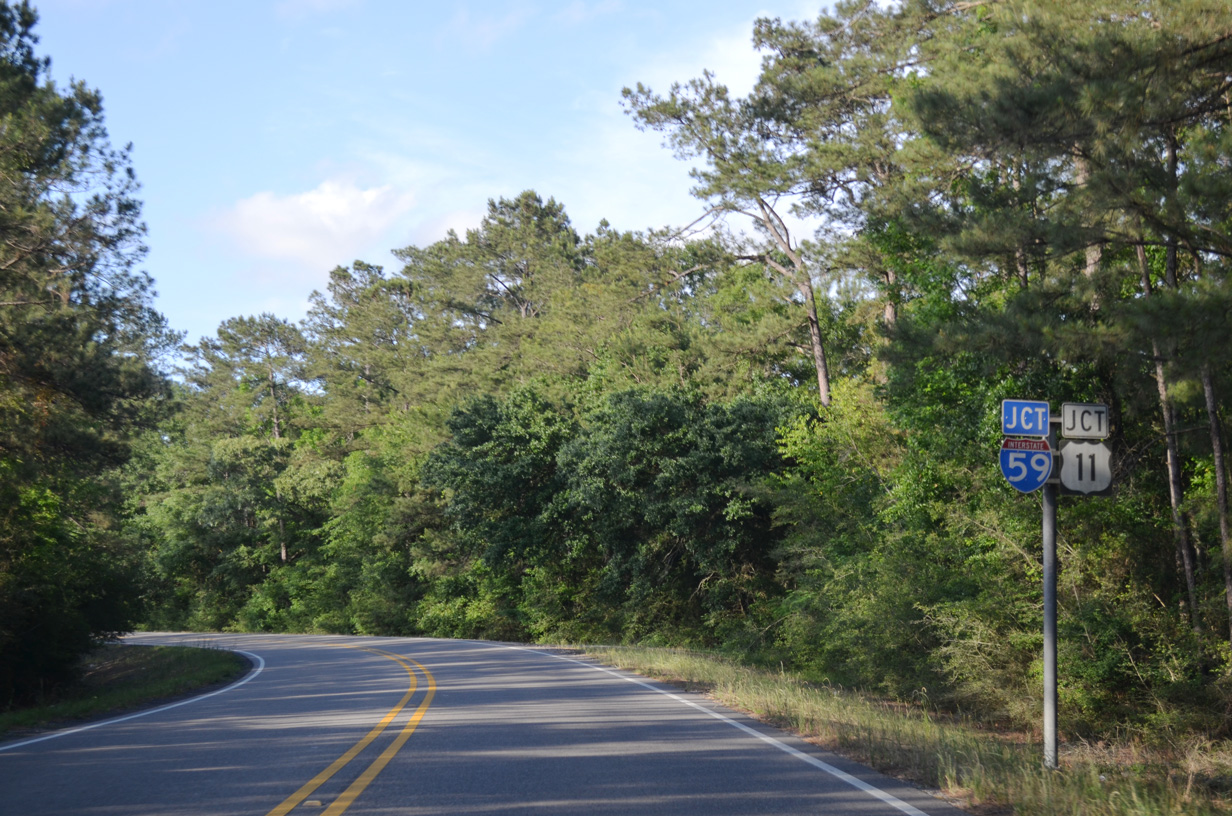
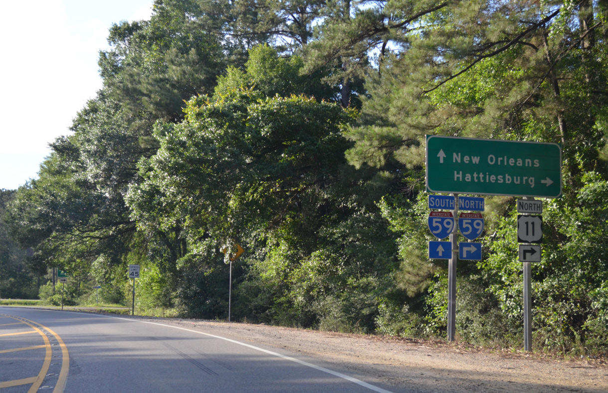
LA 1090 (Military Road) navigates through an S-curve leading into the exchange with Interstate 59 and U.S. 11 west of Bradley Hammock.
05/09/15
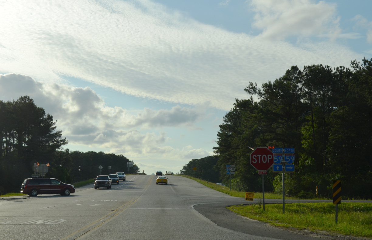
U.S. 11 combines with Interstate 59 north LA 1090 (Military Road) and Pearl River to MS 607 at Nicholson.
05/09/15
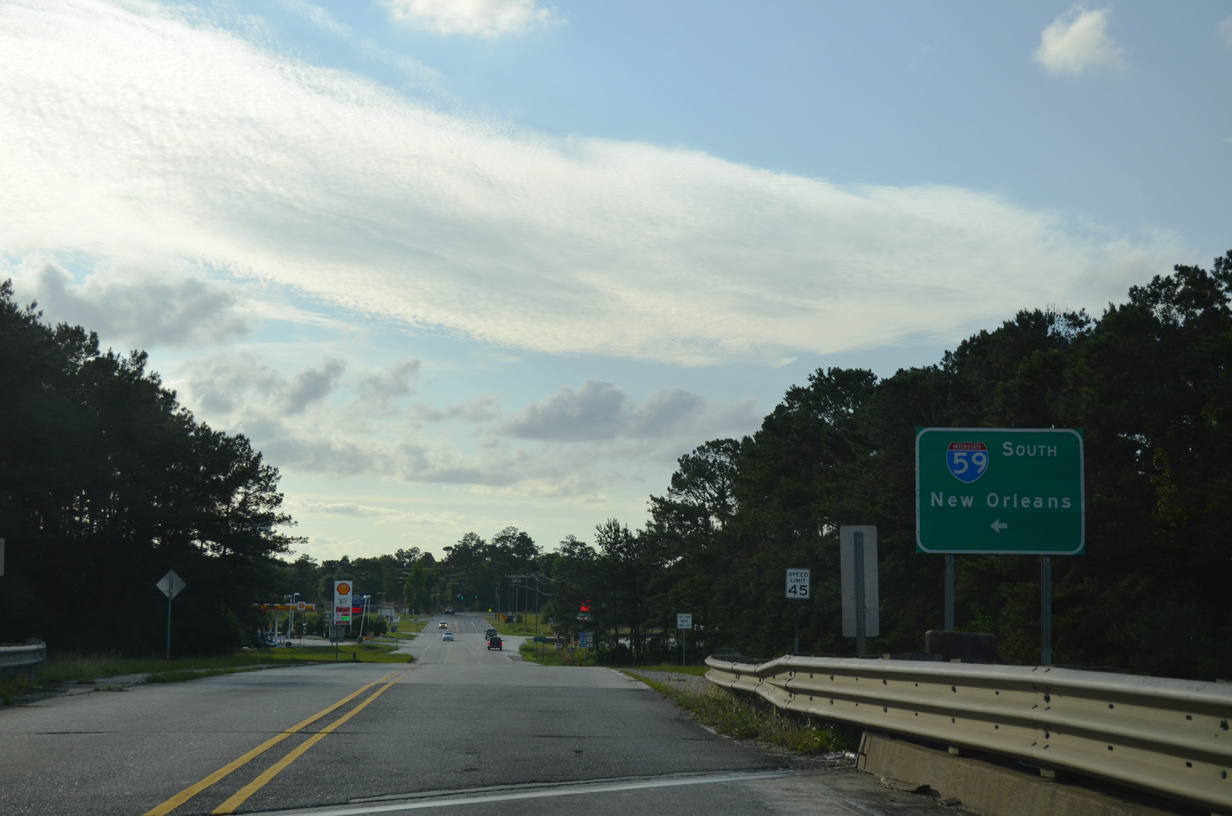
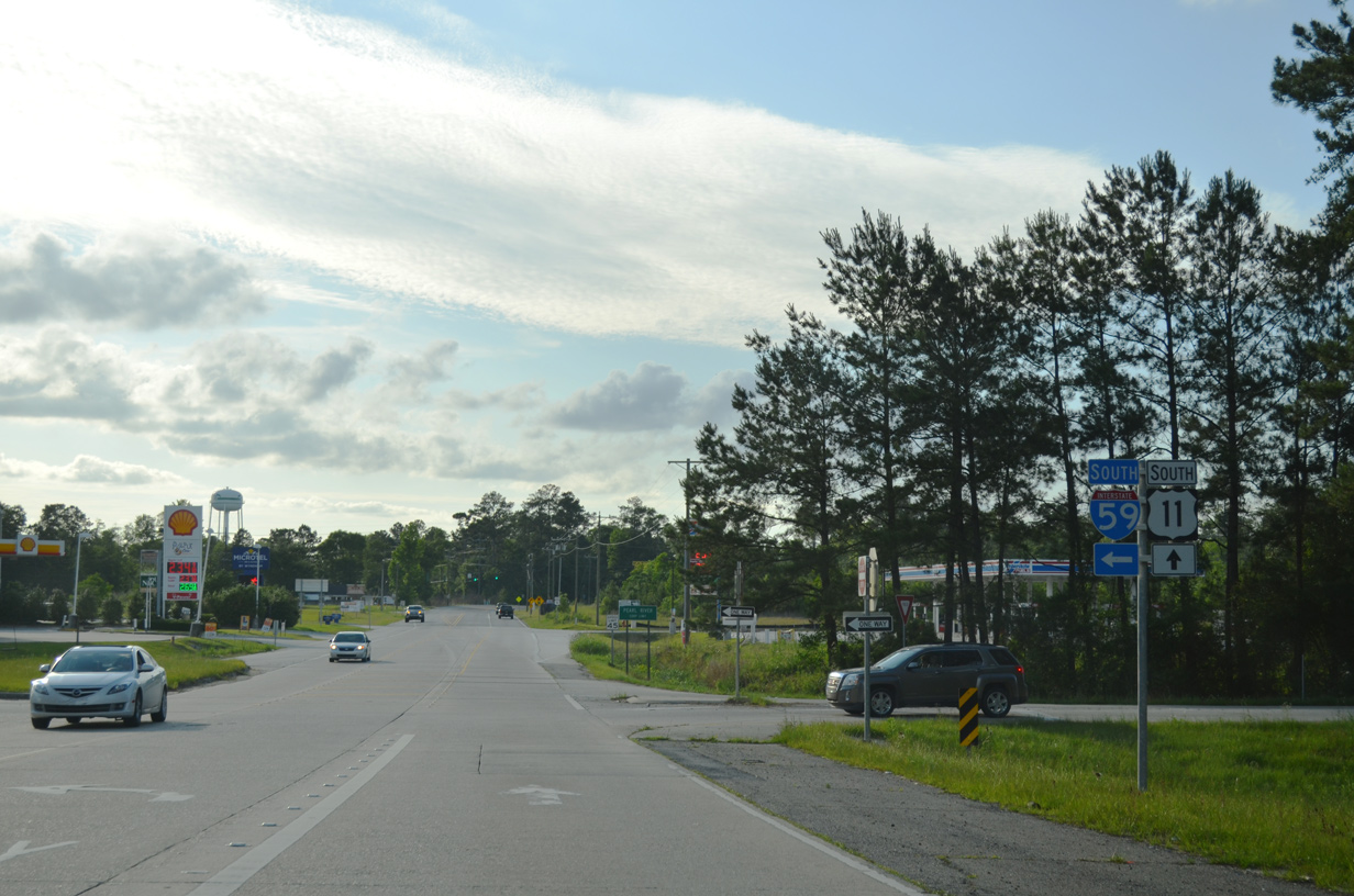
U.S. 11 southbound follows Concord Boulevard from Interstate 59 and LA 1090 three quarters of a mile northwest to LA 41 (Watts Road) and LA 3081 (Main Street) in Pearl River.
05/09/15
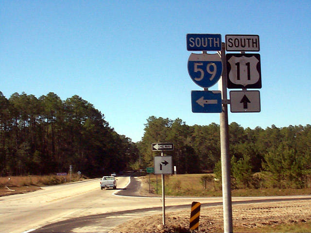
These vintage shields at the southbound entrance ramp from LA 1090 to Interstate 59 were replaced by October 2003.
11/06/99
South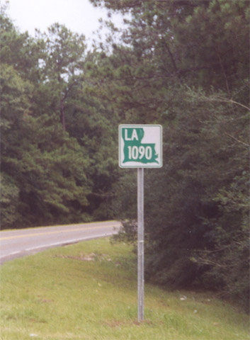
The first confirming marker for LA 1090 along Military Road southbound.
June 2001
Photo Credits:
- Alex Nitzman: 11/06/99, 05/09/15
- AARoads: June 2001
Connect with:
Page Updated Friday March 29, 2019.