
U.S. 11


U.S. 11 travels from Powers Junction in New Orleans to Slidell, Pearl River and Nicholson, Mississippi. The two lane route parallels Interstate 10 north along the Maestri (Five Mile) Bridge across Lake Pontchartrain from Irish Bayou, and parallels or overlaps with I-59 northward from Pearl River to Mississippi.
Until 1937, U.S. 11 concluded at the settlement of Santa Rosa in Hancock County, Mississippi, where then-U.S. 90 turned from Pearl River, Louisiana toward Bay St. Louis. The 1936 official Mississippi Highway map shows U.S. 11 and U.S. 90 combining southwest from Santa Rosa to Slidell and New Orleans, using what is now LA 433 between Slidell and the Rigolets, and U.S. 90 from the Rigolets westward into central New Orleans.
U.S. 90 shifted southward from its northern arc through Santa Rosa in 1937 onto the present day alignment from Pearlington, Mississippi westward to New Orleans. U.S. 11 remained along the Santa Rosa to Slidell alignment and LA 433 until June 28, 1939, when the route was realigned onto the Watson-Williams Bridge across Lake Pontchartrain.1 This resulted in a truncation of the U.S. 11/90 overlap west of Powers Junction.
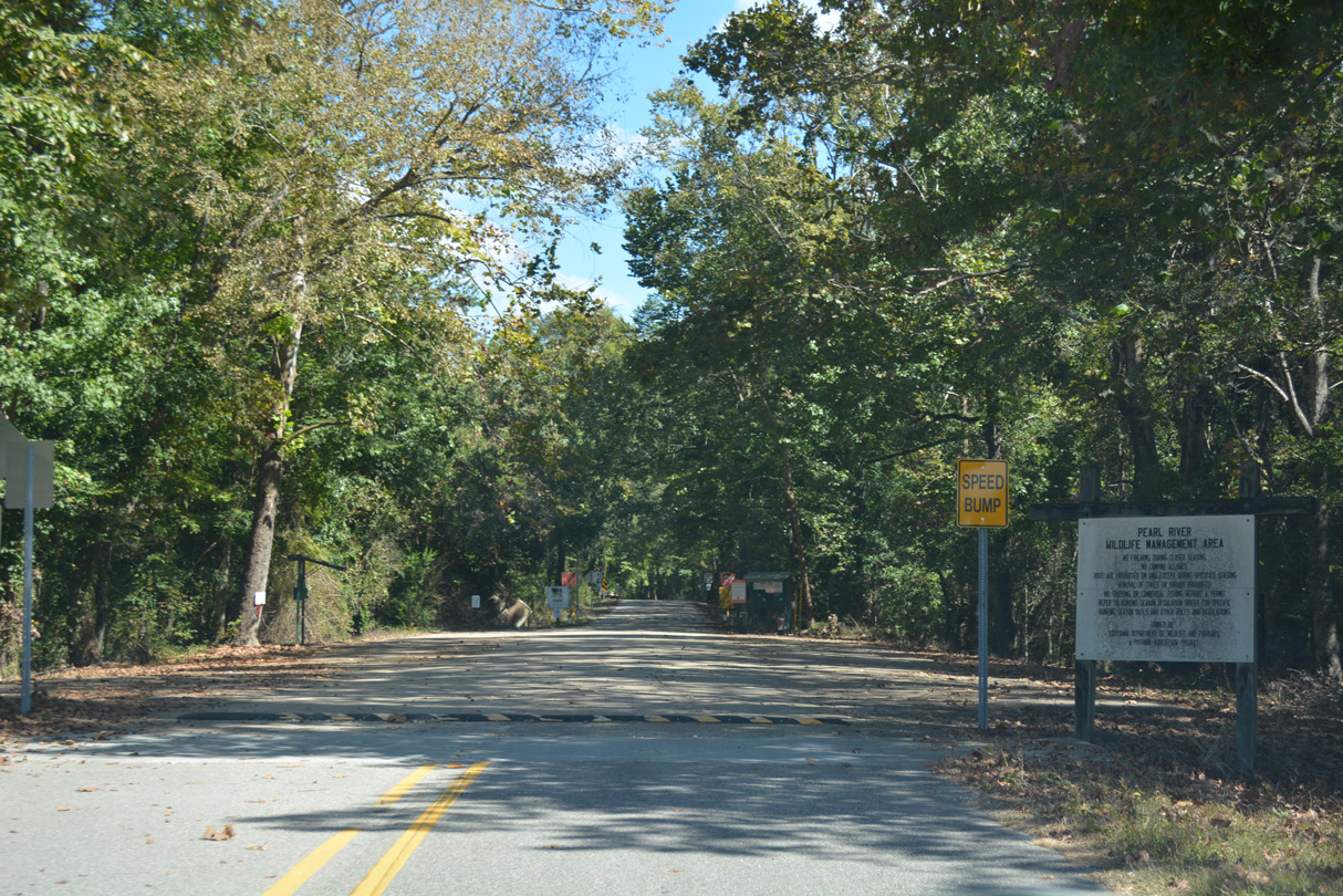
Construction of Interstate 59 in the late 1950s coincided with the relocation of U.S. 11 from Santa Rosa, Mississippi west to Pearl River by 1960. The former alignment was subsequently abandoned and repurposed as a local access road for Pearl River Wildlife Management Area. The old U.S. 11 bridge over Pearl River was demolished by the mid 1970s.2
 North
North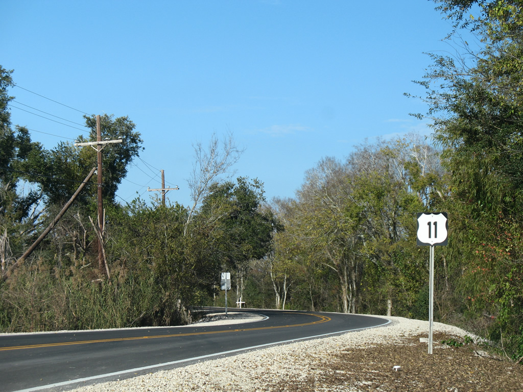
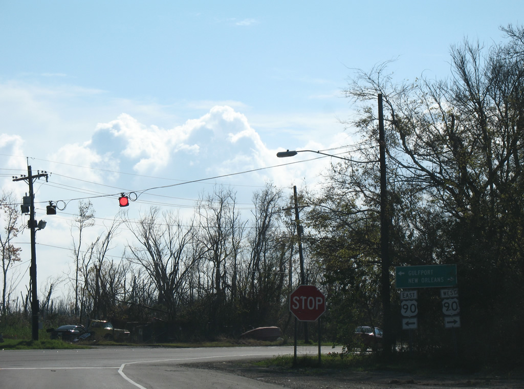
The 1,645 mile long route of U.S. 11 to Rouses Point, New York commences at Powers Junction in eastern New Orleans. The first confirming marker was posted just north of U.S. 90 along Ridgeway Boulevard. It was missing by 2016.
12/10/07
10/12/16
U.S. 11 lines a causeway north through Bayou Sauvage National Wildlife Refuge adjacent to Irish Bayou Canal.
10/12/16

Crossing the levee to Irish Bayou along U.S. 11 (Ridgeway Boulevard) northbound.
10/12/16
A number of fish camps line U.S. 11 (Ridgeway Boulevard) along adjacent Irish Bayou Canal and Little Irish Bayou to the west.
10/12/16
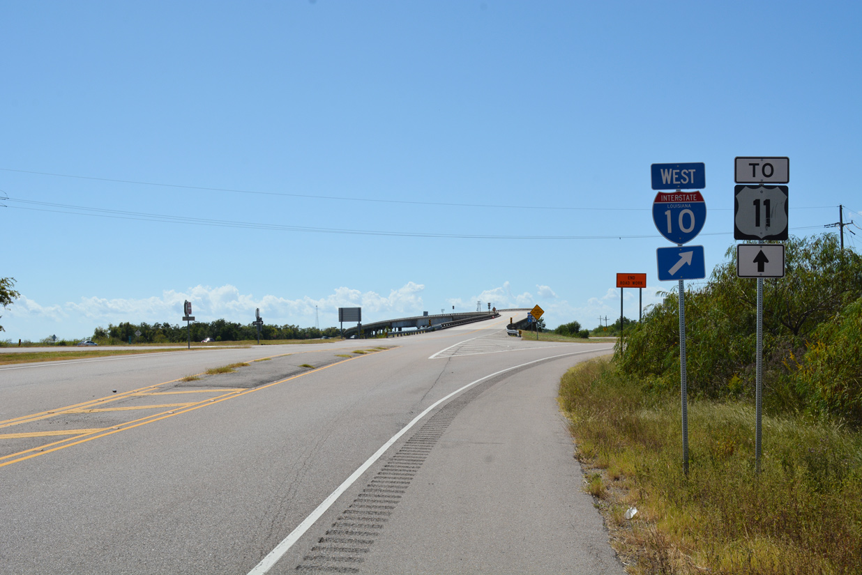
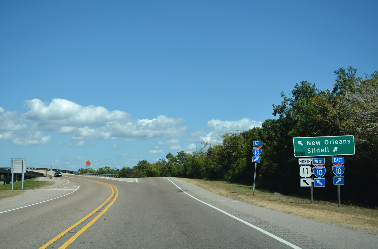
U.S. 11 passes through the settlement of Irish Bayou and meets Interstate 10 at a parclo interchange (Exit 254).
10/12/16
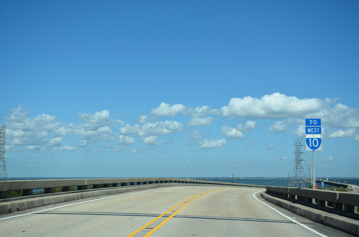
A loop ramp joins U.S. 11 north with Interstate 10 west into New Orleans.
10/12/16
Opened in 1928 as a toll bridge, the Maestri Bridge / Five Mile Bridge takes U.S. 11 across Lake Pontchartrain between Point aux Herbes and Slidell.
10/12/16
12/10/07
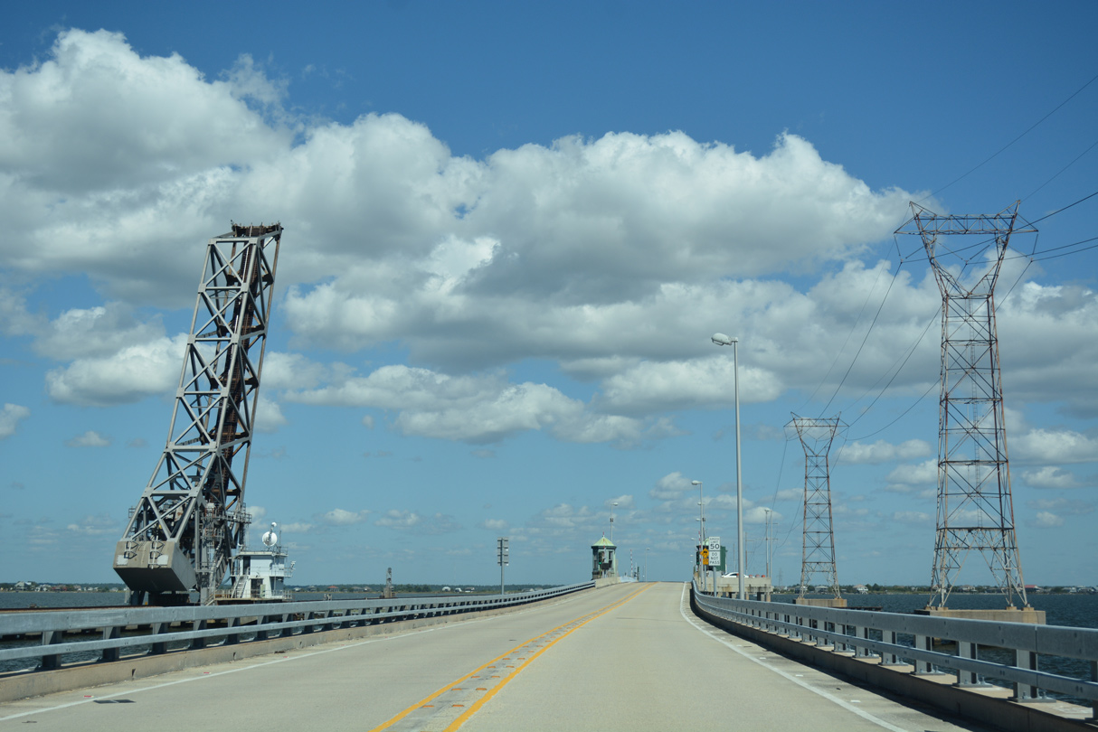
The first of two draw spans along the Maestri Bridge is located a short distance north of Point aux Herbes.
10/12/16
12/10/07
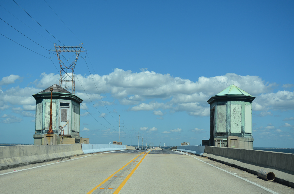
The first of two draw spans along the Five Mile Bridge is located a short distance north of Point aux Herbes.
12/10/07
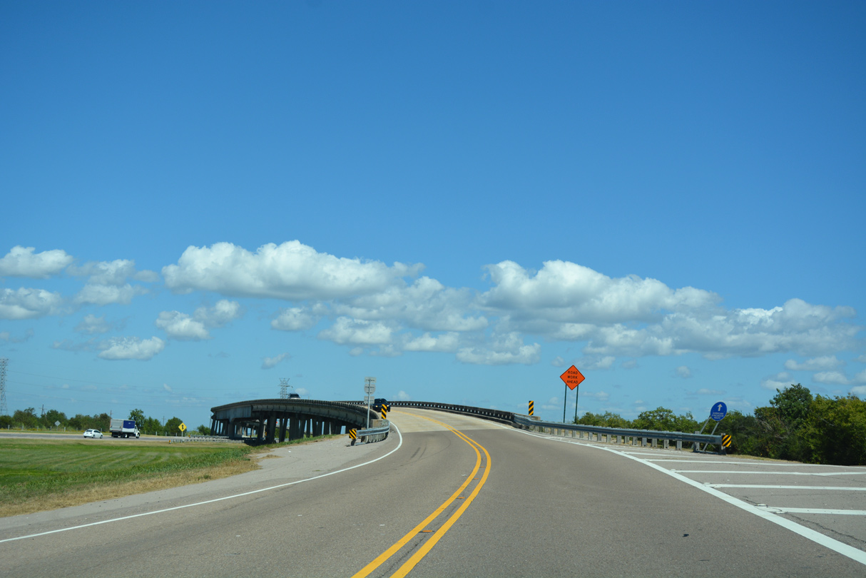
The I-10 Twin Span Bridge diverges from U.S. 11 and reaching the North Shore of Lake Pontchartrain by Grand Lagoon.
10/12/16
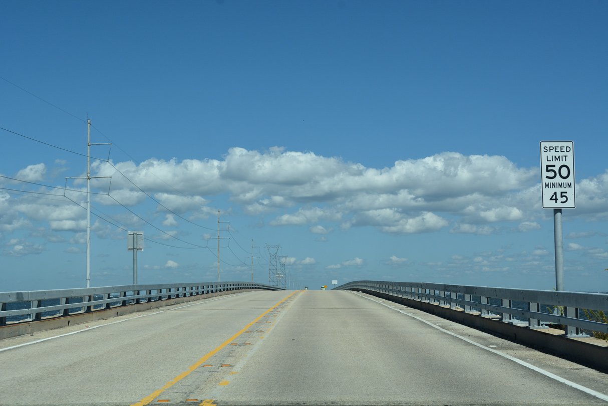
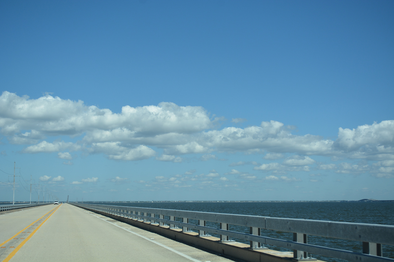
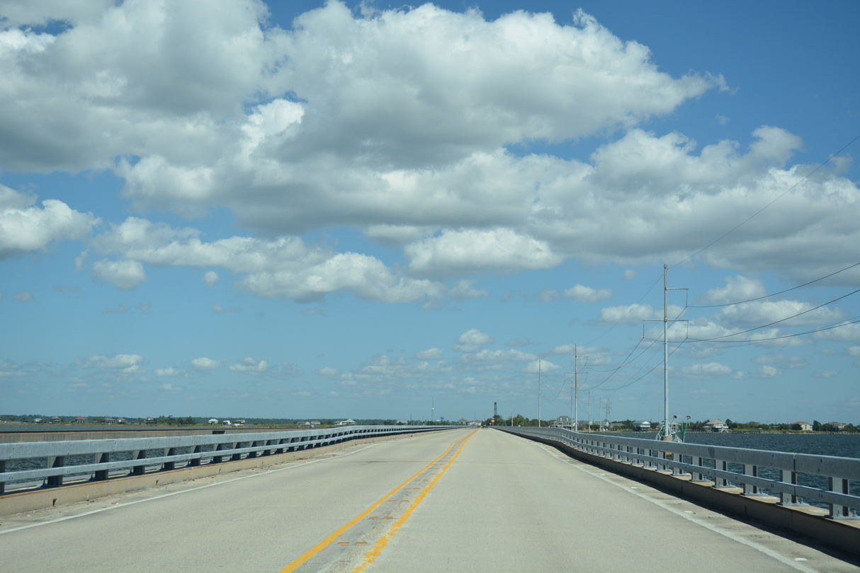
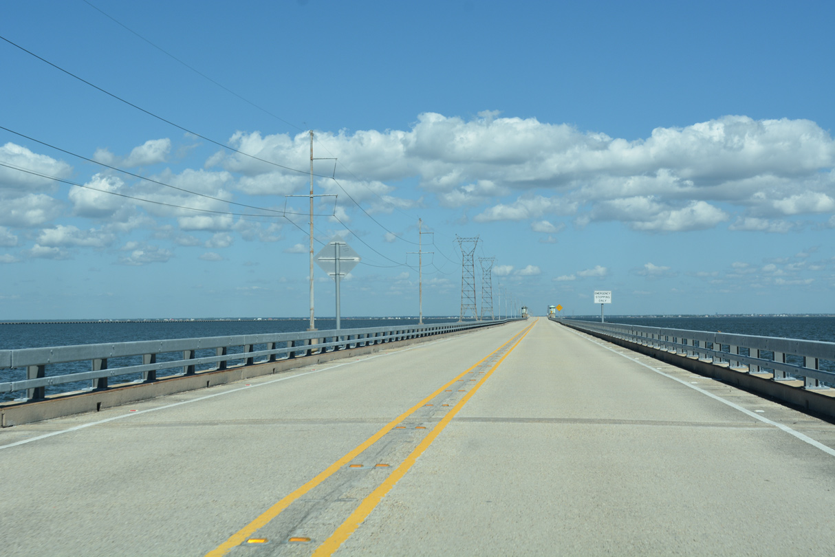
Speed limits are posted at 50 miles per hour along the 4.78 mile long bridge linking New Orleans with the Northshore.
10/12/16
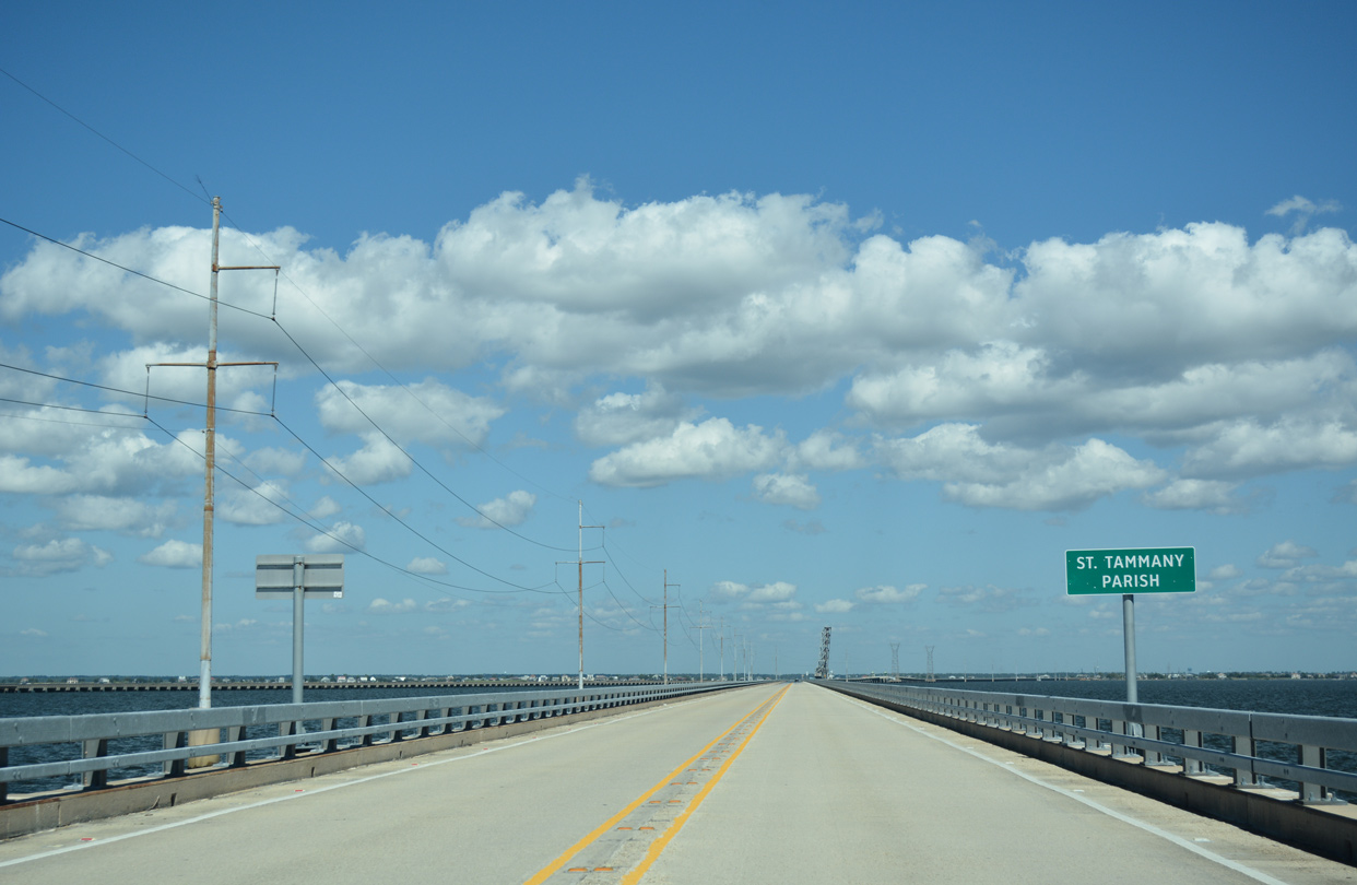
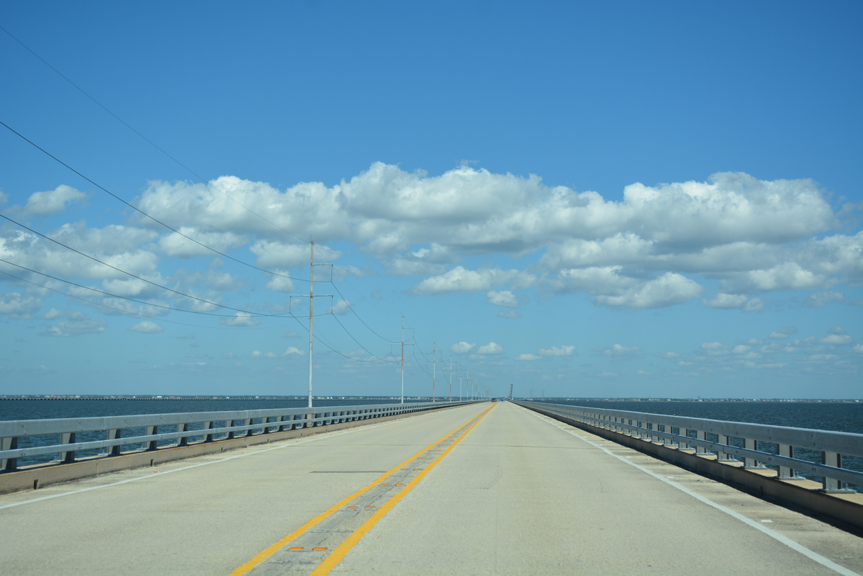
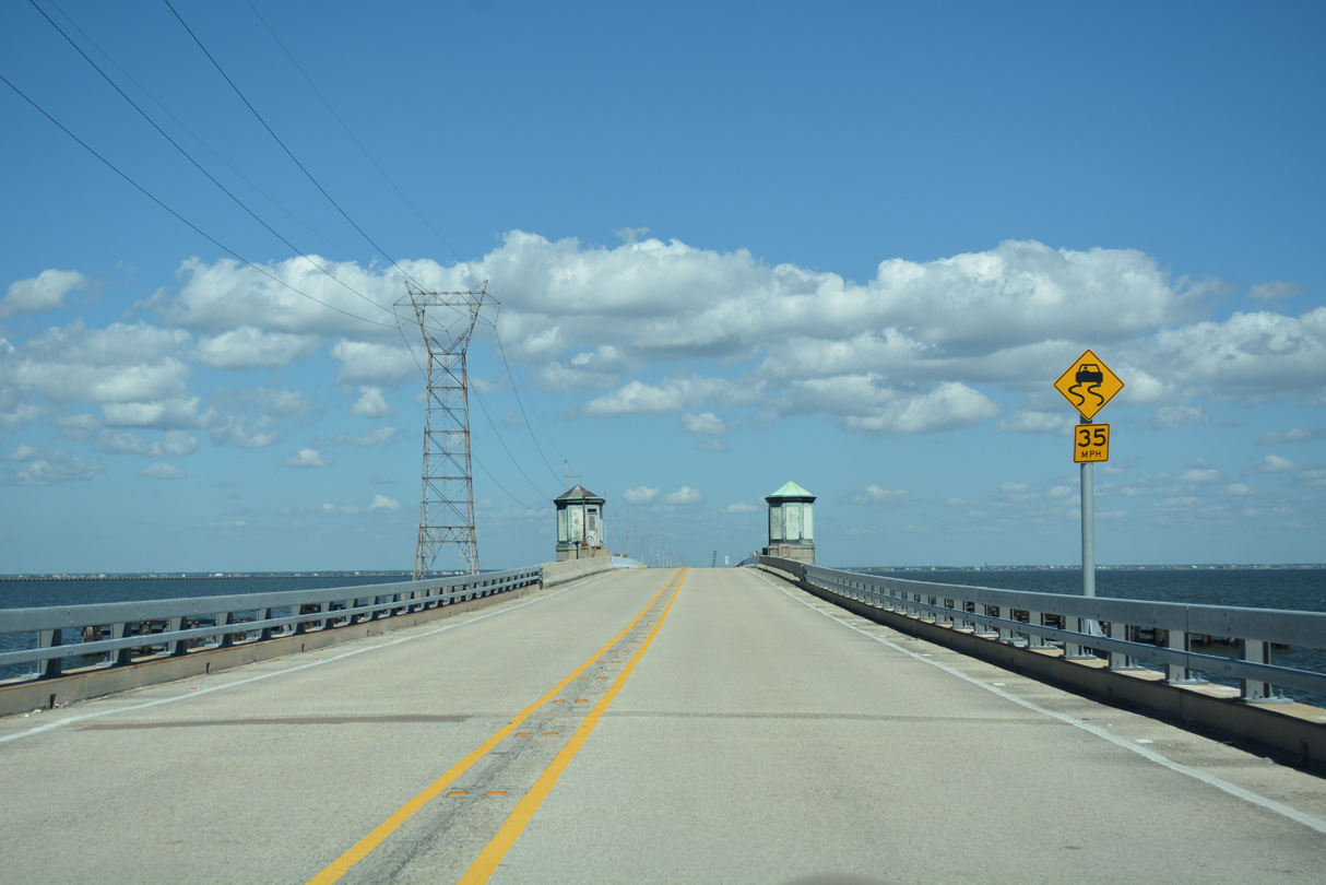
Northbound U.S. 11 crosses the St. Tammany Parish line midway between the two draw spans on the Five Mile Bridge.
10/12/16
A Norfolk-Southern (NS) Railroad line parallels U.S. 11 across Lake Pontchartrain. The NS bridge includes a lift portion to accommodate taller passing vessels.
10/12/16
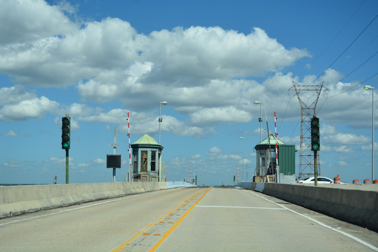
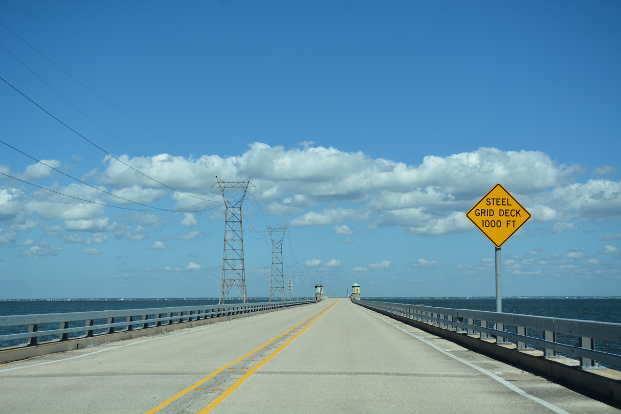
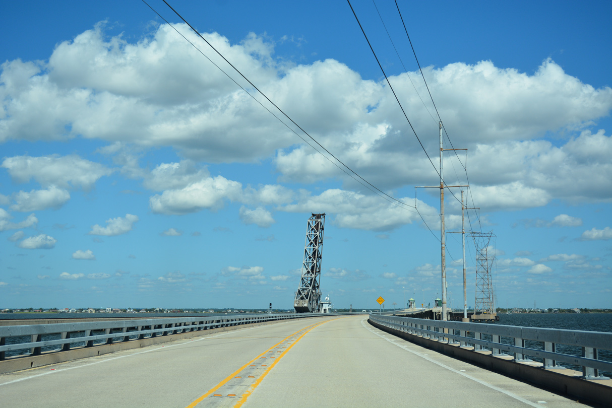
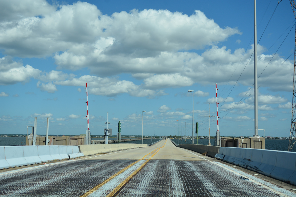
The bascule section along the Maestri Bridge lies 1.1 miles ahead of the north Lake Pontchartrain shore line.
10/12/16
Continuing toward Slidell along U.S. 11 north. The Maestri Bridge opened to traffic on February 18, 1928. Tolls were charged until 1938, when the state purchased the span and redesignated it as part of a relocated U.S. 11.3
10/12/16
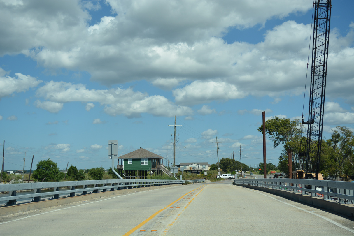
Following Pontchartrain Drive, U.S. 11 approaches the city of Slidell west of Eden Isles. Eden Isles Boulevard connects U.S. 11 with Eden Isles, a community of canal lined subdivisions.
10/12/16
LA 433 (Old Spanish Trail) leads northwest from U.S. 90 at the Rigolets to merge with U.S. 11 (Pontchartrain Drive) north at the Slidell street grid.
12/10/07
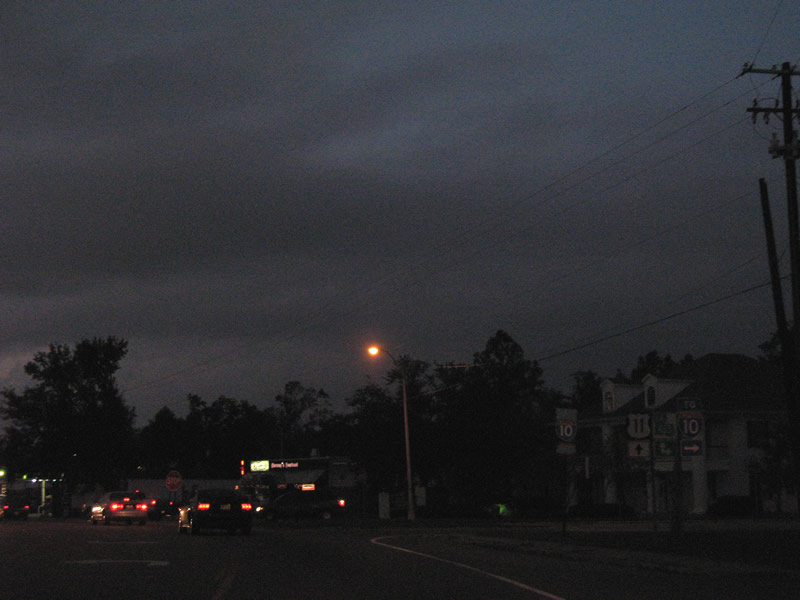
LA 433 south follows the original alignment of both U.S. 11 and 90 (Old Spanish Trail) to the Rigolets. The state highway east to I-10 (Exit 263) serves a number of businesses and growing suburban areas.
12/10/07
North  West
West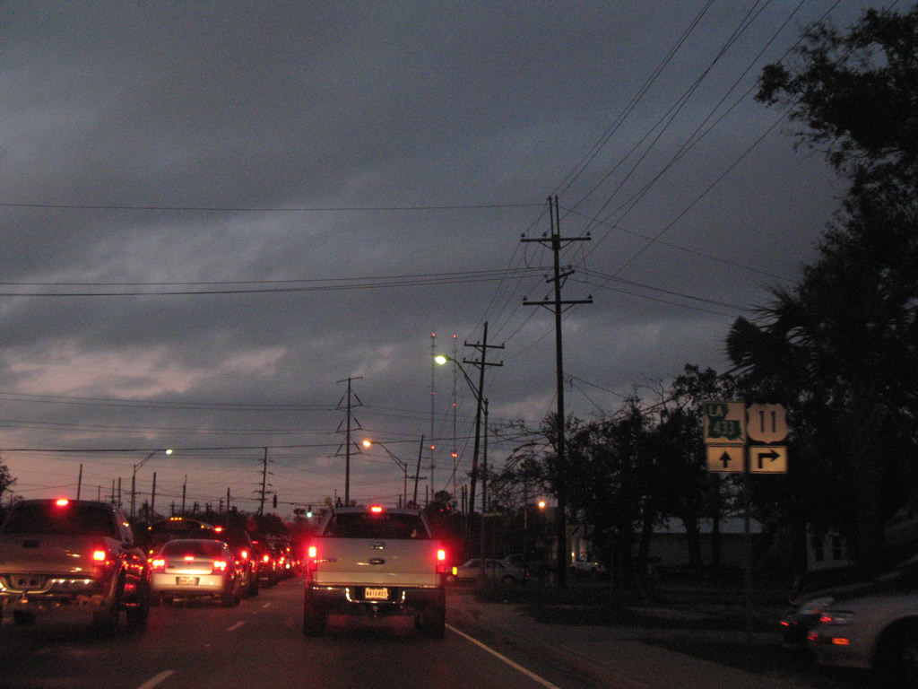
U.S. 11 north / LA 433 west share a four block overlap to the intersection of Front Street and Bayou Liberty Road west.
12/10/07
LA 433 continues west onto Bayou Liberty Road to Bonfouca and U.S. 190 (Covington Highway) at Colt. U.S. 11 turns onto Front Street to Downtown Slidell.
12/10/07
North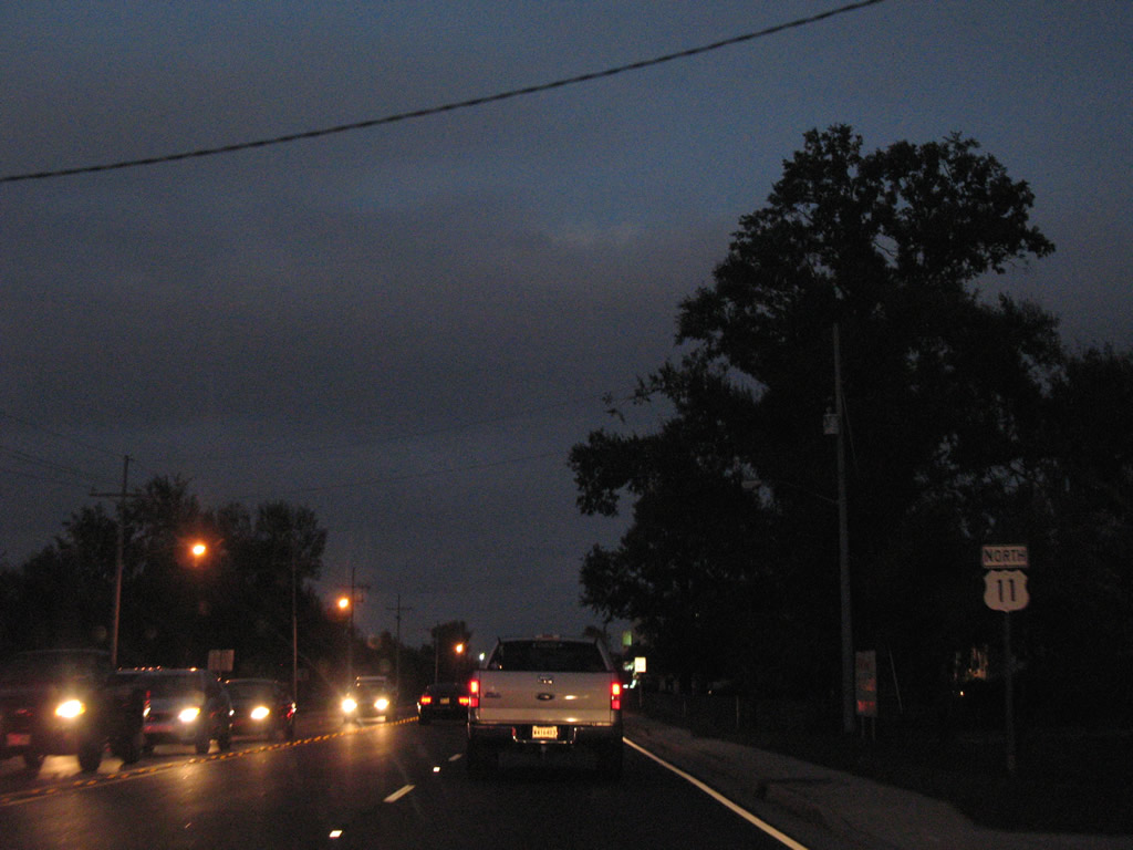
Reassurance marker posted for U.S. 11 north after the turn from Pontchartrain Drive onto Front Street.
12/10/07
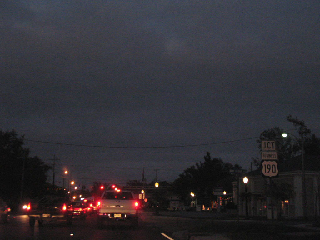
U.S. 190 Business west concludes at U.S. 11 (Front Street) via Fremaux Avenue.
12/10/07
Like the U.S. 51 business route in Hammond, U.S. 190 Business only connects with its parent on one end. U.S. 11 north provides the return route to U.S. 190 (Gause Boulevard) while U.S. 190 Business east follows Fremaux Avenue to Interstate 10 and Shortcut Highway.
12/10/07
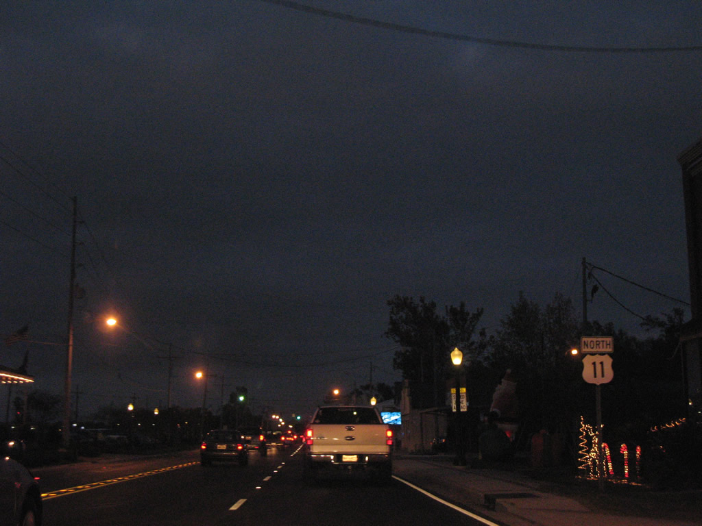
Continuing through Downtown Slidell along U.S. 11 (Front Street) north.
12/10/07
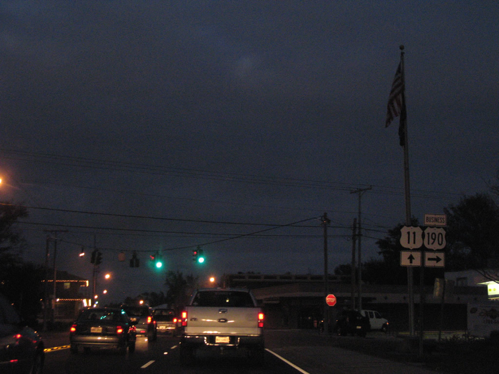
An overhead sign assembly precedes the U.S. 11 (Front Street) intersection with U.S. 190 (Gause Boulevard). U.S. 190 travels west to Lacombe and Covington and east to end at U.S. 90 outside Slidell. U.S. 90 continues the drive to Bay St. Louis.
12/10/07
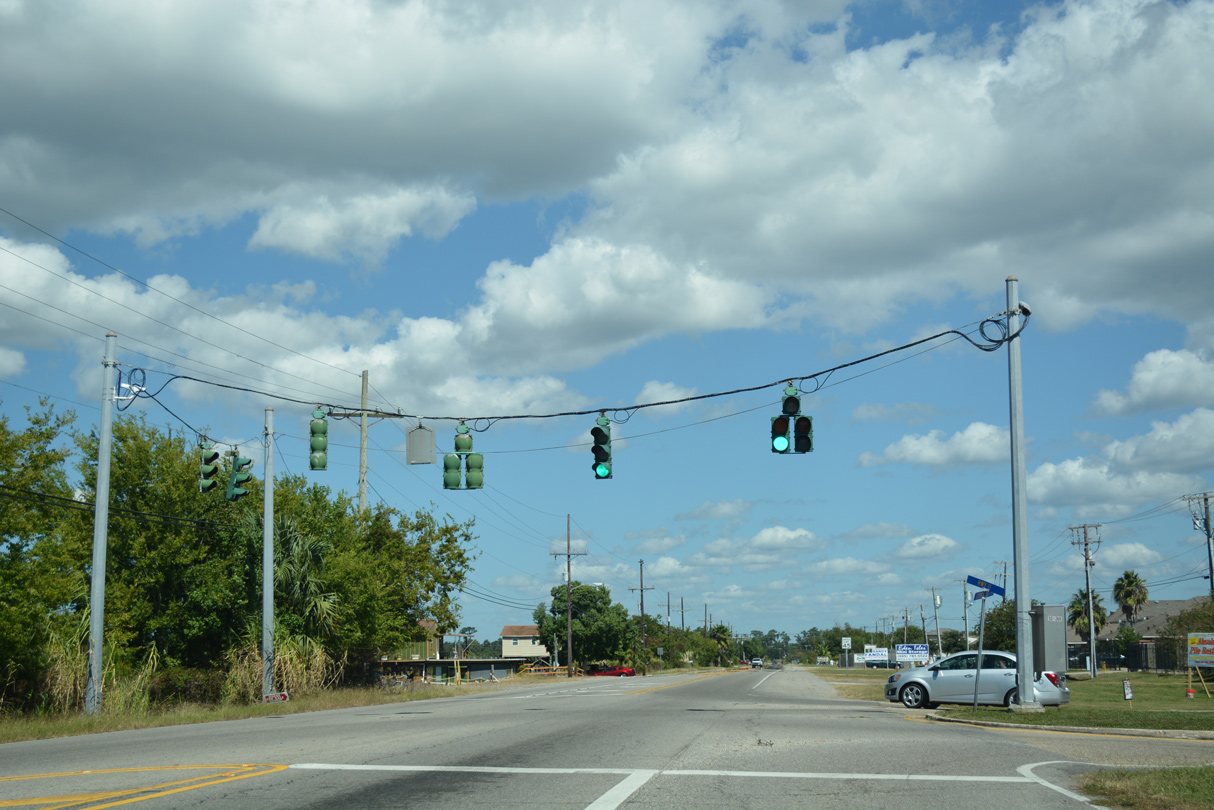
Interstate 10 and 12 trailblazers accompany the U.S. 11 and 190 shield assembly at the corner of Front Street and Gause Boulevard. U.S. 190 comprises the main commercial arterial through Slidell. U.S. 11 continues alongside a NS Railroad line 1.6 miles to Interstate 12.
11/06/99
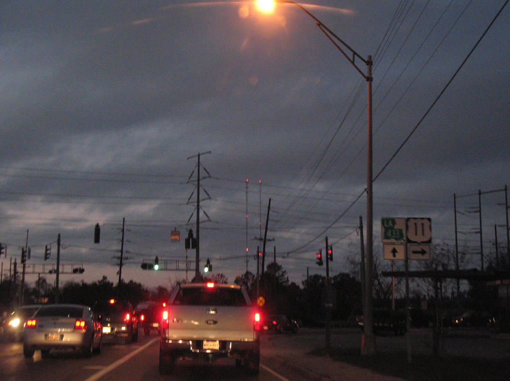
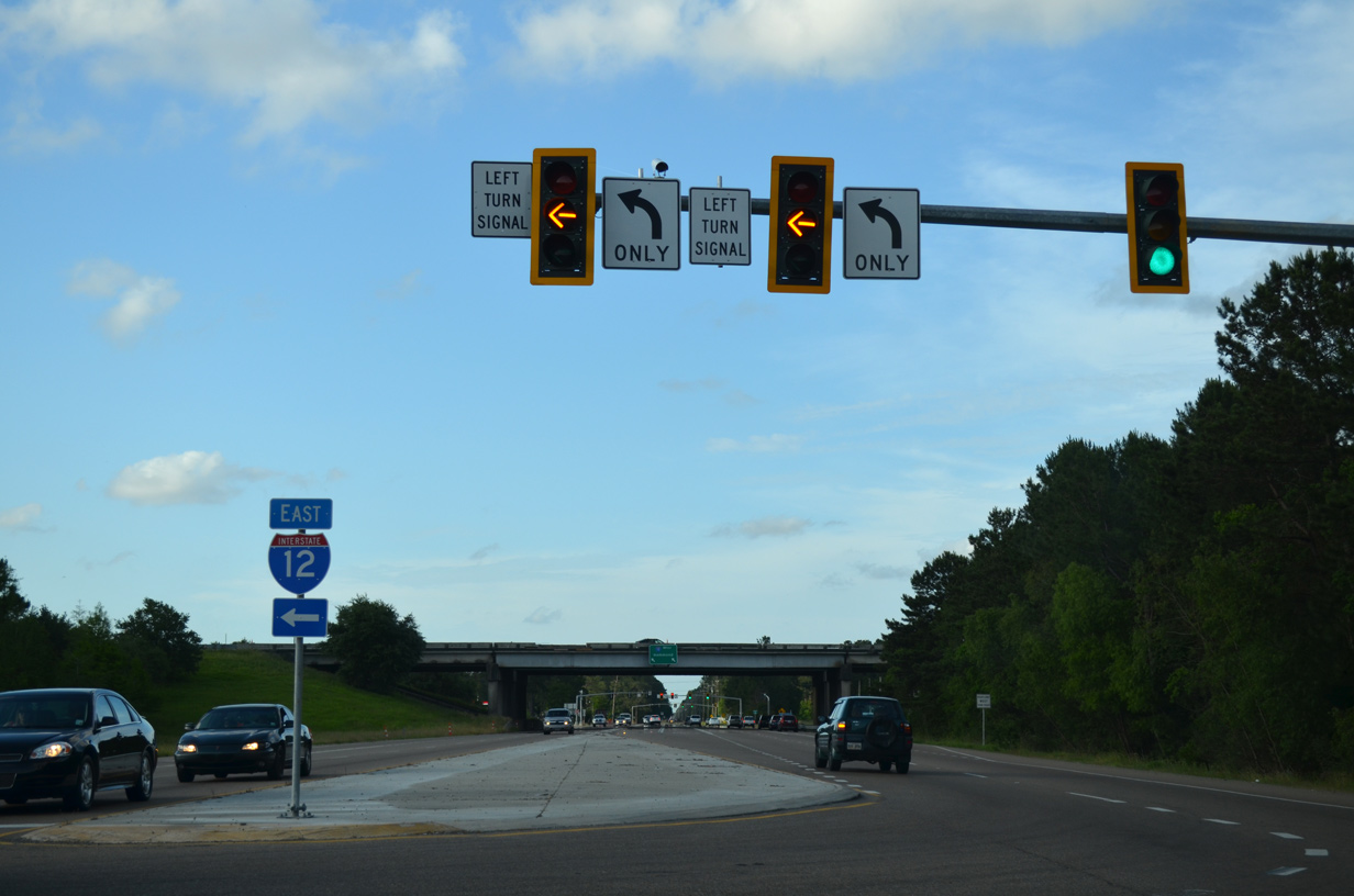
A folded diamond interchange connects U.S. 11 (Front Street) with Interstate 12 opposite the Norfolk Southern Railroad line. Interstate 12 stretches 85 miles across southeastern Louisiana from Baton Rouge to Slidell.
05/09/15

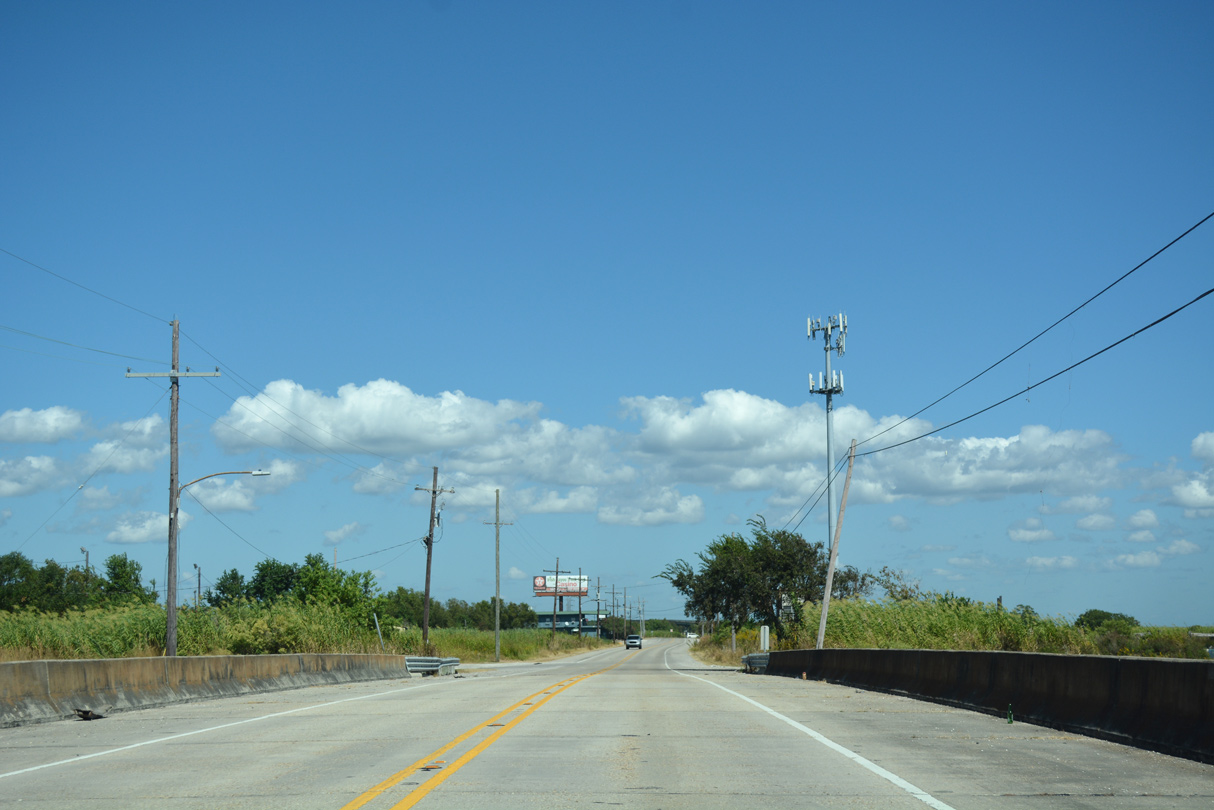
Browns Village Road stems west from U.S. 11 beyond the exchange with Interstate 12 to neighborhoods east of Camp Villere.
10/12/16
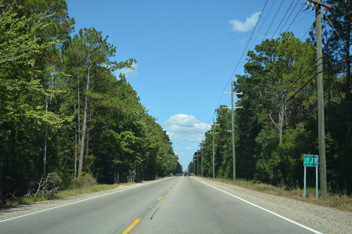
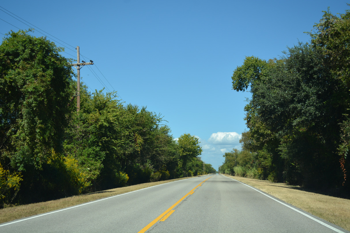
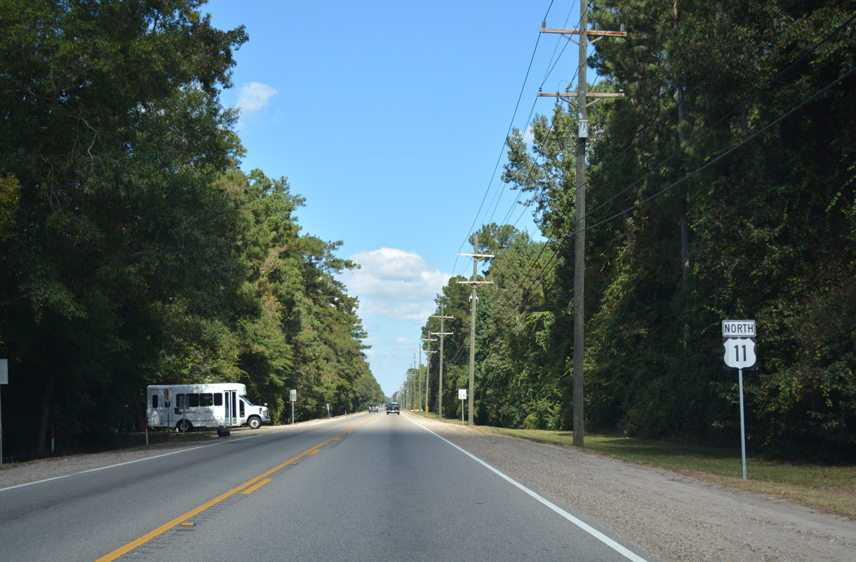
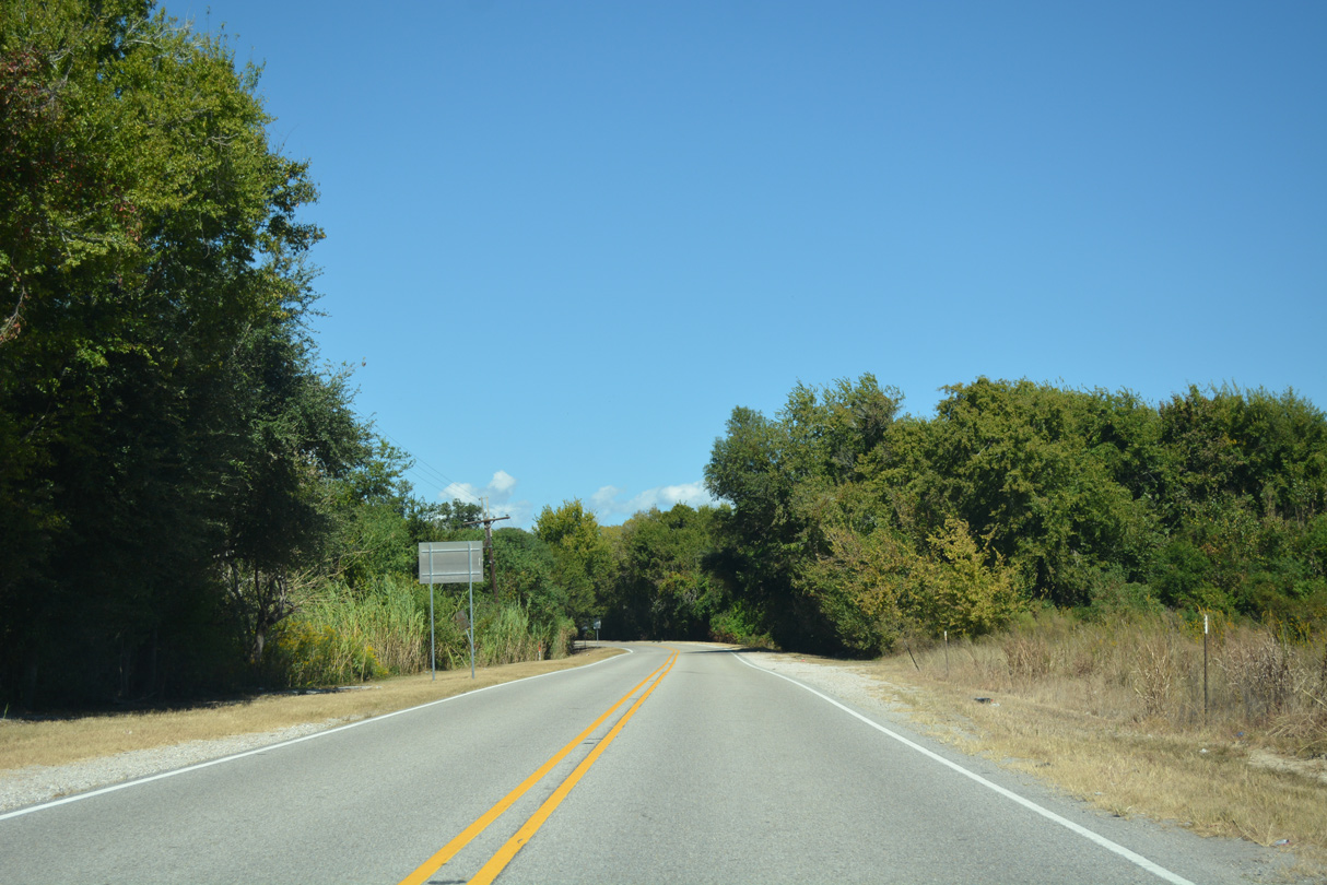
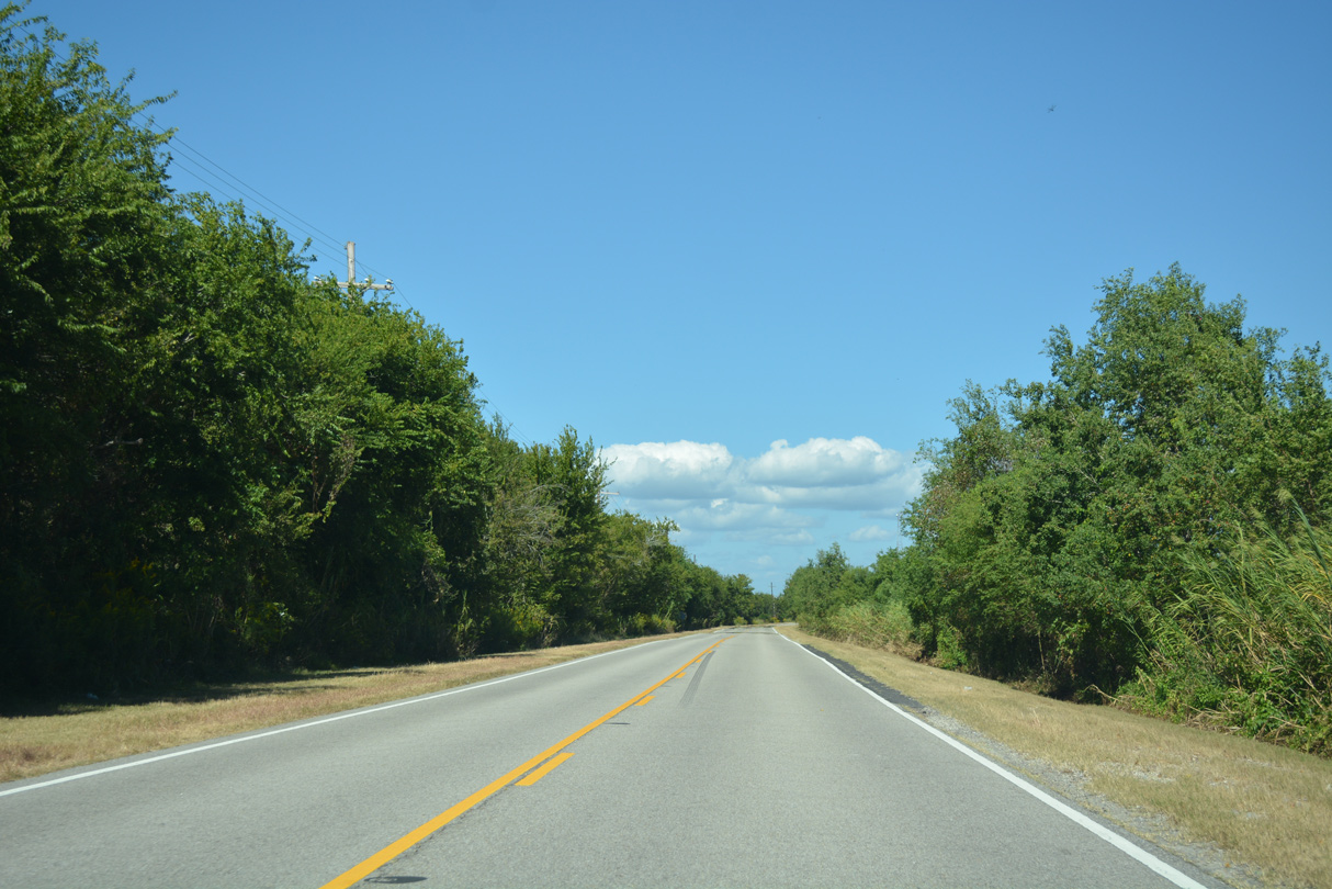
U.S. 11 proceeds north alongside the Norfolk Southern Railroad through the communities of Alton and St. Joe.
10/12/16
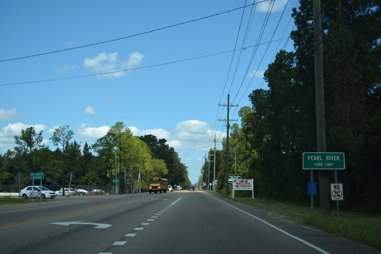
Entering the town of Pearl River, U.S. 11 intersects the east end of Dr. T.J. Smith, Sr. Expressway. The controlled access roadway winds west 4.3 miles to Airport Road south of Slidell Municipal Airport (KASD).
10/12/16
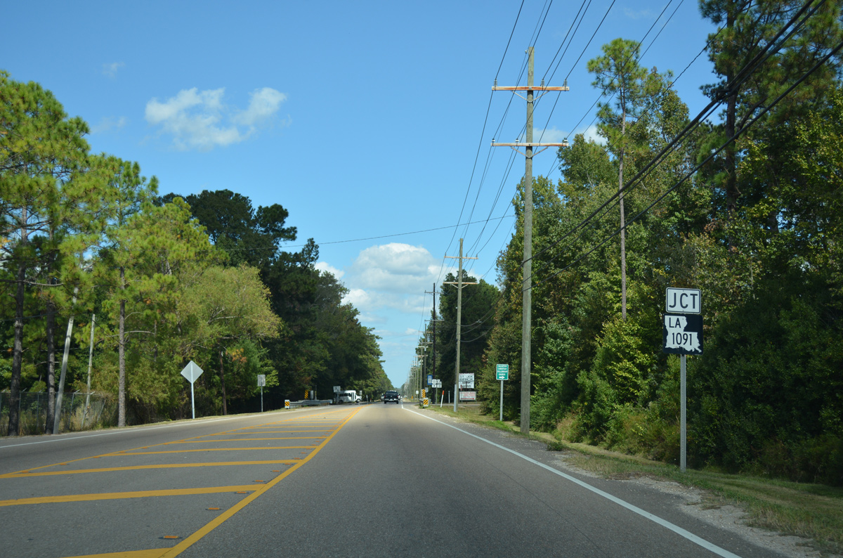
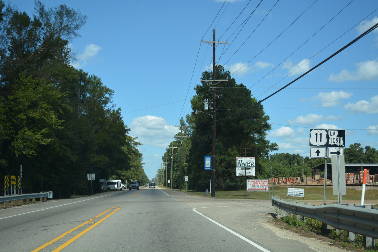
LA 1091 (Robert Road) concludes a 5.1 mile route north from U.S. 190 in Slidell at U.S. 11 in Pearl River.
10/12/16
U.S. 11 reassurance marker posted north of LA 1091 (Robert Road).
10/12/16
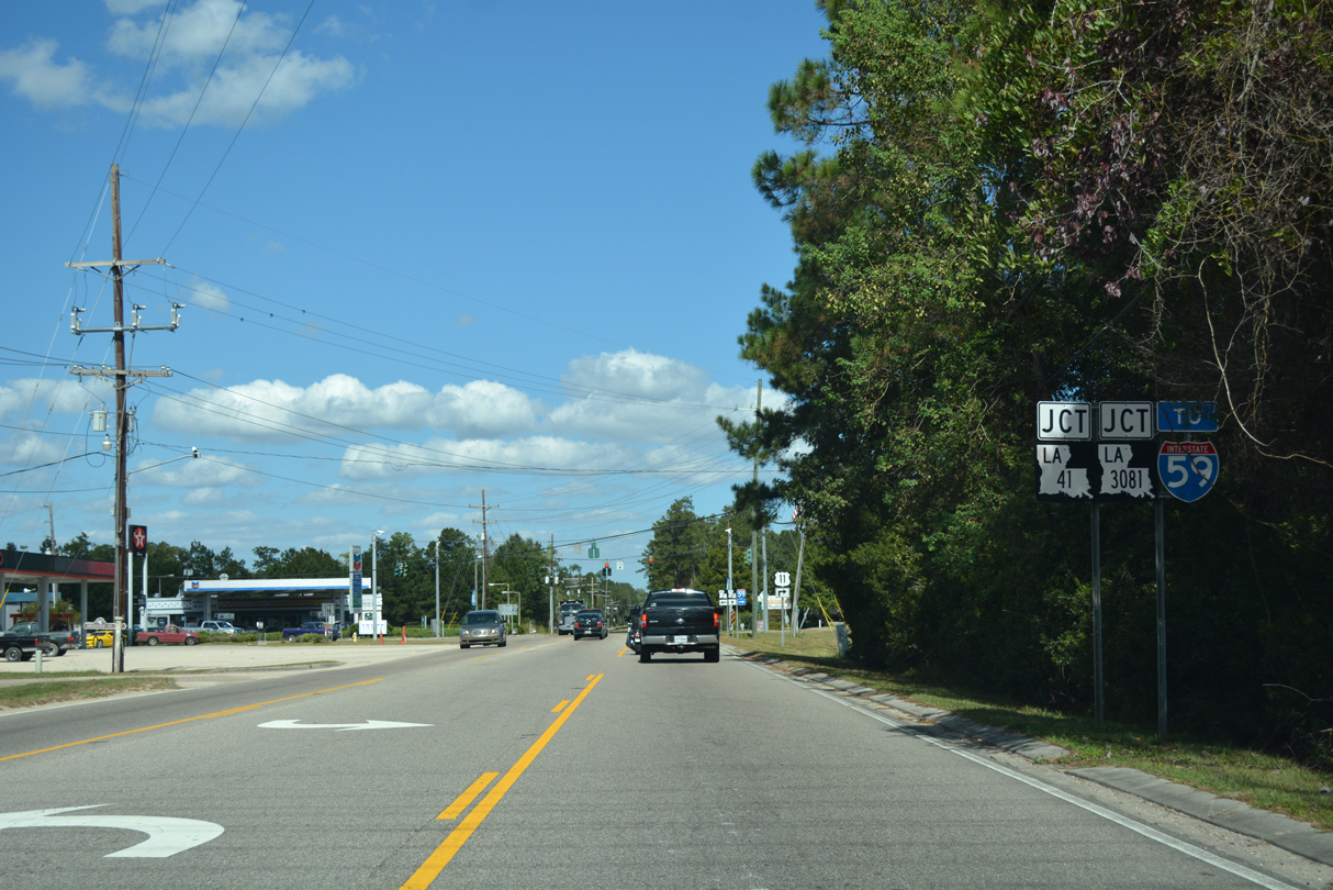
Approaching LA 41 (Watts Road) north and LA 3081 (Main Street) north on U.S. 11.
10/12/16
U.S. 11 dog legs southeast from LA 3081 (Main Street) to Interstate 59 along Concord Boulevard. LA 3081 represents the former continuation of U.S. 11 north to Old Channel and the West Pearl River.
10/12/16
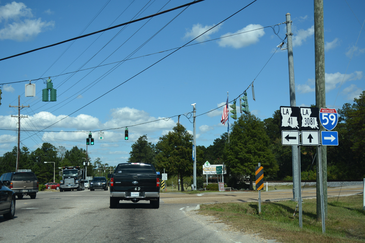
LA 41 (Watt Road) travels northwest from U.S. 11 and LA 3081 in Pearl River to LA 21 at Bush along a 23 mile course.
10/12/16
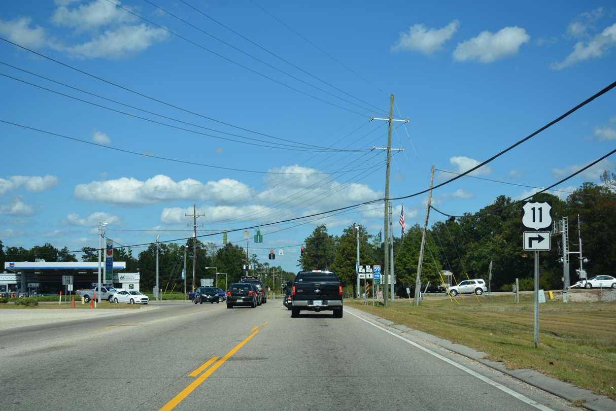
U.S. 11 (Concord Boulevard) approaches the diamond interchange with Interstate 59 beyond the roundabout with Cleo Road.
05/09/15
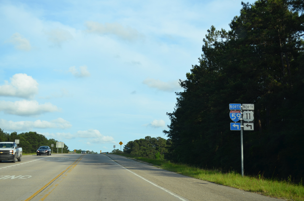
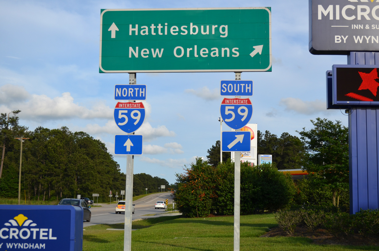
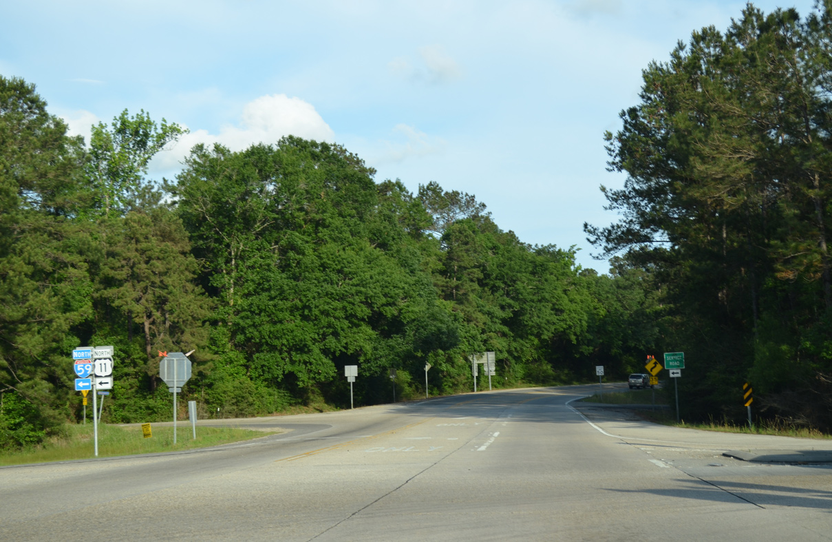
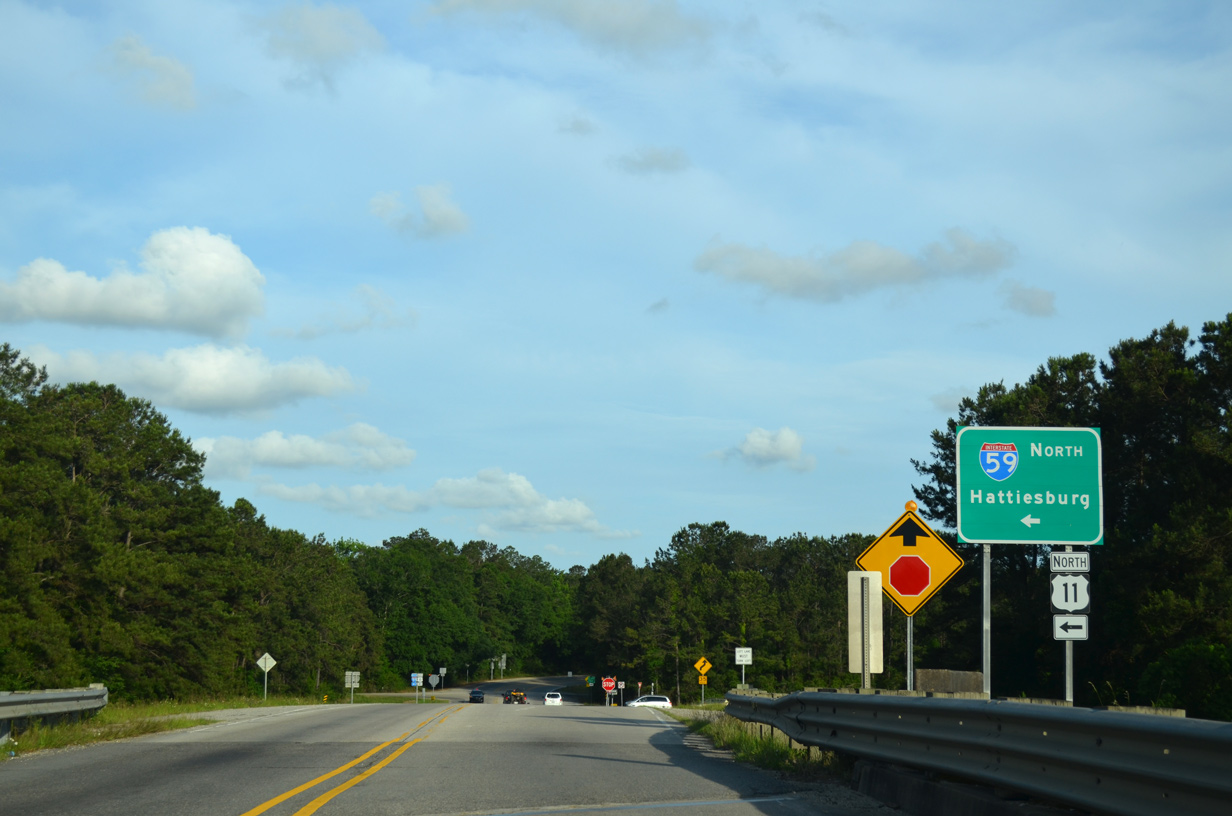
U.S. 11 merges with Interstate 59 north for 8.8 miles from Pearl River to Nicholson, Mississippi.
05/09/15
LA 1090 (Military Road) begins and heads south from the exchange joining I-59 and U.S. 11 back into Slidell.
05/09/15
A section of Old US 11 remains in service east from I-59/U.S. 11 at Honey Island Swamp into Pearl River Wildlife Management Area.
10/12/16
South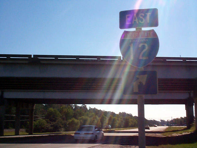
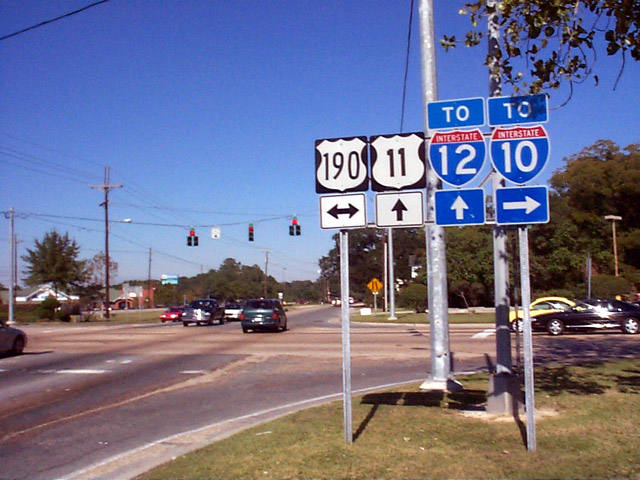
Long since removed, this vintage shield was posted at the folded diamond interchange joining U.S. 11 south with Interstate 12. A guide sign on the freeway overpass replaced this assembly in 2000. That too was replaced by 2012.
11/06/99

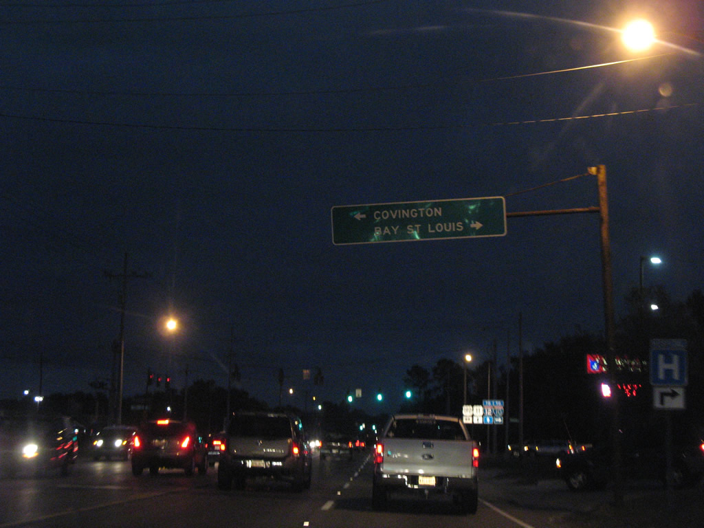
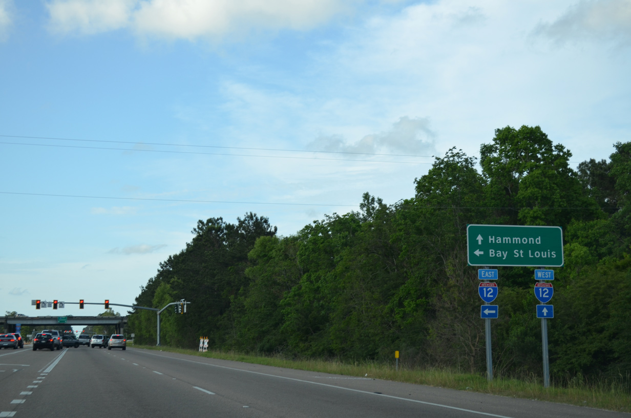
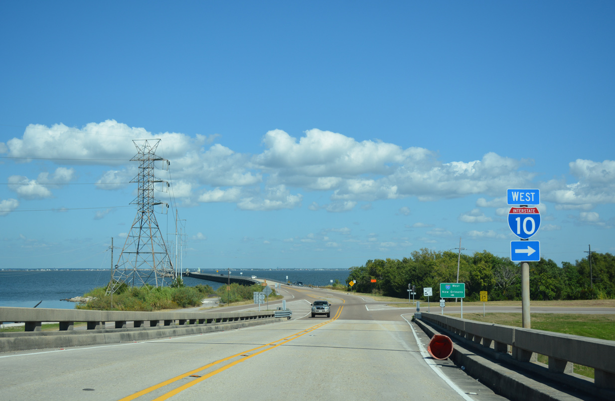
Bay St. Louis, Mississippi lies beyond the east end of Interstate 12 off I-10. I-10 bypasses the Hancock County city en route to Gulfport and Biloxi.
04/20/12
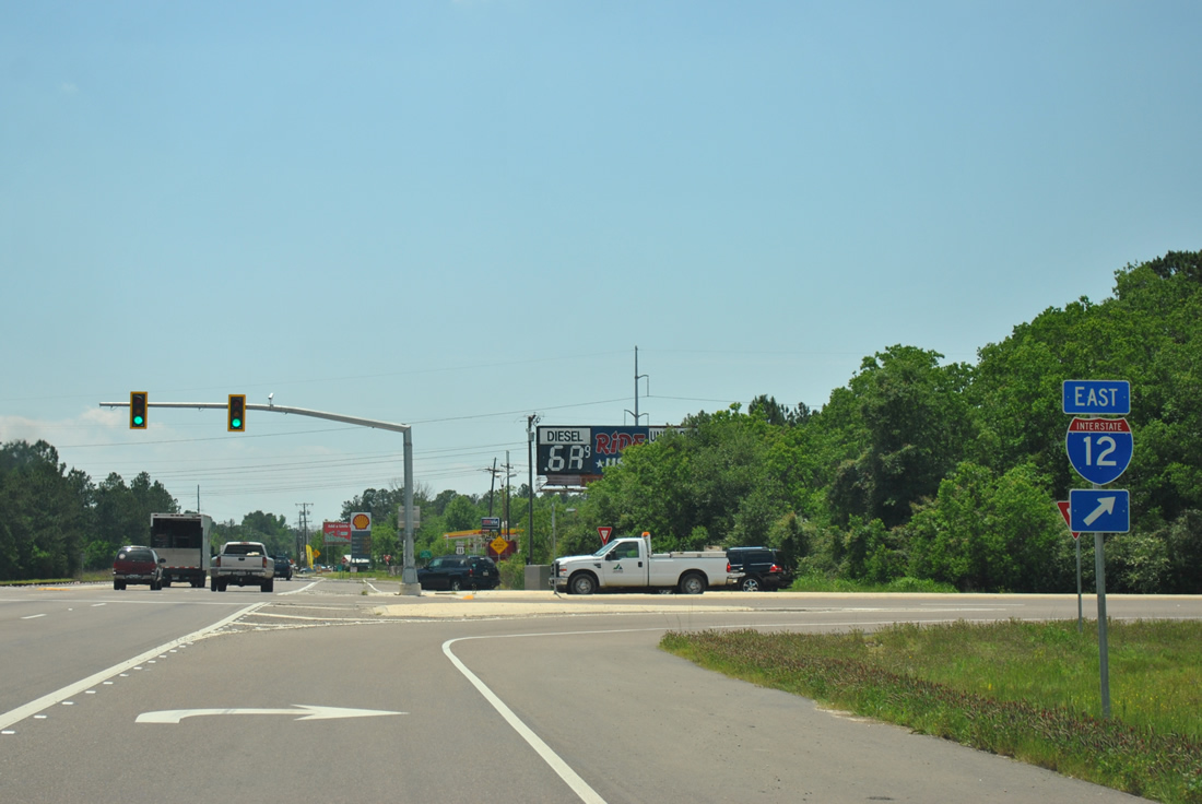
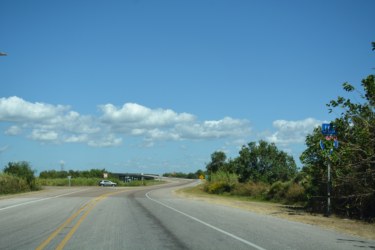
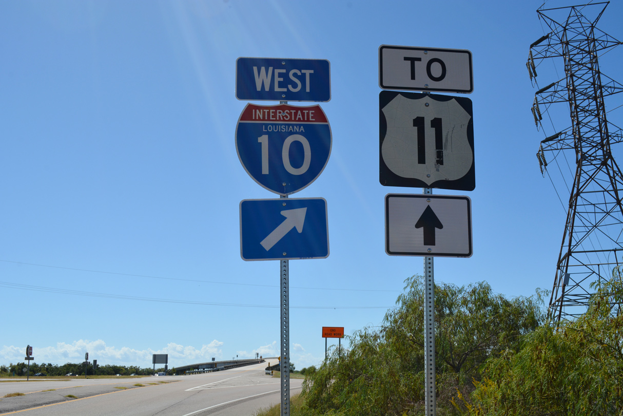
Drivers bound for I-10 or Interstate 59 north to Picayune, Mississippi loop onto I-12 east from U.S. 11 south.
04/20/12
Confirming marker posted south of Interstate 12 along U.S. 11 (Front Street). Running along the Slidell city line, U.S. 11 initially narrows onto a three lane boulevard.
05/09/15
Leaving the Maestri Bridge across Lake Pontrchartrain, U.S. 11 reaches Irish Bayou and a parclo interchange with Interstate 10.
10/12/16
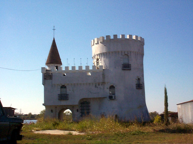
Fisherman's Castle, one of several fish camps located along the west side of U.S. 11 at Irish Bayou. The concrete structure was built in 1981.
11/06/99
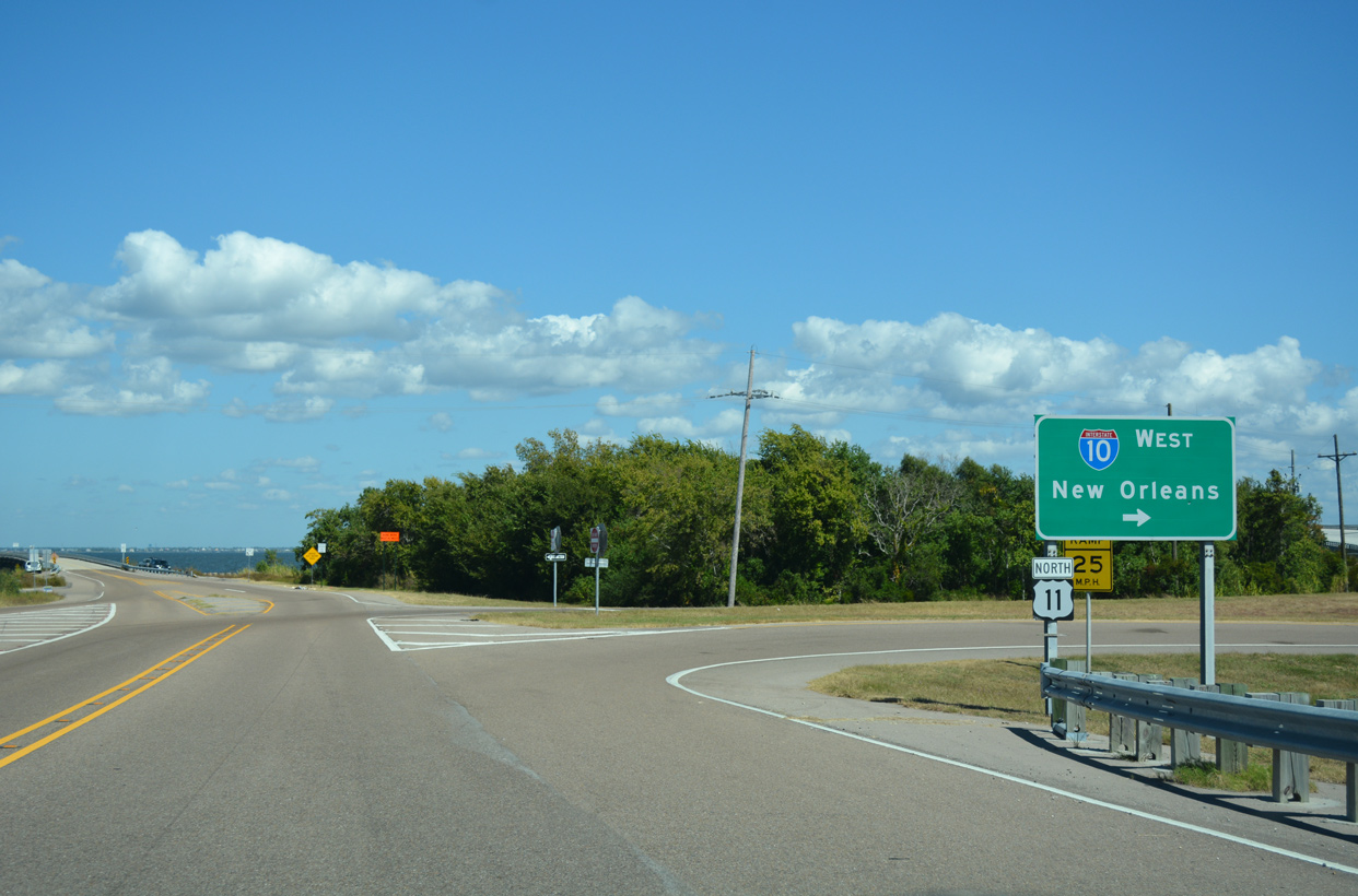
U.S. 11 south ends at U.S. 90 and Powers Junction. U.S. 90 (Chef Menteur Highway) enters eastern New Orleans by way of the Rigolets and Fort Pike to the east.
12/10/07
U.S. 90 continues west from Powers Junction and U.S. 11 to New Orleans East. Until 1936 both U.S. 11/90 turned west at Powers Junction toward central New Orleans. U.S. 90 shifted away from the overlap with U.S. 11 south from Slidell in 1937, ultimately leading to a truncation of U.S. 11 east to Powers Junction.
12/10/07
References:
- "U.S. 11 Rouses Point, New York, to New Orleans, Louisiana." Federal Highway Administration.
- End of US highway 11. USEnds.com.
- Maestri Bridge. Wikipedia.org.
Photo Credits:
- Alex Nitzman: 11/06/99, 12/10/07, 05/09/15, 10/12/16
- ABRoads: 04/20/12
Connect with:
Page Updated Friday March 29, 2019.