
Route 2
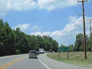
Maryland Route 2 constitutes an 80.56 mile long route (Pruett, 2010) roughly following the west shore of Chesapeake Bay between Solomons Island and the city of Baltimore. Connecting the capital city of Annapolis with Glen Burnie, a large suburb of Baltimore, among other locations via the Governor Ritchie Highway, the majority of MD 2 is a four lane, divided highway.
Maryland Route 2 Guides
North
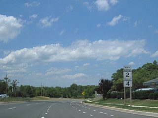
MD 2/4 North - Prince Frederick to Sunderland - 20 photos
Sunderland to Annapolis - 52 photos
Glen Burnie to Baltimore - 18 photos
South
Baltimore to Glen Burnie - 33 photos
Annapolis to Sunderland - 6 photos
MD 2/4 South - Sunderland to Prince Frederick - 16 photos
MD 2 also overlays U.S. 50/301 between Exit 24 and Exit 27, through the concurrency is unmarked. Based upon older maps, MD 2 may have followed Old U.S. 50 (now MD 450) into Annapolis.
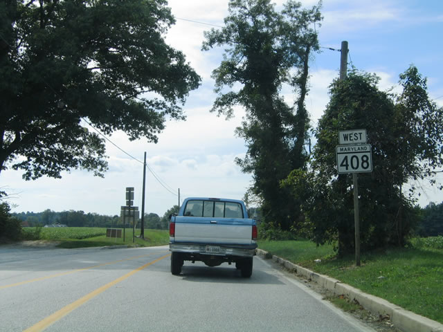
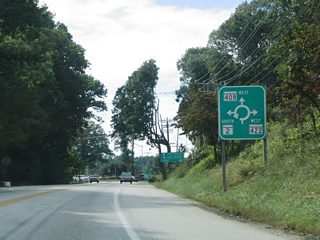
MD 408 (Marlboro Road) begins and leads west from a roundabout with MD 2 (Solomons Island Road) and MD 522 (Bayard Road). MD 408 links the MD 2 and 4 corridors between Mt. Zion and Drury respectively.
09/25/04
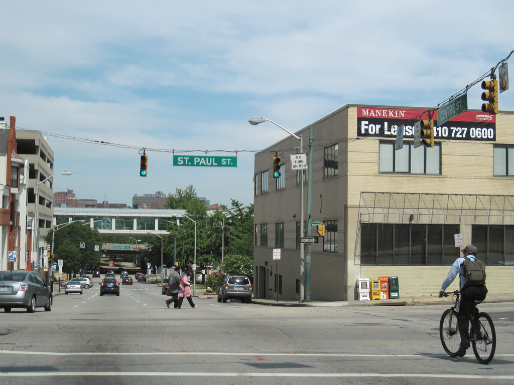
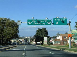
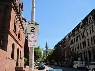
Centre Street travels one block east from Washington Place to MD 2 (St. Paul Street) southbound. MD 2 continues into the Baltimore central business district.
06/30/10
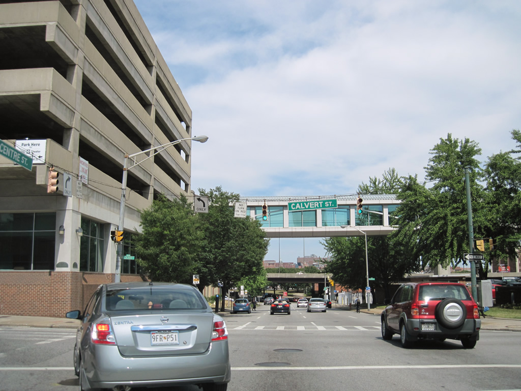
MD 2 follows Calvert Street from Downtown to U.S. 1 (North Avenue). Interstate 83, visible passing over Centre Street in this scene, turns northwest under the state route eight blocks to the north. Ramps connect with the southbound direction of MD 2 only.
06/30/10
References:
Pruett, M. (2010). Routes 1-6. MDRoads. http://www.mdroads.com/routes/001-006.html#md002
Photo Credits:
- Alex Nitzman: 09/25/04, 06/30/10
Connect with:
Page Updated Saturday April 09, 2011.