
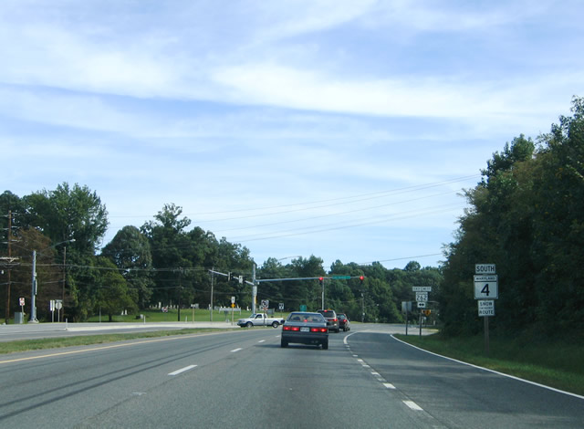
Route 4 South
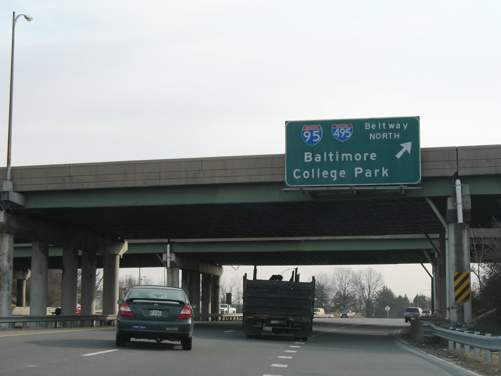
MD 4 (Pennsylvania Avenue) meets I-95/495 (Capital Beltway) at a cloverleaf interchange at Forestville. Pictured here is the northbound loop ramp to College Park and Baltimore.
01/02/08
Eastbound MD 4 reassurance shield posted after the intersection with Old Marlboro Pike south and Westphalia Road north.
01/02/08
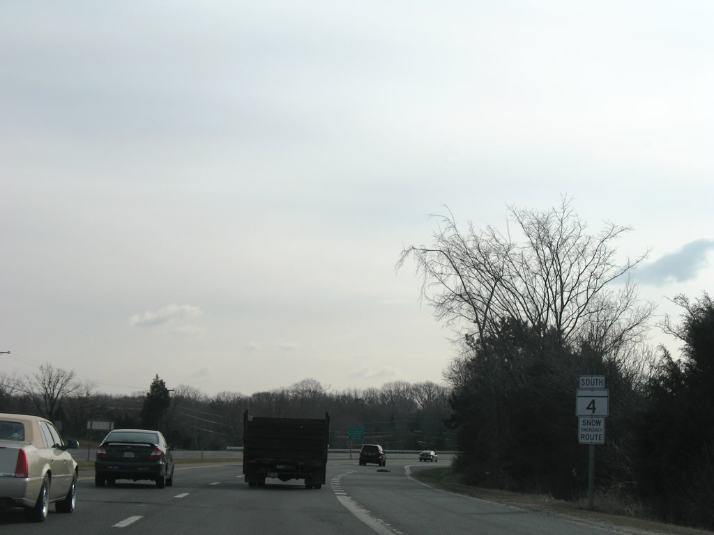
Approaching the east end of Suitland Parkway on MD 4 (Pennsylvania Avenue) south. Suitland Parkway provides a controlled access route west to Washington, DC, with connections to MD 337 (Allentown Road) south via Forestville Road at Morningside.
01/02/08
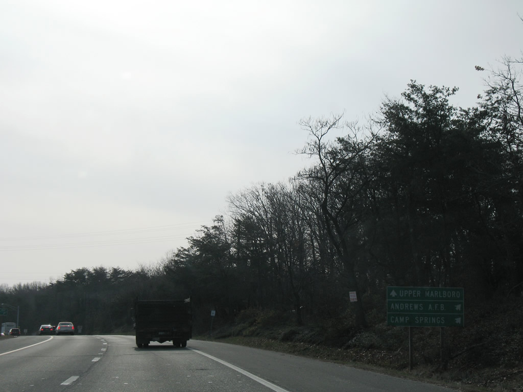
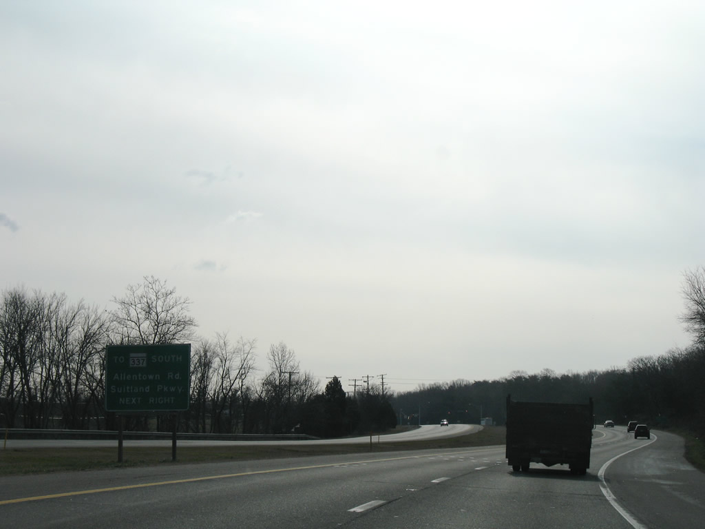
Andrews Air Force Base occupies land along the west side of MD 4 (Pennsylvania Avenue) south of Suitland Parkway. Interests to the military base should use the Suitland Parkway ramp to Patrick Avenue or MD 337.
01/02/08
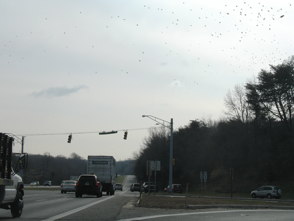
Suitland Parkway begins opposite Presidential Parkway and the Presidential Corporate Center. The route winds westward as a National Park Service maintained facility to South Capitol Street in Washington.
01/02/08
Southbound MD 4 as it departs the MD 258 (Bay Front Road) diamond interchange at Bristol. The four lane freeway continues south another two miles to MD 260 at the Anne Arundel and Calvert County line.
09/25/04
The final exit from the MD 4 freeway links Southern Maryland Boulevard and MD 260 (Chesapeake Beach Road) at Lyons Creek. MD 260 ventures 8.68 miles east from MD 4 to MD 261 (Bayside Road) at Chesapeake Beach.
09/25/04
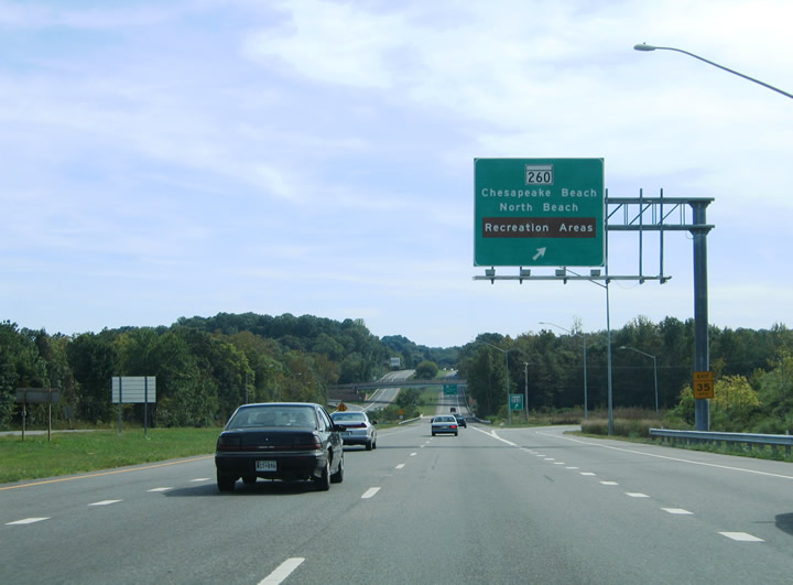
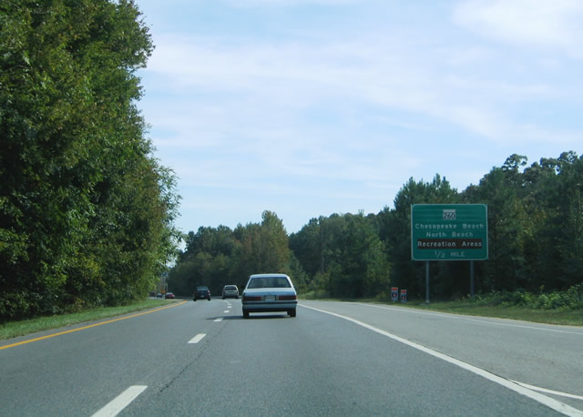
MD 4 (Southern Maryland Boulevard) southbound at the ramp departure for MD 260 (Chesapeake Beach Road). MD 260 serves the community of North Beach in addition to Chesapeake Beach along the western shores of Chesapeake Bay. MD 261 hugs the coast from Rose Haven south to Willows.
09/25/04
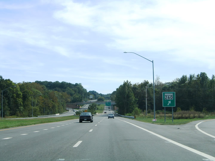
MD 260 gore point sign posted at the diamond interchange with MD 4 (Southern Maryland Boulevard). MD 260 reaches Chaney in one mile and MD 2 at Owings in five miles.
09/25/04
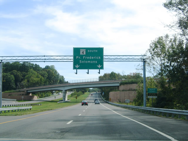
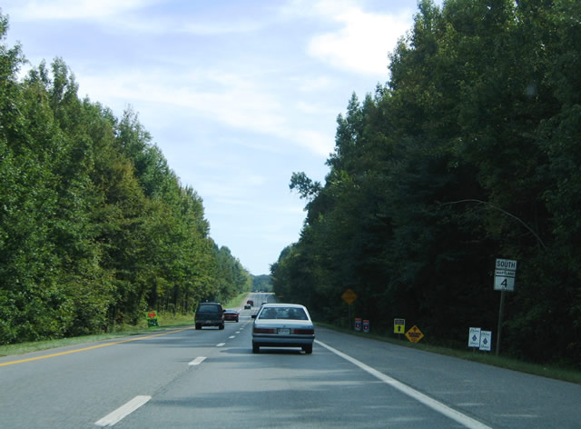
MD 4 crosses into Calvert County officially within the interchange with MD 260 (Chesapeake Beach Road). A pull through panel features the control points of Prince Frederick and Solomons. Prince Frederick lies 16 miles to the south.
09/25/04
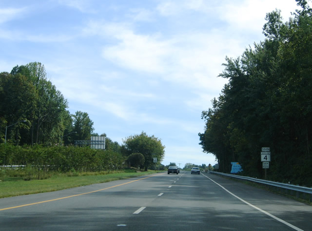
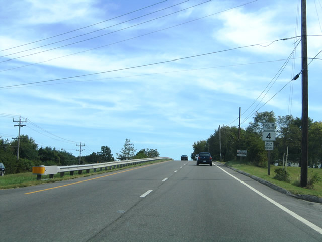
Reassurance marker posted for MD 4 as Southern Maryland Boulevard departs the MD 260 interchange. The four lane divided highway transitions into an at-grade facility between Lyons Creek and Dunkirk three miles to the south.
09/25/04
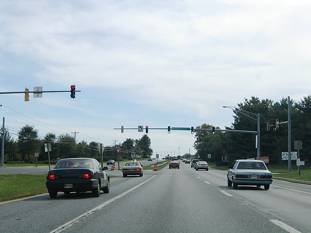
Southbound at the signalized intersection with Town Center Boulevard at the community of Dunkirk. Town Center Boulevard arcs southeast from MD 4 to Talbot Lane and Ward Road.
09/25/04
MD 4 ascends over a local waterway between Ward Road and Mount Harmony Road on the two mile drive between Dunkirk and Chaneyville.
09/25/04
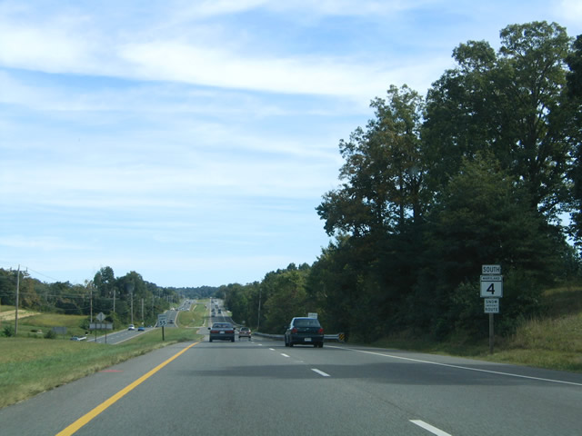
The landscape remains rural between Chaneyville and Sunderland. However develop continues to encroach on much of south-central Maryland with the expansion of the Washington metropolitan area. The scene here shows MD 4 (Southern Maryland Boulevard) between Skinners Turn Road and Clyde Jones Road.
09/25/04
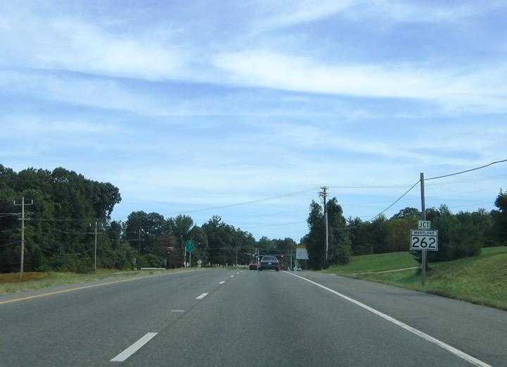
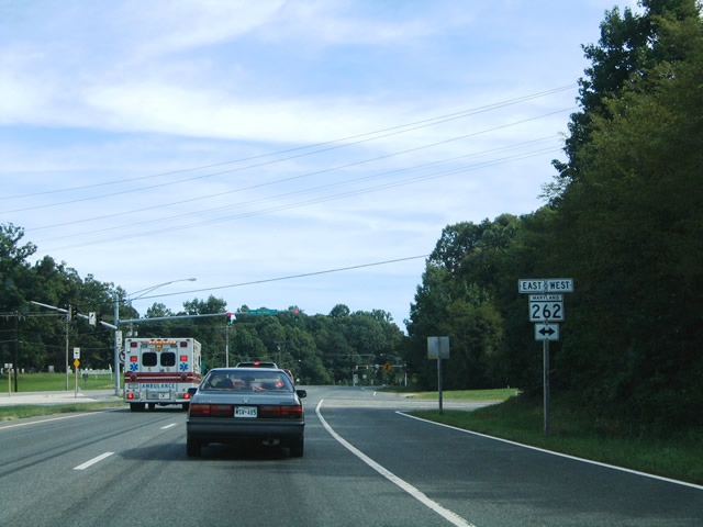
Nearing the eastern terminus of MD 262 (Lower Marlboro Road) on MD 4 (Southern Maryland Boulevard) southbound. MD 262 follows Lower Marlboro Road 4.48 miles west to Lower Marlboro along the Patuxent Road.
09/25/04
MD 4 (Southern Maryland Boulevard) southbound at MD 262 (Lower Marlboro Road) near Sunderland. Lower Marlboro Road continues west a short distance to MD 2 (Solomons Island Road) nearby.
09/25/04
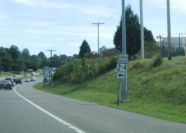
MD 2 (Solomons Island Road) merges onto MD 4 (Southern Maryland Boulevard) from Sunderland. The two highways converge just south of the MD 262 (Lower Marlboro Road) intersection. Pictured here is a MD 2-4 hyphenated sign for traffic entering the scene from Solomons Island Road.
09/25/04
Photo Credits:
- Alex Nitzman: 09/25/04, 01/02/08
Connect with:
Page Updated Wednesday September 16, 2009.