
Trunk Highway 28

Beginning at the South Dakota state ahead of Browns Valley, Minnesota Trunk Highway 28 travels across west central areas of the North Star State to Little Falls. 142 miles in length, MN 28 runs east from Big Stone Lake to Beardsley and Graceville before shifting northward into the Stevens County seat of Morris.
Minnesota Trunk Highway 28 Guides
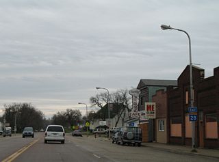
East - Browns Valley to Graceville - 55 photos
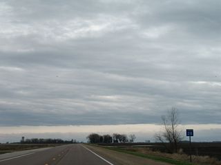
East - Johnson to Morris - 44 photos
East from Morris, MN 28 leads to Lake Minnewaska and the Pope County seat of Glenwood. The trunk highway tuns northward by Amelia Lake to Villard before resuming east to Sauk Centre. MN 28 overlaps with U.S. 71 three miles north through Sauk Centre before taking a stair stepped route northeast to Grey Eagle, Burtrum and Swanville.
MN 28 overlaps with MN 27 east 12.0 miles to Lindbergh Drive (CR 52 / CR 125) Little Falls. However, the last shields for MN 28 are posted at the intersection with MN 238 south and CR 214 (120th Avenue) north, west of Little Falls.
Page Updated Monday January 26, 2026.