
Trunk Highway 28 East - Browns Valley to Graceville

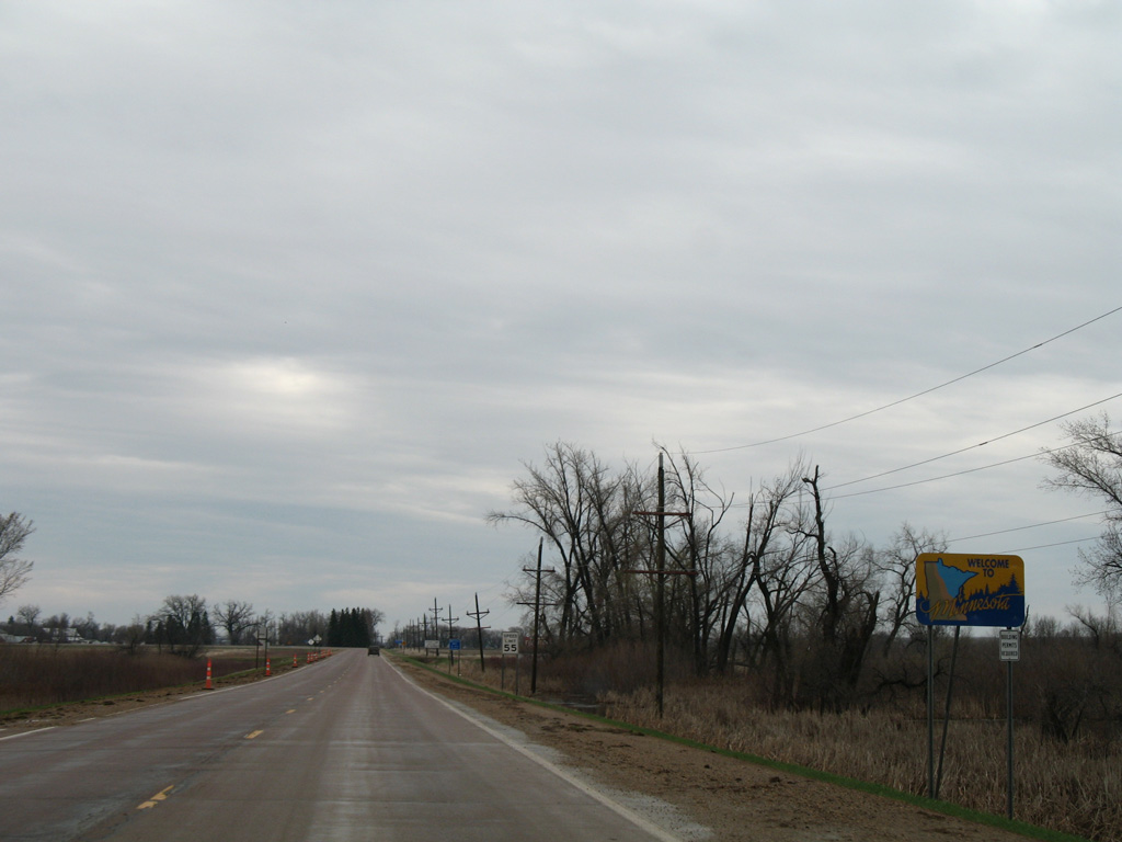
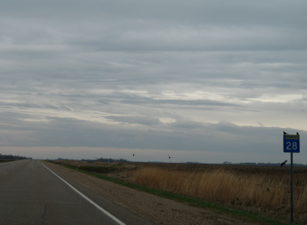
Minnesota welcome sign posted after the transition from South Dakota Highway 10.
04/22/07
04/22/07
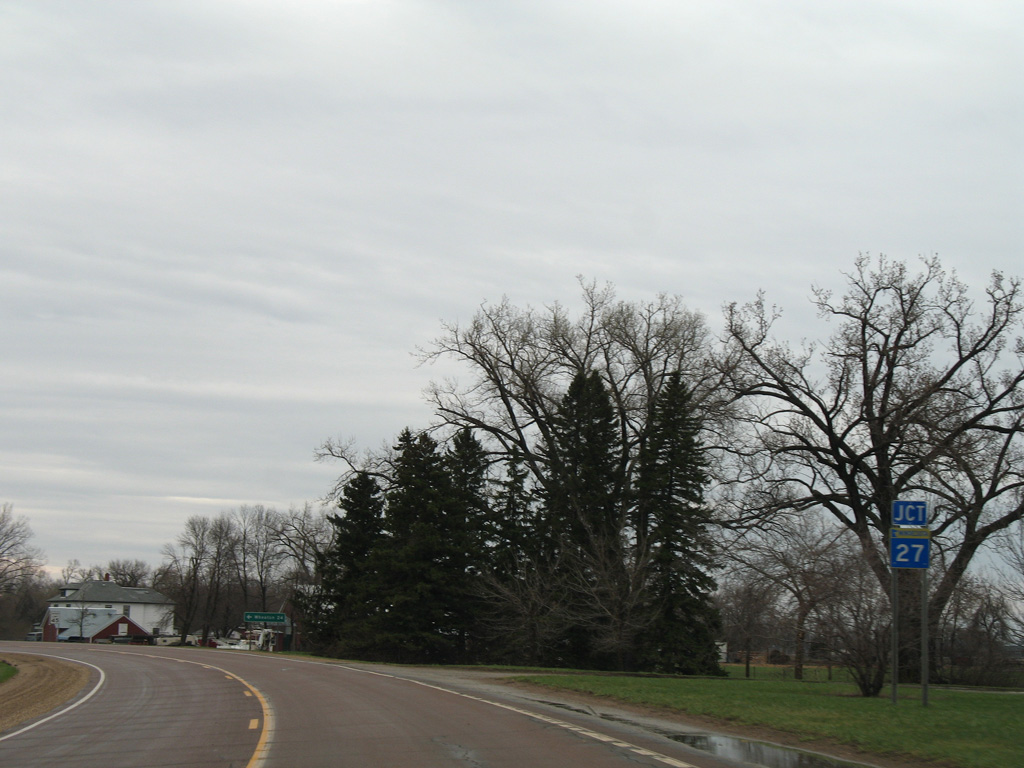
MN 28 advances east to intersect MN 27.
04/22/07
04/22/07

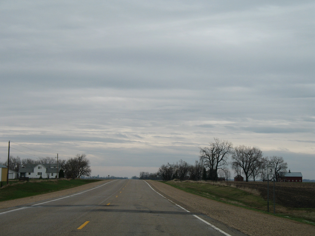
MN 27 leads northeast 24 miles from MN 28 to Wheaton.
04/22/07
04/22/07
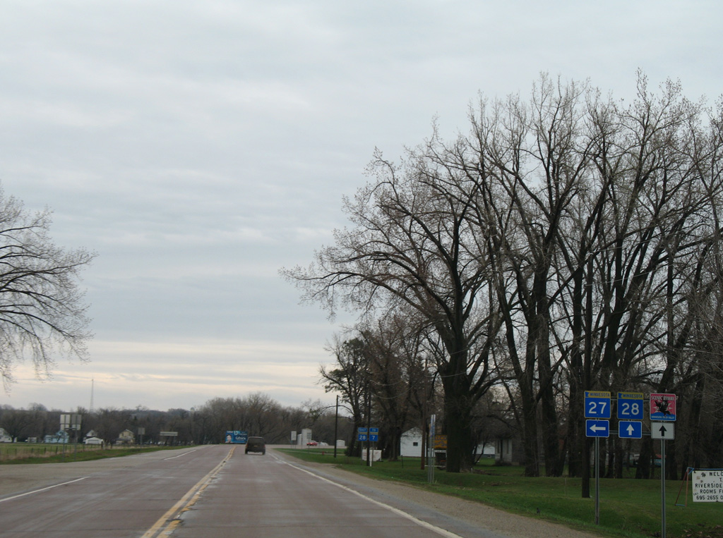
Beginning from MN 28, MN 27 travels north 247 miles east to I-35 near Moose Lake.
04/22/07
04/22/07

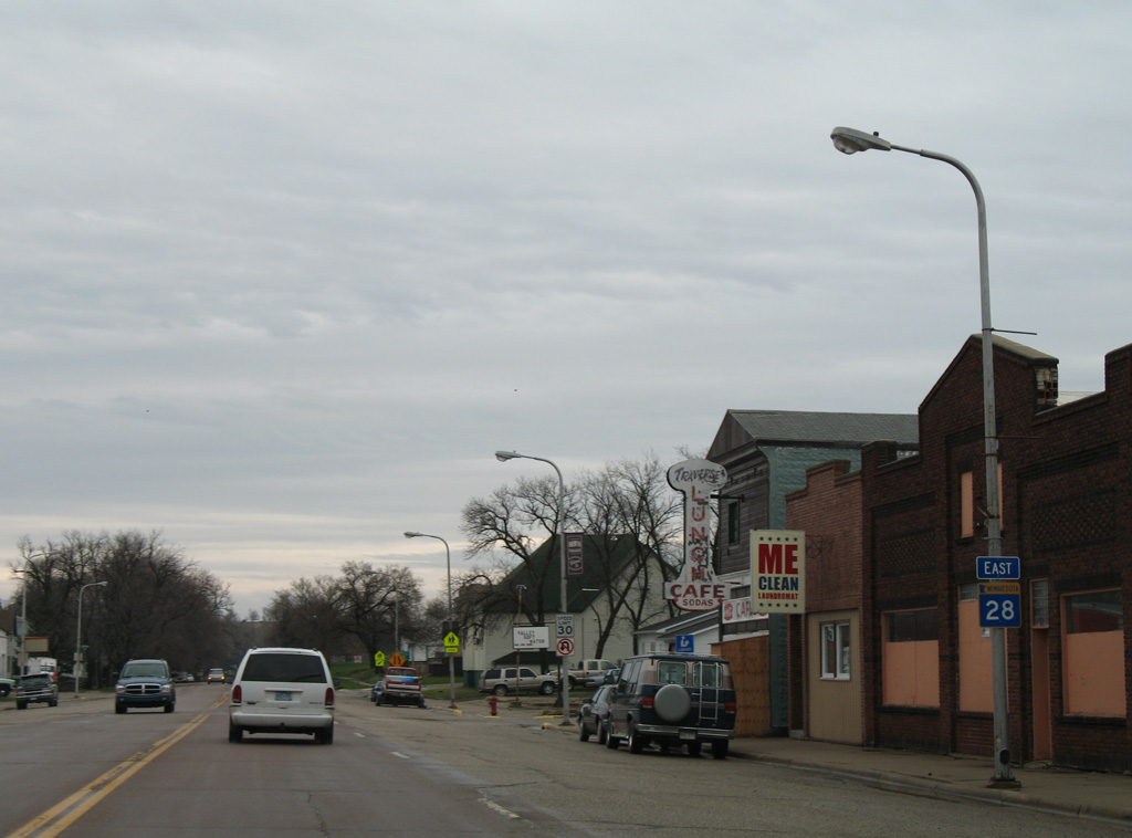
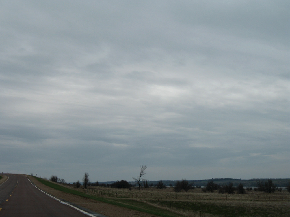
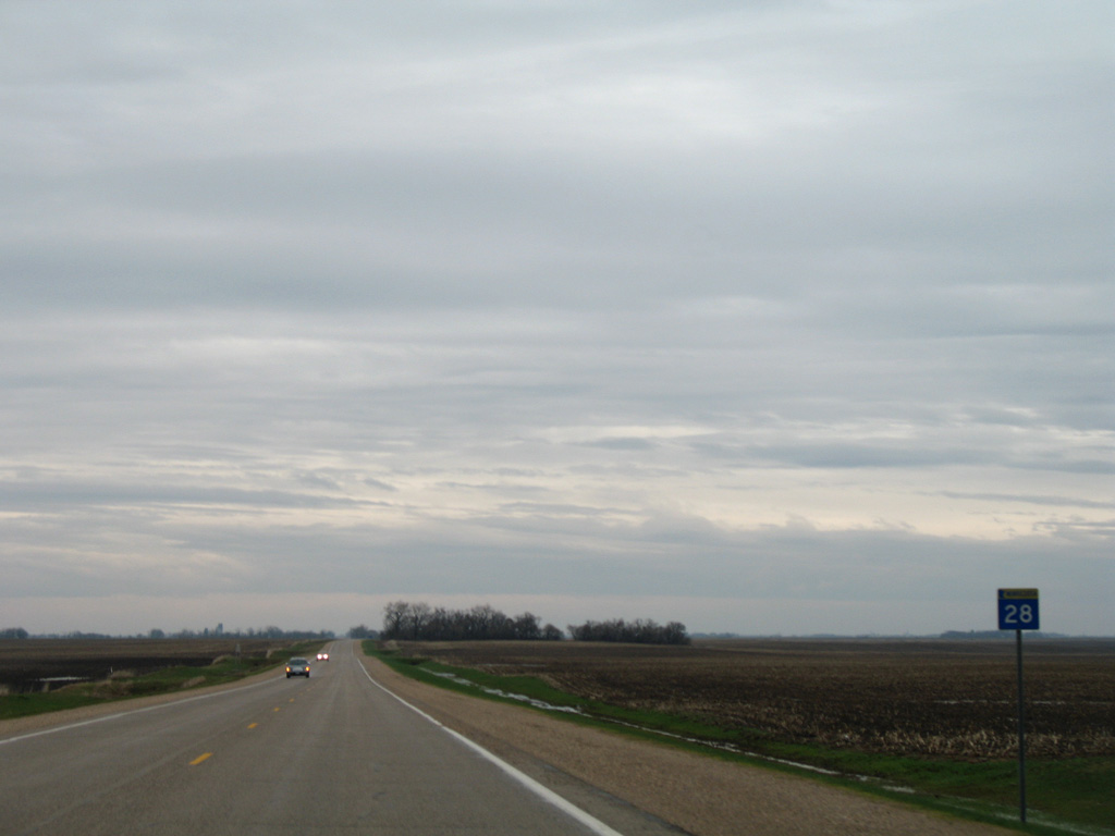
MN 28 angles southeast along the Big Stone Lake from MN 27 toward MN 7.
04/22/07
04/22/07

MN 28 east enters the rural city of Browns Valley.
04/22/07
04/22/07
Reassurance marker posted east of 4th Street in the Browns Valley business district.
04/22/07
04/22/07
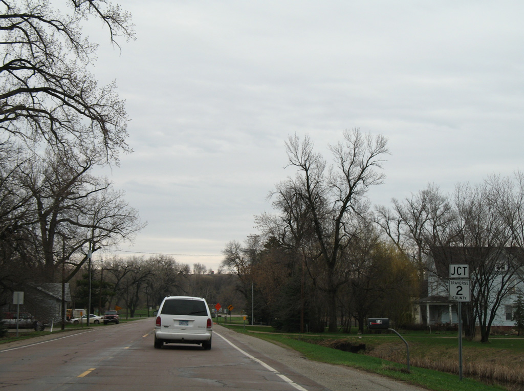
CR 2 meets MN 28 at the east end of Browns Valley.
04/22/07
04/22/07

CR 2 travels through agricultural areas east of Browns Valley.
04/22/07
04/22/07
MN 28 curves southeast from CR 2.
04/22/07
04/22/07

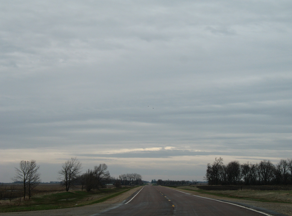
Inclement weather can close MN 28 east of Browns Valley.
04/22/07
04/22/07
Straddling the east side of Big Stone Lake on MN 28 east ahead of 220th Street.
04/22/07
04/22/07
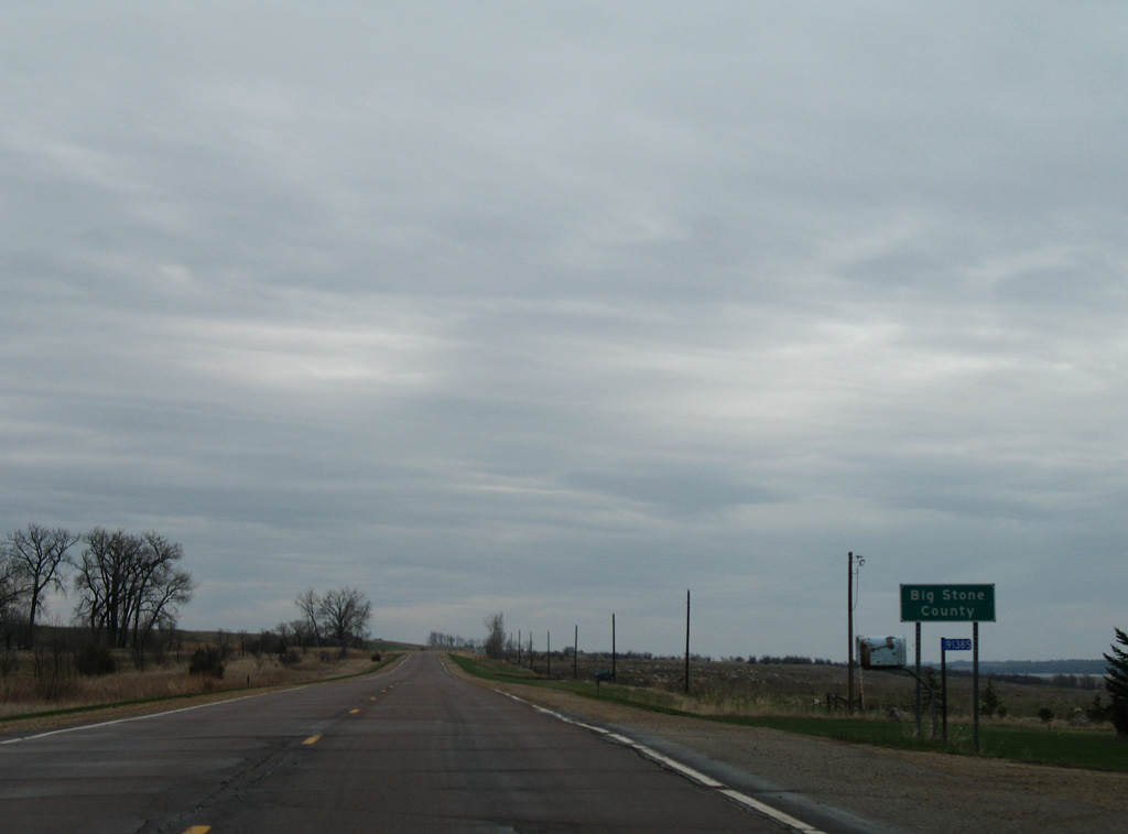
MN 28 east at the Big Stone County line.
04/22/07
04/22/07
Straddling the east side of Big Stone Lake on MN 28 east.
04/22/07
04/22/07
MN 28 turns east along the section line from 900th Avenue near Big Stone Lake toward Beardsley.
04/22/07
04/22/07

Continuing east from Big Stone Lake, MN 28 next meets CR 54 south.
04/22/07
04/22/07

Big Stone County Highway 54 runs south and then east from MN 28 around Beardsley.
04/22/07
04/22/07
Confirming marker for MN 28 east of CR 54.
04/22/07
04/22/07
East from 880th Avenue, MN 28 advances to the rural city of Beardsleyt.
04/22/07
04/22/07
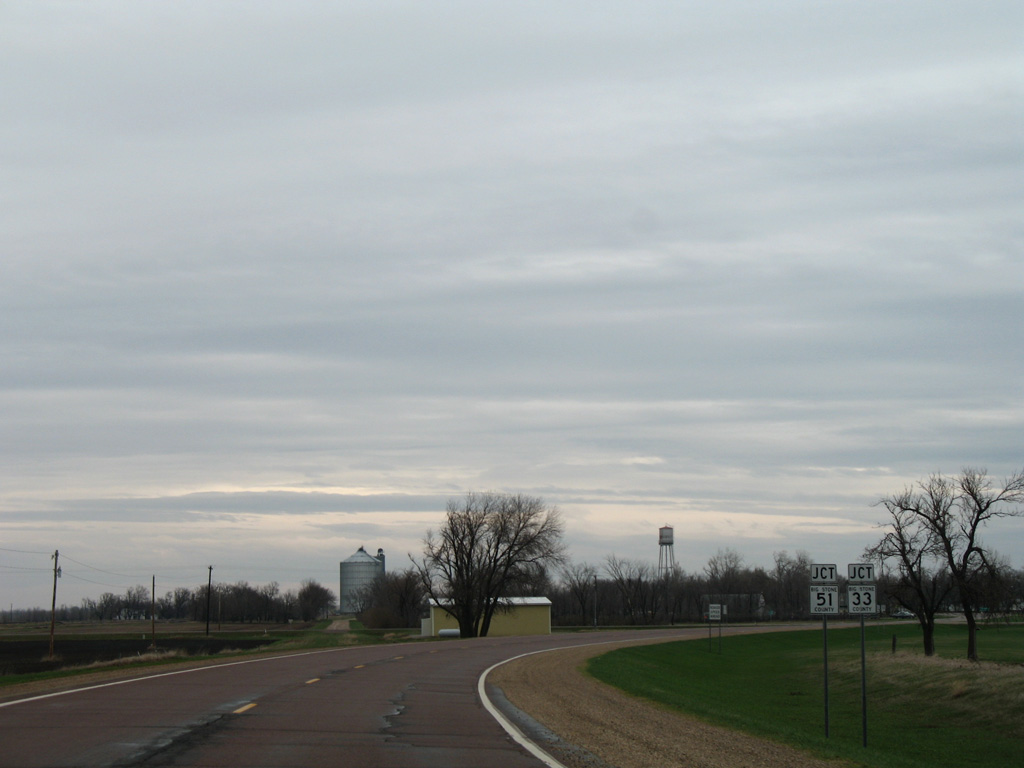
MN 28 shifts south onto Keystone Avenue ahead of CR 33 and 51 at Beardsley.
04/22/07
04/22/07
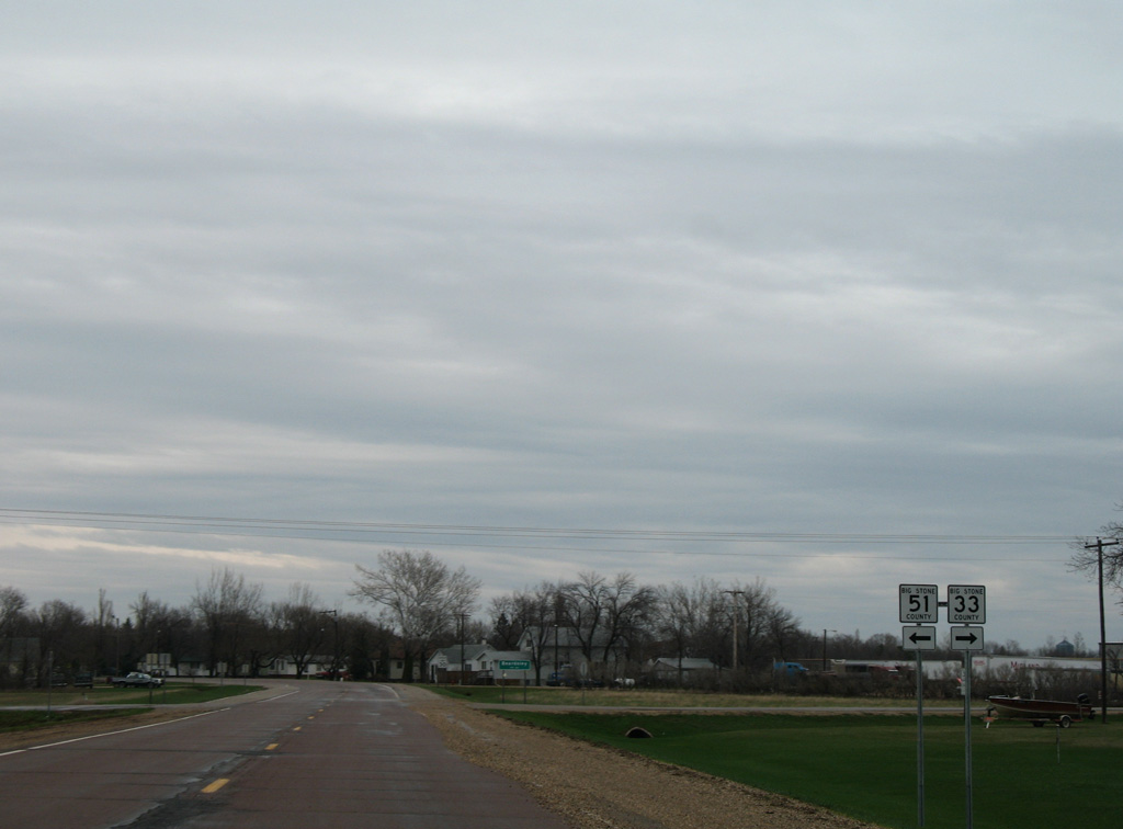
CR 33 south and CR 51 north come together at MN 28 on the west side of Beardsley.
04/22/07
04/22/07
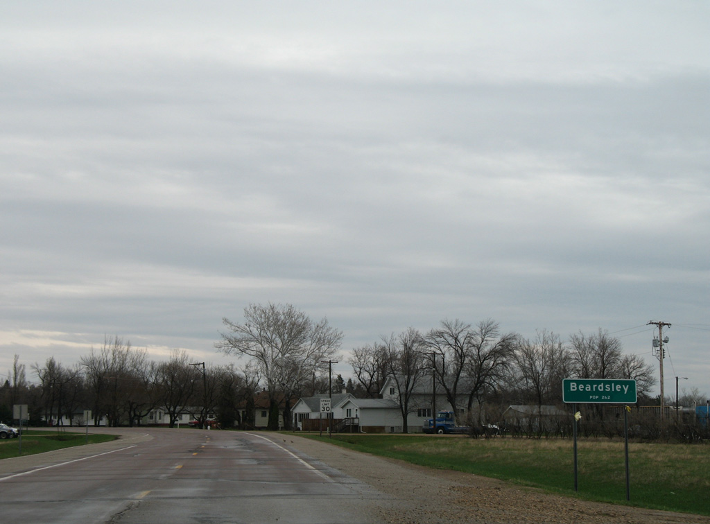
Entering the Beardsley city limits on MN 28 (Keystone Avenue) east.
04/22/07
04/22/07
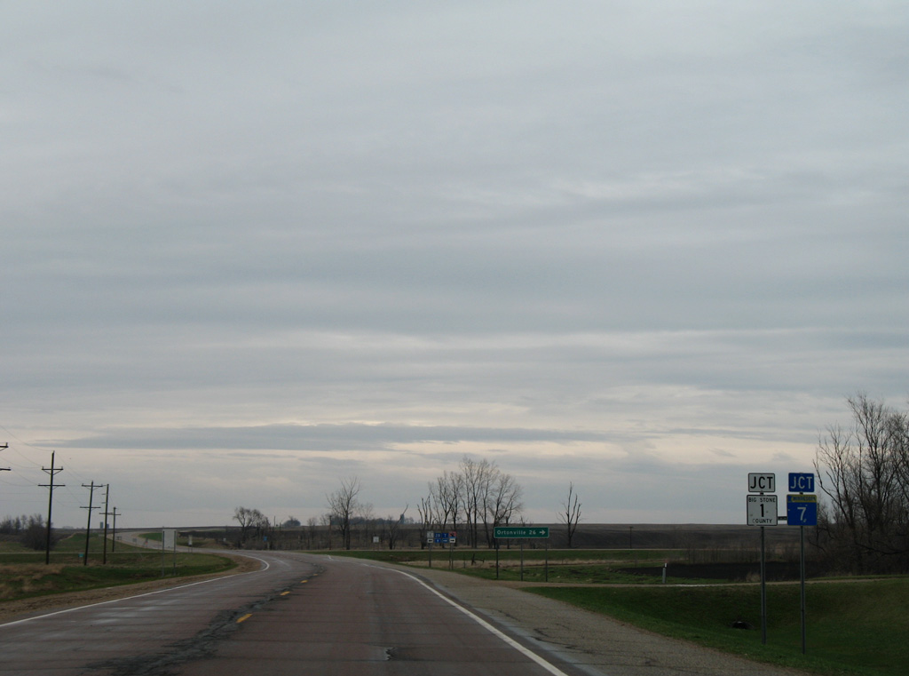
Leaving Beardsley, MN 28 east meets CR 1 north and MN 7 east.
04/22/07
04/22/07
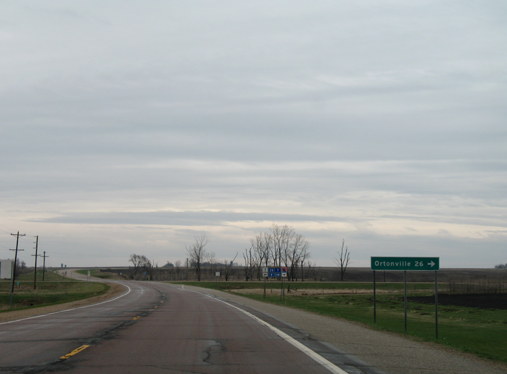
MN 7 runs southeast along Big Stone Lake to reach Ortonsville in 26 miles.
04/22/07
04/22/07

MN 7 travels 194 miles overall from MN 28 near Beardsley to MN 100 in St. Louis Park within the Minneapolis metropolitan area.
04/22/07
04/22/07
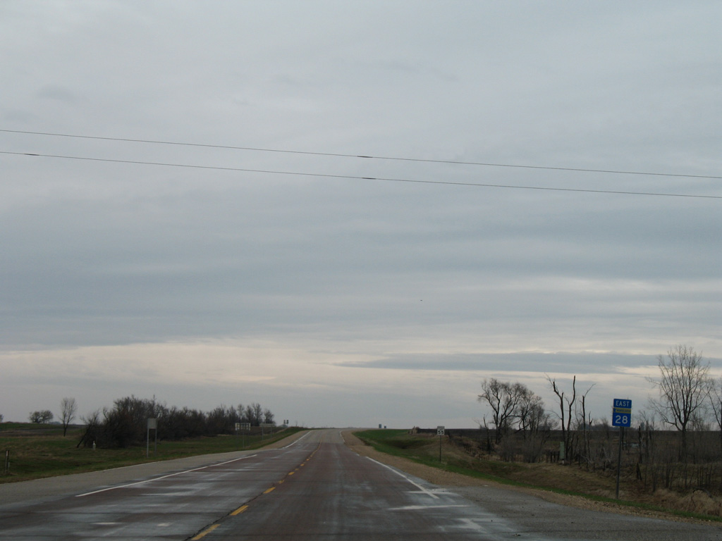
MN 28 continues eastward from MN 7.
04/22/07
04/22/07
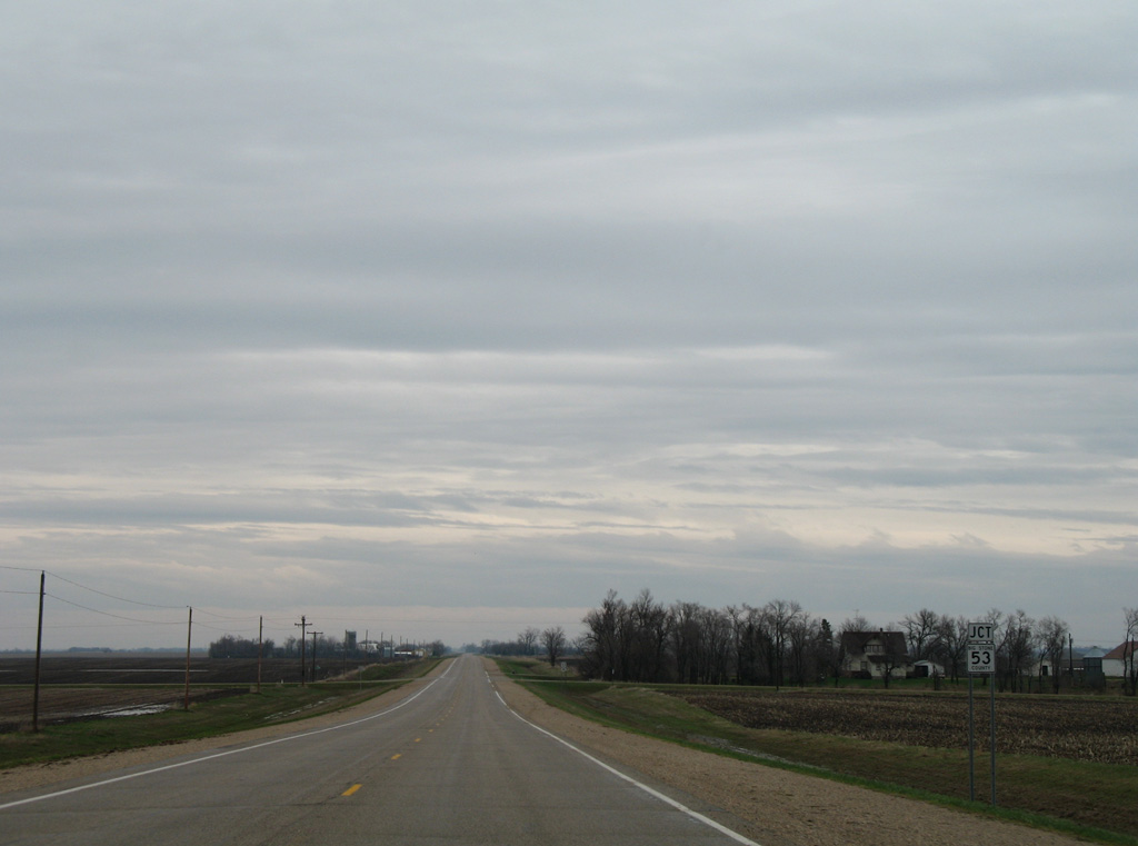
Eastbound ahead of CR 53 on MN 28.
04/22/07
04/22/07
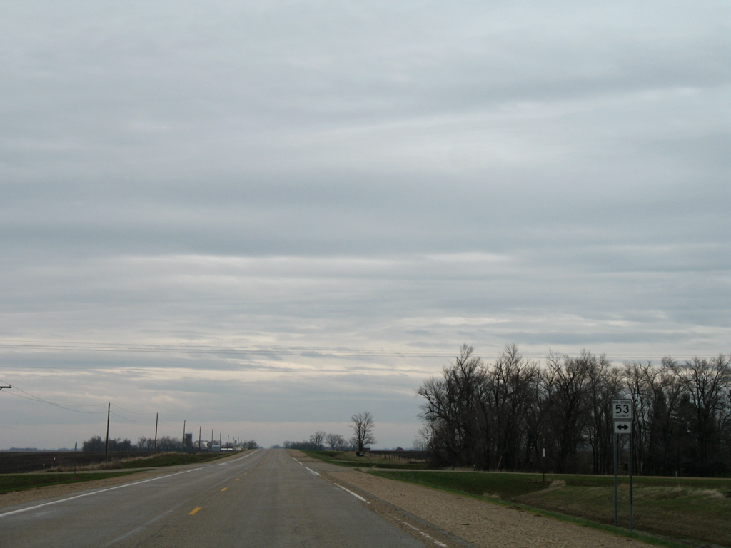
CR 53 leads north and south to rural and agricultural areas from MN 28.
04/22/07
04/22/07
MN 28 continues east one mile from CR 53 to intersect CR 3.
04/22/07
04/22/07

CR 3 (830th Avenue) straddles a section line north and south of MN 28.
04/22/07
04/22/07
Reassurance marker for MN 28 east posted after CR 3.
04/22/07
04/22/07
MN 28 east shifts slightly southward ahead of Barry Lake.
04/22/07
04/22/07
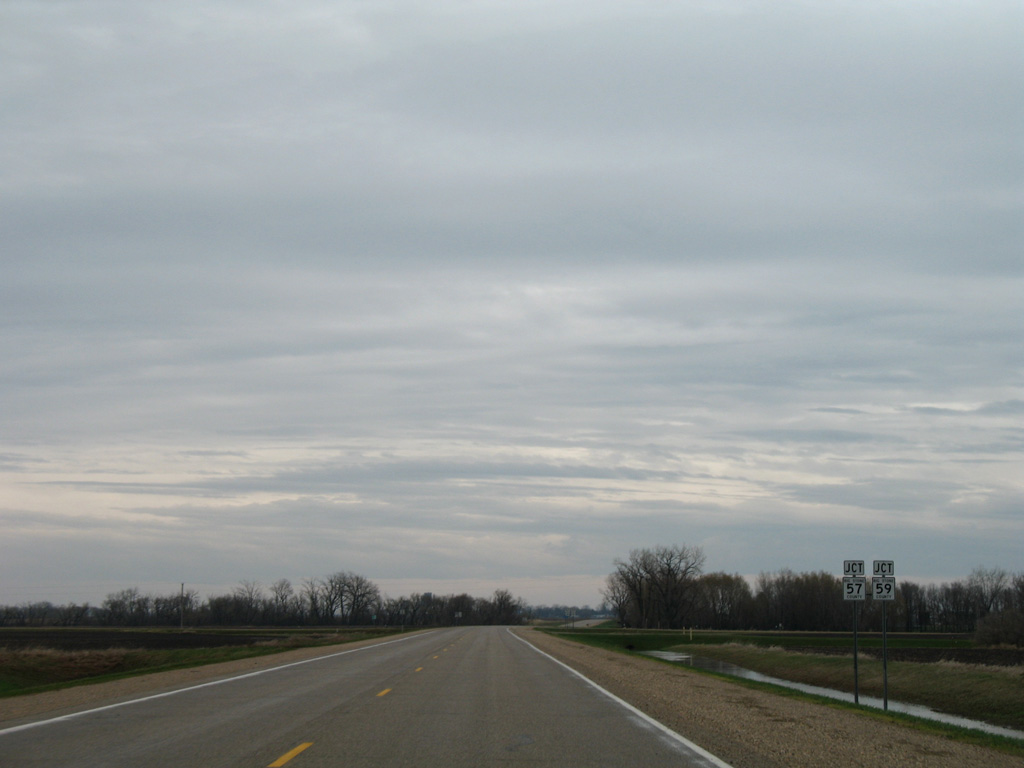
CR 57 north and CR 59 south come together along 810th Avenue on MN 28 east.
04/22/07
04/22/07
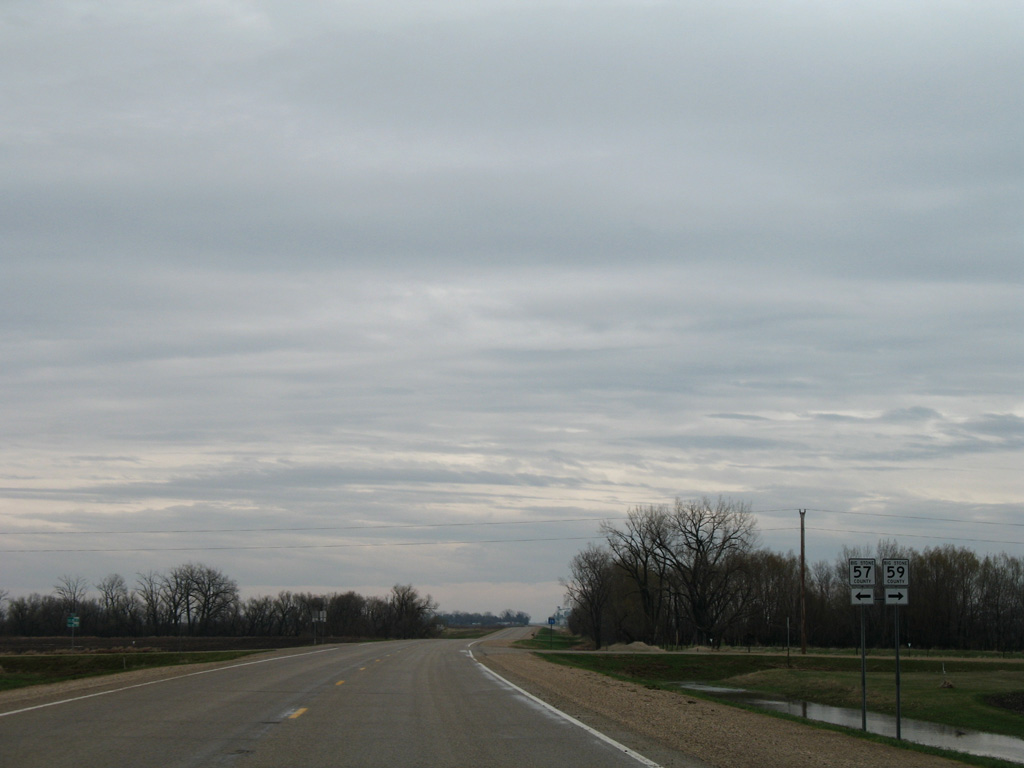
CR 57 runs along the west side of Barry Lake while CR 59 extends south to CR 60 near Big Stone Lake.
04/22/07
04/22/07

CR 57 runs along the west side of Barry Lake while CR 59 extends south to CR 60 near Big MN 28 passes just south of Barry Lake beyond CR 57 and CR 59.
04/22/07
04/22/07

Ponds along MN 28 by Barry Lake are a part of the Allen Wildlife Management Area.
04/22/07
04/22/07

Ponds along MN 28 by Barry Lake are a part of the Allen Wildlife Management Area.
04/22/07
04/22/07
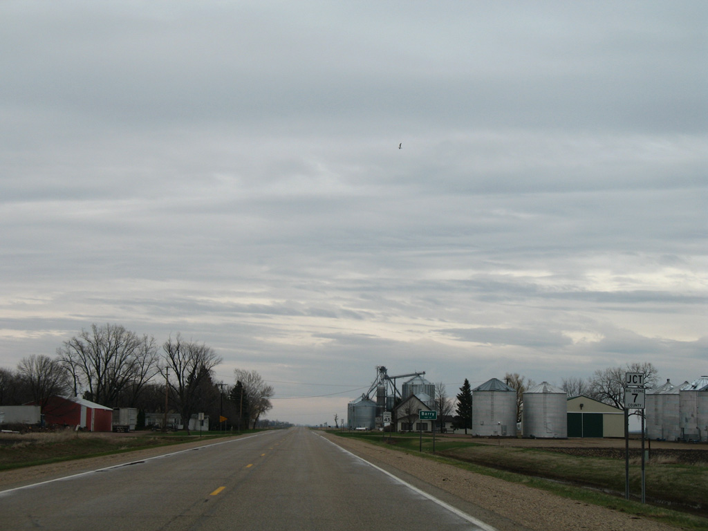
MN 28 enters the rural city of Barry ahead of CR 7 (795th Avenue).
04/22/07
04/22/07
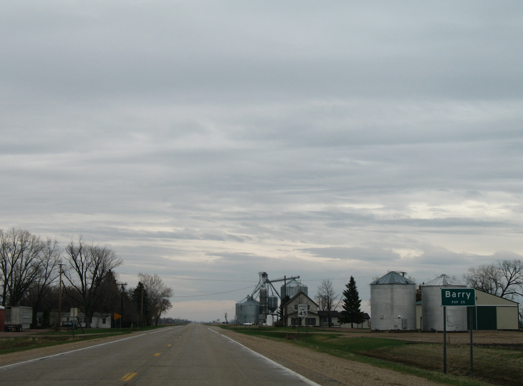
The city of Barry covers an area of just 161 acres.
04/22/07
04/22/07

Big Stone County Highway 7 has an implied overlap with MN 28 between north and south legs.
04/22/07
04/22/07
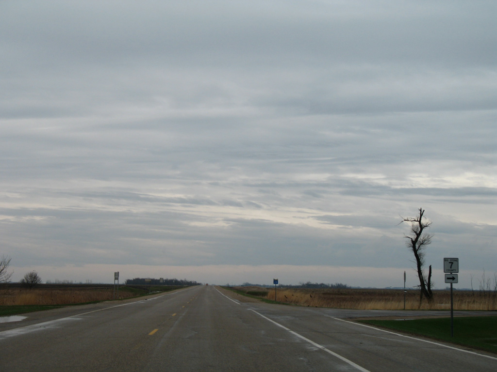
CR 7 leads south from Barry to MN 7 near Big Stone Lake State Park.
04/22/07
04/22/07
Confirming marker for MN 28 east posted beyond CR 7 south and the city of Barry.
04/22/07
04/22/07
MN 28 crosses a causeway between a series of ponds east of Barry.
04/22/07
04/22/07
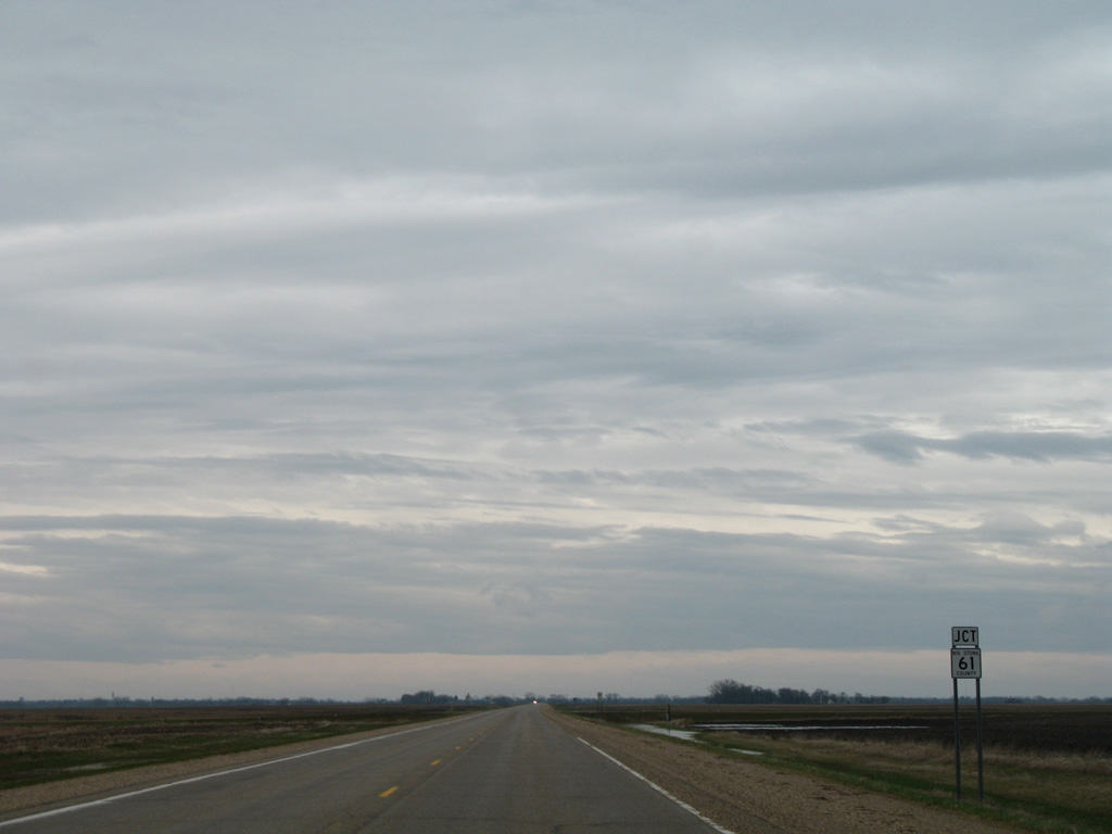
Next on MN 28 east is the intersection with Big Stone County Highway 61.
04/22/07
04/22/07

CR 61 traverses agricultural and wetland areas north and south of MN 28.
04/22/07
04/22/07
MN 28 east of Big Stone County Highway 61.
04/22/07
04/22/07

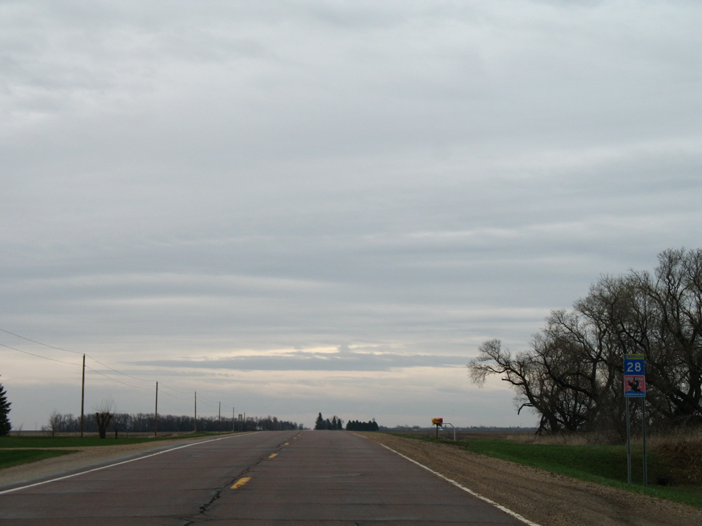
MN 28 curves northeast from CR 35 to circumvent West Toqua Lake.
04/22/07
04/22/07

CR 35 stems south from MN 28 to Big Stone Colony and Lake Leo.
04/22/07
04/22/07

MN 28 curves northeast from CR 35 to circumvent West Toqua Lake.
04/22/07
04/22/07
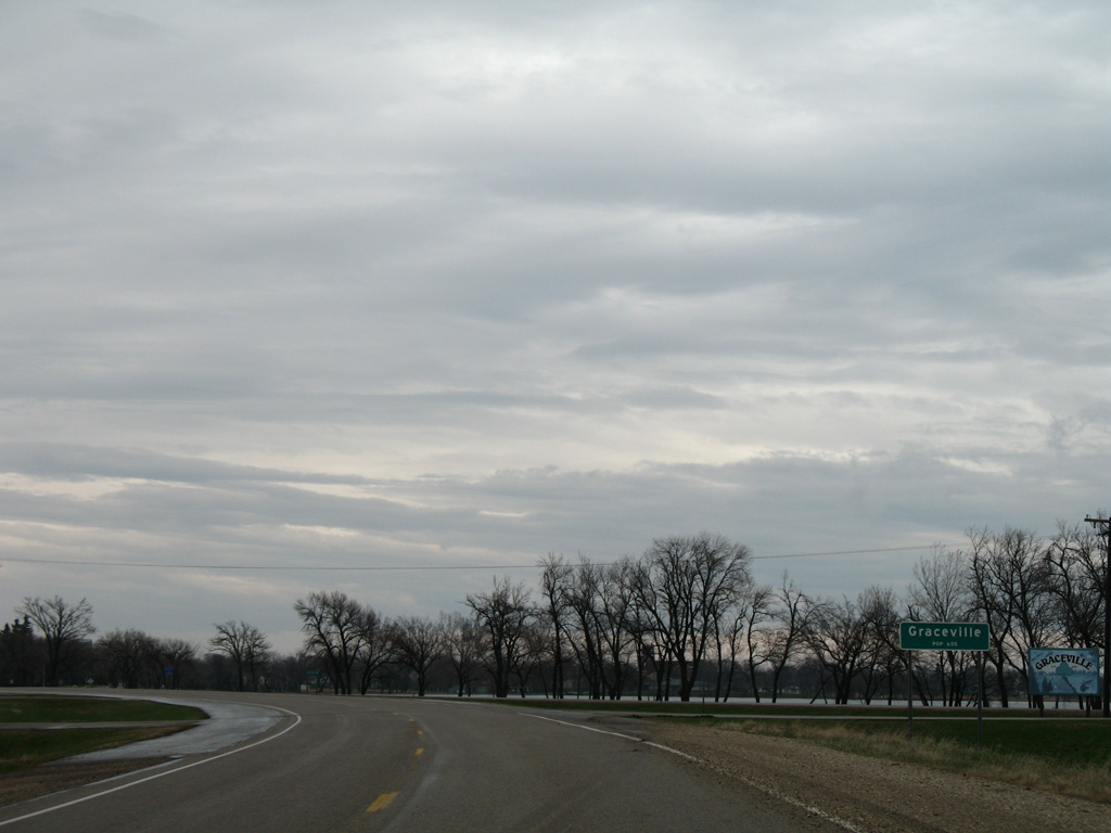
Entering the city of Graceville on MN 28 east.
04/22/07
04/22/07
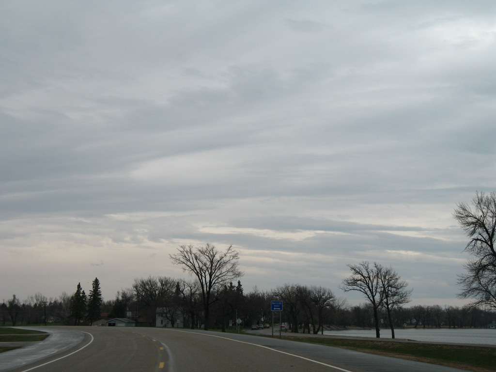
MN 28 straddles the north side of East Toqua Lake into Graceville.
04/22/07
04/22/07
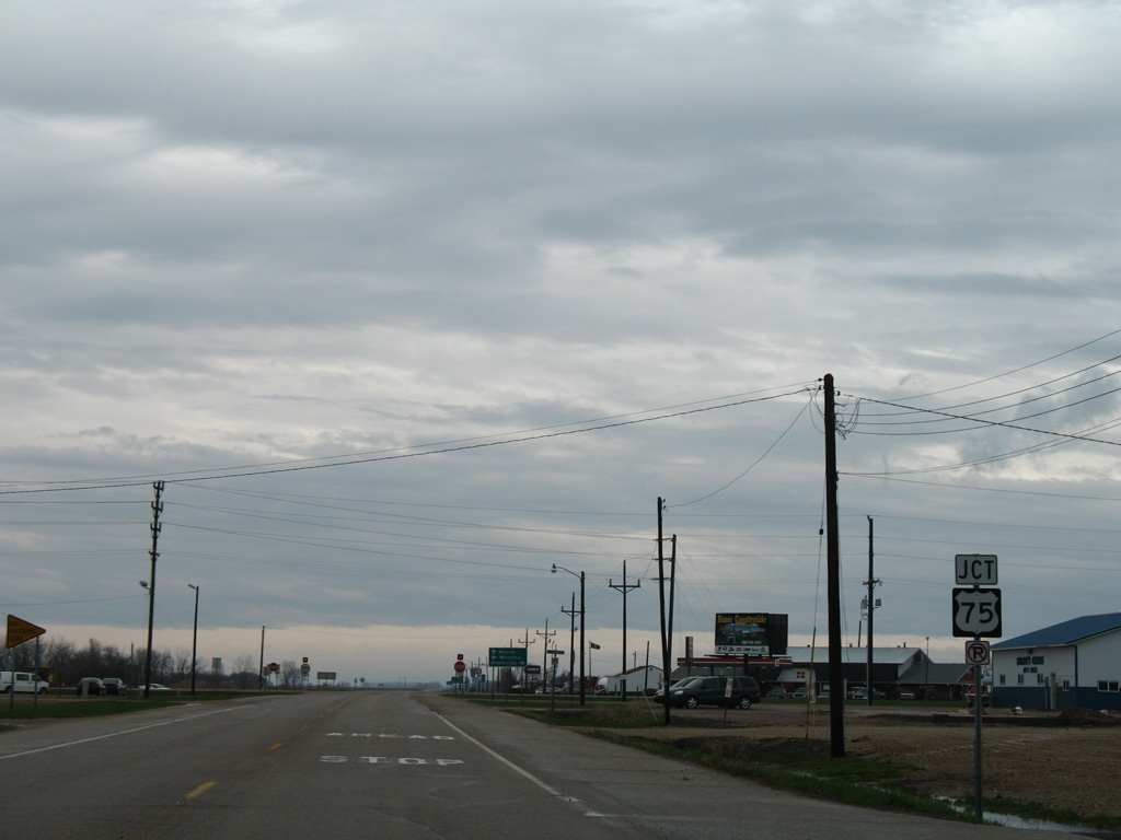
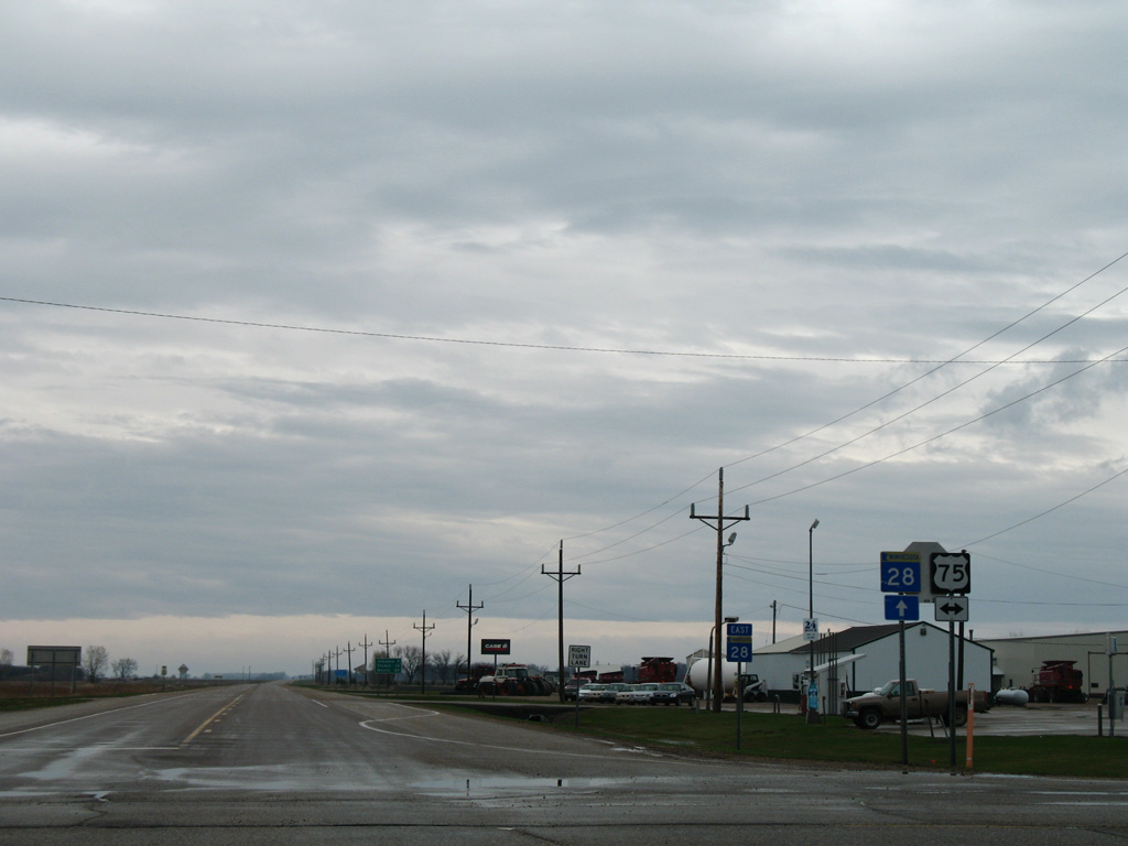
MN 28 and U.S. 75 come together in Graceville.
04/22/07
04/22/07
U.S. 75 travels a rural route north from Graceville to Dumont and Wheaton and south to Clinton and Ortonville.
04/22/07
04/22/07
U.S. 75 travels south through Graceville to a causeway across Lannon Lake.
04/22/07
04/22/07
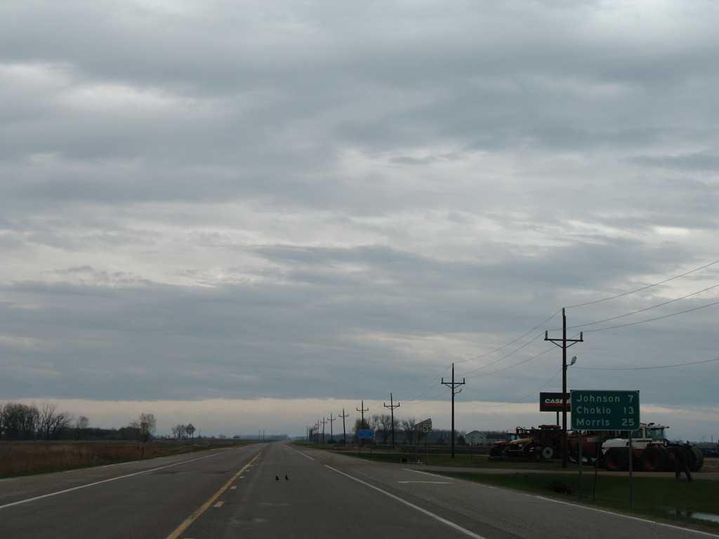
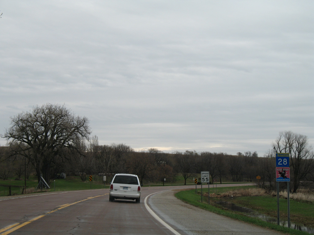
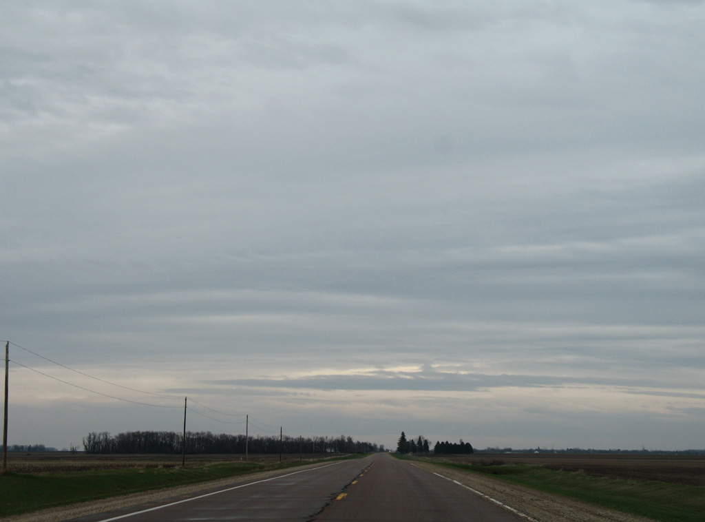
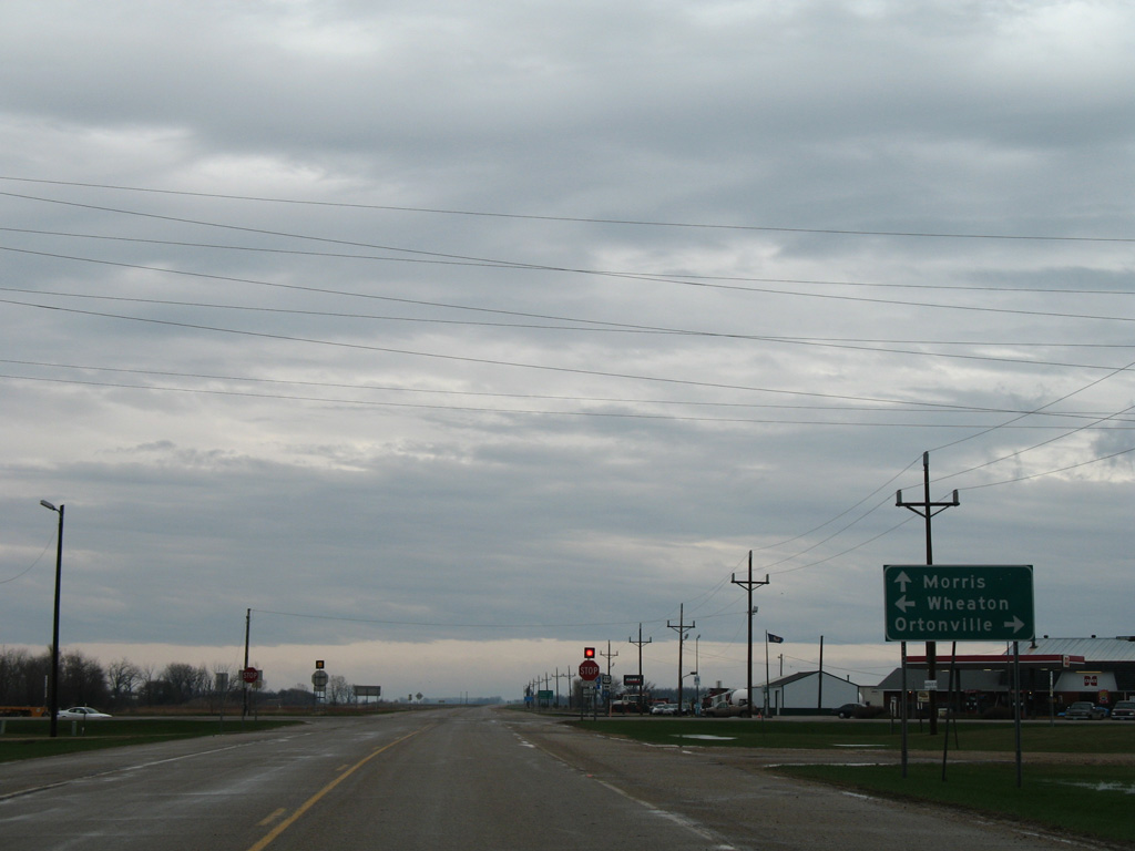
East from Graceville and U.S. 75, MN 28 travels 25 miles to Morris.
04/22/07
04/22/07
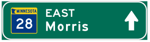

Photo Credits:
- Alex Nitzman: 04/22/07
Page Updated Monday January 26, 2026.