
Route 94

Missouri Route 94 could be considered a Great River Road for the Missouri River. The 136.31 mile route generally follows the course of the river east from Jefferson City to West Alton. Beginning at a cloverleaf interchange where U.S. 54/63 split, the state highway travels a rural course beside the bluffs rising north of the Missouri River through Wainwright, Tebbetts and Mokane to Steedman. East from there the state highway travels a hilly route through Portland to Montgomery County.
The state highway again travels along bluffs north of the Missouri River from Bluffton east to Gore. Route 94 directly parallels the river east from there to Bernheimer ahead of the flats north of Goose Island. East from La Charrette Bottom and Marthasville, the road again meanders into hills north of Hancock Bottom and west of Darst Bottom. This stretch brings Route 94 through Weldon Springs State Wildlife Area and the greater St. Louis metropolitan area.
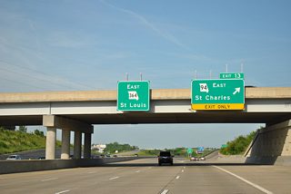
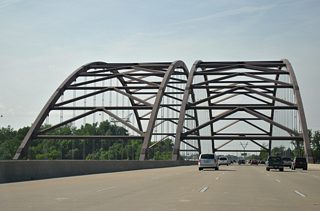
Emerging from the wilderness area, Route 94 transitions into a multi-lane arterial through Weldon Spring and a full freeway as part of the Missouri 364 alignment through south St. Peters. Route 364 branches southeast to Veterans Memorial Bridge into St. Louis County while Route 94 turns northeast along 1st Capitol Drive into St. Charles. An overlap with Business Loop I-70 lies ahead of Lindenwood University, with Route 94 traveling the street grid of St. Charles north from Downtown to an interchange with Route 370. A rural arc takes Route 94 across the flats between the Missouri and Mississippi Rivers to U.S. 67 just south of the Clark Bridge into Illinois.
Missouri Route 94 Guides
Missouri Route 364 East - 8 photos
Business Loop I-70 East - St. Charles - 19 photos
Missouri Route 364 West - 32 photos
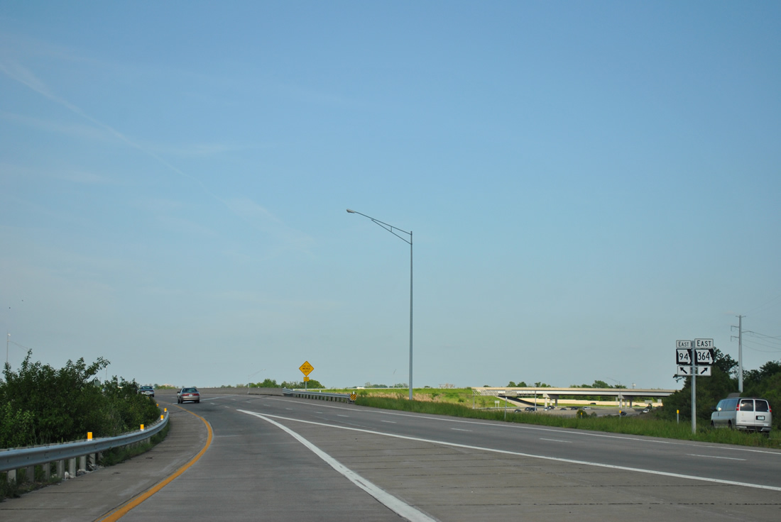
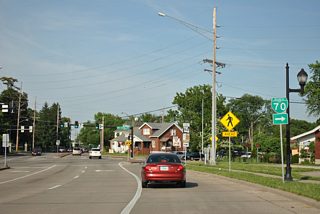
Missouri 94 takes a single lane off-ramp from the Missouri 364 freeway onto First Capitol Drive east. The state highway combines with the east end of South St. Peters Parkway, opposite its ramp to MO 364 east to St. Louis.
05/03/12
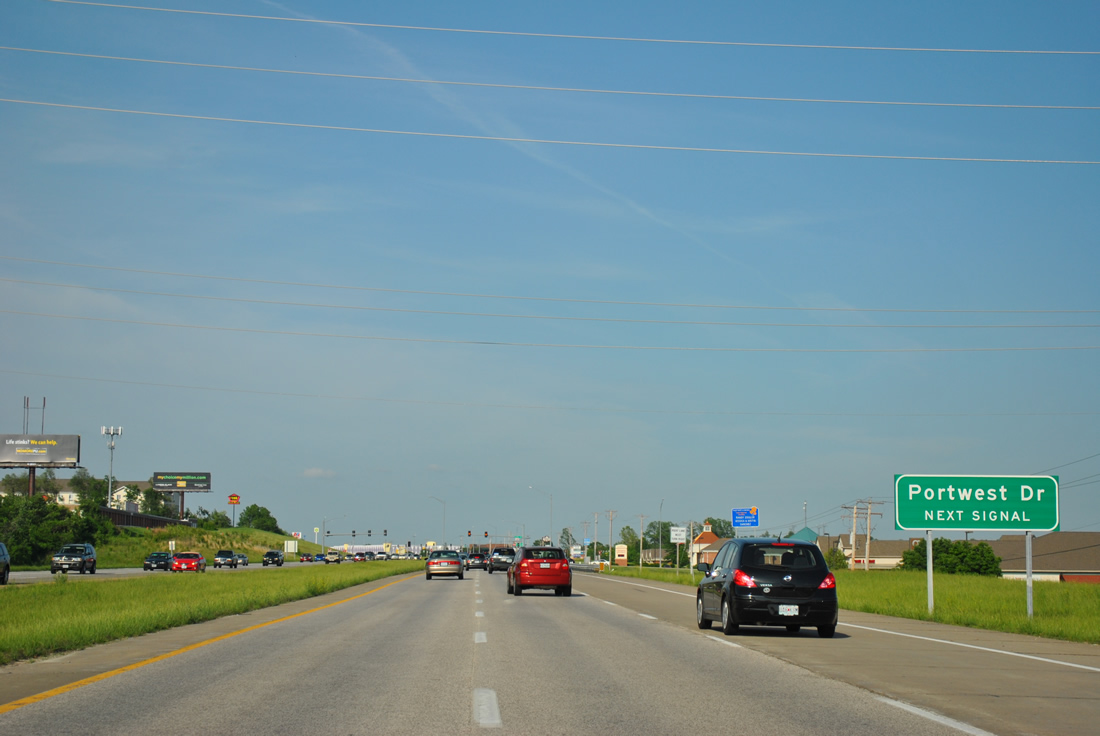
Missouri 94 (First Capitol Drive) leaves the freeway and quickly intersects Portwest Drive.
05/03/12
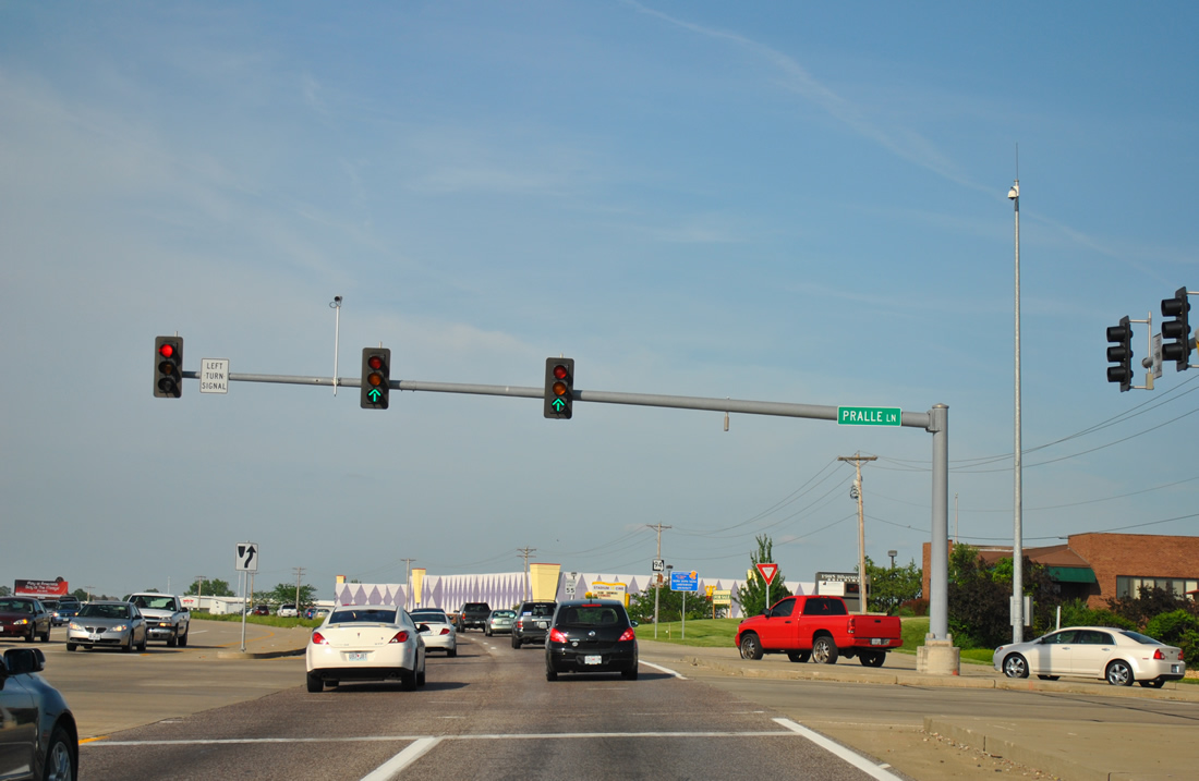
Pralle Lane follows at the next traffic light, joining Missouri 94 with Old Highway 94 and Town West Drive to the north and a number of apartment communities and subdivisions to the south.
05/03/12
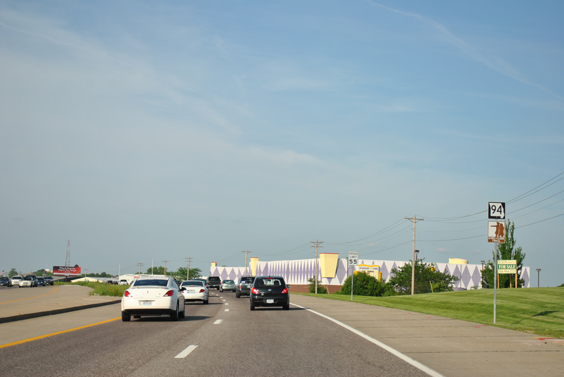
Missouri 94 continues the Lewis and Clark Trail throughout St. Charles.
05/03/12
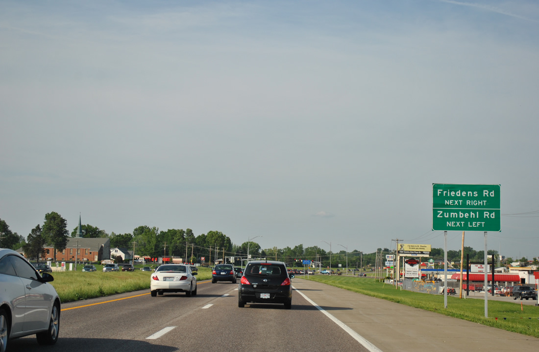
Passing through an industrial park area, Missouri 94 (First Capitol Drive) approaches the signalized intersection with Friedens Road south and Zumbehl Road north.
05/03/12
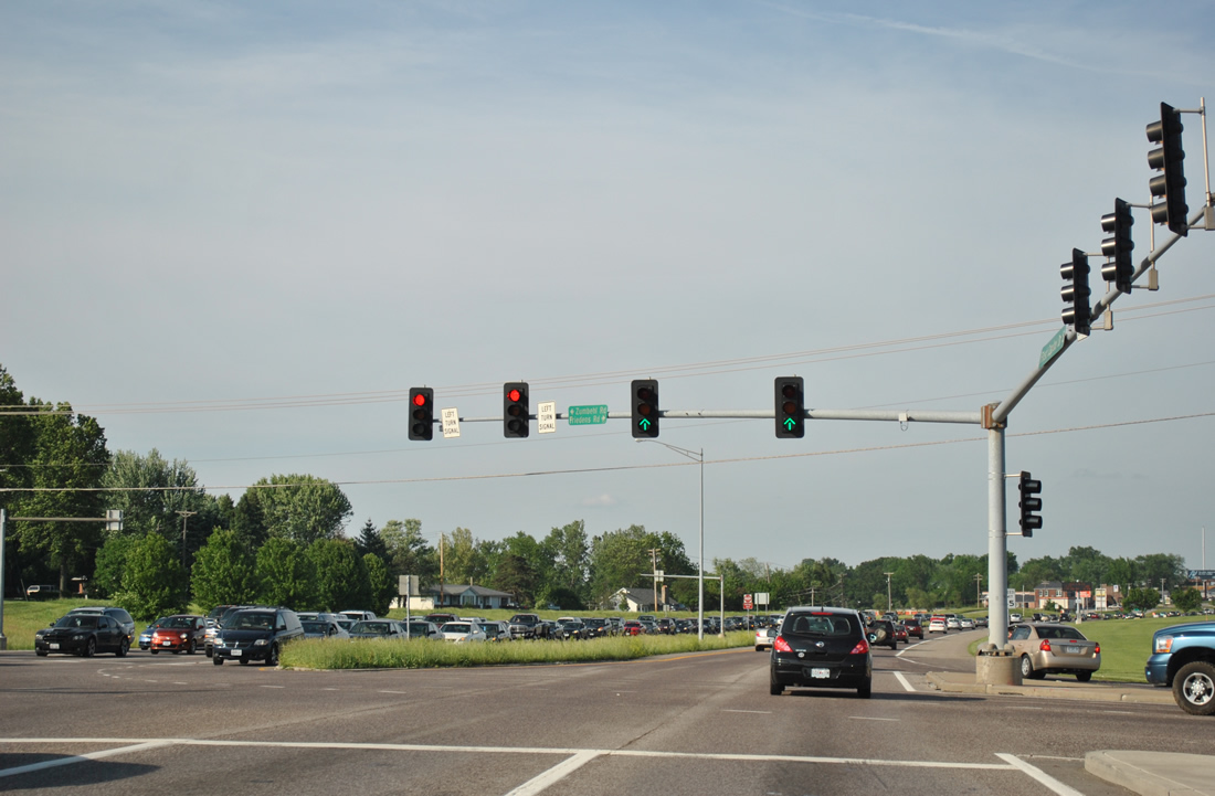
Friedens Road angles southeast from Missouri 94 to Arena Parkway at River Road; Zumbehl Road continues the road north to a commercialized junction with Interstate 70 at West Clay Street.
05/03/12
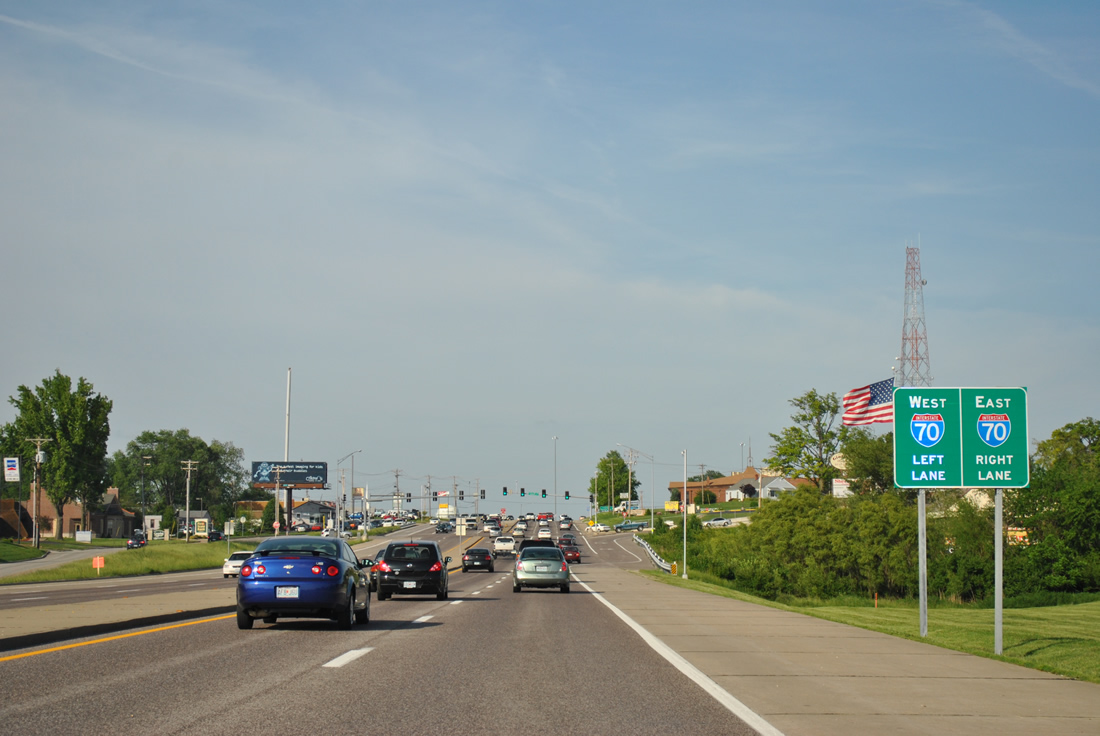
The first sign of the upcoming single point urban interchange (SPUI) with Interstate 70 lies ahead of Sherman Drive.
05/03/12
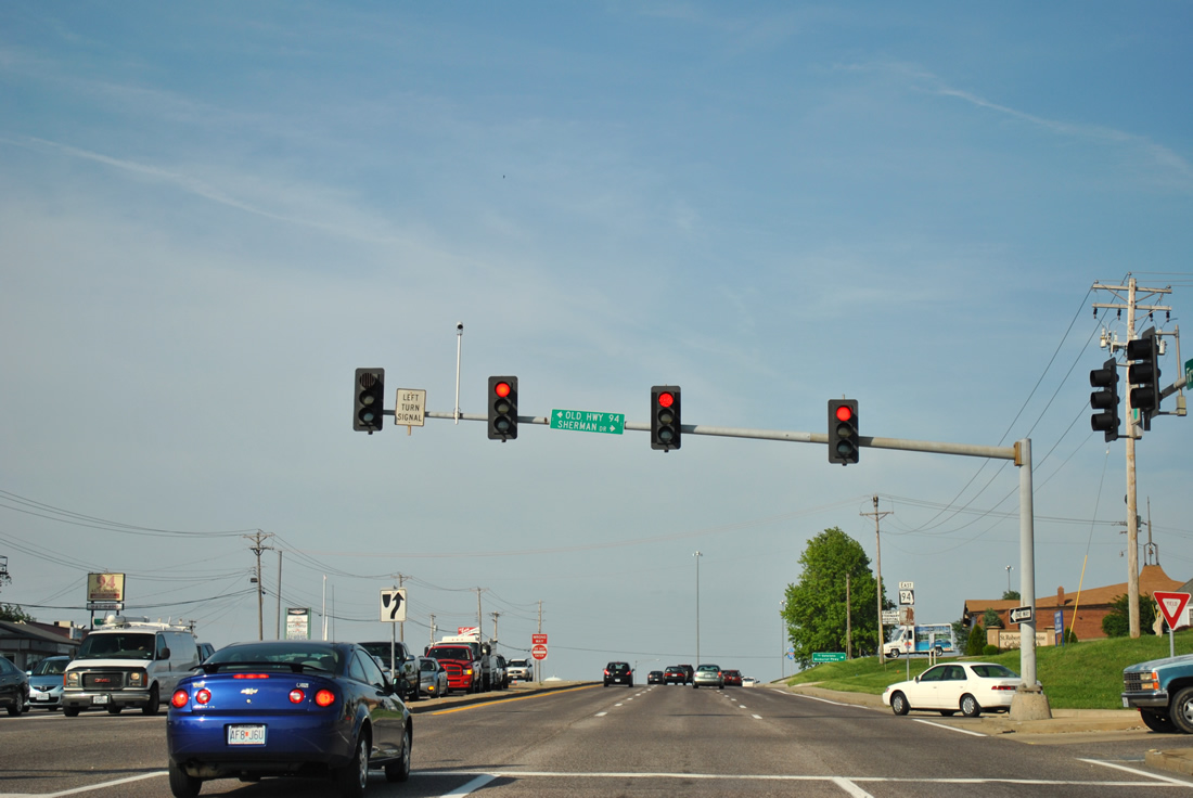
Old Highway 94 ties into Missouri 94 (First Capitol Drive) opposite Sherman Drive, a local road to a town home and apartment community.
05/03/12
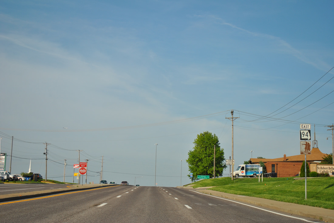
Eastbound reassurance marker posted after Missouri 94 overtakes its original alignment east to Interstate 70.
05/03/12
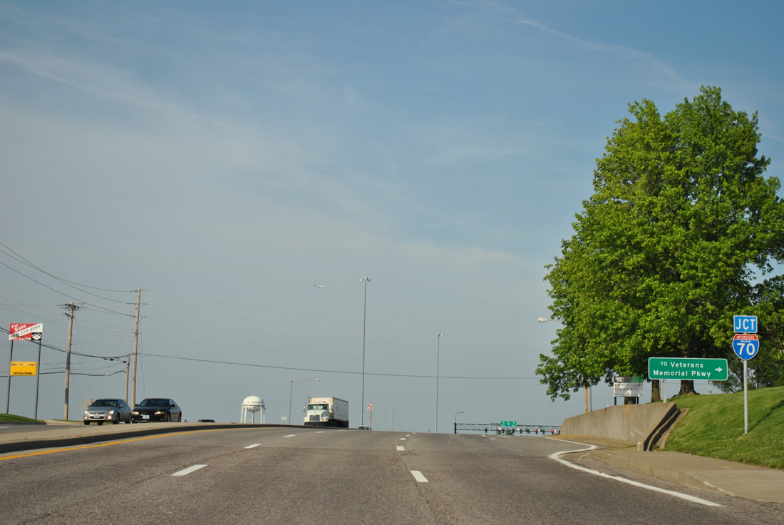
A folded diamond interchange precedes I-70, joining MO 94 with Veterans Memorial Parkway. Veterans Memorial Parkway constitutes an off and on again frontage road to I-70 throughout St. Charles County.
05/03/12
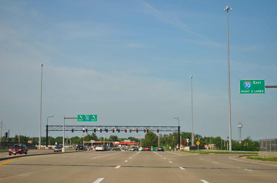
Motorists bound for Interstate 70 east to St. Louis leave Missouri 94 (First Capitol Drive). The former diamond interchange with I-70 was upgraded to a SPUI by late April 2008.
05/03/12
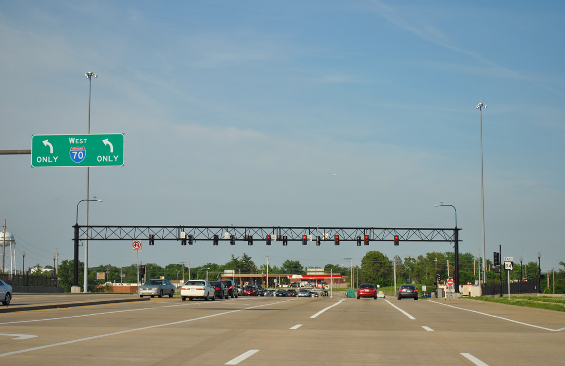
Two lanes provide access onto Interstate 70 west to Wentzville, Columbia and Kansas City from Missouri 94 east within the SPUI. Business Loop I-70 begins here and overlays MO 94 east to Downtown St. Charles.
05/03/12
Photo Credits:
- ABRoads: 05/03/12
Connect with:
Page Updated Monday December 02, 2013.