
NC 16 originates in the Union County town of Waxhaw. Measuring 167.64 miles in length north to Ashe County, NC 16 is part of a multi state highway with Virginia Route 16. SR 16 extends 63.63 miles north to U.S. 19-460 Business near Tazewell.
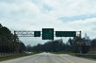
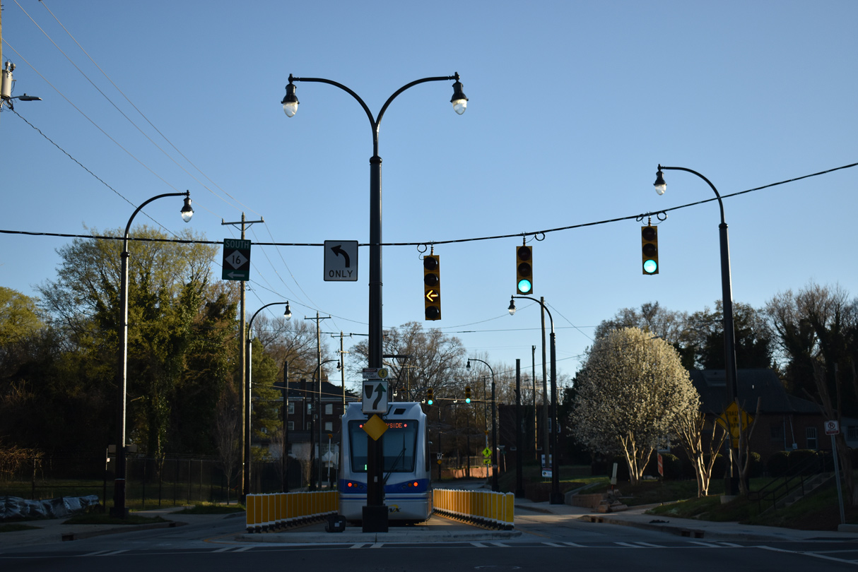
Traveling north from NC 75 to the town of Weddington, NC 16 joins suburban areas with the city of Charlotte along Providence Road. NC 16 heads north toward Uptown in Charlotte, where it combines with I-277/U.S. 74 along the John Belk Freeway and then I-277 along the Brookshire Freeway to Interstate 77.
NC 16 extends the Brookshire Freeway northwest to Idaho Drive at Oakview Terrace, where it transitions into an urban arterial along Brookshire Boulevard. NC 16 (Brookshire Boulevard) continues northwest from a SPUI with Interstate 85 to I-485 by Mountain Island Village.
Crossing Mountain Island Lake, NC 16 enters northeastern Gaston County through northern reaches of the Mount Holly city limits. Continuing north along a controlled access expressway, NC 16 Business separates from NC 16 ahead of Lowesville and the Lincoln County line. The two routes switch sides ahead of NC 73, to the west of Lake Norman.
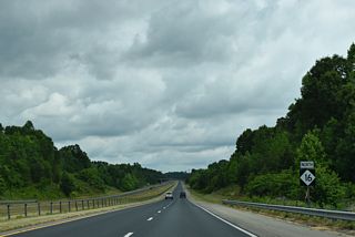
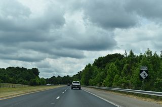
NC 16 and NC 16 Business converge northwest of Denver, where the expressway along NC 16 ends in southern Catawba County. NC 16 proceeds northwest to the city of Newton, where a second business route branches to the west. NC 16 Business returns to NC 16 north of Interstate 40 in the city of Conover.
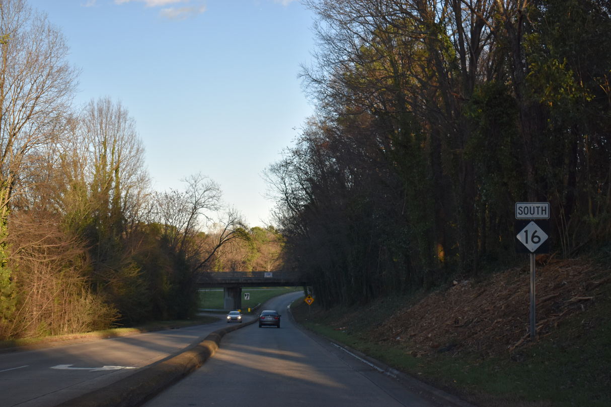
Becoming a rural highway, NC 16 advances north across the Catawba River into Alexander County. Within the county seat of Taylorsville, NC 16 overlaps with NC 90 for 0.46 miles along Main Avenue through the business district.
The state route resumes a northward course from Taylorsville across the Brushy Mountains to NC 18 at Moravian Falls and the Wilkes County seat of Wilkesboro. NC 16 combines with U.S. 421 west from NC 18, 8.17 miles to New Browns Ford Road (SR 1143) in west Wilkesboro.
Resuming north, NC 16 continues from U.S. 421 to Millers Creek and across the Blue Ridge Mountains at Horse Gap. NC 88 combines with NC 16 west 3.15 miles to Orion and U.S. 221 outside the Ashe County seat of Jefferson. NC 88 joins U.S. 221 south while NC 16 overlaps U.S. 221 north for 1.31 miles by Little Phoenix Mountain. NC 16 exits the state as Virginia Route 16 near Grassy Creek en route to U.S. 58 at Mouth of Wilson.
![]() |
NC 16 continues the Brookshire Freeway northwest 1.8 miles from I-77 and I-277 to Idaho Drive. 03/12/22 |
A parclo B2 interchange joins NC 16 with Beatties Ford Road near Johnson C. Smith University. Beatties Ford Road heads north to Interstate 77 at Exit 37 and south to W 5th Street outside of Downtown. 03/12/22 |
Reassurance marker posted along NC 16 after Beatties Ford Road. Brookshire Boulevard provides a direct route to Interstate 85 south from Downtown Charlotte. 03/11/22 |
NC 16 joins the Charlotte metropolitan area with the cities of Newton and Hickory. The Alexander County seat of Taylorsville lies further at the cross roads with U.S. 64 in 59 miles. The Brookshire Freeway transitions into an at-grade arterial ahead at Idaho Drive. 03/11/22 |
Idaho Drive north connects with NC 16 east at a set of flashers. Idaho Drive connects Brookshire Boulevard with Rozzelles Ferry Road nearby. Both roads represent the pre-freeway alignment of NC 16. 03/11/22 |
Three blocks of the city street grid tie into NC 16 (Brookshire Boulevard) ahead of the single point urban interchange (SPUI) with Interstate 85. 03/11/22 |
I-85 travels east across the city of Charlotte into neighboring Concord. The freeway southbound continues west to Gastonia and Spartanburg, South Carolina. 03/11/22 |
Motorists joining Interstate 85 north next meet Beatties Ford Road and I-77/U.S. 21. 03/11/22 |
Advancing northwest along Brookshire Boulevard, NC 16 enters the Hoskins and Homestead areas of Charlotte. 06/01/07 |
NC 16 (Brookshire Boulevard) northbound at the six-ramp parclo interchange with Interstate 485. I-485 began here previously. 06/01/07 |
Mt. Holly-Huntersville Road (SR 2004) parallels I-485 east to Mountain Island Village and west to Shuffletown. 05/31/21 |
2019-20 construction converted NC 16 (Brookshire Boulevard) at Mt. Holly-Huntersville Road (SR 2004) into a Continous Flow Intersection (CFI). 05/31/21 |
The city of Newton is 30 miles to the northwest of Mt. Holly-Huntersville Road along NC 16. 05/31/21 |
Rozzelles Ferry Road (old NC 16) north converges with NC 16 (Brookshire Boulevard) at the traffic light with Nance Cove Road (SR 2253). 05/31/21 |
NC 16 crosses Mountain Island Lake over the Rozzelles Ferry Bridge. 05/31/21 |


Lucia Riverbend Highway (SR 1992) branches 1.09 miles west from NC 16 to NC 273 (Mountain Island Highway).
05/31/21

Continuing north from Lucia Riverbend Highway to NC 16 Business, NC 16 upgrades to a limited access highway.
05/31/21
![]() |
NC 16 leads south from Wilkesboro into the Brushy Mountains en route to Taylorsville. The state route enters Alexander County at Kilby Gap between Moore and Chestnut Mountains. 07/09/10 |
NC 16 enters the county seat of Taylorsville and intersects NC 90 (Main Avenue). NC 90 acts as a business route for U.S. 64, which bypasses town to the south. 07/09/10 |
NC 16 follows NC 90 east along Main Avenue for one half mile. 07/09/10 |


An 18.74 mile long route, NC 273 runs south from Lucia through Mount Holly to Belmont and NC 279 by Lake Wylie.
05/31/21

NC 16 Business concludes at a trumpet interchange 0.36 miles east of NC 273 (Lucia Riverbend Highway).
05/31/21

The limited access portion of NC 16 ends at the intersection with Lucia Riverbend Highway (SR 1992) in one mile.
05/31/21

Lucia Riverbend Highway (SR 1992) leads 1.09 miles west to NC 273 (Mountain Island Highway).
05/31/21


Rozzelles Ferry Road (SR 2373) branches south from NC 16 (Brookshire Boulevard) along the previous alignment for the state route.
05/31/21

A six-ramp parclo interchange joins NC 16 (Brookshire Boulevard) beyond a heavily commercialized stretch.
05/31/21

Mt. Holly-Huntersville Road (SR 2004) meets NC 16 at a Continuous Flow Intersection (CFI) by the Mountain Island Village community.
05/31/21

The intersection with Mt. Holly-Huntersville Road was reconfigured into a CFI during 2019-20 construction.
05/31/21

The outer loop of Interstate 485 heads south from NC 16 along the west side of Charlotte to Charlotte Douglas International Airport (CLT) and I-77 near Pineville.
05/31/21

Advancing toward the single point urban interchange with Interstate 85 on NC 16 (Brookshire Boulevard) south.
06/01/07

NC 16 (Brookshire Boulevard) meets Interstate 85 between the Hoskins and Oakwview Terrace neighborhoods in Charlotte.
06/01/07

NC 16 (Brookshire Boulevard) splits with Idaho Drive, the former alignment of the state route to Rozzelles Ferry Road.
03/11/22

Idaho Drive represents the last at-grade intersection before NC 16 upgrades into the Brookshire Freeway.
03/11/22

NC 16 reaches the off-ramp for Beatties Ford Road a half mile ahead of I-77/U.S. 21 and the transition to Interstate 277. Beatties Ford Road heads south to Johnson C. Smith University and W 5th Street.
03/11/22


NC 16 separates from I-277 south / U.S. 74-NC 27 (John Belk Freeway) west at Exit 2 A. NC 16 follows E 4th Street north to McDowell Street (old NC 27) west one block to E 3rd Street.
03/12/22

McKee Road (SR 3445) west and Ballantyne Commons Parkway (SR 4979) east come together at NC 16 (Providence Road) by the Promenade at Providence retail center.
11/20/21
![]() |
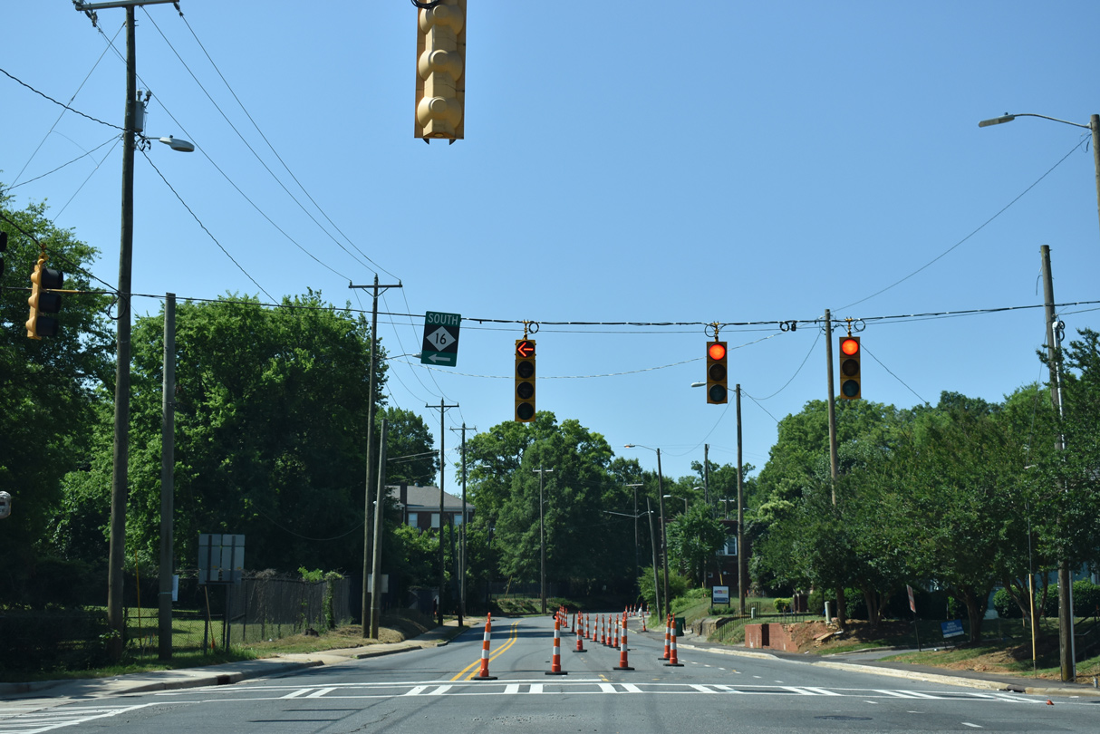
Beatties Ford Road south at the entrance ramp for NC 16 (Brookshire Freeway) south in the Biddleville neighborhood of Charlotte. 05/26/19, 03/12/22 |
The ramp for NC 16 south from Beatties Ford Road extends east from French Street. 03/12/22 |
Photo Credits:
05/26/19, 03/12/22 by AARoads
Connect with:
Interstate 77
Interstate 85
Interstate 277
Interstate 485 - Charlotte Beltway
U.S. 29
U.S. 64
U.S. 70
U.S. 74
Page Updated 02-02-2023.