
U.S. 64
U.S. 64 is the longest numbered route in the state, stretching over 600 miles from the Tennessee state line in Cherokee County to Whalebone at Nags Head on the Outer Banks. Entering the Tarheel State with U.S. 74, U.S. 64 travels 16 miles from Isabella, Tennessee to Ranger. Just east of there U.S. 64/74 join U.S. 29/129 for seven miles to the Cherokee County seat of Murphy.
U.S. 64 leaves U.S. 29-74-129 at Murphy and continues east across southern reaches of Clay, Macon, Jackson and Transylvania Counties. This includes a realignment completed in 2009 from Murphy east to NC 141. The stretch between Murphy and U.S. 23/441 at Franklin travels to Hayesville, Chatuge Lake, Shooting Creek and Rainbow Springs.
U.S. 64 combines with U.S. 23/441 to bypass Franklin to the south while U.S. 64 Business serves Hayesville. Once outside of Franklin, U.S. 64 reduces to two lanes and heads southeasterly to Highlands alongside NC 28. MSR 28 branches south from U.S. 64 for Pine Mountain, Georgia as U.S. 64 turns back to the northeast to Cashiers, Sapphire and Cherryfield.
U.S. 64 intersects the north end of U.S. 178 in central Transylvania County near the town of Rossman. U.S. 64 expands to four lanes on the nine miles from U.S. 178 to the Transylvania County seat of Brevard. Combined with NC 280, U.S. 64 provides a direct route to Interstate 26 and the Asheville metropolitan area to the northeast.
U.S. 64 joins U.S. 276 for three miles between Downtown Brevard and NC 280 before turning eastward to Etowah and Hendersonville. Through Brevard, a U.S. 64 Truck route follows Caldwell Street one block north of U.S. 64 (Broad Street). A longer U.S. 64 Truck route follows U.S. 74 and Interstate 40 between Hendersonville and Murphy.
U.S. 64 North Carolina Guides
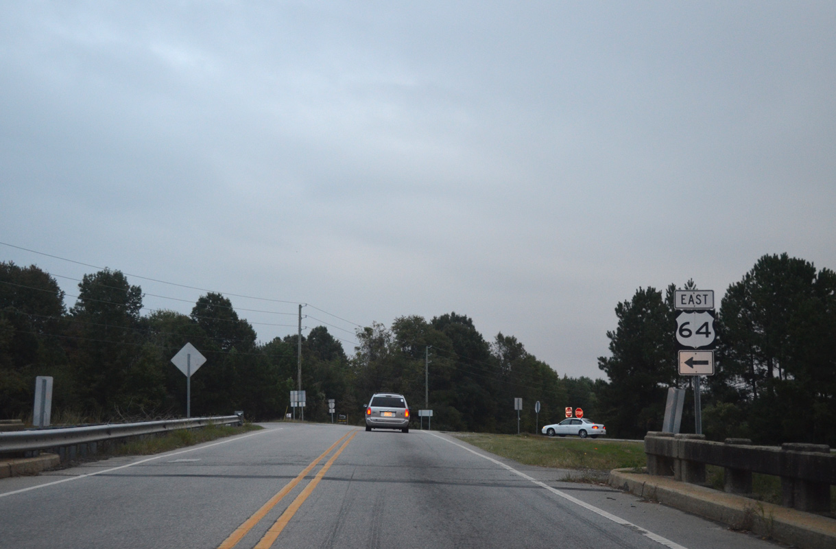
East
U.S. 64-74 - Tennessee to Murphy - 19 photos
Hayesville to Brevard - 13 photos
I-87/U.S. 64 - Raleigh to Zebulon - 42 photos
Rocky Mount to Tarboro - 50 photos
Princeville to Williamston - 48 photos
Dare County - 3 photos
West
Washington County - 17 photos
I-87/U.S. 64 - Zebulon to Raleigh - 33 photos
Transylvania County - 2 photos

Macon County - 54 photos

Clay / Cherokee Counties - 39 photos
North from Rutherfordton, U.S. 64 heads to Morganton and Interstate 40. An overlap originally carried both U.S. 64 and U.S. 70 from Morganton eastward to Statesville. U.S. 64 later shifted to a route north via NC 18 to Lenoir and east via NC 90 to Taylorsville and Statesville.
East from Statesville, U.S. 64 parallels Interstate 40 to Mocksville before branching southward to Lexington and Asheboro. The highway expands to four lanes from Asheboro east to Siler City, Pittsboro and Cary. Expected to open in September 2020, a freeway bypass around Asheboro was constructed to the south.
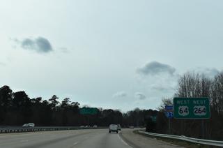
Through the Raleigh area, the U.S. 64 overlaps with the freeway network along portions of U.S. 1, I-40 and I-440. I-87 was established along U.S. 64 in place of I-495 along the Knightdale bypass in 2018. Future I-87 overlays U.S. 64 along the freeway east to Zebulon, Nashville and Rocky Mount.
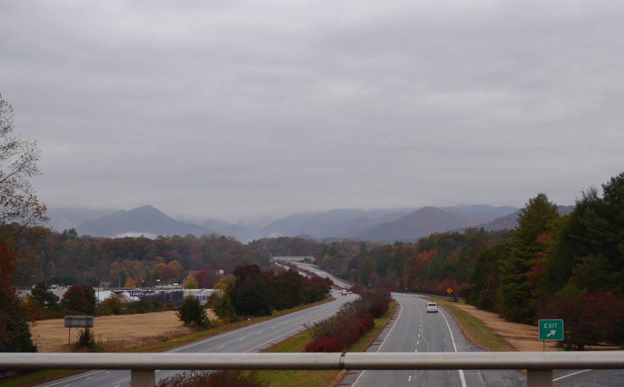
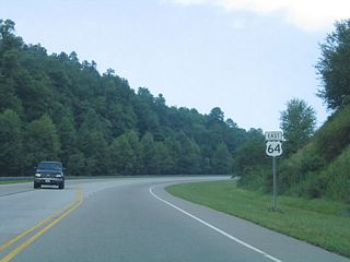
U.S. 64 splits with U.S. 23/441 south at a parclo interchange on the south side of Franklin. U.S. 64 advances west toward the Nantahala Mountains with four lanes for another six miles. - 10/26/2015
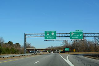
Future I-87 and U.S. 64 continue from Interstate 95 to Tarboro and Williamston. This freeway coincides with U.S. 13 from Bethel east to U.S. 17. U.S. 13/17 split with U.S. 64 for Windsor to the north while U.S. 64 remains a four-lane corridor varying between arterial and freeway to Plymouth and Columbia.
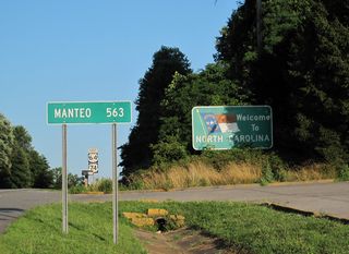
The final stretch of U.S. 64 traverses the lowlands of Terrell and Dare Counties to a terminus at U.S. 158 on the Outer Banks. Before the completion of the Alligator River bridge, U.S. 64 ended at Fort Landing. A more recent realignment shifted the route south from a loop through Manteo onto the Virginia Dare Memorial Bridge, a four lane span opened across Croatan Sound in 2002.
 West
West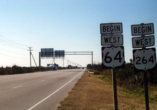
U.S. 158 (Croatan Highway) ends opposite from the westbound beginning of U.S. 64. U.S. 64 continues Virginia Dare Trail west from NC 12 to the Washington Baum Bridge across Roanoke Sound. NC 12 turns southward onto Cape Hatteras National Park Road to Oregon Inlet.
12/26/00

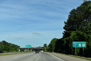
The c/d roadway through the cloverleaf interchange with I-95 merges onto the westbound roadway beyond this confirming marker.
10/12/14
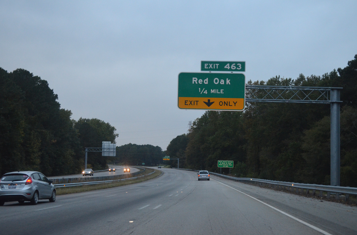
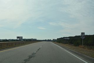
An auxiliary lane accompanies U.S. 64 west to Exit 463 for N Old Carriage Road (SR 1603).
10/12/14
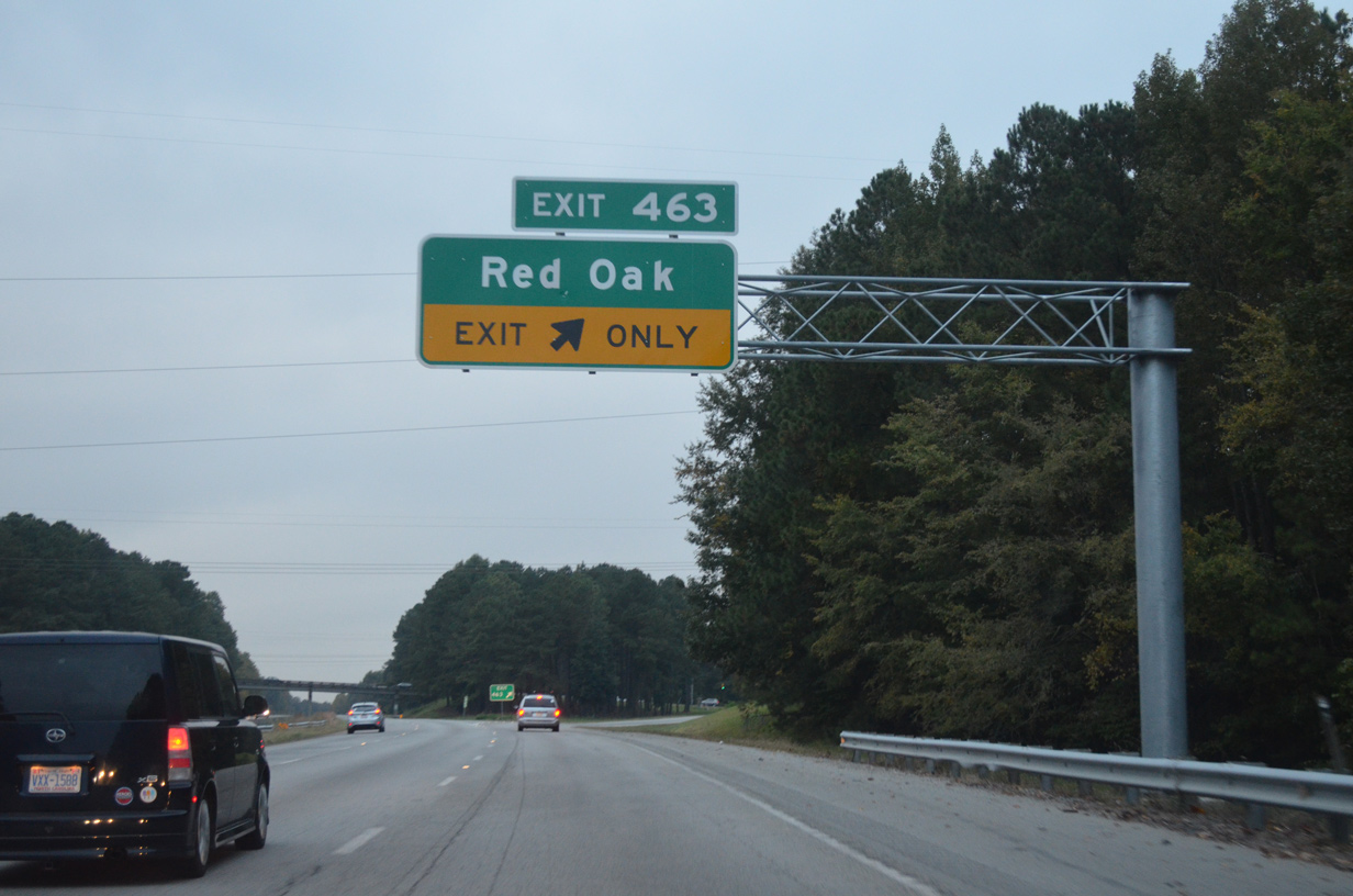
N Old Carriage Rod (SR 1603) runs 3.76 miles north from U.S. 64 at Exit 463 to NC 43 (Red Oak Boulevard) in the town of Red Oak.
10/12/14
 - New Bern Avenue
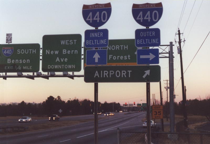
U.S. 64 Business (New Bern Avenue) westbound at Interstate 440 near East Raleigh. U.S. 64 Business combines with the Cliff Benson Beltline south 1.08 miles for the return to U.S. 64 at I-87.
12/24/00
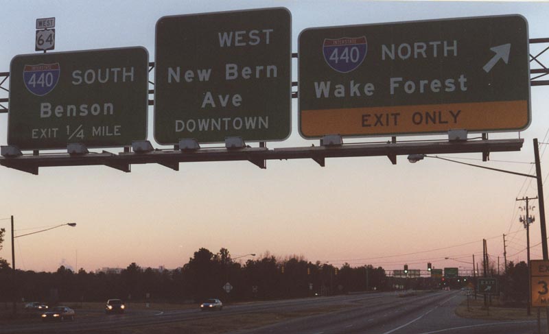
The Knightdale bypass opened in July 2005 as the new alignment for U.S. 64/264. With completion of the freeway, New Bern Avenue became U.S. 64 Business. Interstate 440 was resigned as an east/west route coinciding with the removal of its overlap along I-40.
12/24/00
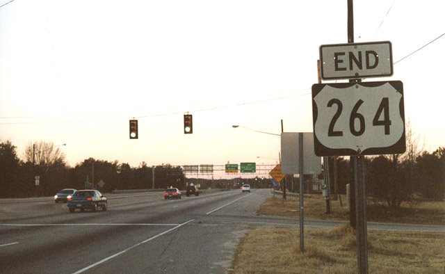
An end shield for U.S. 264 was previously posted along U.S. 64/264 (New Bern Avenue) west at Interstate 440. U.S. 64/264 were subsequently realigned onto the Knightdale Bypass (I-87). New Bern Avenue west into Raleigh is the old alignment of U.S. 64.
12/24/00
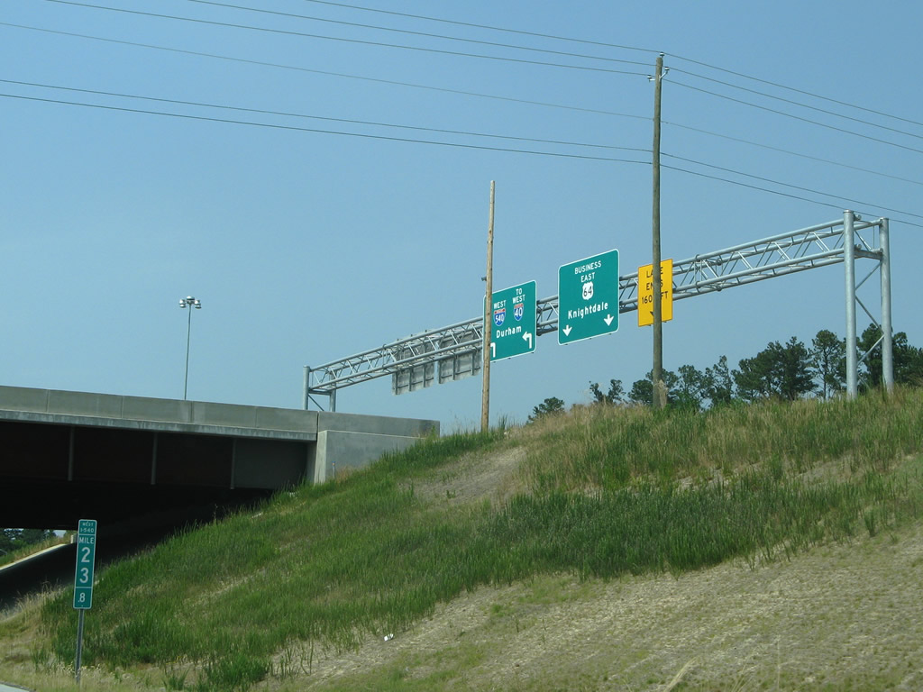
U.S. 64 Business east at the parclo interchange with Interstate 540 outside Knightdale.
05/30/07
scenes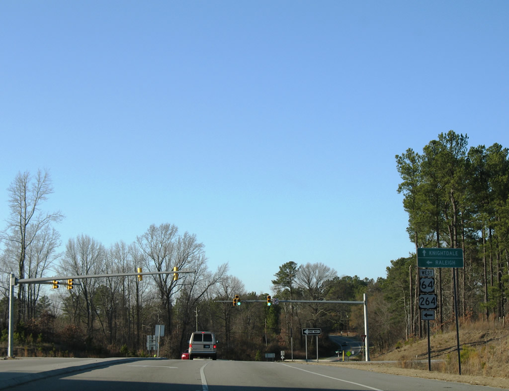
Smithfield Road north at the U.S. 64/264 westbound on-ramp outside Knightdale.
01/02/08
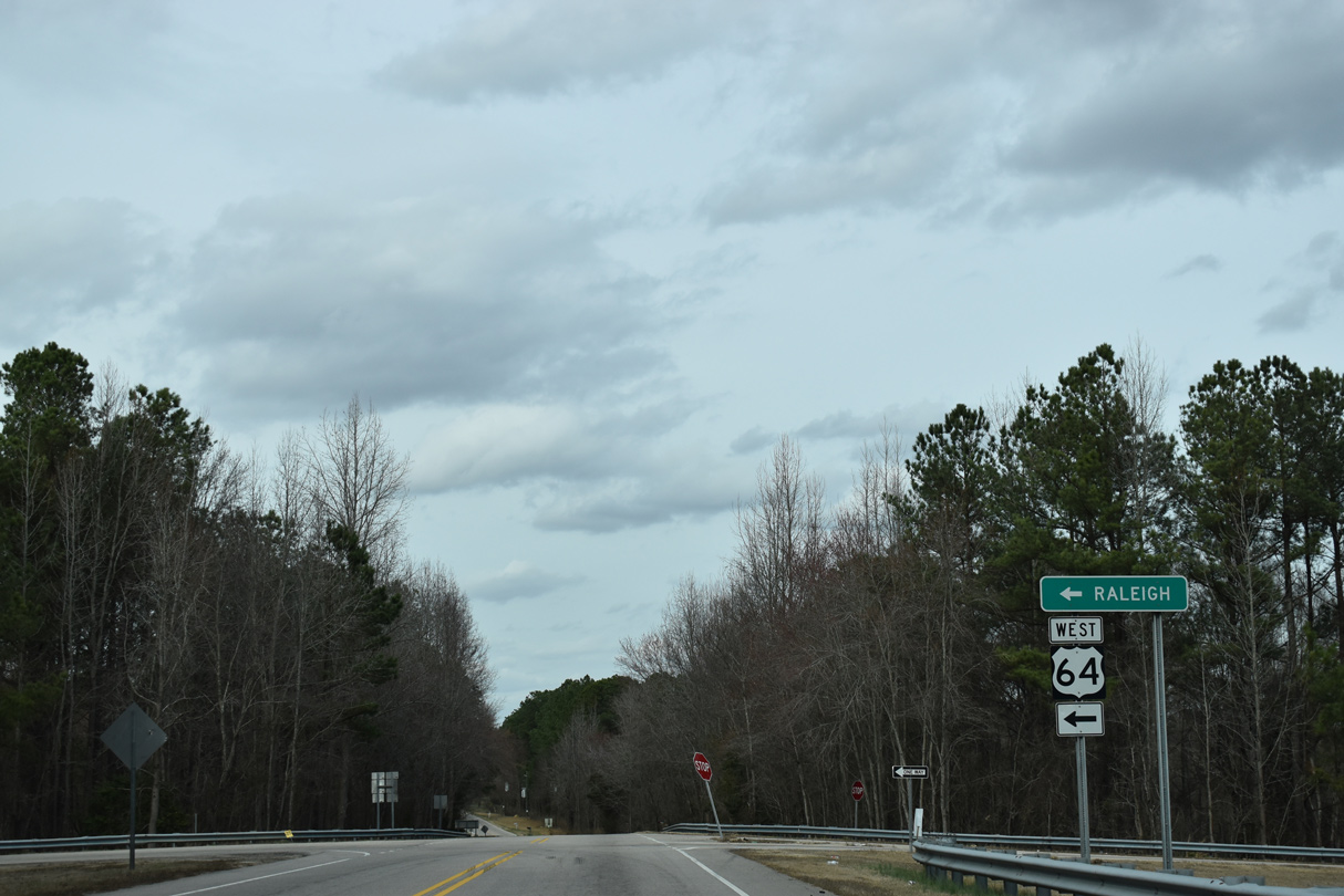
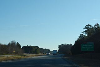
Lizard Lick Road (SR 2329) north at U.S. 64 (Exit 432) in the unincorporated community of Lizard Lick.
02/15/19
N Old Carriage Road (SR 1603) leads south from the town of Red Oak to meet U.S. 64 at Exit 463.
10/12/14
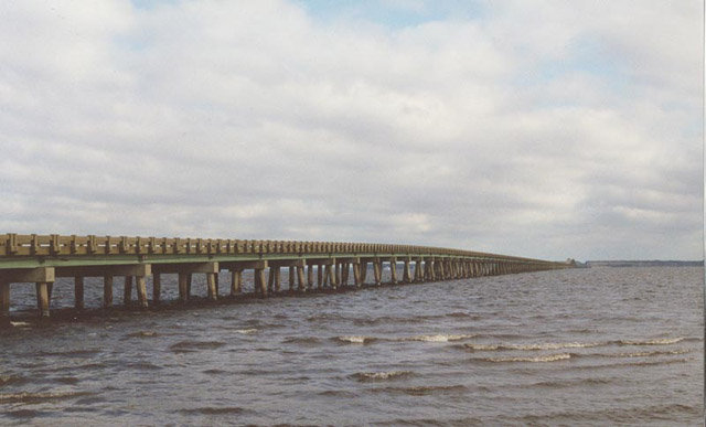
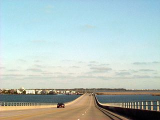
U.S. 64 Business bridge spanning Croatan Sound between Manns Harbor and Manteo on Roanoke Island. U.S. 64 followed this bridge from 1955 to 2002, shifting to the Virginia Dare Bridge upon its completion. The temperature was 20 degrees Fahrenheit with 30+ mph wind gusts at this time.
12/24/00
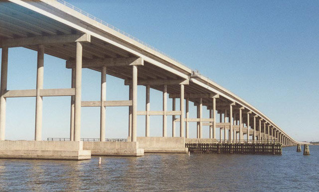
The Washington Baum Bridge of U.S. 64 links Manteo with Bodie Island. Carrying five lanes of traffic, the span opened in 1990.
12/26/01
Photo Credits:
- Alex Nitzman: 12/24/00, 12/26/00, 12/26/01, 01/02/08, 10/12/14
- Andy Field: 05/30/07
- Brent Ivy: 02/15/19
Connect with:
Page Updated Friday August 13, 2021.