
Route 24/27 West - Montgomery County


2.2 miles west of the Moore County line, NC 24/27 enters a diamond interchange with I-73-74/U.S. 220. The rural freeway travels southward to Ellerbe and northward to Asheboro and Greensboro.
07/12/05
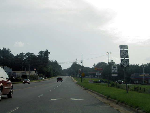
NC 24/27 briefly widen to four lanes within the vicinity of the freeway interchange. West of I-73-74/U.S. 220, the pair follow East / West Main Street into Downtown Biscoe.
07/12/05

U.S. 220 Alternate represents the pre-freeway alignment of U.S. 220 along North / South Main Street through Biscoe. U.S. 220A links the community with Candor to the south and Star to the north.
07/12/05
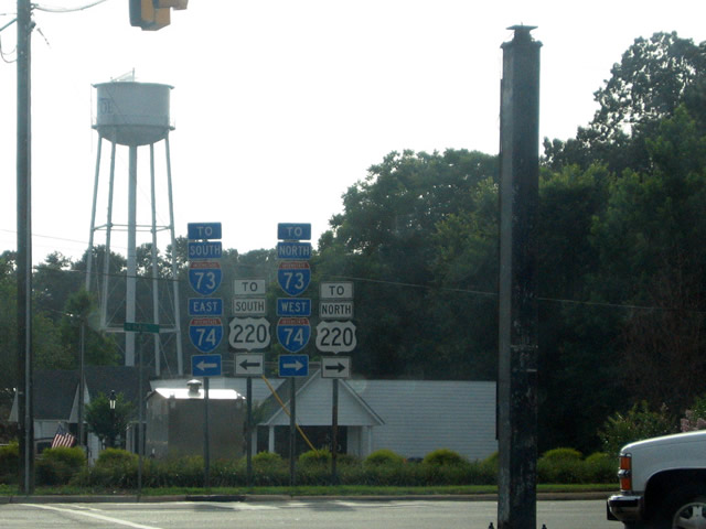
I-73-74/U.S. 220 trailblazers posted at the E Main street intersection with N and S Main Street. U.S. 220A heads north 3.4 miles to Spies Road west of an exchange with I-73/74 and south 5.2 miles to Blake Street (NC 211) near its junction with the freeway.
07/12/05
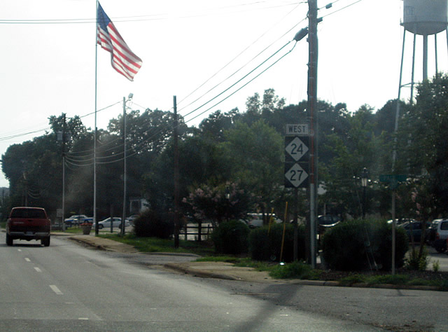
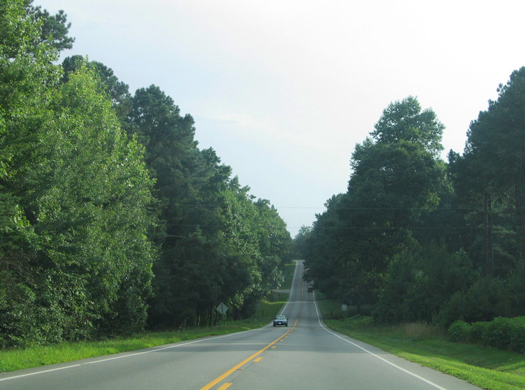
Following West Main Street outward from downtown Biscoe along NC 24/27 west.
07/12/05

NC 24/27 carry five overall lanes from Biscoe into its outlying area. This set of shields are posted after the intersection with Coggins Road. Further west the highway widens to four lanes with a grassy median. The stretch of road is known as the Bob Jordan Highway.
07/12/05
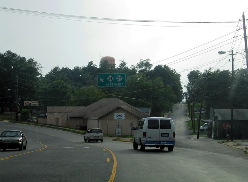
Page Street branches northward from NC 24/27 on the outskirts of Troy. The state highways curve southward toward the Montgomery County seat in this scene.
07/12/05

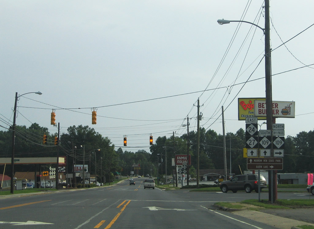
NC 134/109 Business intersect NC 24/27 (E Main Street) at N and S Main Street in downtown Troy. NC 109 bypasses Downtown to the west between Gilead Road and Eldorado Road. NC 134 begins in Troy and heads north 19 miles to I-73-74/U.S. 220 near Ulah.
07/12/05

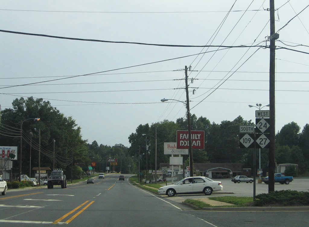
S Main Street continues unnumbered to SR 1005 into Uwharrie National Forest. NC 109 Business combines in an implied overlap with NC 24/27 along W Main Street to their southward turn onto Gilead Road.
07/12/05

The Montgomery County Courthouse lies on the southeast corner of the Main Street intersection in Downtown Troy.
07/12/05
A span-wire guide sign directs NC 24/27 motorists onto Gilead Road west at the split with West Main Street.
07/12/05
Bilhen Street carries NC 109 Bypass 0.8 miles north from NC 24/27 (Gilead Road) to Eldorado Road. NC 109 north continues eight miles to Uwharrie and 12 miles to Eldorado through Uwharrie National Forest.
07/12/05
Continuing west, NC 109 combines with NC 24/27 for a 3.5 mile shared alignment.
07/12/05
NC 24-27 west / NC 109 south reduce to two lanes on the drive from Troy.
07/12/05

NC 109 parts ways with NC 24/27 within national forest land 2.7 miles north of Wadeville. The state highway travels southward to Mount Gilead and Wadesboro.
07/12/05

Overall NC 109 measures 117 miles in length from South Carolina Highway 109 to Interstate 40 in Winston-Salem.
07/12/05
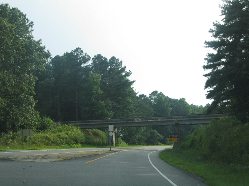
Resuming a westward course, NC 24/27 leave NC 109 and pass under a Aberdeen, Carolina & Western Railway line.
07/12/05
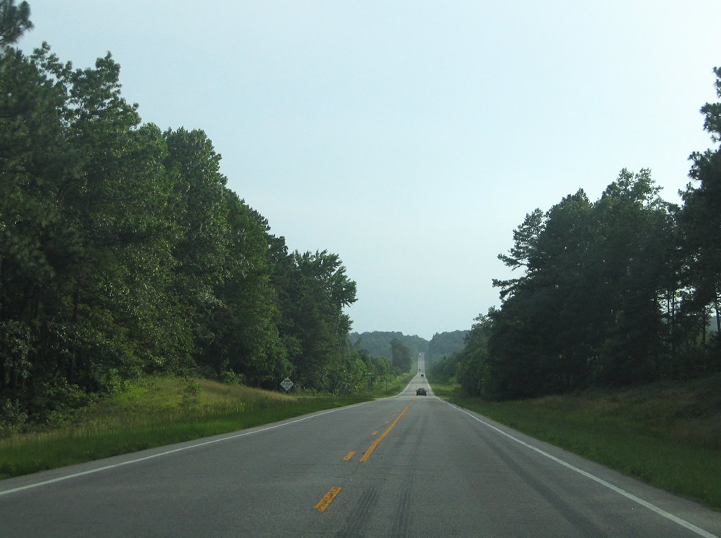
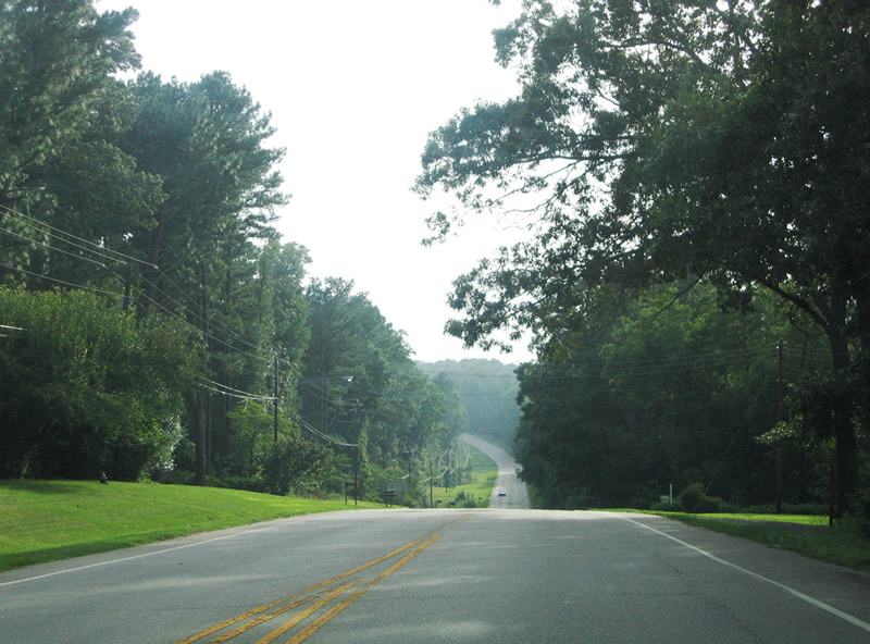
Bee lining westward near Bruton Carpenter Road and the Liberty Hill area on NC 24/27 west.
07/12/05

Liberty Hill Church Road north and Wadeville Road (SR 1134) come together at NC 24/27 before this shield assembly.
07/12/05

River Road (SR 1150) heads north from NC 24/27 along the Pee Dee River to Baden Lake Recreation Area within Uwharrie National Forest. Southward the secondary route provides a cut-off to NC 73.
07/12/05

NC 24/27 westbound reassurance assembly including a N.C. Scenic Byway trailblazer. The state highway pair exits the National Forest ahead of NC 73.
07/12/05

NC 73 enters the Lake Tillery area from Mount Gilead eight miles to the south for a nine mile overlap with NC 24/27 west.
07/12/05

Westbound at the merge with NC 73 west. NC 73 east travels 25 miles to U.S. 220 Alternate outside Ellerbe and 123 miles overall between Boger City and Eastwood.
07/12/05

NC 24-27-73 widen to four lanes and span the Pee Dee River at Lake Tillery. The westbound span, known as the Swift Island Bridge, opened in 1927. The eastbound bridge was built in 1979. There is a lot of history surrounding the Swift Island Bridge, and the ailing span was replaced with a new bridge.1
07/12/05

The Pee Dee River separates Montgomery and Stanly Counties. NC 24/27 exit Montgomery County after a 21.8 mile drive.
07/12/05


References:
Photo Credits:
- Alex Nitzman: 07/12/05
Connect with:
Page Updated Thursday April 23, 2009.